


Illinois Map Prints, Hydrological & Shaded Relief Maps
Our custom printed Illinois wall maps add a beautiful touch of the American Midwest to your home or office. From our stunning elevation maps and geological relief maps to our meticulously restored historical maps, every Illinois map we create reflects the high quality and attention to detail our customers have come to love and expect from Muir Way.
What makes Muir Way maps of Illinois unique?
When you think of a wall map, you likely think of a thin, glossy, rolled up poster. Not at Muir Way. When you purchase an Illinois wall map from us, you’re getting a custom-printed fine art map using archival inks and 100% cotton fine art paper certified to last 100 years. The artwork of our maps is enhanced to highlight the beautiful terrain it features. Our elevation maps use hand-shaded relief and Digital Elevation Data to create a 3D effect on a 2D surface, and our hydrological maps depict every waterway--even intermittent streams--and every body of water over 0.2 miles in diameter. The meticulous craftsmanship and handcrafted design we bring to our maps creates heirloom quality wall art to last for generations.
Can I buy a framed Illinois map?
Yes! Many of our maps are available on fine art paper or as beautiful gallery-wrapped canvas, and all of our Illinois maps are available professionally custom-framed with real wood. For a framed Illinois map, choose from several different colors and wood finishes. If you’d prefer to frame your Illinois map yourself, all of our maps come in standard frameable sizes.
Why is a Muir Way map of Illinois a good gift idea?
Perfect for “someone who has everything”, our custom-printed maps are popular gift choices for holidays, anniversaries, or as farewell or thank-you gifts. From our terrain maps to our vintage map of Chicago, you’re sure to find a map of Illinois that will leave an impression on that special relative, friend, or client. Our countless happy customer reviews reflect the quality we stand by when you purchase one of our maps as a gift.
How should I display my map of Illinois on the wall?
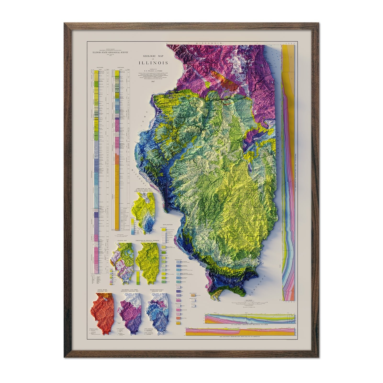
Our maps are designed to offer visual impact whether viewing up close or from across the room. Hang a framed Illinois wall map at eye level, or purchase several different maps and arrange them near each other for a complementary series. For color coordination, our hydrological maps come in several colors or the quintessential black and white, and our geological relief maps feature brilliant colors. No matter which you choose, you’re sure to find an Illinois illustration that will look right at home.
What are the different types of maps of Illinois available on Muir Way?
Our Illinois maps are available in several different styles, including:
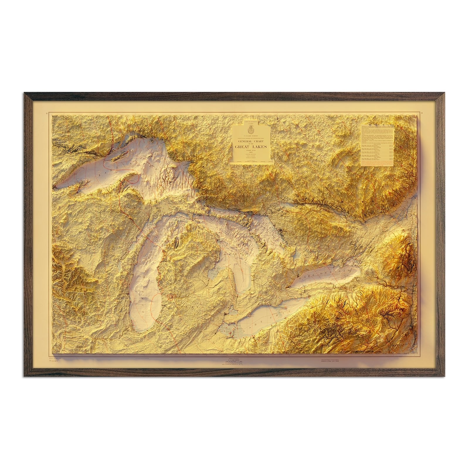
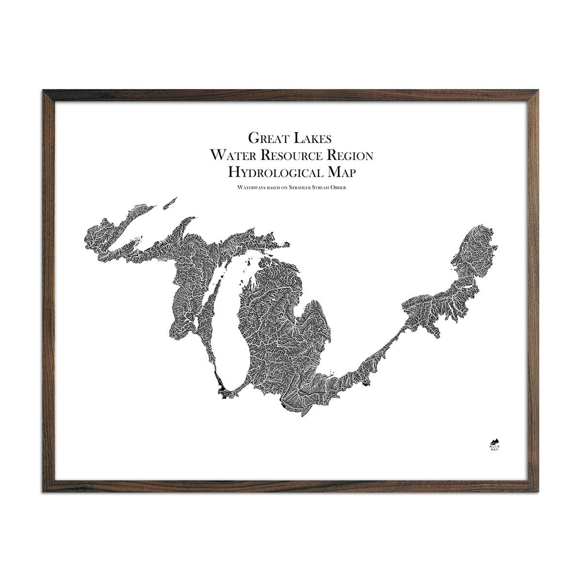
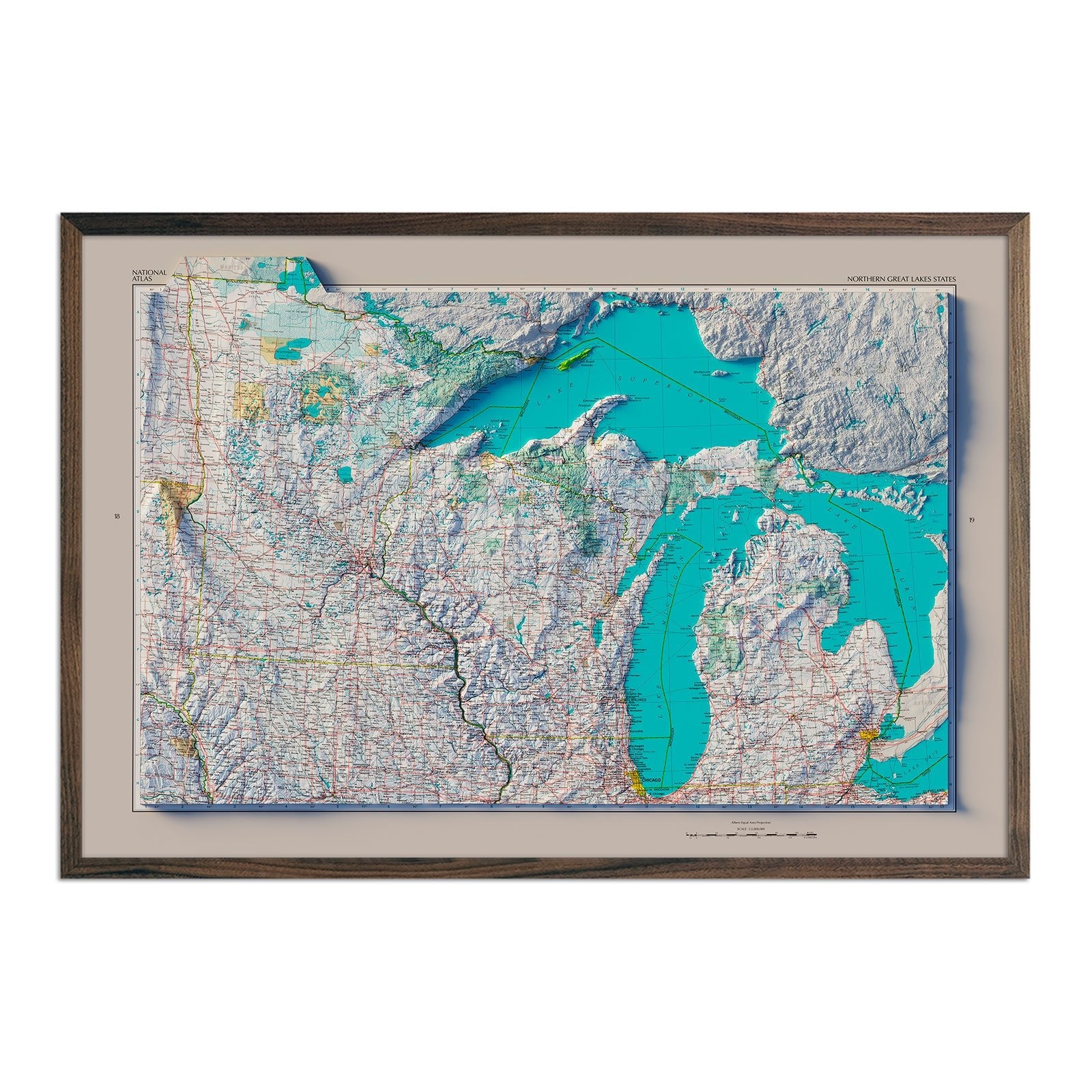
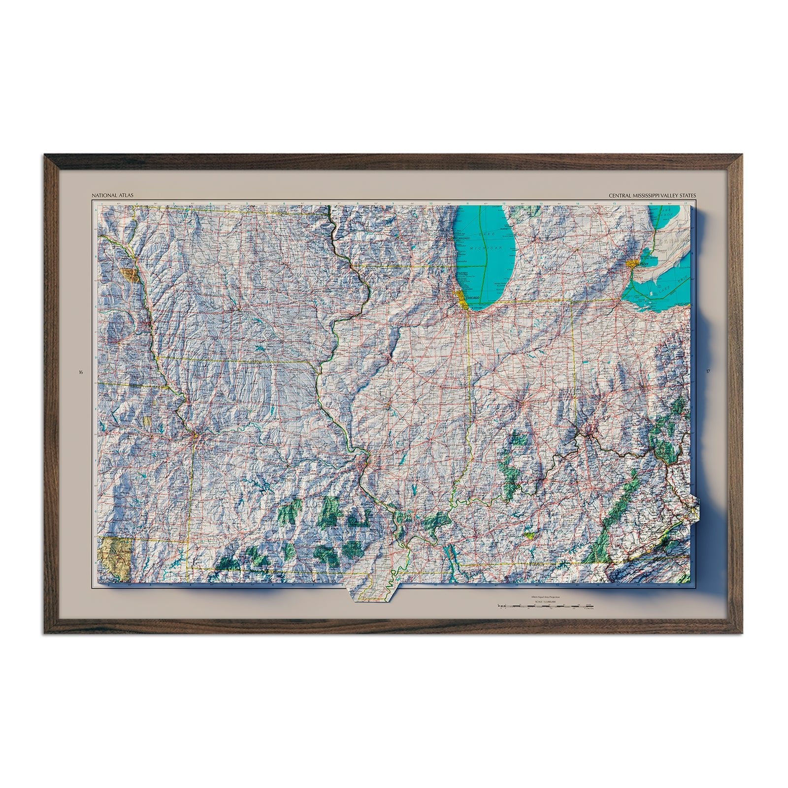
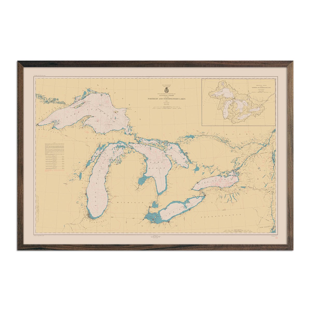
Great Lakes relief map - See The Great Lakes as you’ve never seen them before with our custom Great Lakes Relief Map (1955), featuring hand-shaded relief and USGS digital elevation data combined with vintage map imagery for a beautiful three-dimensional illusion on a flat paper surface.
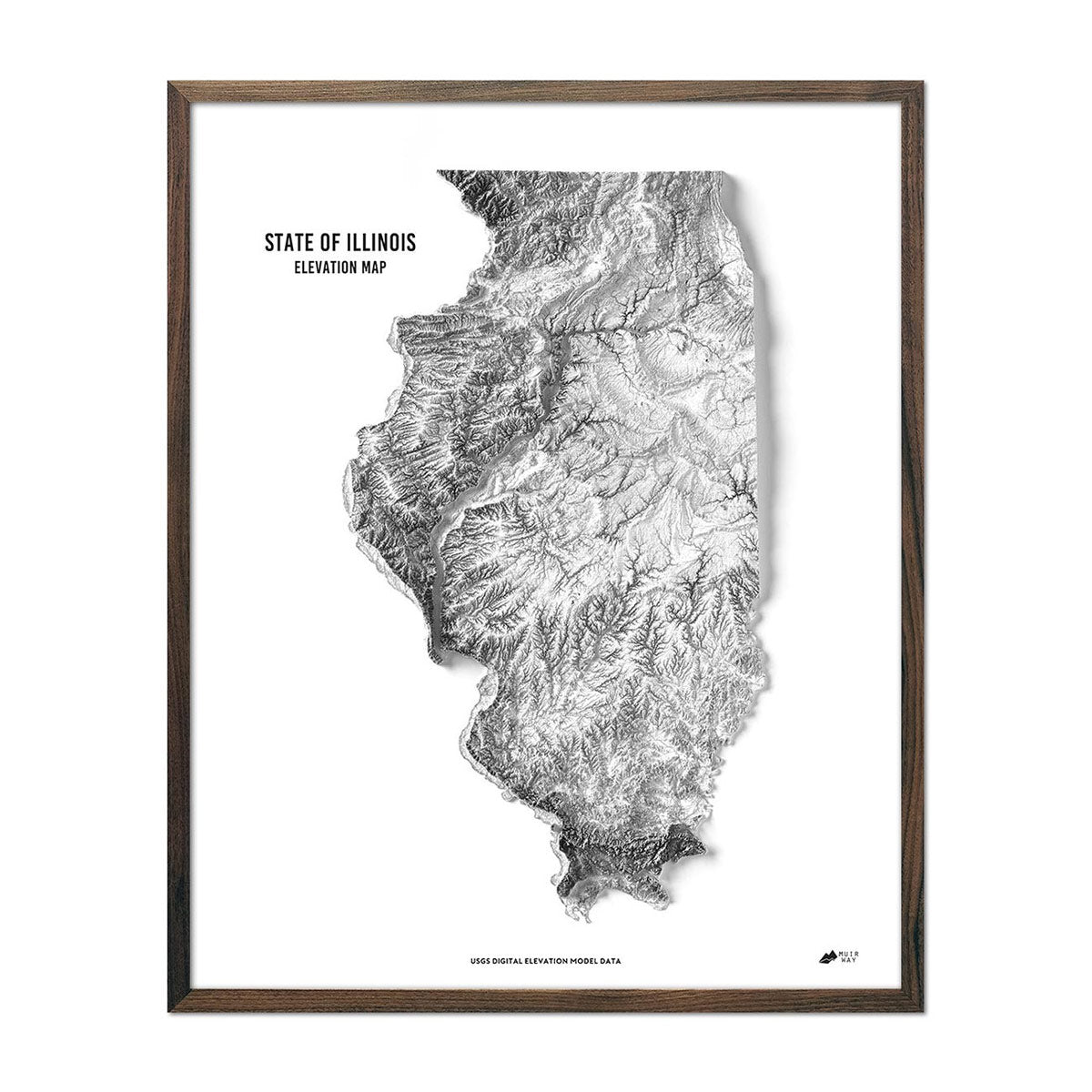
Illinois elevation maps - Our state of Illinois elevation map also uses Digital Elevation Data from the USGS to create a high-contrast 3-dimensional effect in stunning black and white, providing crisp detail and a refreshing view of Illinois’ variegated terrain.
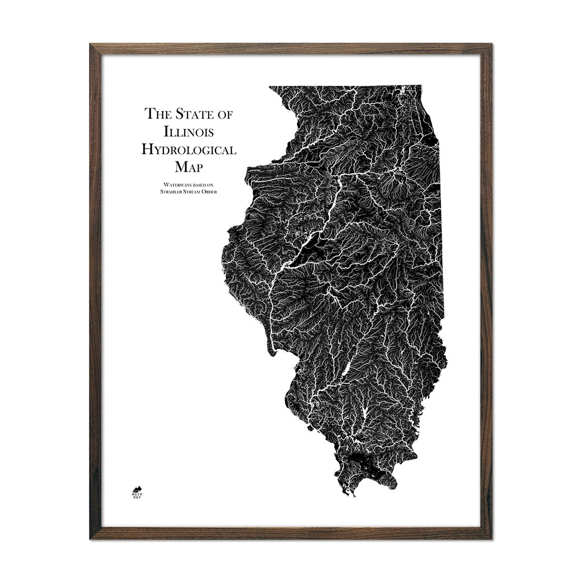
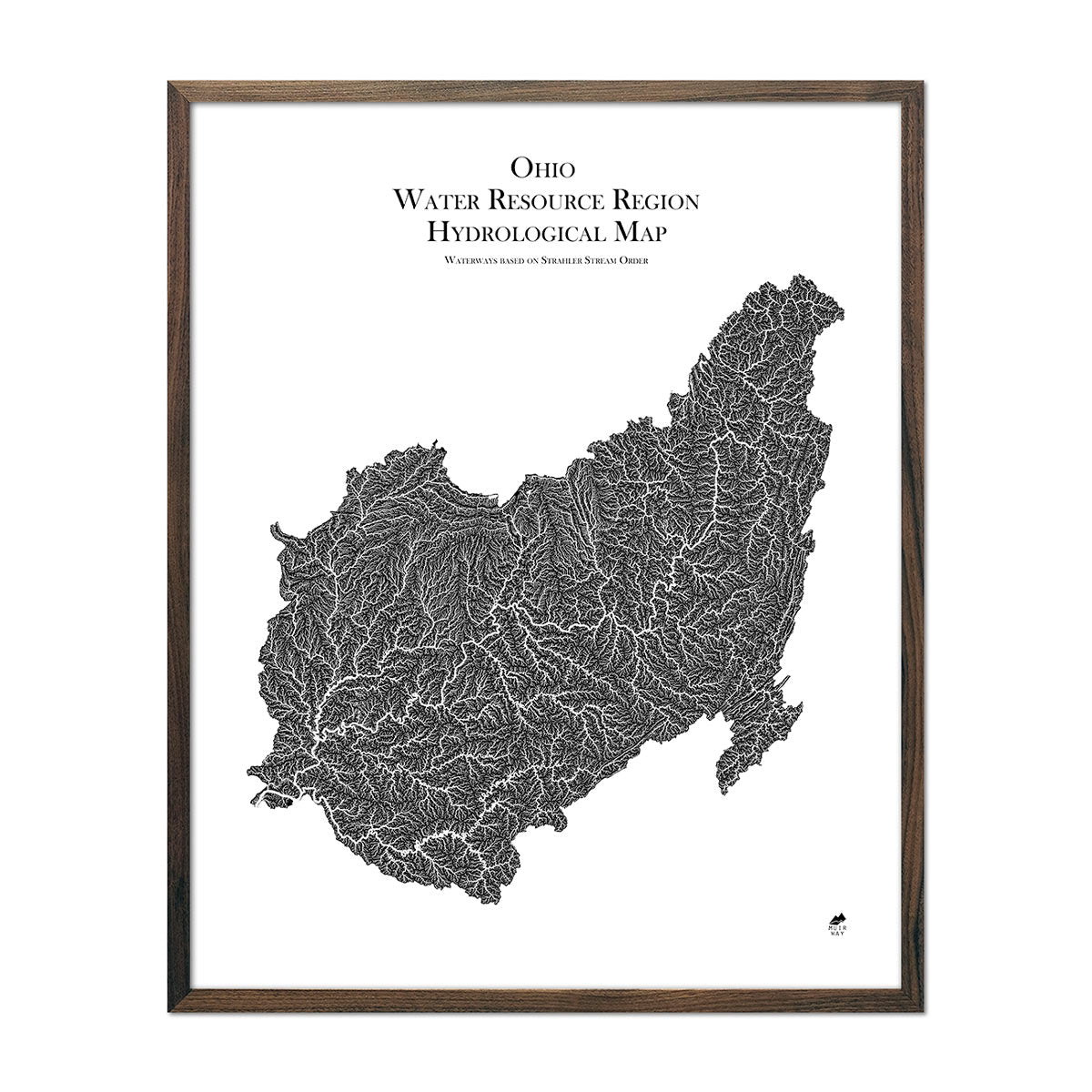
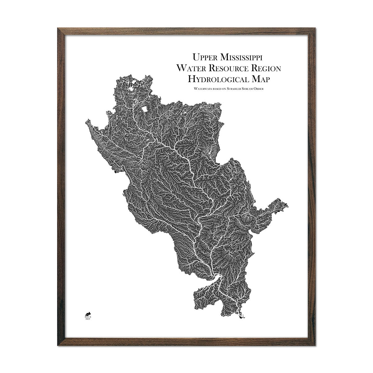
Illinois hydrological maps - Our hydrology maps of Illinois’s waterways deliver meticulous detail and are available in multiple colors. Whether following the interconnected trails of water on our Great Lakes regional hydrological map, our Upper Mississippi regional hydrological map, or our Ohio Water Resource Region hydrological map, you’ll be able to view every single river and intermittent stream, as well as all bodies of water greater than 0.2 mi in diameter. What makes our hydrology maps even more unique? We implement the Strahler Stream Order method to show the hierarchy of streams as they flow from their source, showing rivers thicker as they acquire the flow of tributaries, making for clearer visuals and an easier path for the eye to follow the waterways.
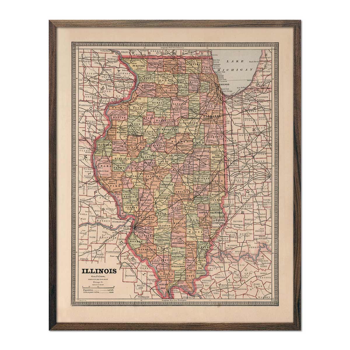
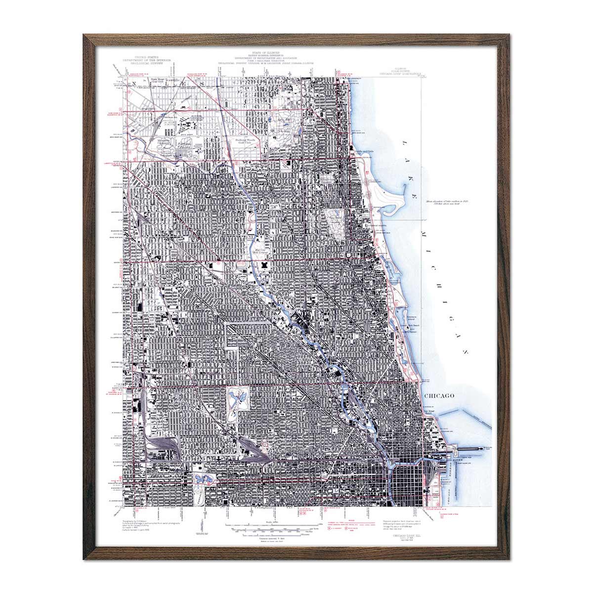
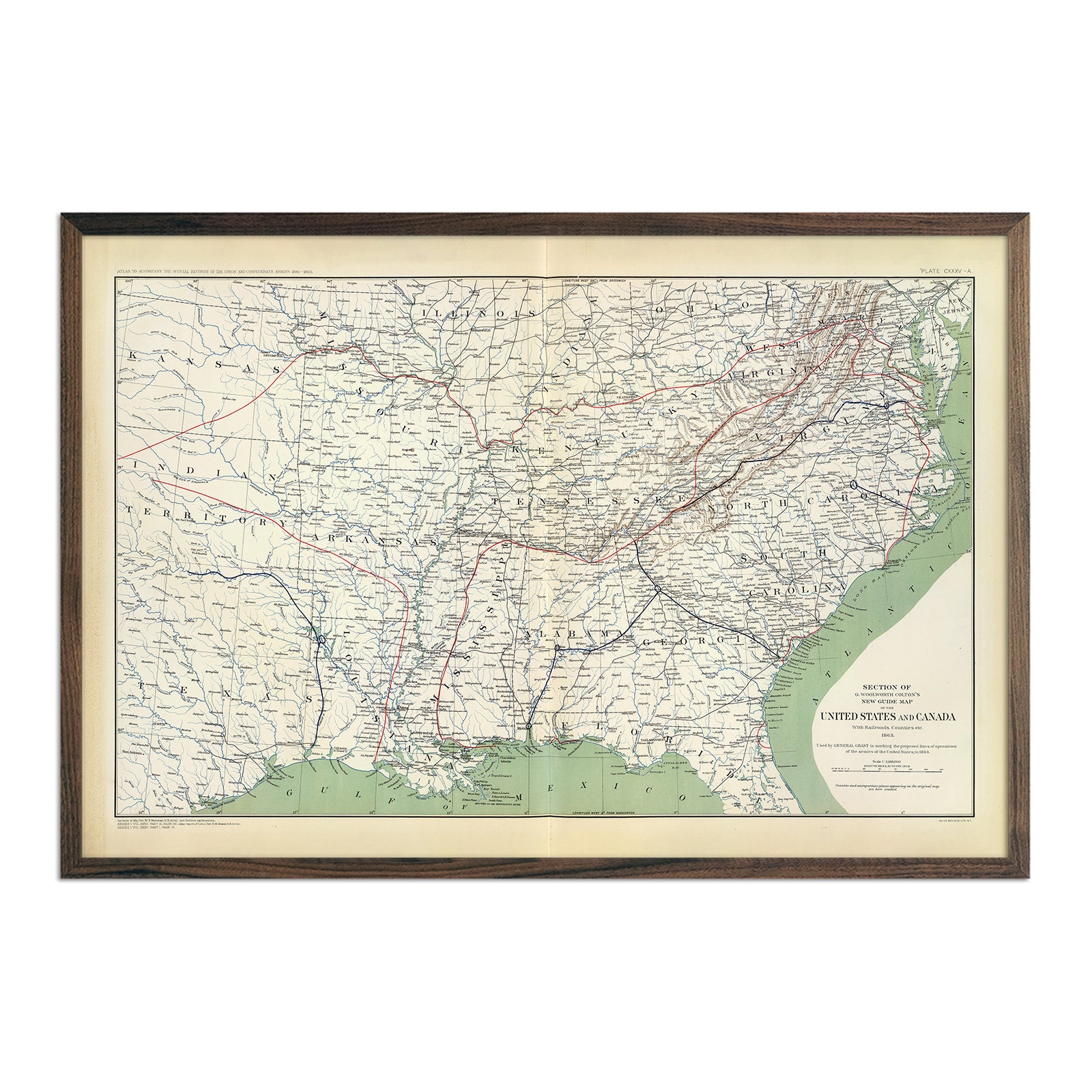
Enhanced Vintage Illinois Maps - Our more traditional enhanced vintage maps of Illinois use vintage map imagery that’s been painstakingly restored and clarified for easier viewing while retaining its vintage charm. Choose from our vintage map of Illinois or our vintage map of Chicago.
What are some prominent features on the map of Illinois?
Illinois’ nickname of “The Prairie State” directly references the majority of its landscape encompassed by the Central Plains and other flat, lowland geography. These swaths of flat land and fertile soil have made Illinois the one of the top five corn producing states in the country, and you can clearly see the more subtle variations in terrain on our Illinois elevation map.
The Gulf Coastal Plains in the southern tip of the state are where the Ohio and Mississippi rivers meet, creating a river delta that is sometimes referred to as ‘Egypt’ for its resemblance to the Nile Delta.
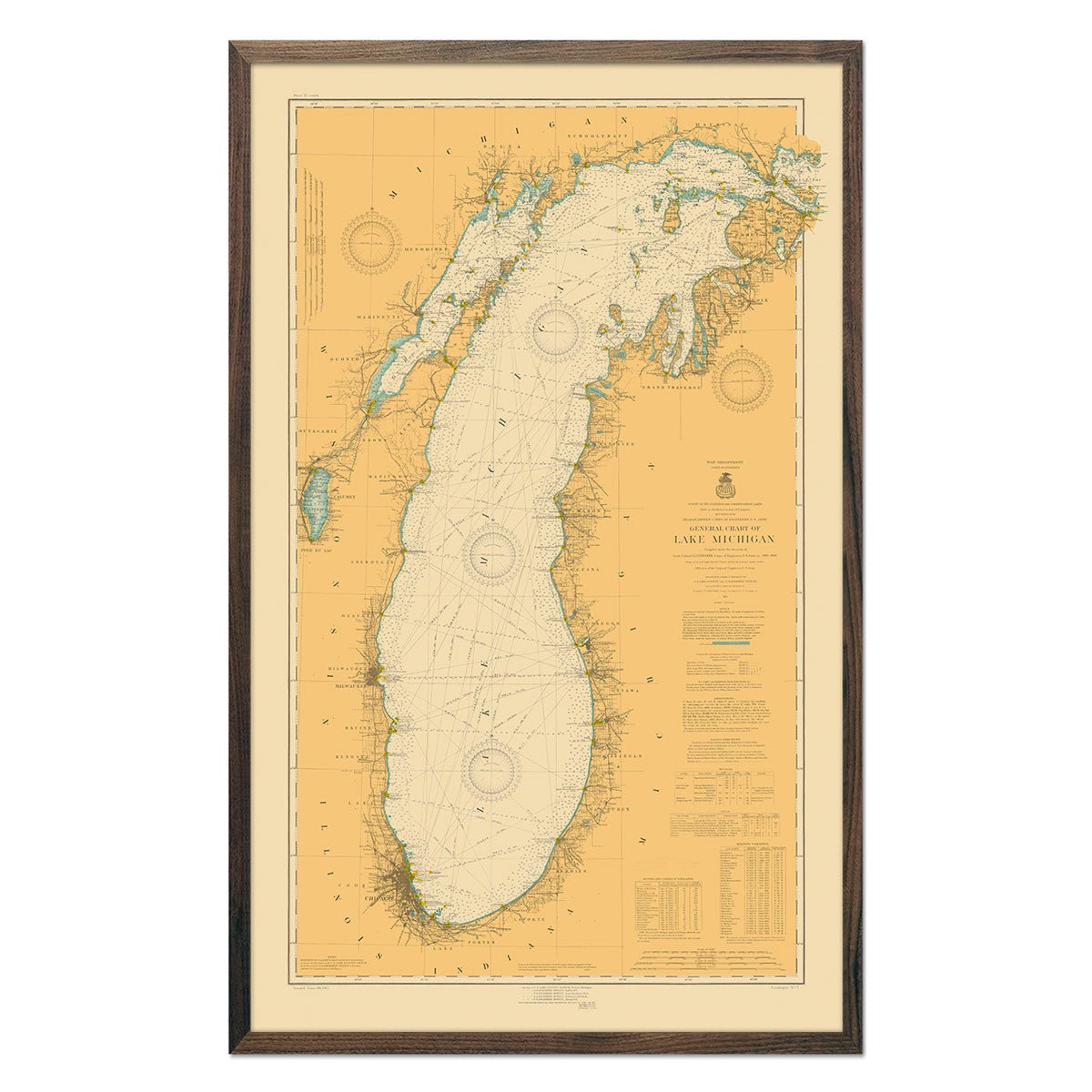
Depending on the type of map of Illinois, you’ll likely see Lake Michigan (and possibly other Great Lakes if looking at a more regional map), and the neighboring land region known as The Great Lakes Plains.
What are the regions in Illinois?
Illinois is divided into three major geographical regions:
-
The Central Plains - This region of Illinois covers nearly 90% of the state, and is divided into three smaller subsets:
- The Great Lakes Plains - This stretch of low, flat land runs along Lake Michigan, with smaller hills north and west of Chicago.
- The Driftless Plains - Northwestern corner of Illinois. These plains have the highest elevations in the state, including Charles Mound, Illinois’ highest point.
- The Till Plains - The largest section of the Central Plains region. This is where Illinois corn is produced. Due to its fertile soil, this region is also sometimes referred to as The Garden Spot of the Nation.
- The Shawnee Hills - Southern Illinois. This is a small strip of land with higher elevations and has rivers, valleys, and woodland areas throughout.
- The Gulf Coastal Plains - A small section of the Gulf Coastal Plain covers the southernmost tip of Illinois. This area where the Ohio and Mississippi rivers meet is sometimes referred to as ‘Egypt’ as it closely resembles Egypt’s Nile Delta.
If you like our collection of Illinois maps, you may also be interested in maps of other Midwest states. Click below to browse:
