


Handcrafted in the USA
Maps Worth Hanging. Places Worth Remembering.
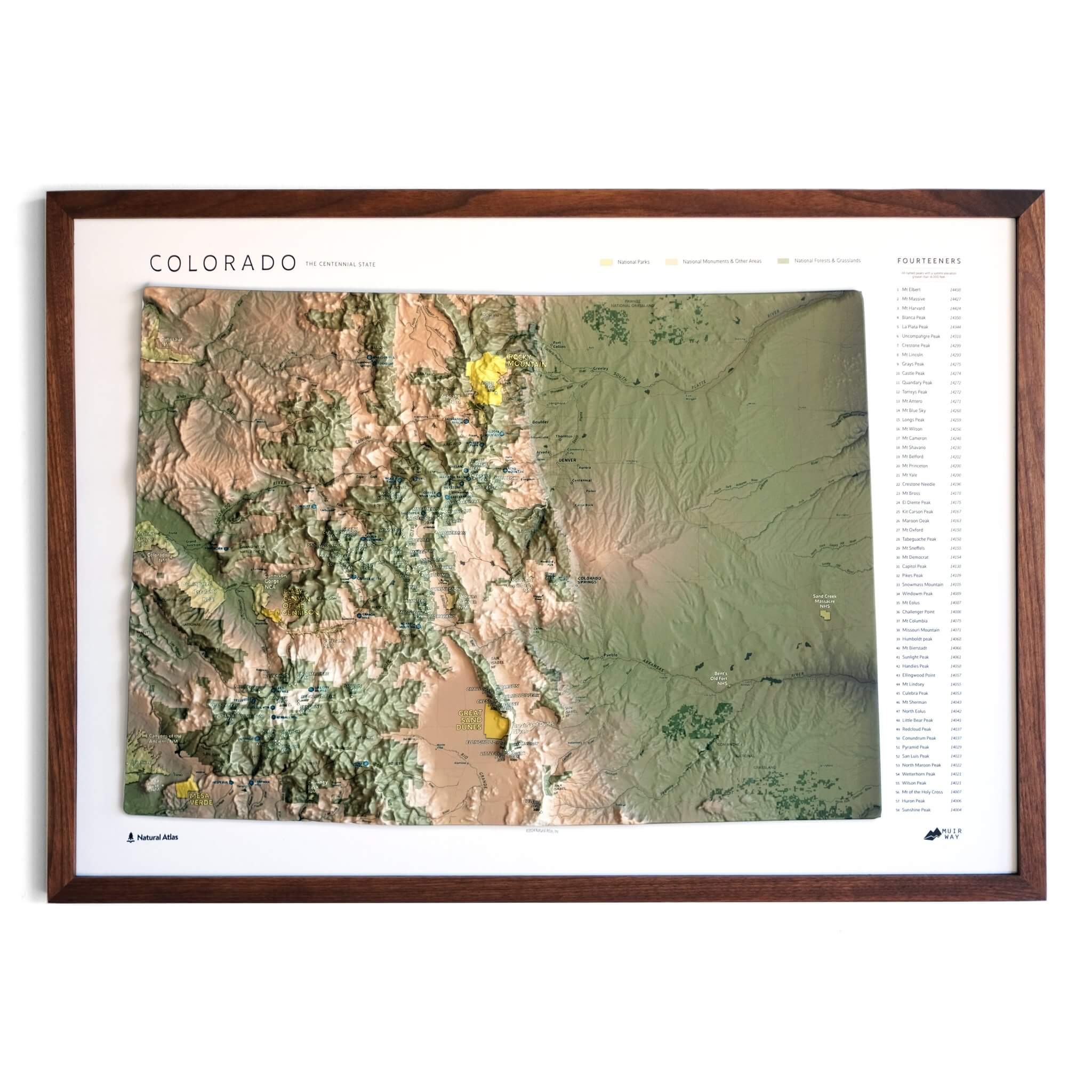
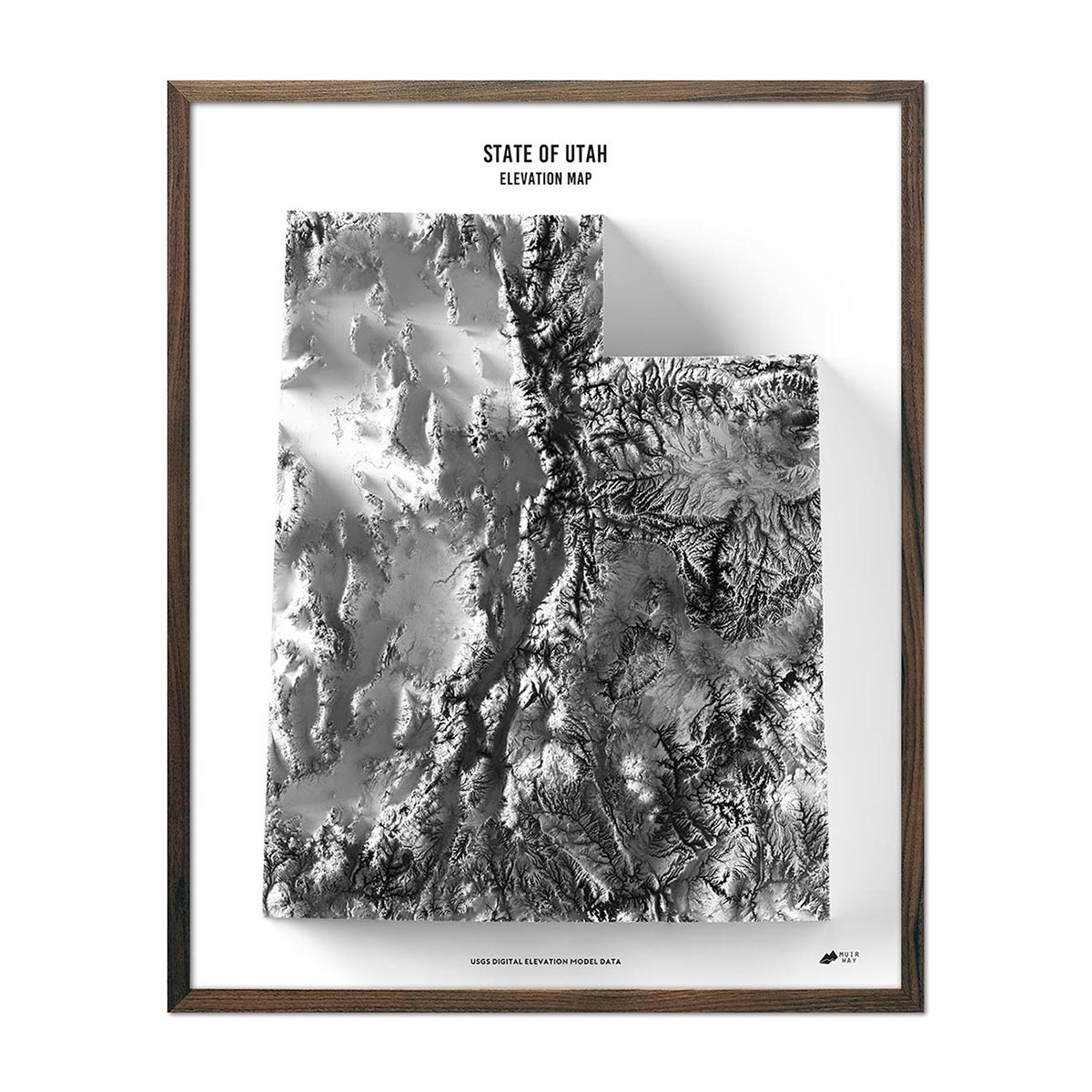
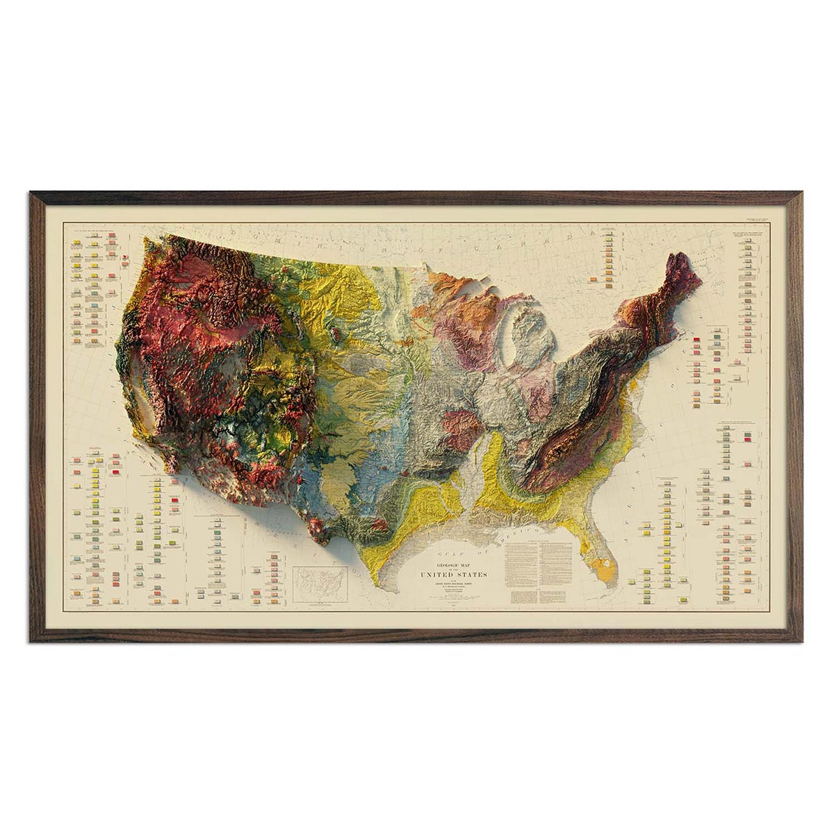
2D Shaded Relief Real 3D Raised Relief
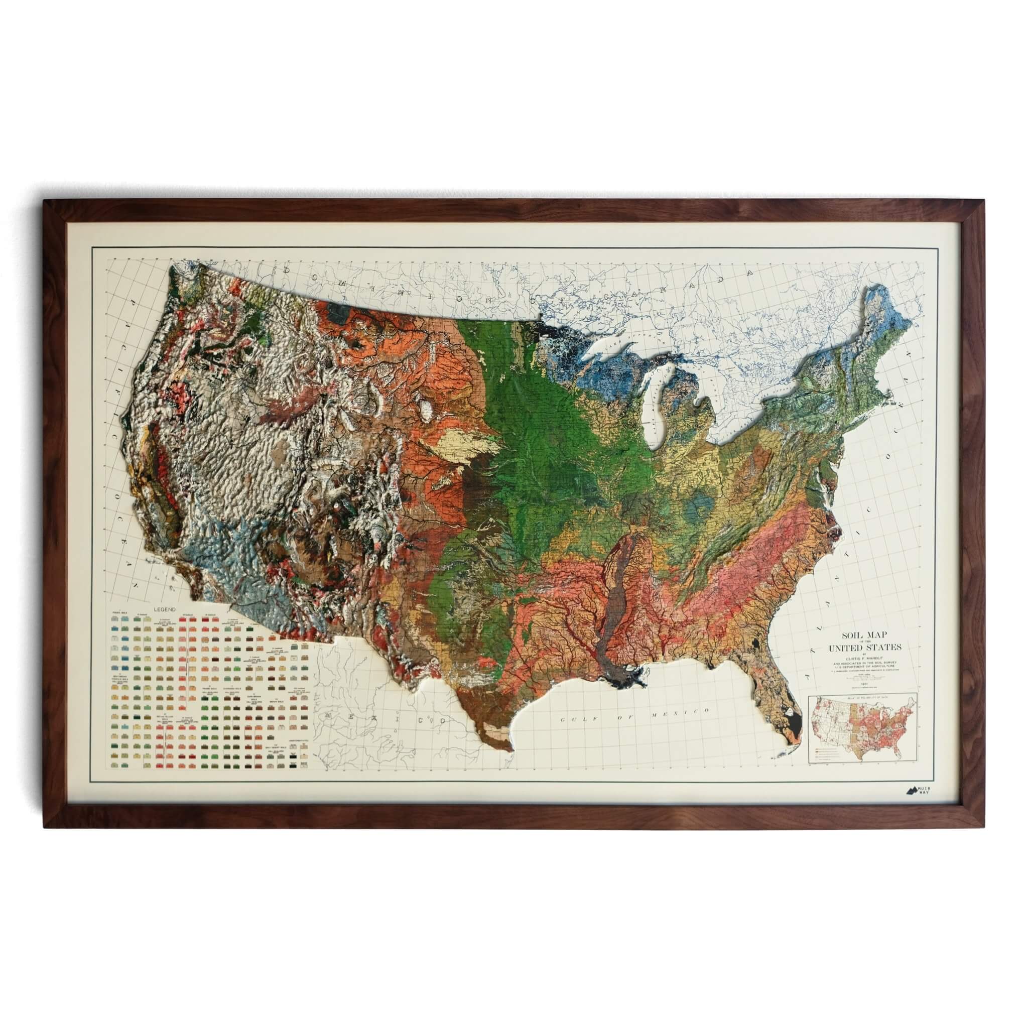
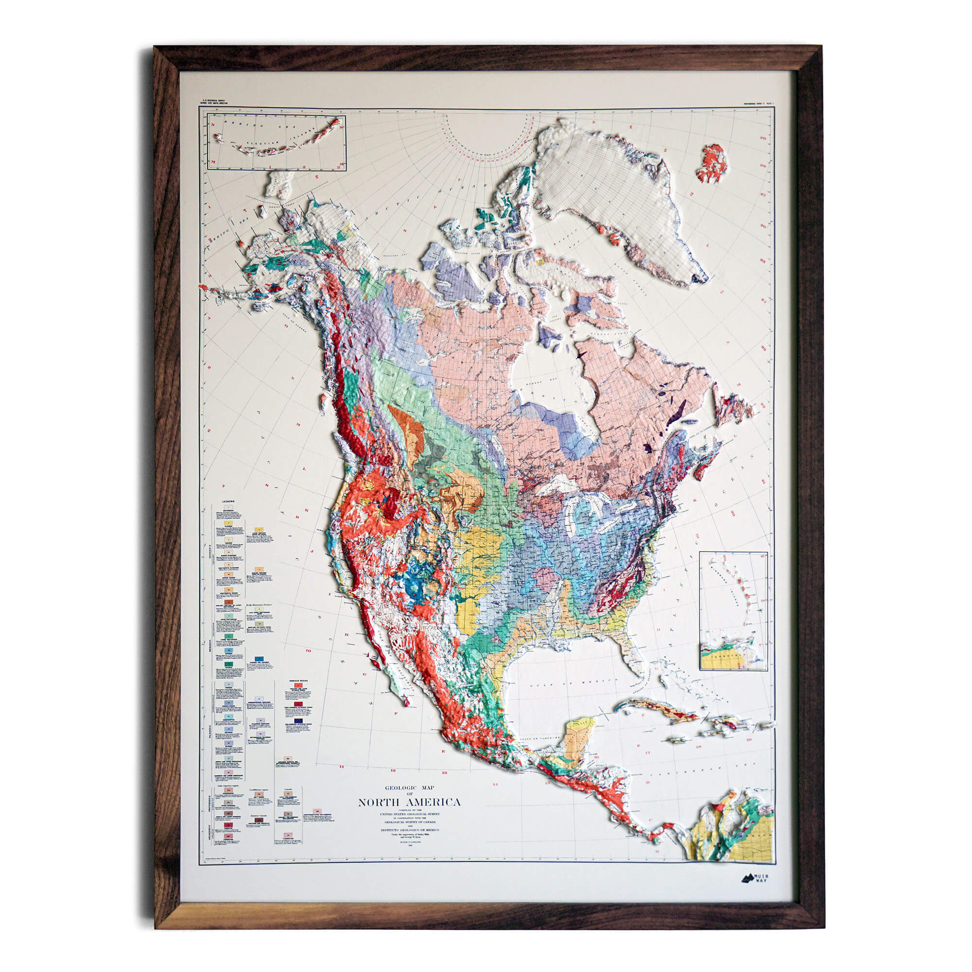
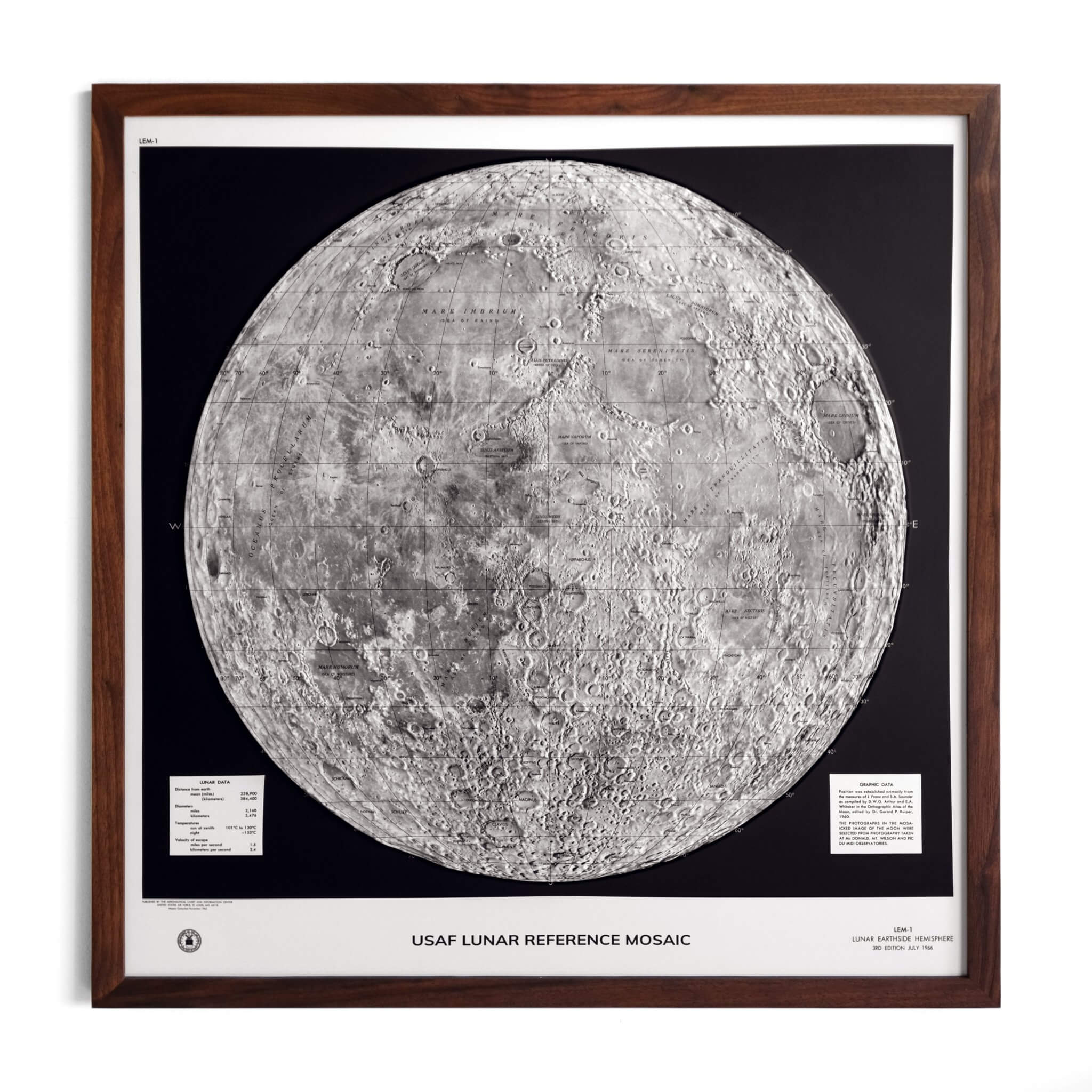
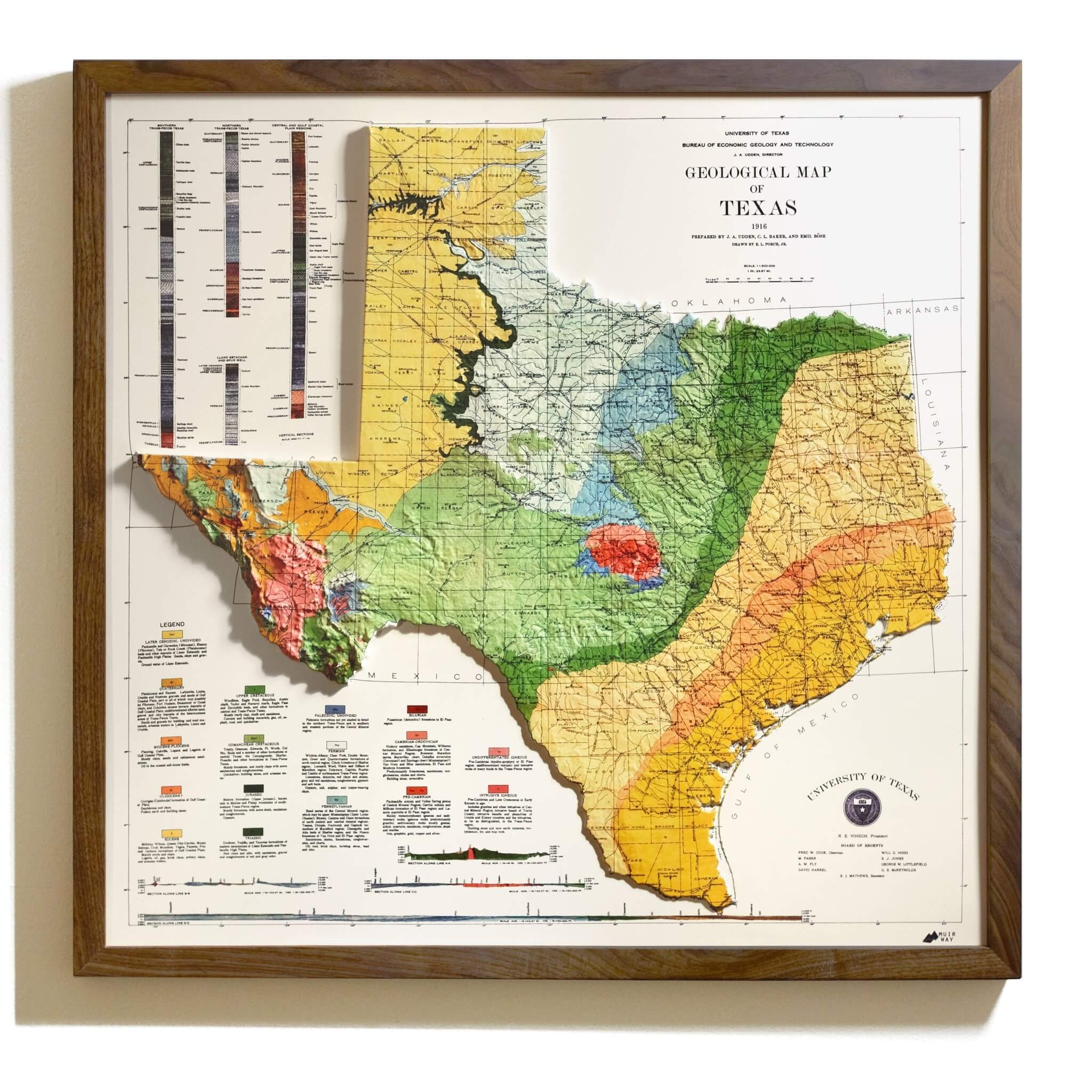
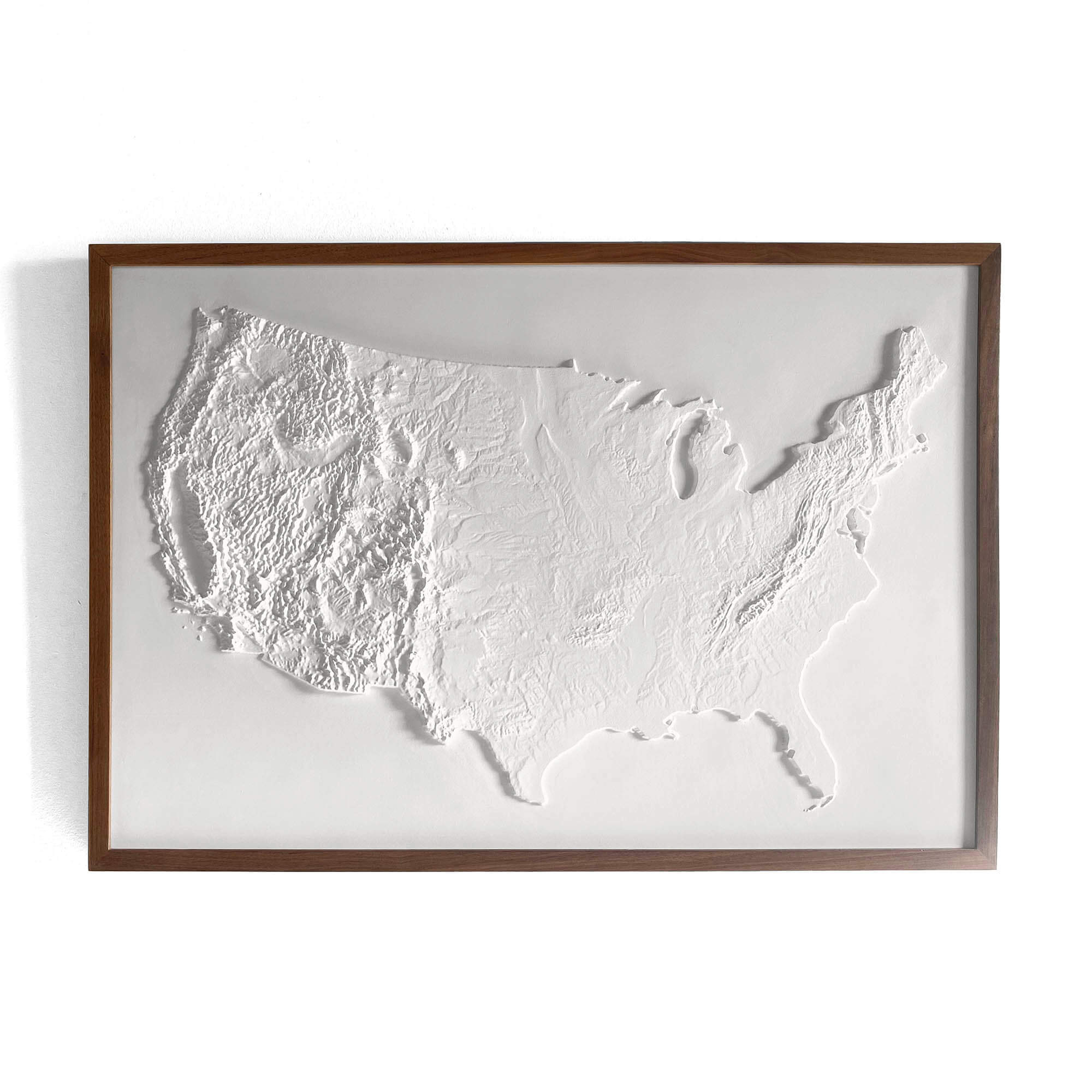
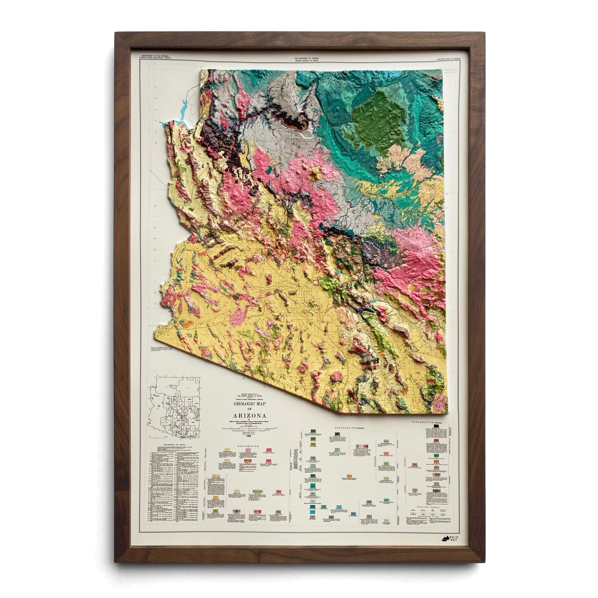
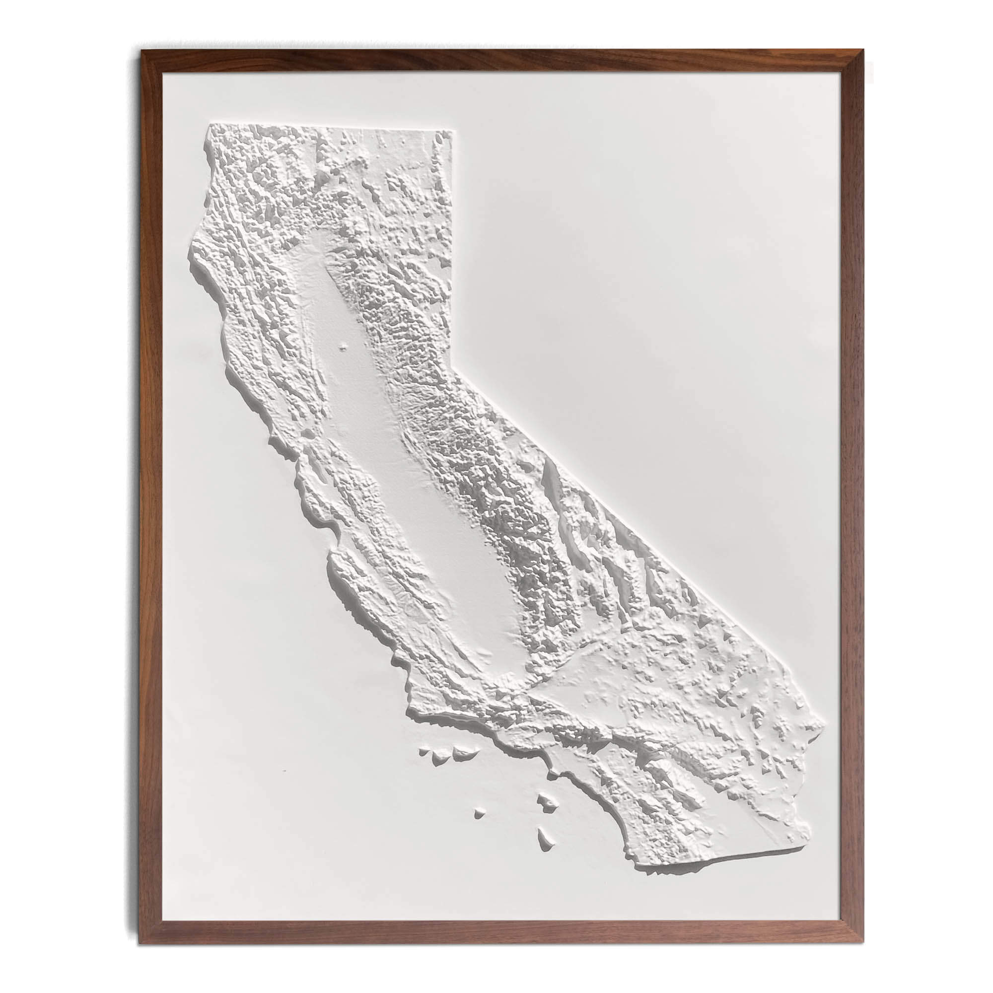
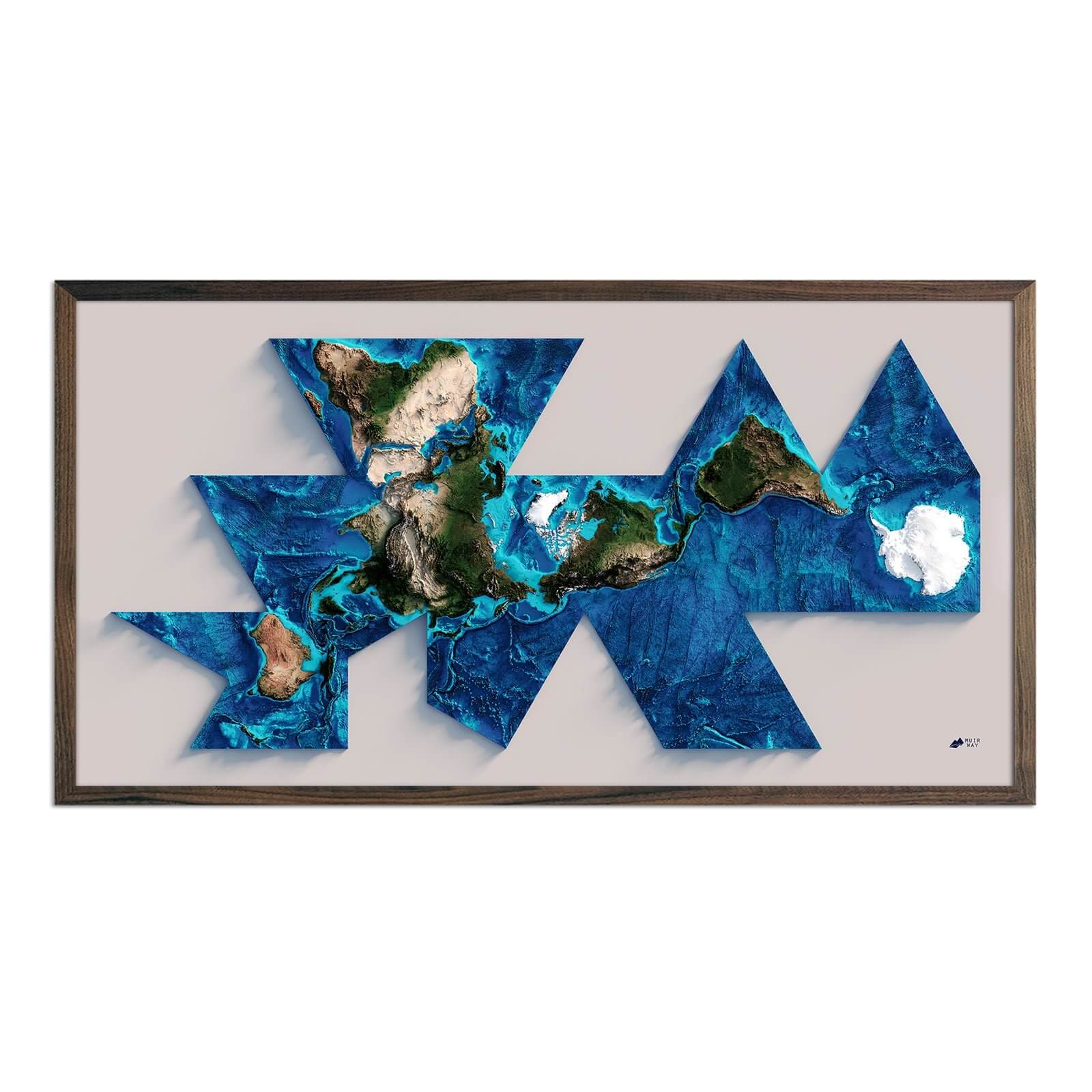
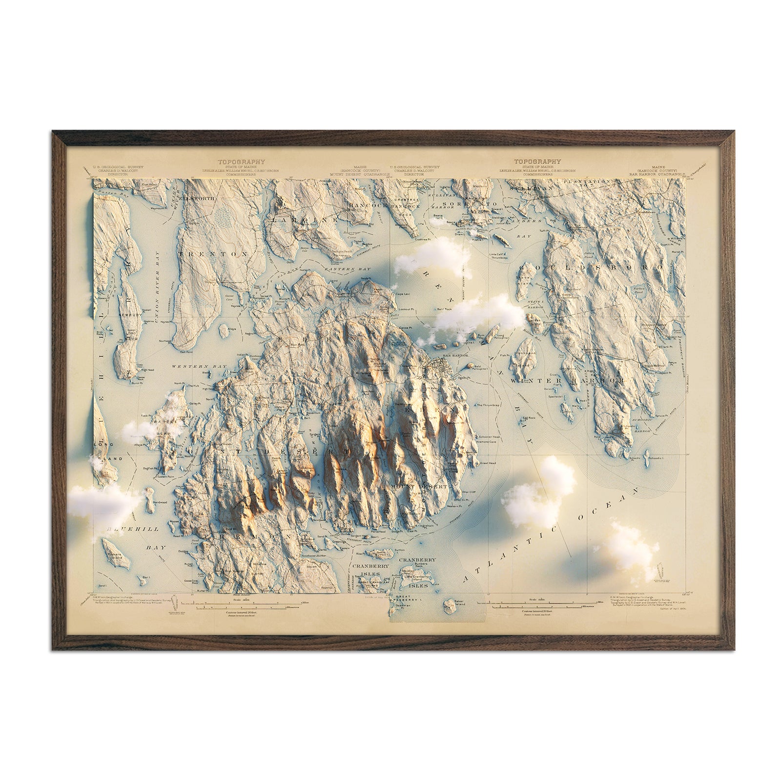
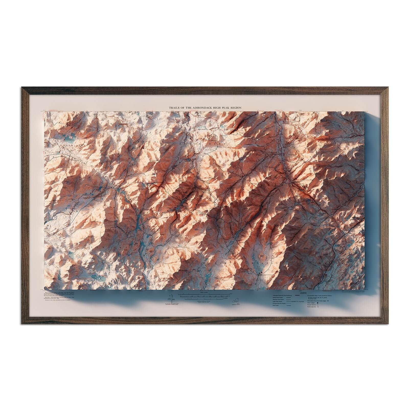
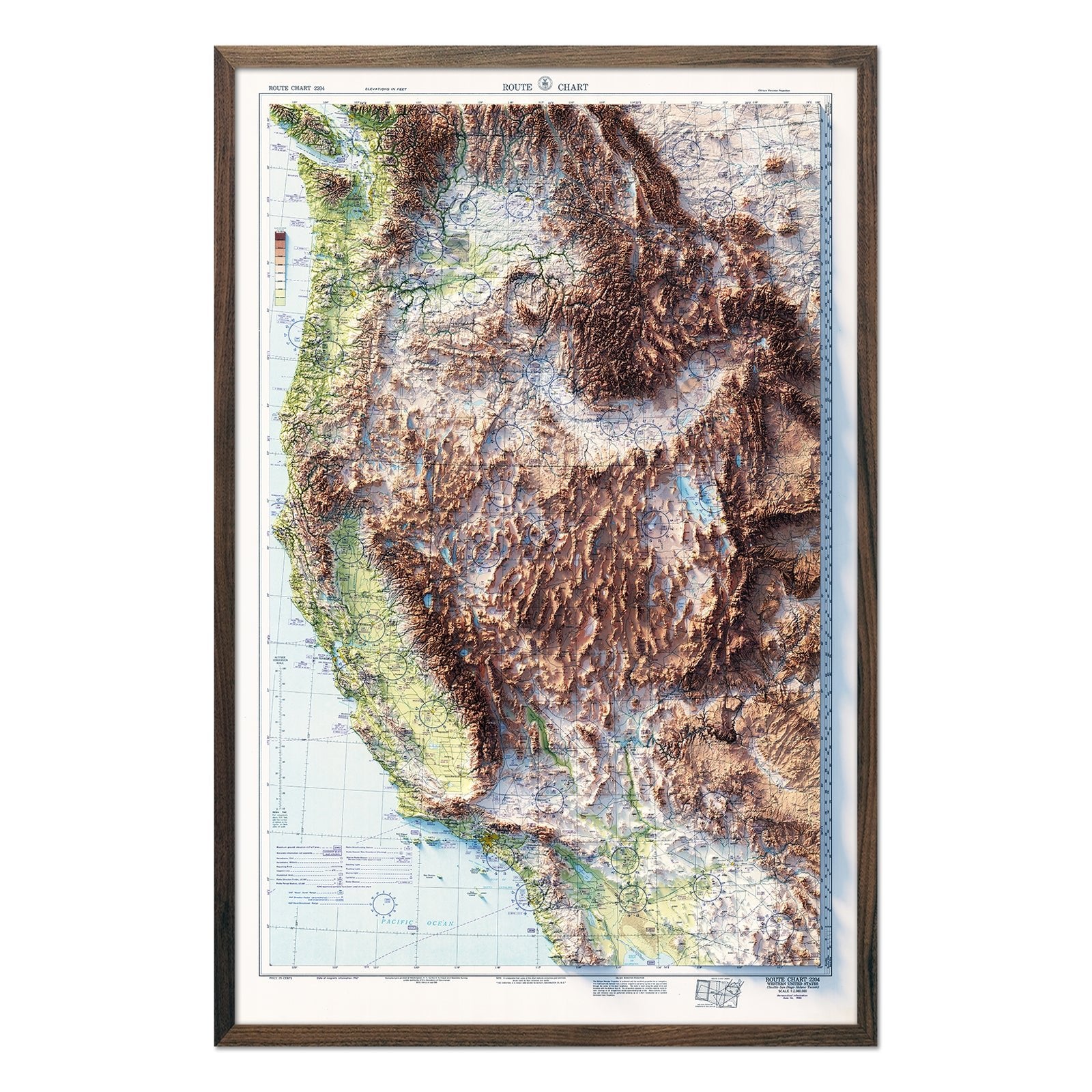
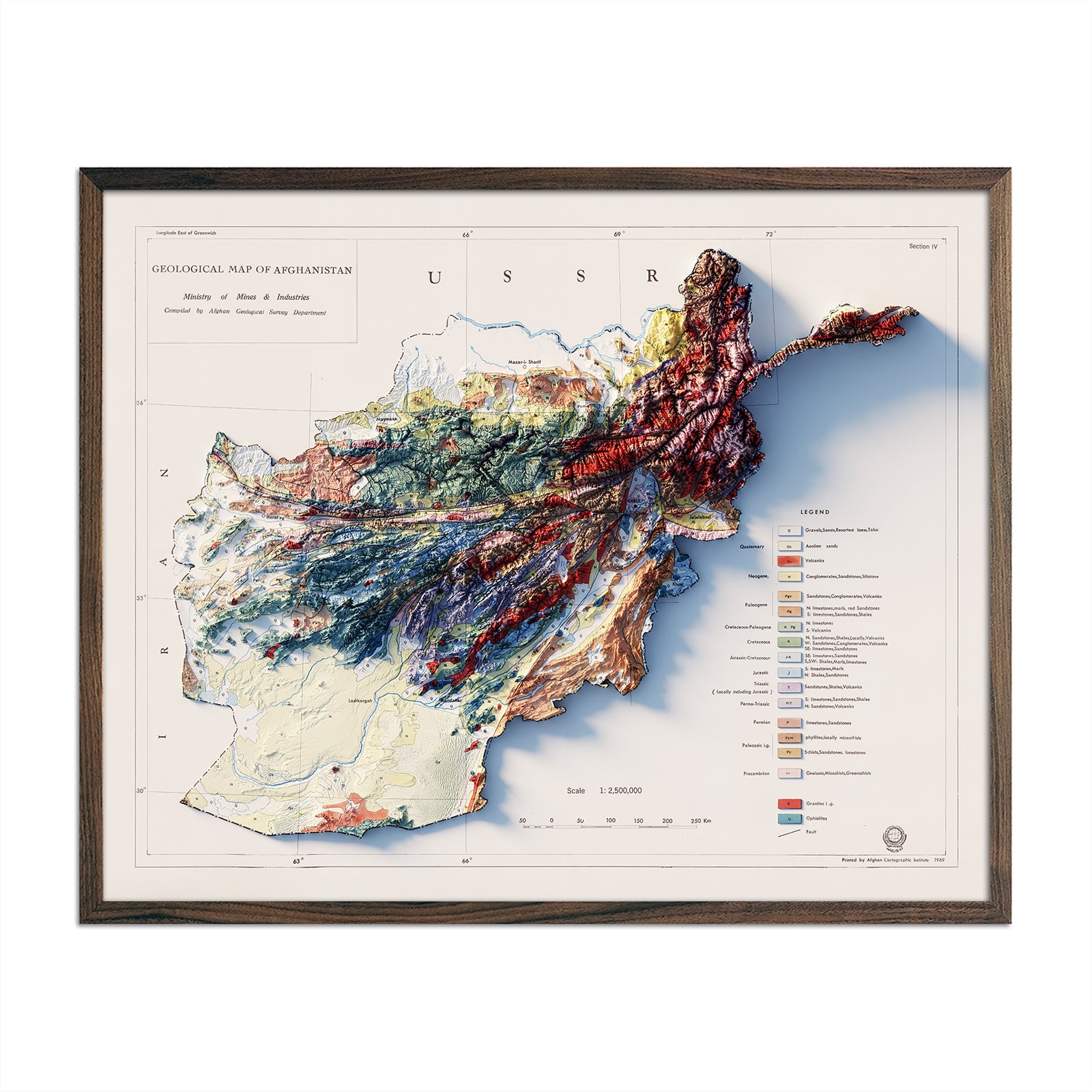

Printed on paper
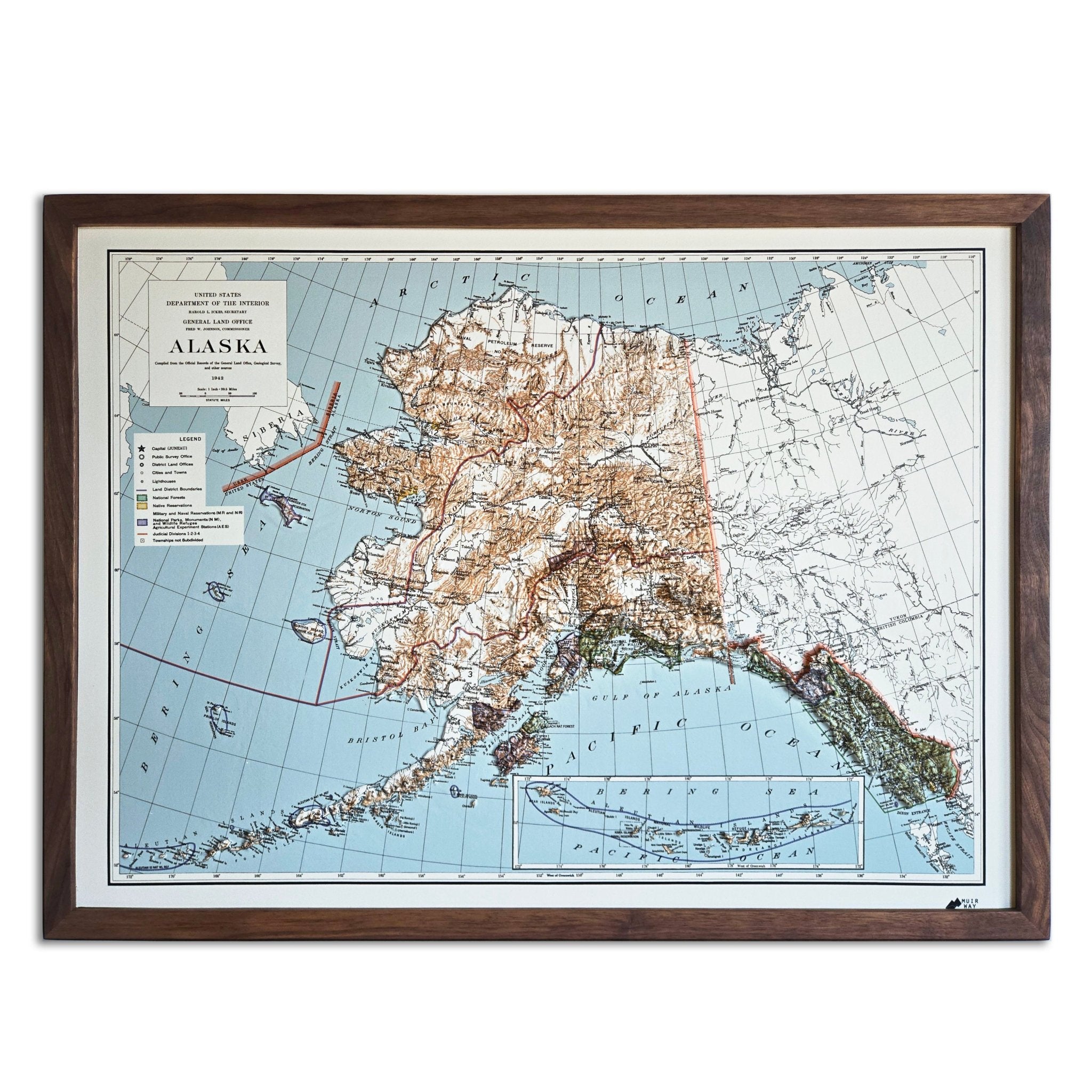
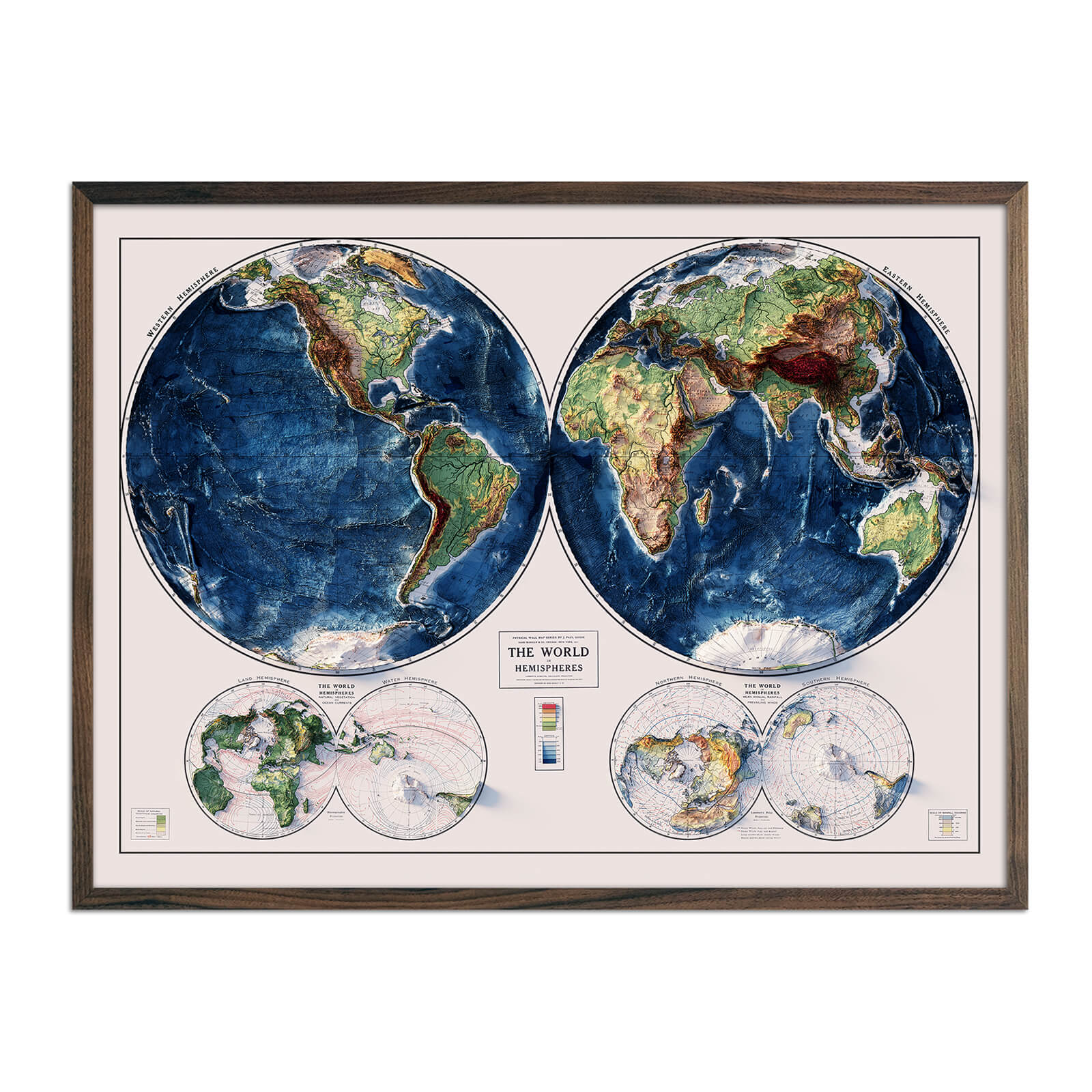
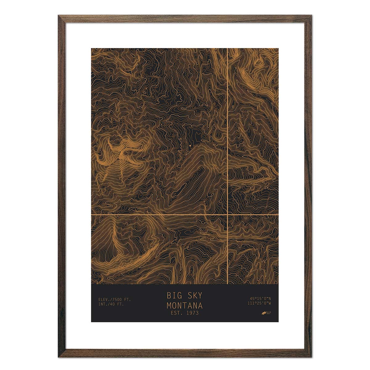
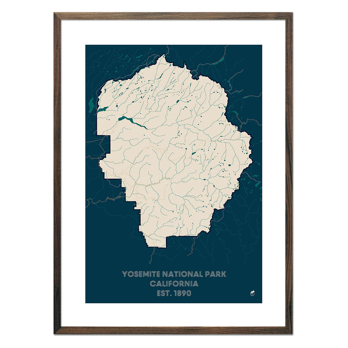
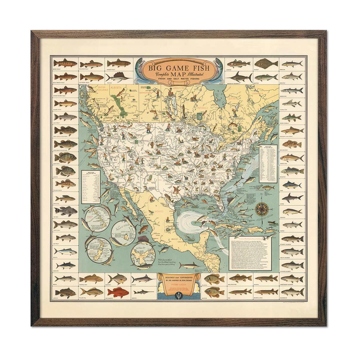
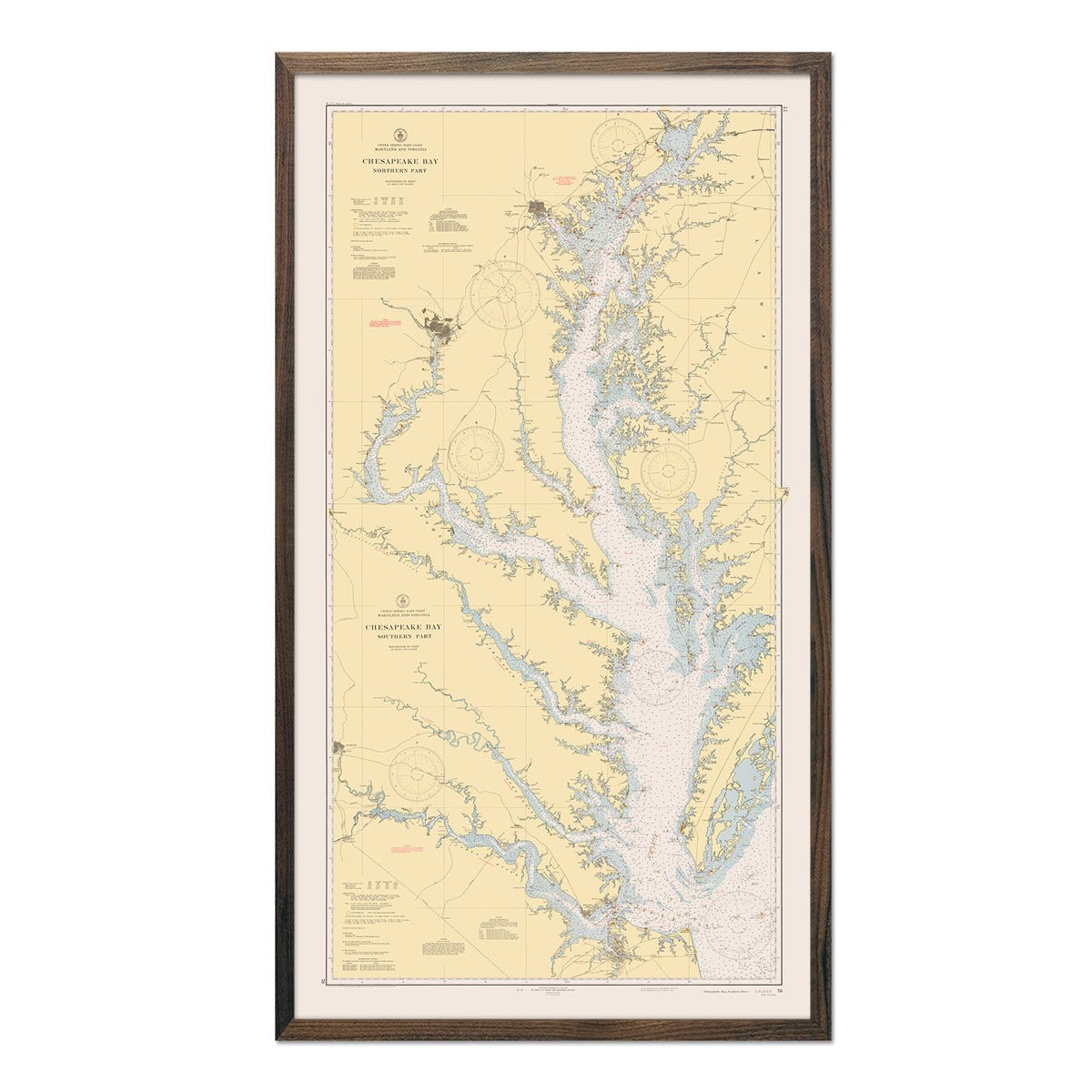
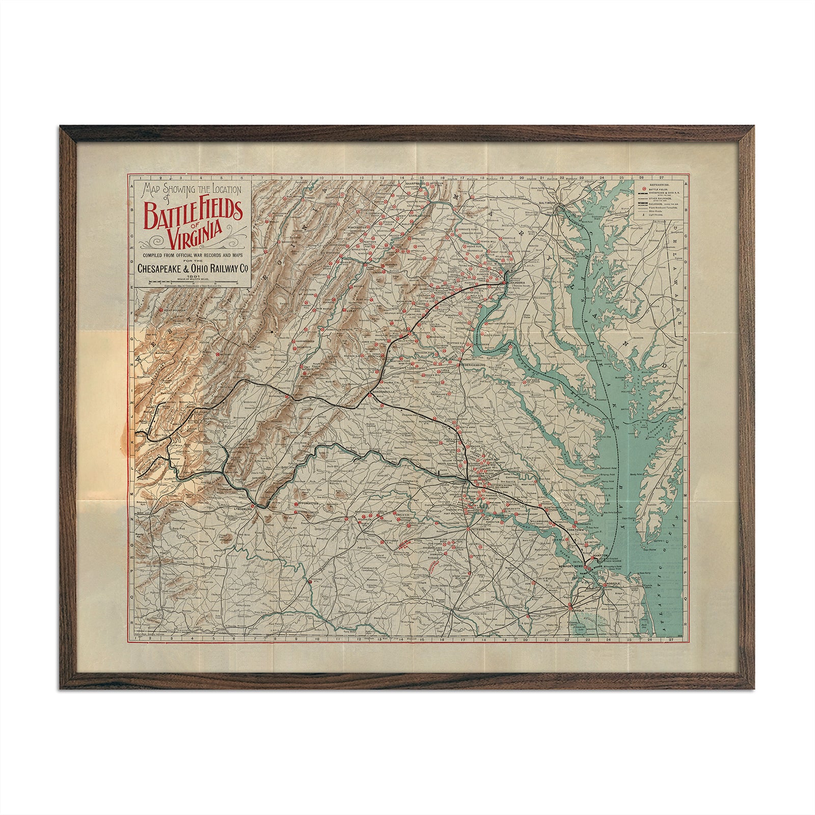
Vintage maps, reimagined with modern shaded relief

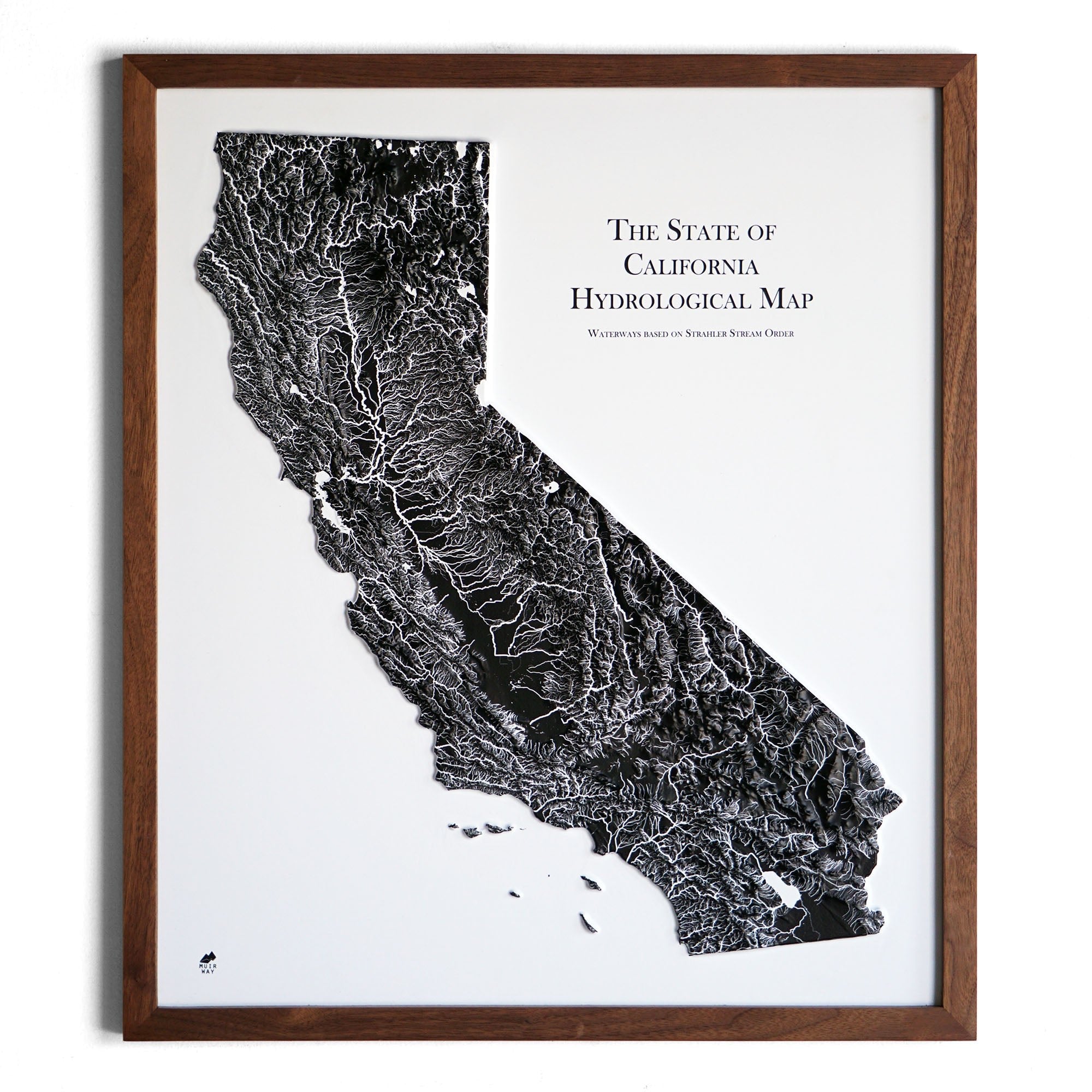
Raised terrain you can feel
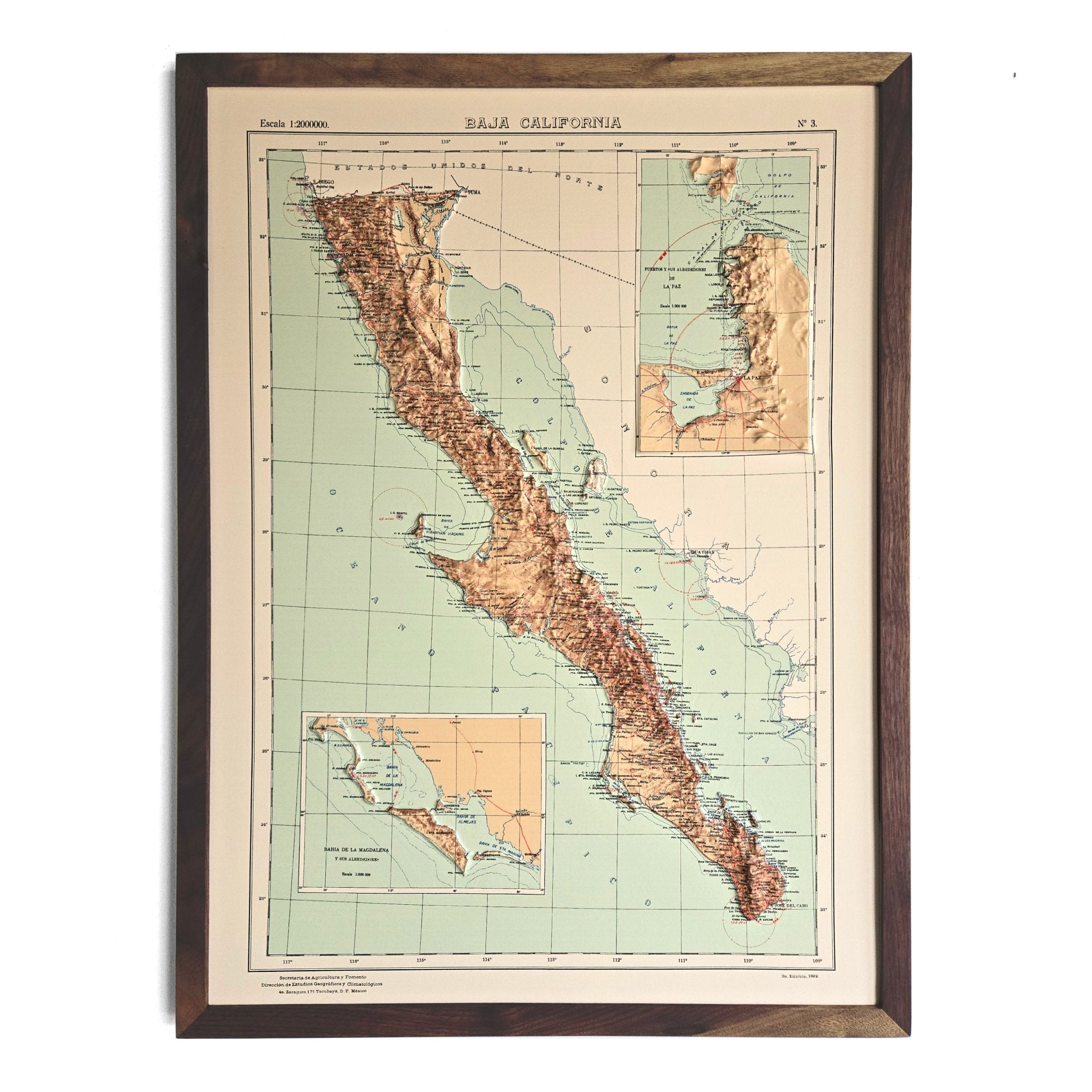
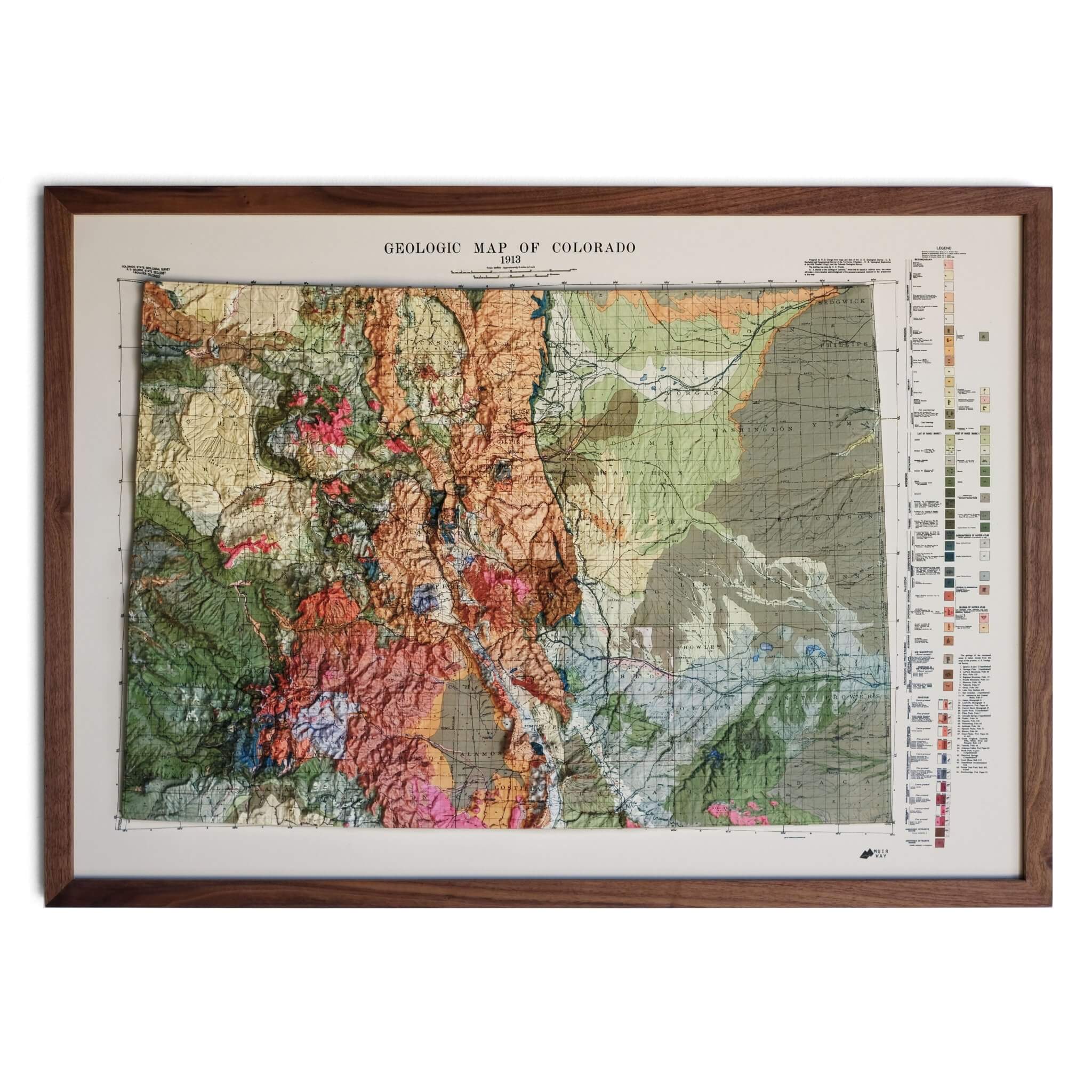
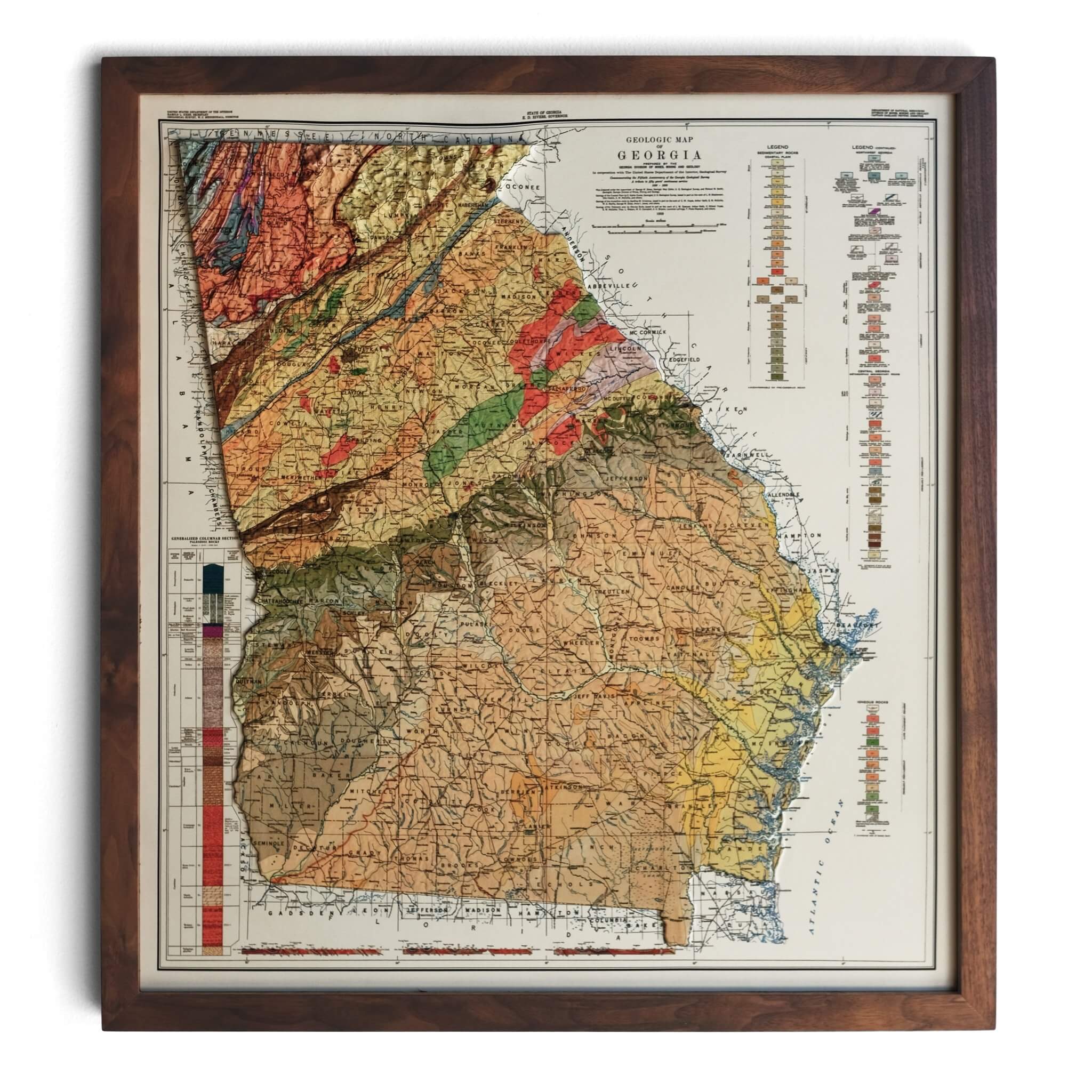
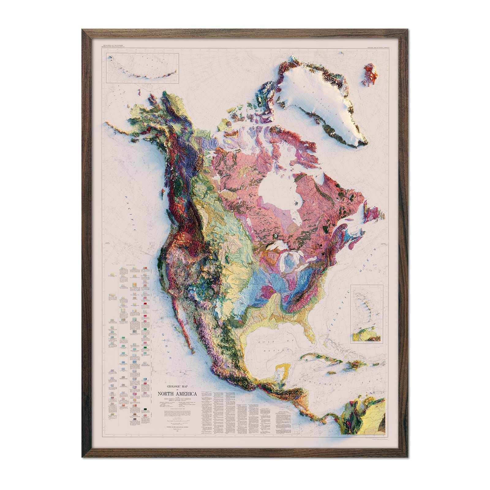
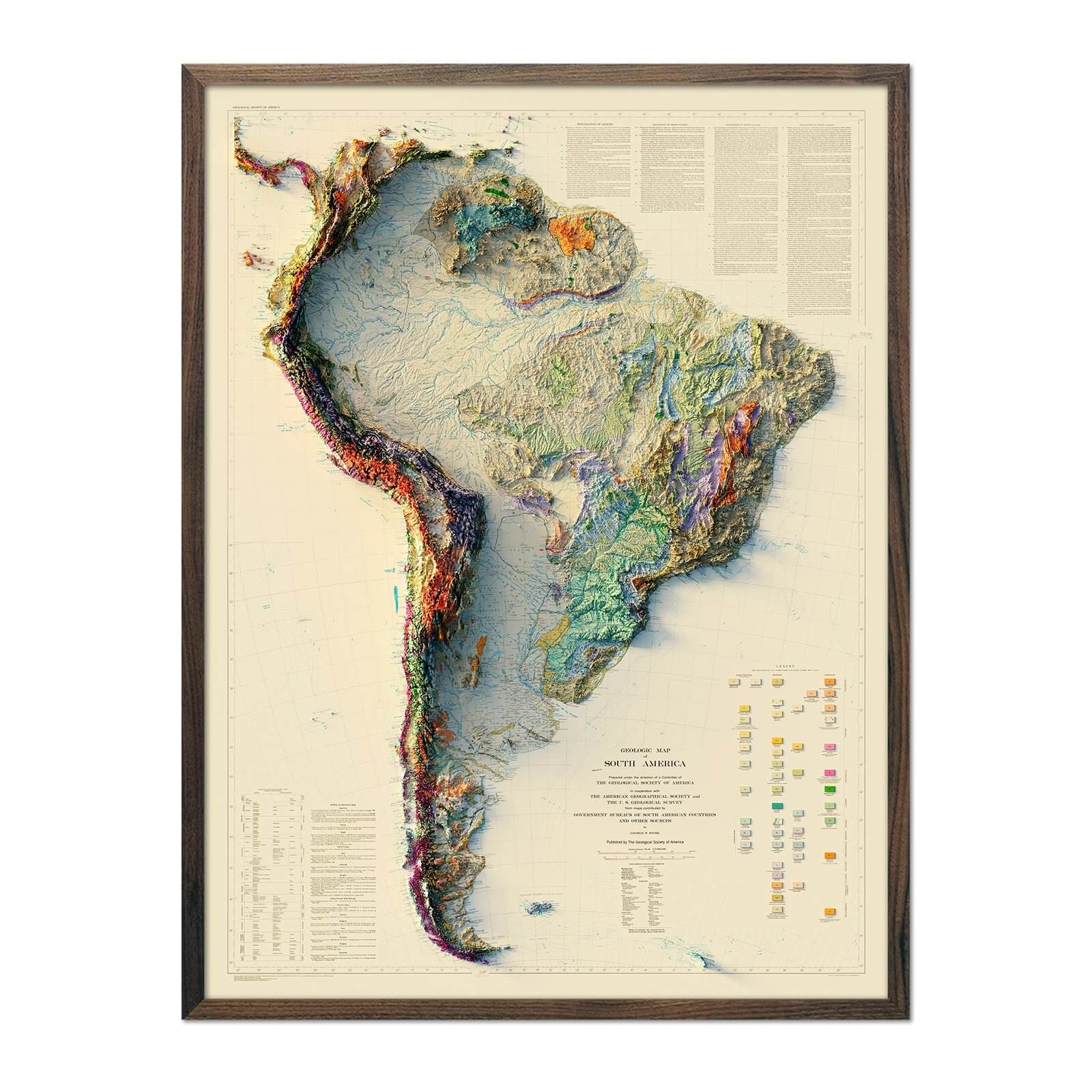
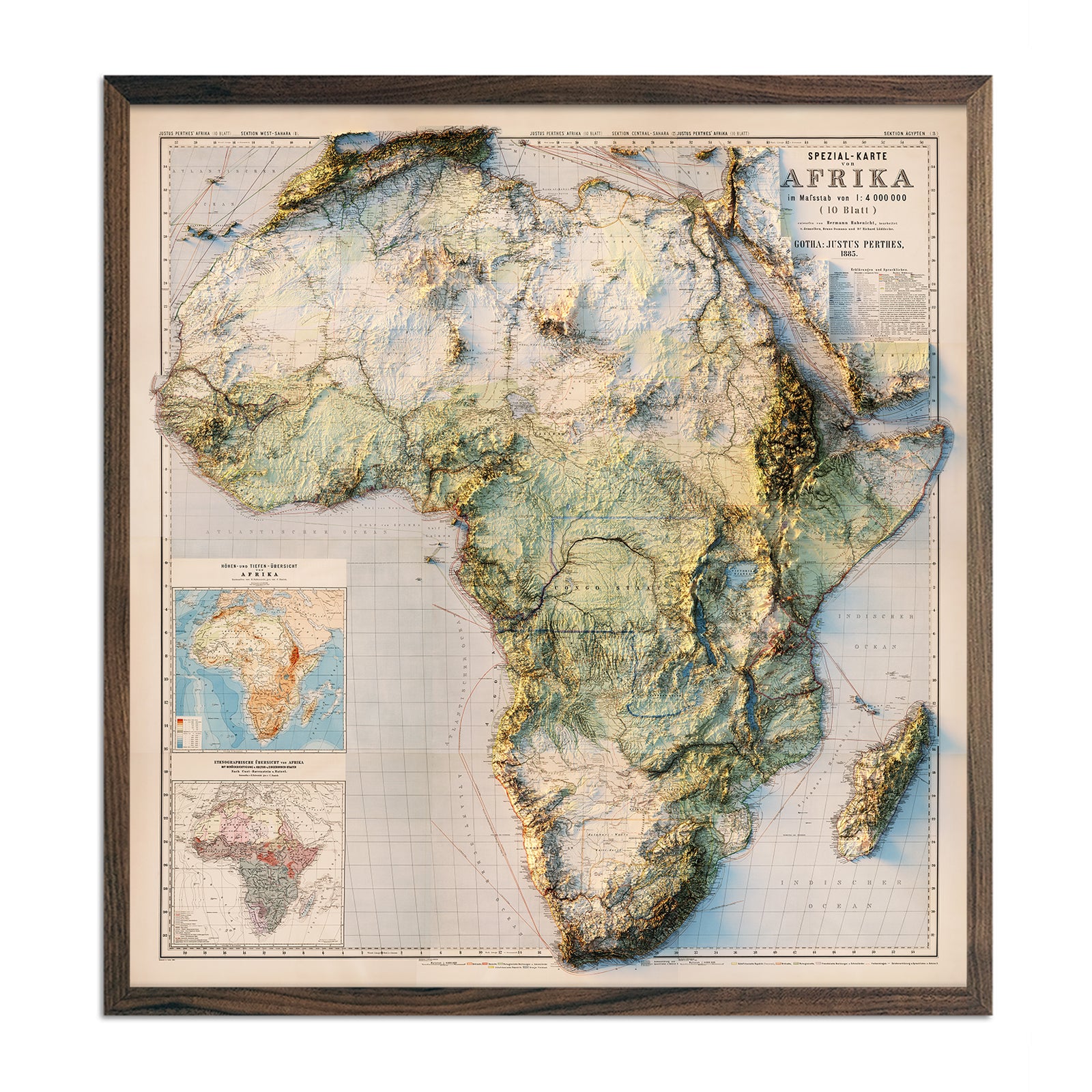
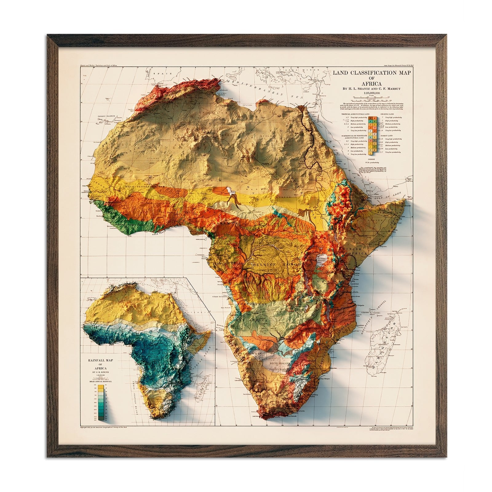
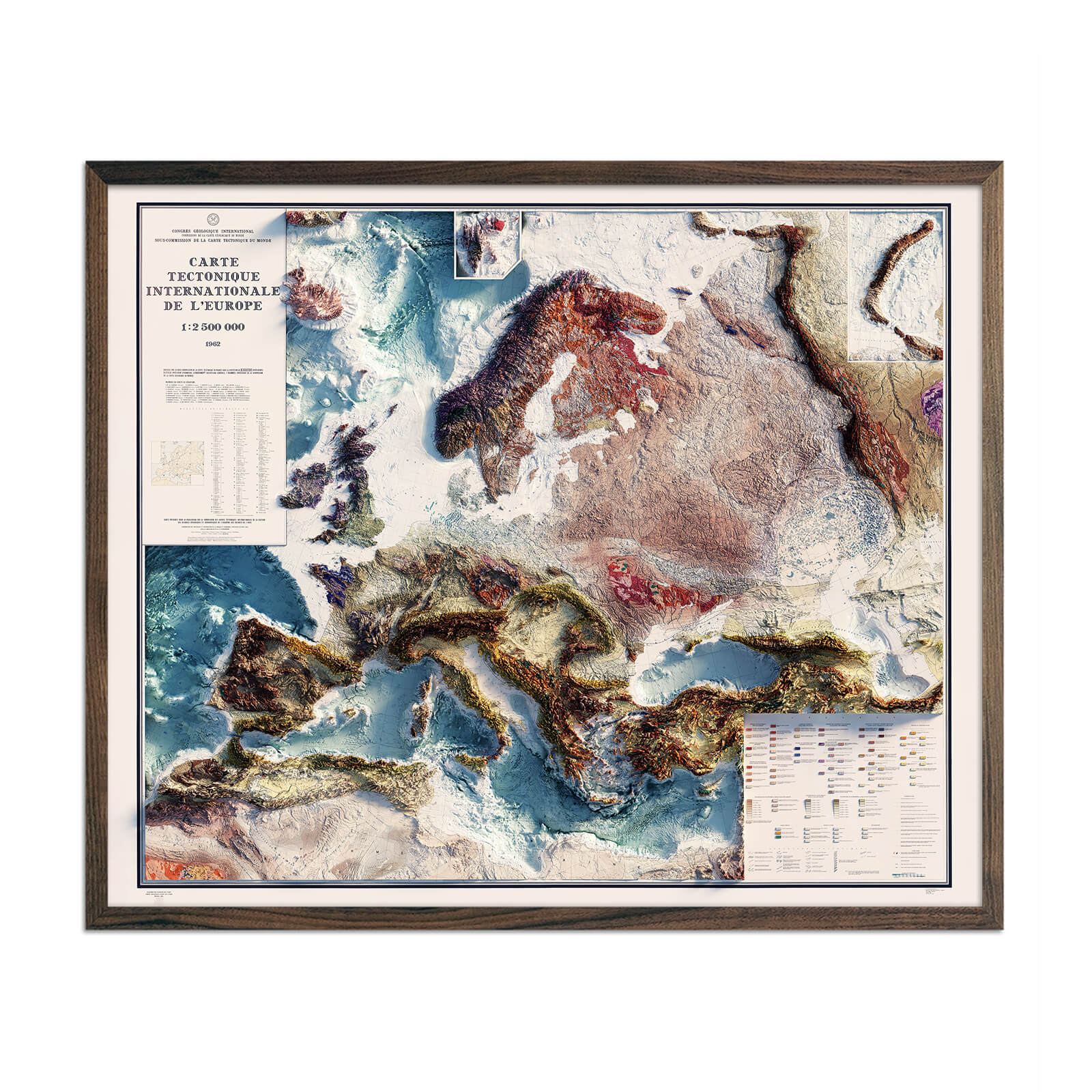
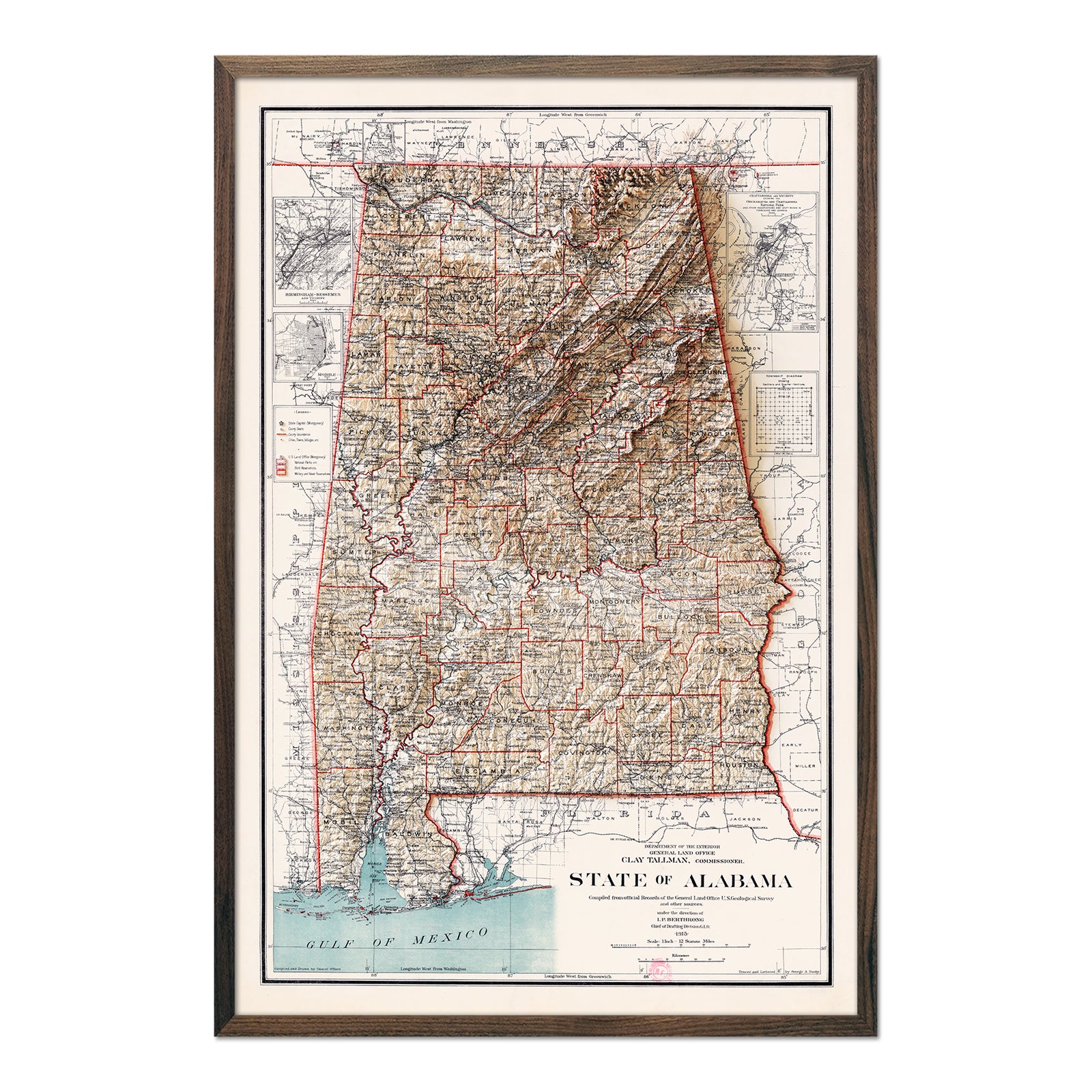
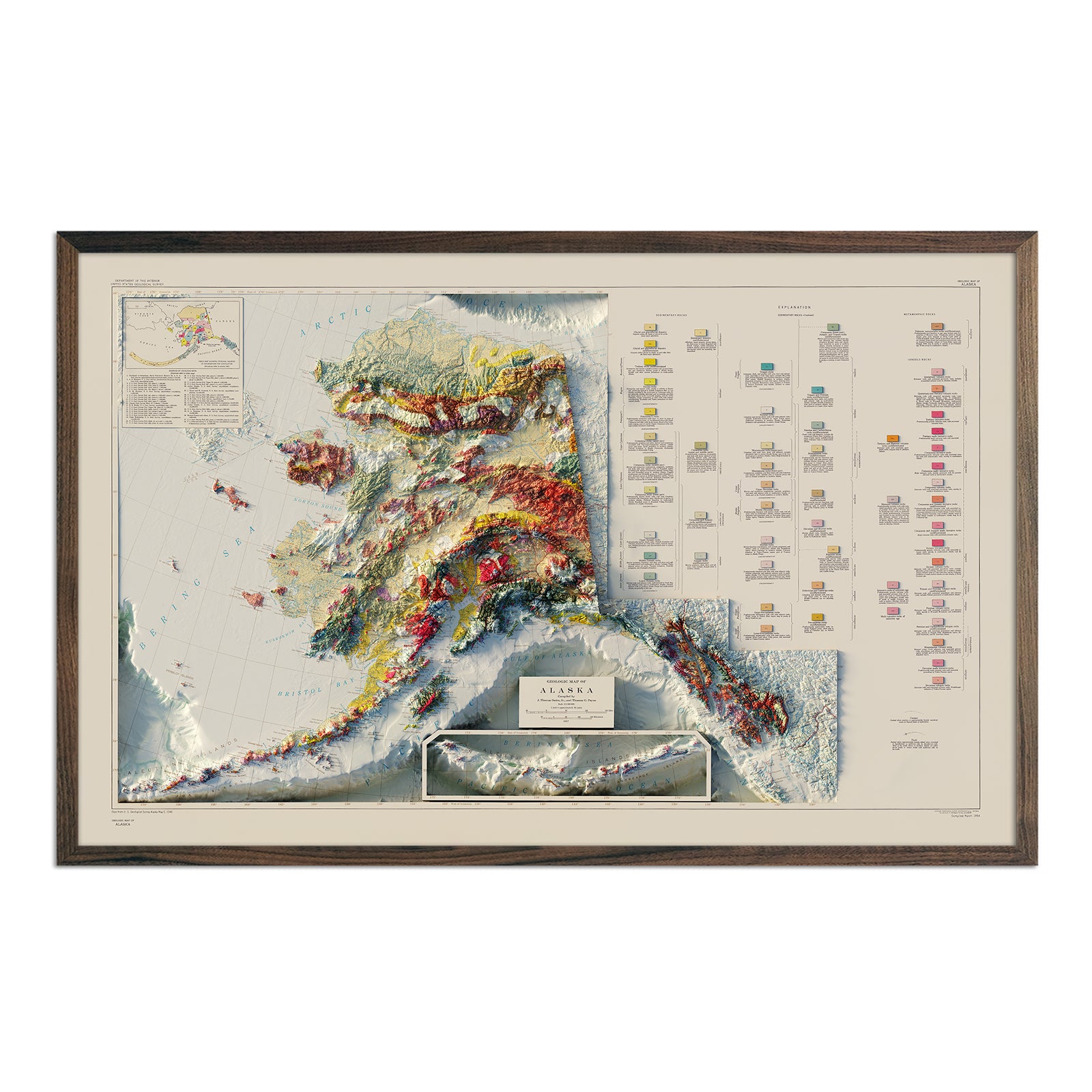
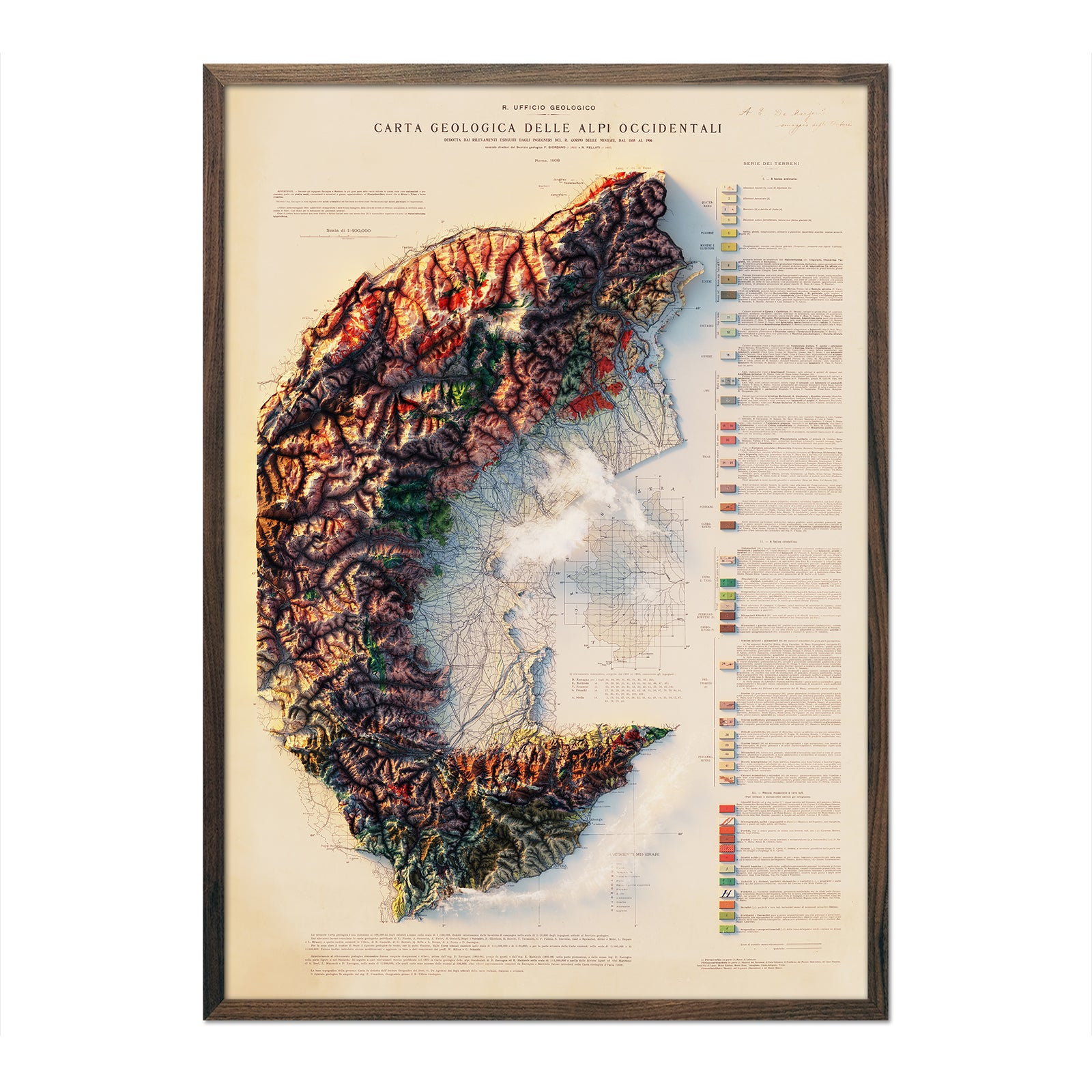
Vintage maps, shaped to the actual terrain
Real 3D, handcrafted
Carved by hand, never printed
Made in the USA
San Diego, California
Free shipping over $49
30-day returns on prints
Every map gives back
Sierra Club, Leave No Trace


More Map Collections


Every Map Gives Back
We believe that preserving our environment and natural resources will create a brighter future for all. That’s why a portion of every sale goes directly to supporting organizations helping to protect our land, water and air from human impact.
