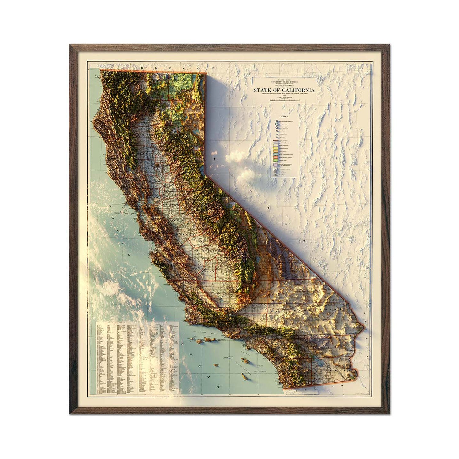
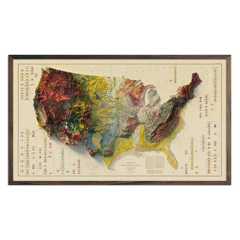
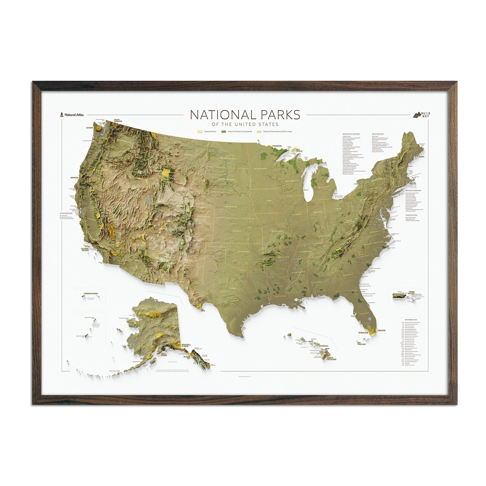
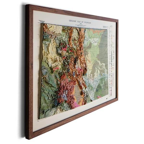
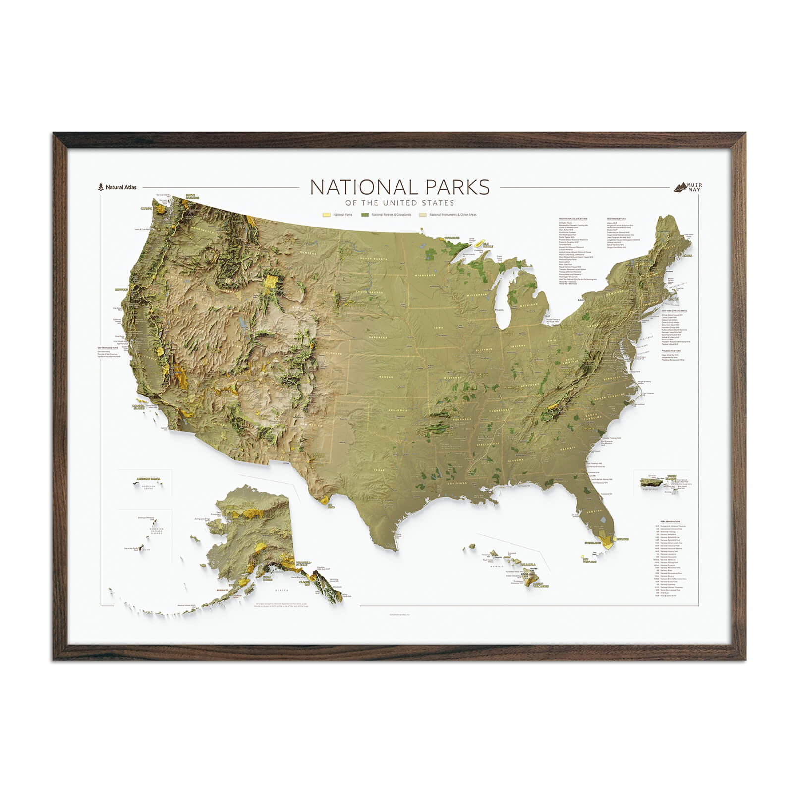
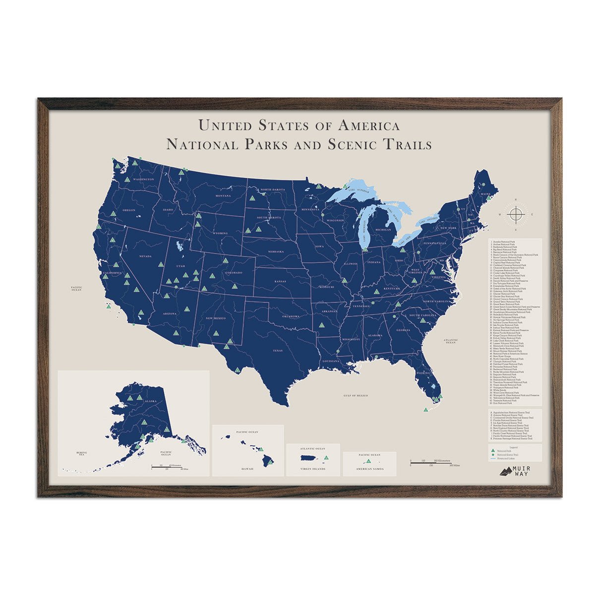
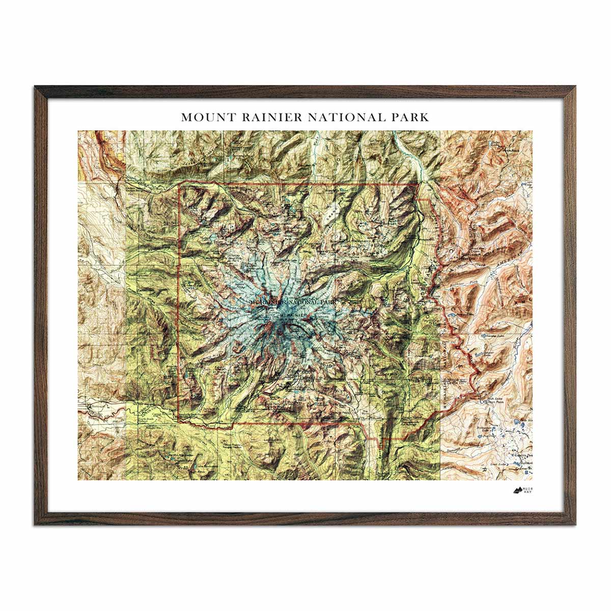
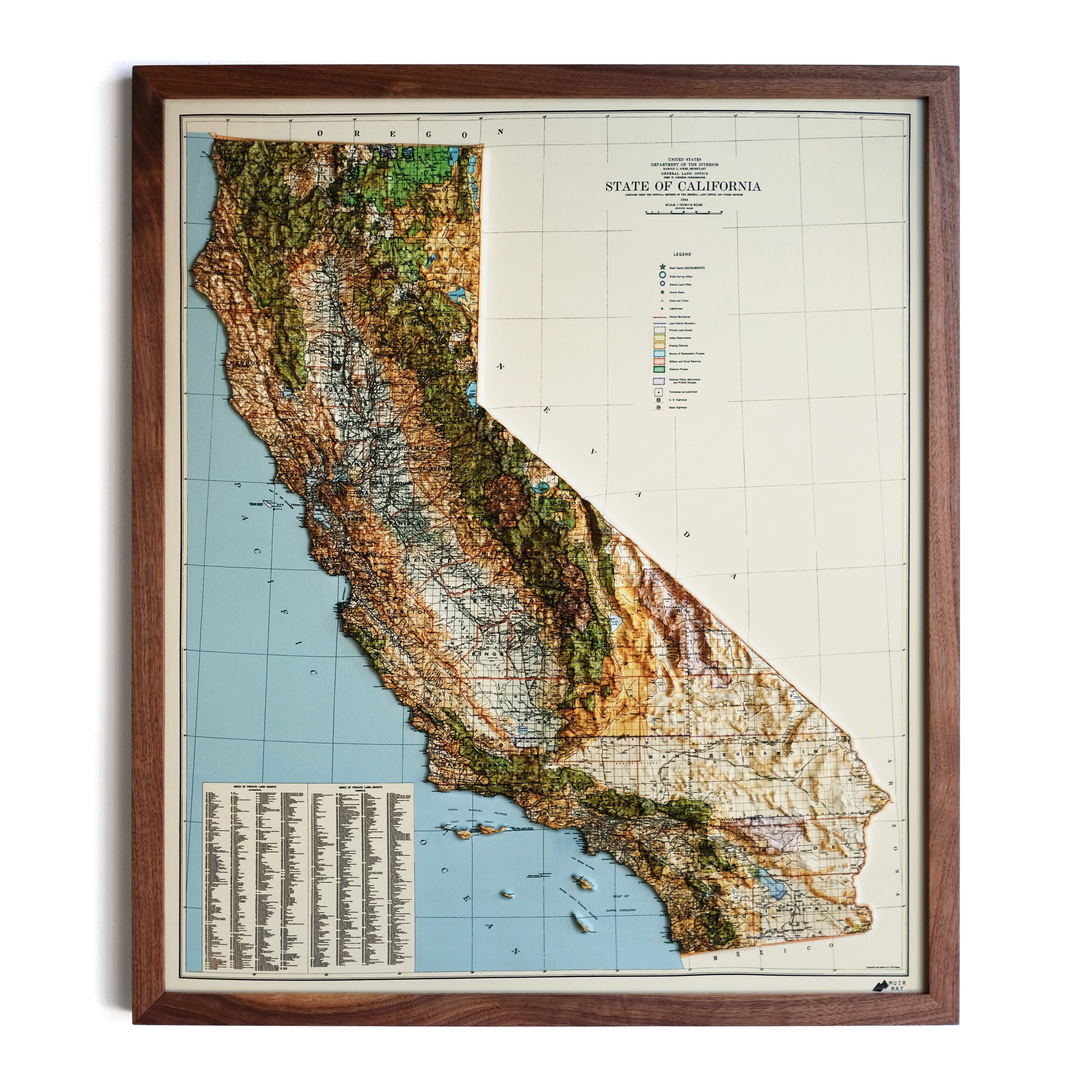
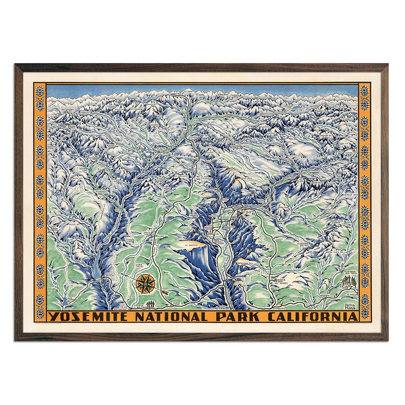
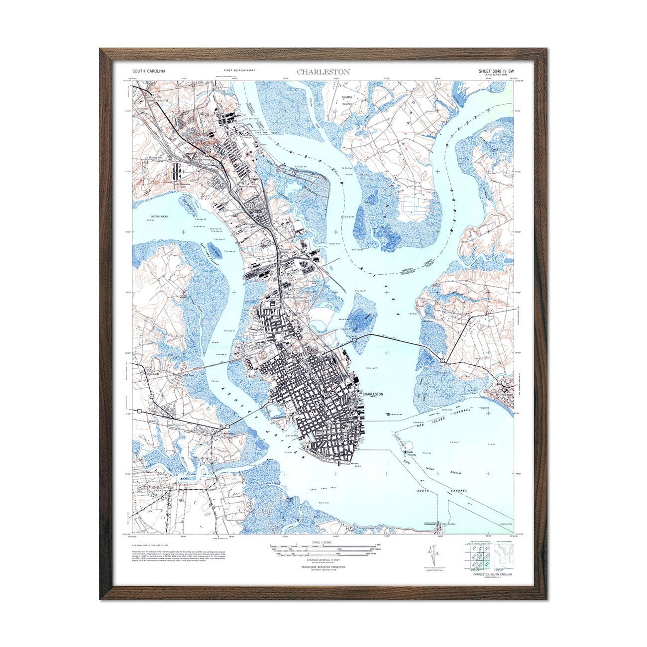
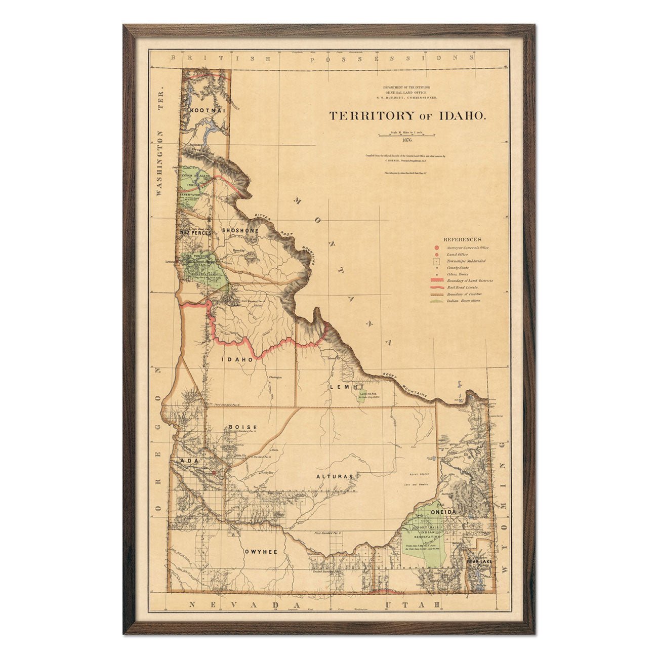
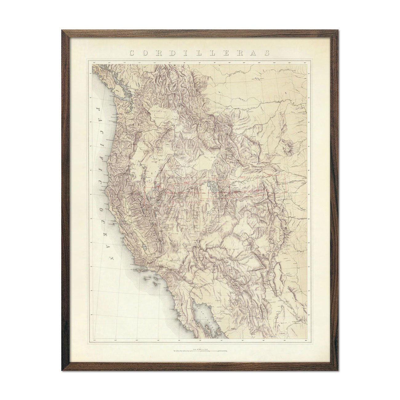
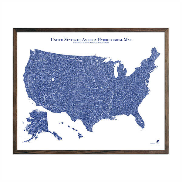
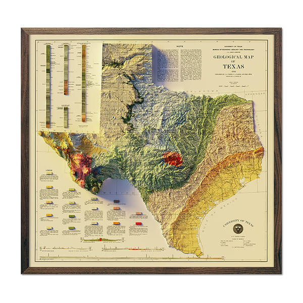
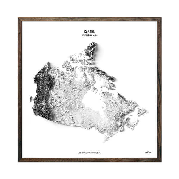
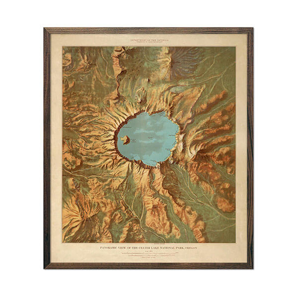
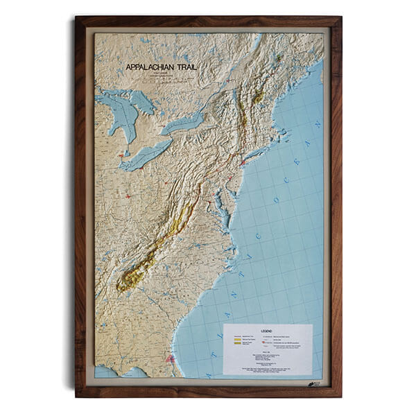
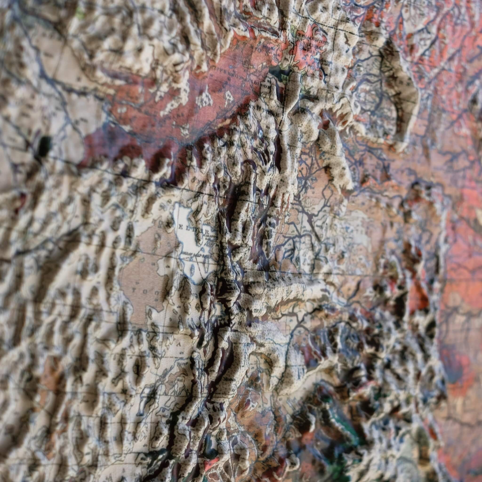
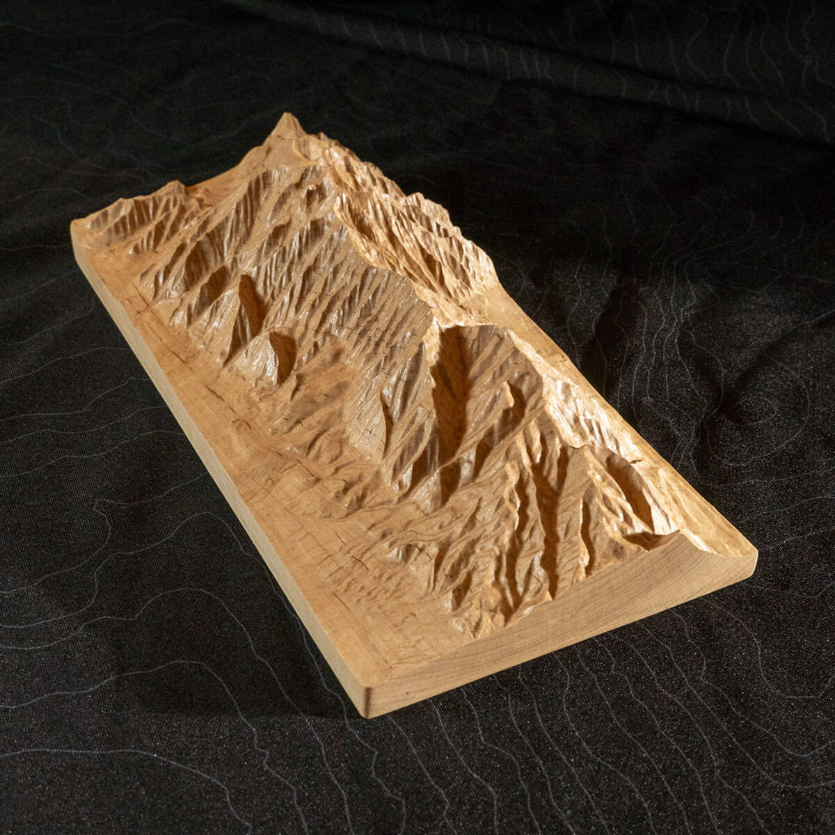
Real raised relief to explore through touch and feel.
- Size - unframed 30x22 inches
- Size - framed 31x23 inches
- Material - plastic mounted on foamboard
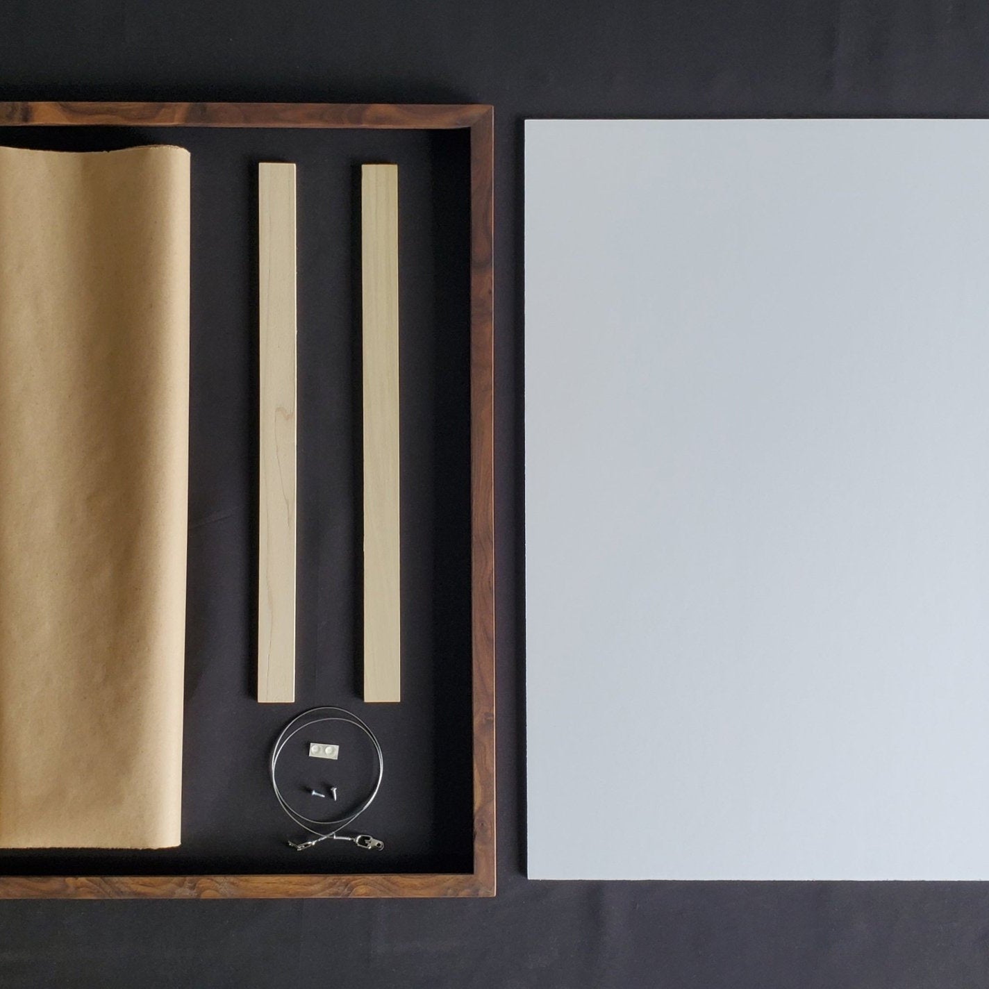
- Handmade real Walnut frame available
- Individually made in our San Diego, CA shop
A geologic map's colors are chosen for information, each one marking a different rock formation by age and type, but the Ouachita Mountains turn that information into one of the more striking geologic maps in our collection: tight, parallel bands of color ripple across the page exactly where ancient mountain-building folded the rock into place, a washboard rendered in paint.
Arkansas's Geological Survey, first established in 1887 and permanently reestablished in 1923, has spent decades tracing those folded ridges and the layered Ozark Plateau captured on this 1993 map. That same geology is responsible for one of the only diamond-bearing sites in the world open to the public: Crater of Diamonds State Park, where visitors have been free, since the park's founding in 1972, to dig for diamonds and keep whatever they find.
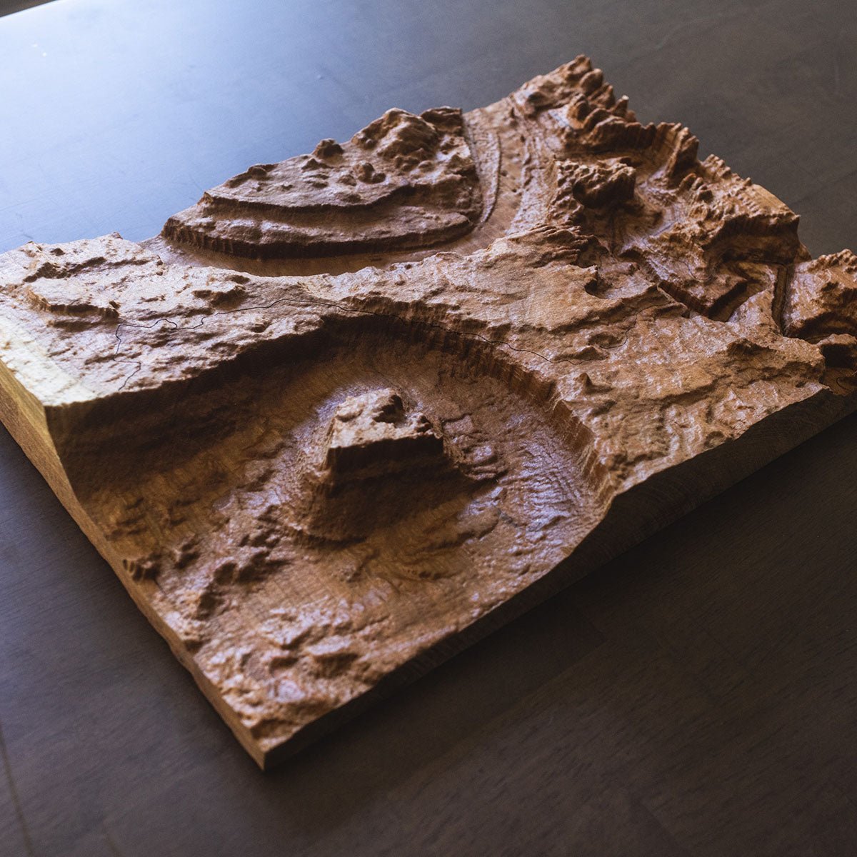
This unique map has undergone a meticulous process where it was printed, heated, and vacuum-formed over an intricately detailed 3D mold, an original creation from Muir Way. The result is a map that allows you to visually and tactilely explore the state's diverse terrain, from the Ozark and Ouachita Mountains to the lowlands along the Mississippi River.
Framed maps do not have glass or acrylic over them, so you can touch the map and explore its intricacies.
PLEASE NOTE
You will love this map if you embrace its anomalies. When the plastic is heated and stretched over the 3D mold, the image may be altered, causing warped lines and text around higher elevations. The fine print on plastic is not as sharp as on paper, sometimes rendering very small text illegible.