Real raised relief to explore through touch and feel.
- Size - unframed 34x24 inches
- Size - framed 35x25 inches
- Material - plastic mounted on foamboard
- Handmade real Walnut frame available
- Individually made in our San Diego, CA shop
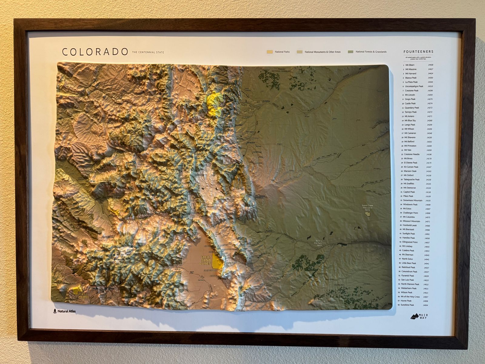
Colorado is home to 58 named peaks above 14,000 feet — more fourteeners than any other state — anchored by Mount Elbert, the highest point in the Rocky Mountains at 14,438 feet. This 3D Raised Relief map, an original creation from Muir Way in collaboration with Natural Atlas, renders every one of those summits in true raised topography alongside the ski resorts, national parks, forests, and trails that make Colorado's high country one of the most explored landscapes in America.
This Colorado state map features:
- Peaks over 14,000 ft
- Ski resorts
- National Parks
- National Monuments
- National Forests and Grasslands
- Colorado and Continental Divide Trails
- Rivers
- Cities and Towns
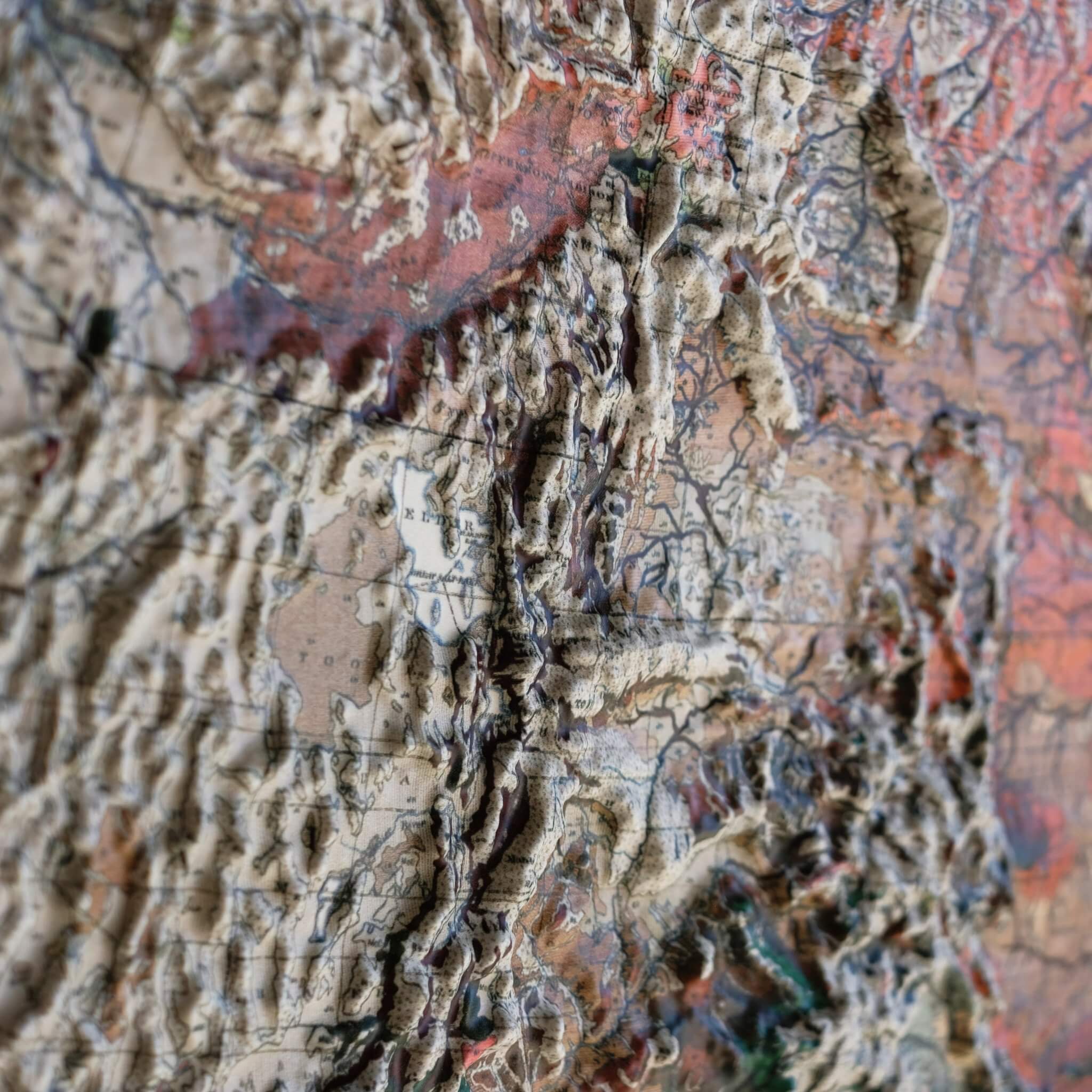
Our 3D raised relief map undergoes a meticulous process where it is printed, heated, and vacuum-formed over an intricately detailed 3D mold. The result is a map that allows you to visually and tactilely explore the state.
Framed maps do not have glass or acrylic over them, so you can touch the map and explore its intricacies.
PLEASE NOTE
You will love this map if you embrace its anomalies. When the plastic is heated and stretched over the 3D mold, the image may be altered, causing warped lines and text around higher elevations.