Shop Michigan Relief Maps | Elevation & Hydrological Maps - Muir Way

Free Shipping on orders over $49

Michigan Maps

Michigan Map Prints, Elevation & Shaded Relief Maps

Whether you’re from Michigan, like to visit there with family, or if Michigan and its beautiful lakes and mountains hold a place in your heart, our Michigan wall maps bring the beauty of the Great Lake State to any home or office. From our stunning elevation maps and geological relief maps to our meticulously restored historical maps, every product we offer reflects the high quality and attention to detail our customers have come to love and expect from Muir Way.

What makes Muir Way maps of Michigan unique?

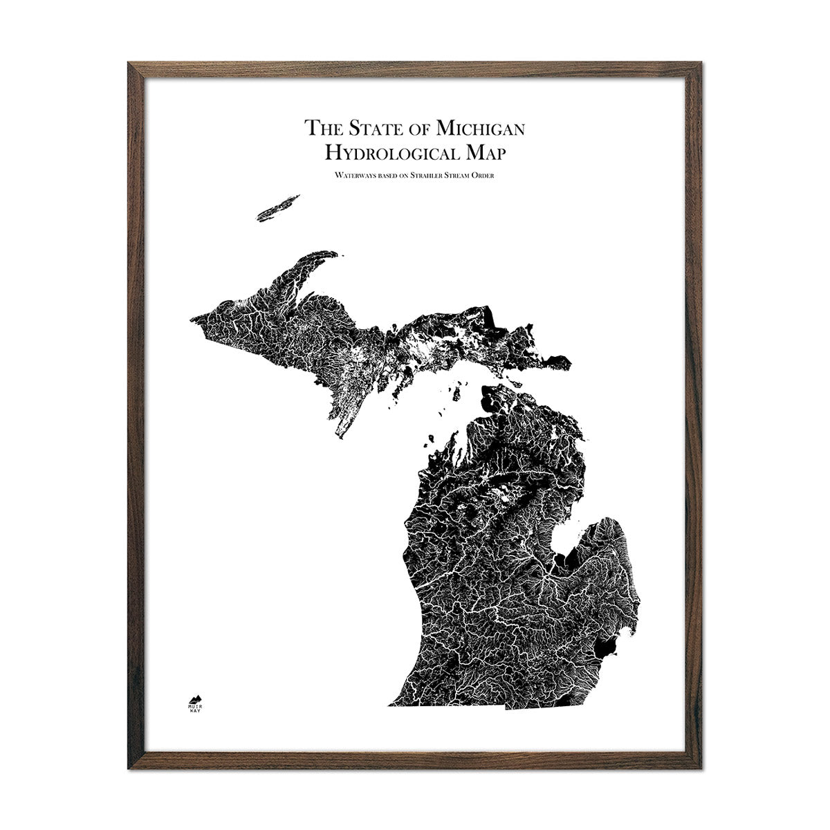
When you purchase a Michigan wall map from Muir Way, you are not getting a rolled up glossy poster. We custom print every Michigan map using archival inks and fine art paper certified to last 100 years, and the artwork of our maps is designed to bring new light to the beautiful terrain they feature. Our elevation maps add shaded relief to imagery enhanced with Digital Elevation Data for a stunning 3D effect on a flat surface, and our hydrological maps depict every river in the state--even intermittent streams--and every body of water over 0.2 miles in diameter in crisp detail.

Can I get my Michigan map framed?

Yes! Many of our Michigan maps are available on both fine art paper and beautiful gallery-wrapped canvas, and all Michigan maps are available professionally custom-framed with real wood. If you’d like to purchase your Michigan artwork framed, you can choose from several different colors and wood finishes to perfectly match your décor. If you’d prefer to use your own frame, that’s not a problem. All of our maps come in standard frameable sizes for easy gift giving and unframed maps are shipped with care for you to frame at home.

Is a Muir Way map of Michigan a good gift idea?

A Michigan map from Muir Way makes a really thoughtful, unique gift for any number of special occasions (or just because!). Our custom-printed maps make a memorable gift choice for holidays, anniversaries, or as a thank-you gift for someone special. We see our thousands of happy customer reviews as a testament to the quality we stand by when you purchase one of our maps as a gift. A Michigan wall map from Muir Way makes an ideal gift for outdoor enthusiasts or those who have visited the Great Lakes, but can also be a perfect graduation gift for a student about to leave home for the first time, or a reminder of home for someone whose home state is Michigan but who no longer lives there. Our maps also make stunning corporate gifts that leave a lasting impression on clients and colleagues.

How should I display my Michigan map?

Our maps are designed to offer crisp detail and great visual effect whether viewing up close or from across the room. Hang a framed wall map as a central focus above a mantel or sofa, or purchase several and arrange them near each other for a complementary series. Our hydrological maps come in several colors as well as classy black and white, and our geological relief maps feature brilliant colors. No matter which you choose, you’re sure to find a Michigan illustration that will look right at home.

What are the different types of maps of Michigan available on Muir Way?

Our Michigan maps are available in several different styles, including:

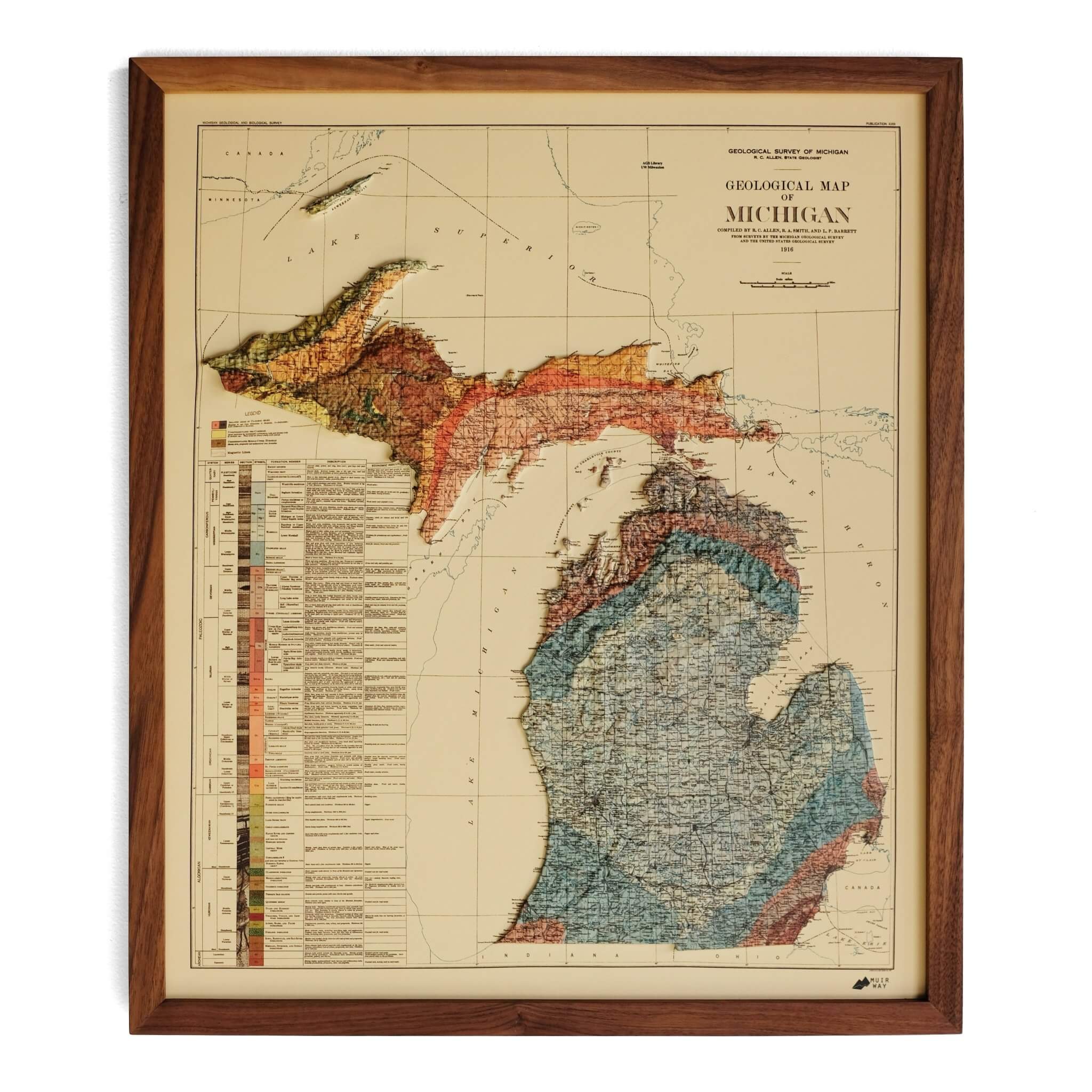
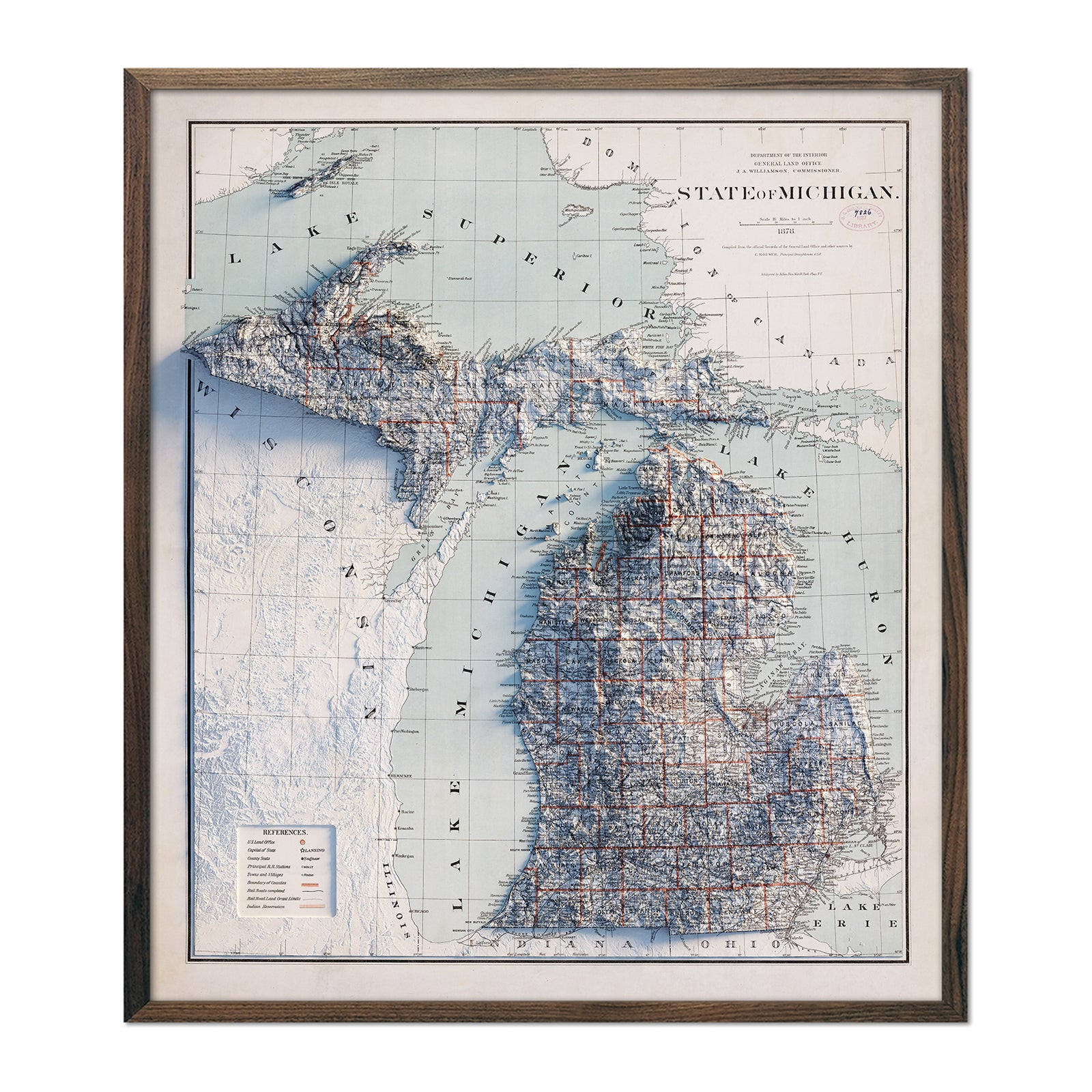
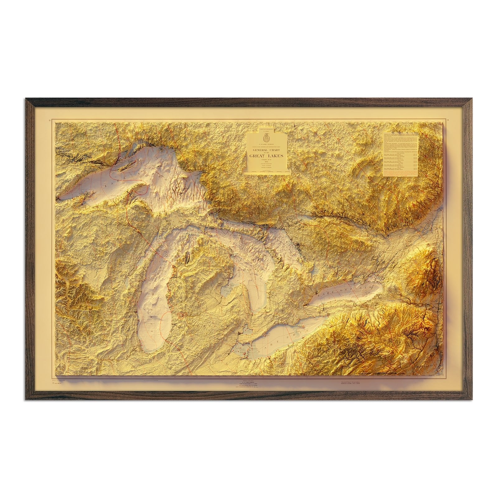
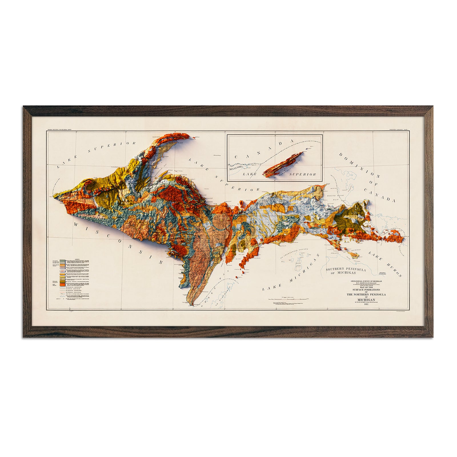
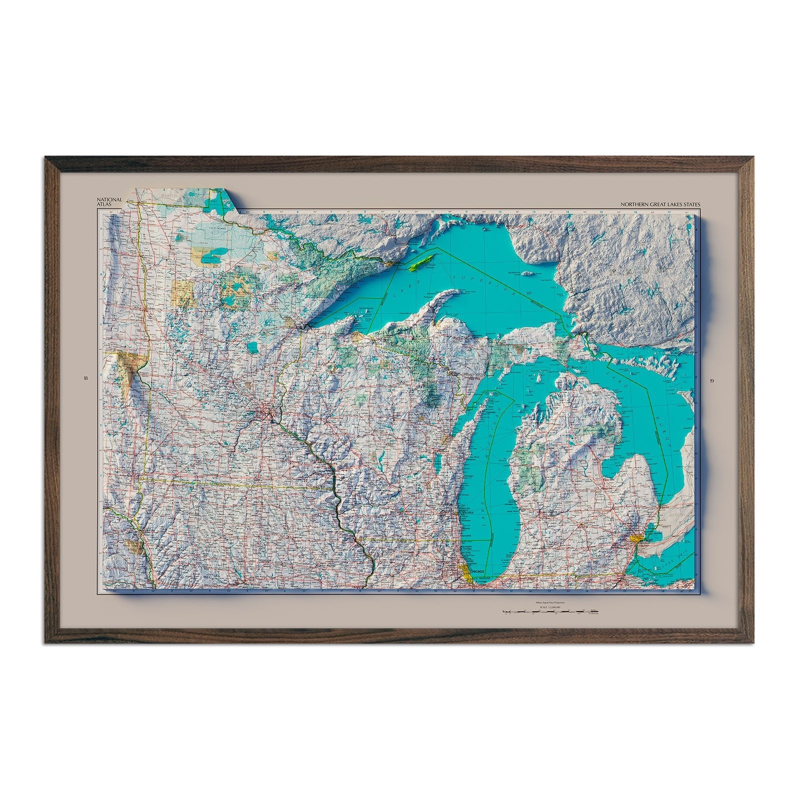
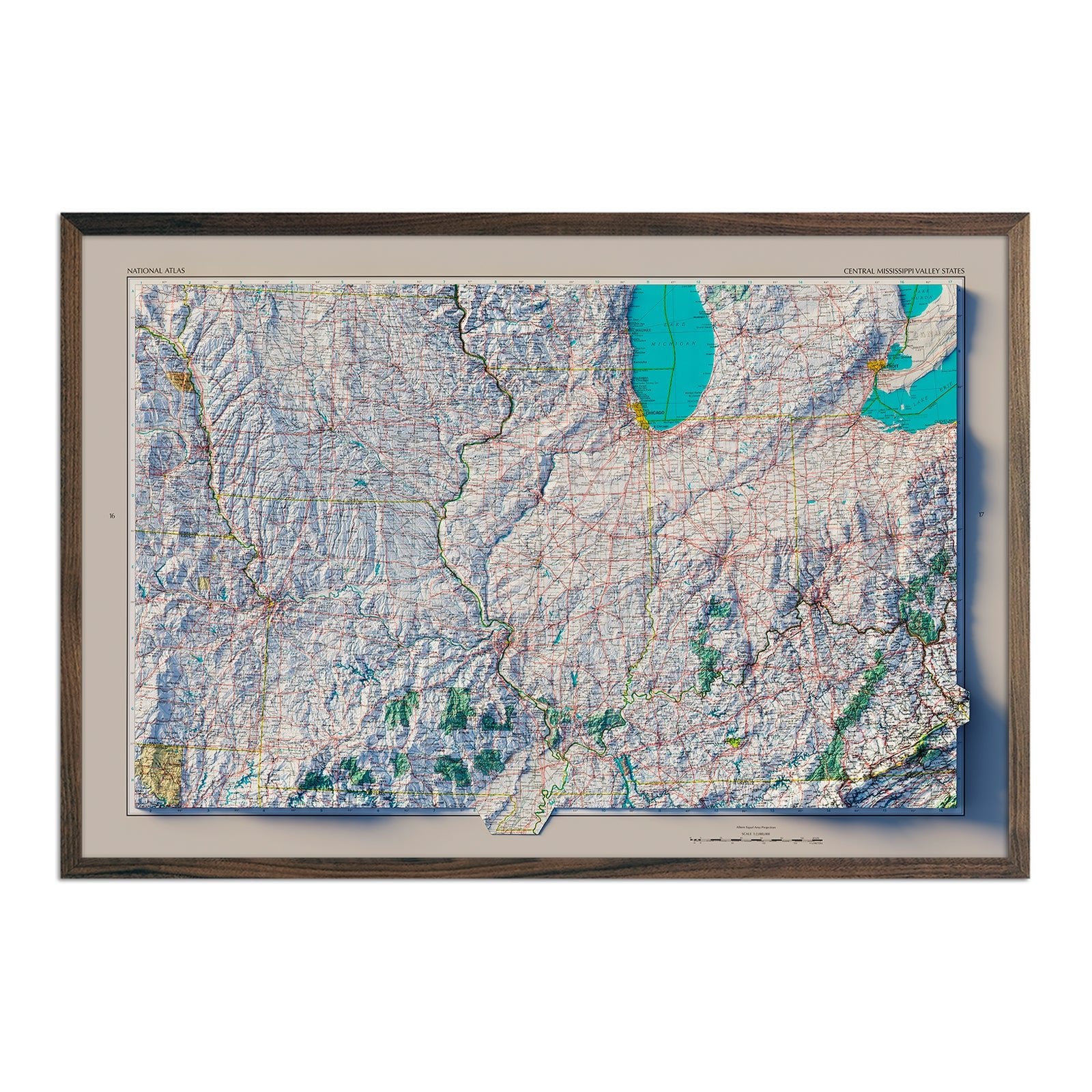
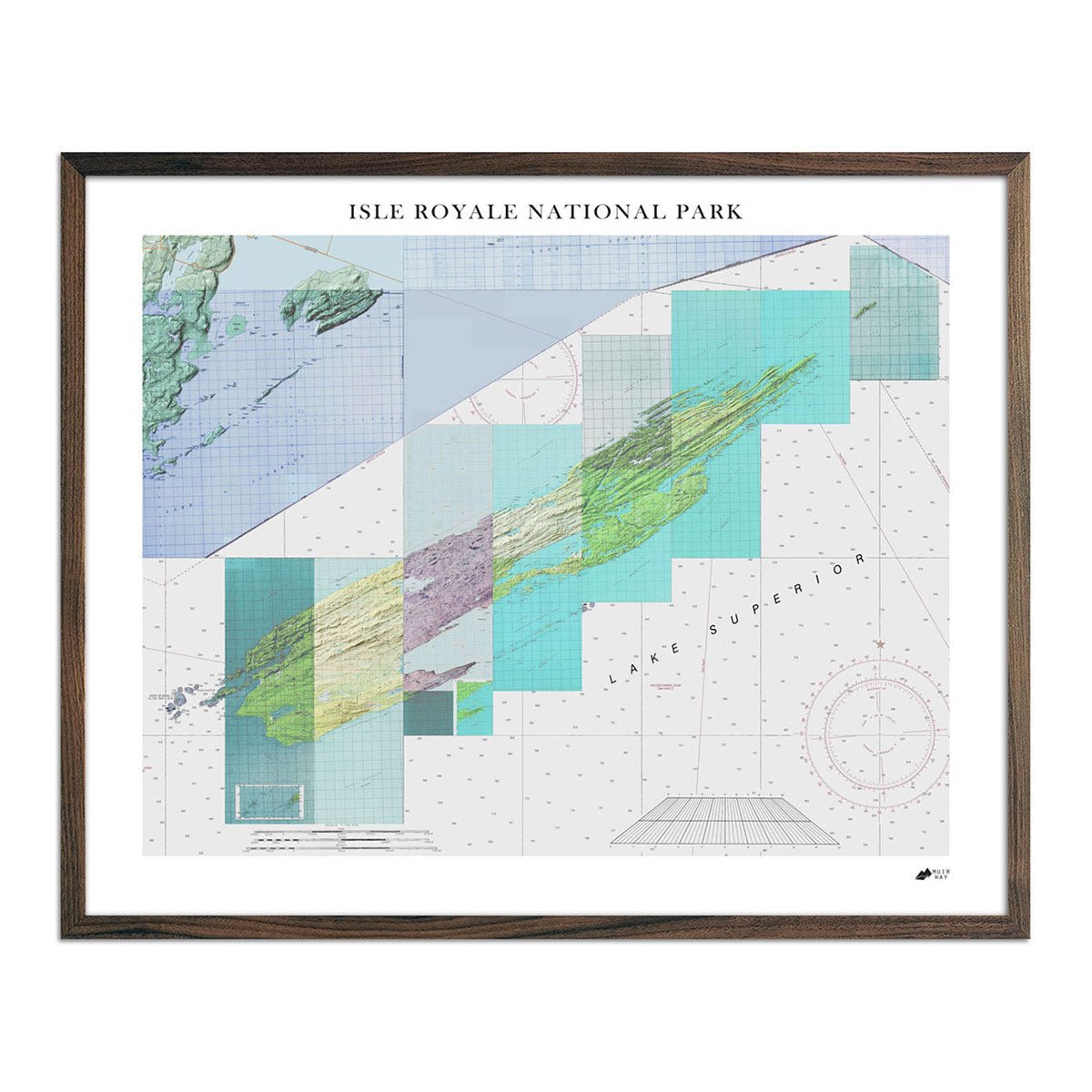
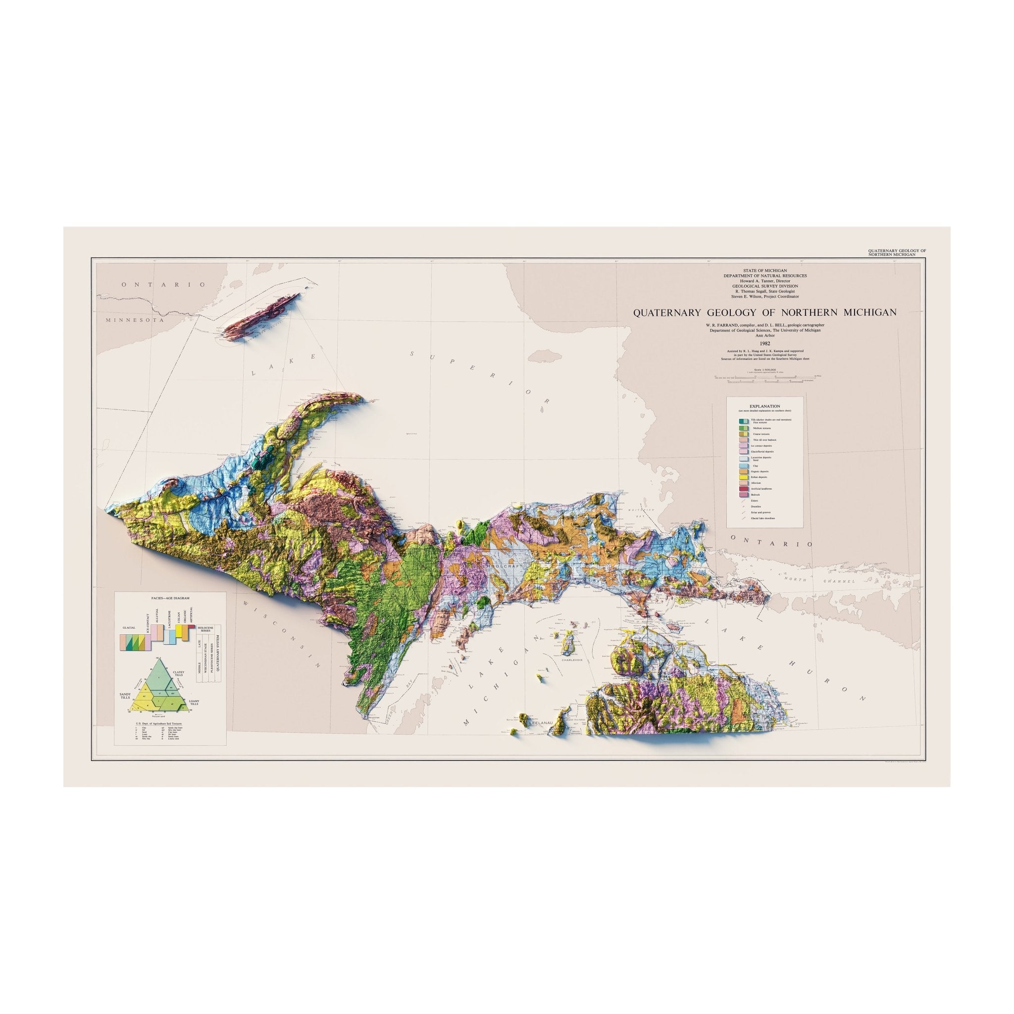
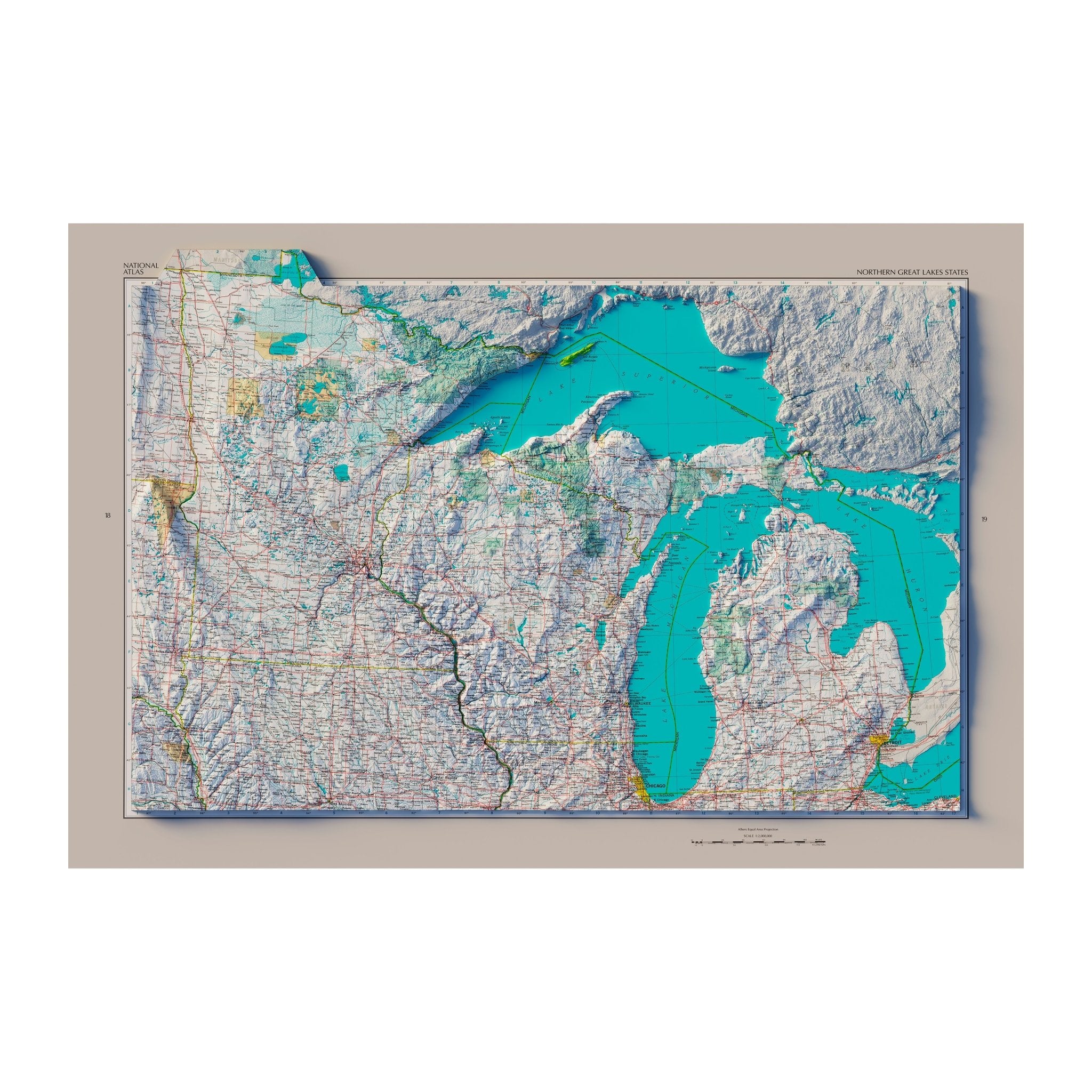
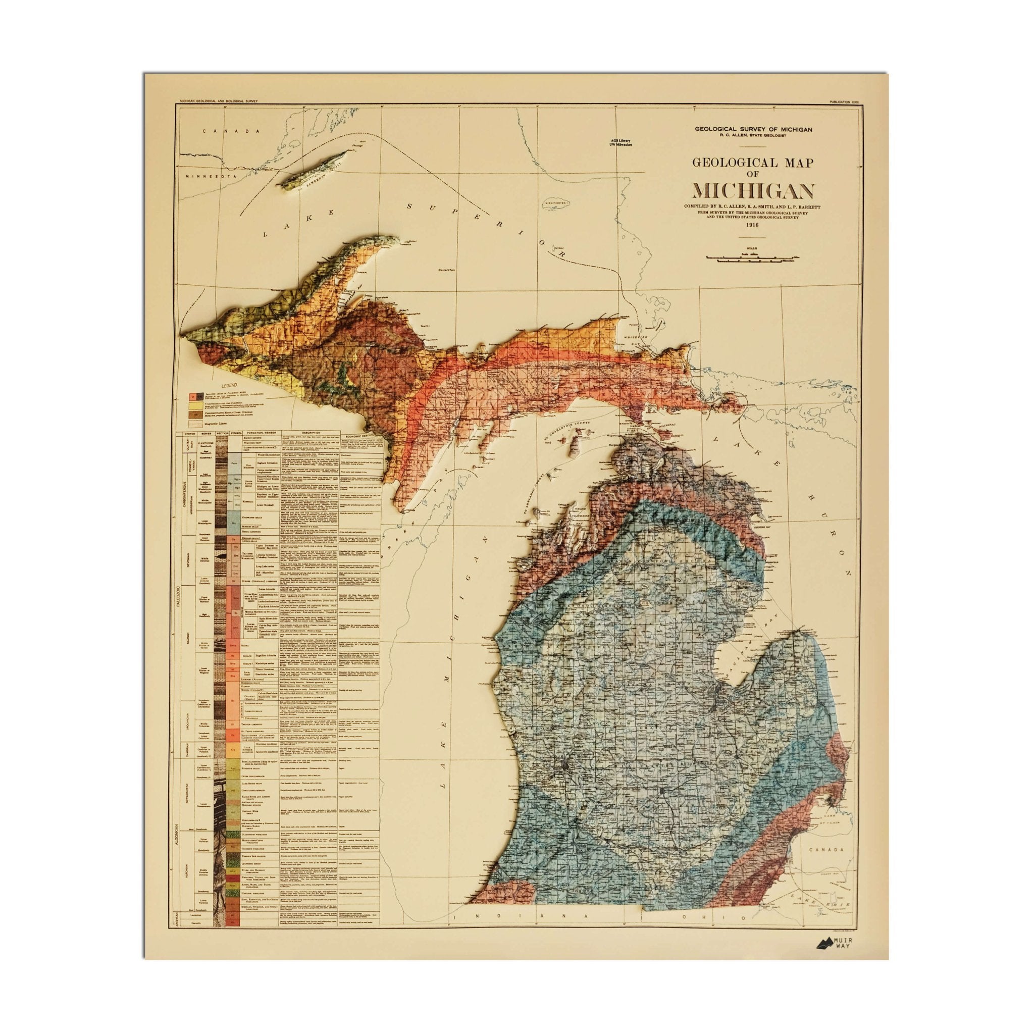
Michigan relief maps - Our relief maps of Michigan incorporate historical map imagery with modern technology to showcase Michigan’s beautiful topography in a new way. Using USGS Digital Elevation Data and shaded relief, we custom enhance vintage map imagery to bring a vibrant, jump-off-the-page 3D effect on a flat surface. Choose from our 1878 Michigan relief map, our 1982 Michigan relief map of the Lower Peninsula, or even a relief map of the Great Lakes to see Michigan’s variegated terrain in a color-coded display.

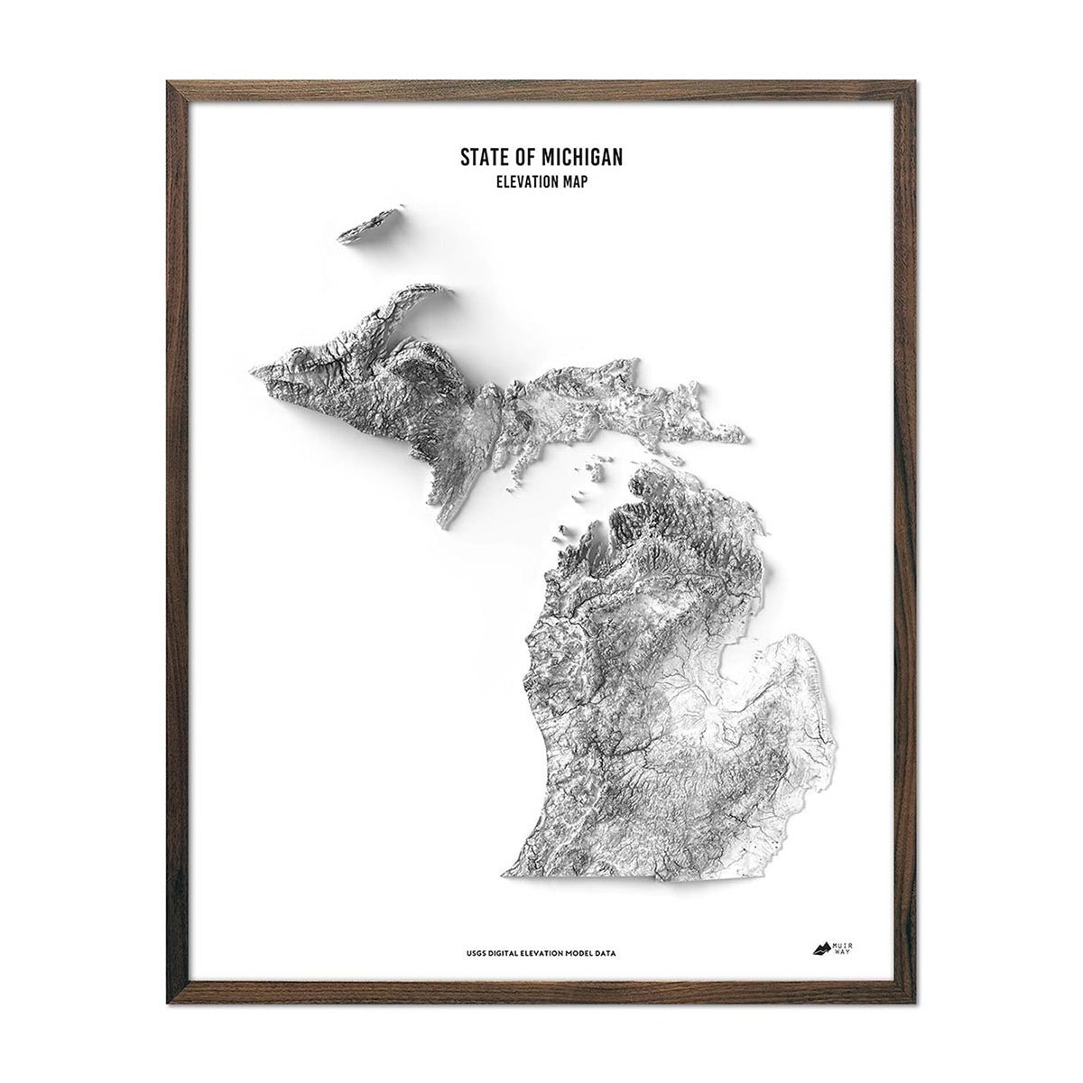
Michigan elevation maps - Our state of Michigan elevation map also uses Digital Elevation Data from the USGS to create a high-contrast 3-dimensional effect like our relief maps, but instead of vibrant color, our elevation maps are produced in stunning black and white with a blank background, allowing the contours of the state to be the star of the show.

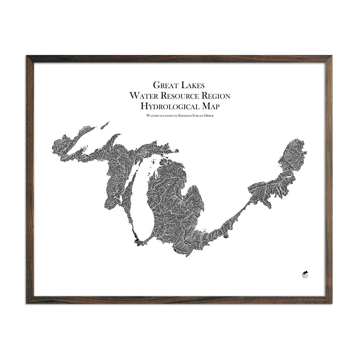
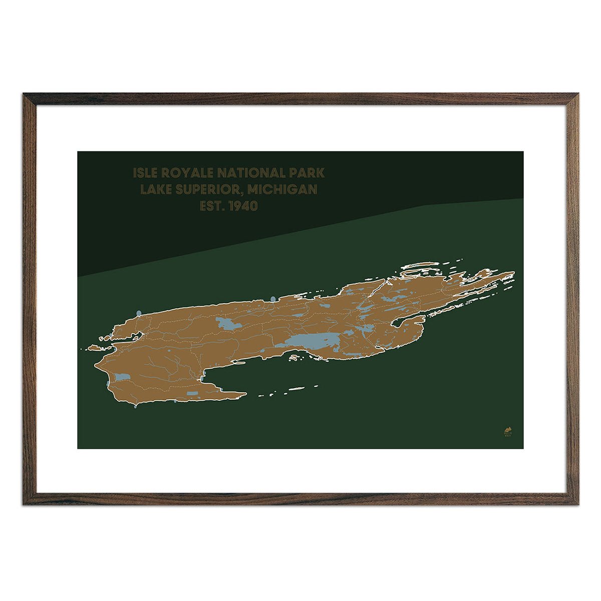
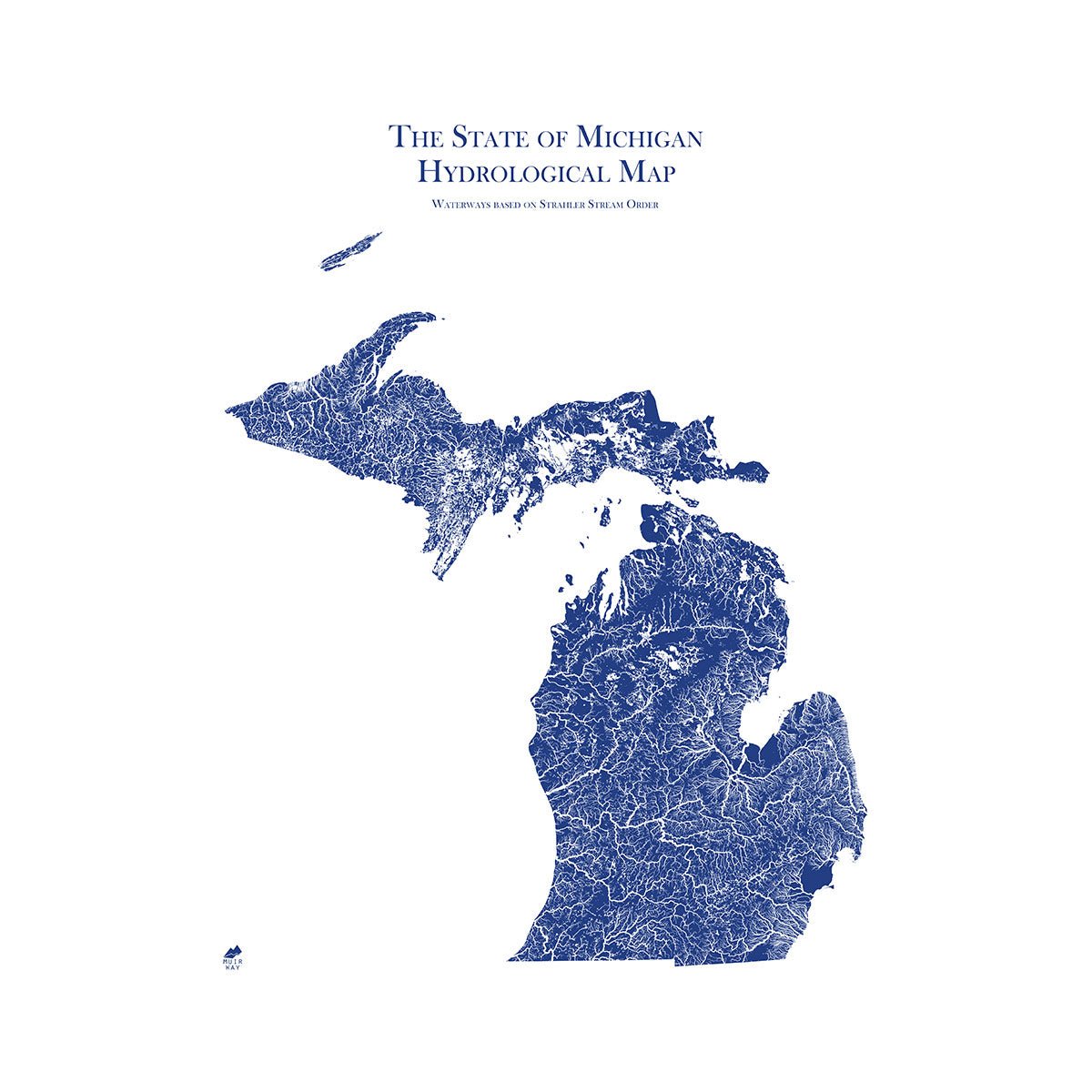
Michigan hydrological maps - Our highly detailed hydrological maps are designed to look beautiful from across a room and to deliver meticulous detail up close. Whether following the interconnected trails of water on our Michigan hydrological map or one of our regional hydrology maps like our Great Lakes regional hydrology map or our Upper Mississippi regional hydrology map, you can trace every single river and intermittent stream, as well as all bodies of water greater than 0.2 mi in diameter. Our hydrology maps feature a design method called the Strahler Stream Order to show the hierarchy of streams as they flow from their source, with rivers shown thicker as they acquire the flow of tributaries. Available in multiple colors.

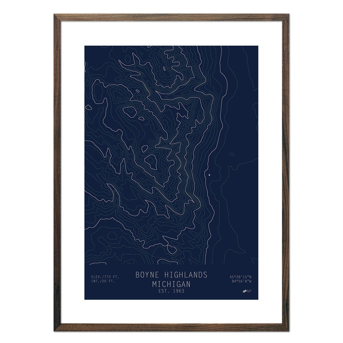
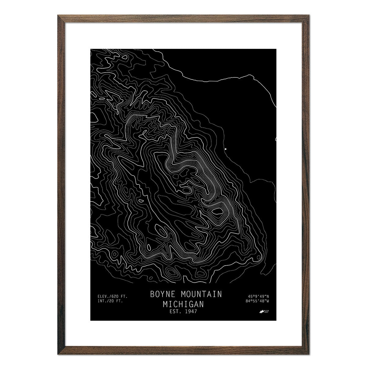
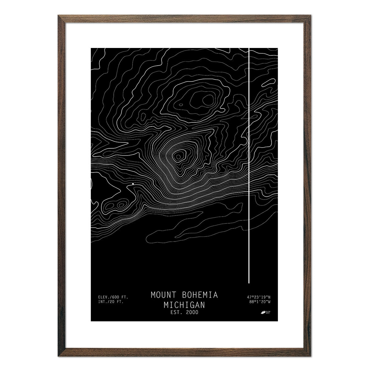
Michigan topographical maps - Featuring clean lines and modern design, our topographical or ‘topo’ maps clearly show elevation changes without any distractions. Available in multiple colors, choose from our Boyne Highland topographical map, Mount Bohemia topographical map, or our topographical map of Boyne Mountain.

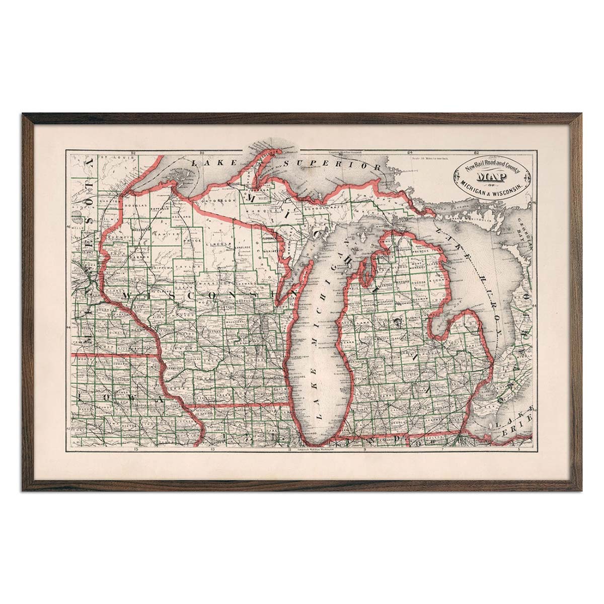
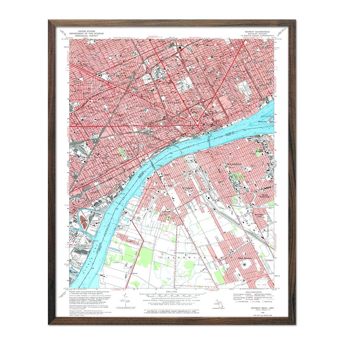
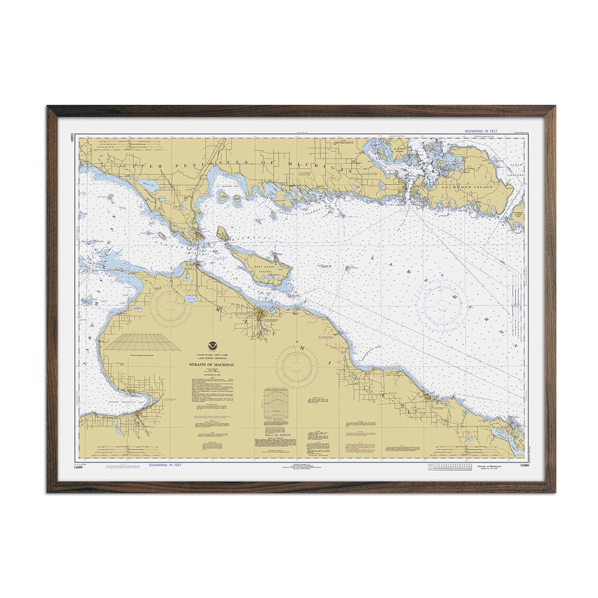
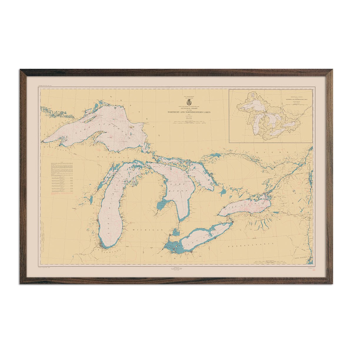
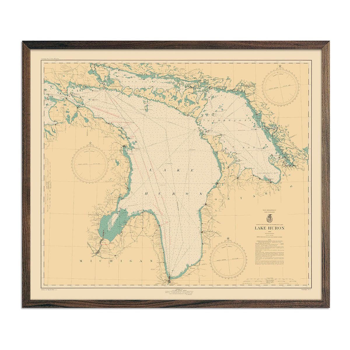
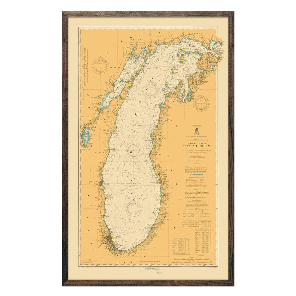
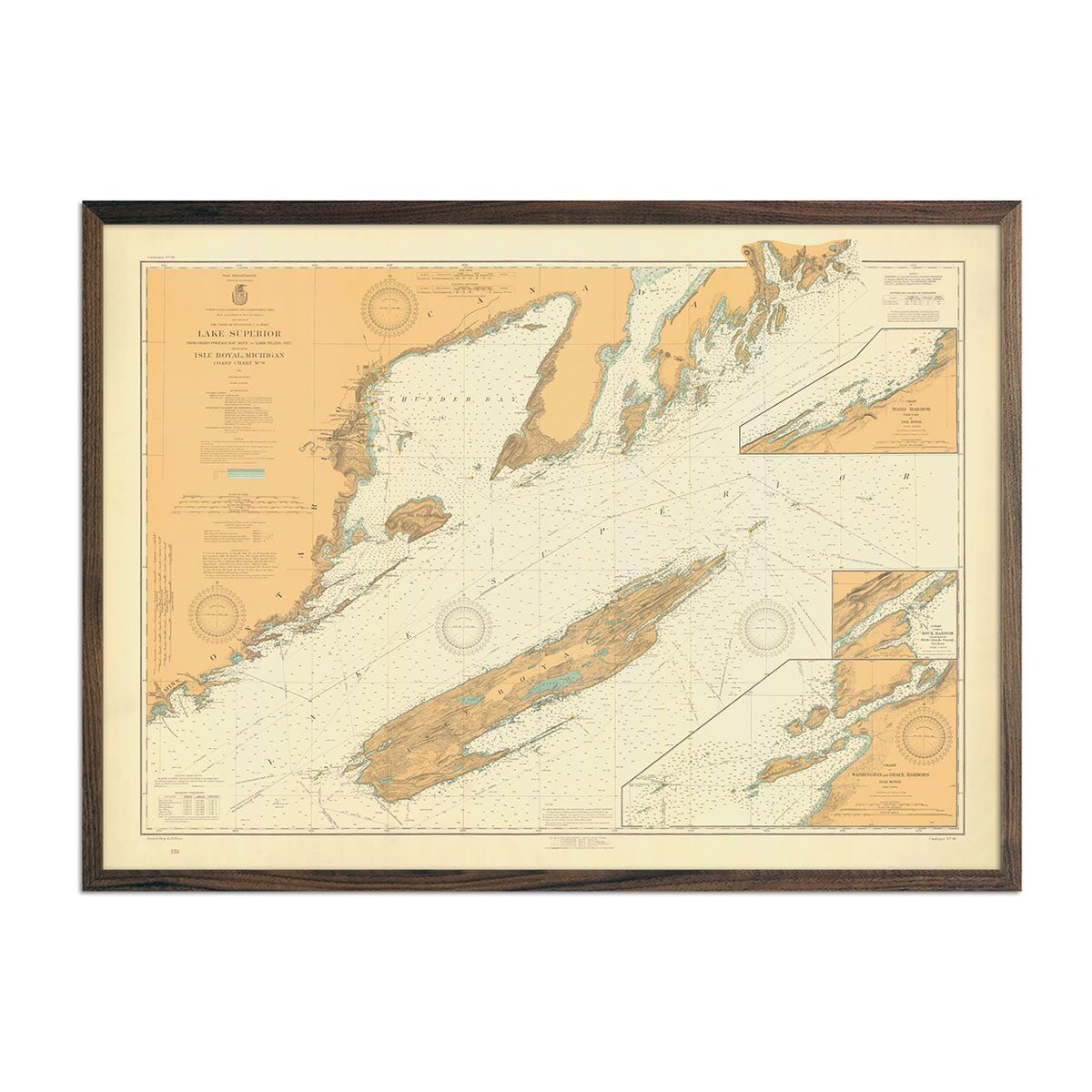
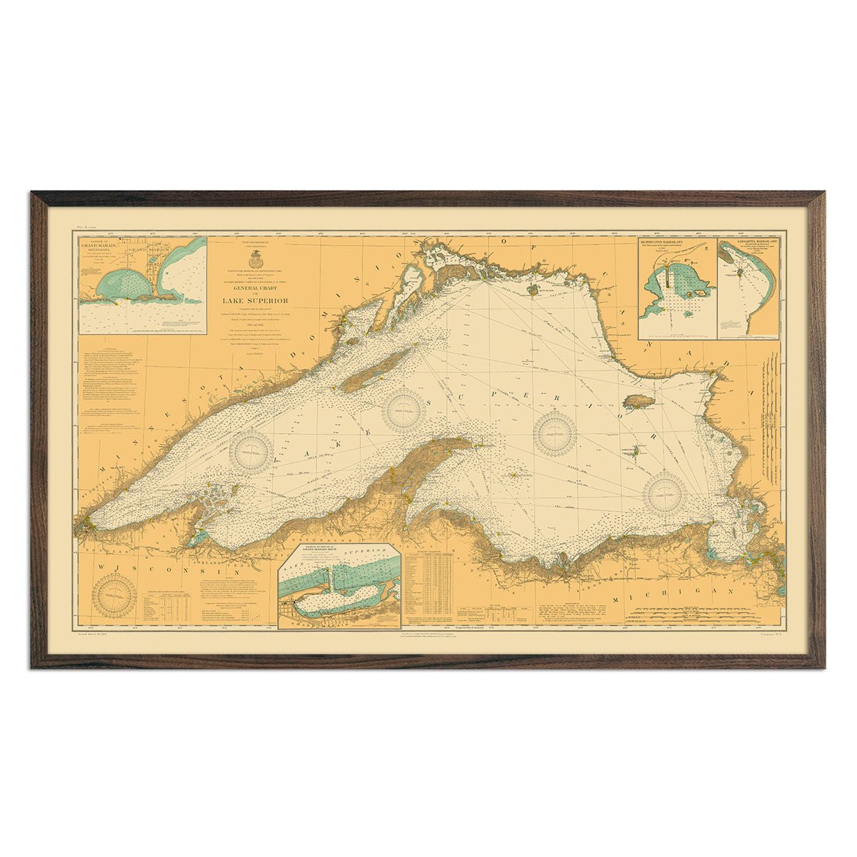
Regional vintage maps featuring Michigan - If you like vintage maps, you’ll love our regional 1883 vintage map of Michigan and Wisconsin. Unlike our relief map series, our historical maps don’t feature elevation, but they do feature a record of history beautifully printed and ready to display. Our vintage maps are reproduction prints of authentic vintage maps, painstakingly restored to maintain their vintage charm without the wear & tear. We also offer a 1968 vintage map of Detroit.

What are some prominent features on the map of Michigan?

Michigan is perhaps most known for its lakes, but you’ll find there’s a lot more to see on a map of Michigan than you might expect.

Surrounded by the Great Lakes as well as the Menominee and Montreal Rivers, Michigan shares its borders with several midwestern states as well as Canada, but is primarily bordered by water. Home to two peninsulas and eighty three counties, Michigan features the world’s longest freshwater coastline and also features some more rugged terrain in the Upper Peninsula region.

Our elevation and relief maps of Michigan show Michigan’s variegated terrain and its beautiful freshwater borders, and our vintage Michigan maps give a closer look at its counties and cities from a snapshot in the past.

No matter which Michigan state map you choose, you’ll enjoy an up-close look at a state known for its beautiful landscapes, bustling manufacturing industry, and of course, the Great Lakes.

What are the regions in Michigan?

Michigan can be divided into two different geographical regions, with smaller subsets of each – the Upper Peninsula and the Lower Peninsula.

  • The Upper Peninsula of Michigan - Surrounded by four of the Great Lakes,  the Upper Peninsula is bounded on the southwest by Wisconsin. Relatively mountainous, this region is home to the Porcupine Mountains and the Huron Mountains.
  • The Lower Peninsula of Michigan - Also known as Lower Michigan, the Lower Peninsula is the ‘mitten’ shape we primarily think of when we think of the state of Michigan. The Lower Peninsula is surrounded on all sides by water except for the southern border. This area contains nearly 2/3 of Michigan’s total land area and is home to the Michigan Basin.


    It wouldn’t be Michigan without further mention of the Great Lakes. The Great Lakes form most of the water boundary of Michigan and include Lake Michigan, Lake Superior, Lake Eerie, and Lake Huron. With the exception of two very small points on Michigan’s borders that drain to other bodies of water, all of the rivers and streams in Michigan drain entirely into the Great Lakes. The Great Lakes are home to several Michigan islands as well as several prominent bays, and they form the longest shoreline of any state in the whole country, equaling the length of the Atlantic coast from Maine to Florida.


If you like our collection of Michigan maps, you may also be interested in maps of other Midwest states. Click below to browse:

Subscribe