









Reviewed by Jeffrey
I recommend this product
5 Stars
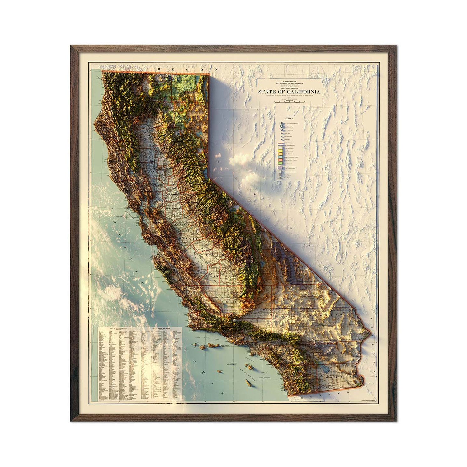
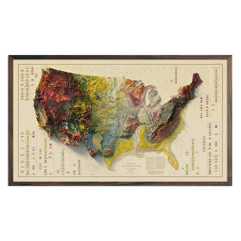
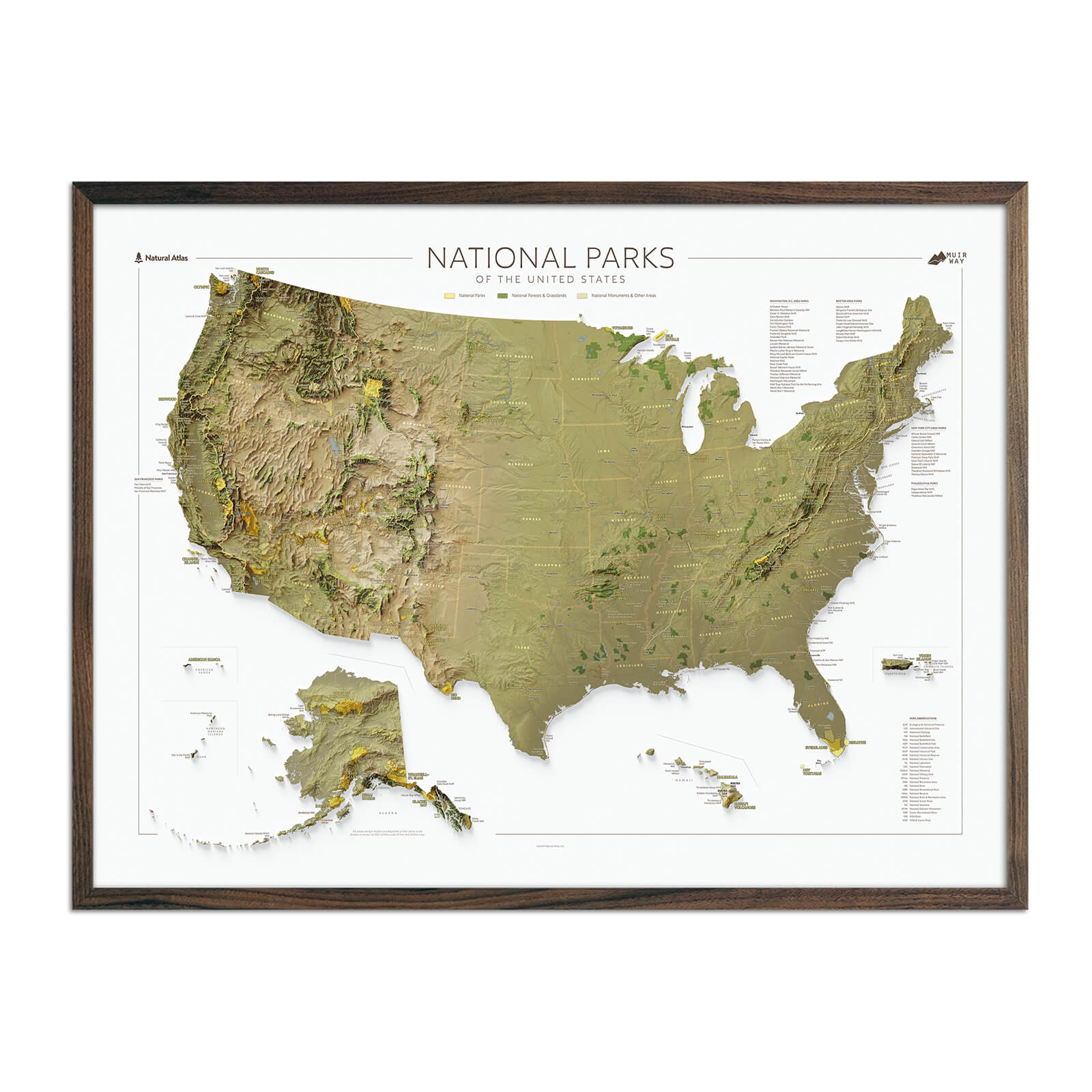
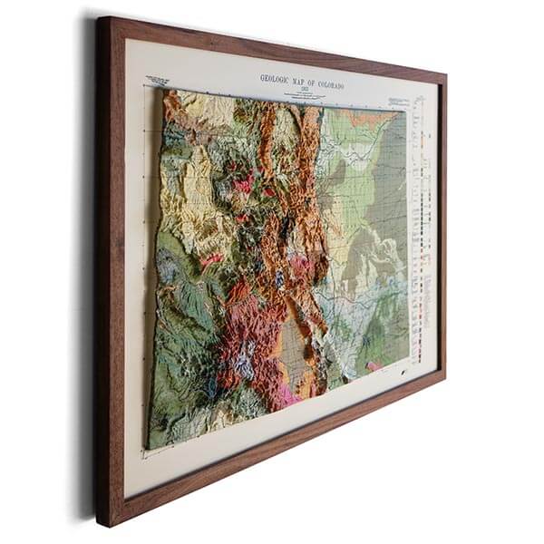
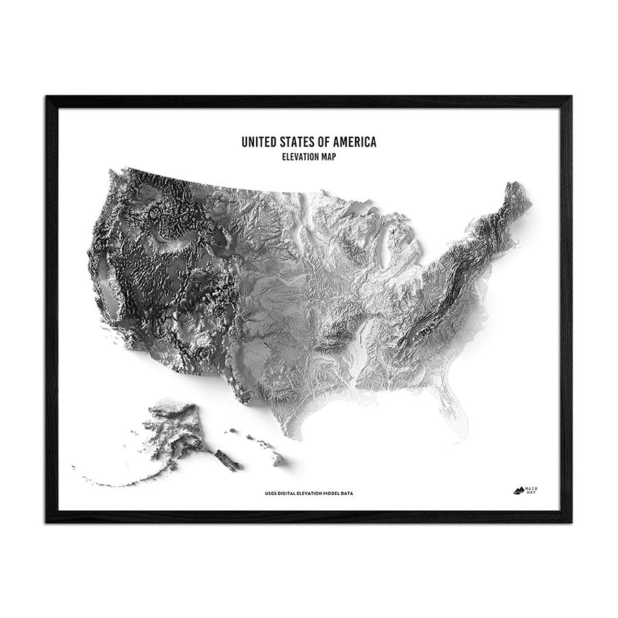
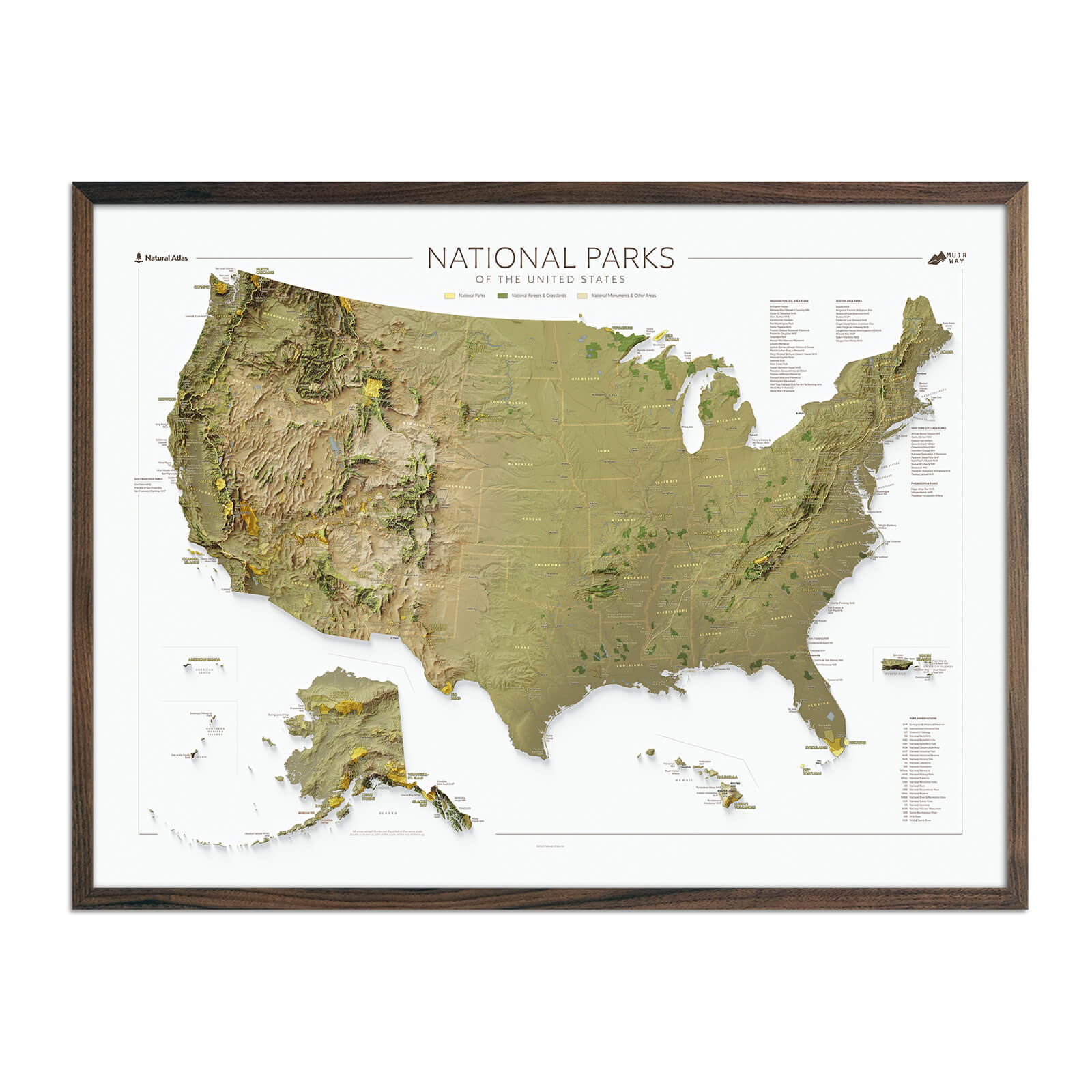
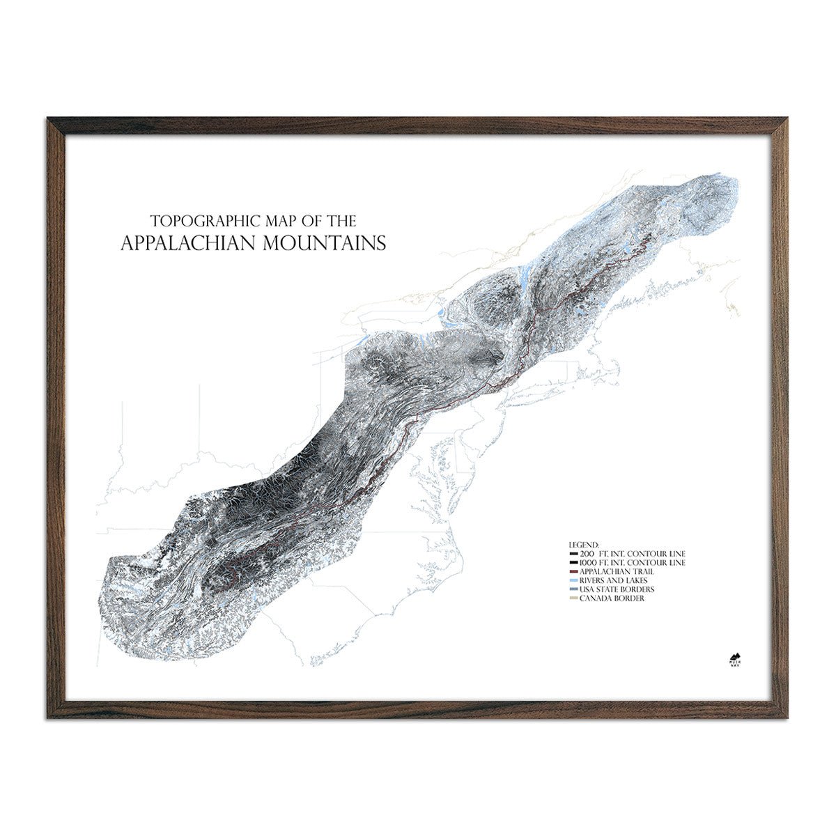
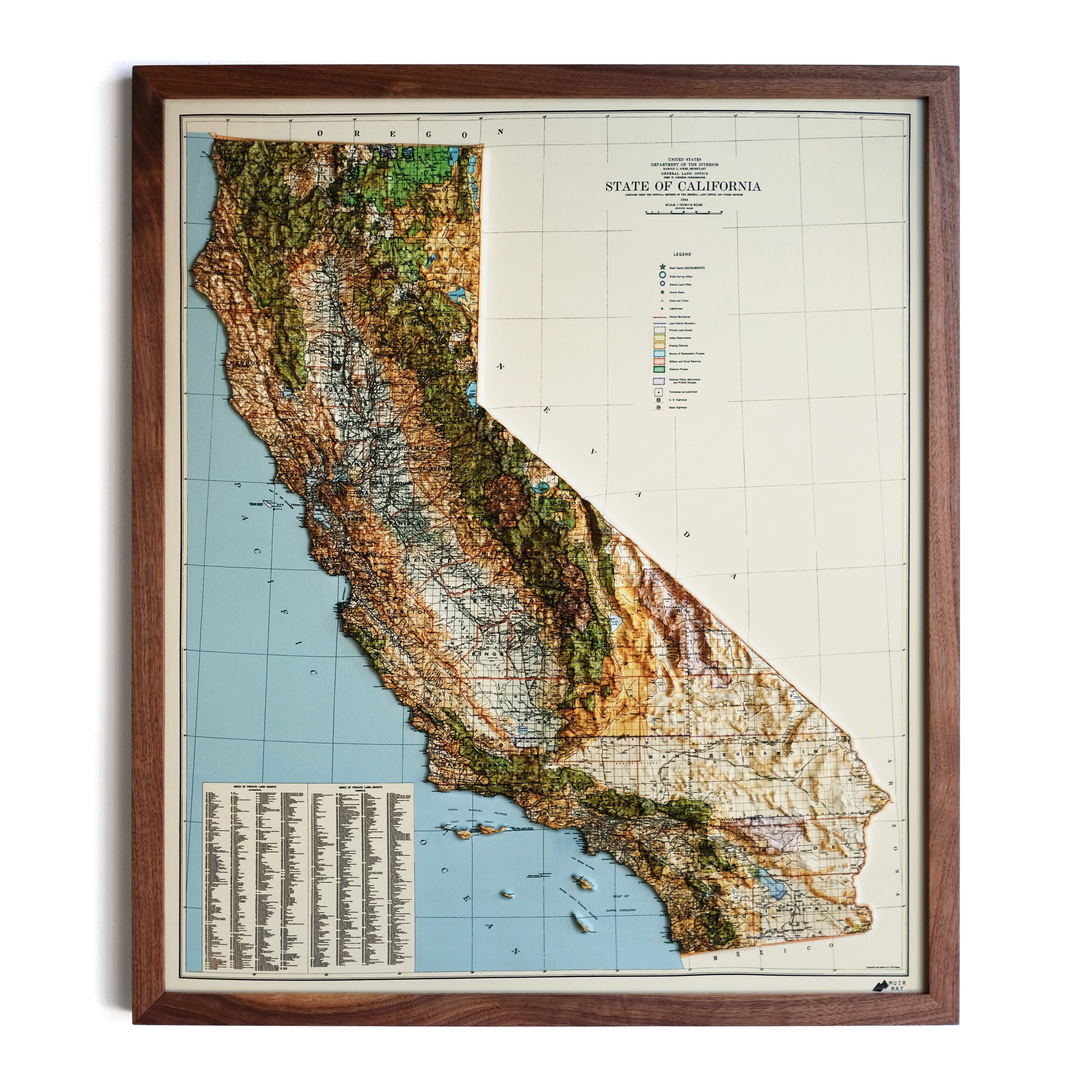
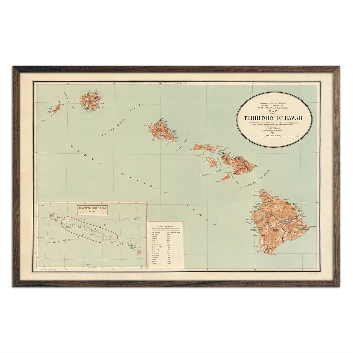
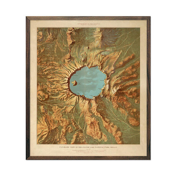
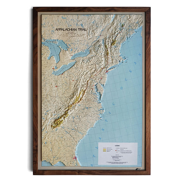
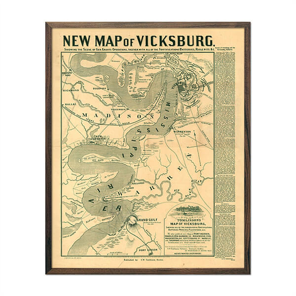
The map is excellent quality and the shaded relief almost looks raised. I chose a nice glass frame for it. I am very pleased with this purchase.
Loading...
Was this helpful?


Currently 10 people are looking at this product


At Muir Way, we believe in providing the utmost quality, design, and value.
Escalante sits at the heart of Utah's Grand Staircase country, a sweeping sequence of rust-and-cream cliffs that step down toward the Colorado River. The town takes its name from the 1776 expedition of Spanish Franciscan friar Silvestre Vélez de Escalante, and in 1879 Mormon pioneers chiseled an impossible passage through sheer sandstone — the legendary Hole-in-the-Rock Trail — to settle this remote corner of the territory. By 1956, the original survey behind this map was charting one of the last blank spots filled in on the American map, a landscape of slot canyons, natural bridges, and the long, folded plateaus that would later anchor Grand Staircase-Escalante National Monument.
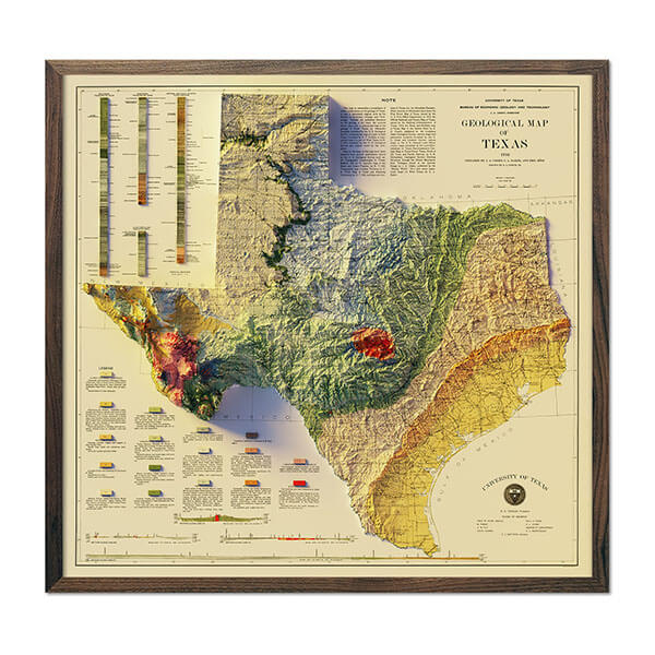
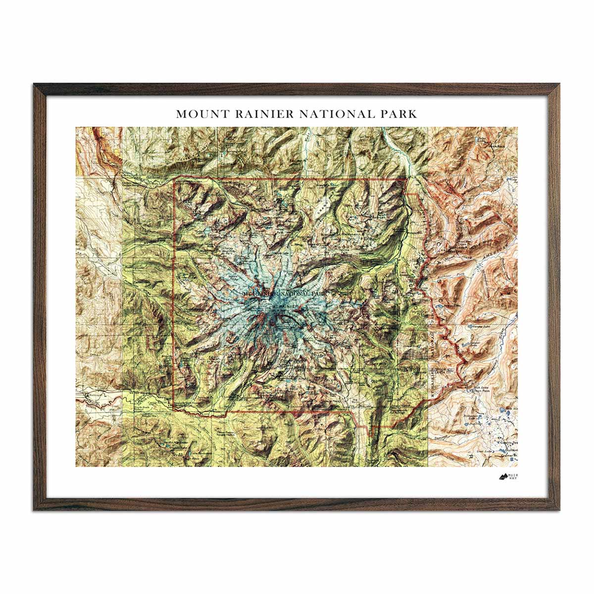
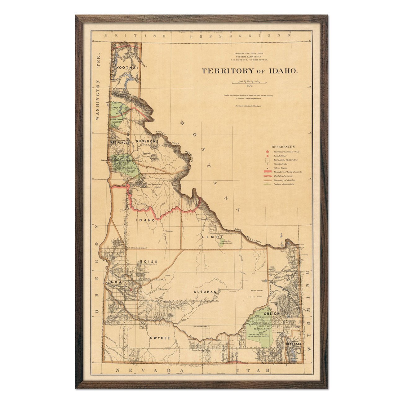
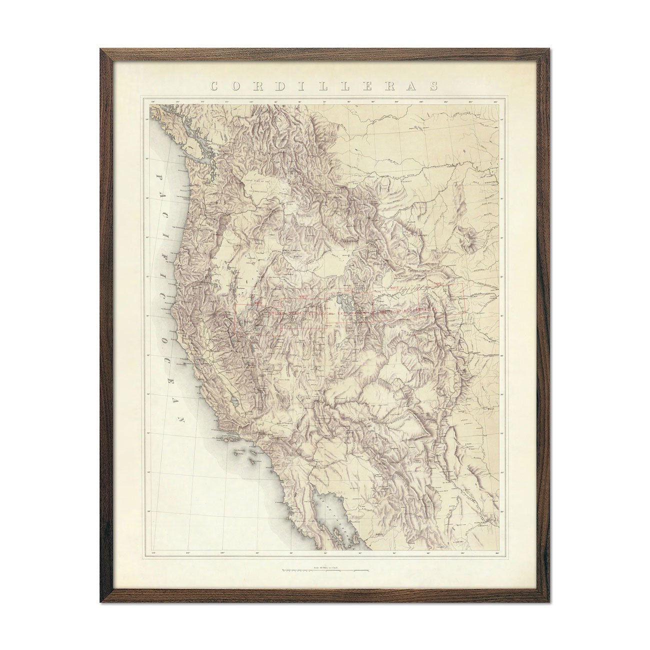
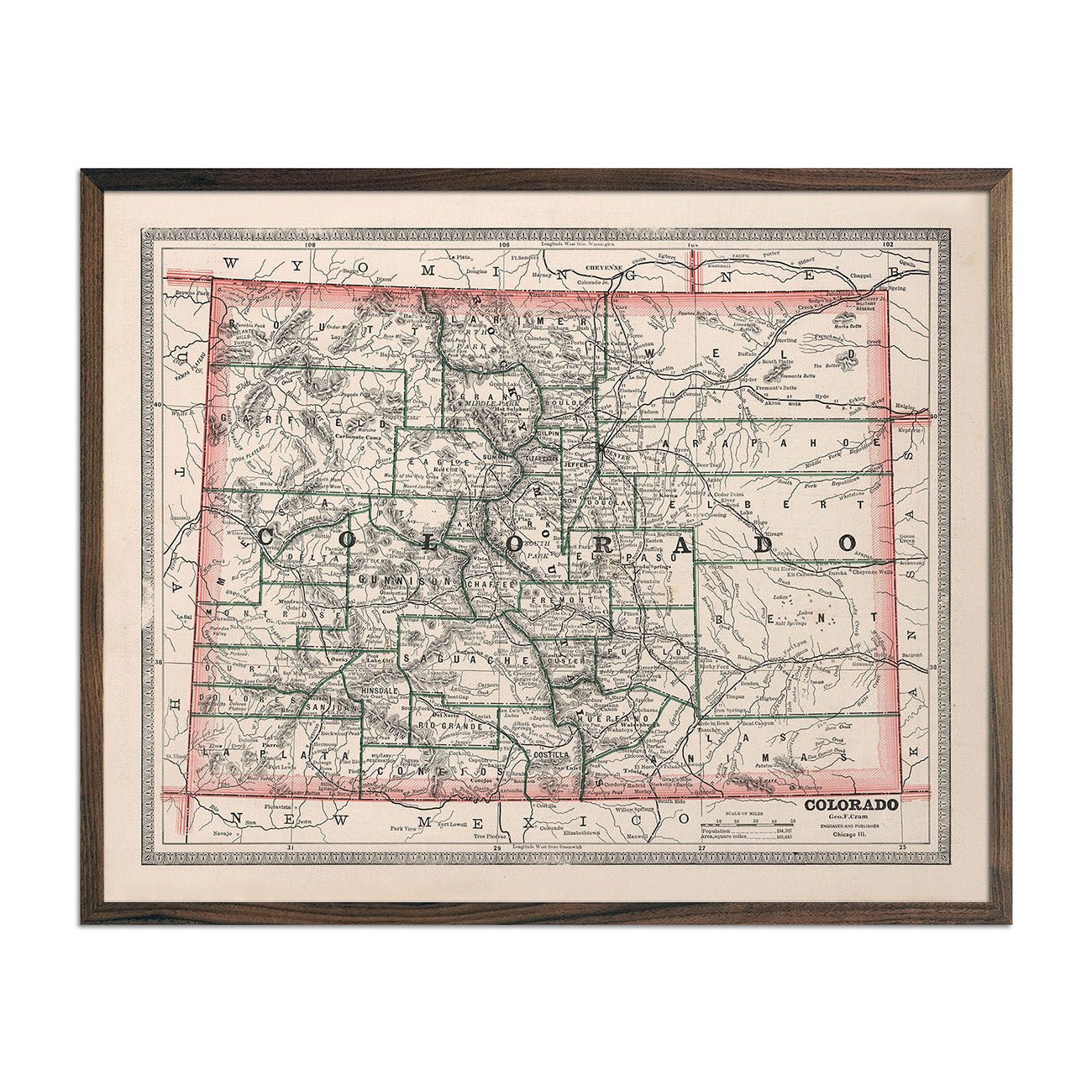
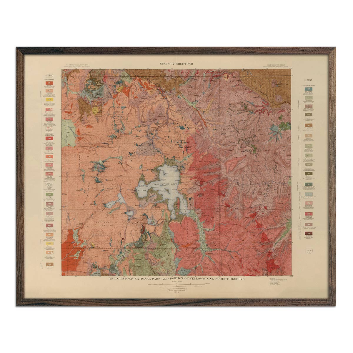
We georeferenced the original 1956 survey and added shaded relief using modern digital elevation data, bringing Escalante's canyon country and plateau terrain into convincing three-dimensional depth. The shading is printed flat on the paper — not raised or textured — so it frames like any fine art print.
A note on legibility: text on the original map is small and can be difficult to read given the map's age. In areas where the relief shading is darkest, the underlying labels are not legible. We recommend the largest available size for the best detail.
FREE SHIPPING on orders to the contiguous US over $49 with UPS ground or USPS to PO Boxes.
Unframed prints - Printed to order and shipped within 2-3 business days
Framed prints - Custom framed and will ship in 3-4 weeks
Full refund on returns of unframed paper prints within 30 days of purchase. Prints must be returned in NEW condition without creases or damage. Please email us at [email protected] for instructions.
If prints are shipped back to us and are not in new condition, we offer a store credit or can return them to you.
We do NOT ACCEPT returns or exchanges on framed prints or canvas wraps because they are made to order.
Click HERE for more information on shipping and returns.
Made in the USA
We consider our maps to be works of art, so we print and frame them accordingly.
Using award-winning printers with gallery quality fine art paper and inks, our maps will exceed expectations and last a lifetime.
Read customer reviews HERE attesting to the quality of our prints.


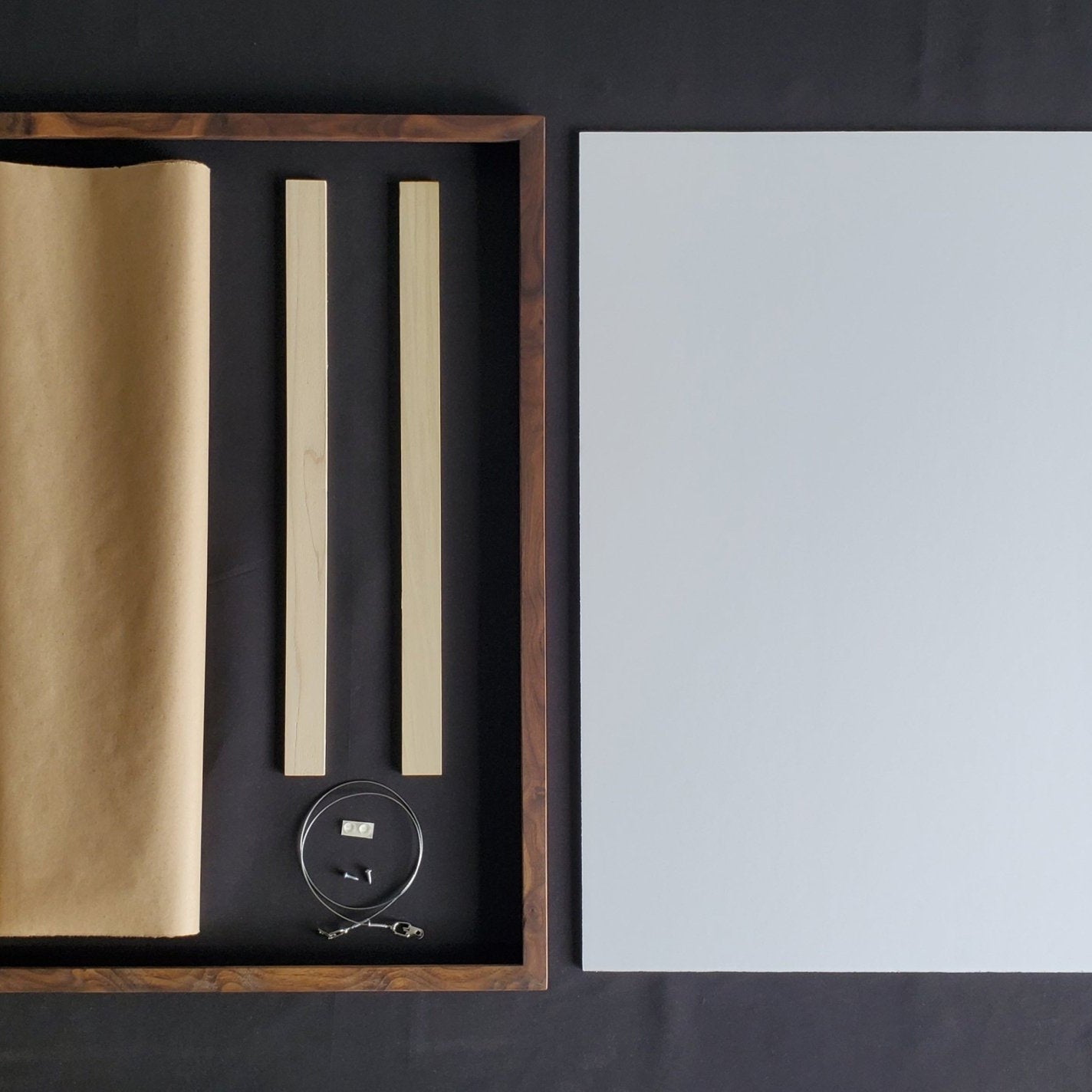
We use real Walnut for our frames, unlike the lesser quality veneer you will typically find elsewhere. With beautiful hardwood grain, each is handmade to order at a professional frame shop.

Shaded relief built by georeferencing hundreds of points against modern USGS elevation data
Historic maps with terrain accurately depicted with USGS data. Every peak and valley beautifully rendered.
A digital light source casts the shadows, a 3D look on flat paper
The terrain appears to have real depth even though the paper is flat.
Prints completely flat, so it works with traditional framing.
More size options with better details on archival paper.

12-color giclée printing with fade-resistant premium inks
Colors that hold their depth for a lifetime. Fade-resistant premium inks, with the ultimate color spectrum.
100% cotton, acid-free archival paper rated to last 100+ years
Check out our reviews, the quality really is noticeable
Individually printed to order by our team
We take pride in every map we ship out.

Handmade from real walnut, no pressed wood, no veneer
Real hardwood grain, not a stained lookalike.
Custom framed to order at a professional frame shop
Hand-cut and hand-finished, not pulled off a shelf. Every frame is sized to your print.
Unframed prints ship in 2–3 business days; framed in 3–4 weeks
Framing takes longer because they are handmade for your order.