


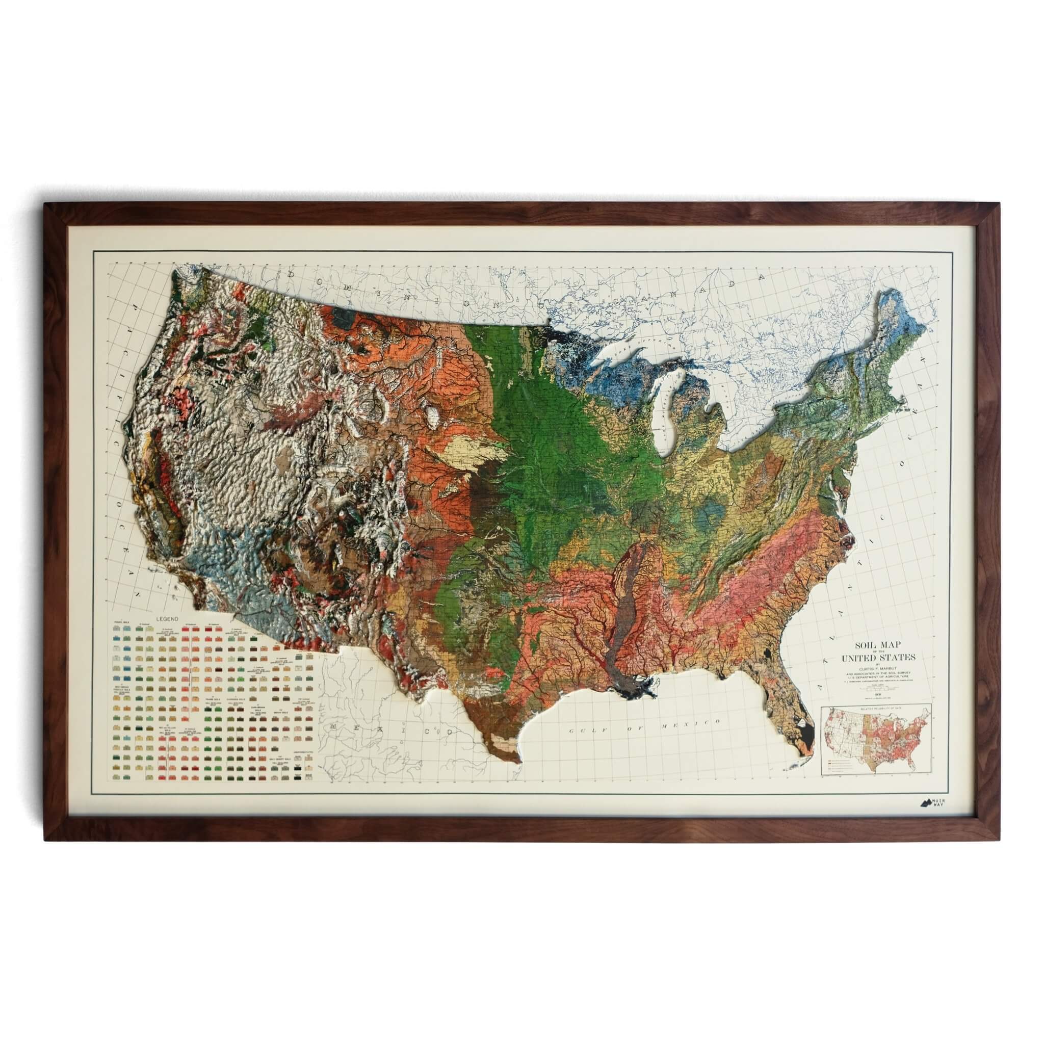

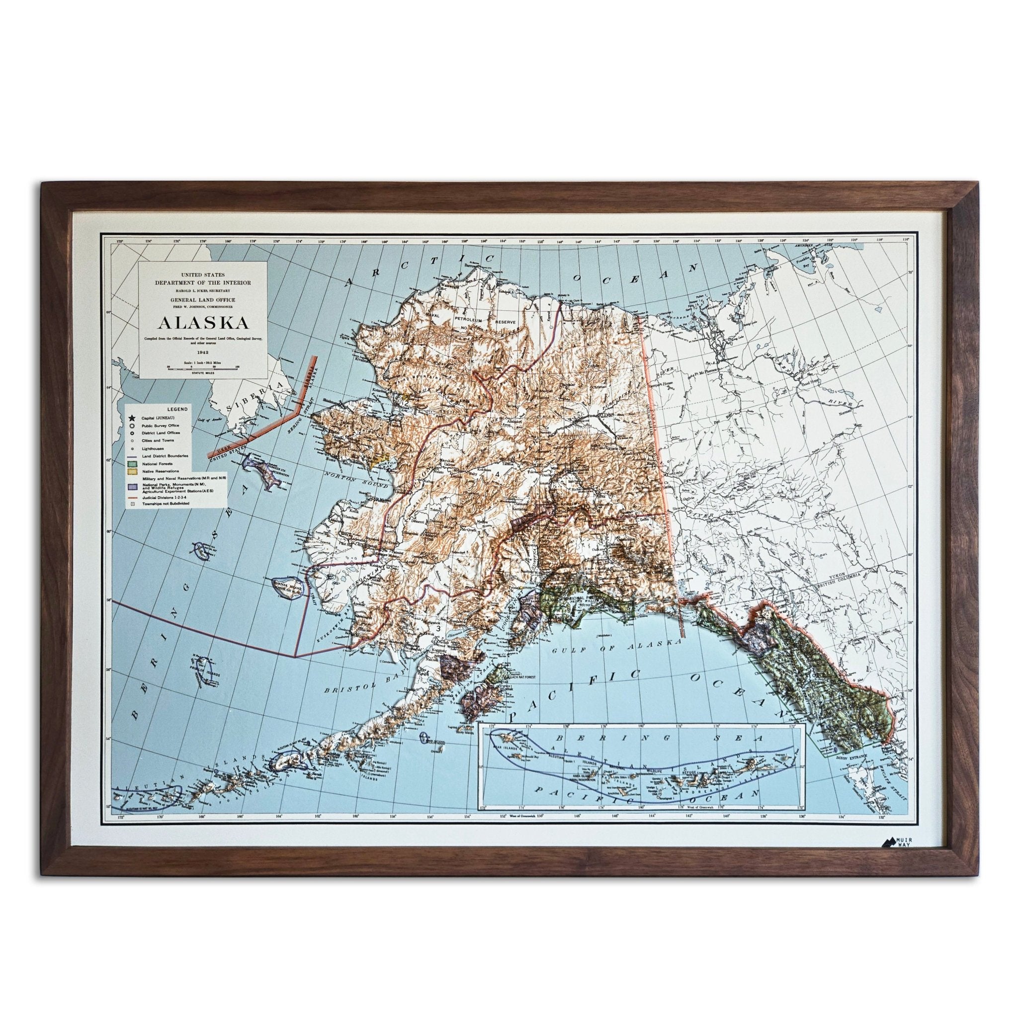

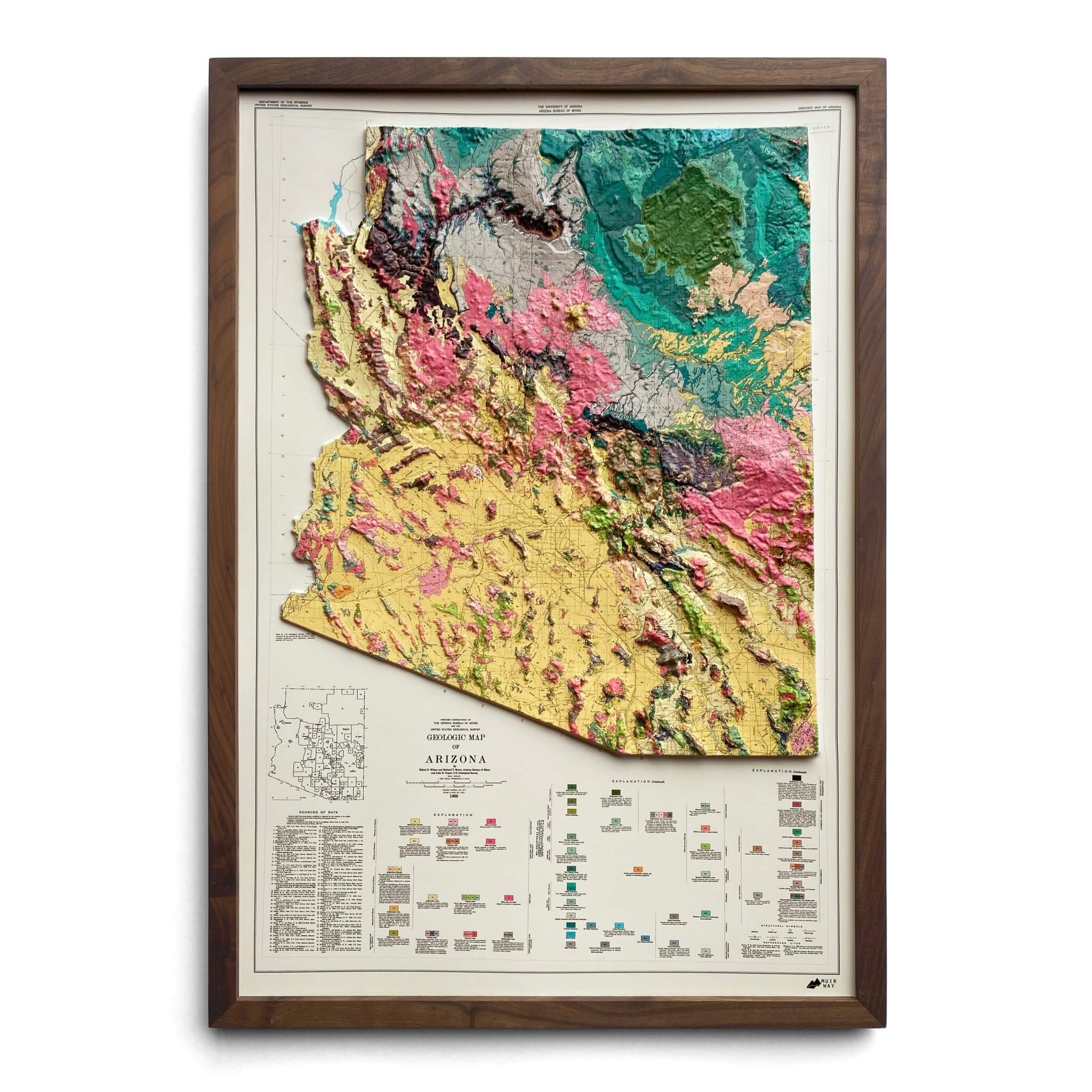

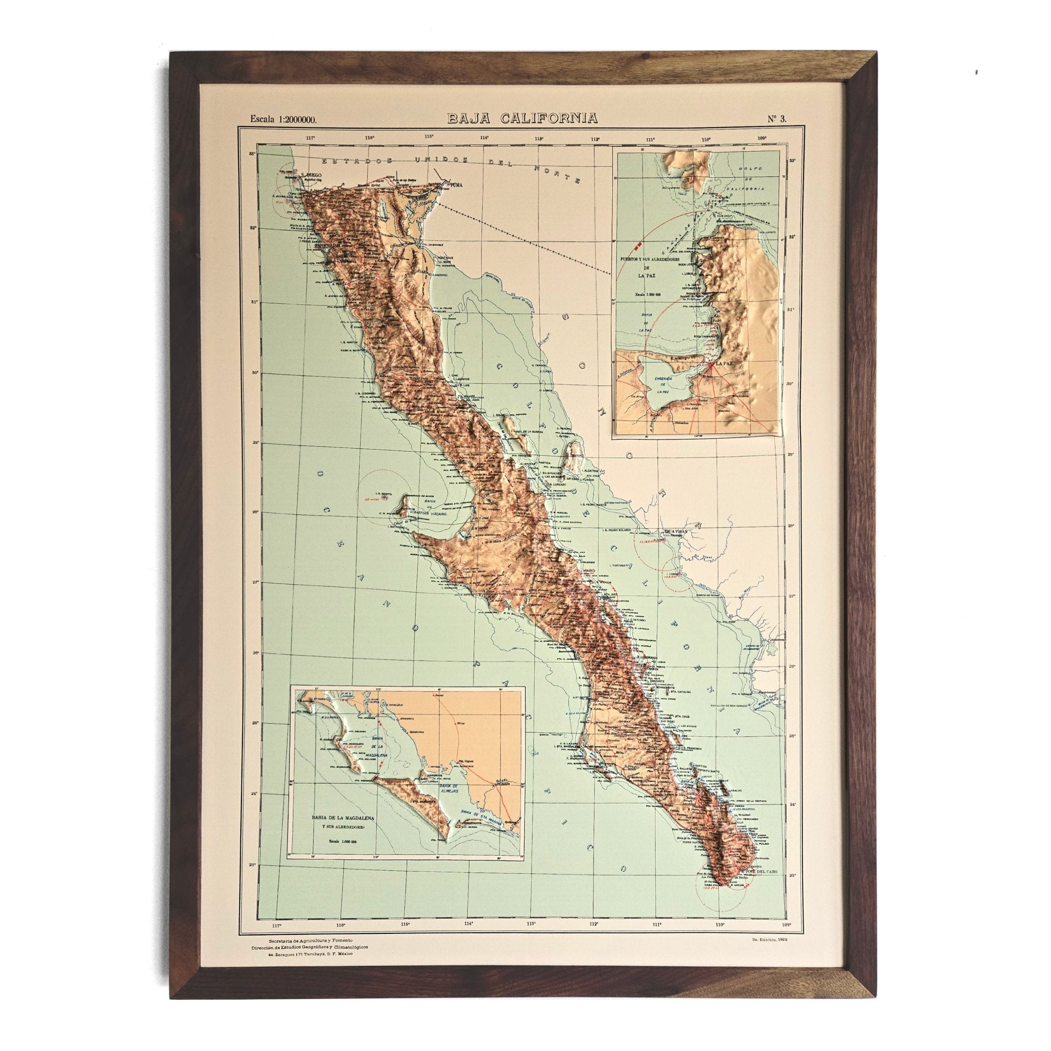


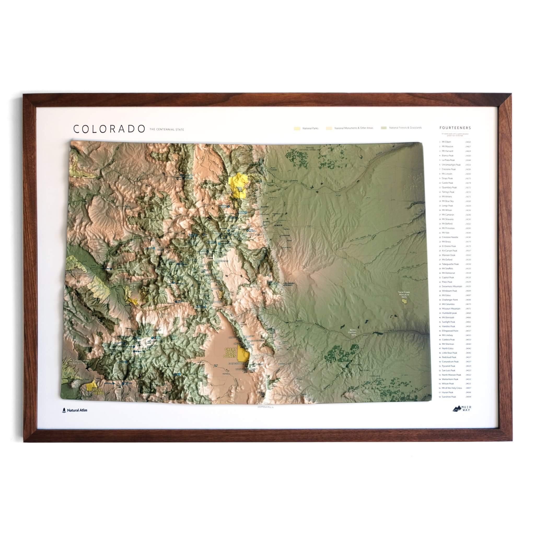
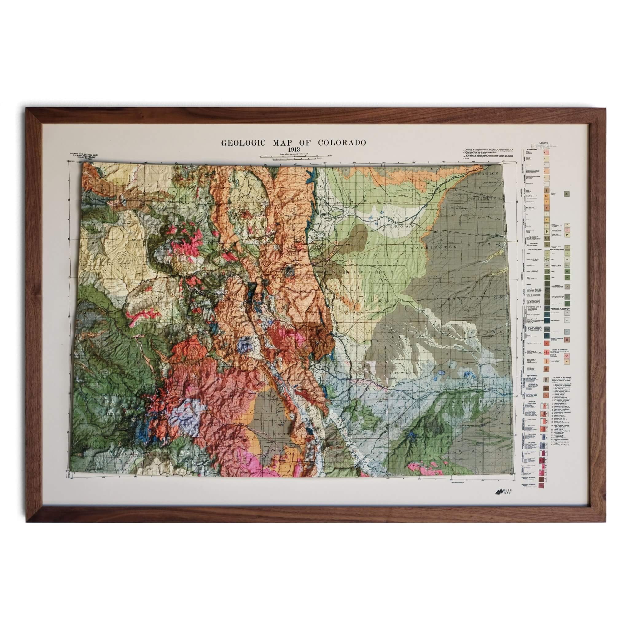
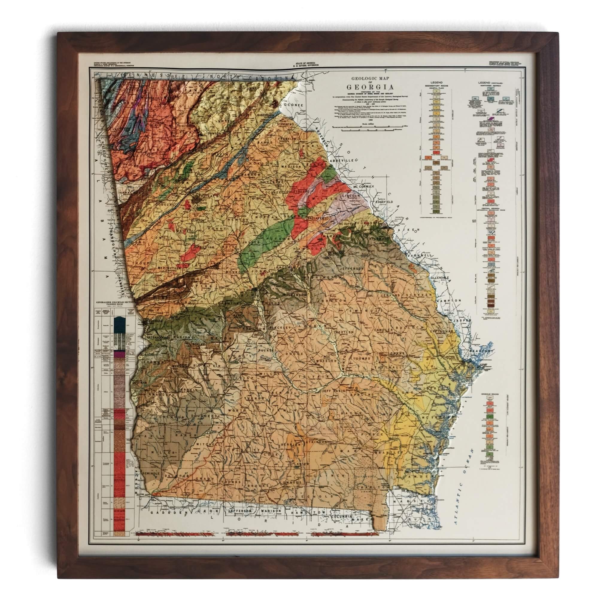
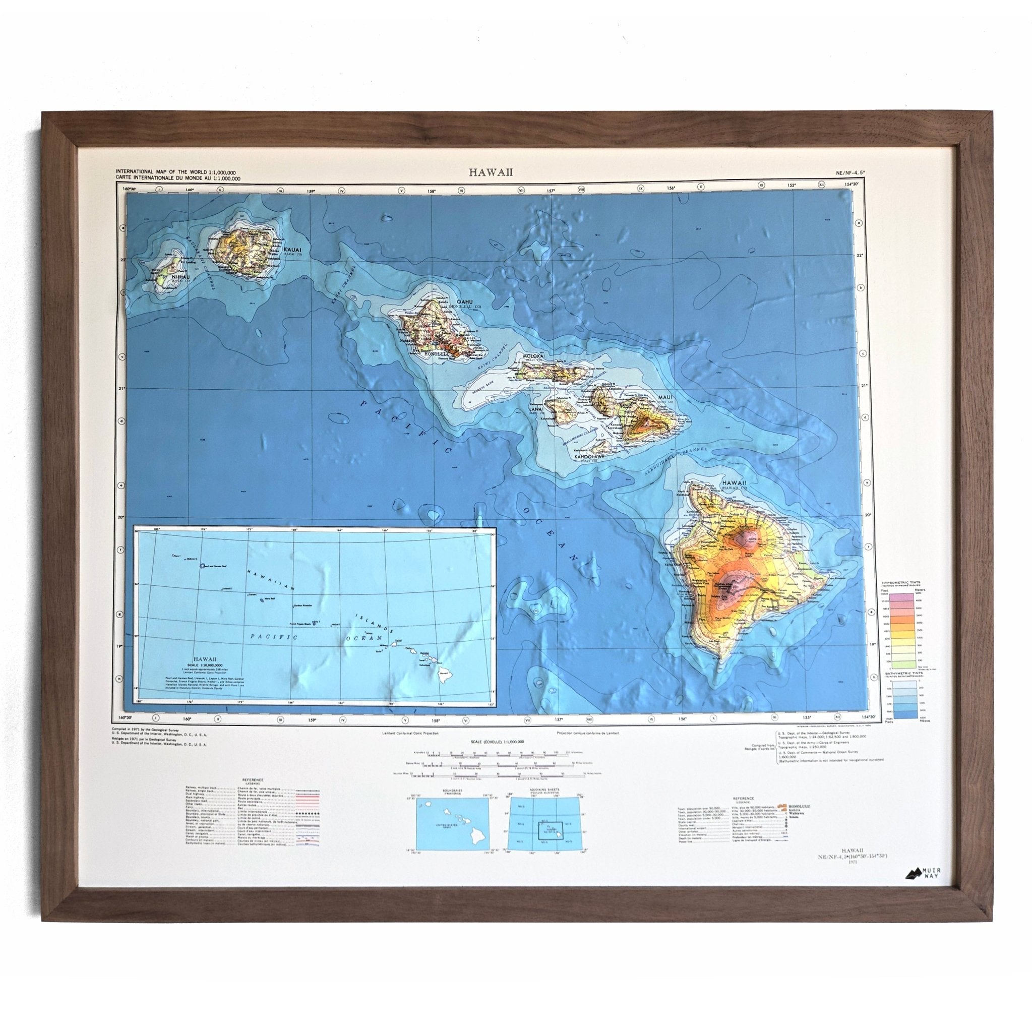


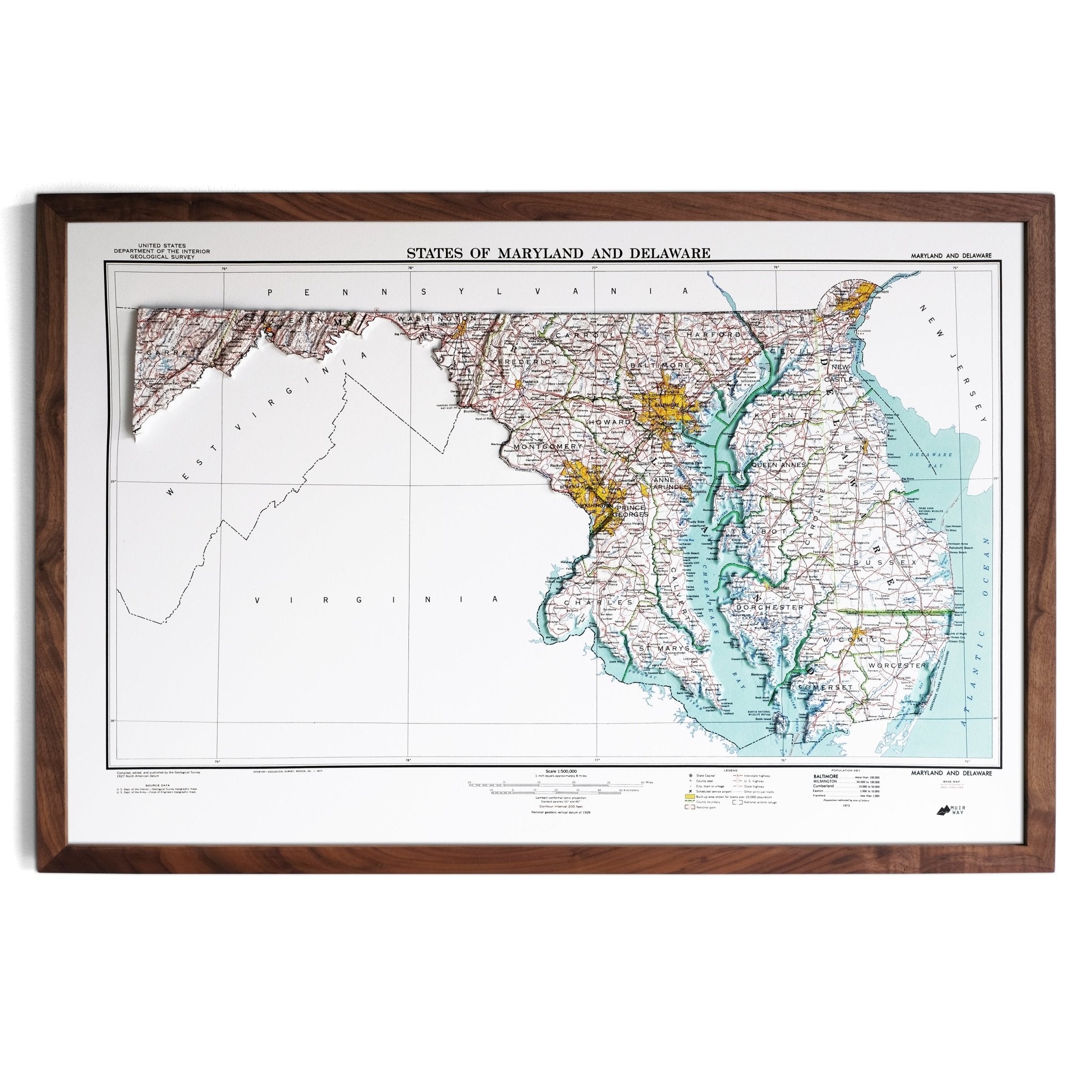
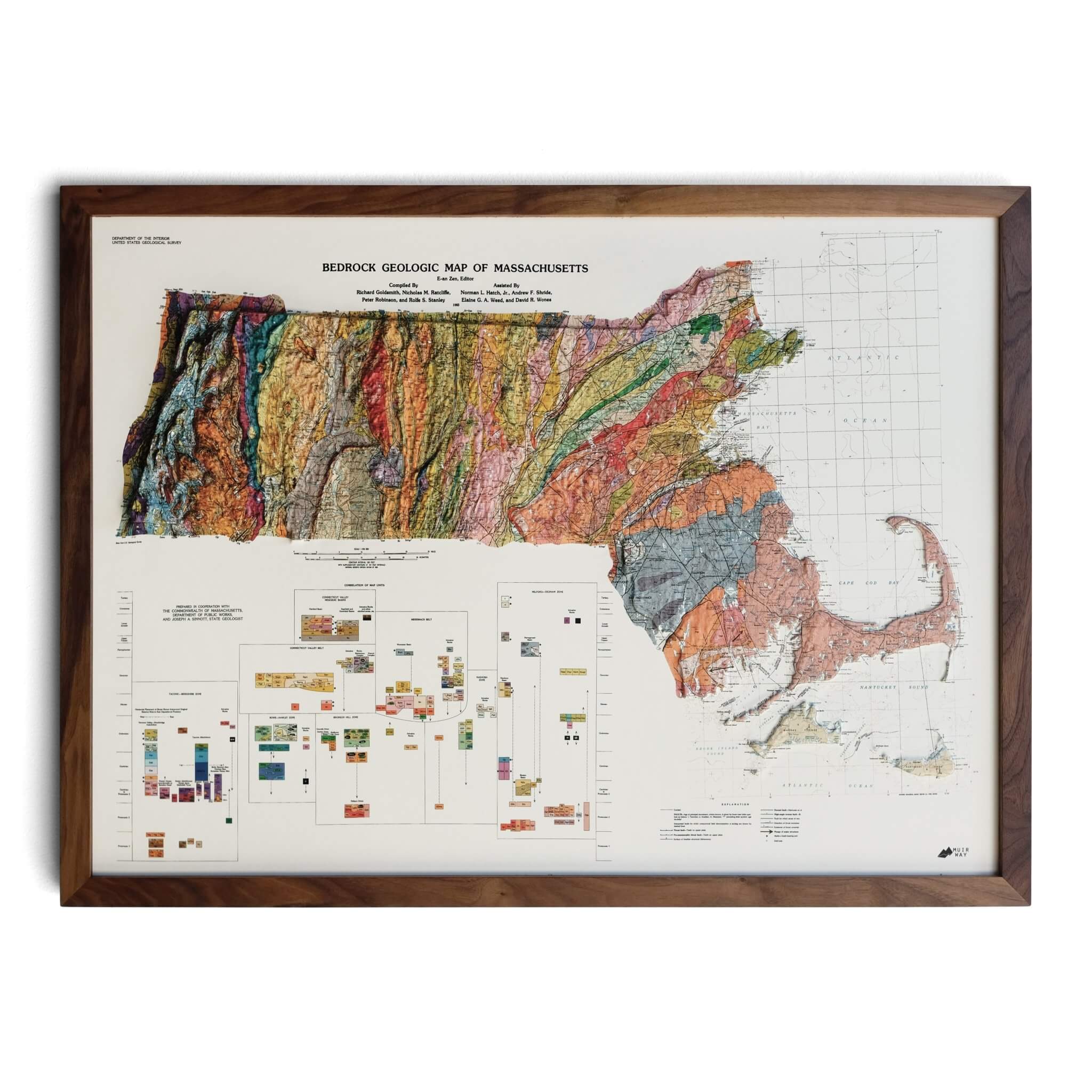
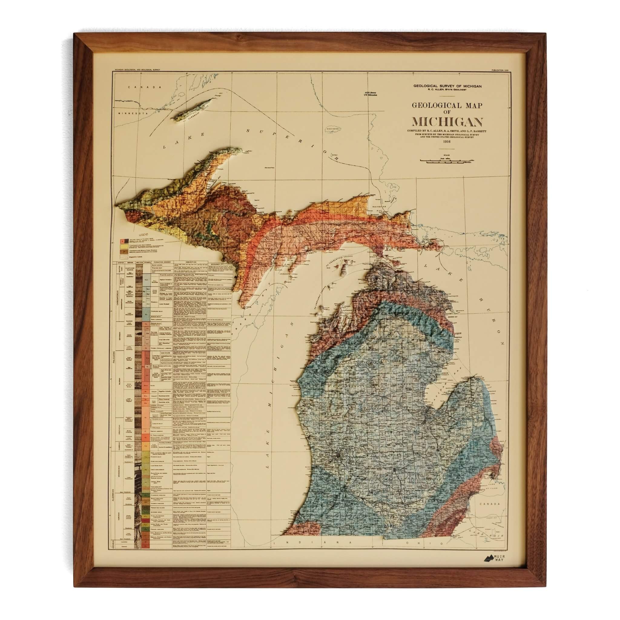
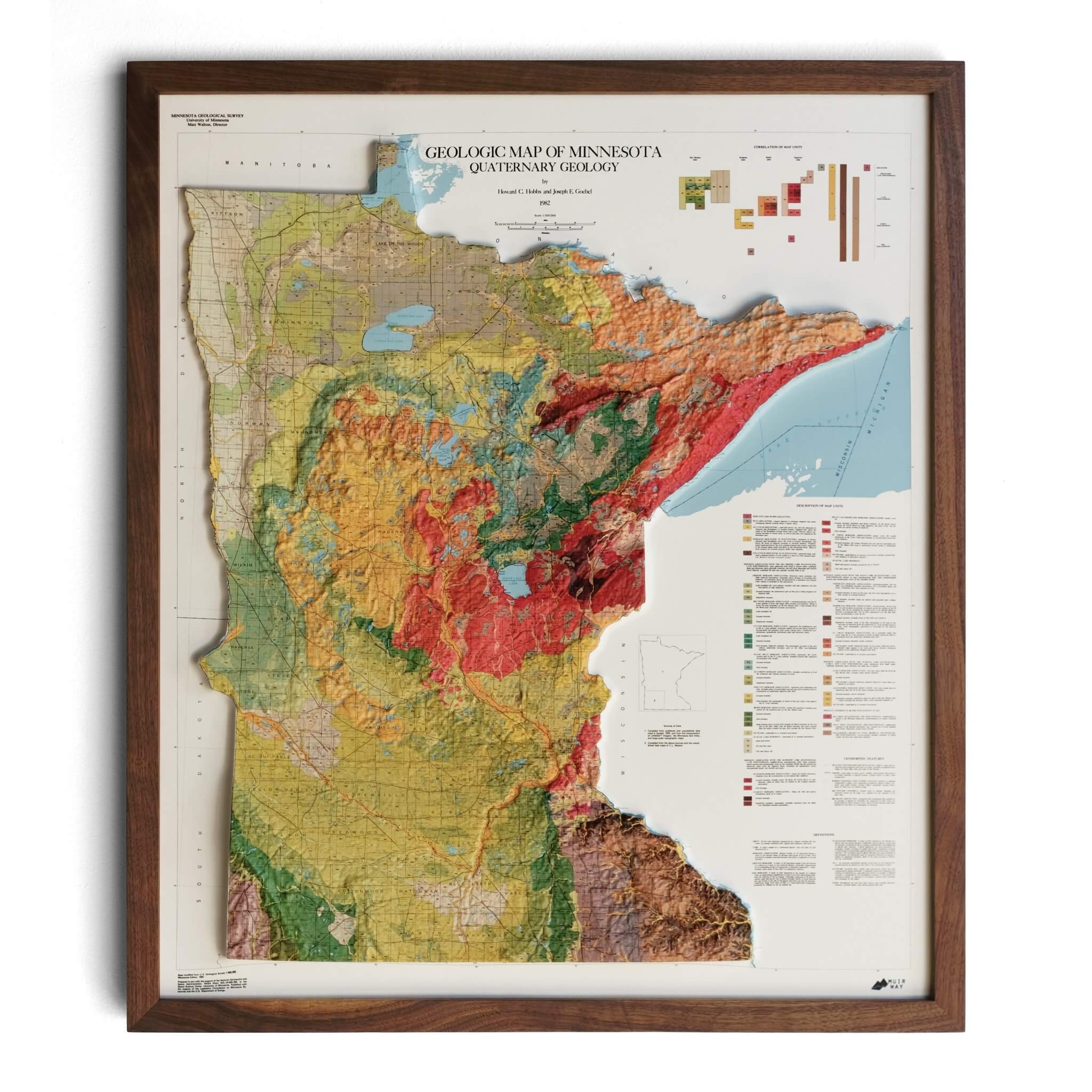


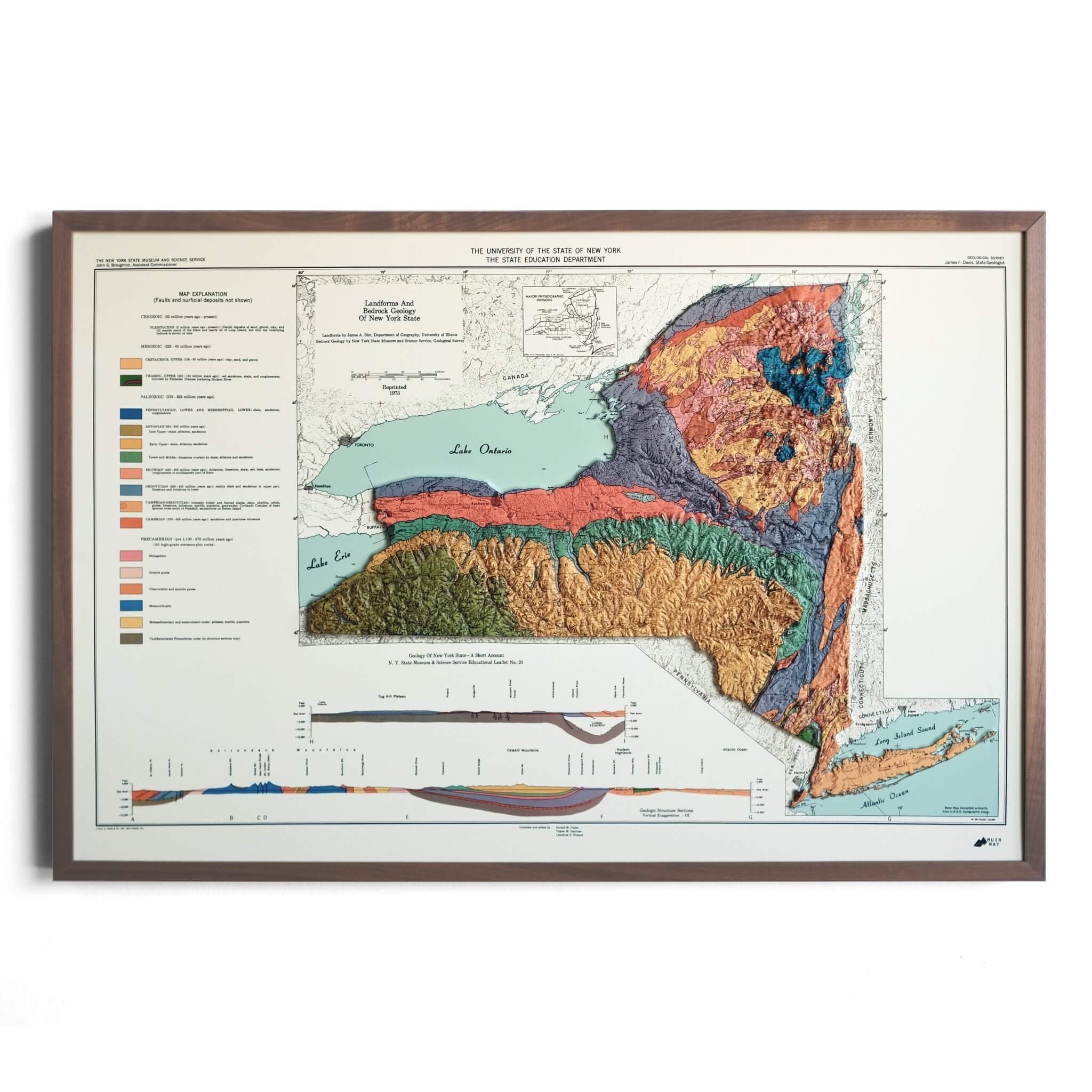
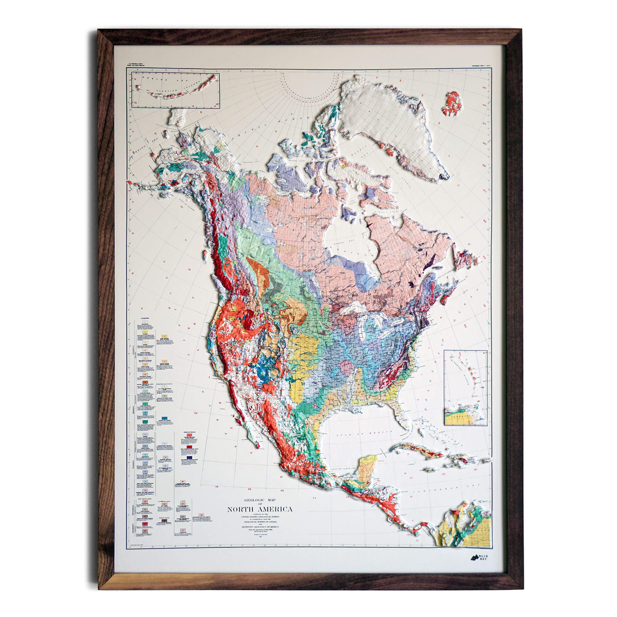
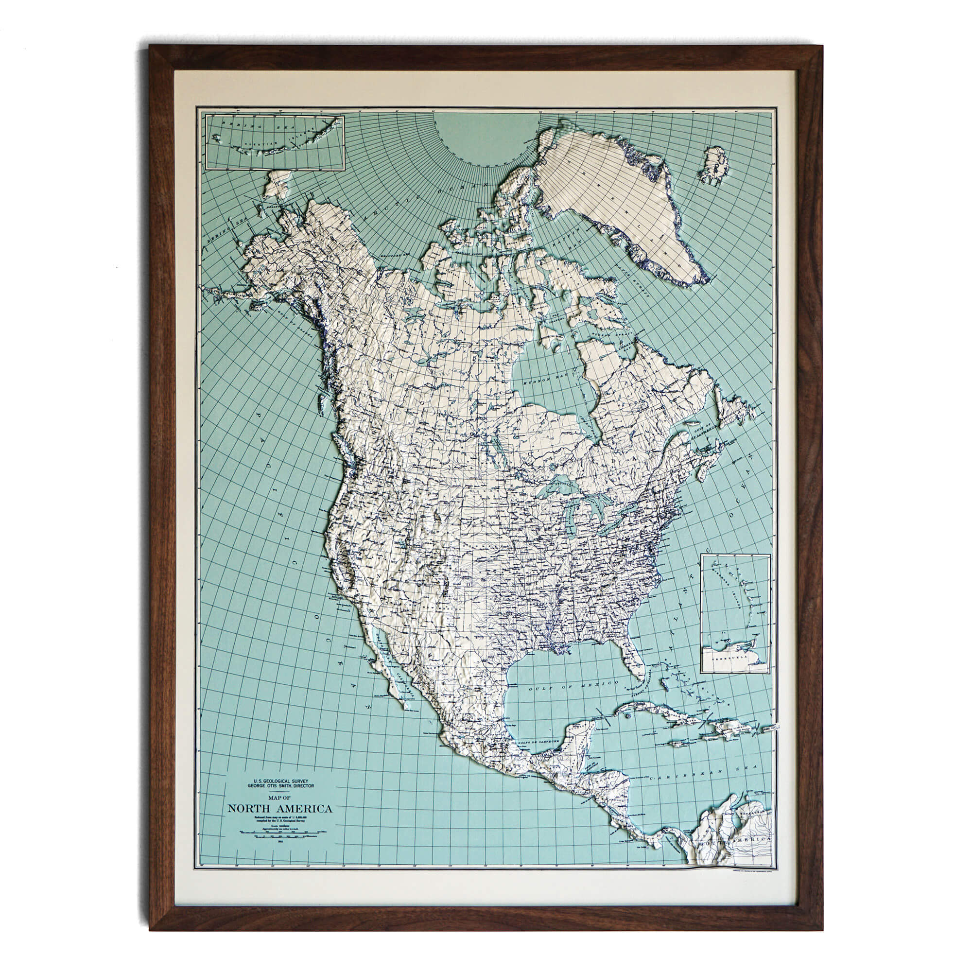
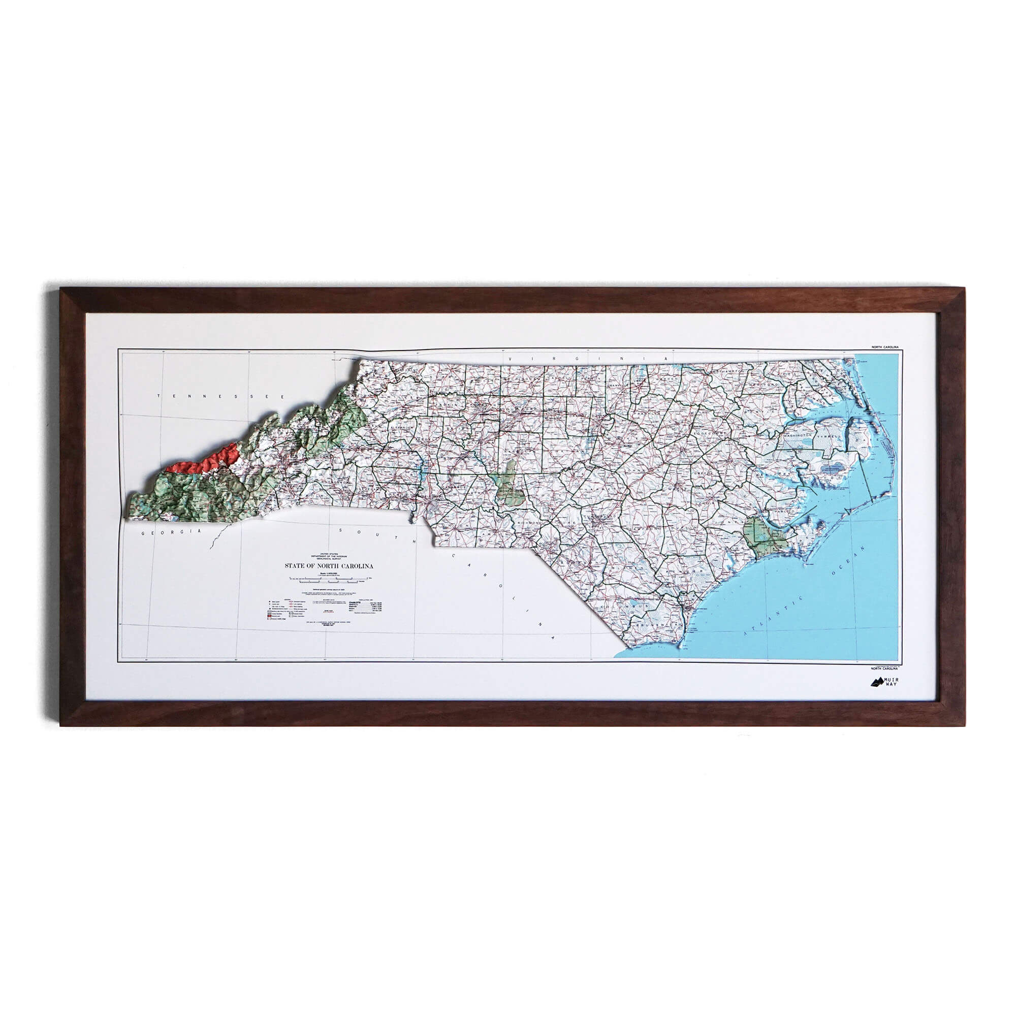

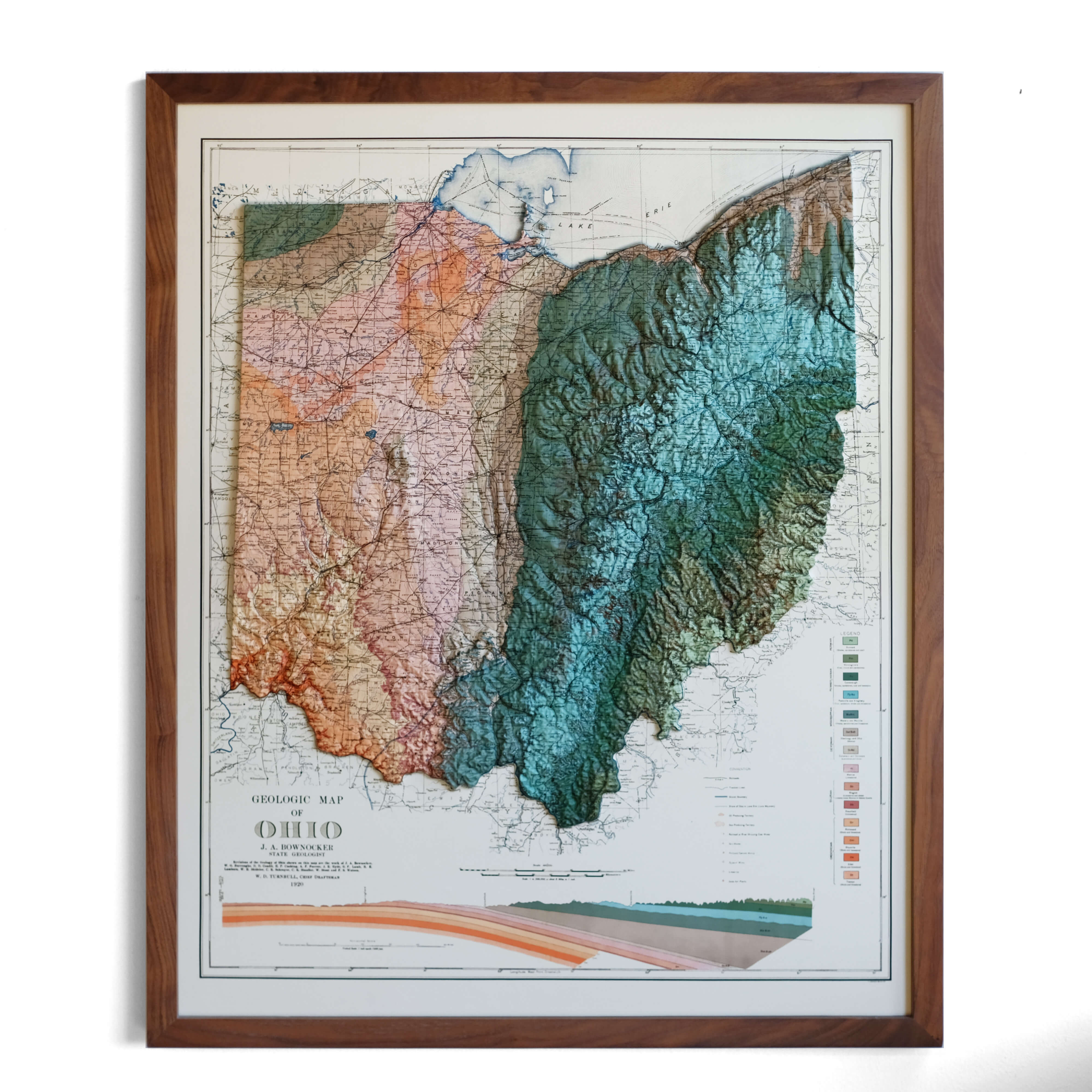
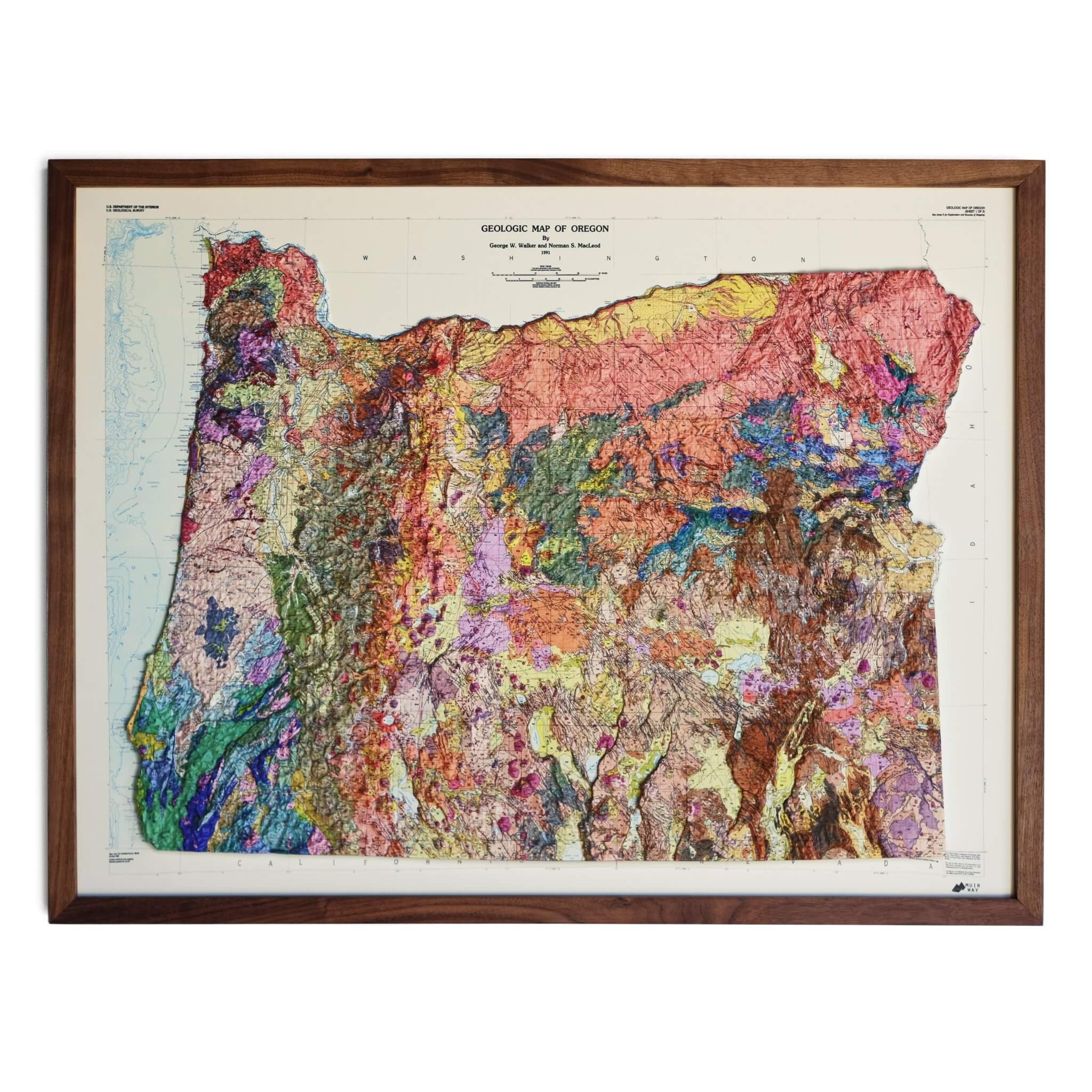
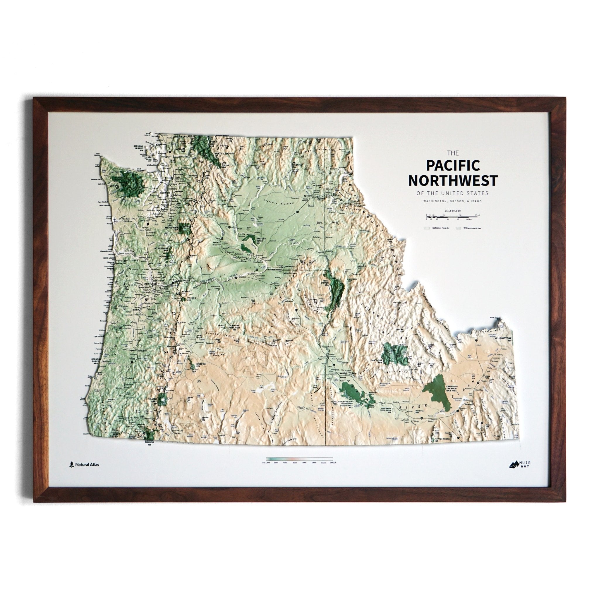
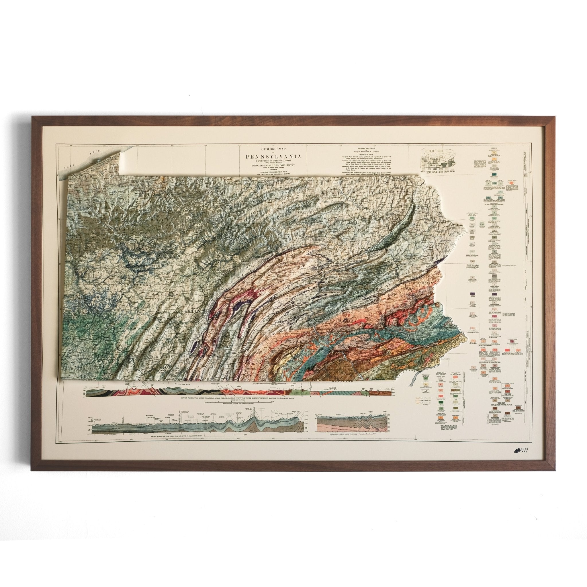
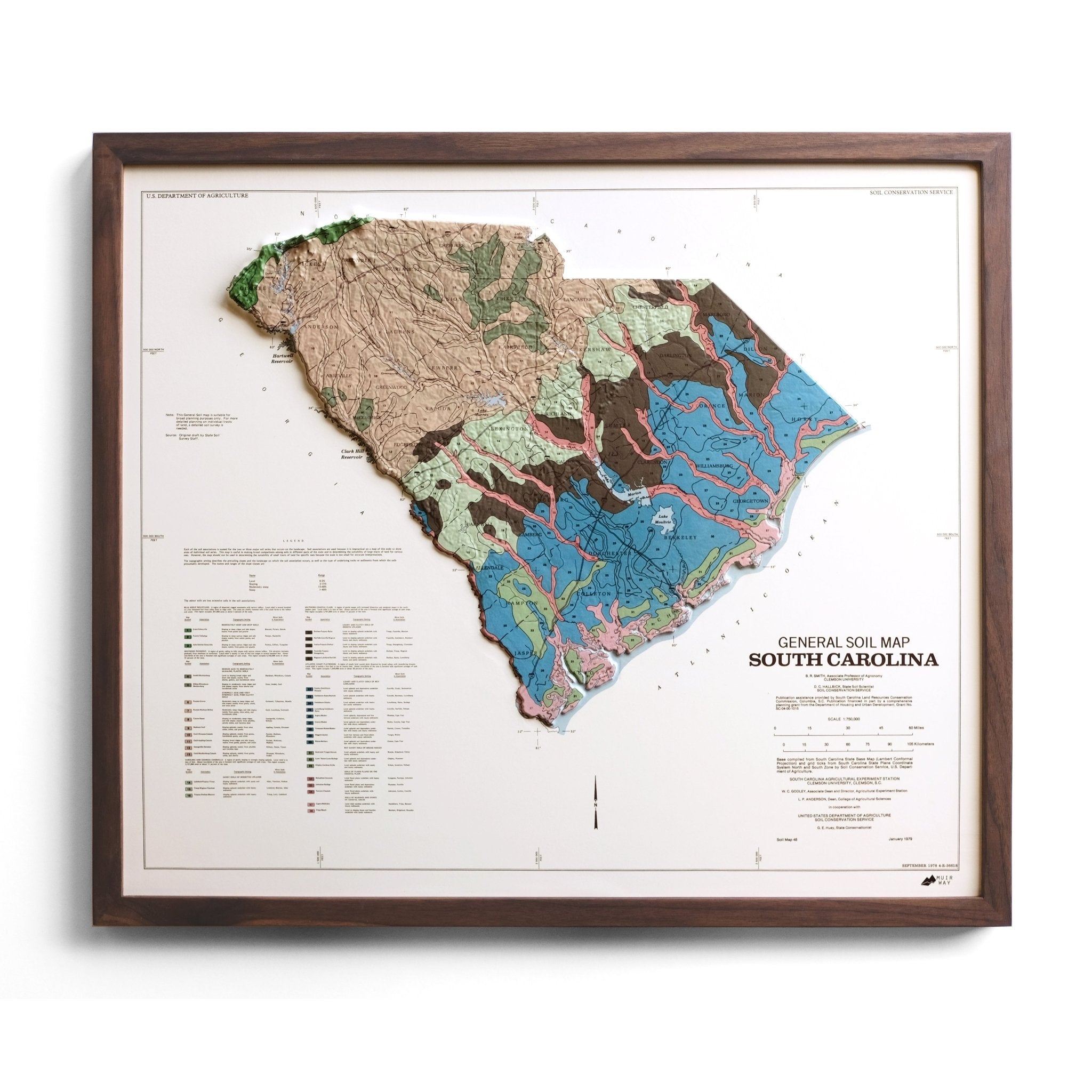
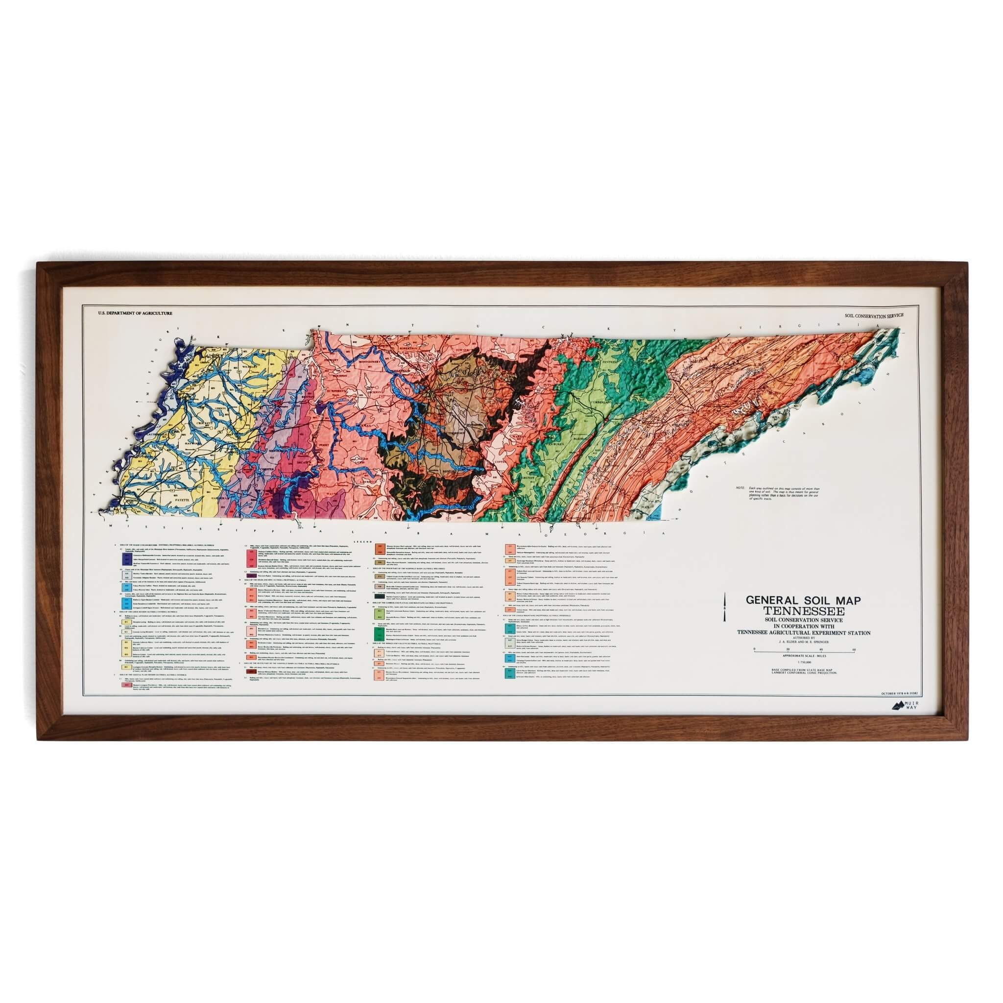
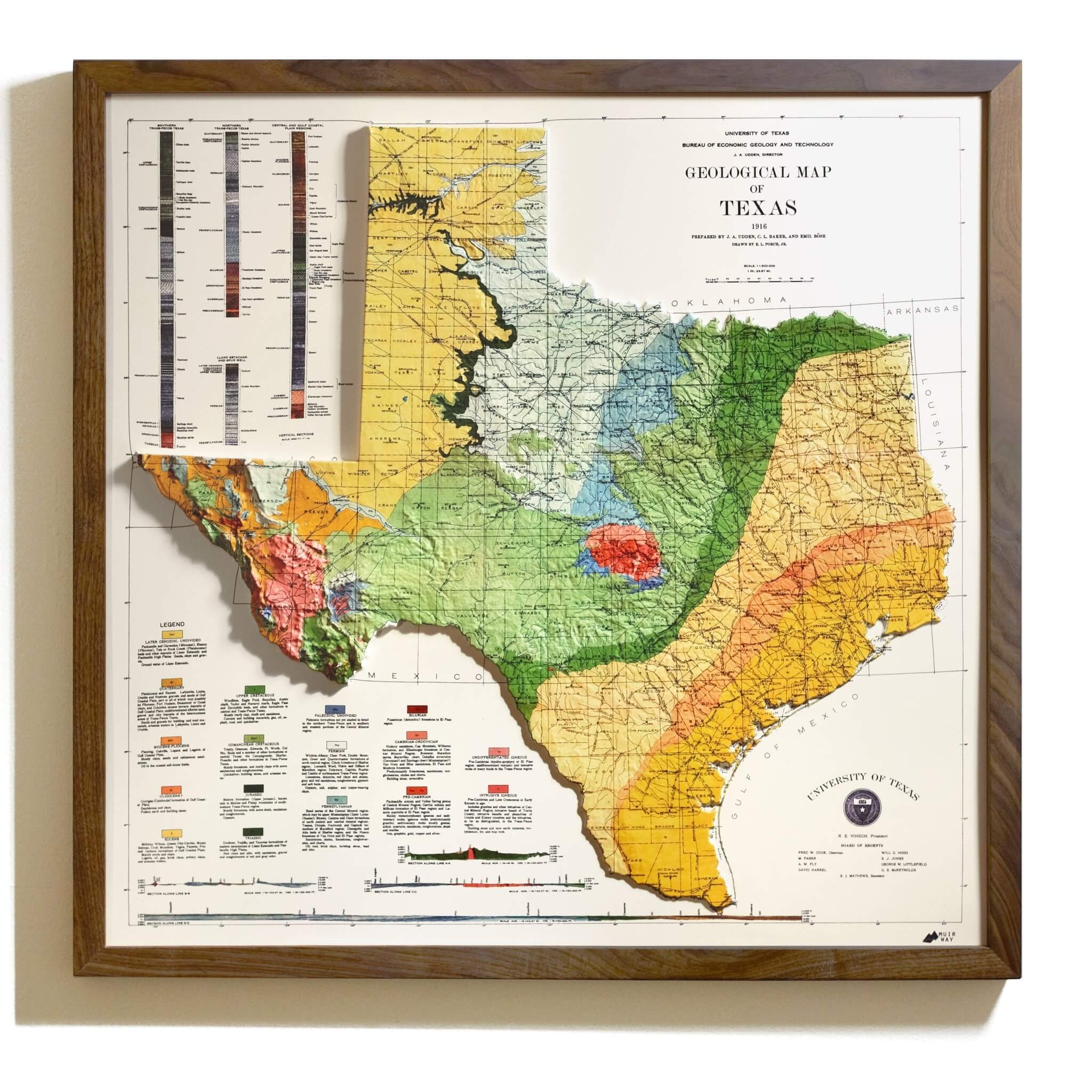
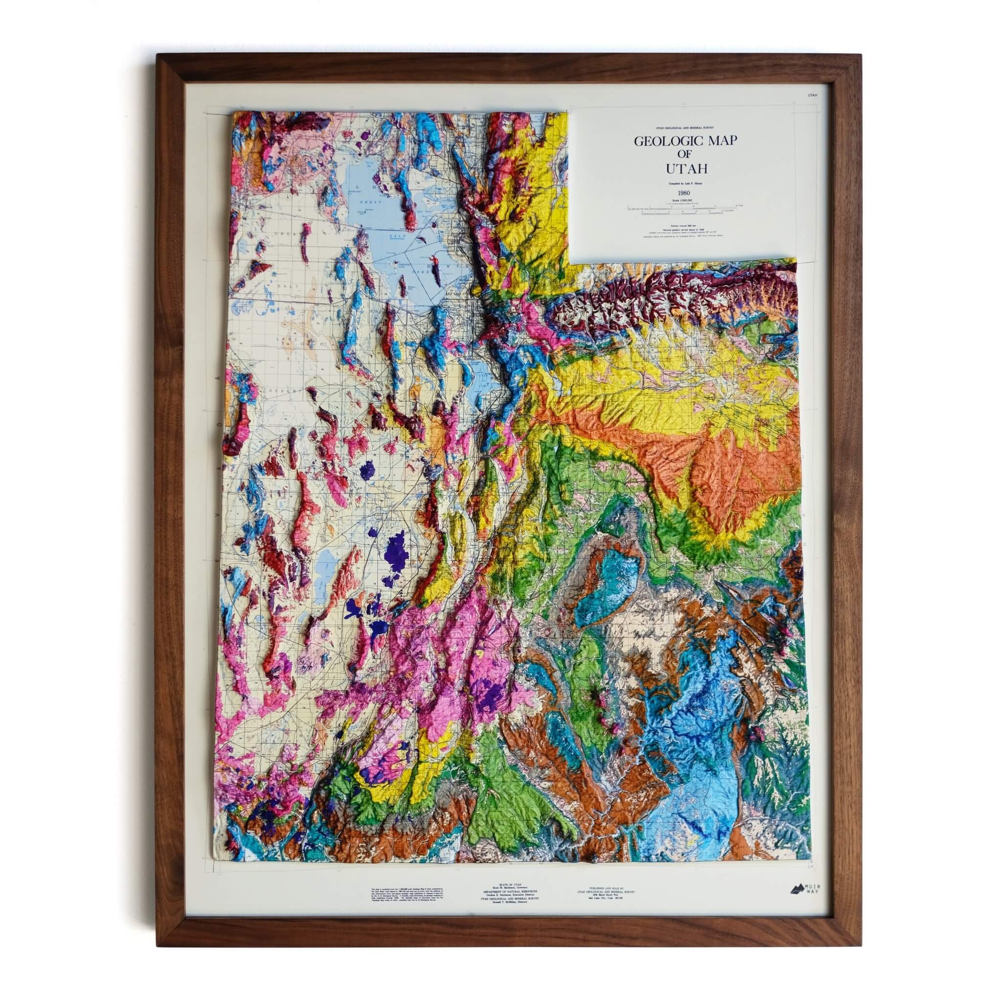
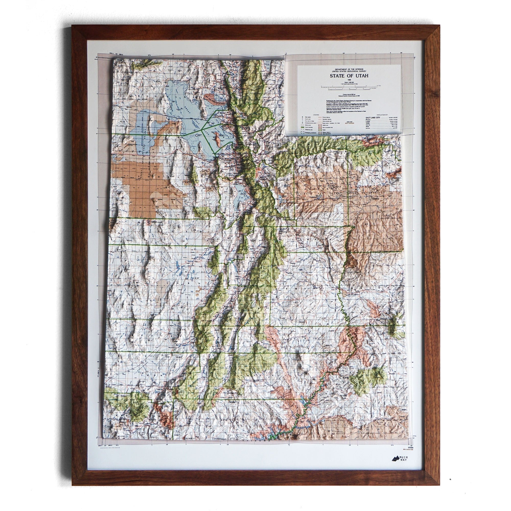
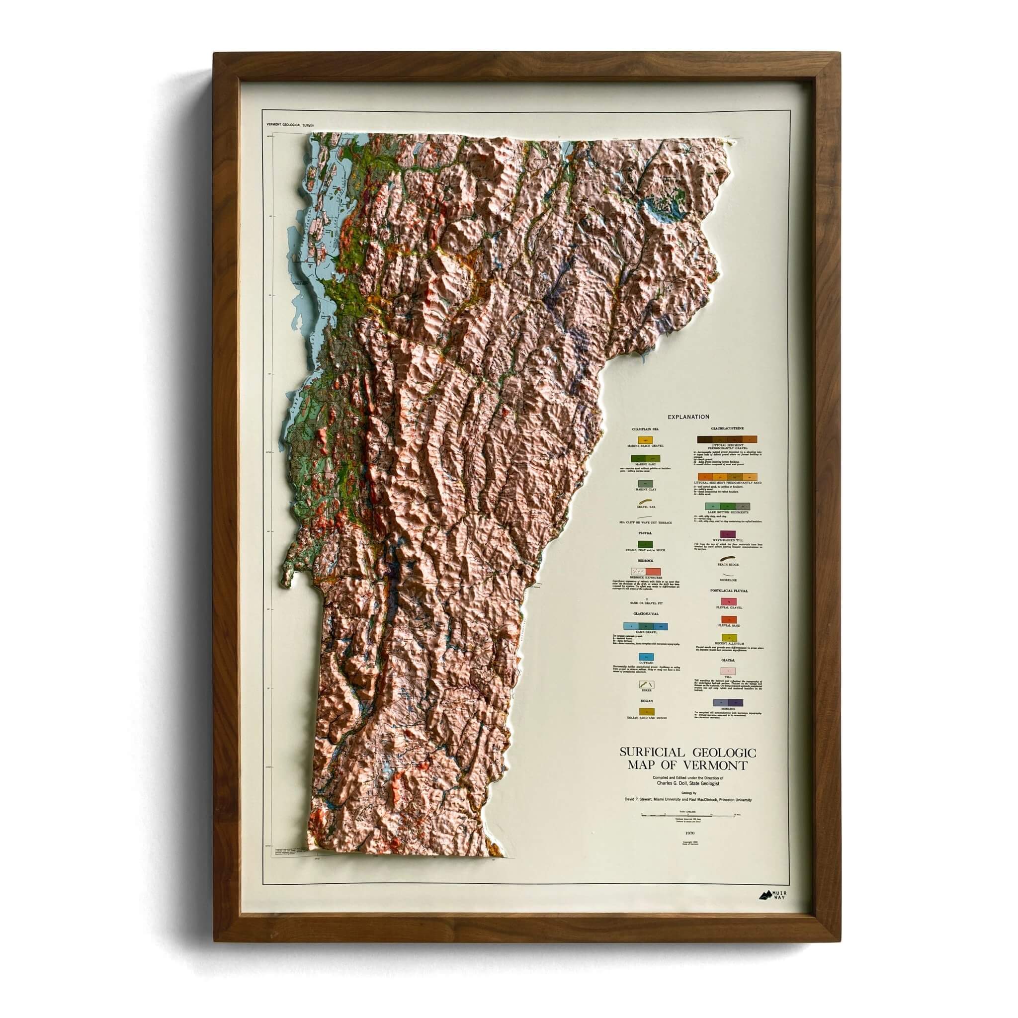
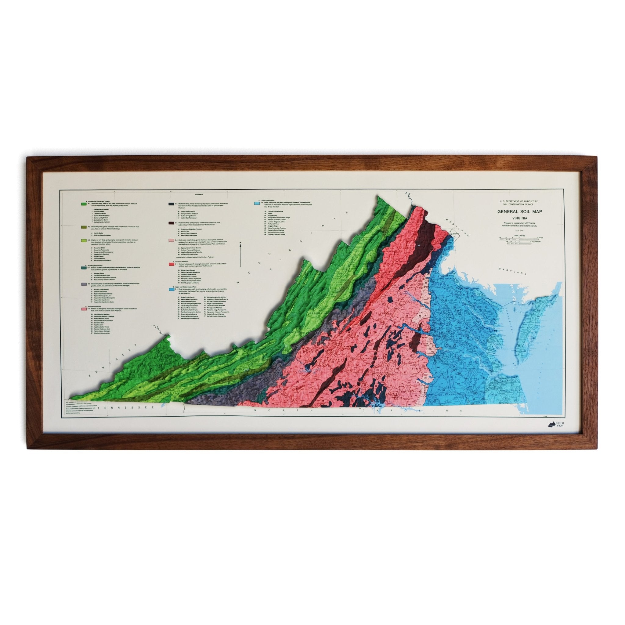
The maps in our 3D Raised Relief Collection started out as traditional flat historical maps. To transform the maps, we digitally scan them and georeference them to build detailed 3D molds for thermoforming. They are then heated and vacuumformed onto the mold. After they are formed, we remove them from the mold and mount them onto foam board. The result is a map that is sculpted so the terrain rises from the surface, offering both a visual and a tactile way to explore it.
These 3D raised relief maps are only available from Muir Way. We have refined and enhanced the traditional process to create a much higher level of raised relief maps than ever before. We are the only company that creates 3D versions of historical maps. The classic aesthetic of the vintage maps, plus the raised terrain, makes for a special map. They help to easily understand how mountain ranges, river valleys, and plateaus shape the land. The result is a unique piece of wall art that brings together geography, craftsmanship, and the enduring appeal of historic maps.
