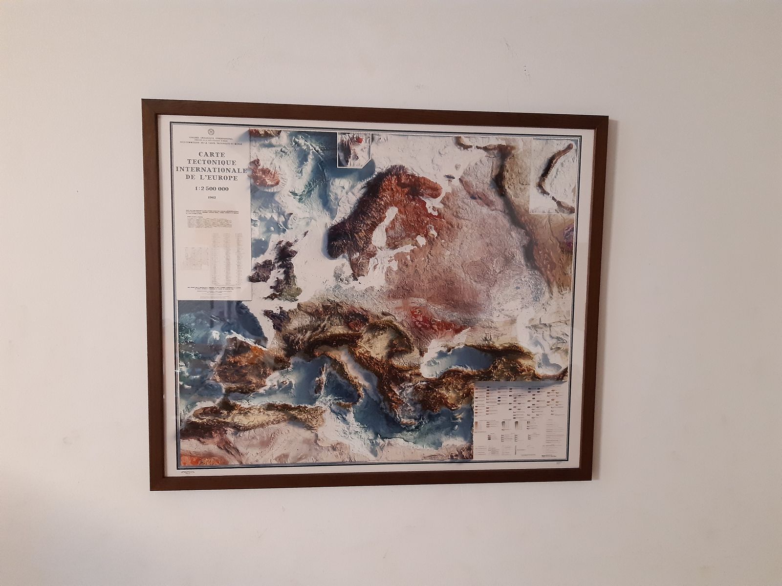
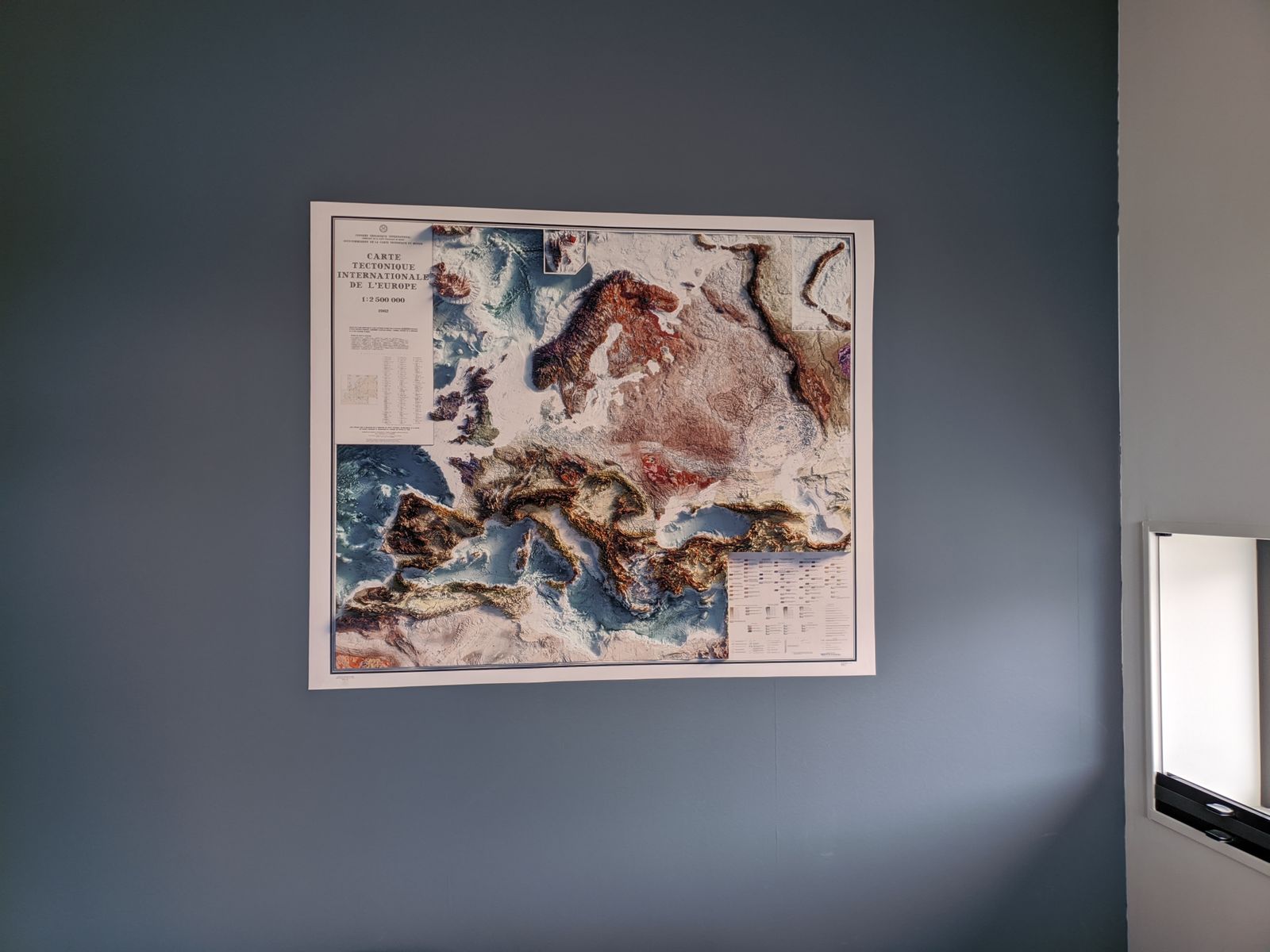
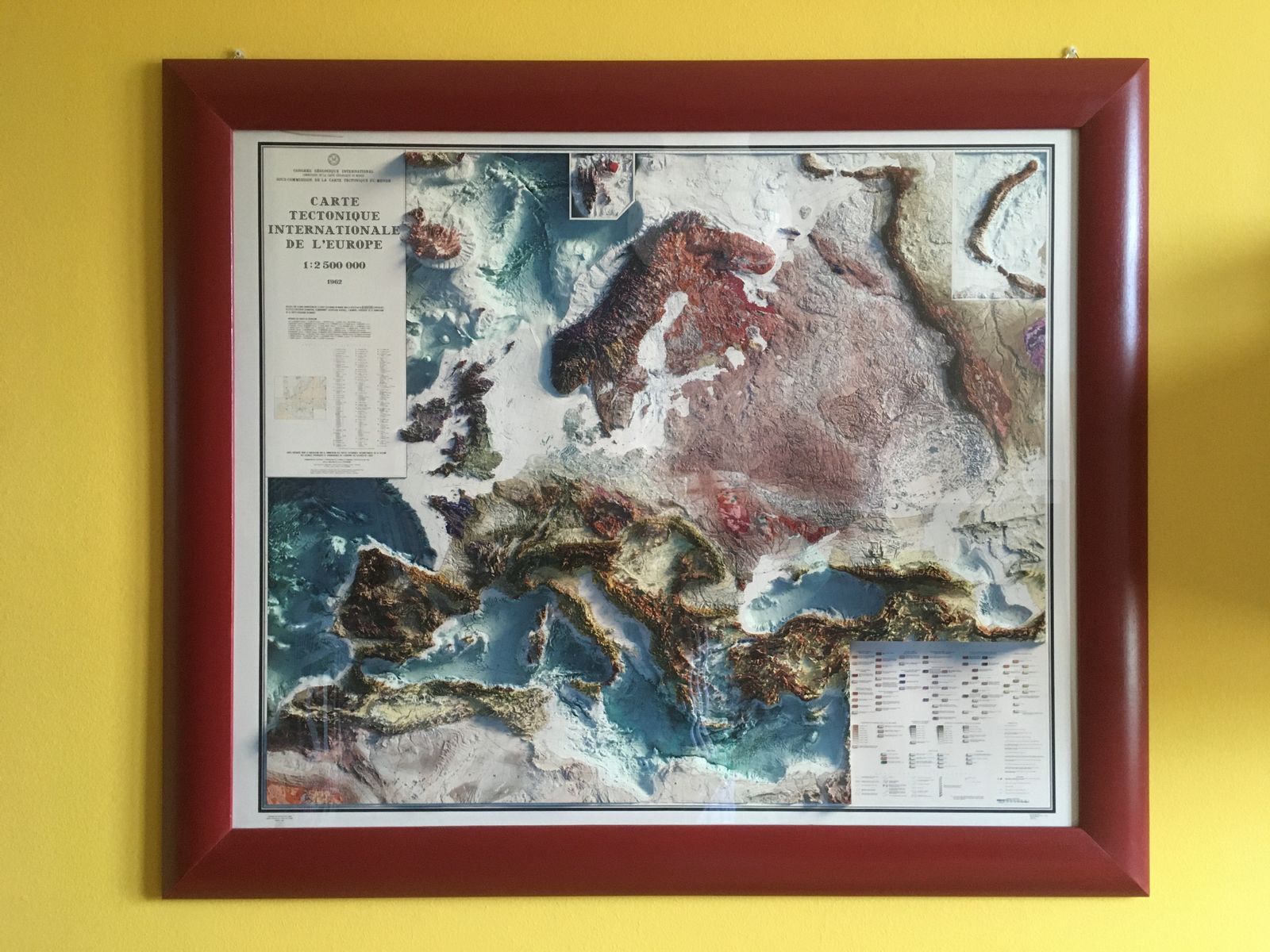
A tectonic map is a cousin of the more familiar geologic map — instead of individual rock formations, its colors mark the deep structural provinces of the crust, chosen for clarity rather than effect. But set side by side across an entire continent, those provinces trace something close to a portrait of Europe's whole geologic history: the ancient, stable craton underlying Scandinavia and much of Eastern Europe — among the oldest rock on the continent — appears as a broad, calm block of color, while the younger Alpine fold belt across the south breaks into a tight, colorful tangle of ribbons, each one a sliver of crust thrust up when Africa collided with Europe.
In 1962, at the height of the Cold War, geologists from across that divided continent set aside politics to produce this map together. Commissioned by the International Geological Congress's World Tectonic Map Sub-Commission and prepared for publication by the USSR Academy of Sciences, it combined survey data from institutes on both sides of the Iron Curtain into a single, unified picture of Europe's deep structure.
We georeferenced the original 1962 map and applied modern digital elevation data to add true shaded relief to the landscape. The shading is printed flat on the paper — not raised or textured — so it frames and hangs like any fine art print.
Available with or without bathymetry — the added terrain below sea level, built from sonar-derived data. Sonar surveys of the seafloor are incomplete in places, so you may notice occasional lines or gaps where the original data falls short; these are inherent to the historical dataset and not something we're able to correct.
Available unframed, or framed in black or walnut.
Note on legibility: text on the original map is small and can be difficult to read given the map's age. In areas where the relief shading is darkest, the underlying labels are not legible. We recommend the largest available size for the best detail.