Skip to content
Facebook
Instagram
Pinterest
FREE SHIPPING ON ORDERS OVER $49
Country/Region
United States (USD $)
United States (USD $)
Best Sellers
3D "Factory Seconds" Sale
Shop by Region
Shop by Type
Historical Prints
Home Goods
About Us
Search for your map
Account
Cart
Popular Collections
Best Sellers
Shop by Region
Maps of USA
State Maps
International Maps
National Park Maps
Shop by Type
3D RAISED Relief Maps
Hydrological Maps
Custom Wood Carved Map
Regular price
From
$ 300.00 USD
5.0 / 5.0
3 reviews
Vintage Shaded Relief Maps
Elevation Maps
Natural Atlas
TOPO Series
National Parks Series
Shaded Relief Series
Range Series
Digital Gift Card
Regular price
From
$ 20.00 USD
5.0 / 5.0
5 reviews
Walnut Frames "Factory Seconds"
Historical Prints
1884 Fish Drawings
1875 Zoology Lithographs
1868 Yosemite Photographs
1873 Yellowstone Photographs
1874 Moon Photography
Astronomy
Civil War Maps
Historical Nautical Charts
Vintage Maps - Misc
USGS Quadrant Maps
1876 State Map Collection
1876 Geologic & Topographic
1883 US State Maps
1904 Yellowstone Maps
1906 Hawaiian Islands Maps
Apparel/Home Goods
Glasses
Books
Tees
Hats
Blankets
Walnut Frame for 3D Raised Relief Map
Regular price
From
$ 220.00 USD
5.0 / 5.0
1 review
About Us
Our Story
Reviews
FAQs
Shipping and Returns
Contact Us
Best Sellers
3D "Factory Seconds" Sale
Shop by Region
USA Maps
State Maps
International Maps
National Park Maps
Shop by Type
Collections
3D RAISED Relief
2D Vintage Shaded Relief
Hydrology Series
Custom Maps
Golf Courses - 3D Wood
2D Elevation Relief
Natural Atlas Maps
TOPO Series
National Park Series
2D Shaded Relief
Mountain Range
Gift Cards
Walnut Frames
3D RAISED Relief Maps
Hydrological Maps
3D Raised Relief
Historical Prints
Illustrations and Photographs
1884 Fish Drawings
1875 Zoology Drawings
1868 Yosemite Photos
1873 Yellowstone Photos
1874 Moon Photos
Historical Maps
Astronomy
Civil War Maps
Nautical Maps
Assorted Vintage
USGS Quadrant Maps
1876 State Maps
1876 Geologic/Topographic
1883 State Maps
1904 Yellowstone Maps
1906 Hawaii Maps
1884 Fish Drawings
Civil War Maps
Astronomy
Astronomy
Home Goods
Mountain Glasses
Field Guides
Books
Tees
Hats
Topo Blankets
Walnut Frames
Mountain Glasses
Tees
Books
About Us
Our Story
Reviews
FAQs
Shipping and Returns
Contact Us
Vintage Map Best Sellers
Filter
Sort by
Best selling
Most relevant
Best selling
Alphabetically, A-Z
Alphabetically, Z-A
Date, old to new
Date, new to old
Filters
Sort by
Most relevant
Best selling
Alphabetically, A-Z
Alphabetically, Z-A
Date, old to new
Date, new to old
Apply
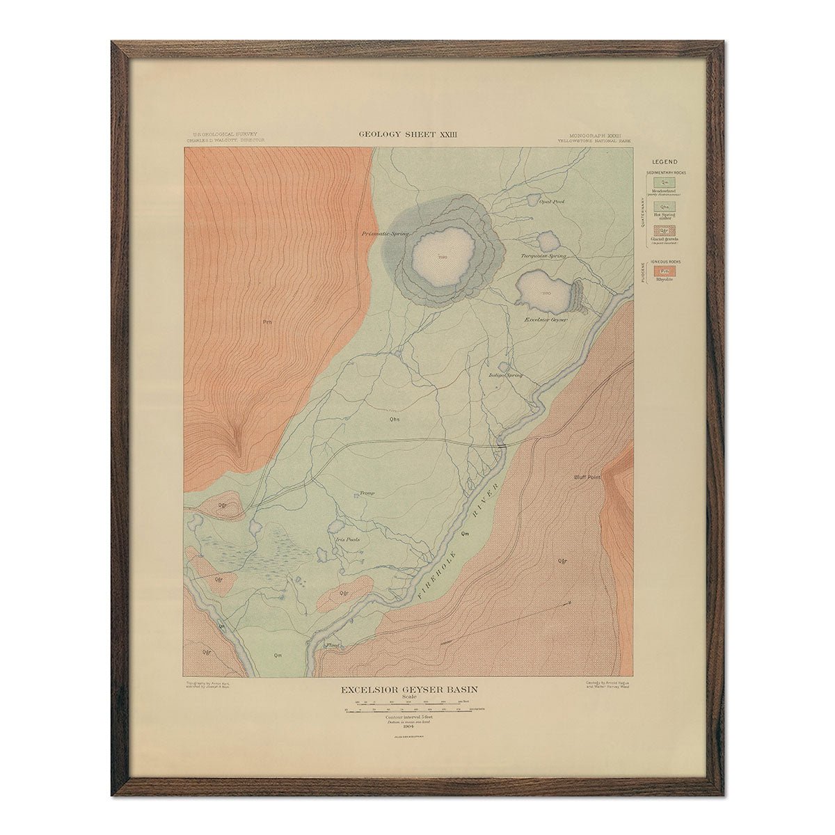
Yellowstone Geologic Map of Excelsior Geyser Basin 1904 Map
Regular price
From
$ 64.00 USD
5.0 / 5.0
1 review
Yellowstone Topographic Map of Crandall 1904 Map
Regular price
From
$ 64.00 USD
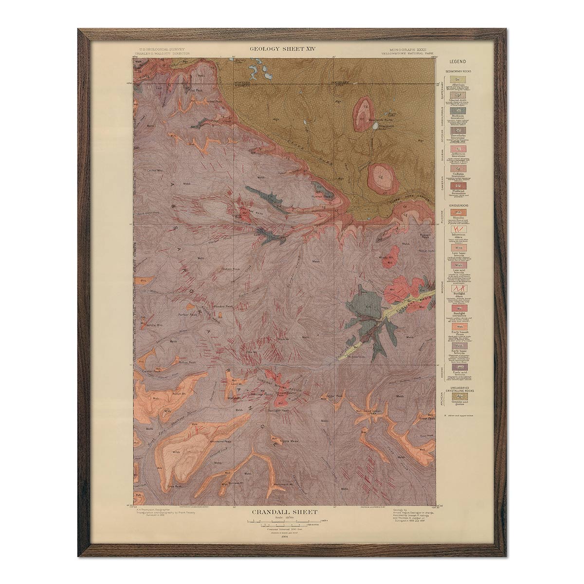
Yellowstone Geologic Map of Crandall 1904 Map
Regular price
From
$ 64.00 USD
Nevada Plateau 1876 Topographic Map
Regular price
From
$ 69.00 USD
5.0 / 5.0
4 reviews
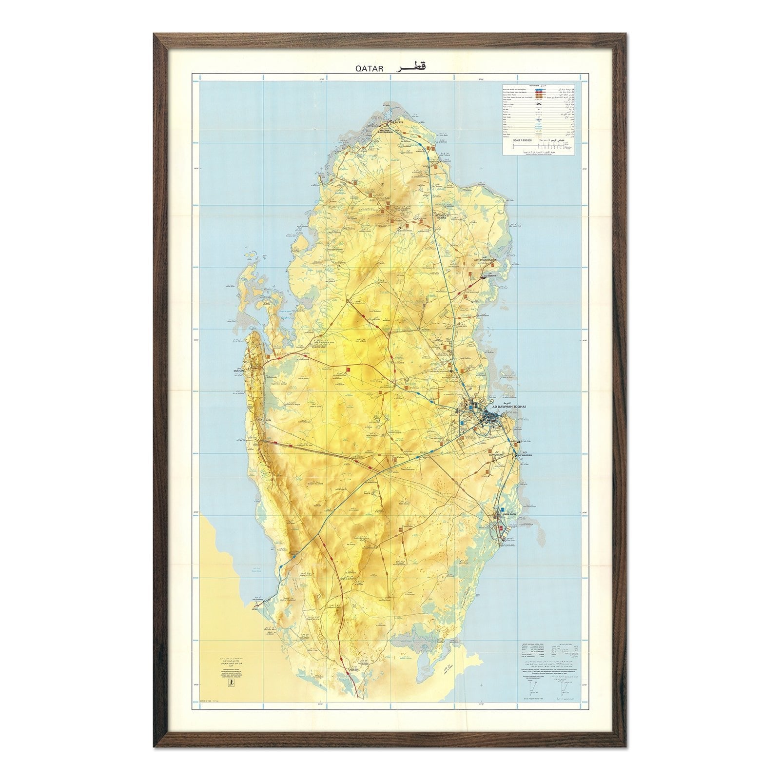
Qatar 1982 Map
Regular price
From
$ 89.00 USD
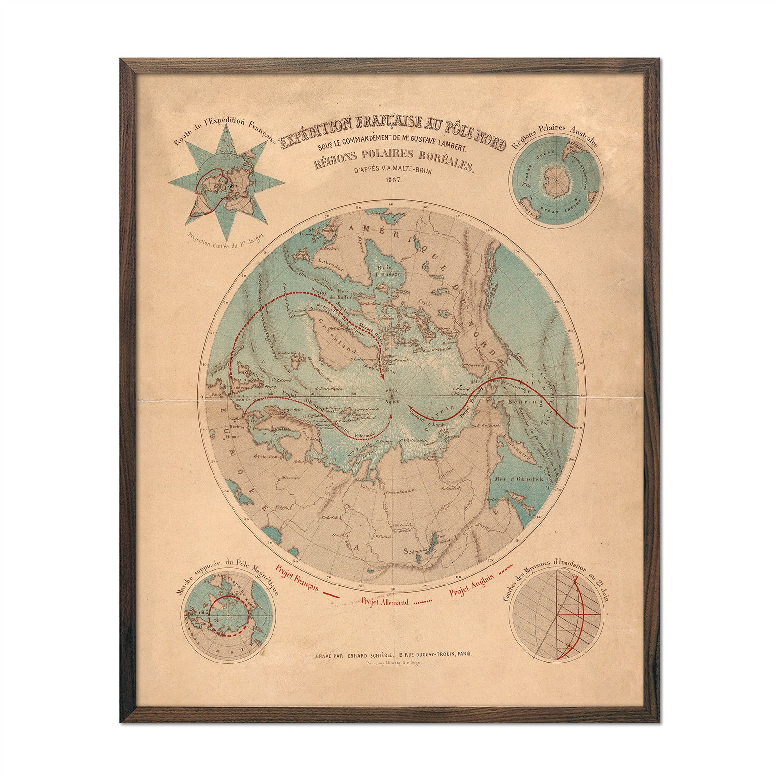
Expedition Francaise Au Pole Nord
Regular price
From
$ 64.00 USD
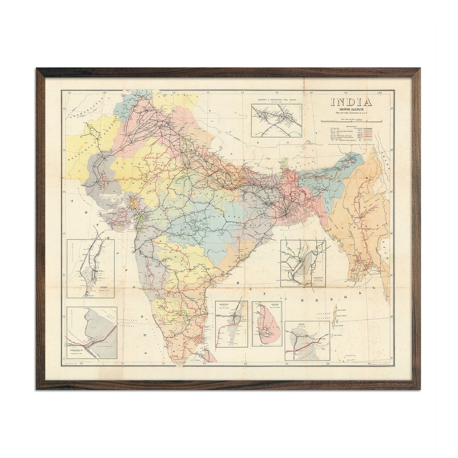
India Railways Map
Regular price
From
$ 79.00 USD
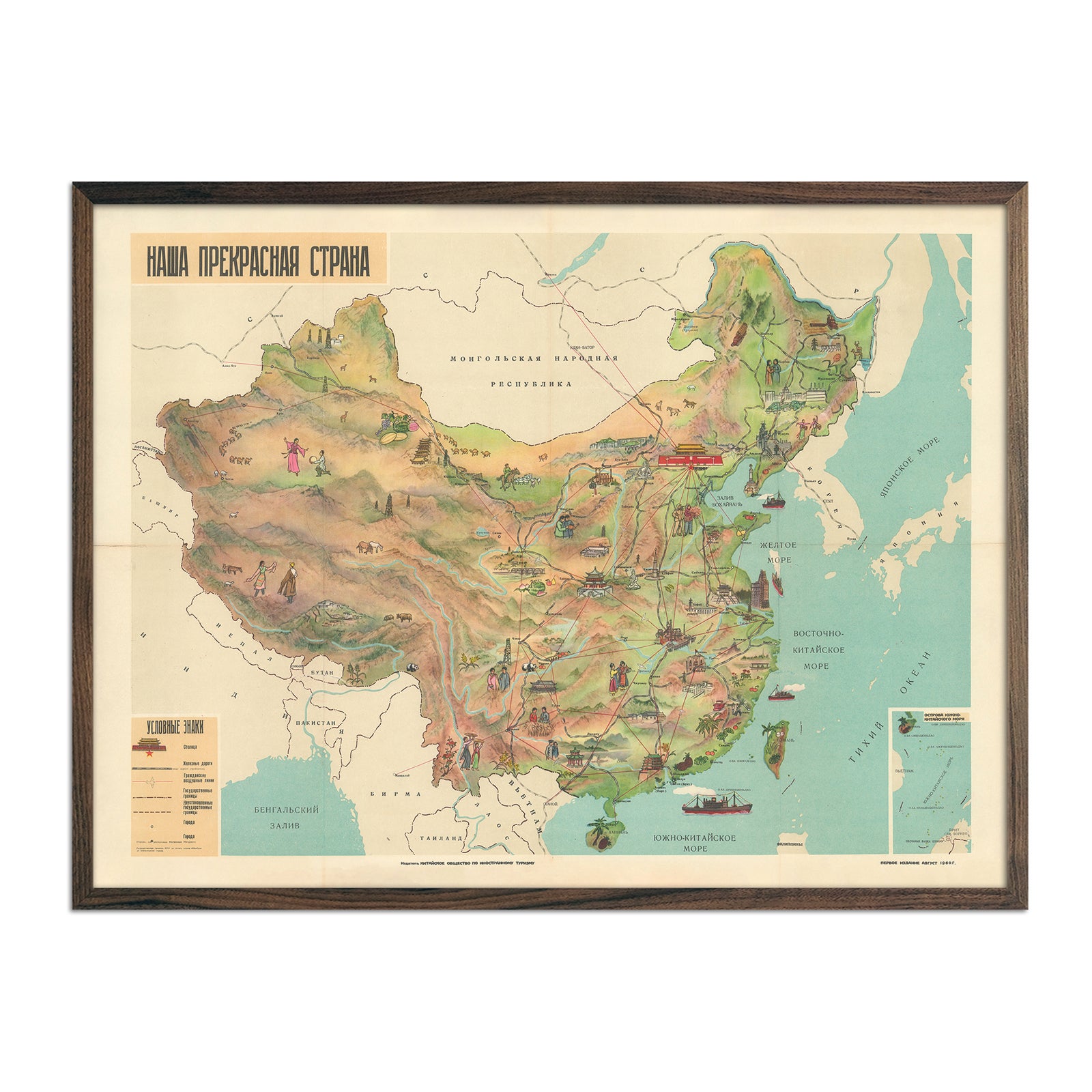
Our Beautiful Motherland China
Regular price
From
$ 79.00 USD
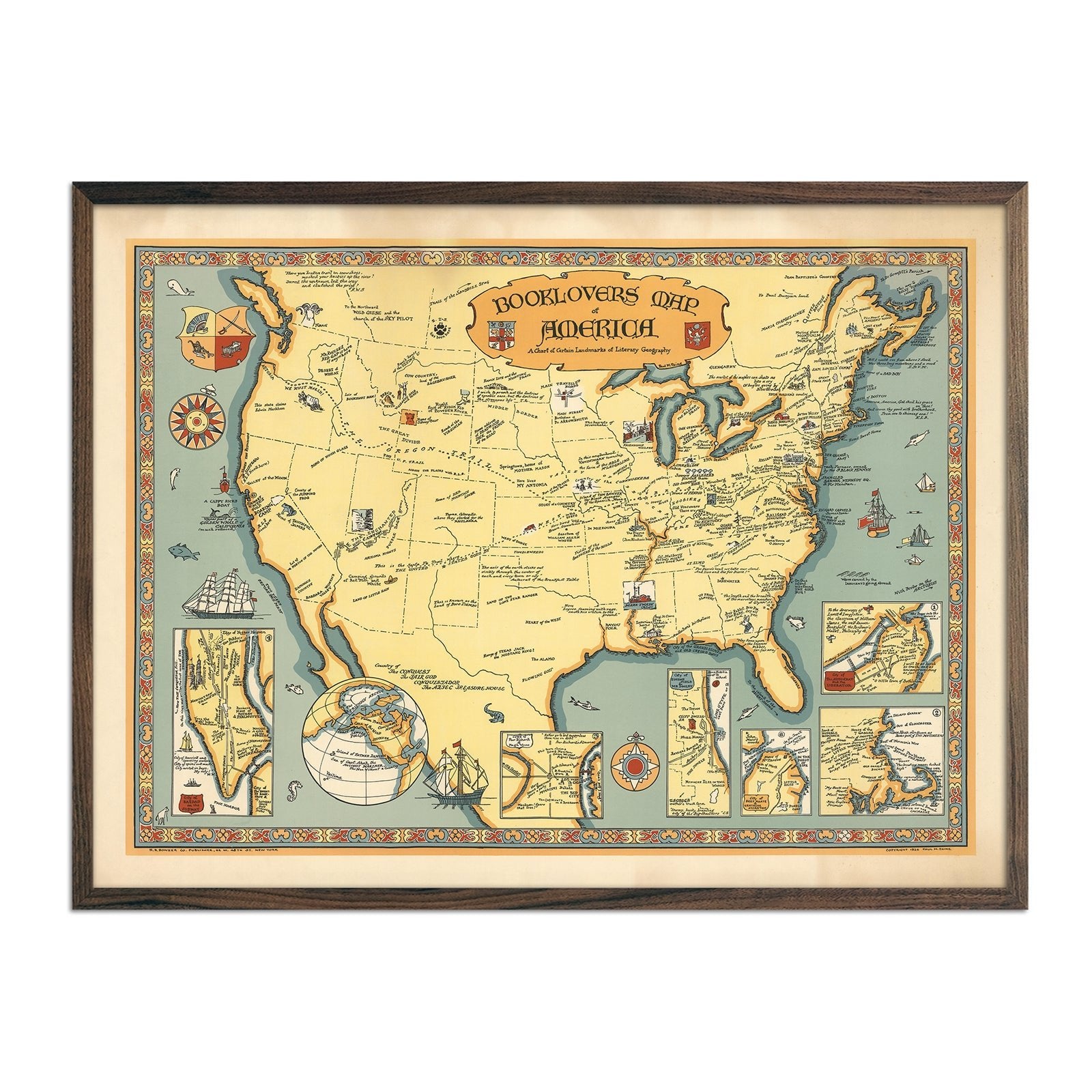
Booklovers Map of America
Regular price
From
$ 79.00 USD
Chevron Trail through the Scenic West
Regular price
From
$ 69.00 USD
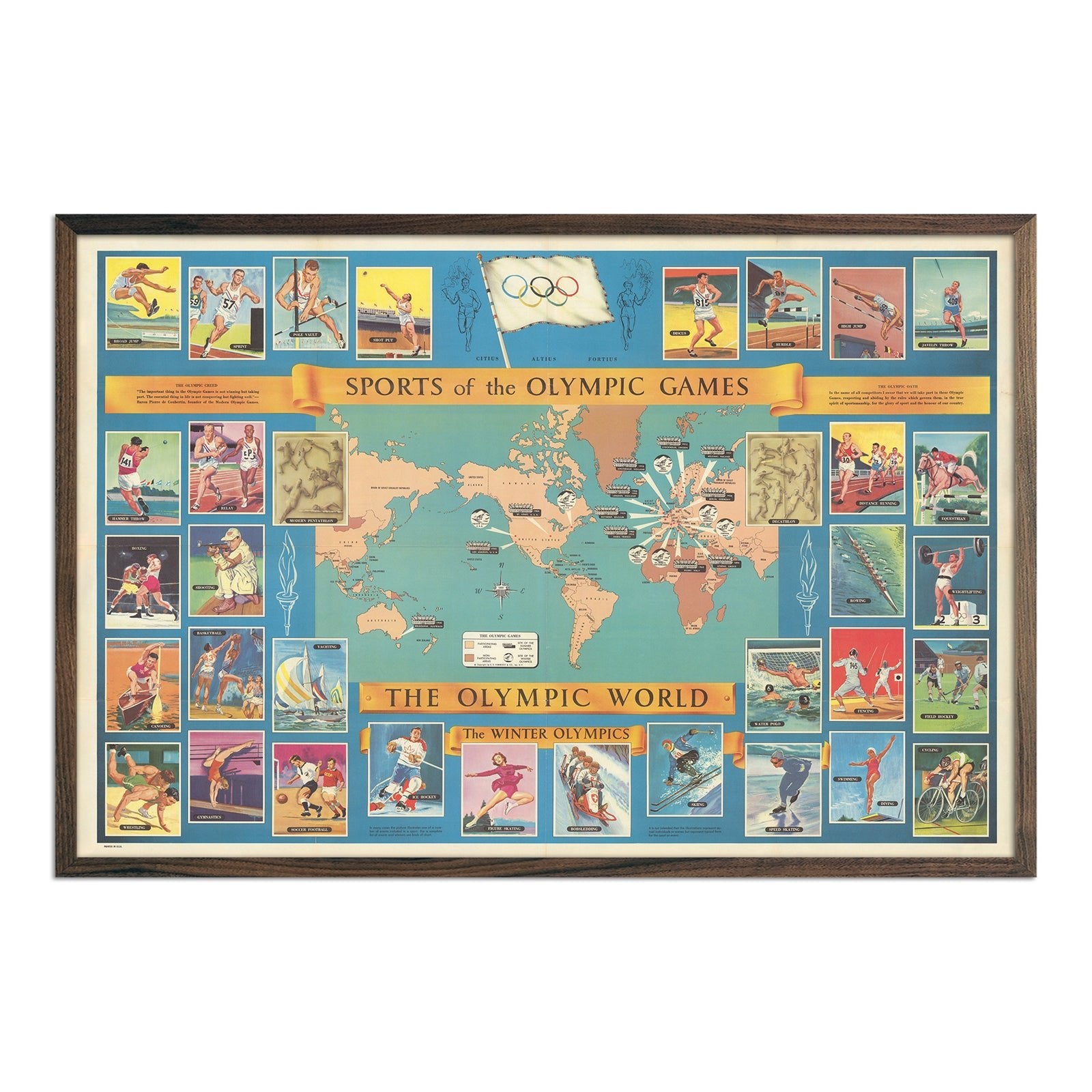
Sports of the Olympic Games
Regular price
From
$ 69.00 USD
Kyoto 1960 Map
Regular price
From
$ 69.00 USD
Tabriz City 1960 Map
Regular price
From
$ 69.00 USD
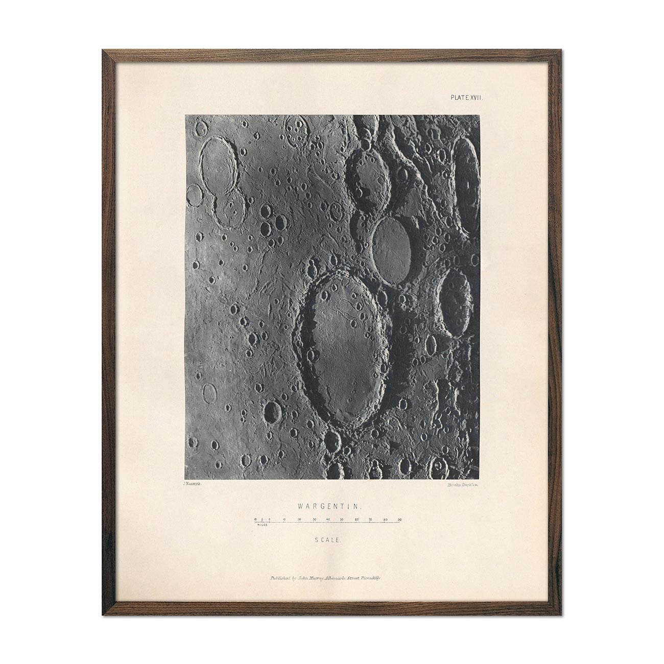
1874 Wargentin Crater Print
Regular price
From
$ 64.00 USD
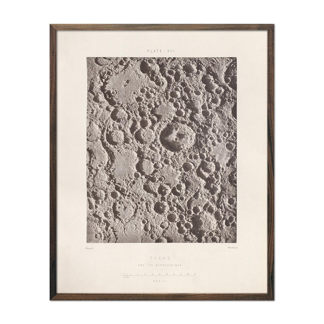
1874 Tycho Moon Crater Print
Regular price
From
$ 64.00 USD
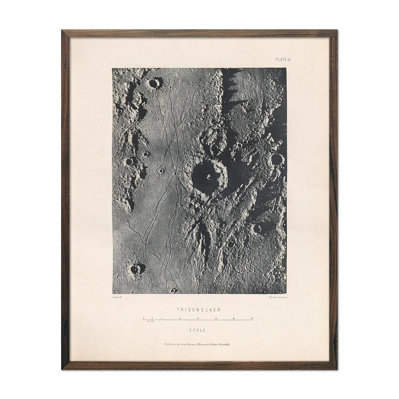
1874 Triesnecker Moon Crater Print
Regular price
From
$ 64.00 USD
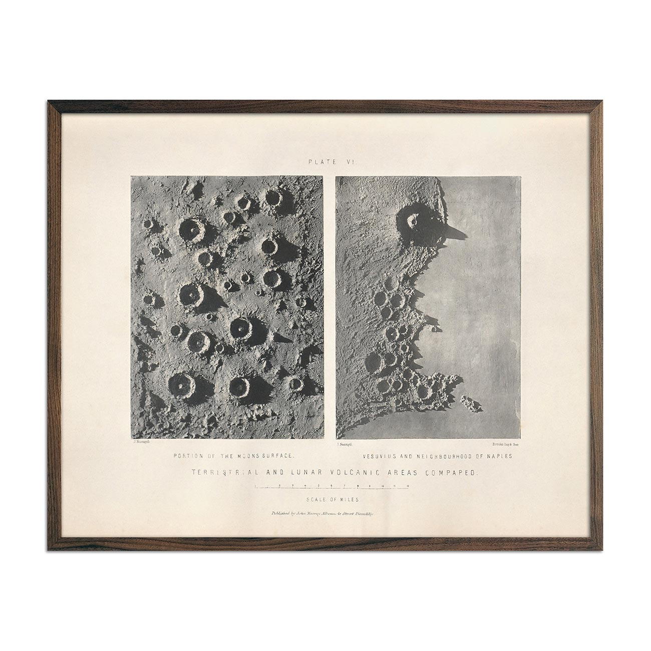
1874 Terrestrial and Lunar Volcanic Areas Compared Print
Regular price
From
$ 64.00 USD
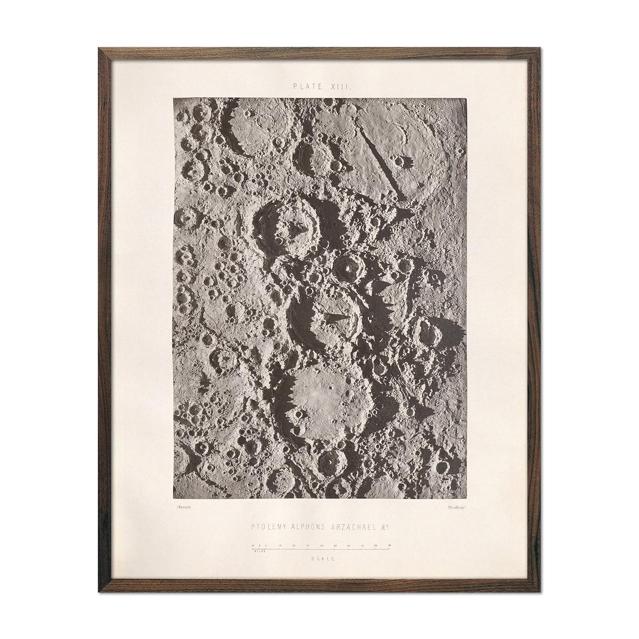
1874 Ptolemy, Alphons, and Arzachael Lunar Craters Print
Regular price
From
$ 64.00 USD
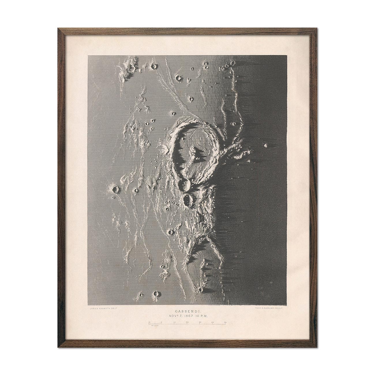
1874 Gassendi Moon Crater Print
Regular price
From
$ 64.00 USD
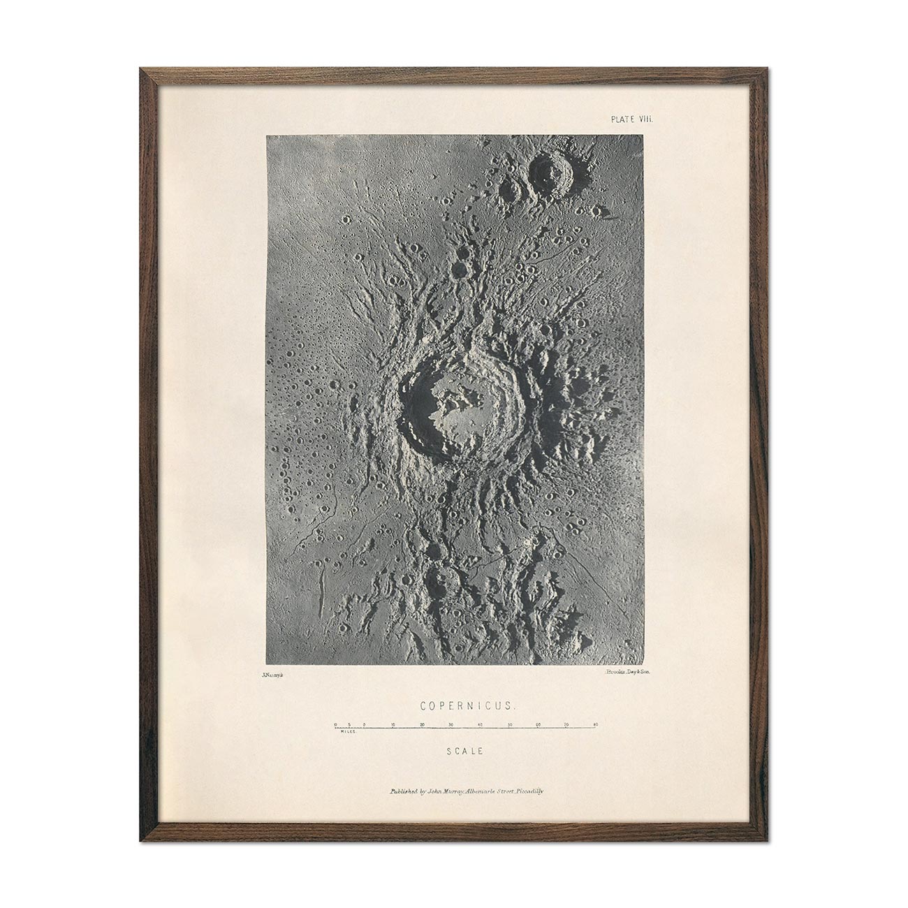
1874 Copernicus Moon Crater Print
Regular price
From
$ 64.00 USD
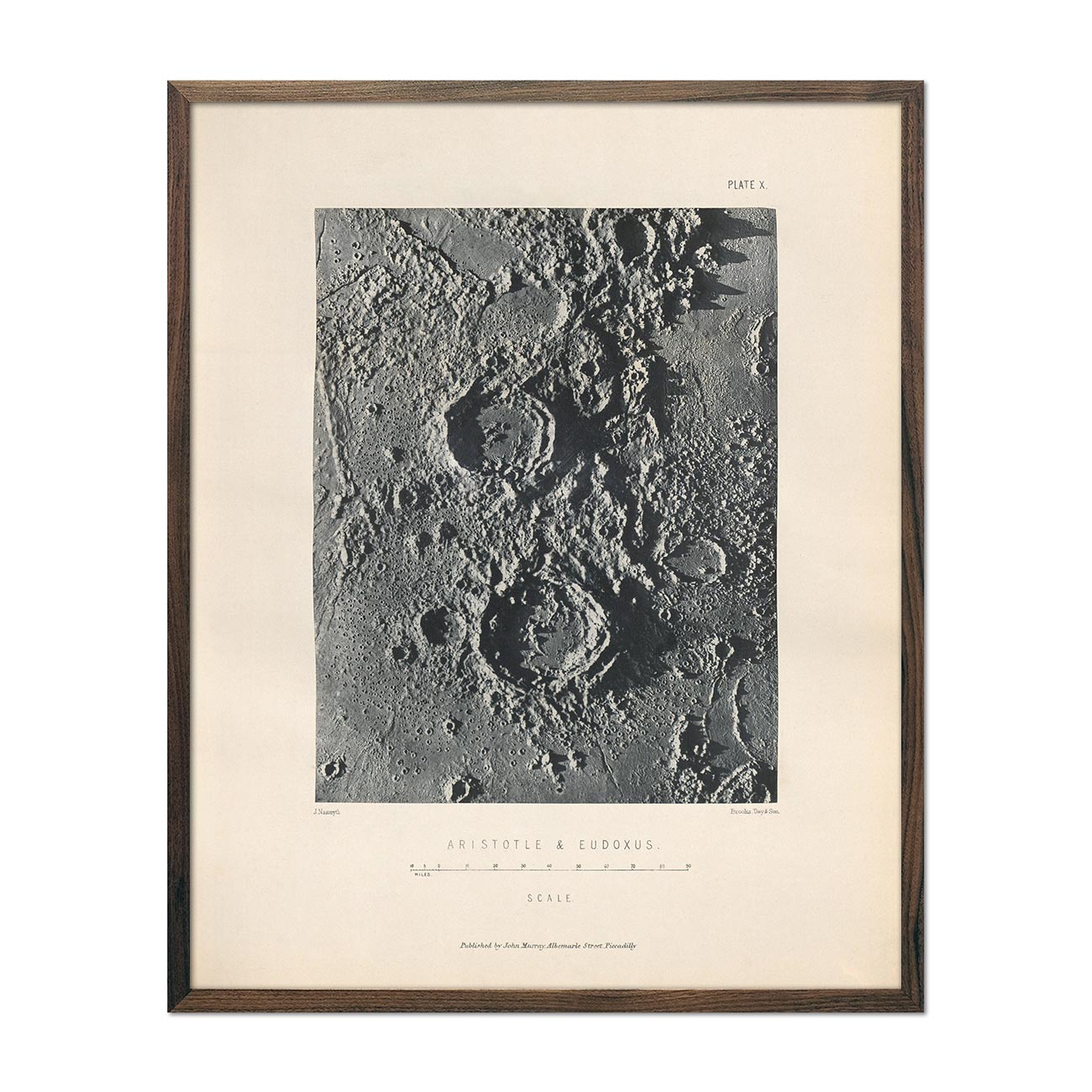
1874 Aristotle and Eudoxus Moon Craters Print
Regular price
From
$ 64.00 USD
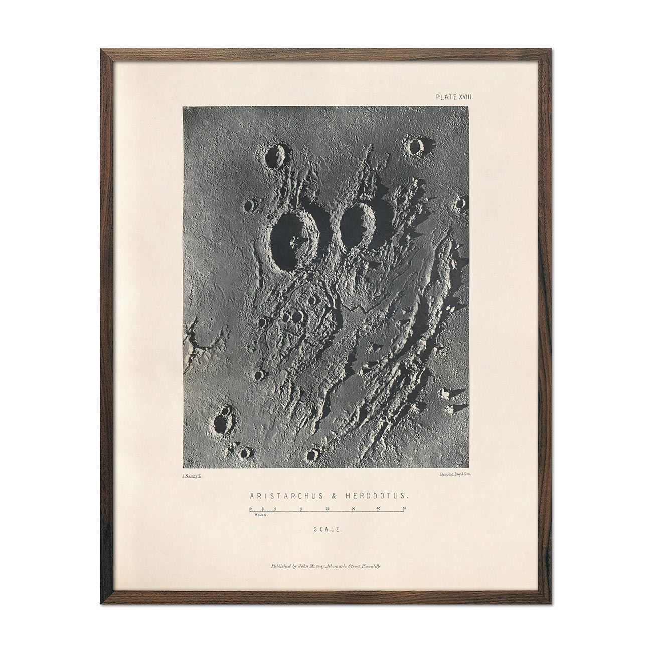
1874 Aristarchus and Herodotus Moon Craters Print
Regular price
From
$ 64.00 USD
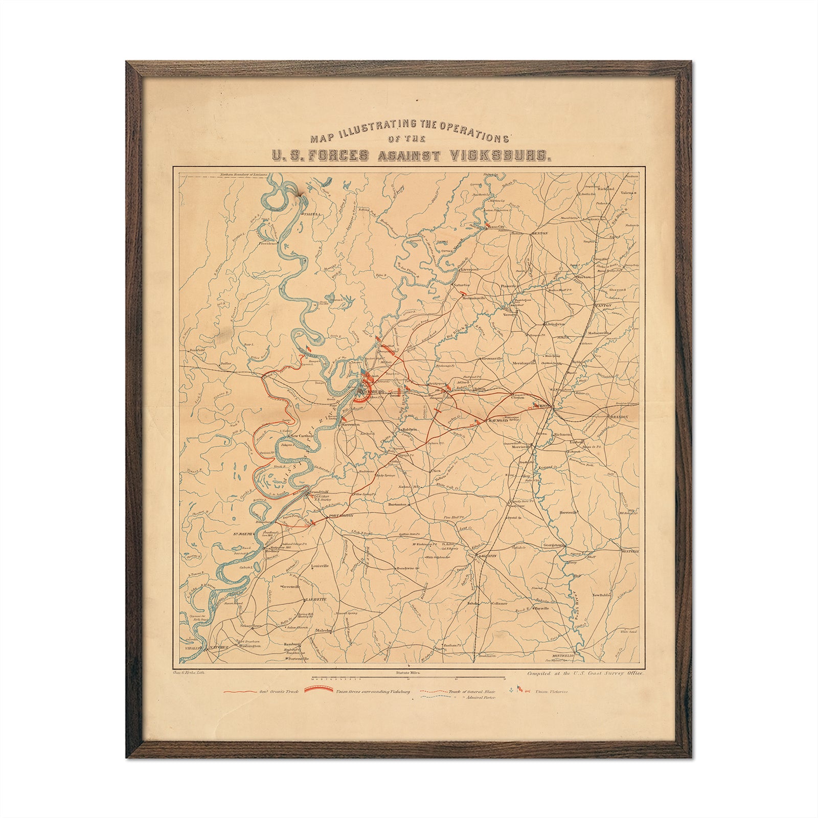
US Forces against Vicksburg
Regular price
From
$ 64.00 USD
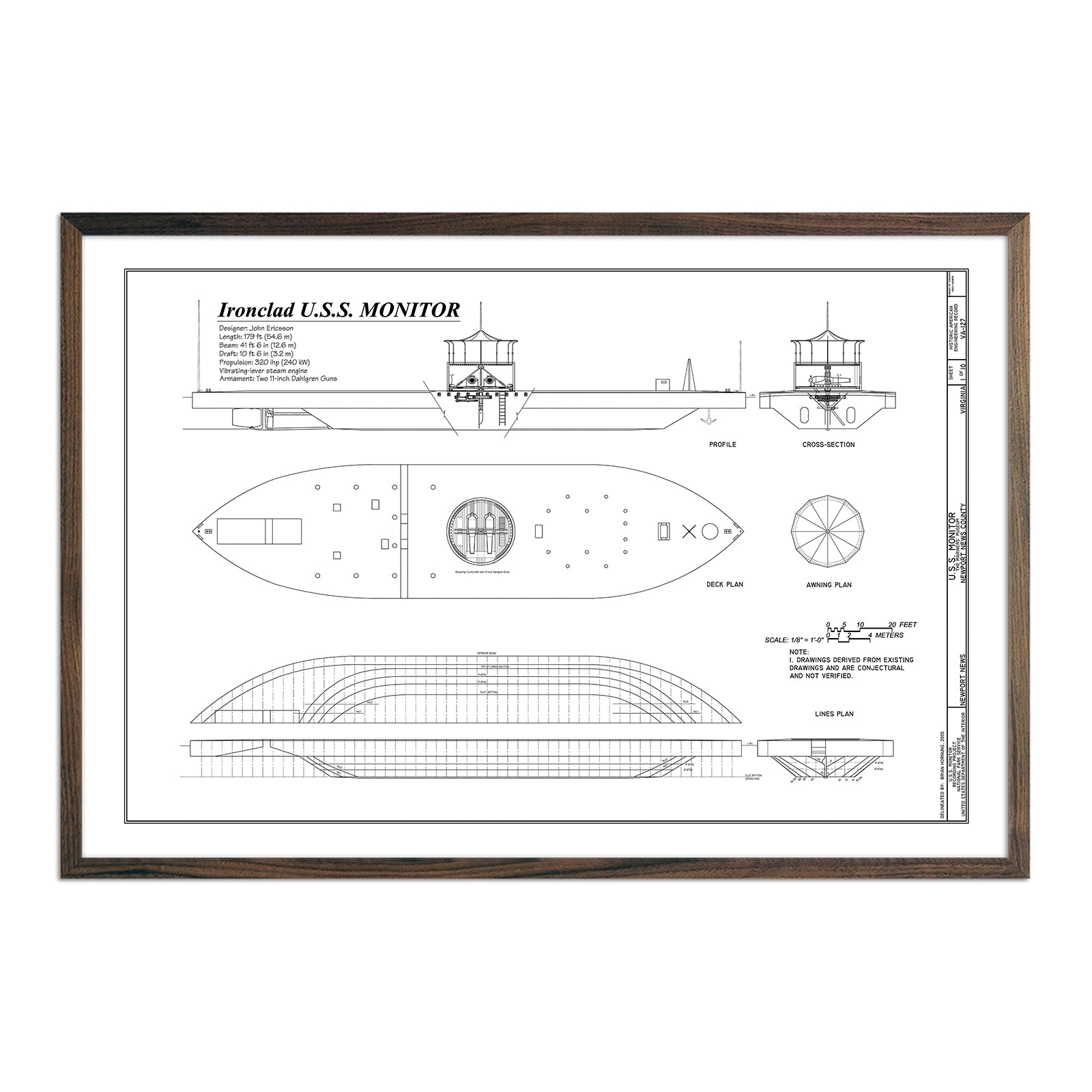
U.S.S. Monitor Plan
Regular price
From
$ 79.00 USD
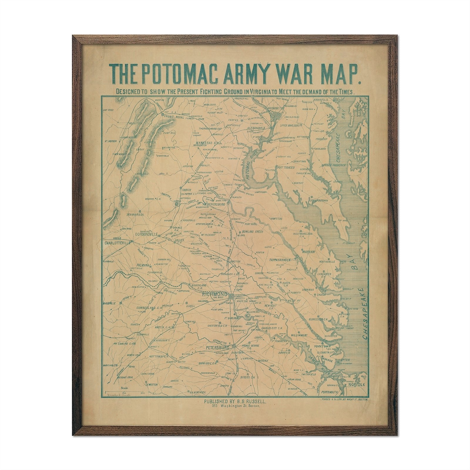
Potomac Army War Map
Regular price
From
$ 64.00 USD
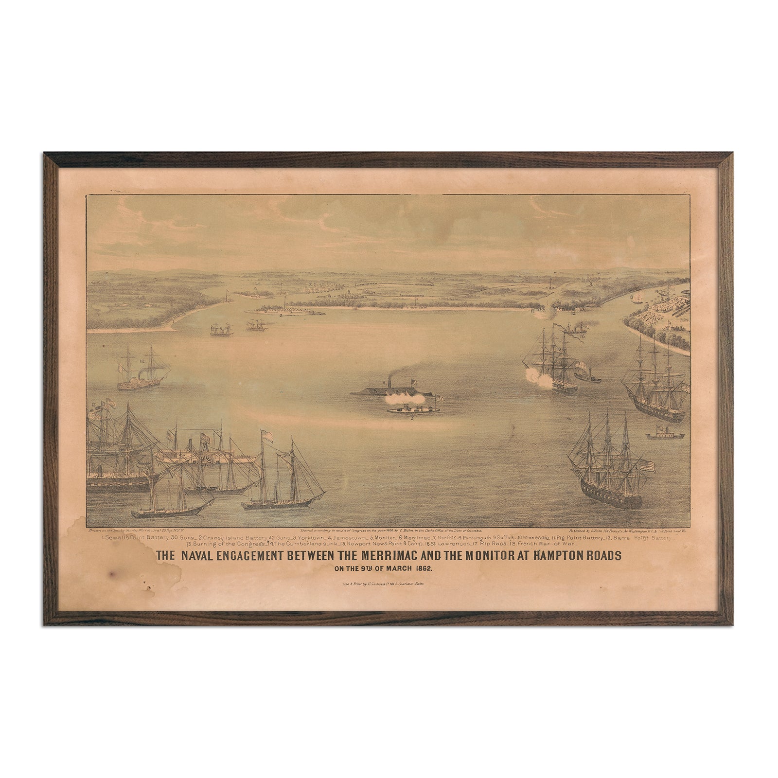
The Naval Engagement between the Merrimac and the Monitor at Hampton Roads
Regular price
From
$ 79.00 USD
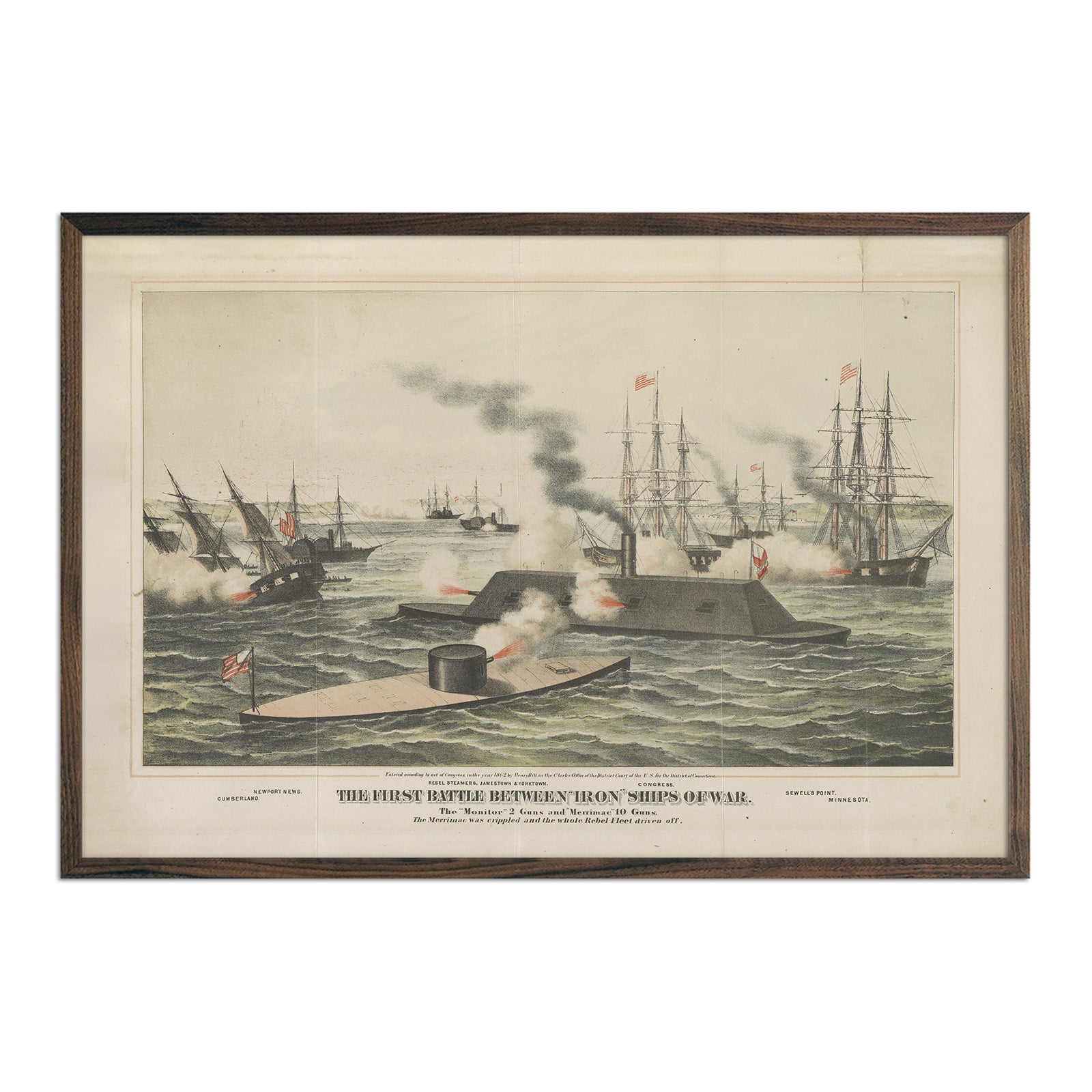
The First Battle between Iron Ships of War
Regular price
From
$ 79.00 USD
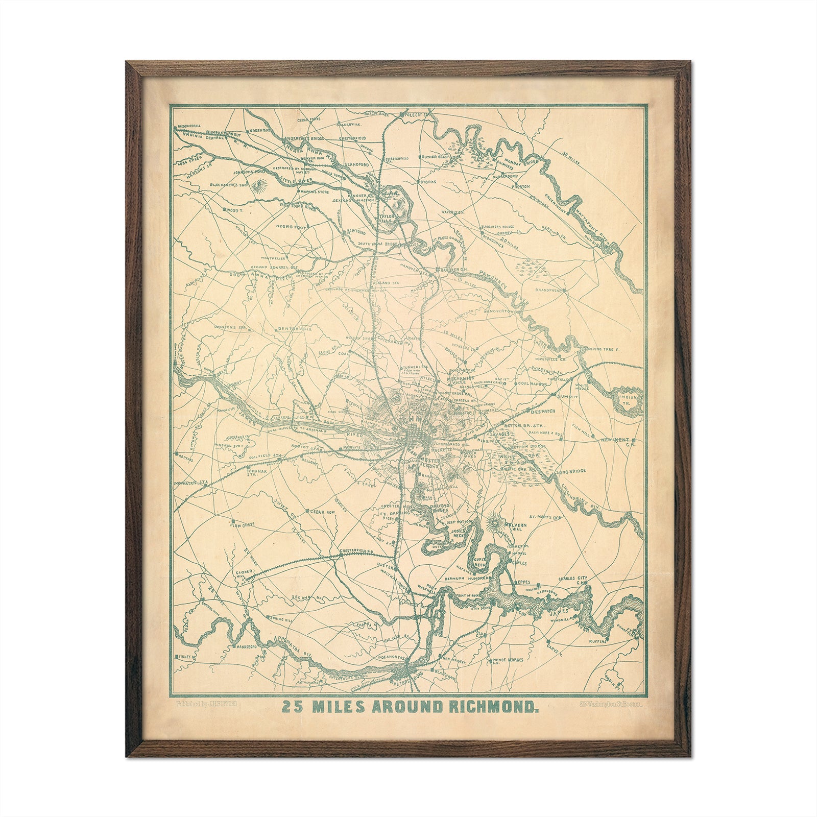
Richmond and 25 Miles Around
Regular price
From
$ 64.00 USD
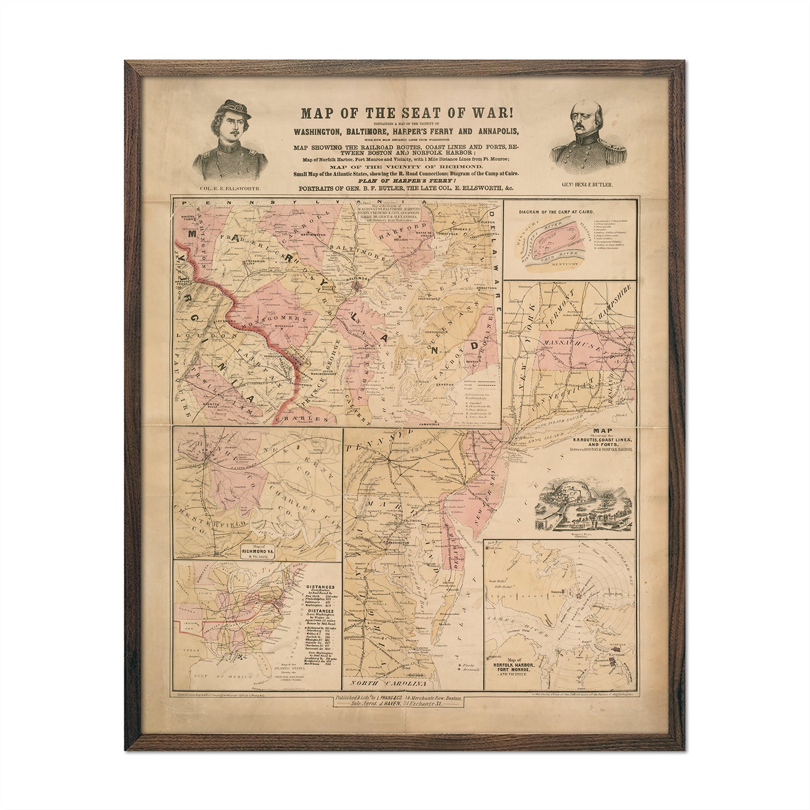
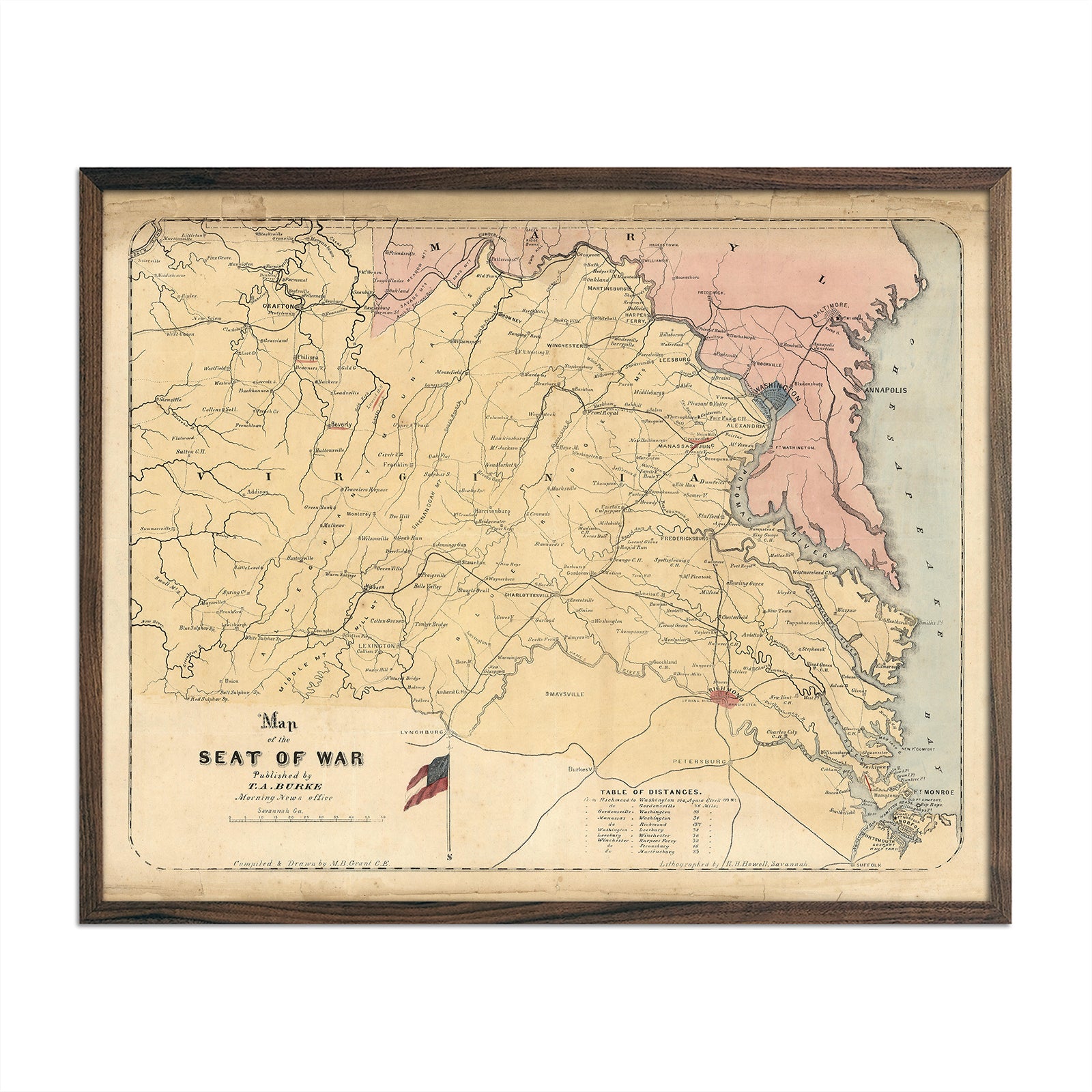
Map of the Seat of War 1861
Regular price
From
$ 64.00 USD
H.H. Lloyd Military Charts of Strategic Places of Interest
Regular price
From
$ 64.00 USD
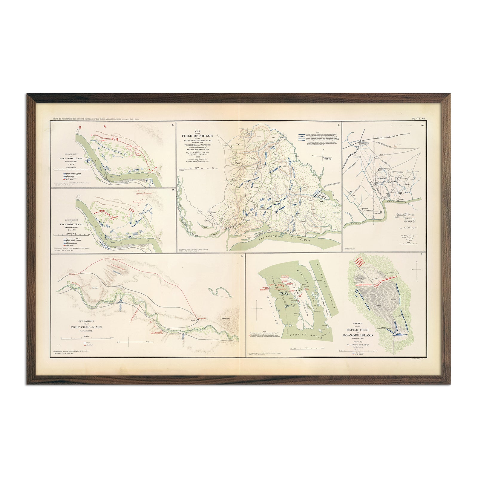
Valverde, Shiloh, Ft. Craig and Roanoke Island
Regular price
From
$ 79.00 USD
Plan of the Naval Attack and Capture of Port Royal
Regular price
From
$ 64.00 USD
Map of the Seat of War
Regular price
From
$ 64.00 USD
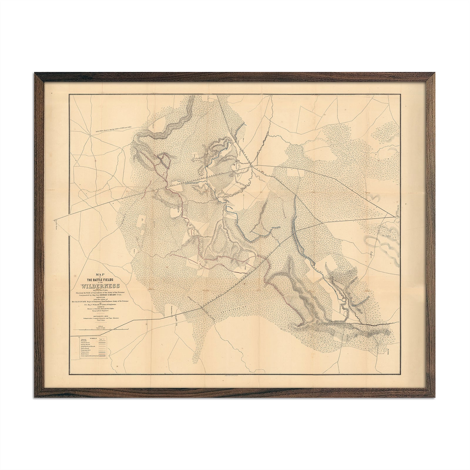
Map of the Battle Fields of Wilderness
Regular price
From
$ 64.00 USD
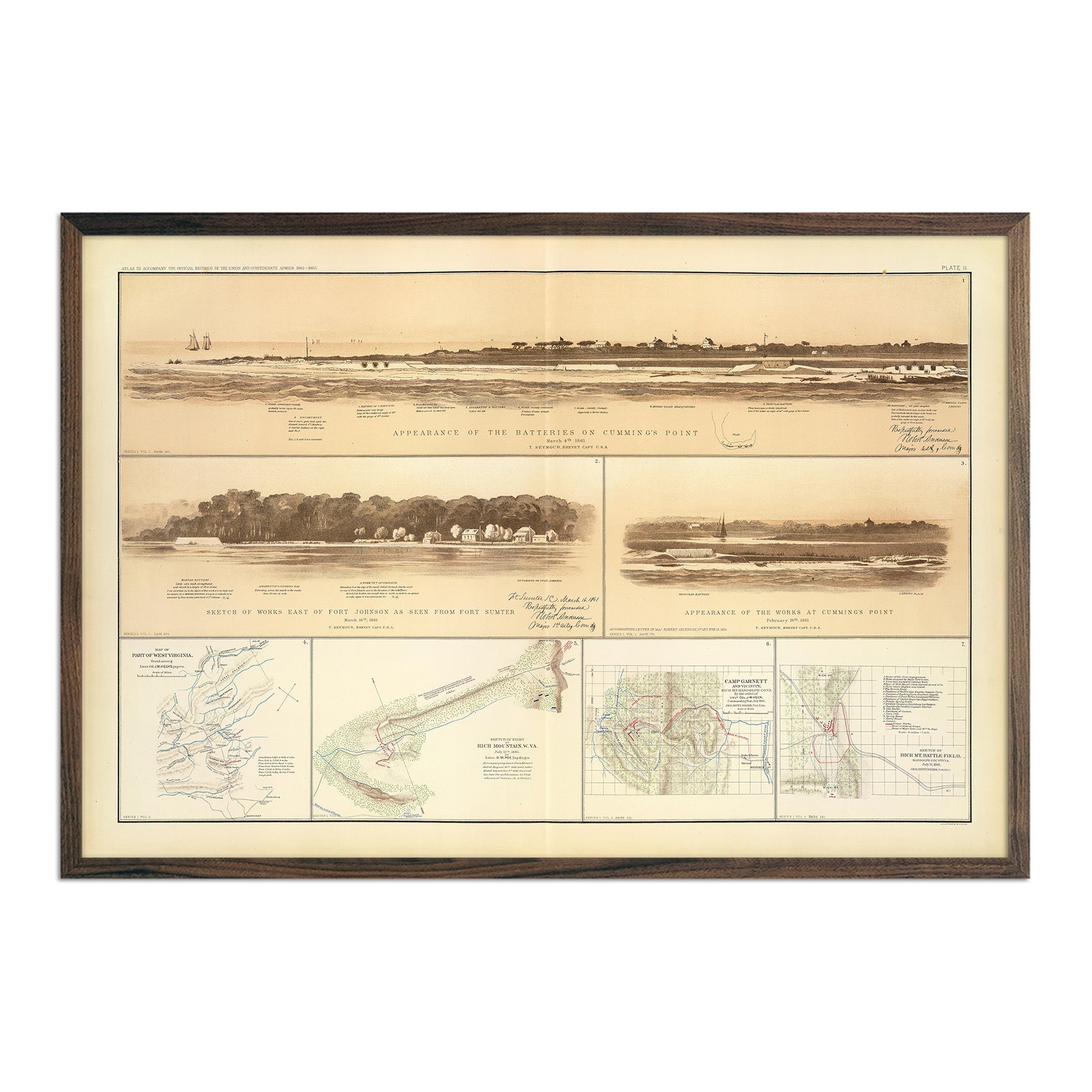
Cumming's Point Batteries
Regular price
From
$ 79.00 USD
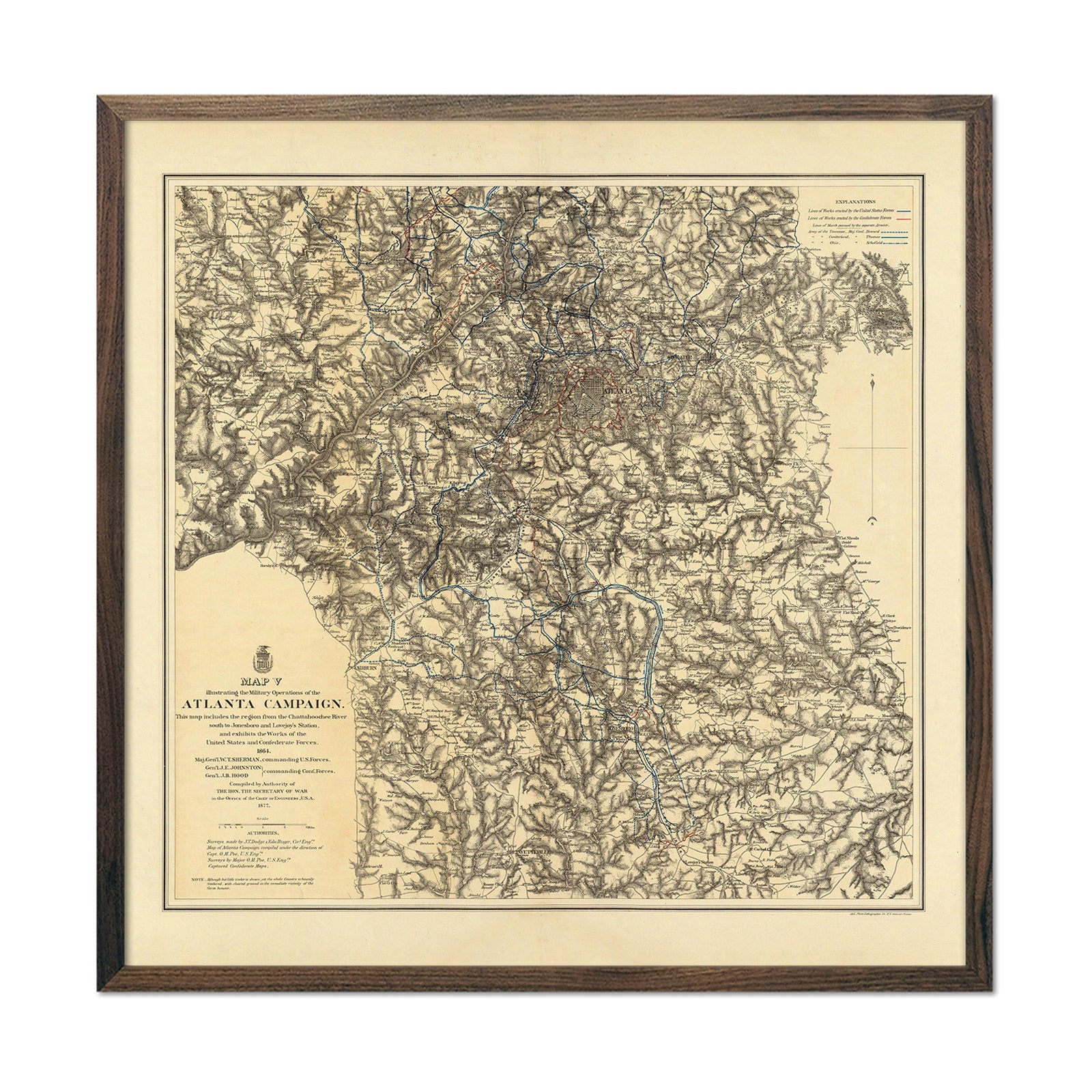
Atlanta Campaign Map 5
Regular price
From
$ 89.00 USD
War Telegram Marking Map
Regular price
From
$ 79.00 USD
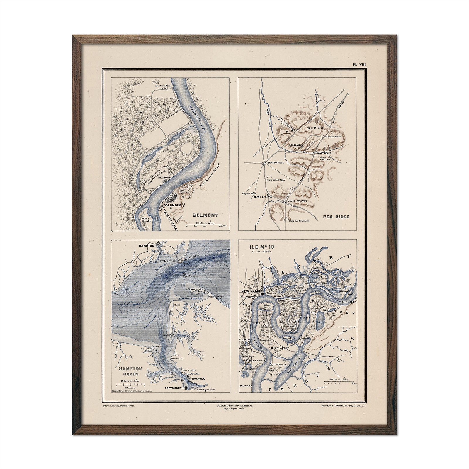
Belmont, Pea Ridge, Hampton Roads and Island Number 10
Regular price
From
$ 64.00 USD
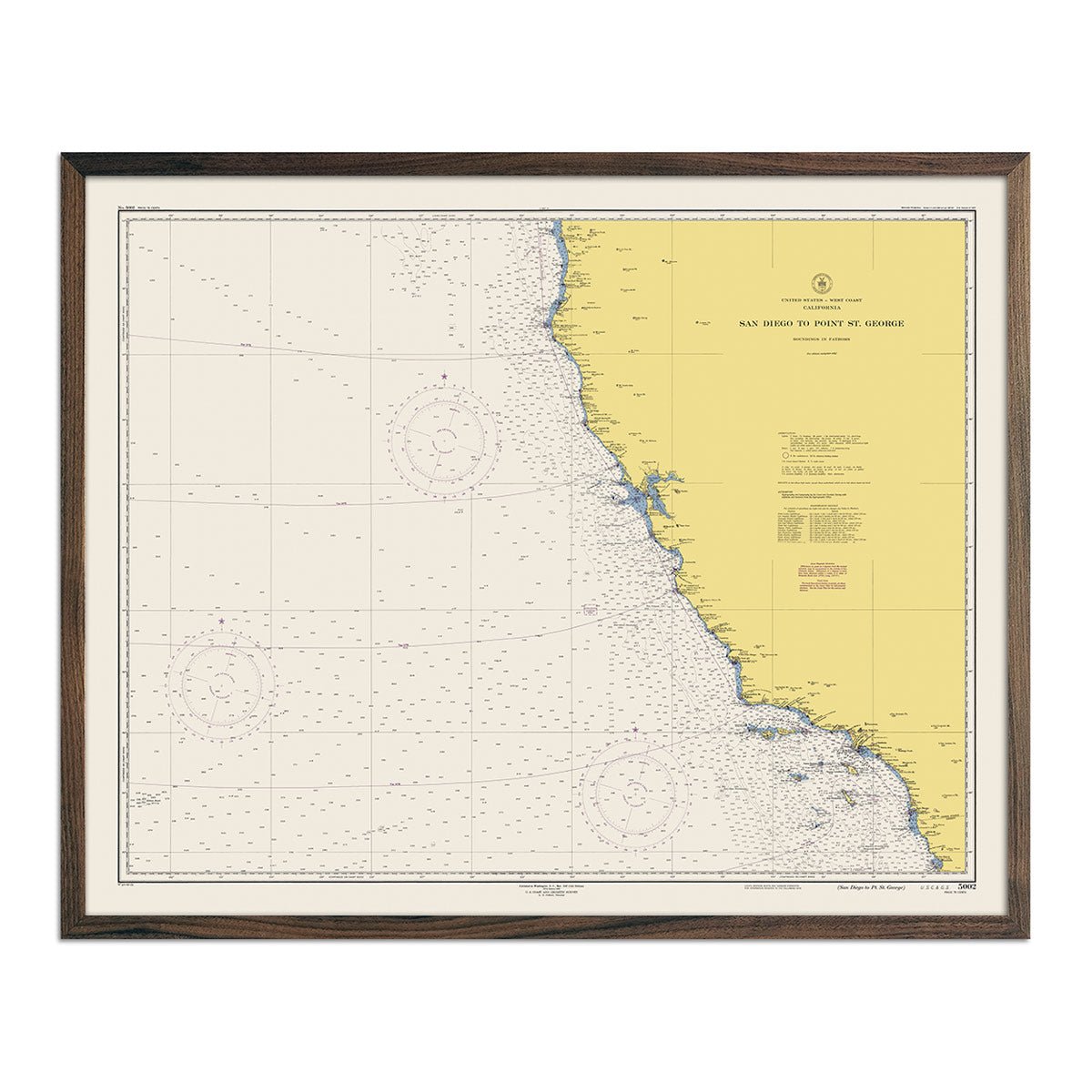
San Diego to Point St. George Nautical Chart 1948
Regular price
From
$ 64.00 USD
San Diego to Bering Sea and Hawaiian Islands Nautical Chart 1934
Regular price
From
$ 89.00 USD
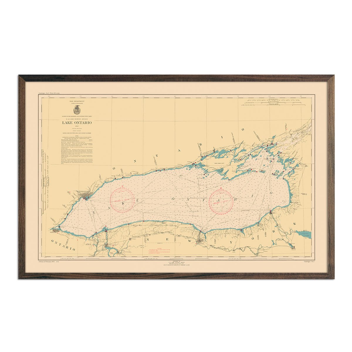
Lake Ontario Nautical Chart 1945
Regular price
From
$ 89.00 USD
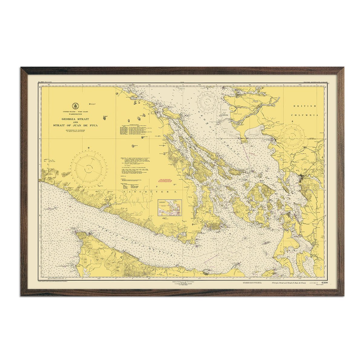
Georgia Strait & Strait of Juan de Fuca Nautical Chart 1948
Regular price
From
$ 79.00 USD
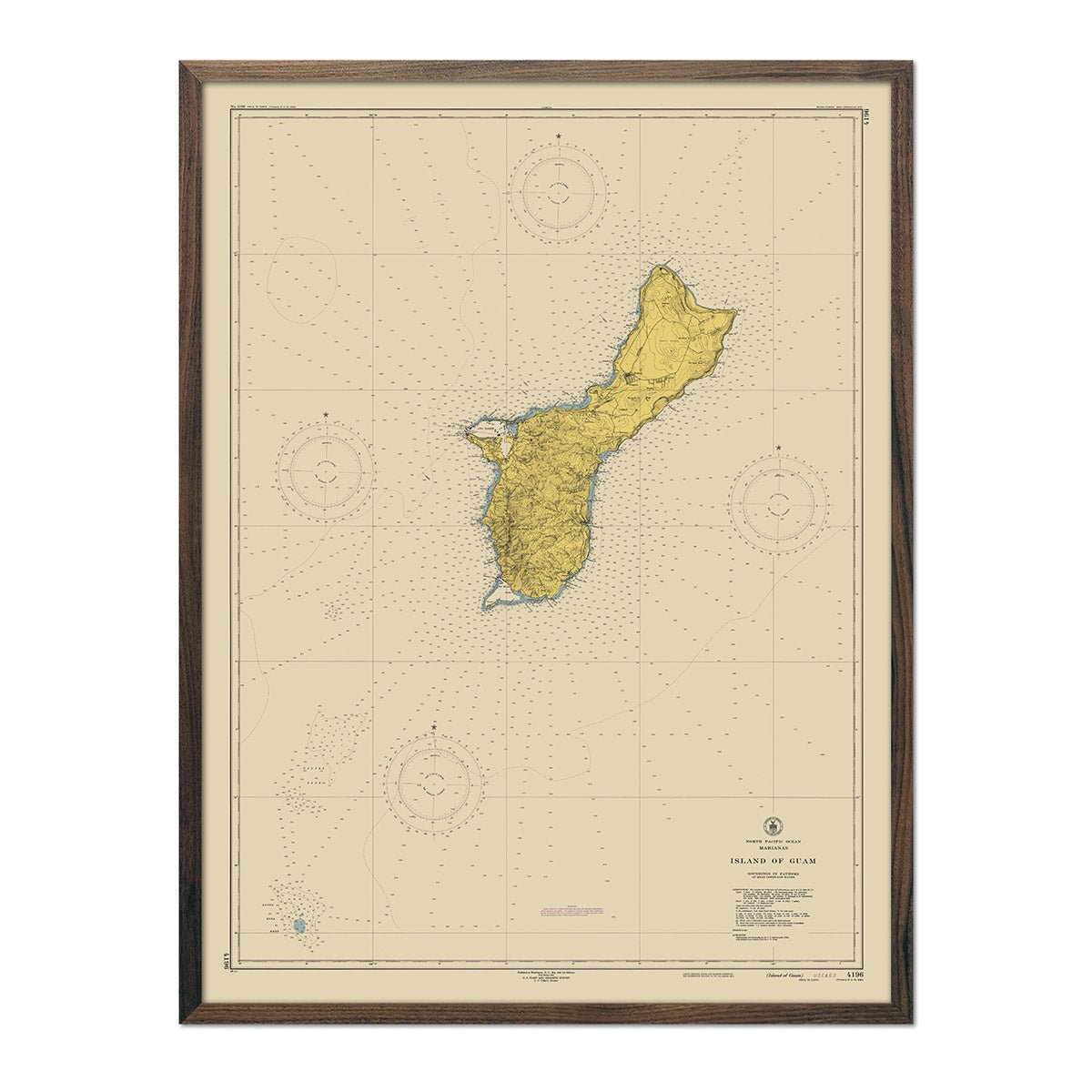
Guam Nautical Chart 1948
Regular price
From
$ 79.00 USD
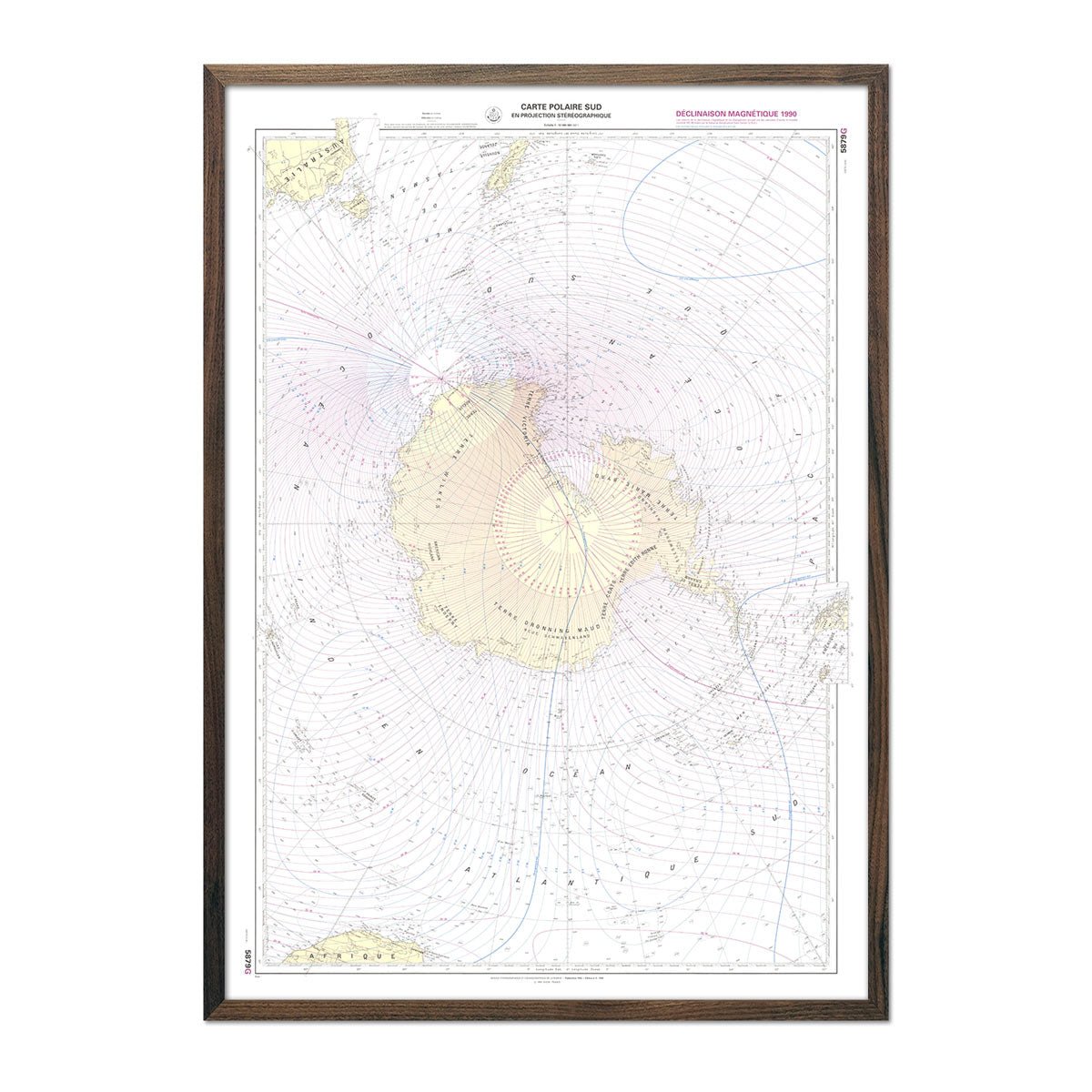
Carte Polaire Sud Nautical Chart 1992
Regular price
From
$ 79.00 USD
Carte Officielle des Stations Radiotelegraphiques of the Atlantic Ocean NE and Mediterranean 1925
Regular price
From
$ 64.00 USD
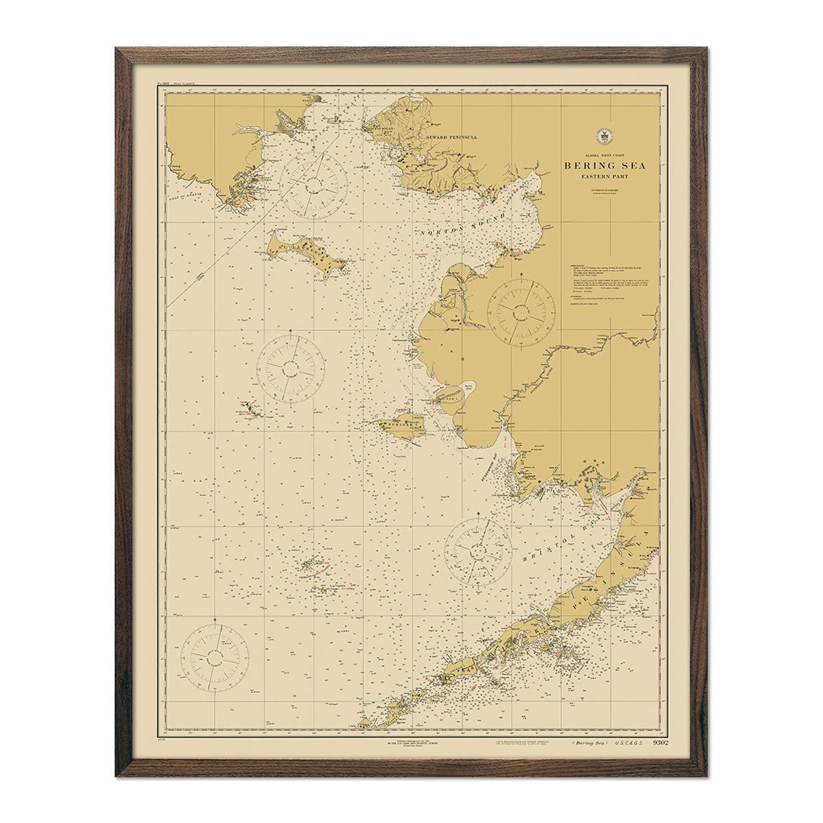
Bering Sea - Eastern Part Nautical Chart 1923
Regular price
From
$ 64.00 USD
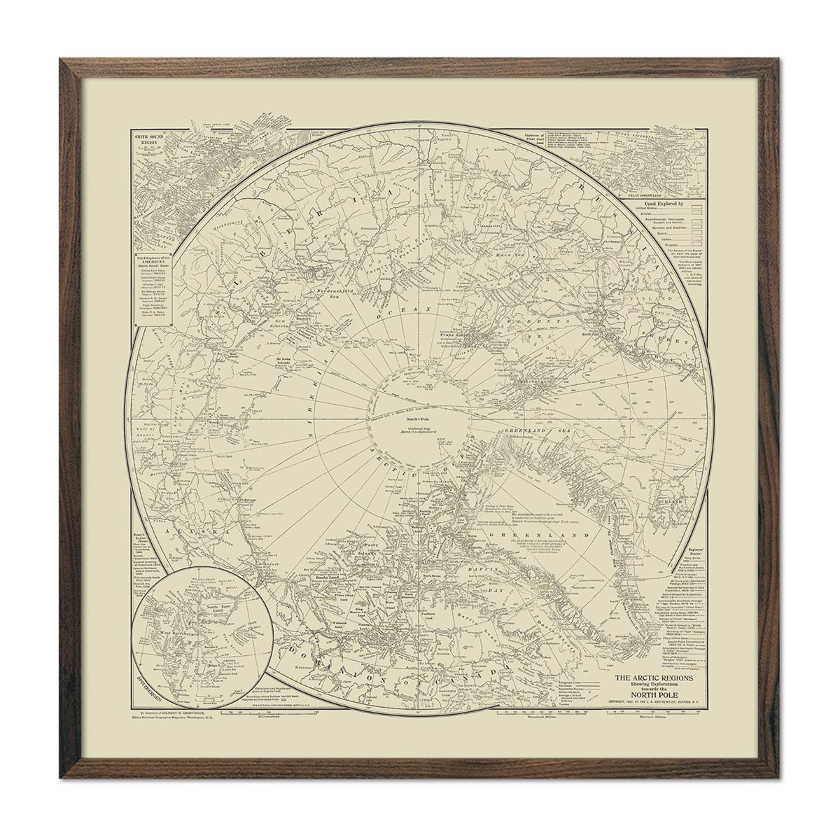
Arctic Regions Showing Explorations Towards the North Pole 1907
Regular price
From
$ 89.00 USD
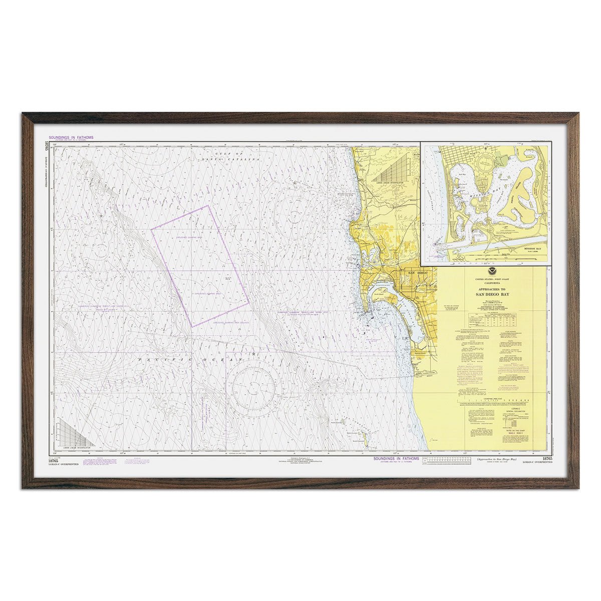
San Diego Bay Approaches Nautical Chart 1979
Regular price
From
$ 79.00 USD
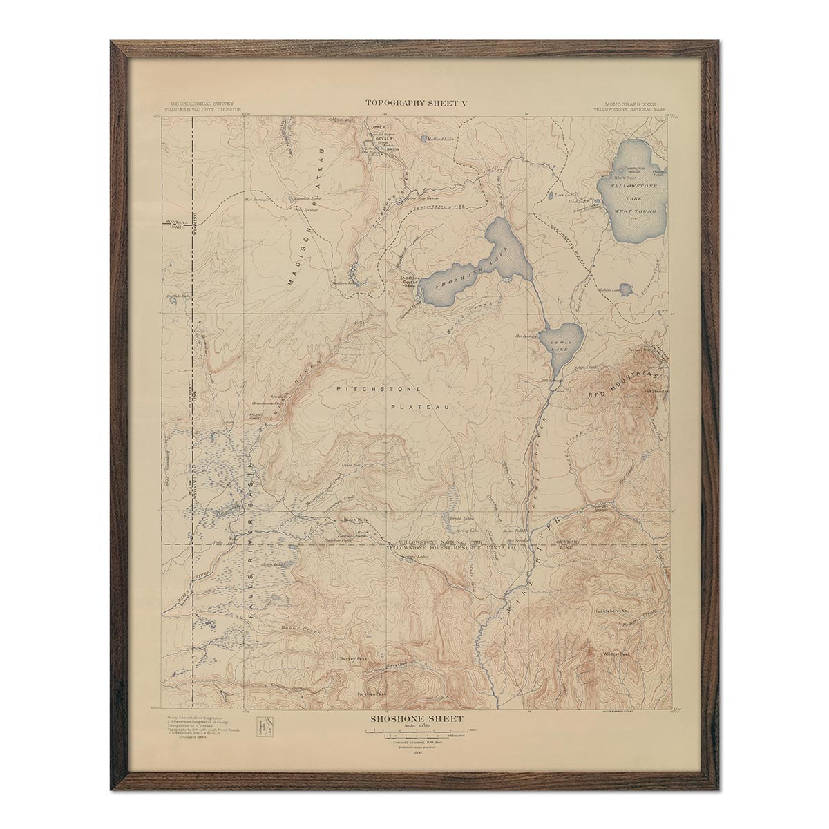
Yellowstone Topographic Map of Shoshone Section 1904 Map
Regular price
From
$ 64.00 USD
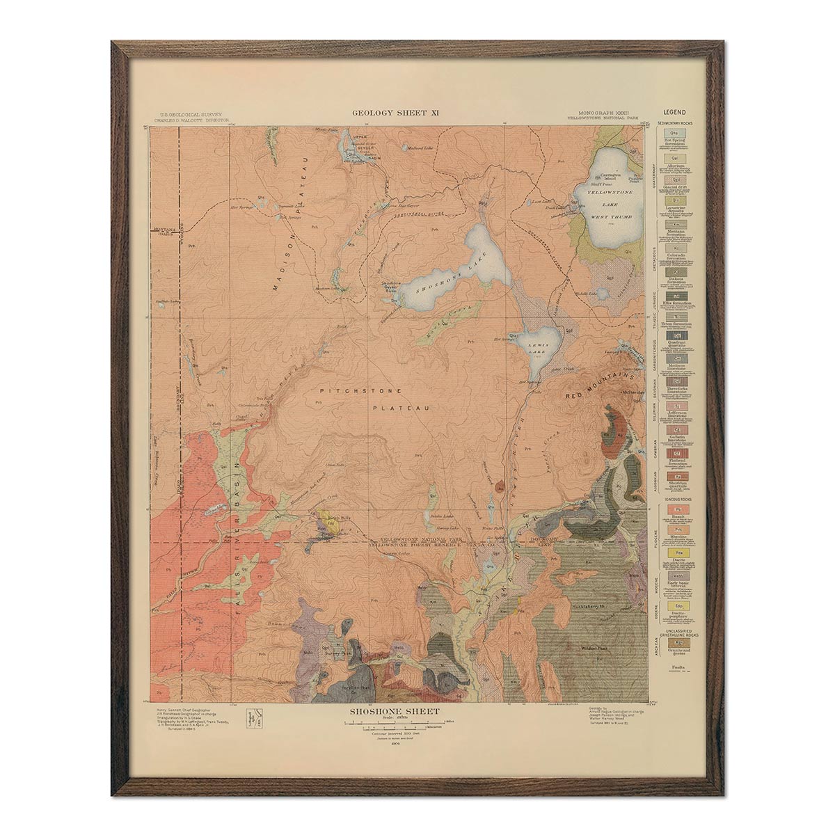
Yellowstone Geologic Map of Shoshone Section 1904 Map
Regular price
From
$ 64.00 USD
« Previous
·
1
…
5
6
7
8
·
Next »
Your cart
Close
Spend
$ 49.00 USD
more for
free shipping
!
Your order is eligible for free shipping!
You may also like
Previous
Next
The Lake Tahoe Tumbler
Regular price
$ 59.00 USD
Add to cart
Close
Your cart is empty
Start shopping