Skip to content
Facebook
Instagram
Pinterest
FREE SHIPPING ON ORDERS OVER $49
Country/Region
United States (USD $)
United States (USD $)
Best Sellers
3D "Factory Seconds" Sale
Shop by Region
Shop by Type
Historical Prints
Home Goods
About Us
Search for your map
Account
Cart
Popular Collections
Best Sellers
Shop by Region
Maps of USA
State Maps
International Maps
National Park Maps
Shop by Type
3D RAISED Relief Maps
Hydrological Maps
Custom Wood Carved Map
Regular price
From
$ 300.00 USD
5.0 / 5.0
3 reviews
Vintage Shaded Relief Maps
Elevation Maps
Natural Atlas
TOPO Series
National Parks Series
Shaded Relief Series
Range Series
Digital Gift Card
Regular price
From
$ 20.00 USD
5.0 / 5.0
5 reviews
Walnut Frames "Factory Seconds"
Historical Prints
1884 Fish Drawings
1875 Zoology Lithographs
1868 Yosemite Photographs
1873 Yellowstone Photographs
1874 Moon Photography
Astronomy
Civil War Maps
Historical Nautical Charts
Vintage Maps - Misc
USGS Quadrant Maps
1876 State Map Collection
1876 Geologic & Topographic
1883 US State Maps
1904 Yellowstone Maps
1906 Hawaiian Islands Maps
Apparel/Home Goods
Glasses
Books
Tees
Hats
Blankets
Walnut Frame for 3D Raised Relief Map
Regular price
From
$ 220.00 USD
5.0 / 5.0
1 review
About Us
Our Story
Reviews
FAQs
Shipping and Returns
Contact Us
Best Sellers
3D "Factory Seconds" Sale
Shop by Region
USA Maps
State Maps
International Maps
National Park Maps
Shop by Type
Collections
3D RAISED Relief
2D Vintage Shaded Relief
Hydrology Series
Custom Maps
Golf Courses - 3D Wood
2D Elevation Relief
Natural Atlas Maps
TOPO Series
National Park Series
2D Shaded Relief
Mountain Range
Gift Cards
Walnut Frames
3D RAISED Relief Maps
Hydrological Maps
3D Raised Relief
Historical Prints
Illustrations and Photographs
1884 Fish Drawings
1875 Zoology Drawings
1868 Yosemite Photos
1873 Yellowstone Photos
1874 Moon Photos
Historical Maps
Astronomy
Civil War Maps
Nautical Maps
Assorted Vintage
USGS Quadrant Maps
1876 State Maps
1876 Geologic/Topographic
1883 State Maps
1904 Yellowstone Maps
1906 Hawaii Maps
1884 Fish Drawings
Civil War Maps
Astronomy
Astronomy
Home Goods
Mountain Glasses
Field Guides
Books
Tees
Hats
Topo Blankets
Walnut Frames
Mountain Glasses
Tees
Books
About Us
Our Story
Reviews
FAQs
Shipping and Returns
Contact Us
Vintage Map Best Sellers
Filter
Sort by
Best selling
Most relevant
Best selling
Alphabetically, A-Z
Alphabetically, Z-A
Date, old to new
Date, new to old
Filters
Sort by
Most relevant
Best selling
Alphabetically, A-Z
Alphabetically, Z-A
Date, old to new
Date, new to old
Apply
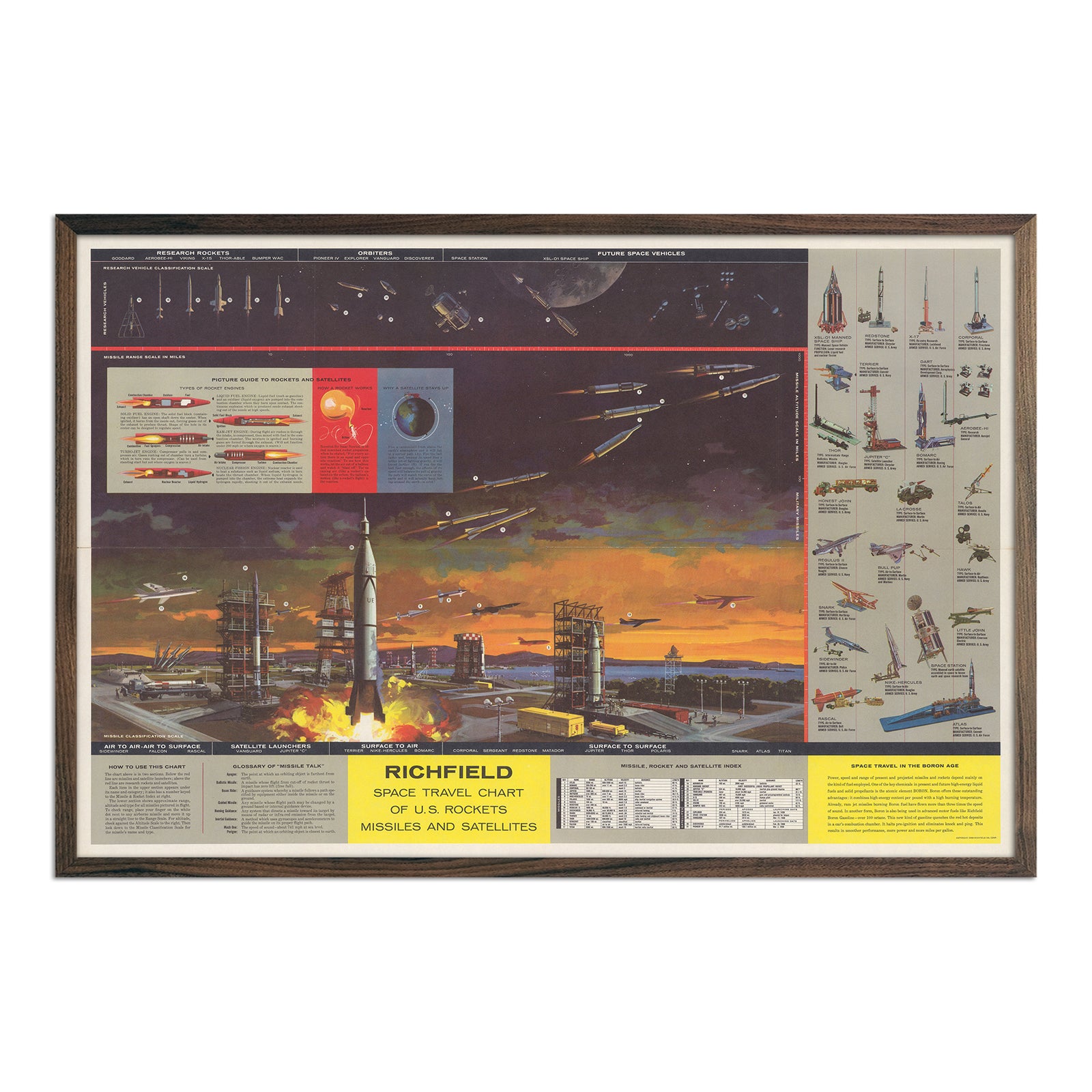
Richfield Space Travel Chart of U.S. Rockets Missiles And Satellites
Regular price
From
$ 69.00 USD
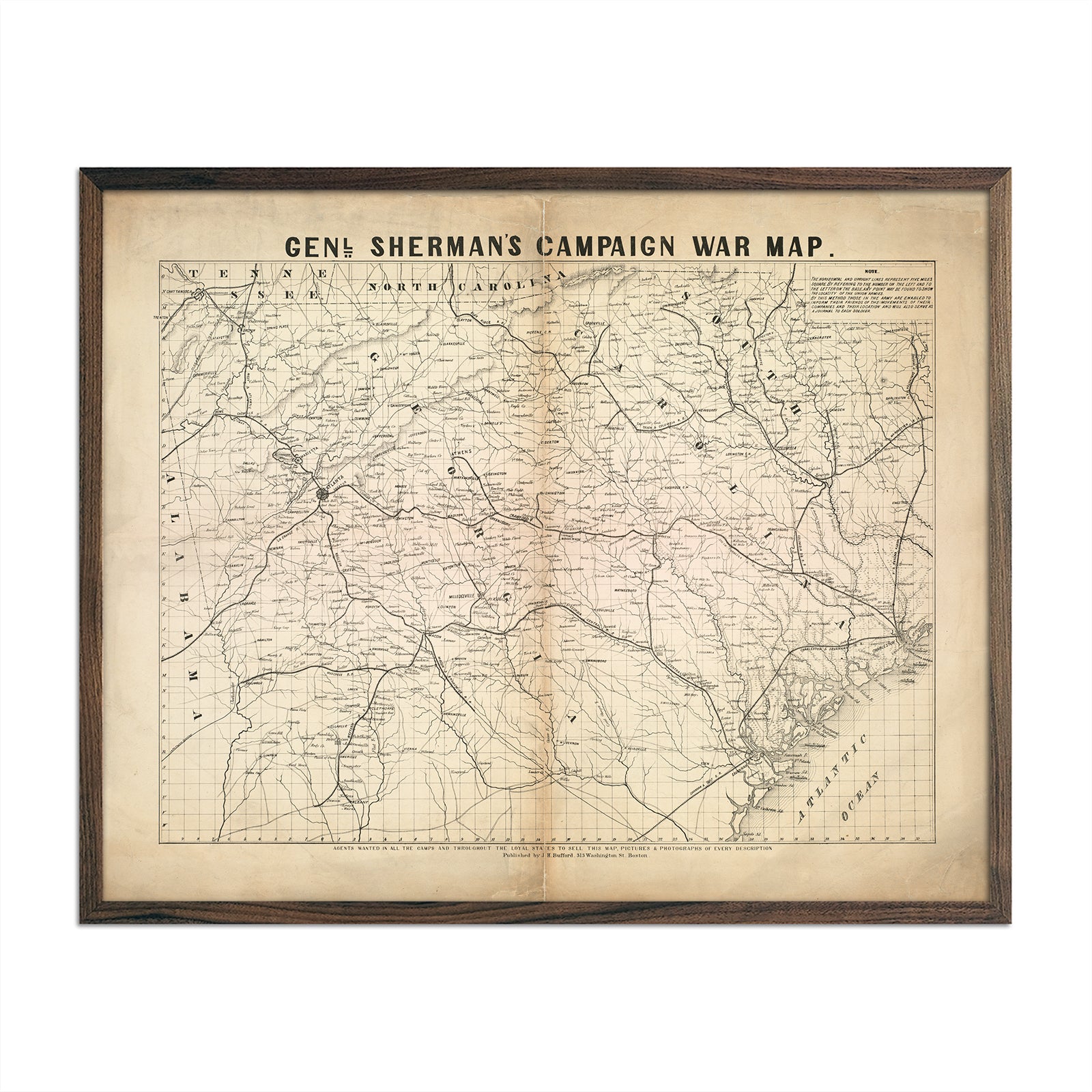
General Sherman's Campaign War Map
Regular price
From
$ 64.00 USD
5.0 / 5.0
1 review
Battle between the Monitor and Merrimac
Regular price
From
$ 64.00 USD
Civil War Visual History Map
Regular price
From
$ 79.00 USD
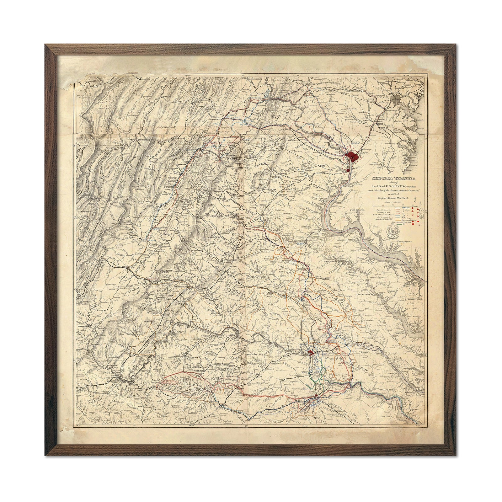
Central Virginia Map Showing Lieutenant General U.S. Grant's Campaign
Regular price
From
$ 89.00 USD
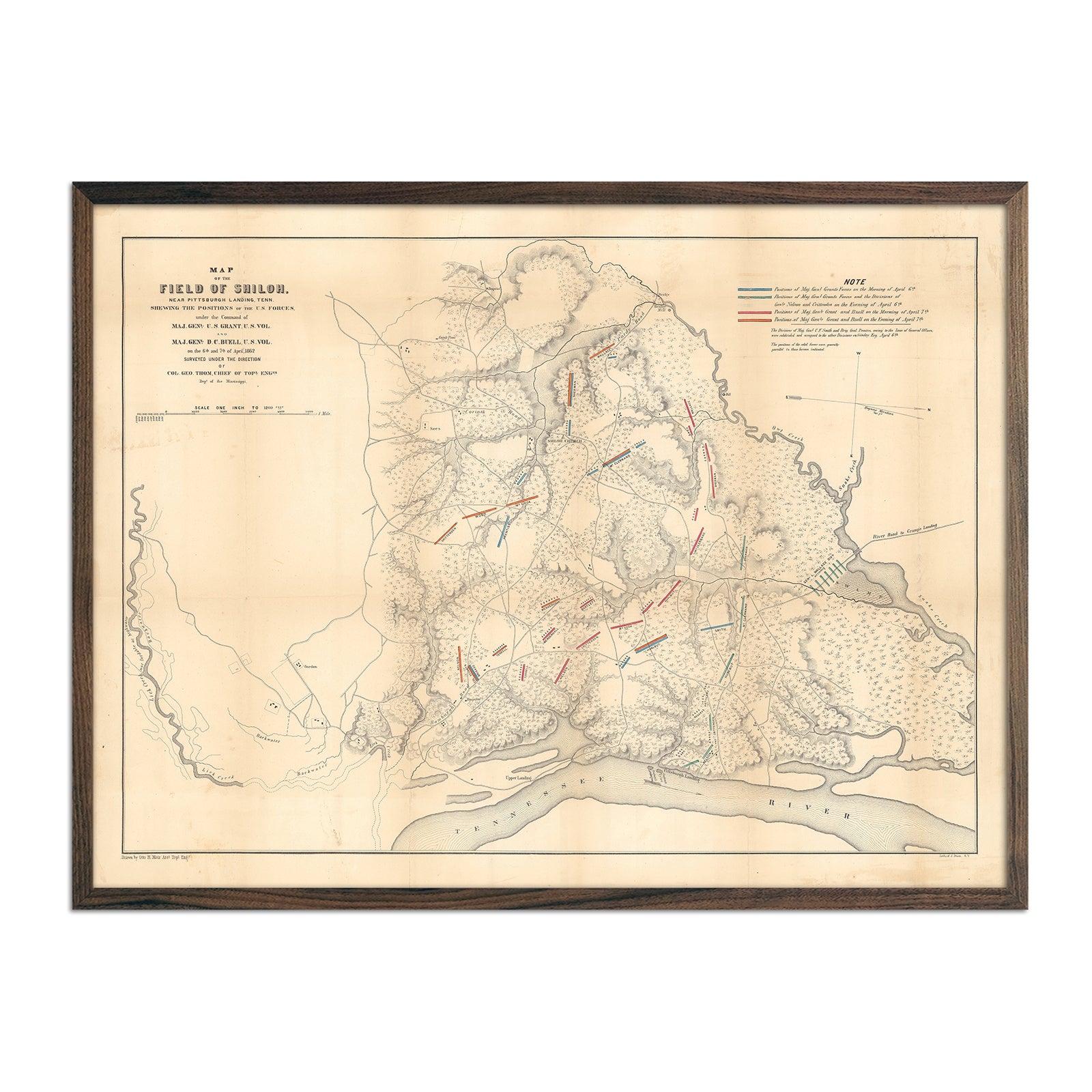
Field of Shiloh
Regular price
From
$ 79.00 USD
Long Island Sound Nautical Chart 1899
Regular price
From
$ 99.00 USD
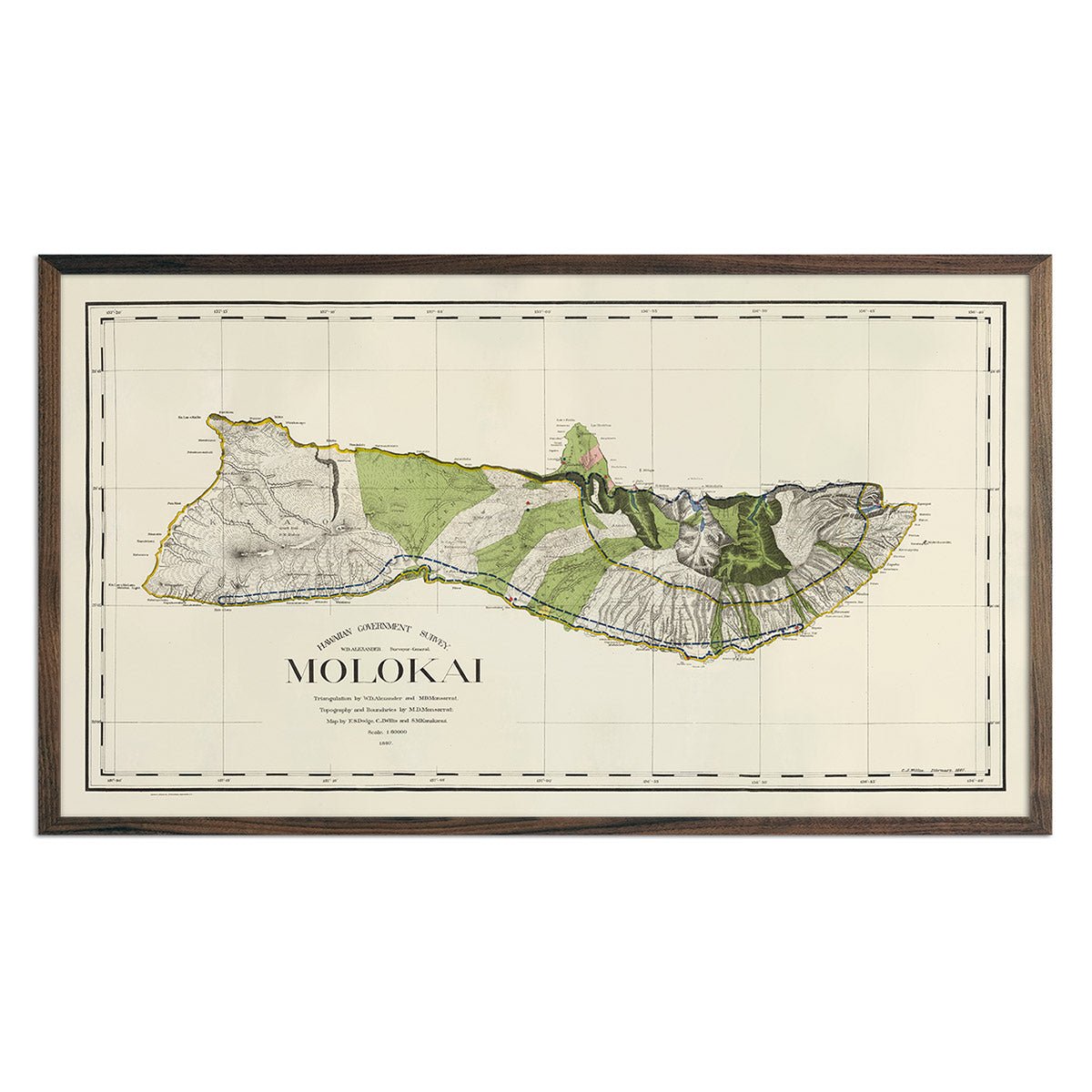
Molokai Island 1906 Map
Regular price
From
$ 99.00 USD
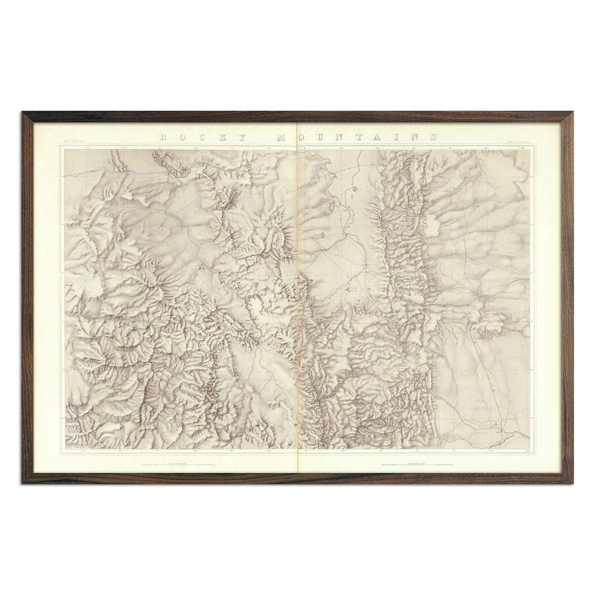
Rocky Mountains 1876 Topographic Map
Regular price
From
$ 69.00 USD
5.0 / 5.0
4 reviews
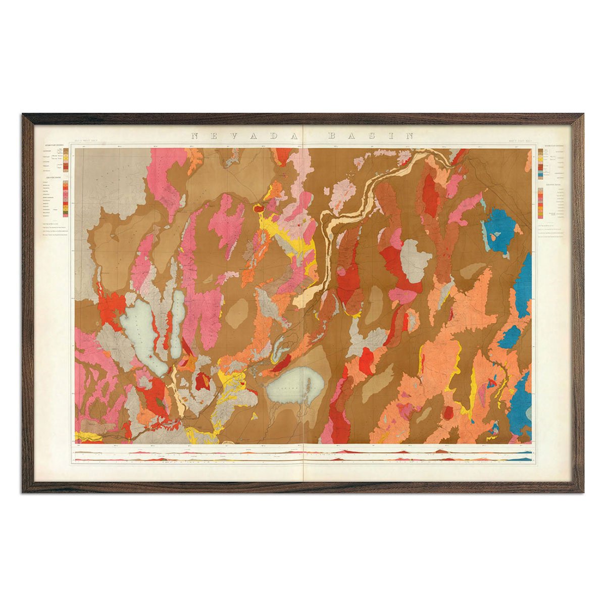
Nevada Basin 1876 Geological Map
Regular price
From
$ 69.00 USD
5.0 / 5.0
4 reviews
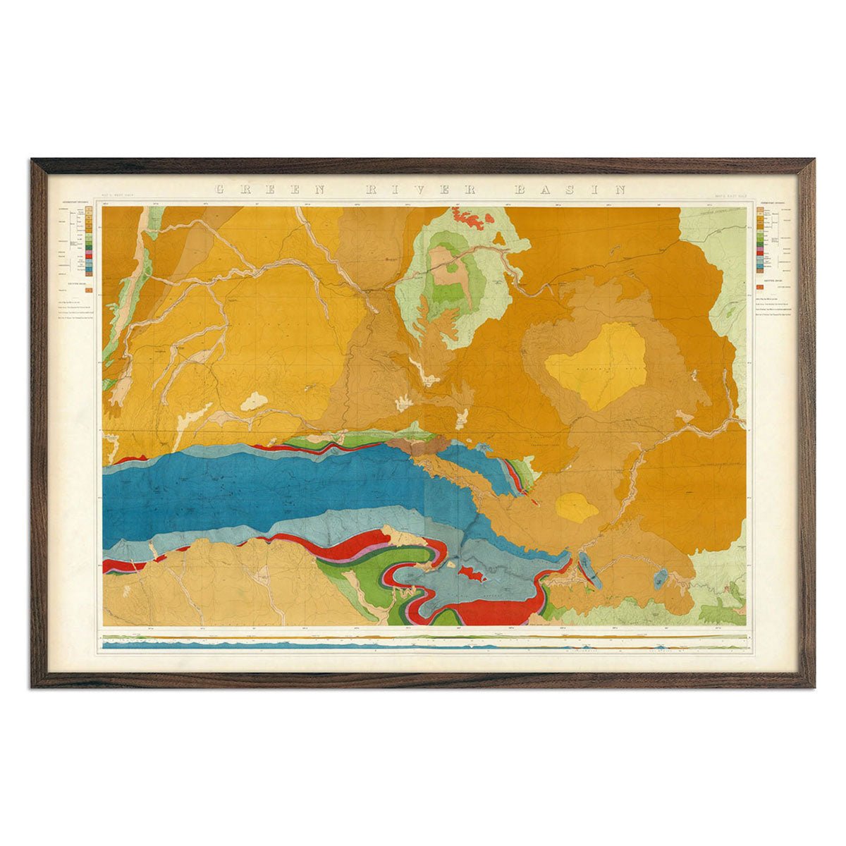
Green River Basin 1876 Geological Map
Regular price
From
$ 69.00 USD
5.0 / 5.0
4 reviews
Denver, CO 1953 USGS Map
Regular price
From
$ 79.00 USD
4.9 / 5.0
144 reviews
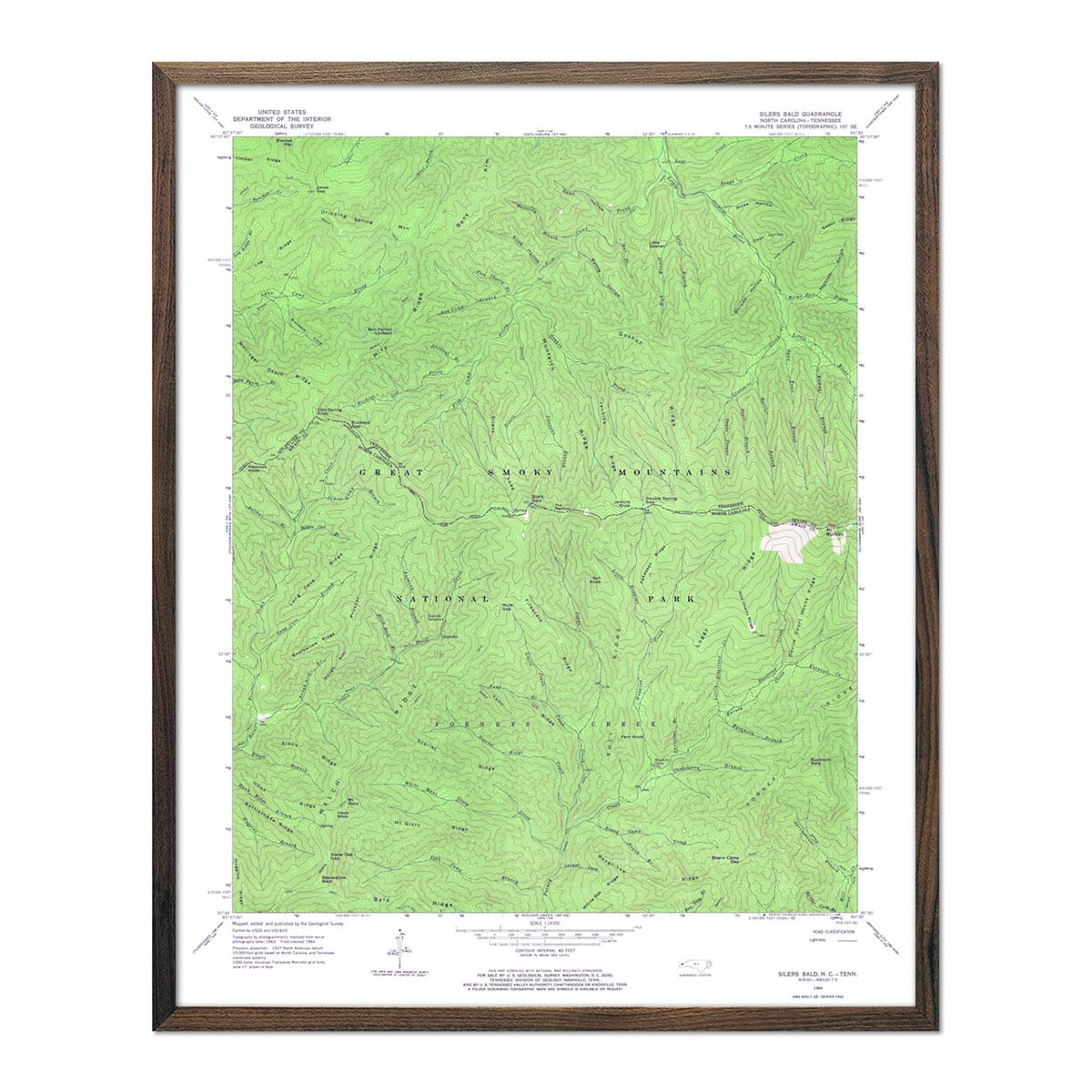
Great Smoky Mountains National Park 1964 USGS Map
Regular price
From
$ 64.00 USD
4.9 / 5.0
144 reviews
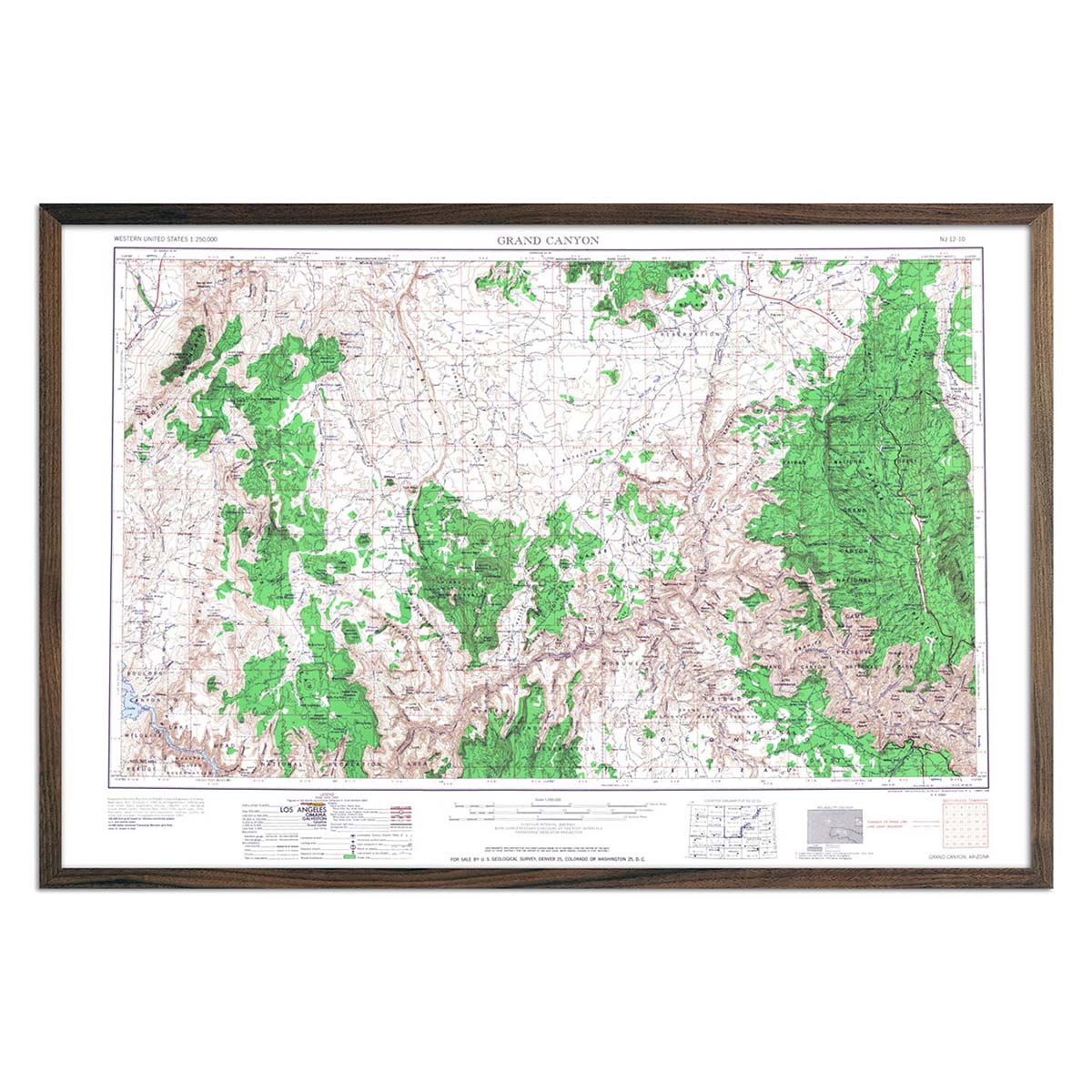
Grand Canyon National Park 1960 USGS Map
Regular price
From
$ 69.00 USD
4.9 / 5.0
144 reviews
World of Animals
Regular price
From
$ 64.00 USD
Carte General de la Lune
Regular price
From
$ 79.00 USD
British Empire in North America 1776 Map
Regular price
From
$ 69.00 USD
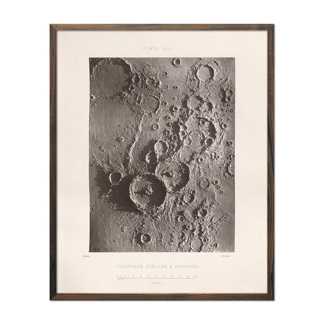
1874 Theophilus, Cyrillus, and Catharina Lunar Craters Print
Regular price
From
$ 64.00 USD
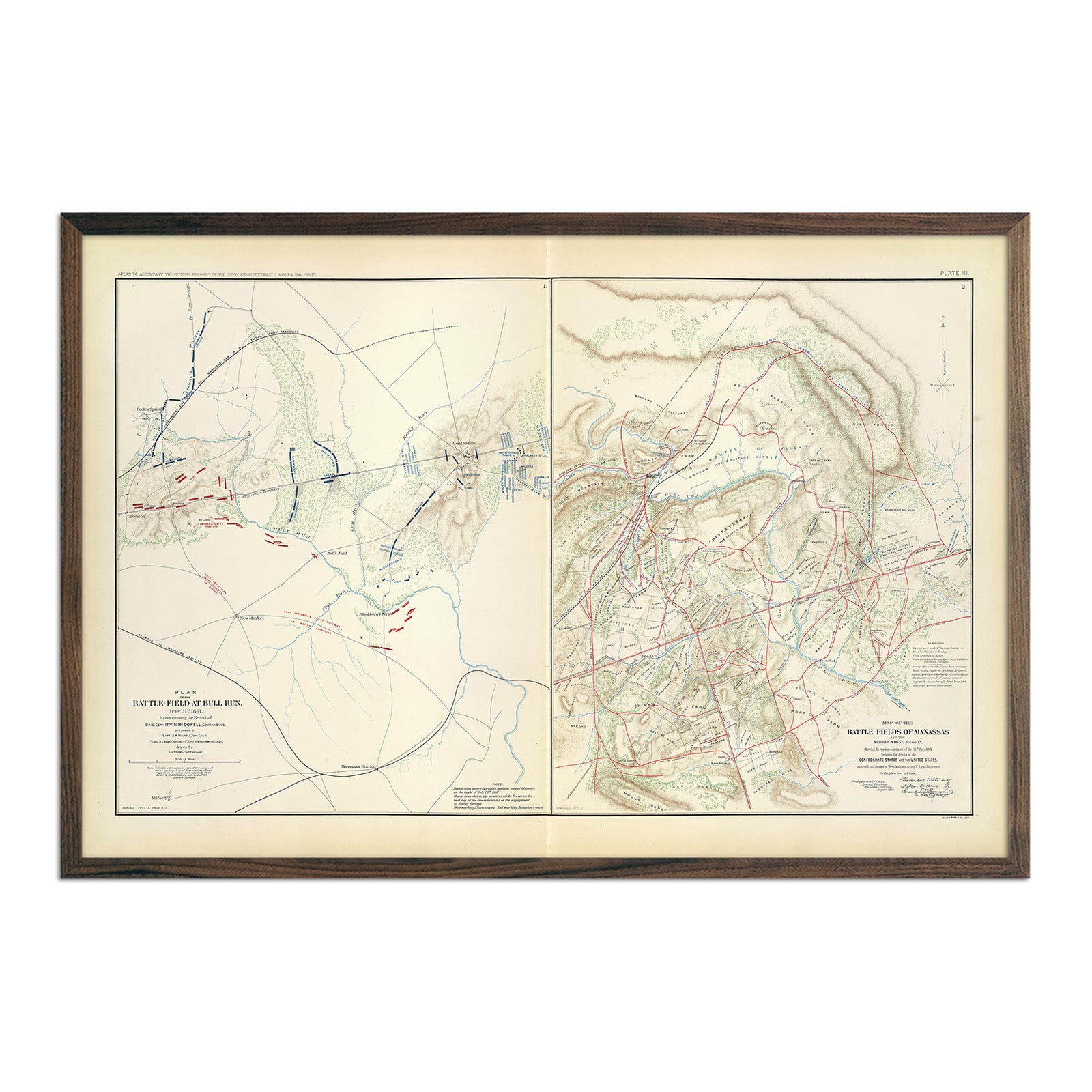
Bull Run and Manassas
Regular price
From
$ 79.00 USD
1861-1865 Civil War Centennial
Regular price
From
$ 79.00 USD
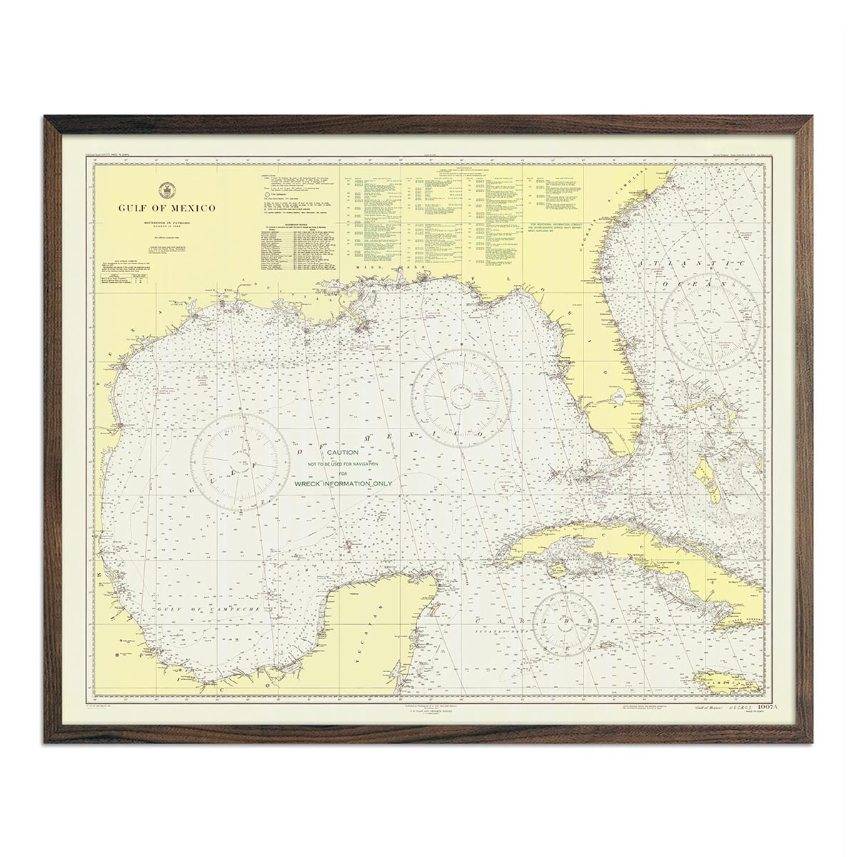
Gulf of Mexico Nautical Chart 1947
Regular price
From
$ 64.00 USD
Rio Colorado Geologic 1858 Map
Regular price
From
$ 149.00 USD
5.0 / 5.0
112 reviews
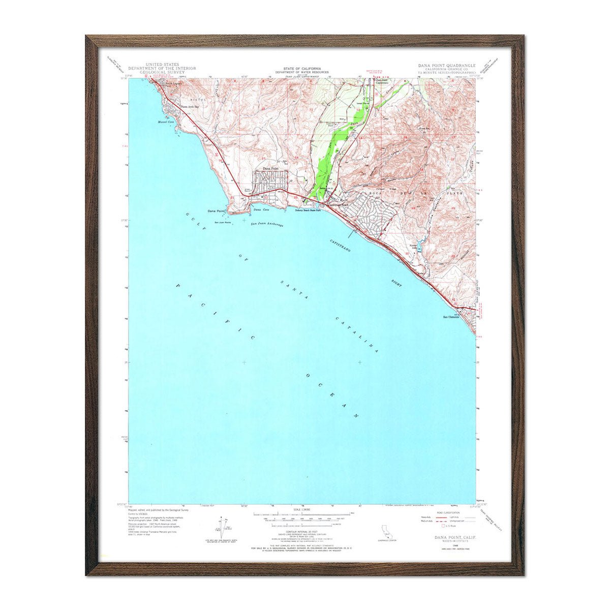
Dana Point, CA 1948 USGS Map
Regular price
From
$ 64.00 USD
4.9 / 5.0
144 reviews
Lanai Island 1906 Map
Regular price
From
$ 64.00 USD
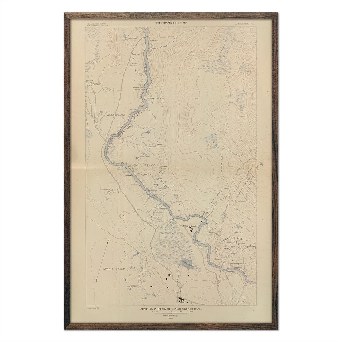
Yellowstone Topographic Map of Central Upper Geyser Basin 1904 Map
Regular price
From
$ 69.00 USD
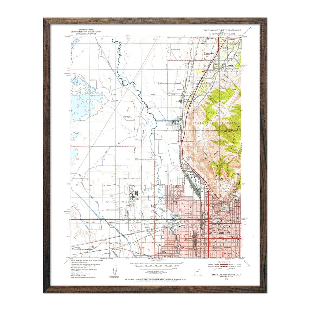
Salt Lake City, UT 1953 USGS Map
Regular price
From
$ 64.00 USD
4.9 / 5.0
144 reviews
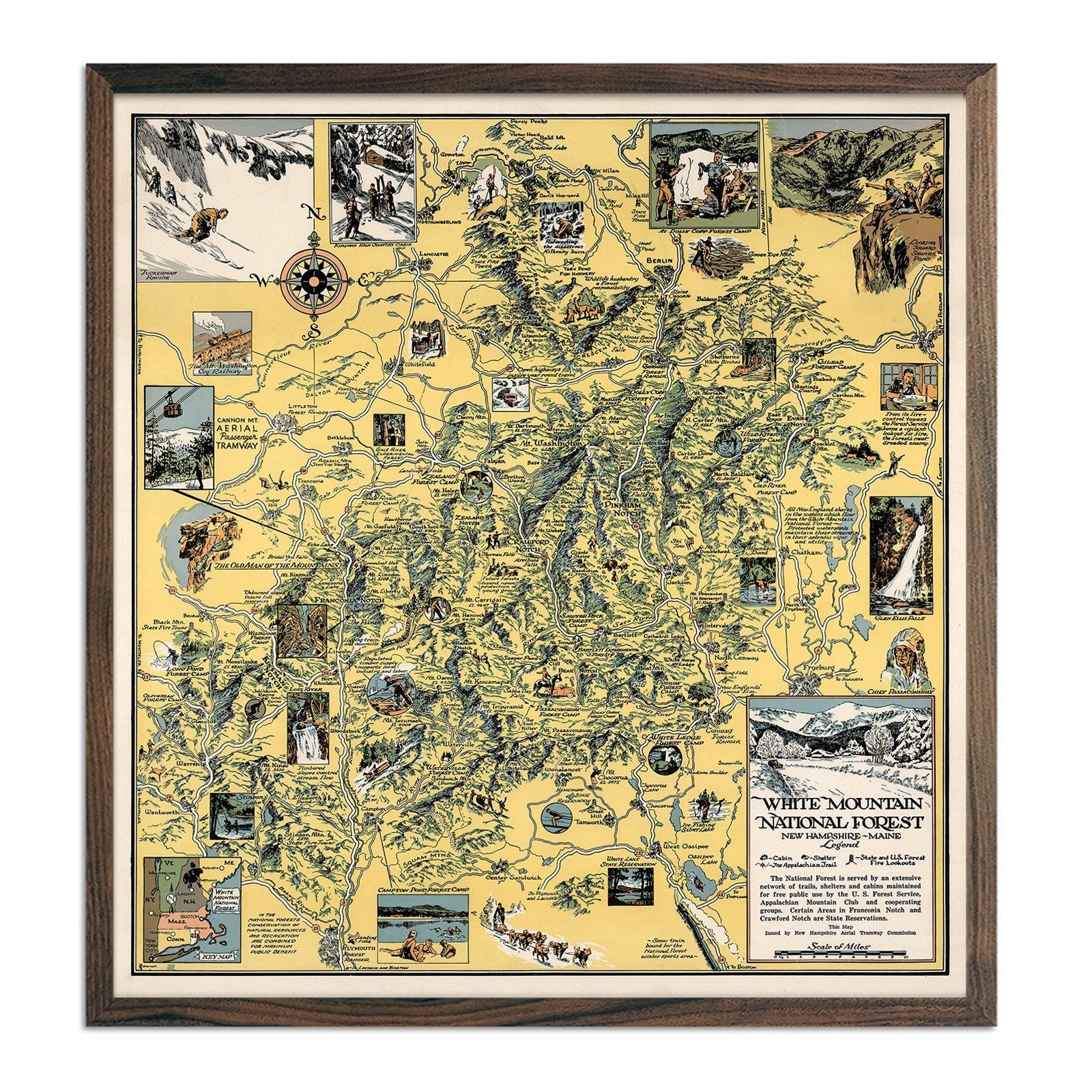
White Mountain National Forest
Regular price
From
$ 89.00 USD
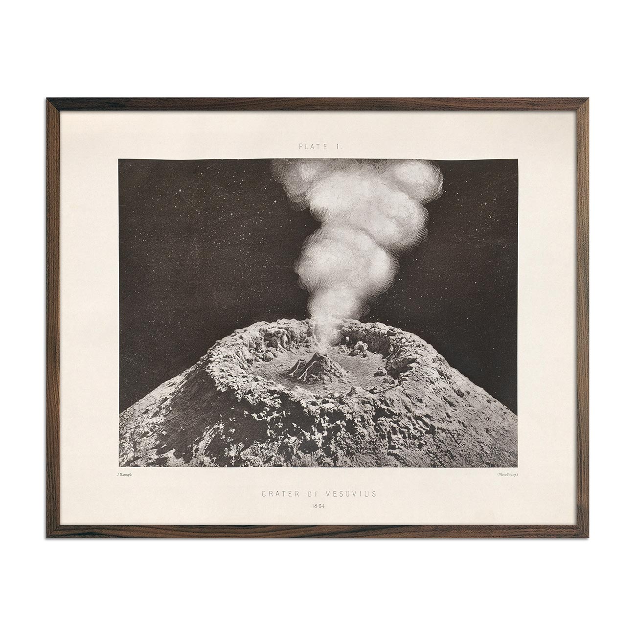
1874 Vesuvius Moon Crater Print
Regular price
From
$ 64.00 USD
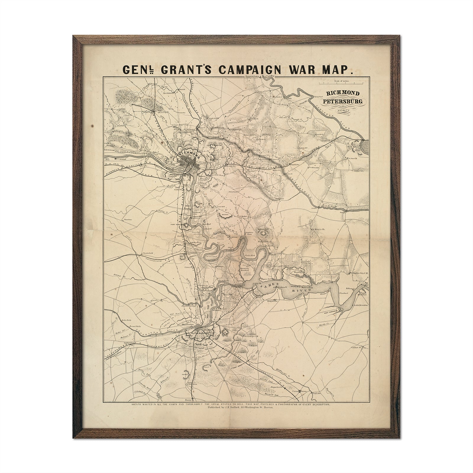
General Grant's Campaign War Map
Regular price
From
$ 64.00 USD
The National Political Chart 1861
Regular price
From
$ 79.00 USD
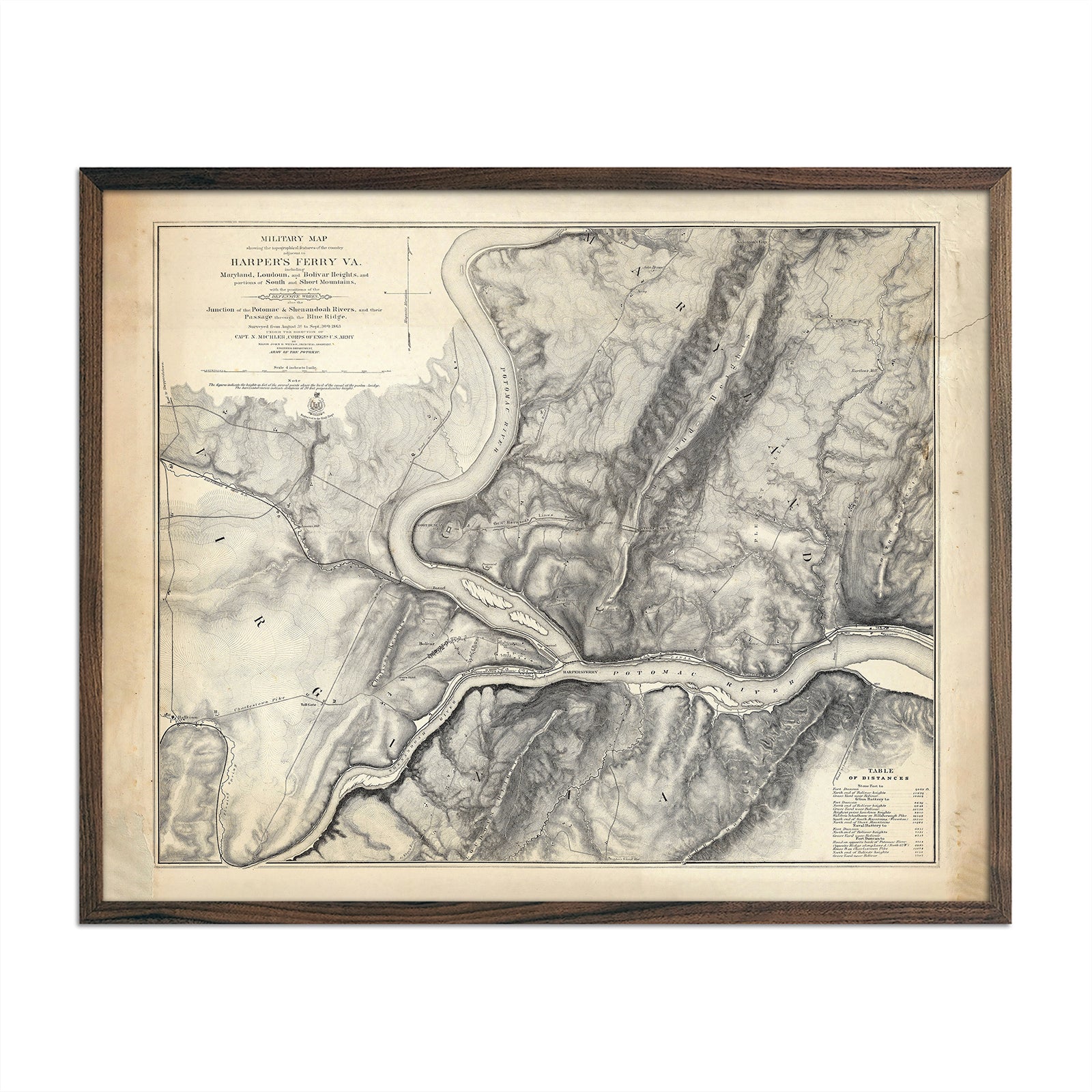
Military Map of Harper's Ferry, VA
Regular price
From
$ 64.00 USD
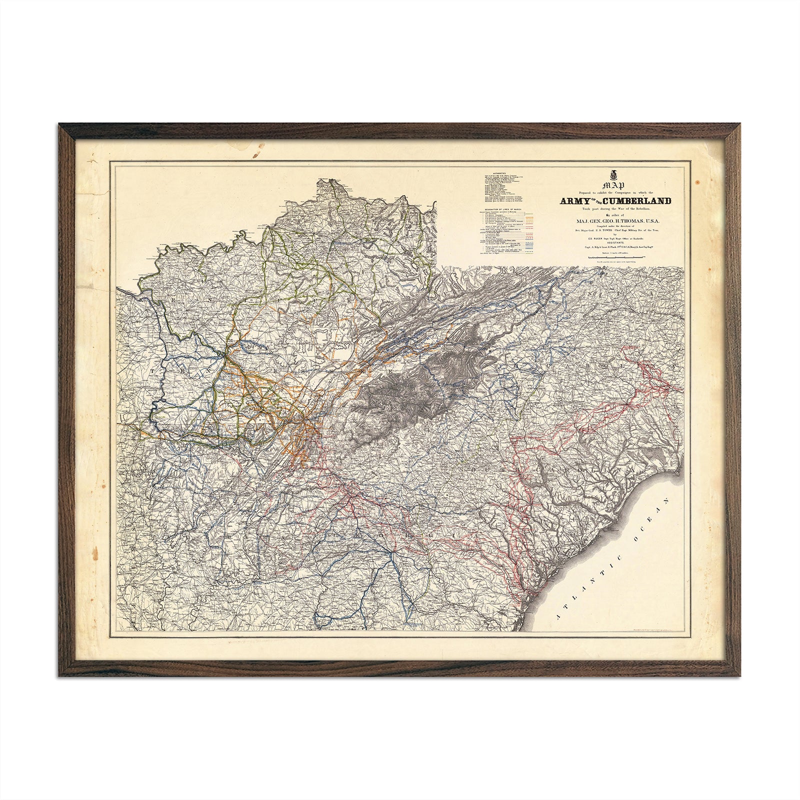
Campaigns in which Army of the Cumberland Took Part
Regular price
From
$ 64.00 USD
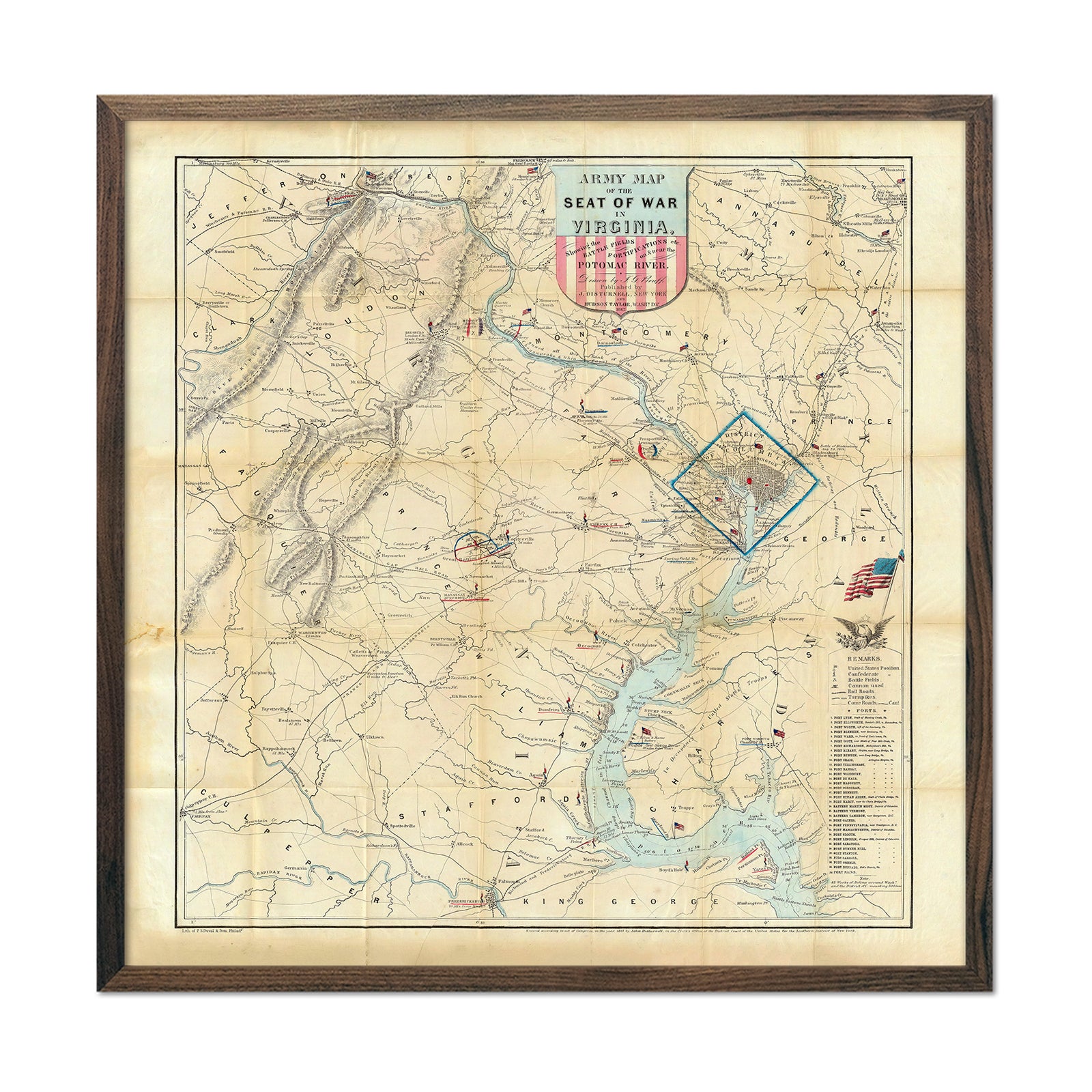
Army Map of the Seat of War in Virginia
Regular price
From
$ 89.00 USD
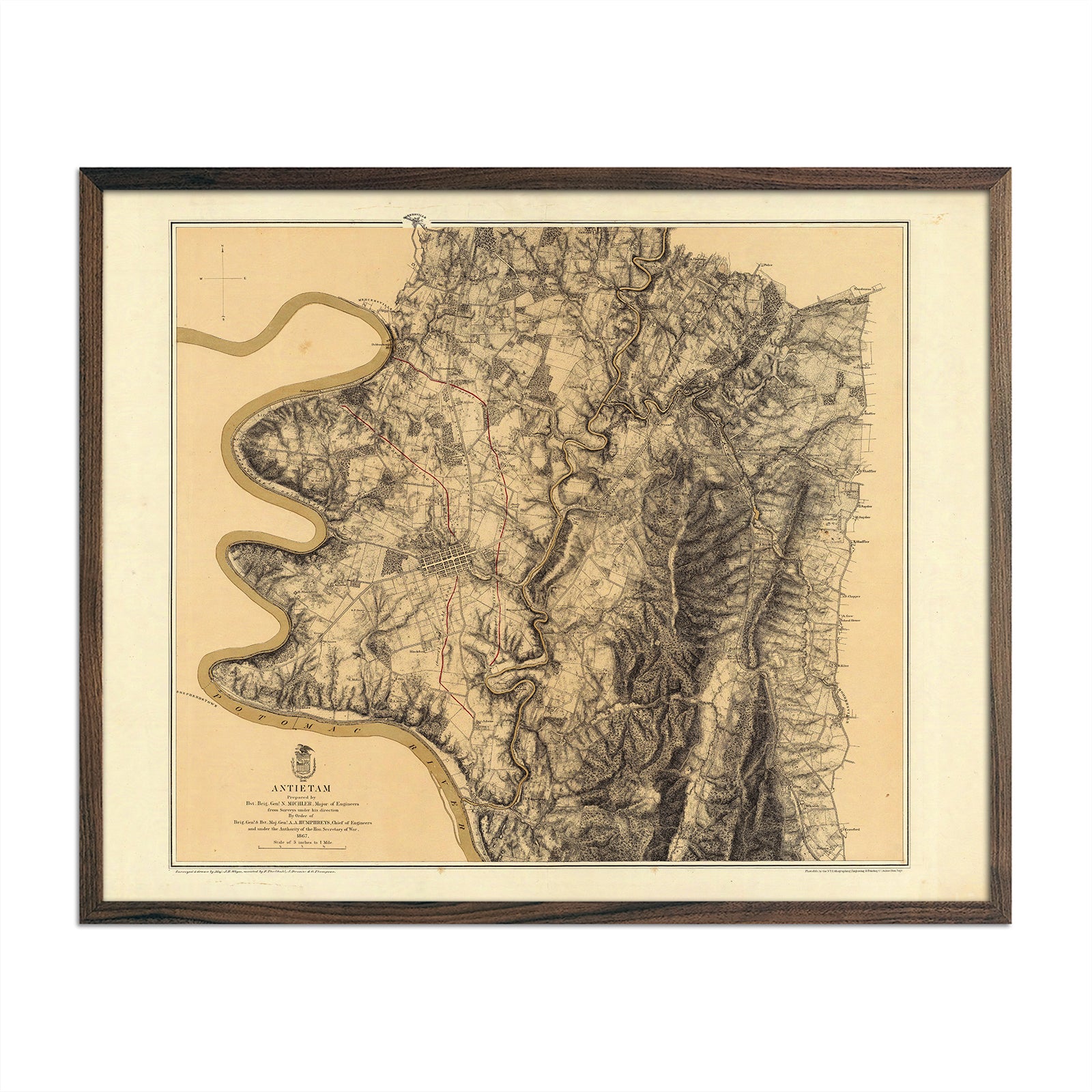
Antietam
Regular price
From
$ 64.00 USD
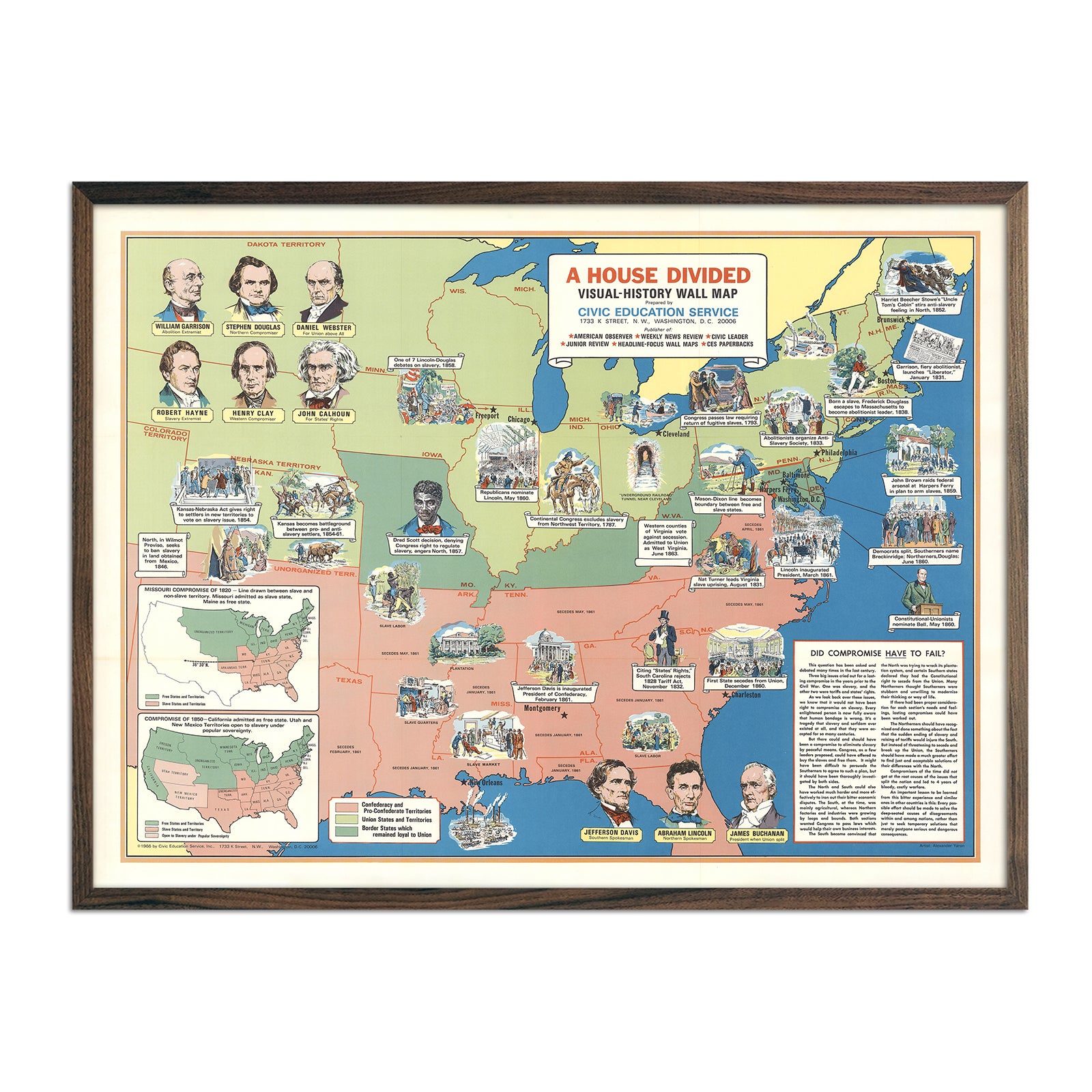
A House Divided
Regular price
From
$ 79.00 USD
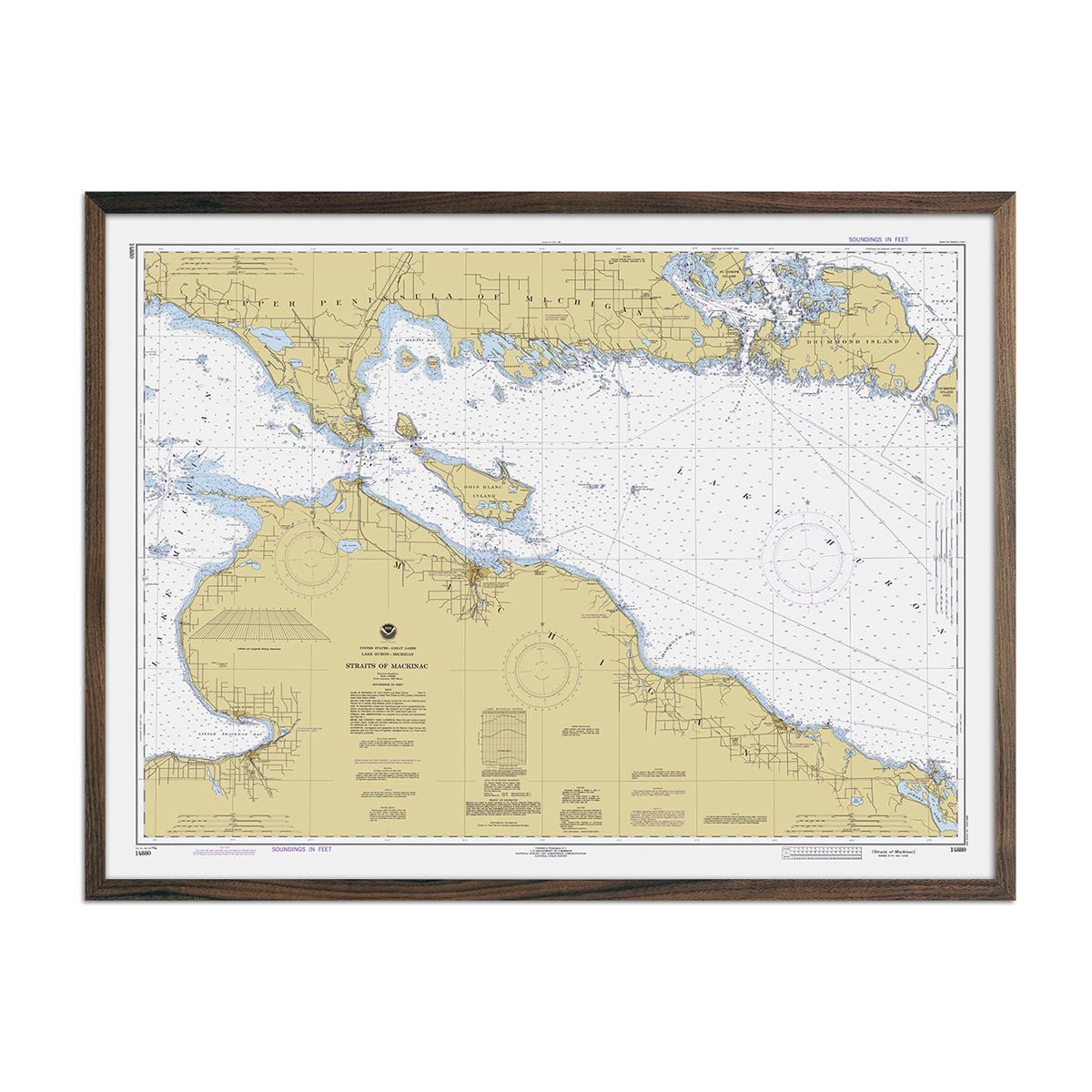
Straits of Mackinac Nautical Chart 1979
Regular price
From
$ 79.00 USD
5.0 / 5.0
1 review
Point Sur to San Francisco Nautical Chart 1948
Regular price
From
$ 64.00 USD
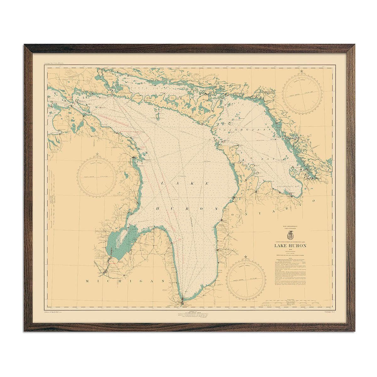
Lake Huron Nautical Chart 1940
Regular price
From
$ 64.00 USD
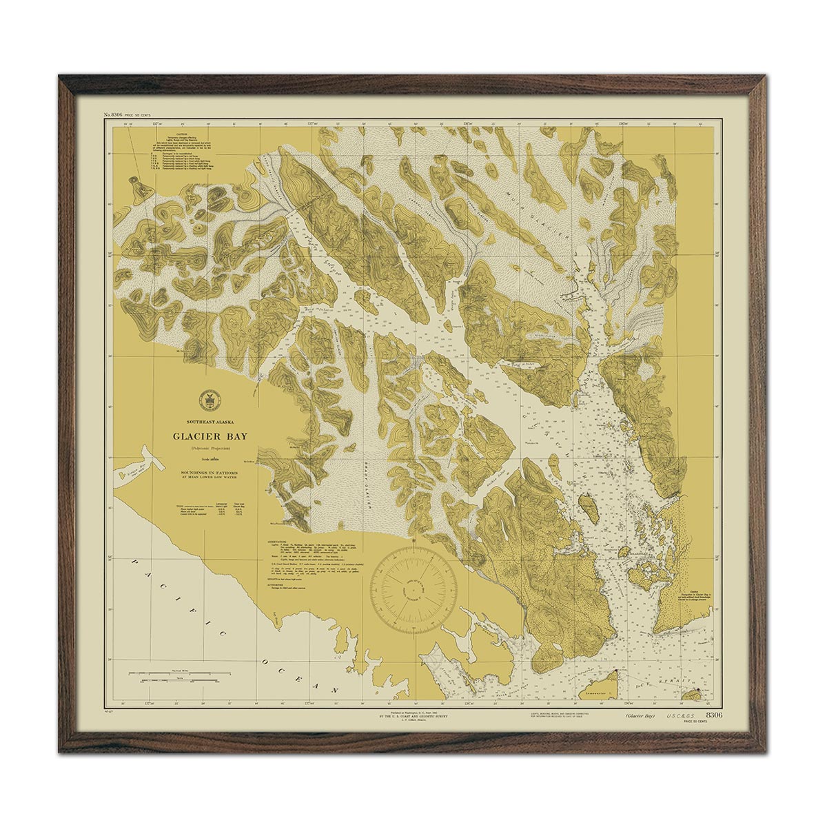
Glacier Bay, AK Nautical Chart 1942
Regular price
From
$ 89.00 USD
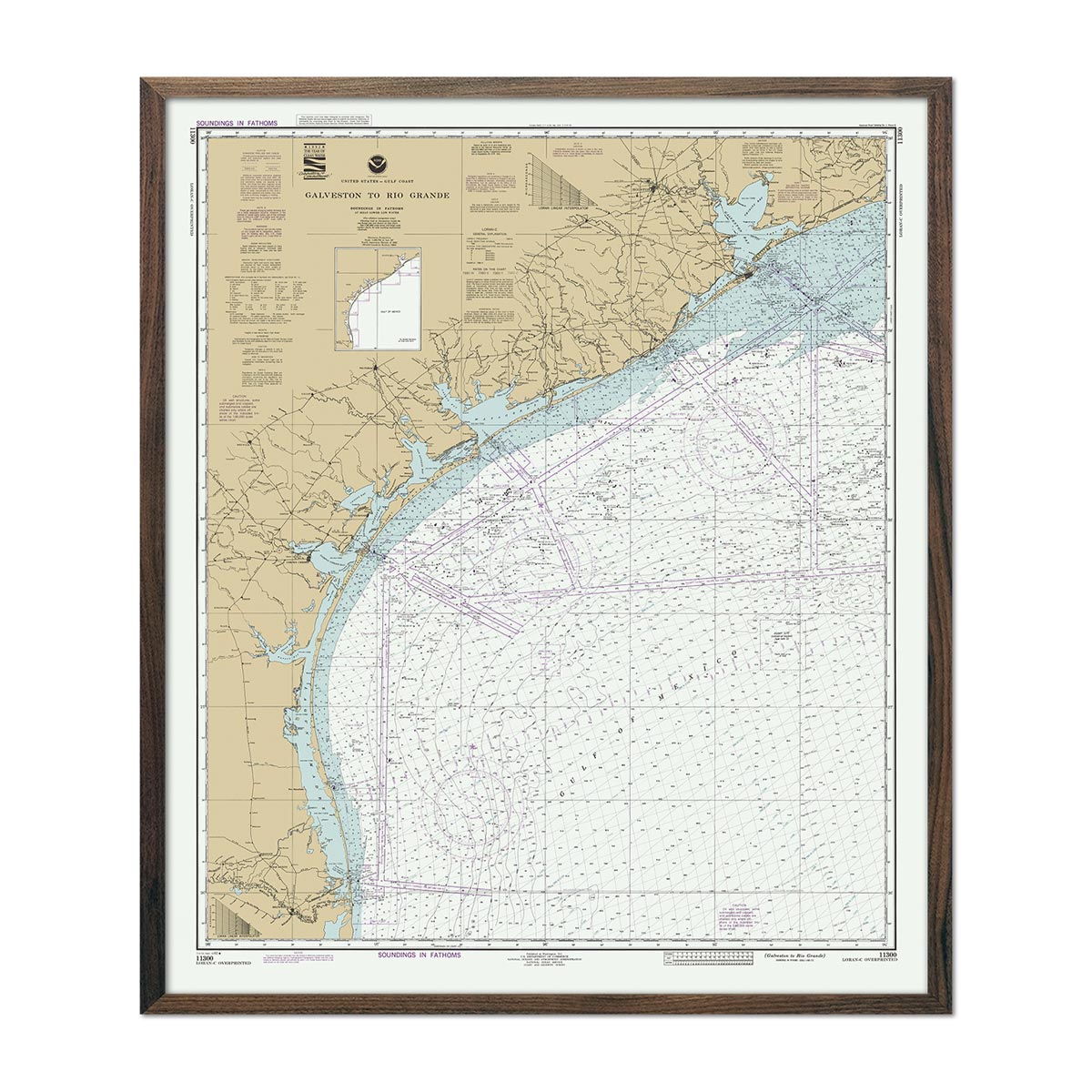
Galveston to Rio Grande Nautical Chart 1992
Regular price
From
$ 64.00 USD
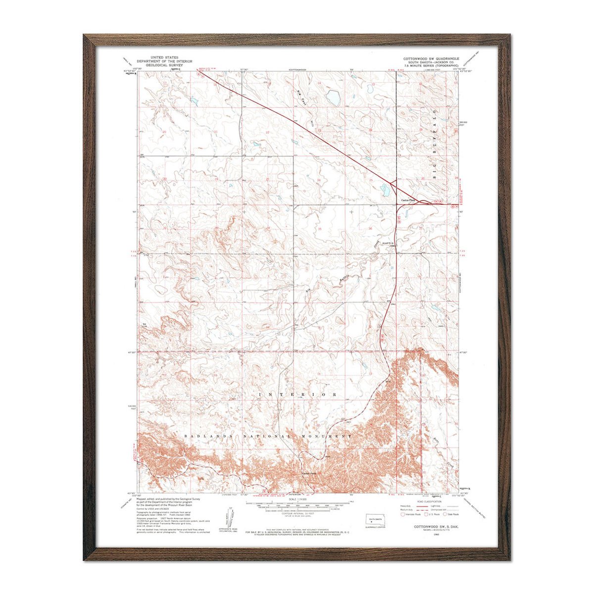
Badlands National Park 1960 USGS Map
Regular price
From
$ 64.00 USD
4.9 / 5.0
144 reviews
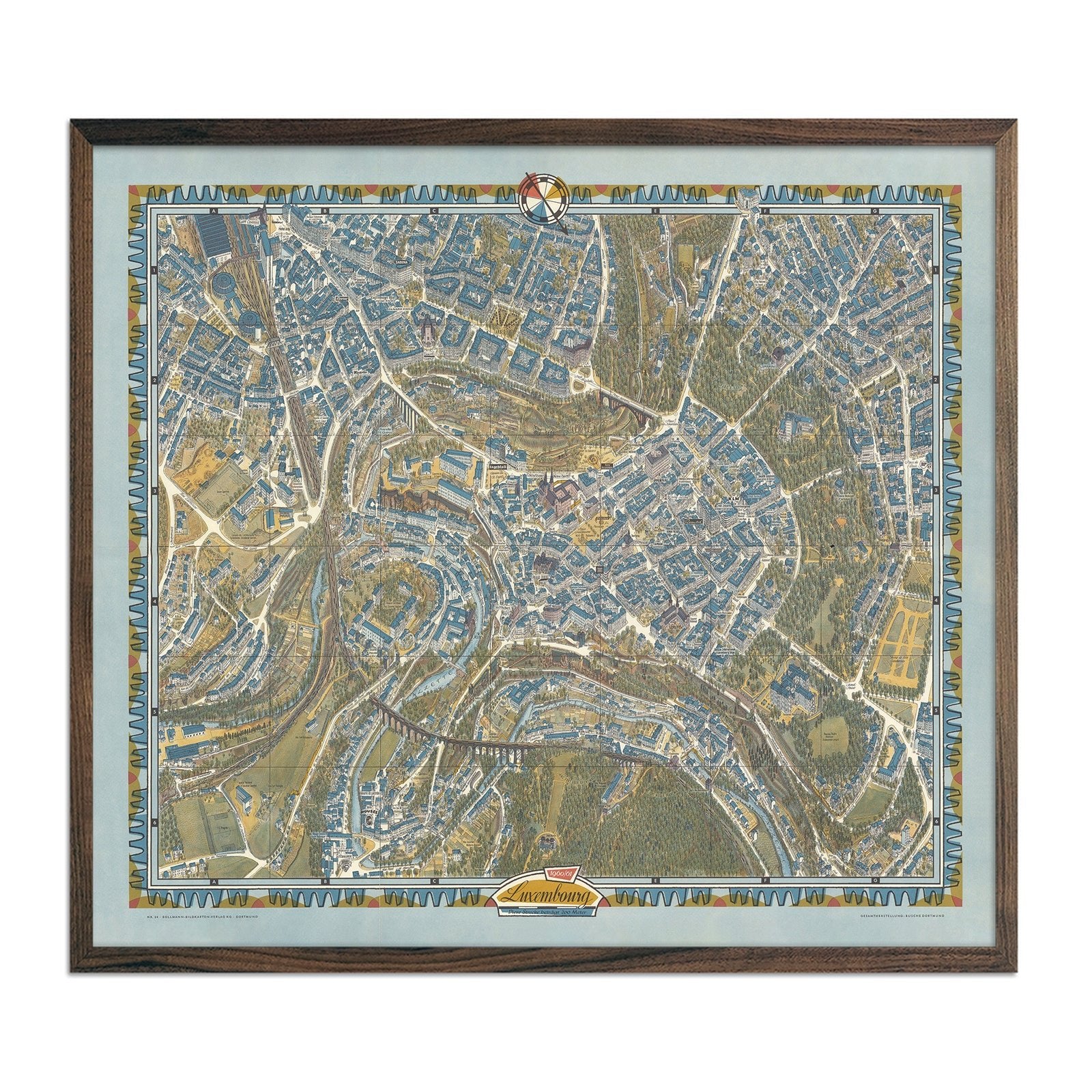
Luxembourg City 1961 Map
Regular price
From
$ 99.00 USD
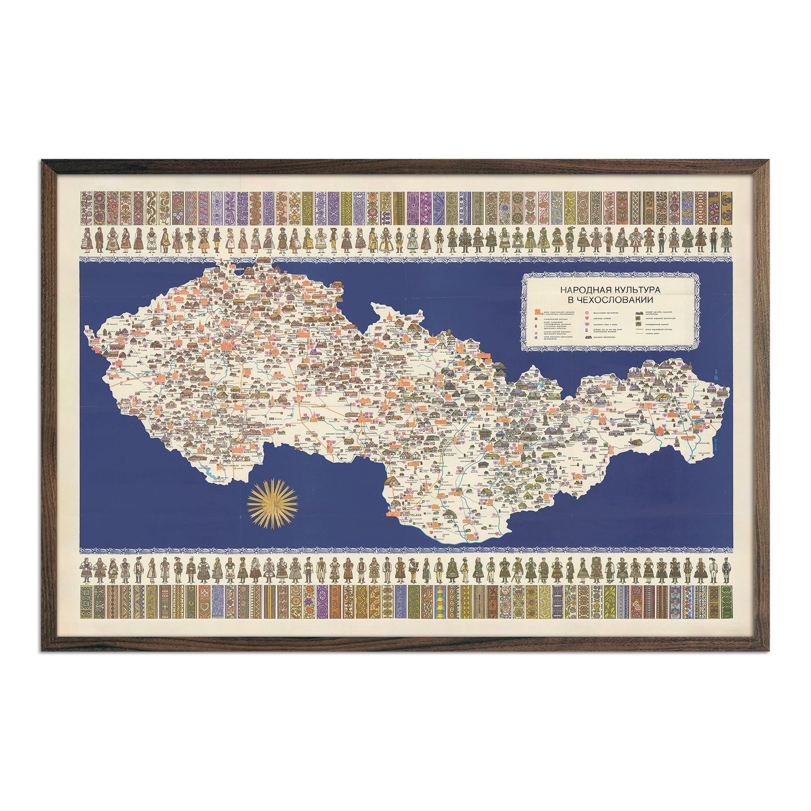
Czechoslovakia Pictorial Map
Regular price
From
$ 69.00 USD
Overland Routes of the Pioneer West
Regular price
From
$ 69.00 USD
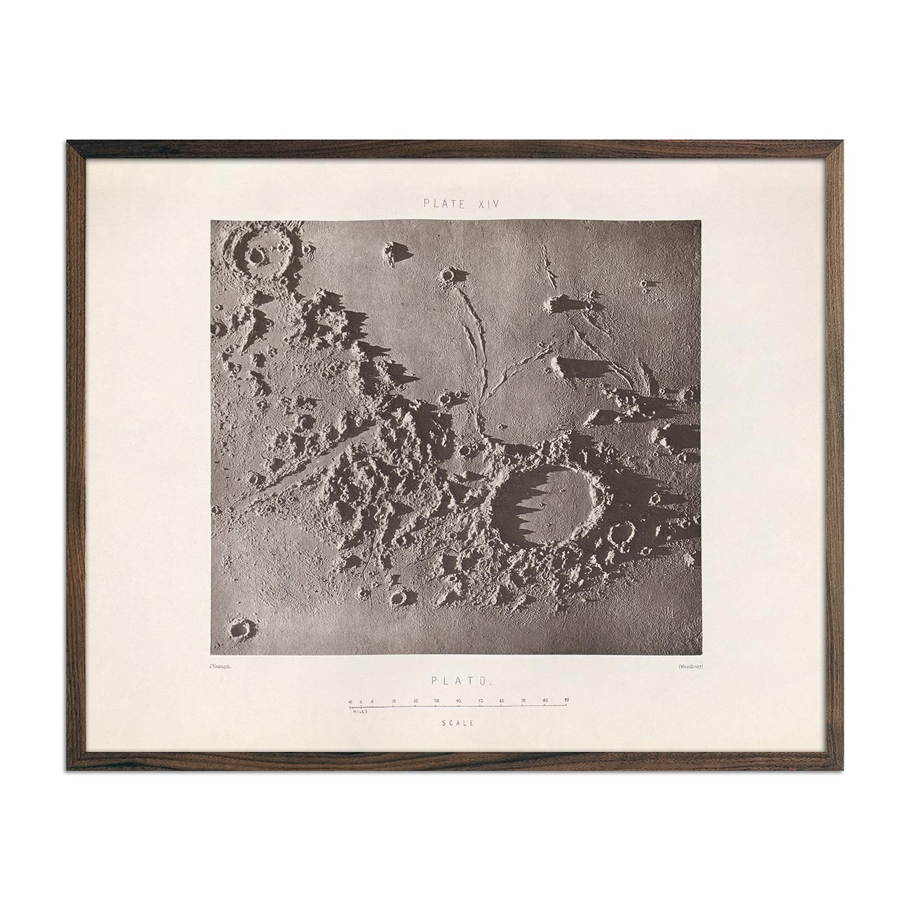
1874 Plato Crater Print
Regular price
From
$ 64.00 USD
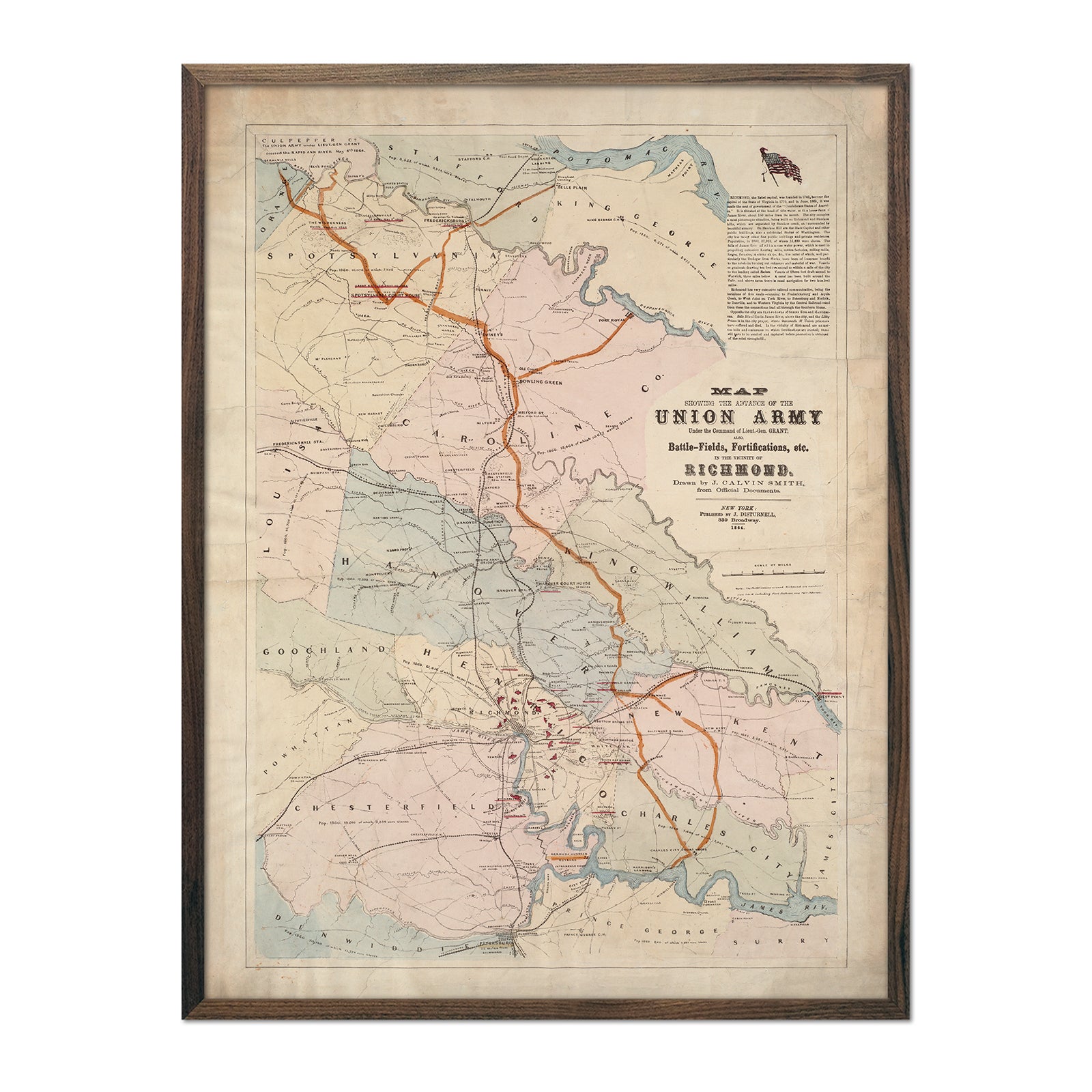
Union Army Map of Richmond
Regular price
From
$ 79.00 USD
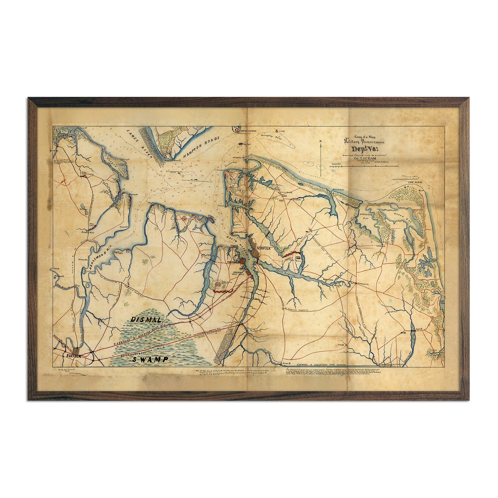
Military Map of Hampton Roads and Norfolk regions
Regular price
From
$ 79.00 USD
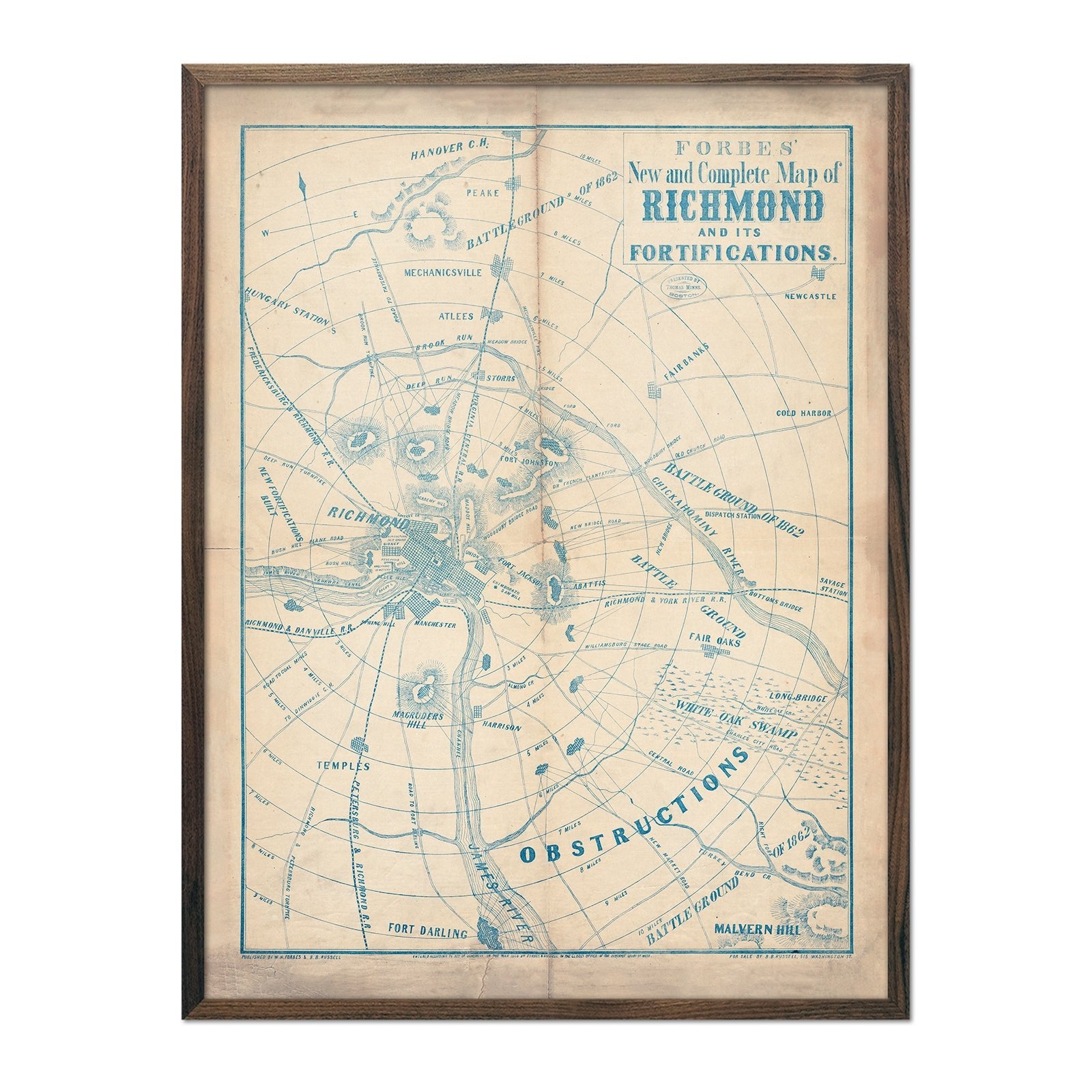
Forbes' New and Complete Map of Richmond and Its Fortifications
Regular price
From
$ 79.00 USD
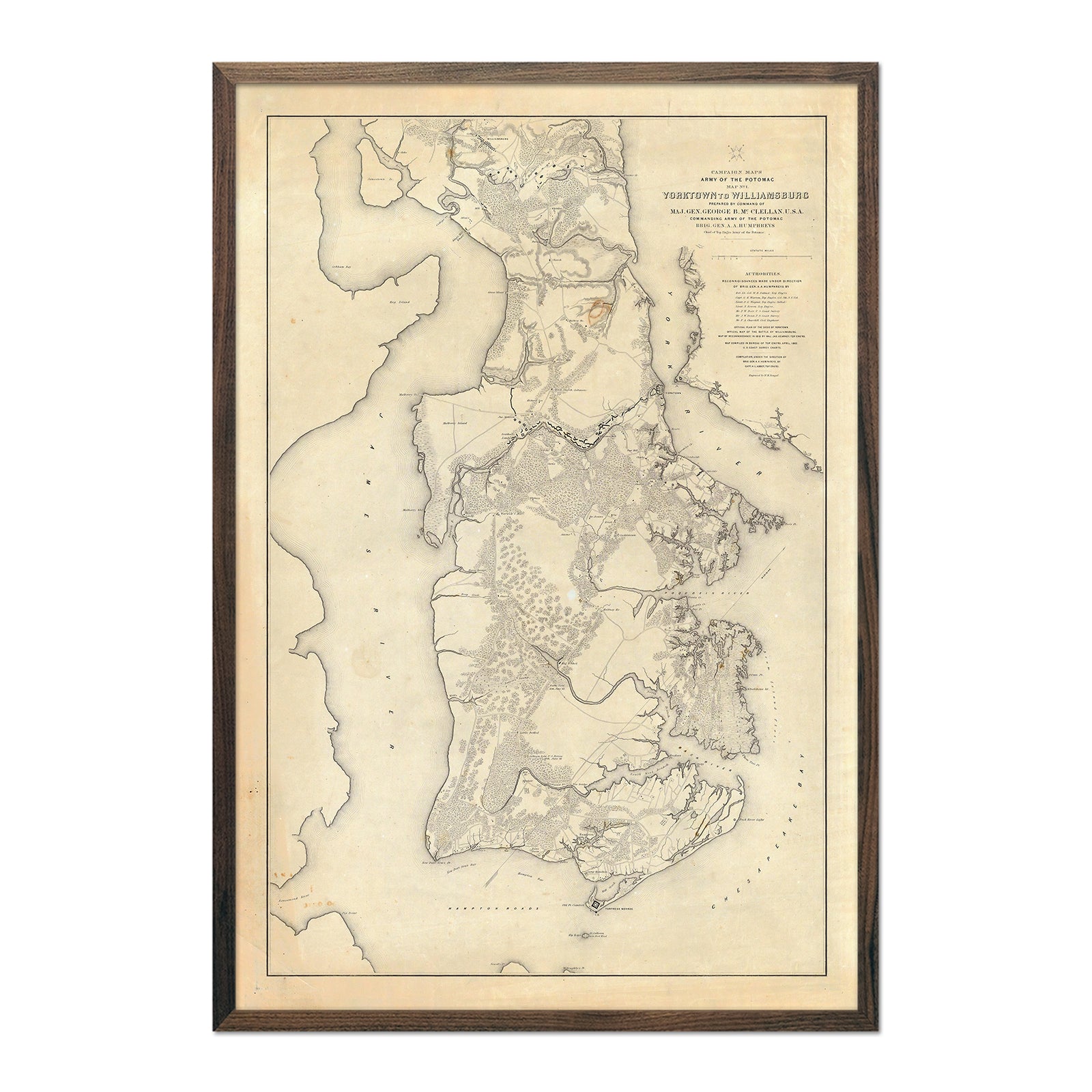
Yorktown to Williamsburg
Regular price
From
$ 79.00 USD
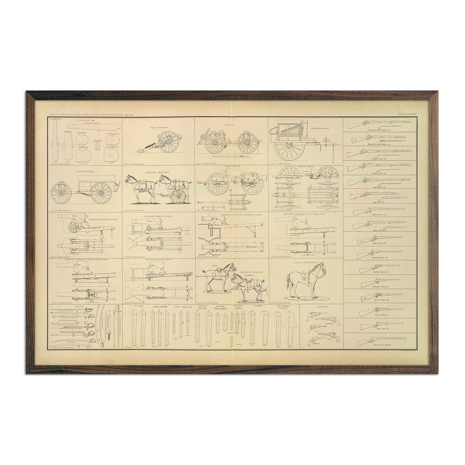
Ordnance, Stores, etc. of the Civil War
Regular price
From
$ 79.00 USD
« Previous
·
1
…
3
4
5
6
7
8
·
Next »
Your cart
Close
Spend
$ 49.00 USD
more for
free shipping
!
Your order is eligible for free shipping!
You may also like
Previous
Next
The Lake Tahoe Tumbler
Regular price
$ 59.00 USD
Add to cart
Close
Your cart is empty
Start shopping