Skip to content
Facebook
Instagram
Pinterest
FREE SHIPPING ON ORDERS OVER $49
Country/Region
United States (USD $)
United States (USD $)
Best Sellers
3D "Factory Seconds" Sale
Shop by Region
Shop by Type
Historical Prints
Home Goods
About Us
Search for your map
Account
Cart
Popular Collections
Best Sellers
Shop by Region
Maps of USA
State Maps
International Maps
National Park Maps
Shop by Type
3D RAISED Relief Maps
Hydrological Maps
Custom Wood Carved Map
Regular price
From
$ 300.00 USD
5.0 / 5.0
3 reviews
Vintage Shaded Relief Maps
Elevation Maps
Natural Atlas
TOPO Series
National Parks Series
Shaded Relief Series
Range Series
Digital Gift Card
Regular price
From
$ 20.00 USD
5.0 / 5.0
5 reviews
Walnut Frames "Factory Seconds"
Historical Prints
1884 Fish Drawings
1875 Zoology Lithographs
1868 Yosemite Photographs
1873 Yellowstone Photographs
1874 Moon Photography
Astronomy
Civil War Maps
Historical Nautical Charts
Vintage Maps - Misc
USGS Quadrant Maps
1876 State Map Collection
1876 Geologic & Topographic
1883 US State Maps
1904 Yellowstone Maps
1906 Hawaiian Islands Maps
Apparel/Home Goods
Glasses
Books
Tees
Hats
Blankets
Walnut Frame for 3D Raised Relief Map
Regular price
From
$ 220.00 USD
5.0 / 5.0
1 review
About Us
Our Story
Reviews
FAQs
Shipping and Returns
Contact Us
Best Sellers
3D "Factory Seconds" Sale
Shop by Region
USA Maps
State Maps
International Maps
National Park Maps
Shop by Type
Collections
3D RAISED Relief
2D Vintage Shaded Relief
Hydrology Series
Custom Maps
Golf Courses - 3D Wood
2D Elevation Relief
Natural Atlas Maps
TOPO Series
National Park Series
2D Shaded Relief
Mountain Range
Gift Cards
Walnut Frames
3D RAISED Relief Maps
Hydrological Maps
3D Raised Relief
Historical Prints
Illustrations and Photographs
1884 Fish Drawings
1875 Zoology Drawings
1868 Yosemite Photos
1873 Yellowstone Photos
1874 Moon Photos
Historical Maps
Astronomy
Civil War Maps
Nautical Maps
Assorted Vintage
USGS Quadrant Maps
1876 State Maps
1876 Geologic/Topographic
1883 State Maps
1904 Yellowstone Maps
1906 Hawaii Maps
1884 Fish Drawings
Civil War Maps
Astronomy
Astronomy
Home Goods
Mountain Glasses
Field Guides
Books
Tees
Hats
Topo Blankets
Walnut Frames
Mountain Glasses
Tees
Books
About Us
Our Story
Reviews
FAQs
Shipping and Returns
Contact Us
Vintage Map Best Sellers
Filter
Sort by
Best selling
Most relevant
Best selling
Alphabetically, A-Z
Alphabetically, Z-A
Date, old to new
Date, new to old
Filters
Sort by
Most relevant
Best selling
Alphabetically, A-Z
Alphabetically, Z-A
Date, old to new
Date, new to old
Apply
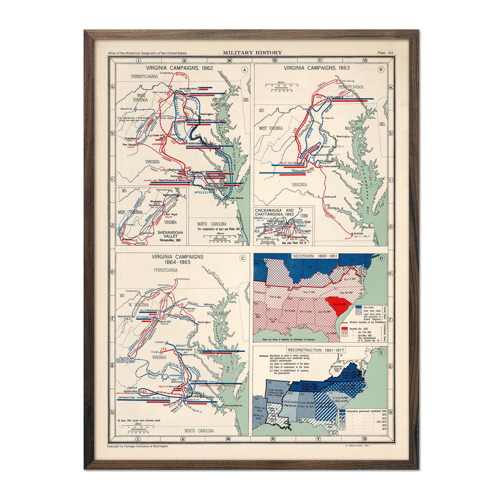
Military History of the Virginia Campaigns
Regular price
From
$ 79.00 USD
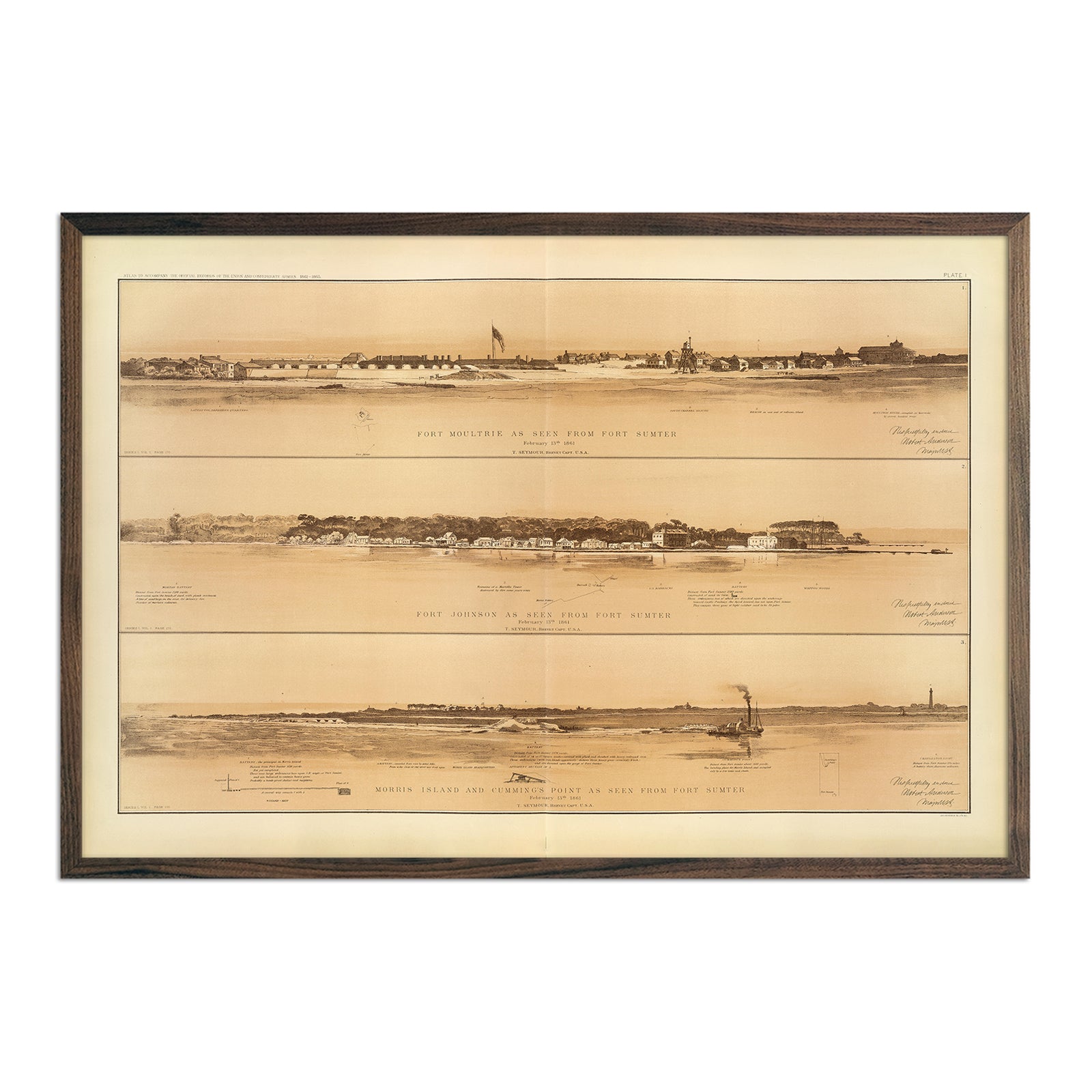
Ft. Moultrie, Ft. Johnson, Morris Island, Cumming's Pt. as seen from Ft. Sumter
Regular price
From
$ 79.00 USD
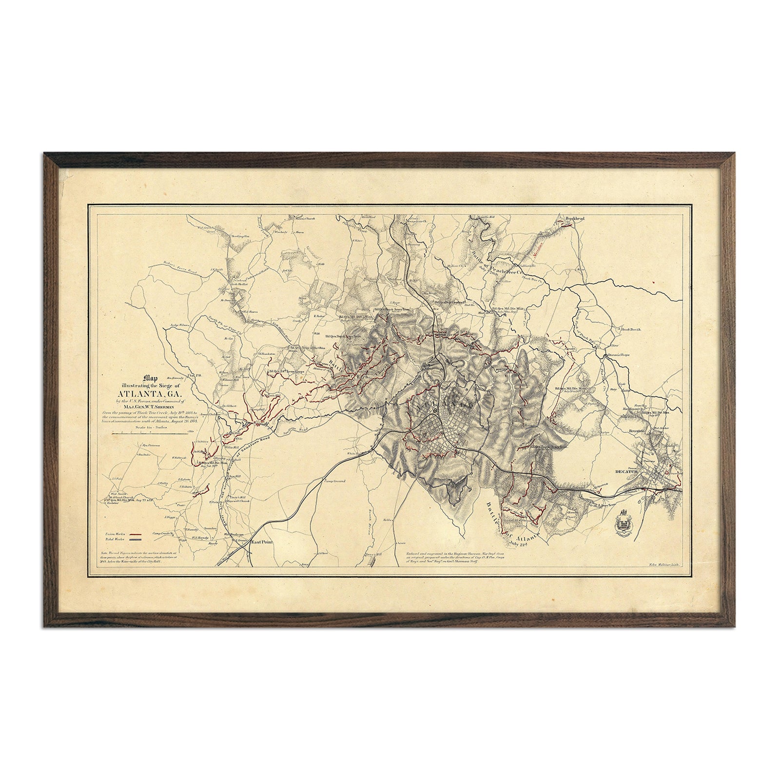
Map Illustrating Siege of Atlanta, GA
Regular price
From
$ 79.00 USD
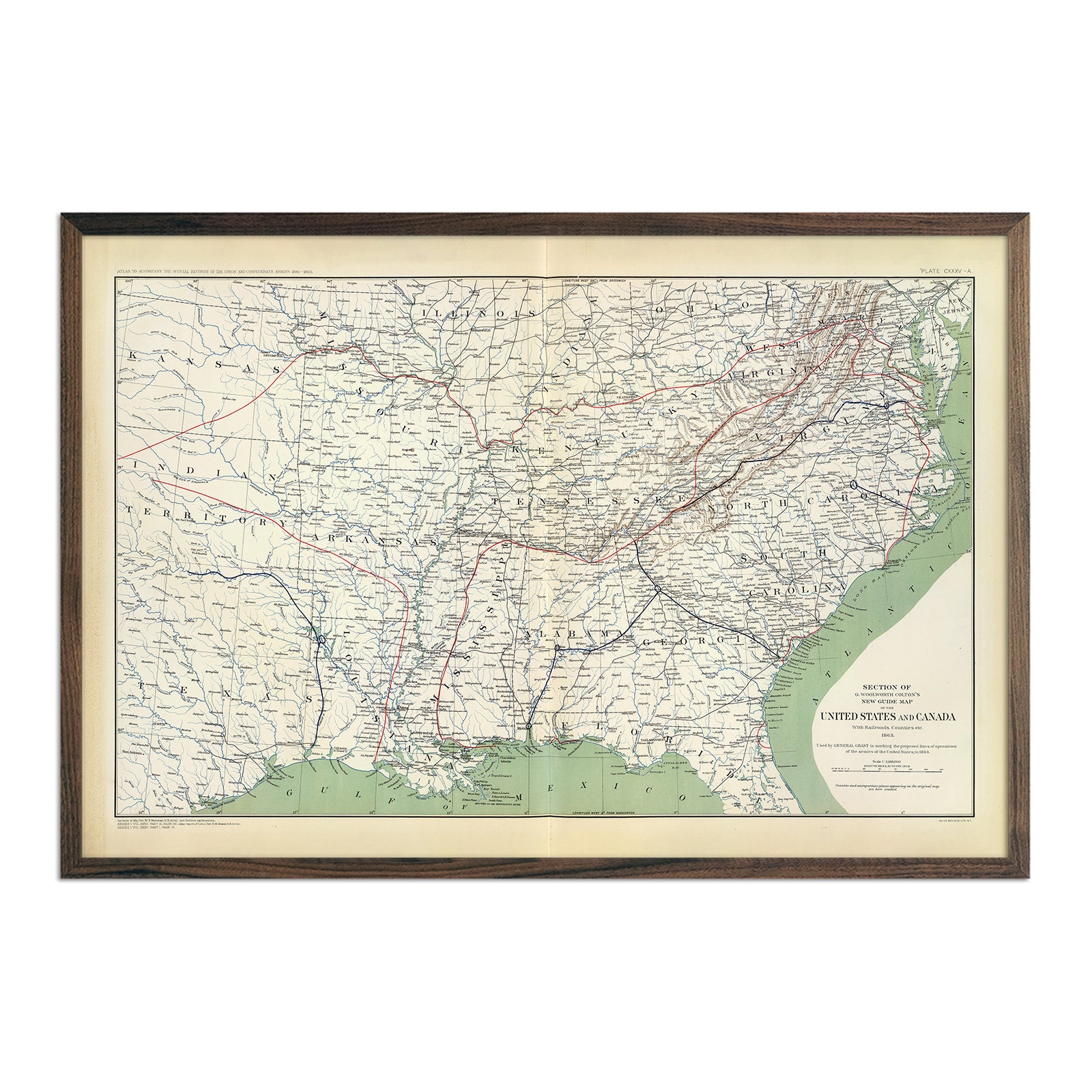
Colton's US Section Map 1863
Regular price
From
$ 79.00 USD
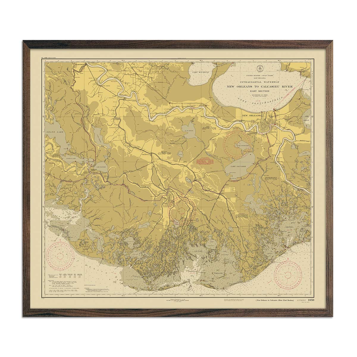
New Orleans to Calcasieu River East Section Nautical Chart 1939
Regular price
From
$ 99.00 USD
Denver Trails, CO 1976 USGS Map
Regular price
From
$ 64.00 USD
4.9 / 5.0
144 reviews
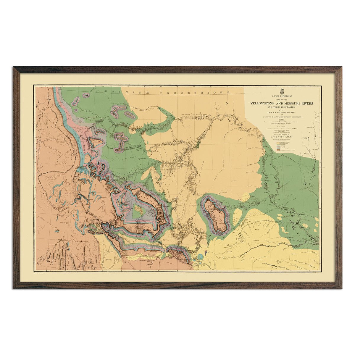
Yellowstone and Missouri Rivers Map 1869
Regular price
From
$ 69.00 USD
5.0 / 5.0
112 reviews
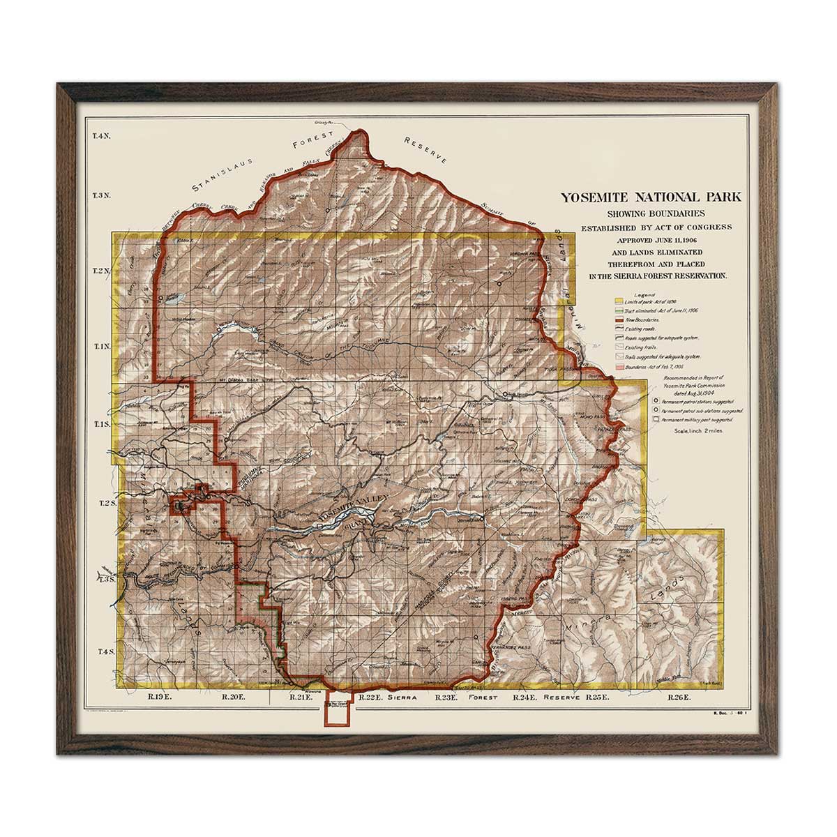
Yosemite National Park 1906 Map
Regular price
From
$ 69.00 USD
5.0 / 5.0
112 reviews
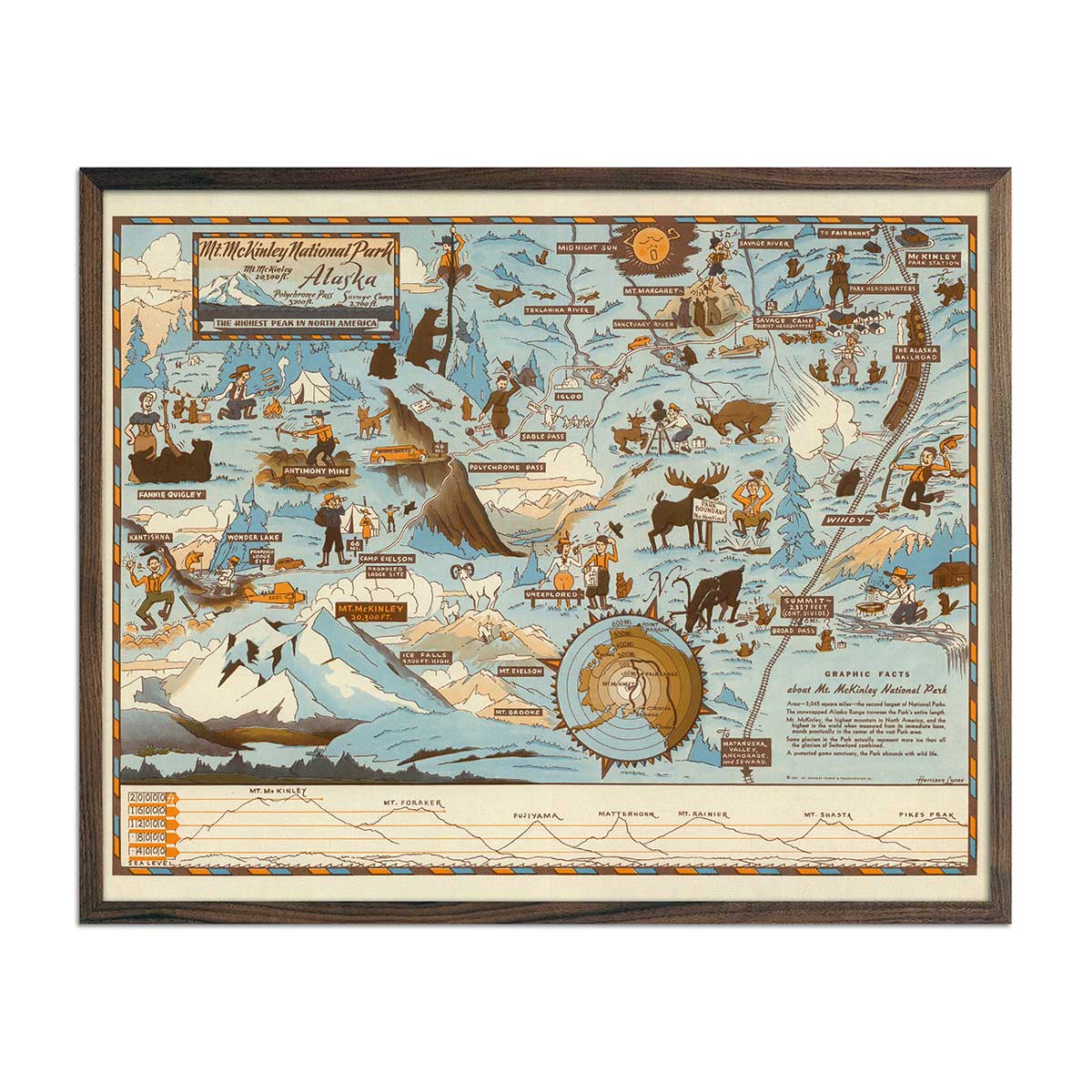
Mt. McKinley National Park Map 1937
Regular price
From
$ 64.00 USD
5.0 / 5.0
112 reviews
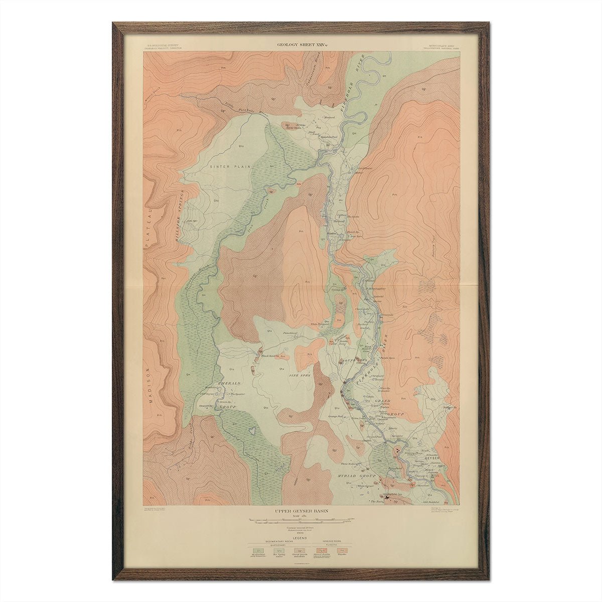
Yellowstone Geologic Map of Upper Geyser Basin 1904 Map
Regular price
From
$ 69.00 USD
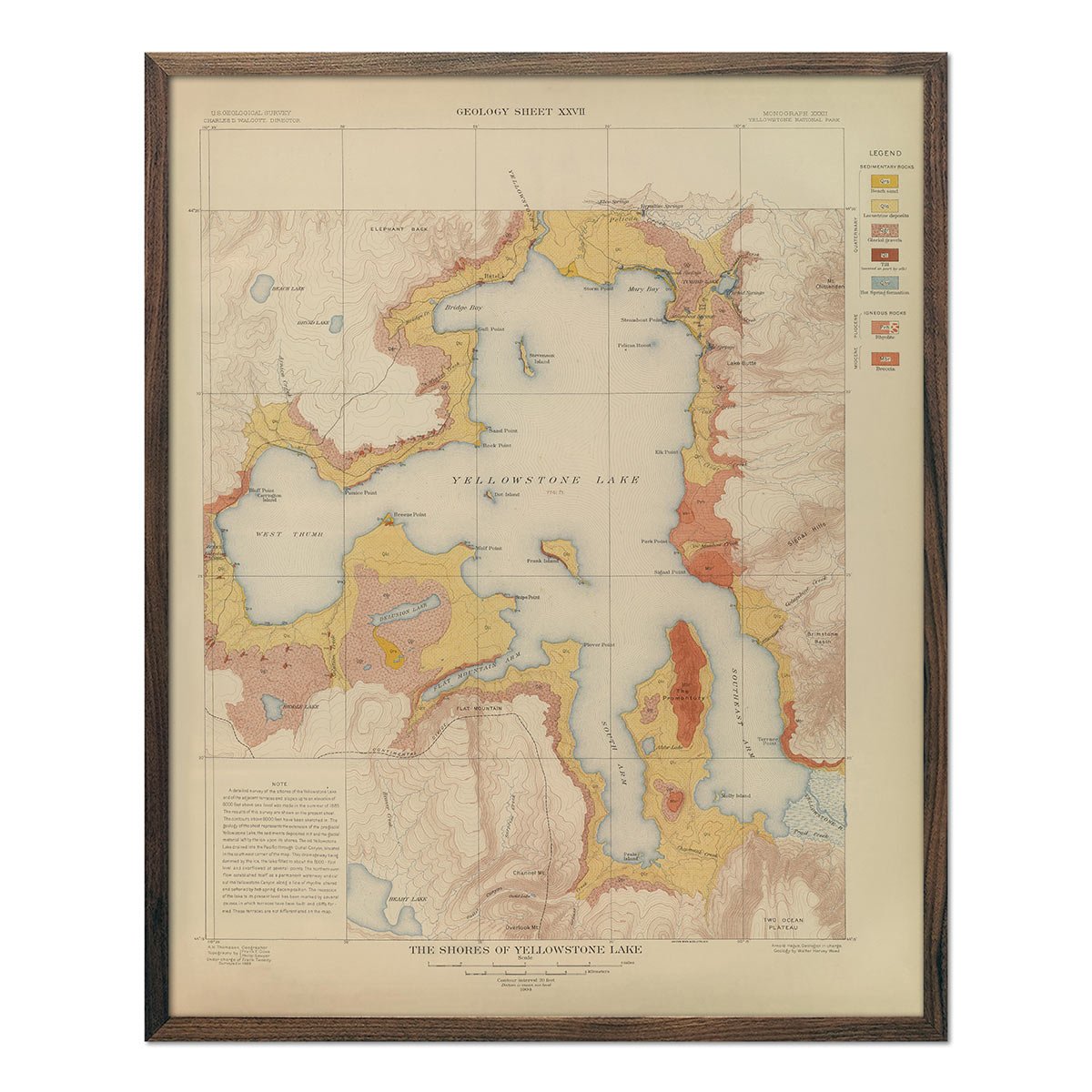
Yellowstone Geologic Map of the Shores of Yellowstone Lake 1904 Map
Regular price
From
$ 64.00 USD
5.0 / 5.0
1 review
Yellowstone Topographic Map of Mammoth Hot Springs 1904 Map
Regular price
From
$ 64.00 USD
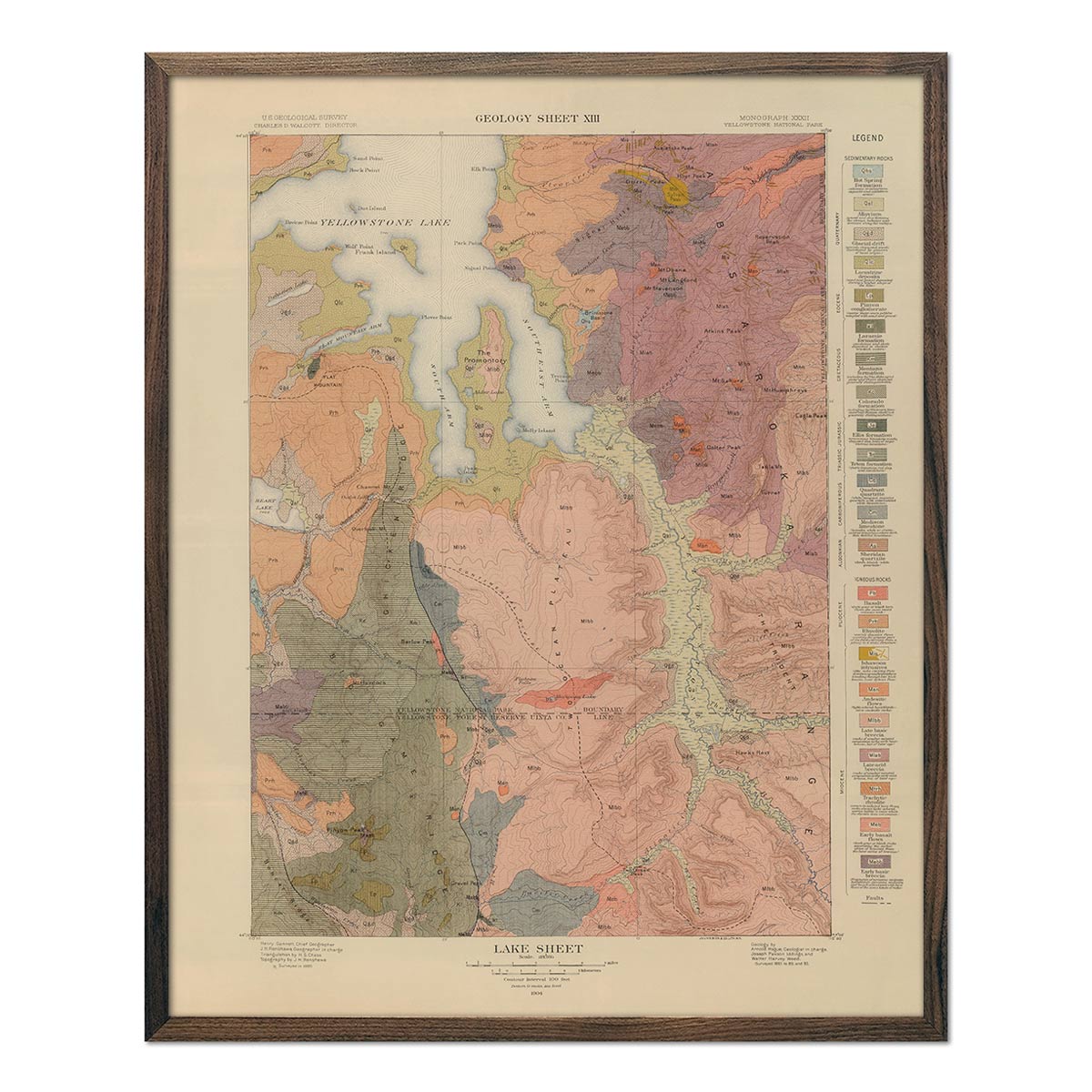
Yellowstone Geologic Map of Lake Section 1904 Map
Regular price
From
$ 64.00 USD
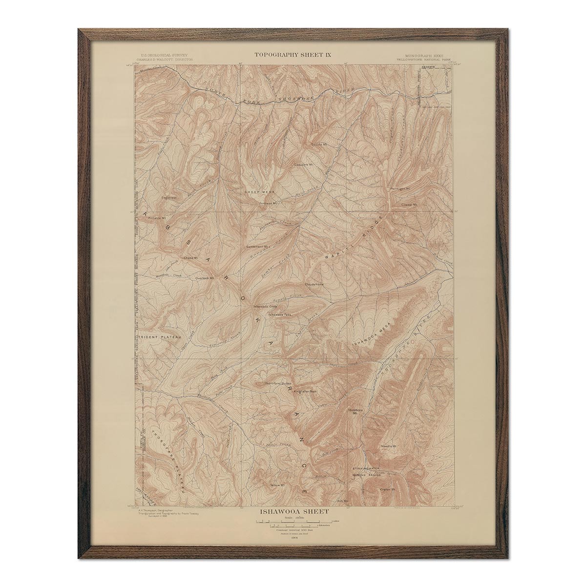
Yellowstone Topographic Map of Ishawooa 1904 Map
Regular price
From
$ 64.00 USD
Yellowstone Topographic Map of Gallatin 1904 Map
Regular price
From
$ 64.00 USD
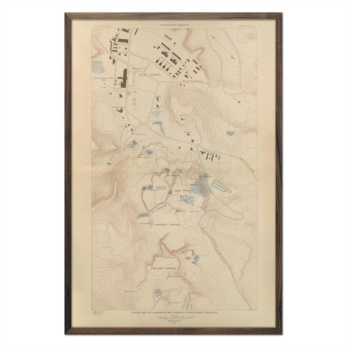
Yellowstone Topographic Map of Mammoth Springs and Travertine Terraces 1904 Map
Regular price
From
$ 69.00 USD
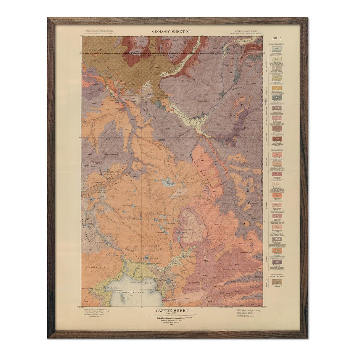
Yellowstone Geologic Map of Canyon Section 1904 Map
Regular price
From
$ 64.00 USD
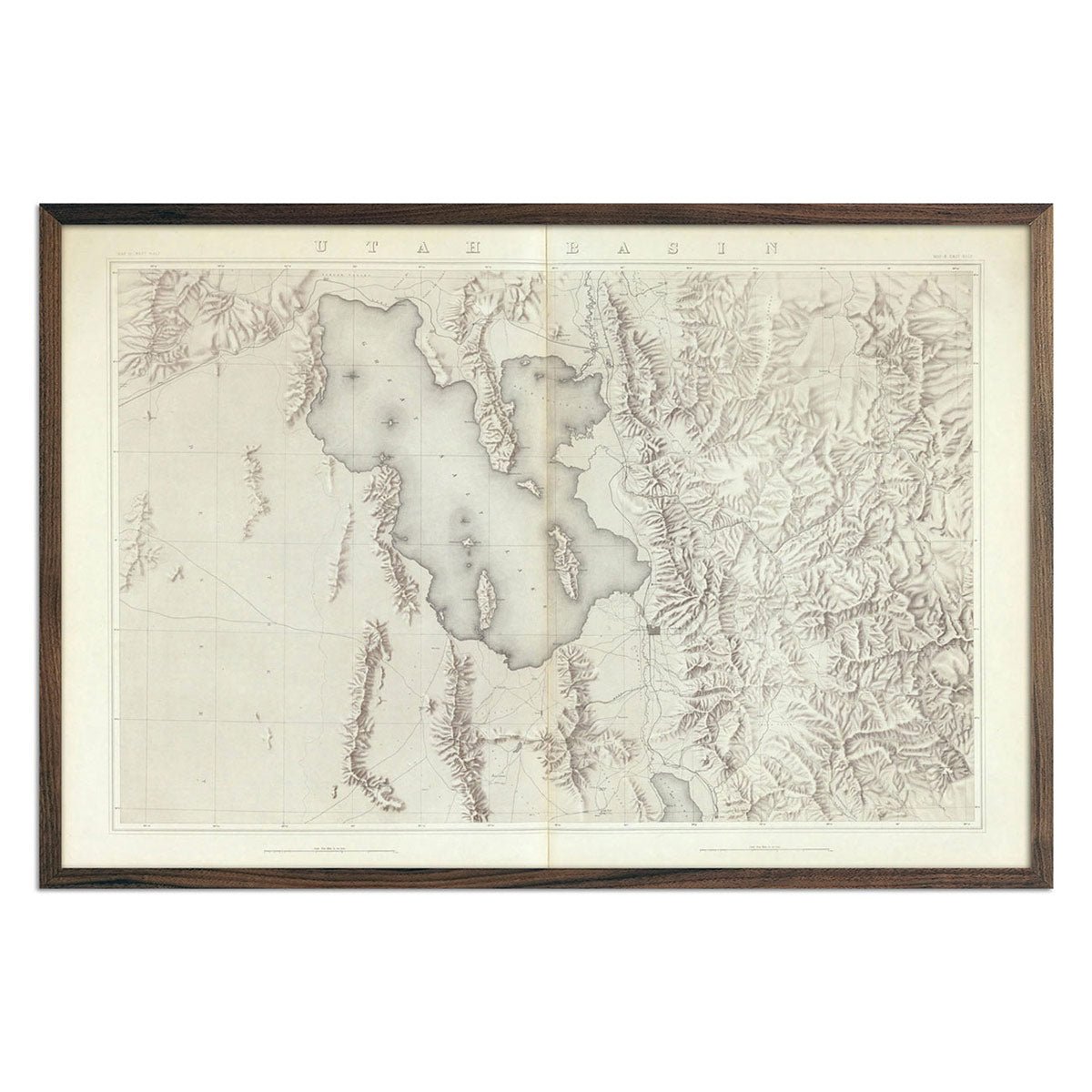
Utah Basin 1876 Topographic Map
Regular price
From
$ 69.00 USD
5.0 / 5.0
4 reviews
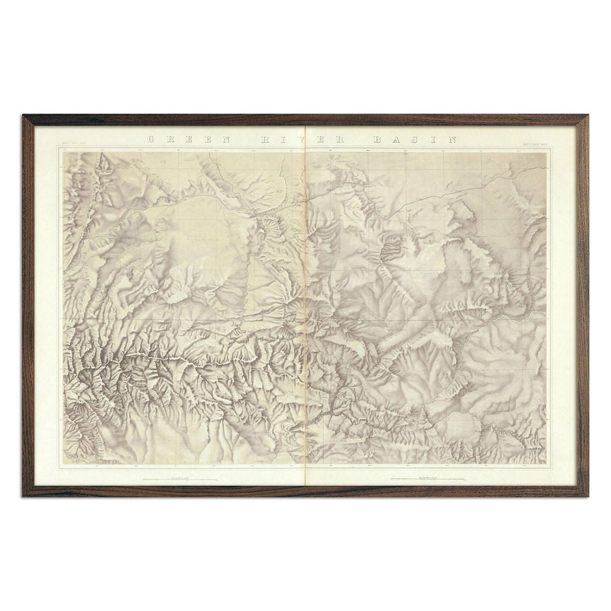
Green River Basin 1876 Topographic Map
Regular price
From
$ 69.00 USD
5.0 / 5.0
4 reviews
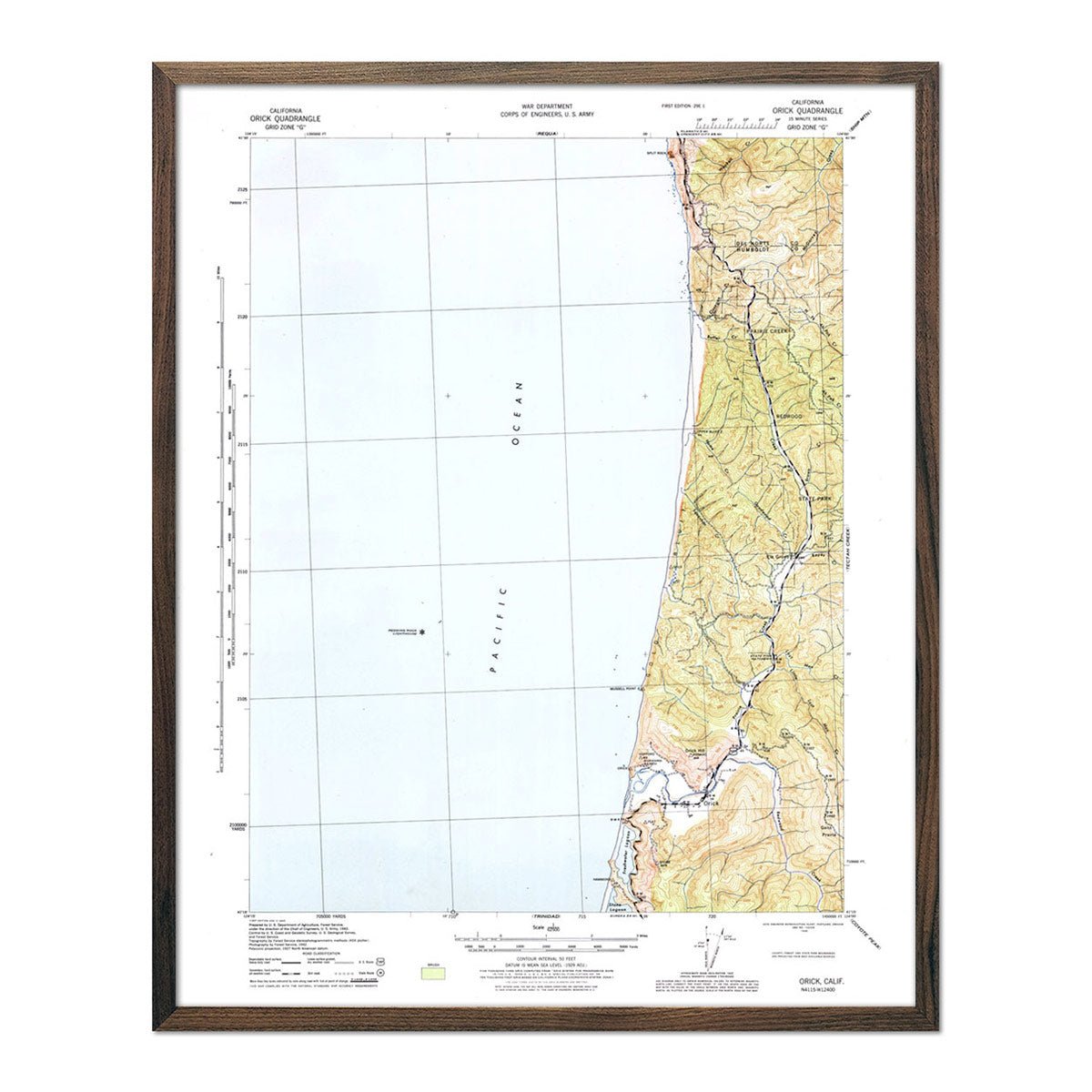
Redwood National Park 1945 USGS Map
Regular price
From
$ 64.00 USD
4.9 / 5.0
144 reviews
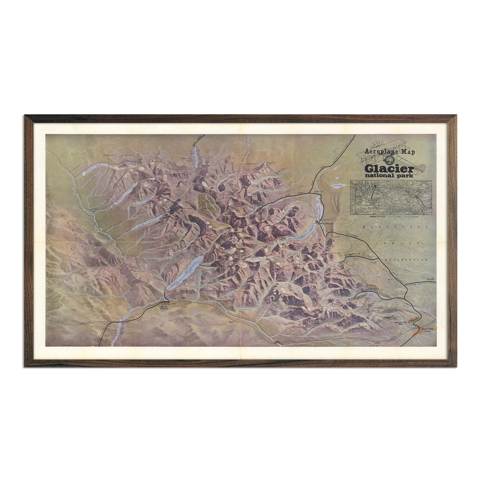
Glacier National Park 1910 Aeroplane Map
Regular price
From
$ 89.00 USD
India 1942 Map
Regular price
From
$ 79.00 USD
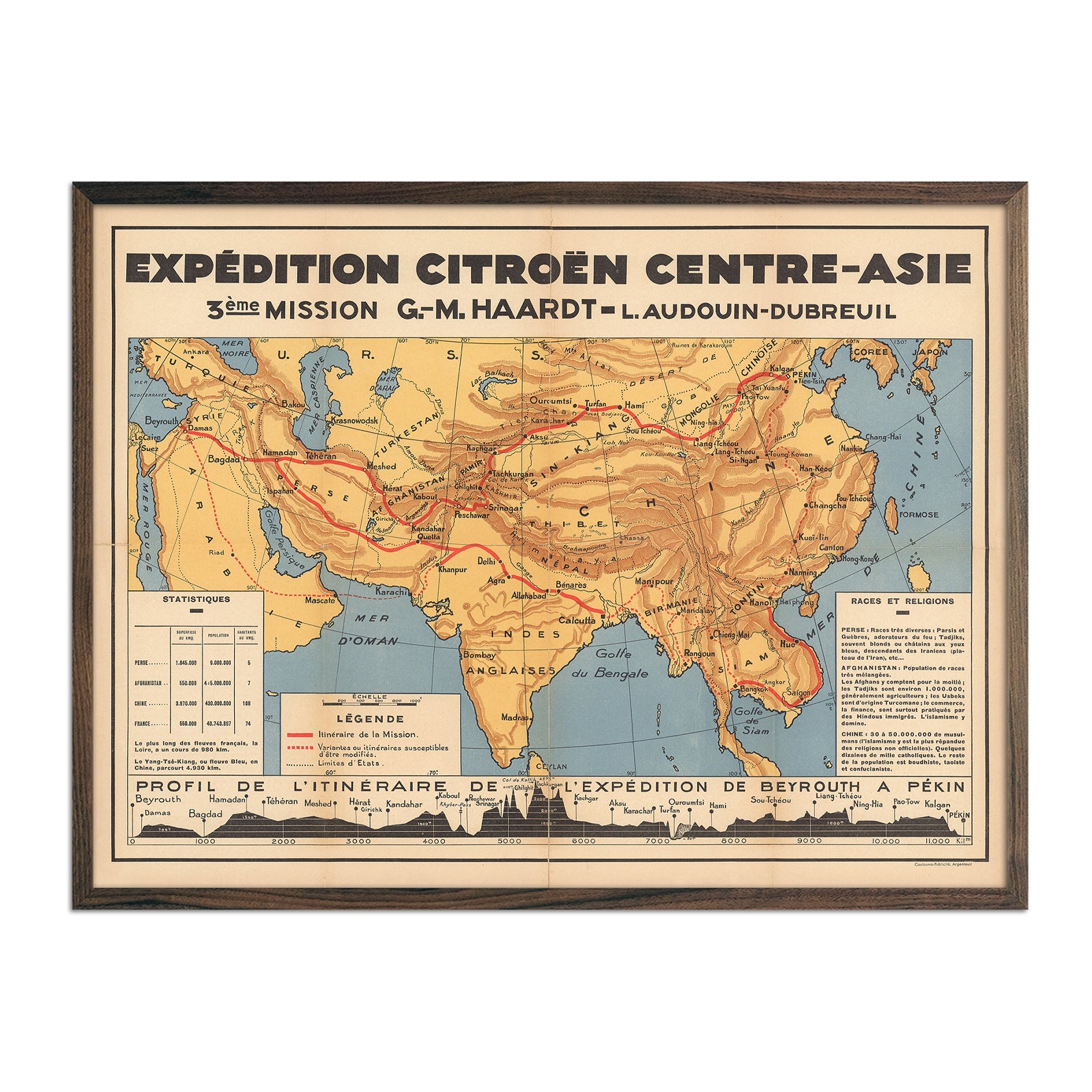
Expedition Citroen Centre-Asie
Regular price
From
$ 79.00 USD
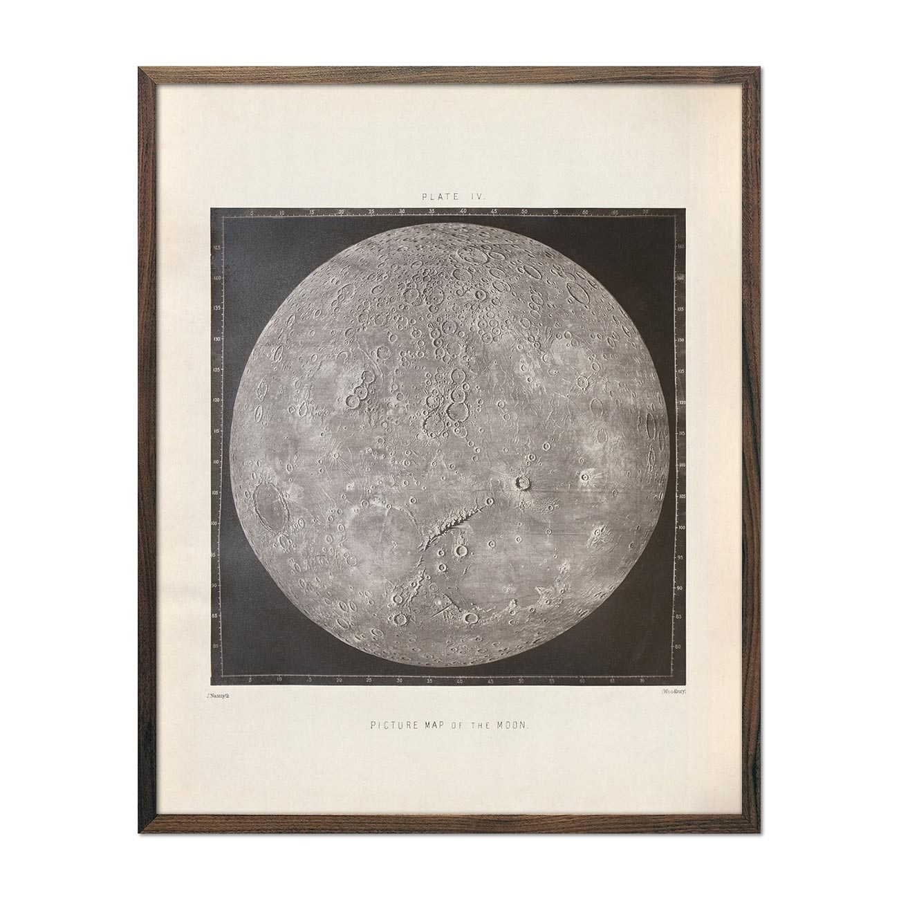
1874 Picture Map of the Moon Print
Regular price
From
$ 64.00 USD
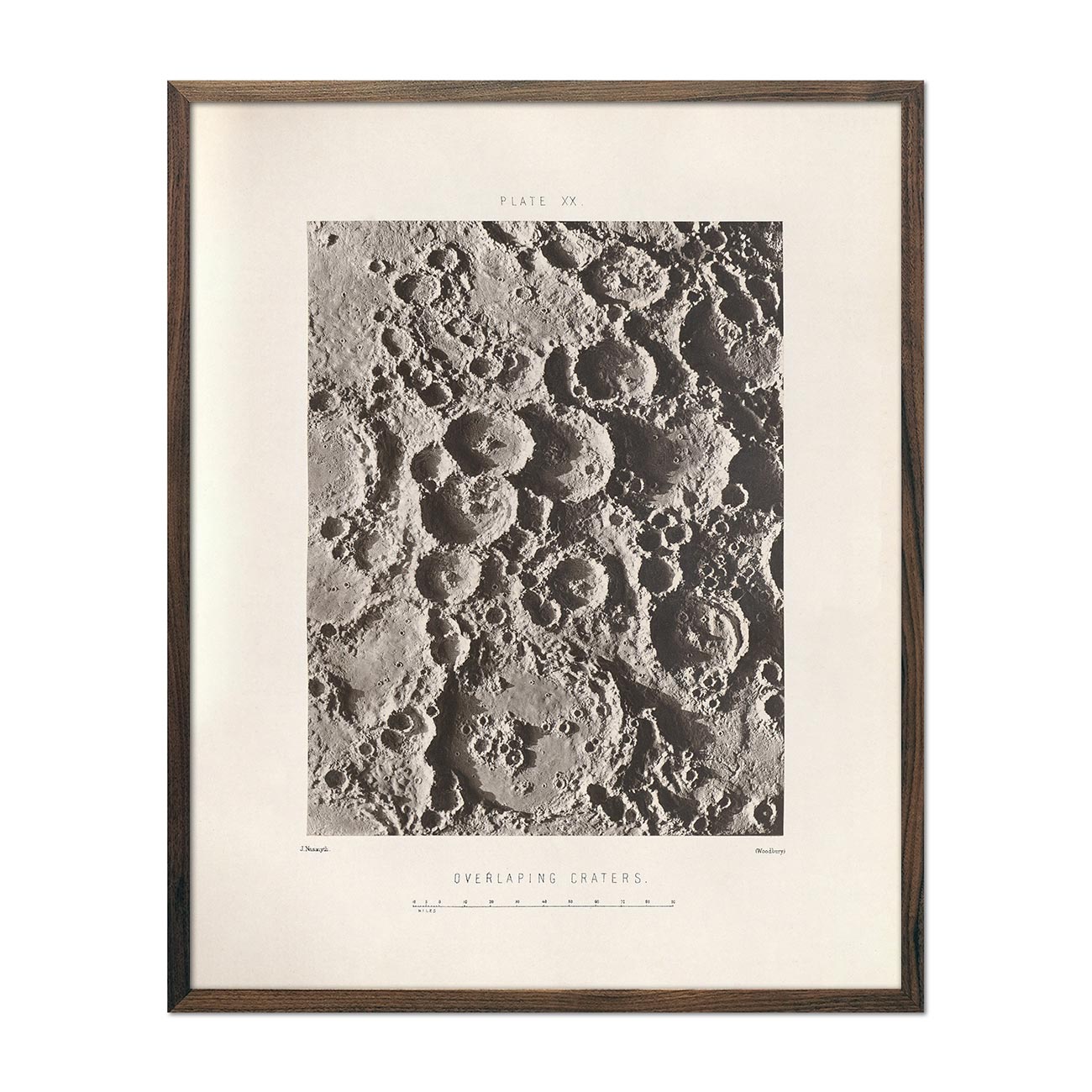
1874 Overlapping Moon Craters Print
Regular price
From
$ 64.00 USD
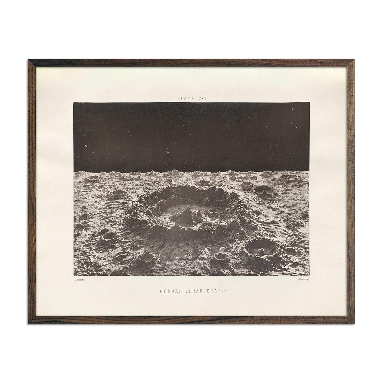
1874 Normal Lunar Crater Print
Regular price
From
$ 64.00 USD
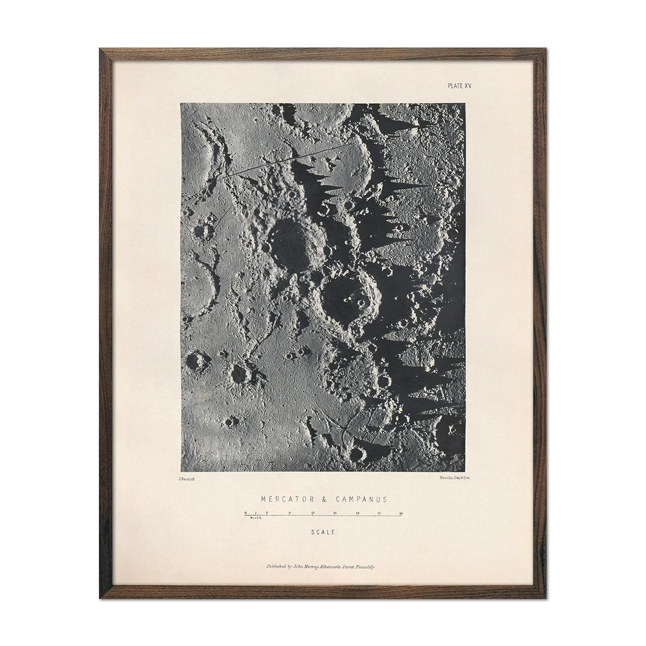
1874 Mercator and Campanus Moon Craters Print
Regular price
From
$ 64.00 USD
Tomlinson's map of Vicksburg
Regular price
From
$ 64.00 USD
Terrific Combat between the Monitor 2 Guns & Merrimac 10 Guns
Regular price
From
$ 79.00 USD
Our Nation's Heroes
Regular price
From
$ 64.00 USD
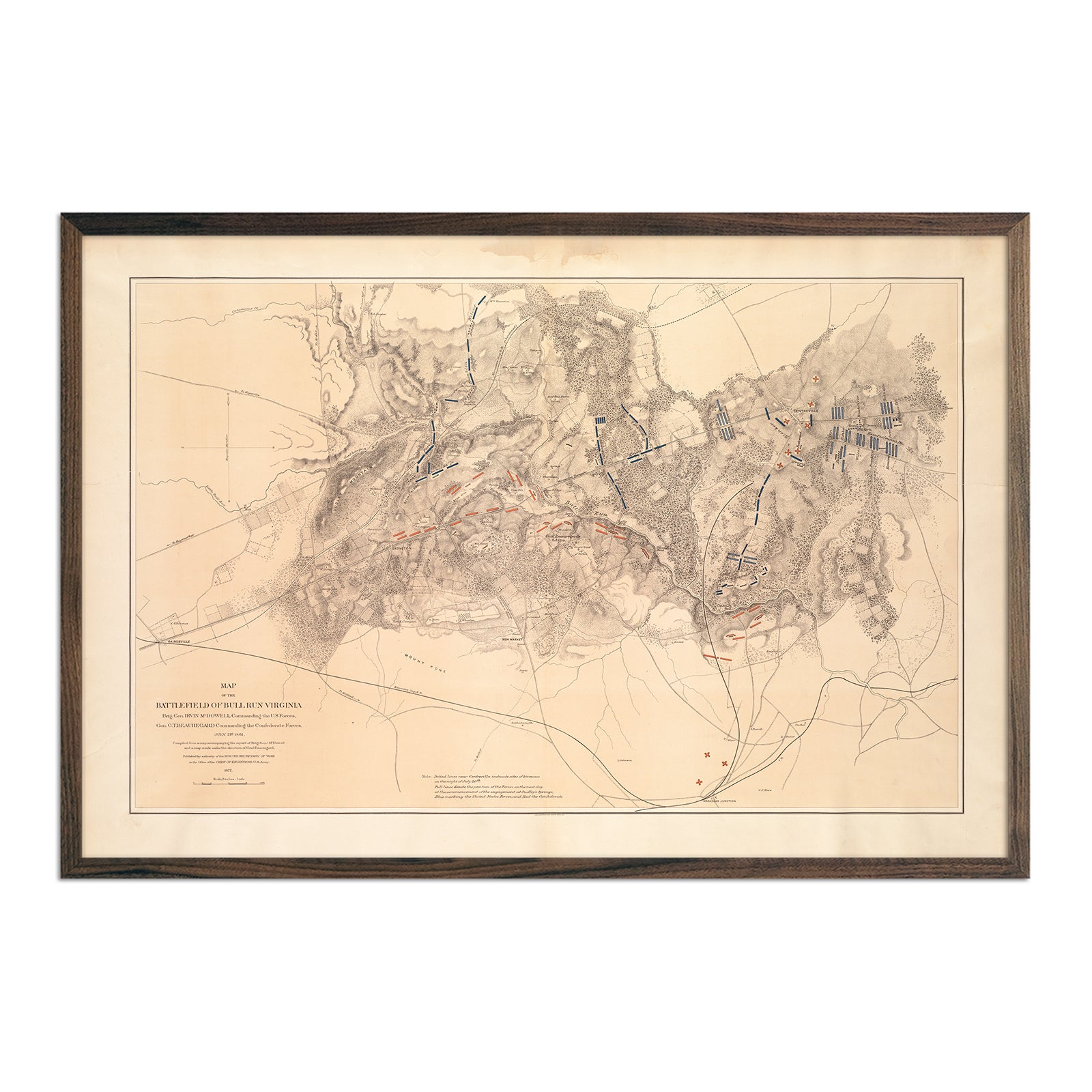
Map of the Battlefield of Bull Run
Regular price
From
$ 79.00 USD
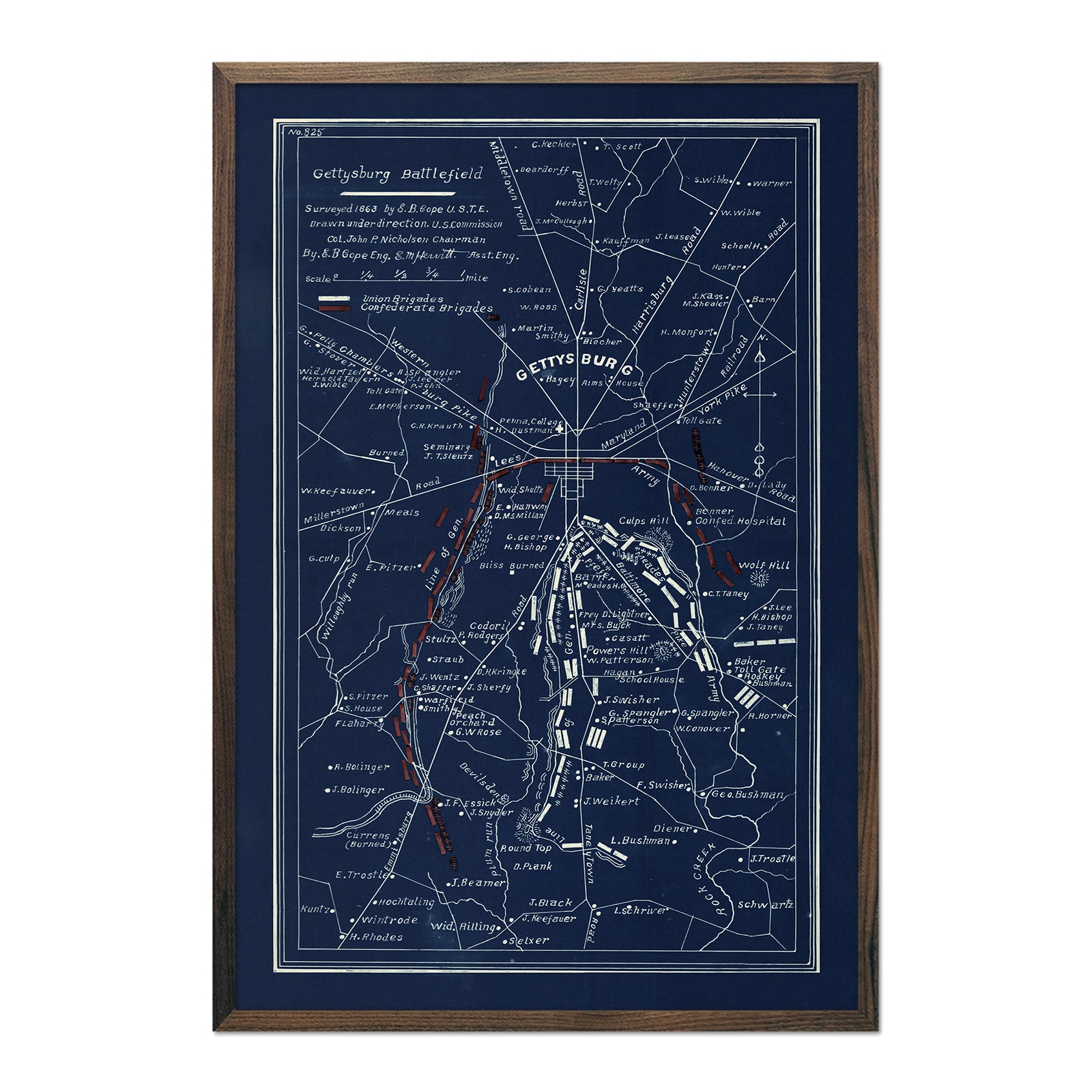
Gettysburg
Regular price
From
$ 79.00 USD
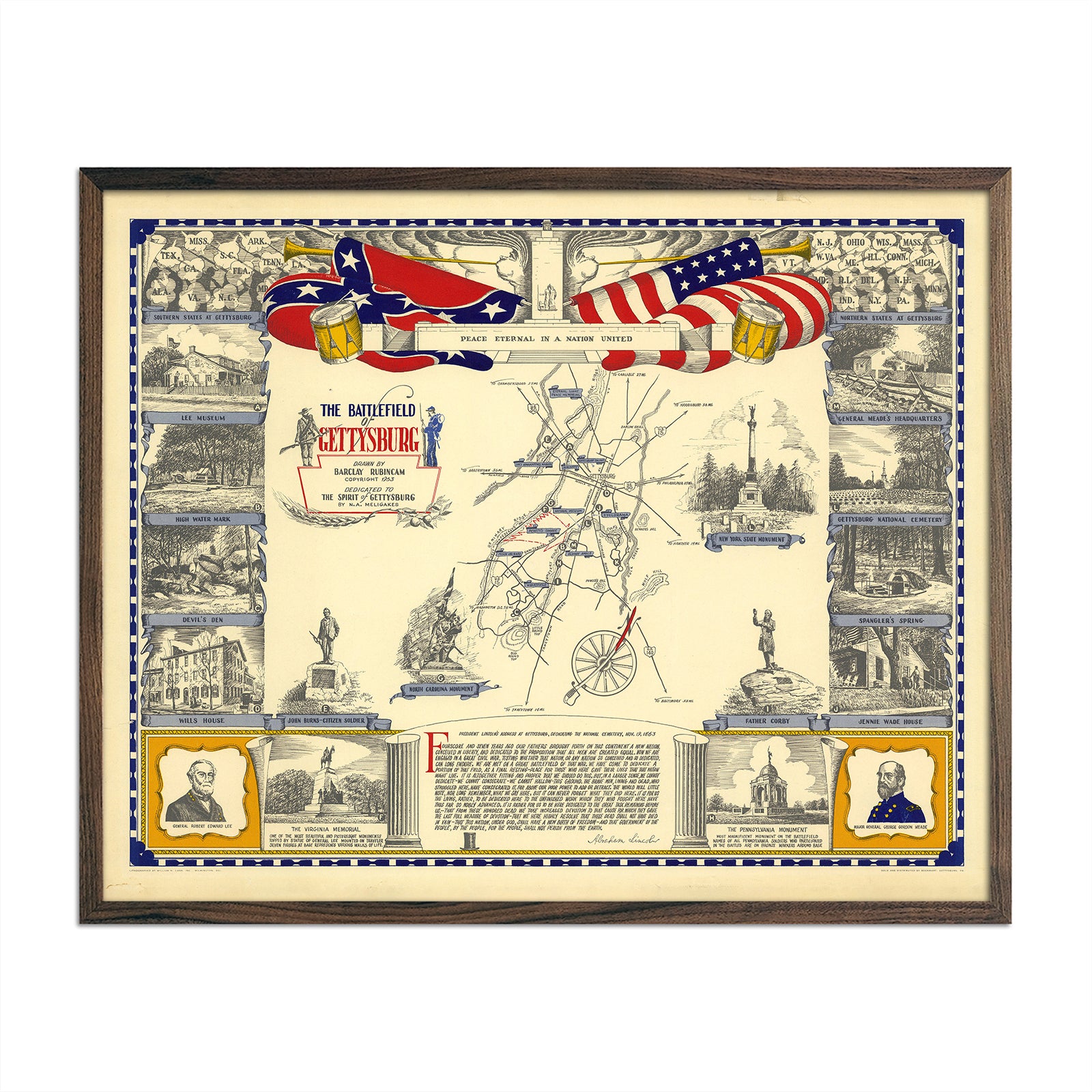
Battlefield of Gettysburg
Regular price
From
$ 64.00 USD
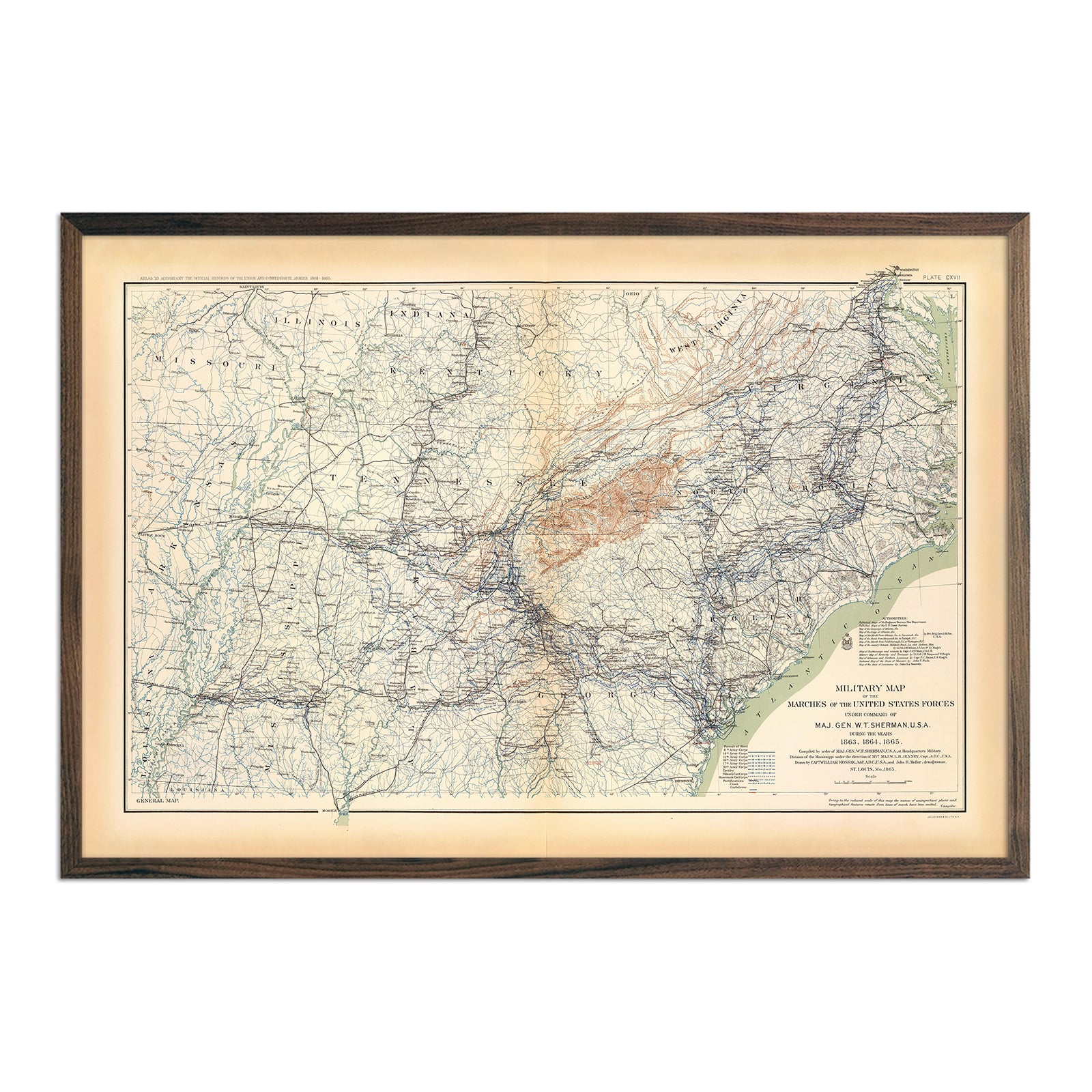
Military Map of Marches by W.T. Sherman
Regular price
From
$ 79.00 USD
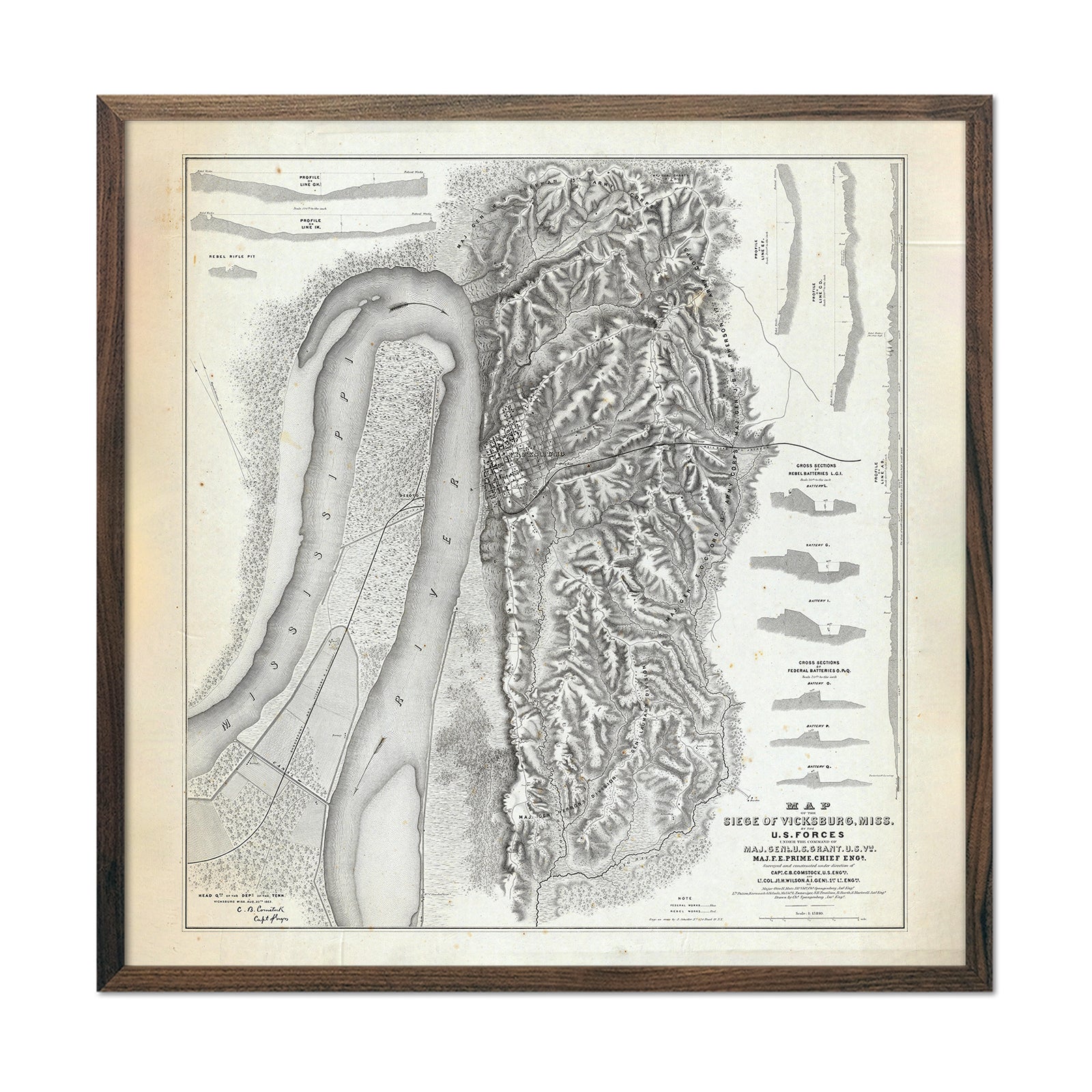
Map of the Siege of Vicksburg, MS
Regular price
From
$ 89.00 USD
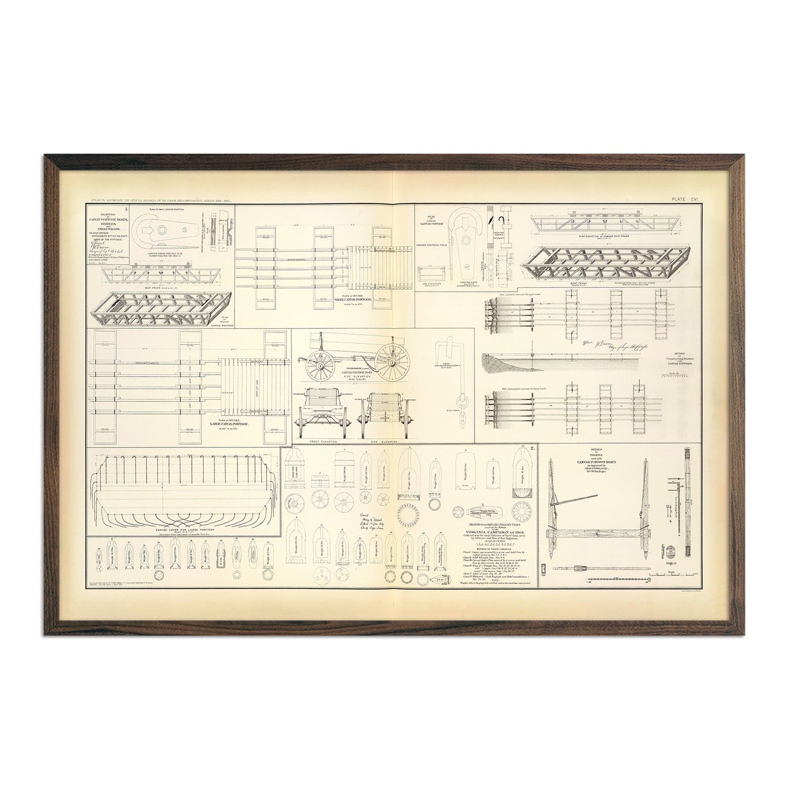
Drawings of Boats, Bridges, Wagons and Projectiles
Regular price
From
$ 79.00 USD
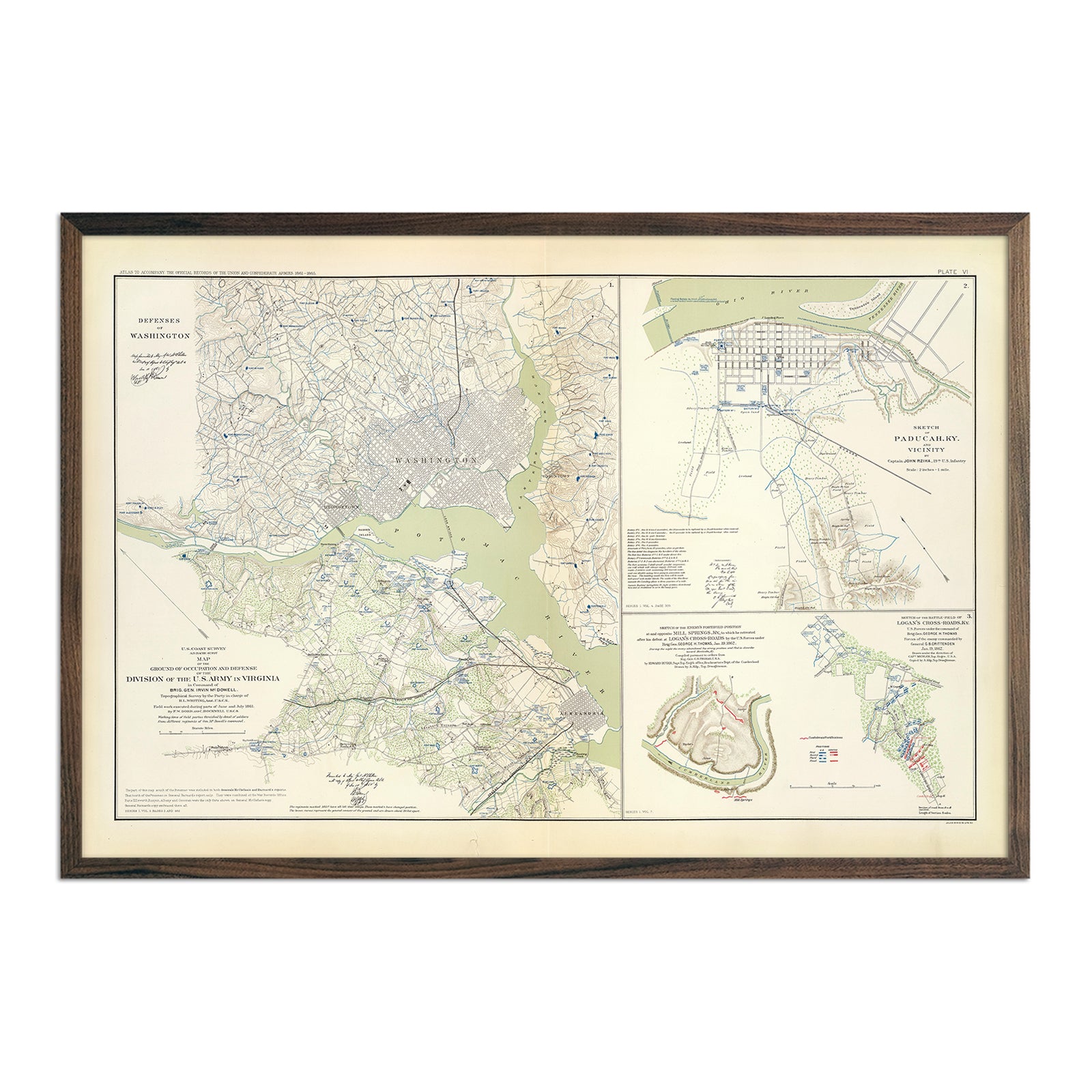
Washington Defenses
Regular price
From
$ 79.00 USD
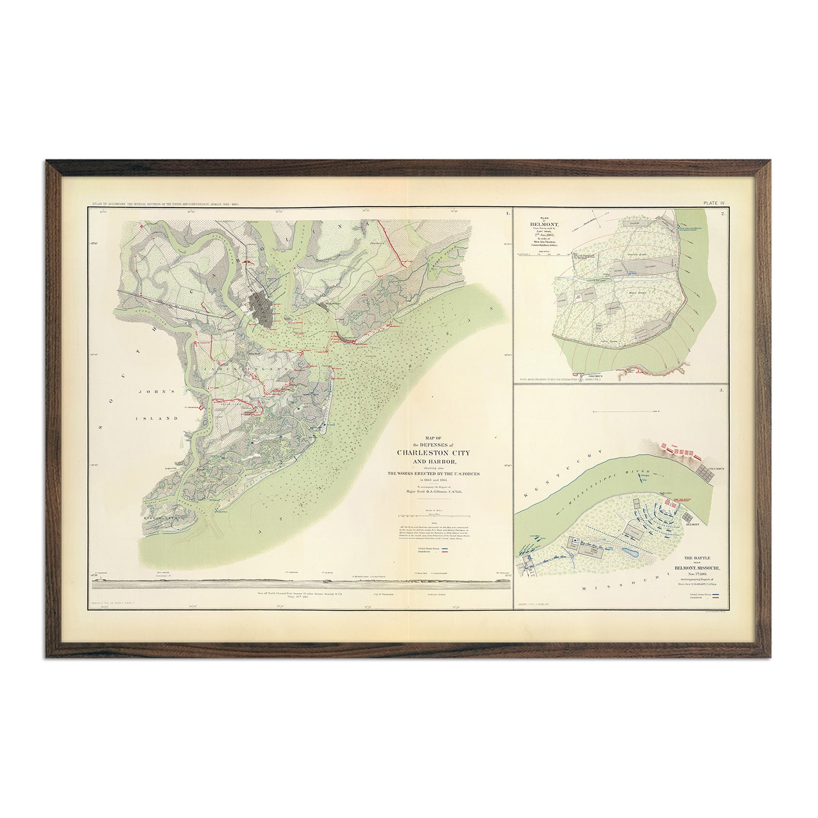
Charleston Defenses, Belmont Battlefield
Regular price
From
$ 79.00 USD
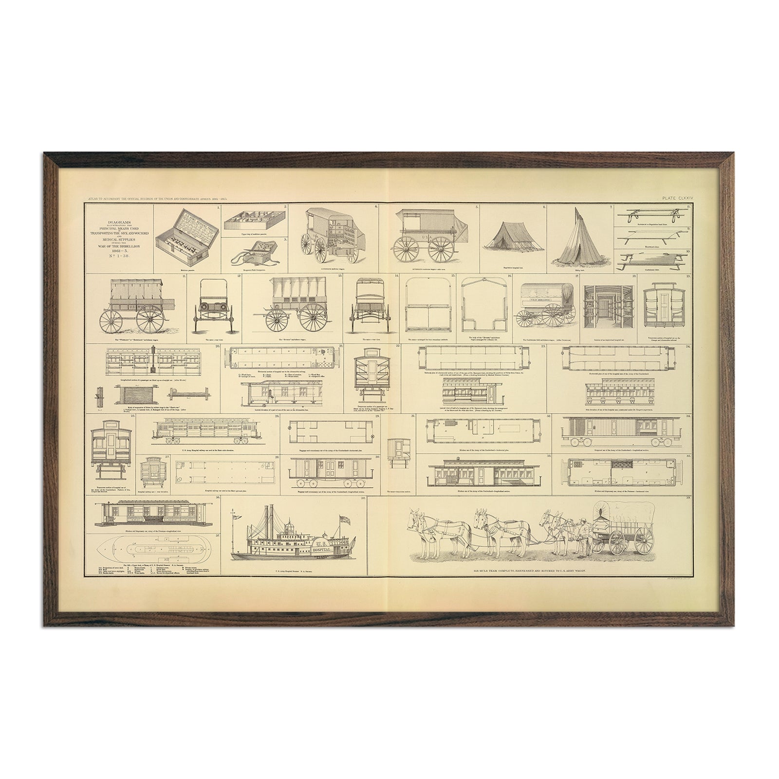
Care of the Sick and Wounded
Regular price
From
$ 79.00 USD
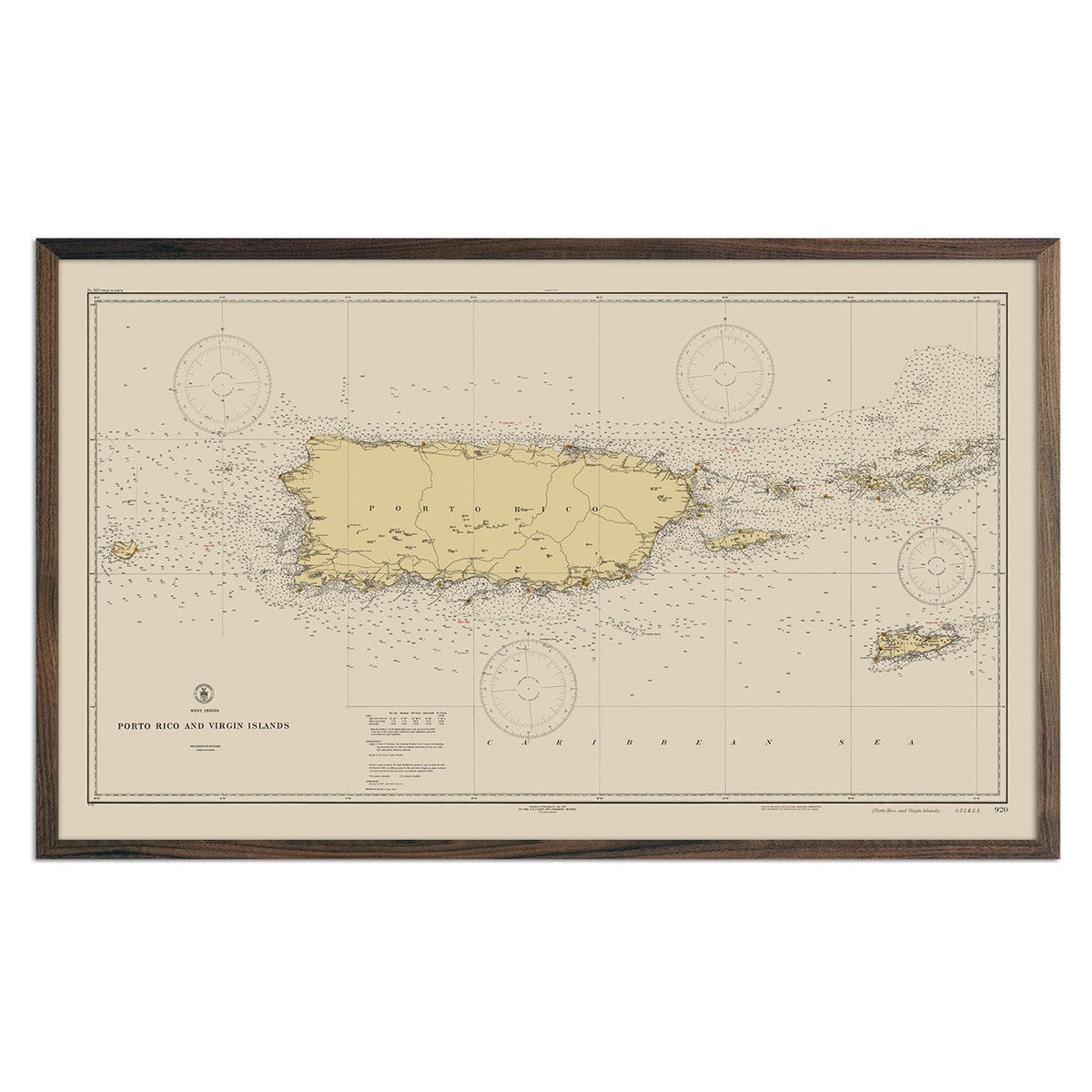
Puerto Rico and Virgin Islands Nautical Chart 1931
Regular price
From
$ 99.00 USD
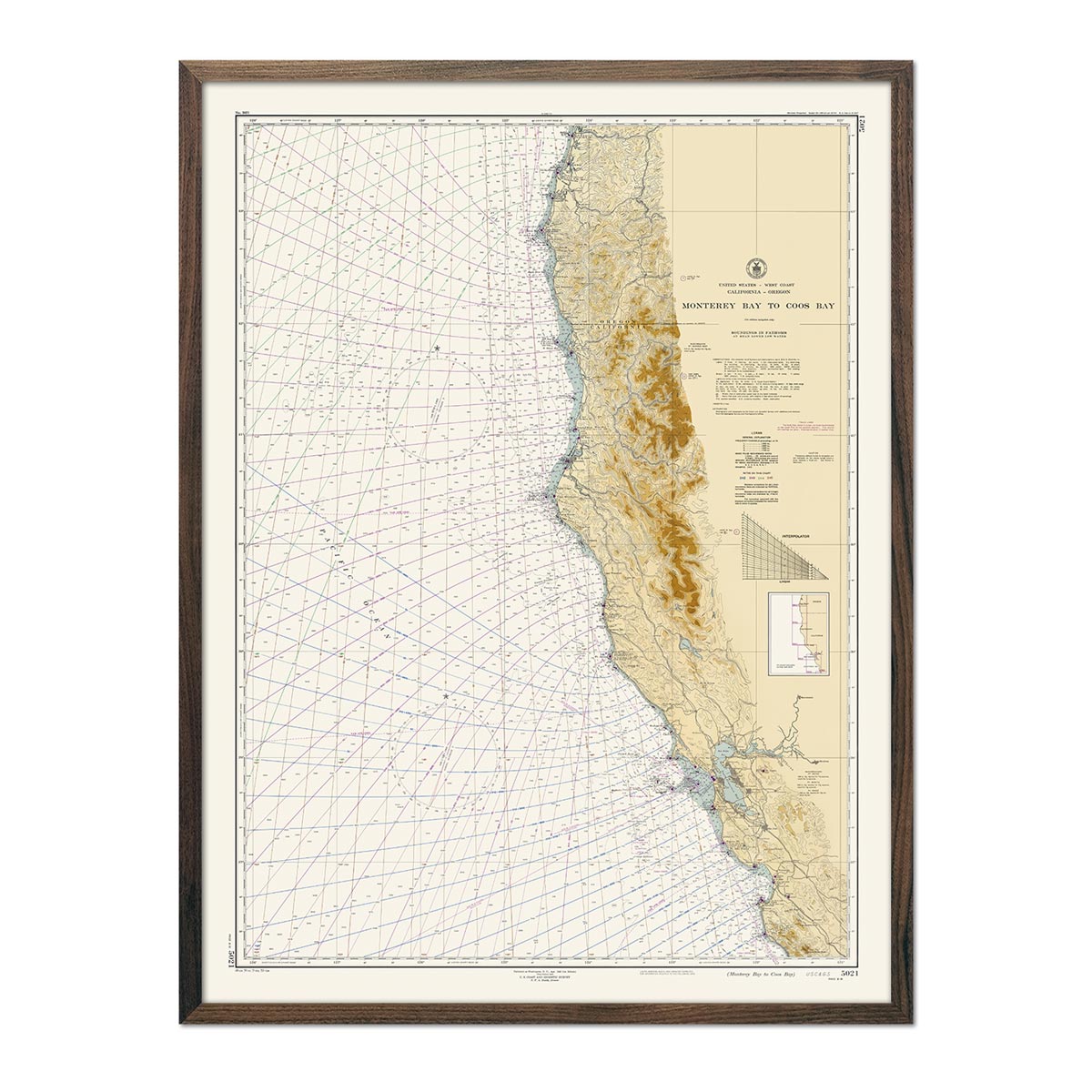
Monterey Bay to Coos Bay Nautical Chart 1948
Regular price
From
$ 79.00 USD
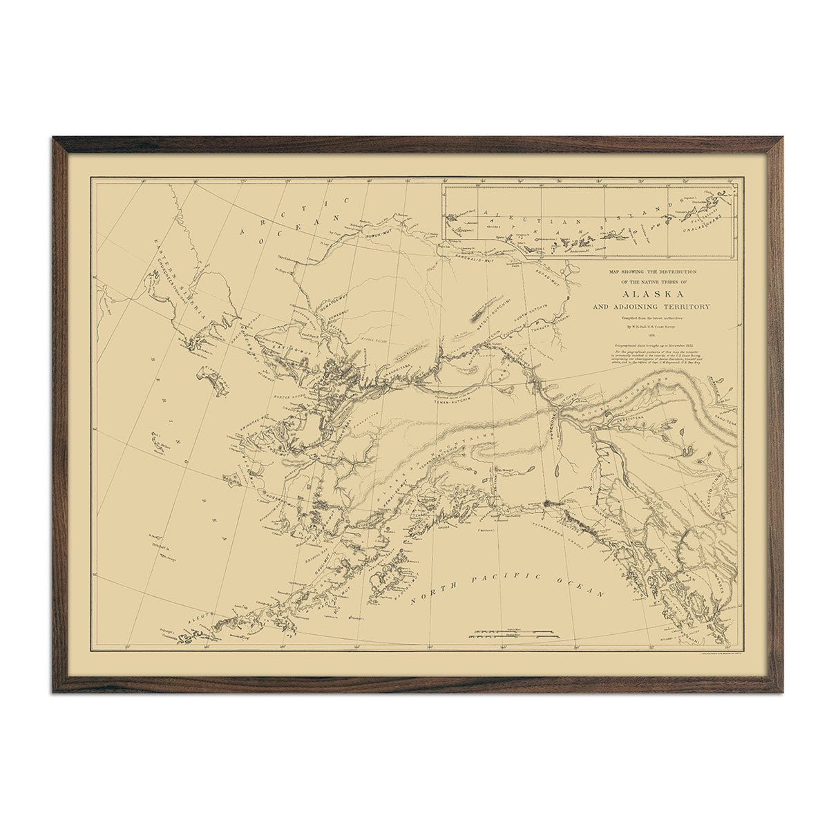
Map of the Distribution of the Native Tribes of Alaska and Adjoining Territory 1875
Regular price
From
$ 79.00 USD
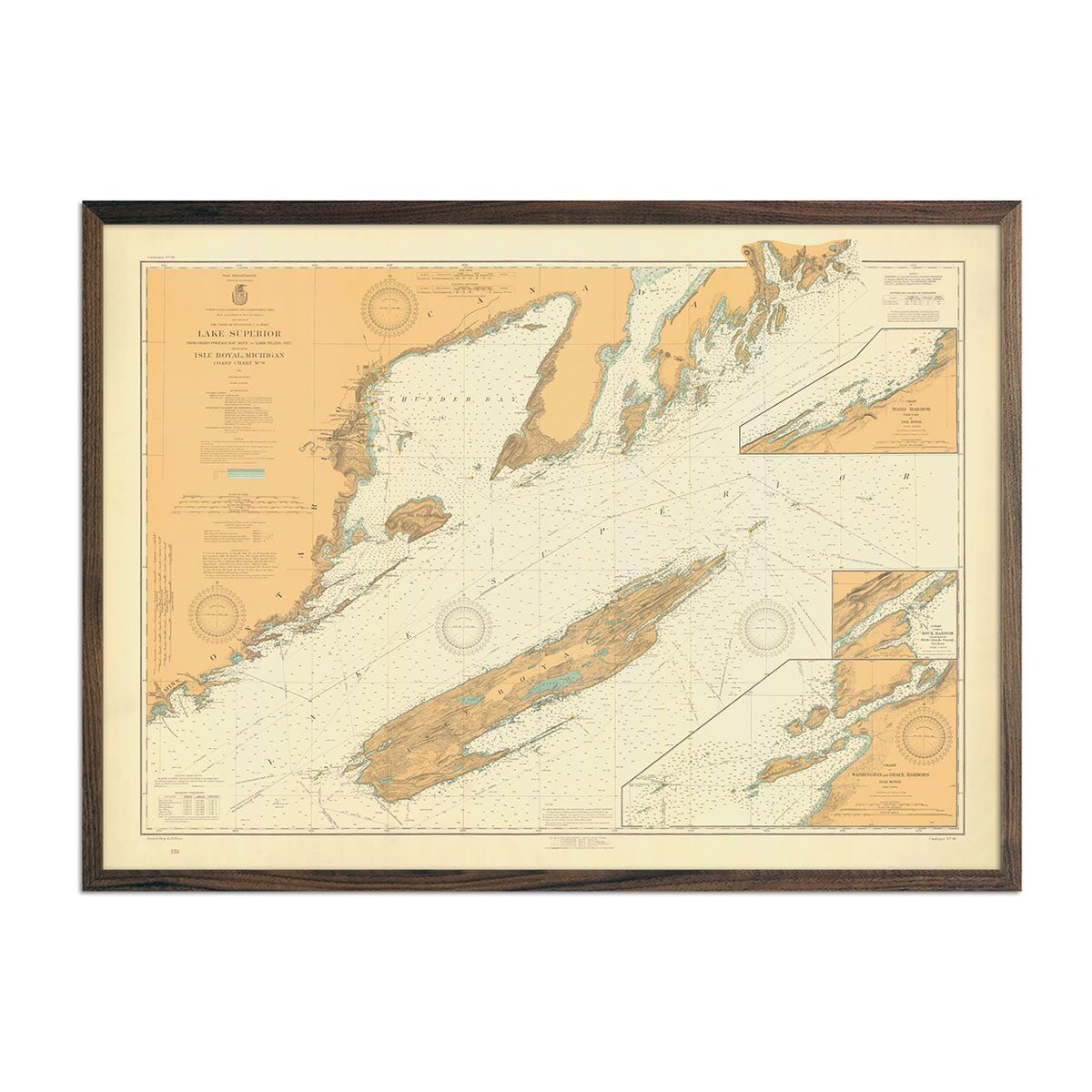
Lake Superior from Grand Portage Bay to Lamb Island Nautical Chart 1926
Regular price
From
$ 79.00 USD
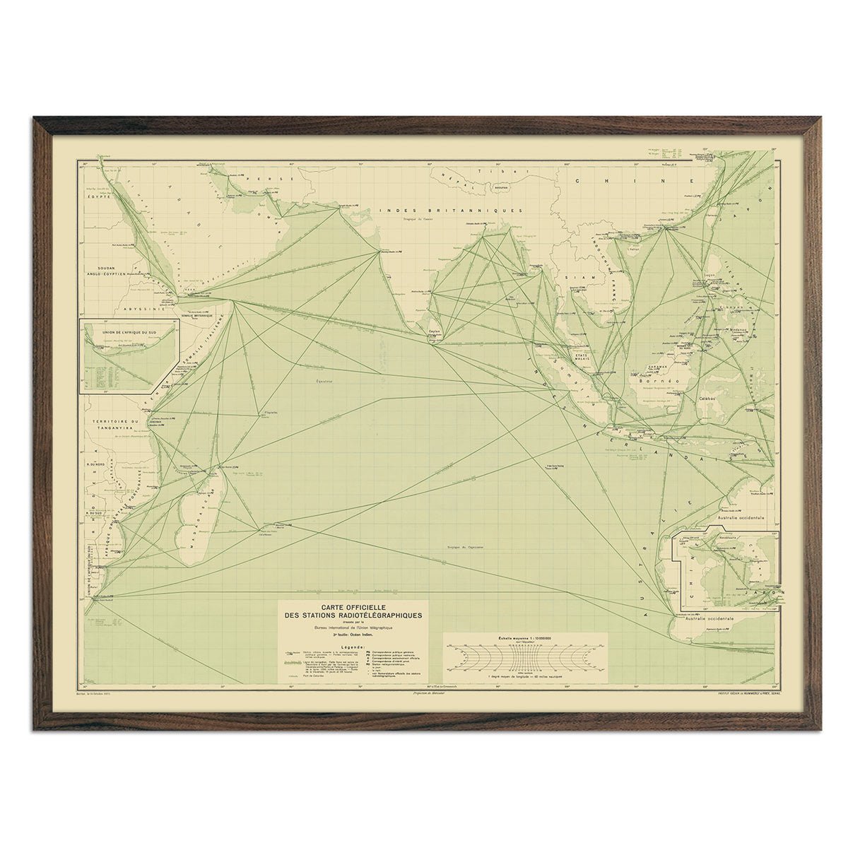
Carte Officielle des Stations Radiotelegraphiques of the Indian Ocean 1925
Regular price
From
$ 79.00 USD
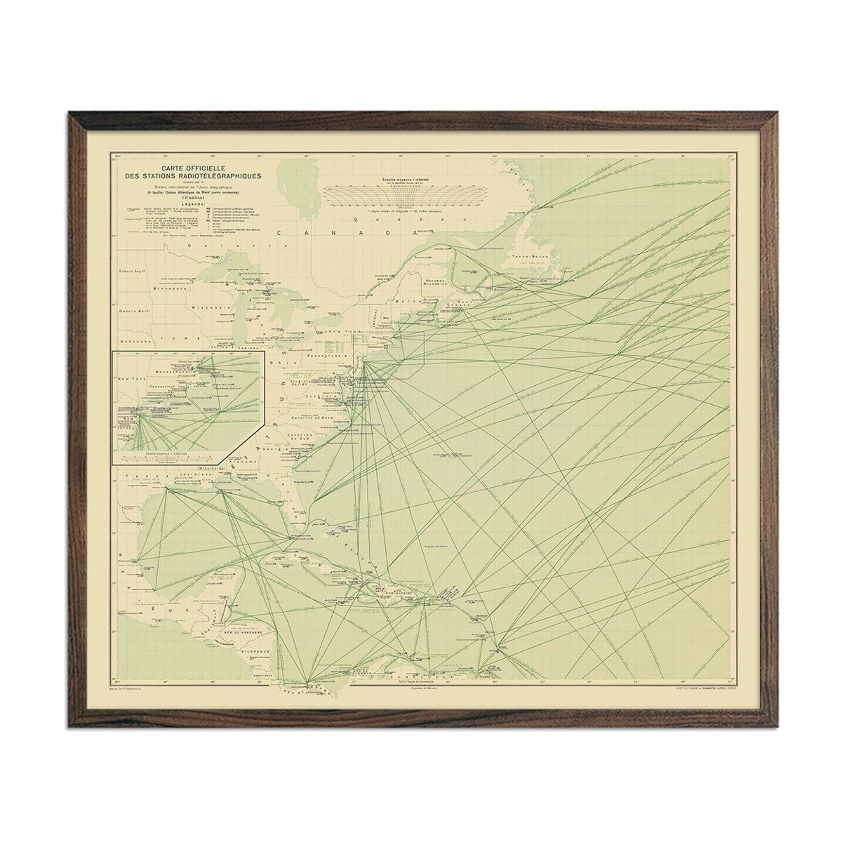
Carte Officielle des Stations Radiotelegraphiques of the Atlantic Ocean NW 1925
Regular price
From
$ 64.00 USD
Air Lines in South America with Avianca Routes 1943
Regular price
From
$ 79.00 USD
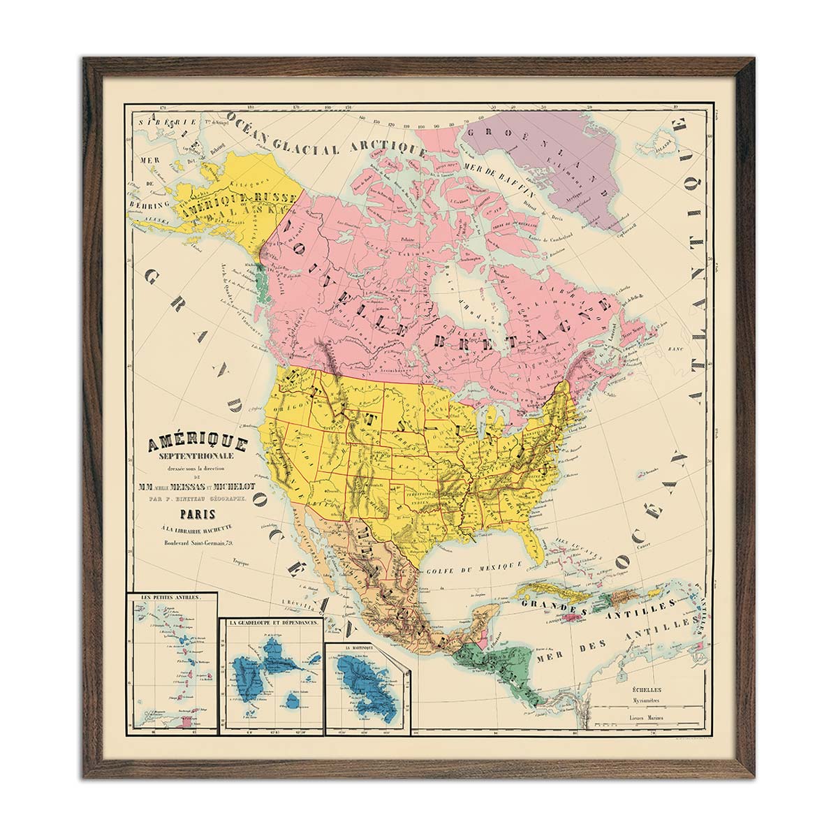
Amerique Septentrionale Composite 1844 Map
Regular price
From
$ 89.00 USD
5.0 / 5.0
112 reviews
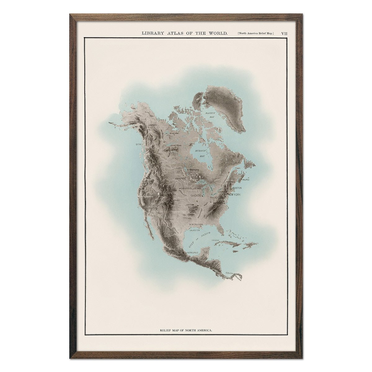
North America Atlas Map
Regular price
From
$ 69.00 USD
5.0 / 5.0
112 reviews
Niihau Island 1904 Map
Regular price
From
$ 64.00 USD
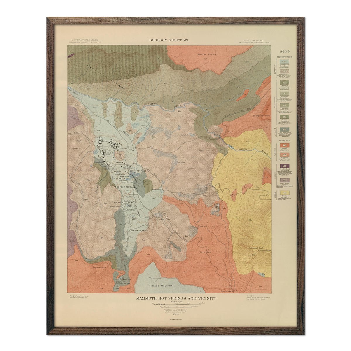
Yellowstone Geologic Map of Mammoth Hot Springs 1904 Map
Regular price
From
$ 64.00 USD
« Previous
·
1
…
4
5
6
7
8
·
Next »
Your cart
Close
Spend
$ 49.00 USD
more for
free shipping
!
Your order is eligible for free shipping!
You may also like
Previous
Next
The Lake Tahoe Tumbler
Regular price
$ 59.00 USD
Add to cart
Close
Your cart is empty
Start shopping