Skip to content
Facebook
Instagram
Pinterest
FREE SHIPPING ON ORDERS OVER $49
Country/Region
United States (USD $)
United States (USD $)
Best Sellers
3D "Factory Seconds" Sale
Shop by Region
Shop by Type
Historical Prints
Home Goods
About Us
Search for your map
Account
Cart
Popular Collections
Best Sellers
Shop by Region
Maps of USA
State Maps
International Maps
National Park Maps
Shop by Type
3D RAISED Relief Maps
Hydrological Maps
Custom Wood Carved Map
Regular price
From
$ 300.00 USD
5.0 / 5.0
3 reviews
Vintage Shaded Relief Maps
Elevation Maps
Natural Atlas
TOPO Series
National Parks Series
Shaded Relief Series
Range Series
Digital Gift Card
Regular price
From
$ 20.00 USD
5.0 / 5.0
5 reviews
Walnut Frames "Factory Seconds"
Historical Prints
1884 Fish Drawings
1875 Zoology Lithographs
1868 Yosemite Photographs
1873 Yellowstone Photographs
1874 Moon Photography
Astronomy
Civil War Maps
Historical Nautical Charts
Vintage Maps - Misc
USGS Quadrant Maps
1876 State Map Collection
1876 Geologic & Topographic
1883 US State Maps
1904 Yellowstone Maps
1906 Hawaiian Islands Maps
Apparel/Home Goods
Glasses
Books
Tees
Hats
Blankets
Walnut Frame for 3D Raised Relief Map
Regular price
From
$ 220.00 USD
5.0 / 5.0
1 review
About Us
Our Story
Reviews
FAQs
Shipping and Returns
Contact Us
Best Sellers
3D "Factory Seconds" Sale
Shop by Region
USA Maps
State Maps
International Maps
National Park Maps
Shop by Type
Collections
3D RAISED Relief
2D Vintage Shaded Relief
Hydrology Series
Custom Maps
Golf Courses - 3D Wood
2D Elevation Relief
Natural Atlas Maps
TOPO Series
National Park Series
2D Shaded Relief
Mountain Range
Gift Cards
Walnut Frames
3D RAISED Relief Maps
Hydrological Maps
3D Raised Relief
Historical Prints
Illustrations and Photographs
1884 Fish Drawings
1875 Zoology Drawings
1868 Yosemite Photos
1873 Yellowstone Photos
1874 Moon Photos
Historical Maps
Astronomy
Civil War Maps
Nautical Maps
Assorted Vintage
USGS Quadrant Maps
1876 State Maps
1876 Geologic/Topographic
1883 State Maps
1904 Yellowstone Maps
1906 Hawaii Maps
1884 Fish Drawings
Civil War Maps
Astronomy
Astronomy
Home Goods
Mountain Glasses
Field Guides
Books
Tees
Hats
Topo Blankets
Walnut Frames
Mountain Glasses
Tees
Books
About Us
Our Story
Reviews
FAQs
Shipping and Returns
Contact Us
All Muir Way Maps
Filter
Sort by
Best selling
Most relevant
Best selling
Alphabetically, A-Z
Alphabetically, Z-A
Date, old to new
Date, new to old
Filters
Sort by
Most relevant
Best selling
Alphabetically, A-Z
Alphabetically, Z-A
Date, old to new
Date, new to old
Apply
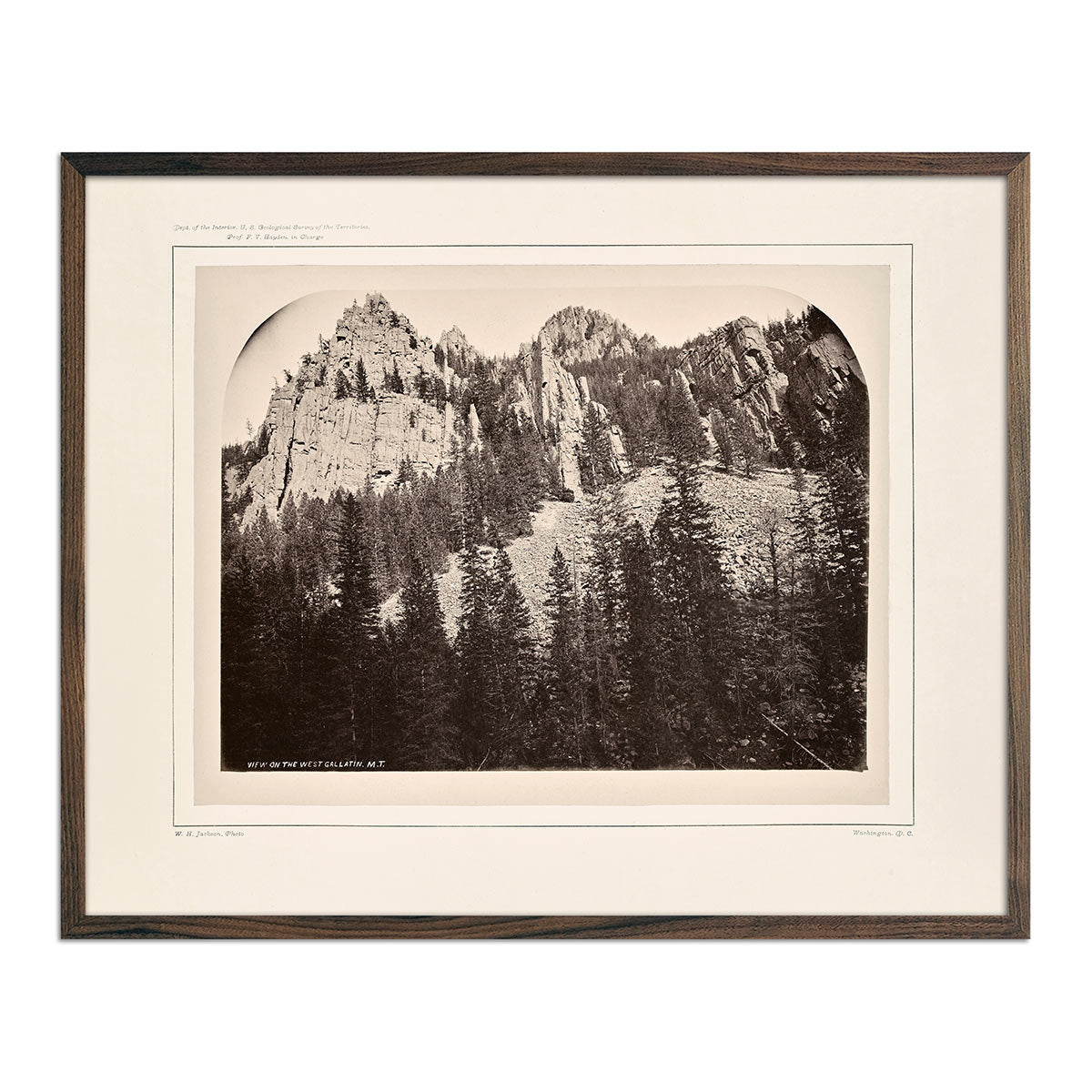
Castellated Walls of Gallatin Canyon, Yellowstone 1873
Regular price
From
$ 35.00 USD
4.7 / 5.0
12 reviews
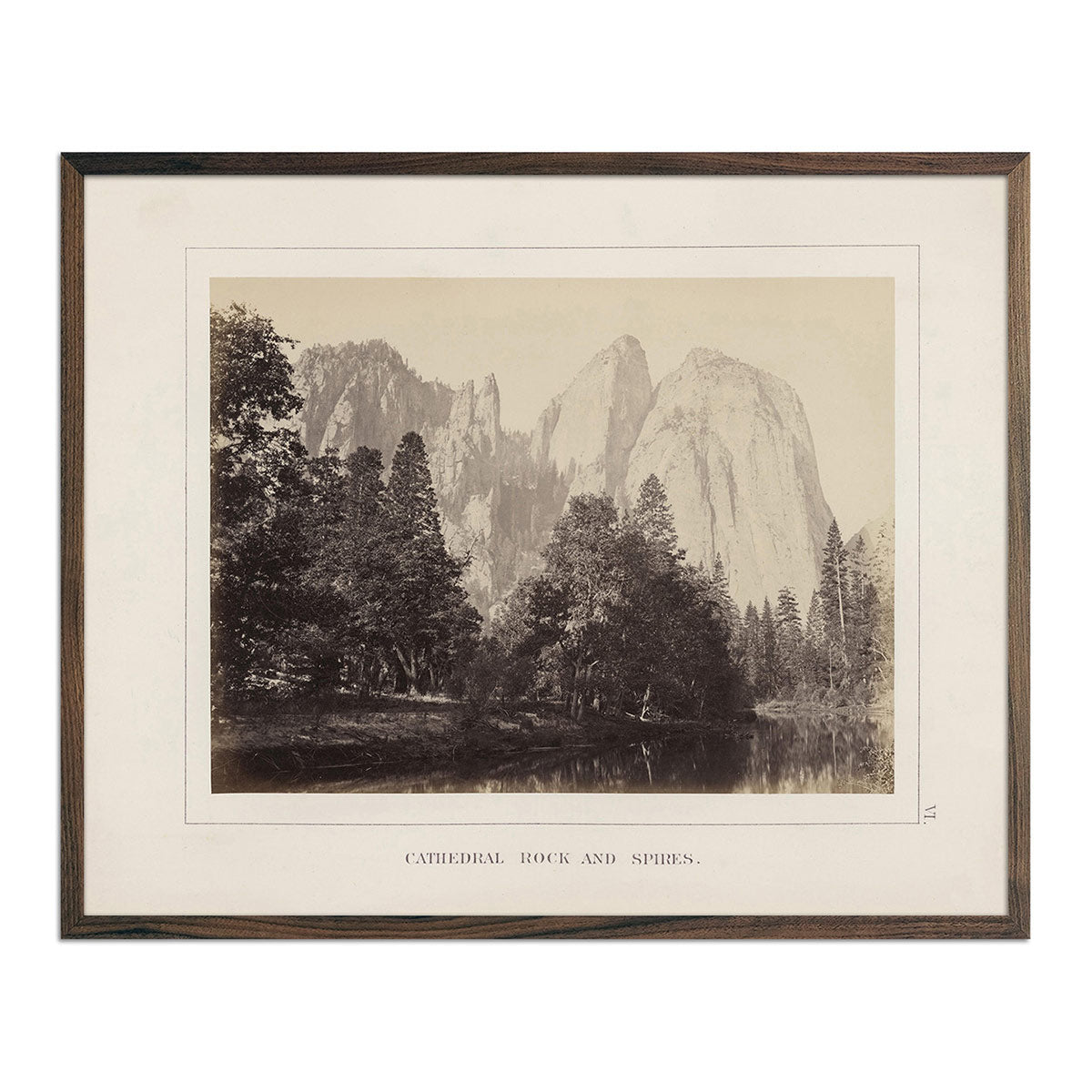
Cathedral Rock and Spires, Yosemite 1868
Regular price
From
$ 35.00 USD
4.7 / 5.0
19 reviews
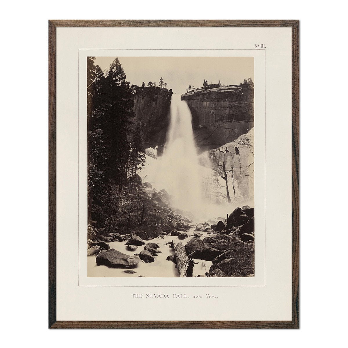
Nevada Fall, Yosemite 1868
Regular price
From
$ 35.00 USD
4.7 / 5.0
19 reviews
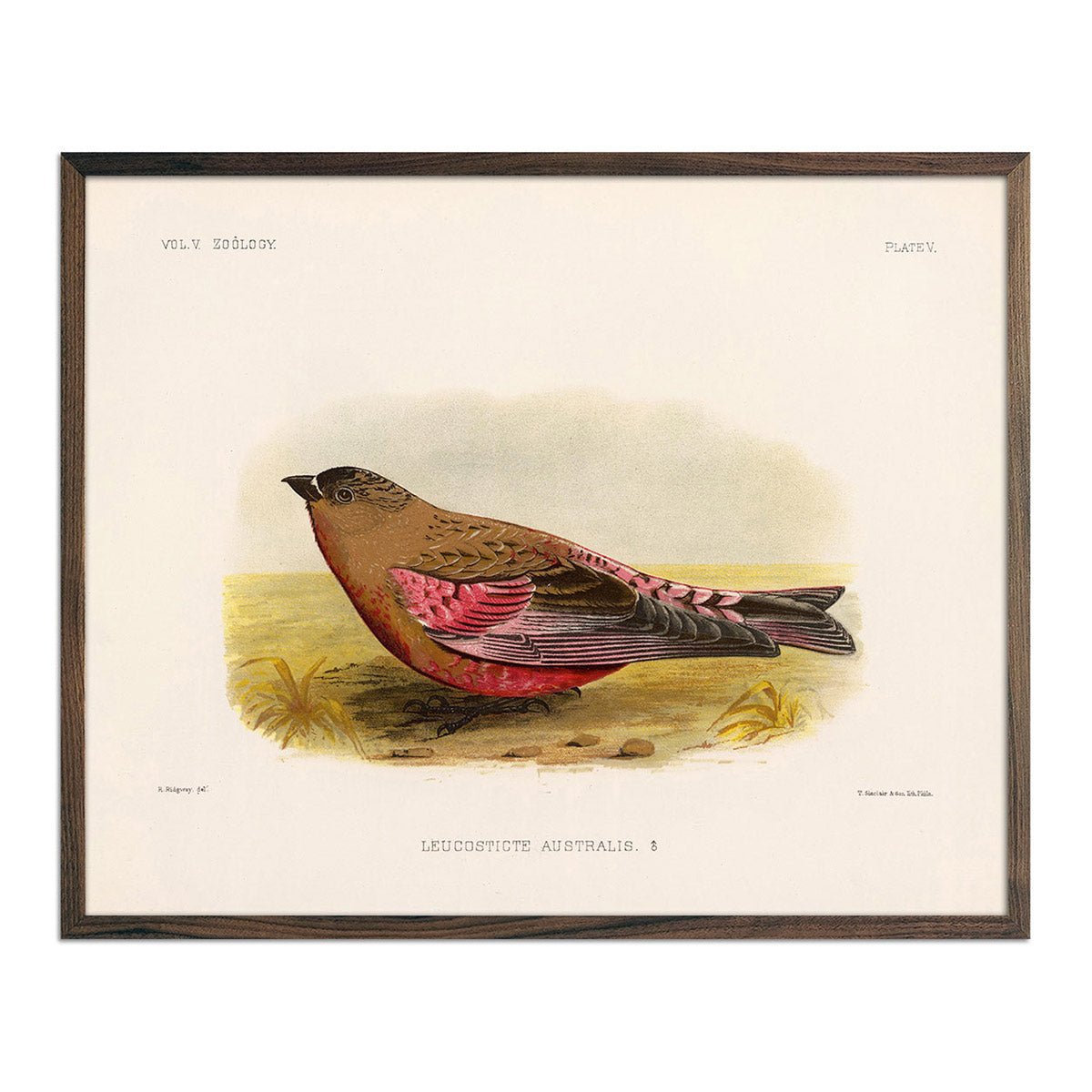
Rosy-Finch-Male Art Print
Regular price
From
$ 35.00 USD
5.0 / 5.0
25 reviews
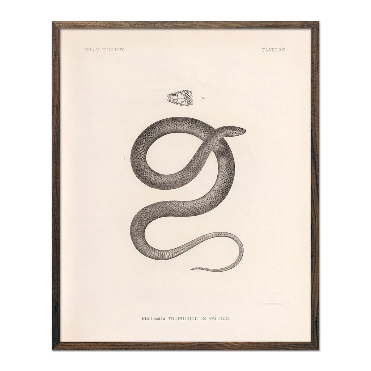
Garter Snake Art Print
Regular price
From
$ 35.00 USD
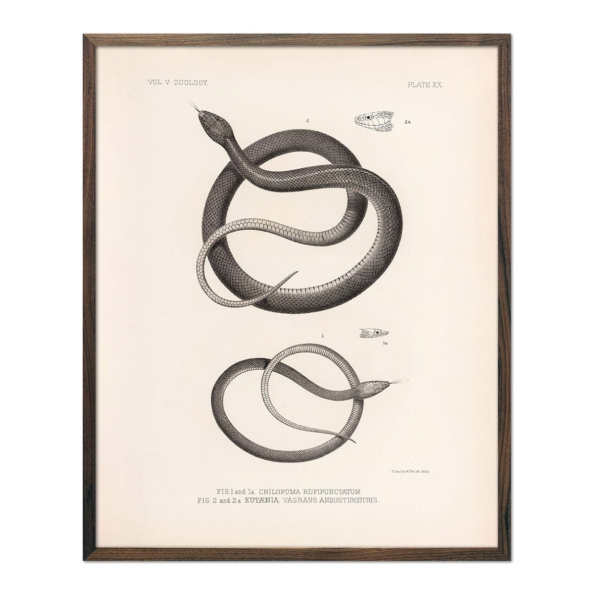
Garter Snakes Art Print
Regular price
From
$ 35.00 USD
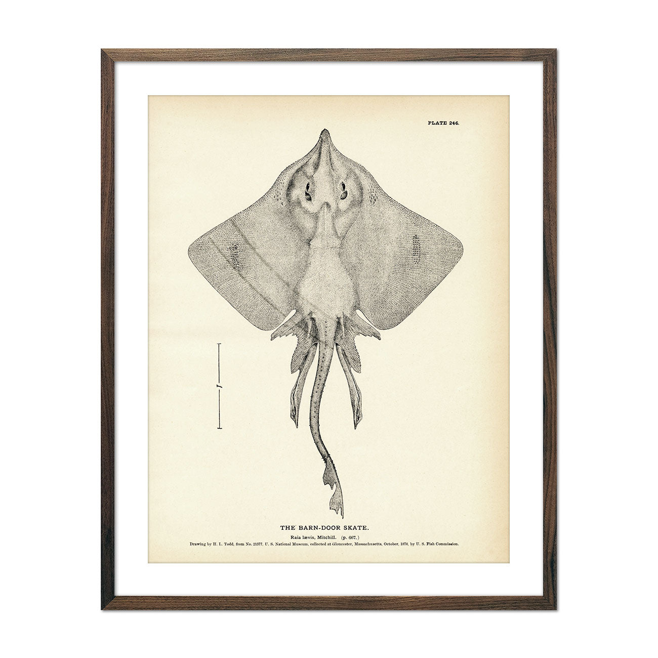
Barn-Door Skate Art Print
Regular price
From
$ 35.00 USD
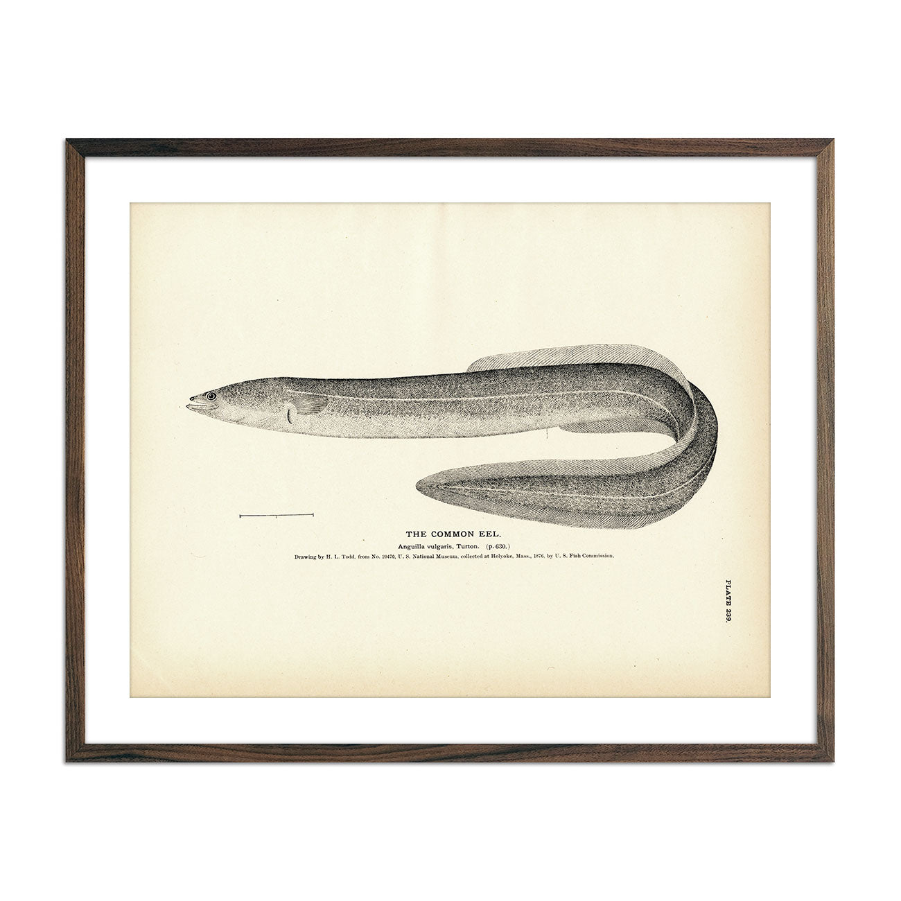
Common Eel Art Print
Regular price
From
$ 35.00 USD
5.0 / 5.0
1 review
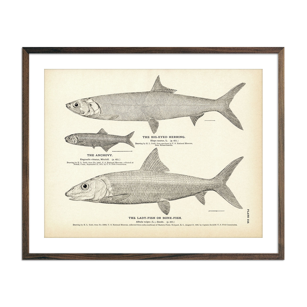
Big-Eyed Herring, Anchovy, and Lady-Fish (Bone-Fish) Art Print
Regular price
From
$ 35.00 USD
5.0 / 5.0
1 review
Cisco of Lake Michigan (Moon-Eye) Art Print
Regular price
From
$ 35.00 USD
5.0 / 5.0
1 review
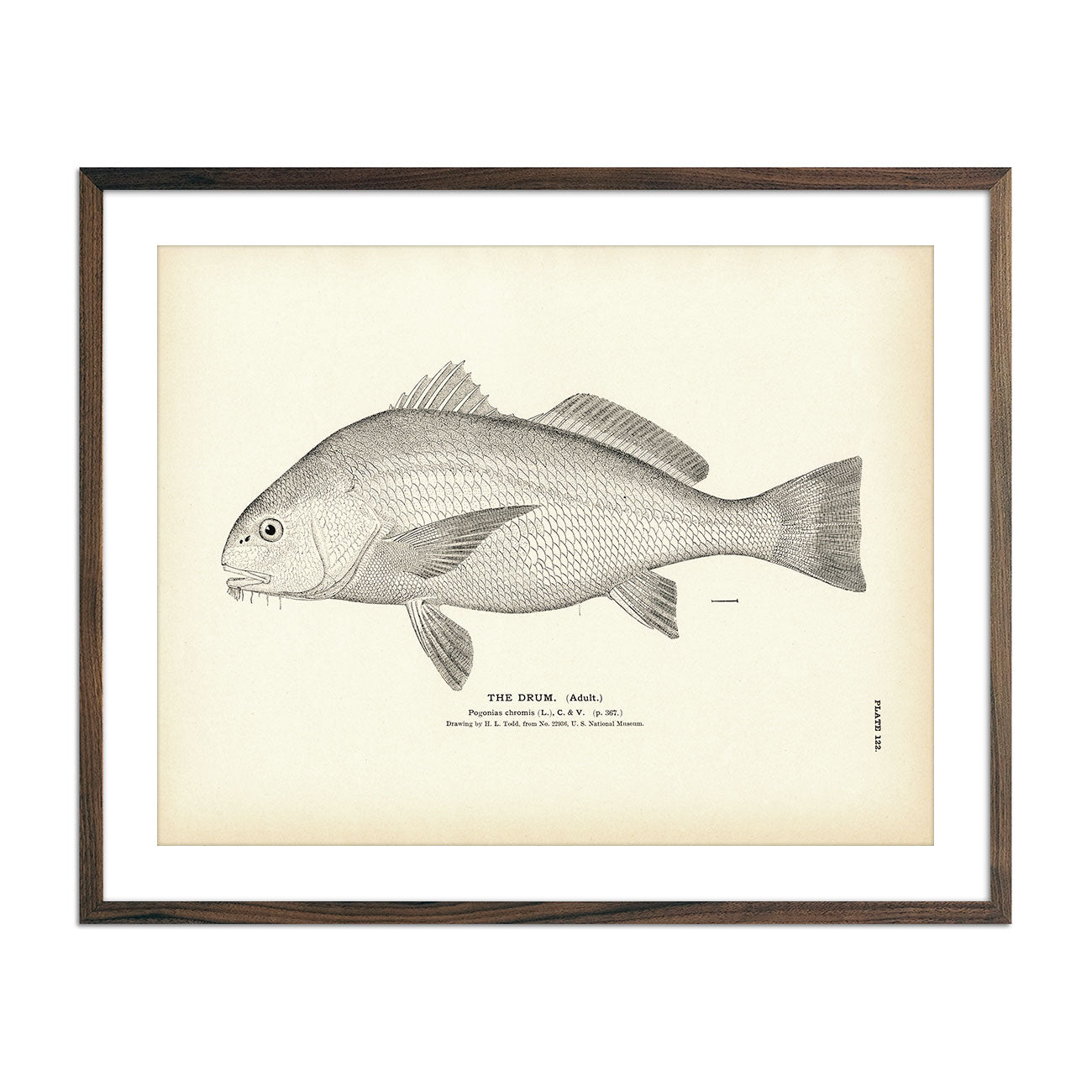
Drum (Adult) Art Print
Regular price
From
$ 35.00 USD
5.0 / 5.0
1 review
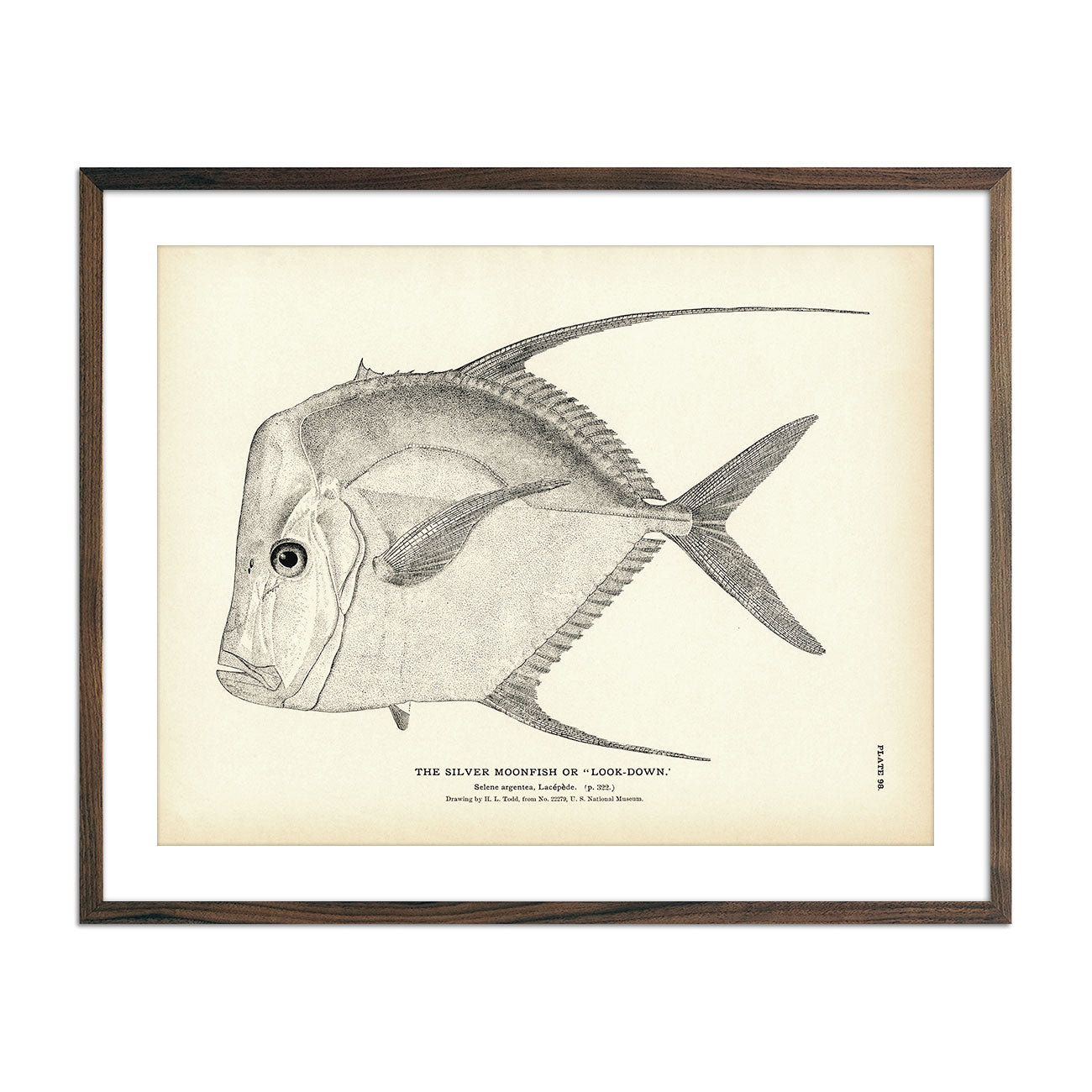
Silver Moonfish (Look-Down) Art Print
Regular price
From
$ 35.00 USD
5.0 / 5.0
4 reviews
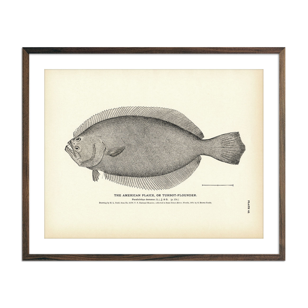
American Plaice (Turbot-Flounder) Art Print
Regular price
From
$ 35.00 USD
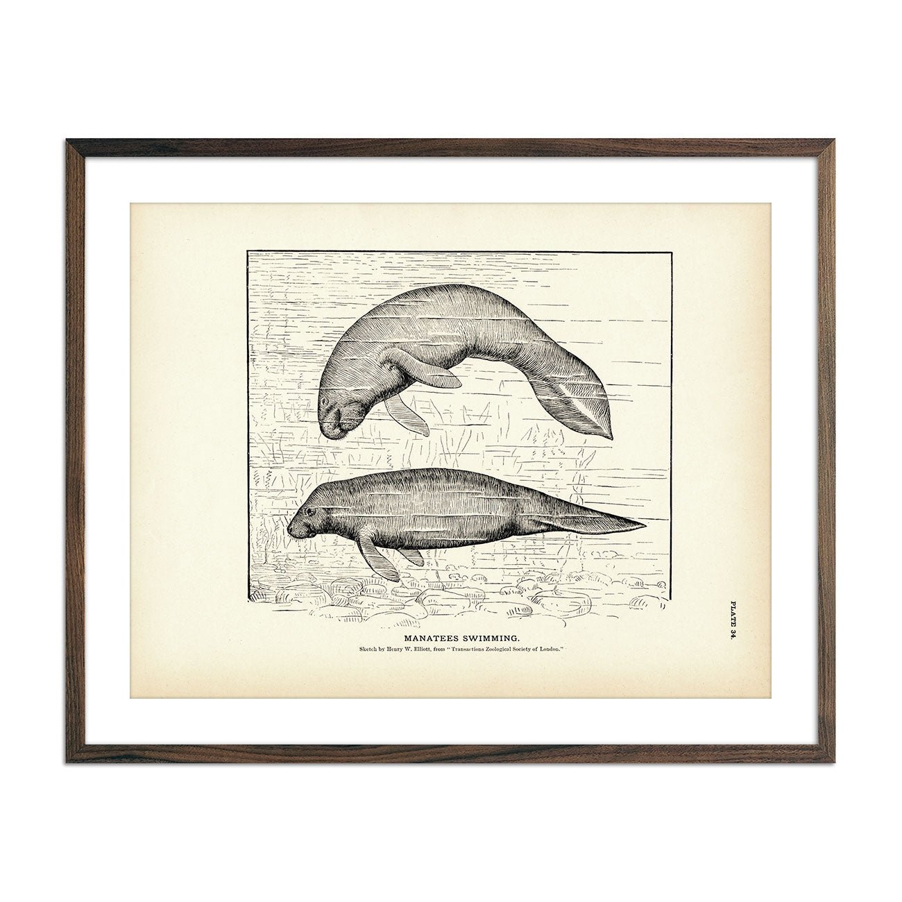
Manatees Swimming Art Print
Regular price
From
$ 35.00 USD
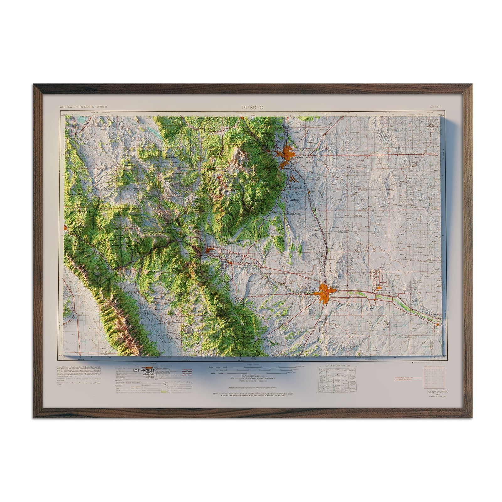
Colorado Springs, CO 1954 Shaded Relief Map
Regular price
From
$ 79.00 USD
5.0 / 5.0
1 review
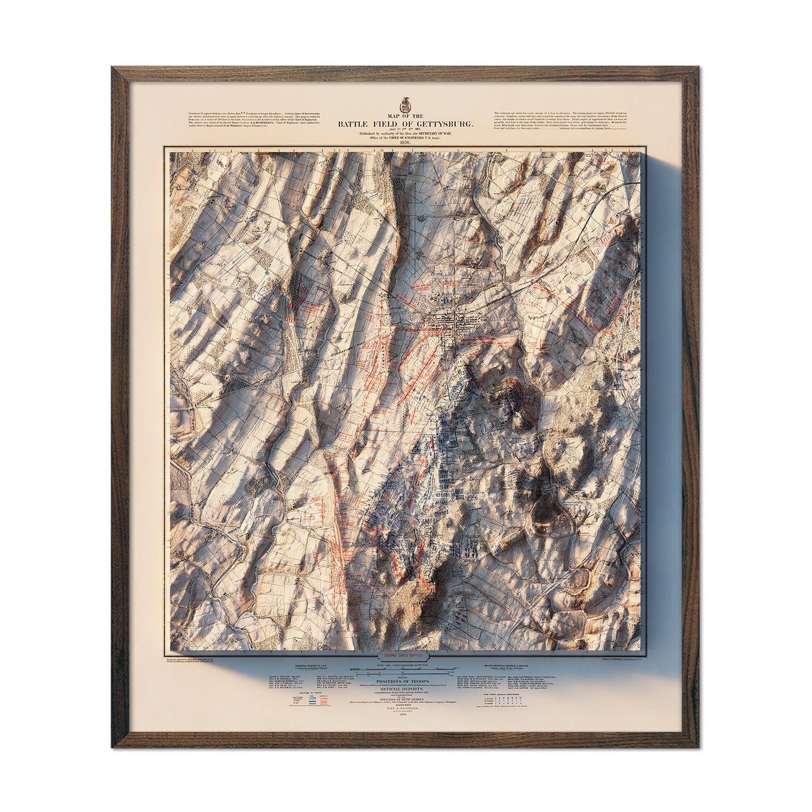
Gettysburg 2nd Day 1876 Shaded Relief Map
Regular price
From
$ 99.00 USD
Georgia 3D Raised Relief Map
Regular price
From
$ 139.00 USD
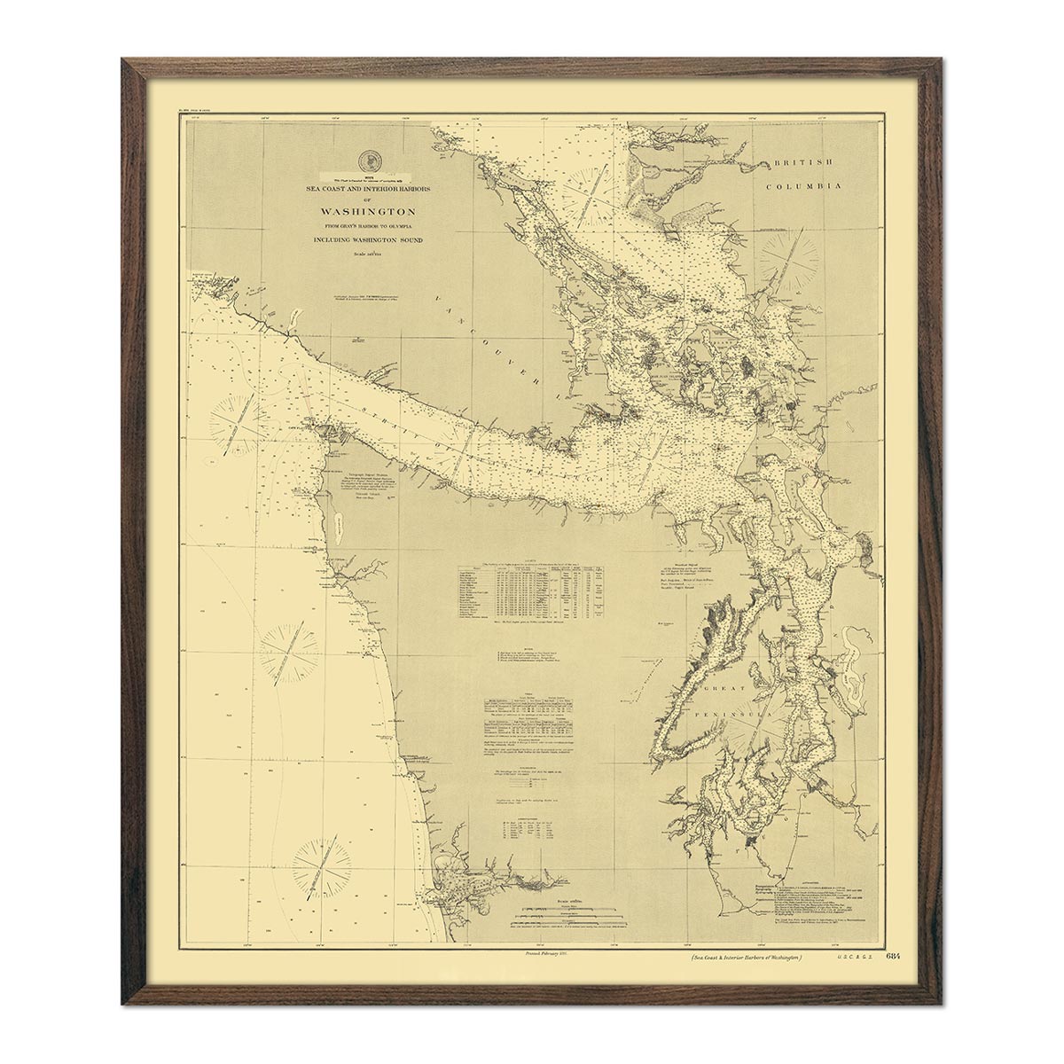
Washington Coast and Interior Harbors - Gray's Harbor to Olympia Nautical Chart 1888
Regular price
From
$ 64.00 USD
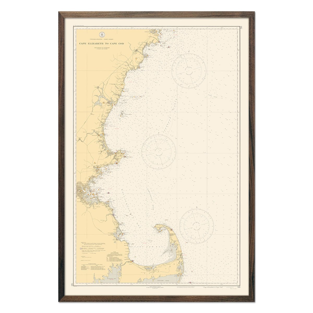
Cape Elizabeth to Cape Cod Nautical Chart 1935
Regular price
From
$ 79.00 USD
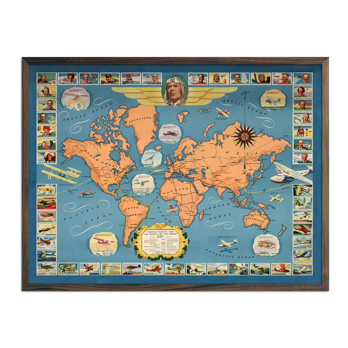
Famous Flights and Air Routes of the World
Regular price
From
$ 79.00 USD
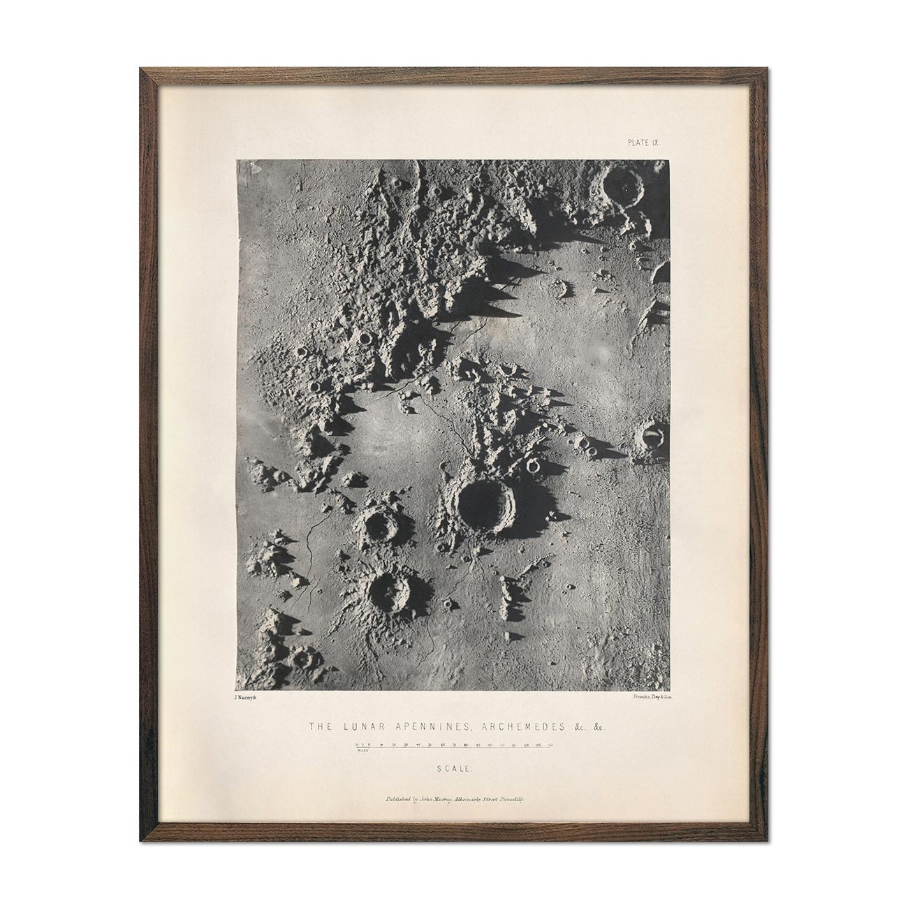
1874 Lunar Apennines, Archemedes Craters Print
Regular price
From
$ 64.00 USD
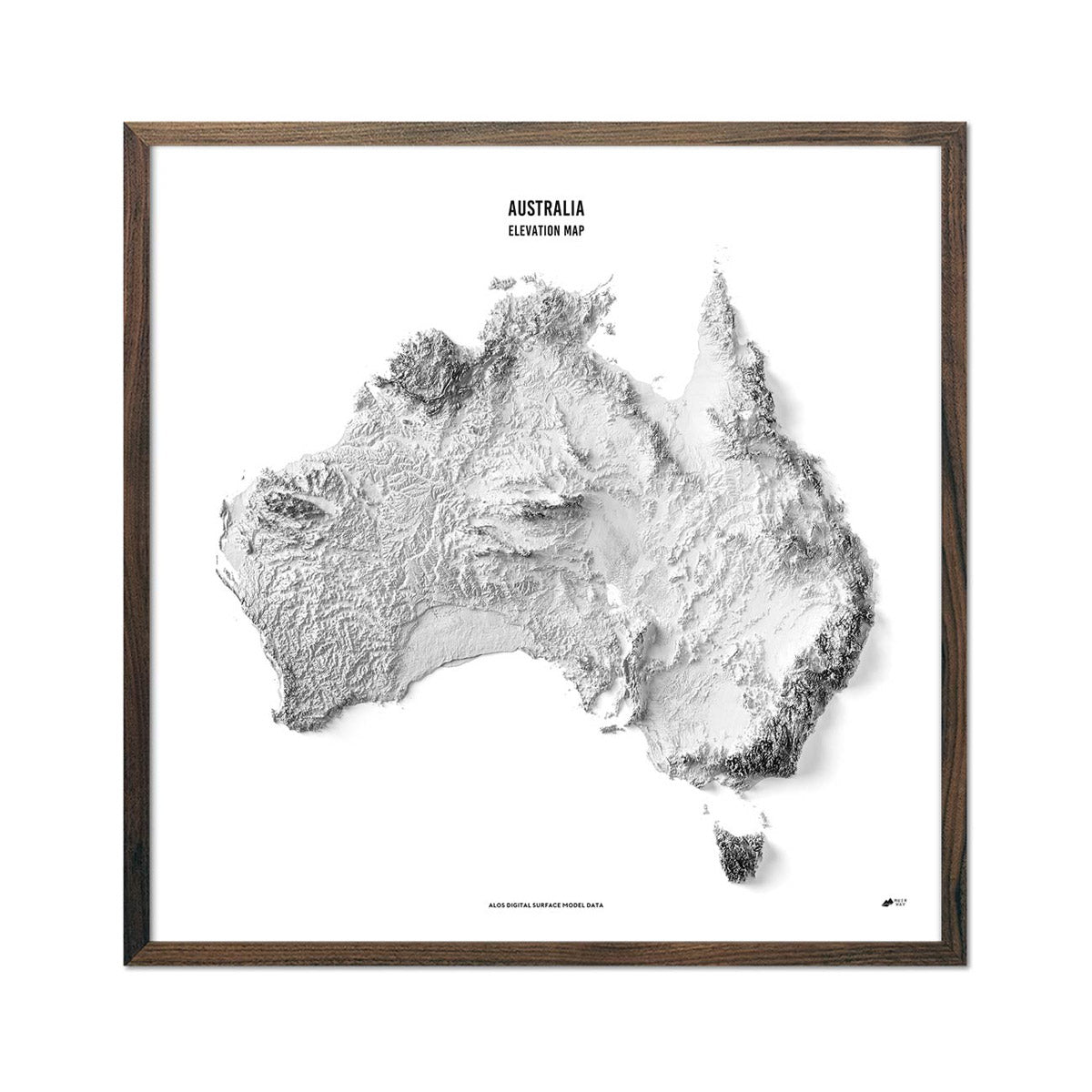
Australia Elevation Map
Regular price
From
$ 89.00 USD
Denali, AK 1954 Shaded Relief Map
Regular price
From
$ 99.00 USD
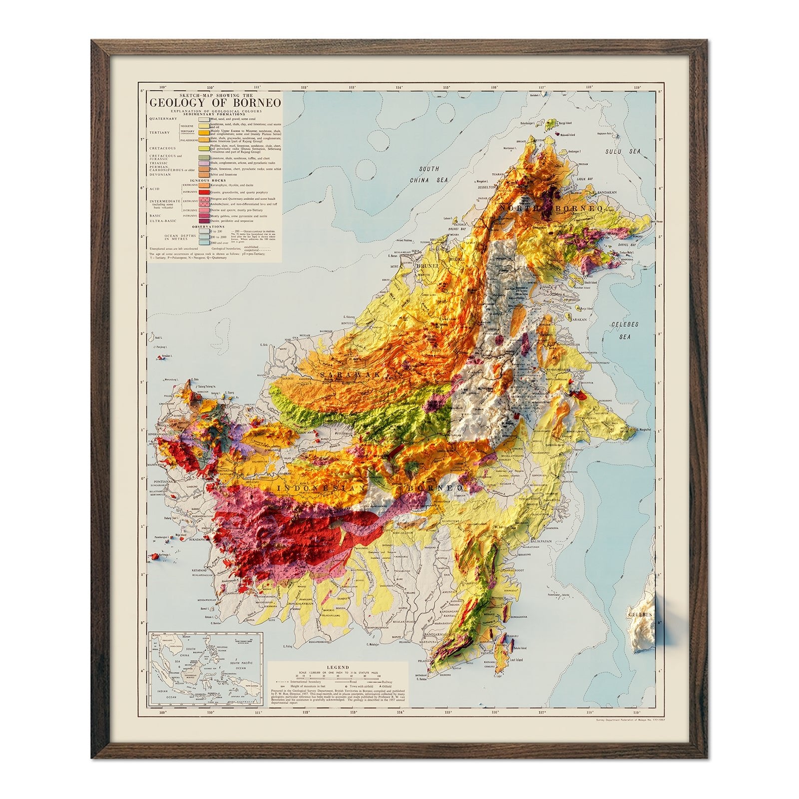
Borneo 1957 Shaded Relief Map
Regular price
From
$ 99.00 USD
5.0 / 5.0
1 review
Zermatt 1970 Shaded Relief Map
Regular price
From
$ 79.00 USD
5.0 / 5.0
1 review
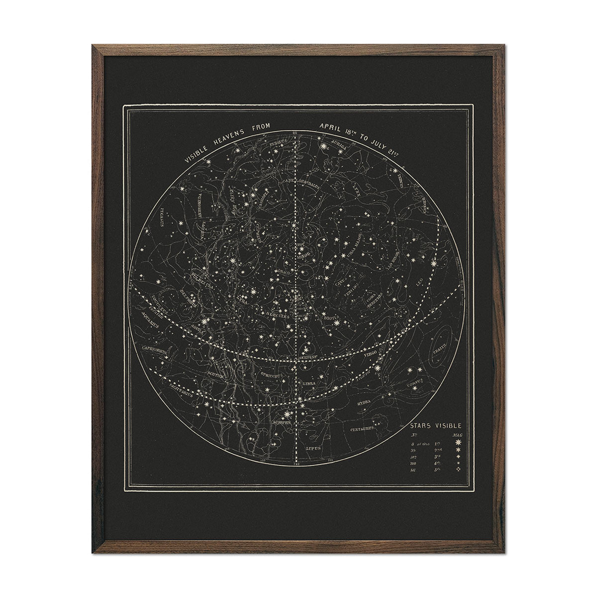
Map of the Heavens April-July 1850
Regular price
From
$ 64.00 USD
5.0 / 5.0
112 reviews
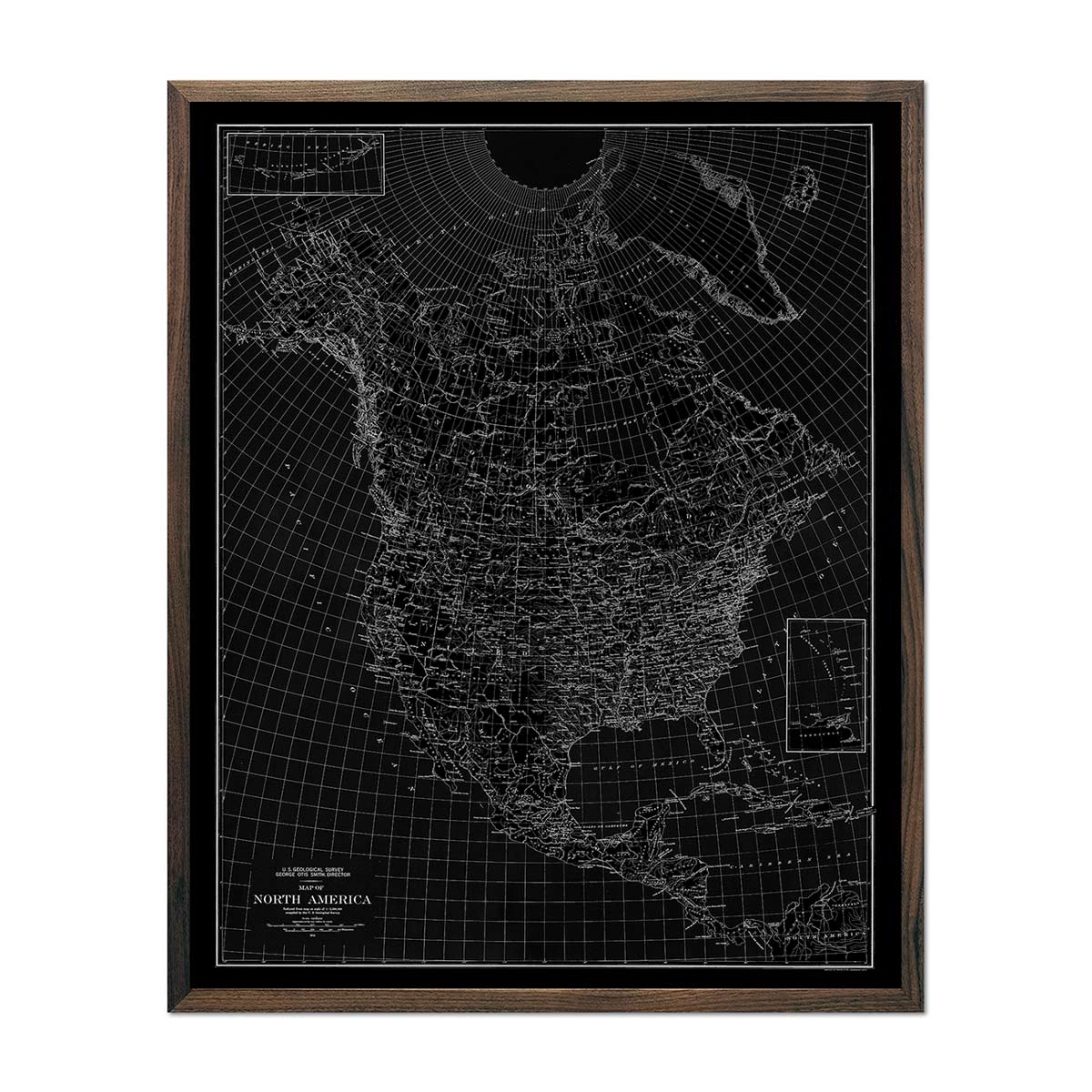
North America 1912 USGS Map Black
Regular price
From
$ 64.00 USD
5.0 / 5.0
112 reviews
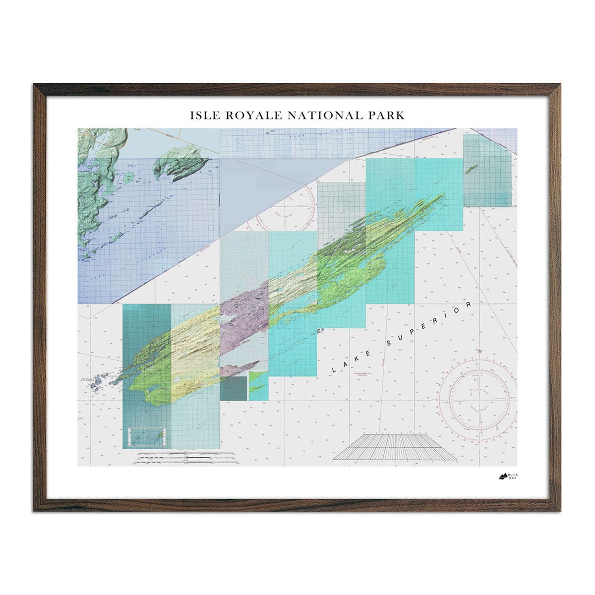
Isle Royale Shaded Relief Map
Regular price
From
$ 79.00 USD
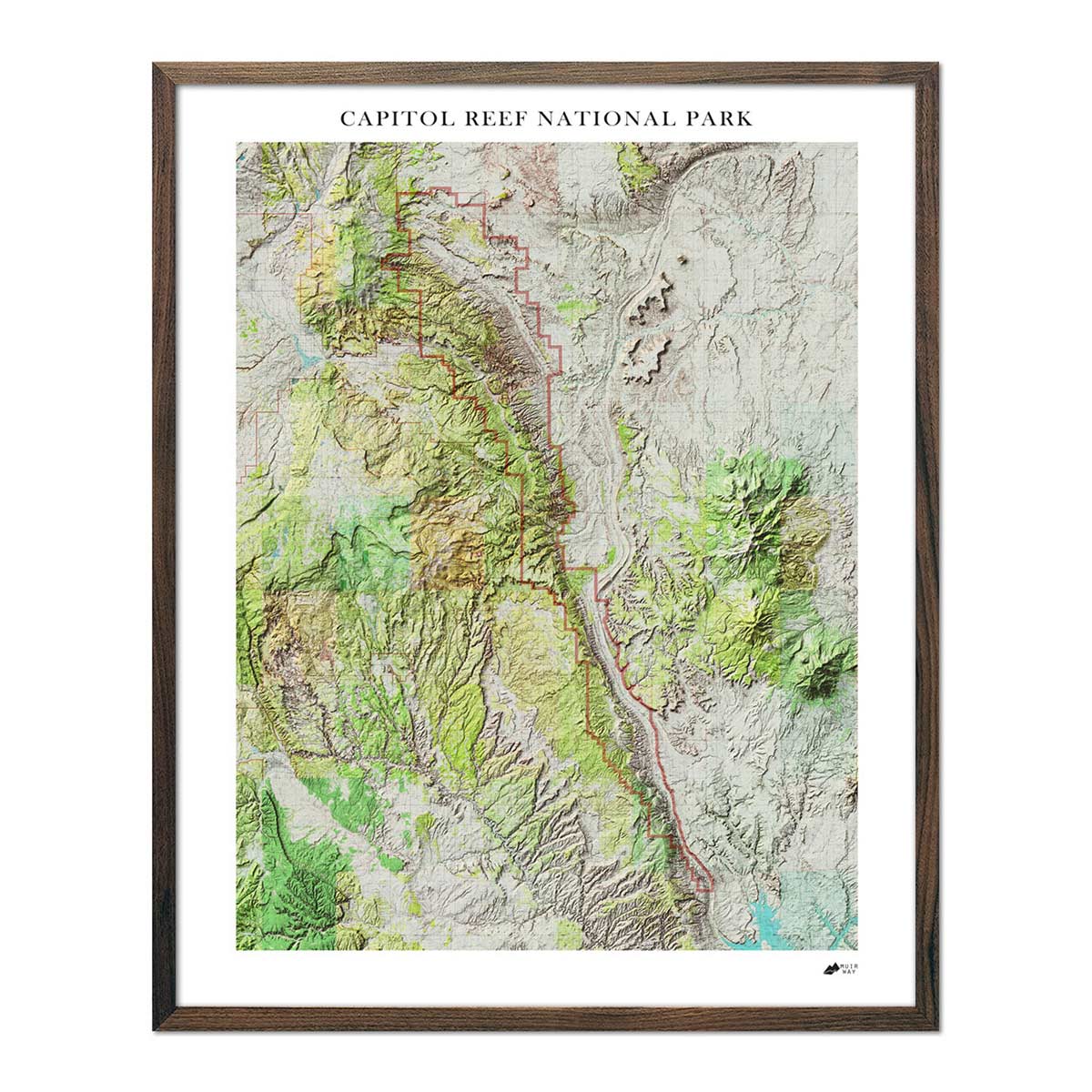
Capitol Reef Shaded Relief Map
Regular price
From
$ 79.00 USD
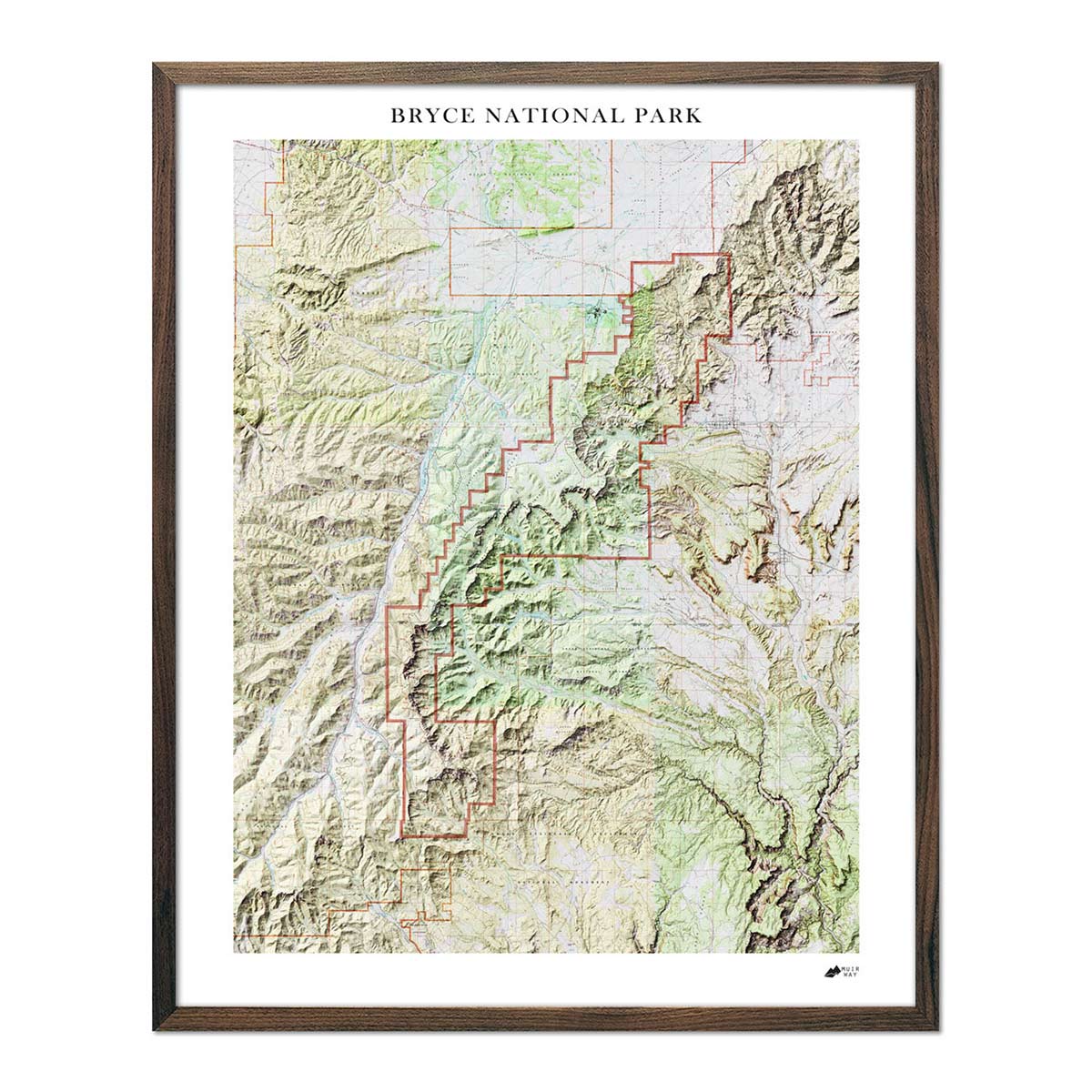
Bryce Canyon Shaded Relief Map
Regular price
From
$ 79.00 USD
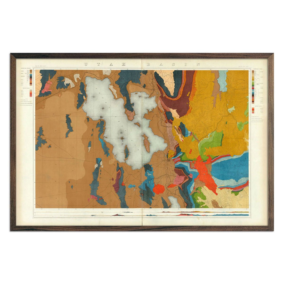
Utah Basin 1876 Geological Map
Regular price
From
$ 69.00 USD
5.0 / 5.0
4 reviews
Mount Baldy, California
Regular price
From
$ 49.00 USD
5.0 / 5.0
1 review
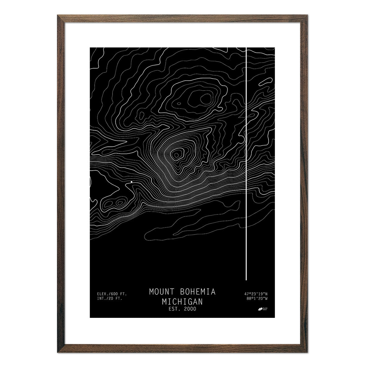
Mount Bohemia, Michigan
Regular price
From
$ 49.00 USD
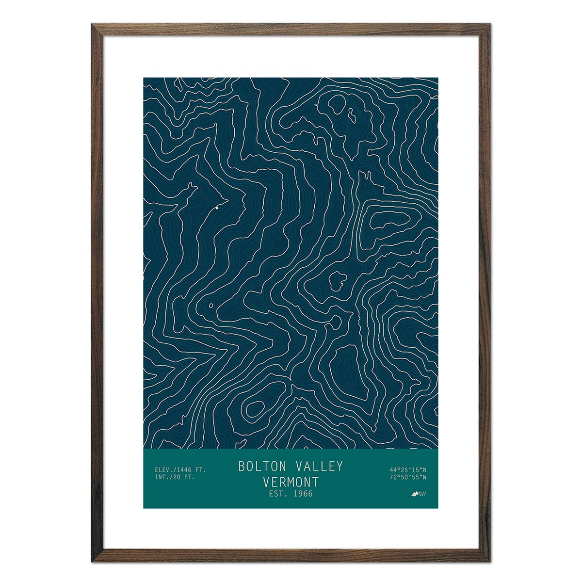
Bolton Valley, Vermont
Regular price
From
$ 49.00 USD
5.0 / 5.0
1 review
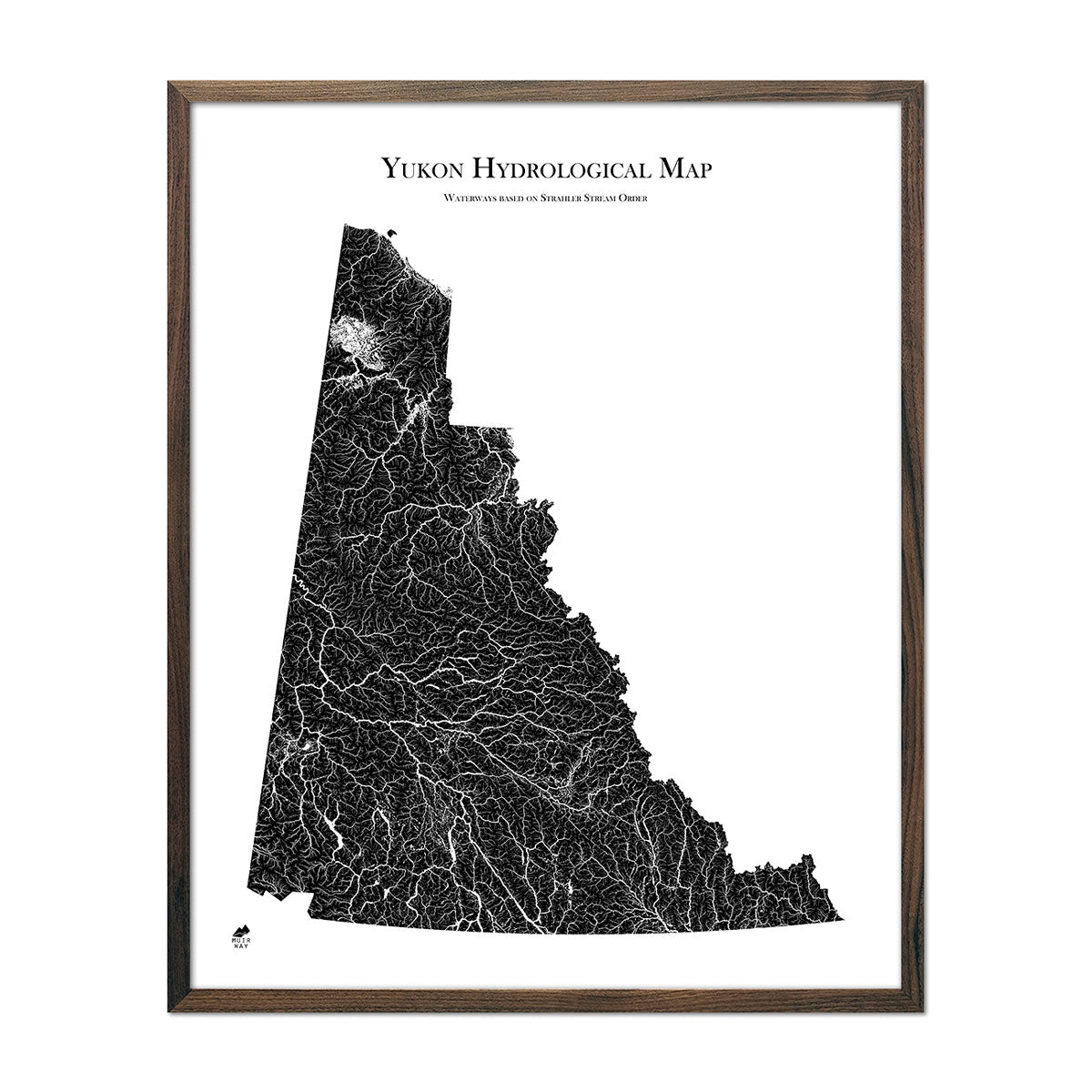
Yukon Hydrological Map
Regular price
From
$ 64.00 USD
5.0 / 5.0
1680 reviews
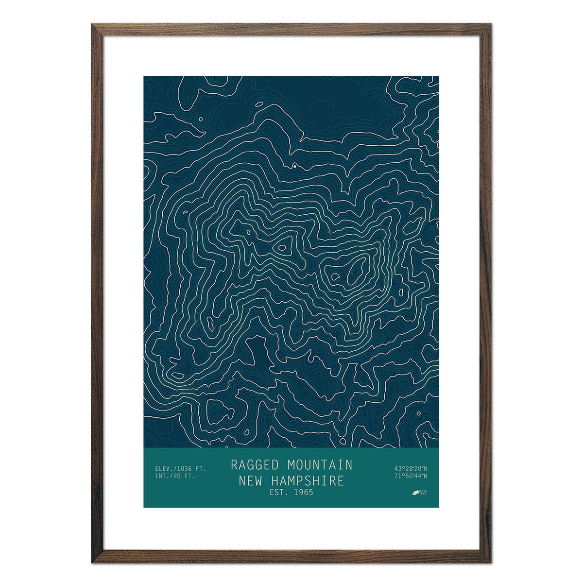
Ragged Mountain, New Hampshire
Regular price
From
$ 49.00 USD
5.0 / 5.0
2 reviews
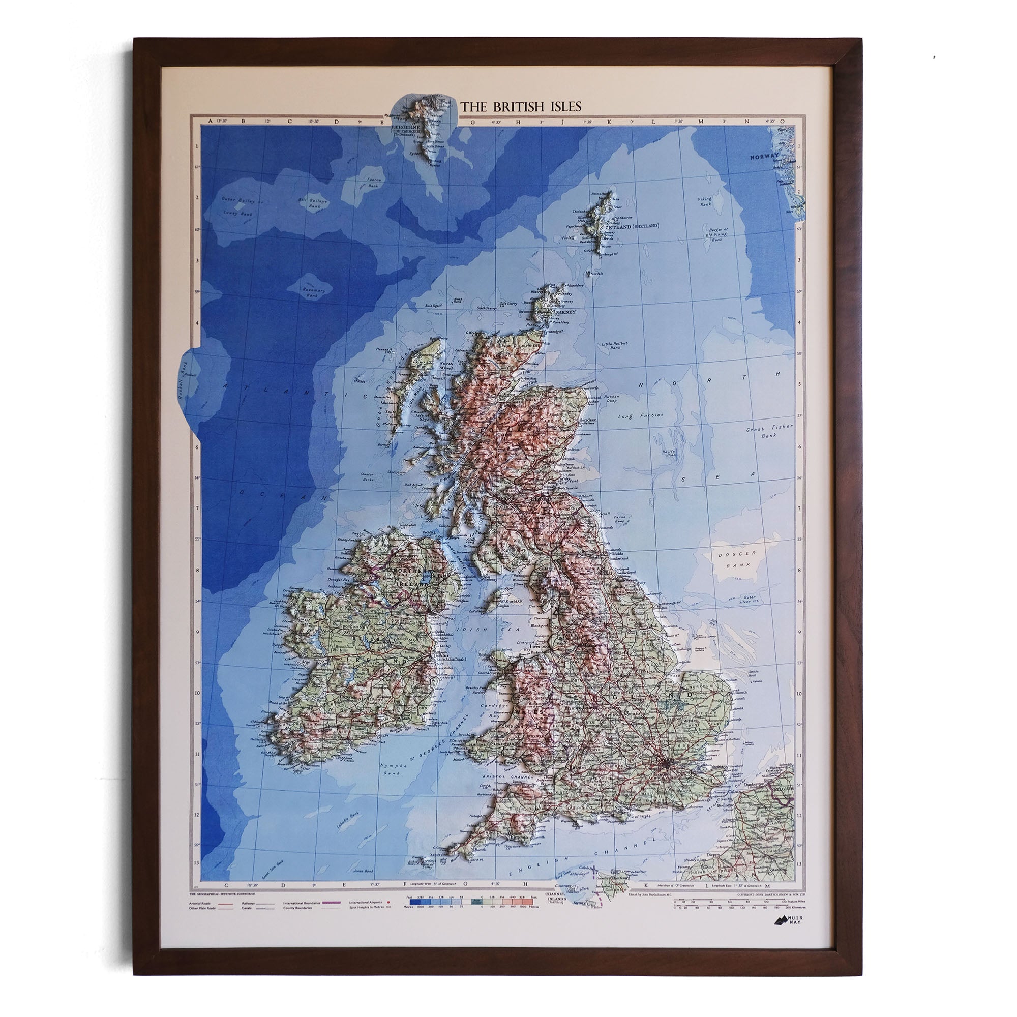
Great Britain 1955 3D Raised Relief Map
Regular price
From
$ 185.00 USD
5.0 / 5.0
1 review
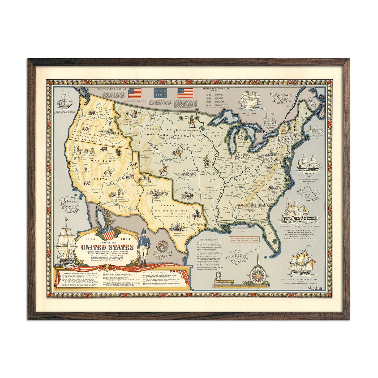
Map of the United States Showing Boundaries 1844
Regular price
From
$ 64.00 USD
Cathedral Rock, Yosemite 1868
Regular price
From
$ 35.00 USD
4.7 / 5.0
19 reviews
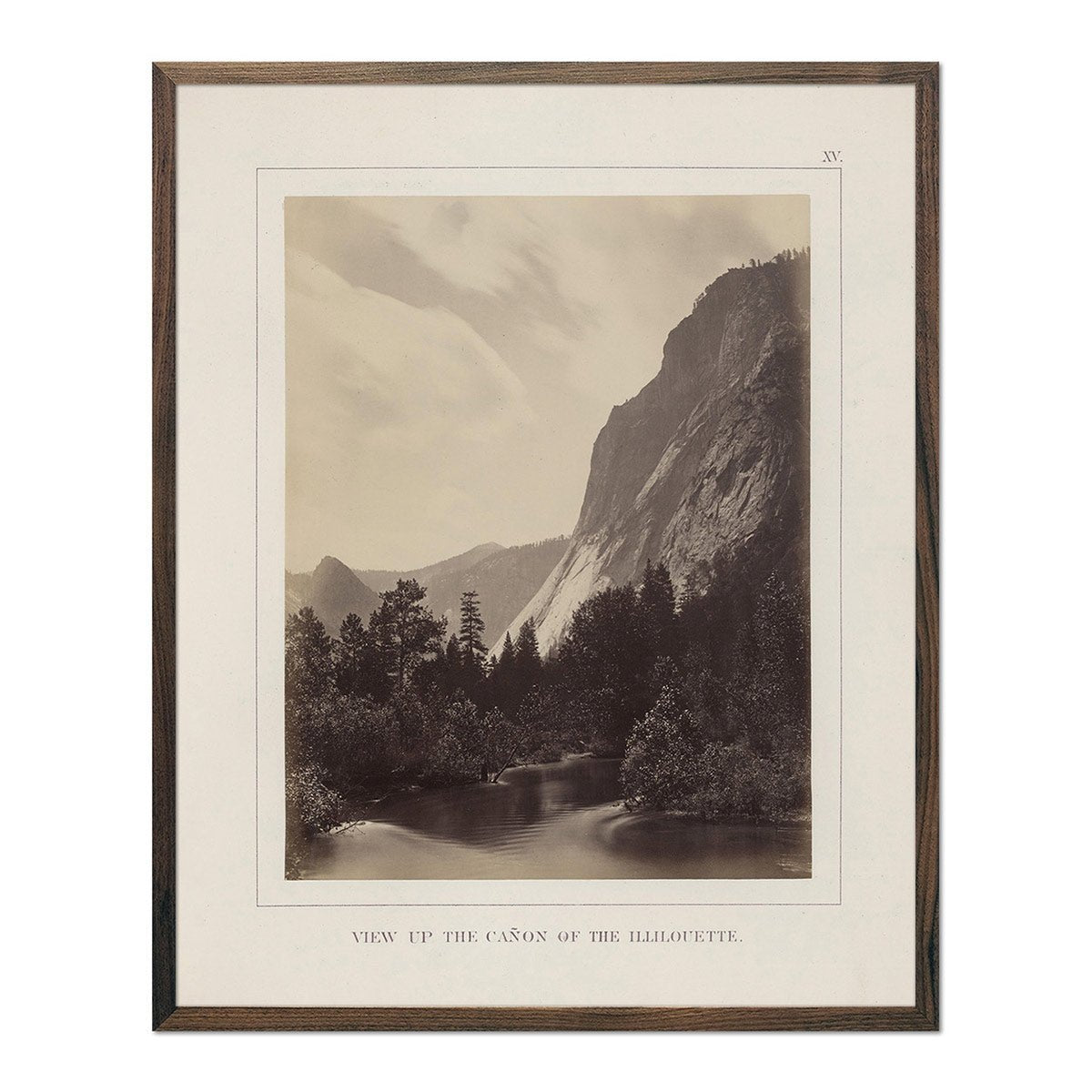
Canyon and Illilouette, Yosemite 1868
Regular price
From
$ 35.00 USD
4.7 / 5.0
19 reviews
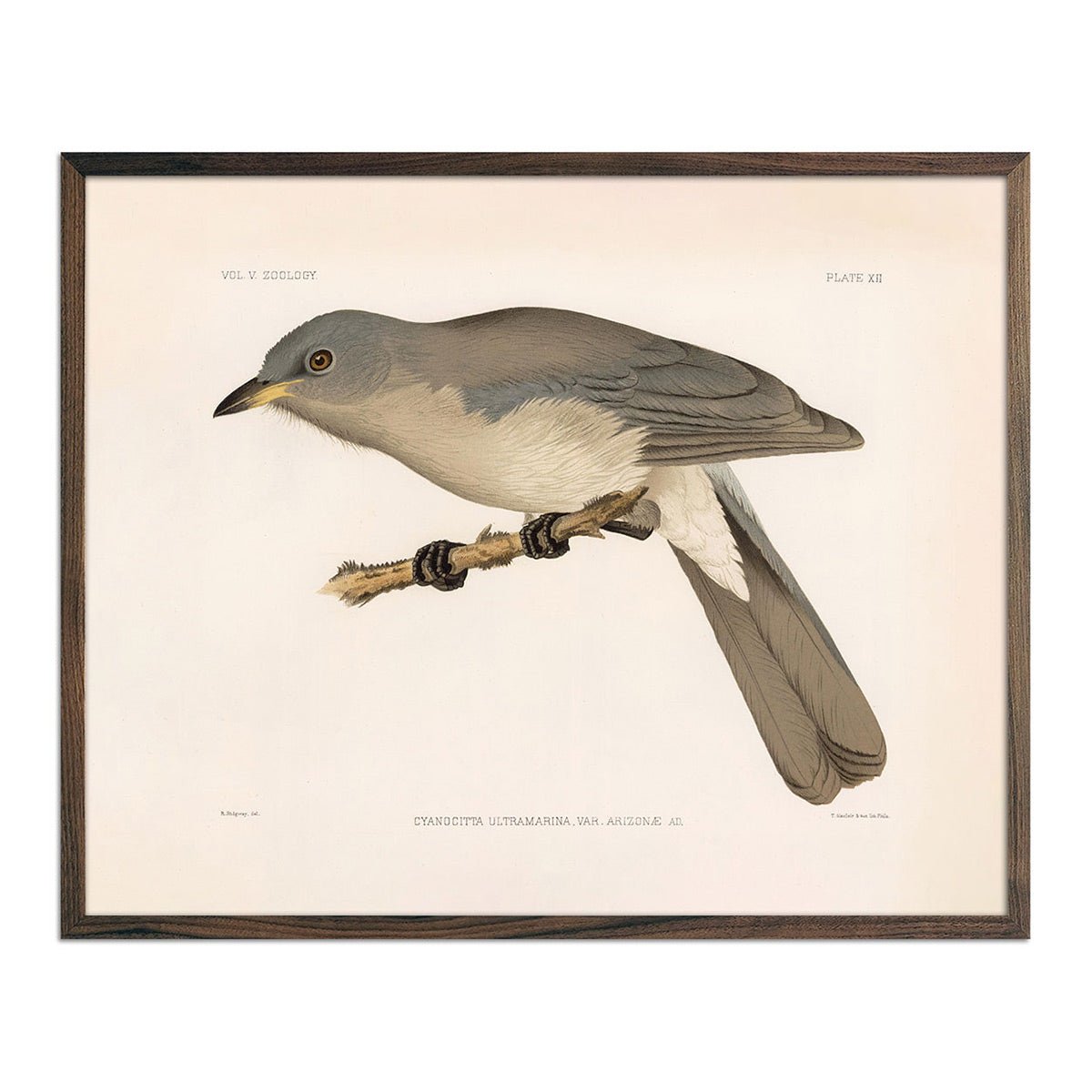
Mexican Jay Art Print
Regular price
From
$ 35.00 USD
5.0 / 5.0
25 reviews
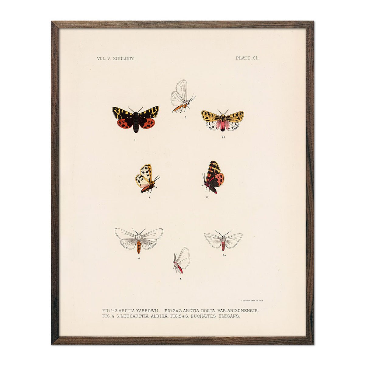
Moths Art Print
Regular price
From
$ 35.00 USD
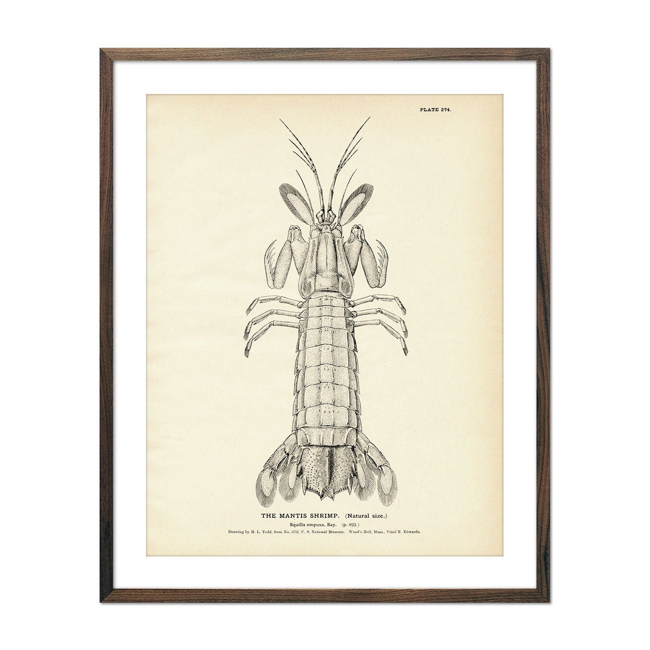
Mantis Shrimp Art Print
Regular price
From
$ 35.00 USD
5.0 / 5.0
2 reviews
Sawfish Art Print
Regular price
From
$ 35.00 USD
Jew-Fish (Warsaw) Art Print
Regular price
From
$ 35.00 USD
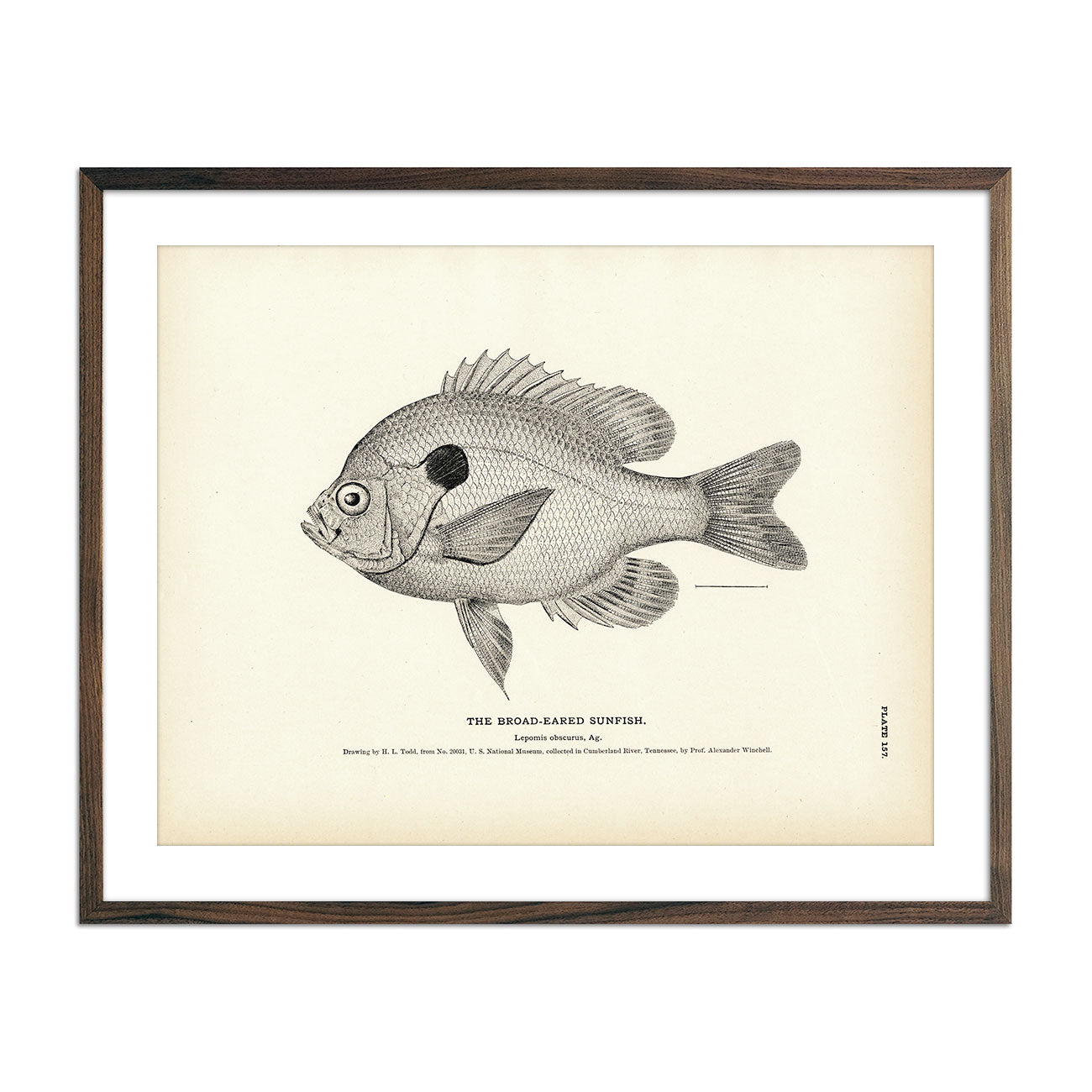
Broad-Eared Sunfish Art Print
Regular price
From
$ 35.00 USD
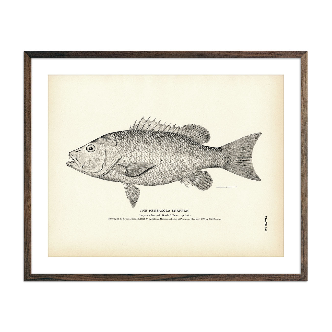
Pensacola Snapper Art Print
Regular price
From
$ 35.00 USD
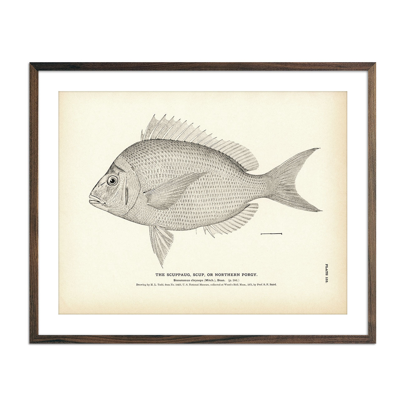
Scuppaug (Scup) (Northern Porgy) Art Print
Regular price
From
$ 35.00 USD
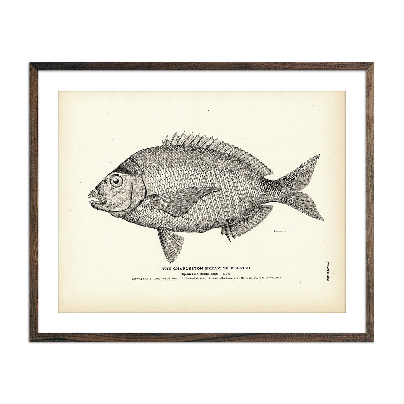
Charleston Bream (Pin-Fish) Art Print
Regular price
From
$ 35.00 USD
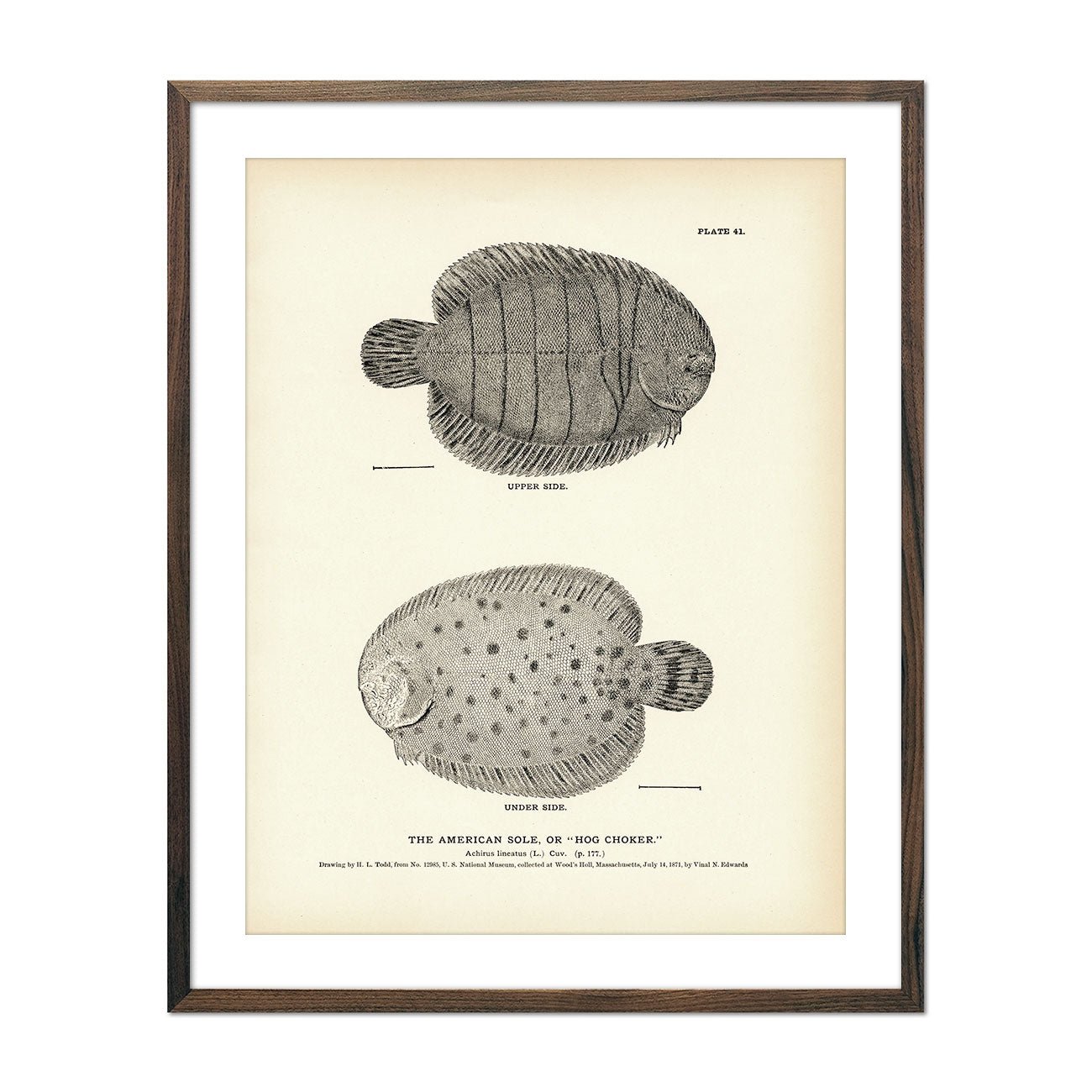
American Sole (Hog Choker) Art Print
Regular price
From
$ 35.00 USD
« Previous
·
1
…
18
19
20
21
22
…
31
·
Next »
Your cart
Close
Spend
$ 49.00 USD
more for
free shipping
!
Your order is eligible for free shipping!
You may also like
Previous
Next
The Lake Tahoe Tumbler
Regular price
$ 59.00 USD
Add to cart
Close
Your cart is empty
Start shopping