Skip to content
Facebook
Instagram
Pinterest
FREE SHIPPING ON ORDERS OVER $49
Country/Region
United States (USD $)
United States (USD $)
Best Sellers
3D "Factory Seconds" Sale
Shop by Region
Shop by Type
Historical Prints
Home Goods
About Us
Search for your map
Account
Cart
Popular Collections
Best Sellers
Shop by Region
Maps of USA
State Maps
International Maps
National Park Maps
Shop by Type
3D RAISED Relief Maps
Hydrological Maps
Custom Wood Carved Map
Regular price
From
$ 300.00 USD
5.0 / 5.0
3 reviews
Vintage Shaded Relief Maps
Elevation Maps
Natural Atlas
TOPO Series
National Parks Series
Shaded Relief Series
Range Series
Digital Gift Card
Regular price
From
$ 20.00 USD
5.0 / 5.0
5 reviews
Walnut Frames "Factory Seconds"
Historical Prints
1884 Fish Drawings
1875 Zoology Lithographs
1868 Yosemite Photographs
1873 Yellowstone Photographs
1874 Moon Photography
Astronomy
Civil War Maps
Historical Nautical Charts
Vintage Maps - Misc
USGS Quadrant Maps
1876 State Map Collection
1876 Geologic & Topographic
1883 US State Maps
1904 Yellowstone Maps
1906 Hawaiian Islands Maps
Apparel/Home Goods
Glasses
Books
Tees
Hats
Blankets
Walnut Frame for 3D Raised Relief Map
Regular price
From
$ 220.00 USD
5.0 / 5.0
1 review
About Us
Our Story
Reviews
FAQs
Shipping and Returns
Contact Us
Best Sellers
3D "Factory Seconds" Sale
Shop by Region
USA Maps
State Maps
International Maps
National Park Maps
Shop by Type
Collections
3D RAISED Relief
2D Vintage Shaded Relief
Hydrology Series
Custom Maps
Golf Courses - 3D Wood
2D Elevation Relief
Natural Atlas Maps
TOPO Series
National Park Series
2D Shaded Relief
Mountain Range
Gift Cards
Walnut Frames
3D RAISED Relief Maps
Hydrological Maps
3D Raised Relief
Historical Prints
Illustrations and Photographs
1884 Fish Drawings
1875 Zoology Drawings
1868 Yosemite Photos
1873 Yellowstone Photos
1874 Moon Photos
Historical Maps
Astronomy
Civil War Maps
Nautical Maps
Assorted Vintage
USGS Quadrant Maps
1876 State Maps
1876 Geologic/Topographic
1883 State Maps
1904 Yellowstone Maps
1906 Hawaii Maps
1884 Fish Drawings
Civil War Maps
Astronomy
Astronomy
Home Goods
Mountain Glasses
Field Guides
Books
Tees
Hats
Topo Blankets
Walnut Frames
Mountain Glasses
Tees
Books
About Us
Our Story
Reviews
FAQs
Shipping and Returns
Contact Us
All Muir Way Maps
Filter
Sort by
Best selling
Most relevant
Best selling
Alphabetically, A-Z
Alphabetically, Z-A
Date, old to new
Date, new to old
Filters
Sort by
Most relevant
Best selling
Alphabetically, A-Z
Alphabetically, Z-A
Date, old to new
Date, new to old
Apply
1874 Lunar Mountains and Landscape Print
Regular price
From
$ 64.00 USD
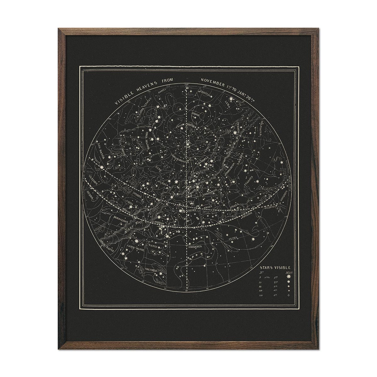
Map of the Heavens November-January 1850
Regular price
From
$ 64.00 USD
5.0 / 5.0
112 reviews
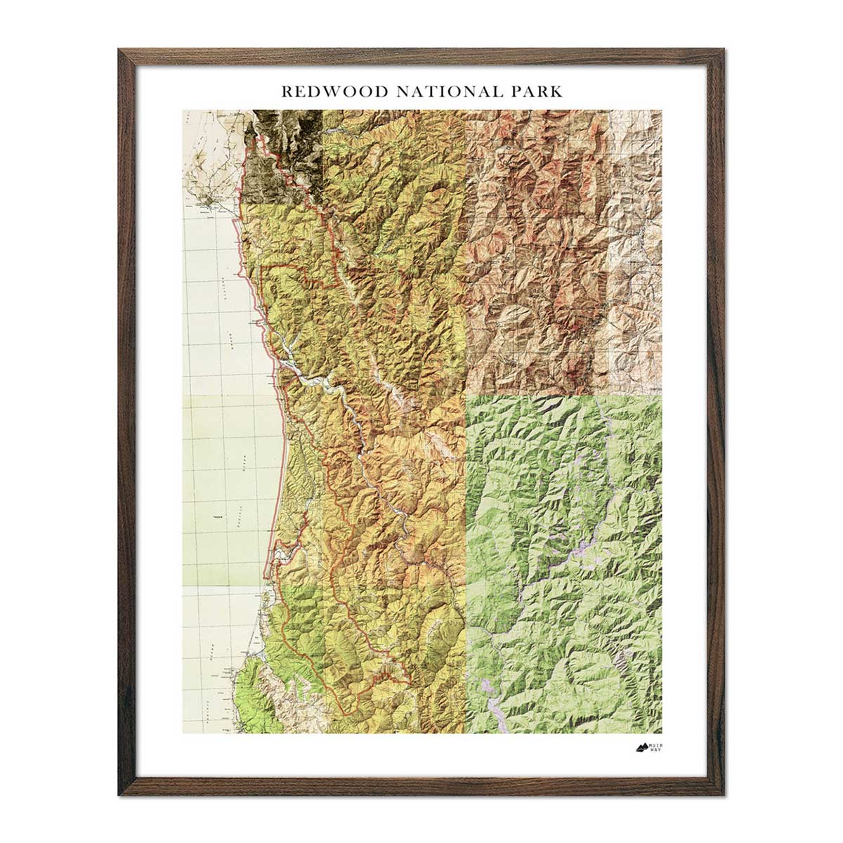
Redwood National Park Shaded Relief Map
Regular price
From
$ 79.00 USD
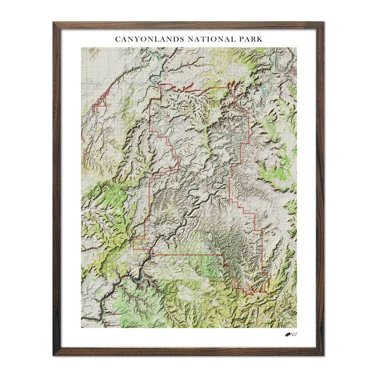
Canyonlands Shaded Relief Map
Regular price
From
$ 79.00 USD
Utah 1883 Map
Regular price
From
$ 64.00 USD
4.7 / 5.0
3 reviews
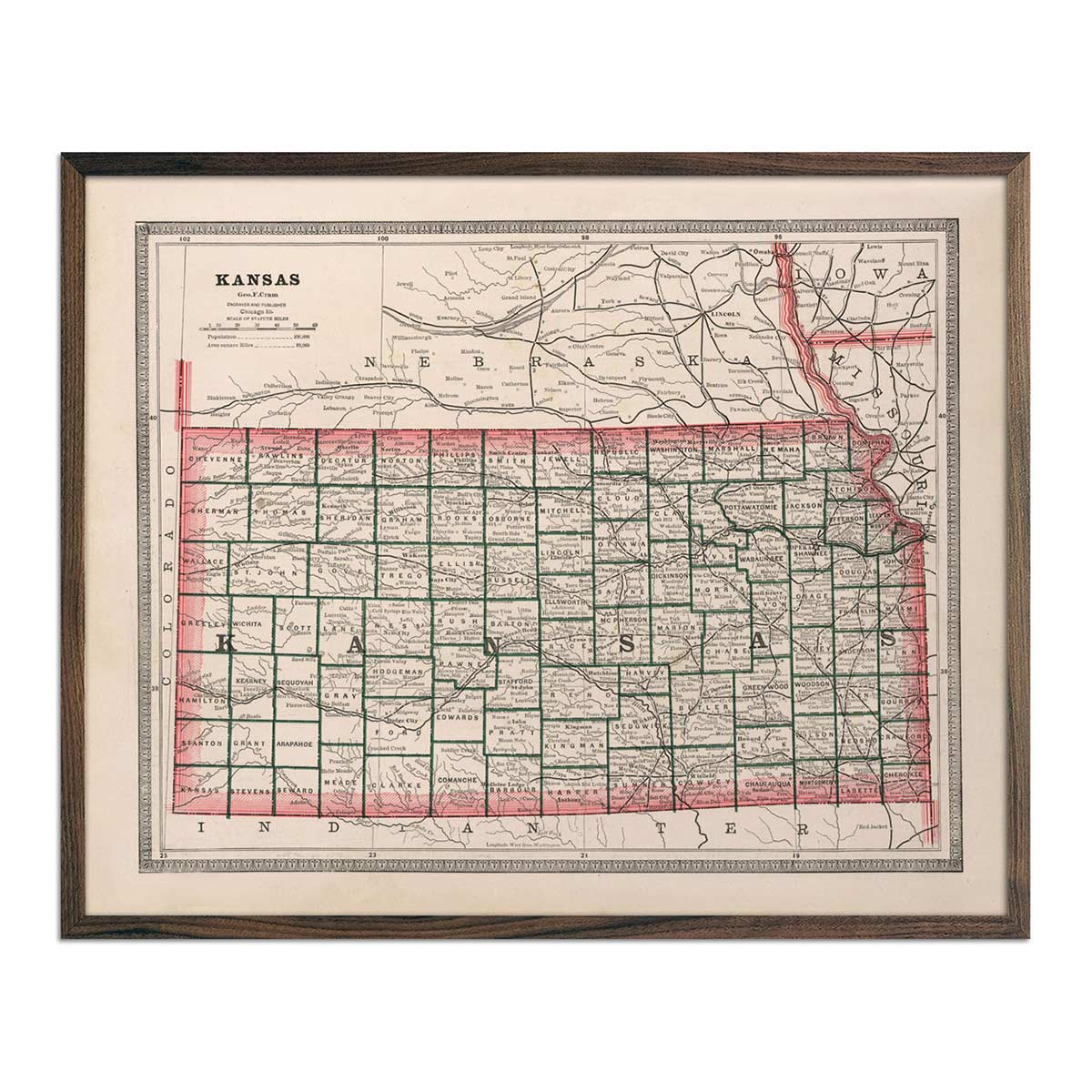
Kansas 1883 Map
Regular price
From
$ 64.00 USD
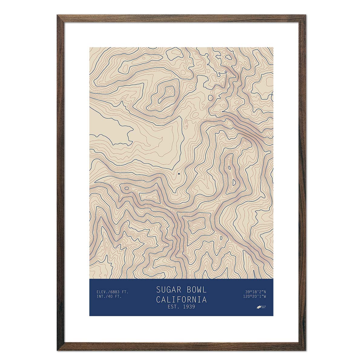
Sugar Bowl, California
Regular price
From
$ 49.00 USD
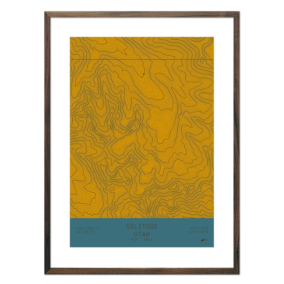
Solitude, Utah
Regular price
From
$ 49.00 USD
Bogus Basin, Idaho
Regular price
From
$ 49.00 USD
5.0 / 5.0
1 review
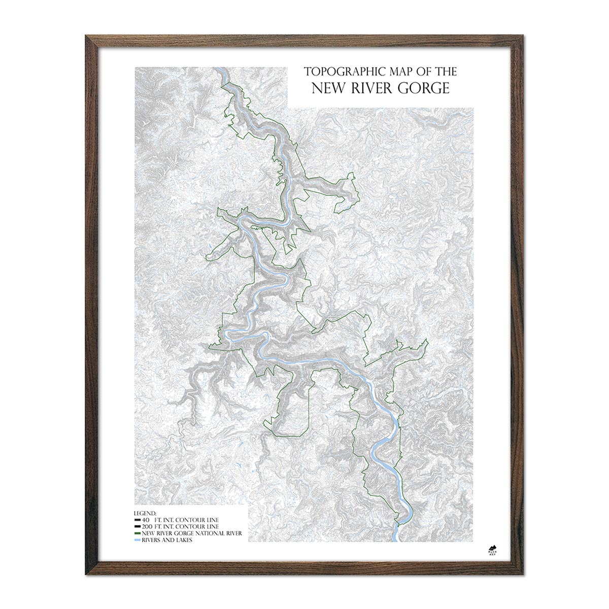
New River Gorge Map
Regular price
From
$ 99.00 USD
5.0 / 5.0
1 review
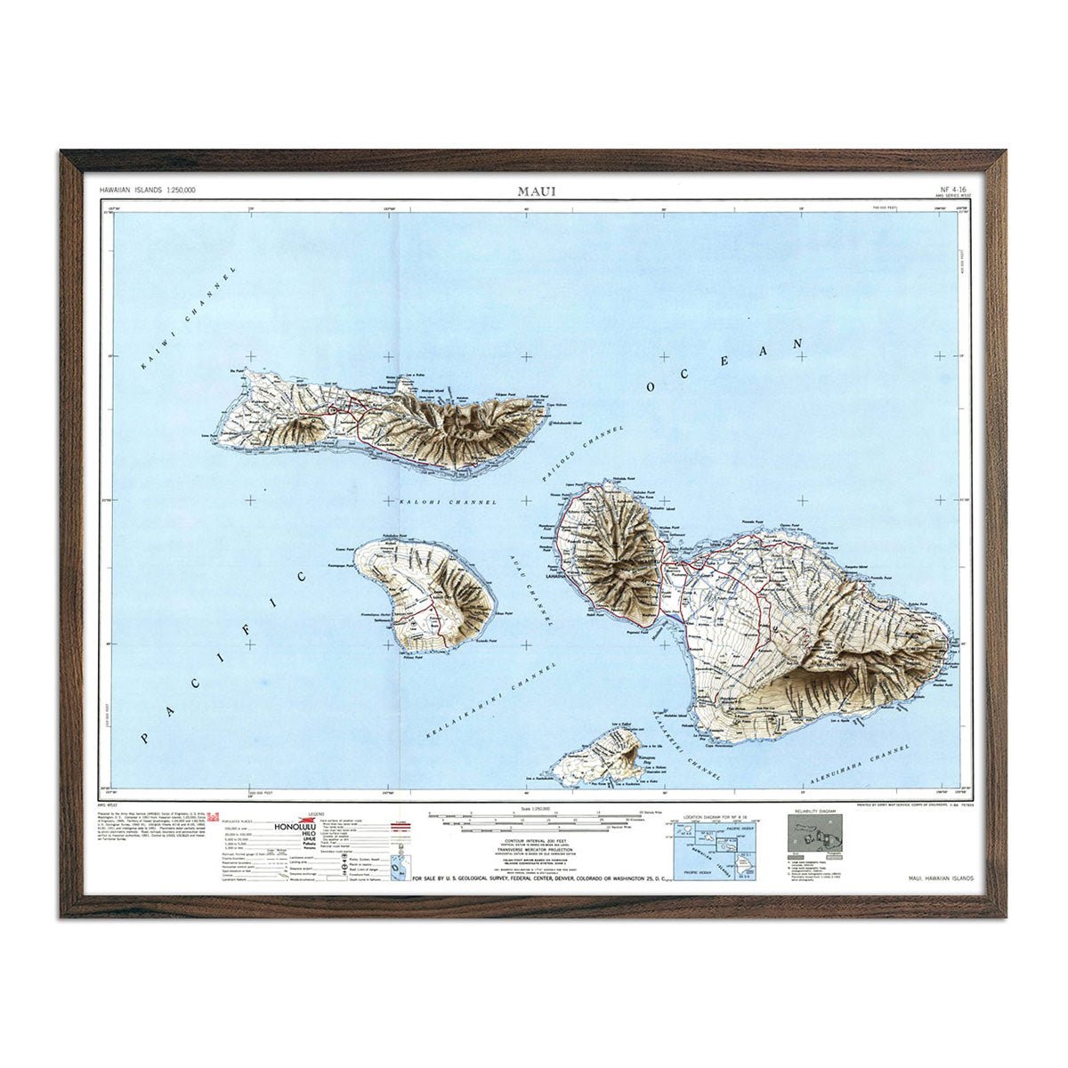
Maui, HI 1951 USGS Map
Regular price
From
$ 64.00 USD
4.9 / 5.0
144 reviews
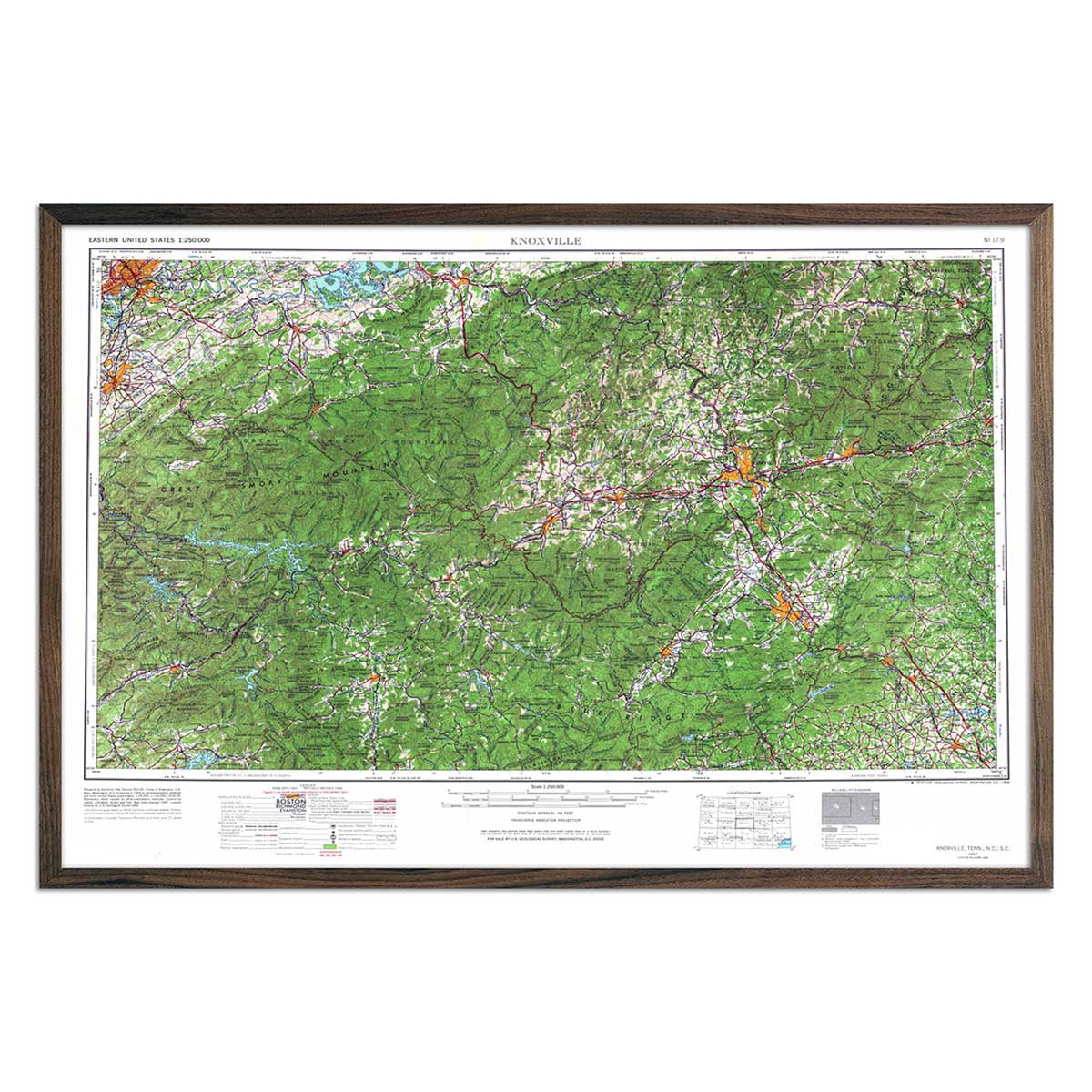
Vintage Knoxville, TN Map - USGS 1966
Regular price
From
$ 69.00 USD
4.9 / 5.0
144 reviews
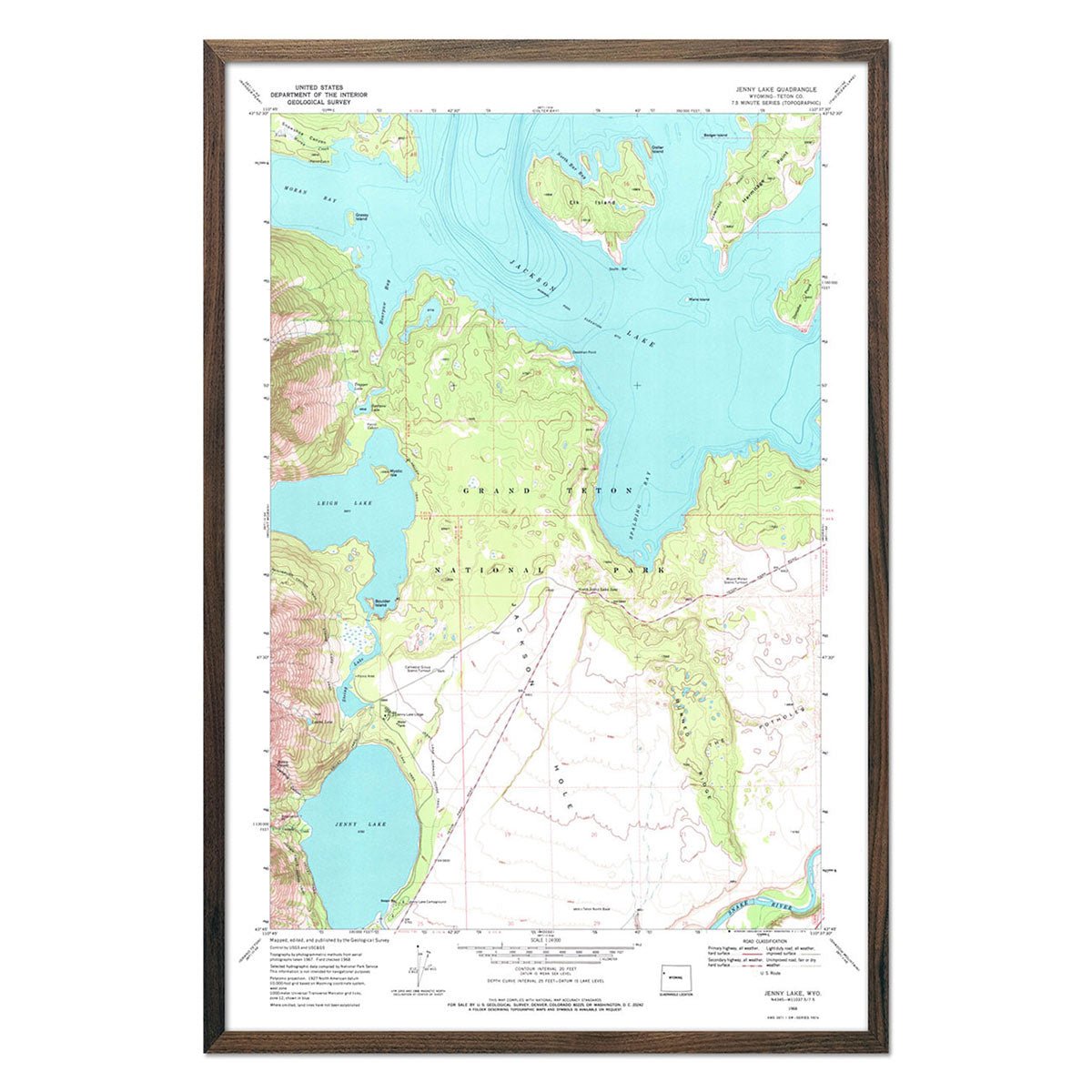
Grand Teton National Park 1972 USGS Map
Regular price
From
$ 69.00 USD
4.9 / 5.0
144 reviews
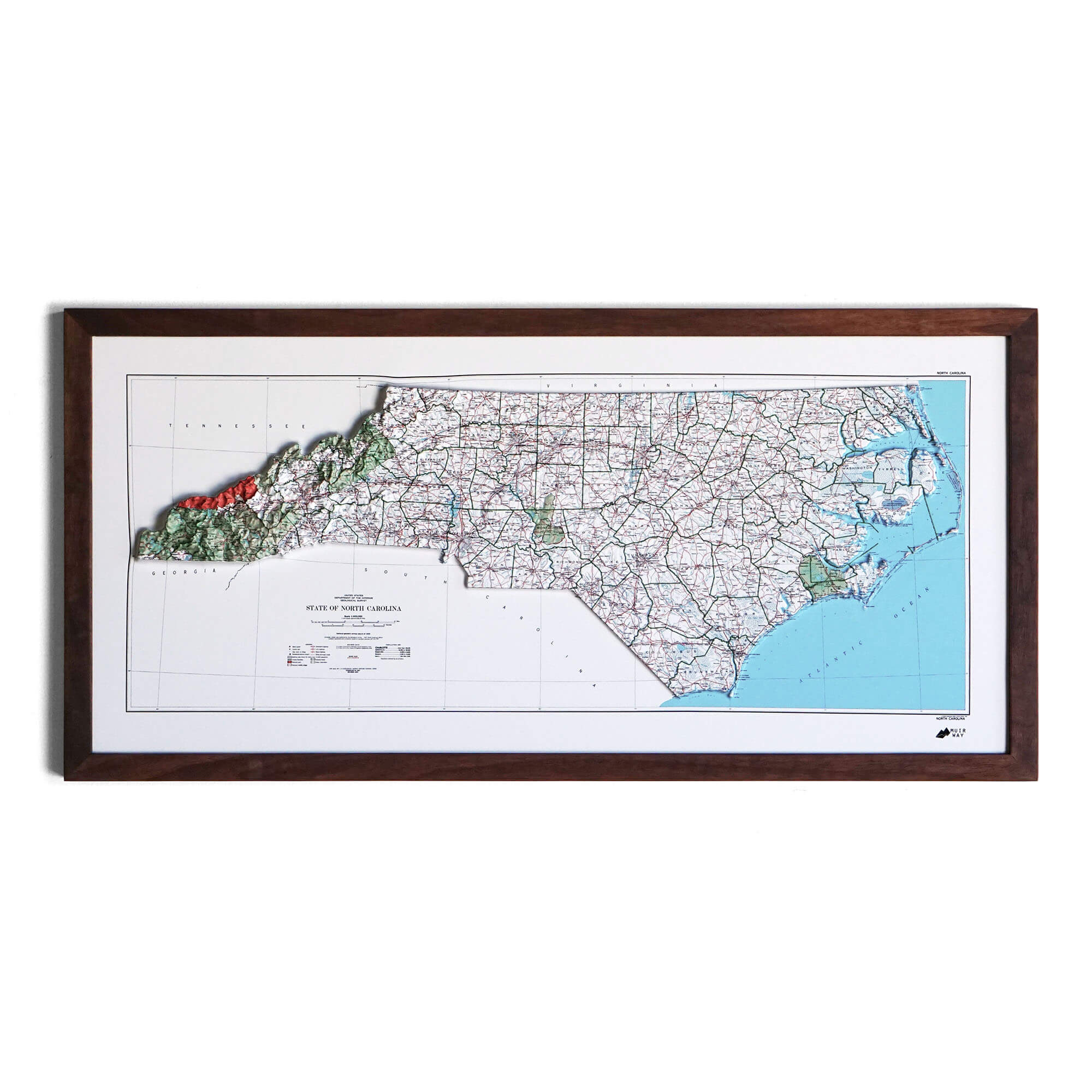
North Carolina 1972 3D Raised Relief Map
Regular price
From
$ 170.00 USD
West Snapback Hat
Regular price
$ 30.00 USD
5.0 / 5.0
1 review
Range Tee Vintage White
Regular price
$ 34.00 USD
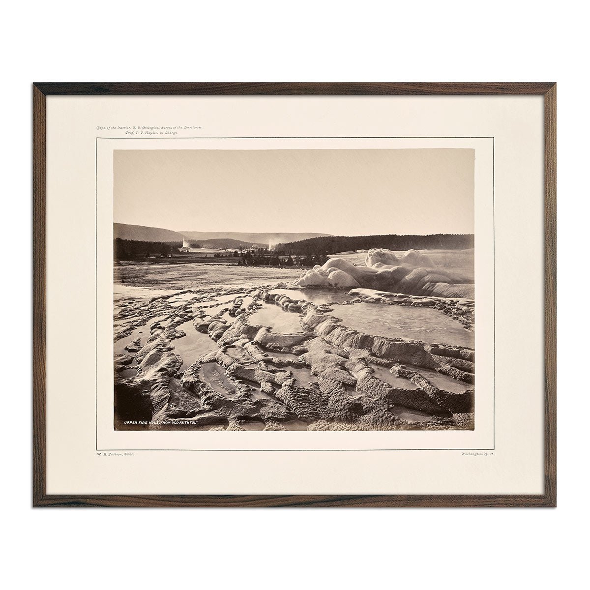
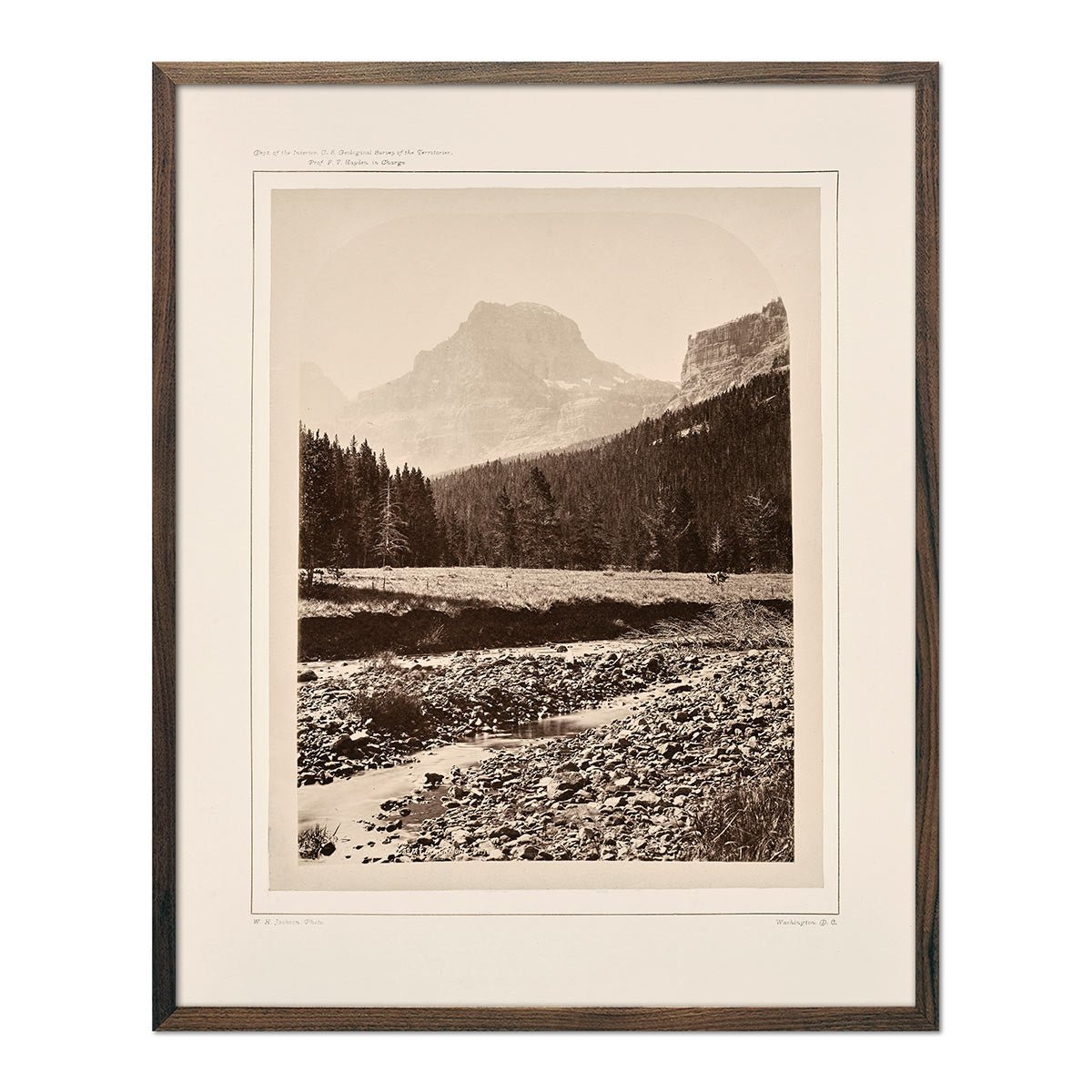
Upper Firehole Basin, from the Crater of Old Faithful, Yellowstone 1873
Regular price
From
$ 35.00 USD
4.7 / 5.0
12 reviews
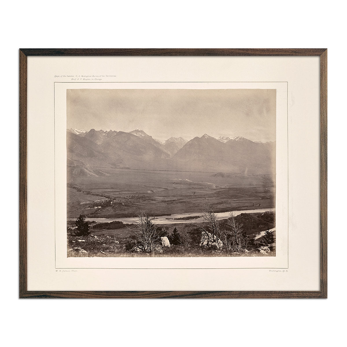
Panoramic View of Yellowstone Valley No. 2, Yellowstone 1873
Regular price
From
$ 35.00 USD
4.7 / 5.0
12 reviews
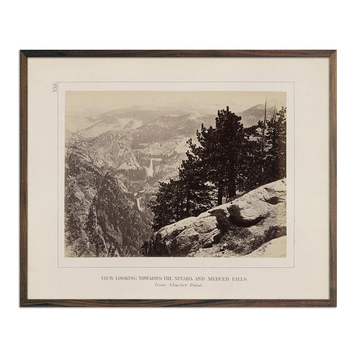
View from Glacier Point, Yosemite 1868
Regular price
From
$ 35.00 USD
4.7 / 5.0
19 reviews
Sagebush Sparrow Art Print
Regular price
From
$ 35.00 USD
5.0 / 5.0
25 reviews
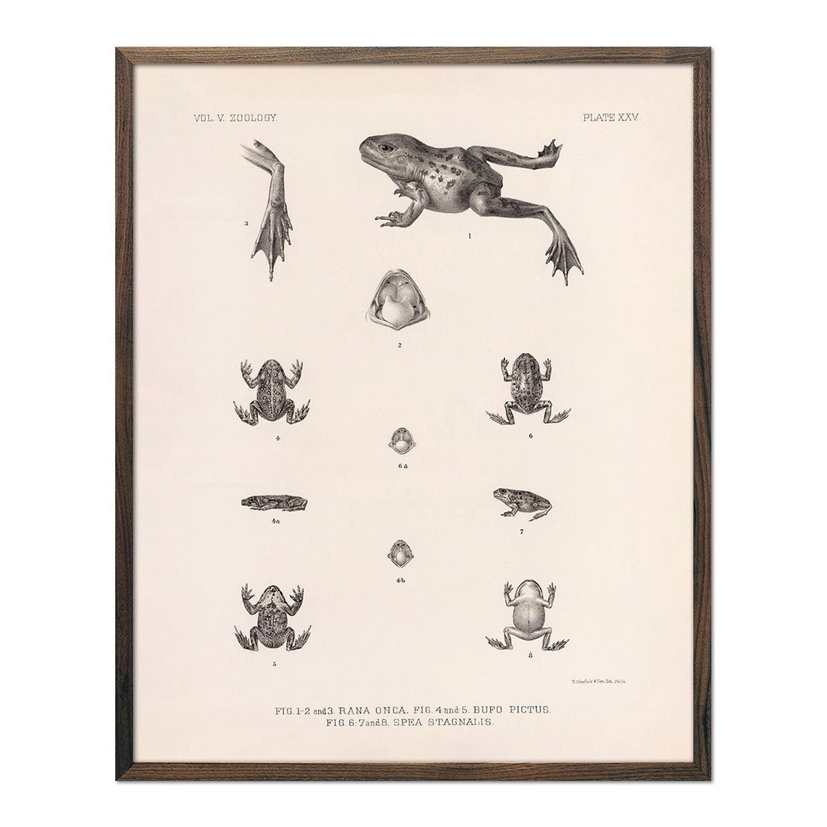
Frog and Toads Art Print
Regular price
From
$ 35.00 USD
Lizards - 1 Art Print
Regular price
From
$ 35.00 USD
5.0 / 5.0
1 review
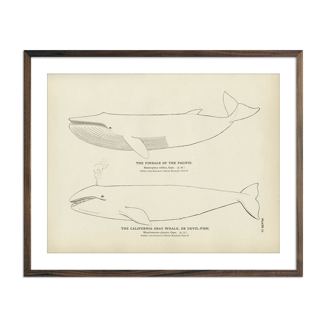
Finback and California Gray Whale (Devil-Fish) Art Print
Regular price
From
$ 35.00 USD
5.0 / 5.0
1 review
Red Crab Art Print
Regular price
From
$ 35.00 USD
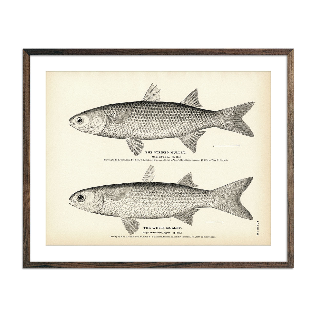
Striped Mullet and White Mullet Art Print
Regular price
From
$ 35.00 USD
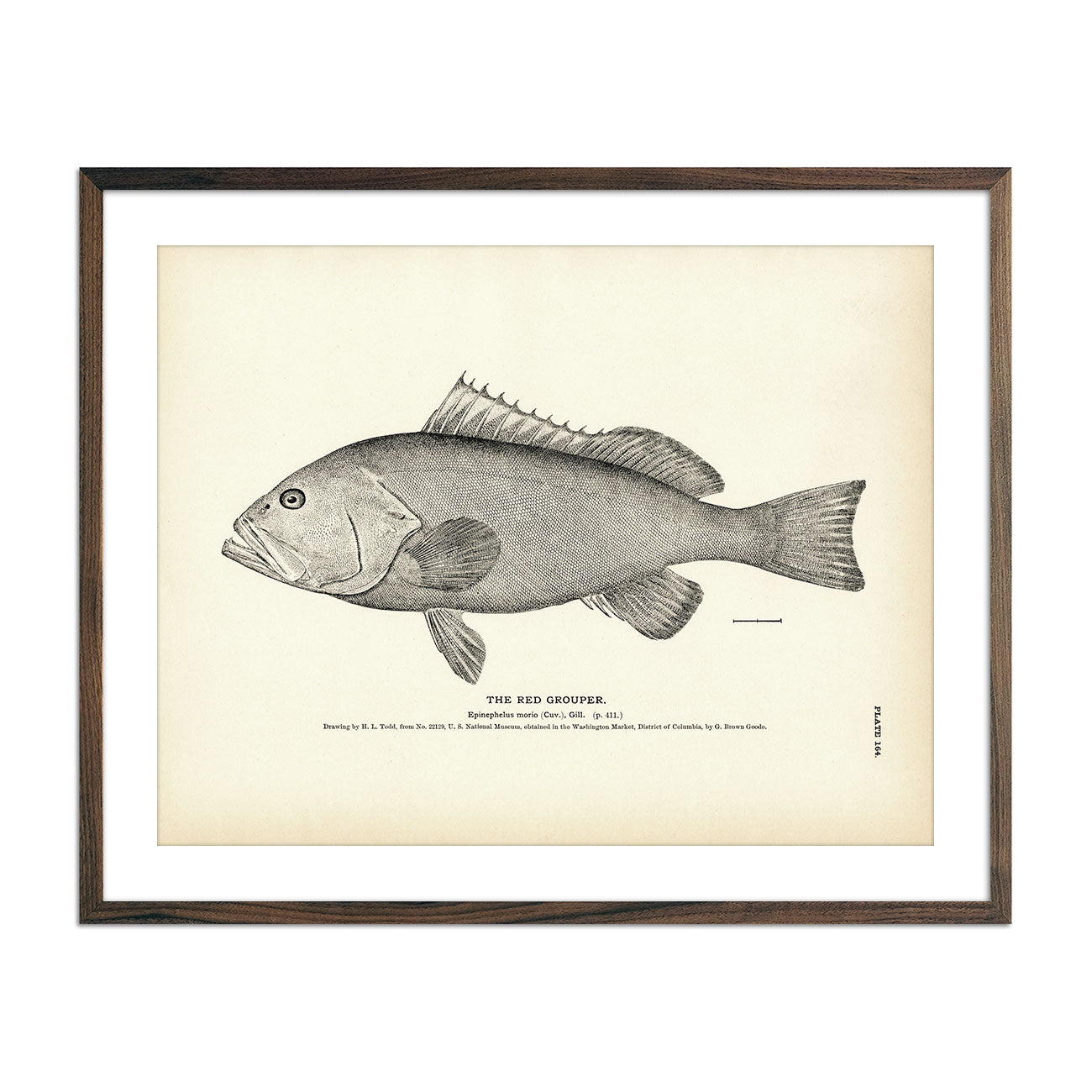
Red Grouper Art Print
Regular price
From
$ 35.00 USD
5.0 / 5.0
1 review
Spot (Goody) Art Print
Regular price
From
$ 35.00 USD
5.0 / 5.0
1 review
Alalonga (Long-Finned Tunny) Art Print
Regular price
From
$ 35.00 USD
Black-Banded Rockfish Art Print
Regular price
From
$ 35.00 USD
5.0 / 5.0
2 reviews
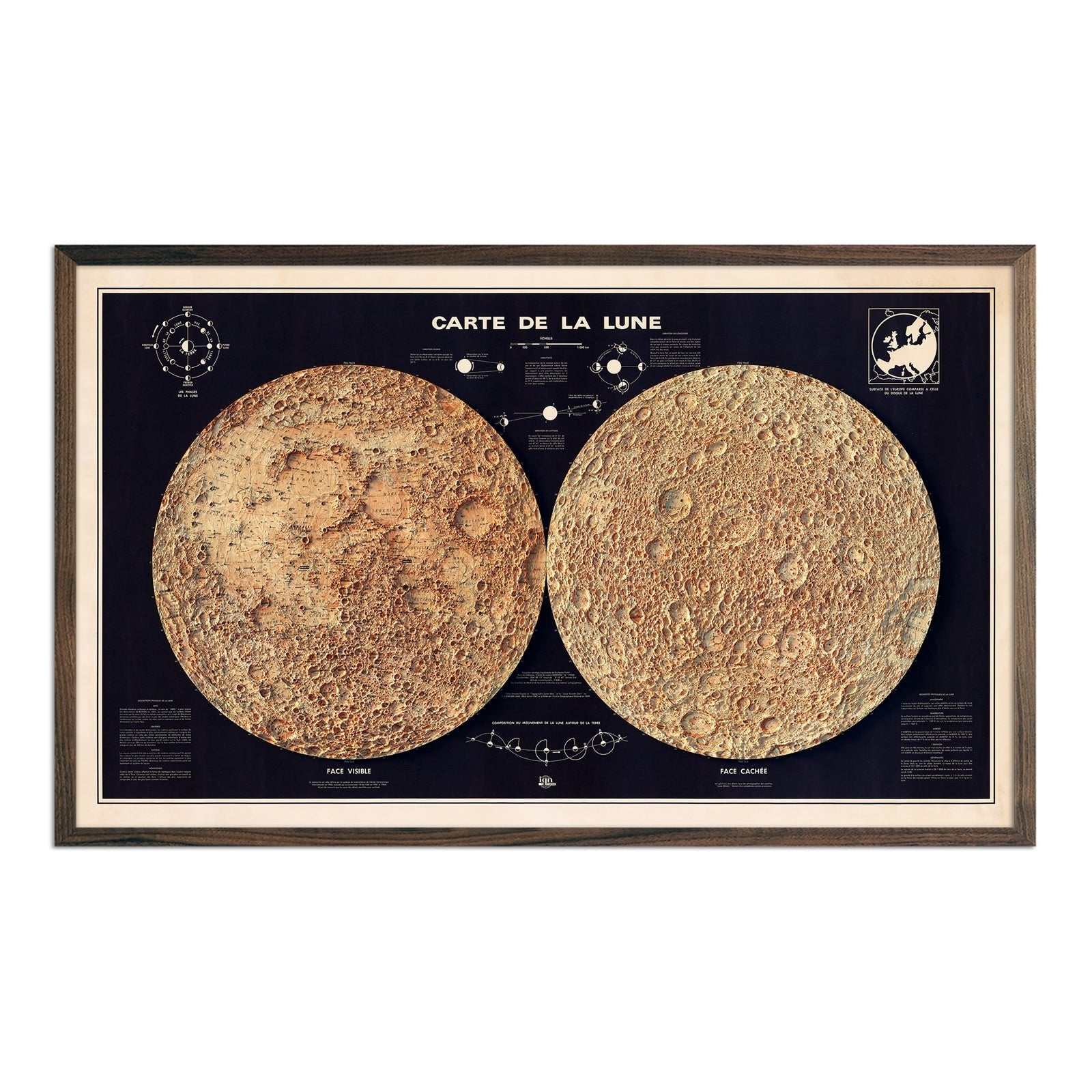
Carte de la Lune (Moon Map) 1969 Shaded Relief Map
Regular price
From
$ 69.00 USD
5.0 / 5.0
2 reviews
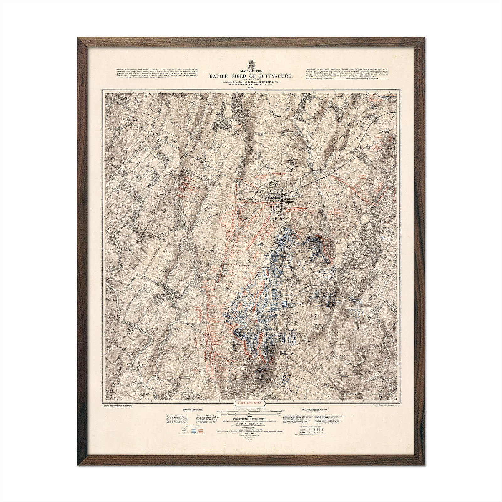
Gettysburg, July 2nd, 1863
Regular price
From
$ 64.00 USD
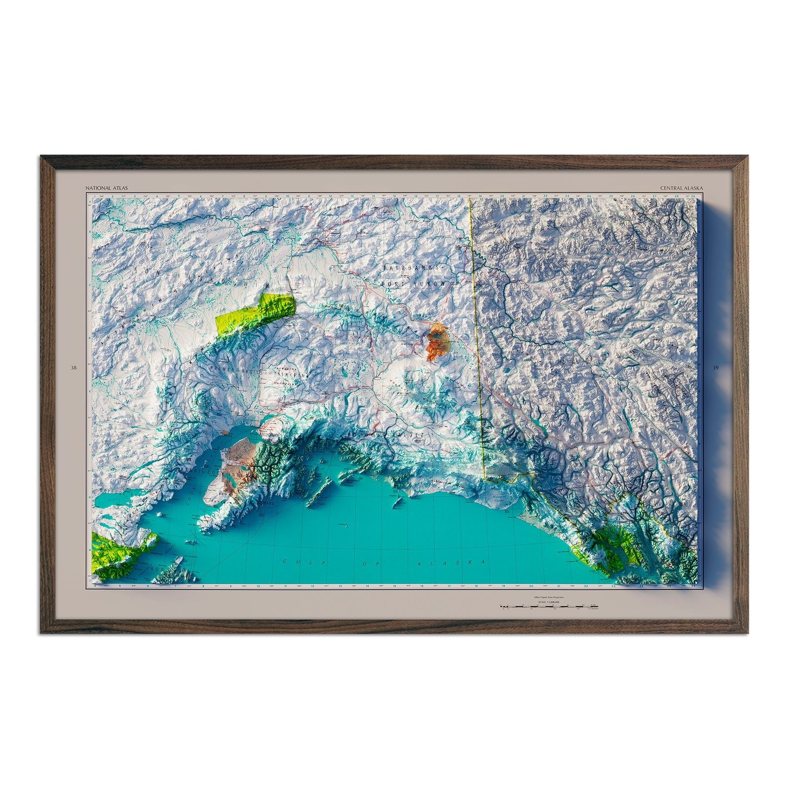
Central Alaska 1970 Shaded Relief Map
Regular price
From
$ 79.00 USD
4.5 / 5.0
2 reviews
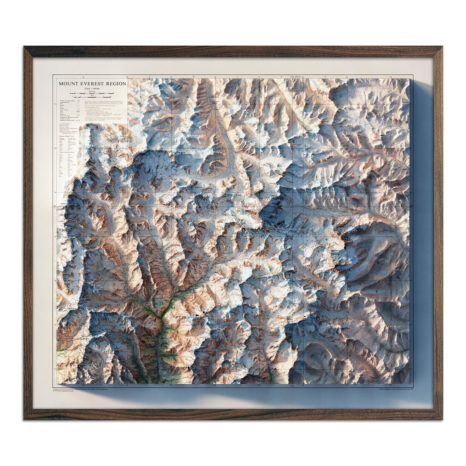
Mt. Everest Region 1975 Shaded Relief Map
Regular price
From
$ 99.00 USD
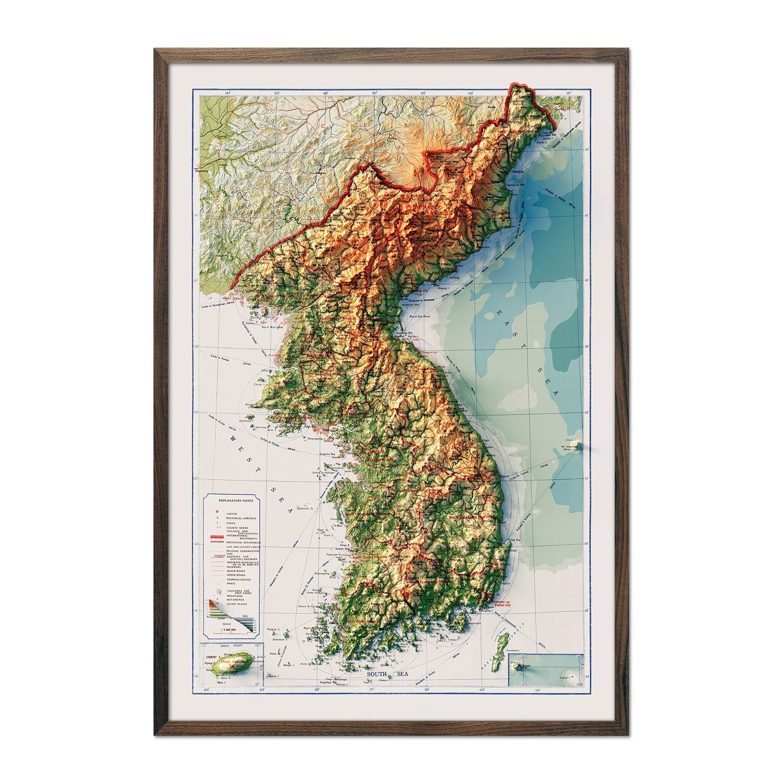
Korea Topographic 1966 Shaded Relief Map
Regular price
From
$ 89.00 USD
Jungfrau 1956 Shaded Relief Map
Regular price
From
$ 79.00 USD
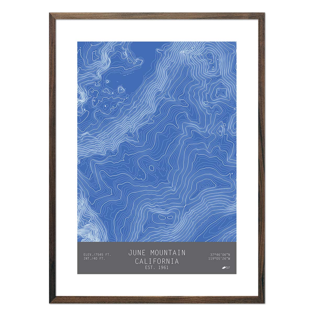
June Mountain, California
Regular price
From
$ 49.00 USD
Montana and Wyoming Territories Map 1872
Regular price
From
$ 99.00 USD
5.0 / 5.0
112 reviews
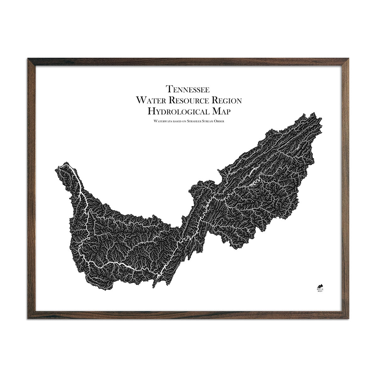
Tennessee Regional Hydrological Map
Regular price
From
$ 79.00 USD
5.0 / 5.0
1680 reviews
Full Moon 1850
Regular price
From
$ 64.00 USD
5.0 / 5.0
112 reviews
Mexico City Map 1886
Regular price
From
$ 79.00 USD
5.0 / 5.0
112 reviews
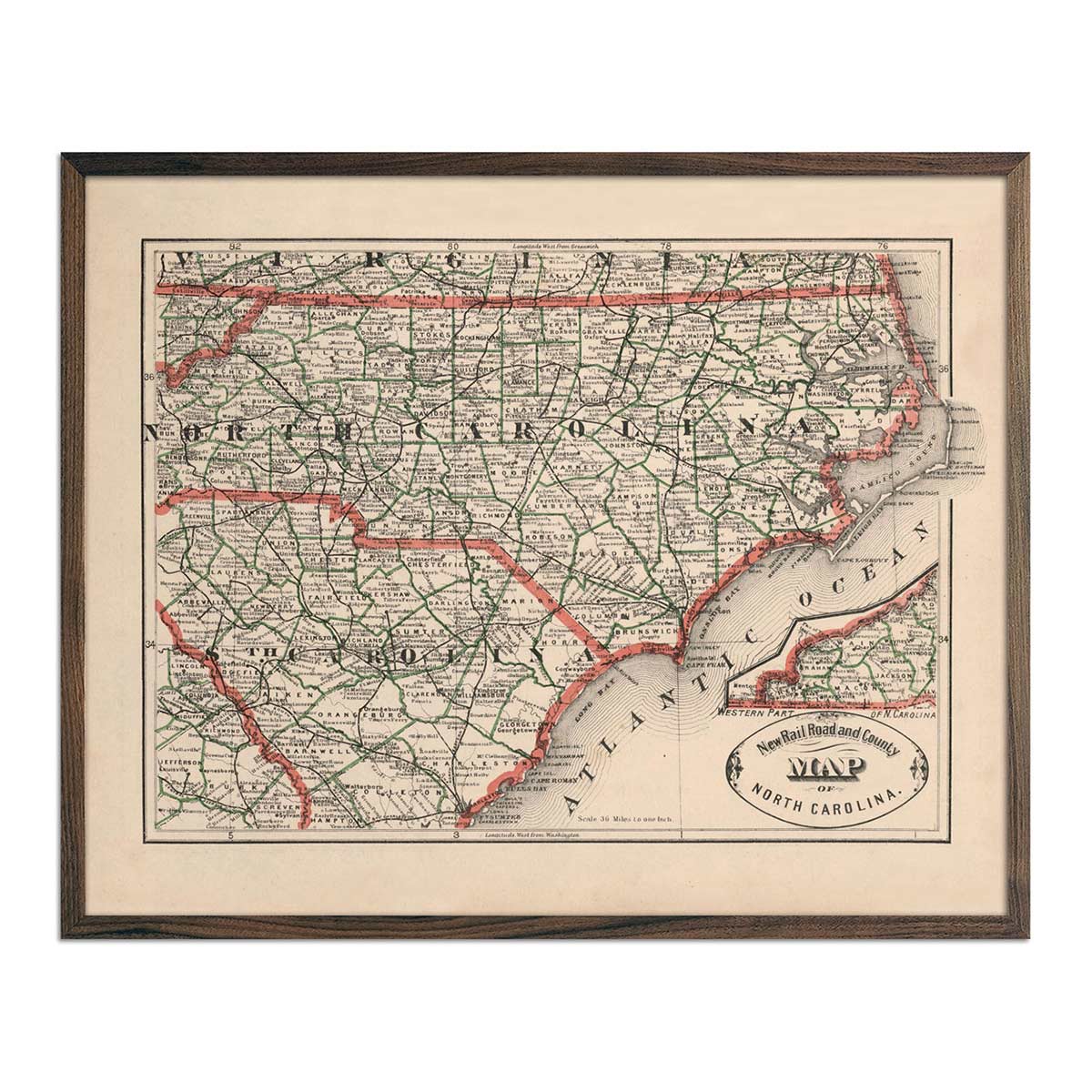
North Carolina 1883 Map
Regular price
From
$ 64.00 USD
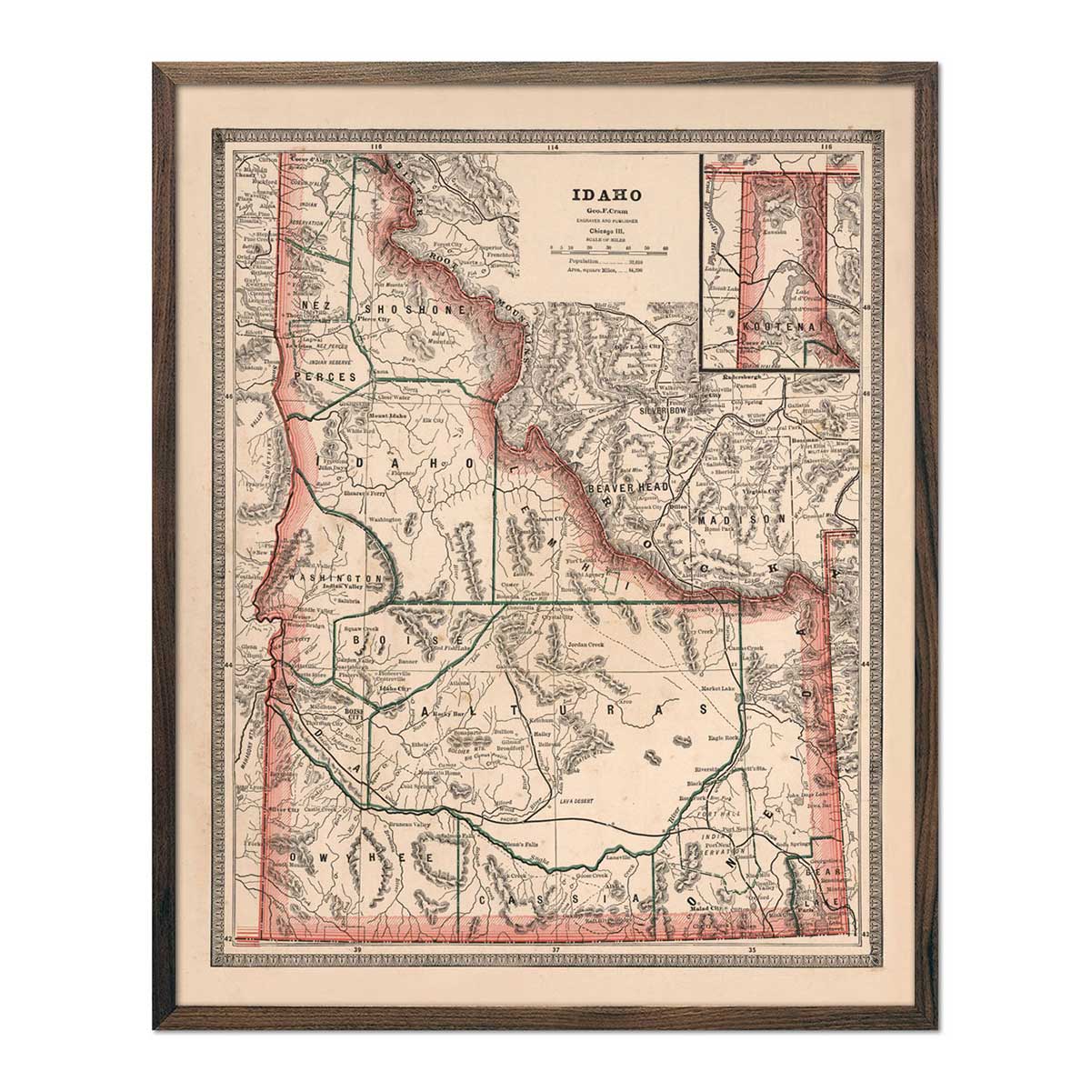
Idaho 1883 Map
Regular price
From
$ 64.00 USD
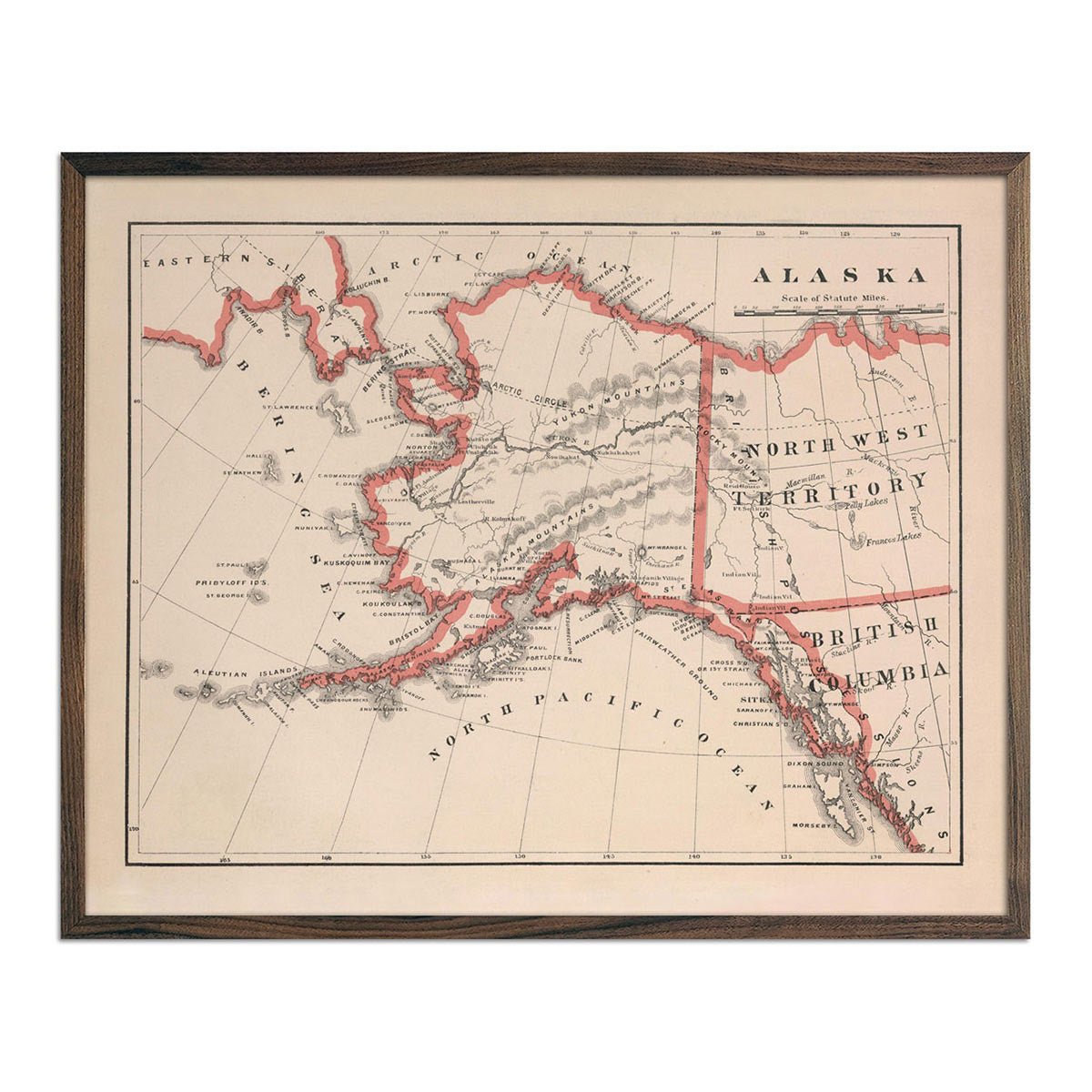
Alaska 1883 Map
Regular price
From
$ 64.00 USD
4.0 / 5.0
1 review
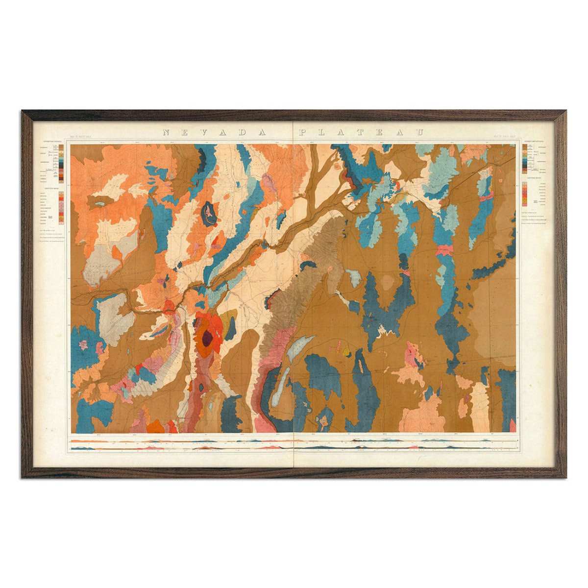
Nevada Plateau 1876 Geological Map
Regular price
From
$ 69.00 USD
5.0 / 5.0
4 reviews
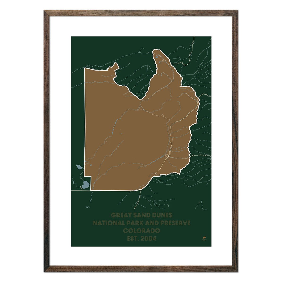
Great Sand Dunes National Park and Preserve Map
Regular price
From
$ 49.00 USD
5.0 / 5.0
288 reviews
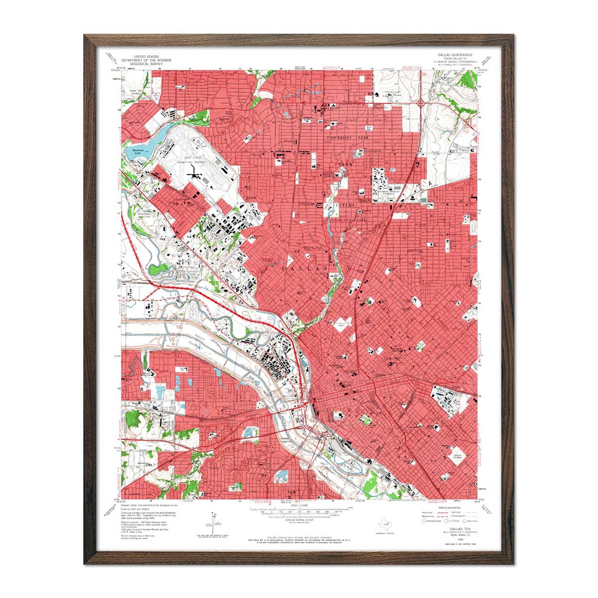
Dallas, TX 1958 USGS Map
Regular price
From
$ 64.00 USD
4.9 / 5.0
144 reviews
Pacific Rim National Park Reserve Map
Regular price
From
$ 49.00 USD
5.0 / 5.0
288 reviews
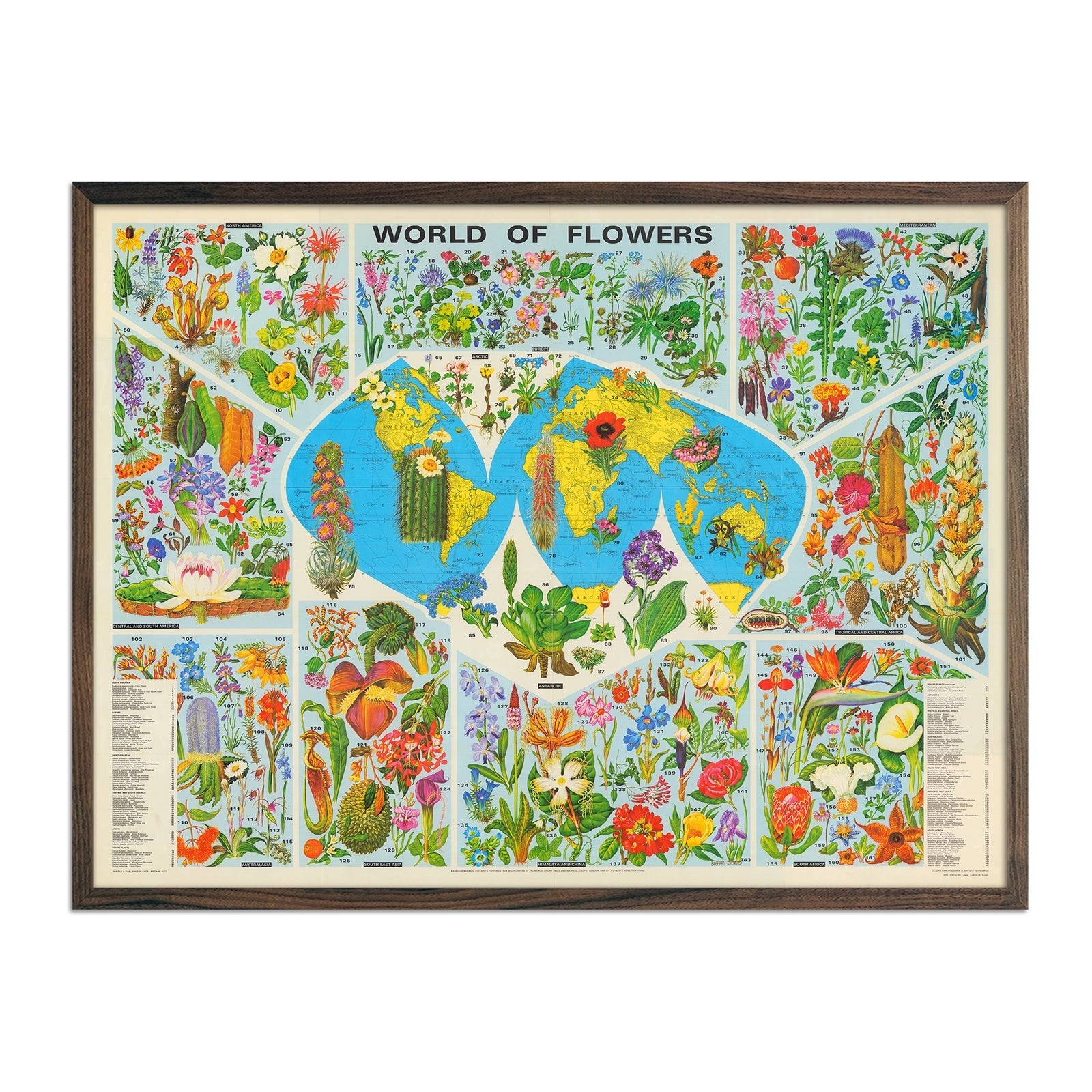
World of Flowers
Regular price
From
$ 79.00 USD
Palace Butte, Near Mount Blackmore, Yellowstone 1873
Regular price
From
$ 35.00 USD
4.7 / 5.0
12 reviews
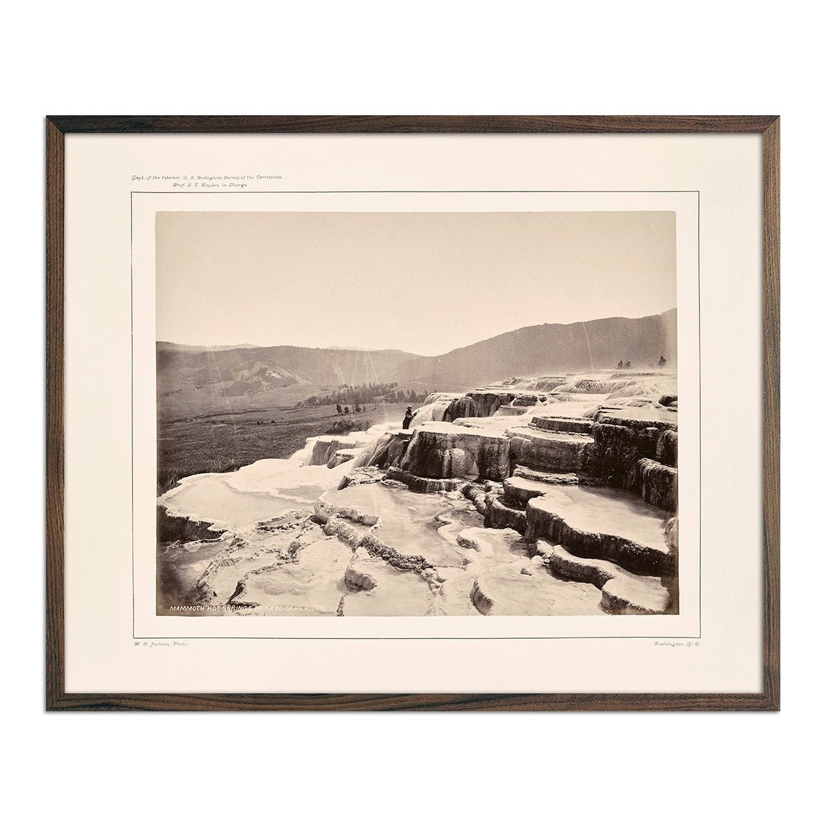
Mammoth Hot Springs on Gardiner's River with Man, Yellowstone 1873
Regular price
From
$ 35.00 USD
4.7 / 5.0
12 reviews
« Previous
·
1
…
17
18
19
20
21
…
31
·
Next »
Your cart
Close
Spend
$ 49.00 USD
more for
free shipping
!
Your order is eligible for free shipping!
You may also like
Previous
Next
The Lake Tahoe Tumbler
Regular price
$ 59.00 USD
Add to cart
Close
Your cart is empty
Start shopping