Skip to content
Facebook
Instagram
Pinterest
FREE SHIPPING ON ORDERS OVER $49
Country/Region
United States (USD $)
United States (USD $)
Best Sellers
3D "Factory Seconds" Sale
Shop by Region
Shop by Type
Historical Prints
Home Goods
About Us
Search for your map
Account
Cart
Popular Collections
Best Sellers
Shop by Region
Maps of USA
State Maps
International Maps
National Park Maps
Shop by Type
3D RAISED Relief Maps
Hydrological Maps
Custom Wood Carved Map
Regular price
From
$ 300.00 USD
5.0 / 5.0
3 reviews
Vintage Shaded Relief Maps
Elevation Maps
Natural Atlas
TOPO Series
National Parks Series
Shaded Relief Series
Range Series
Digital Gift Card
Regular price
From
$ 20.00 USD
5.0 / 5.0
5 reviews
Walnut Frames "Factory Seconds"
Historical Prints
1884 Fish Drawings
1875 Zoology Lithographs
1868 Yosemite Photographs
1873 Yellowstone Photographs
1874 Moon Photography
Astronomy
Civil War Maps
Historical Nautical Charts
Vintage Maps - Misc
USGS Quadrant Maps
1876 State Map Collection
1876 Geologic & Topographic
1883 US State Maps
1904 Yellowstone Maps
1906 Hawaiian Islands Maps
Apparel/Home Goods
Glasses
Books
Tees
Hats
Blankets
Walnut Frame for 3D Raised Relief Map
Regular price
From
$ 220.00 USD
5.0 / 5.0
1 review
About Us
Our Story
Reviews
FAQs
Shipping and Returns
Contact Us
Best Sellers
3D "Factory Seconds" Sale
Shop by Region
USA Maps
State Maps
International Maps
National Park Maps
Shop by Type
Collections
3D RAISED Relief
2D Vintage Shaded Relief
Hydrology Series
Custom Maps
Golf Courses - 3D Wood
2D Elevation Relief
Natural Atlas Maps
TOPO Series
National Park Series
2D Shaded Relief
Mountain Range
Gift Cards
Walnut Frames
3D RAISED Relief Maps
Hydrological Maps
3D Raised Relief
Historical Prints
Illustrations and Photographs
1884 Fish Drawings
1875 Zoology Drawings
1868 Yosemite Photos
1873 Yellowstone Photos
1874 Moon Photos
Historical Maps
Astronomy
Civil War Maps
Nautical Maps
Assorted Vintage
USGS Quadrant Maps
1876 State Maps
1876 Geologic/Topographic
1883 State Maps
1904 Yellowstone Maps
1906 Hawaii Maps
1884 Fish Drawings
Civil War Maps
Astronomy
Astronomy
Home Goods
Mountain Glasses
Field Guides
Books
Tees
Hats
Topo Blankets
Walnut Frames
Mountain Glasses
Tees
Books
About Us
Our Story
Reviews
FAQs
Shipping and Returns
Contact Us
All Muir Way Maps
Filter
Sort by
Best selling
Most relevant
Best selling
Alphabetically, A-Z
Alphabetically, Z-A
Date, old to new
Date, new to old
Filters
Sort by
Most relevant
Best selling
Alphabetically, A-Z
Alphabetically, Z-A
Date, old to new
Date, new to old
Apply
Baja California Elevation Map
Regular price
From
$ 79.00 USD
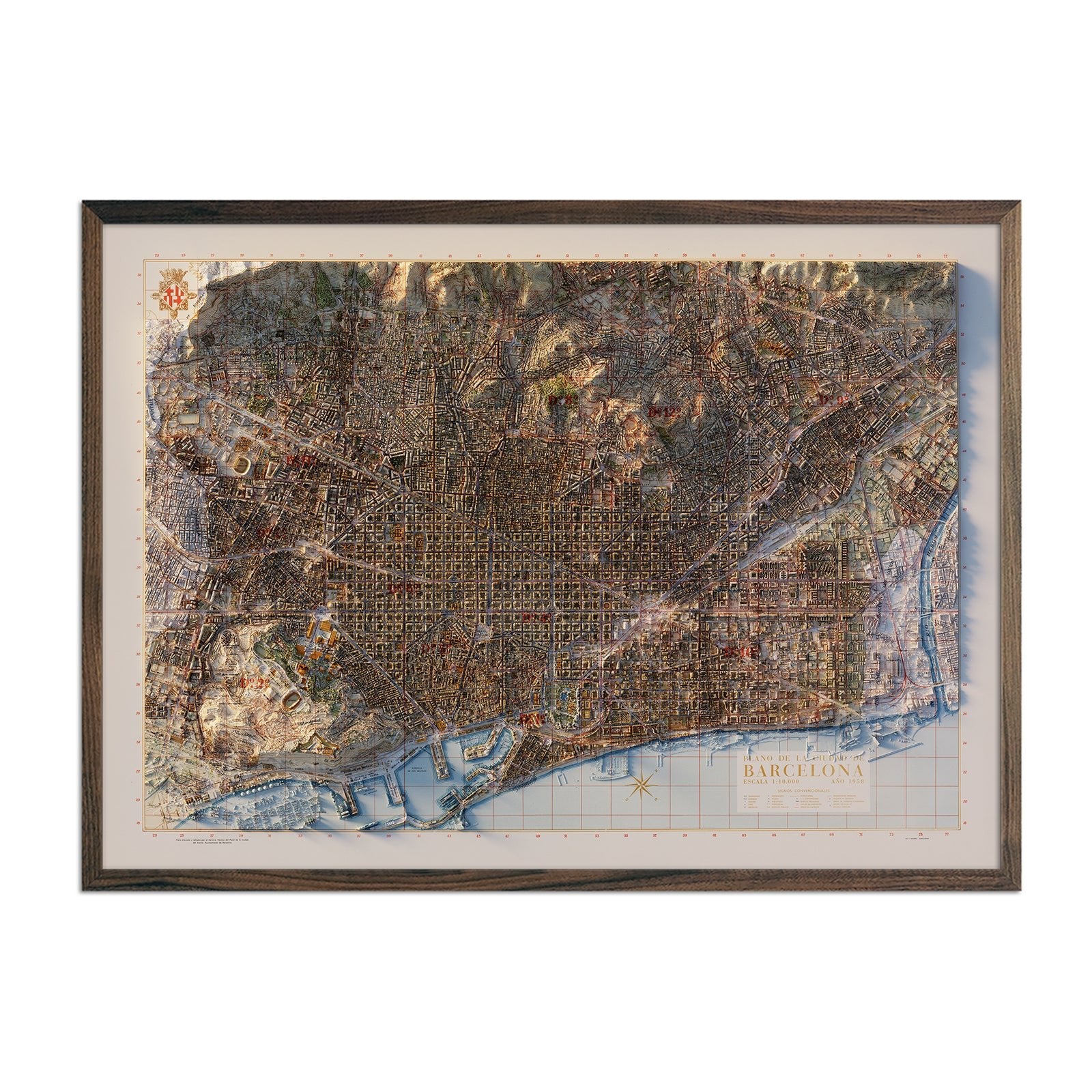
Barcelona 1958 Shaded Relief Map
Regular price
From
$ 79.00 USD
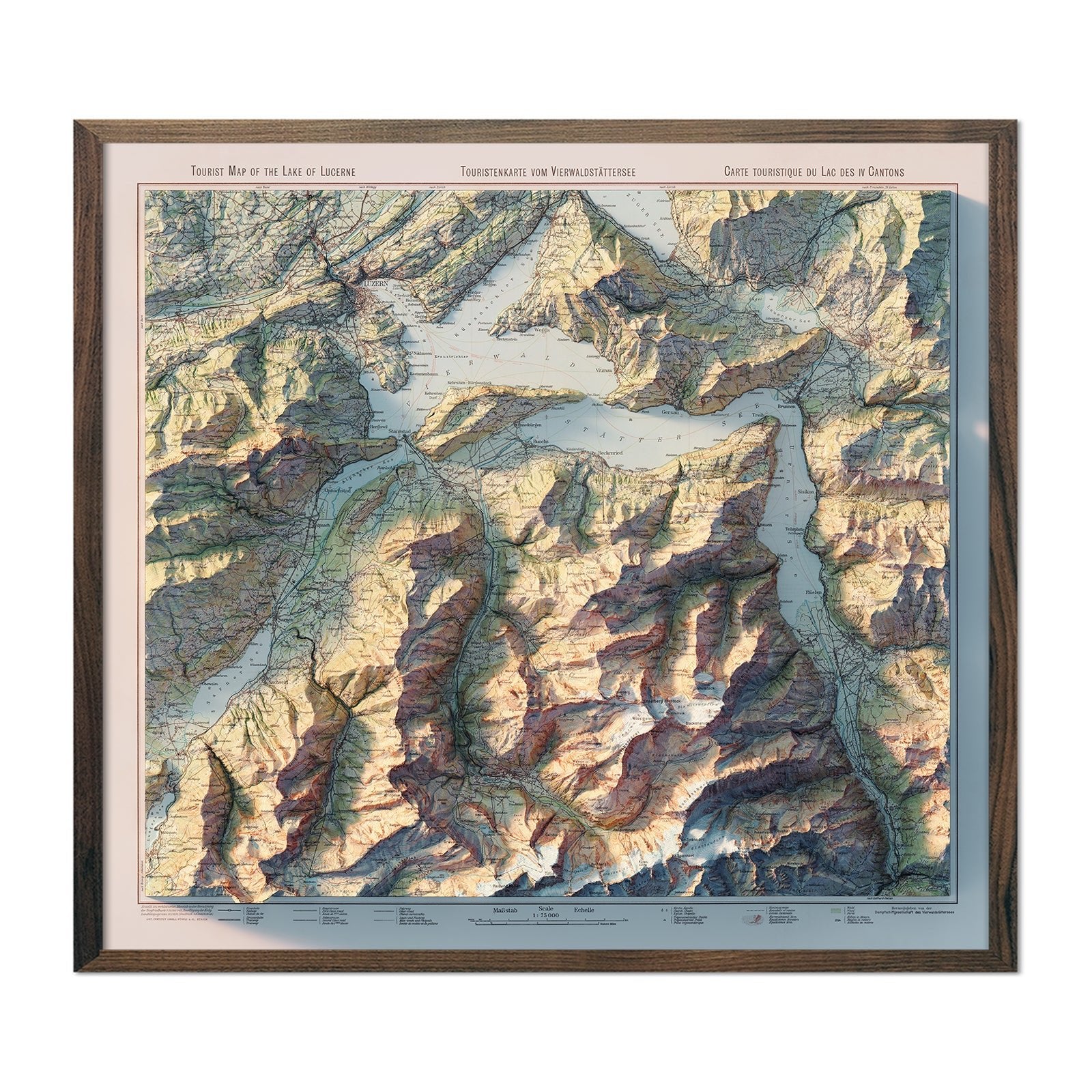
Lake Lucerne 1948 Shaded Relief Map
Regular price
From
$ 89.00 USD
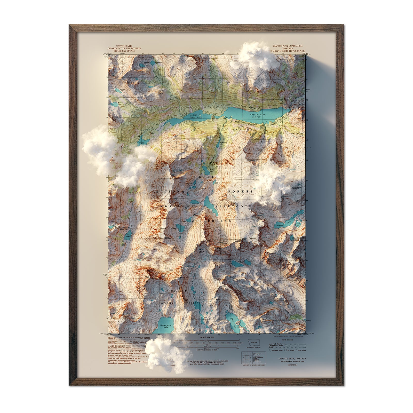
Granite Peak, Montana 1986 Shaded Relief Map
Regular price
From
$ 79.00 USD
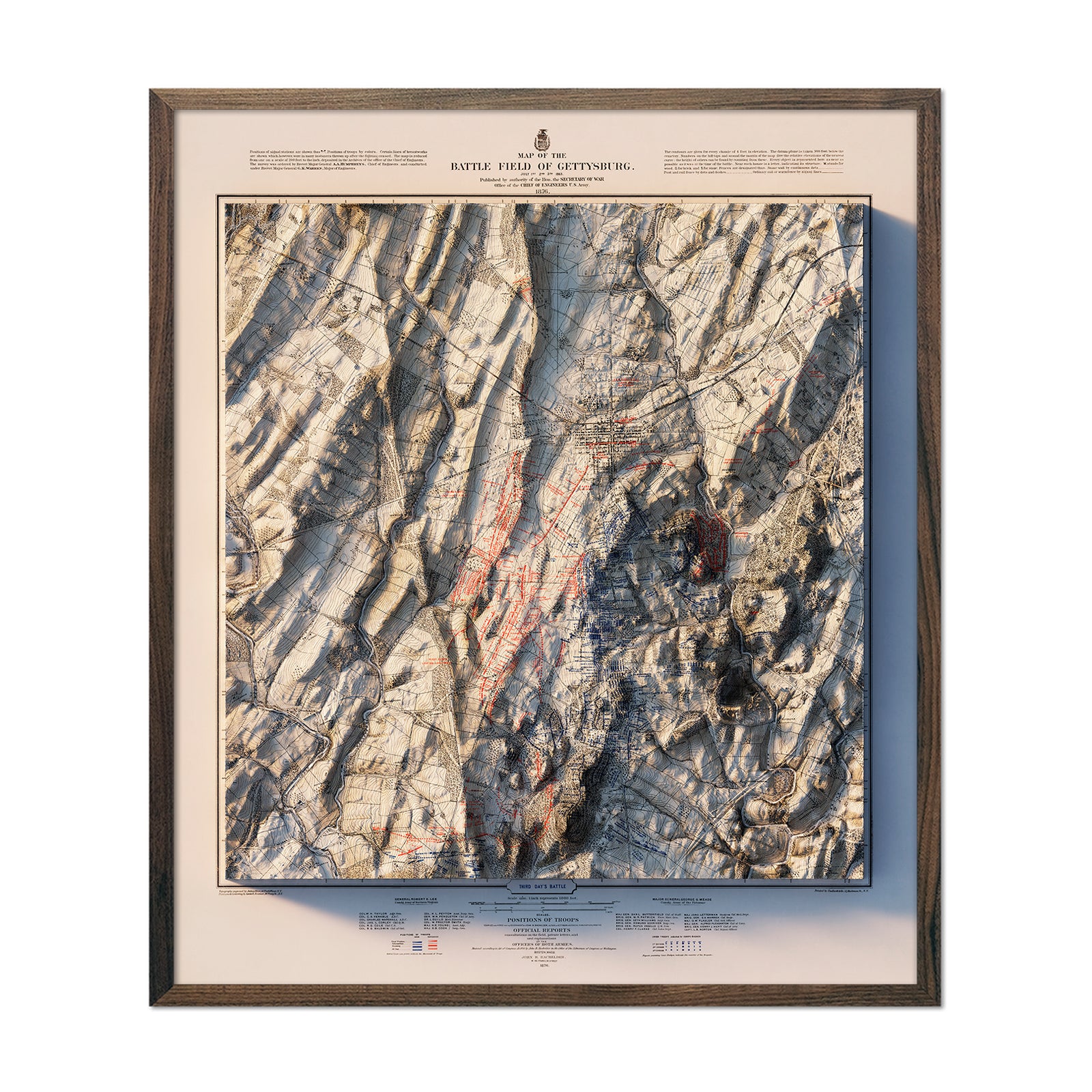
Gettysburg 3rd Day 1876 Shaded Relief Map
Regular price
From
$ 99.00 USD
5.0 / 5.0
1 review
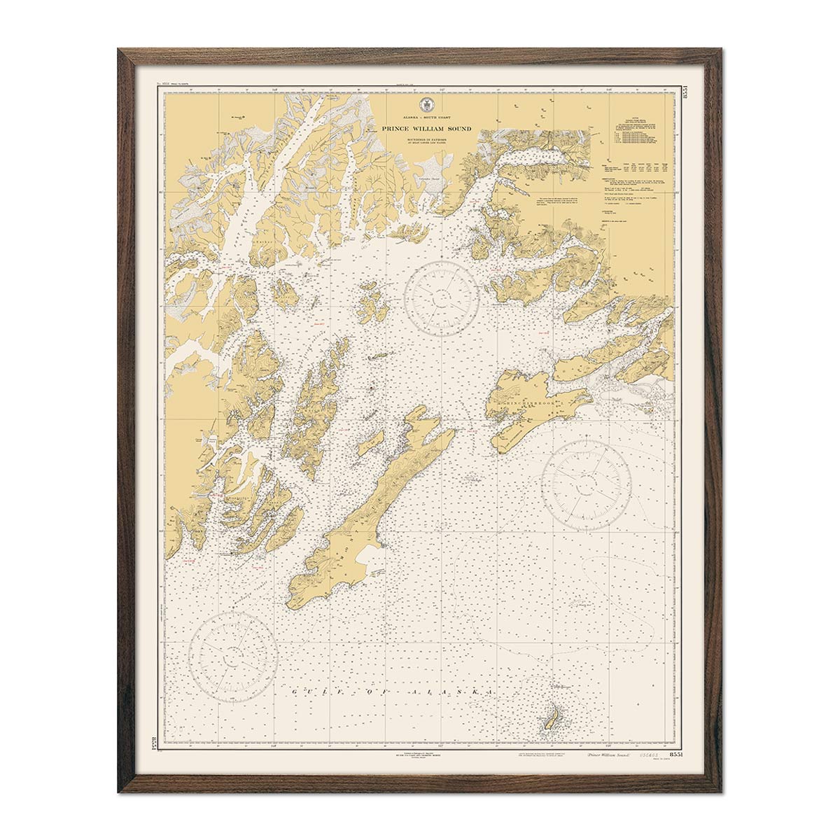
Prince William Sound Nautical Chart 1935
Regular price
From
$ 64.00 USD
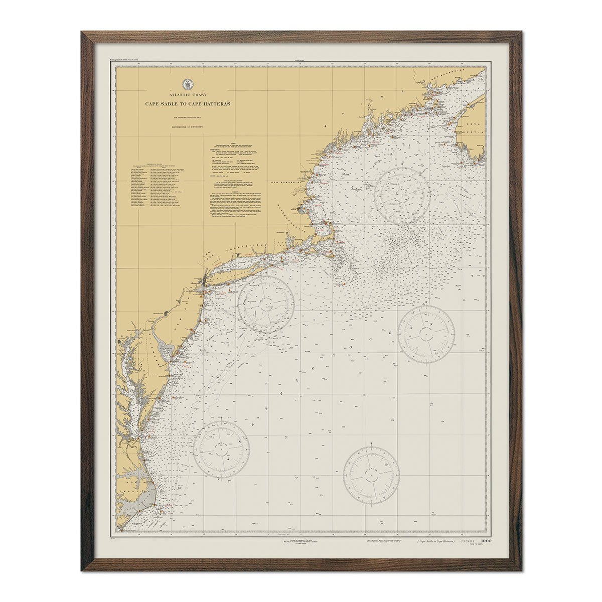
Cape Sable to Cape Hatteras Nautical Chart 1934
Regular price
From
$ 64.00 USD
5.0 / 5.0
1 review
Wrangell-St. Elias, Alaska 1960 Shaded Relief Map
Regular price
From
$ 79.00 USD
Big Sky, Montana 1989 Shaded Relief Map
Regular price
From
$ 79.00 USD
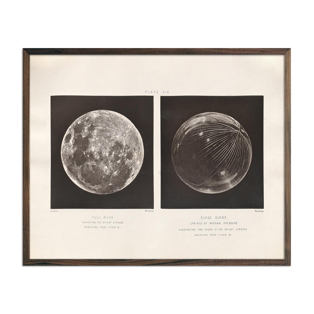
1874 Full Moon and Glass Globe Print
Regular price
From
$ 64.00 USD
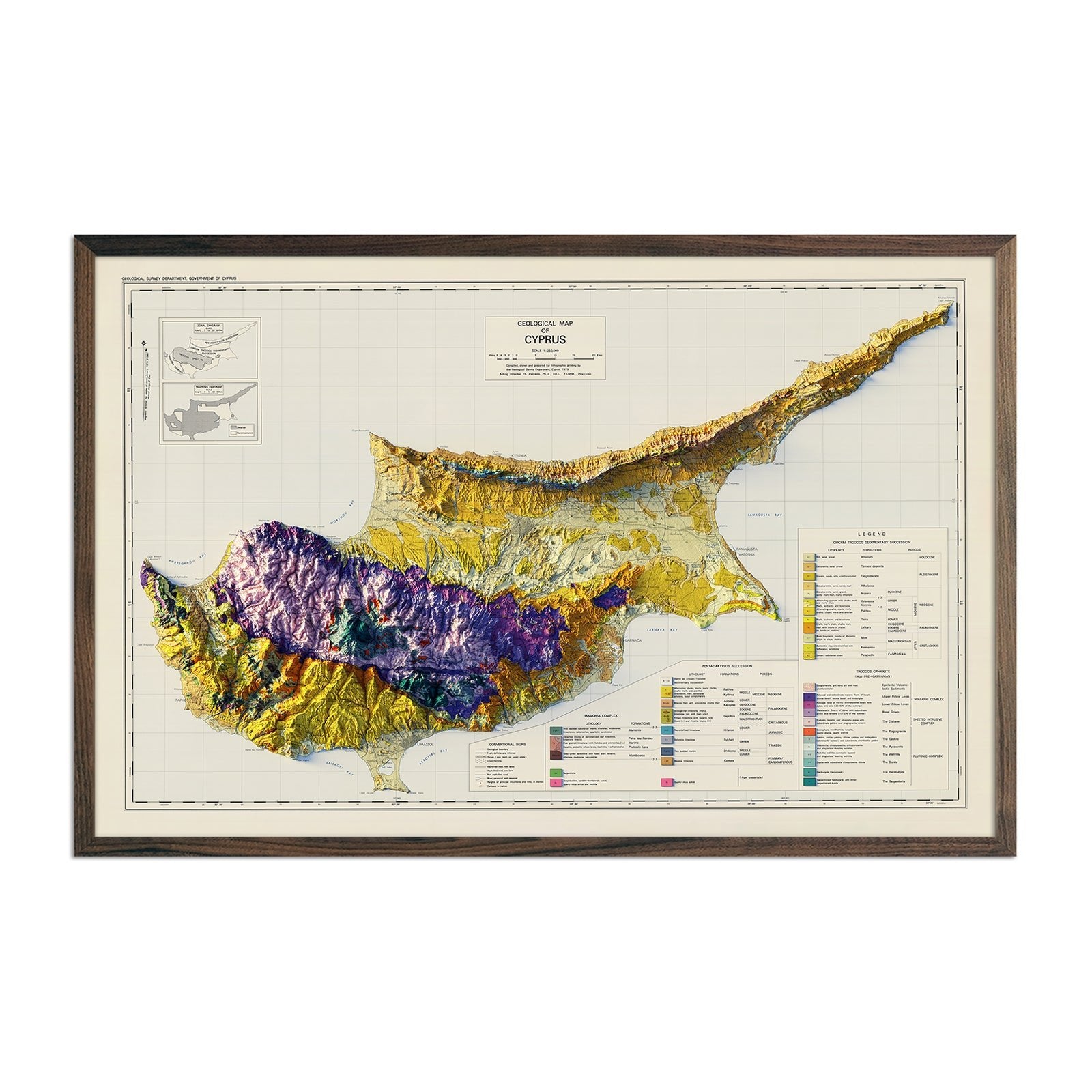
Cyprus 1979 Shaded Relief Map
Regular price
From
$ 85.00 USD
5.0 / 5.0
1 review
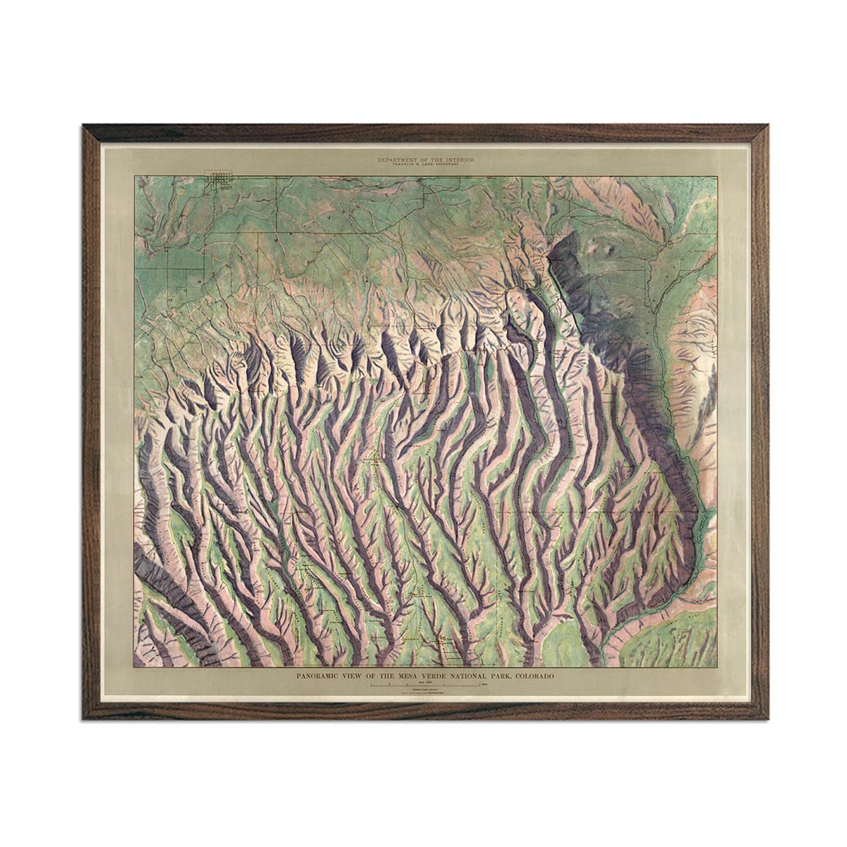
Mesa Verde National Park Map 1914
Regular price
From
$ 79.00 USD
5.0 / 5.0
112 reviews
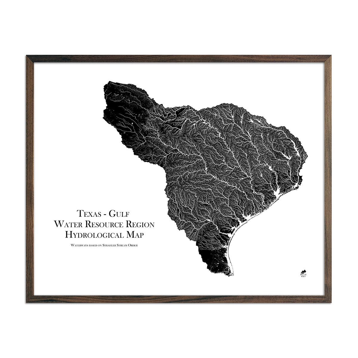
Texas-Gulf Regional Hydrological Map
Regular price
From
$ 79.00 USD
5.0 / 5.0
1680 reviews
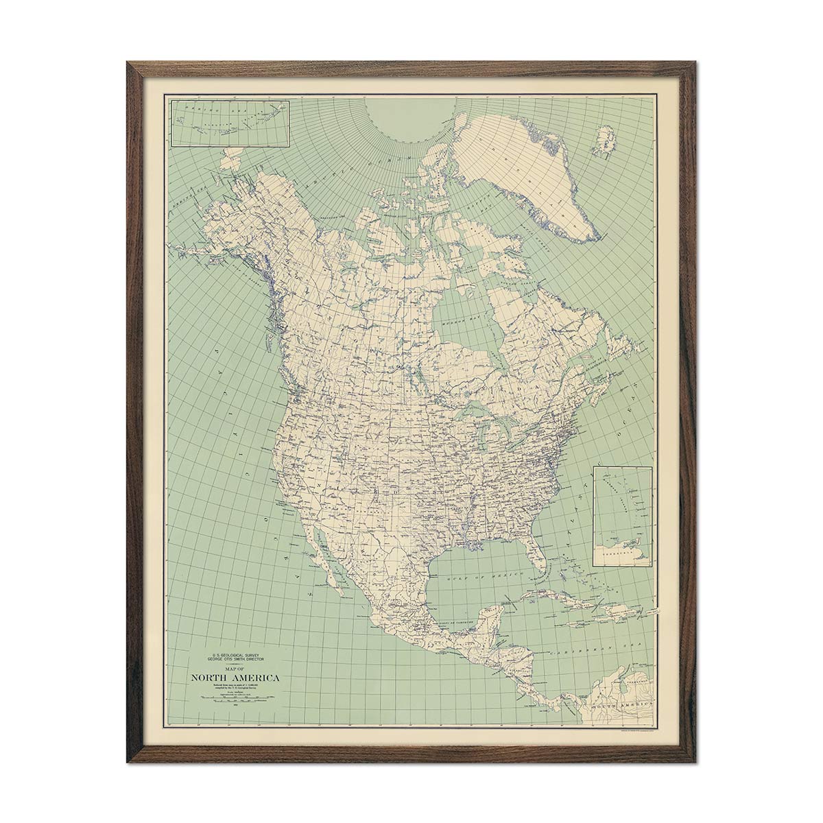
North America 1912 USGS Map Natural
Regular price
From
$ 64.00 USD
5.0 / 5.0
112 reviews
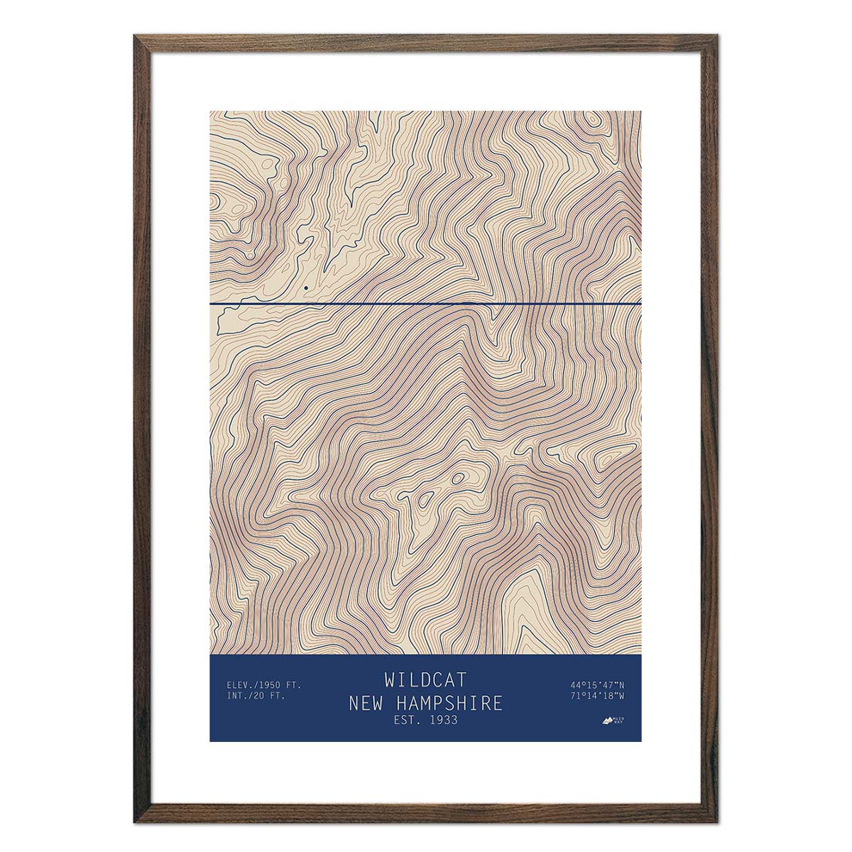
Wildcat, New Hampshire
Regular price
From
$ 49.00 USD
5.0 / 5.0
2 reviews
Snowbasin, Utah
Regular price
From
$ 49.00 USD
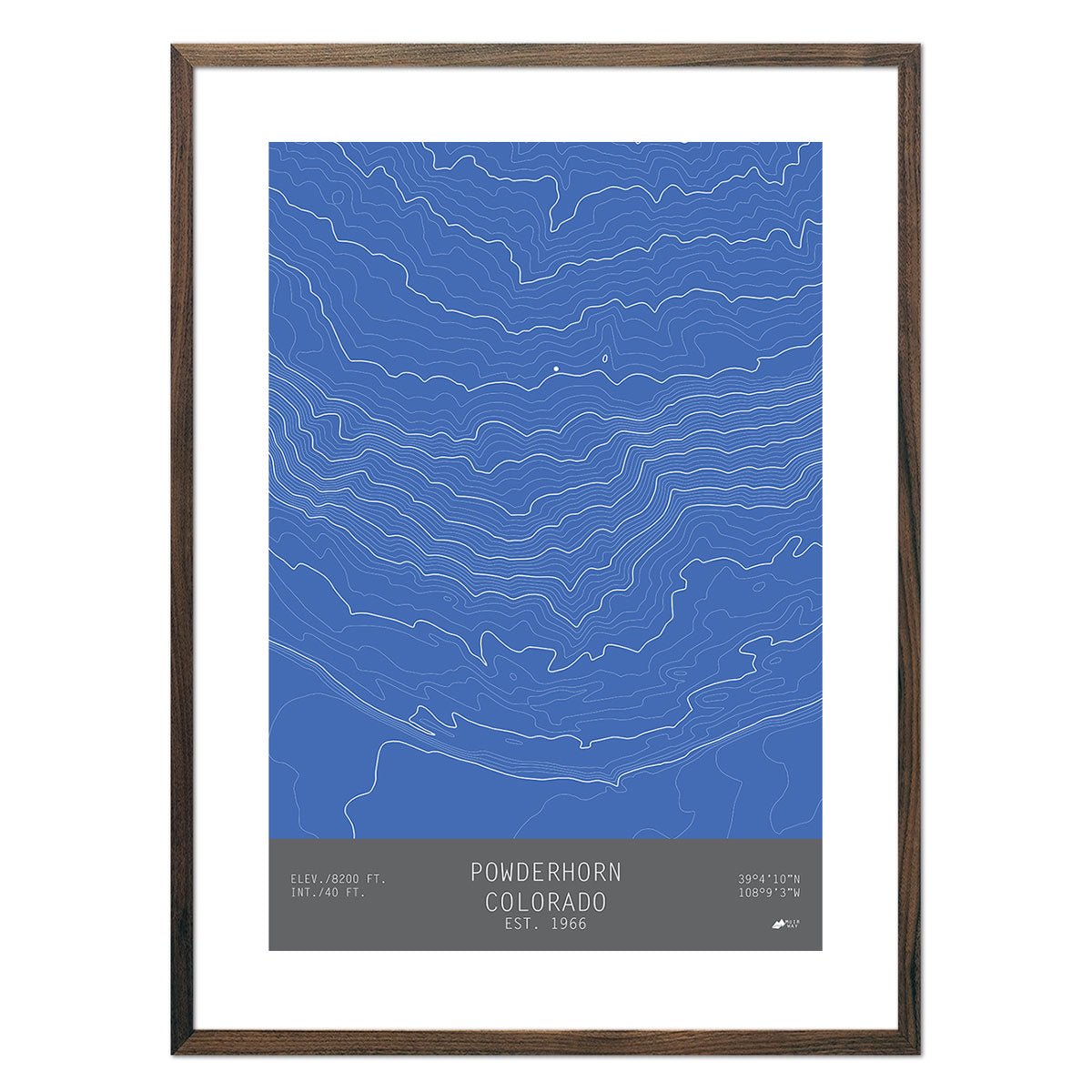
Powderhorn, Colorado
Regular price
From
$ 49.00 USD
Arches National Park 1959 USGS Map
Regular price
From
$ 64.00 USD
4.9 / 5.0
144 reviews
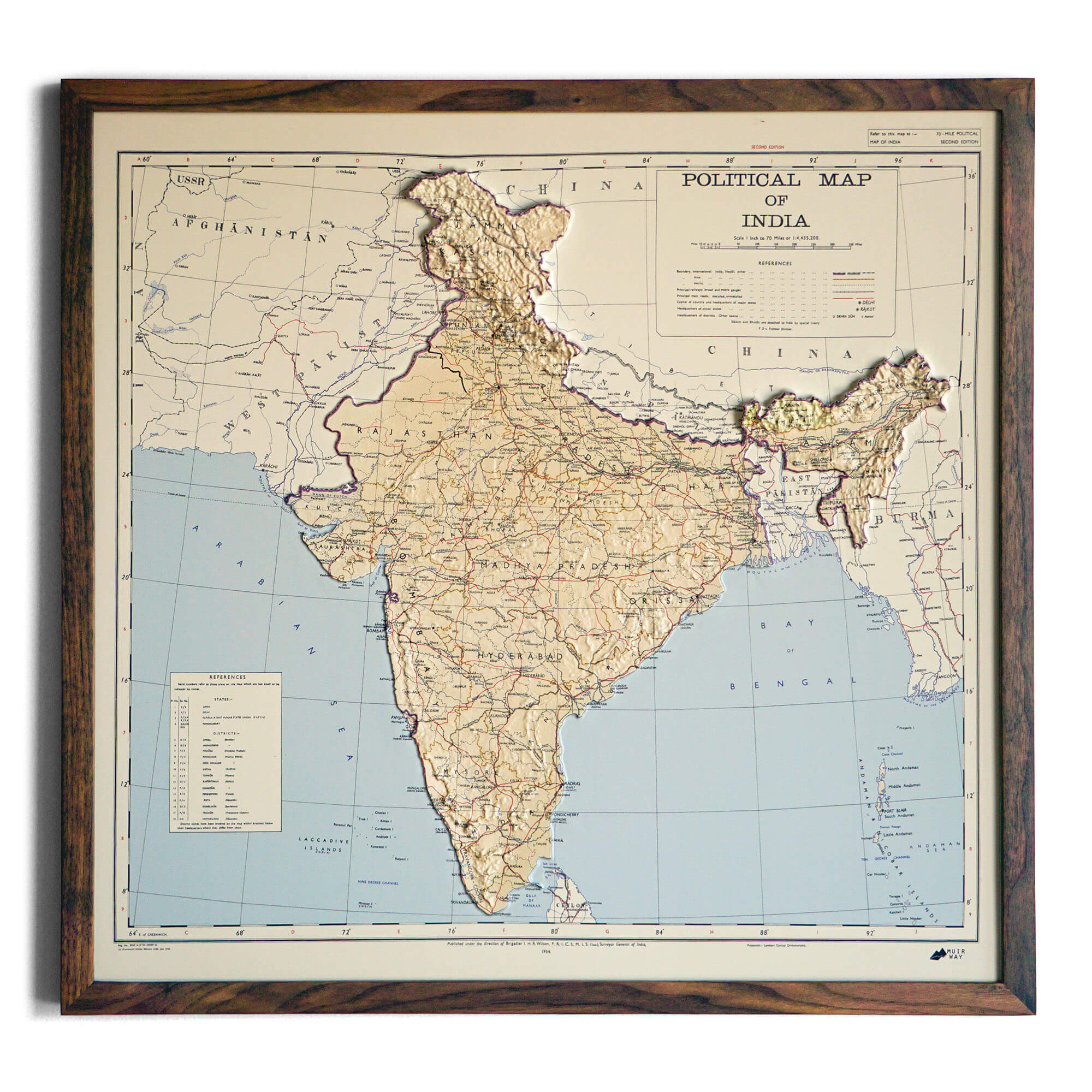
India 1954 3D Raised Relief Map
Regular price
From
$ 170.00 USD
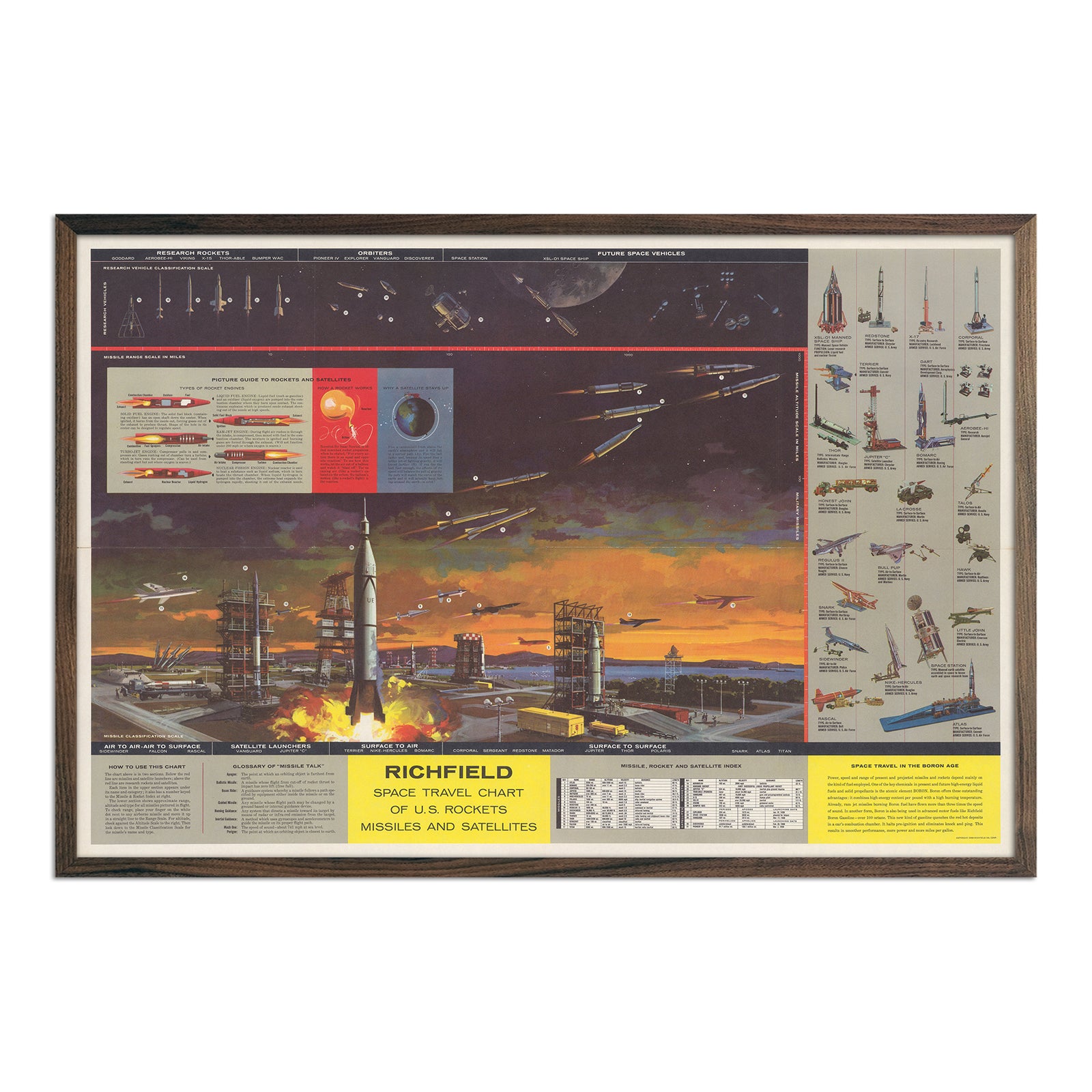
Richfield Space Travel Chart of U.S. Rockets Missiles And Satellites
Regular price
From
$ 69.00 USD
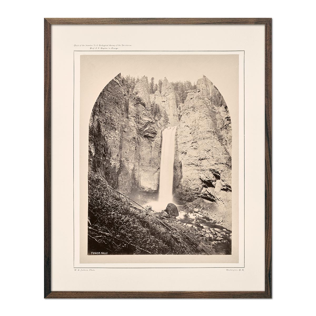
Tower Falls, Yellowstone 1873
Regular price
From
$ 35.00 USD
4.7 / 5.0
12 reviews
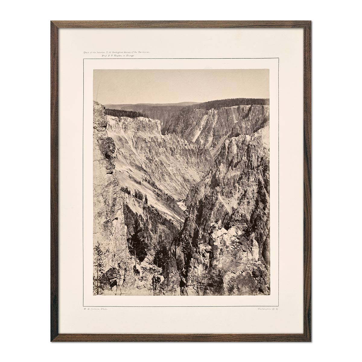
The Grand Canyon, One Mile Below the Falls, Yellowstone 1873
Regular price
From
$ 35.00 USD
4.7 / 5.0
12 reviews
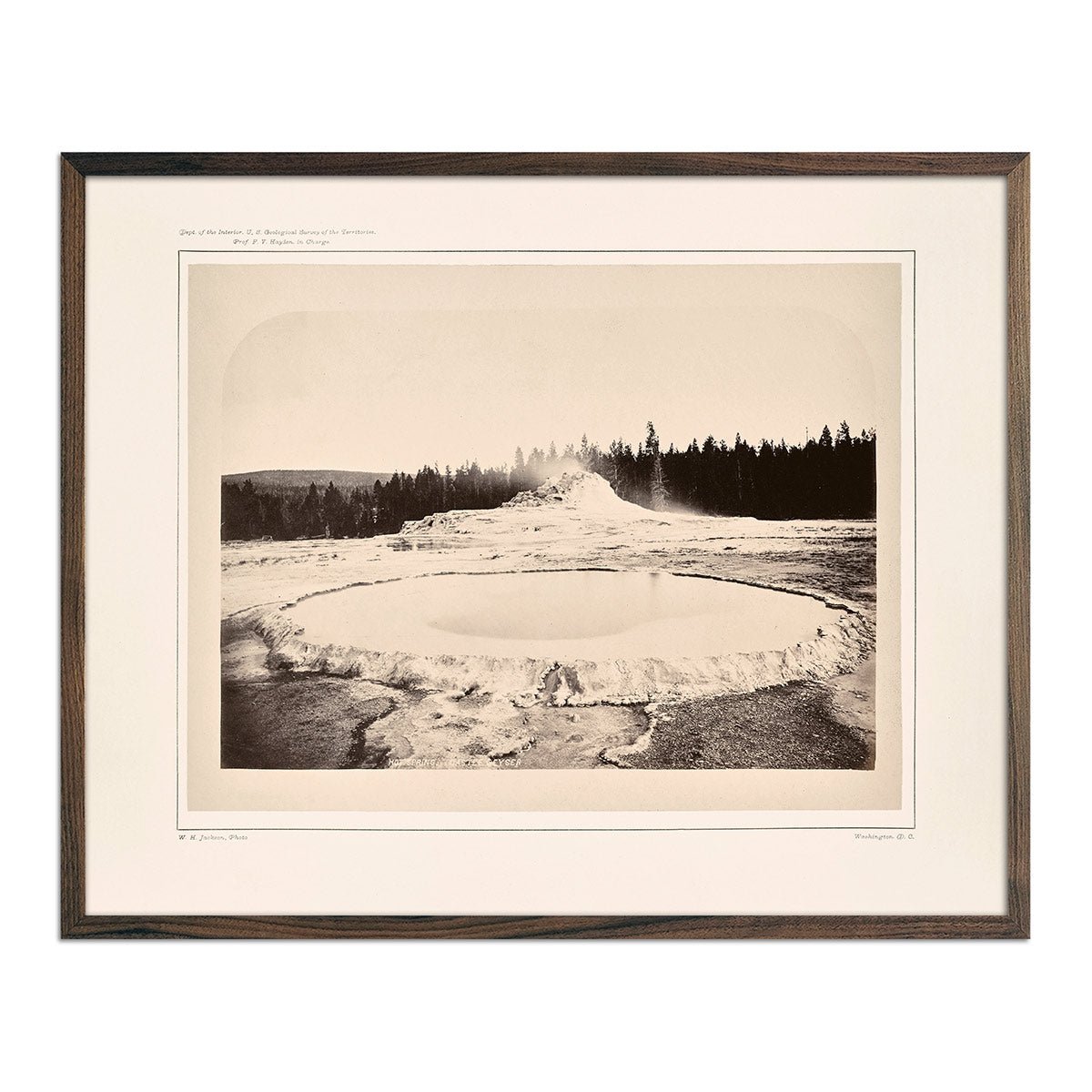
Hot Spring and Castle Geyser, Yellowstone 1873
Regular price
From
$ 35.00 USD
4.7 / 5.0
12 reviews
North Dome, Yosemite 1868
Regular price
From
$ 35.00 USD
4.7 / 5.0
19 reviews
Red-Backed Junco-Male Art Print
Regular price
From
$ 35.00 USD
5.0 / 5.0
25 reviews
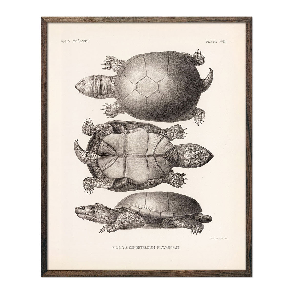
Yellow Mud Turtle Art Print
Regular price
From
$ 35.00 USD
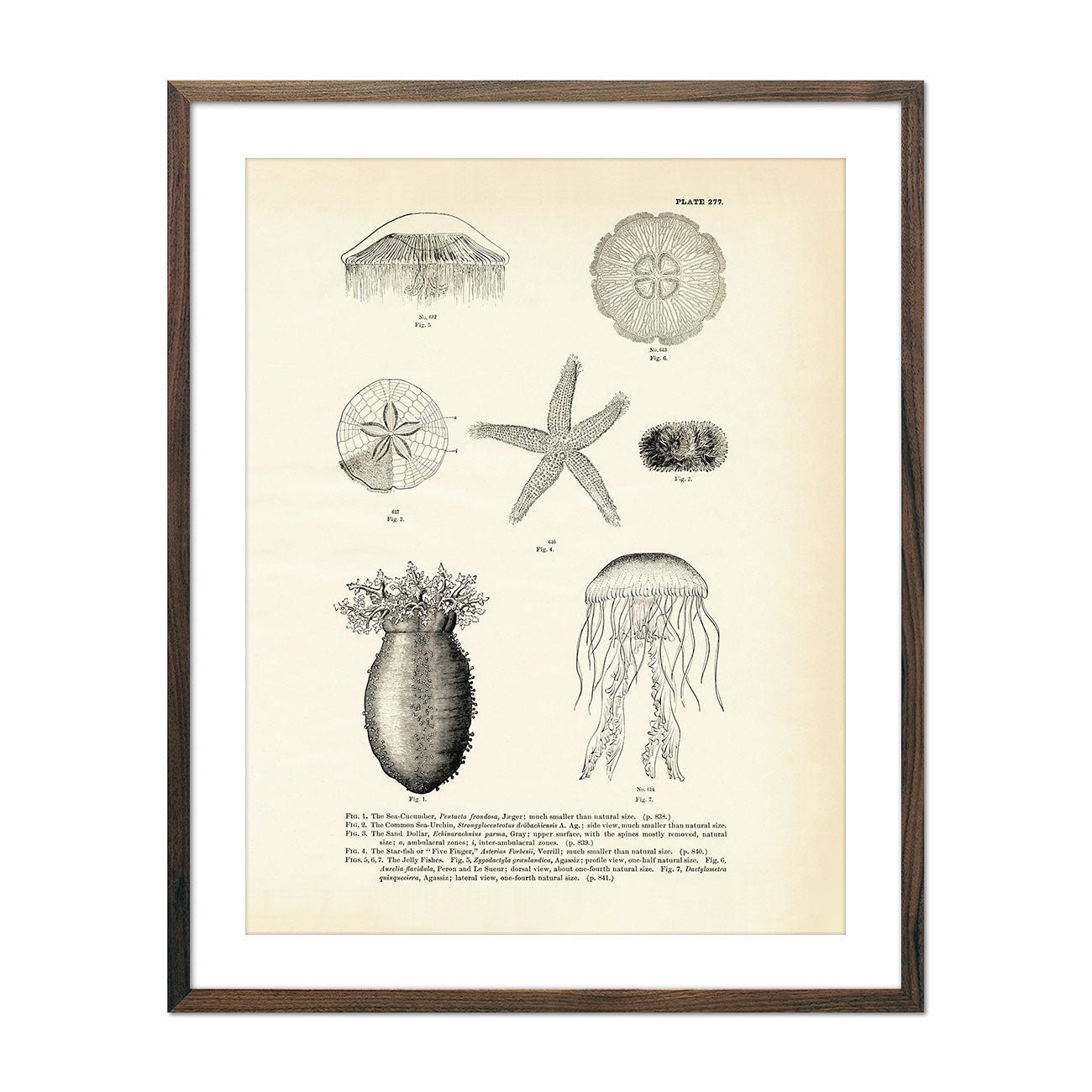
Various Sea Creatures - Set 2 Art Print
Regular price
From
$ 35.00 USD
Green Crab Art Print
Regular price
From
$ 35.00 USD
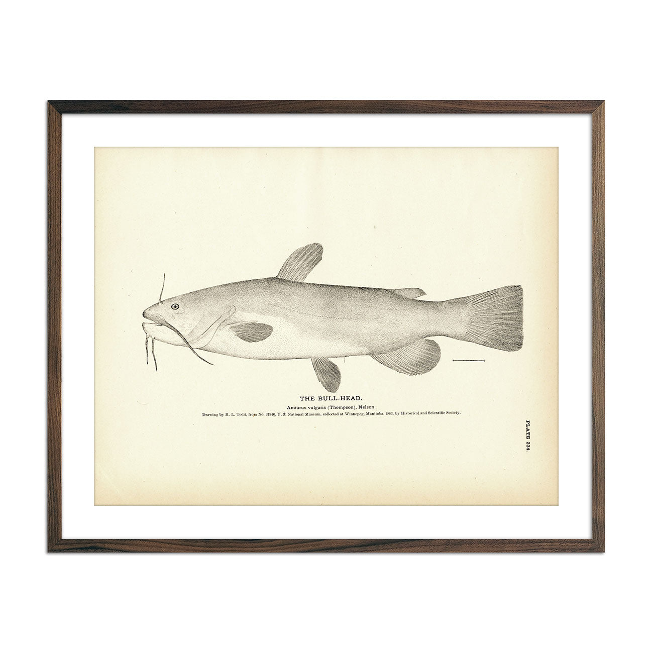
Bull-Head Art Print
Regular price
From
$ 35.00 USD
Gold Fish Art Print
Regular price
From
$ 35.00 USD
4.0 / 5.0
1 review
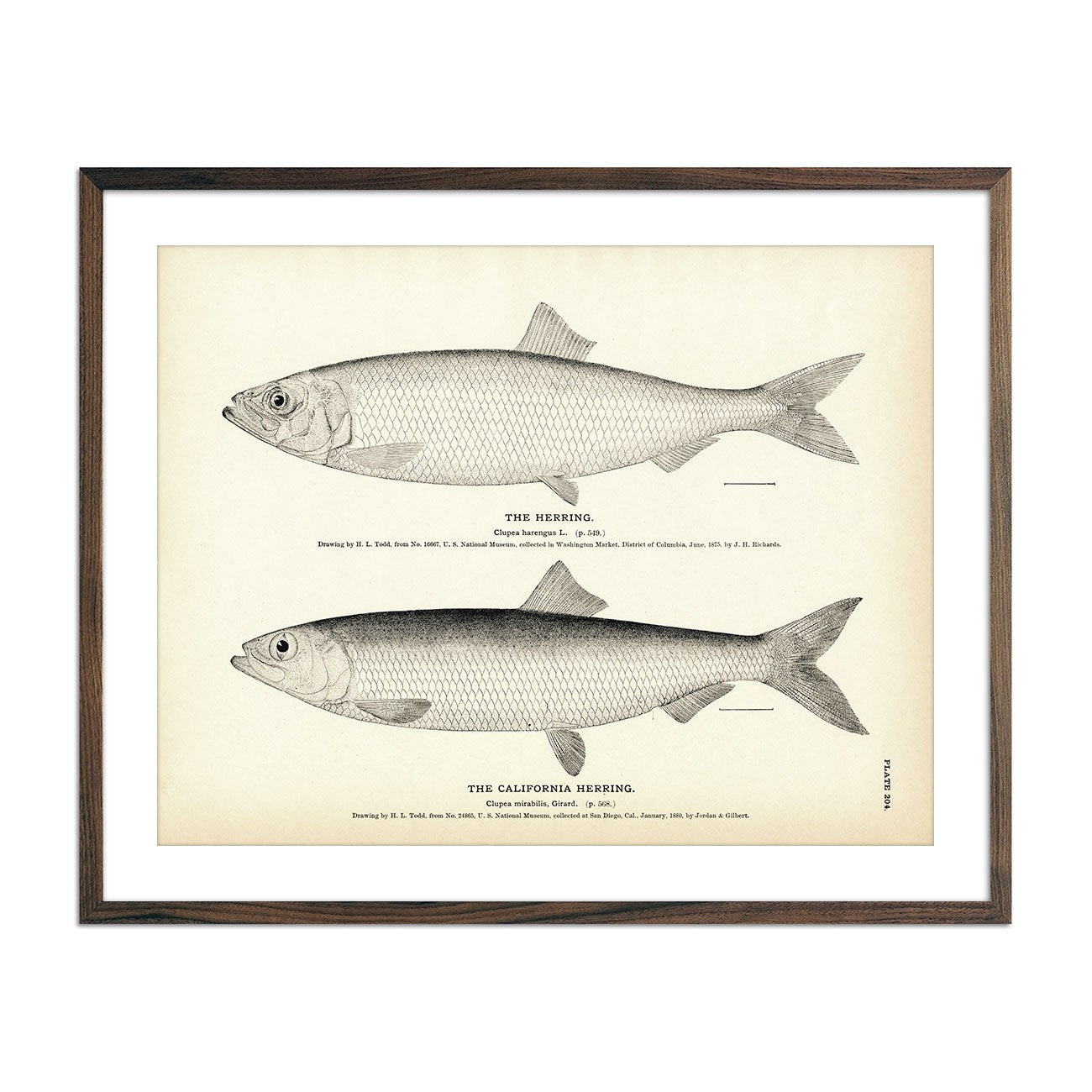
Herring and California Herring Art Print
Regular price
From
$ 35.00 USD
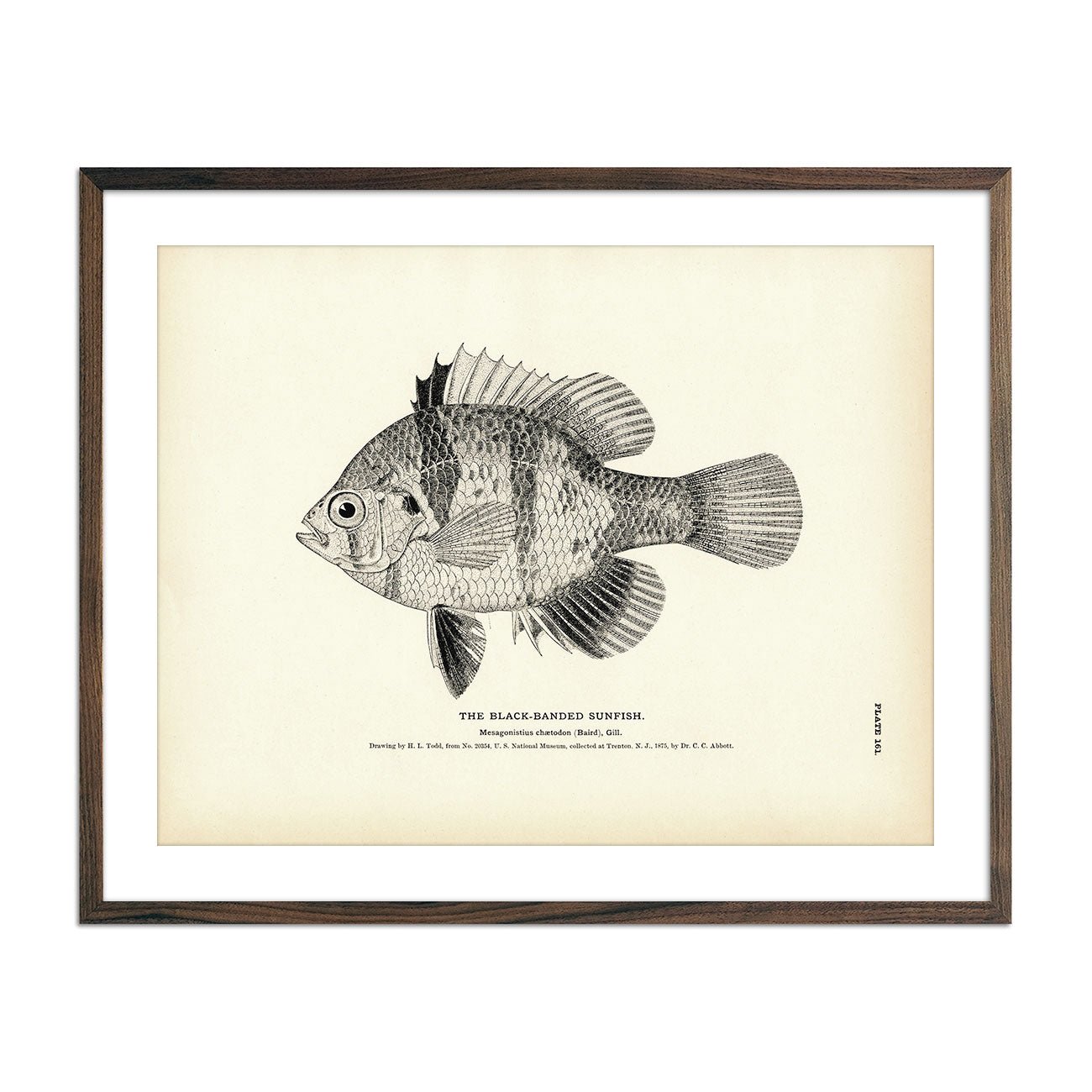
Black-Banded Sunfish Art Print
Regular price
From
$ 35.00 USD
5.0 / 5.0
1 review
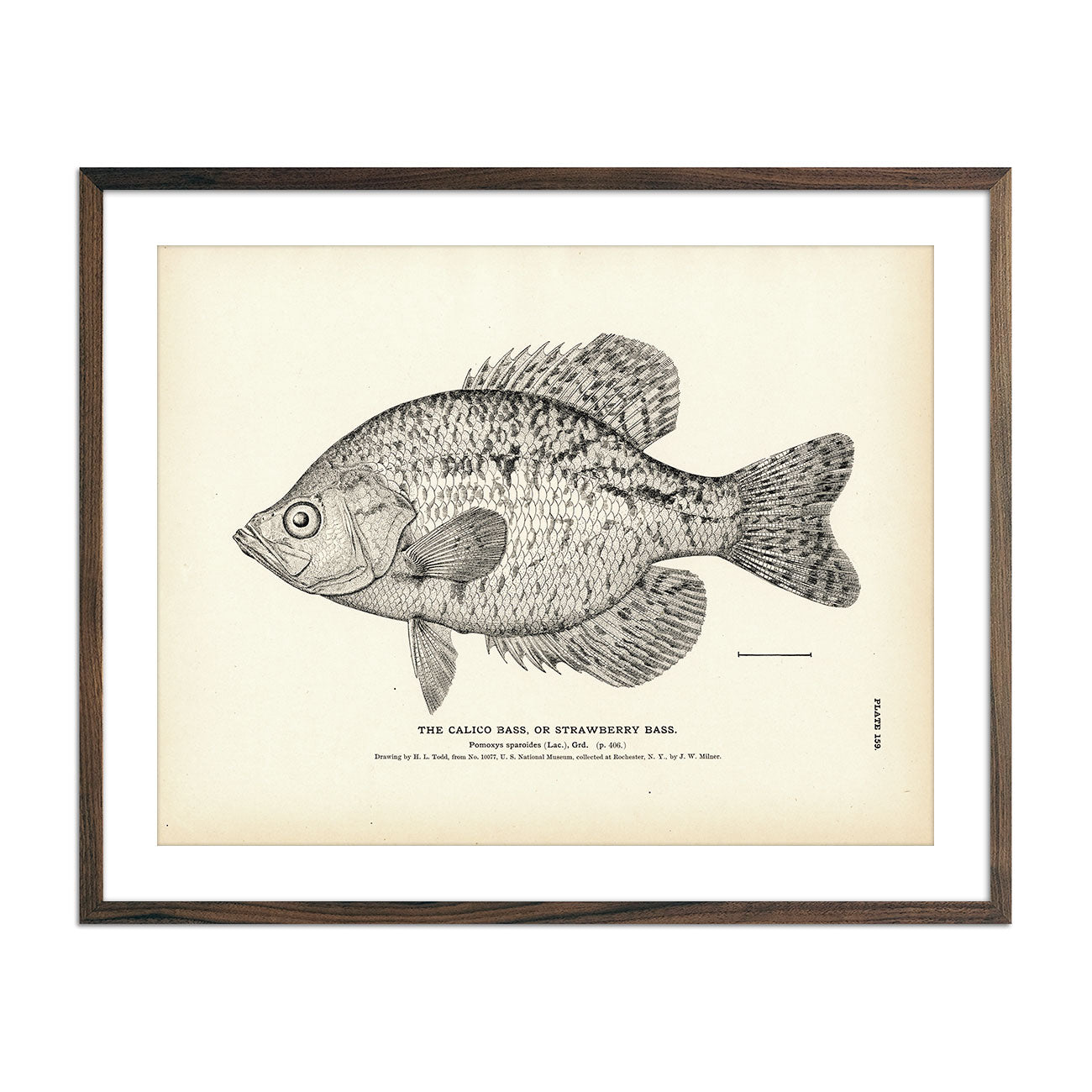
Calico Bass (Strawberry Bass) Art Print
Regular price
From
$ 35.00 USD
5.0 / 5.0
1 review
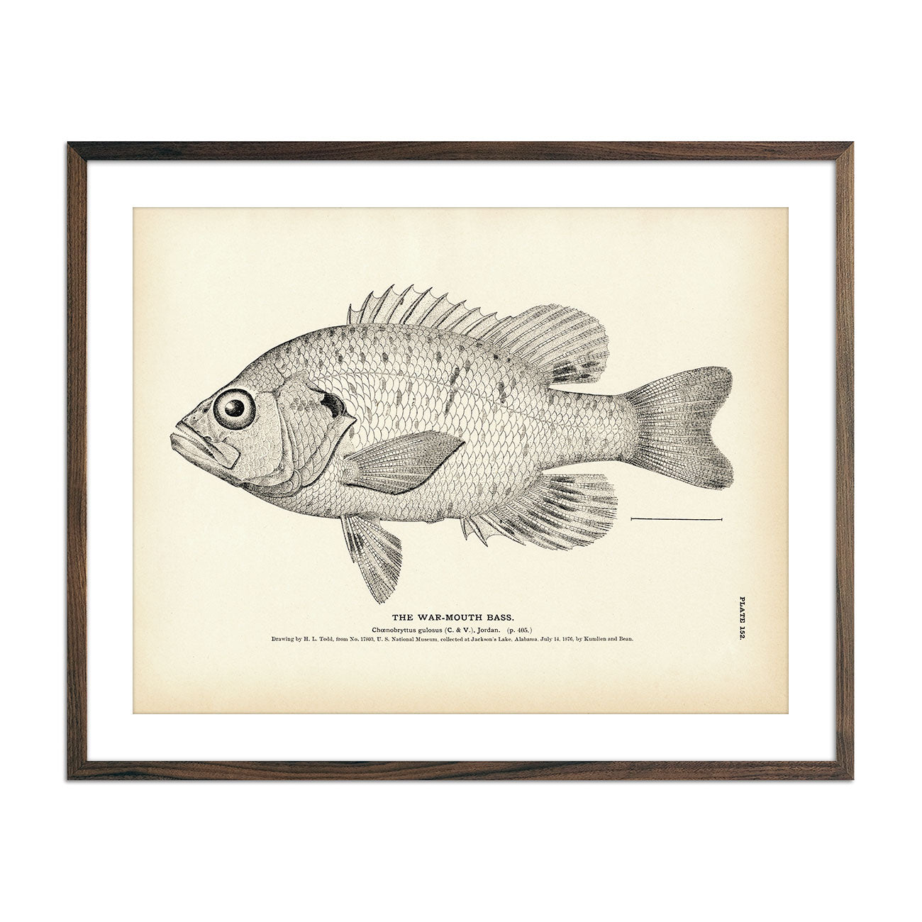
War-Mouth Bass Art Print
Regular price
From
$ 35.00 USD
5.0 / 5.0
3 reviews
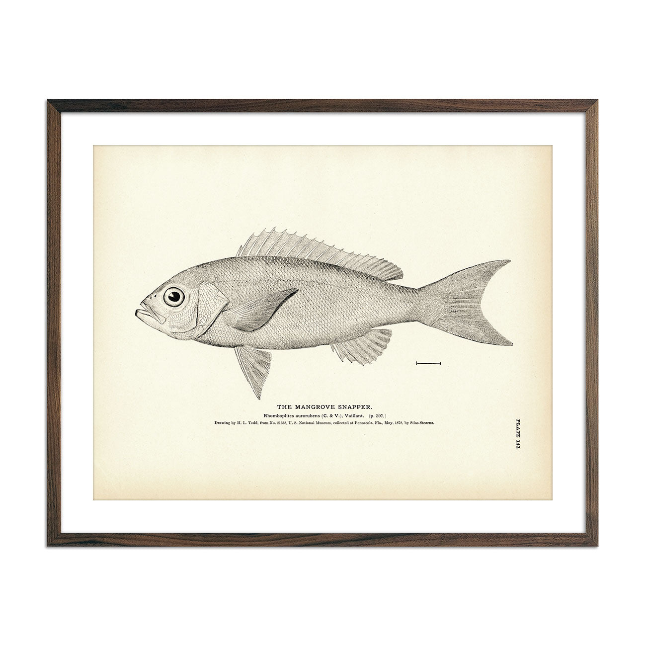
Mangrove Snapper Art Print
Regular price
From
$ 35.00 USD
5.0 / 5.0
2 reviews
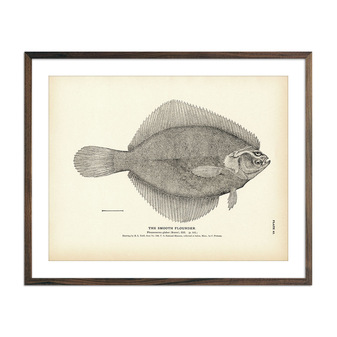
Smooth Flounder Art Print
Regular price
From
$ 35.00 USD
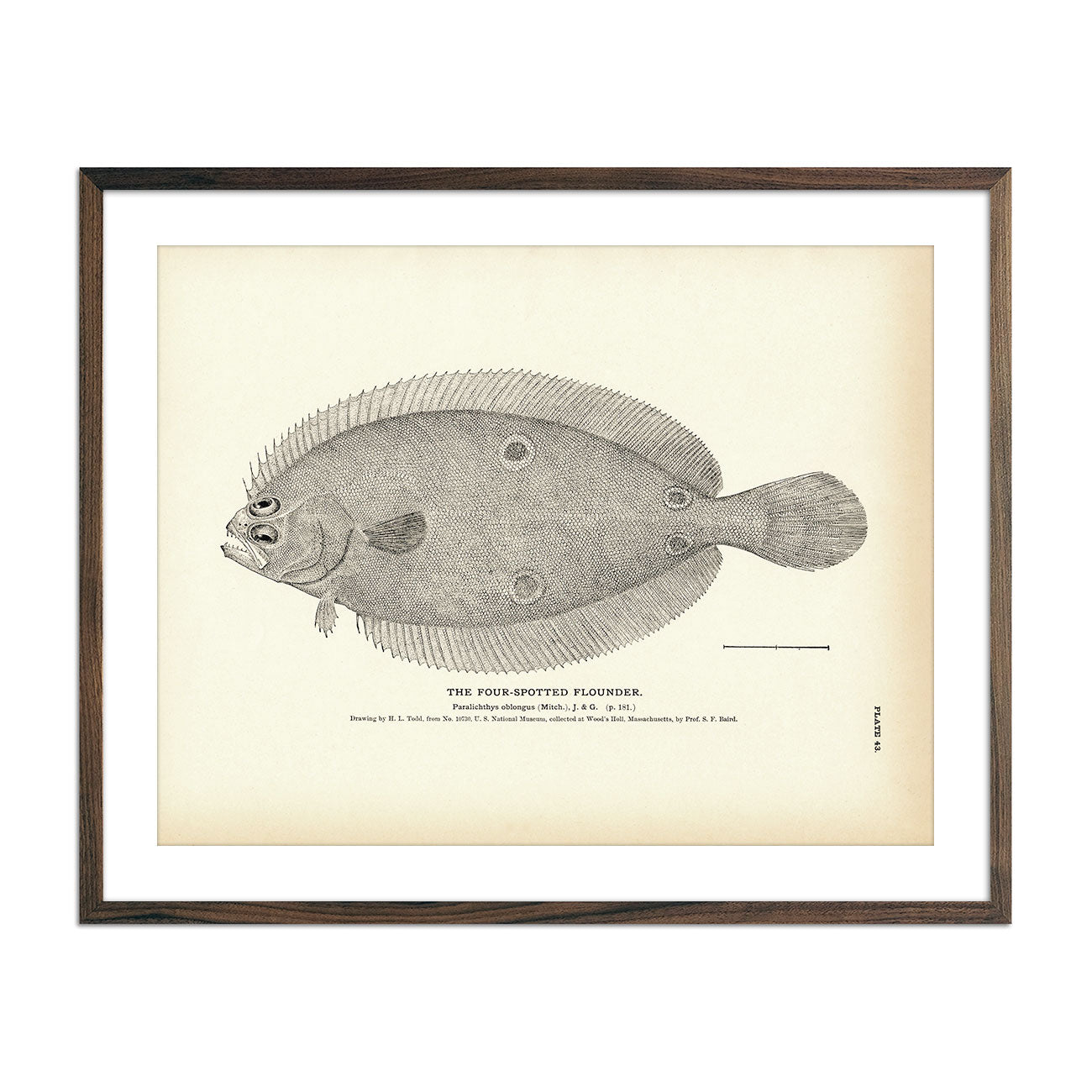
Four-Spotted Flounder Art Print
Regular price
From
$ 35.00 USD
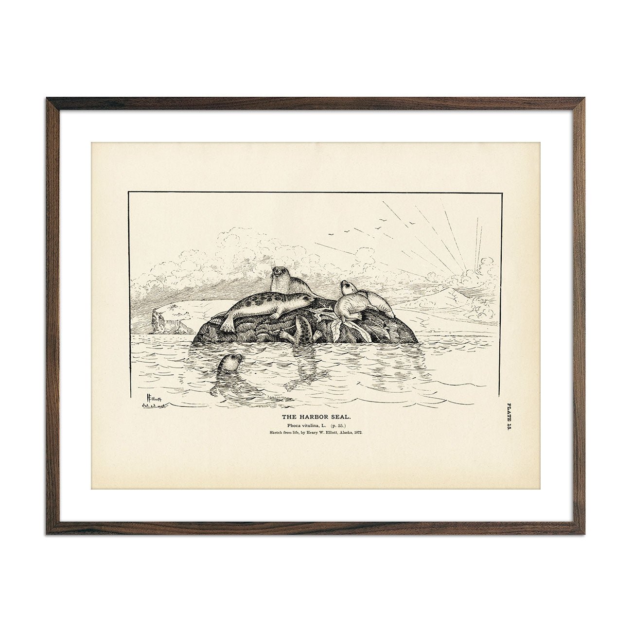
Harbor Seal Art Print
Regular price
From
$ 35.00 USD
5.0 / 5.0
1 review
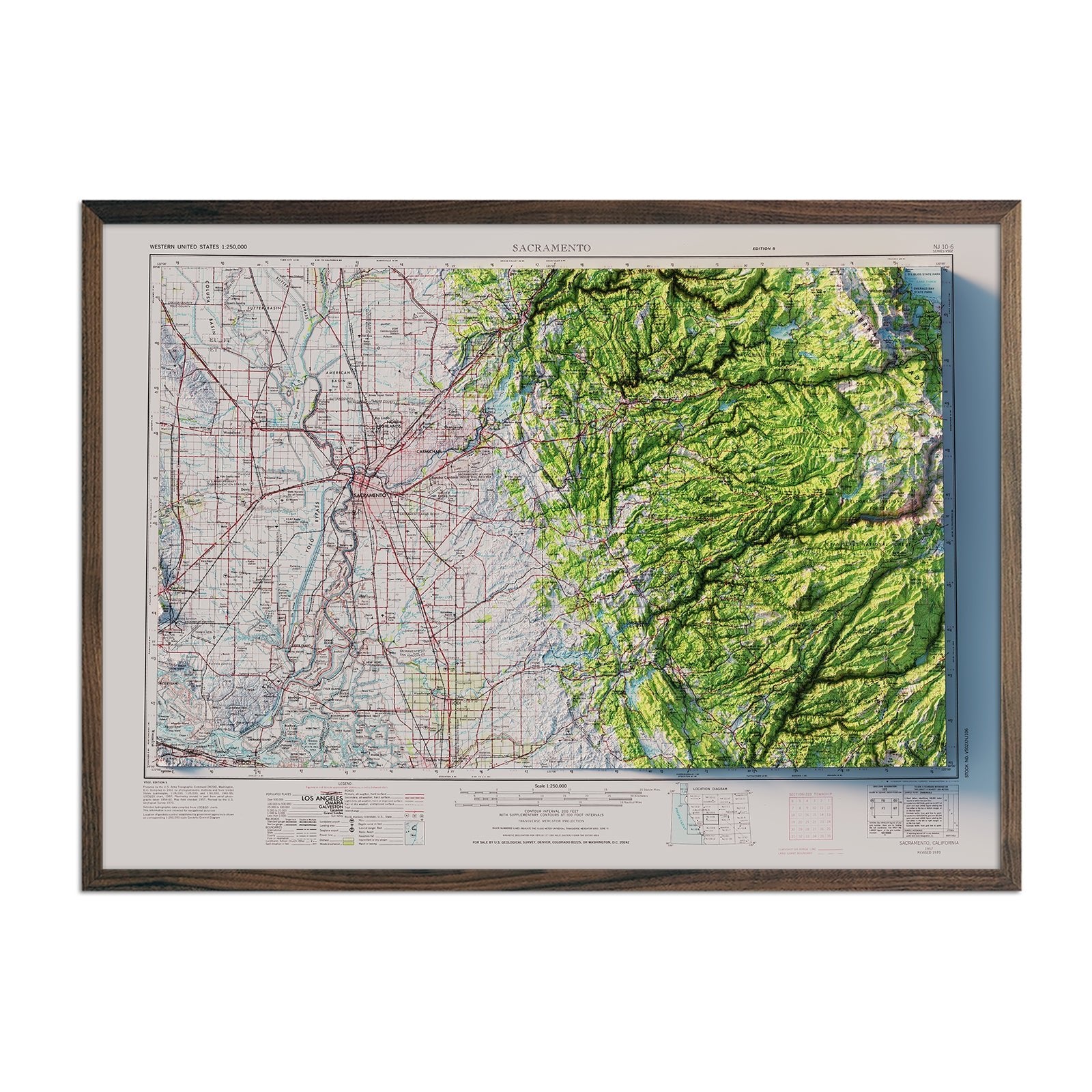
Sacramento, California 1957 Shaded Relief Map
Regular price
From
$ 79.00 USD
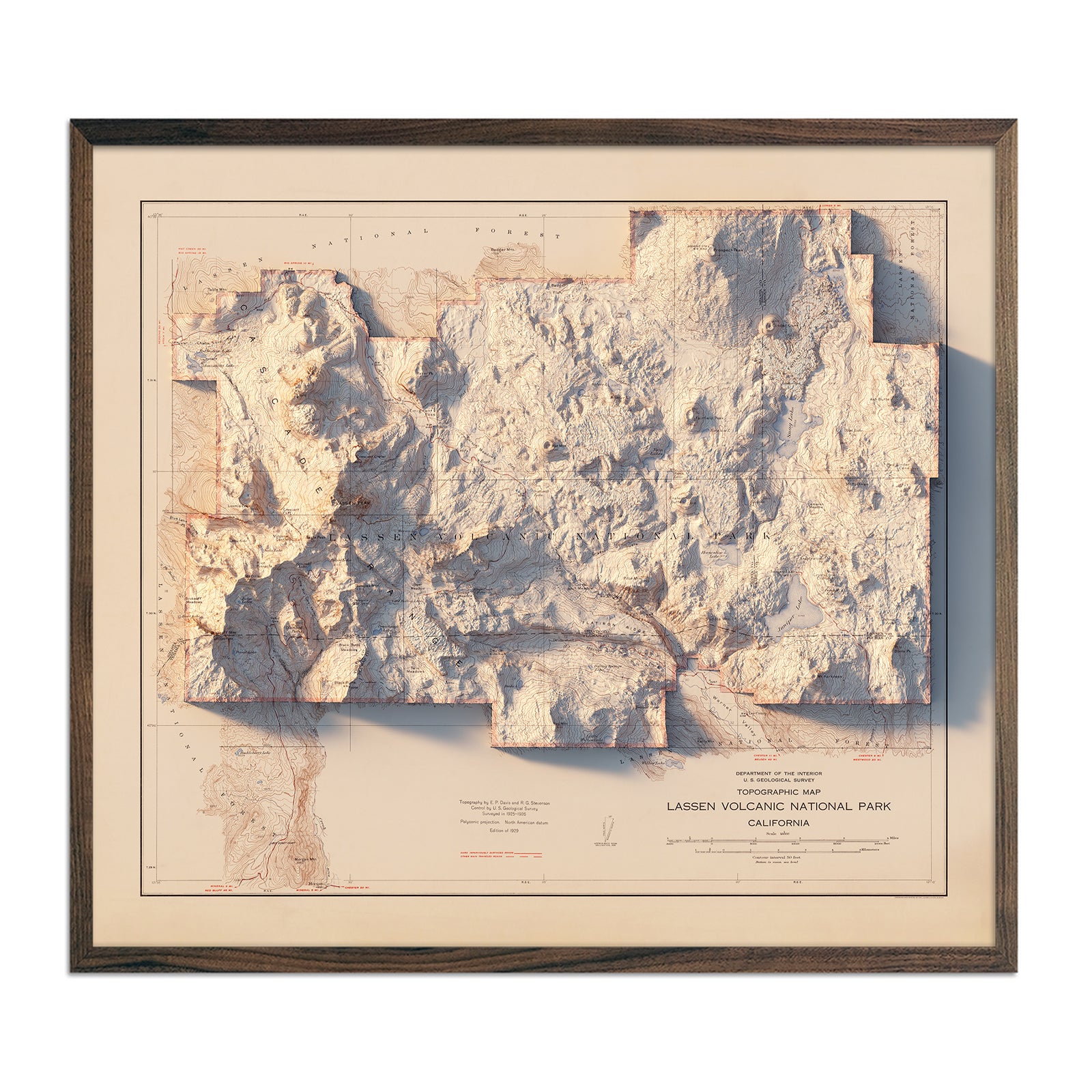
Lassen Volcanic National Park 1929 Shaded Relief Map
Regular price
From
$ 99.00 USD
Bangor, Maine 1960 Shaded Relief Map
Regular price
From
$ 64.00 USD
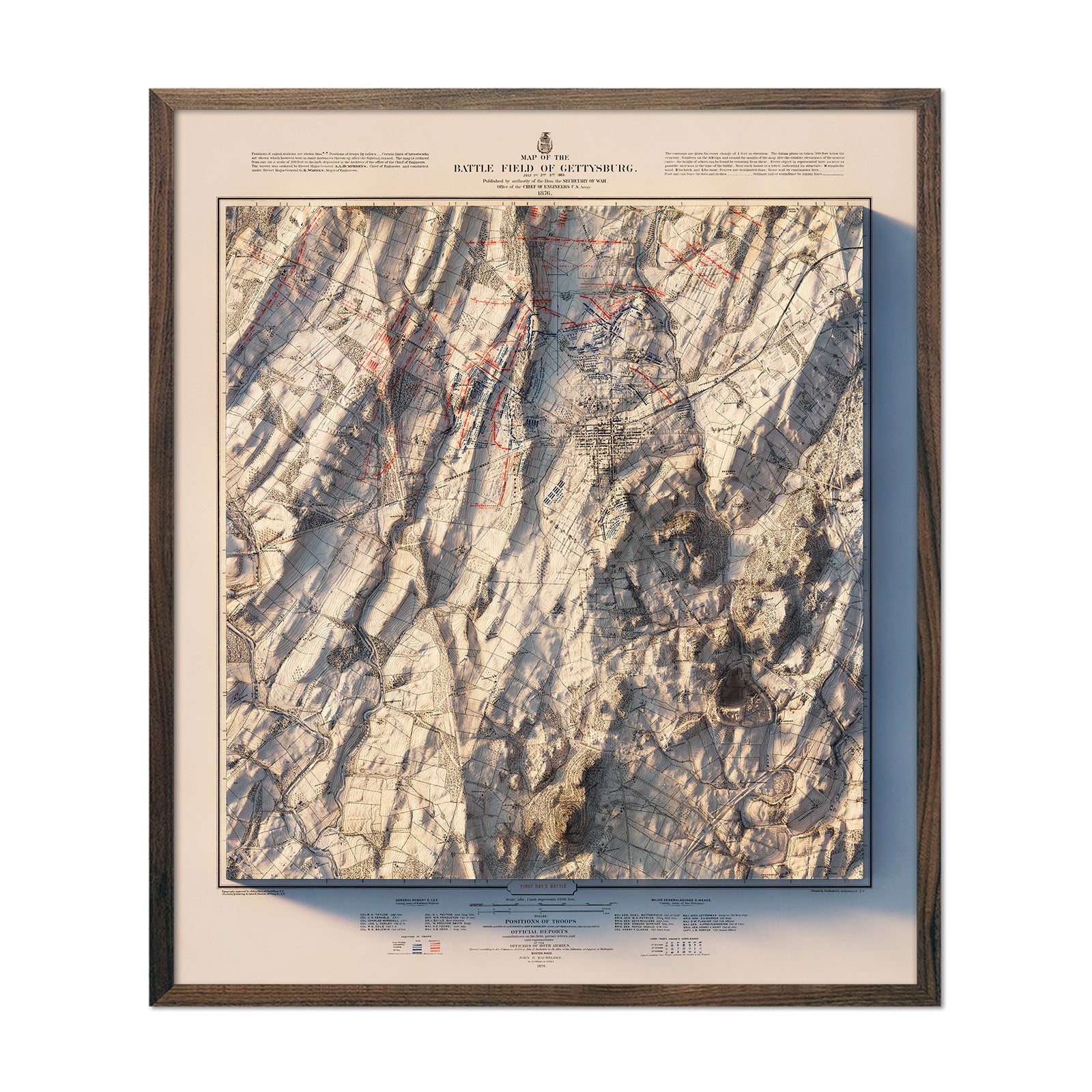
Gettysburg 1st Day 1876 Shaded Relief Map
Regular price
From
$ 99.00 USD
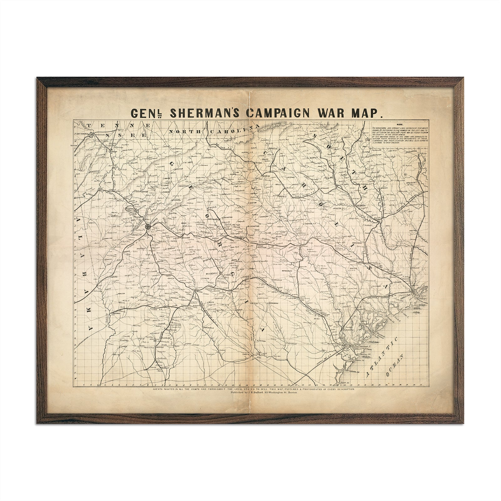
General Sherman's Campaign War Map
Regular price
From
$ 64.00 USD
5.0 / 5.0
1 review
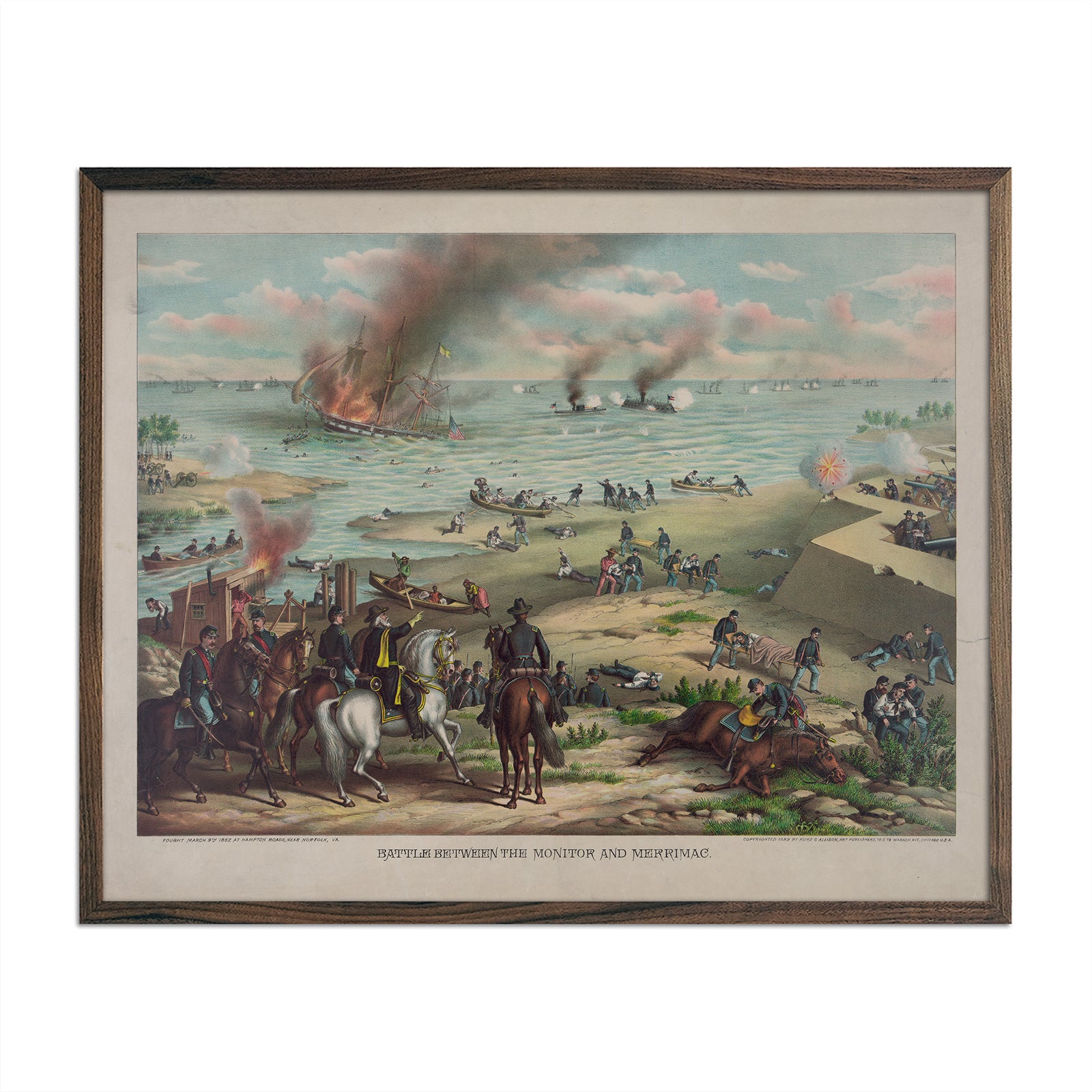
Battle between the Monitor and Merrimac
Regular price
From
$ 64.00 USD
Civil War Visual History Map
Regular price
From
$ 79.00 USD
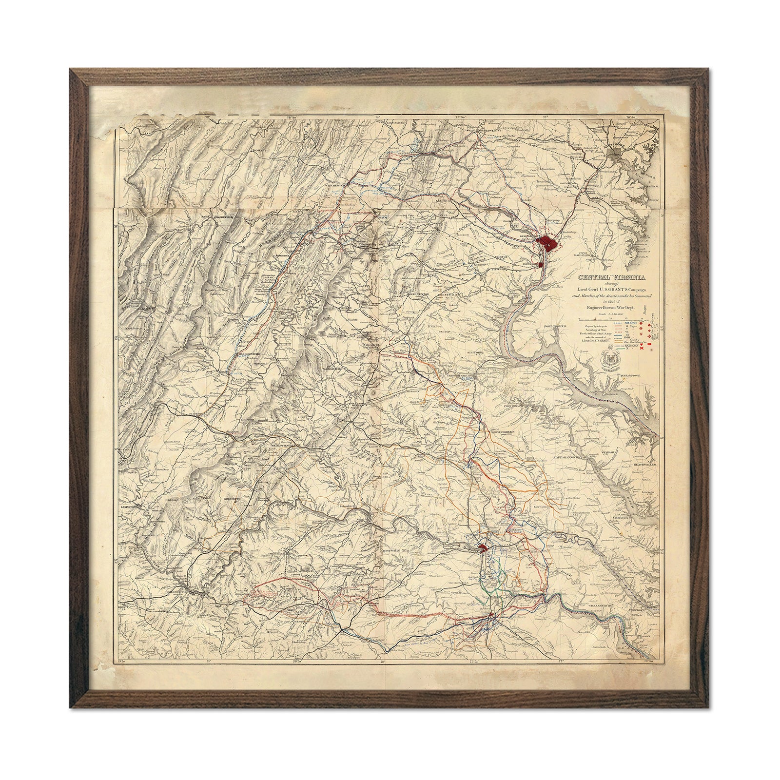
Central Virginia Map Showing Lieutenant General U.S. Grant's Campaign
Regular price
From
$ 89.00 USD
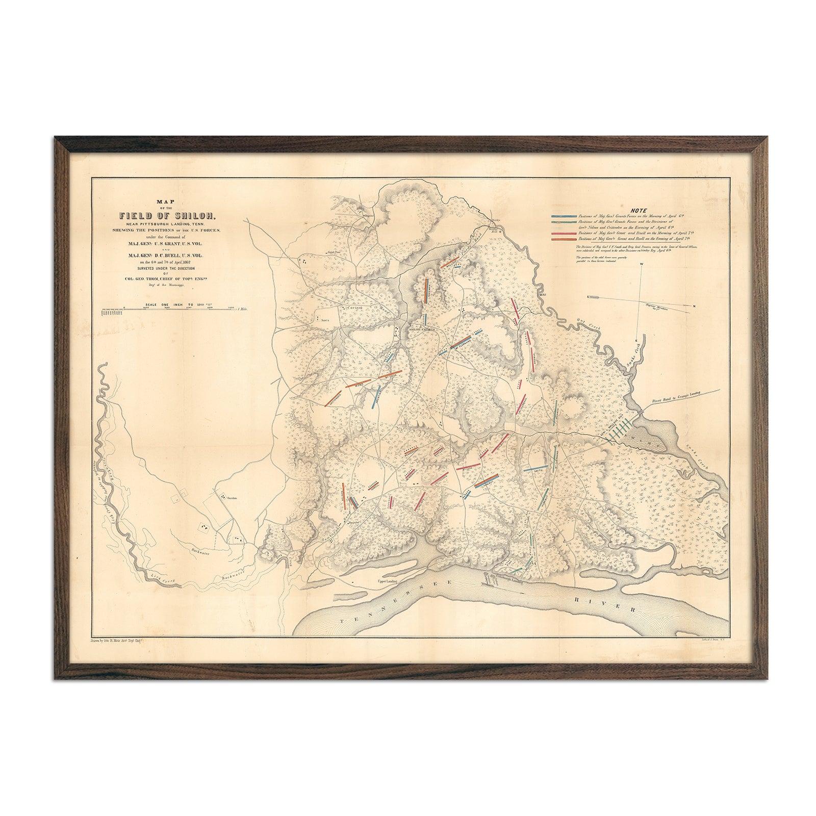
Field of Shiloh
Regular price
From
$ 79.00 USD
Long Island Sound Nautical Chart 1899
Regular price
From
$ 99.00 USD
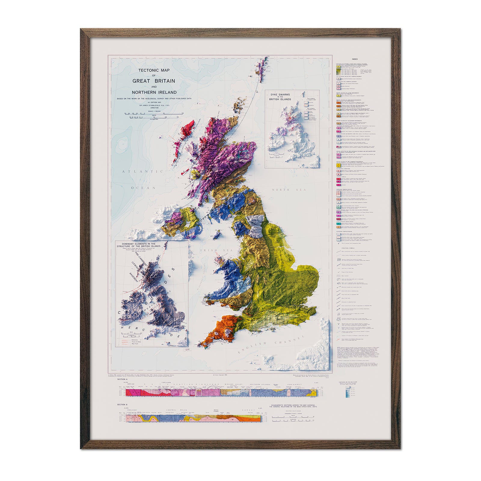
Great Britain and Northern Ireland 1966 Shaded Relief Map
Regular price
From
$ 79.00 USD
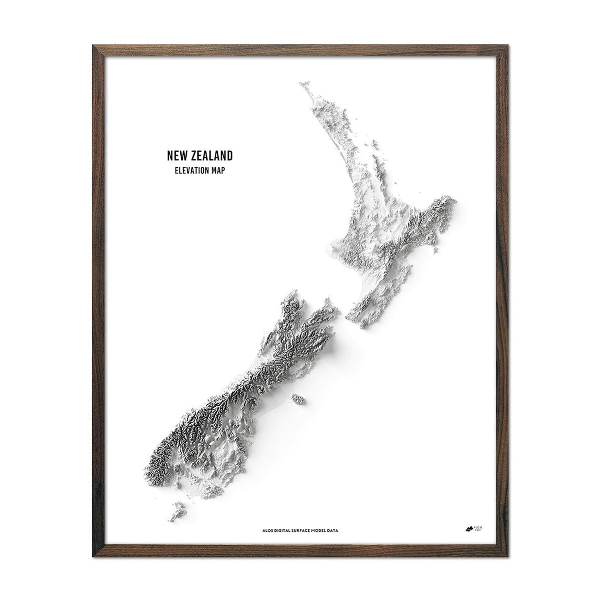
New Zealand Elevation Map
Regular price
From
$ 79.00 USD
« Previous
·
1
…
20
21
22
23
24
…
31
·
Next »
Your cart
Close
Spend
$ 49.00 USD
more for
free shipping
!
Your order is eligible for free shipping!
You may also like
Previous
Next
The Lake Tahoe Tumbler
Regular price
$ 59.00 USD
Add to cart
Close
Your cart is empty
Start shopping