


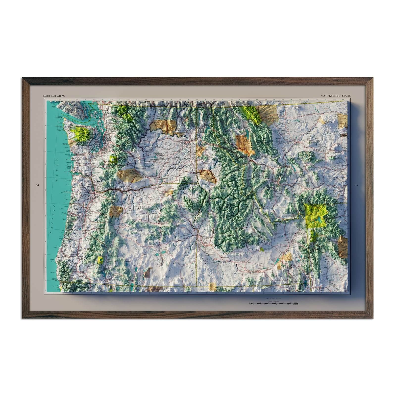


Oregon Map Prints, 3D Raised Relief, Shaded Relief, Elevation, & Hydrological Maps
Oregon's topography is a diverse landscape that effortlessly weaves together the rugged beauty of the Pacific Northwest. Muir Way captures these features with our Oregon Map Print collection. Choose from our 3D raised relief maps, shaded relief maps, elevation maps, hydrological maps, vintage maps, and national park maps.
Our map prints use archival inks and fine art paper certified to last 100 years. These unique art prints brings the Oregon terrain to life, making it a highlighted feature in any room environment.
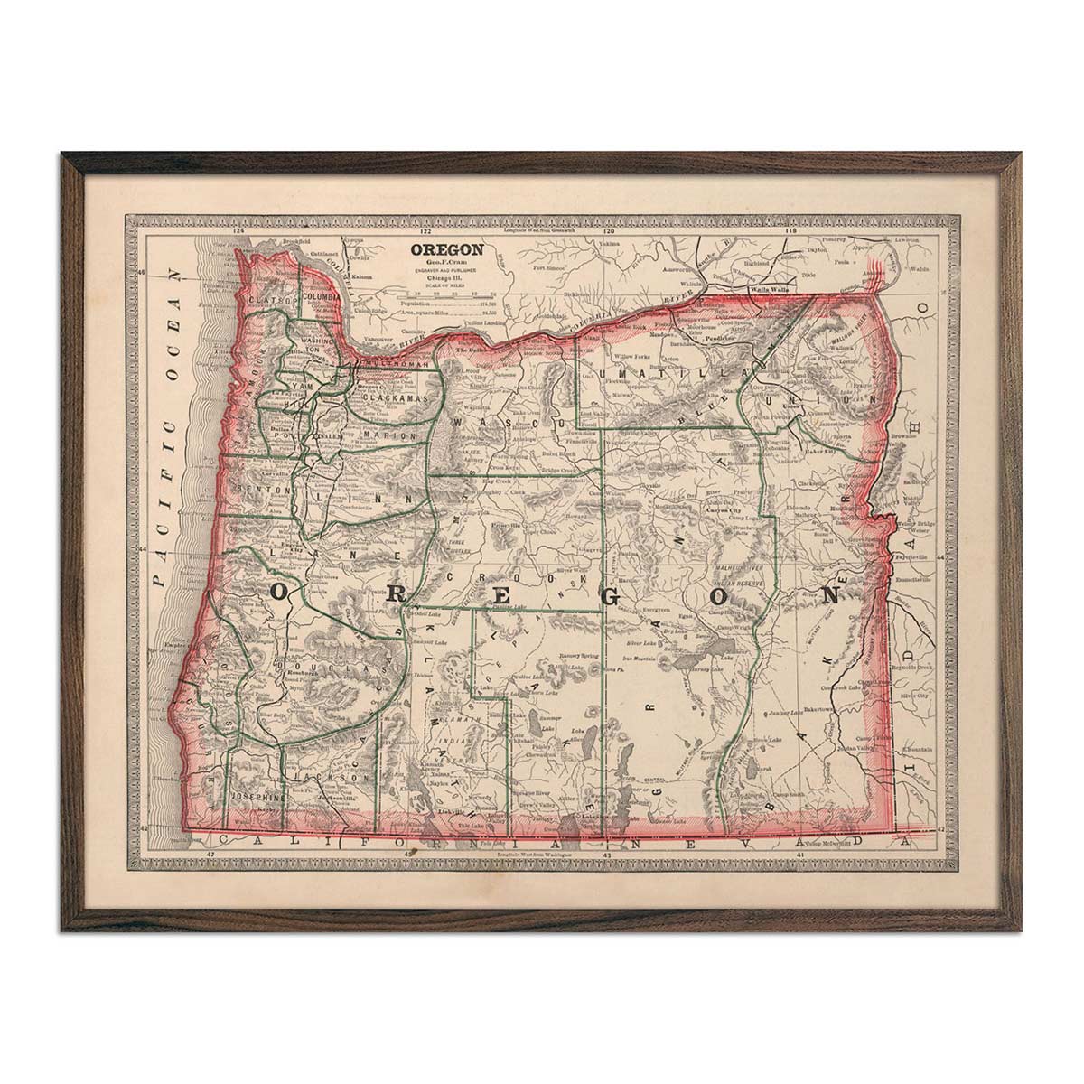
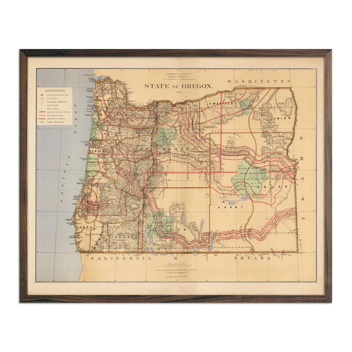
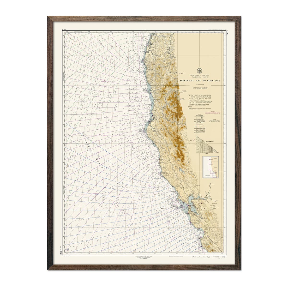
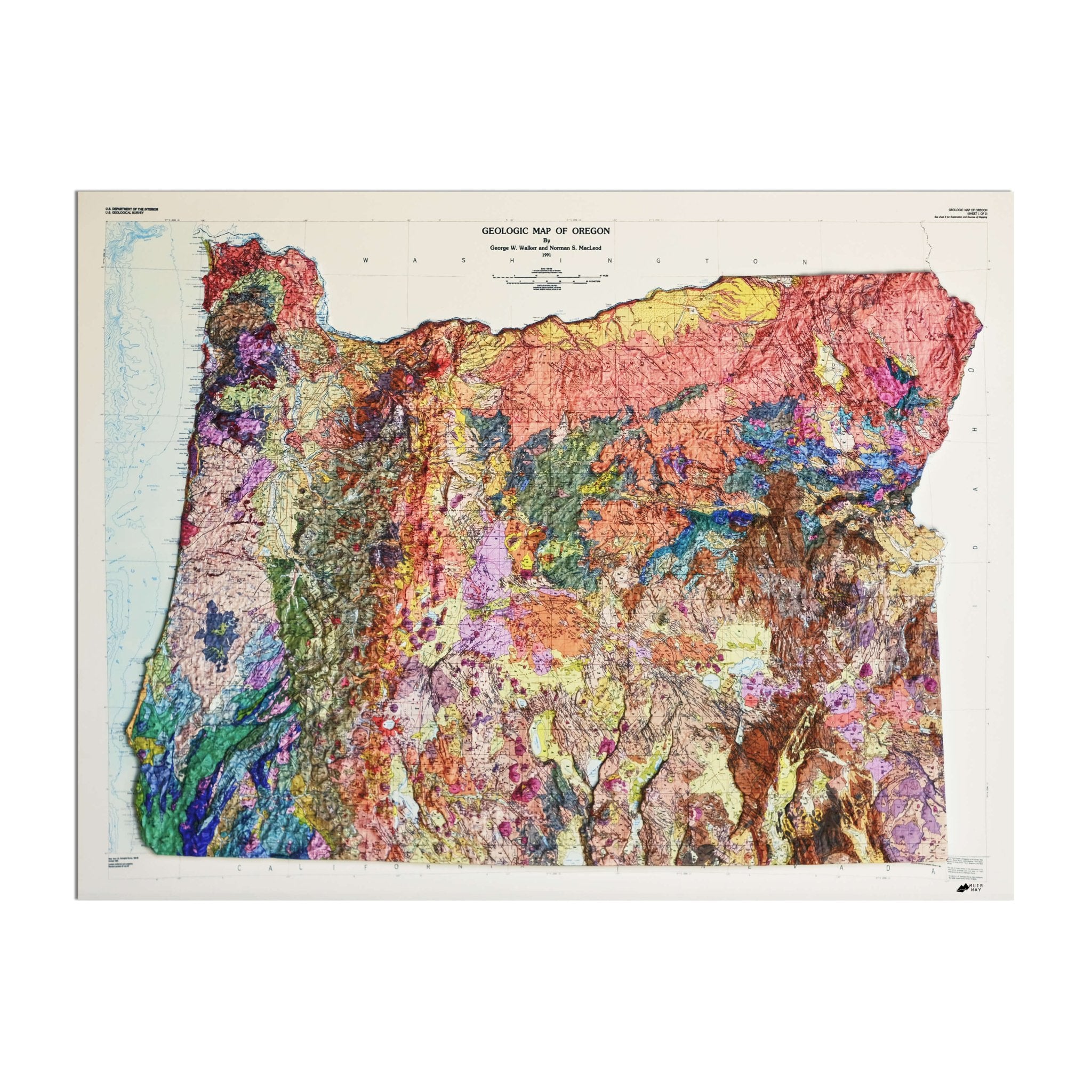
Oregon achieved statehood in 1859 and became the 33rd state in the Union. We chronicle Oregon’s timeline in our historic maps, which reach back into the late 1800s. Our 1883 Oregon Map and 1876 state map reproductions give you a snapshot into the state through the eyes of its pioneers featuring a record of history beautifully restored to retain its vintage charm without the wear and tear. Our vintage Oregon maps are custom printed using archival materials.
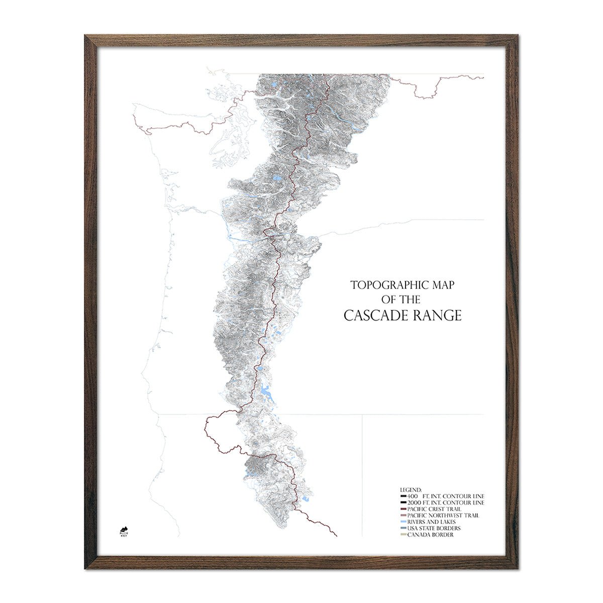
Oregon boasts a kaleidoscope of terrains. The rugged Pacific coastline boasts dramatic cliffs and dune-filled beaches, as well as dense, rain-soaked forests. The Cascade Range divides the state with its snow-capped peaks and volcanic wonders, while the east unveils the arid expanses of high desert plateau, punctuated by unique rock formations.
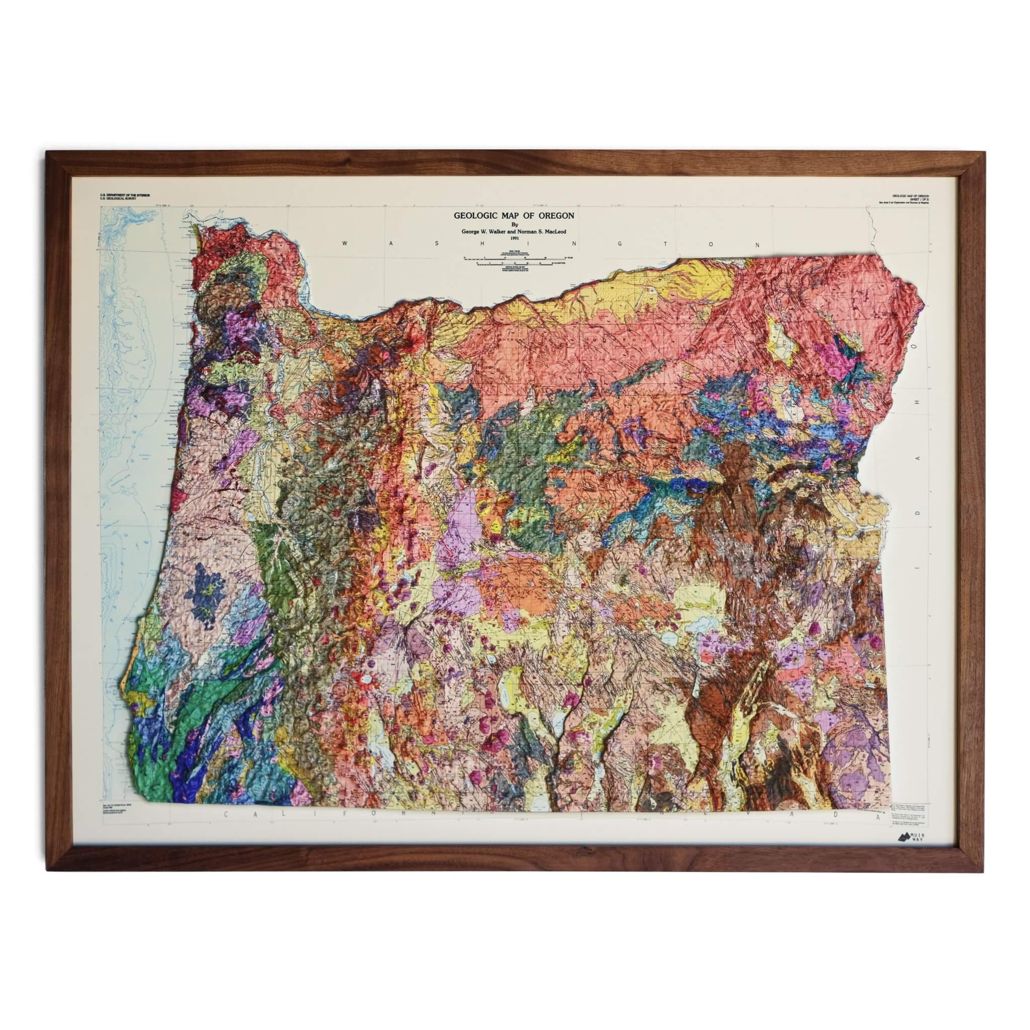
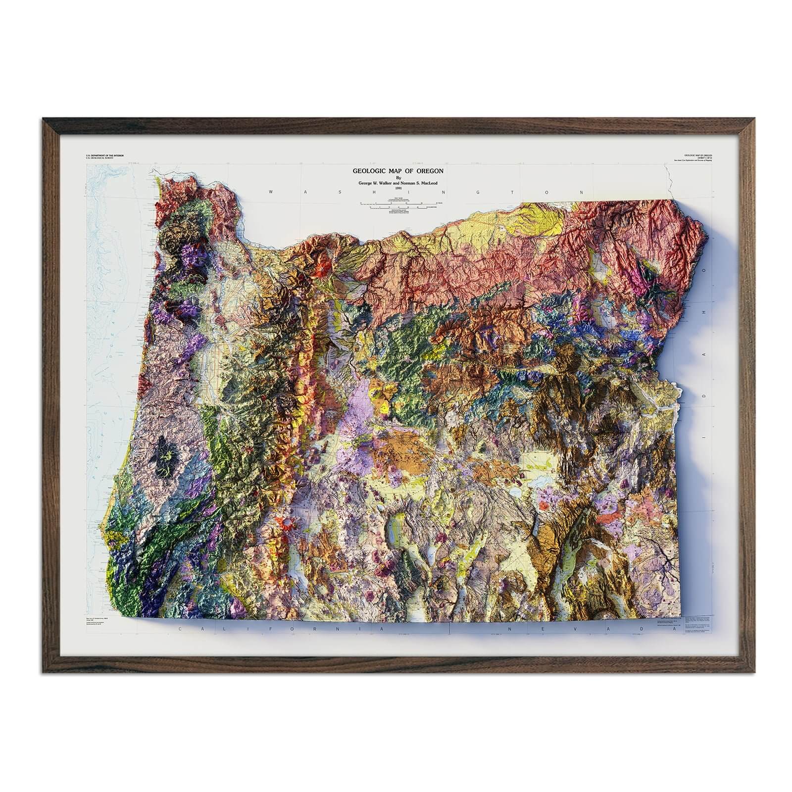
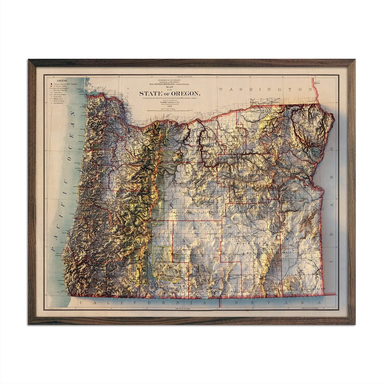
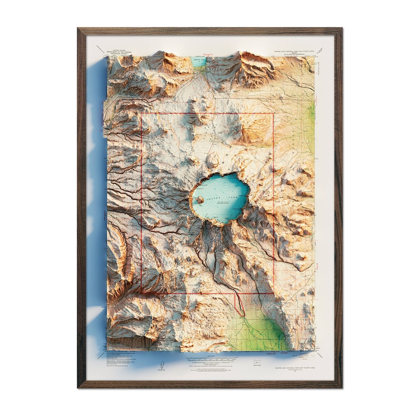
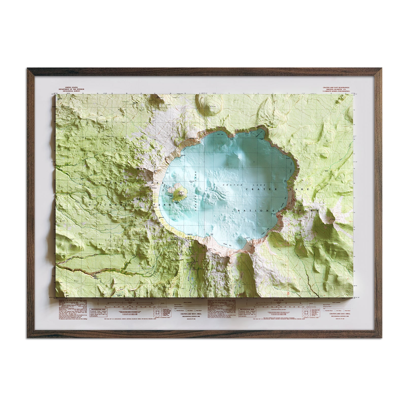
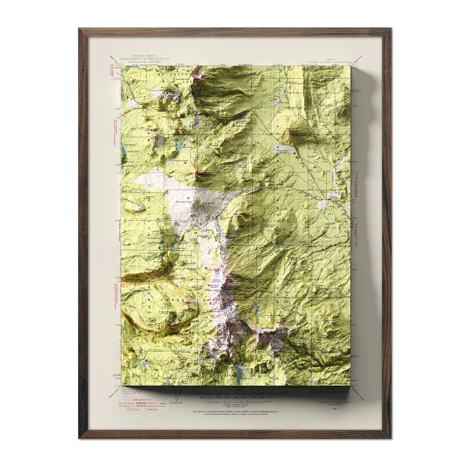
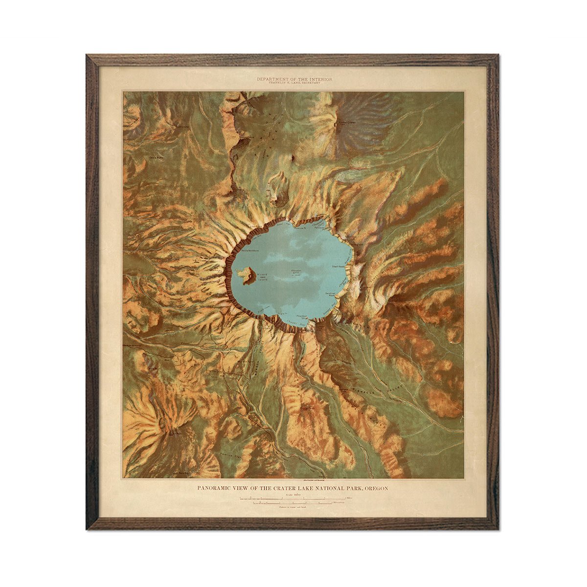
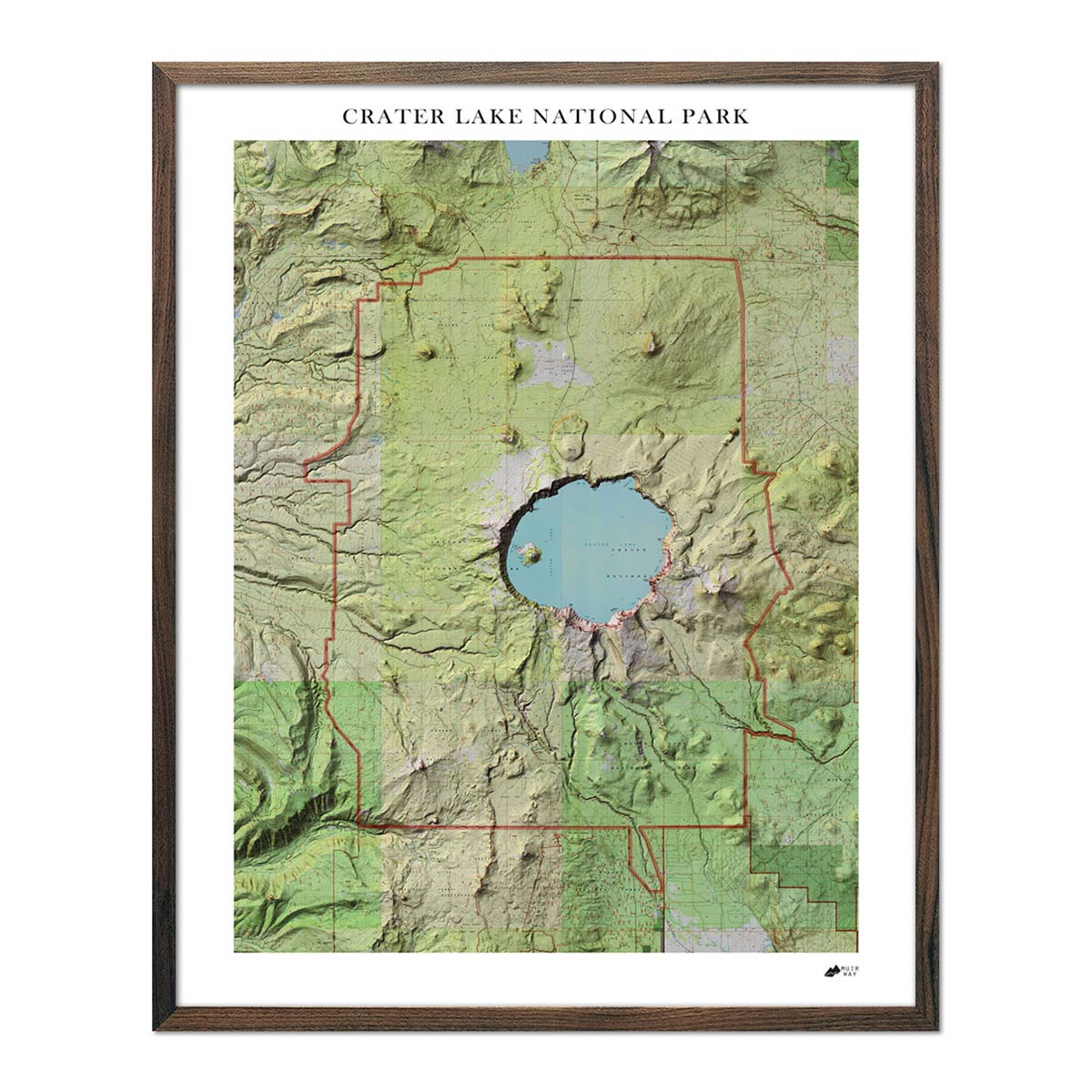
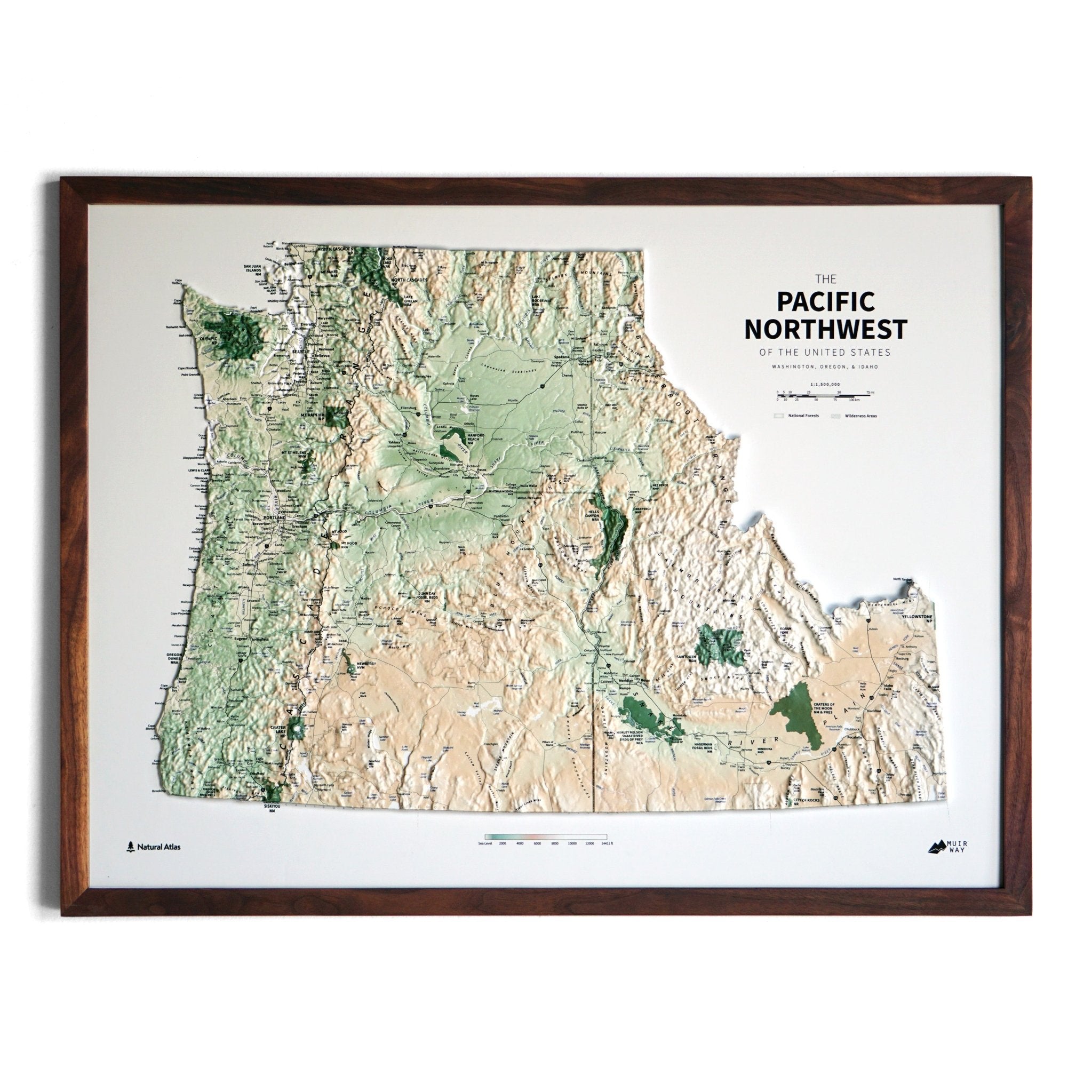
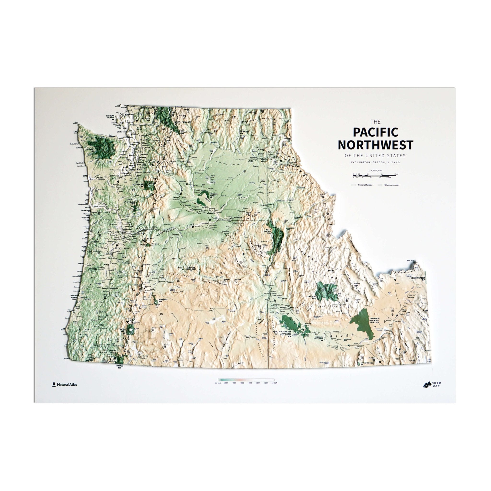
Muir Way map prints visually represent the topography of an area by simulating light casting shadows over the terrain. We use variations in shading to depict the elevation changes, giving the viewer a three-dimensional sense of the landscape. View Oregon’s best features through our reproduction of the 1991 shaded relief map, or go back in time with our 1897 shaded relief map or 1956 crater lake shaded relief map reproduction.
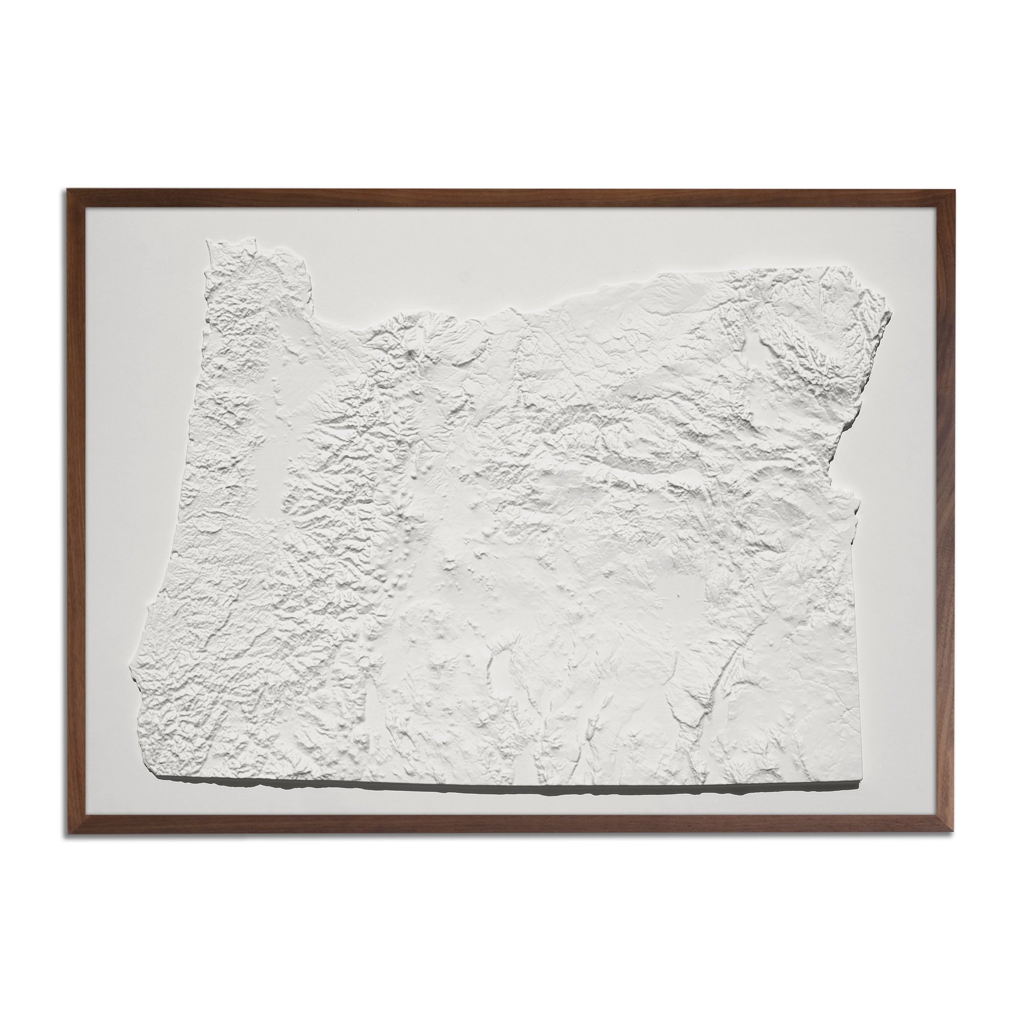
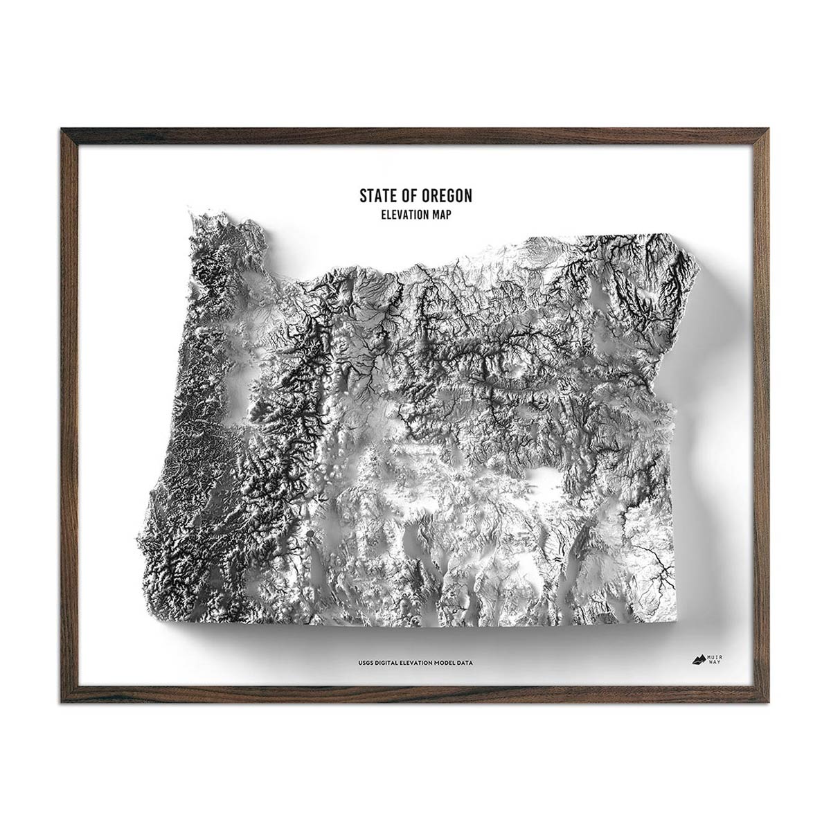
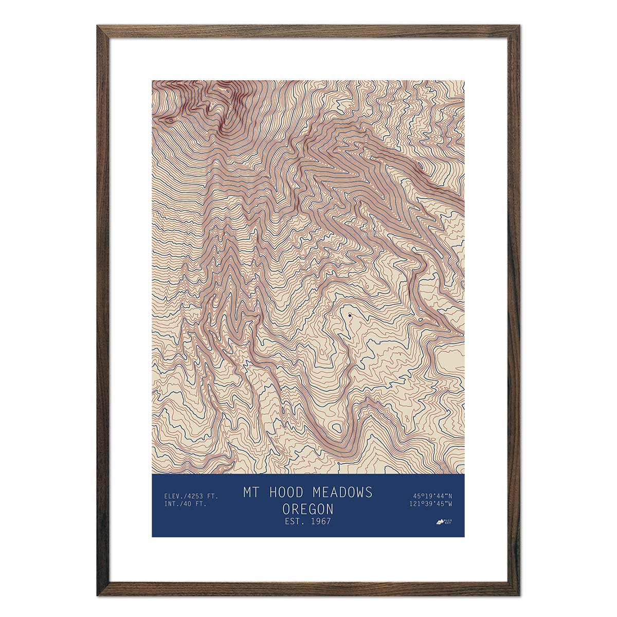
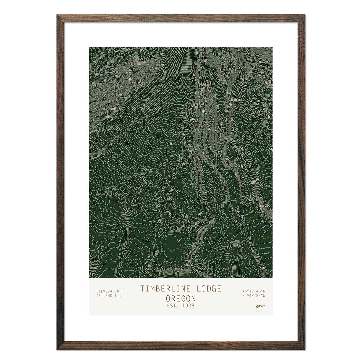
Did you know that Mount Hood is Oregon’s highest point? It stands tall at 11,239 feet. Our Oregon elevation map captures the essence of Mount Hood, as well as other well known peaks and ranges, including the Cascade Range, Coast Range, Blue Mountains, and Wallowa Mountains. We use Digital Elevation Data from the USGS to create shaded relief with a 3-dimensional effect in stunning black and white.
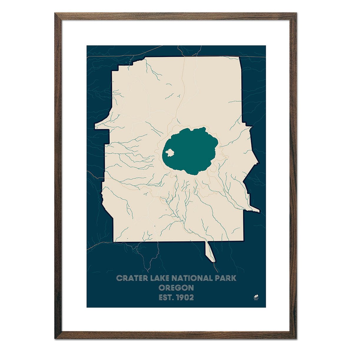
Each year, millions of people visit Oregon’s coastline, rivers, and lakes in search of adventure. Some of the state’s most popular destinations include Crater Lake, Waldo Lake, Columbia River, Rogue River, and Upper Klamath Lake.
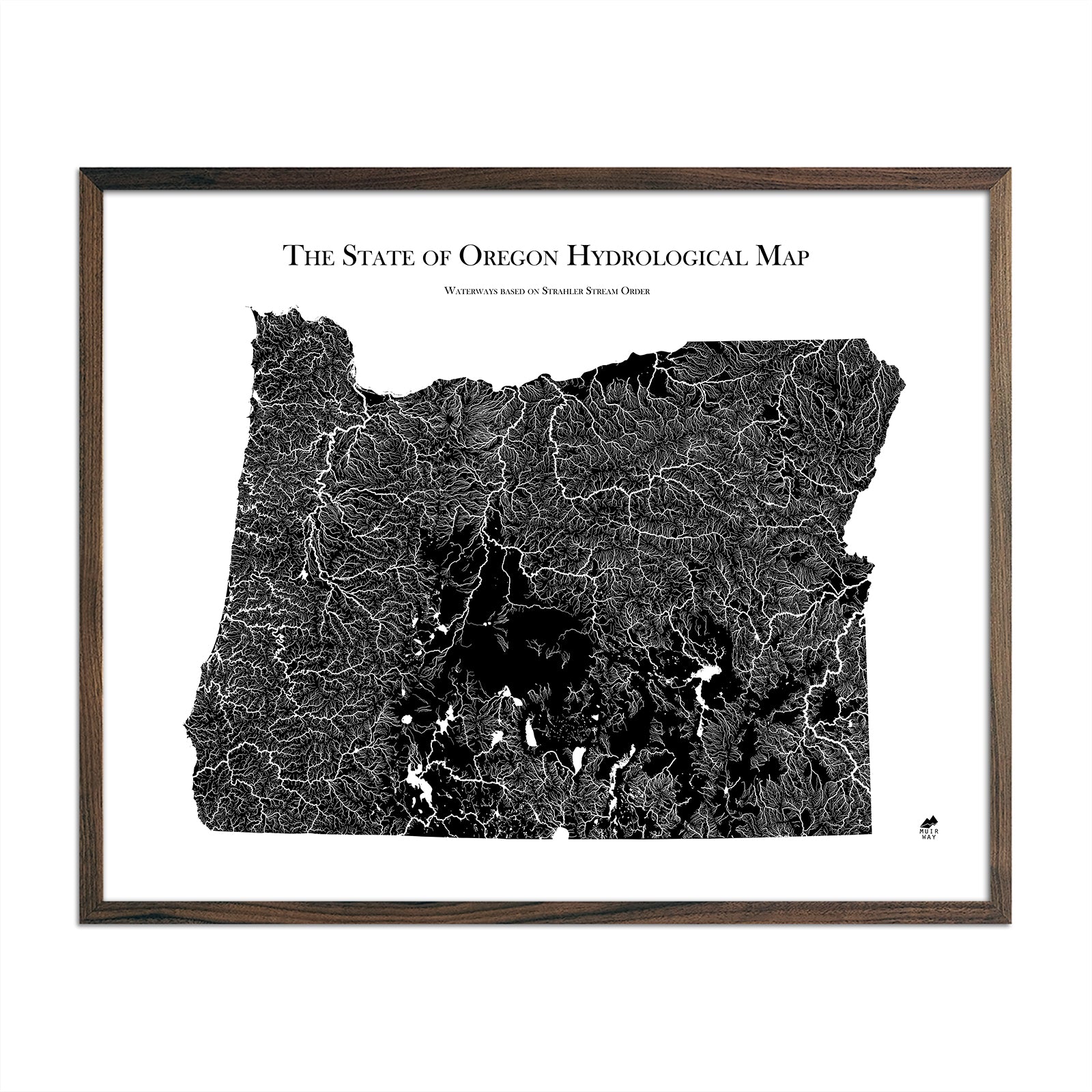
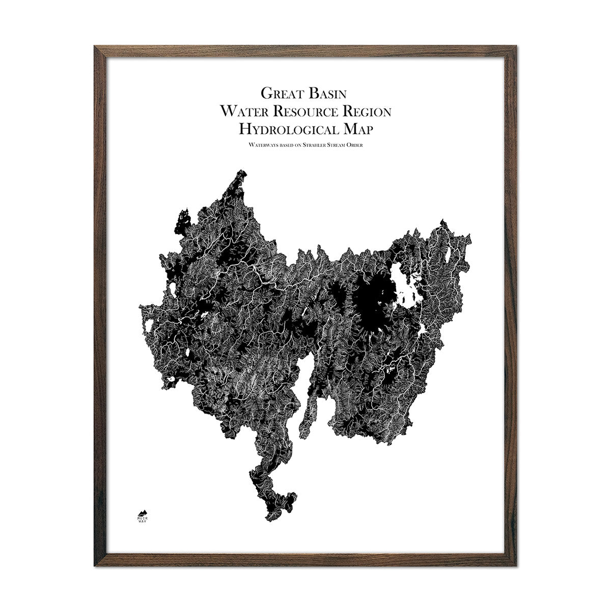
Our Oregon hydrological maps display water features, including lakes, rivers, streams, ponds, reservoirs, watersheds, aquifers, and other water bodies. We apply a method called the Strahler Stream Order to show the hierarchy of streams as they flow from their source, with rivers shown thicker as they acquire the flow of tributaries. Maps are available in black, blue, or green. Want to see how Oregon’s water interconnects with the its bordering states? See our Pacific Northwest Regional Hydrological map and our Great Basin Regional Hydrological map.
If you like our collection of Oregon maps, you may also be interested in maps of other Pacific Region states. Click below to browse:
