


Washington State Map Prints, Relief & Topographical Maps
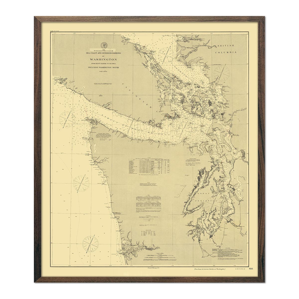
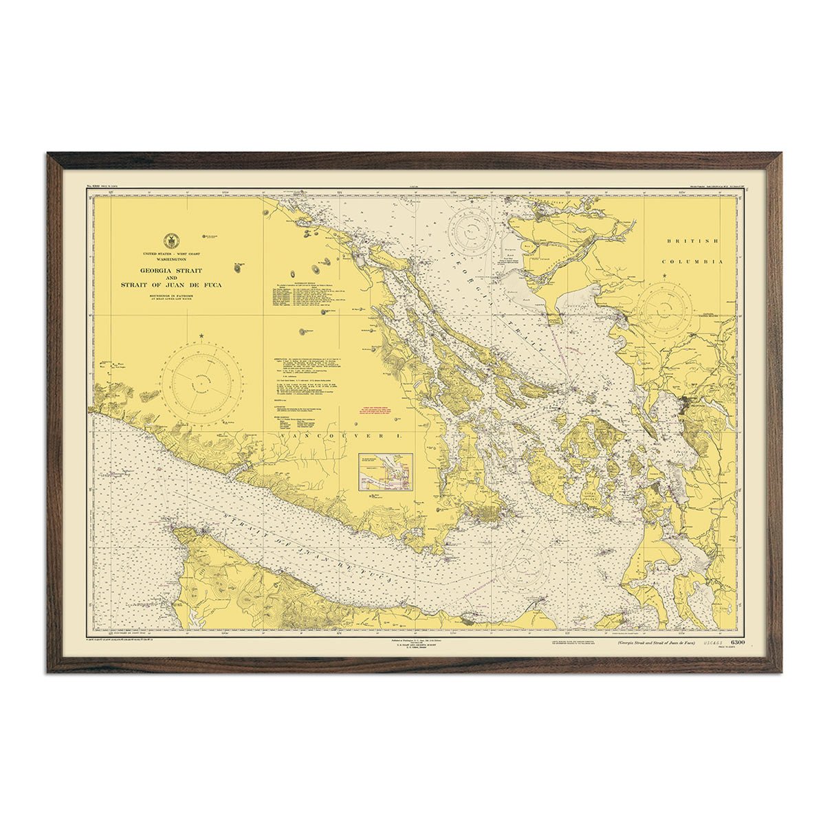
Take a journey through the Evergreen State with our collection of Washington map prints. These prints highlight Washington’s unique history and topography. Choose from shaded relief maps, elevation maps, hydrological maps, and vintage maps that date as far back as 1883.
Washington State's history is marked by the rich cultures of indigenous peoples, including the Coast Salish and Chinook, and by the influence of Spanish, British, and American expeditions.
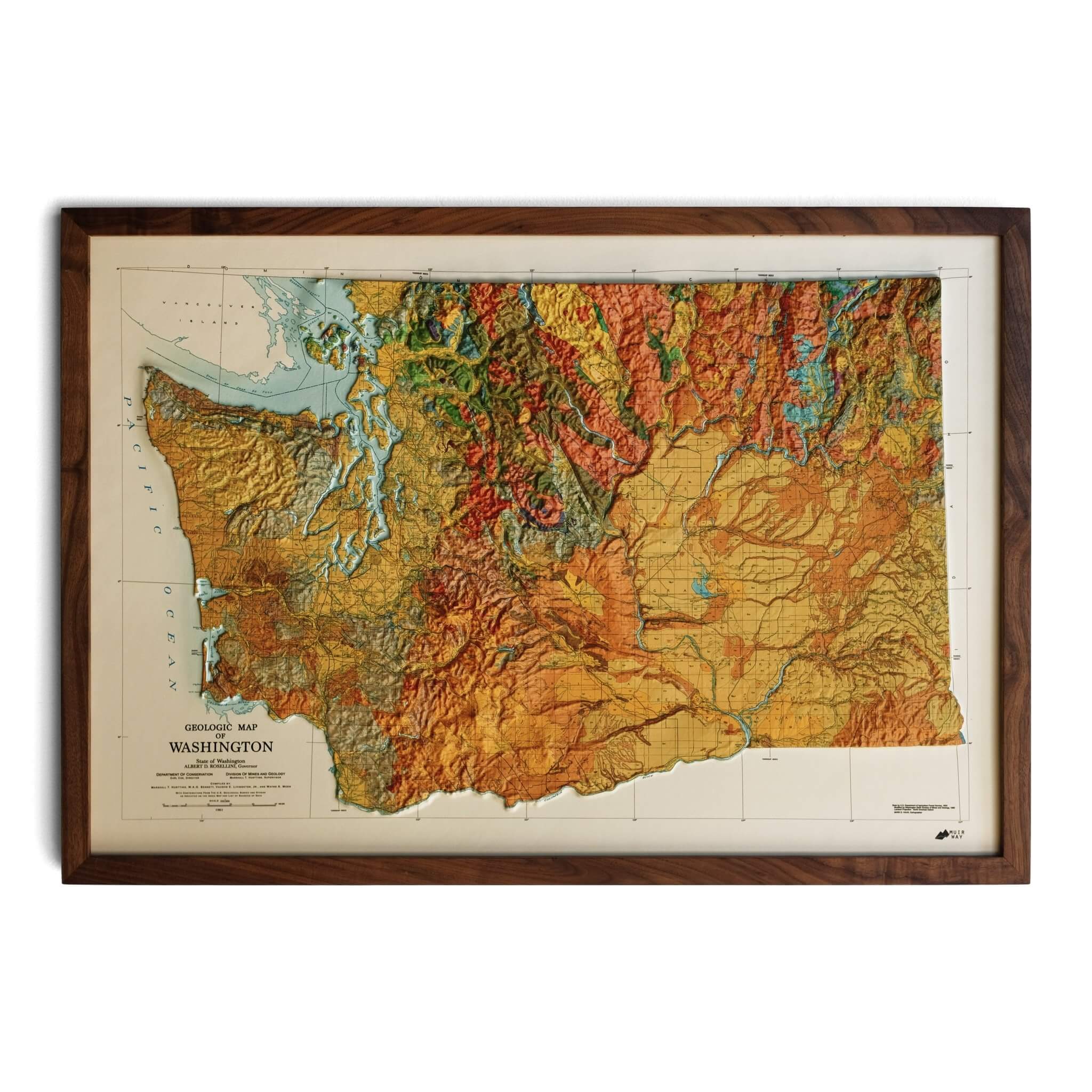
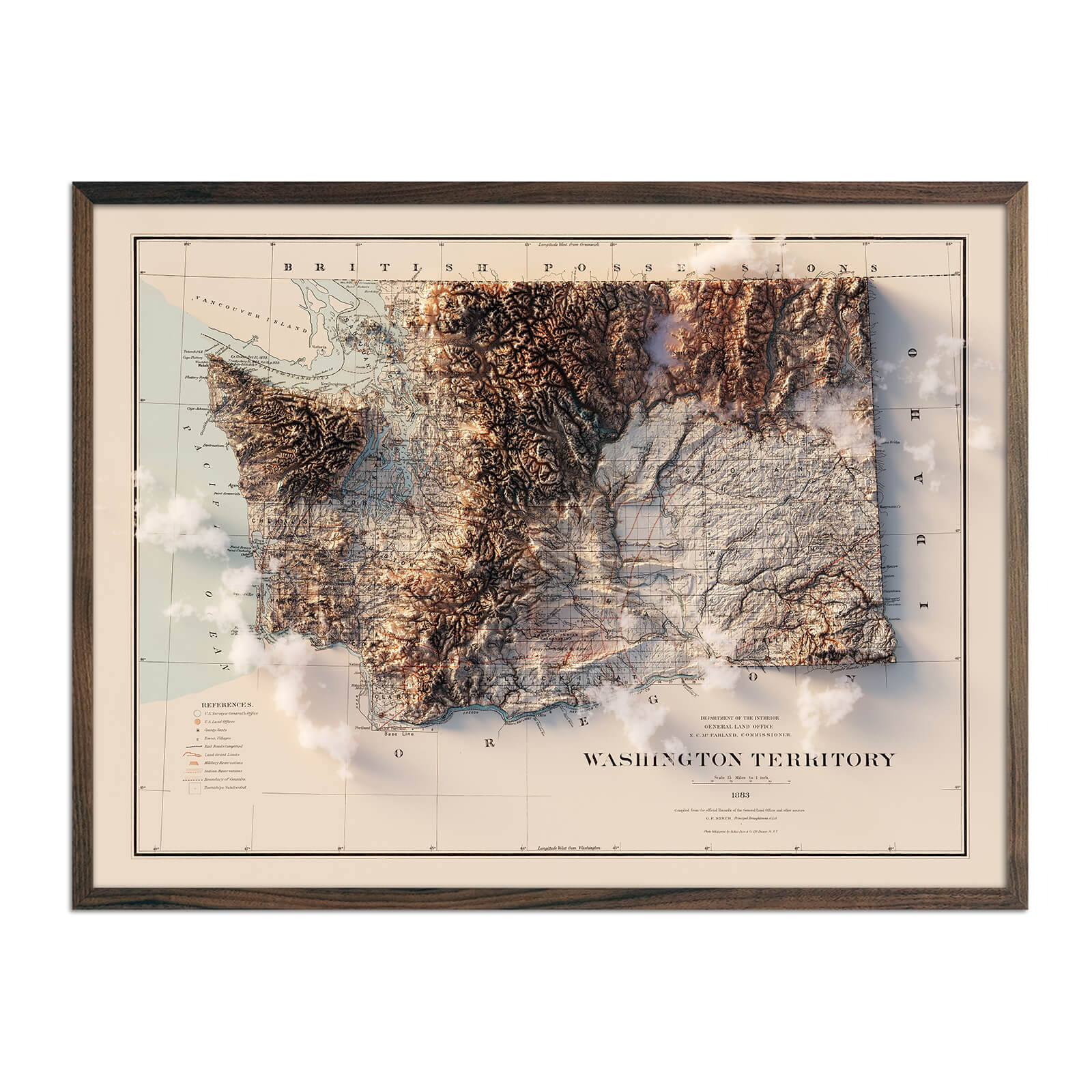
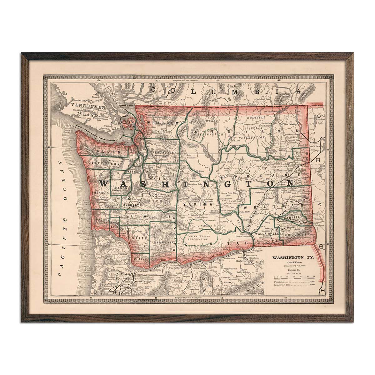
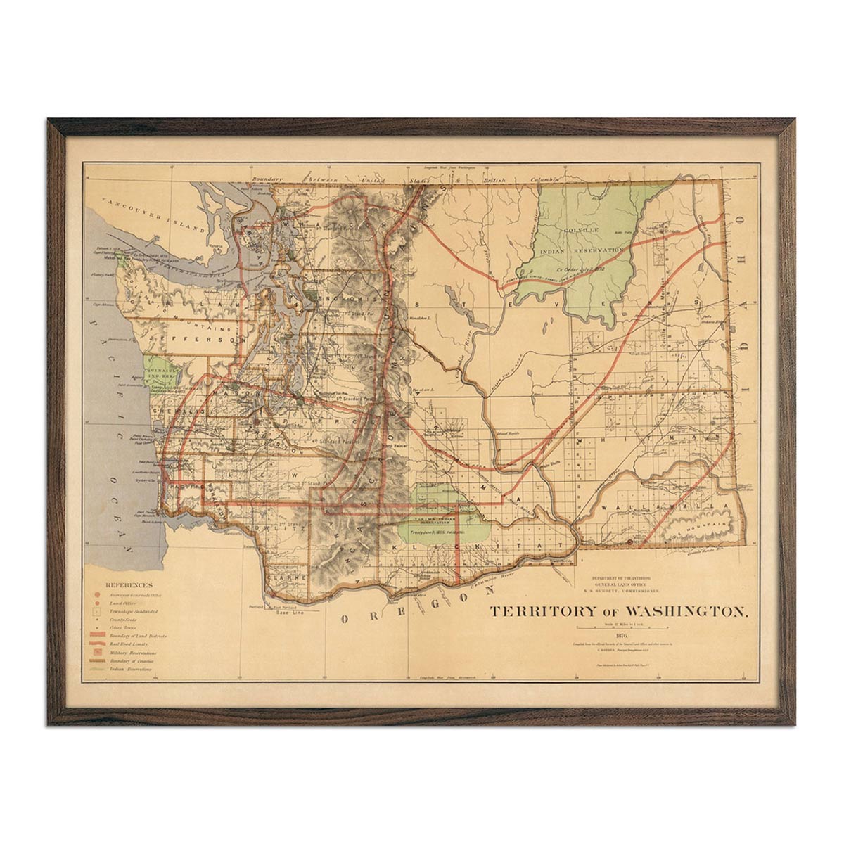
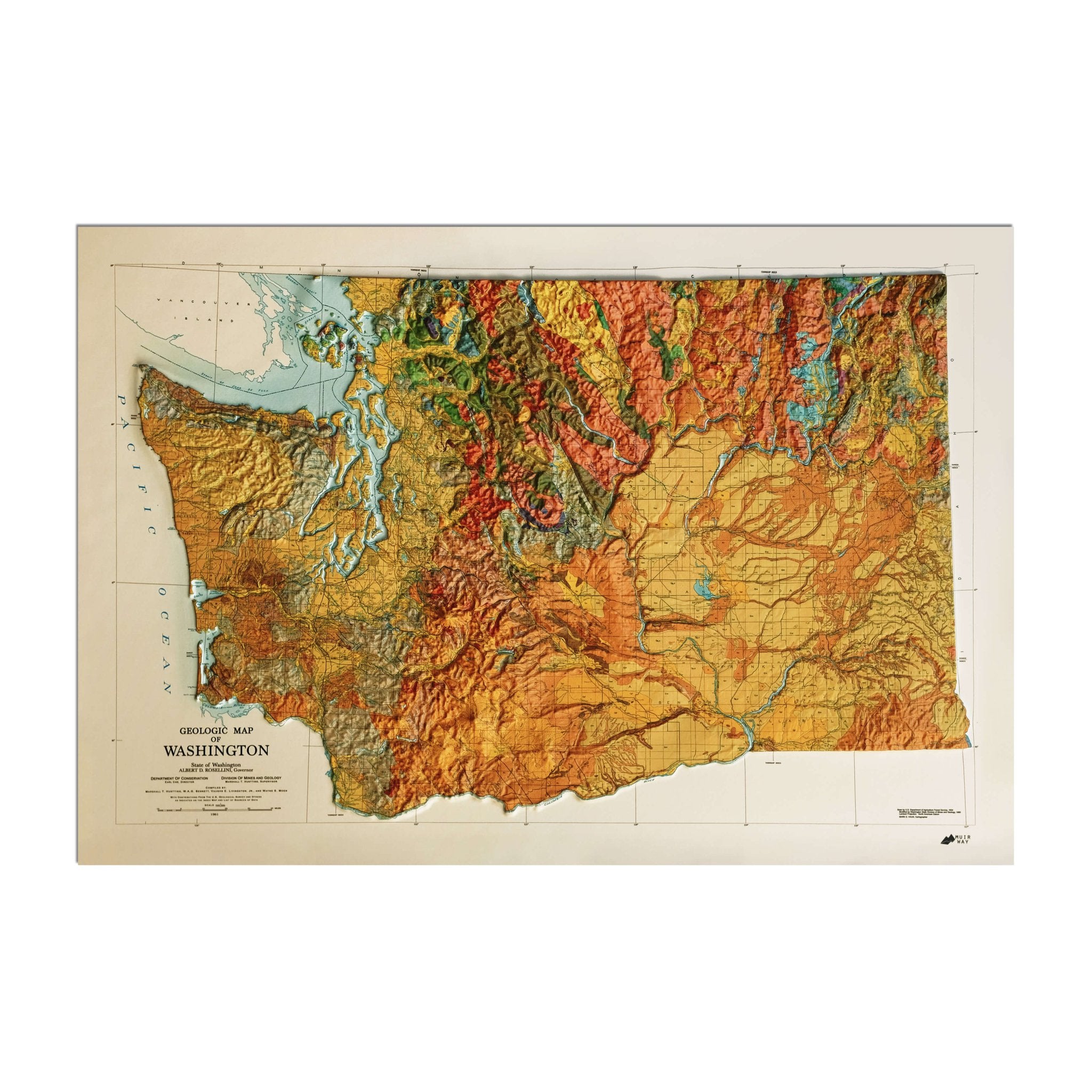
In 1853, Washington became a separate territory, splitting from the Oregon Territory, and later achieved statehood in 1889 as the 42nd state in the Union. One of the earliest historical charts of the area is the Washington 1883 map, drafted by George Cram and originally published in Cram's Unrivaled Family Atlas of the World.
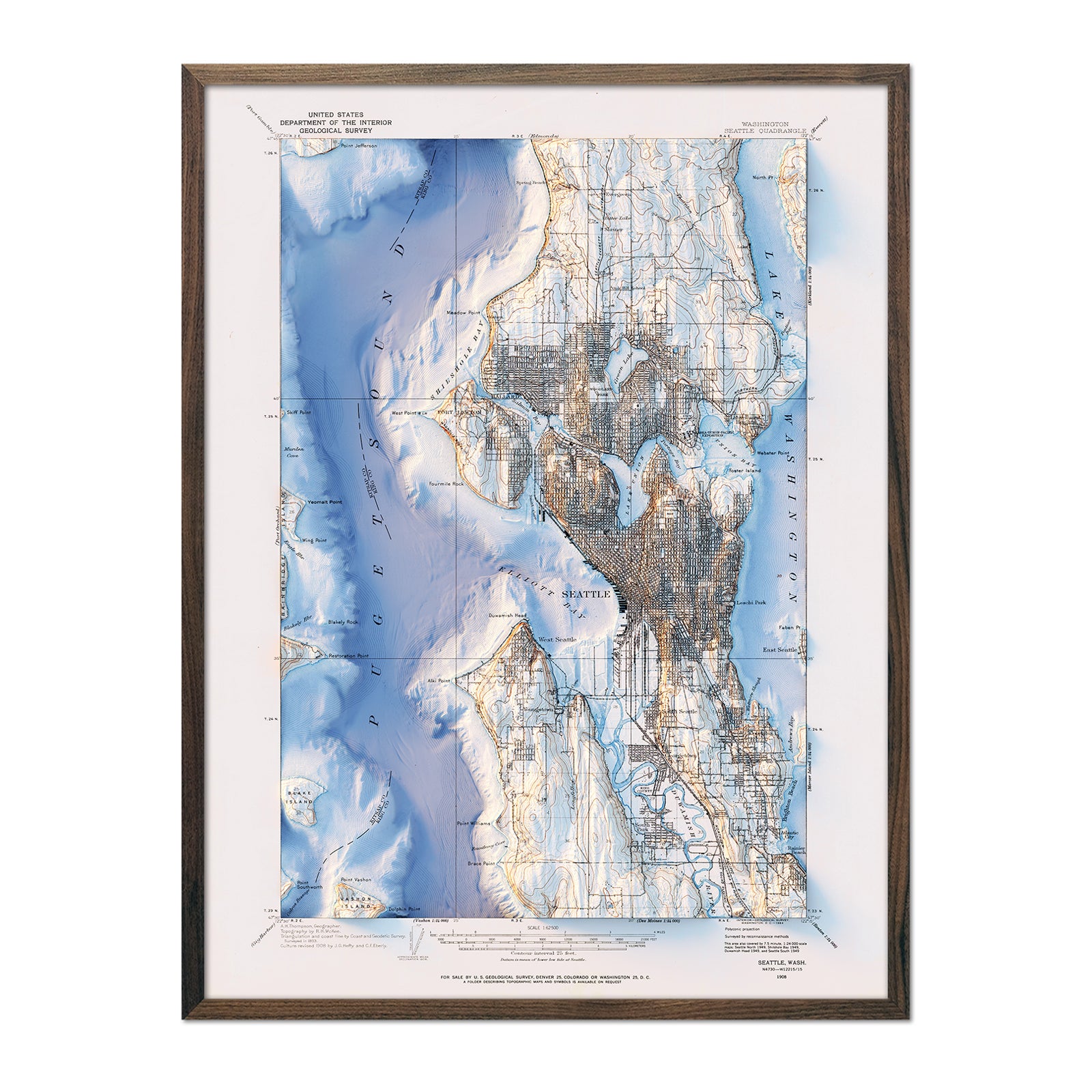
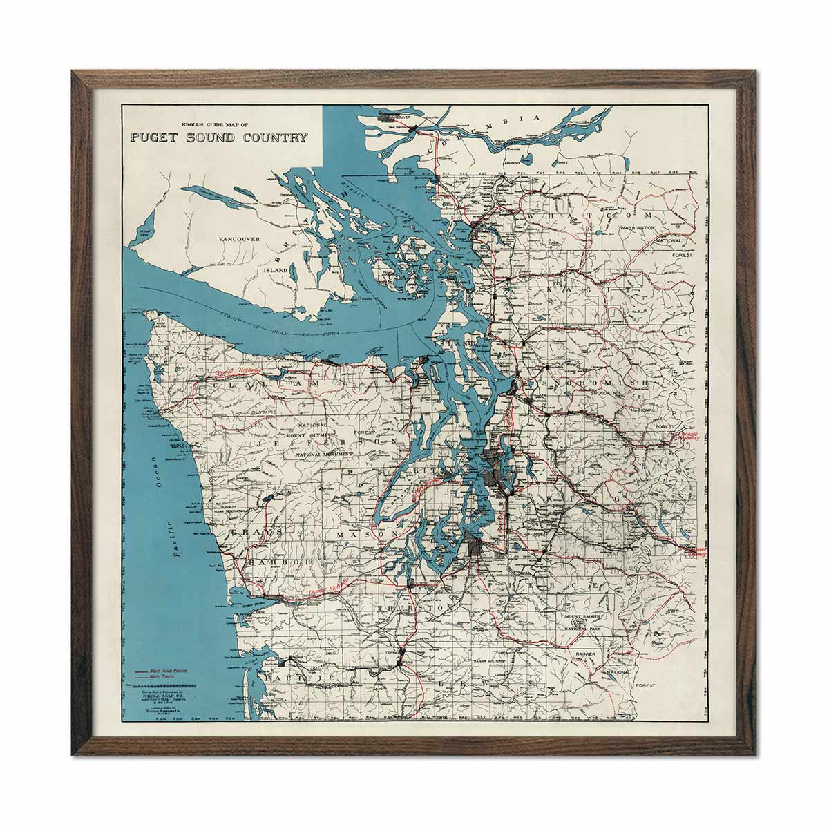
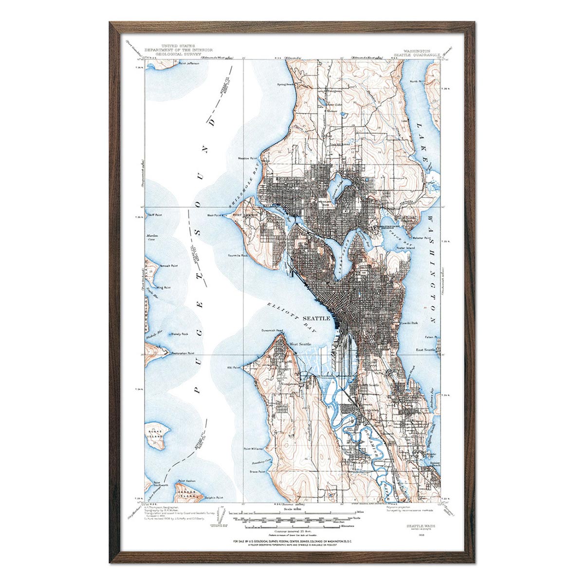
Some of the vintage and shaded relief maps in this collection explore this time period, including the Washington 1883 map, 1883 shaded relief map, 1876 Washington Territory map, 1982 shaded relief map, and the one-of-a-kind Seattle 1908 shaded relief map.
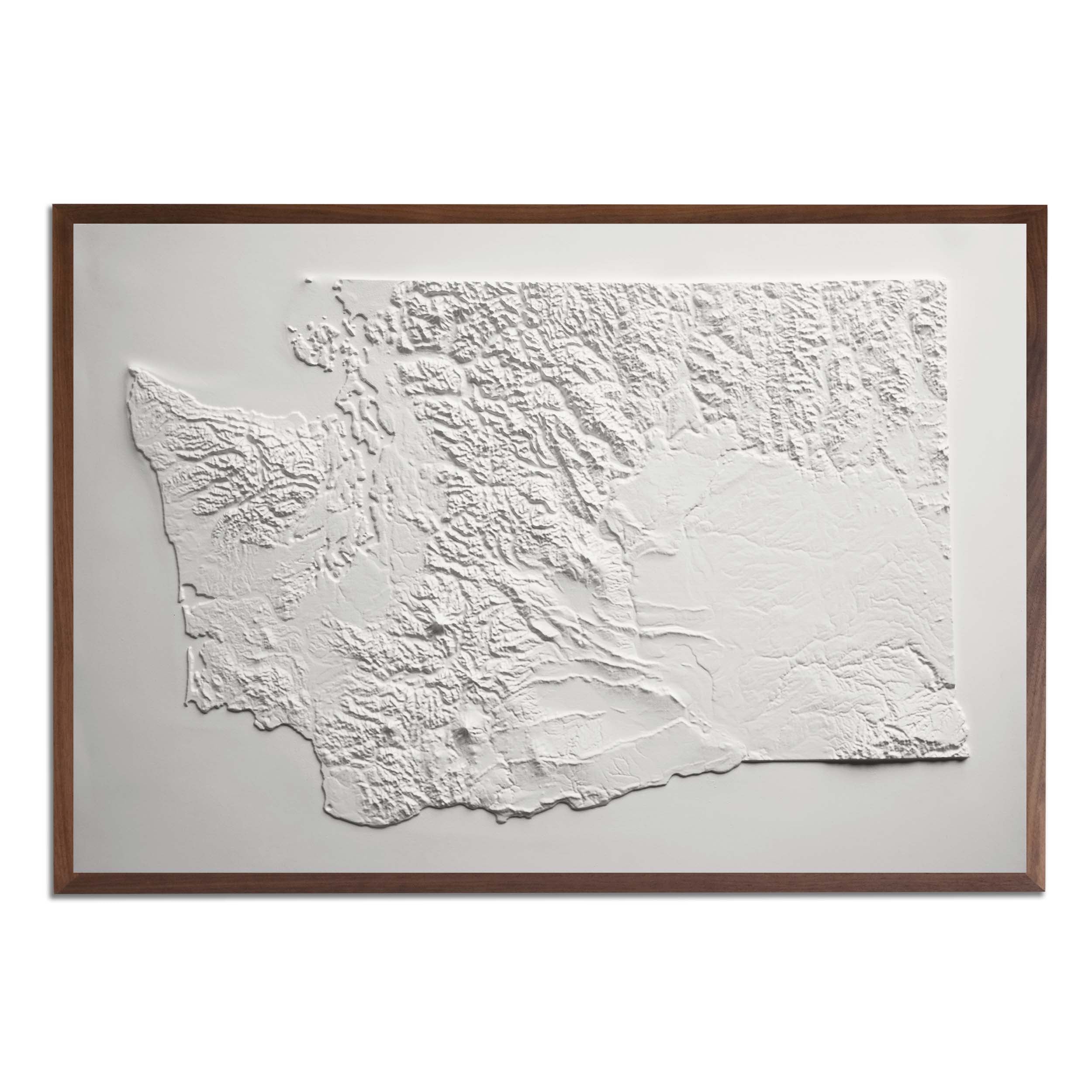
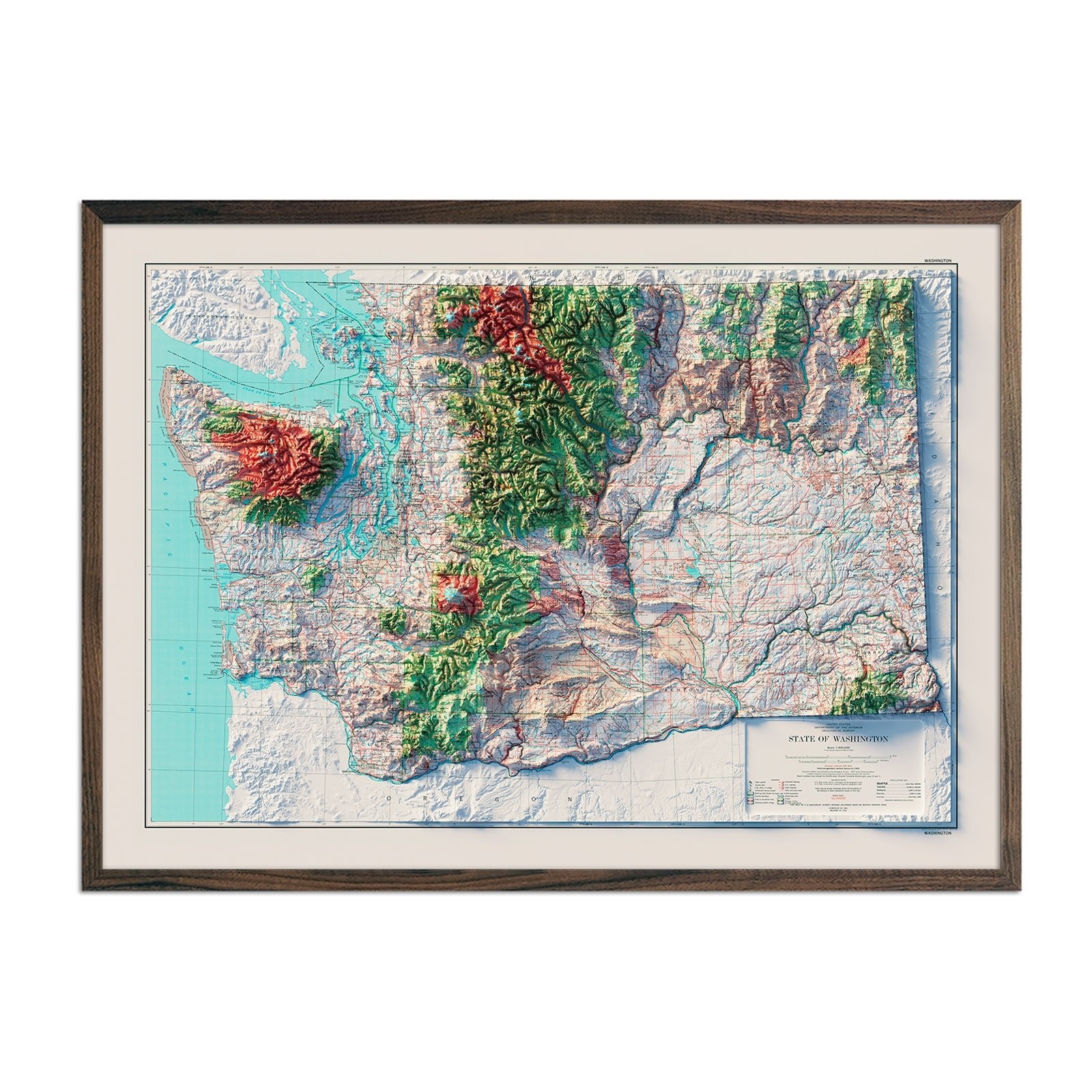
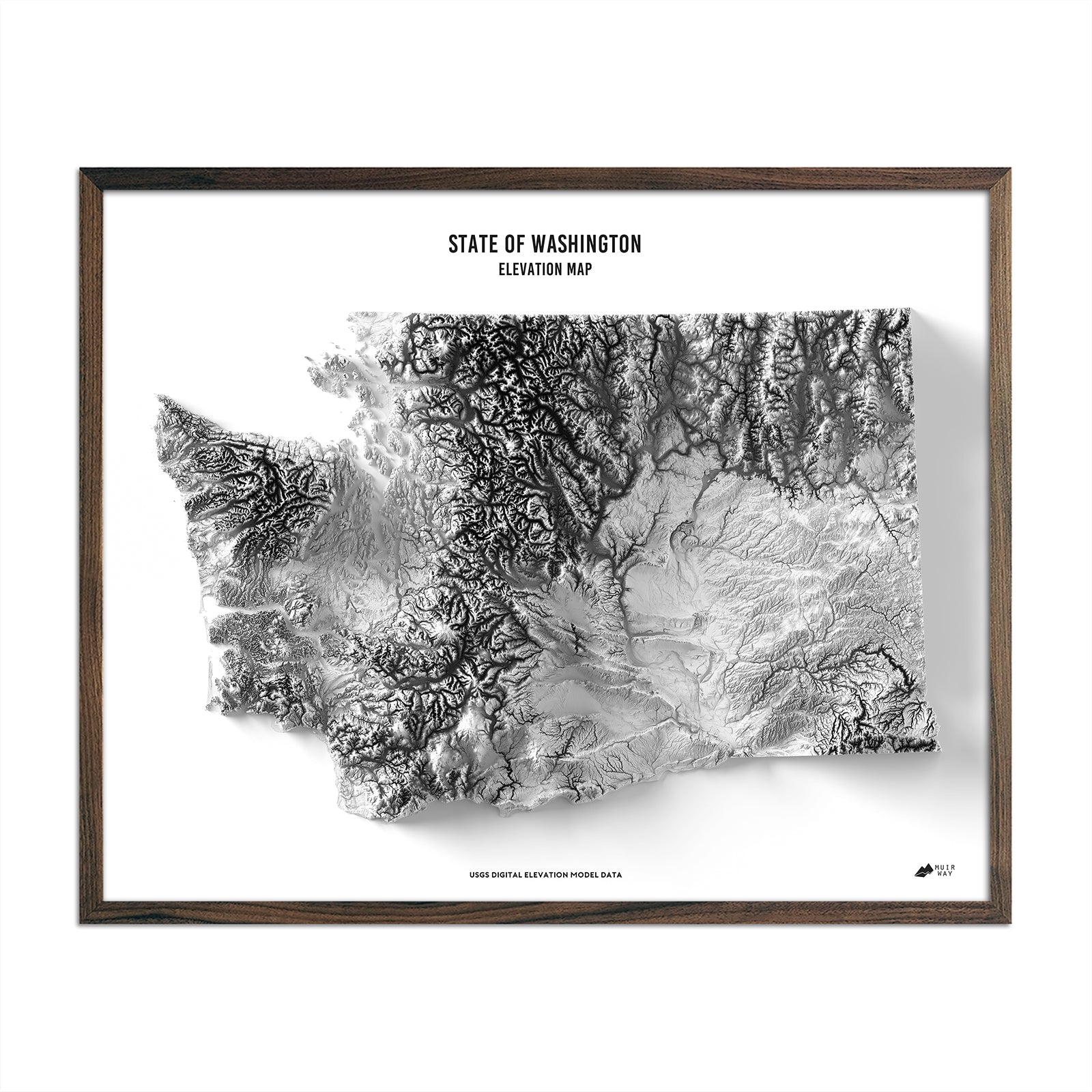
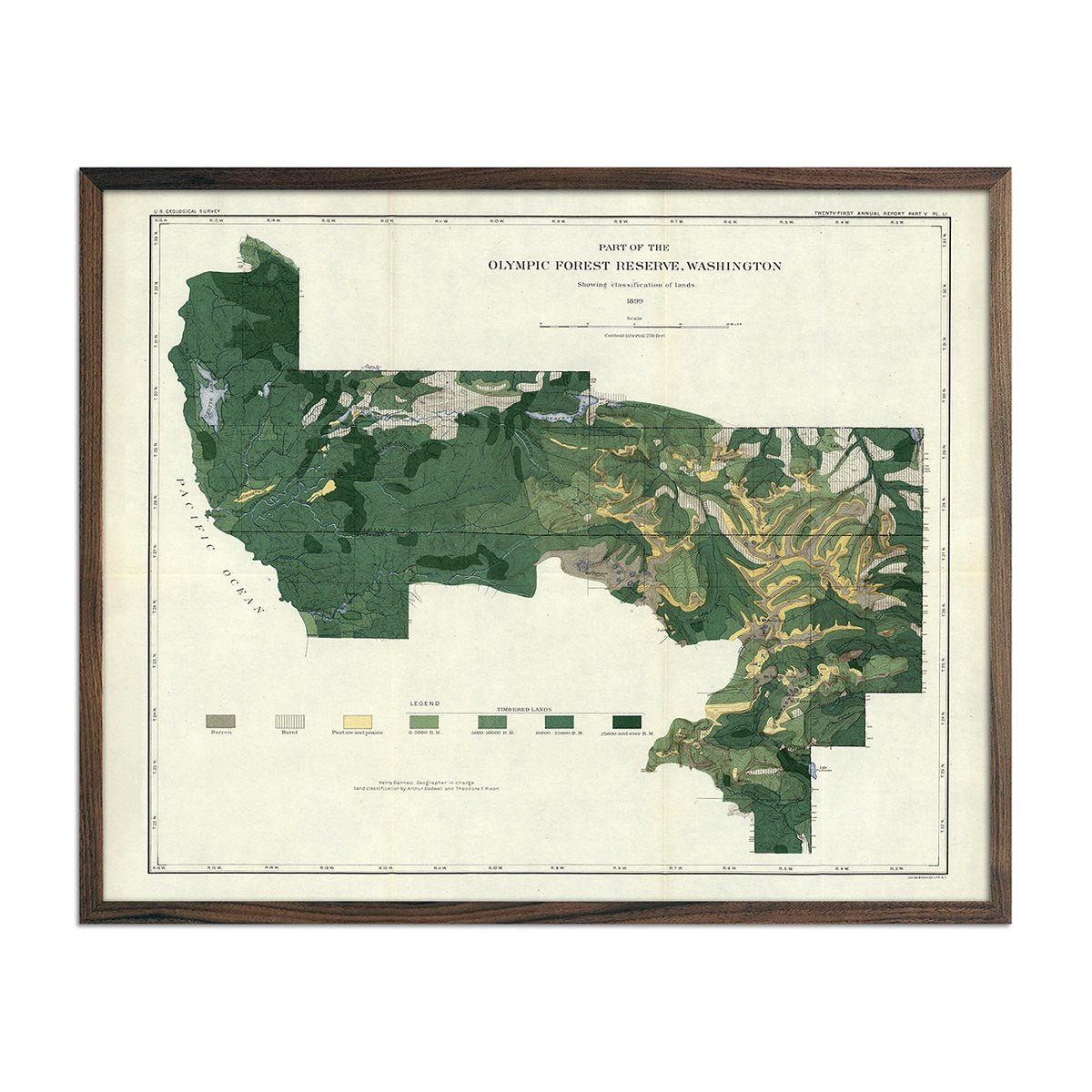
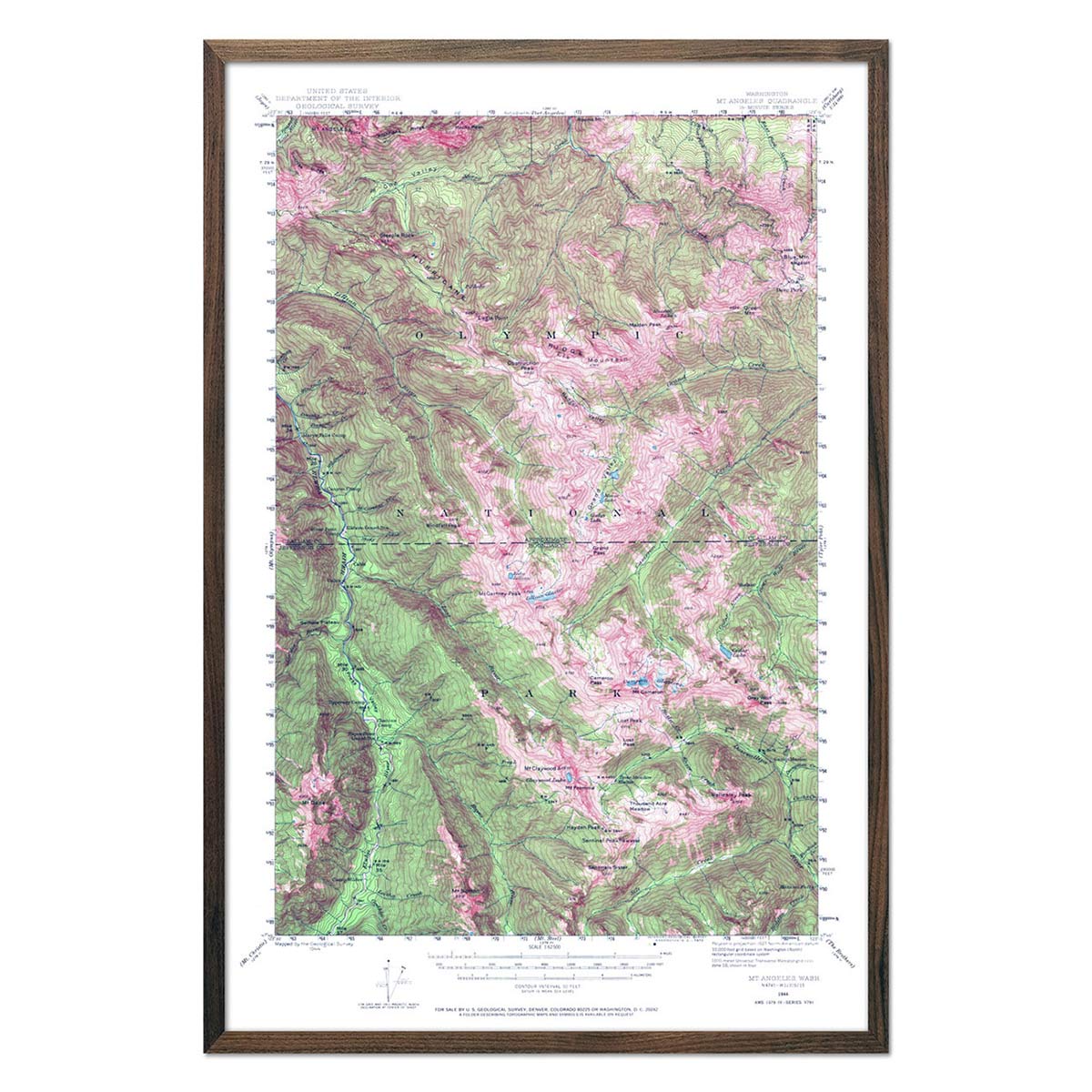
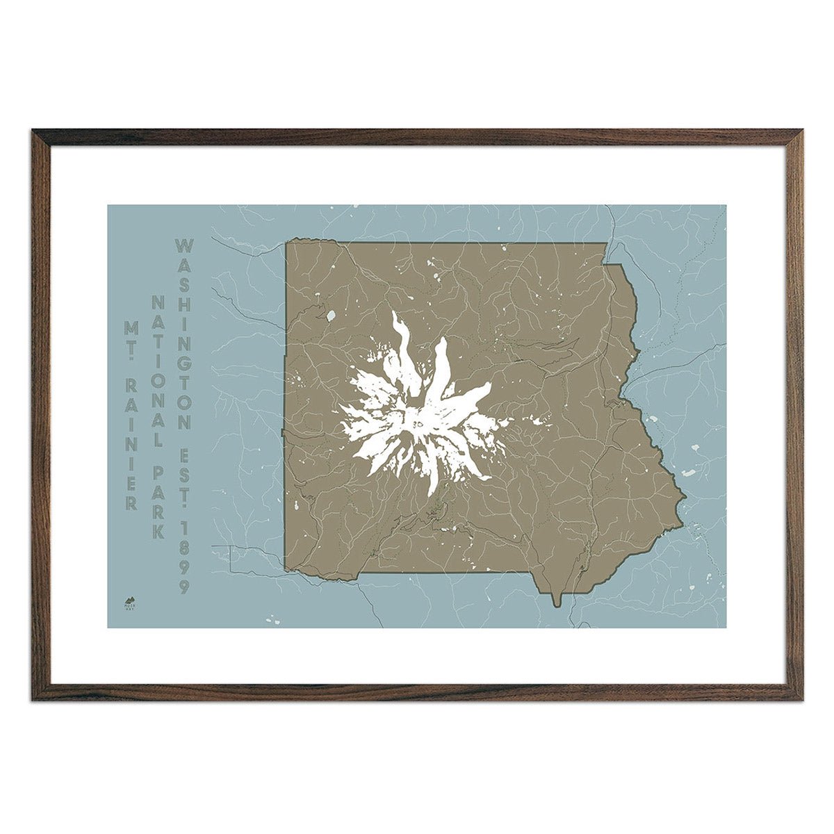
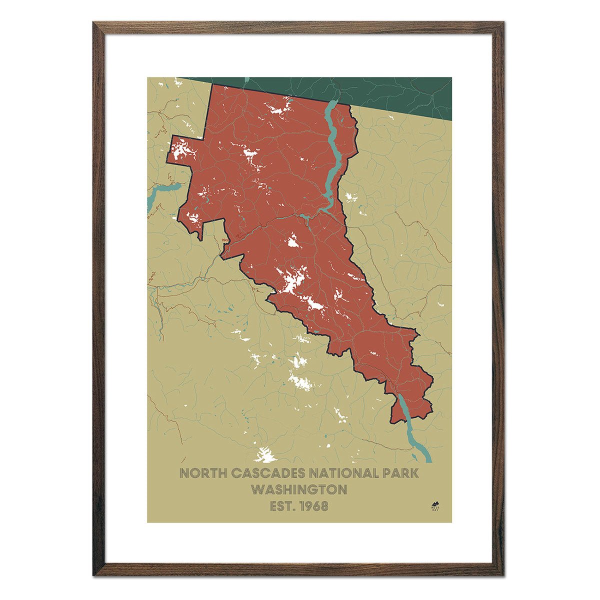
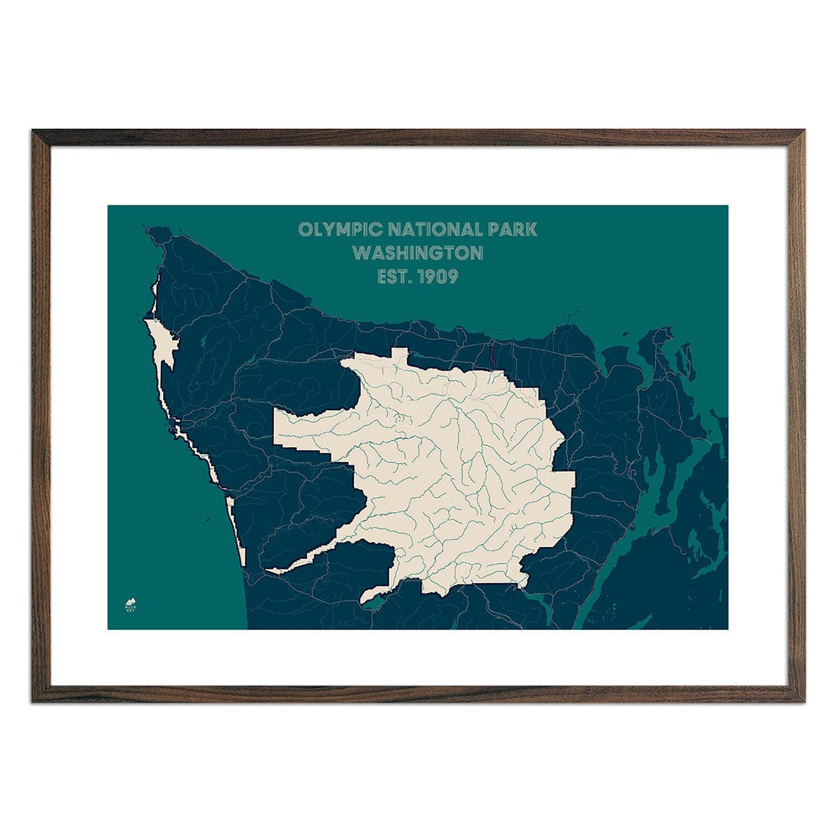
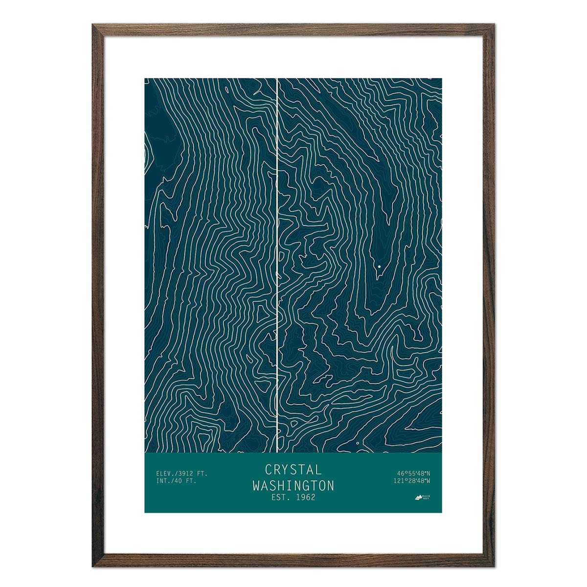
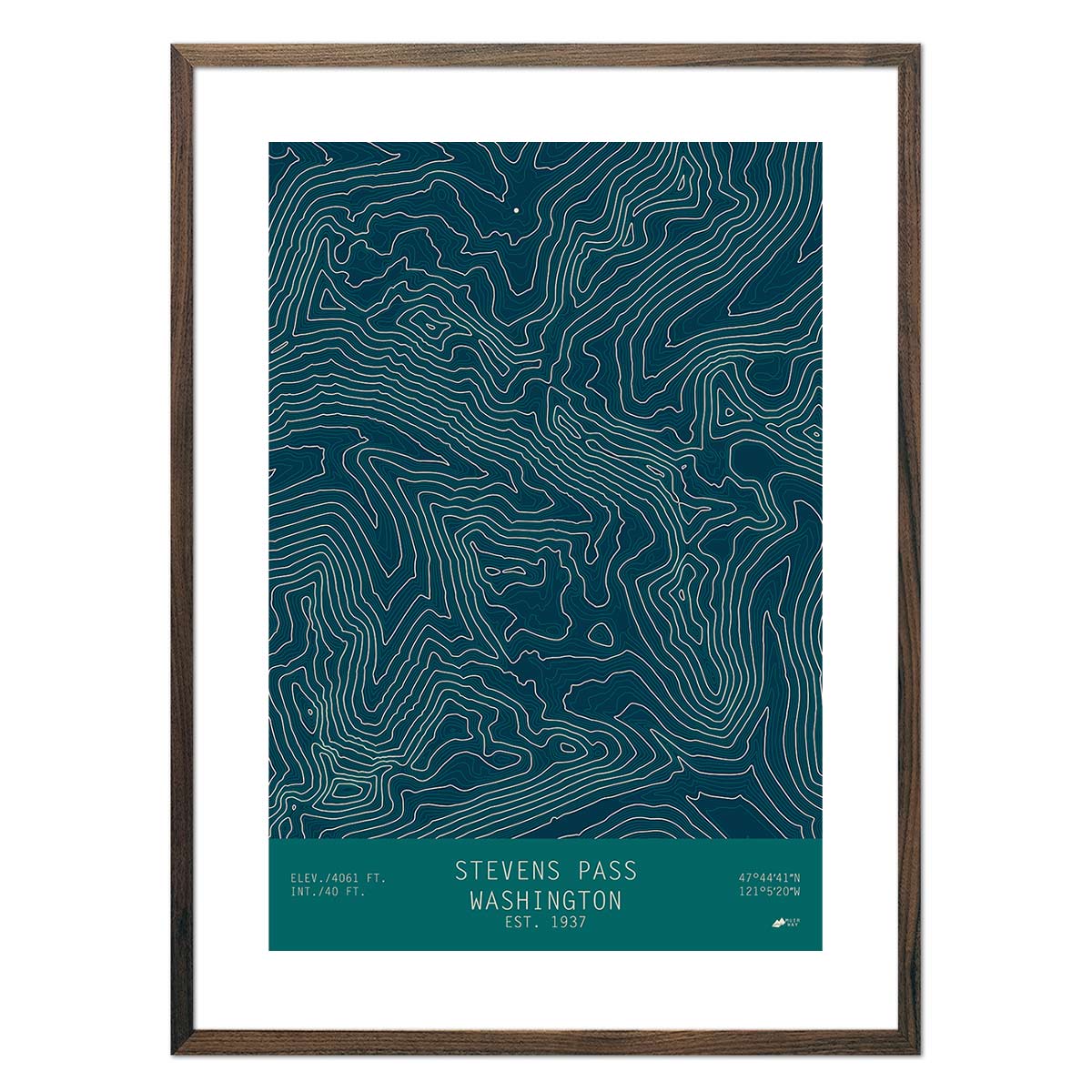
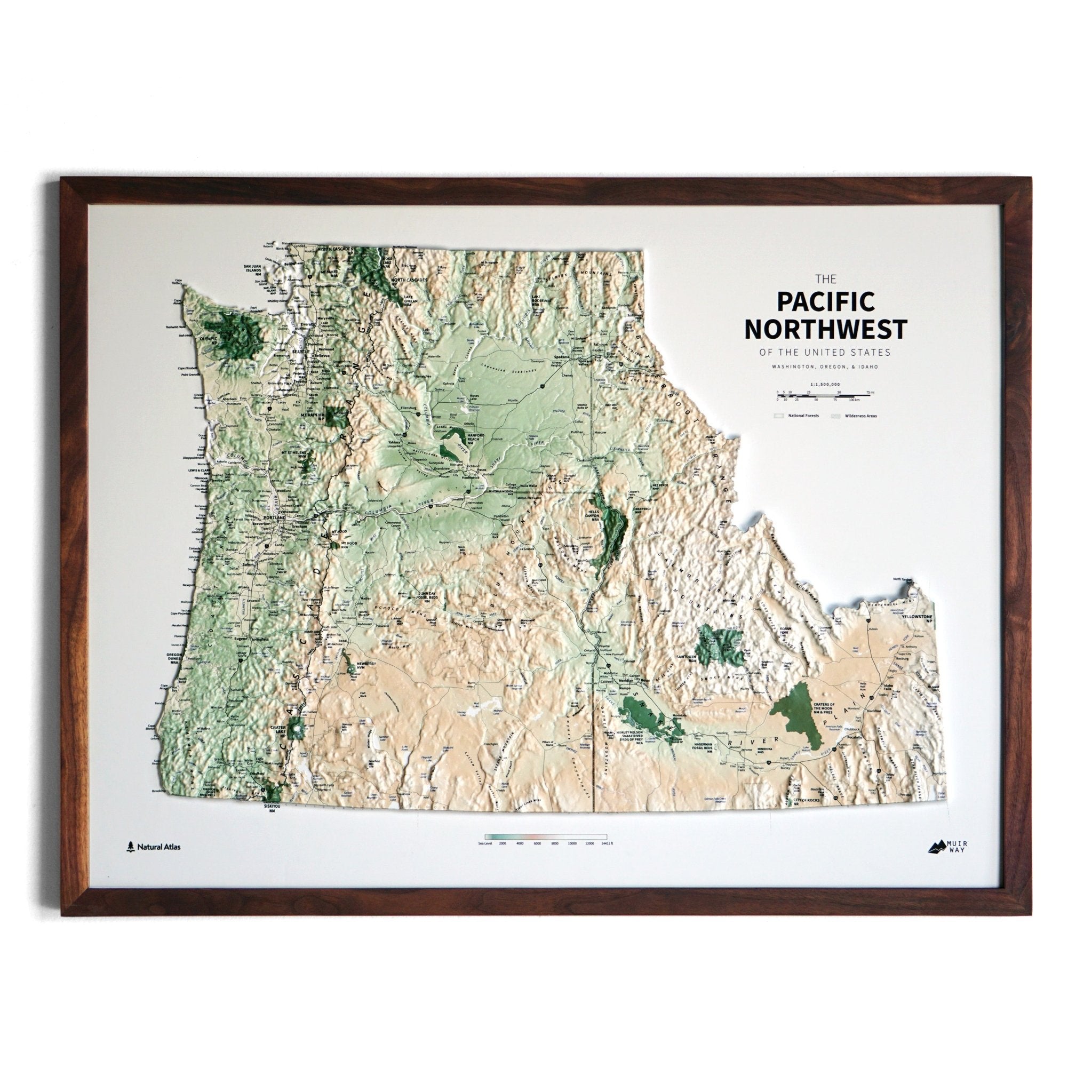
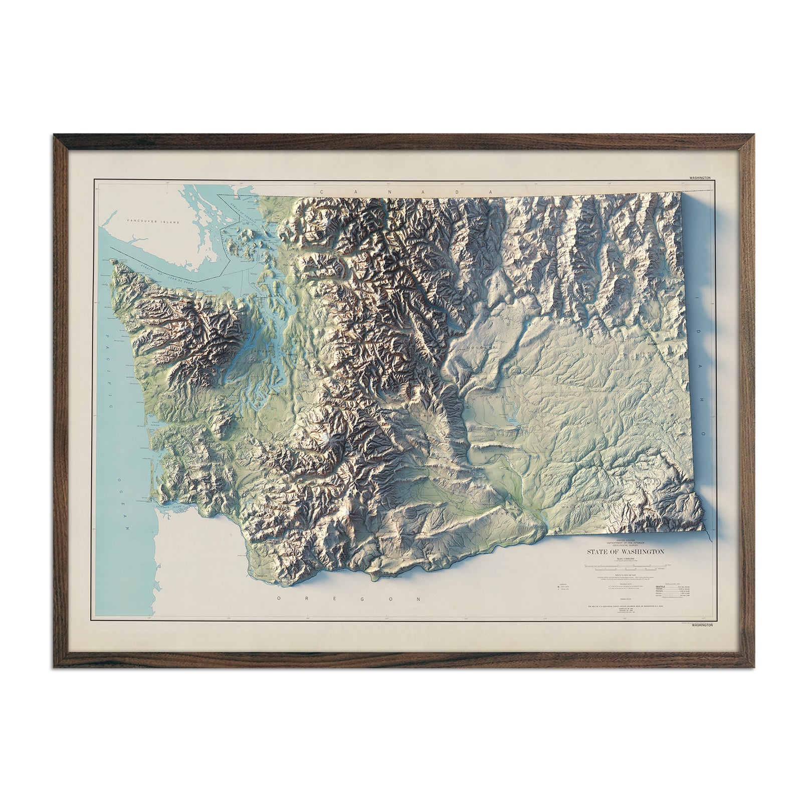
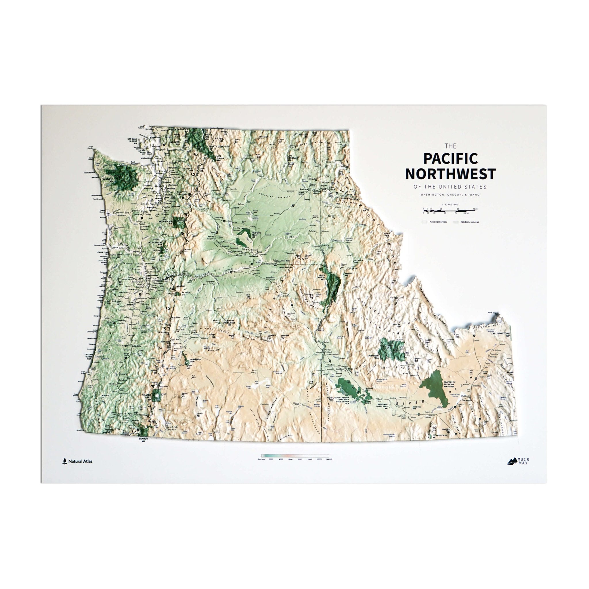
Washington is home to three distinct national parks: Olympic, North Cascades, and Mount Rainier. Each park has its own distinct beauty and is captured in detail in our map prints. Using Digital Elevation Data and digitally shaded relief, we custom enhance vintage maps to create a 3D effect on a 2D surface, which brings these national parks to life.
Our Mount Olympus shaded relief map showcases a diverse topography featuring rugged peaks, alpine meadows, and ancient forests. It's surrounded by glaciers, creating a dynamic environment of crevices and changing pathways
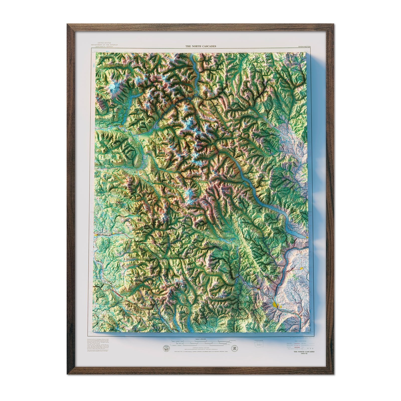
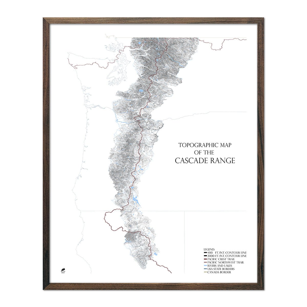
The North Cascades mountain range in Washington State is characterized by rugged peaks, deep valleys, dense forests, and extensive alpine glaciers, presenting a pristine and challenging landscape for hikers and mountain climbers. These features are highlighted in our 1979 shaded relief map.
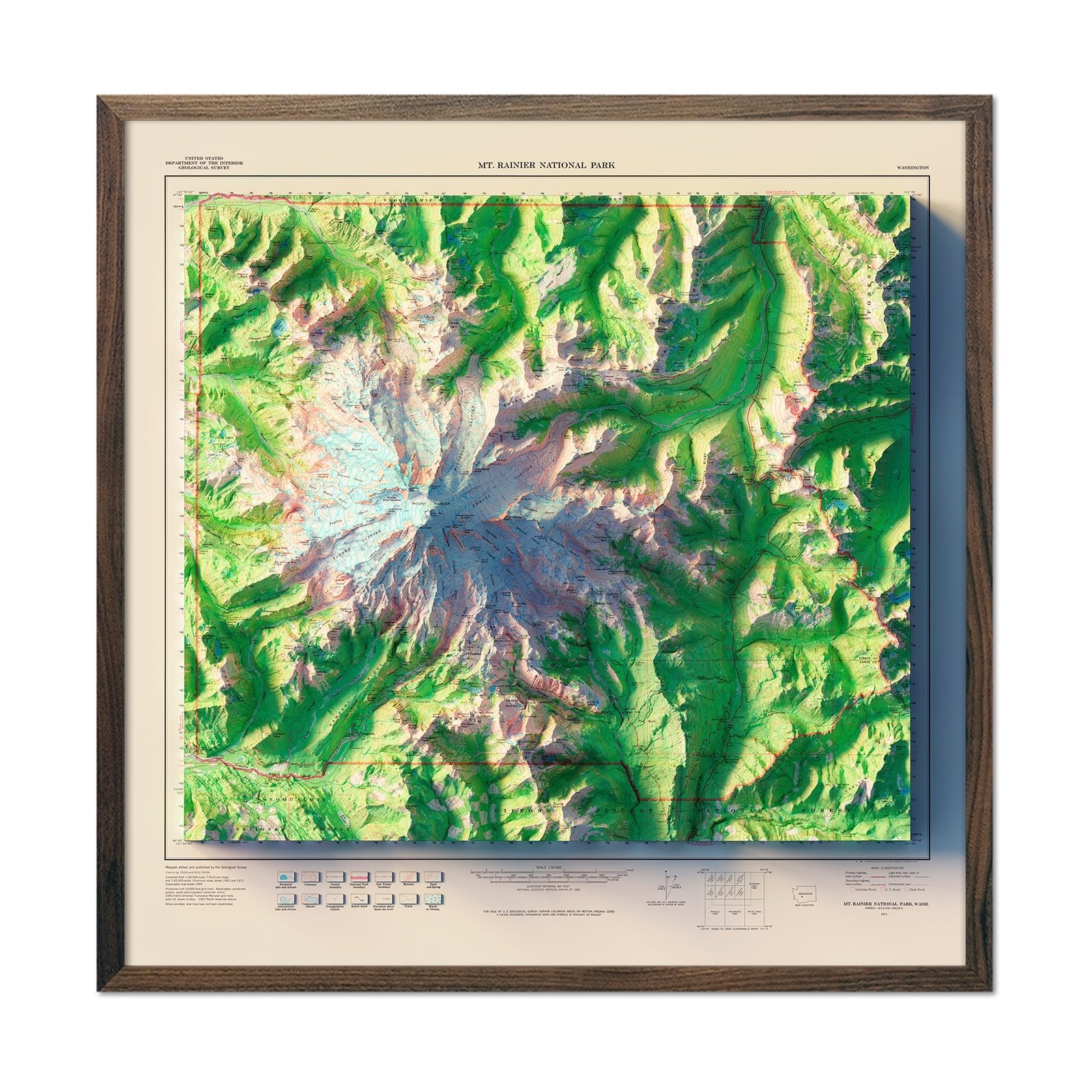
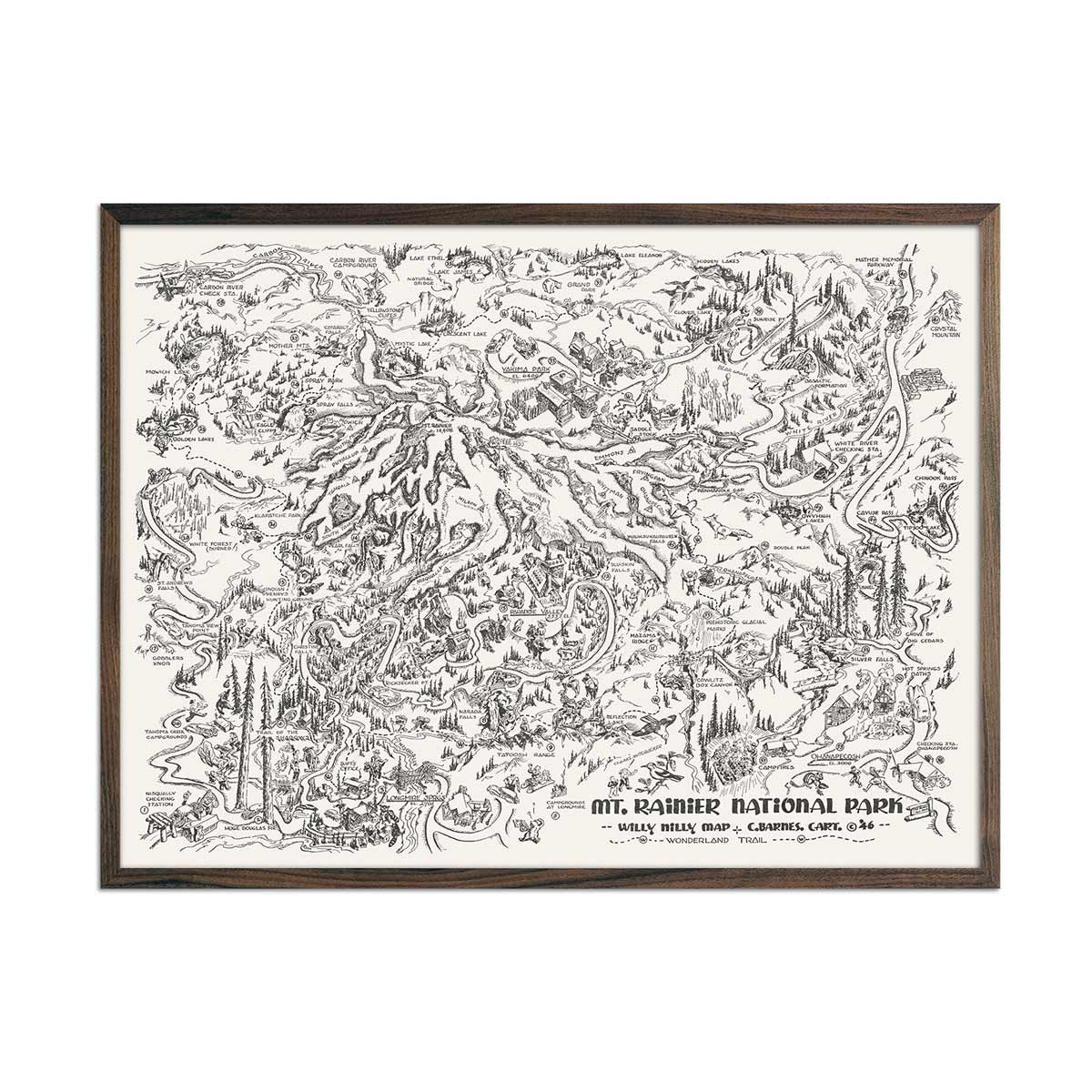
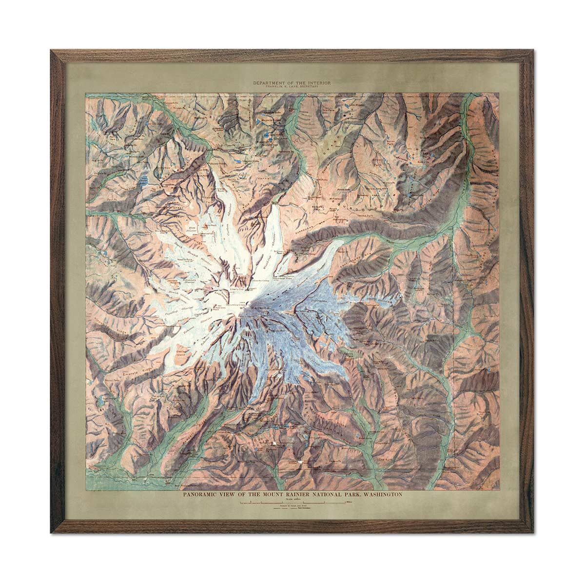
Mount Rainier stands as an iconic stratovolcano and the highest peak in Washington state, reaching 14,411 feet, and is renowned for its vast glaciers and vibrant wildflower meadows. It is a visually dominant fixture of the Washington landscape, drawing tourists and mountaineers alike. Our 1971 shade relief map captures the beauty of Rainier with unparalleled accuracy and detail.
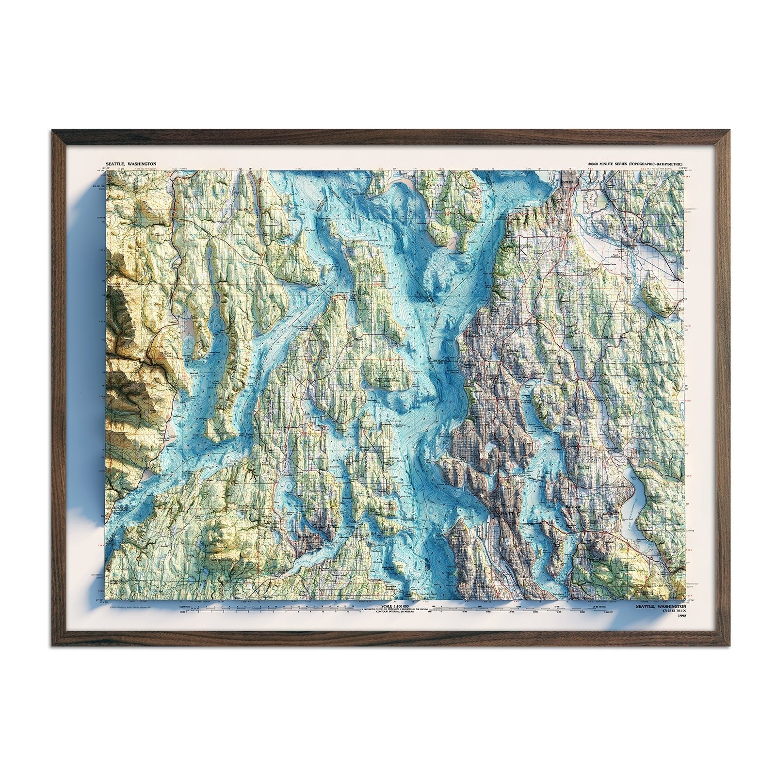
Washington State is home to the stunning Lake Chelan, known for its crystal-clear waters and surrounding vineyards, and Lake Washington, which graces the Seattle area with picturesque vistas and offers a multitude of recreational opportunities.
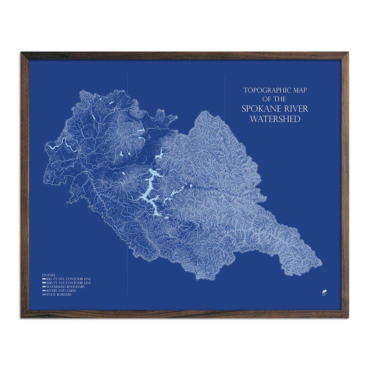
The Columbia River, the largest river in the Pacific Northwest, plays a vital economic and cultural role in the region, offering breathtaking landscapes and habitats for a diverse range of wildlife. Another notable river is the Spokane River, a tributary of the Columbia, winding through Eastern Washington and offering a range of recreational activities, including whitewater rafting and scenic parks along its banks.
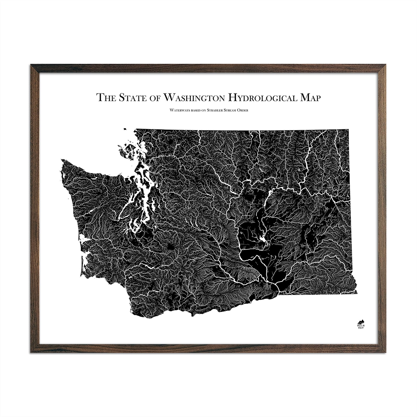
Our hydrological maps showcase the intricate network of waterways, from sprawling lakes to narrow tributaries that flow into larger rivers. Trace Washington’s waterways on our Washington Hydrology Series map, and you’ll see every river and lake in the state. We apply a method called the Strahler Stream Order to show the hierarchy of streams as they flow from their source, with rivers shown thicker as they acquire the flow of tributaries. Maps are available in black, blue, or green. Want to see the ‘big picture’? See our Pacific Northwest Hydrology Series map.
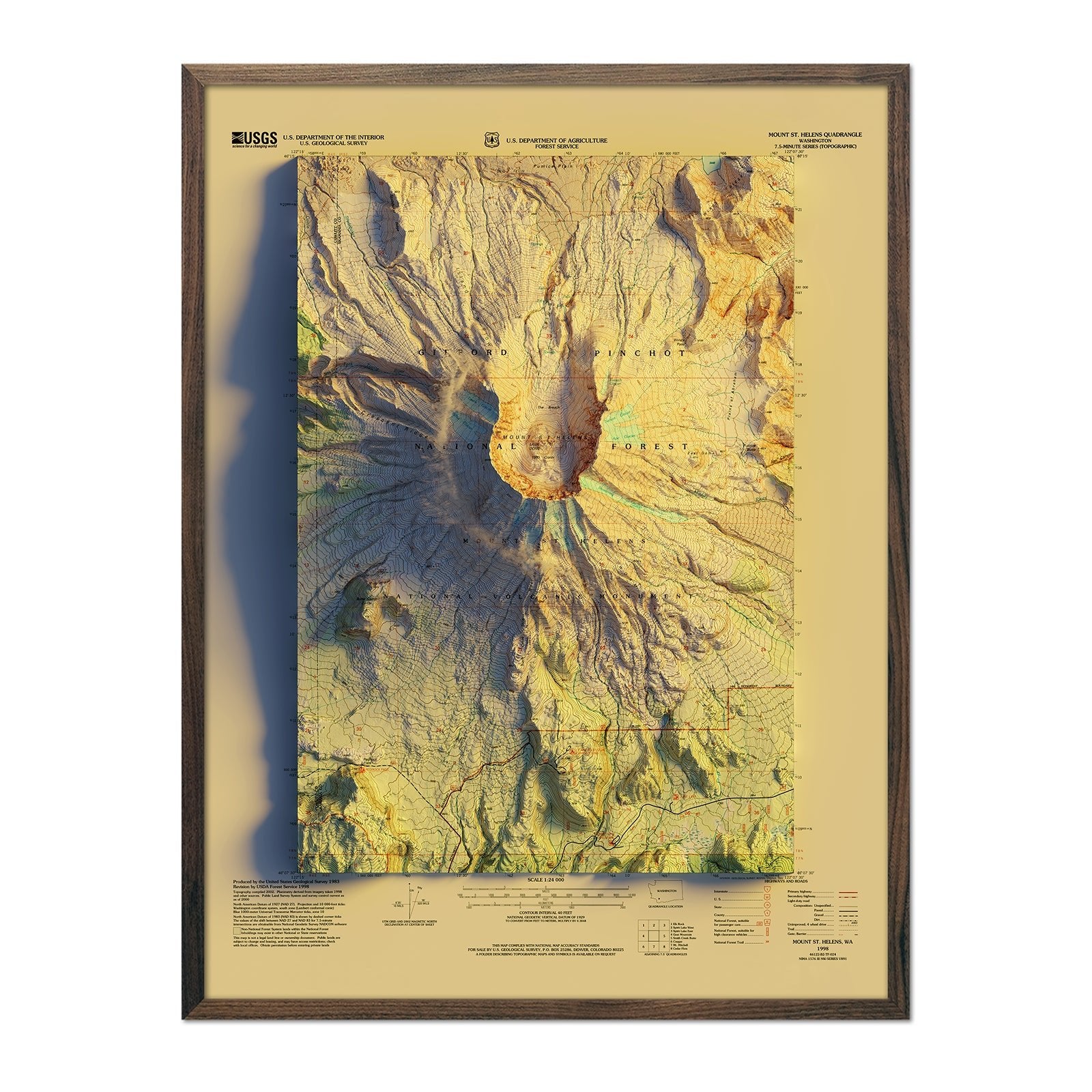
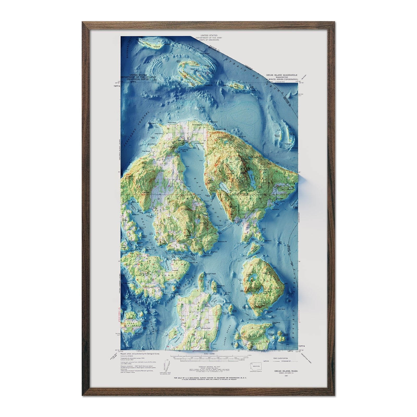
Do a deep-dive into popular Washington destinations with map prints that display Mount St. Helens, Orcas Island, Puget Sound, and Mount Baker.
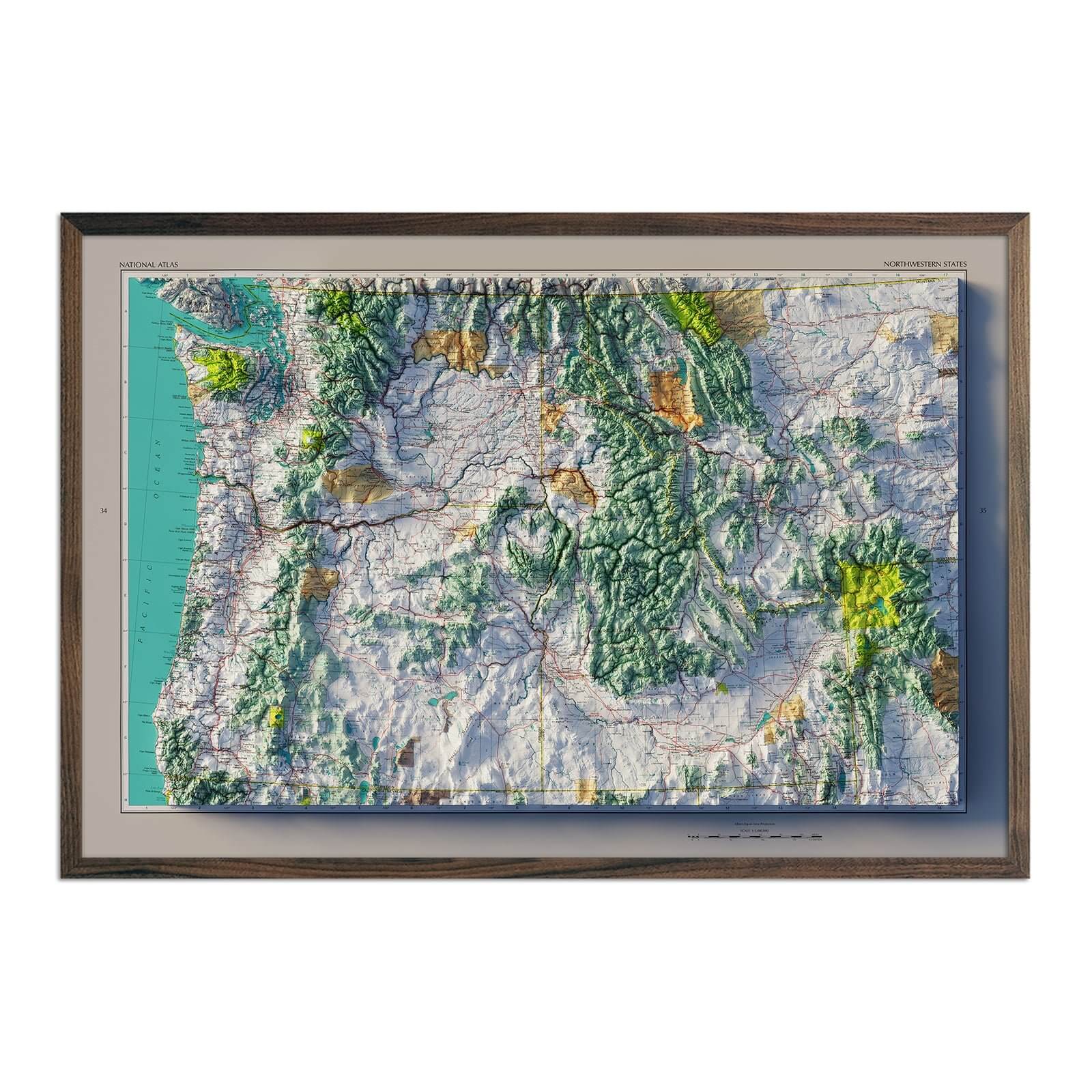
If you like our collection of Washington maps, you may also be interested in maps of other Northwestern states. Click below to browse:
