


Reviewed by Yvonne J.
Verified Buyer
I recommend this product
Age Range
65+
I bought this
For myself
I JUST LOVE IT!
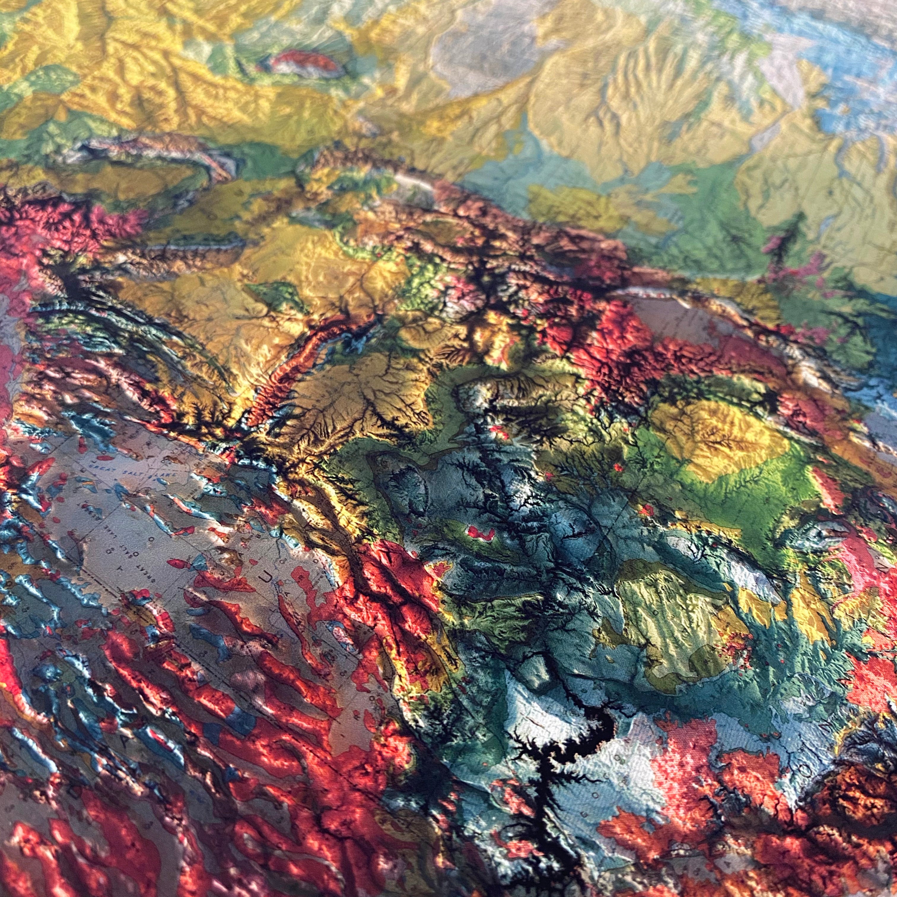
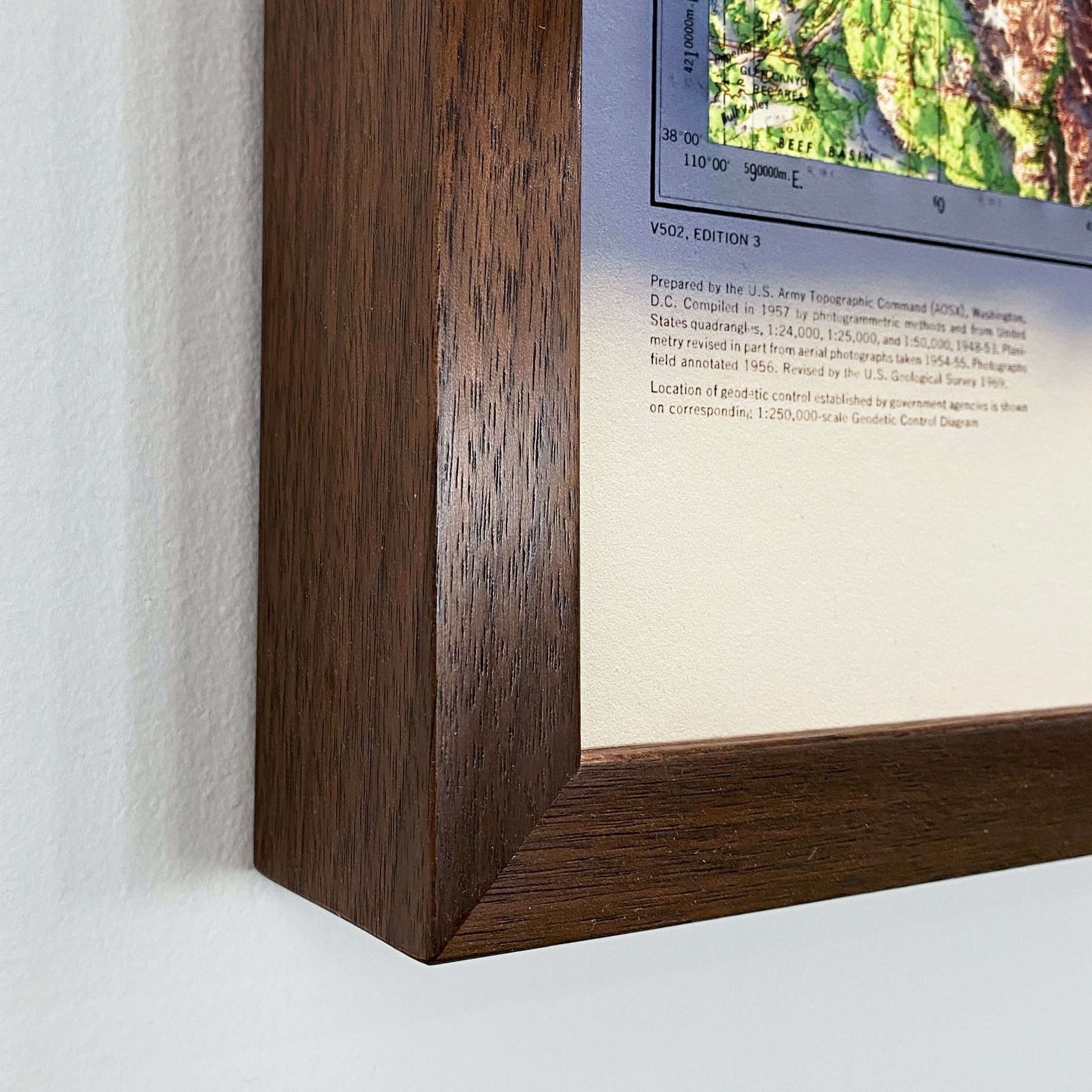
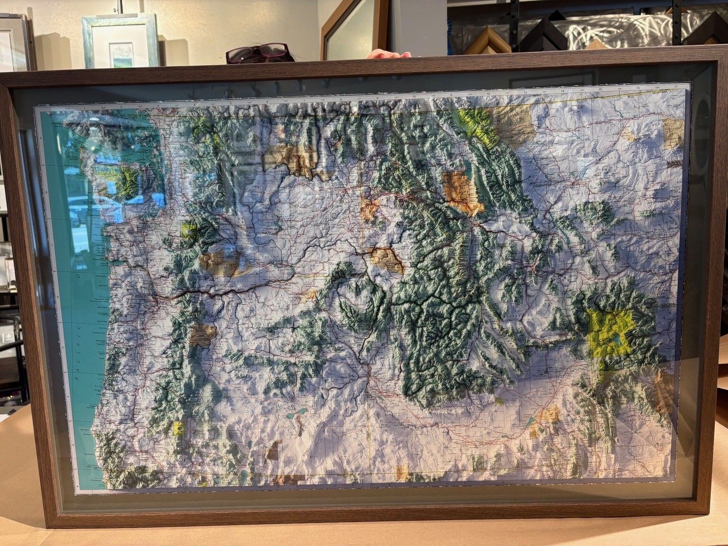
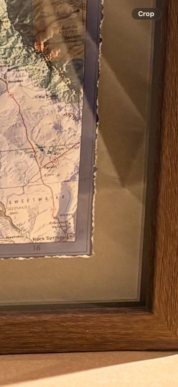
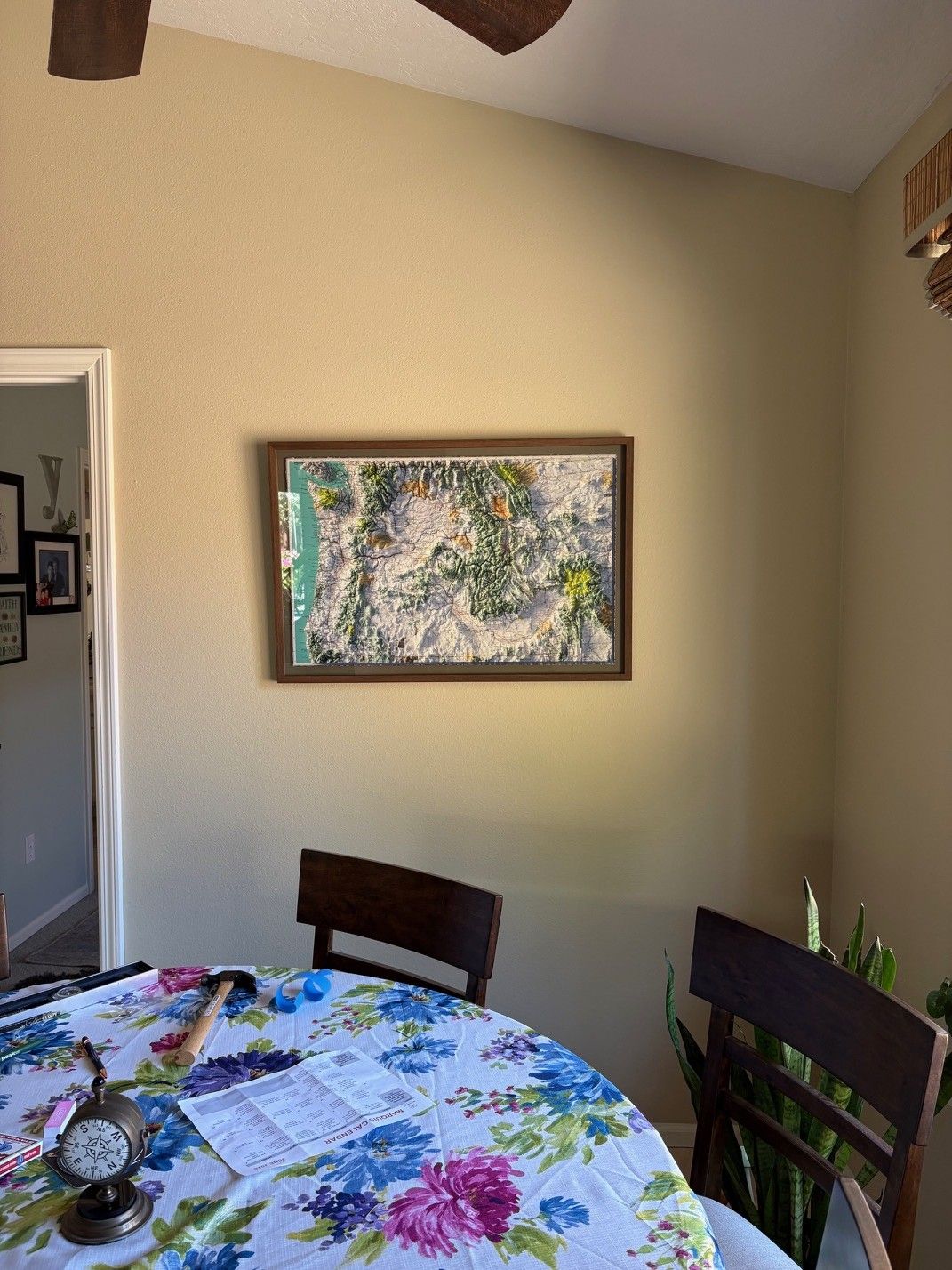
I brought map to a local framing company. Requested they tear the edges and "float" it above matting before picking a nature wood frame. It came out AMAZING! I have it (right where you can see it) hanging in my dining room for all to look at. THANK YOU!
P.S. They were very impressed with the quality of the map! It was a nice heavy duty map.
Loading...
| Map Quality & Detail |
Rated 5 out of 5
|
|---|---|
| Shipping & Customer Service |
Rated 5 out of 5
|
Was this helpful?
