


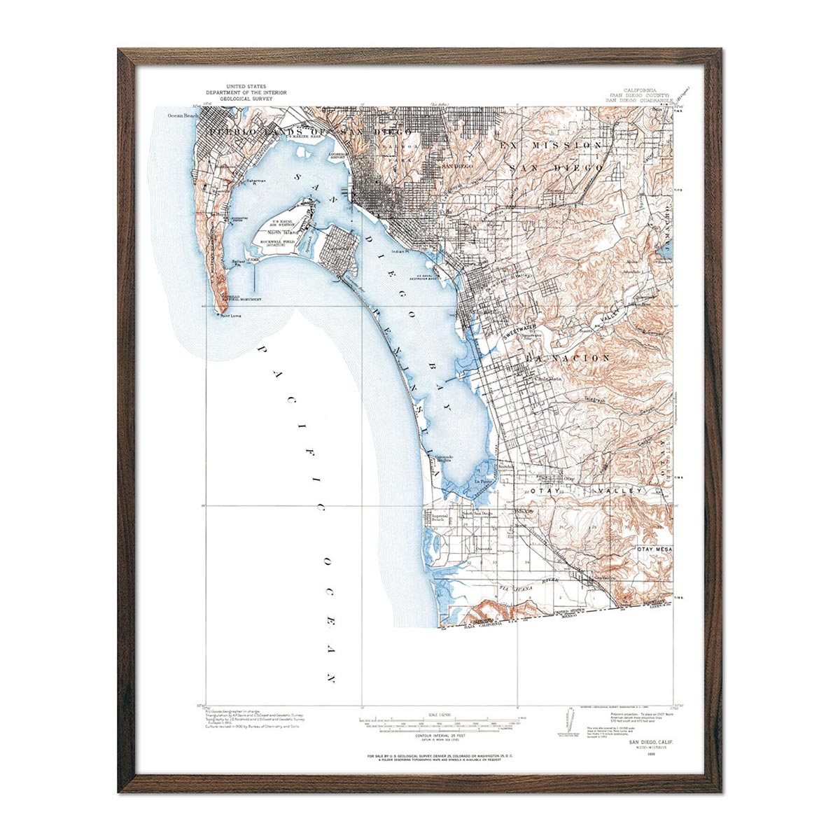
California Map Prints, Elevation & Shaded Relief Maps
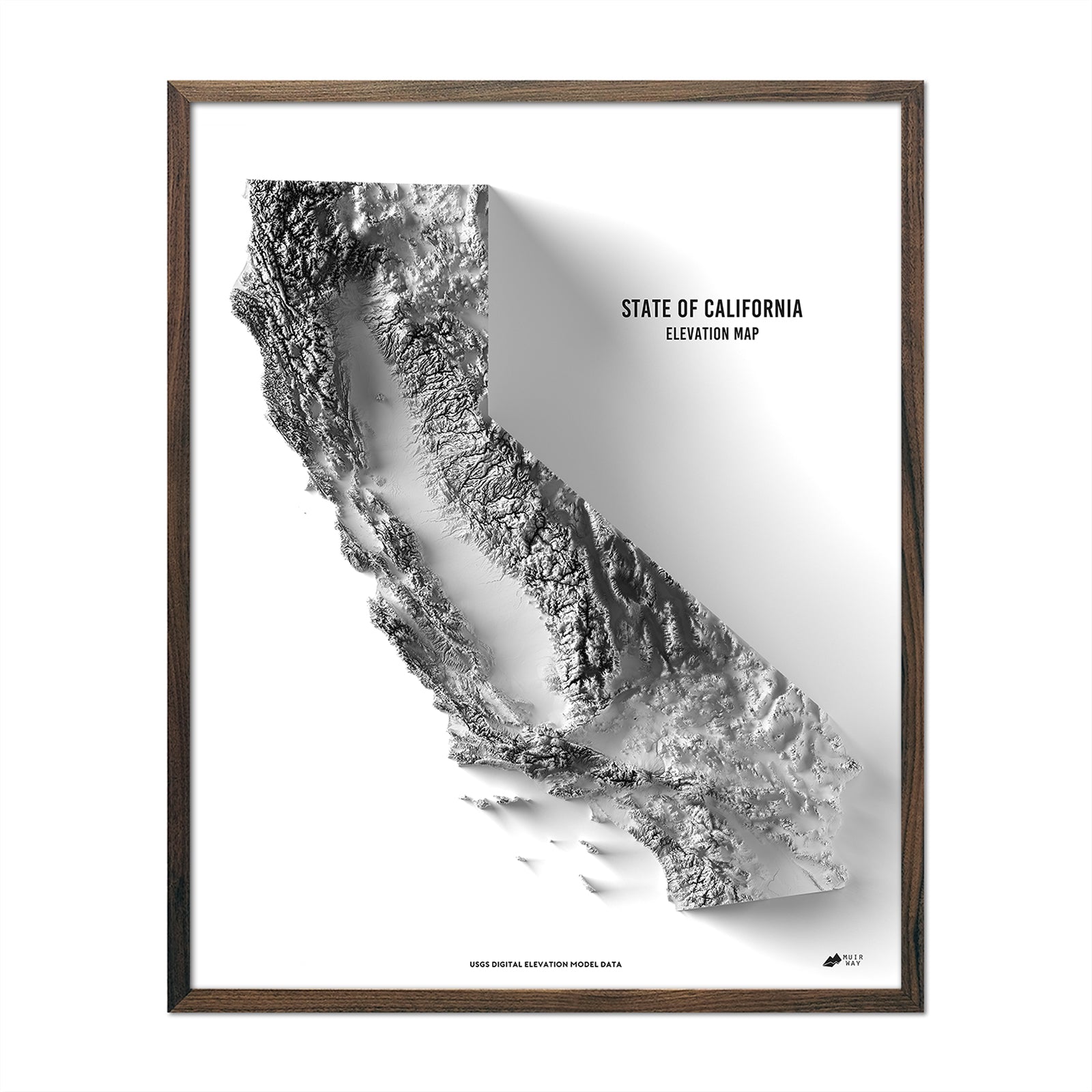
Explore the depths and heights of the Golden State with California map prints from Muir Way. Dive into the rich and diverse California topography, from the towering peaks of the Sierra Nevada to the deep trenches of Death Valley. Our shaded relief, hydrological, and elevation maps bring you closer to the natural wonders of the state, with unparalleled details highlighting the intricate nuances of the terrain.
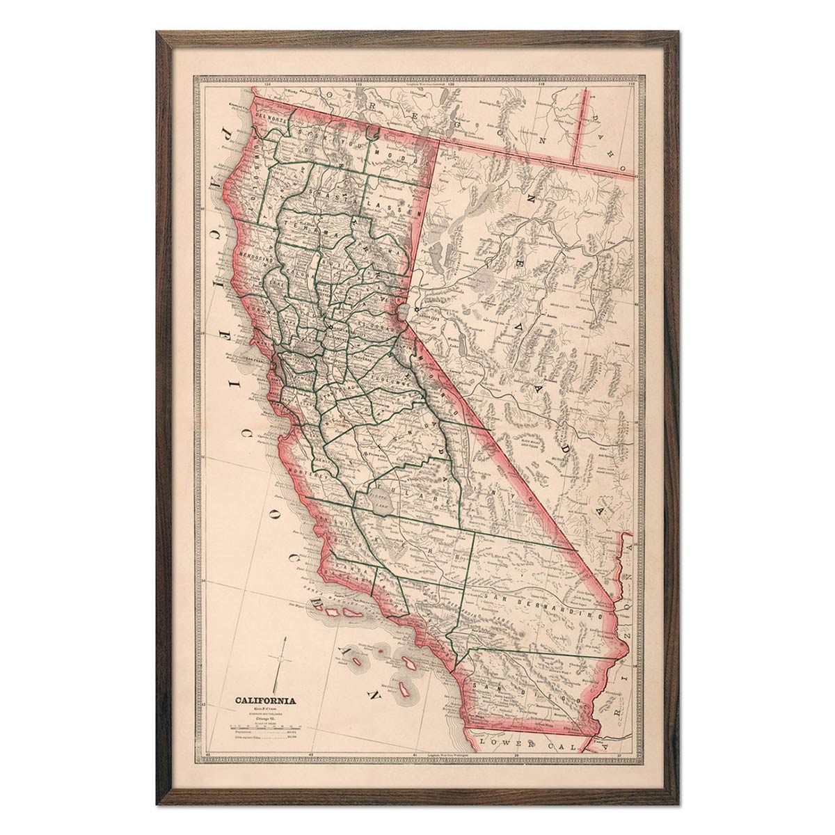
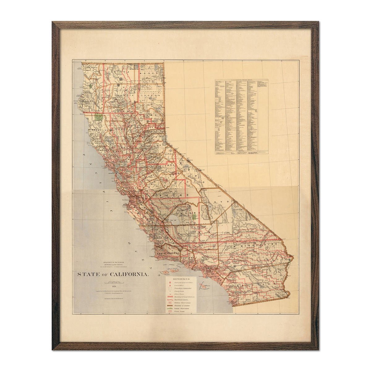
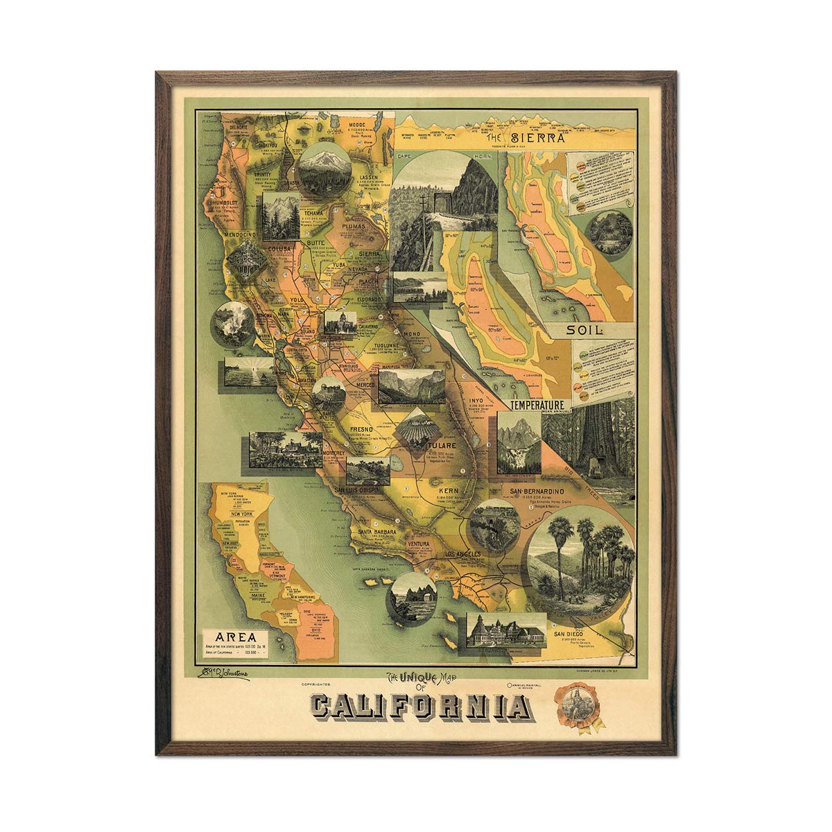
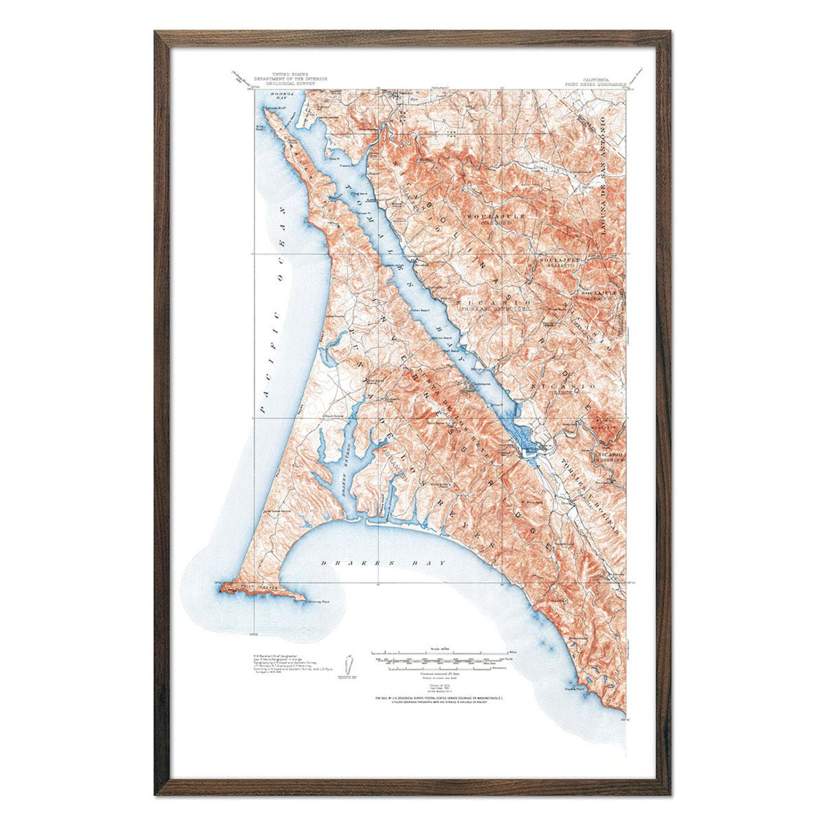
California hosts a range of landscapes from the coastal regions — characterized by picturesque beaches and rugged cliffs — to the fertile valleys such as the Central Valley, which serves as a significant agricultural hub for the nation.
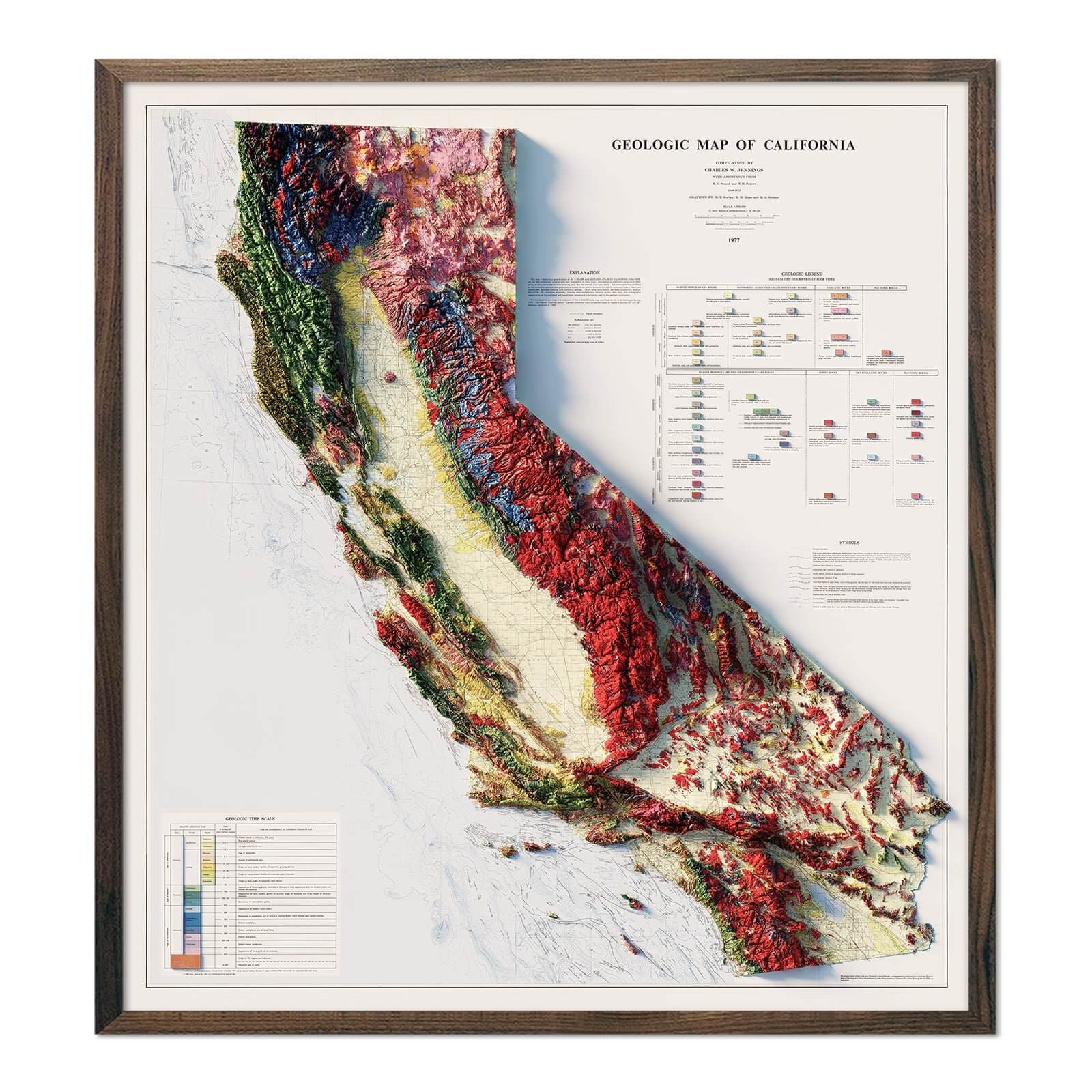
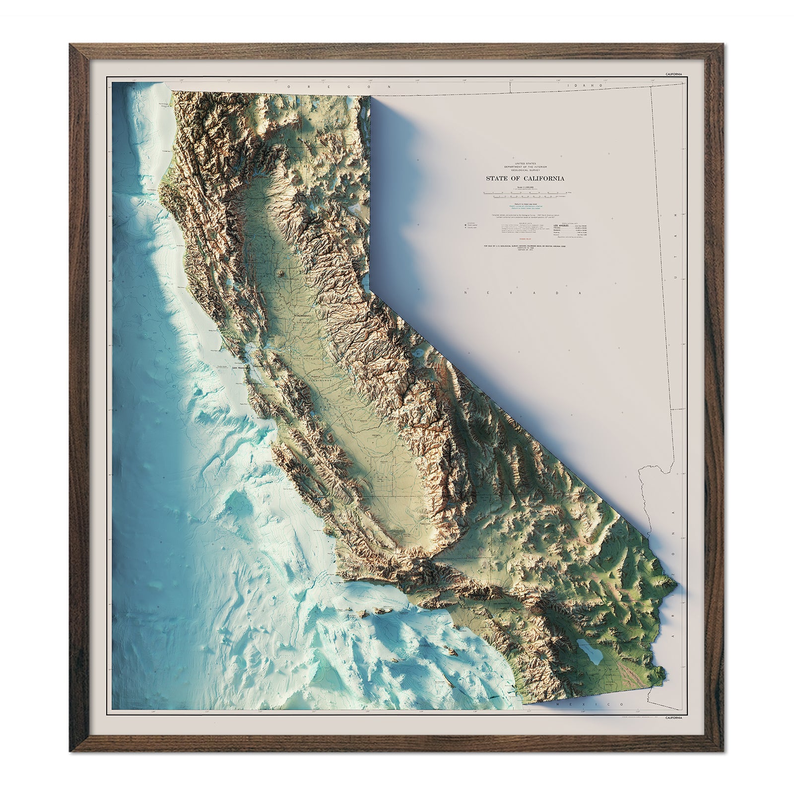
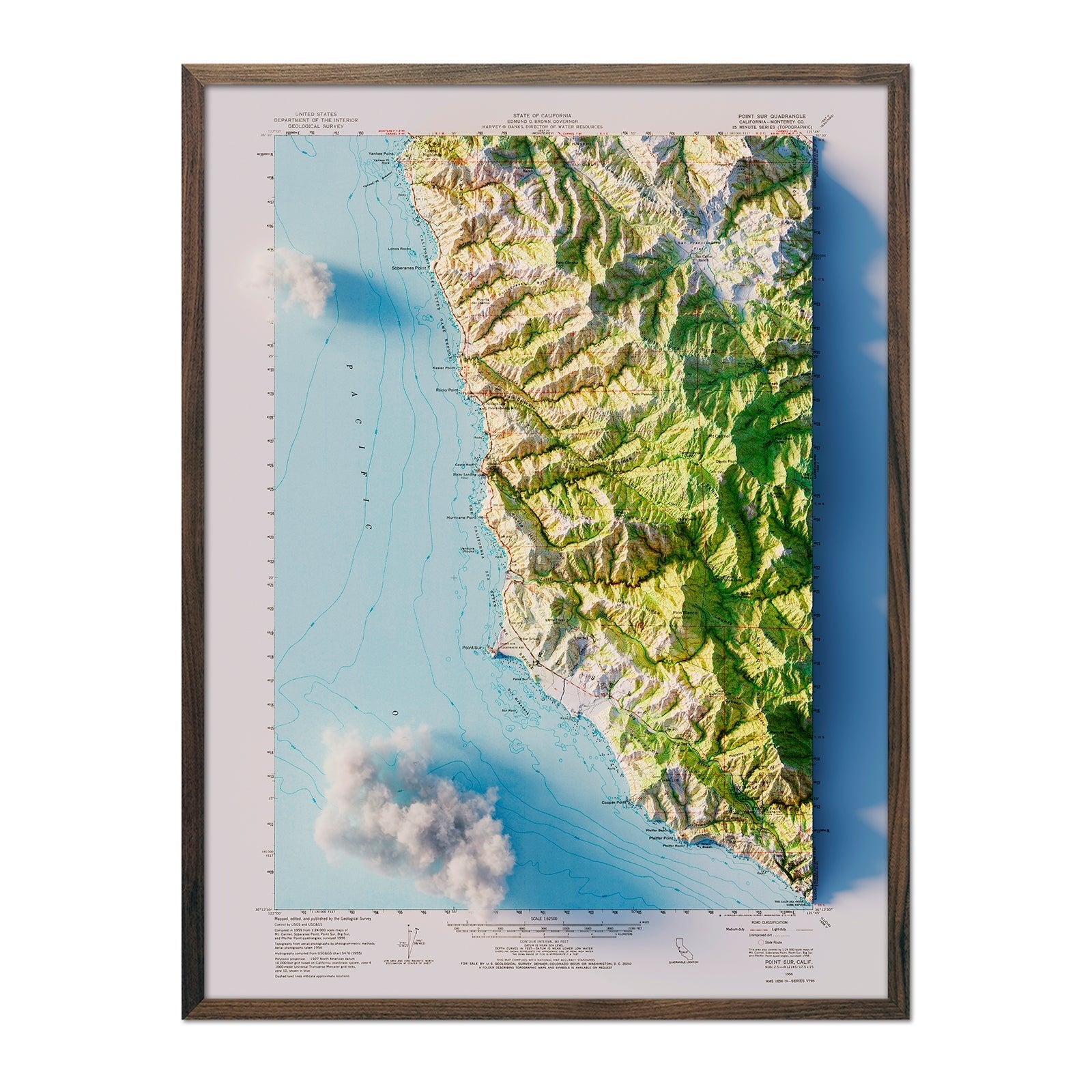
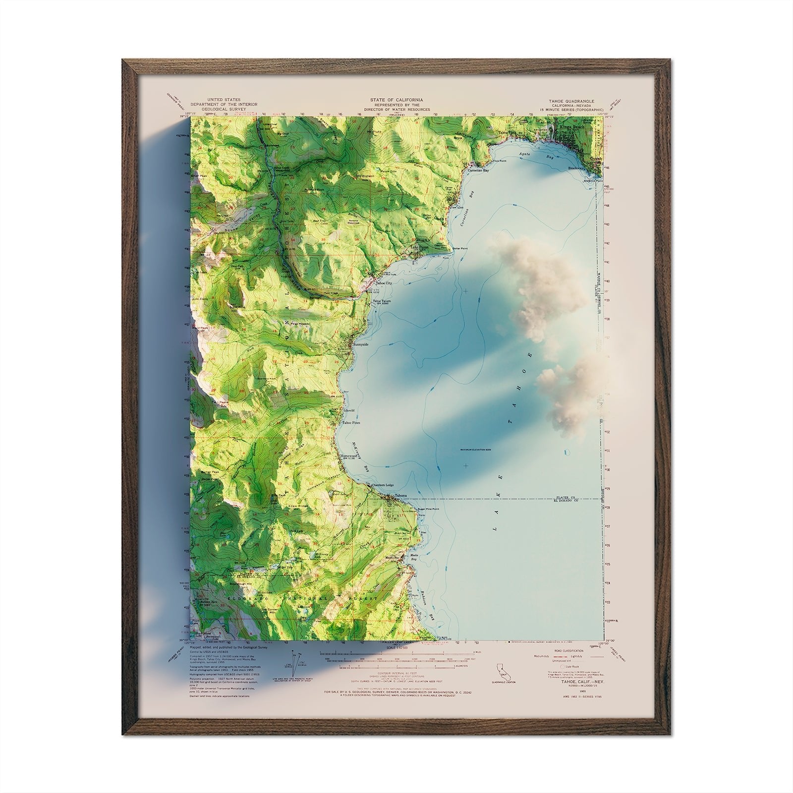
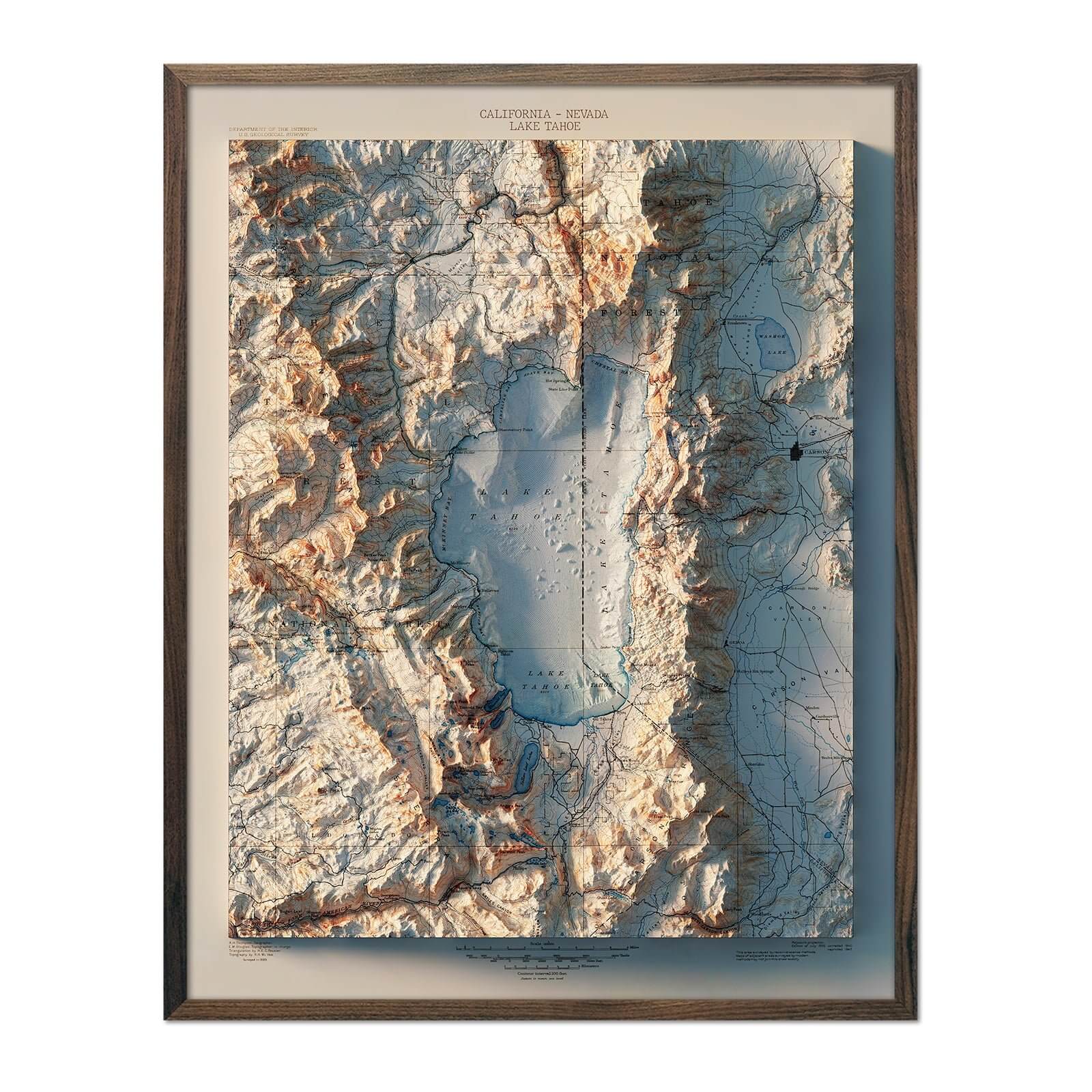
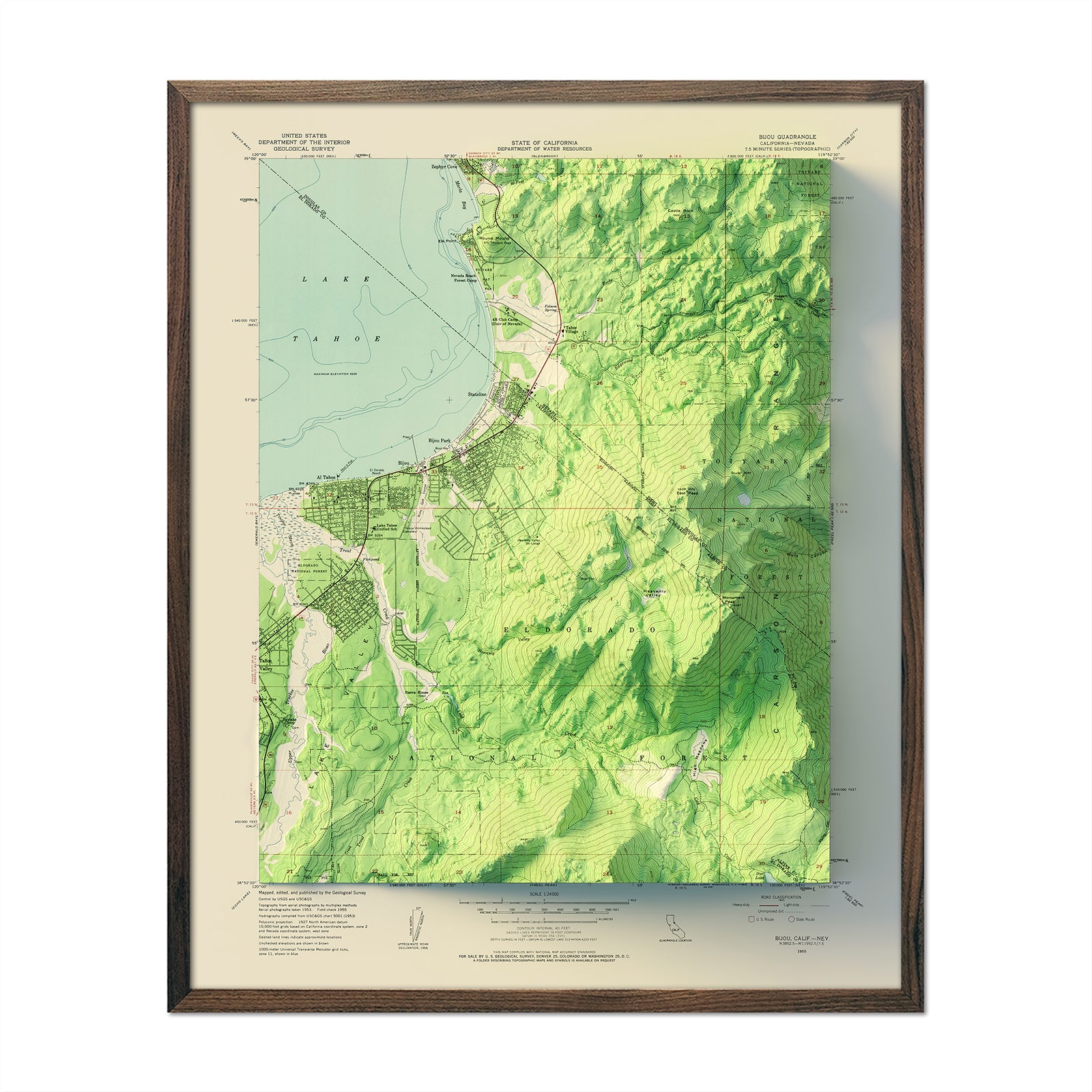
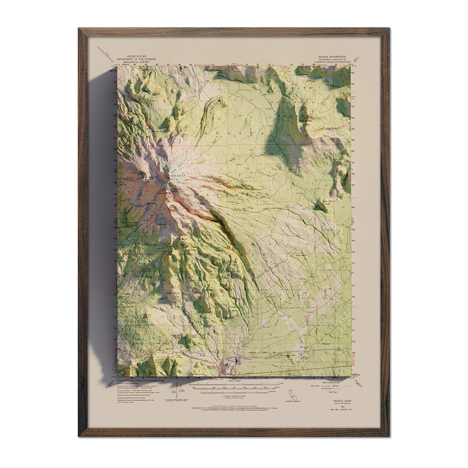
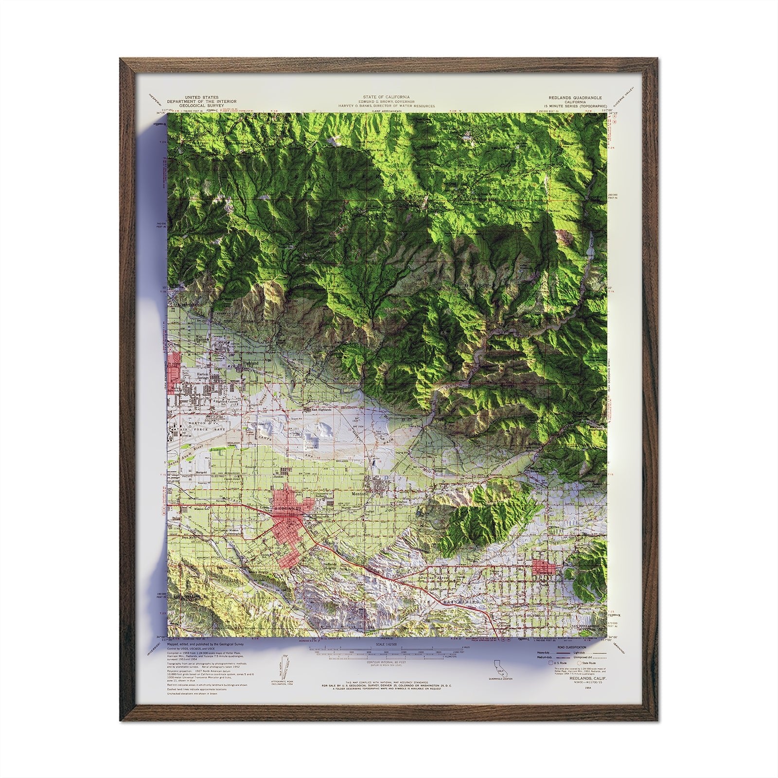
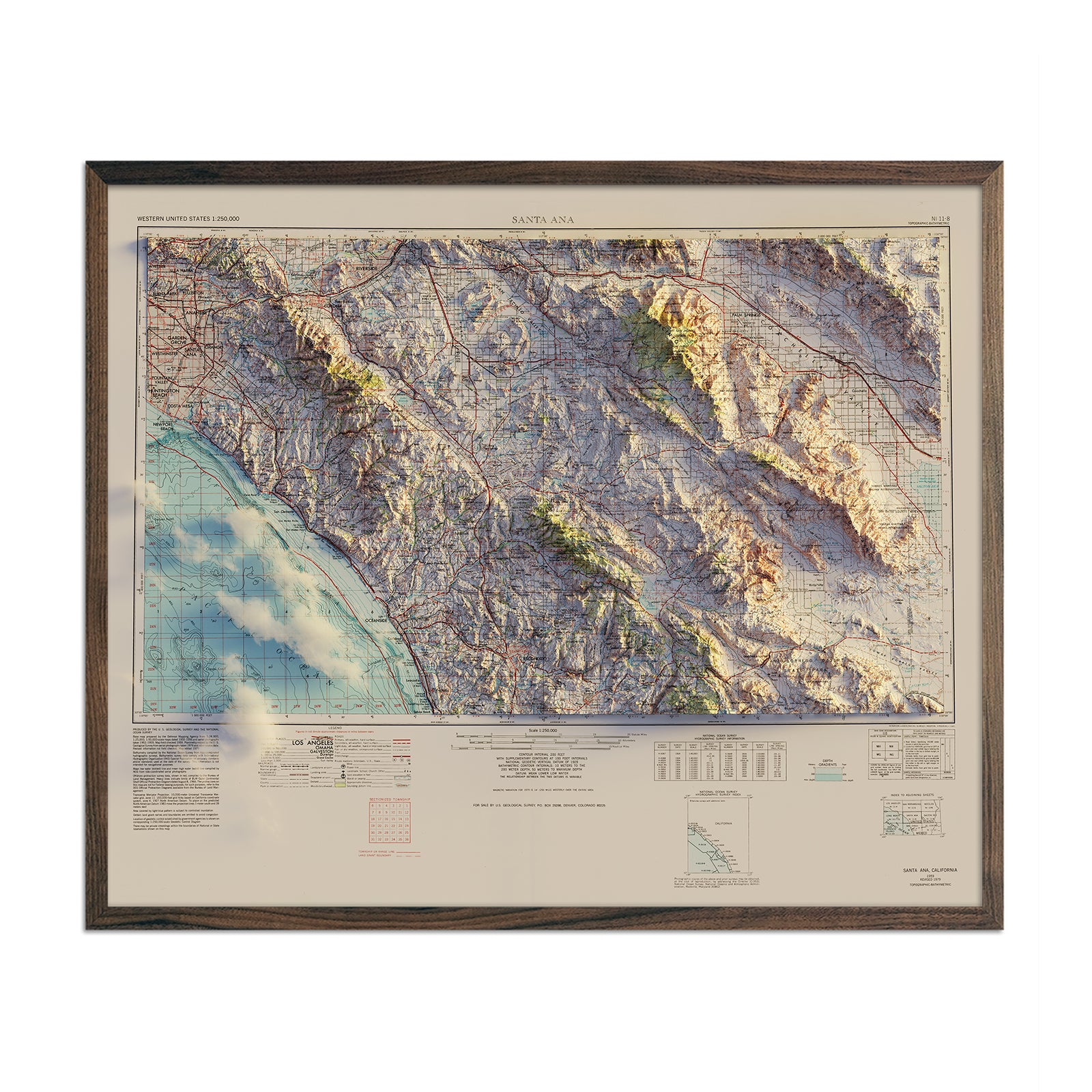
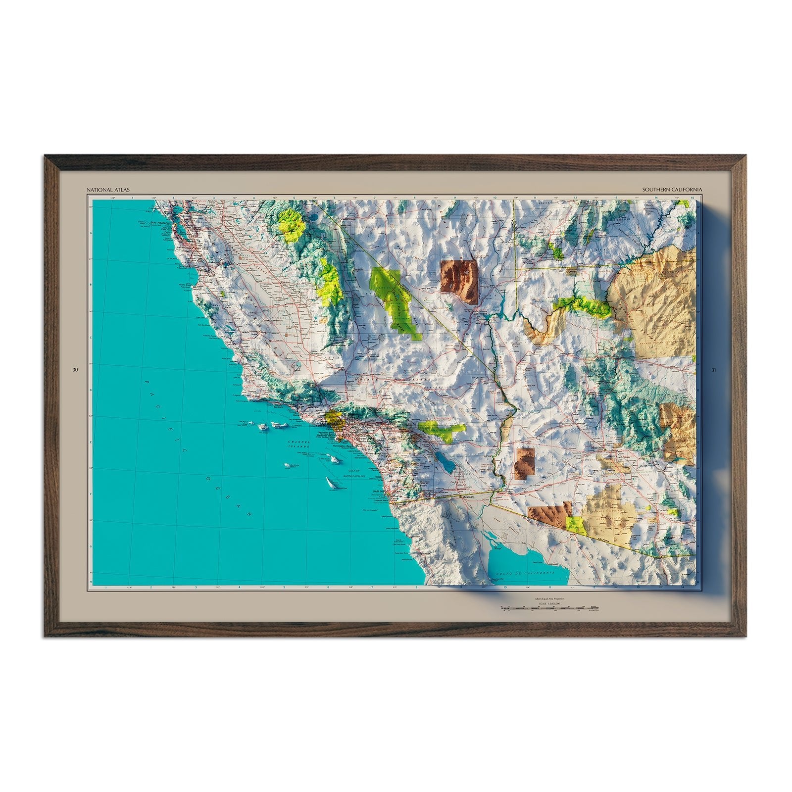
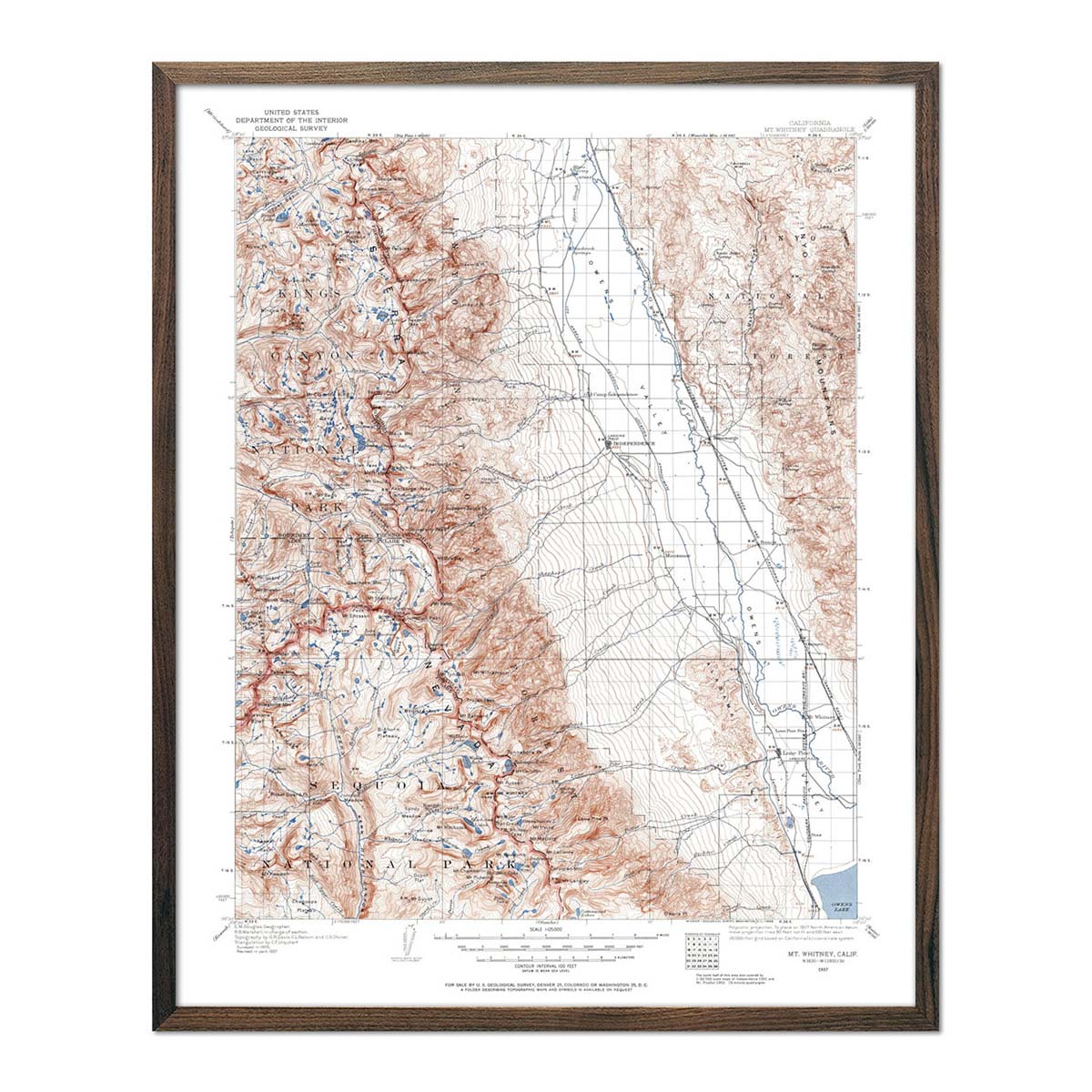
The shaded relief maps in this collection are highlighted by the California 1977 map, California 1994 Shaded Relief Map, and the Big Sur 1956 map. These maps highlight the towering mountain ranges, including the Sierra Nevada in the east, which hosts Lake Tahoe and numerous iconic natural features, and the coastal ranges that gracefully parallel the Pacific shore.
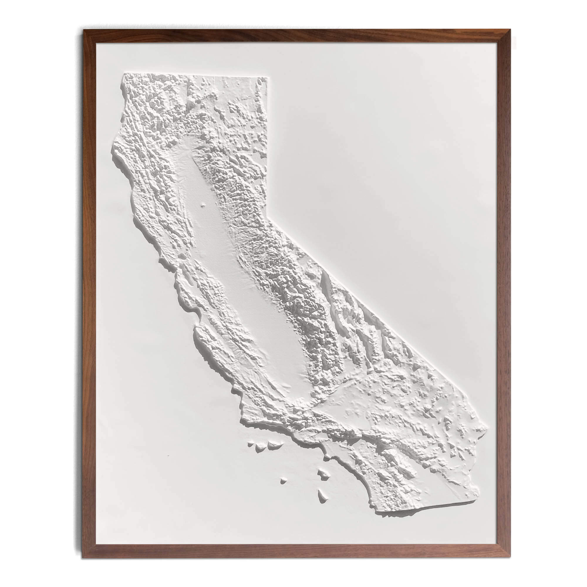
We apply Digital Elevation Data and meticulously added shaded relief to the landscape, which results in a stunning 3D illusion that showcases every detail of the state's complex geological formations.
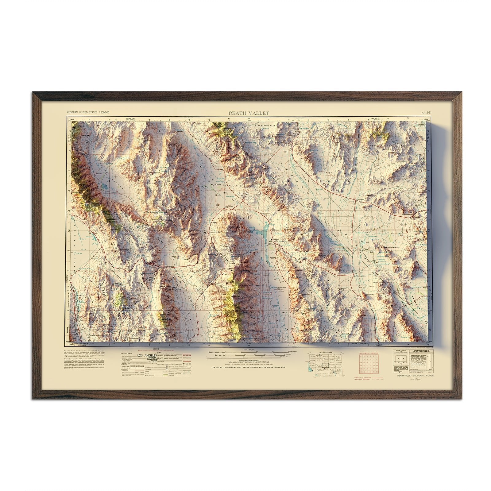
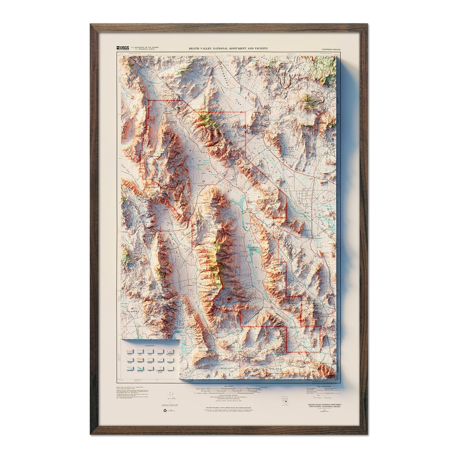
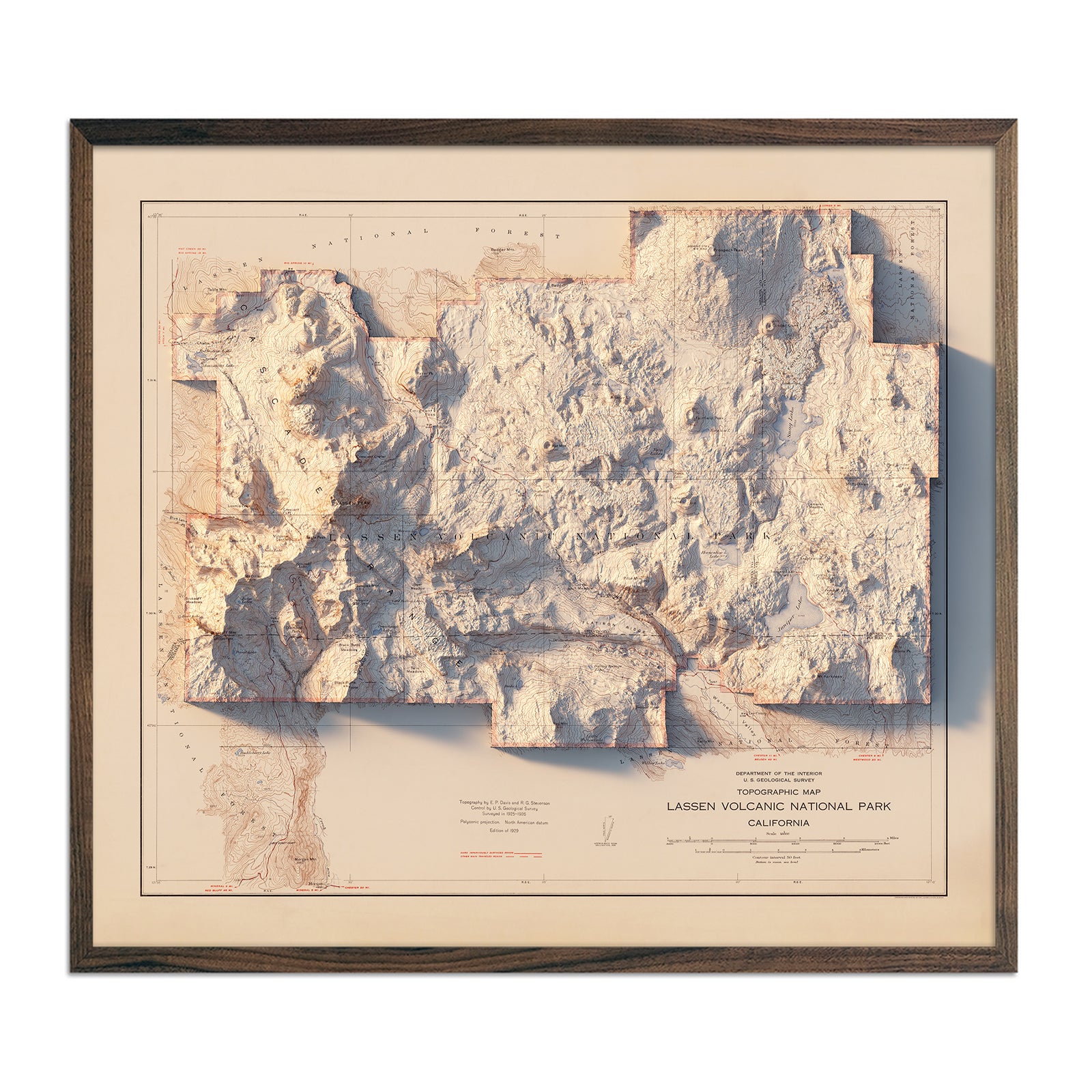
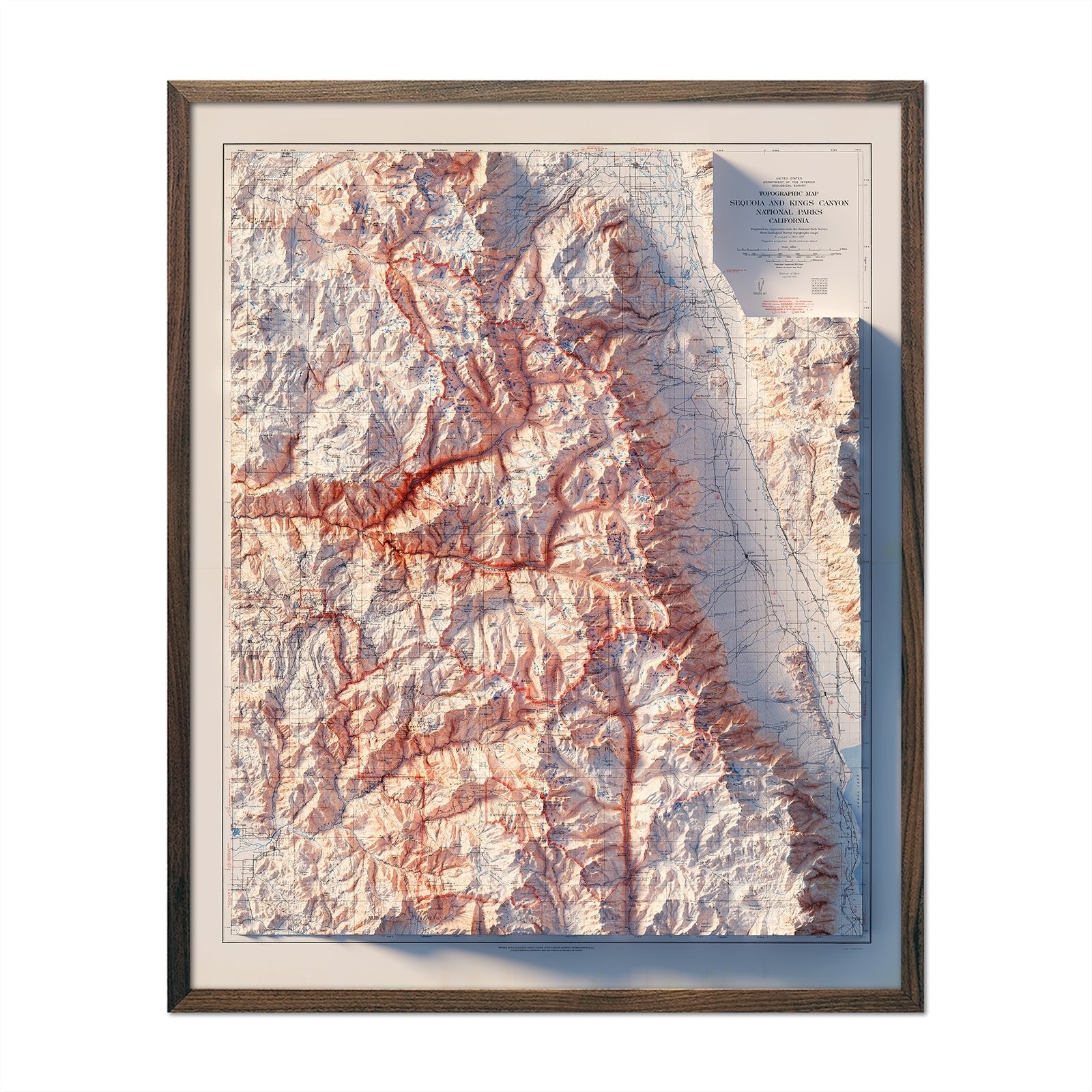
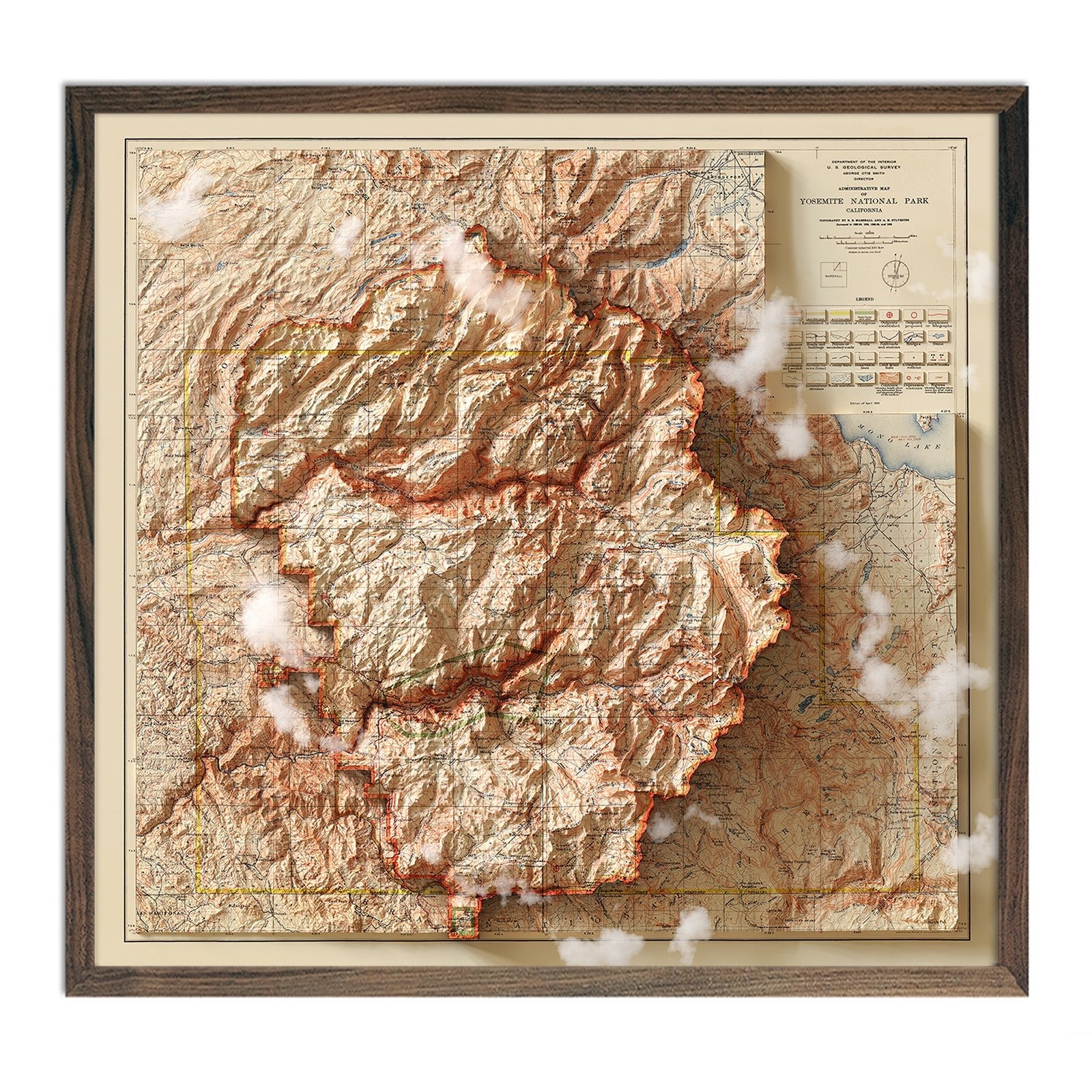
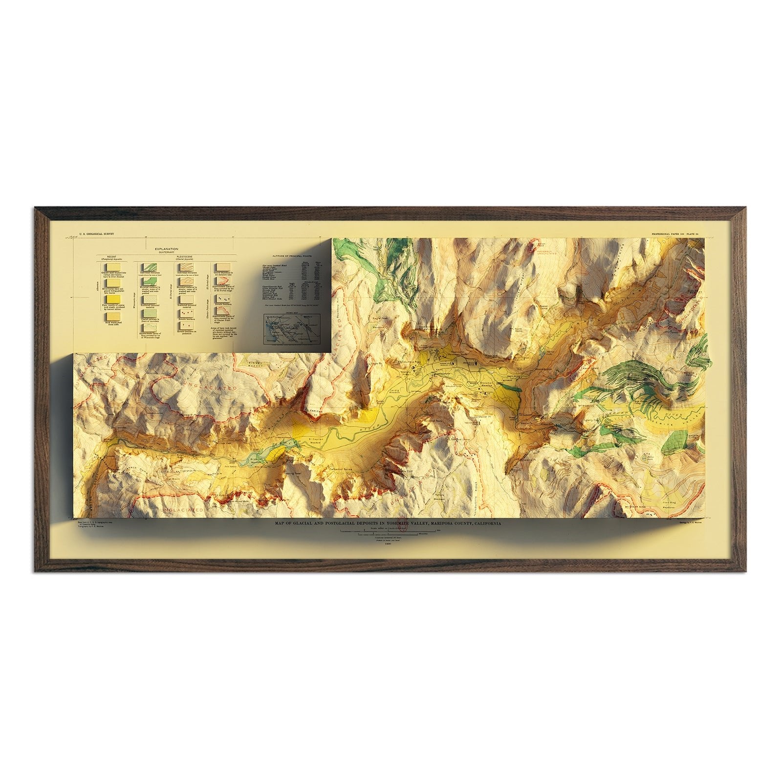
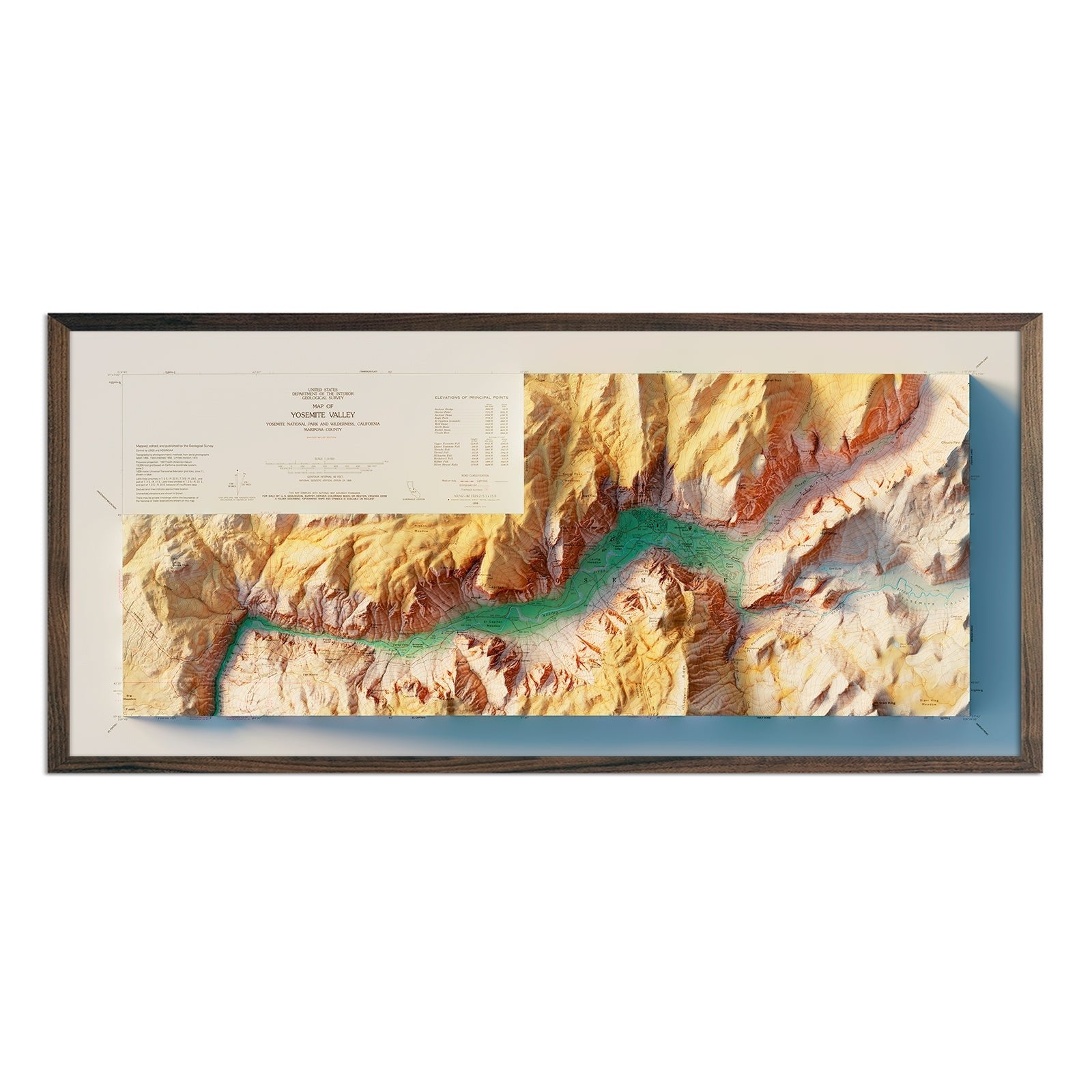
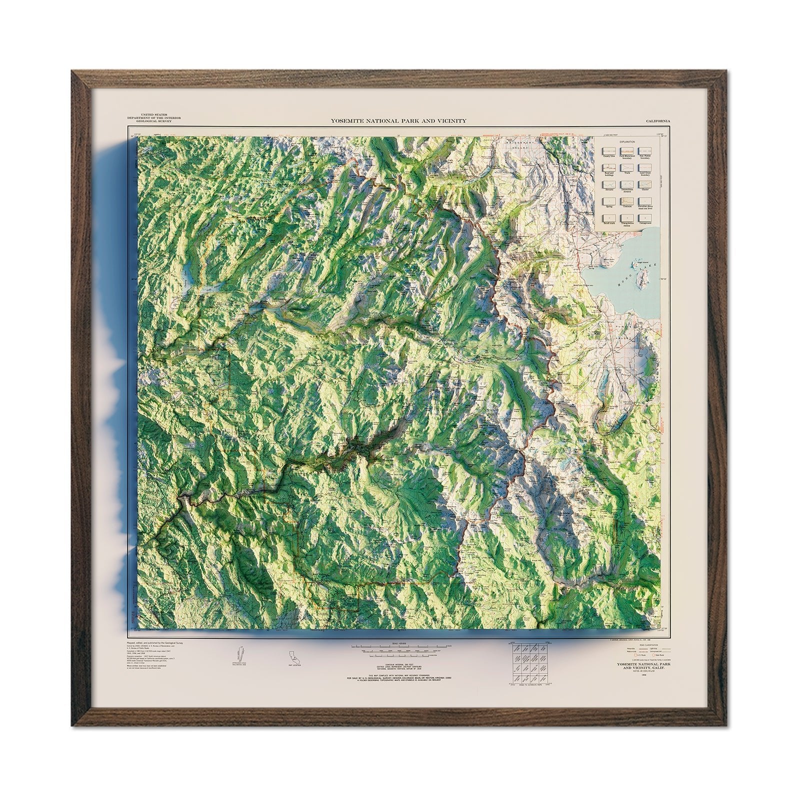
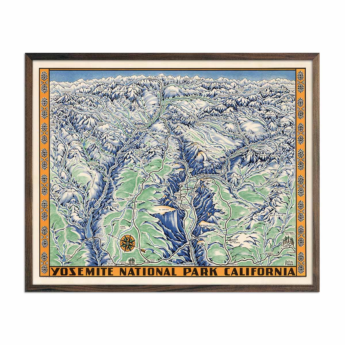
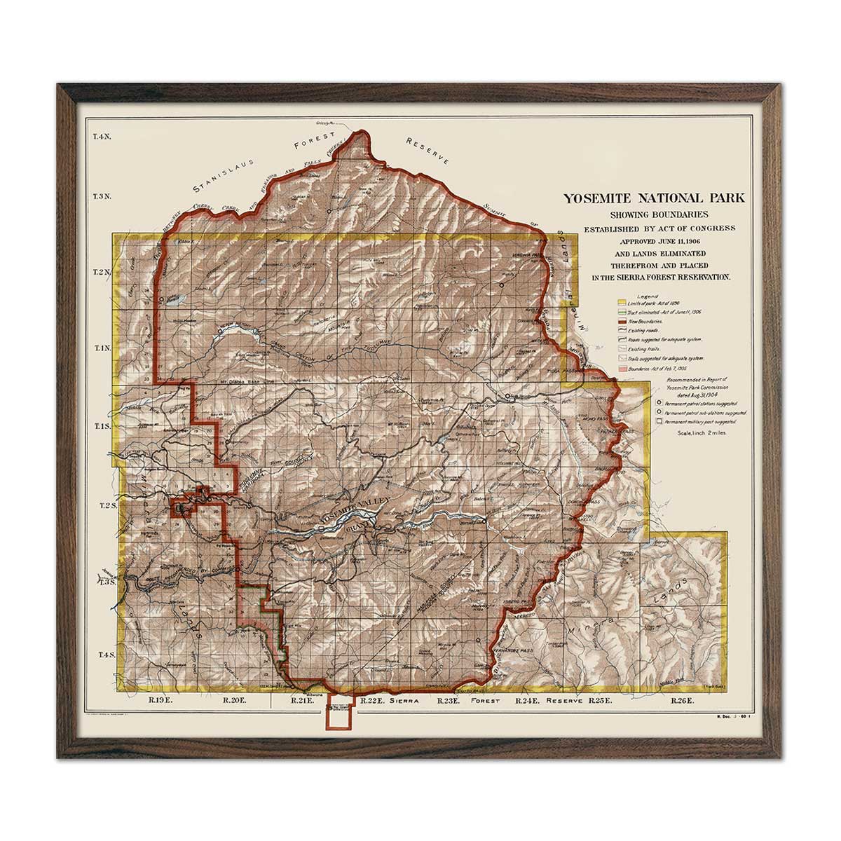
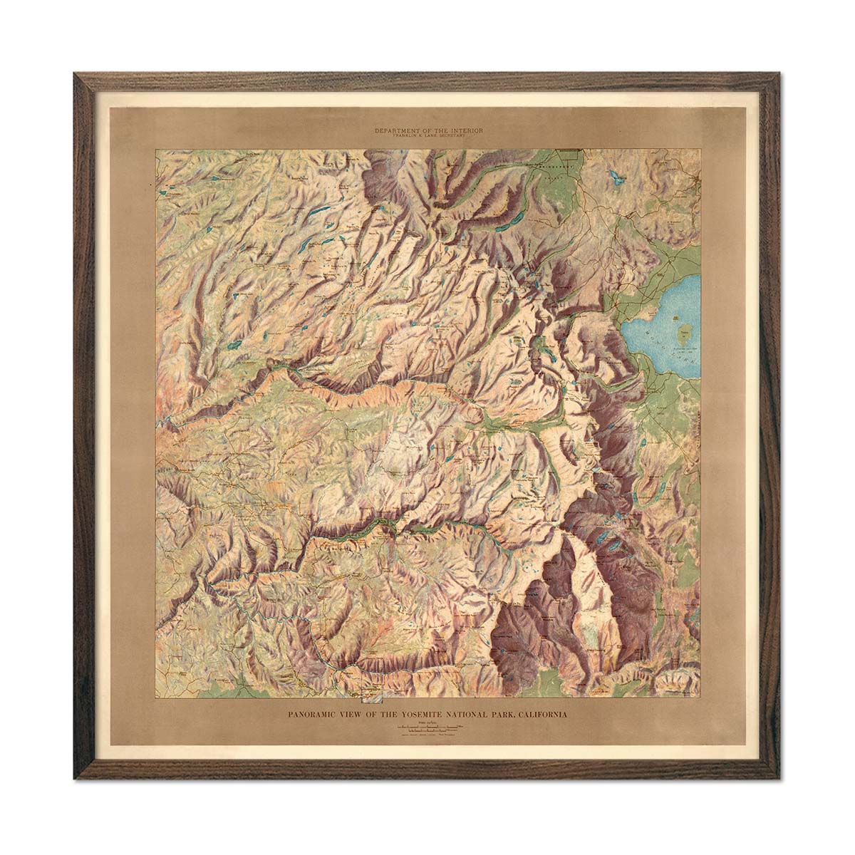
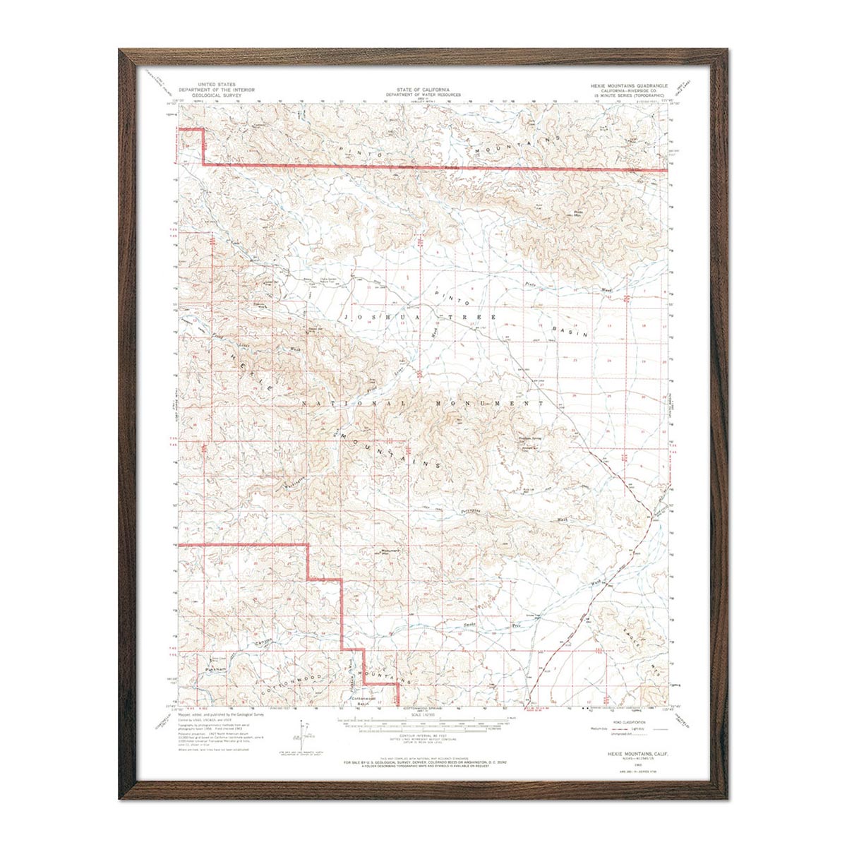
California is home to some of the world’s most famous national parks, which we faithfully capture across a range of map print types. Take in the arid desert of our Death Valley National Park 1954 Shaded Relief Map or the granite cliffs displayed on the historic Yosemite 1910 Shaded Relief Map. Also check out our Joshua Tree National Park 1963 USGS Map.
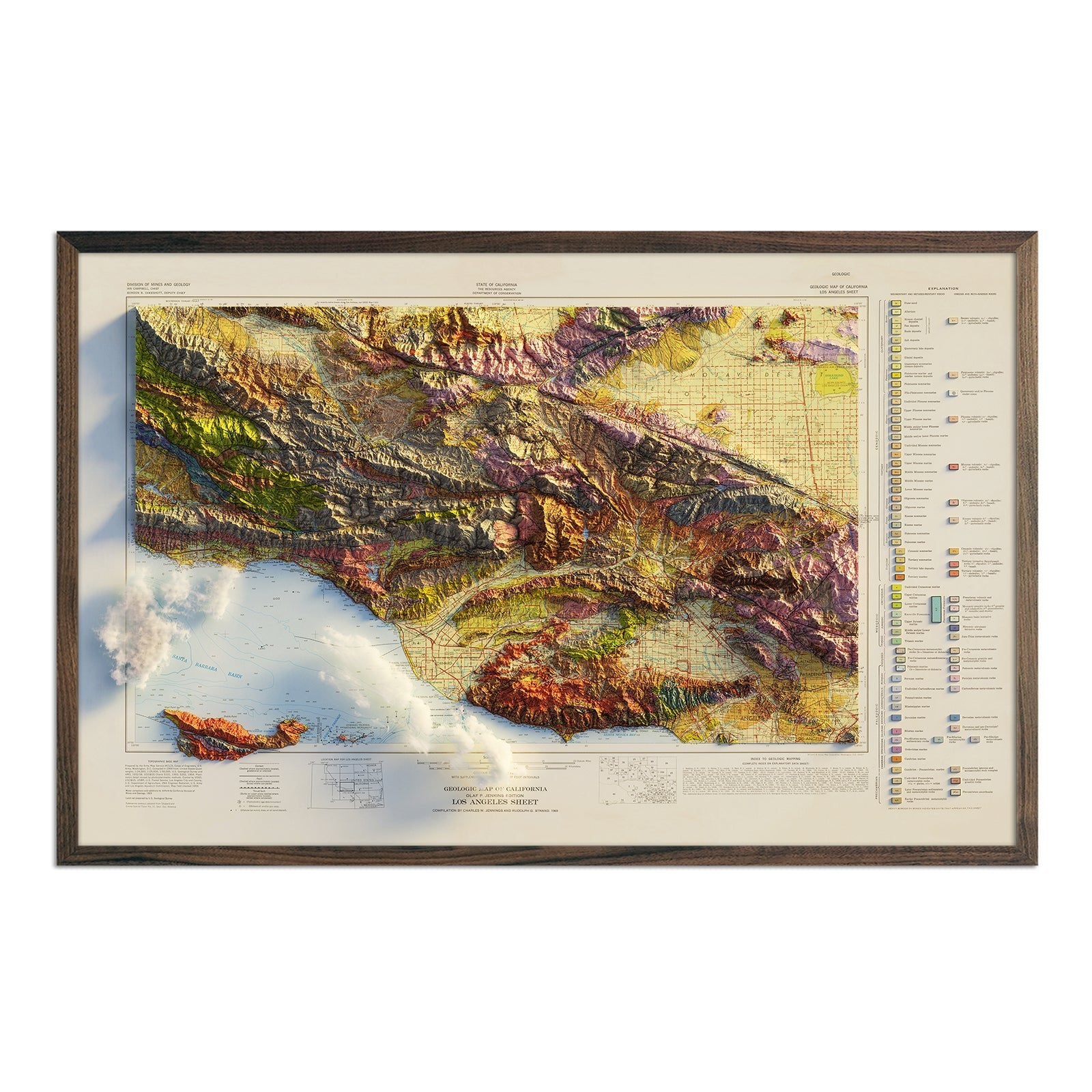
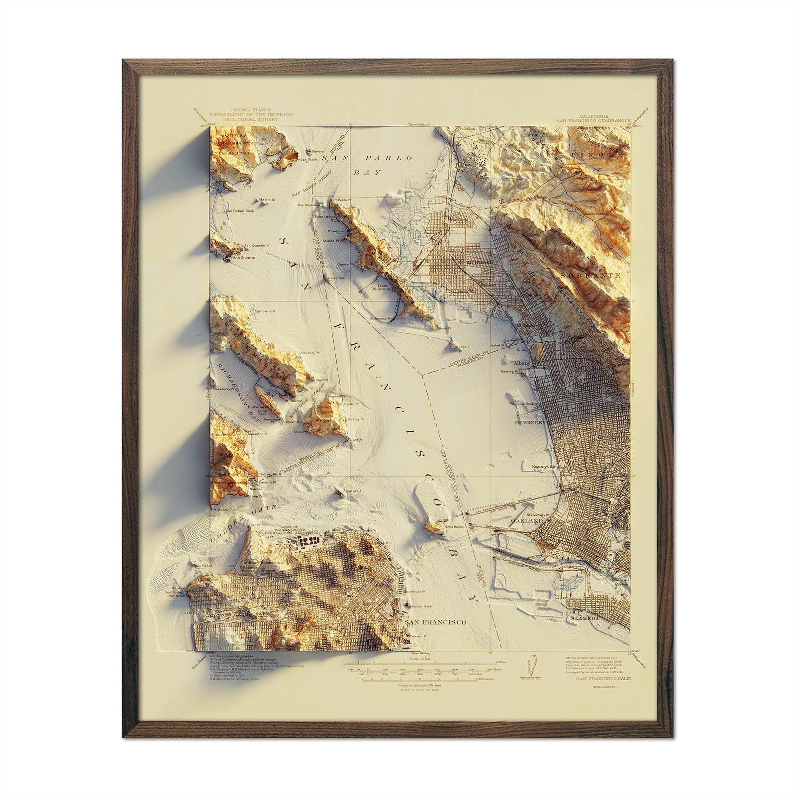
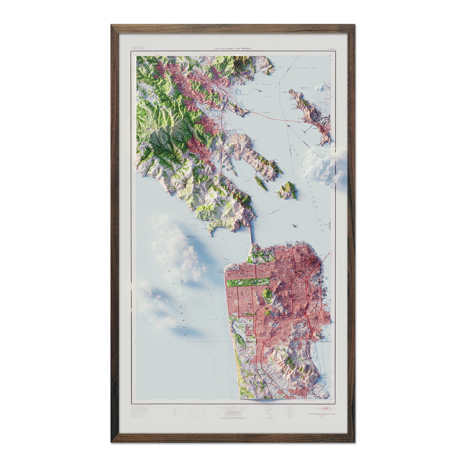
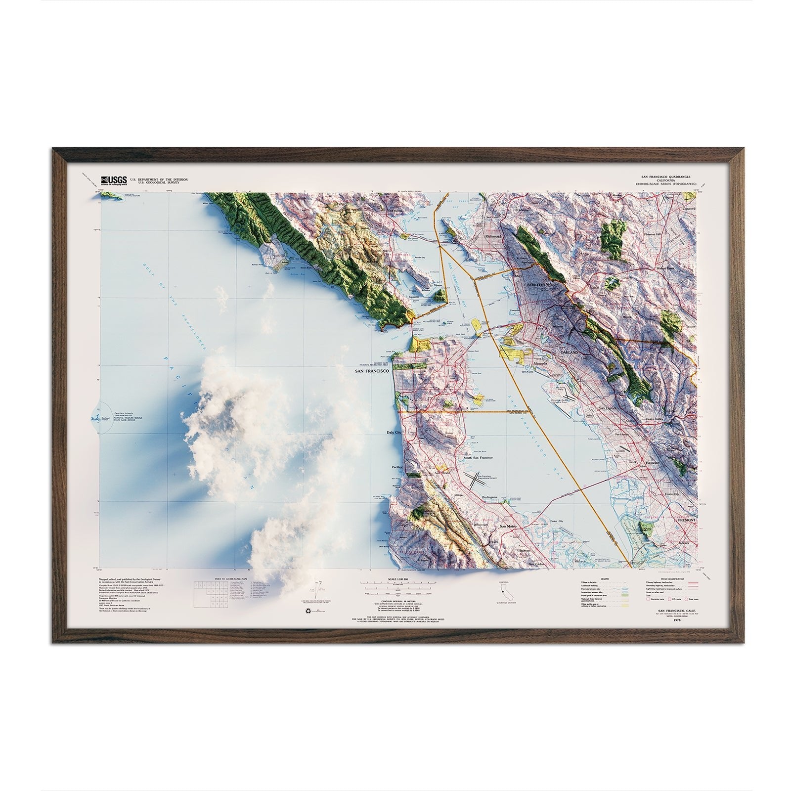
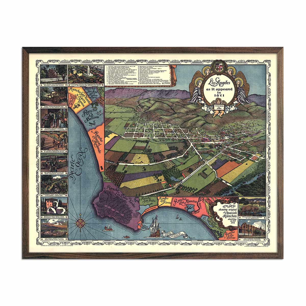
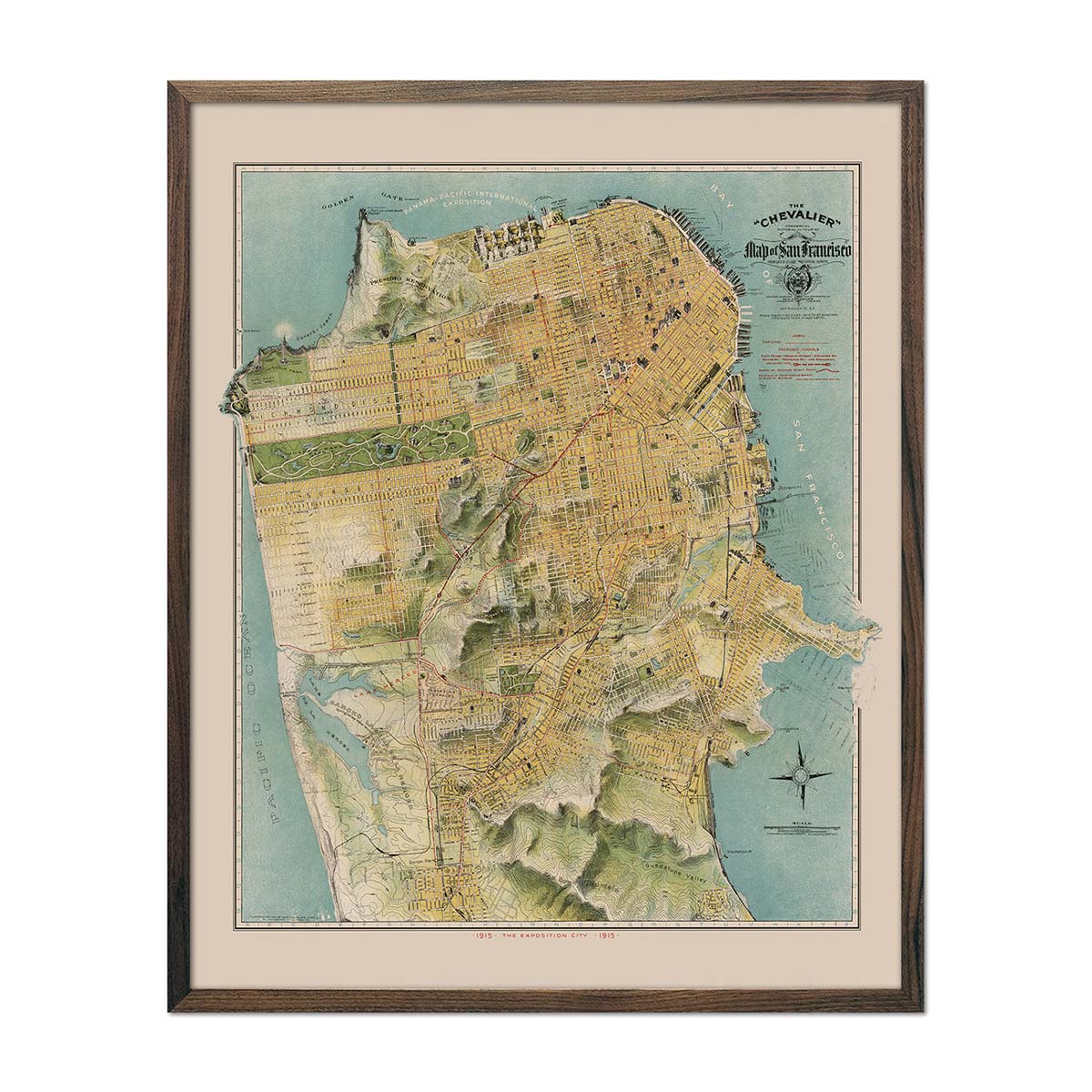
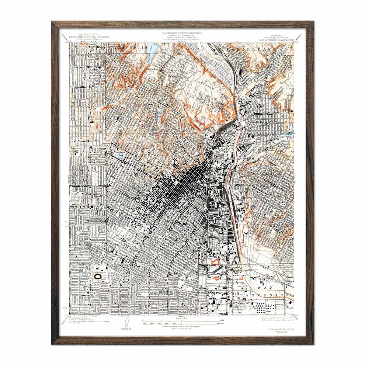
Some of our USGS and Shaded Relief maps in this collection capture the pulsating energy and diverse landscapes that encapsulate California's most famous citie, including the star-studded boulevards of Los Angeles and the hilly terrains of San Francisco.
The Los Angeles 1969 Shaded Relief Map allows you to explore the city’s sprawling suburbs, iconic landmarks, and the meandering coastline that paints a picture of luxury, creativity, and dreams. Our San Francisco 1978 Shaded Relief Map allows you to traverse the hills of the Golden City, with its amalgamation of historic and modern architecture encapsulated beautifully through detailed map contours.
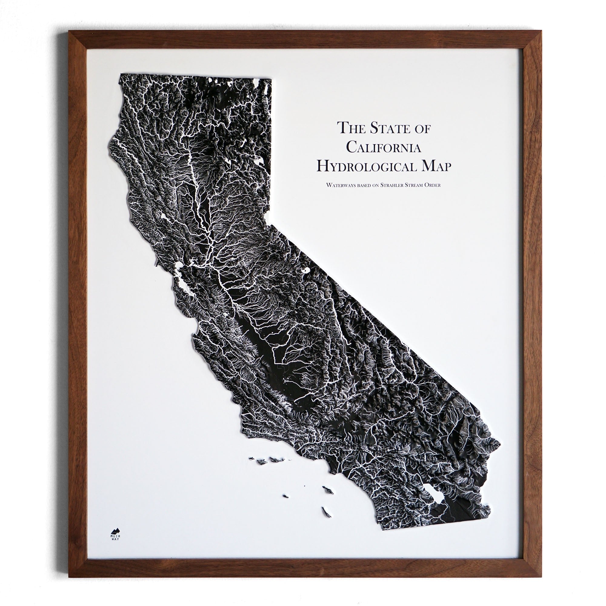
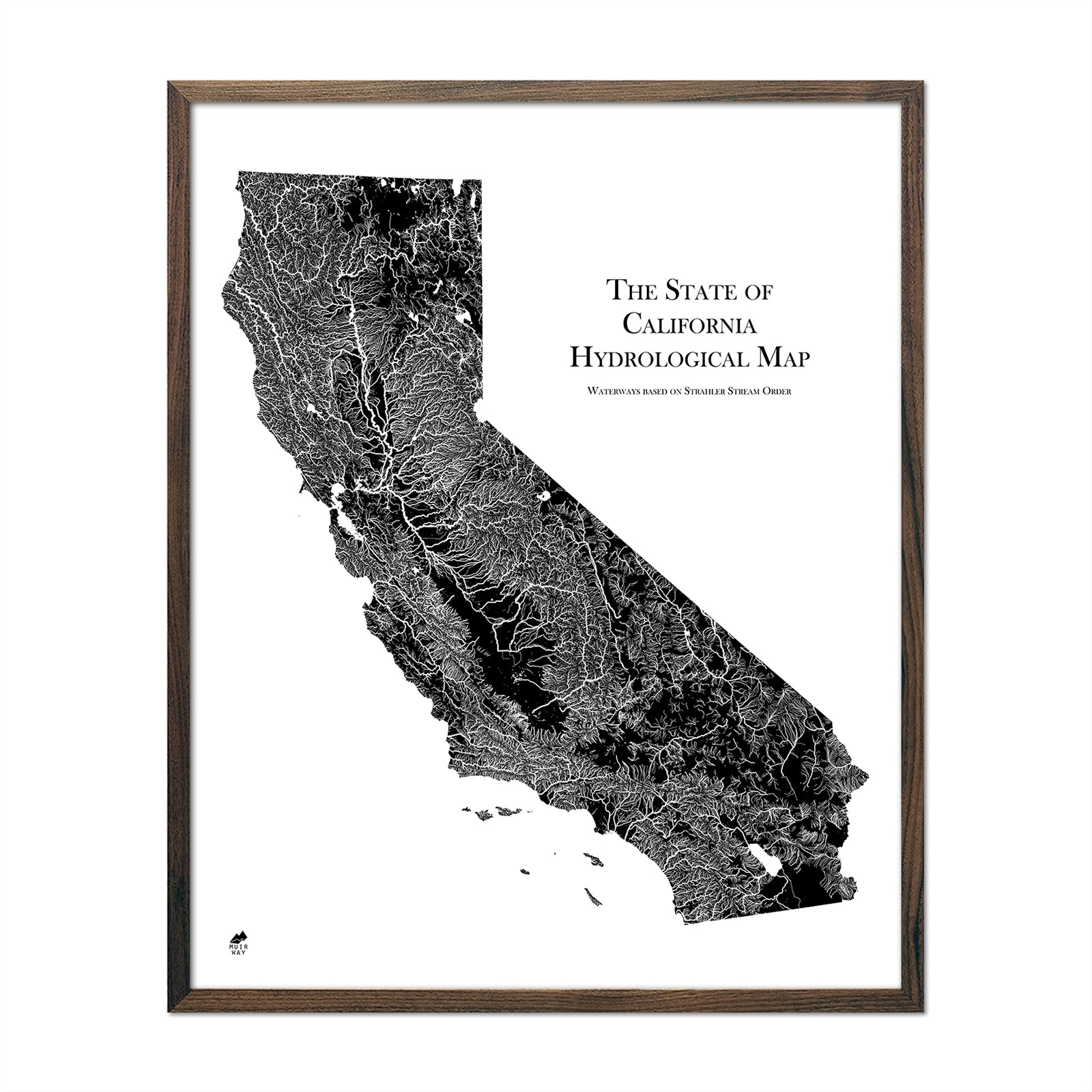
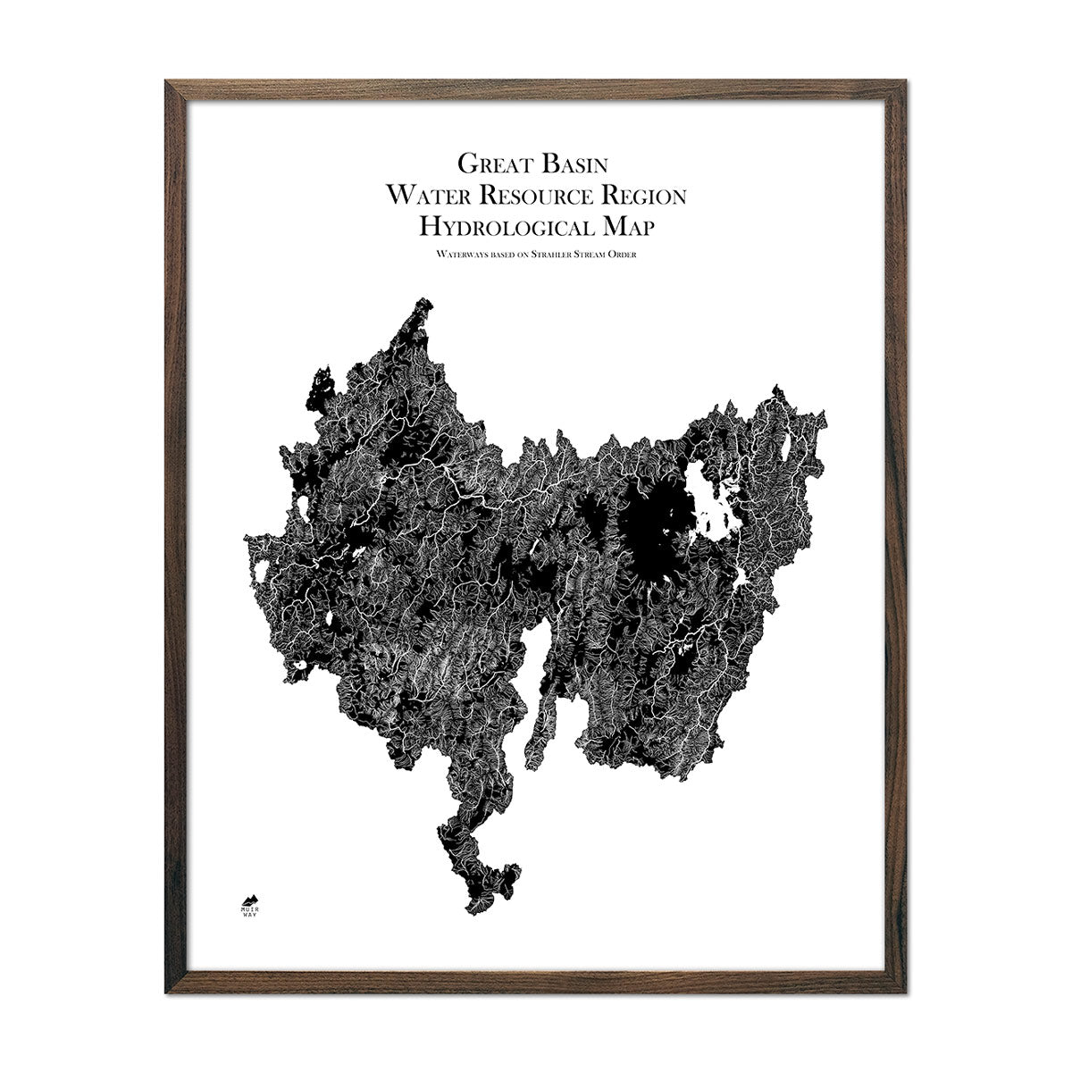
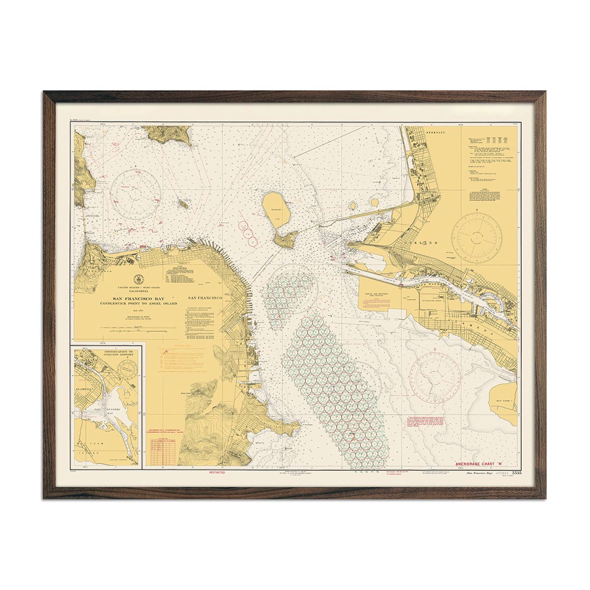
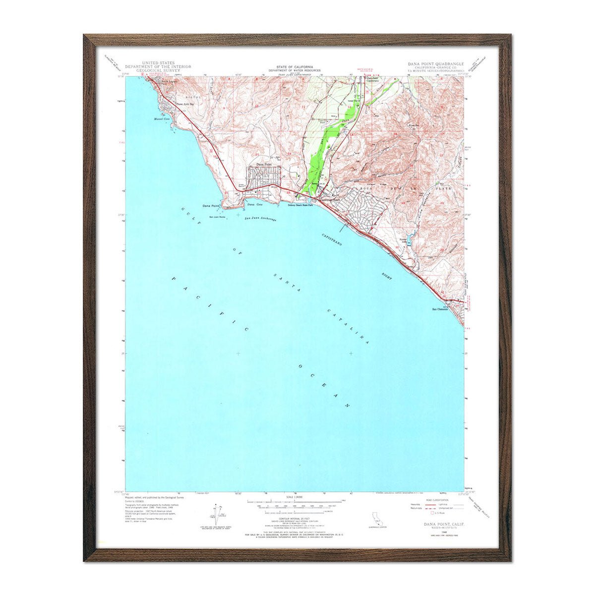
California's hydrological landscape is both vast and varied, home to numerous natural and man-made lakes, intricate waterways, and a striking coastline that draws visitors from around the world. The state boasts picturesque lakes such as Lake Tahoe, nestled in the Sierra Nevada mountains, offering crystal clear waters and recreational opportunities, and the Salton Sea in the south, a saline endorheic rift lake that stands as a unique geographic feature.
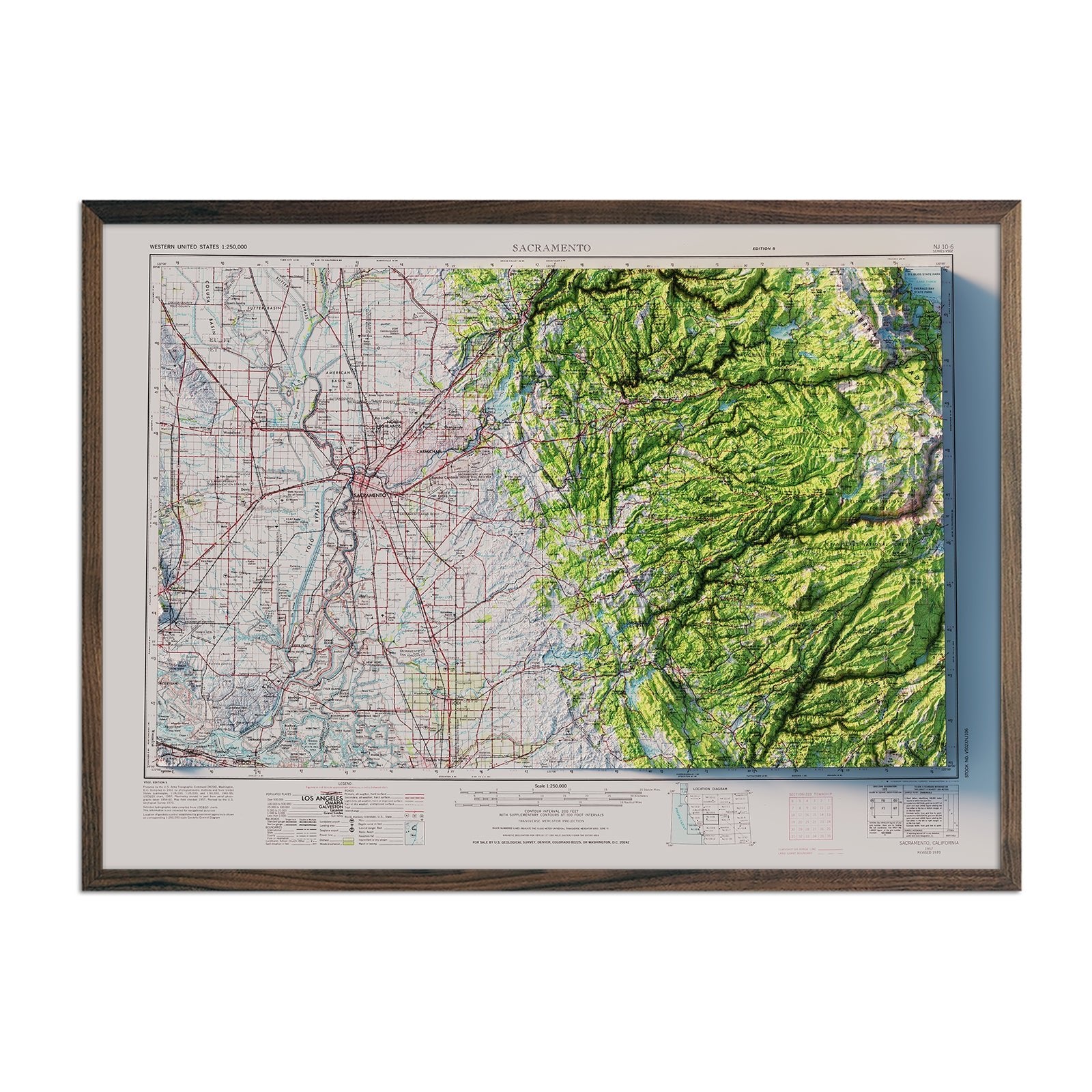
The state’s waterway network comes alive in rich detail in our California Hydrological Map. Our map print meticulously details California's expansive waterway system, providing you with an in-depth view of the state's rivers, lakes, and coastal areas that are the lifelines of its vibrant ecosystems and bustling cities.
If you like our collection of California maps, you may also be interested in maps of other Pacific Region states. Click below to browse:
