


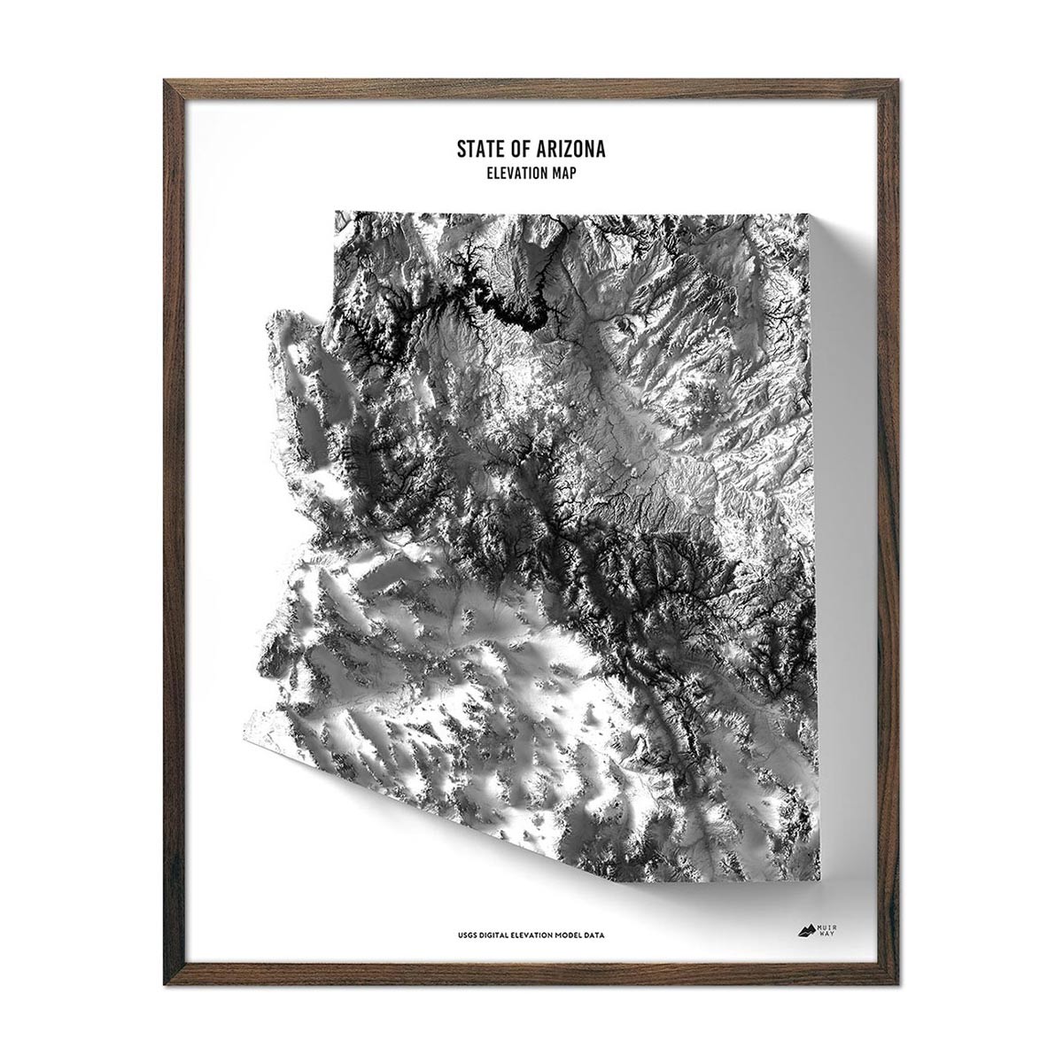


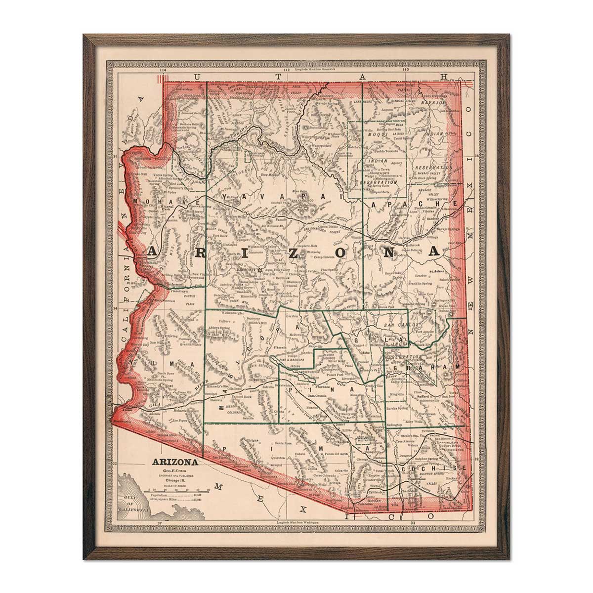
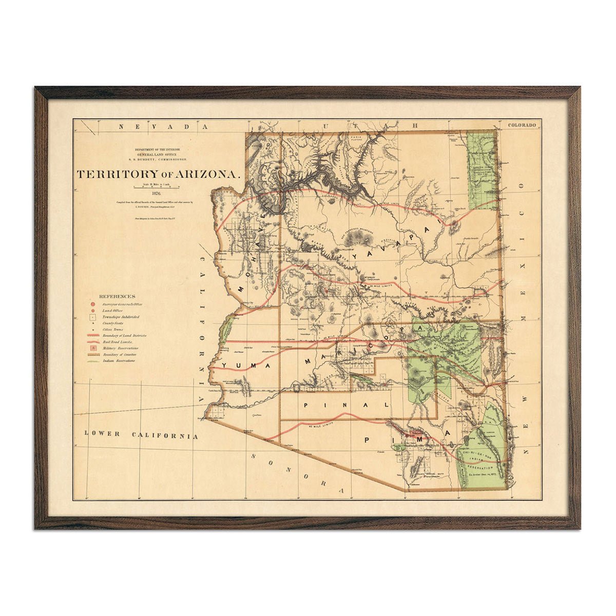
Arizona Map Prints, Hydrological & Shaded Relief Maps
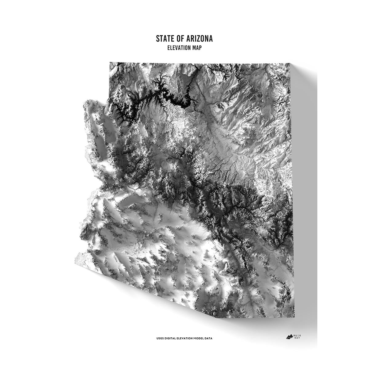
Arizona is full of surprises. Associated with desert landscapes, The Grand Canyon state showcases a varied topography, featuring the elevated regions of the Colorado Plateau and the Mogollon Rim in the north, which descend dramatically into expansive desert basins and ranges typified by the Sonoran Desert in the southern part of the state.
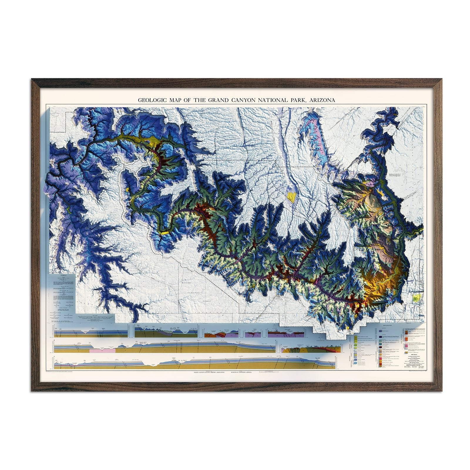
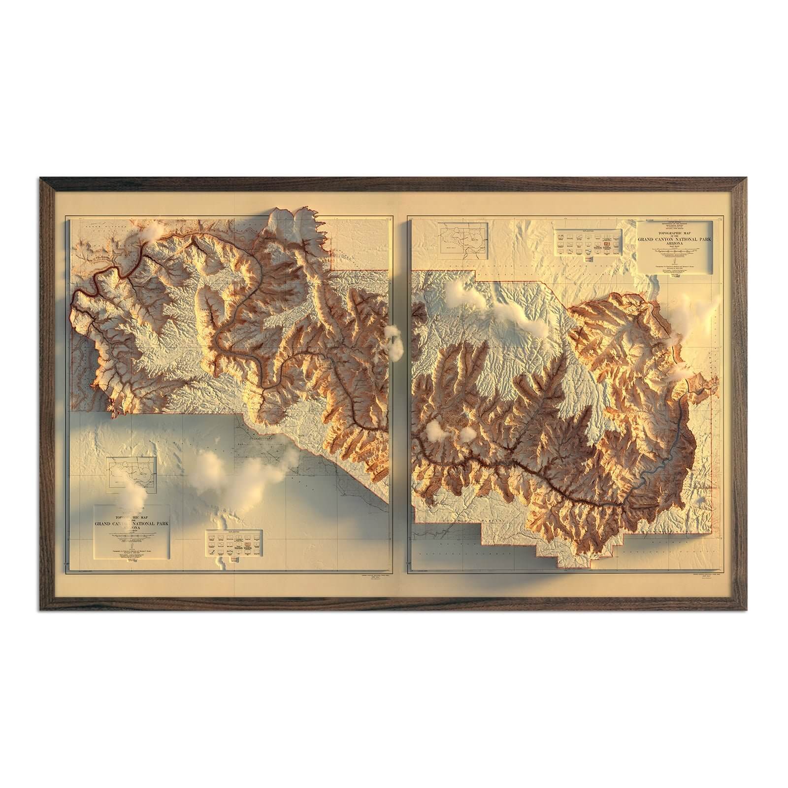
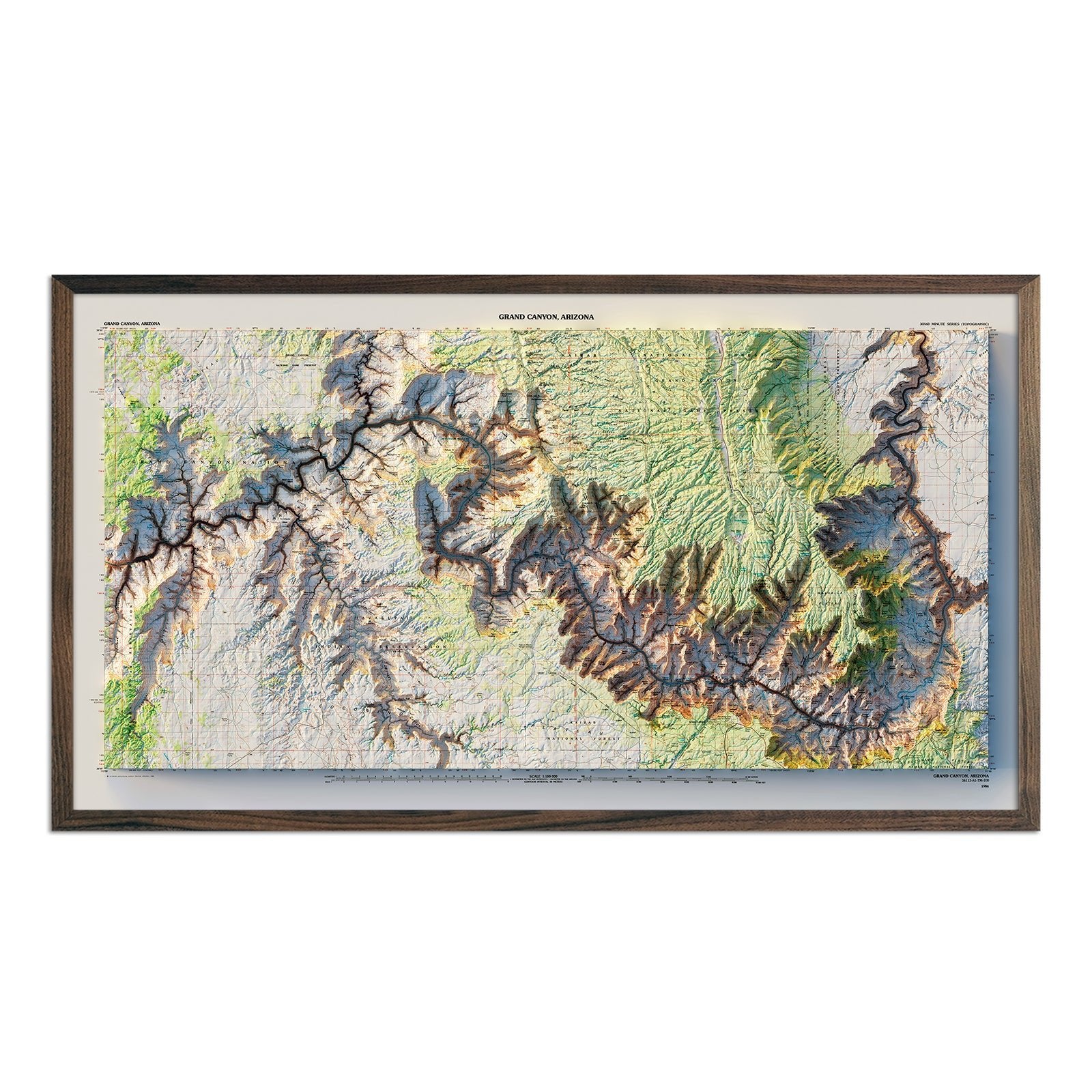
This southwest state is also home to the Grand Canyon. Carved by the Colorado River, the Grand Canyon is a testament to Arizona's rich geological history that also includes mountain ranges such as the Huachuca Mountains and extensive pine forests in higher elevations.
Muir Way's signature collection of Arizona map prints captures the state’s stunning landscape with detailed pieces that chronicle its history and highlight its most notable features.
Arizona’s history captures important aspects of how North America and the United States have changed over time. Home to Native American tribes, such as the Navajo and Hopi, the region also experienced Spanish explorers arriving in the 16th century and, following its independence from Spain, was a part of Mexico from 1821 until the region was acquired by the U.S. in 1848.
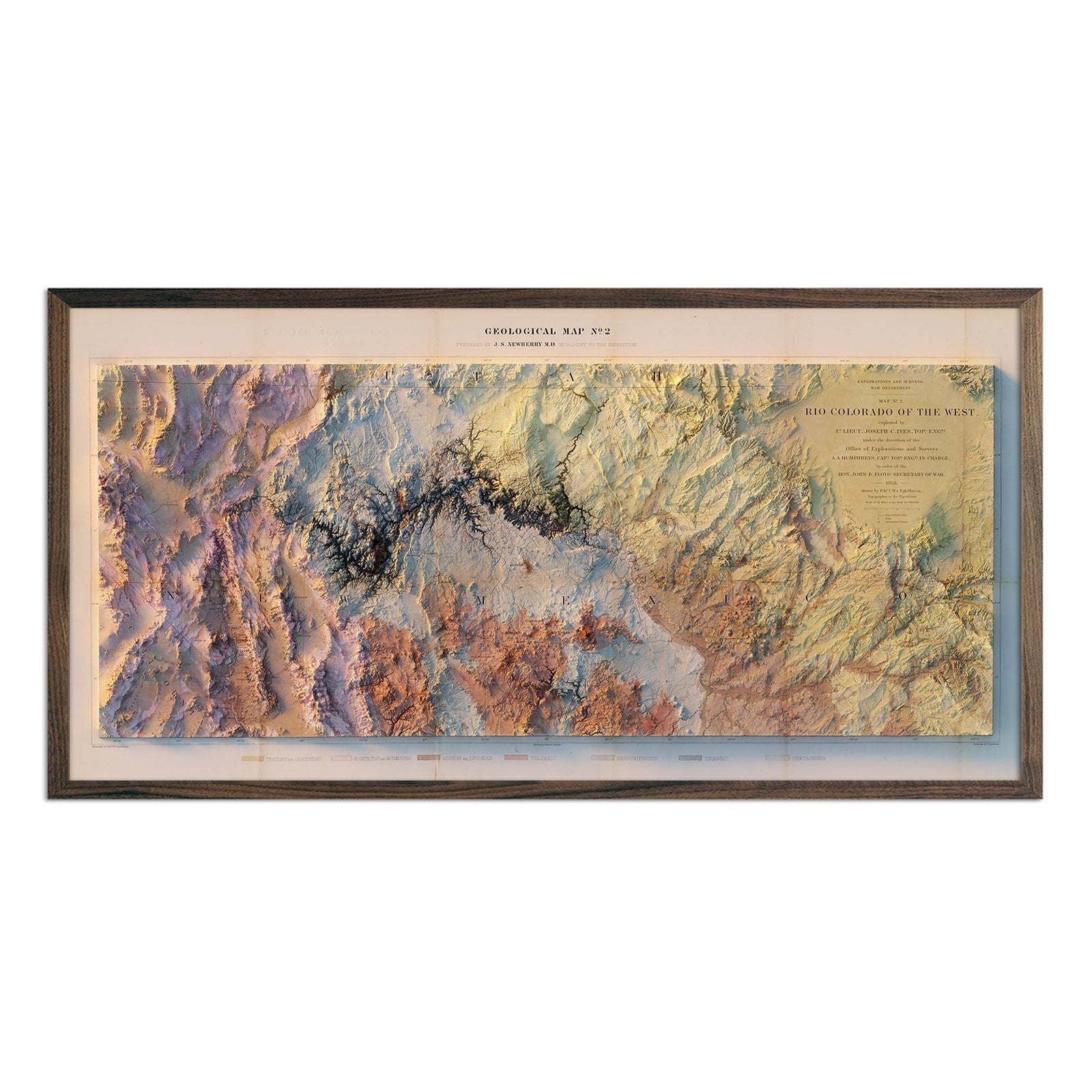
One of the earliest Arizona maps charted the Colorado River’s 1,450-mile path from the Rocky Mountains to the Gulf of California. Our Colorado River 1858 Shaded Relief Map is a faithful representation of the river’s journey. The illusion of 3D on the 1858 Colorado River map was created by using Digital Elevation Data to add shaded relief to the landscape.
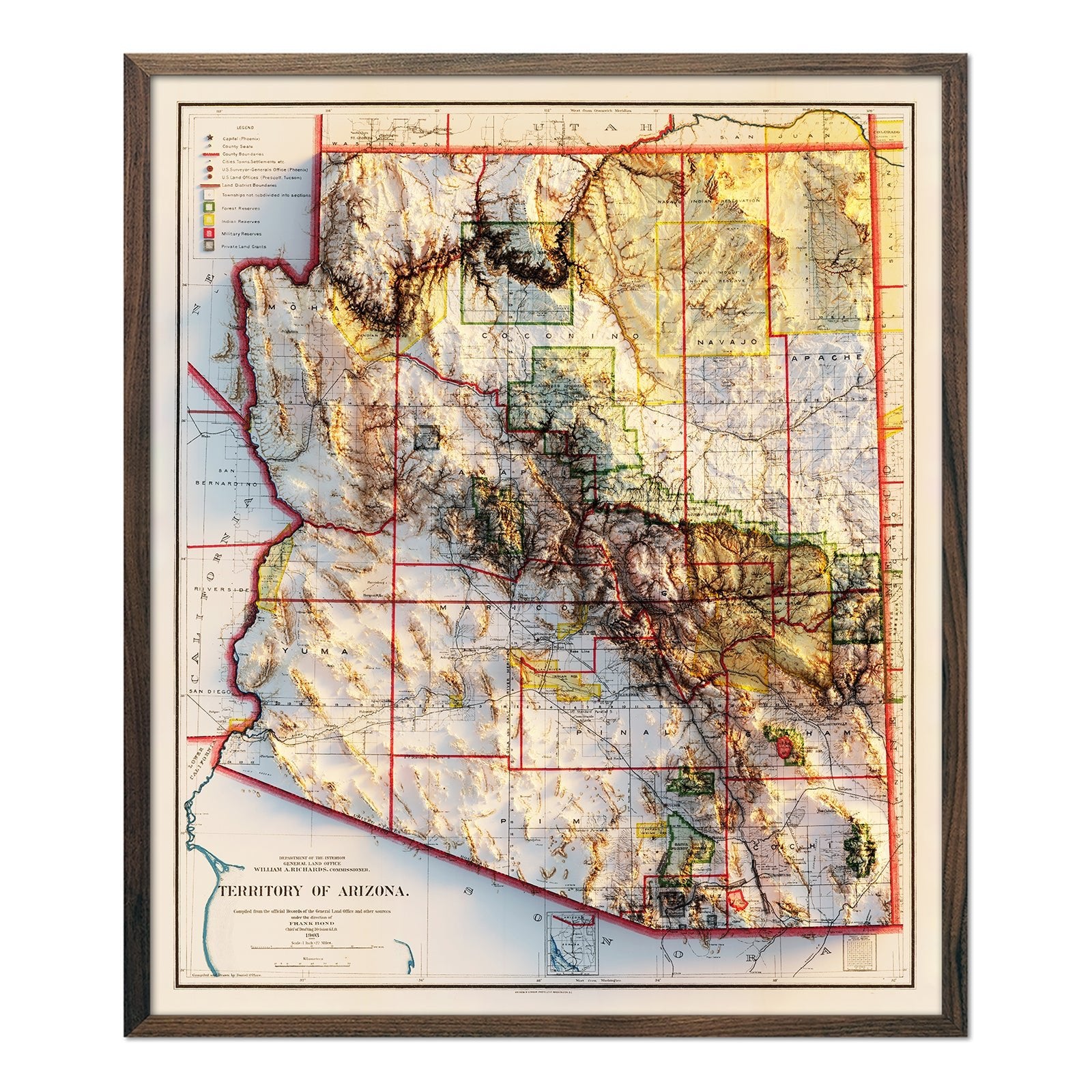
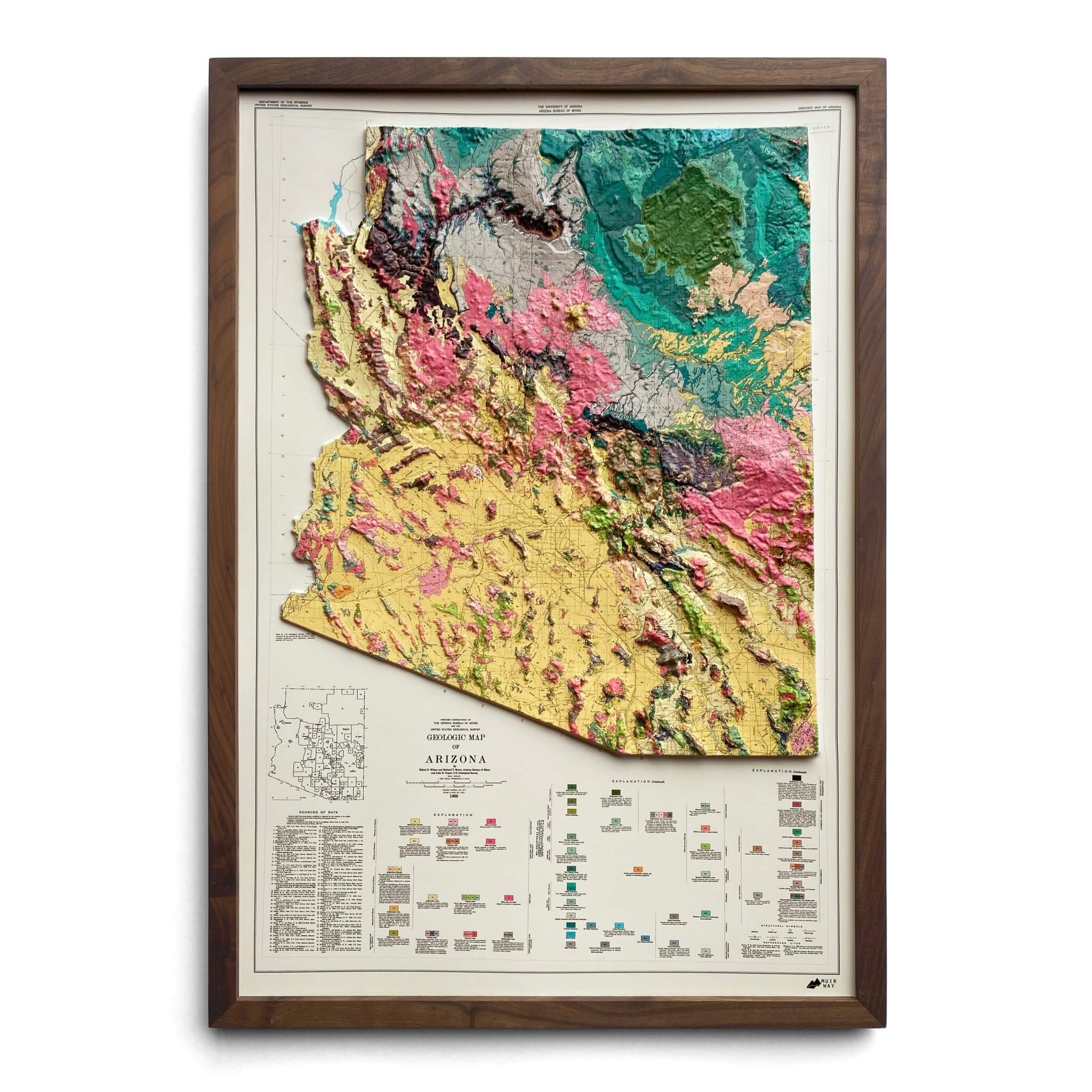
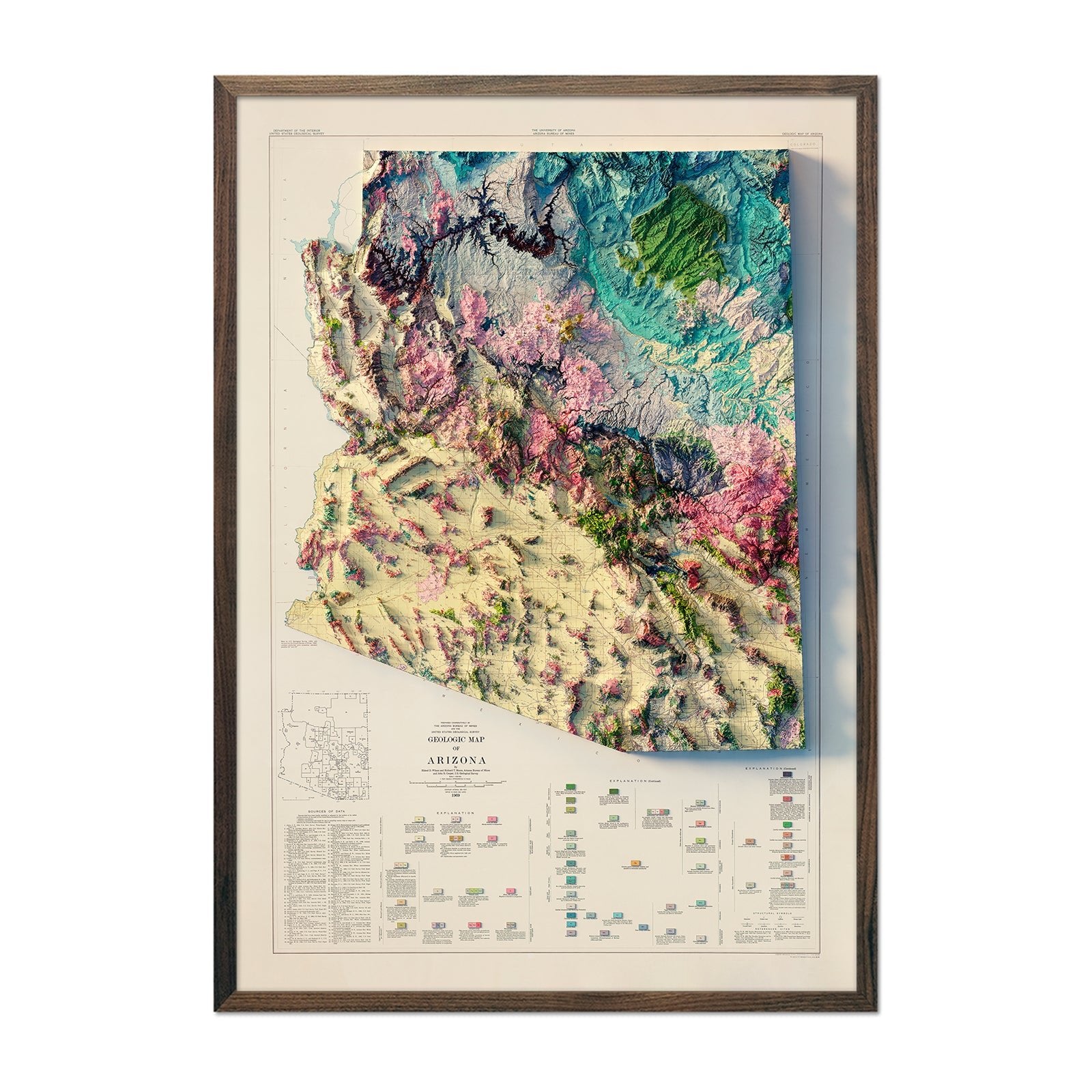
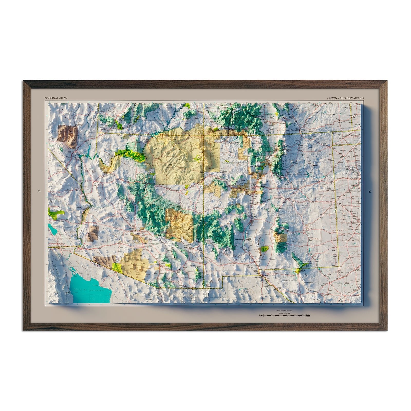
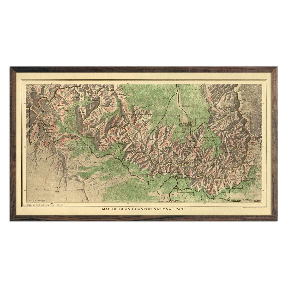
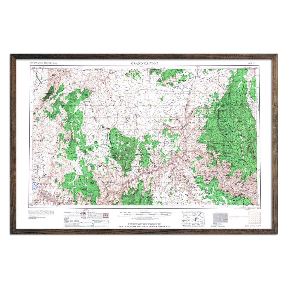
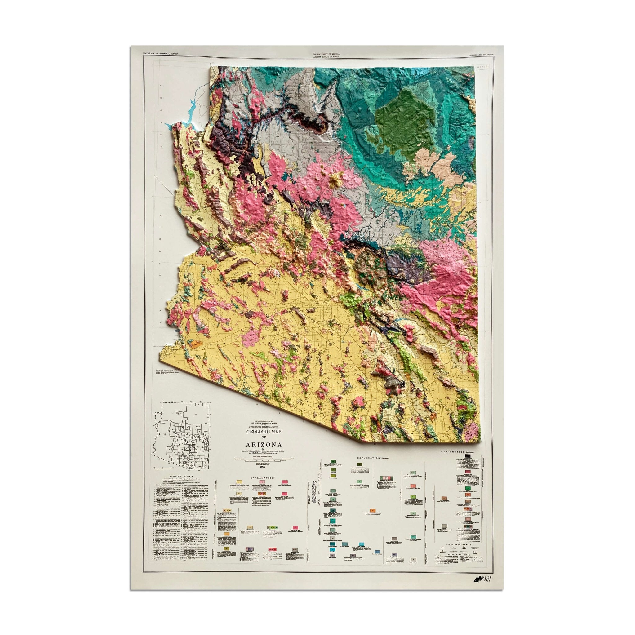
Other shaded relief maps in this collection include the Arizona 1903 shaded relief map, 1969 Arizona shaded relief map, and the Grand canyon 1976 shaded relief map.
The Salt River, another vital waterway, flows through central Arizona, providing essential water supplies and generating hydroelectric power. Lakes formed by dams on this river, like Theodore Roosevelt Lake, offer splendid spots for boating and fishing.
Lake Havasu, situated on the Colorado River, is renowned for its clear waters and vibrant recreational scene, including boating, fishing, and swimming, and it famously houses the relocated London Bridge, becoming a peculiar yet beloved attraction in the arid landscape.
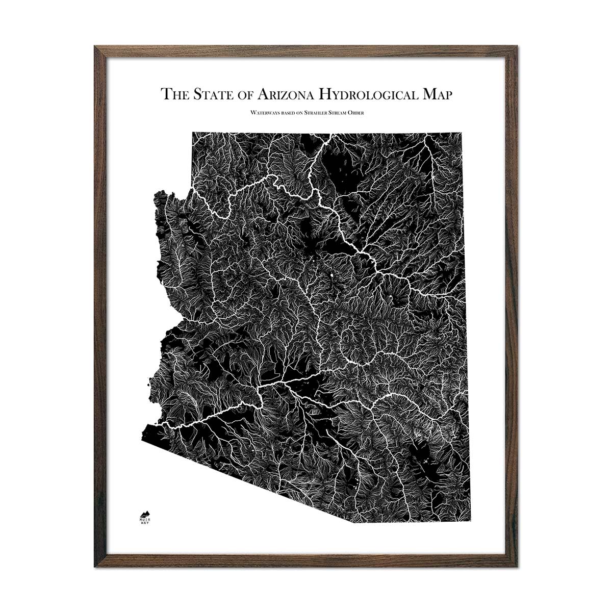
Our Arizona Hydrological map depicts every river in the state—even intermittent streams—and every body of water with a diameter greater than .2 miles. For an extra aesthetic touch, we apply a method called the Strahler Stream Order to show the hierarchy of streams as they flow from their source—rivers are shown thicker as they acquire the flow of tributaries. We think it enhances a sense of the interconnectedness of our waterways.
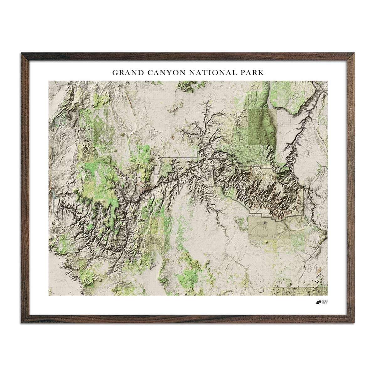
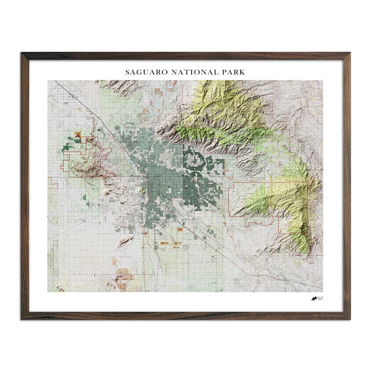
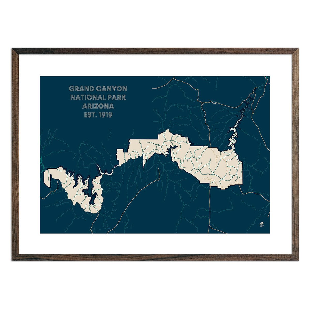
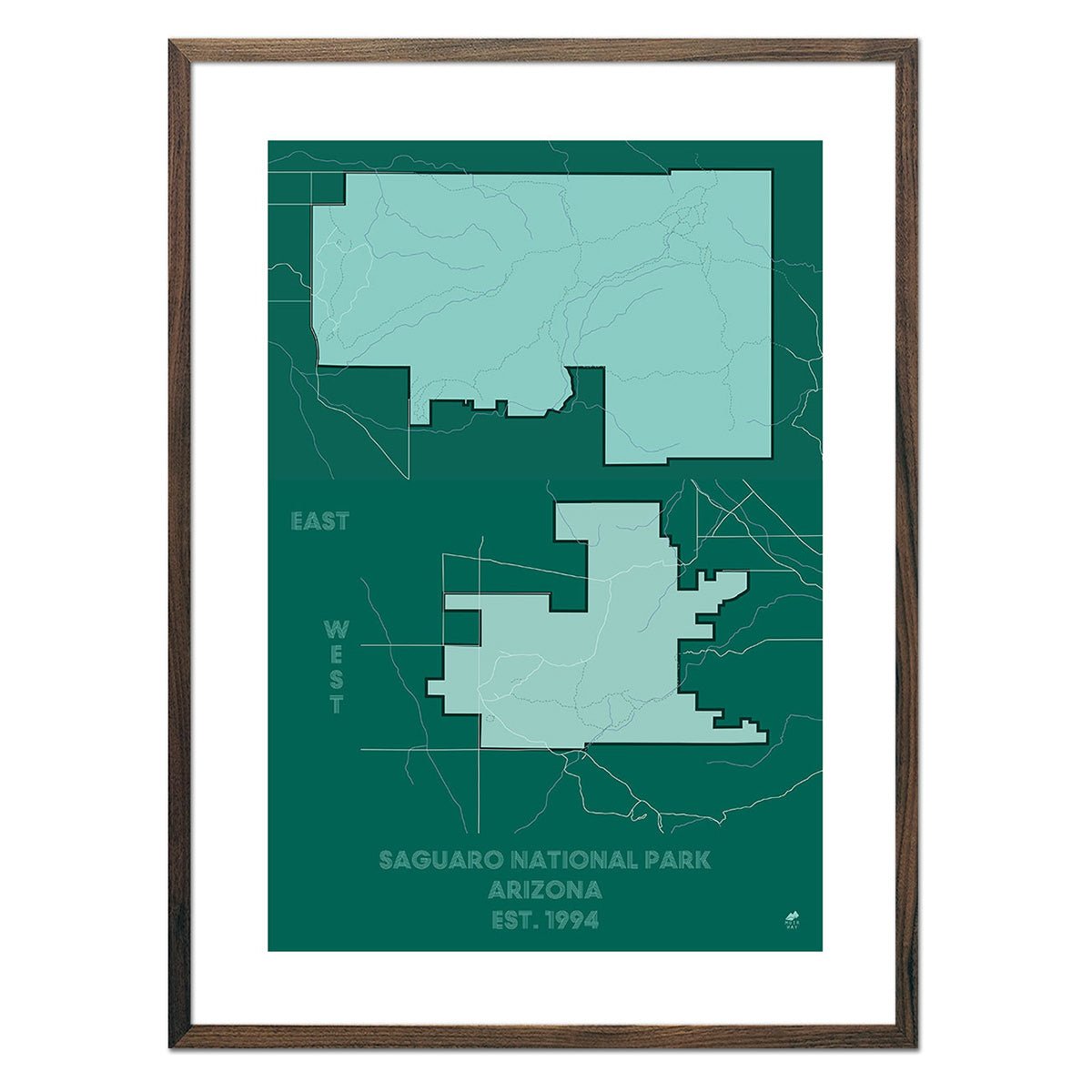
Arizona is home to two of the most popular national parks in the U.S. - Grand Canyon National Park and Saguaro National Park. Our National Park Series of maps feature a clean, modern aesthetic inspired by the park maps given out at the ranger stations.
If you like our collection of Arizona map prints, you may also be interested in maps of other Southwest states. Click below to browse:
