


COLORADO MAP ART, SHADED RELIEF & HYDROLOGICAL MAPS
Explore Colorado’s rich topography with Muir Way’s map prints. Our collection of over 50 shaded relief maps, elevation maps, hydrological maps, and restored historical maps highlight Colorado’s diverse features, including the Rocky Mountains, eastern plains, Colorado plateau, and Wyoming Basin, as well as the state’s distinct waterways, canyons, hot springs, lakes, plains, forests, and more.
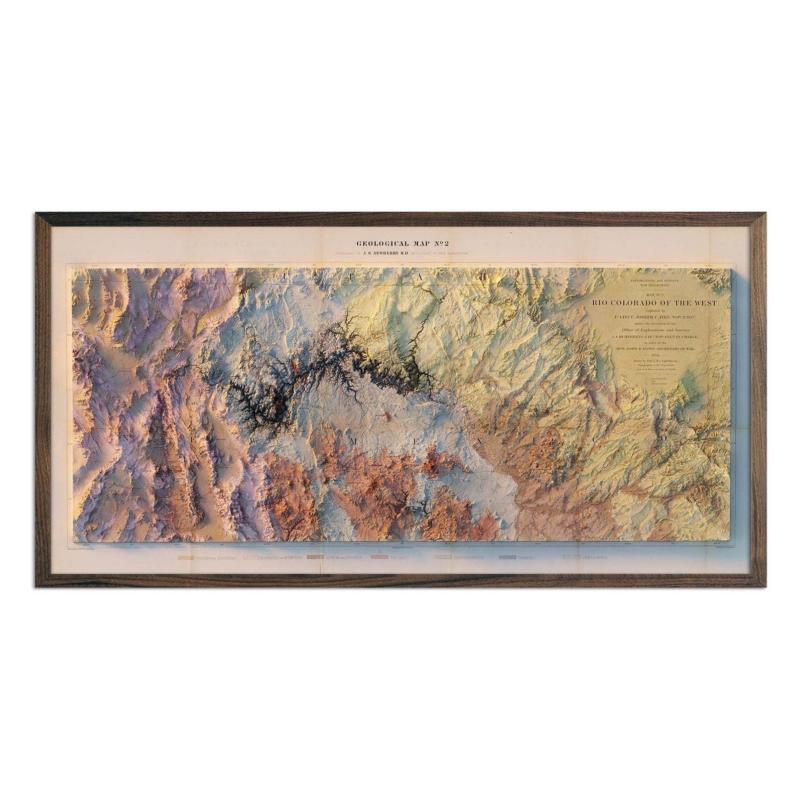
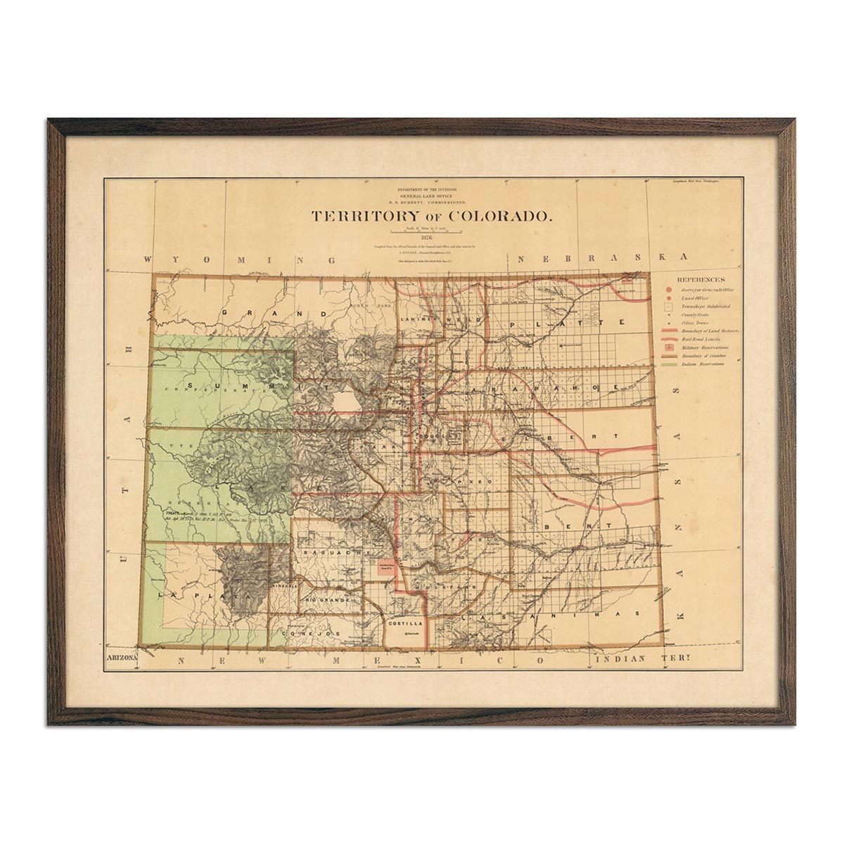
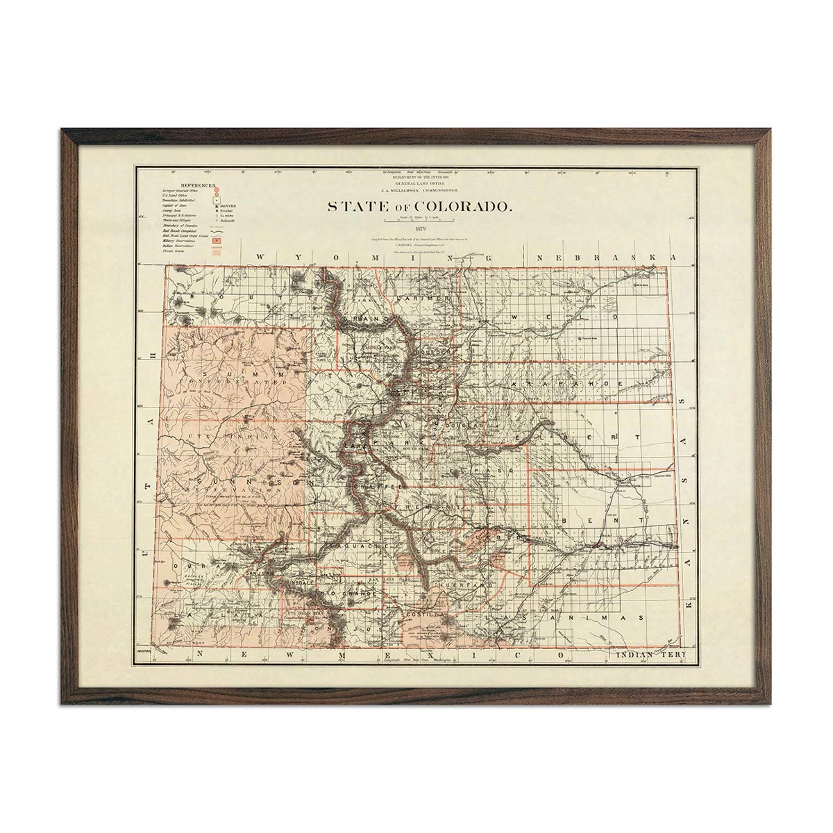
Established in 1876, Colorado is appropriately named the Centennial State. Our vintage maps recall some of the earliest maps created just after Colorado’s statehood was established. Reproduction prints include our vintage Colorado map from 1883 and 1879, as well as our 1876 Colorado territory map.
Museum-Quality Map Prints from Muir Way
We custom print our Colorado maps on fine art paper certified to last 100 years. We use top-quality archival inks on 100% cotton, OBA-Free, and Acid-Free heavyweight paper. Select maps are available on attractive, gallery-wrapped canvas, which is stretched over the frame and covers the stretcher bars beneath. The result is a professionally-finished map with a sleek design.
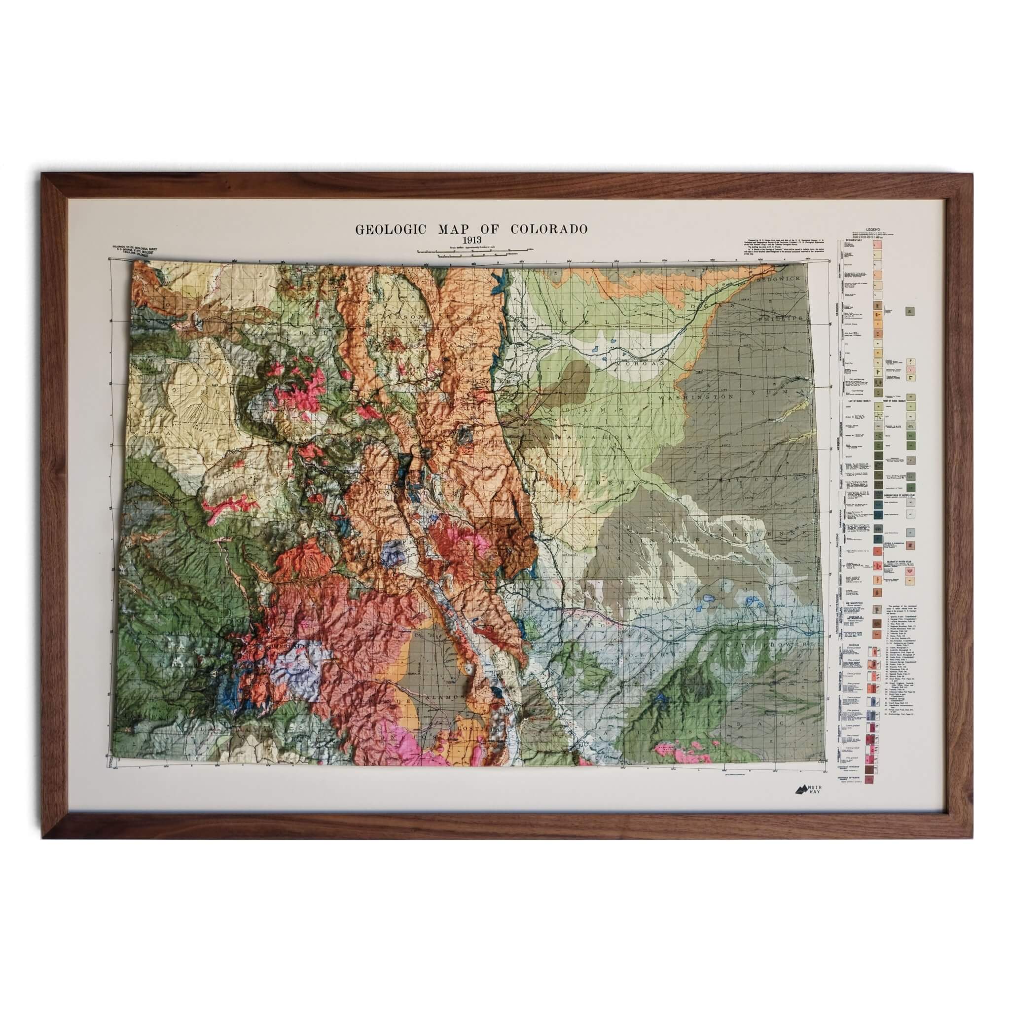
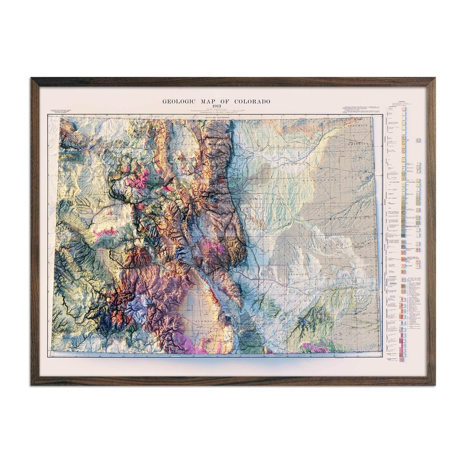
Our Colorado relief maps combine classic historical map imagery with advanced technology to showcase Colorado’s beautiful topography while making a lasting impression.
Bringing a Piece of History into your Home or Office
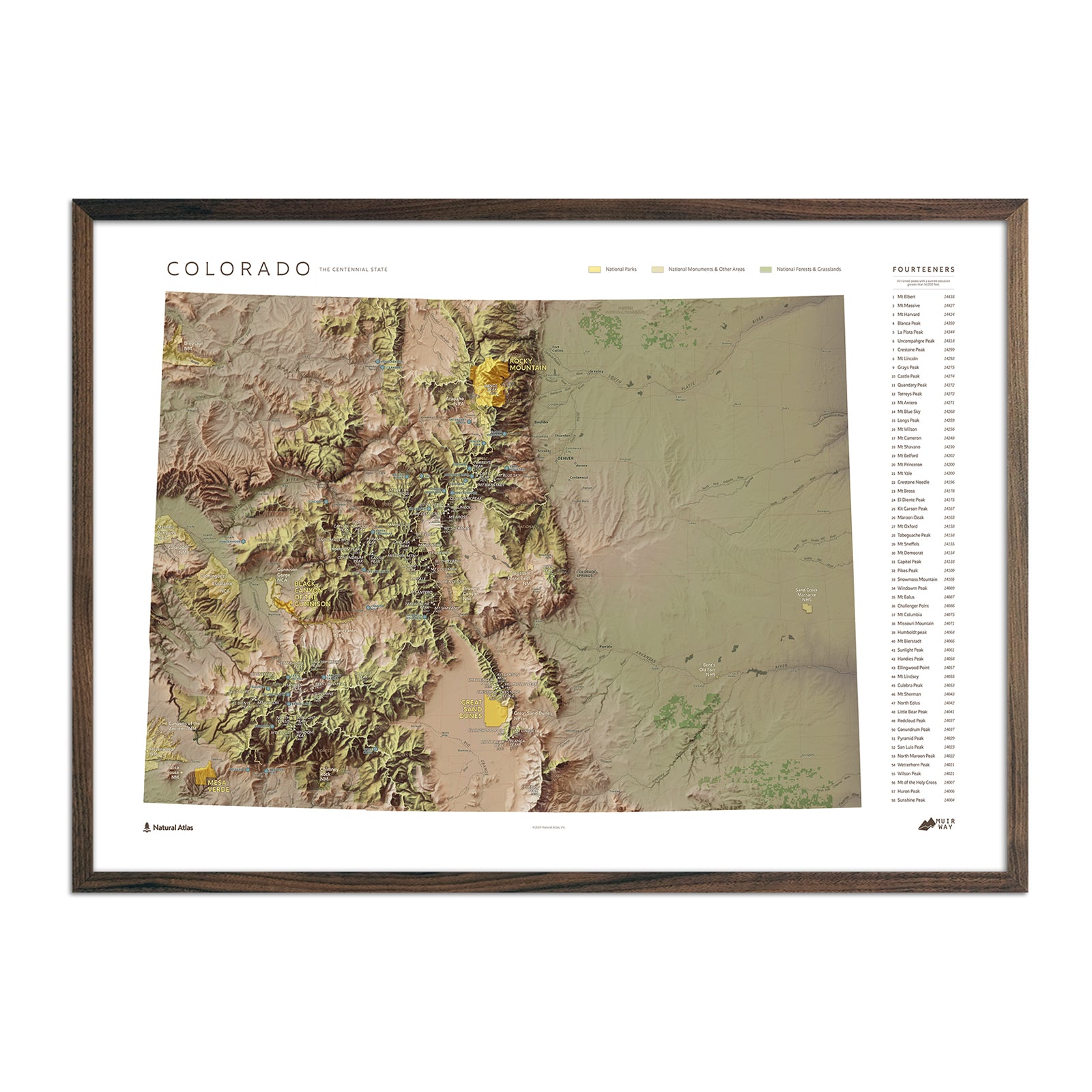
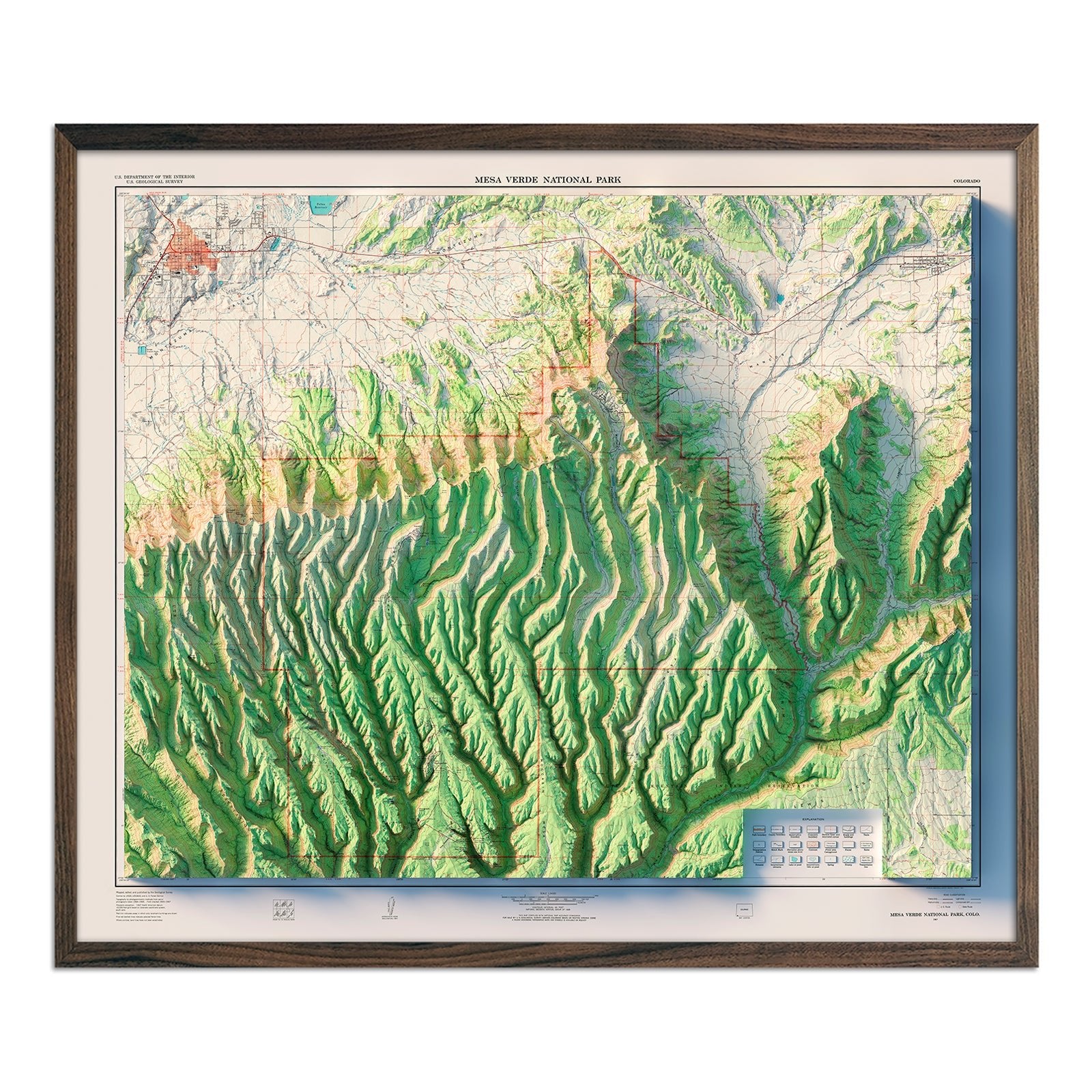
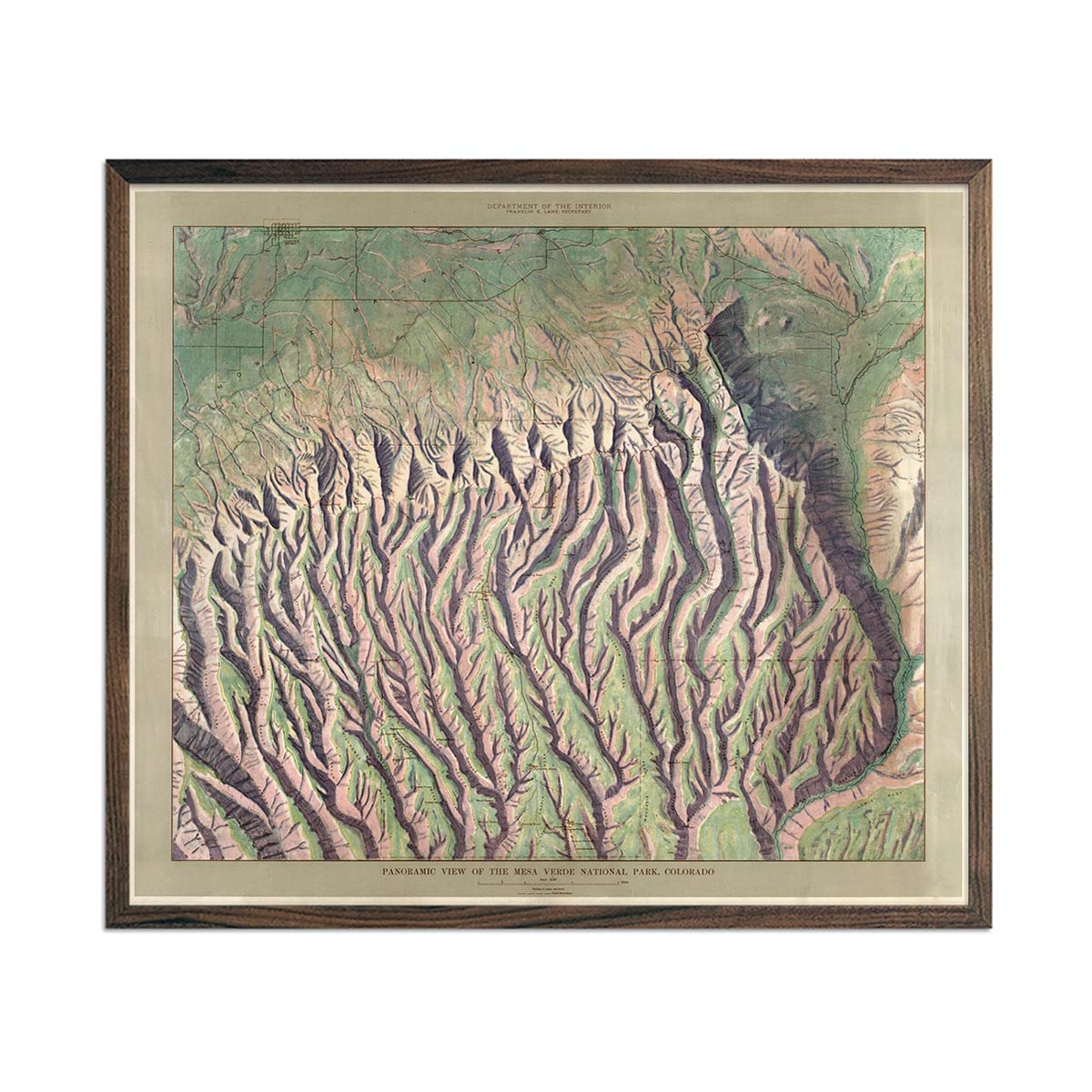
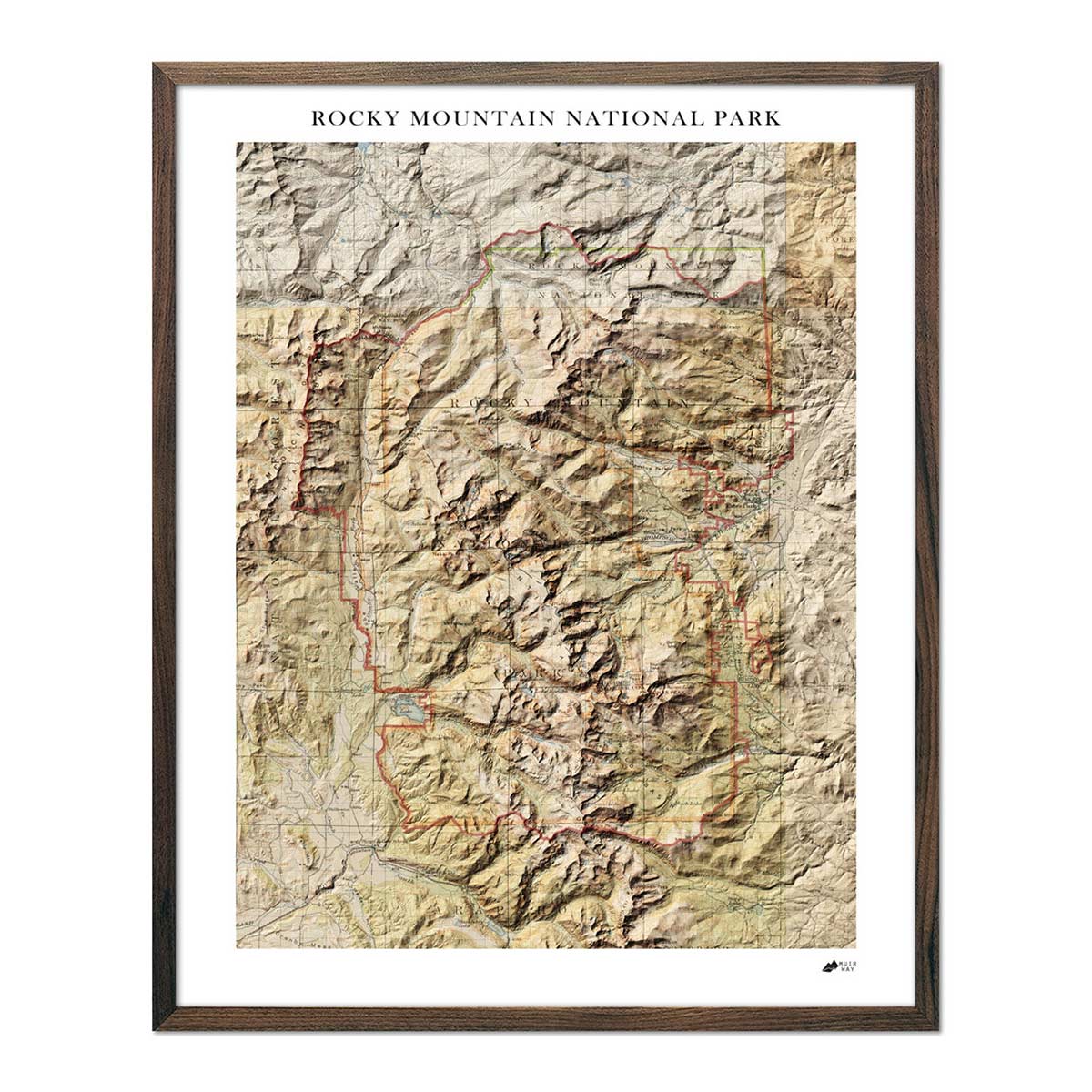
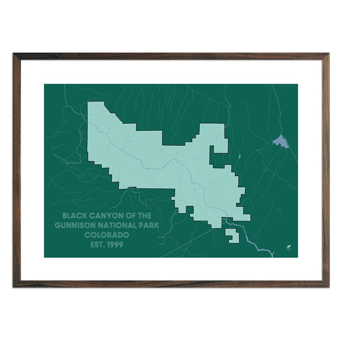
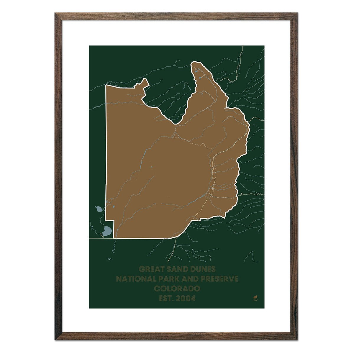
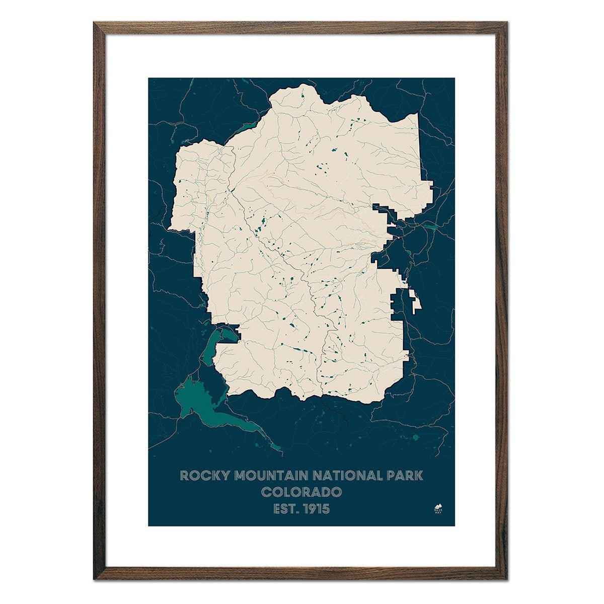
President Woodrow Wilson signed the Rocky Mountain National Park Act on January 26, 1915, paving the way for the creation of Mesa Verde National Park, Black Canyon of the Gunnison, and Great Sand Dunes National Park - all captured in detail in our national park maps.
All maps are available in real walnut wood frames, or you can choose a frameless print to match the unique look of your home or office. Whether you’re looking to capture the memory of a recent trip or want to send a gift to your favorite outdoor adventurer, our Colorado map prints are a perfect addition to any home or office.
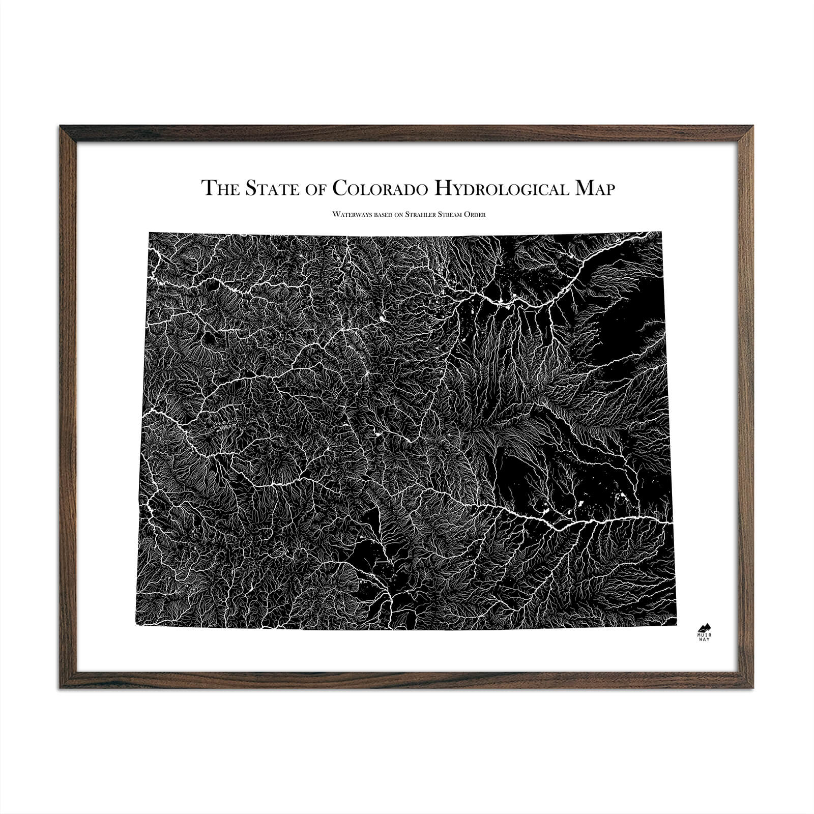
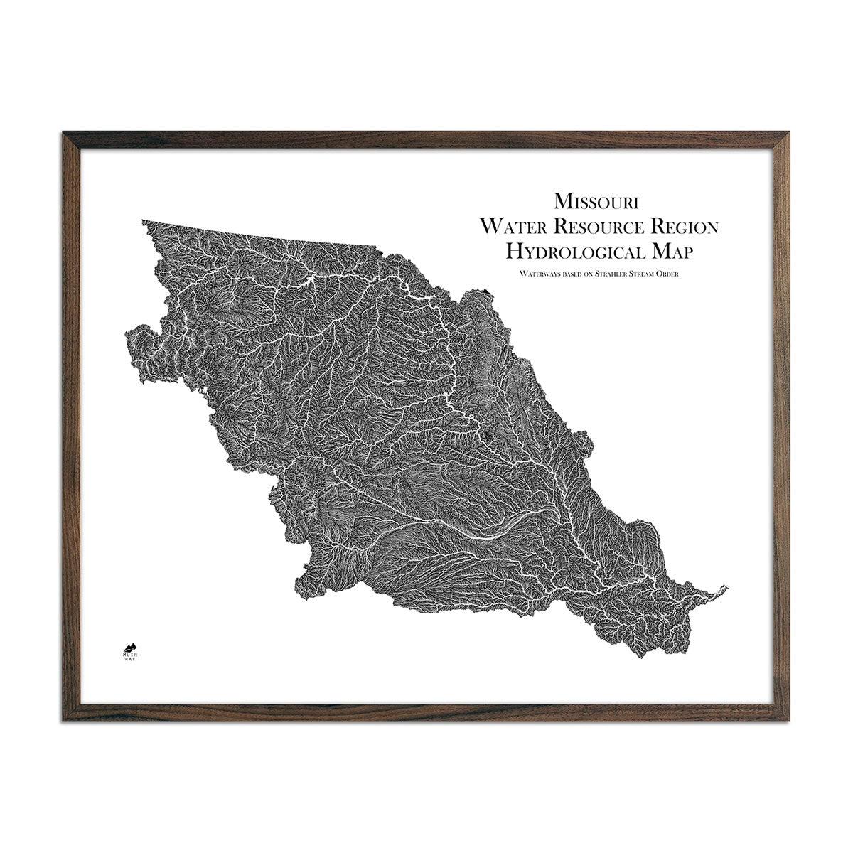
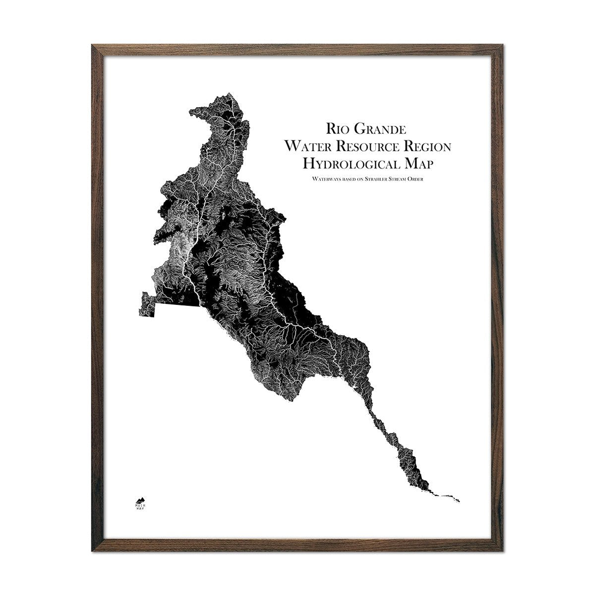
A Unique Way To Visualize Colorado’s Waterways & Mountain Peaks
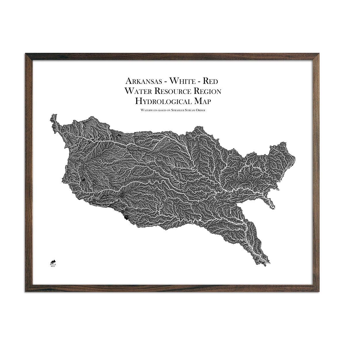
Colorado is home to more than 107,000 miles of rivers, which flow deep and long after the snow melts in late spring. Our hydrological maps track every river, stream, and body of water over 0.2 miles in diameter in crisp detail using the Strahler Stream Order to show the hierarchy of streams as they flow from their source and intersect. From the Rio Grande to the Colorado River, you can view Colorado’s waterways in black and white or your choice of blue or green.
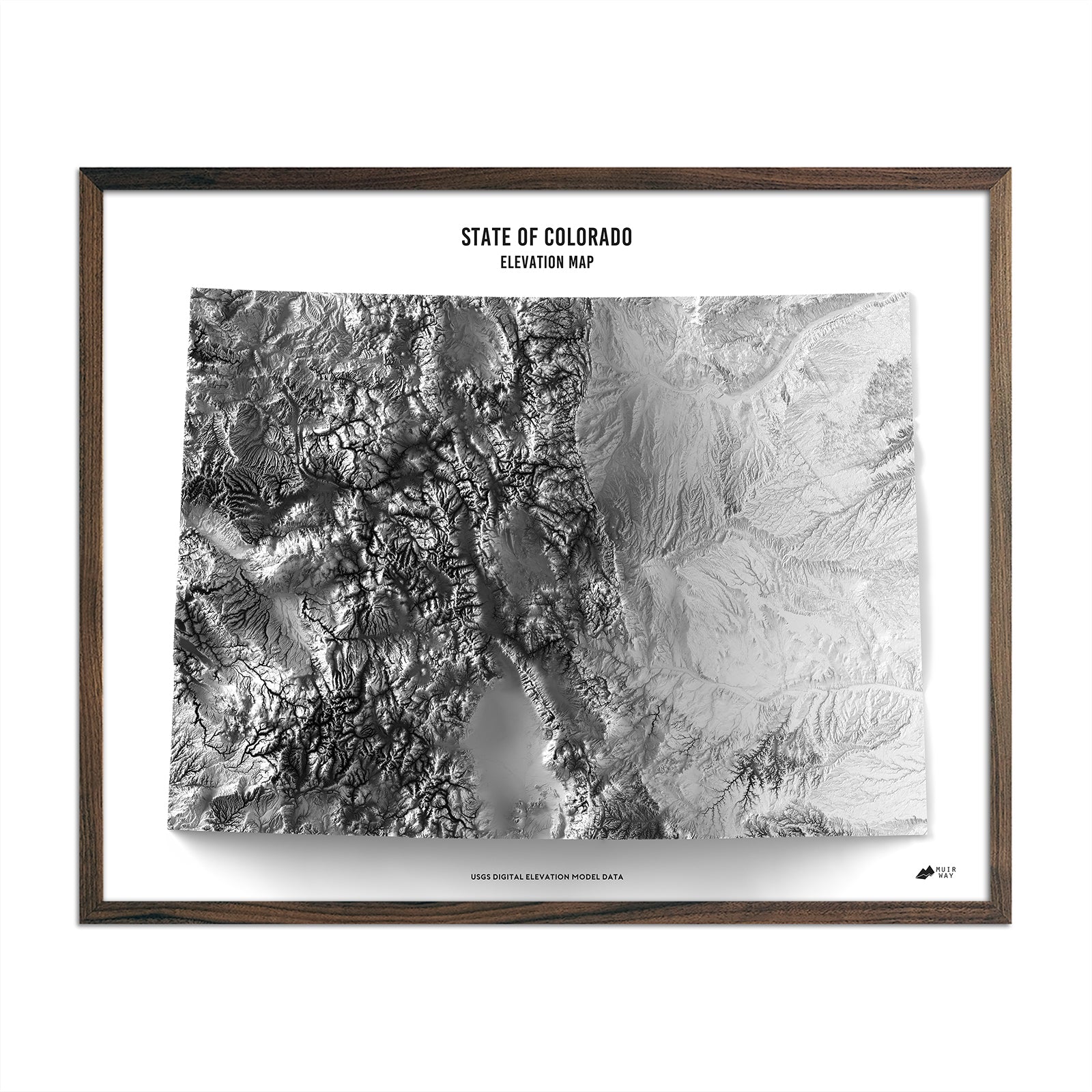
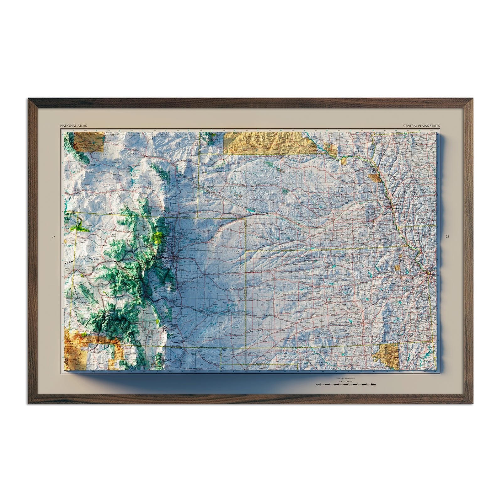
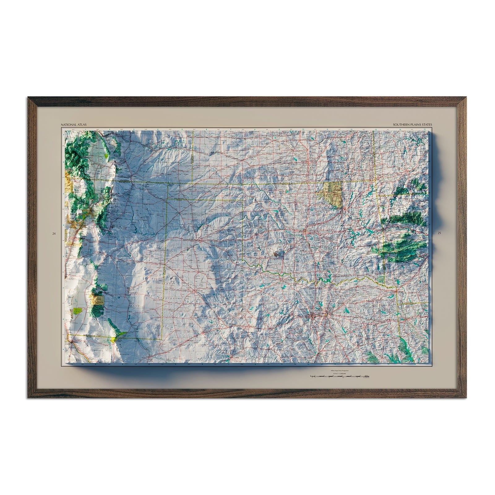
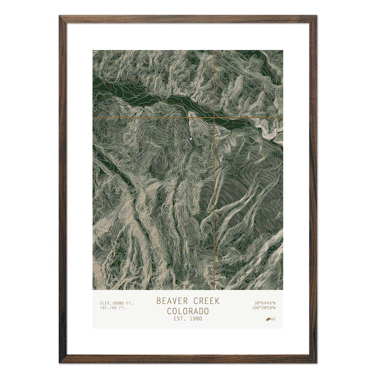
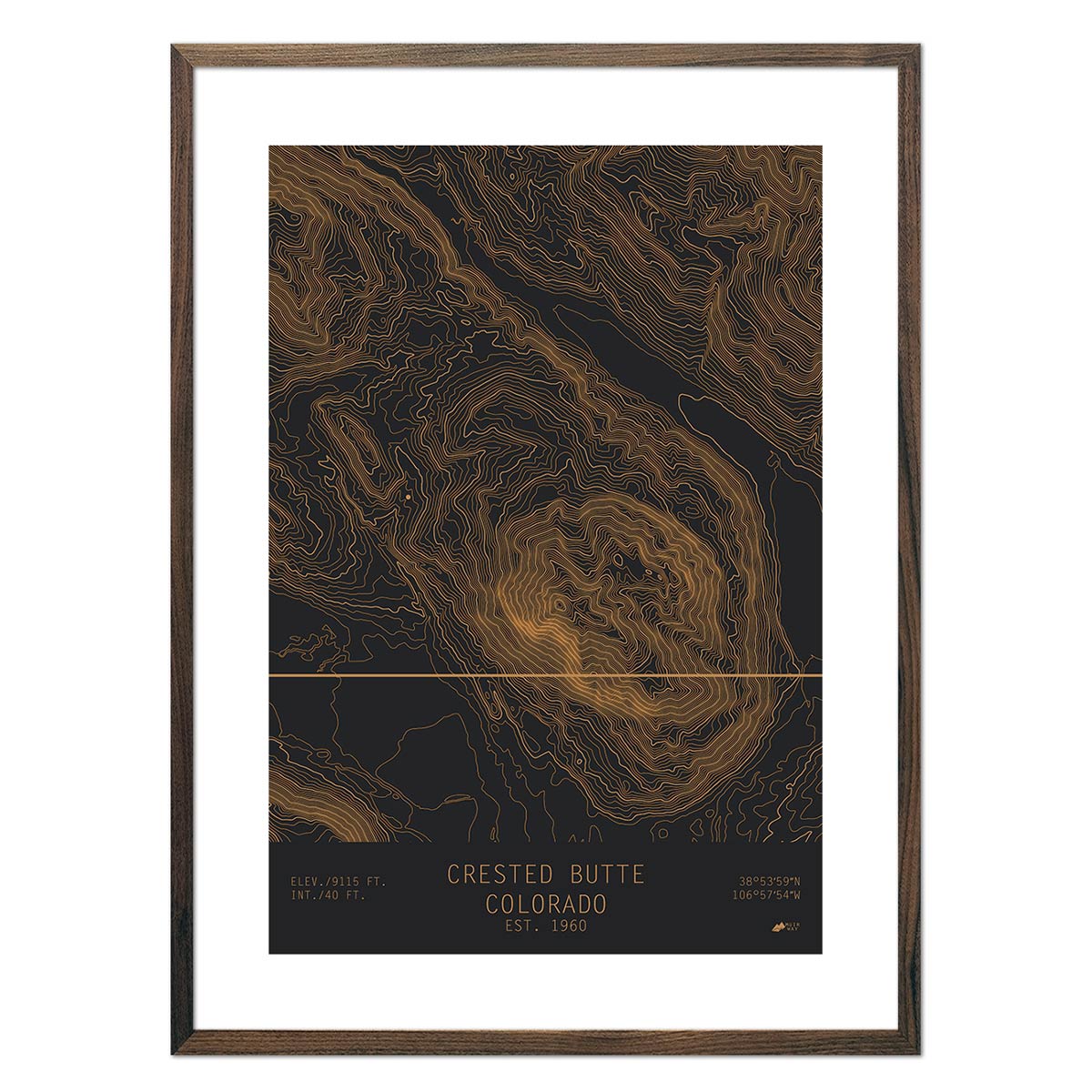
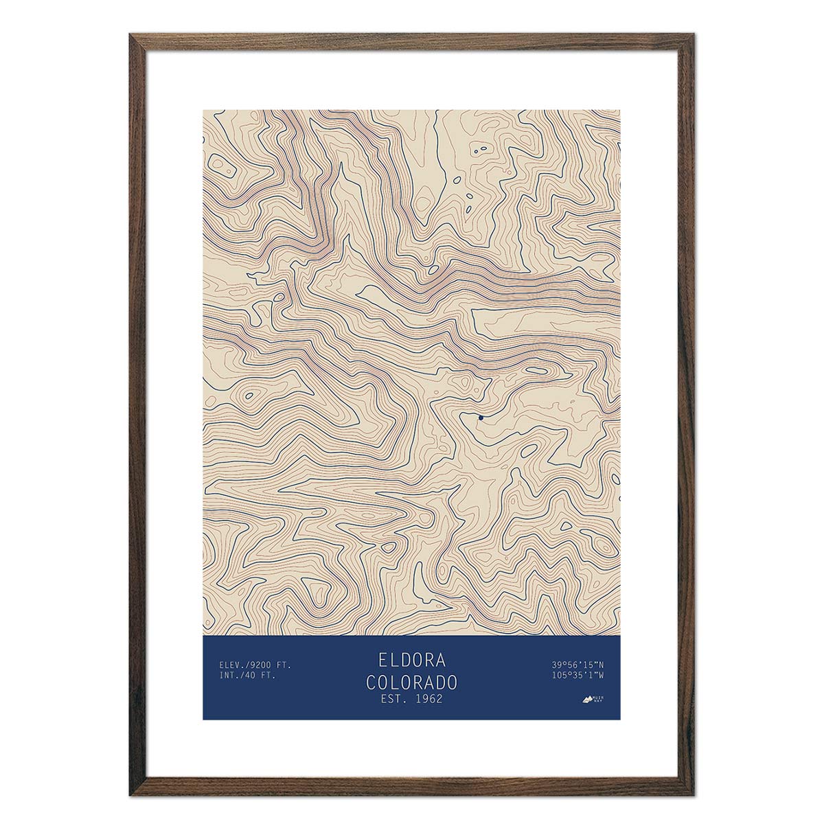
Colorado’s most distinct topographical feature is its mountainous terrain. The state boasts some of the tallest peaks in the U.S., including Mount Elbert, Pikes Peak, Longs Peak, and Mount Evans - all exceeding 14,000 feet. We use Digital Elevation Data from the USGS to create a 3-dimensional effect for our black and white Colorado elevation map.
Shop for Colorado Map Art Prints Online at Muir Way
Whether you are a historian, traveler, outdoor enthusiast, or just looking for a decorative piece, we carry a wide range of Colorado relief map prints. Proudly made in the USA, enjoy free shipping on all orders over $49.
If you like our collection of Colorado maps, you may also be interested in maps of our other Mountain States including: