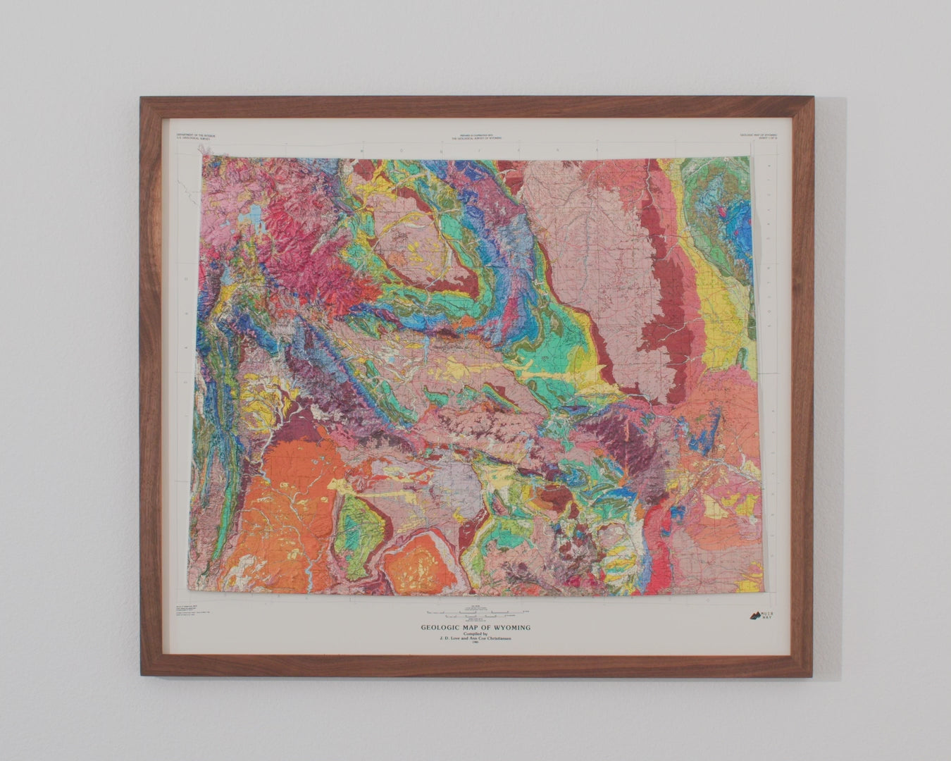
The Teton Range at the heart of this 1985 Wyoming map is a study in contrasts: the granite that caps peaks like Grand Teton cooled roughly 2.5 billion years ago, among the oldest exposed rock in North America, yet the range itself is geologically young — thrust skyward by movement along the Teton Fault beginning around 10 million years ago, a fault that remains active today. Add in the glaciers that carved Jackson Lake's valley during the last ice age, and Wyoming's high country tells one of the more dramatic geologic stories in the American West — a story this map now renders in true raised relief.
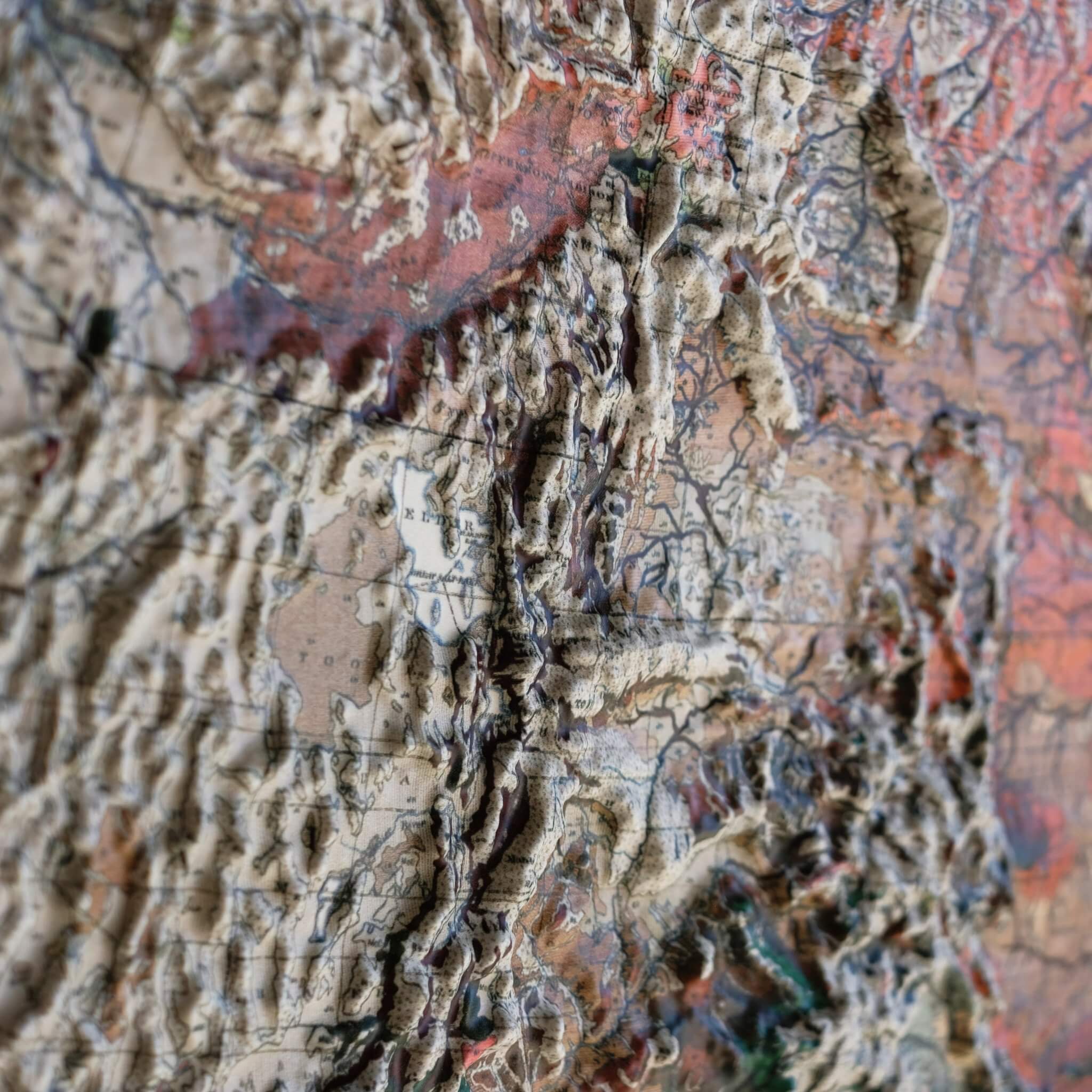
To create this piece, the original historical map is printed in full color, then heated and vacuum-formed over a precisely sculpted three-dimensional mold. That mold is built from modern digital elevation data, so every peak, fault line, and valley you see is genuine raised, textured topography — not a flat illustration, but terrain you can actually feel.
Our framed maps have no glass or acrylic covering them, so you're free to reach out and touch the map, tracing mountain ranges and exploring the terrain's intricacies with your fingertips.
For the flat, framed fine-art-print version of this map, click here.
PLEASE NOTE: You will love this map if you embrace its anomalies. When the plastic is heated and stretched over the 3D mold, the image may be altered, causing warped lines and text around higher elevations. The fine print on plastic is not as sharp as on paper, sometimes rendering very small text illegible.
- Size - unframed 28x24 inches
- Size - framed 29x25 inches
- Material - plastic mounted on foam board
- Handmade real Walnut frame available
- Individually made in our San Diego, CA shop