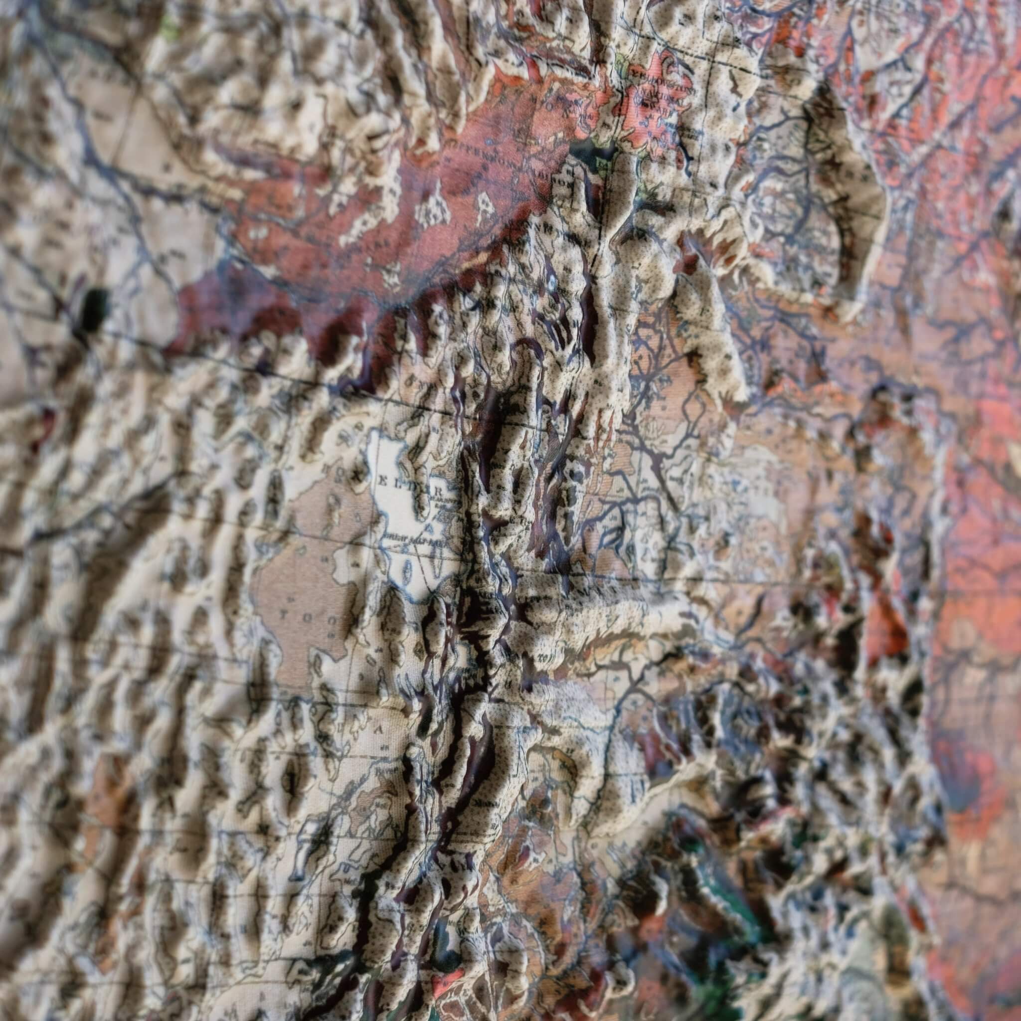
A Muir Way original, our 3D Raised Relief Map of Montana traces the state's enormous range of terrain, from Granite Peak — at 12,807 feet the highest point in the state, rising in the Beartooth Mountains — down to the Great Plains stretching east. In Glacier National Park, ancient rock was thrust up and over much younger layers roughly 170 million years ago in an event called the Lewis Overthrust, which still shapes the park's jagged peaks today.
Formed by heating durable plastic and vacuum-forming it over a precisely sculpted 3D mold built from modern digital elevation data, this map lets you see — and feel — Montana's terrain in a way no flat print can match.
Simplicity at its finest, the map is left completely white with no print or text, the better to highlight the complexity of the terrain itself. It's best viewed near a light or window that can shine across it at an angle to increase the shadows.
Framed versions skip the glass or acrylic entirely, so you can run your hands over the landscape and explore its texture firsthand.
- Size - unframed 32x20 inches
- Size - framed 33x21 inches
- White plastic mounted on foamboard
- Handmade real Walnut frame available
- Individually made in our San Diego, CA shop