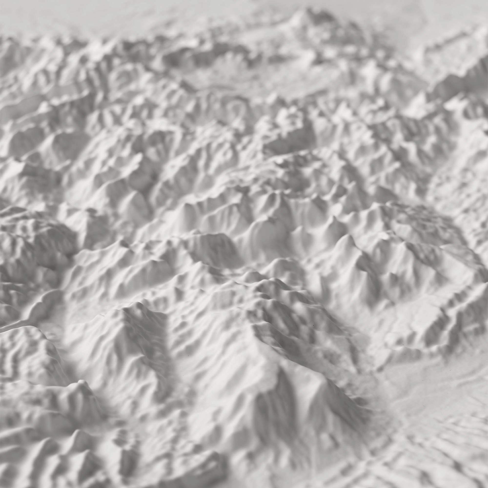
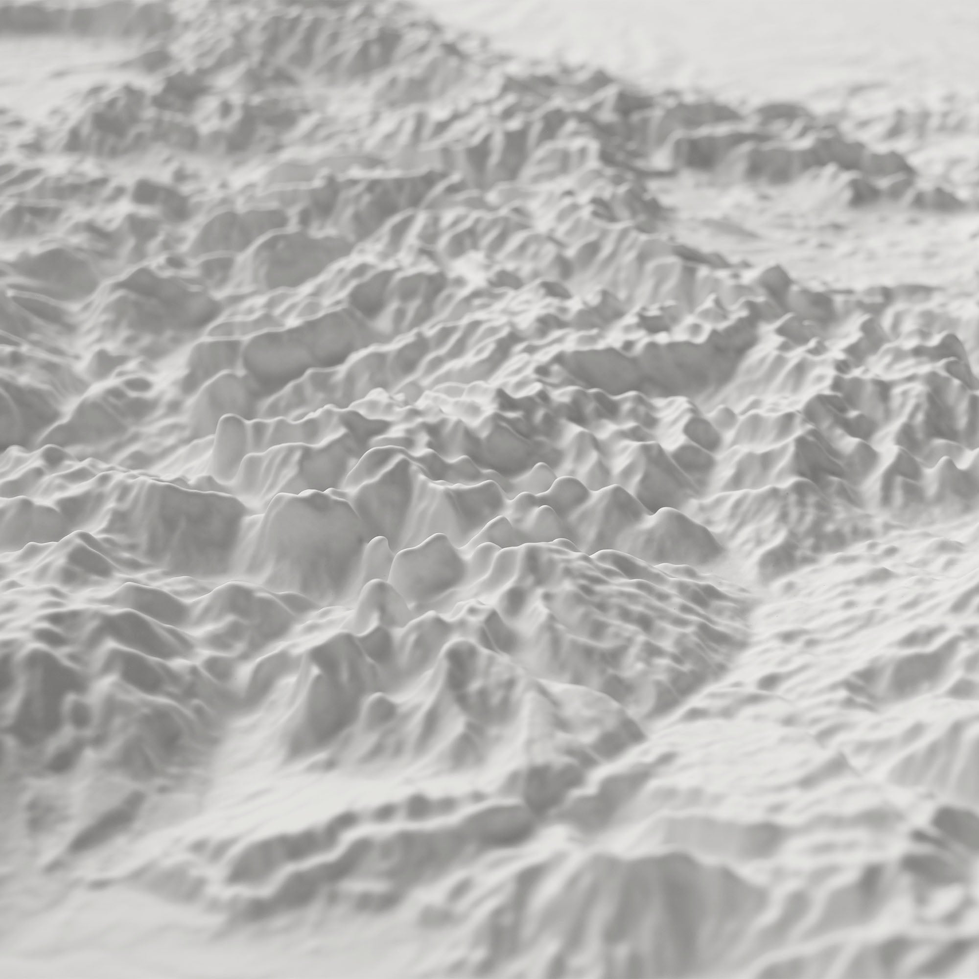
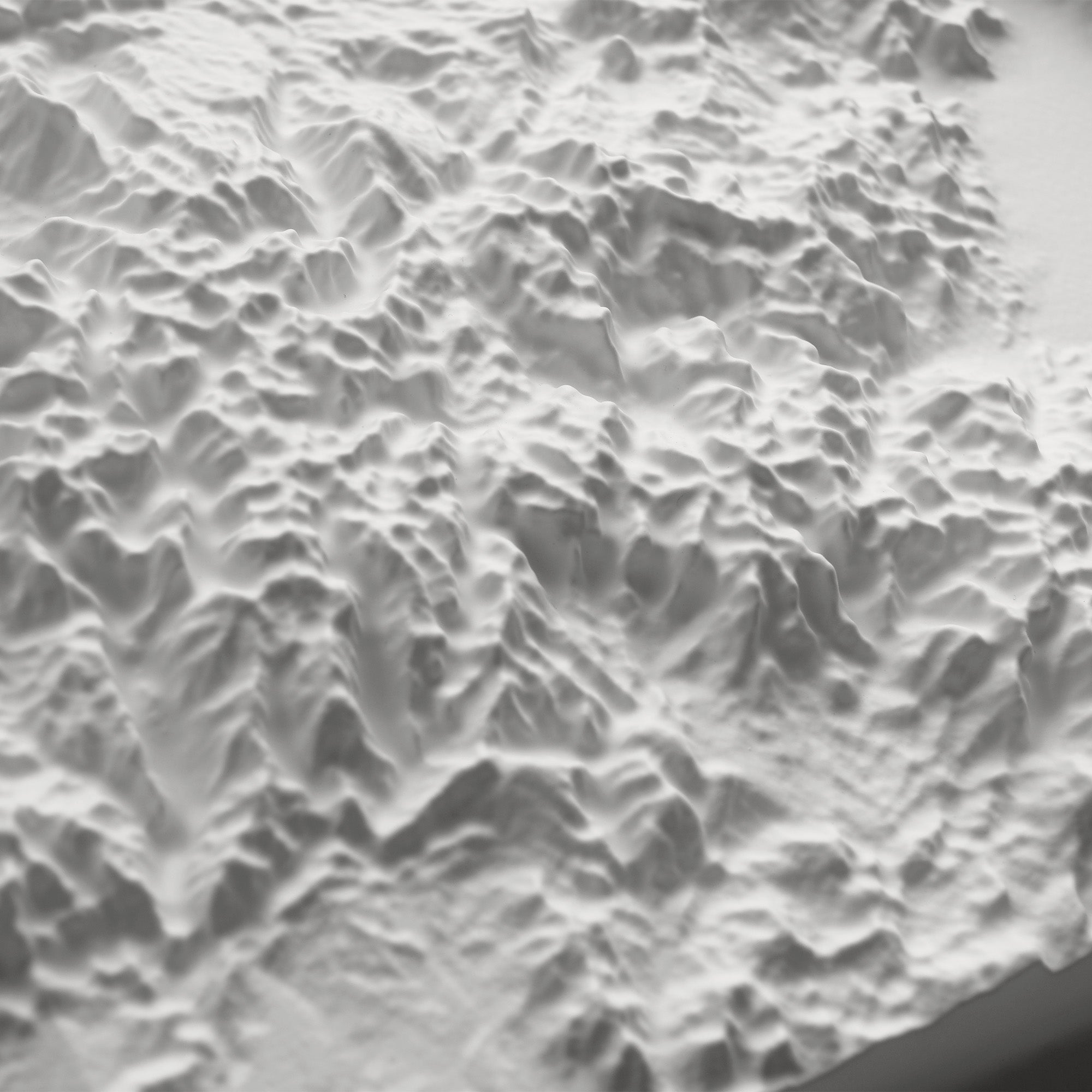
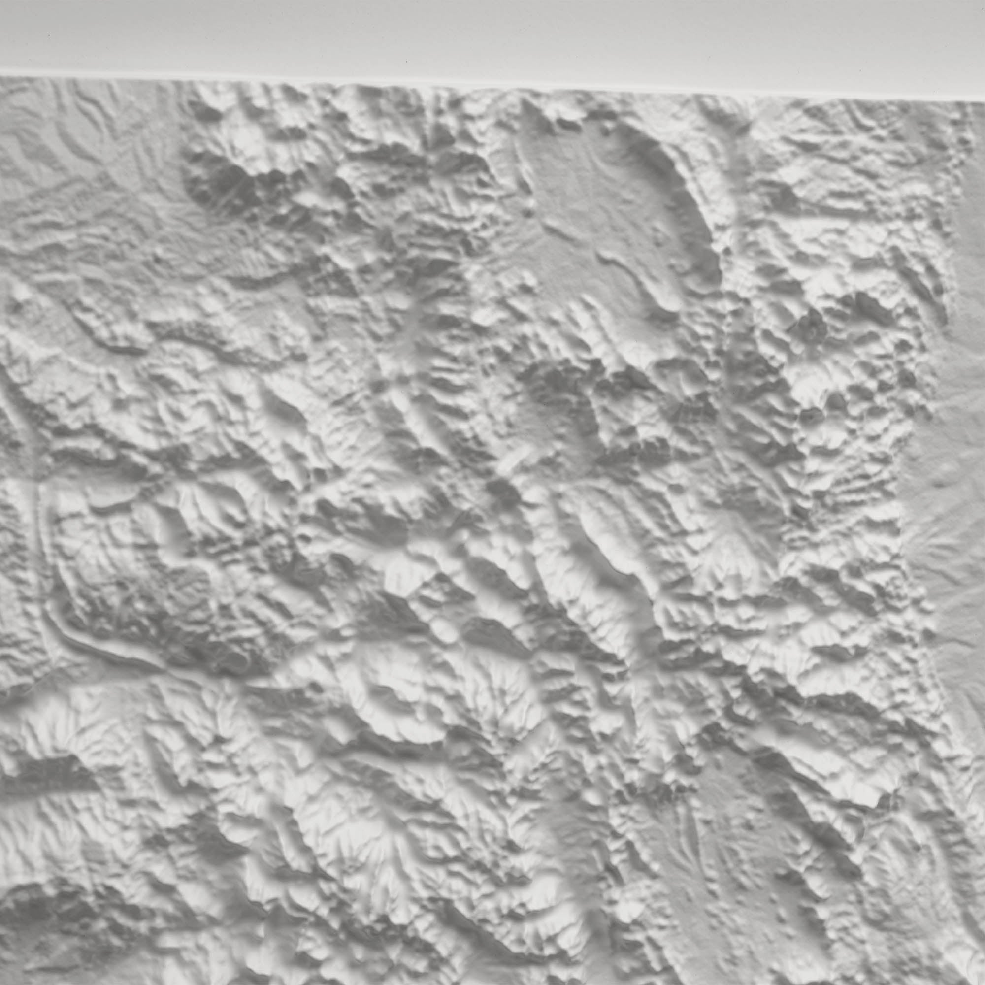
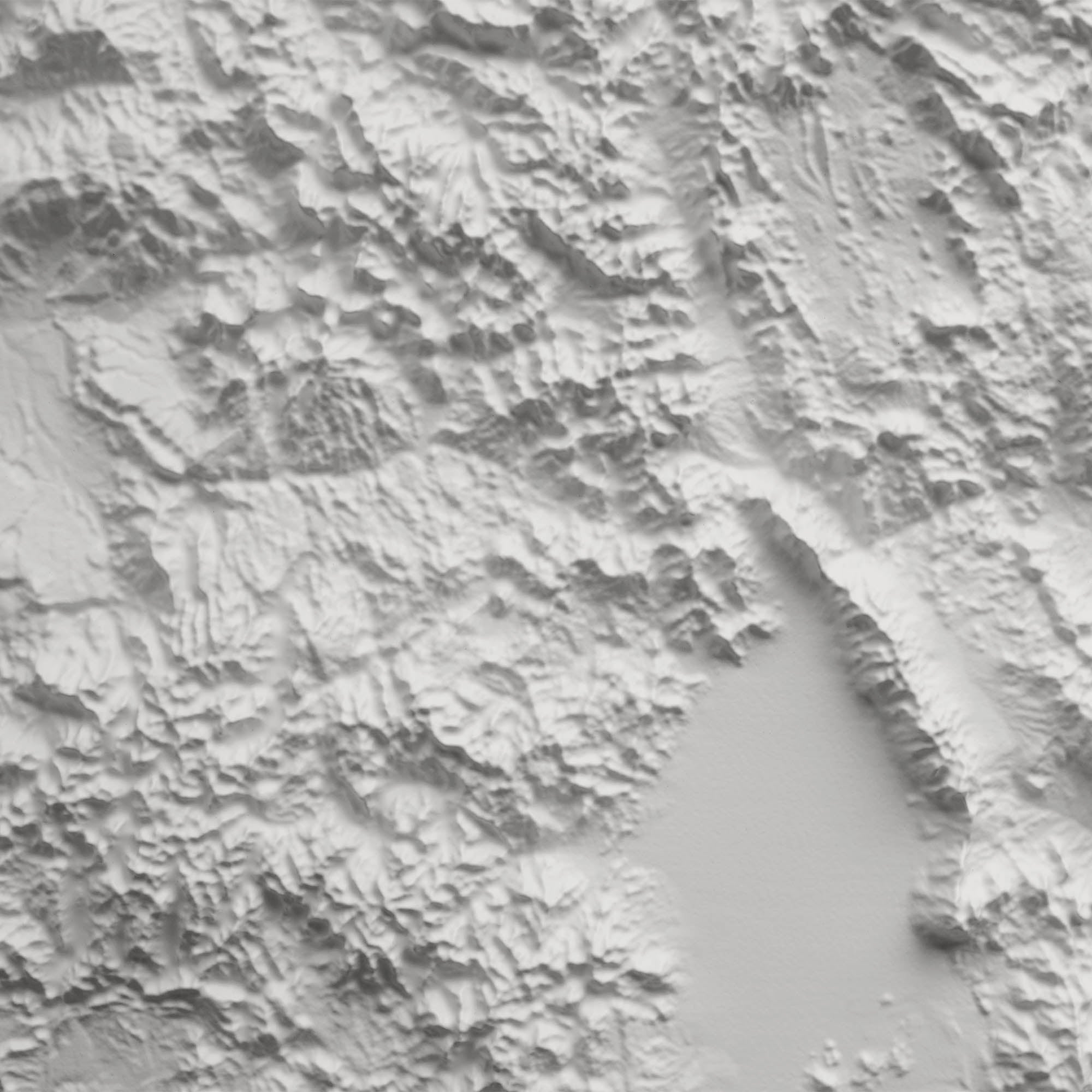
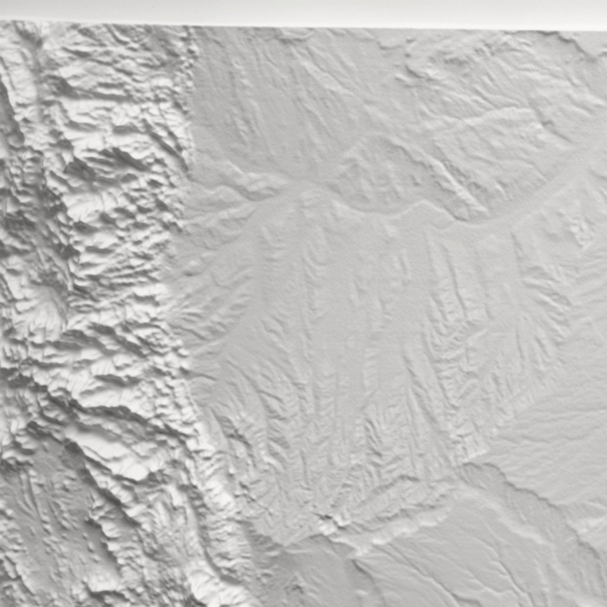
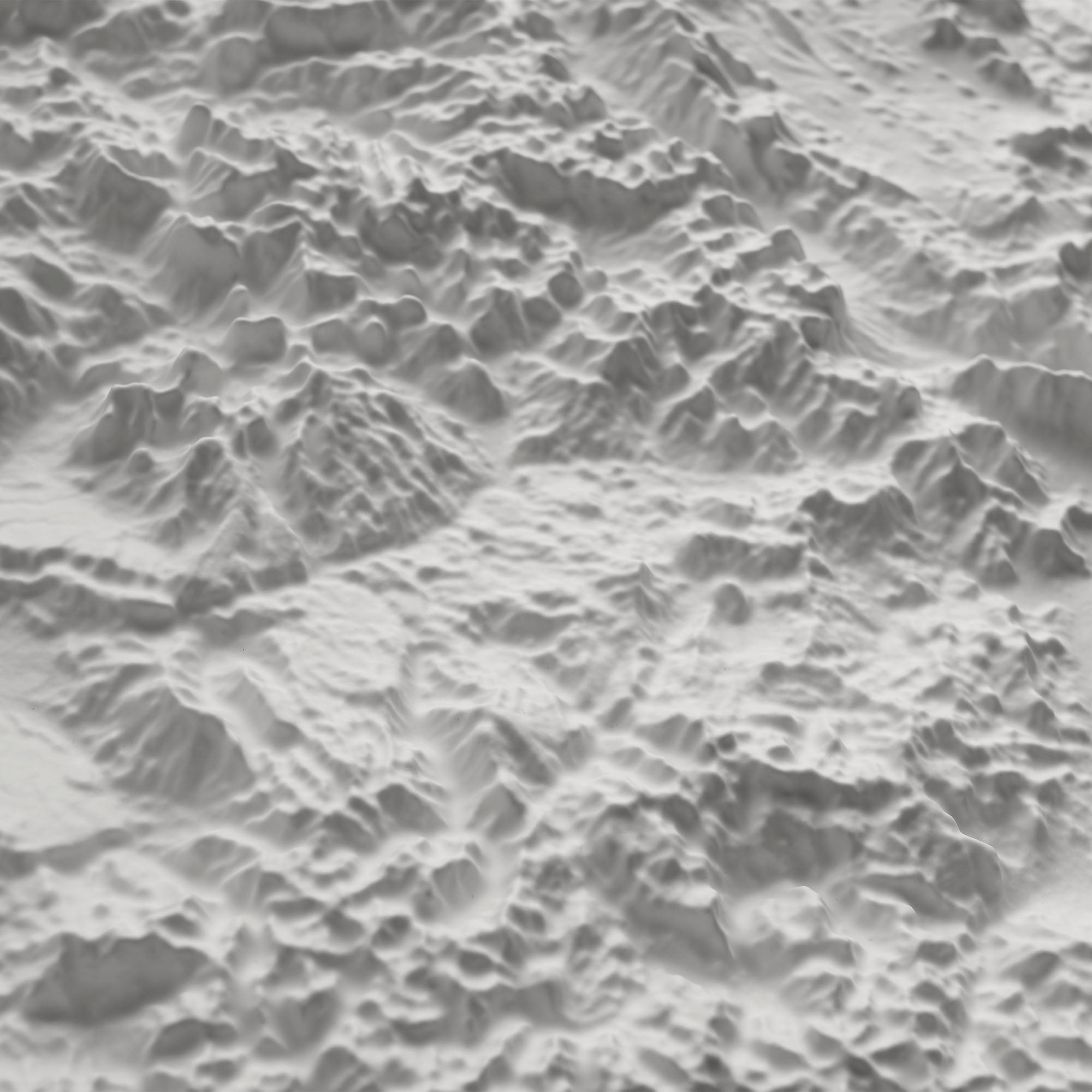
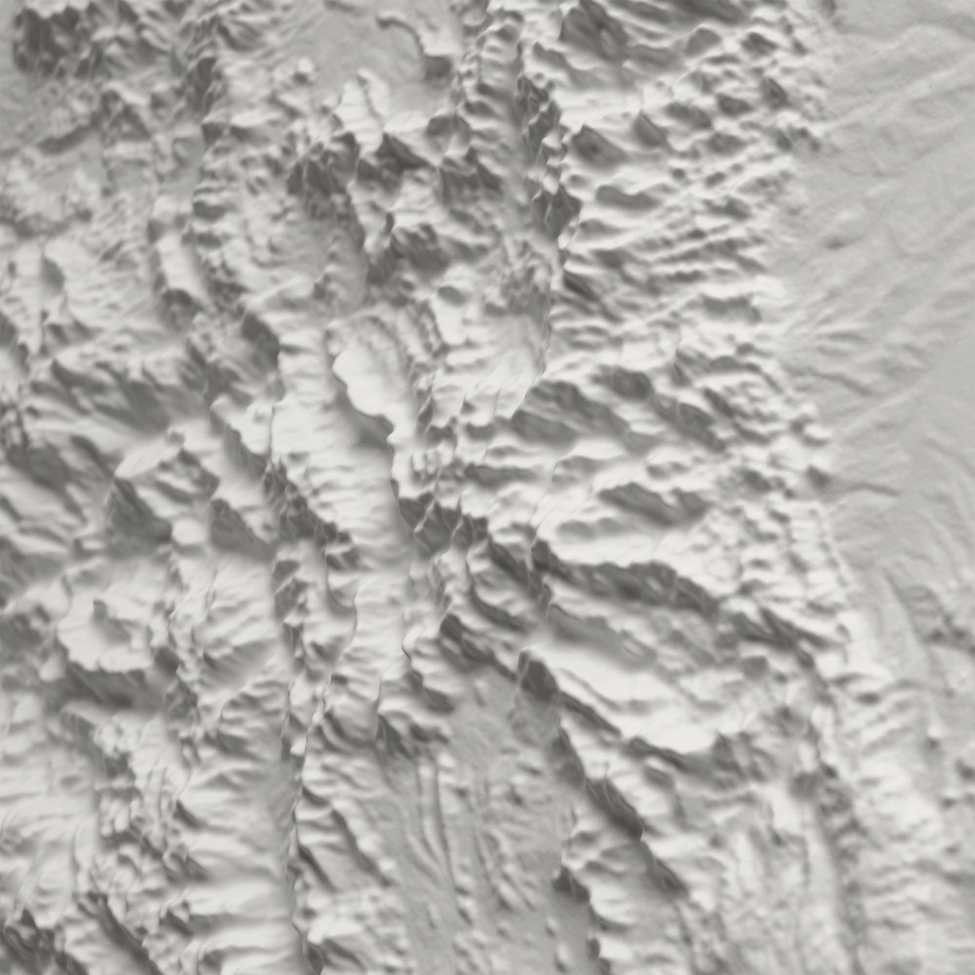
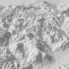
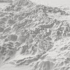
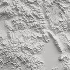
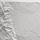
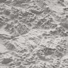
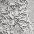
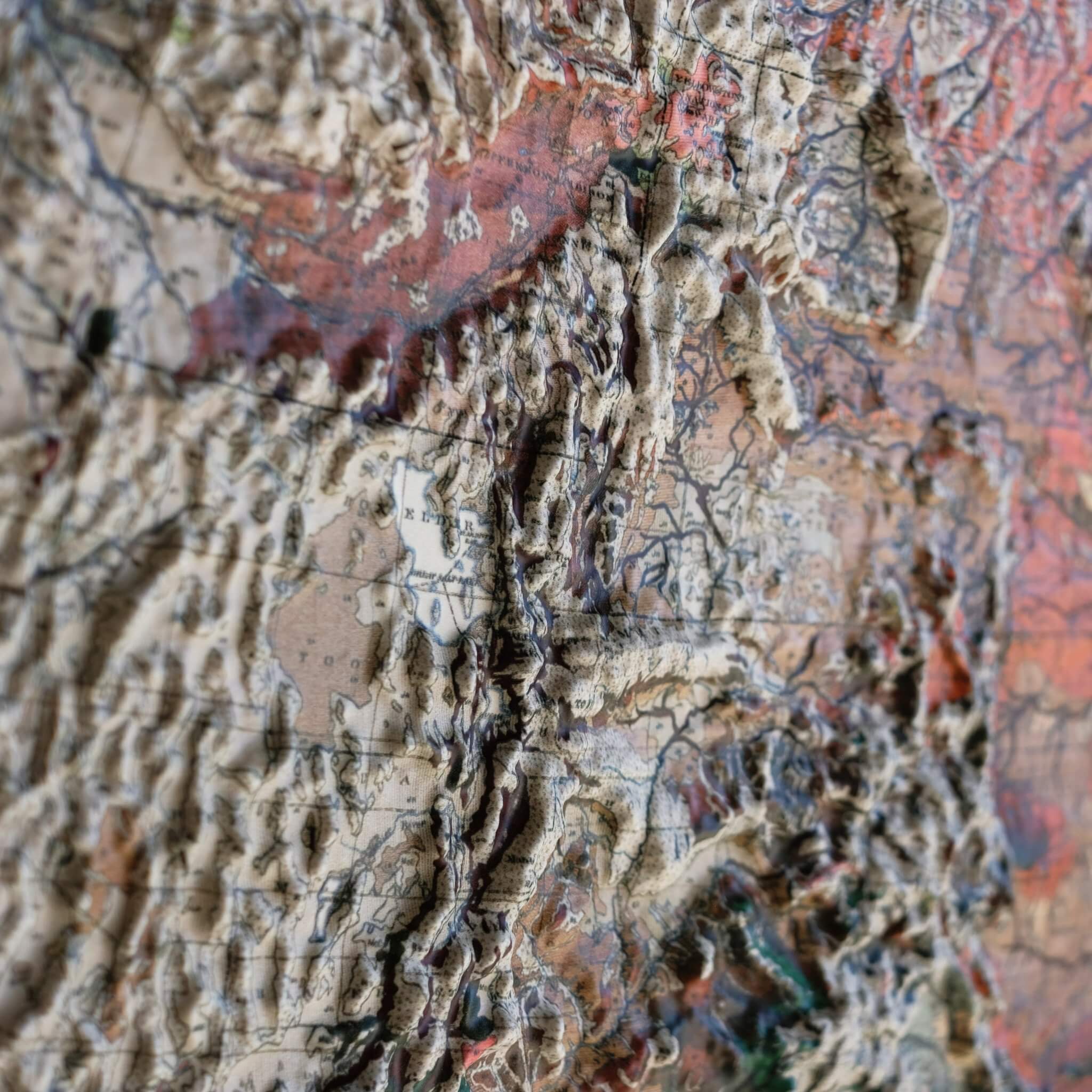
This 3D Raised Relief Map of Colorado is a Muir Way original, shaped around a fact that sets the state apart: Colorado has more named peaks above 14,000 feet than any other state in the country, strung along the spine of the Rocky Mountains and the Continental Divide. The map also captures the Black Canyon of the Gunnison, known for some of the steepest, deepest canyon walls in North America. Every bit of that dramatic high country is heated and vacuum-formed over a precisely sculpted 3D mold, so it's something you can feel, not just see.
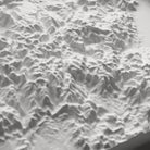
Each map begins as a flat sheet of durable plastic, heated until pliable and vacuum-formed over a mold sculpted from modern digital elevation data. The result is a genuinely three-dimensional terrain model—raised and textured down to individual peaks and canyon walls—not a flat print like our 2D Vintage Relief paper maps.
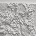
The entire map is left completely white, with no printed roads, labels, or text. That's intentional: with nothing else to look at, the terrain itself is the whole point. Place it near a window or lamp and view it at an angle, since the shadows raking across the surface are what reveal the relief's detail.
Framed versions have no glass or acrylic covering the terrain, so the map stays fully touchable. Run your hand across the Rockies and down into the Black Canyon of the Gunnison and feel the real elevation change of Colorado's high country.
- Size - unframed 31x24 inches
- Size - framed 32x25 inches
- White plastic mounted on foam board
- Handmade real Walnut frame available
- Individually made in our San Diego, CA shop