


Reviewed by Marion N.
Verified Buyer
I recommend this product
California
Great map but almost too white….Maybe a slightly off white background would have made the California stand out more.
Loading...
Was this helpful?


Currently 10 people are looking at this product
Real 3D Raised Relief Map
A Muir Way original, our 3D Raised Relief Map of California shows with intricate detail the topography of the state. Formed by heating highly formable plastic over a 3D mold, you can see and feel the terrain of the state from the Sierra Mountains to the Channel Islands. Using cutting-edge techniques, we believe our 3D plastic raised relief maps are by far, the highest quality and most finely detailed of their kind ever created.
Simplicity at its finest, the map is completely white with no print or text on it to enhance the visibility of the complex terrain. It is best observed near a light or window to increase the shadows. The angle and brightness of the light will determine the intensity of shadows produced on the map.
Framed maps do not have glass or acrylic over them so you can touch the map and explore its intricacies.
- Size - unframed 24x30 inches
- Size - framed 25x31 inches
- White plastic mounted on foamboard
- Handmade real Walnut frame available
- Individually made in our San Diego, CA shop
FREE SHIPPING within the contiguous US
Shipping times - not including transit:
- Unframed maps - 3-5 business days
- Made-to-order framed maps - 3-4 weeks
RETURN POLICY
We accept returns within 30 days of purchasing your unframed map. There are NO restocking fees but return shipping costs are at the customer's expense. Returned maps must be in new condition with no visible marks or damage. Please email us at info@muir-way.com with your order # to receive detailed instructions. Unauthorized returns may not be accepted and do not guarantee a refund.
If prints are shipped back to us and are not in new condition, we offer a store credit or can return them to you.
*Framed Prints – We do not accept returns or exchanges on framed prints because they are custom-made to order. If your order arrives damaged or wrong, please email us at info@muir-way.com so we can correct it for you. We will require pictures of the damaged print and the shipping container it arrived in.
Each frame is handmade by a local craftsman.
- Real Walnut hardwood (not veneer)
- Frames vary in color and grain
- 7/8" face x 1" deep
- Finished back – paper dust cover, rubber bumpers, and hanging wire
- No acrylic or glass on front
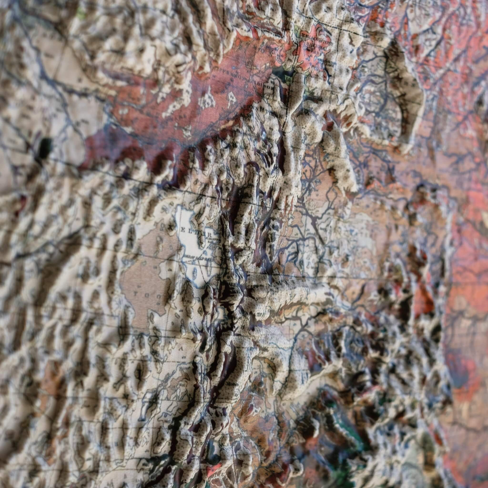
Vacuum-formed over a precision 3D mold, real raised terrain, not an embossed print
Every ridge, valley, and peak is actually there. You feel it, not just see it.
Molds cut from NASA elevation data for accurate topography
The same data used to map space missions. Every rise is placed to the foot.
No glass, no acrylic, every map is made to be touched
Run your fingers across the Rockies or trace the Mississippi. The map wants to be touched.

Highly formable plastic mounted on rigid board
Vacuum-formed to hold every ridge and valley, mounted on archival board so it stays flat for decades.
Each map individually made in our San Diego, CA shop
Not printed and boxed at scale. Every relief is hand-formed by our small studio team.
USA-made materials, a portion of profits supports outdoor charities
Sierra Club, Leave No Trace, and Waterkeeper Alliance protect the places these maps depict.

Handmade from real walnut, no pressed wood, no veneer
Real hardwood grain, not a stained lookalike. Built by local craftsmen to last.
Open-face design with no glazing, so the terrain stays touchable
Nothing between you and the landscape. The frame protects without hiding.
Framing adds about one inch to each dimension
A slim profile that fits your wall, not a bulky box that dominates it.


The original map designs are of historical maps. We use scans of the old maps and georeference them with modern elevation data to align the raised terrain with the map. Then, we cut a detailed mold for the map. The maps get printed, heated, and vacuum formed onto the mold. We remove the newly formed map from the mold, cut it, and mount it onto matboard for a rigid raised relief map. The 3D maps we sell are only available by Muir Way.
No, we offer each map in a single size because they are vacuum formed to a particular 3D mold that takes approximately 40 hours to cut.
The maps are printed on a thick, highly formable plastic that is highly formable under extreme heat and mounted on foamboard.
For any reason, you can send back the print within 30 days of receiving it for a full refund. The print must be in new condition. We do not accept returns on framed prints. Please email info@muir-way.com for return authorization.
Unframed maps ship out in 1-2 days and framed maps ship out in 2-3 weeks of ordering. Please also allow transit time from our shop in San Diego.
No, our frames do not have glass over the 3D prints so you can touch the protruding terrain. If you prefer glass, your local frame shop can make a deeper frame that will allow for the glass.
Ours are inspired by those older raised relief maps but our new versions are on another level of quality, precision, and craftsmanship.
