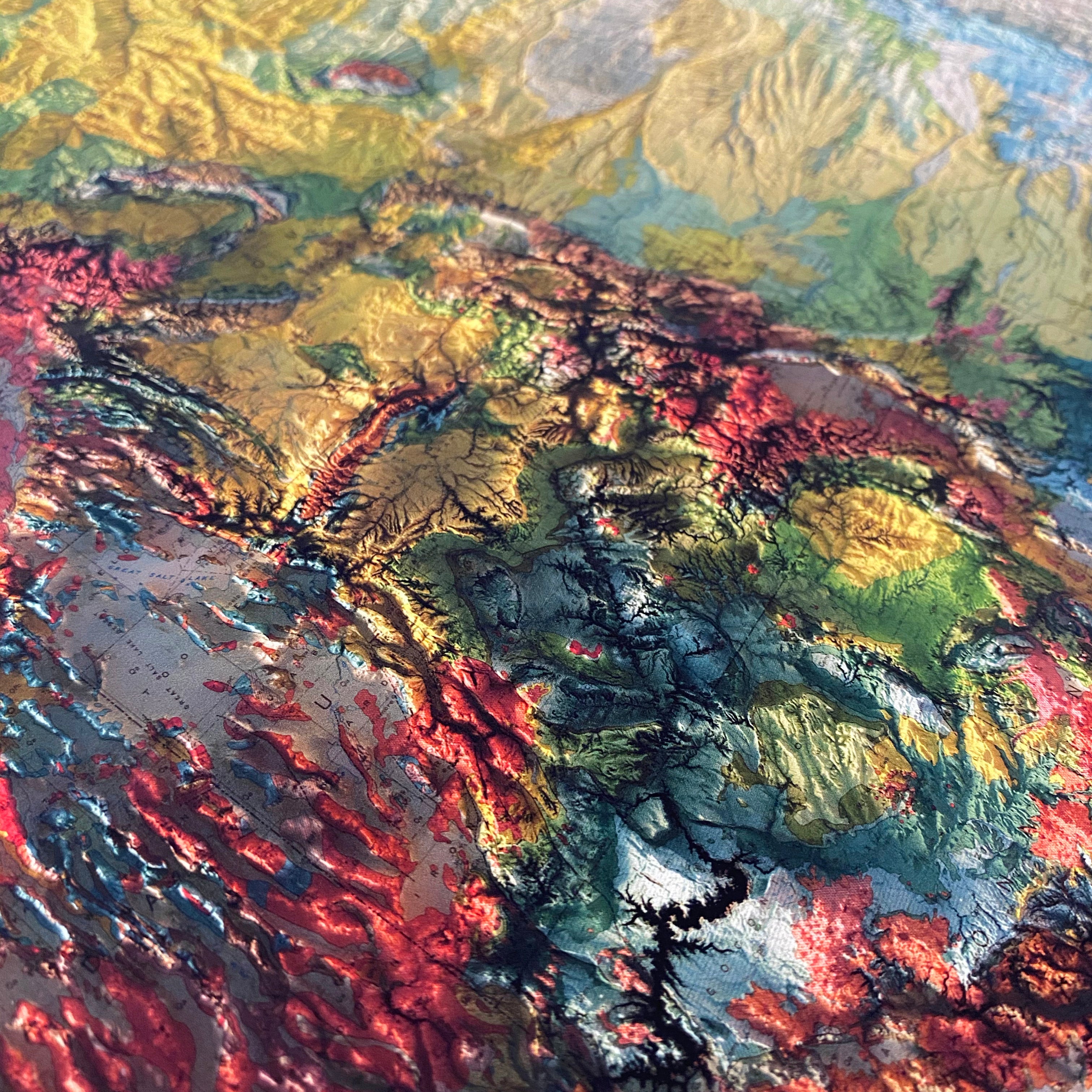
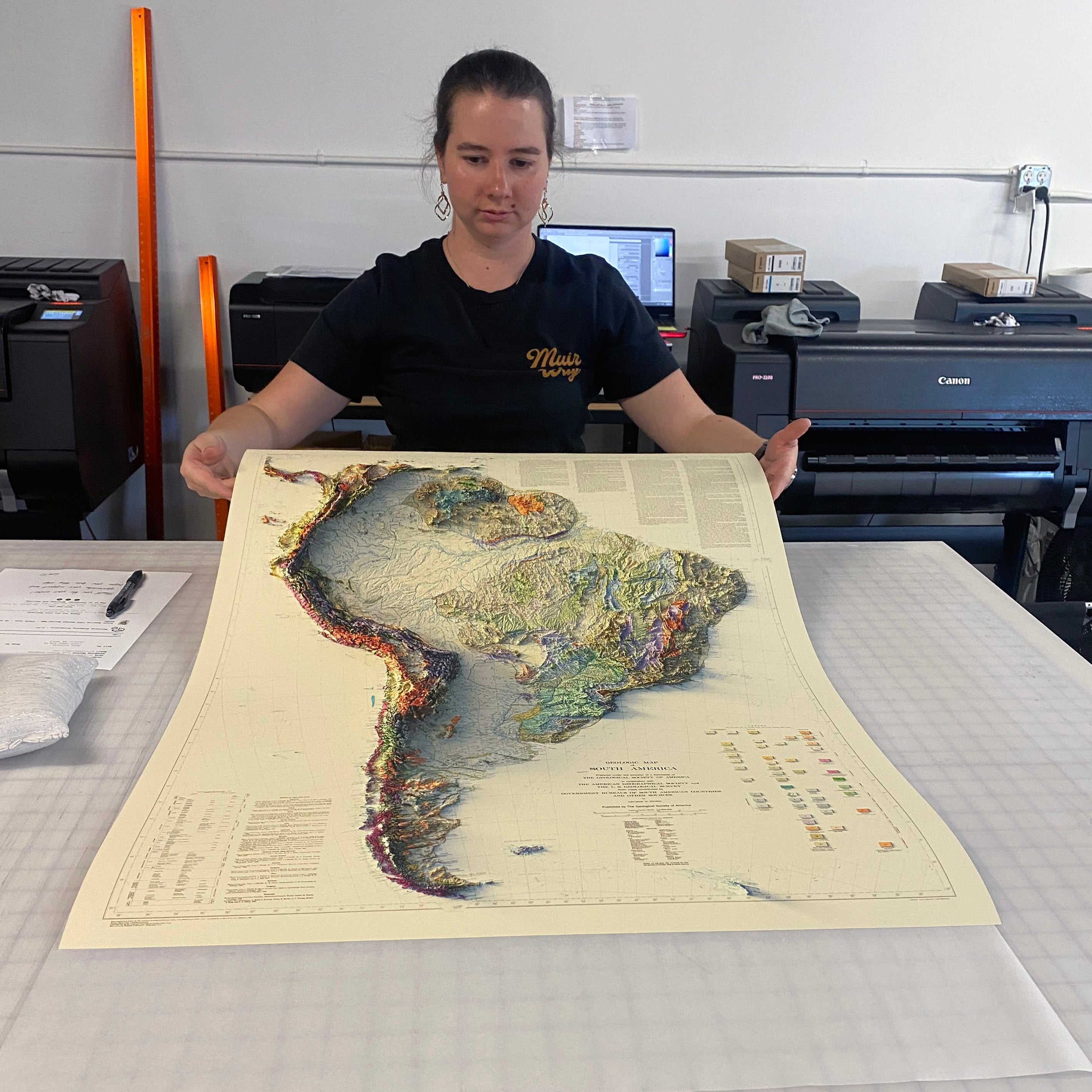
Experience the beauty and complexity of California's landscape like never before with our stunning 3D illusion map. Crafted from the original 1971 California USGS map, this unique map is designed and printed at the highest level to showcase every detail of the state's varied terrain and the surrounding waters.
To create this map, we applied Digital Elevation Data and meticulously added shaded relief to the landscape of the original 1971 California USGS map. The result is a stunning 3D illusion that showcases every detail of the state's complex geological formations. The shading is printed directly on the paper itself, creating a seamless and beautiful design that can be framed traditionally.
Bathymetry - the added terrain under sea level was created with data derived from Sonar imaging. Available with or without Bathymetry data.
Our commitment to quality ensures our maps are designed and printed at the highest level making sure every detail is captured with precision and accuracy. From the vibrant colors to the intricate details, every aspect of this map is crafted to perfection.
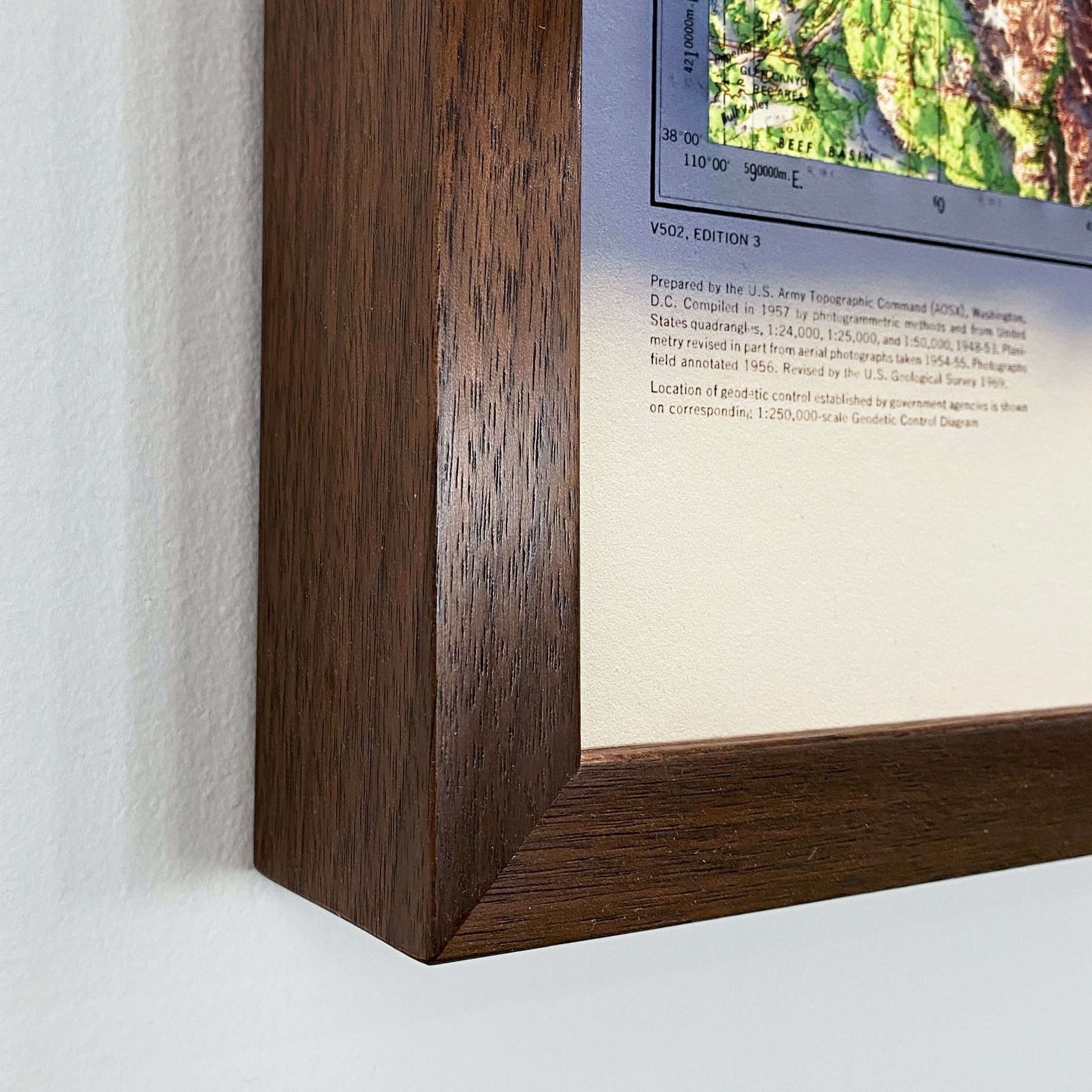
Please Note: Text on the map can be difficult to read due to the small font size and the age of the map. In areas where the relief shading covers the text, the underlying text is not legible. We suggest the largest size map for better details though the text may still be covered in the darker areas.