


Reviewed by Michael
Verified Buyer
I recommend this product
Age Range
25 - 34
I bought this
As a gift
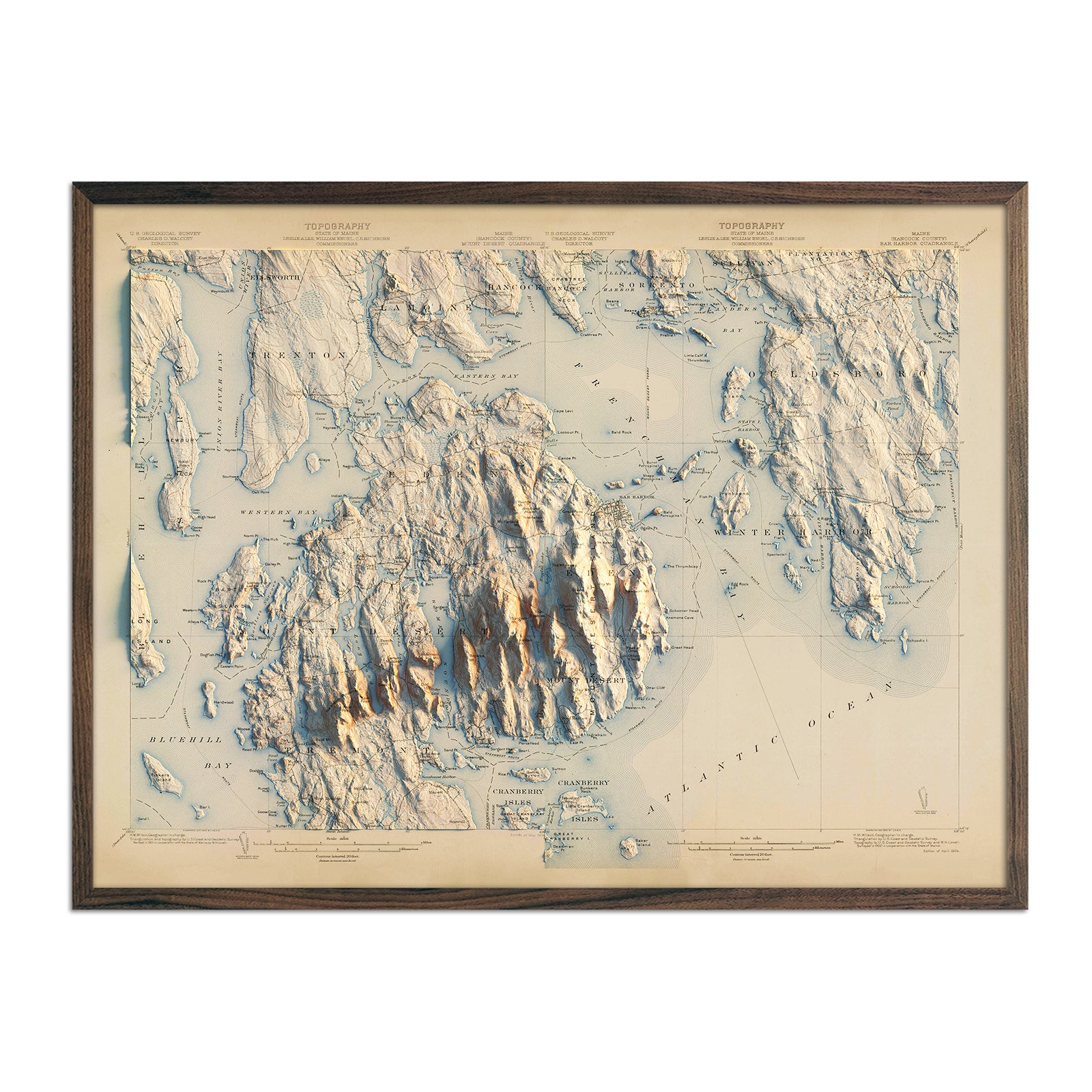
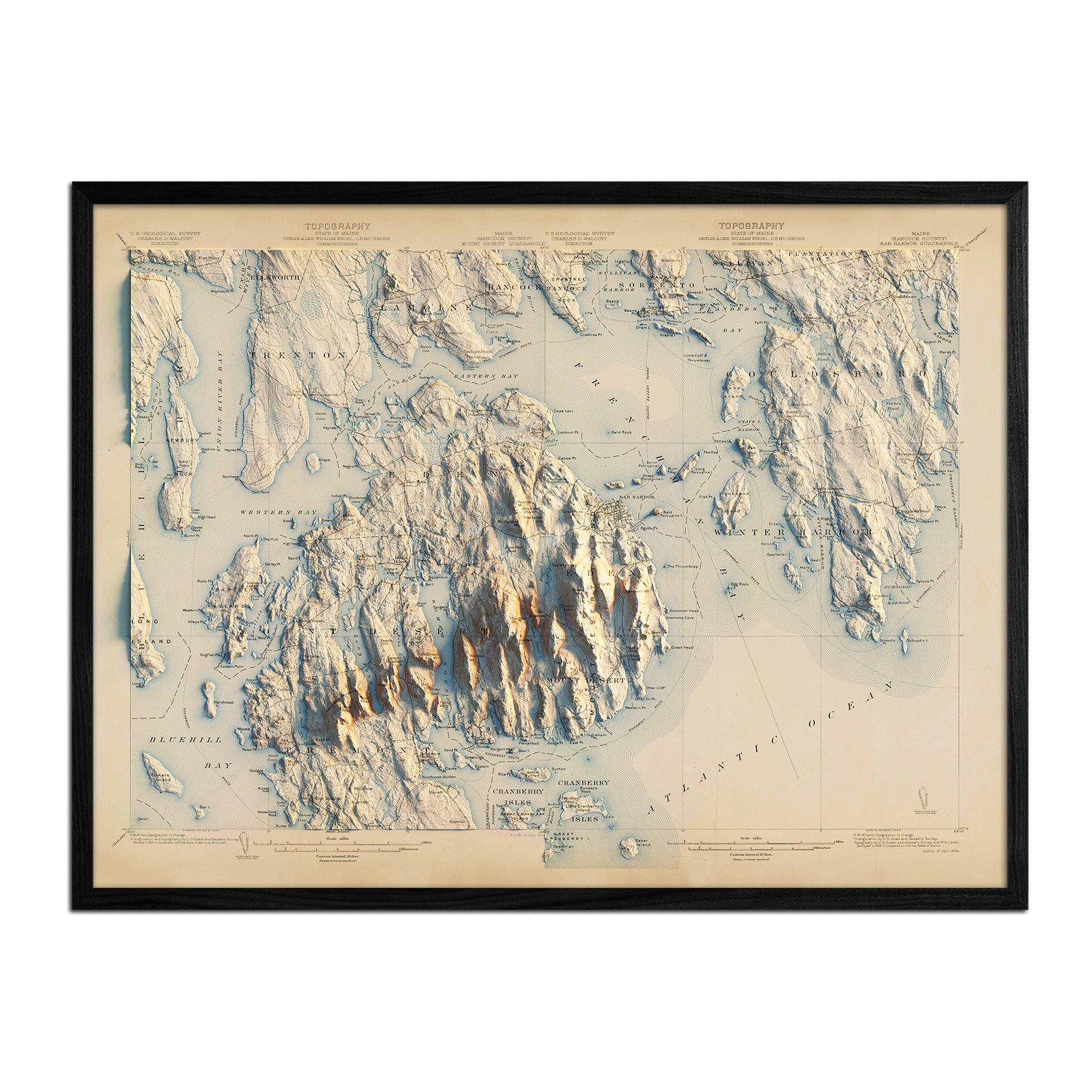
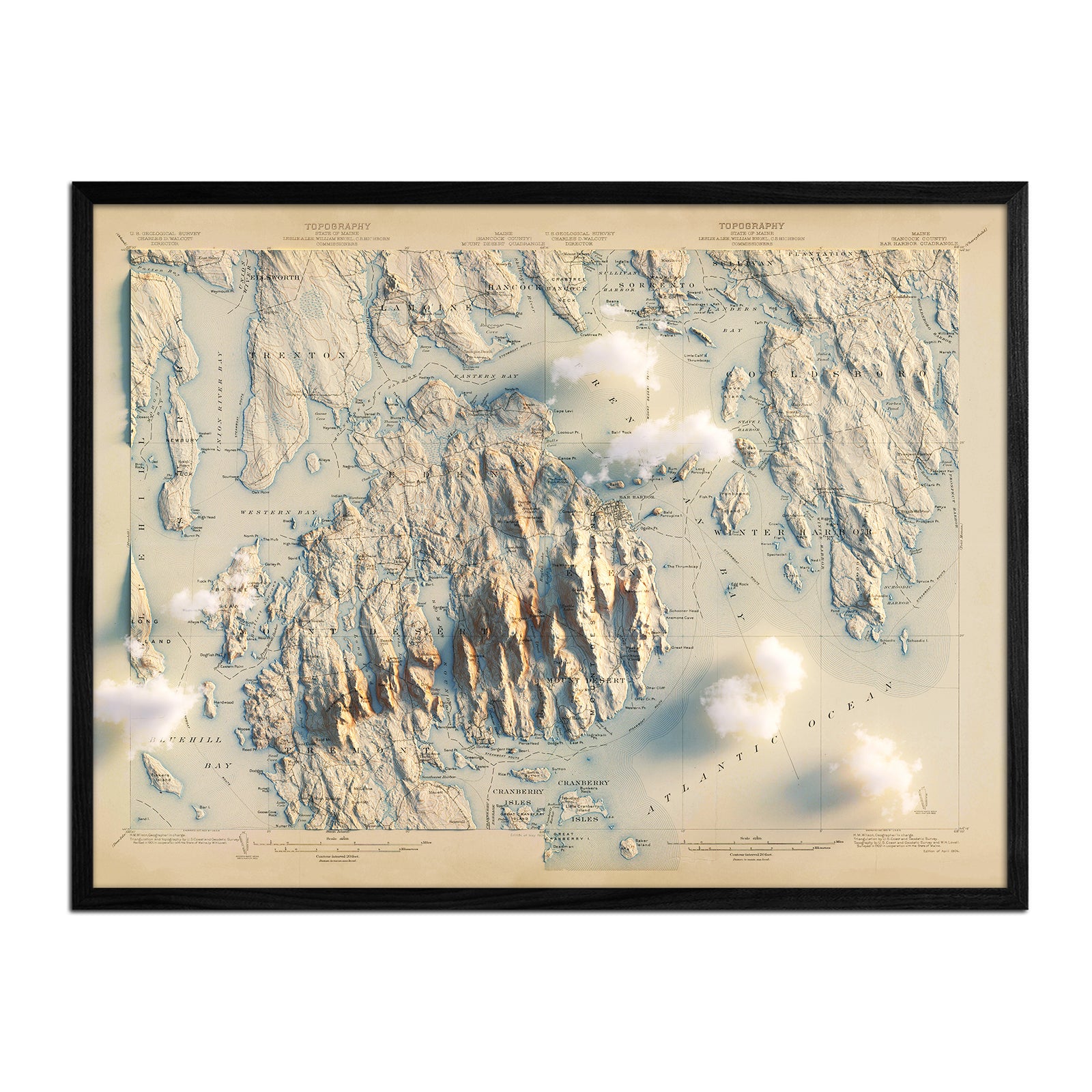
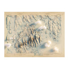
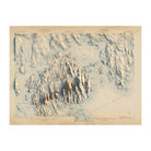
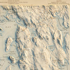
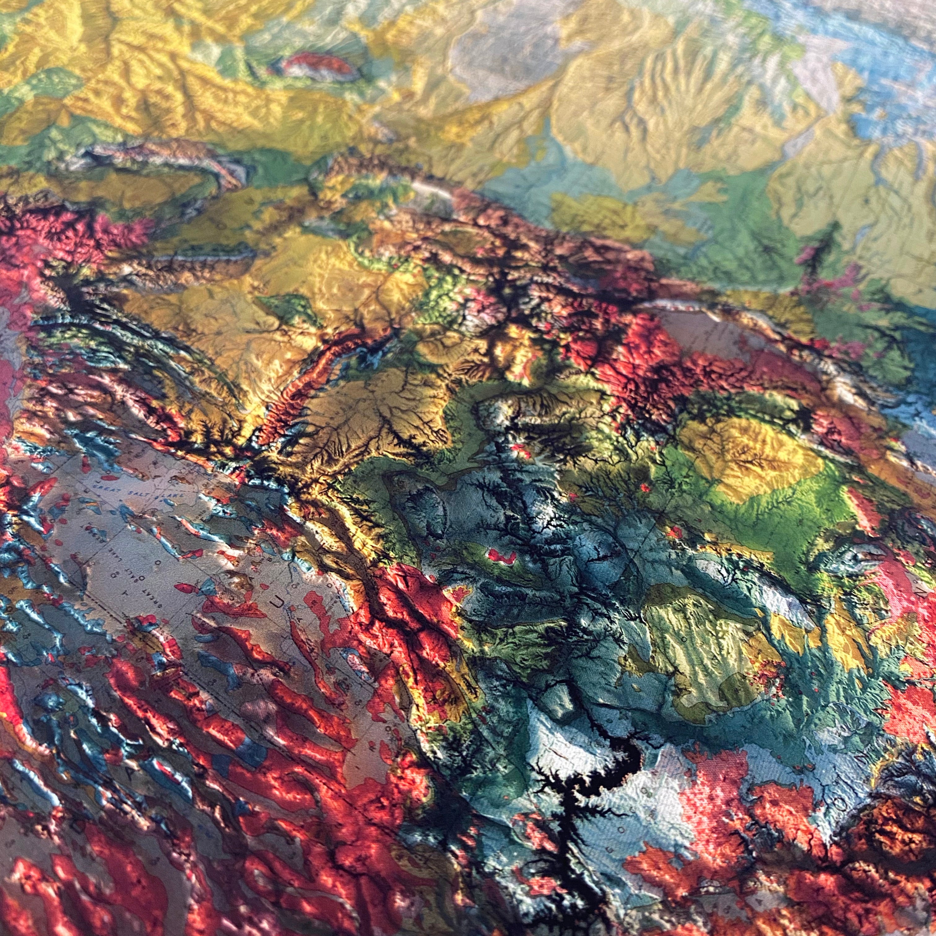
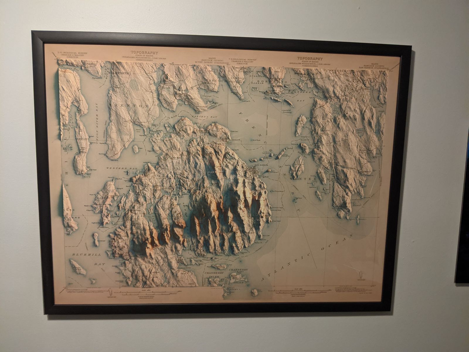
Fantastic Map
Map arrived quickly, as promised. The print is very high quality, and the 3D rendering of the original is a great effect.
Loading...
| Map Quality & Detail |
Rated 4 out of 5
|
|---|---|
| Shipping & Customer Service |
Rated 5 out of 5
|
Was this helpful?
