


Reviewed by Gena A.
Verified Buyer
I recommend this product
Age Range
55 - 64
I bought this
As a gift
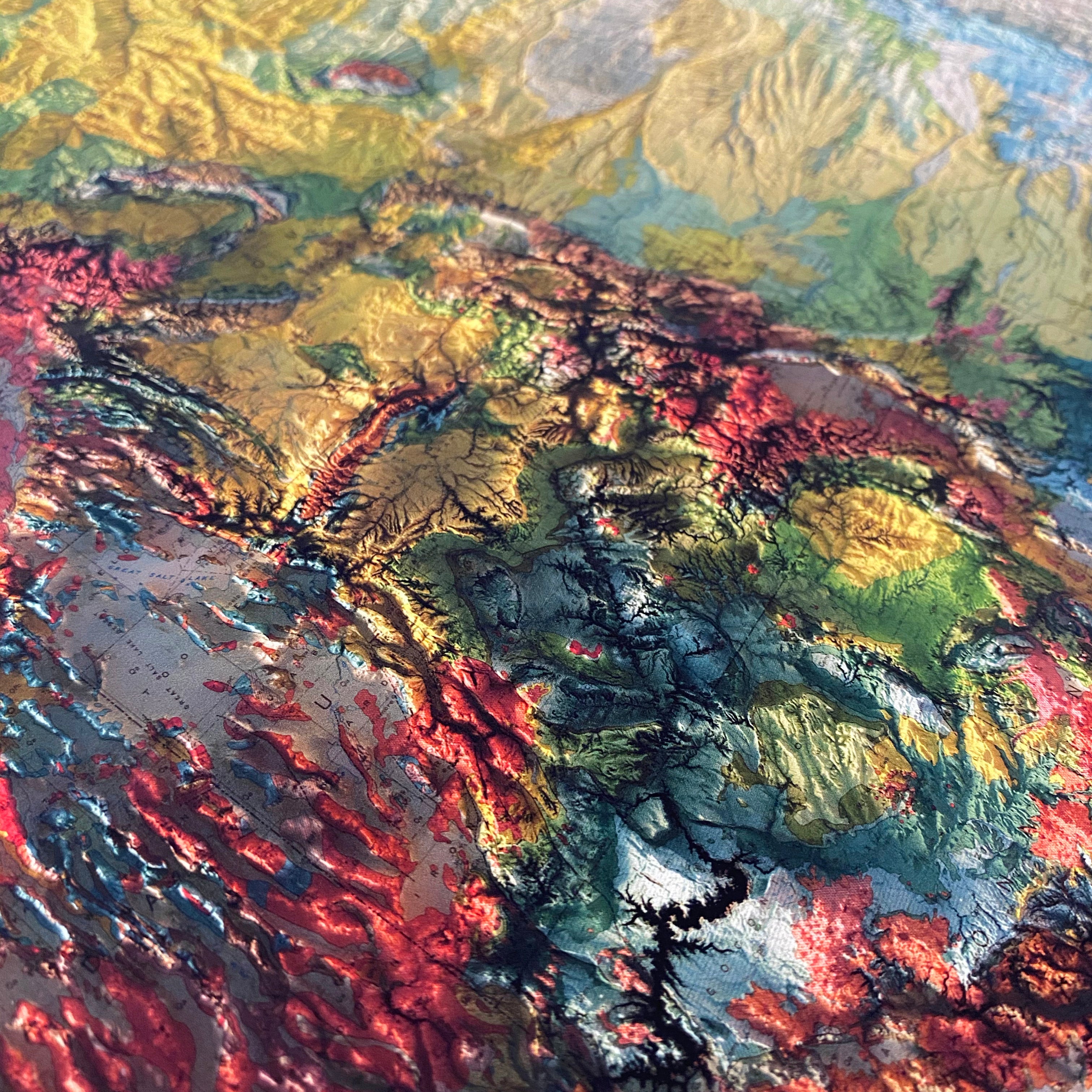
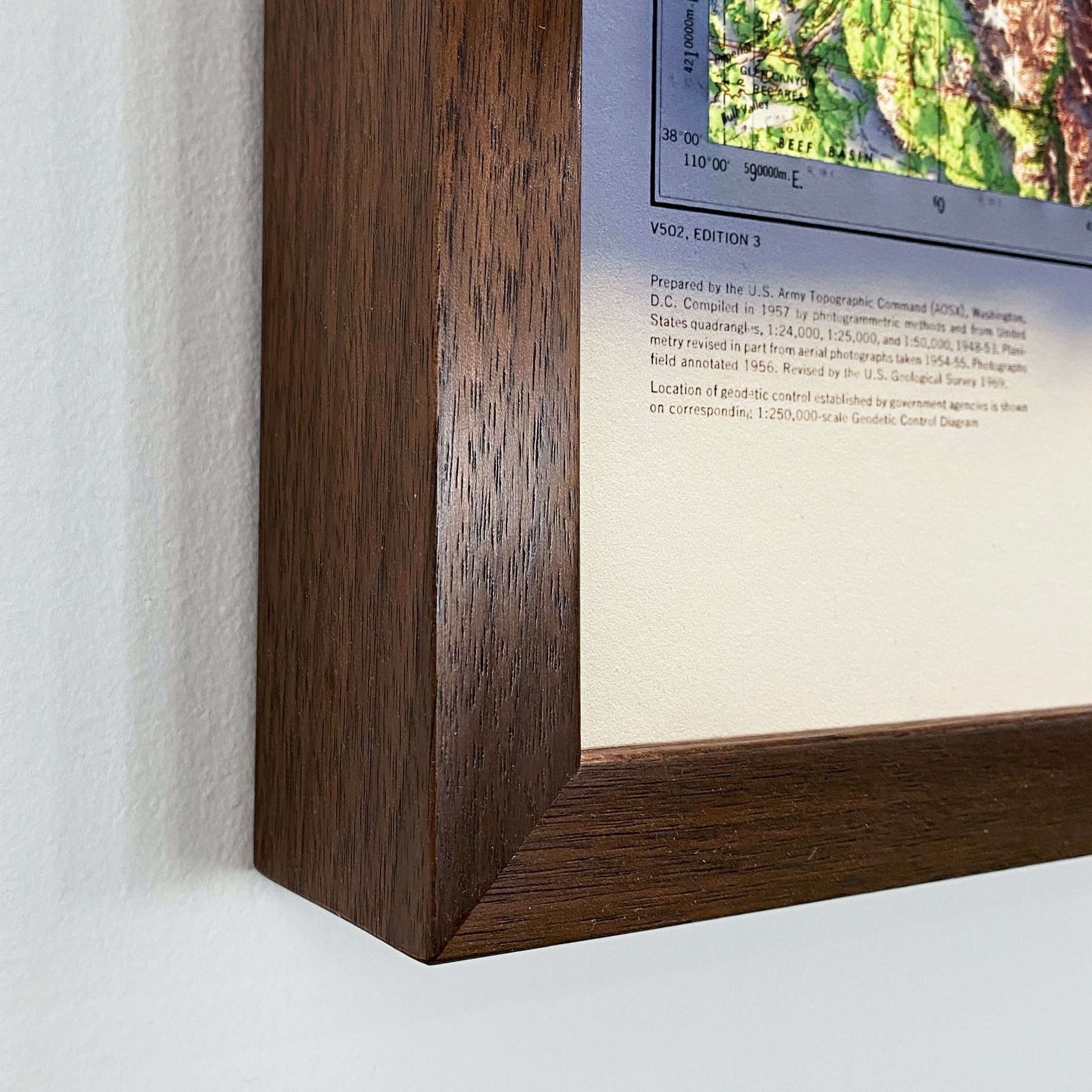
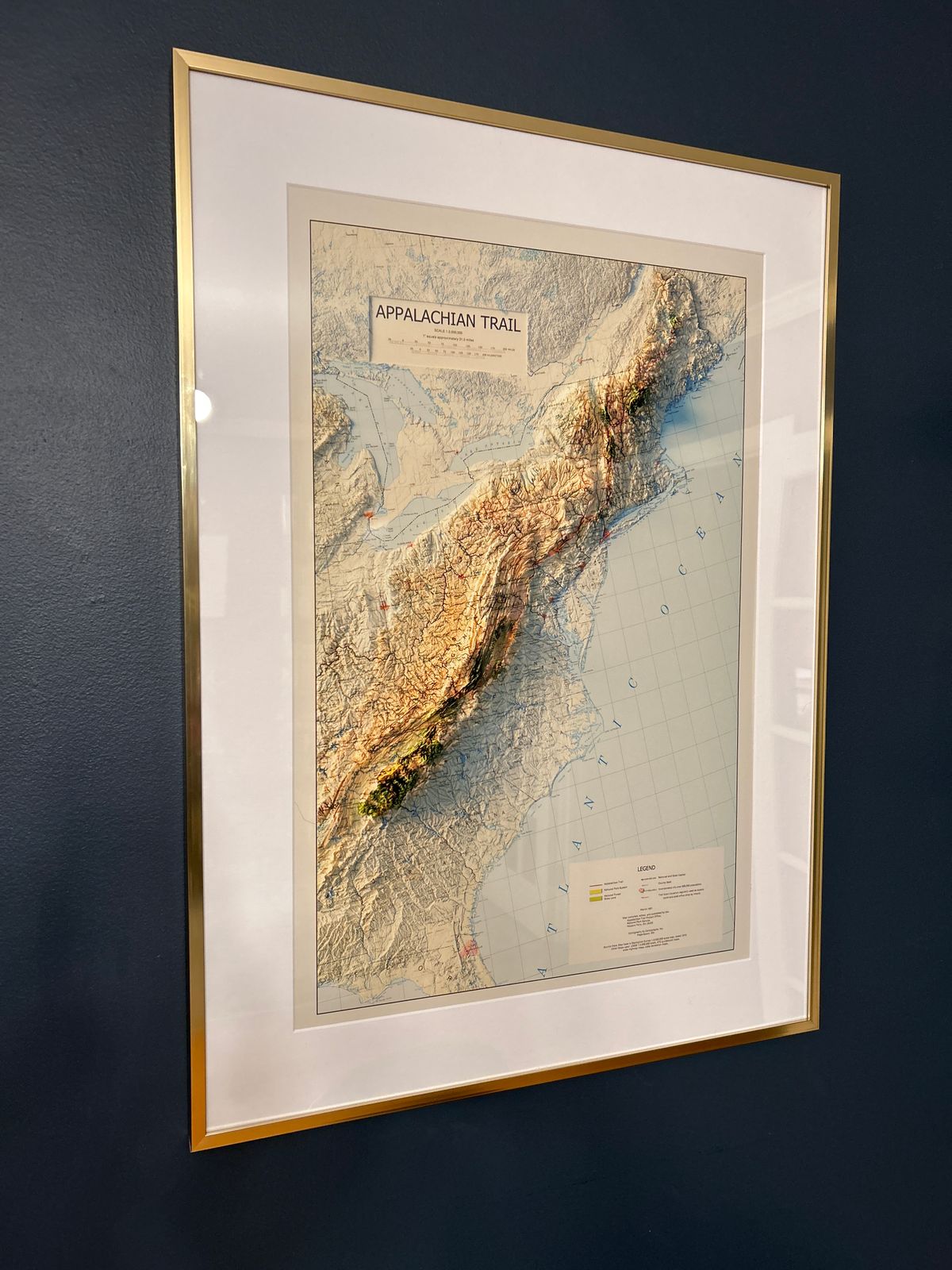
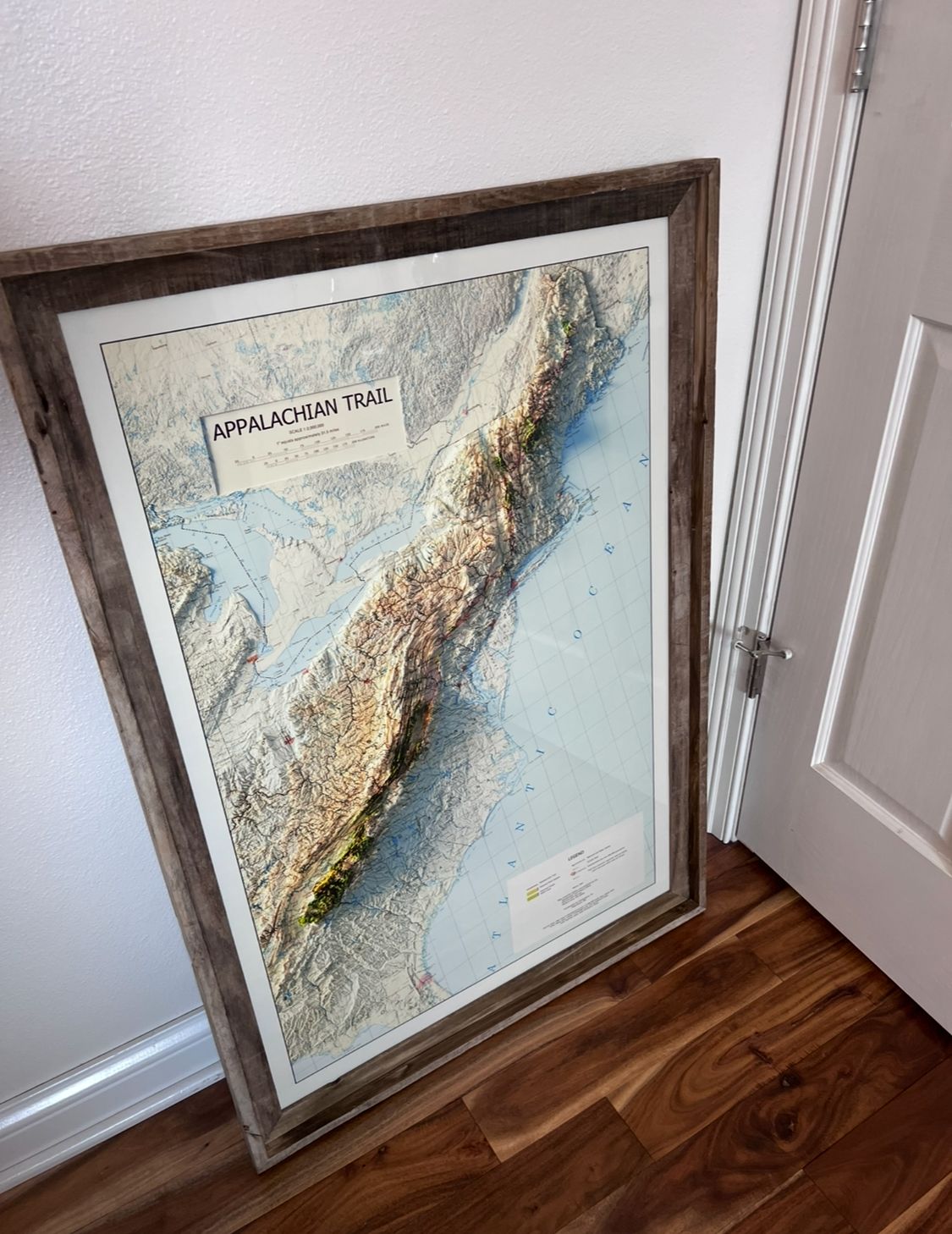
Such a cool 2D map!
My husband is hiking the AT and I'm so excited to give him this for Xmas. I bought my own frame. I love how it looks 3D coolest map ever. Its kinda hard to read some of the print near the AT but thats ok
Loading...
| Map Quality & Detail |
Rated 4 out of 5
|
|---|---|
| Shipping & Customer Service |
Rated 5 out of 5
|
Was this helpful?
