In December 1992, scientists announced a discovery that reshaped how Seattle understood its own ground: the Seattle Fault Zone, a previously unrecognized band of crustal weakness running from Issaquah through downtown Seattle toward the Olympic Peninsula. Five papers published in the journal Science on December 4 pieced together evidence from uplifted shoreline at Restoration Point, drowned forests in Lake Washington, and landslide debris in the Olympics — all pointing to a massive earthquake, magnitude 7.5 or greater, that had struck the area around 900 to 928 AD without anyone previously suspecting it.
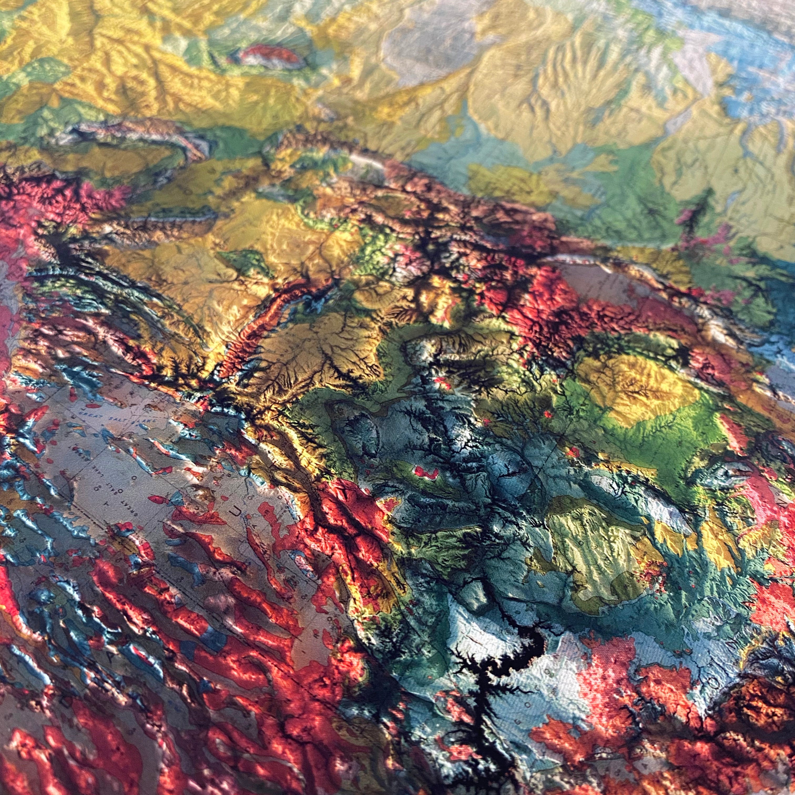
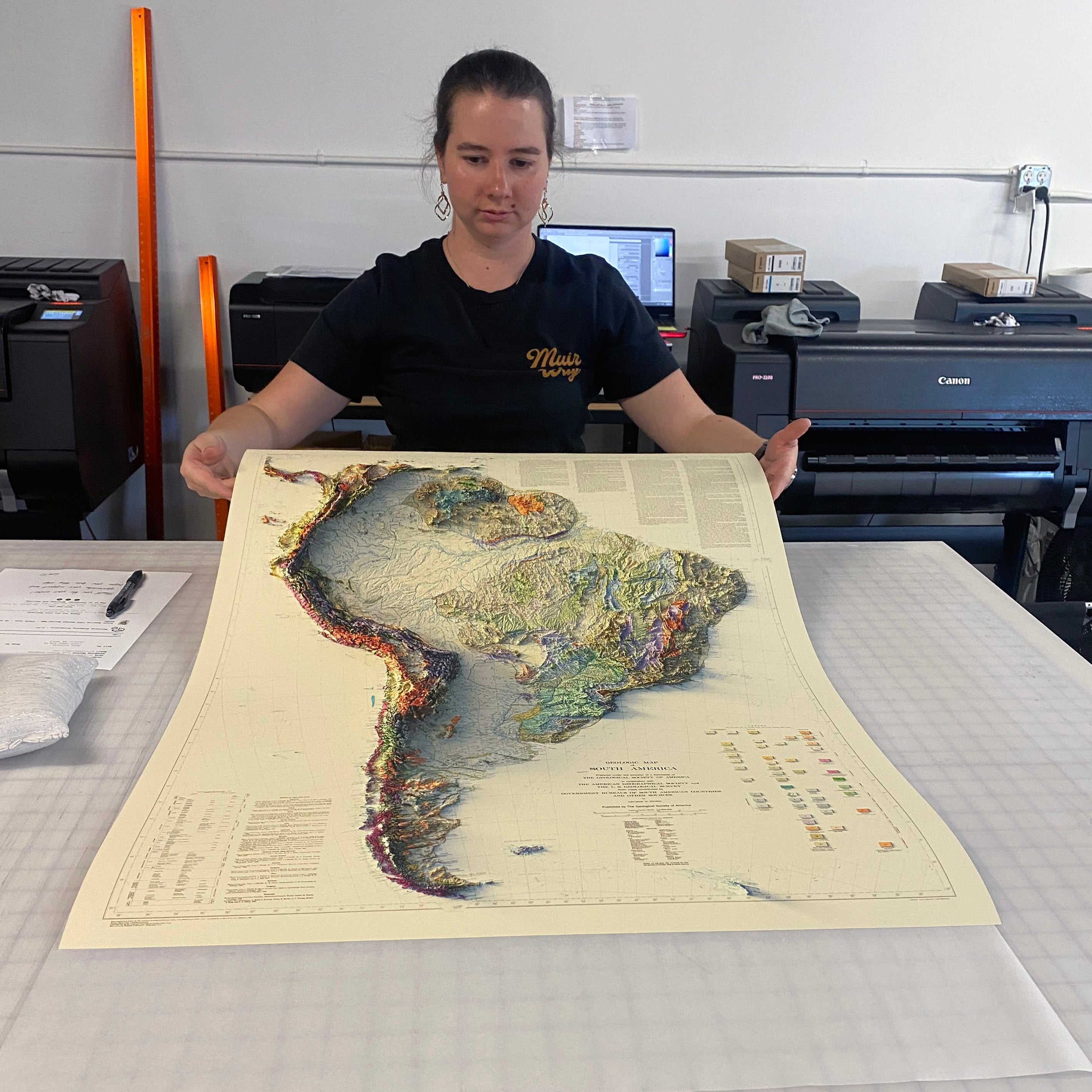
We georeferenced the original 1992 survey and applied modern digital elevation data to add true shaded relief to Seattle's hills and waterways. The shading is printed flat on the paper — not raised or textured — so it frames and hangs like any fine art print.
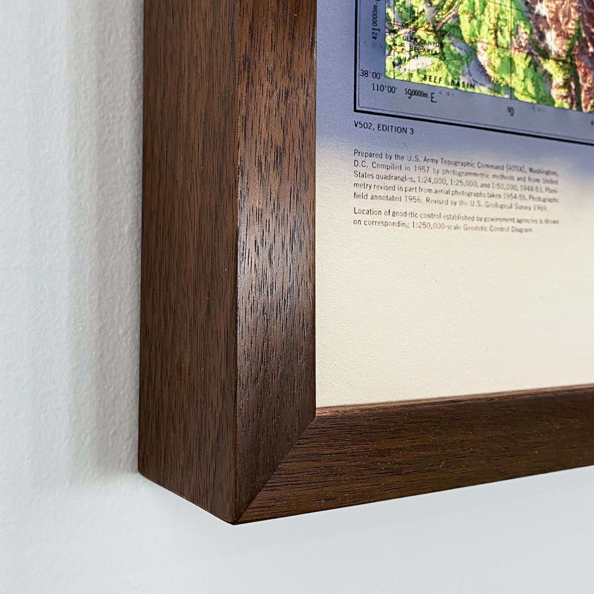
Available unframed, or framed in black or walnut.
Note on legibility: text on the original map is small and can be difficult to read given the map's age. In areas where the relief shading is darkest, the underlying labels are not legible. We recommend the largest available size for the best detail.