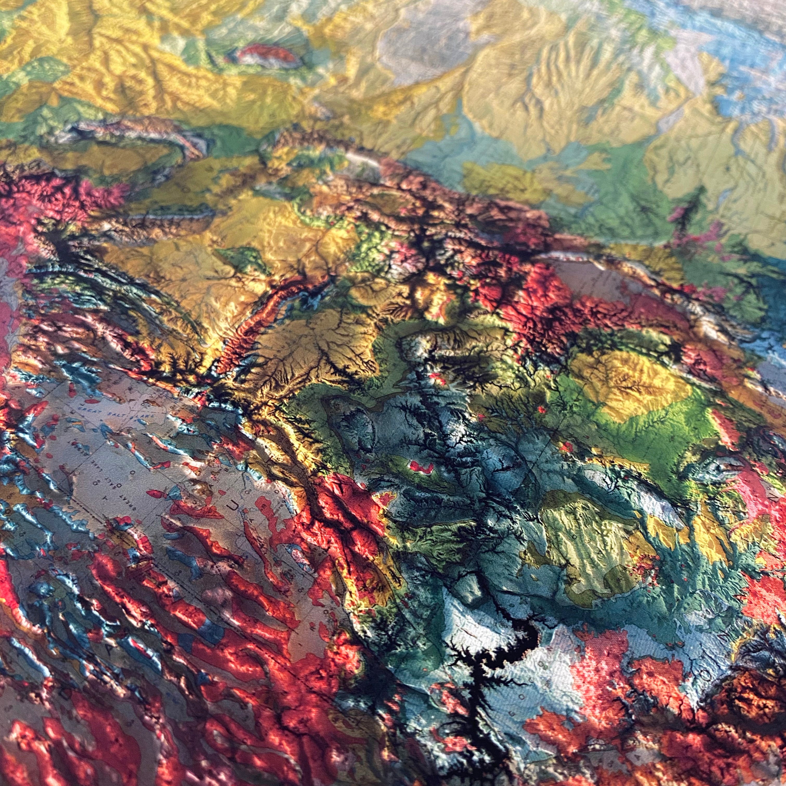
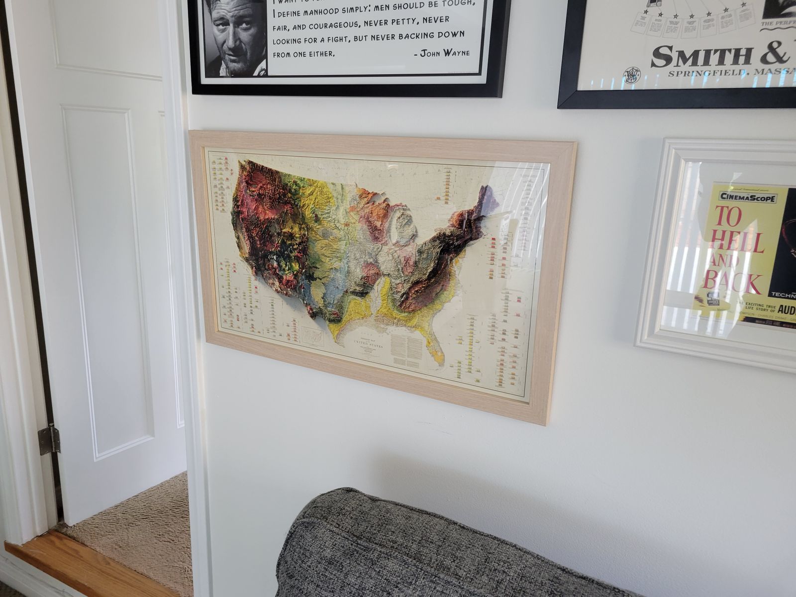
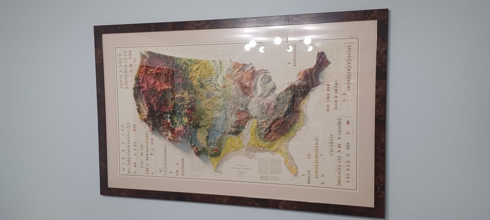
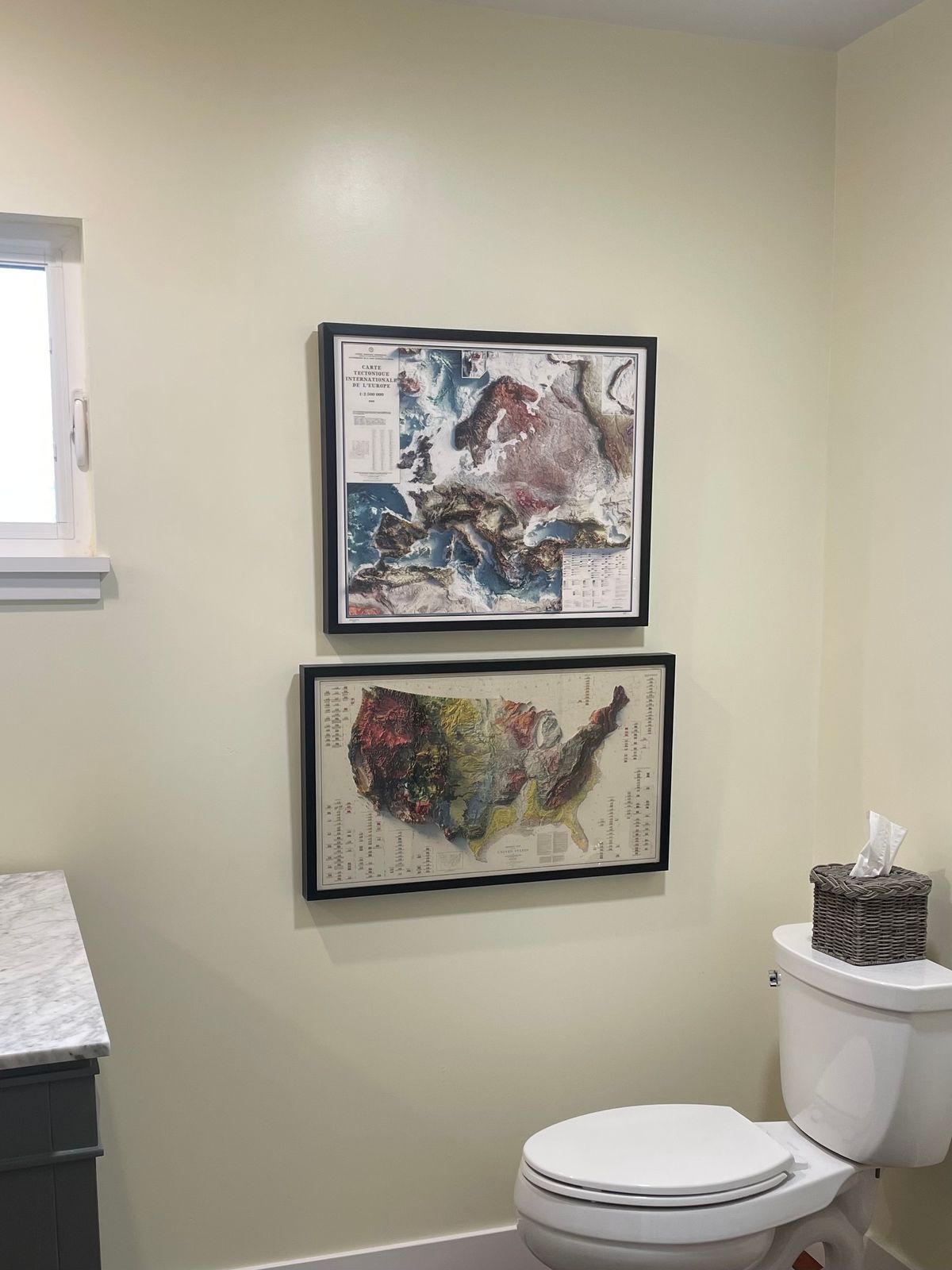
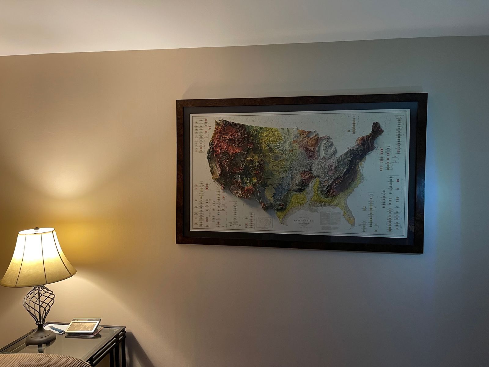
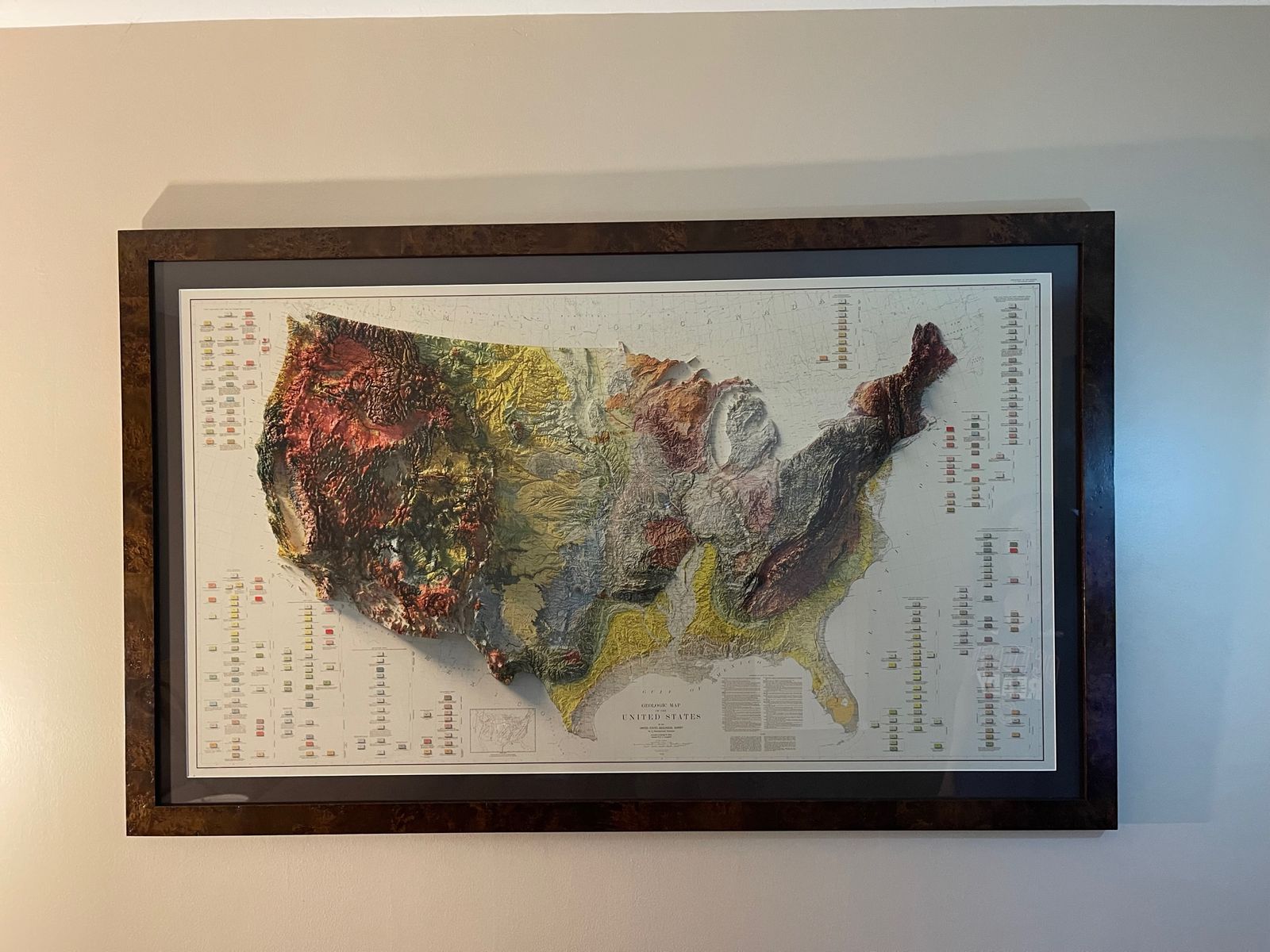
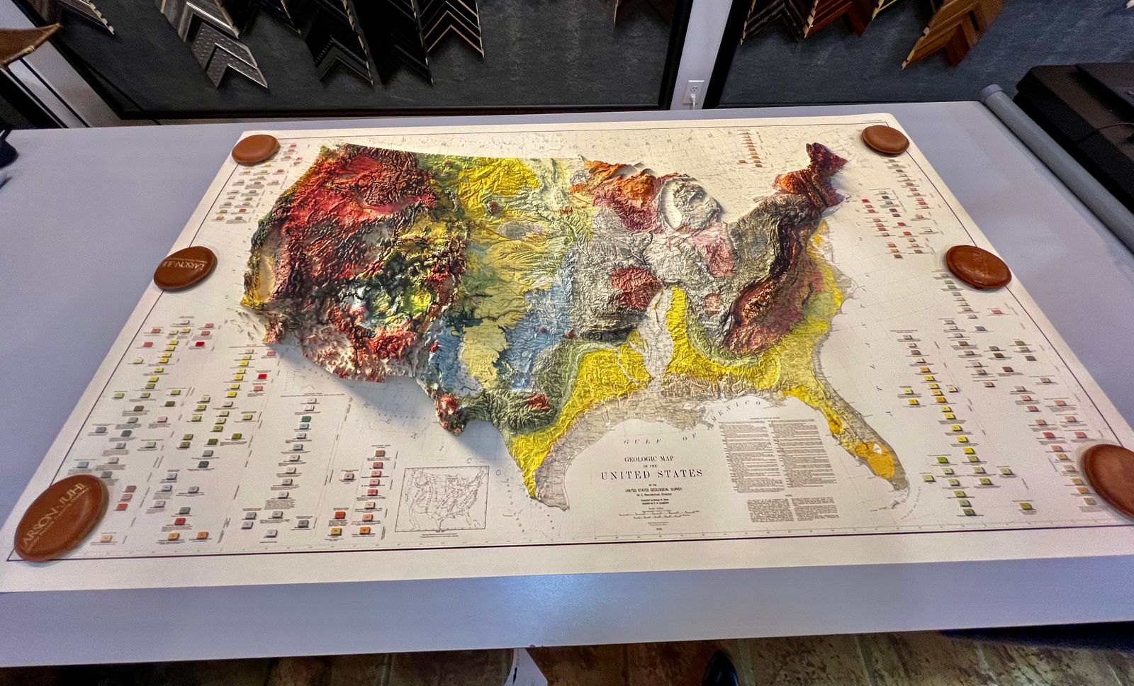
Experience the timeless beauty and geological complexity of the United States with our exquisite 1932 USA Shaded Relief Map. This vintage map has been expertly updated with modern elevation data, creating a captivating 3D optical illusion that reveals the country's diverse landscapes in stunning detail. We digitally combined four separate historic maps to produce this intricate, high-quality paper map, making it a unique piece of vintage wall art perfect for any space.
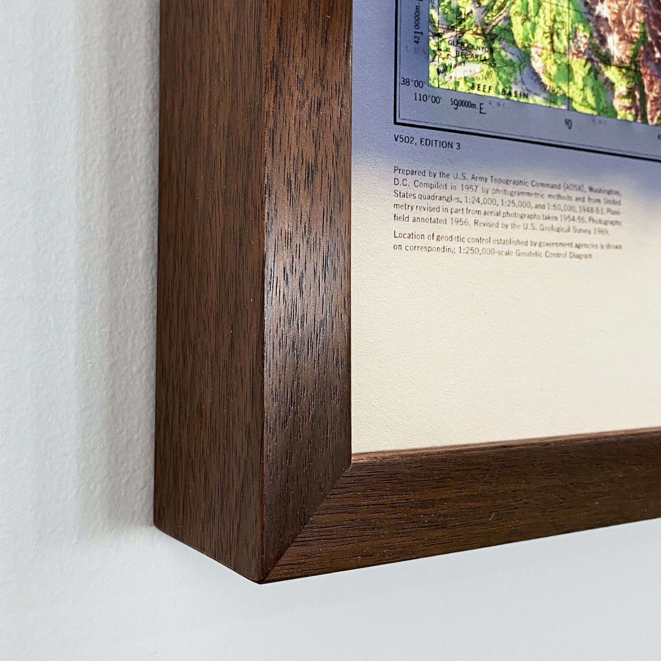
The stunning shading and depth on this map are not a result of the map protruding from the surface. Rather, it is all expertly printed on the paper itself, which means it is ready to be framed and displayed in your home or office.
Please Note: Text on this map can be difficult to read due to the small font size and the age of the map. In areas where the relief shading covers the text, the underlying text is not legible. We suggest the largest size map for better details, though the text may still be covered in the darker areas.
We offer the four individual regional maps of the USA here:
Northeast 1932 Relief Map
Southeast 1932 Relief Map
Northwest 1932 Relief Map
Southwest 1932 Relief Map