


North Carolina Map Prints
Whether you are from North Carolina, like to visit, or hope to explore the Great Smoky Mountains someday, our custom printed North Carolina wall maps will bring the Tarheel State to life. Our maps are beautifully rendered from a combination of historical data, modern technology, and hand design. From our eye-catching elevation maps and geological relief maps to our meticulously restored historical maps, every map of North Carolina we offer reflects the high quality and attention to detail our customers have come to love and expect from Muir Way. See why a map of North Carolina from Muir Way is more than your typical wall map.
What makes Muir Way maps of North Carolina unique?
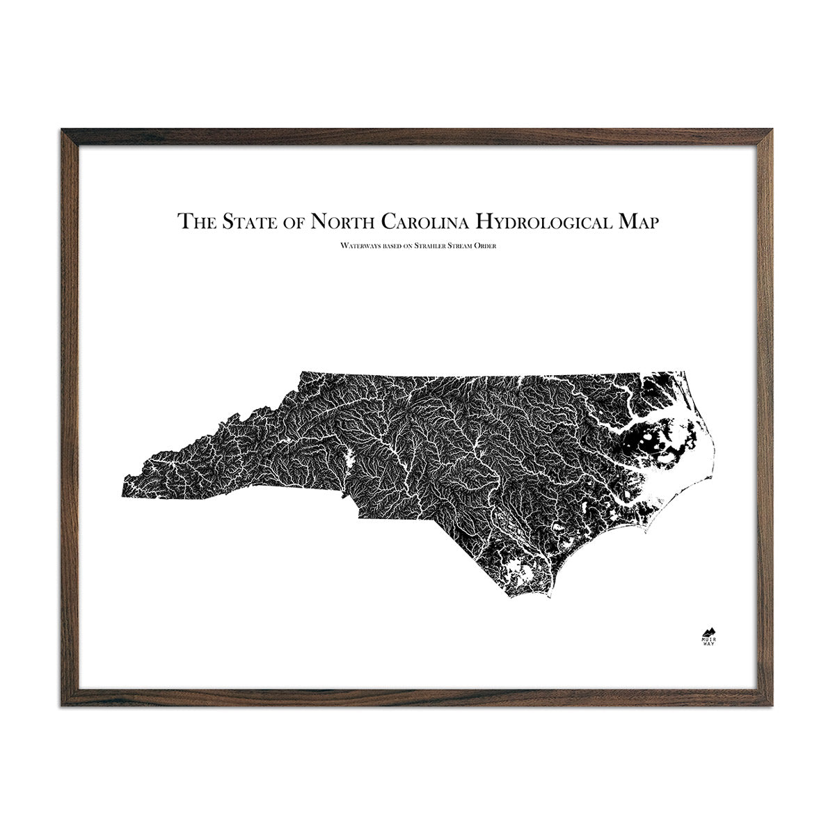
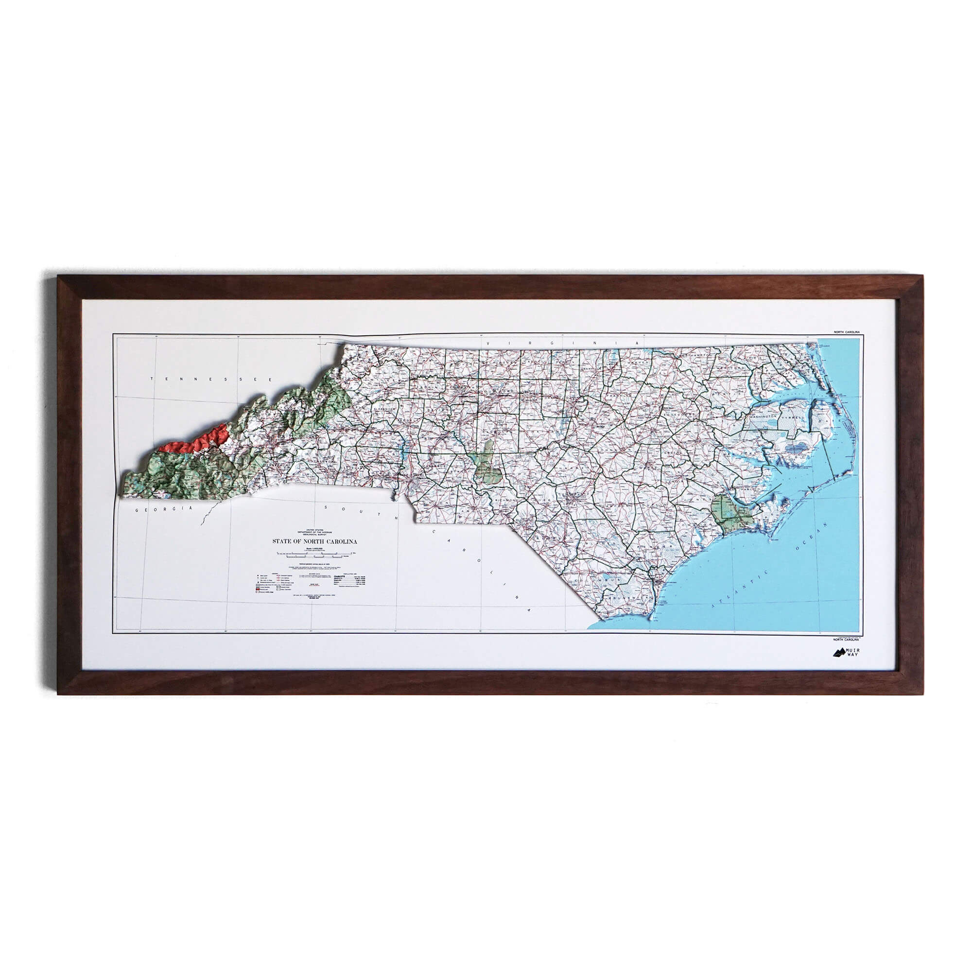
When you purchase a map of North Carolina from Muir Way, you are not purchasing a mass-produced poster or generic print. We custom print every North Carolina map using archival inks and fine art paper certified to last 100 years. The artwork of our maps themselves is designed to bring new light to the beautiful terrain they feature. For example, our elevation maps incorporate hand-shaded relief and Digital Elevation Data with historical map terrain for a unique 3D effect on a flat surface, and our hydrological maps depict every river in the state--even intermittent streams--and every body of water over 0.2 miles in diameter in crisp detail. We create beautiful, heirloom-quality maps meant to last for generations.
Does my North Carolina map come framed?
It can! You can purchase your North Carolina map professionally custom-framed with real wood, or unframed if you prefer to use your own. If you’d like to purchase a framed North Carolina wall map, there are several different wood finishes to choose from. If you’d prefer to use your own frame, all of our maps come in standard sizes for easy gift giving.
Does a Muir Way map of North Carolina make a good gift?
Yes! Our custom-printed maps of North Carolina make the perfect gift to commemorate a special vacation, for outdoor enthusiasts, or as a thank-you gift for someone special. Memorialize the experience of a special holiday to the Appalachian Mountains, Fort Raleigh, or any of the other amazing North Carolina locations. One of our state relief maps can be a perfect graduation gift for a student about to leave home for the first time, or a reminder of home for someone from North Carolina but who no longer lives there. Our maps also make beautiful corporate gifts that will remind your clients or colleagues of you every time they see it.
Where should I display my North Carolina map?
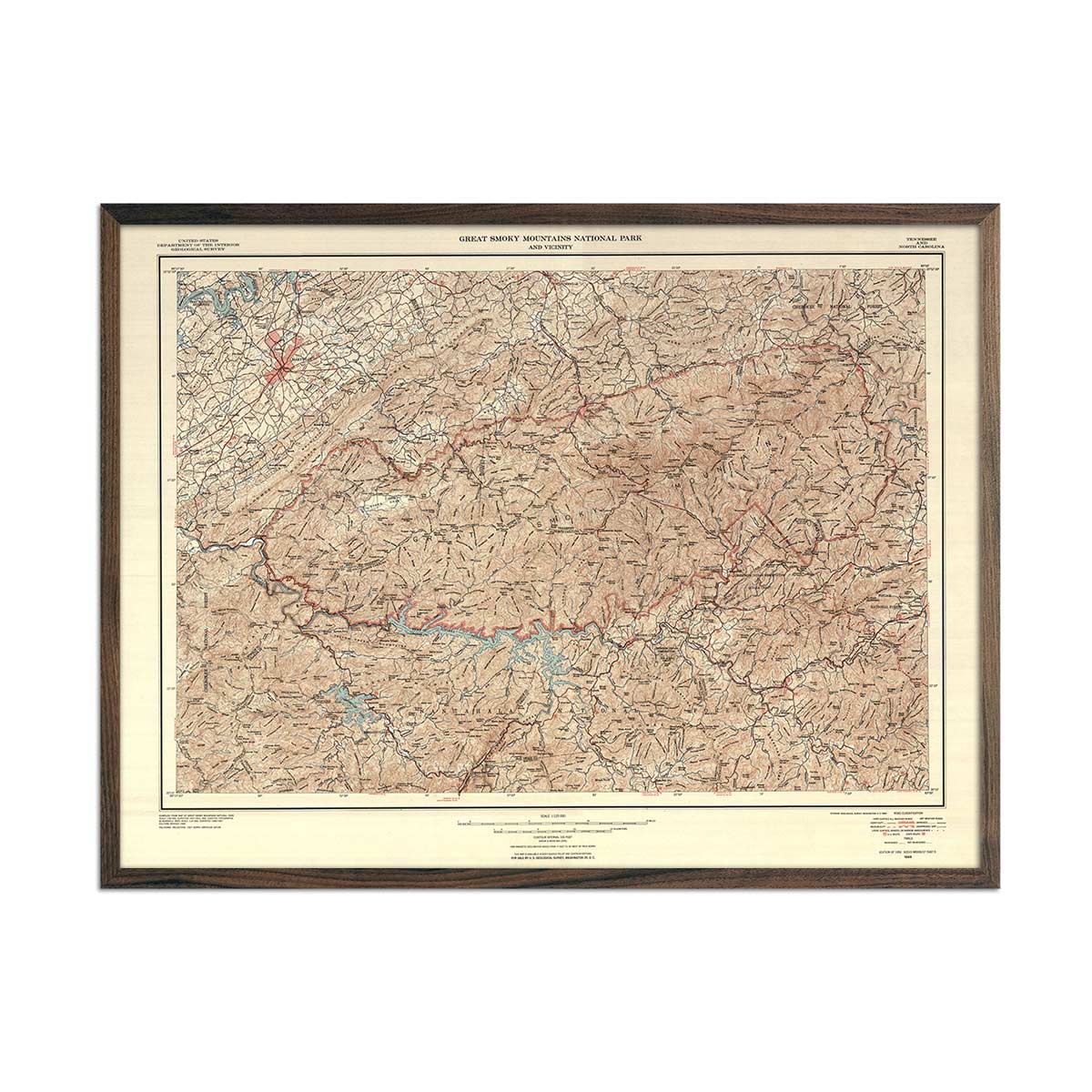
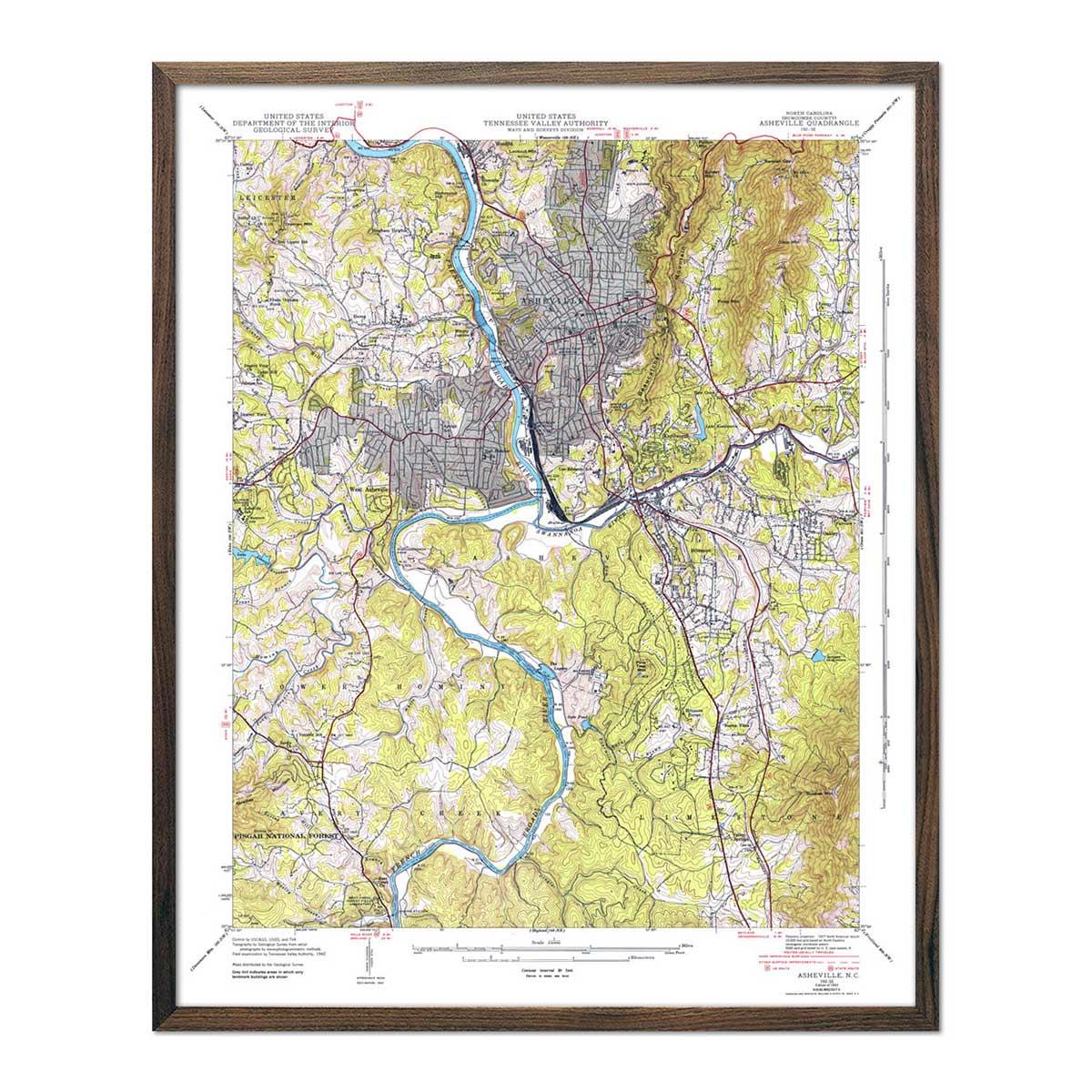
Our maps are designed to be eye-catching whether they are viewed from across the room and up close. Hang a framed wall map as a central focus or purchase several maps in a similar style or from a particular region and arrange them near each other for a complementary series. Make a city series with our Asheville, NC 1943 USGS map and our Charlotte, NC 1967 USGS map. Our hydrological maps come in several colors or the classic black and white, and our geological relief maps feature vibrant colors. No matter which you choose, you’re sure to find a North Carolina map that will look right at home.
What are the different types of maps of North Carolina available on Muir Way?
Our North Carolina maps are available in several different styles, including:
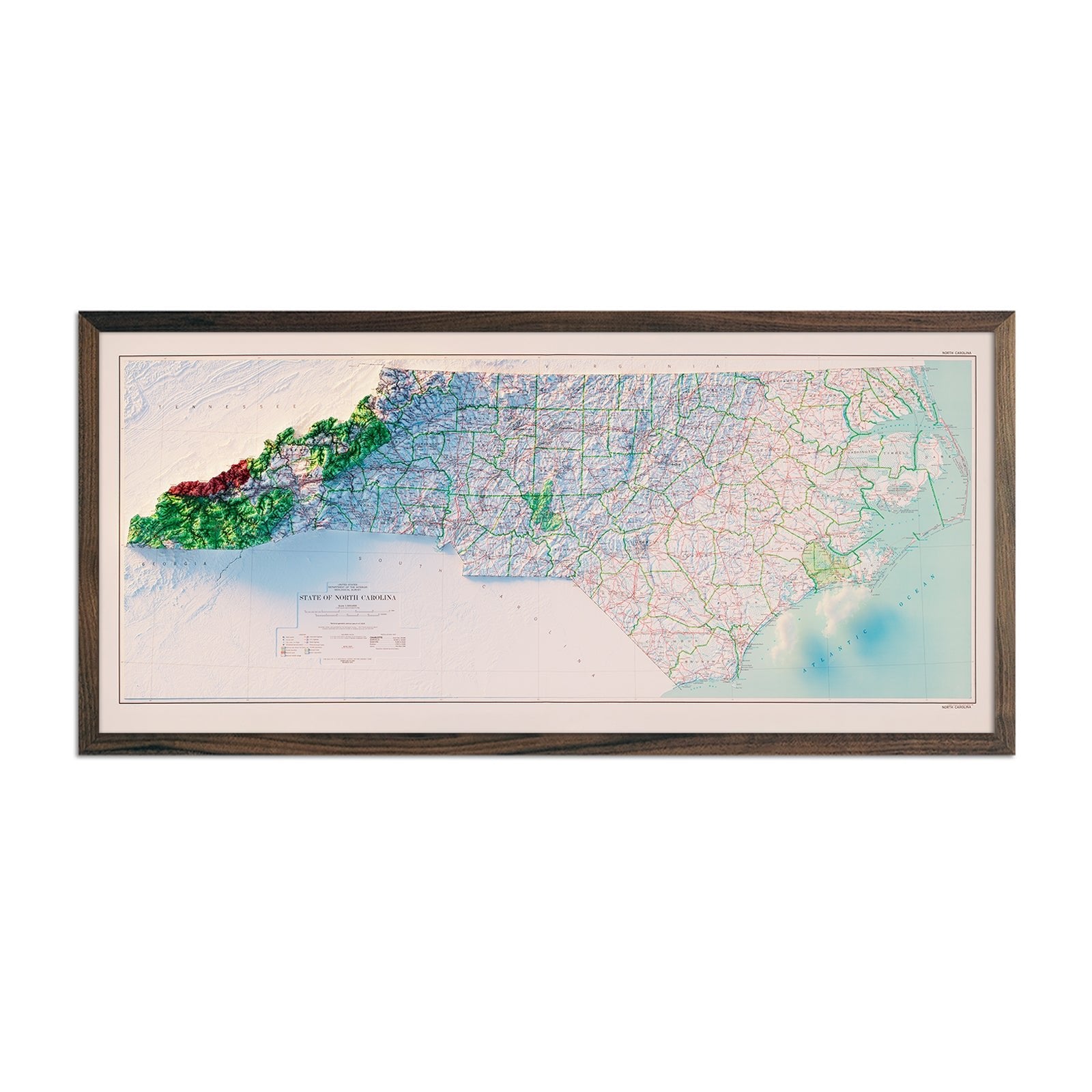
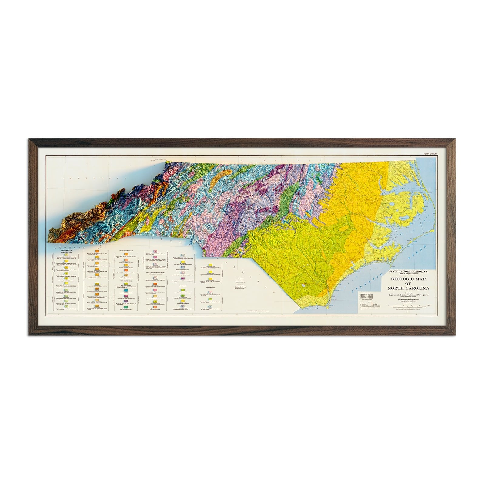
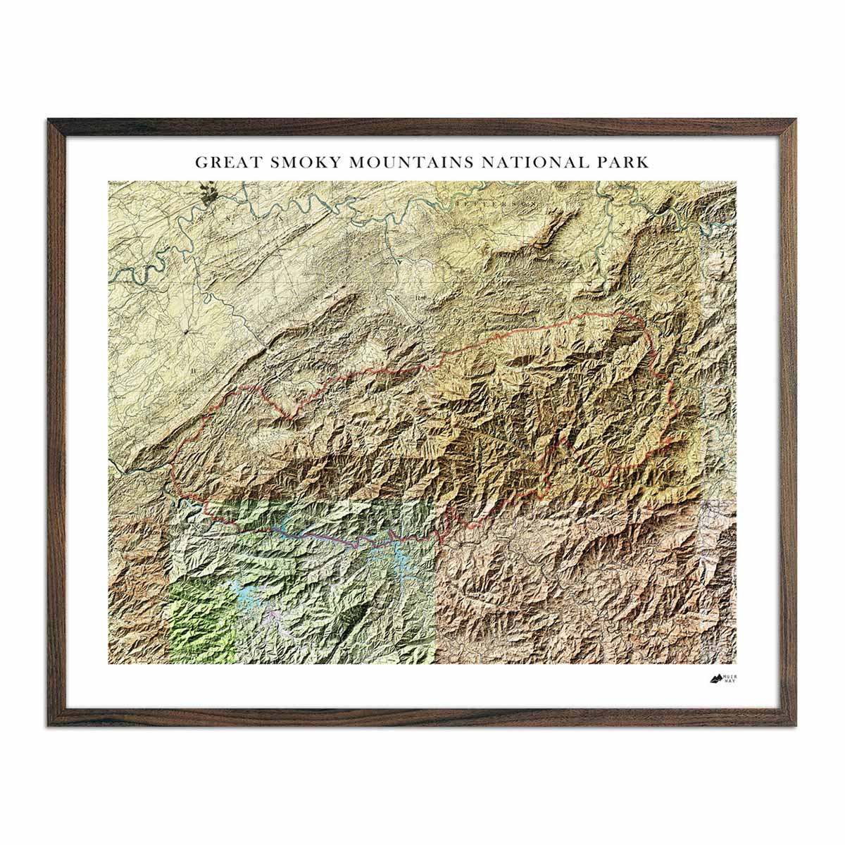
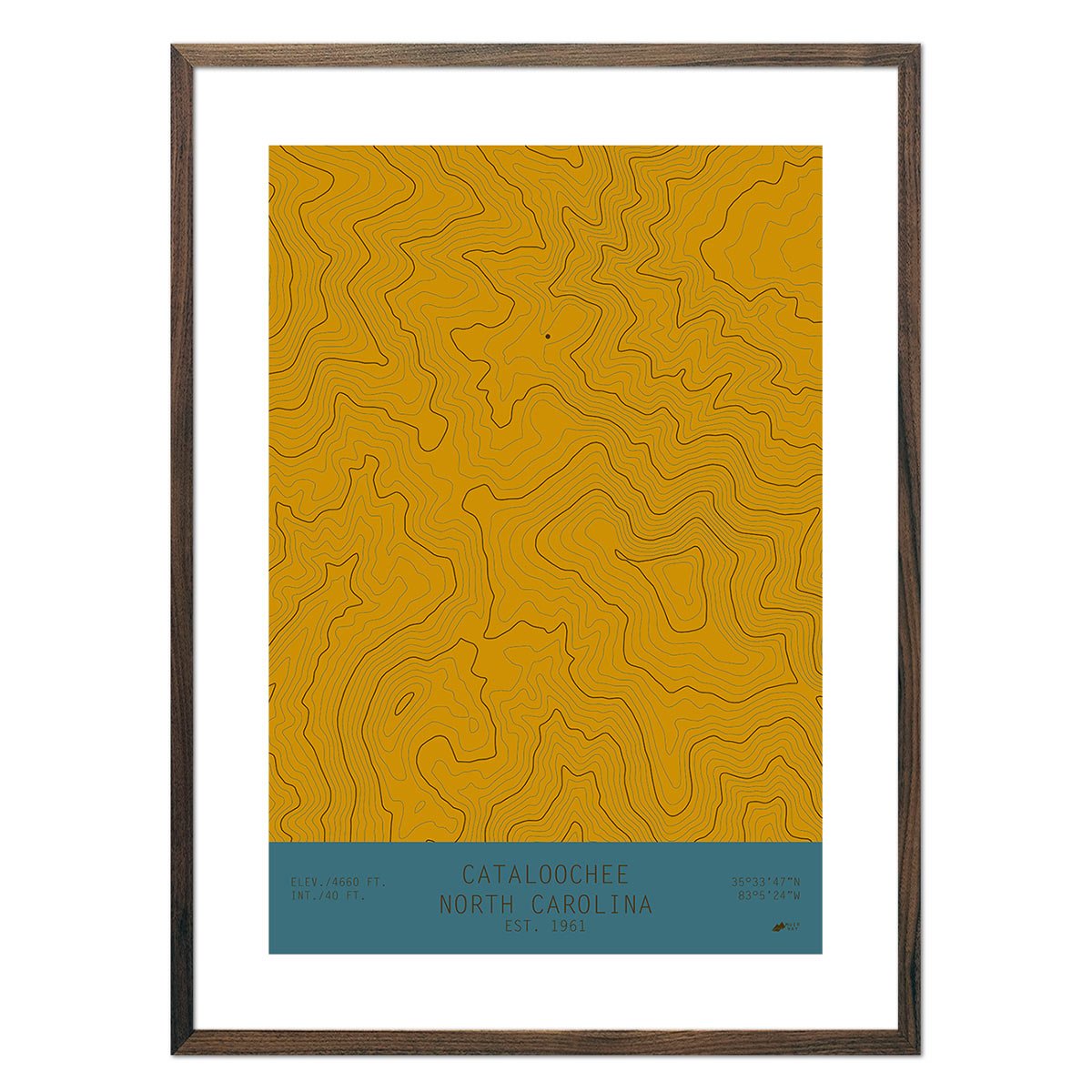
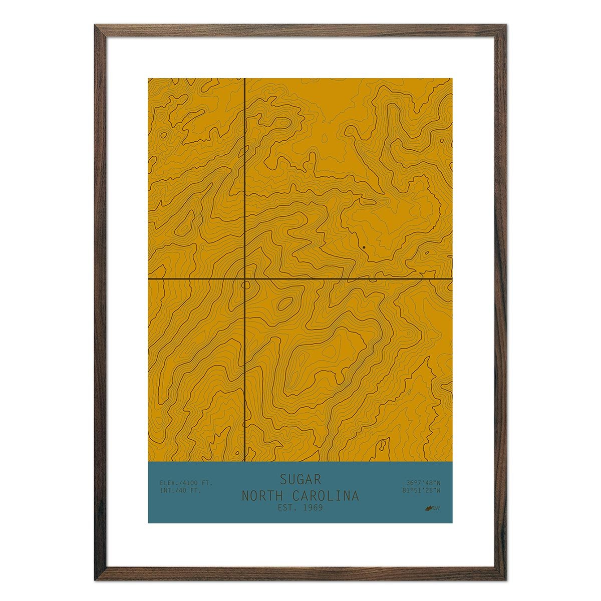
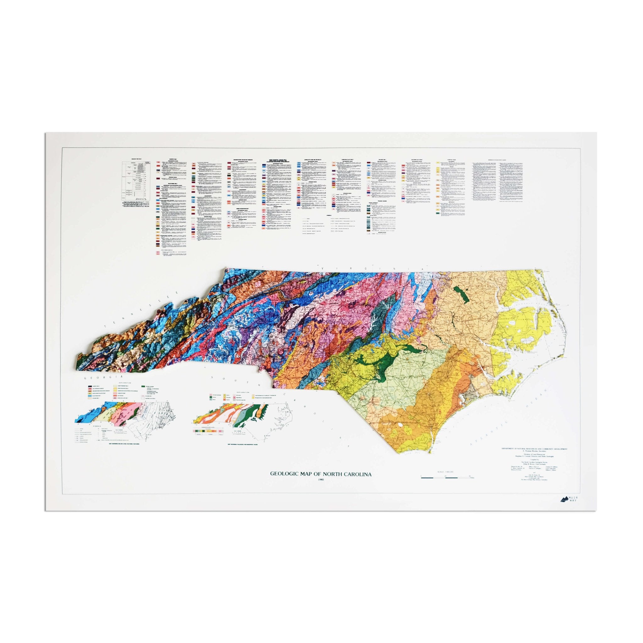
North Carolina relief maps - Our relief maps of North Carolina bring historical map landscapes together with modern technology to show the state’s landscapes in a new way. Using Digital Elevation Data and hand-shaded relief, we custom enhance vintage maps to create a 3D effect on a 2D surface. See North Carolina’s spectacular terrain in vibrant colors on our North Carolina 1972 Relief map and our North Carolina 1958 Relief map.
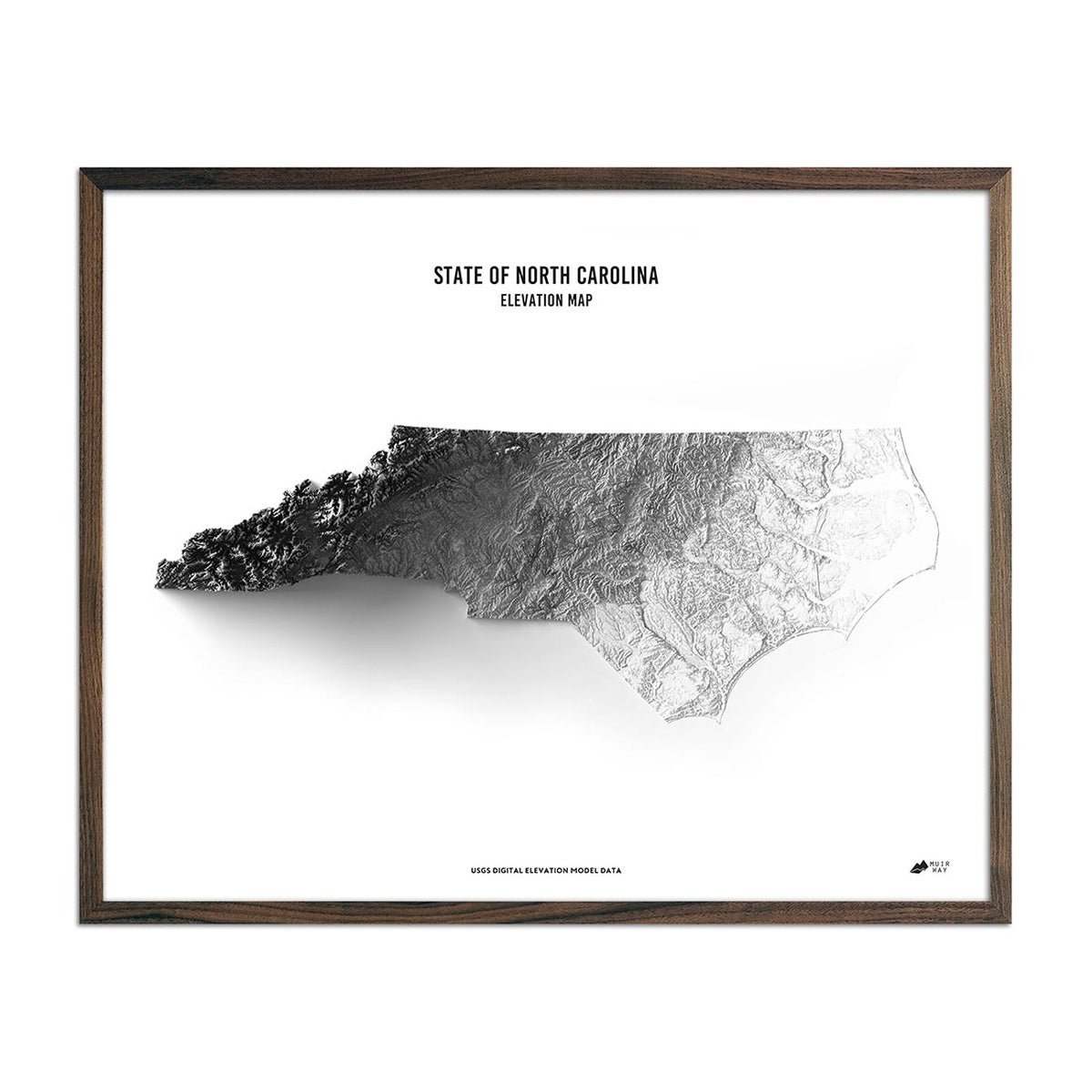
North Carolina elevation maps - Our North Carolina elevation map uses Digital Elevation Data from the USGS and hand-shaded relief just like our relief maps to create a high-contrast 3-dimensional effect in stunning black and white.
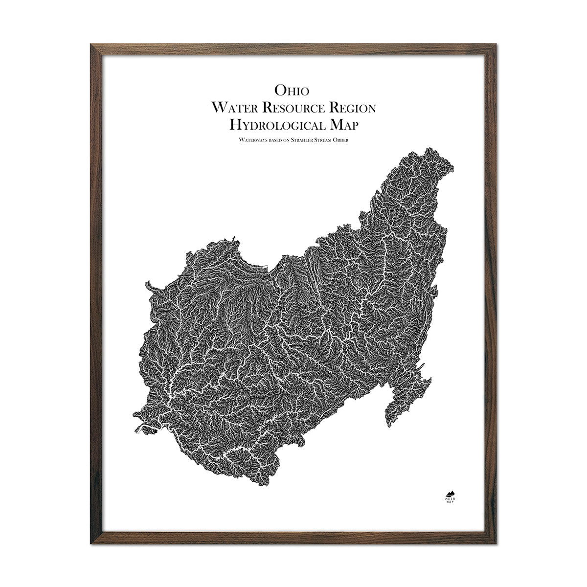
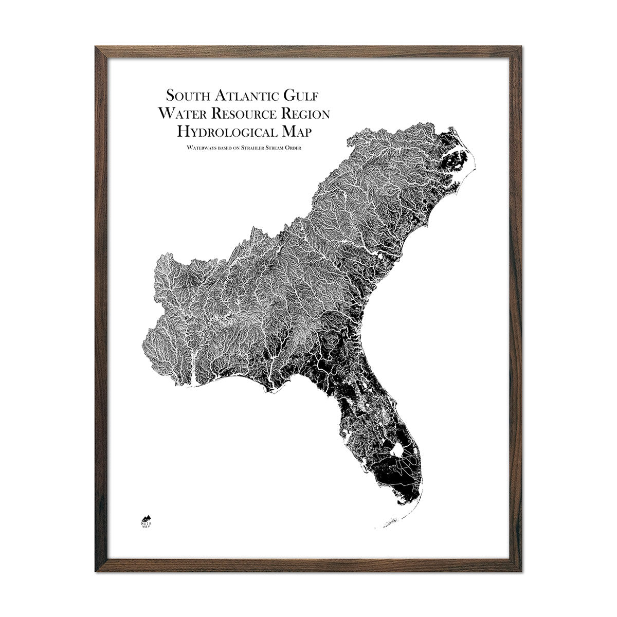
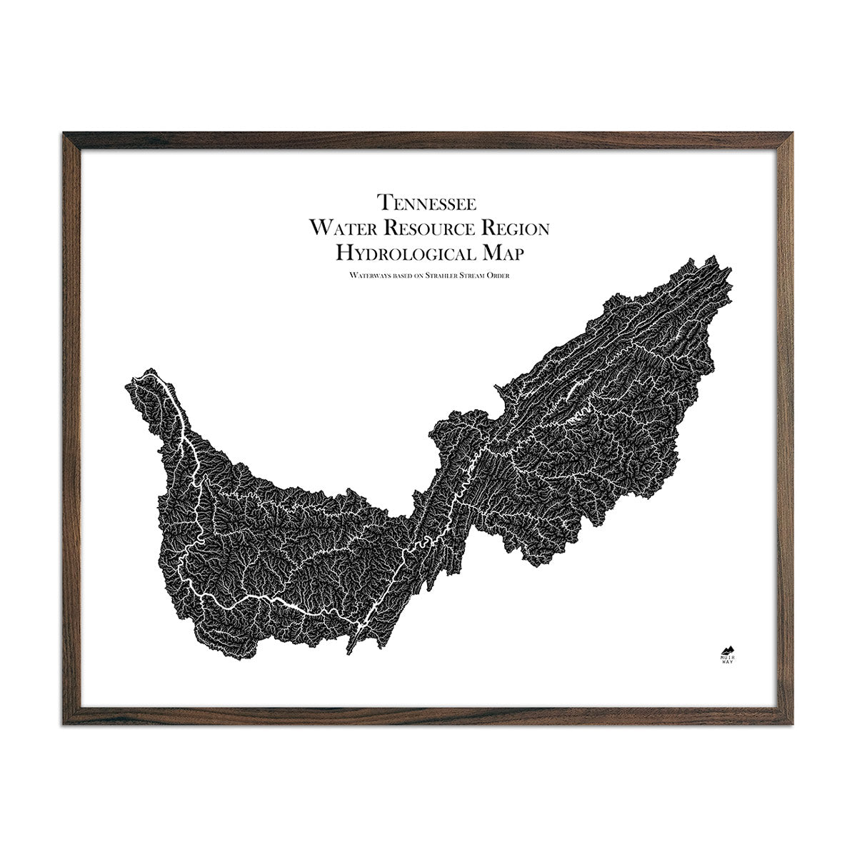
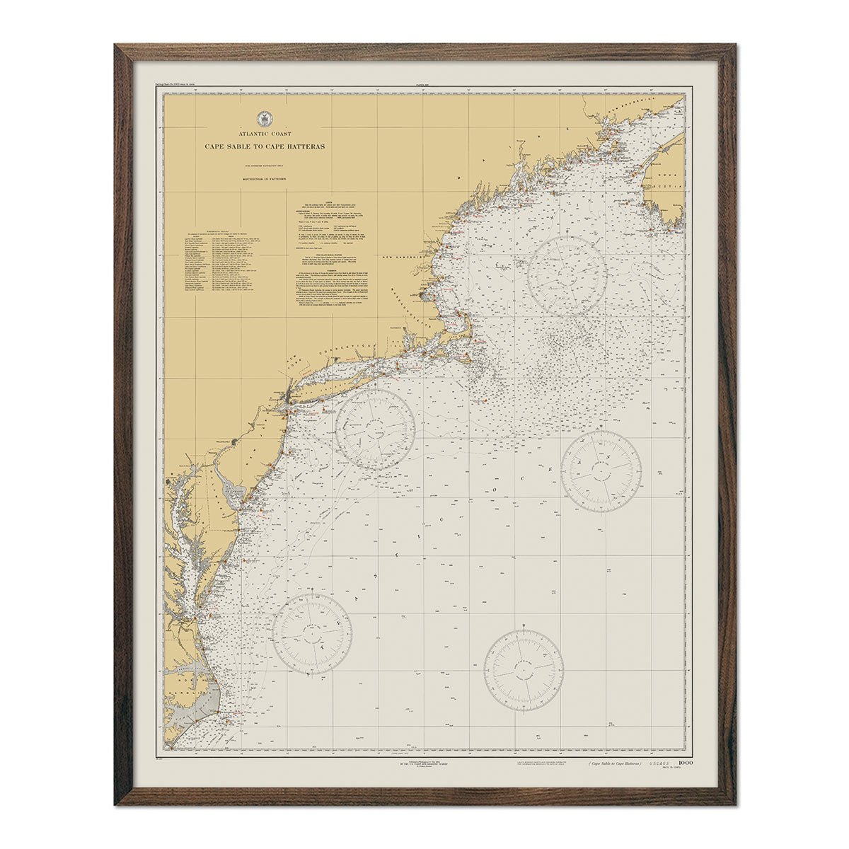
North Carolina hydrological maps - Our hydrological maps showcase the intricate network of waterways, from sprawling lakes to narrow tributaries that flow into larger rivers. Trace North Carolina’s waterways on our North Carolina hydrological map and you’ll see every body of water greater than 0.2 mi in diameter. What makes our hydrological maps unique? We apply a method called the Strahler Stream Order to show the hierarchy of streams as they flow from their source, with rivers shown thicker as they acquire the flow of tributaries. Map available in black, blue, or green. Want to see the ‘big picture?’ See our South Atlantic-Gulf regional hydrological map and our Tennessee regional hydrological map.
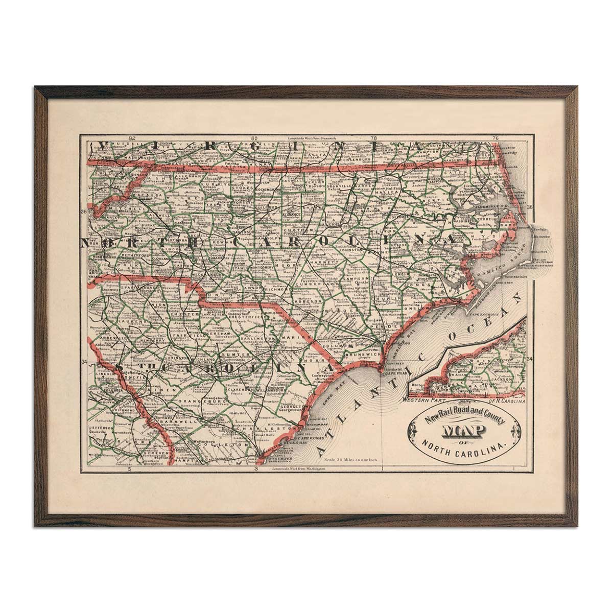
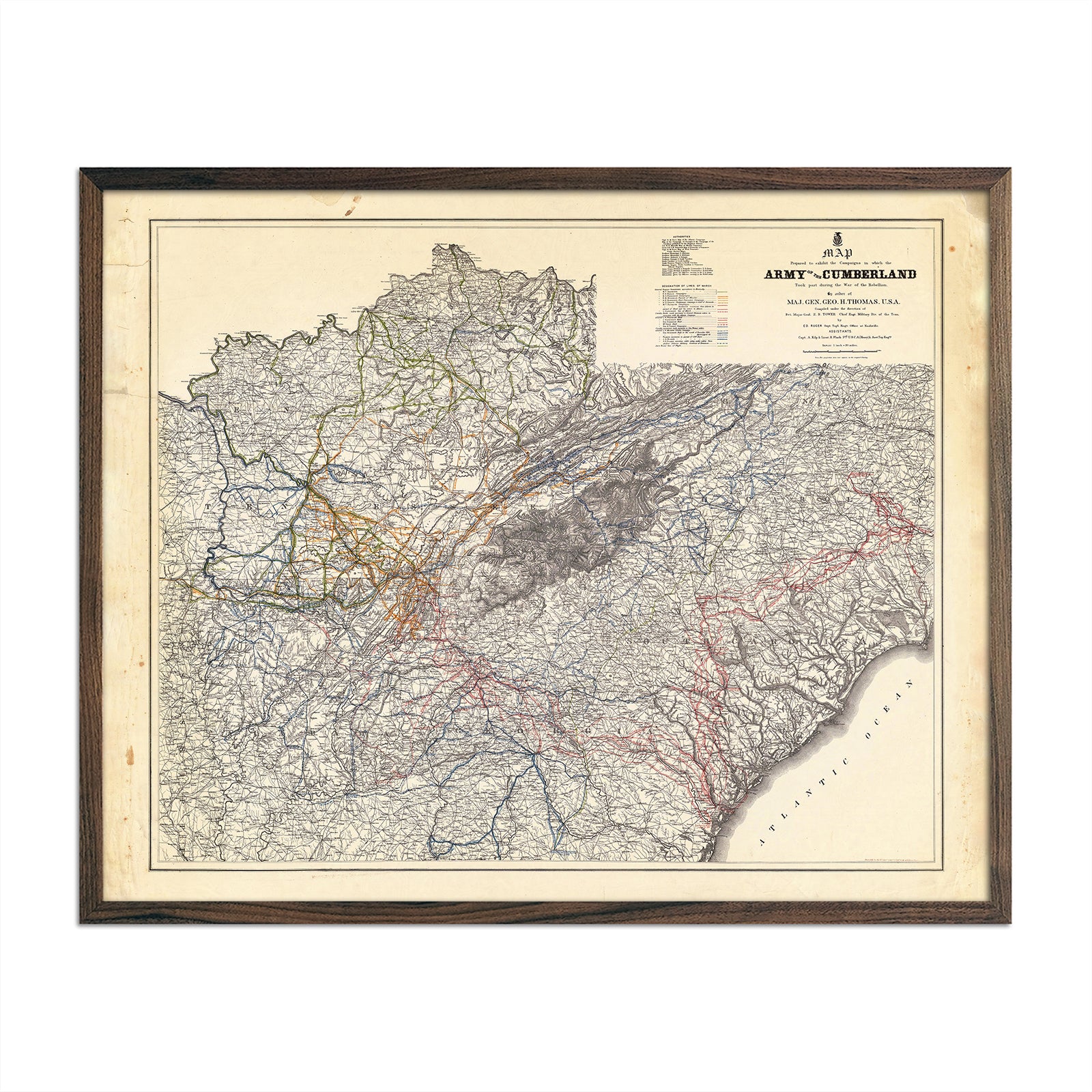
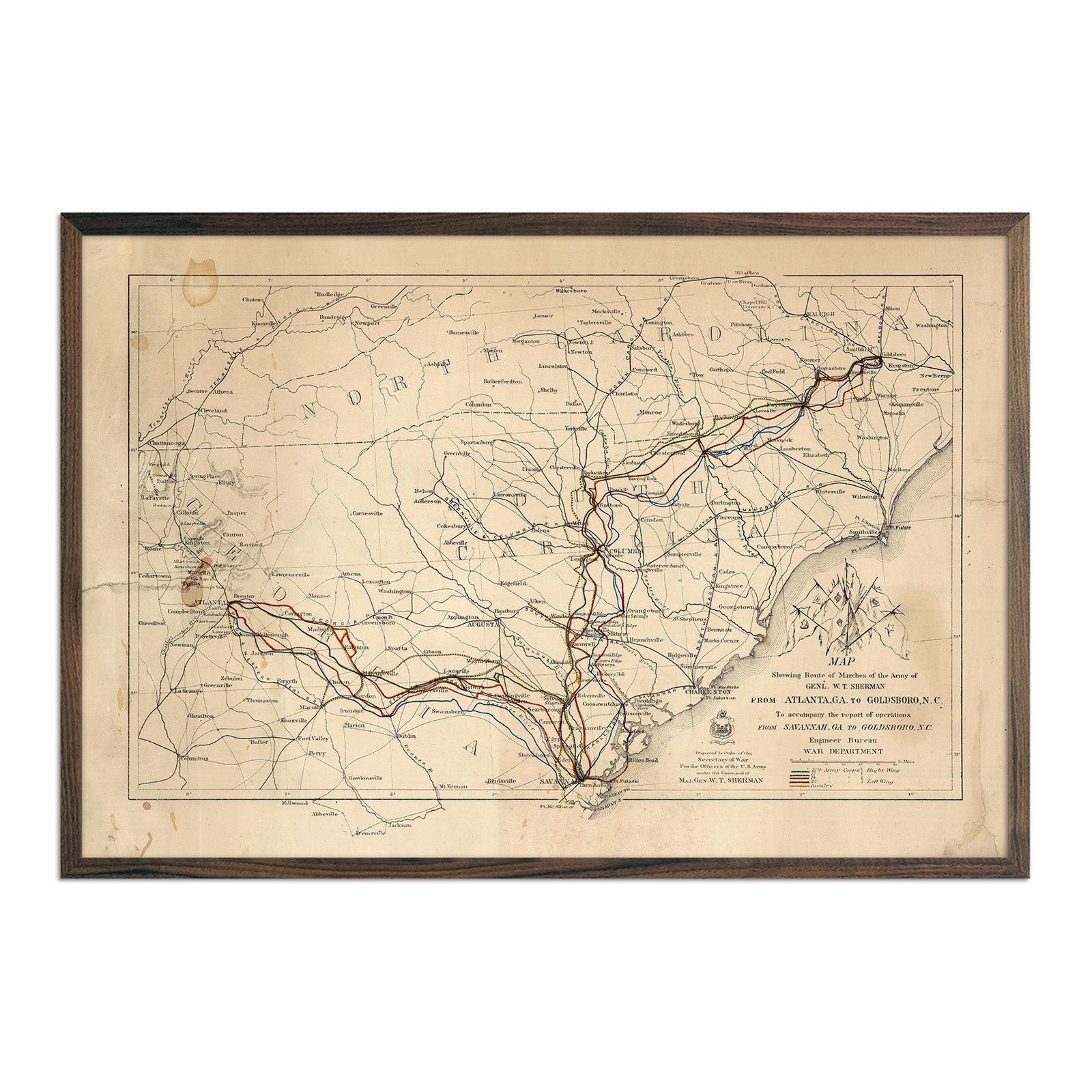
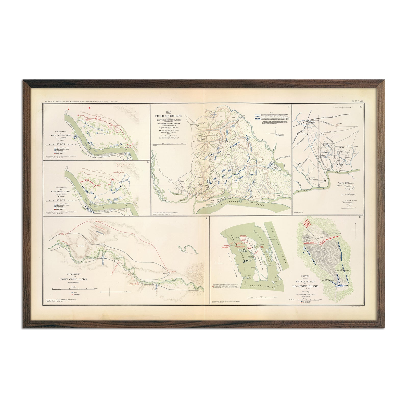
Enhanced vintage North Carolina maps - Enjoy the history and charm of vintage maps in a new way with our North Carolina 1883 map or our Charlotte, NC 1967 USGS map. Unlike our elevation maps, Muir Way historical maps don’t feature enhanced elevation effects, but they do feature a record of history beautifully restored to retain its vintage charm without the wear and tear. Our vintage North Carolina maps are also custom printed using archival materials.
What are some prominent features on the map of North Carolina?
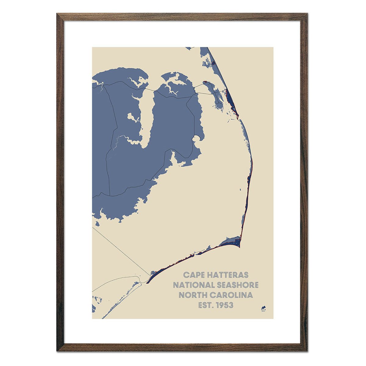
North Carolina has a number of prominent features. One of the state’s most prominent natural wonders is the Outer Banks. This 200 mile stretch of barrier islands has beautiful beaches and unique scenery. They have a mix of rolling dunes, beach grasses, and wetlands.
In the north of the state is Pilot Mountain, a remnant of the ancient Sauratown Mountains. It is a 1400ft monadnock, an isolated small mountain that rises abruptly out of the surrounding landscape.
In the southwest is the New River. Despite its name, it is one of the oldest rivers in North America and the world. It may have been in its course for the last 65 million years. Starting in the Blue Ridge Mountains, it flows to the northeast into Virginia.
Mt. Mitchell, the highest point east of the Mississippi River, is in the east of the state. It is also the highest peak of the Appalachian Mountains. Its summit is covered with dense spruce-fir forest.
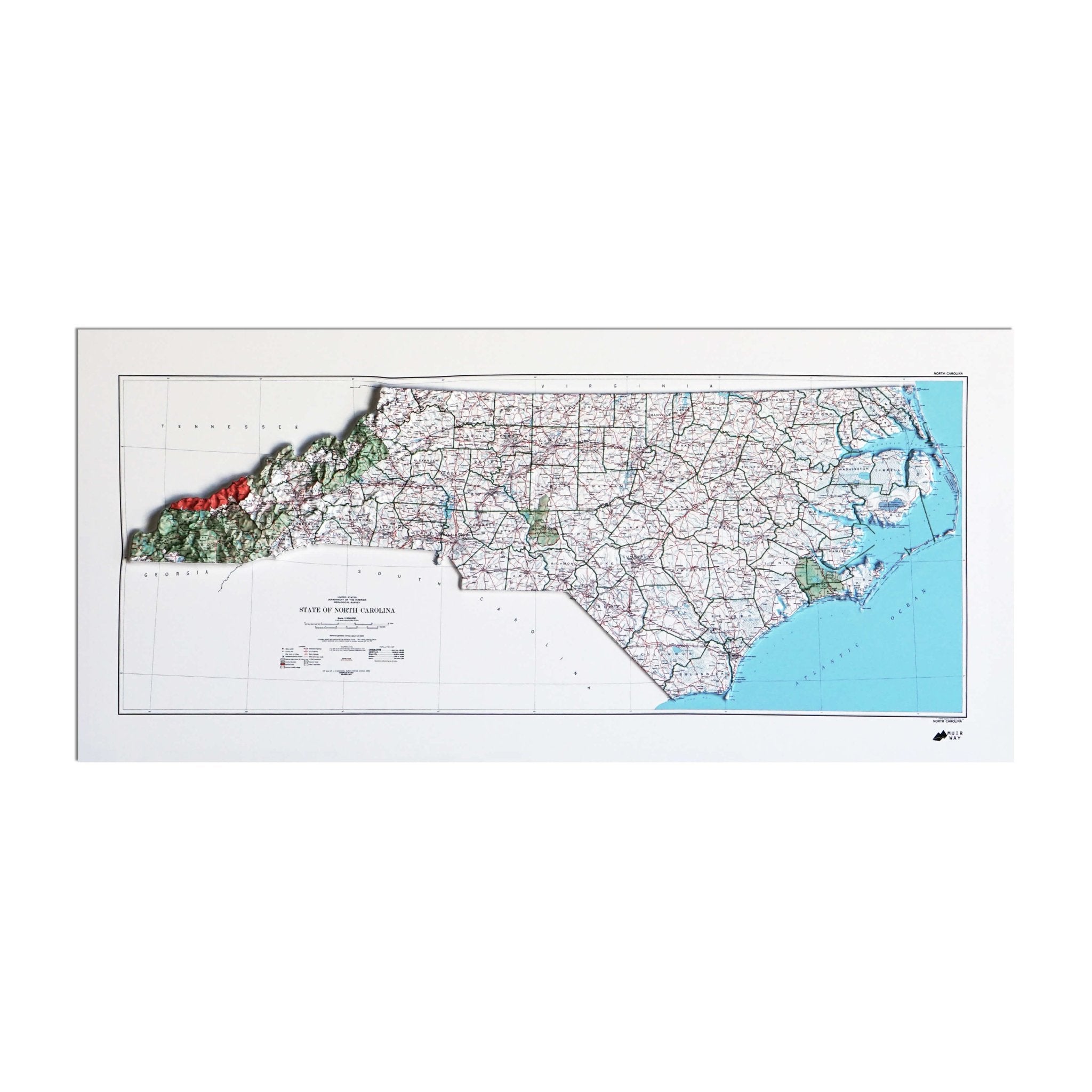
What are the regions in North Carolina?
North Carolina has three main geographical regions:
- The Coastal Plain - Located in the eastern part of the state, this low, flat land stretches from the coast of the Atlantic Ocean to the farmland of the Inner Coastal Plain. Along the coast are the Outer Banks, a string of barrier islands that are separated from the mainland by inlets. The Outer Banks has three capes -- Cape Hatteras, Cape Lookout, and Cape Fear.
- The Piedmont - Also referred to as the foothills, the Piedmont is characterized by rolling hills that lead up to the Appalachian Mountains.
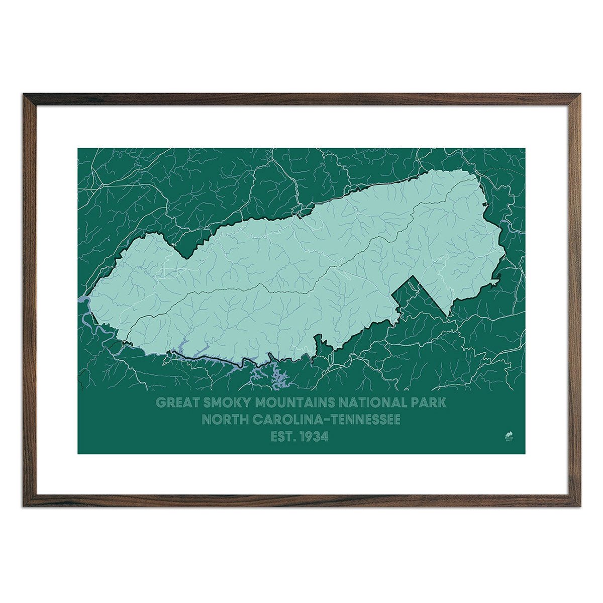
- The Mountains - The Blue Ridge Mountains and the Great Smoky Mountains are located in the west of the state. They are part of the Appalachian Mountains, which are one of the oldest mountain ranges in the United States. The region is home to Mount Mitchell, which at 6,684 feet above sea level is the tallest peak east of the Mississippi River. The Eastern Continental Divide runs along the top of the Blue Ridge Mountains, separating the rivers flowing east from those flowing west. Rivers that fall on the eastern side of the divide flow toward the Atlantic Ocean while those on the western side of the divide flow toward the Tennessee and Ohio rivers and into the Gulf of Mexico.
If you like our collection of North Carolina maps, you may also be interested in maps of other Southeast states. Click below to browse:
