


Mississippi Map Prints, Shaded Relief & Elevation Maps
The state of Mississippi is home to centuries of history, fascinating geography, and winding rivers. At Muir Way, we strive to capture its essence in our beautiful Mississippi maps. More than just a geographic reference, our Mississippi maps are works of art built to last for generations. From pop-off-the-page elevation and relief maps to restored vintage maps, each product we offer reflects the quality and attention to detail our customers have come to expect from Muir Way.
What makes Muir Way maps of Mississippi unique?
Muir Way's detailed maps are much more than a mass-produced poster or facsimile. We custom print our maps with the best materials available, designing them to stand the test of time. All of our Mississippi maps are made using archival materials certified to last 100 years, so when you purchase a map from us, you’re purchasing an heirloom-quality piece of artwork. With our relief and elevation maps, use official USGS Digital Elevation Data and apply hand-shading for a unique three-dimensional effect on a flat surface. For our hydrological maps, we highlight every body of water in the state, from the great Mississippi River to the smallest tributaries, any body of water over 0.2 miles in diameter can be traced throughout.
Can I get my Mississippi map framed?
Yes! Many of our Mississippi maps are available for purchase on both fine art paper and gallery-wrapped canvas, and all are available professionally custom-framed with real wood. If you’d like to purchase your Mississippi artwork framed, you have the option to choose from several different wood finishes to perfectly match your décor. If you’d prefer to use your own frame, all of our maps are also available unframed and come in standard, frameable sizes.
Is a Muir Way map of Mississippi a good gift idea?
Our custom-printed Mississippi maps make a great gift for “the person who has everything”. In addition to being unique gift ideas for special holidays and anniversaries, our Mississippi maps also make fantastic gifts for graduates about to leave home for the first time, new retirees, and newlyweds. Our maps also make memorable corporate gifts that will remind your clients or colleagues of you every time they look at their wall.
How should I display my Mississippi map?
Our maps are designed to be appreciated from across the room as well as up close. Hang a framed wall map as a central focal point or purchase several and arrange them near each other for a complementary series. Our hydrological maps come in several colors or the quintessential black and white, and our geological relief maps feature brilliant colors. No matter which Mississippi illustration you choose, you’re sure to find one that will suit your décor.
What are the different types of maps of Mississippi available on Muir Way?
We have several maps specific to Mississippi, and several others showing the region around it. Whether you’re looking for something vintage or modern, Muir Way has a map for you. Our Mississippi maps include:
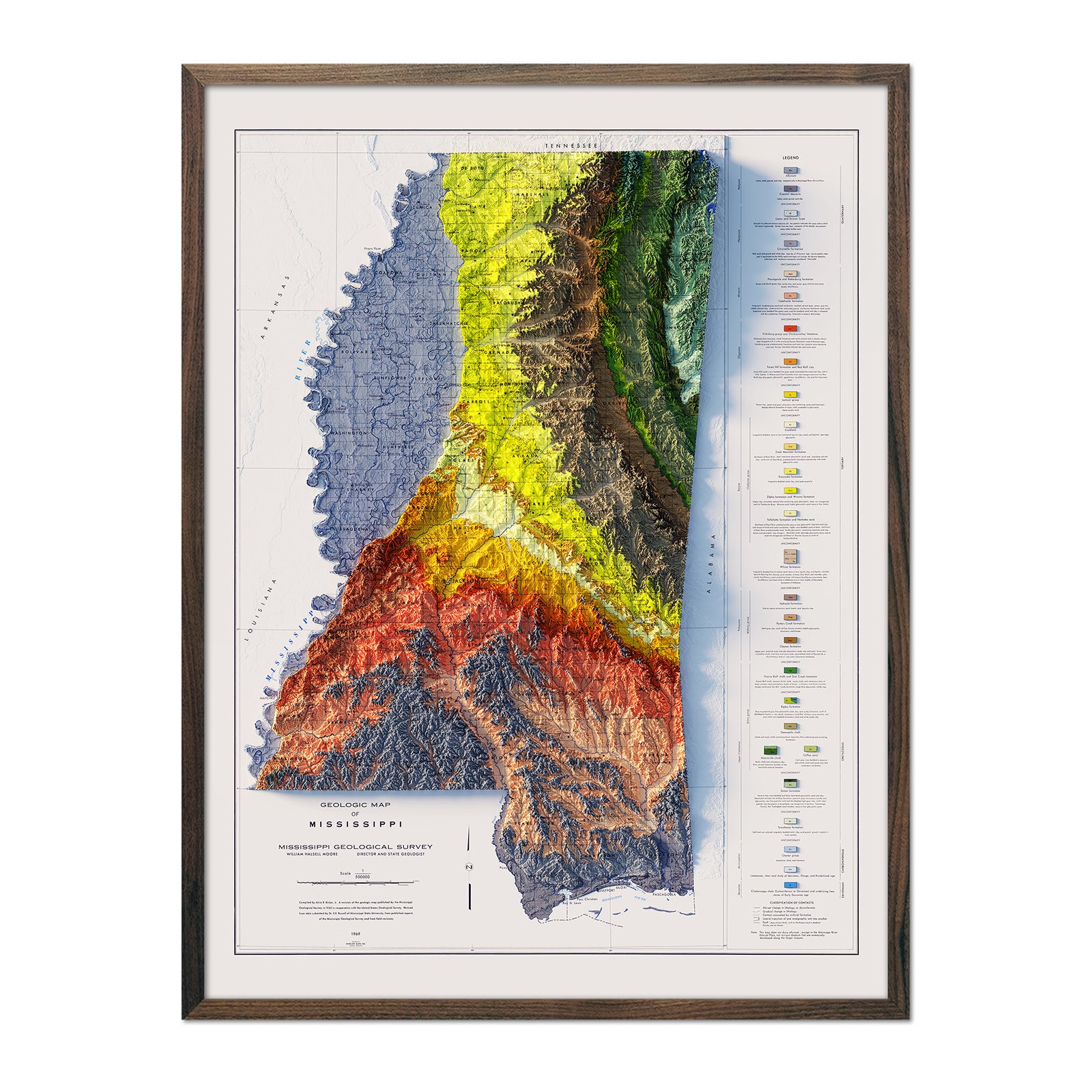
Mississippi relief maps - Our 1969 Mississippi relief map brings together historical map landscapes with modern technology to showcase Mississippi’s beautiful topography in an exciting new way. Using official USGS Digital Elevation Data and hand-shading, we custom enhance real vintage map imagery to create a surreal, color-coded three-dimensional effect on a flat printed map.
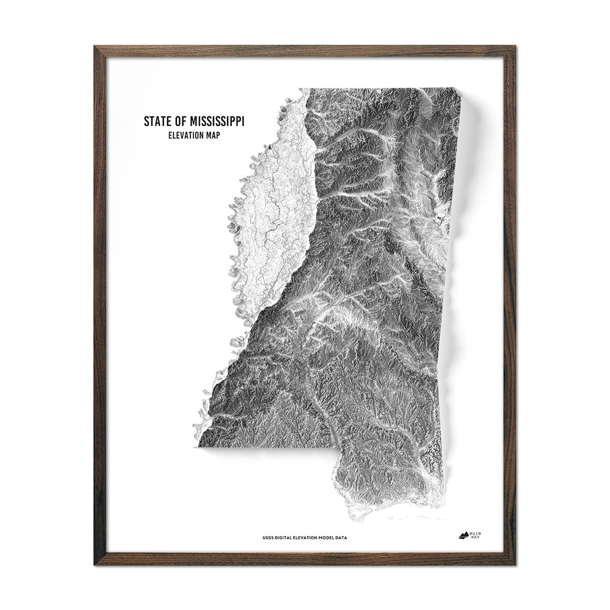
Mississippi elevation maps - Our state of Mississippi elevation map also uses Digital Elevation Data from the USGS and hand shading, but other geological keys, city or county names, and text have been removed, leaving a beautiful, black and white rendition of the state against a crisp white background.
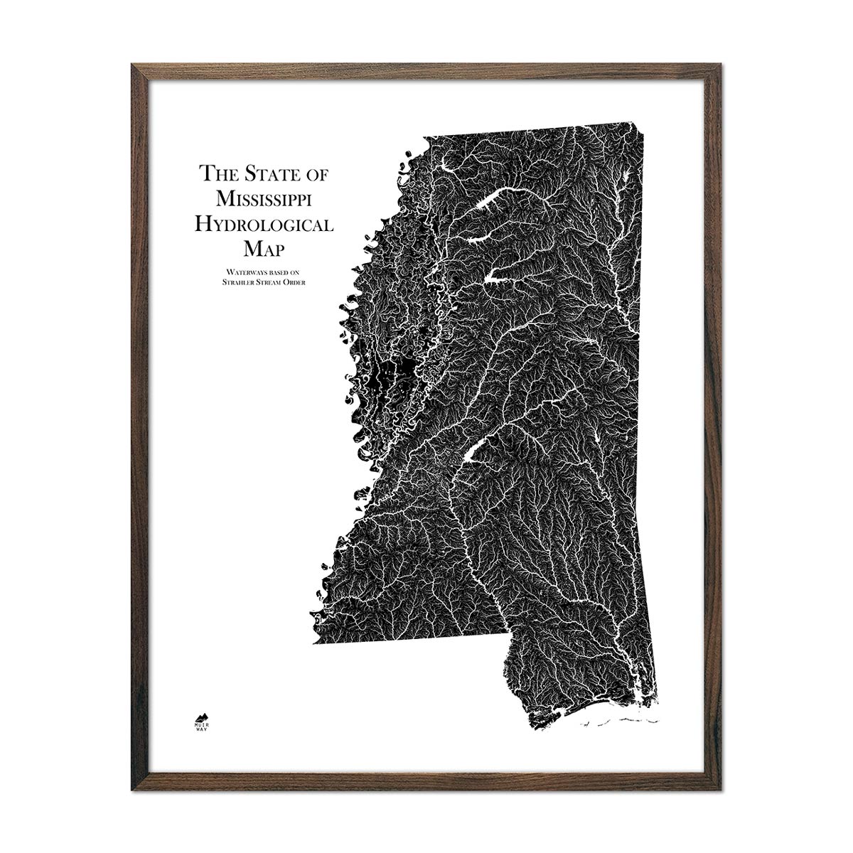
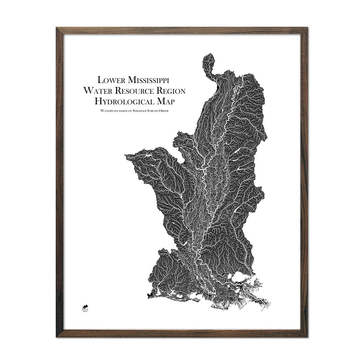
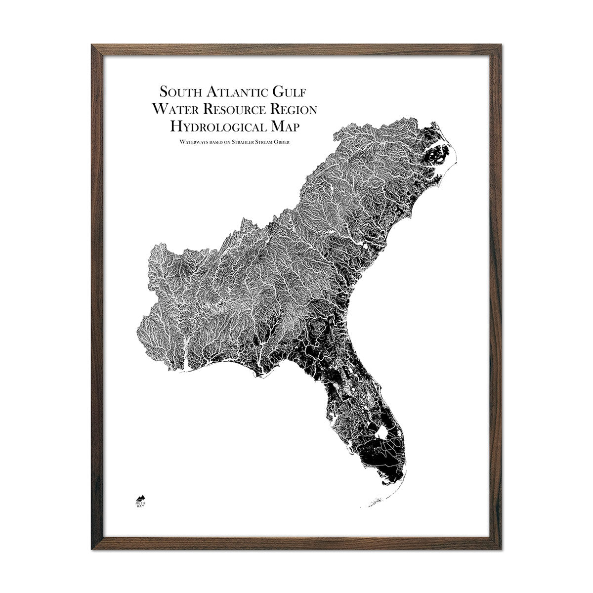
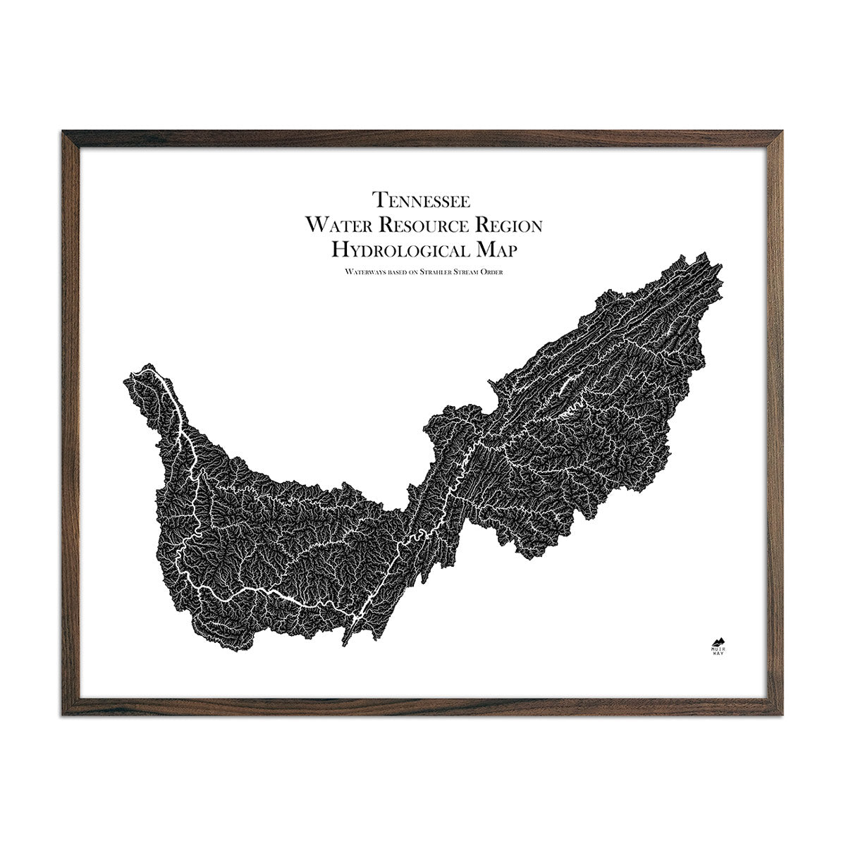
Mississippi hydrological maps - Designed to catch the eye across the room and deliver minute detail up close, our hydrological maps come in multiple colors and are a joy to peruse. Whether following the interconnected trails of water on our Mississippi state hydrological map or one of our regional Mississippi hydrology maps, you’ll be able to view all bodies of water greater than 0.2 mi in diameter (including, of course, the Mississippi River). Like our other maps, our hydrological maps have a hand-crafted touch as well - we apply a method called the Strahler Stream Order to show the hierarchy of streams as they flow from their source, with rivers shown thicker as they acquire the flow of tributaries.
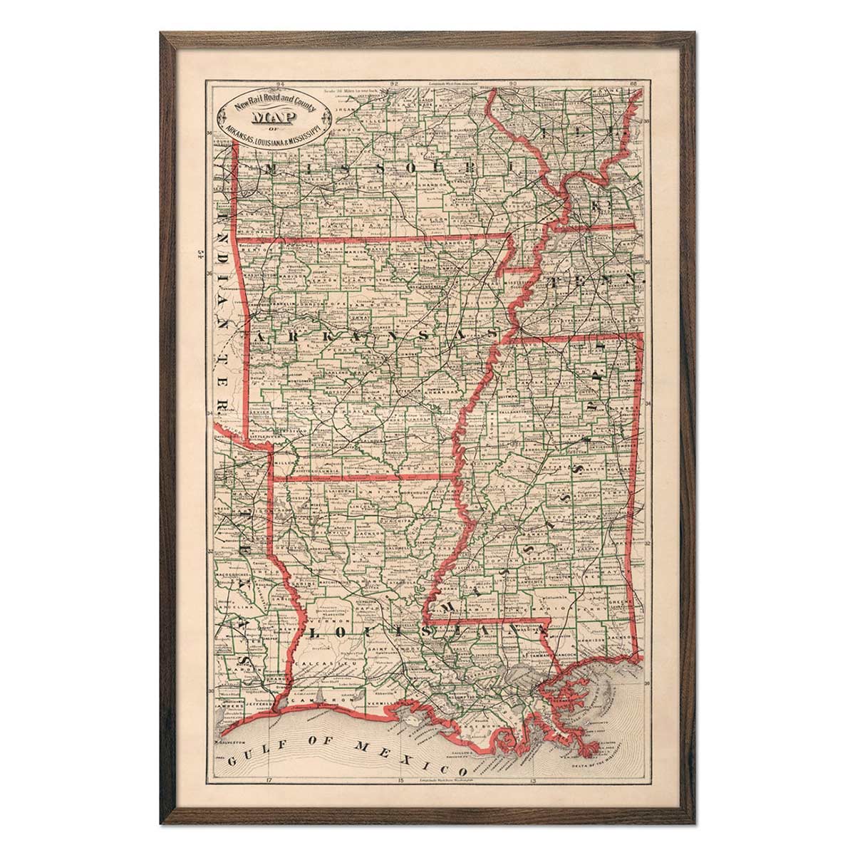
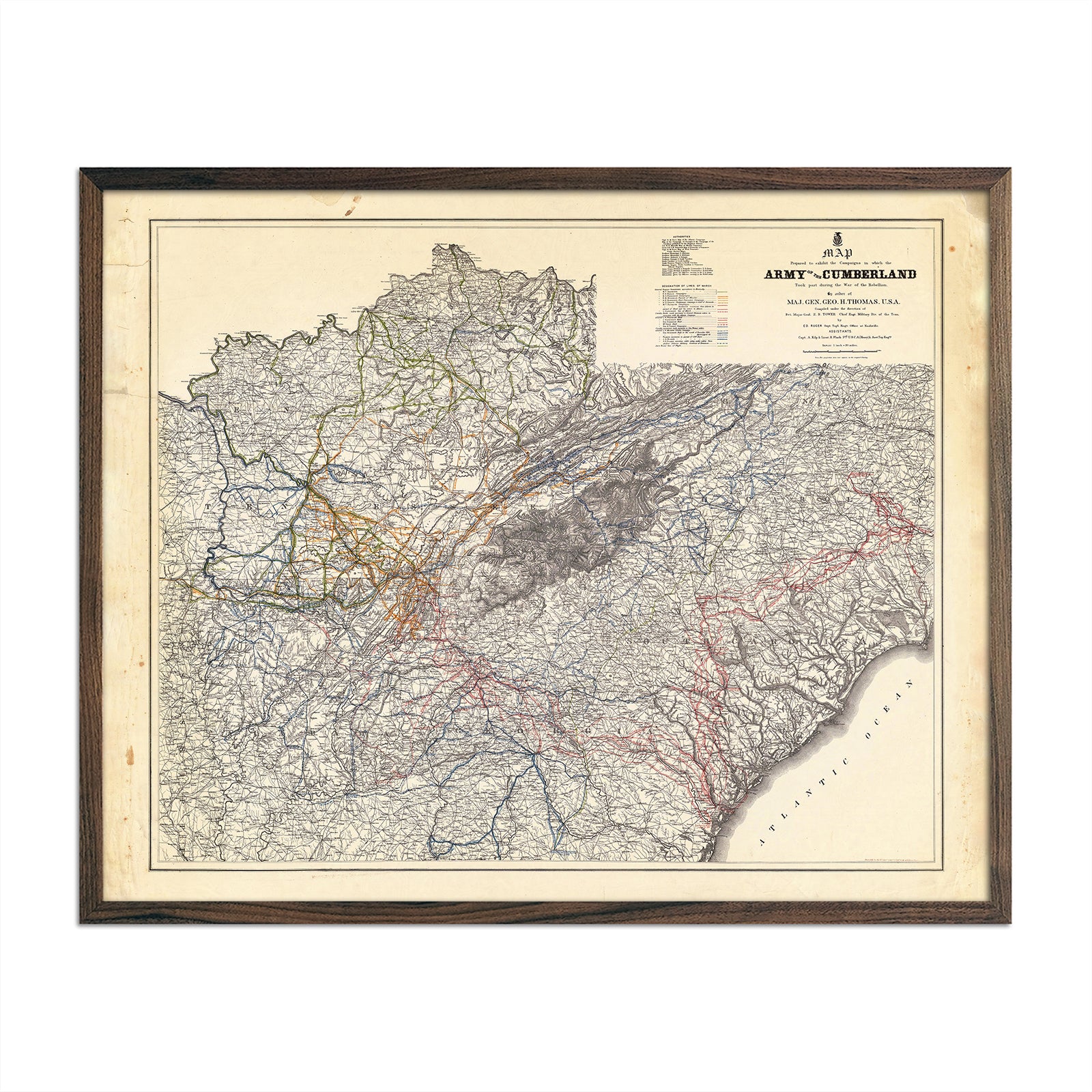
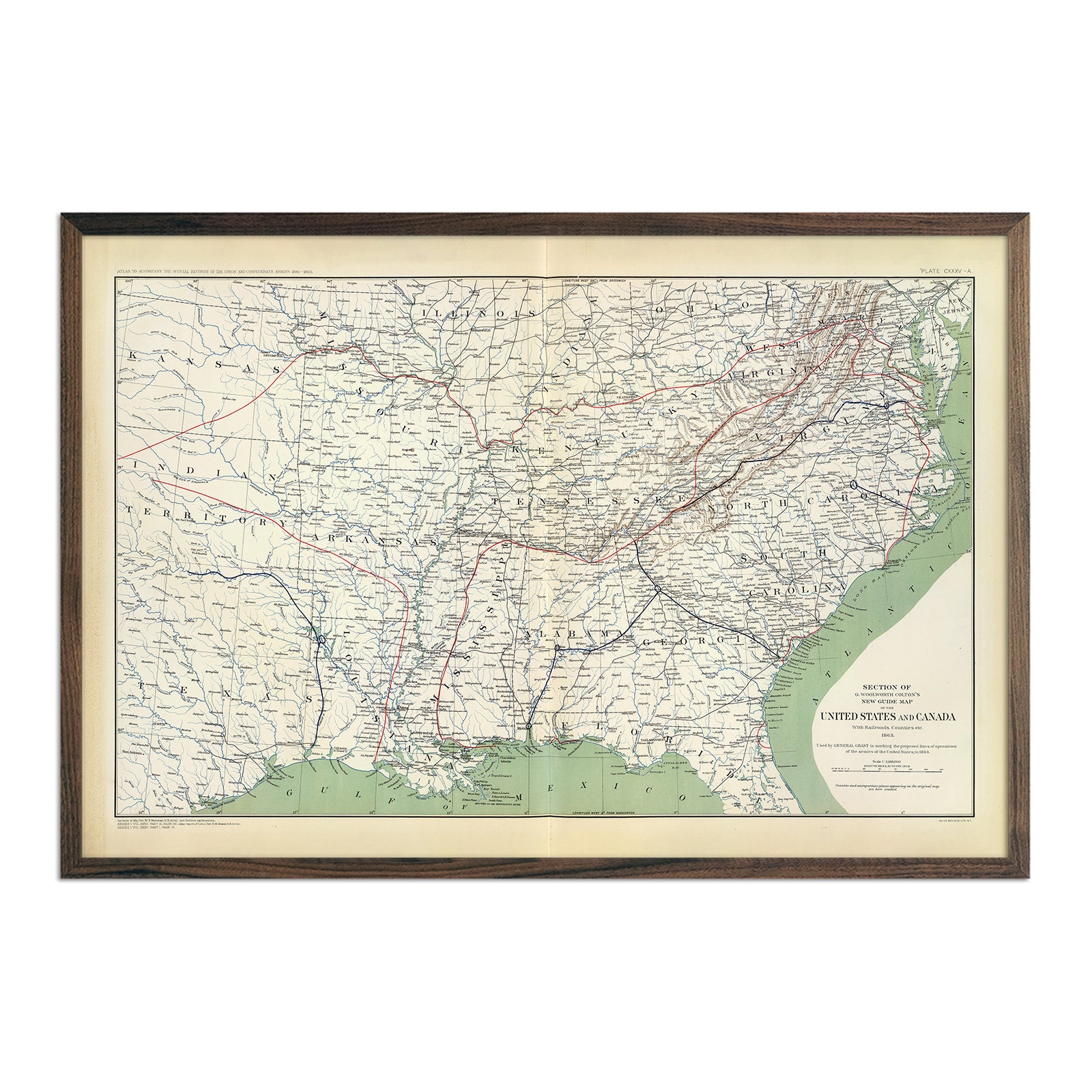
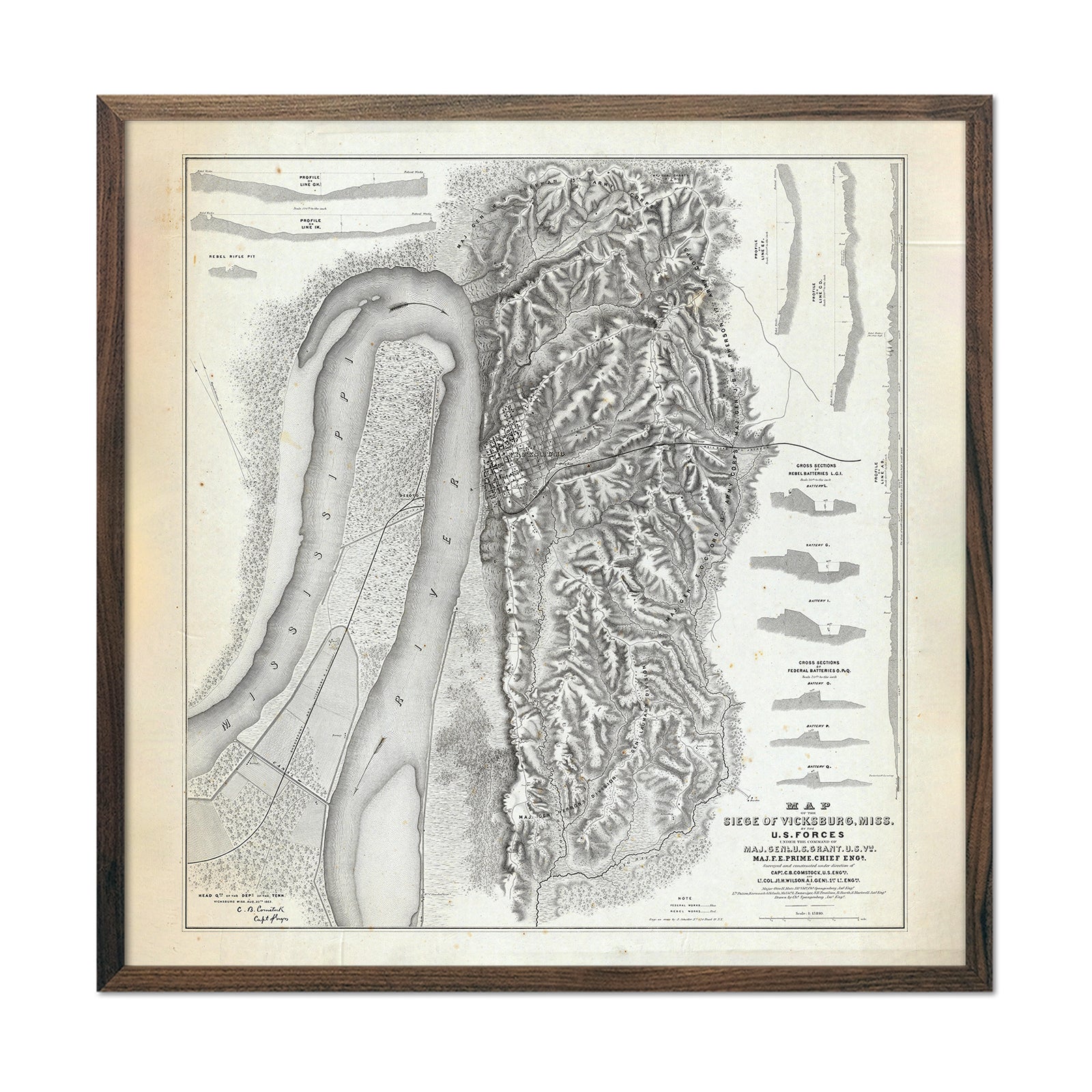
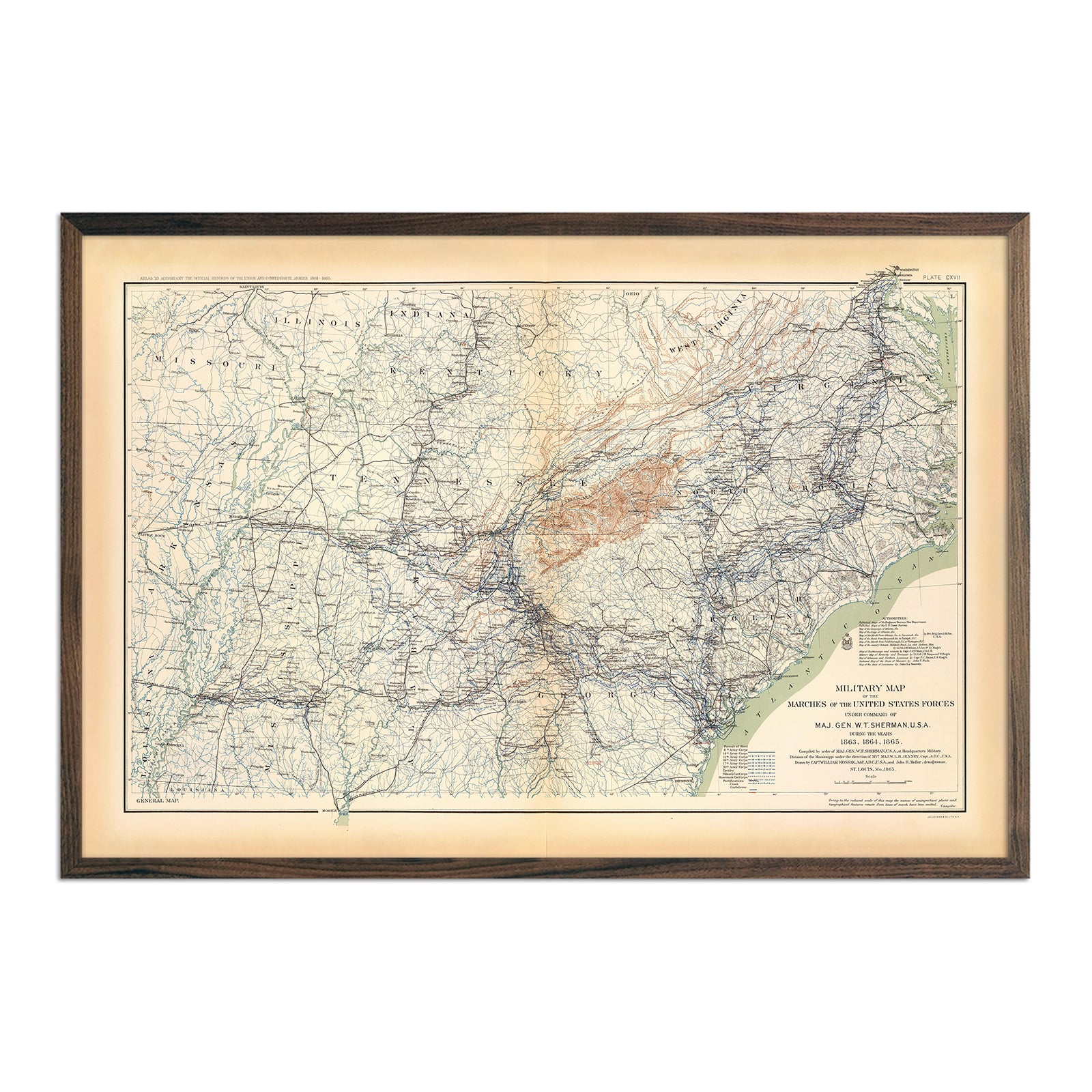
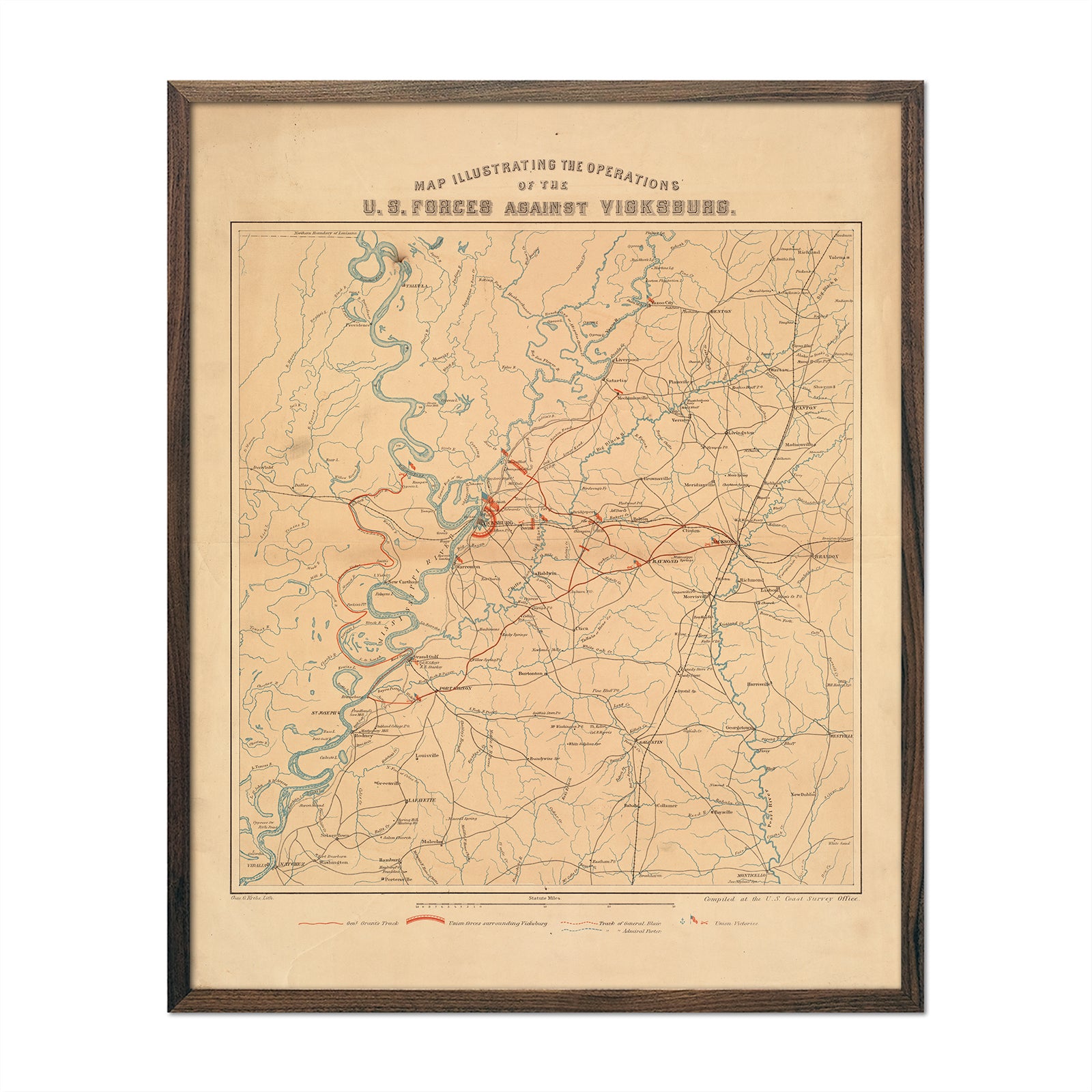
Enhanced vintage maps of Mississippi - If you like vintage maps, you’ll love our regional vintage map of Arkansas, Louisiana, and Mississippi showing the states as they were in 1883. Unlike our relief map series, our historical maps don’t feature elevation, but what they do feature is a record of history beautifully printed and ready to display. Our enhanced vintage maps are reproduction prints of authentic vintage maps, carefully restored to maintain their vintage charm without the wear & tear. As with all of our maps, our restored vintage prints are made using archival materials to preserve a snapshot of history without the fragility of older materials.
What are some prominent features on the map of Mississippi?
In addition to the prominent rivers, such as the Mississippi River, Big Black River, Pearl River, and Yazoo River, it’s widely known for, Mississippi offers a number of notable landforms that can be seen on our elevation and relief maps. Look for the following landscape points of interest as you peruse our Mississippi maps by region:
The Gulf Coast
- The Coastal Terrace
- The Barrier Islands
The Southern Wooded Prairies
- The Pine Belt
- The Central Prairie
The Delta
- The Mississippi-Yazoo River Basin
- The Loess Bluffs
The Northern Highlands
- The Red Clay Hills
- The Flatwoods
- The Pontotoc Ridge
- The Black Prairie
- The Northeastern Hills
What are the regions in Mississippi?
Mississippi can be divided into six geographical regions:
- Red Clay Hills - The central and northern part of the state, this region is aptly named for the red clay soil that makes up the region. Due to poor soil quality, it mostly served livestock, timber, and some factories.
- The Delta - Bounded by rivers and waterways, this region's rich soil led to the development of many plantations and farms.
- Black Prairie - This region expands into the larger prairie region of Mississippi’s Black Belt, and is also home to a variety of agriculture.
- Appalachian Foothills - Rolling foothills start climbing here and into Tennessee, rising above the rest of the Mississippi lowlands.
- Piney Woods - Known for heavy timber, the Piney Woods is part of the forests that stretch from Georgia to Texas. Logging and timber industries were instrumental in settling much of this region.
- Gulf Coast - Although small, this culturally diverse region is home to coastal fishing, food, and tourism.
If you like our collection of Mississippi maps, you may also be interested in maps of other Southeast states. Click below to browse:
