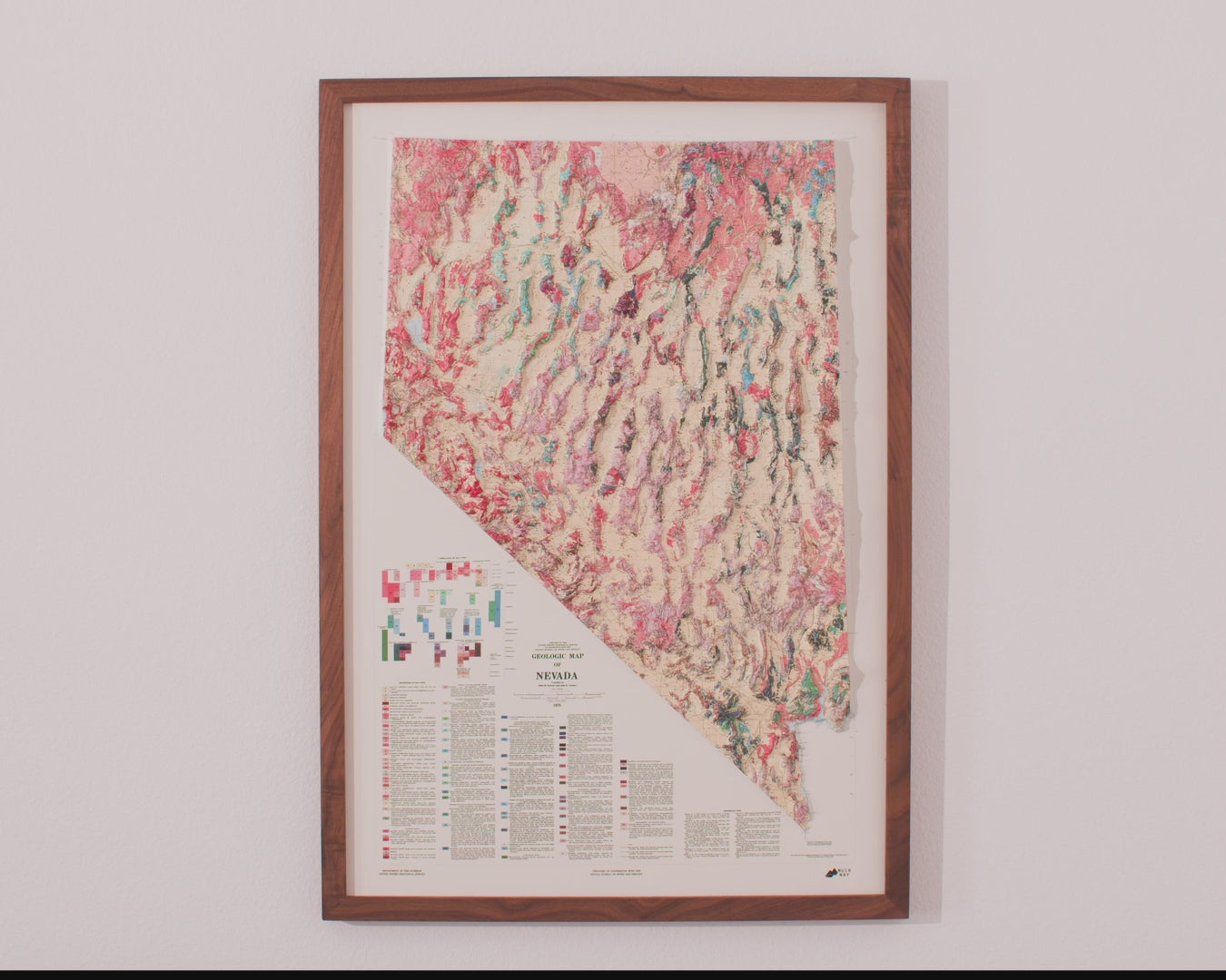
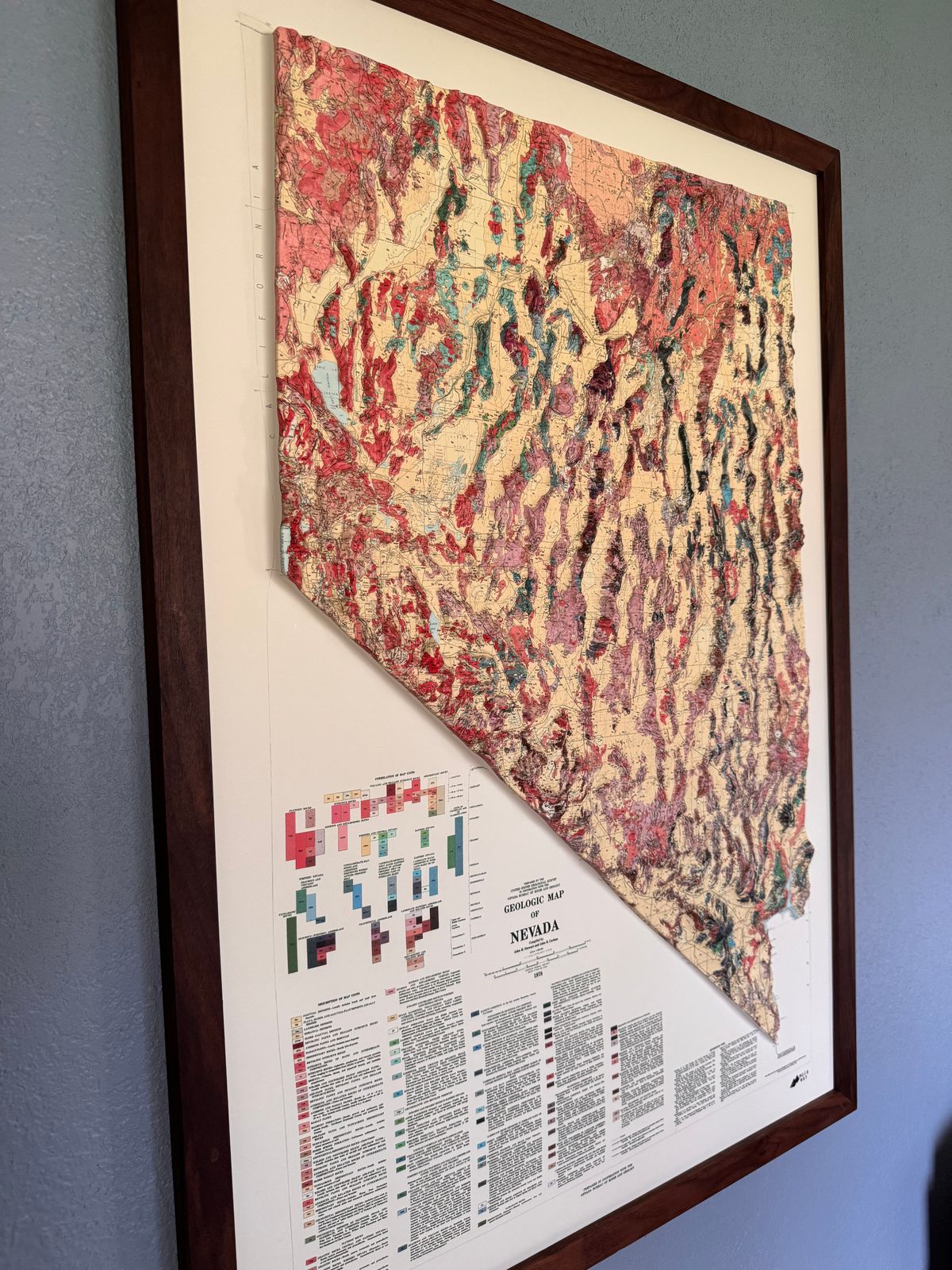
Real raised relief to explore through touch and feel.
- Size - unframed 22x32 inches
- Size - framed 23x33 inches
- Material - plastic mounted on foam board
- Handmade real Walnut frame available
- Individually made in our San Diego, CA shop
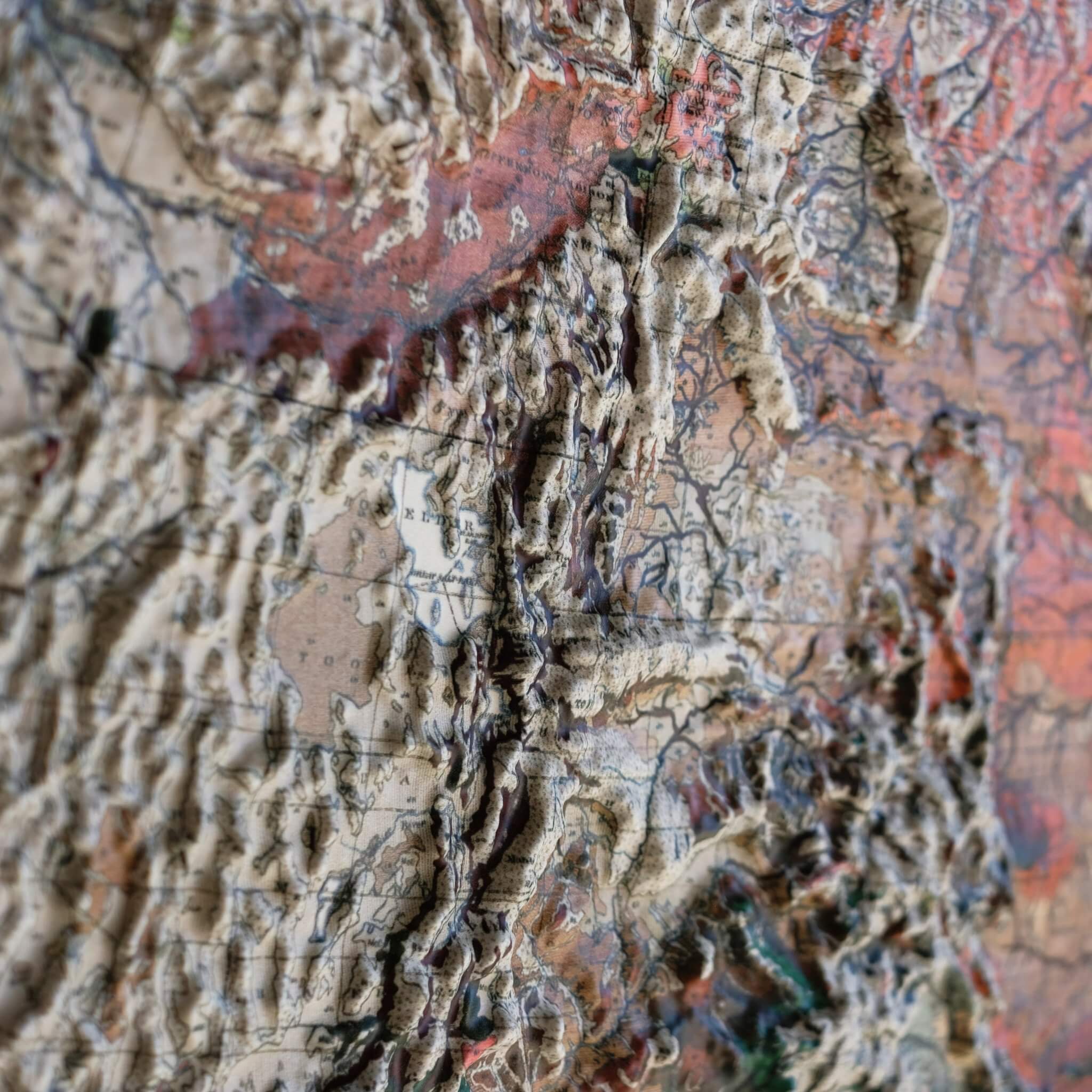
Explore the topography of Nevada's 1978 Geological Map in stunning 3D Raised Relief, an original creation from Muir Way. This historical map undergoes a meticulous process where it is printed, heated, and vacuum-formed over an intricately detailed 3D mold, revealing terrain from the Great Basin in the north — home to bristlecone pines that rank among the oldest living things on Earth — to the Mojave Desert in the south. Eight years after this map was made, Great Basin National Park was established in 1986 to help protect these ancient groves.
Framed maps do not have glass or acrylic over them, so you can touch the map and explore its intricacies.
PLEASE NOTE
You will love this map if you embrace its anomalies. When the plastic is heated and stretched over the 3D mold, the image may be altered, causing warped lines and text around higher elevations. The fine print on plastic is not as sharp as on paper, sometimes rendering very small text illegible.