MEMORIAL DAY SALE - 20% OFF PRINTS

Arizona Maps

Arizona Map Prints, Hydrological & Shaded Relief Maps

Whether you’re from Arizona, vacation there, or hope to see the Grand Canyon someday, our custom printed Arizona wall maps add a beautiful touch of the American Southwest to your home or office. From our stunning elevation maps and geological relief maps to our meticulously restored historical and national park maps, every Arizona map we create reflects the high quality and attention to detail our customers have come to love and expect from Muir Way.

What makes Muir Way maps of Arizona unique?

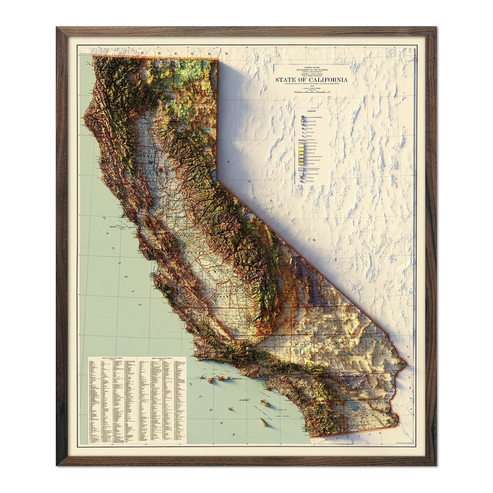
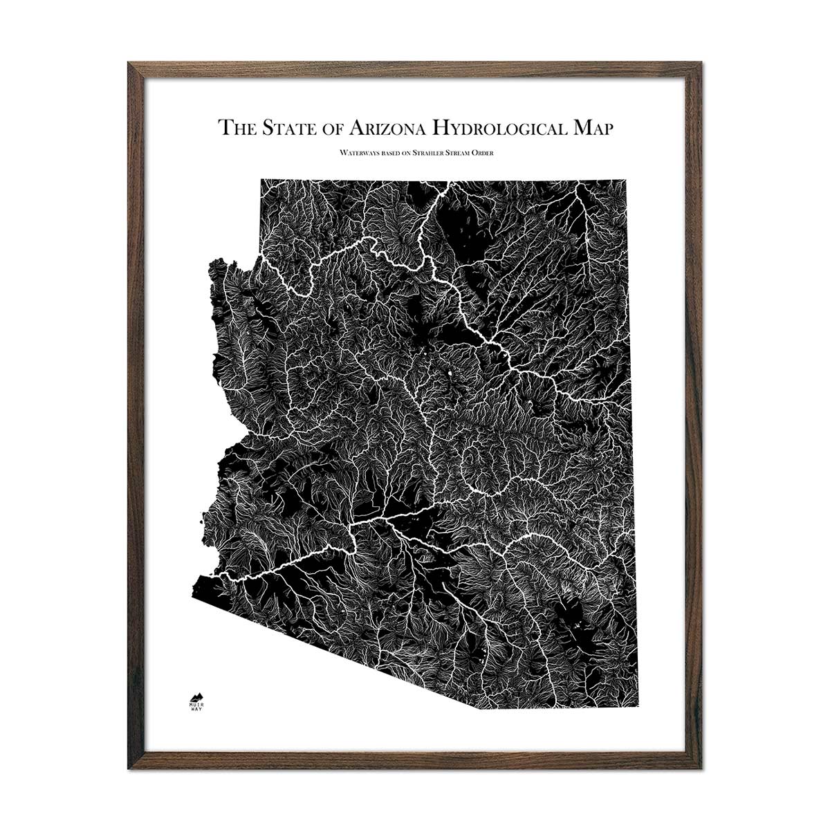
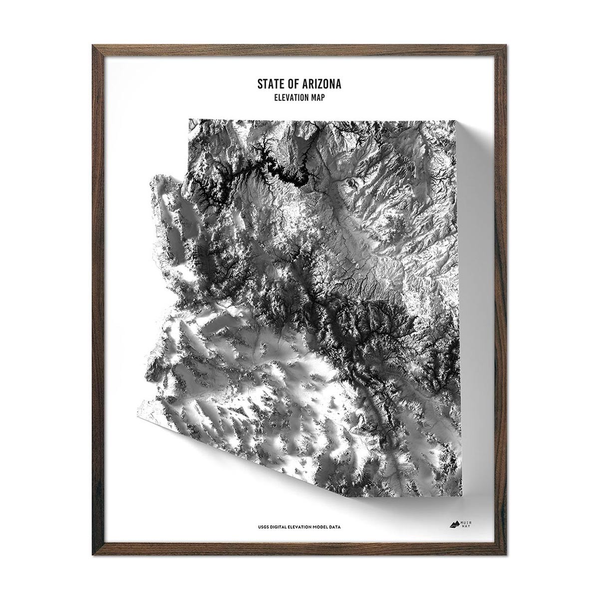
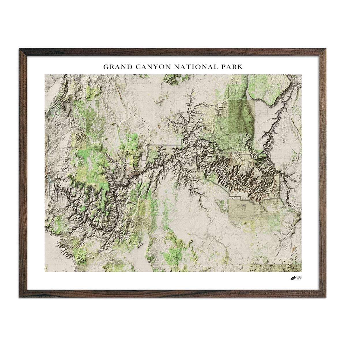
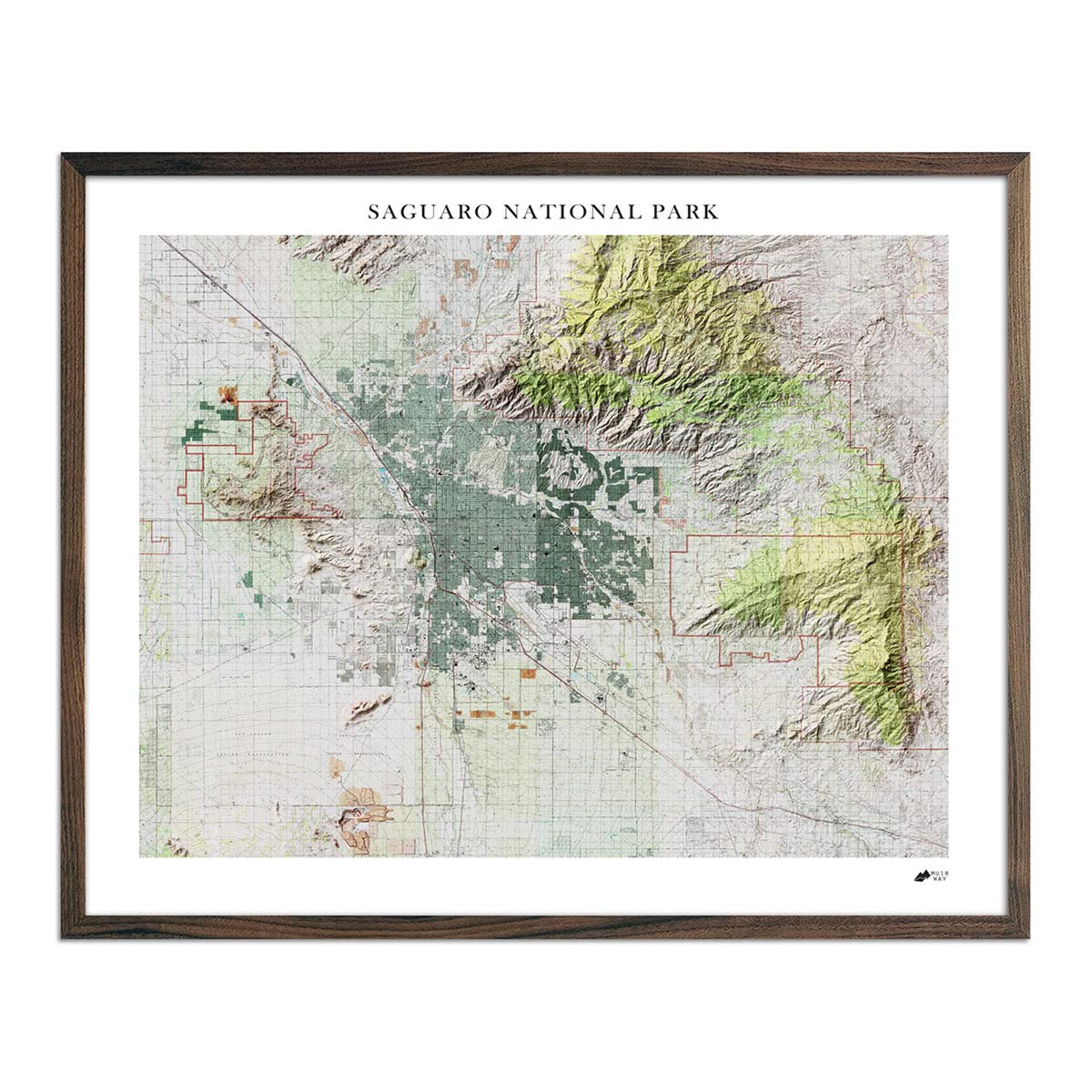
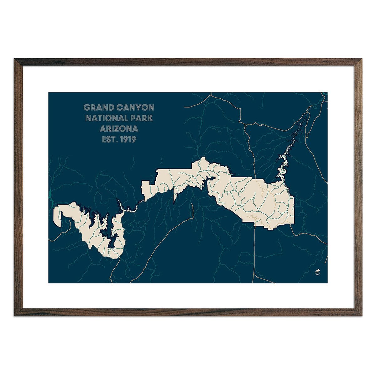
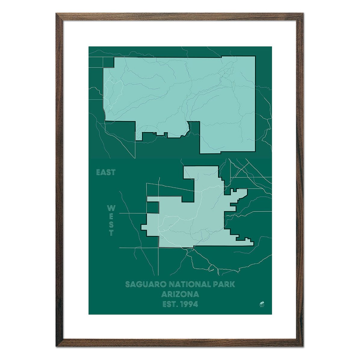
When you purchase an Arizona wall map from Muir Way, you’re getting far more than a mass-produced poster. We custom print every Arizona map using archival inks and fine art paper certified to last 100 years, and the artwork of our maps themselves is designed to enhance the beautiful terrain they feature. Our elevation maps incorporate hand-shaded relief and Digital Elevation Data with historical map artwork for a 3D effect on a 2D surface, and our hydrological maps depict every waterway--even intermittent streams--and every body of water over 0.2 miles in diameter. The meticulous craftsmanship and custom design we bring to our maps creates heirloom quality wall art to last for generations.

Can I get a framed Arizona map?

Yes! Many of our Arizona maps are available printed on fine art paper or as beautiful gallery-wrapped canvas, and all are available professionally custom-framed with real wood. For a framed Arizona map, choose from several different colors and wood finishes to perfectly match your décor. If you’d prefer to use your own frame, all of our maps come in standard frameable sizes for easy hanging and gift giving.

Why is a Muir Way map of Arizona a good gift idea?

Our custom-printed maps are popular gift choices for special holidays, anniversaries, or as farewell or thank-you gifts. Thousands of happy customer reviews reflect the quality we stand by when you purchase one of our maps as a gift. An Arizona wall map from Muir Way makes an ideal gift for adventurers who have visited the Grand Canyon, but are also a fantastic graduation gift for a student about to leave to or from Arizona for college, or for someone whose home state is Arizona but who no longer lives there. Our maps also make beautiful corporate gifts that will remind your clients or colleagues of you every time they look at their wall.

How should I display my Arizona map on the wall?

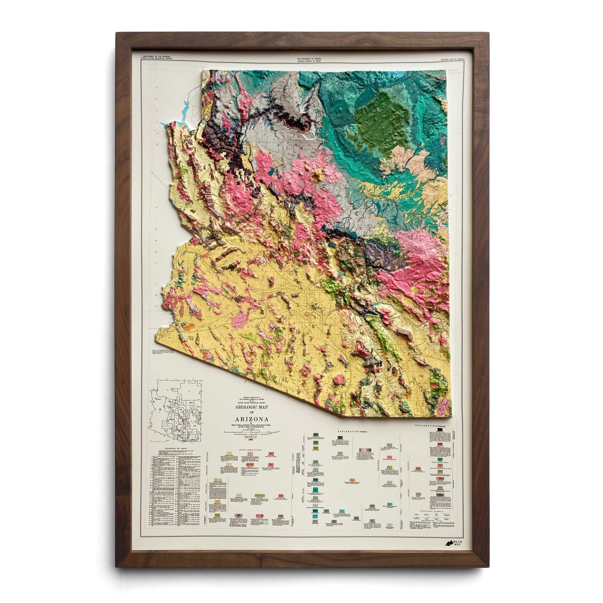
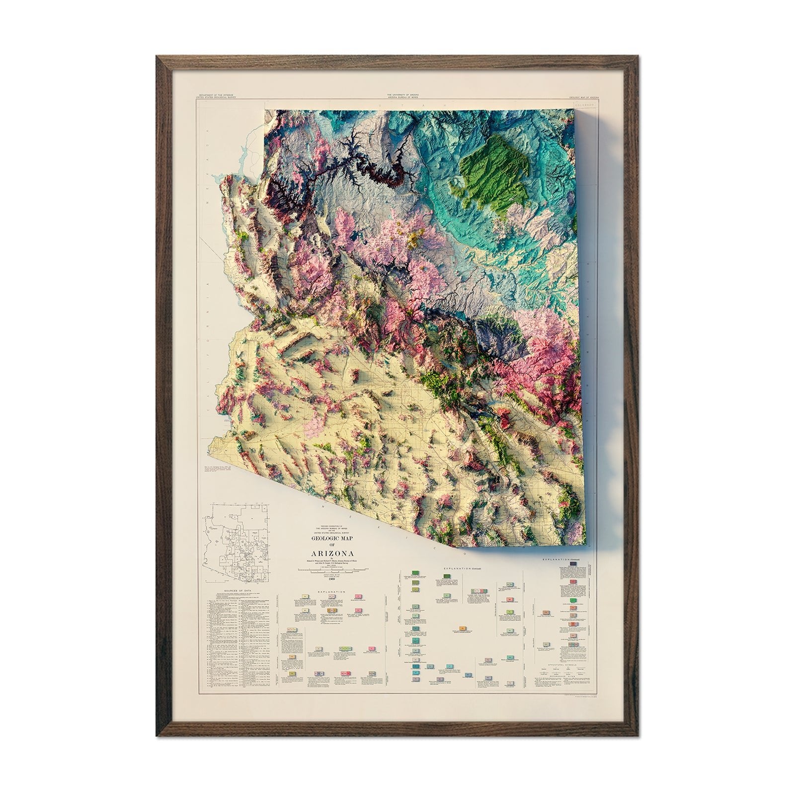
Our maps are designed to offer crisp detail and great visual effect whether viewing up close or from across the room. Hang a framed wall map at eye level, or purchase several and arrange them near each other for a complementary series. Our hydrological maps come in several colors or the quintessential black and white, and our geological relief maps feature brilliant colors. No matter which you choose, you’re sure to find an Arizona illustration that will look right at home.

What are the different types of maps of Arizona available on Muir Way?

Our Arizona maps are available in several different styles, including:

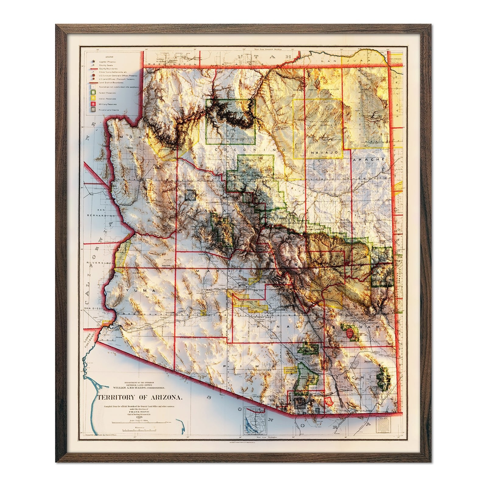
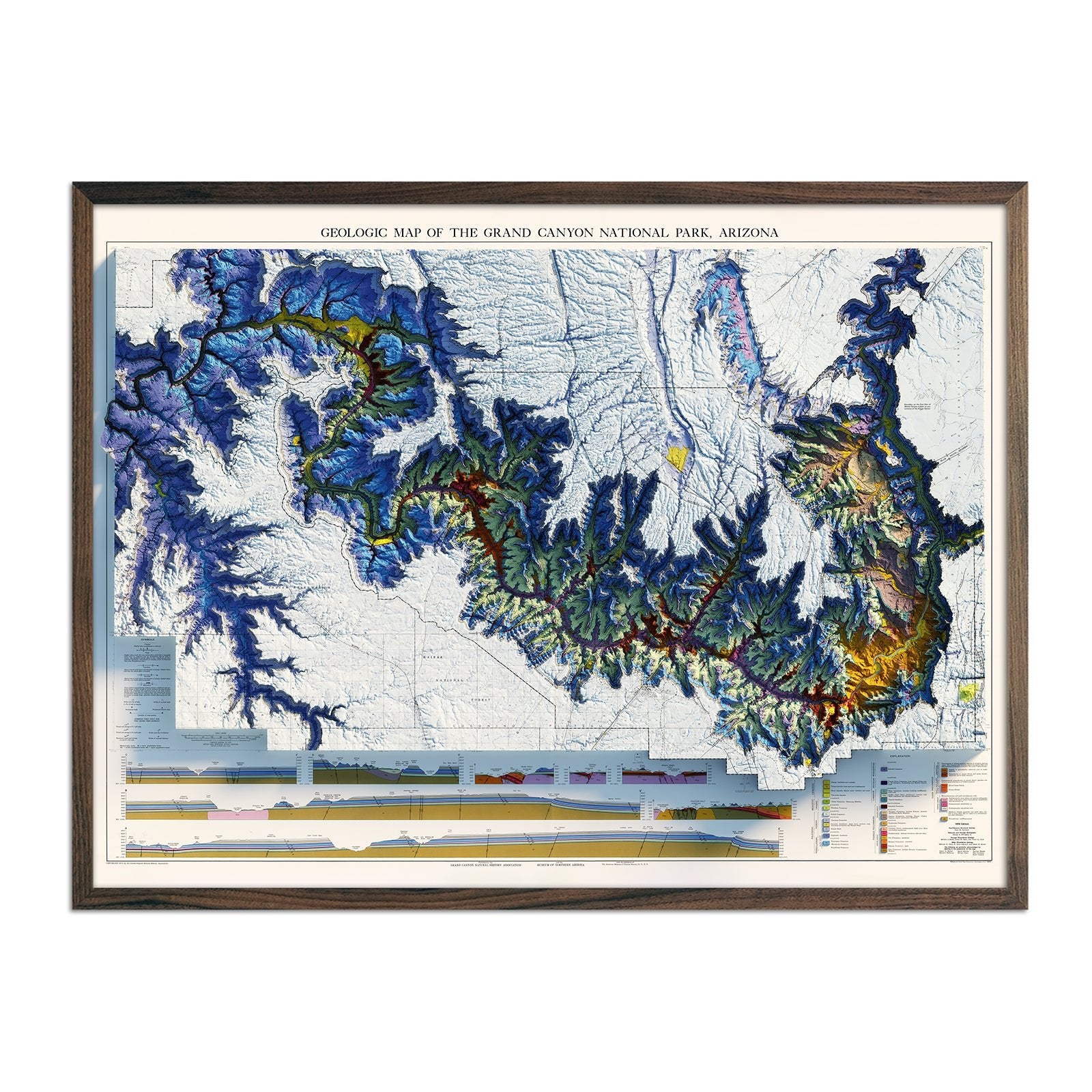
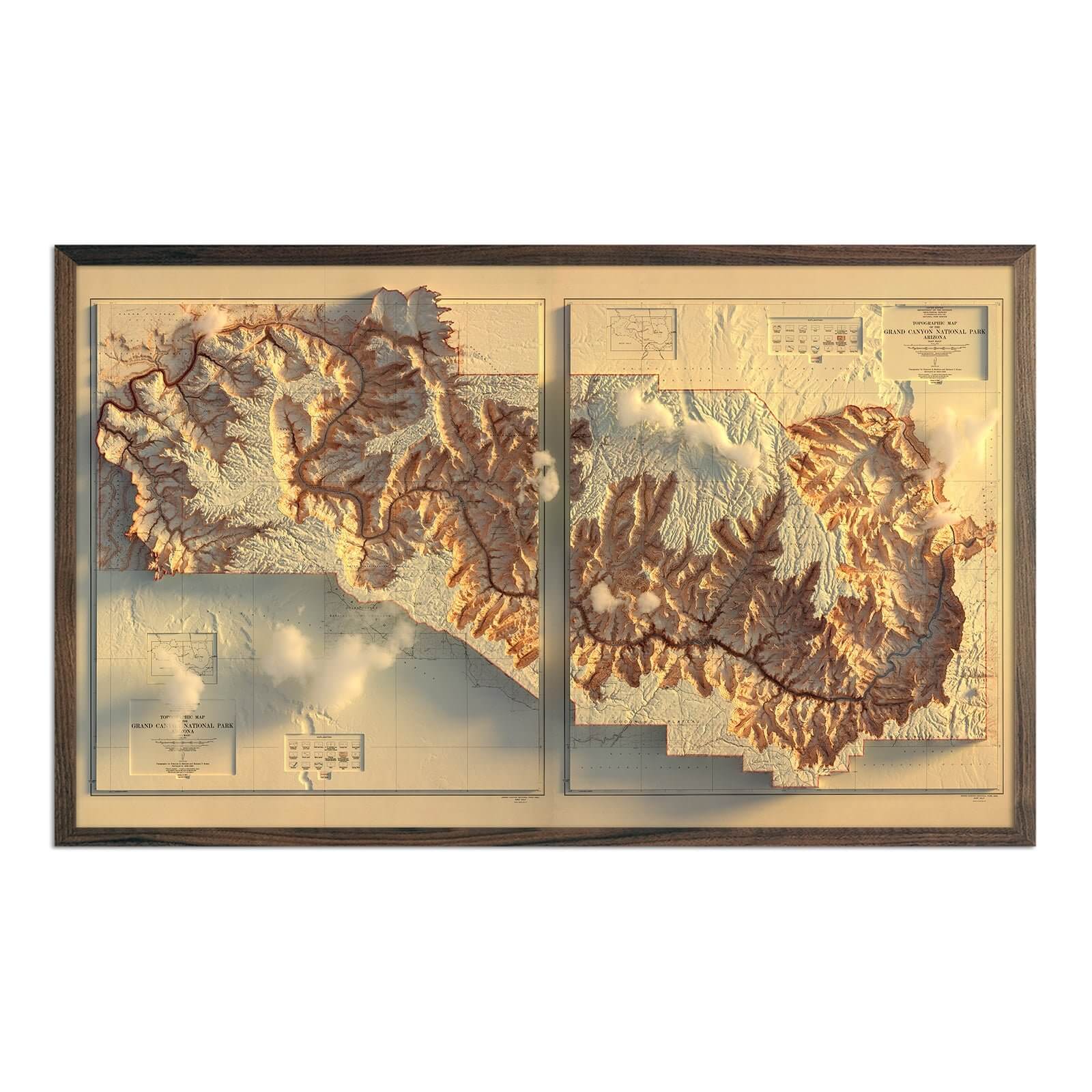
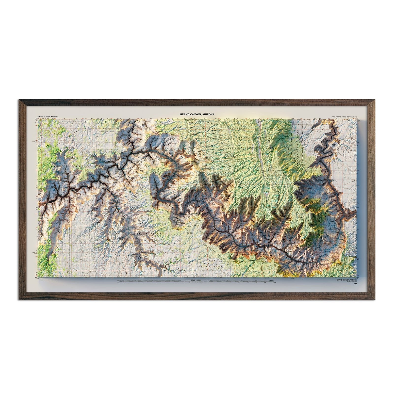
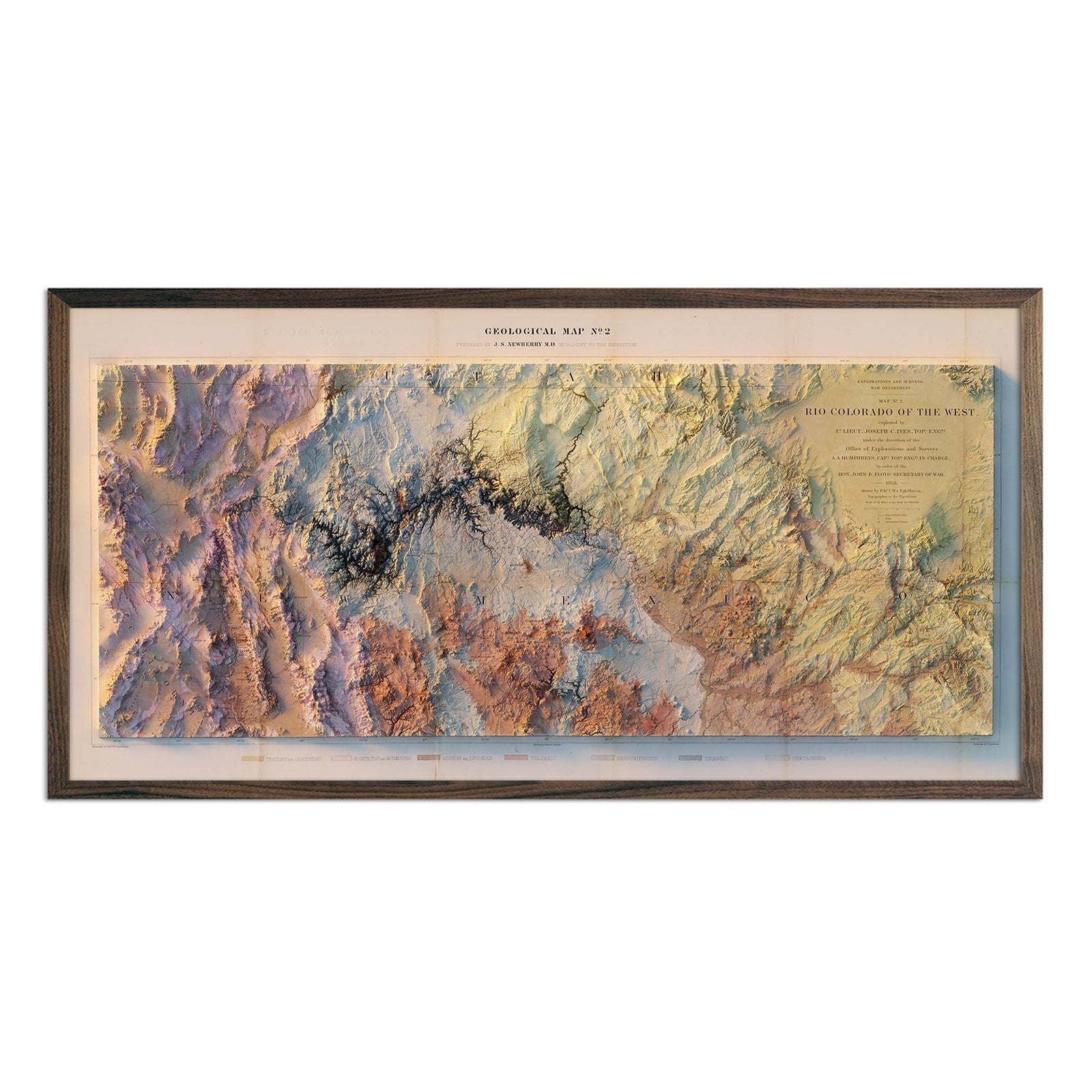
Arizona relief maps - Our relief maps of Arizona combine historical map illustrations with modern technology to showcase Arizona’s topography in an exciting new way. Using Digital Elevation Data and hand-shaded relief, we custom enhance vintage map imagery to create a striking 3D effect on a flat surface. Choose our 1903 Arizona state relief map for a comprehensive view of Arizona’s variegated terrain; or select one of our stunning Grand Canyon relief maps or our beautiful multicolored Colorado River relief map for a detailed view.

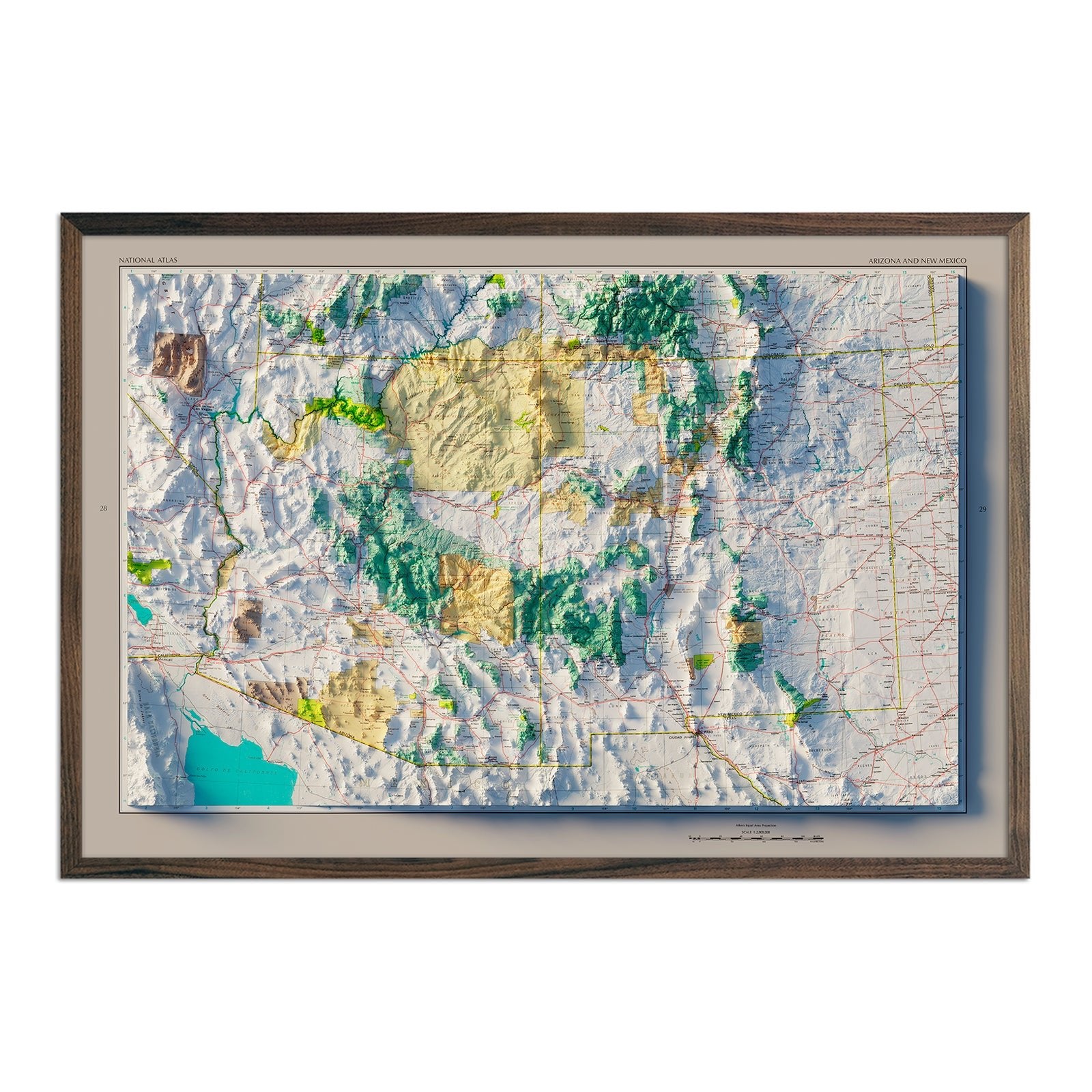
Arizona elevation maps - Our state of Arizona elevation map also uses Digital Elevation Data from the USGS to create a high-contrast 3-dimensional effect in stunning black and white, providing crisp detail and a refreshing view of Arizona’s mountainous geography.

Arizona hydrological maps - Our hydrology maps of Arizona’s waterways deliver meticulous detail and are available in multiple colors. Whether following the interconnected trails of water on our Arizona state hydrology map or one of our regional hydrology maps that include Arizona, you’ll be able to view every single river and intermittent stream, as well as all bodies of water greater than 0.2 mi in diameter. What makes our hydrology maps unique? We apply a method called the Strahler Stream Order to show the hierarchy of streams as they flow from their source, with rivers shown thicker as they acquire the flow of tributaries.

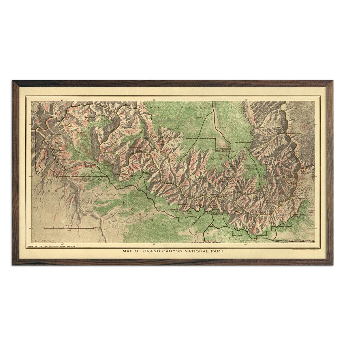
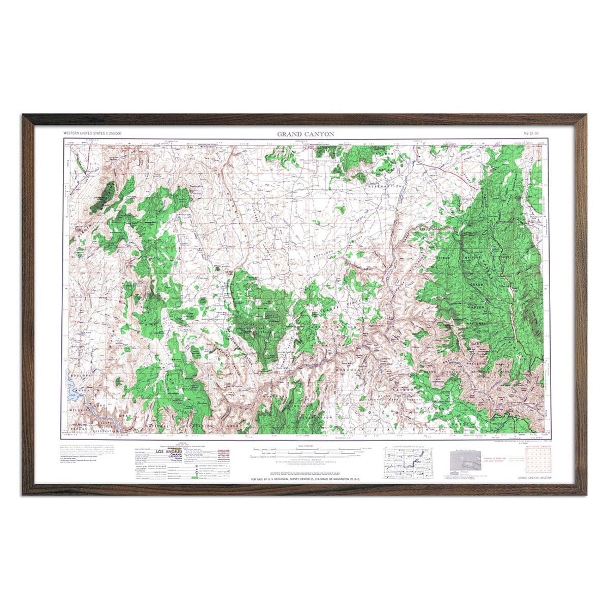
Vintage Grand Canyon National Park Maps - If you like vintage maps, you’ll love our maps of Arizona’s Grand Canyon National Park. Our vintage Arizona national park maps are reproduction prints, carefully restored to maintain their vintage charm without the wear & tear. View our 1960 USGS Grand Canyon National Park map, and our 1926 Grand Canyon National Park map.

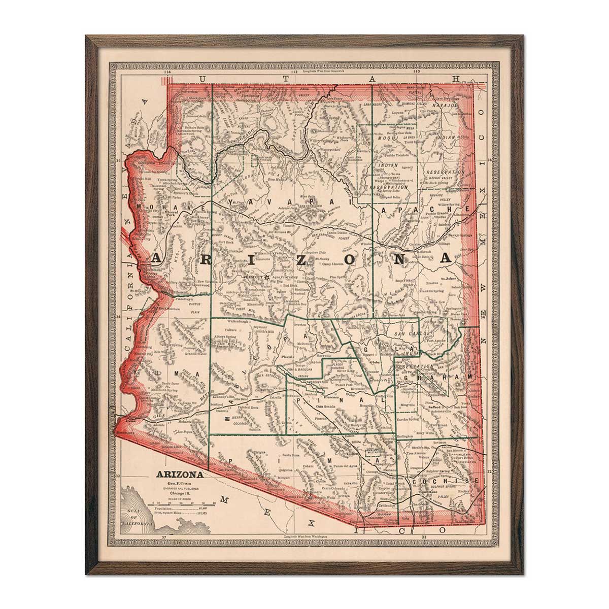
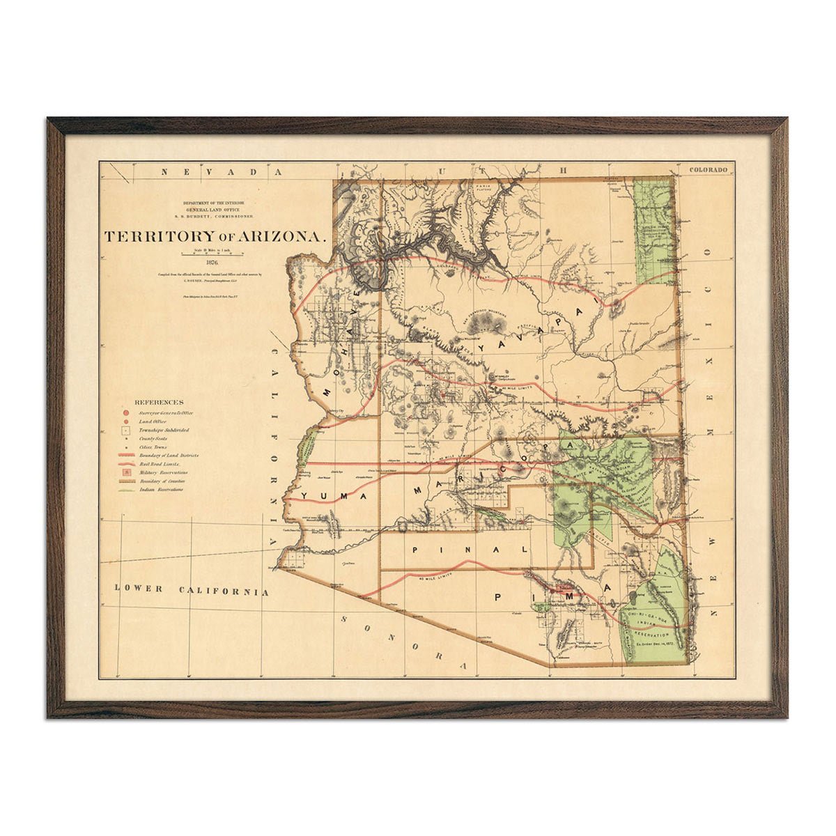
Vintage Arizona State Maps - Just like our vintage national park maps, our vintage Arizona state maps are lovingly restored and come custom-printed and ready to hang. See our Arizona Territory 1876 map, and our 1883 Arizona map for a slice of Southwestern history.

What are some prominent features on the map of Arizona?

As the US’s youngest contiguous state, Arizona has a diverse landscape, from its arid deserts to coniferous forests, mountains, and of course, the Grand Canyon. Our elevation and relief maps of Arizona show Arizona’s mountains and canyons in full detail.

Arizona is also rich in Native American heritage. Our vintage Arizona territory map shows the different Native land Arizona sits upon, including the Mohave, Yavapai, Pima, Apache, Cochise and more.

No matter which Arizona state map you choose, you’ll enjoy an up-close look at a state known for its stunning geography, hot, dry weather and delicious food.

What are the regions in Arizona?

Arizona is divided into three major geographical regions:

  • The Colorado Plateau - encompassing the northern ⅖ of Arizona, the Colorado Plateau is mostly flat land punctuated with frosty mountain peaks and deep canyons. As its name suggests, the Colorado River runs through this region and is responsible for carving one of the seven wonders of the world that Arizona is so famous for - the Grand Canyon. The Grand Canyon isn’t the only canyon in Arizona, however! Other Colorado River-carved canyons include Oak Creek Canyon, Canyon de Chelly. The Colorado Plateau region is also home to Arizona’s iconic plateaus, the highest elevation in the state. Other notable landmarks in this region include Black Mesa, the Painted Desert and the Petrified Forest.
  • The Transition Zone - sandwiched between the Colorado Plateau and the Basin and Ridge Region is the Transition Zone, home to rugged mountains and beautiful valleys, as well as Salt River Canyon.
  • The Basin and Ridge Region - Arizona’s southernmost region swoops across the southern portion of the state and shares a small western border with California. Geographically, this region features mountain ranges and fertile valleys that support growth of crops like cotton, corn, and citrus fruits when weather patterns allow.

If you like our collection of Arizona maps, you may also be interested in maps of other Southwest states. Click below to browse:

Subscribe