


Florida Hydrological & Everglades Map Prints
Our custom printed Florida wall maps will bring a piece of history and the spirit of the Sunshine State to your home or office. From our eye-catching elevation maps and geological relief maps to our meticulously restored historical maps, every map of Florida we offer reflects the high quality and attention to detail our customers have come to love and expect from Muir Way.
What makes Muir Way maps of Florida unique?
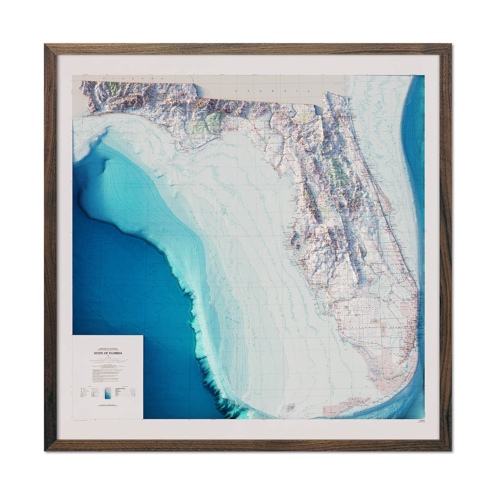
When you purchase a Florida wall map from Muir Way, you get a custom-printed archival piece of art designed to last for generations. Unlike a glossy mass-produced poster, our maps are certified to last 100 years, and our map artwork is designed to bring new light to the beautiful terrain it features. Our elevation maps incorporate hand-shaded relief and Digital Elevation Data with historical map data, creating a unique 3D effect on a flat surface, and our hydrological maps depict every river and stream in crisp detail. The meticulous craftsmanship and design we bring to our Florida maps creates heirloom quality artwork we’re proud of.
Does my Florida map come framed?
It can! Our Florida maps are available professionally custom-framed with real wood, or unframed if you prefer to use your own. If you’d like to purchase a framed Florida wall map, several different wood colors and finishes are available to choose from. If you’d prefer to use your own frame, all of our maps come in standard sizes for easy gift giving.
Does a Muir Way map of Florida make a good gift?
Yes! Our custom-printed maps of Florida make the perfect gift for anniversaries, weddings, college graduations, holidays, or as a thank-you gift for someone special. Perhaps your family loves to vacation in Disney World, or you have special memories in the Florida Keys. A Florida map is a great gift for “snow birds” who spend the cooler months on the panhandle and return up north in the summer. Our maps also make beautiful corporate gifts that will remind your clients or colleagues of you every time they see it.
Where should I display my Florida map?
Our maps are eye-catching from across the room and up close. Hang a framed wall map as a central focus, or purchase several maps in a similar style or from a particular region and arrange them near each other for a complementary series. No matter which you choose, you’re sure to find a map that will look right at home.
What are the different types of maps of Florida available on Muir Way?
Our Florida maps are available in several different styles, including:
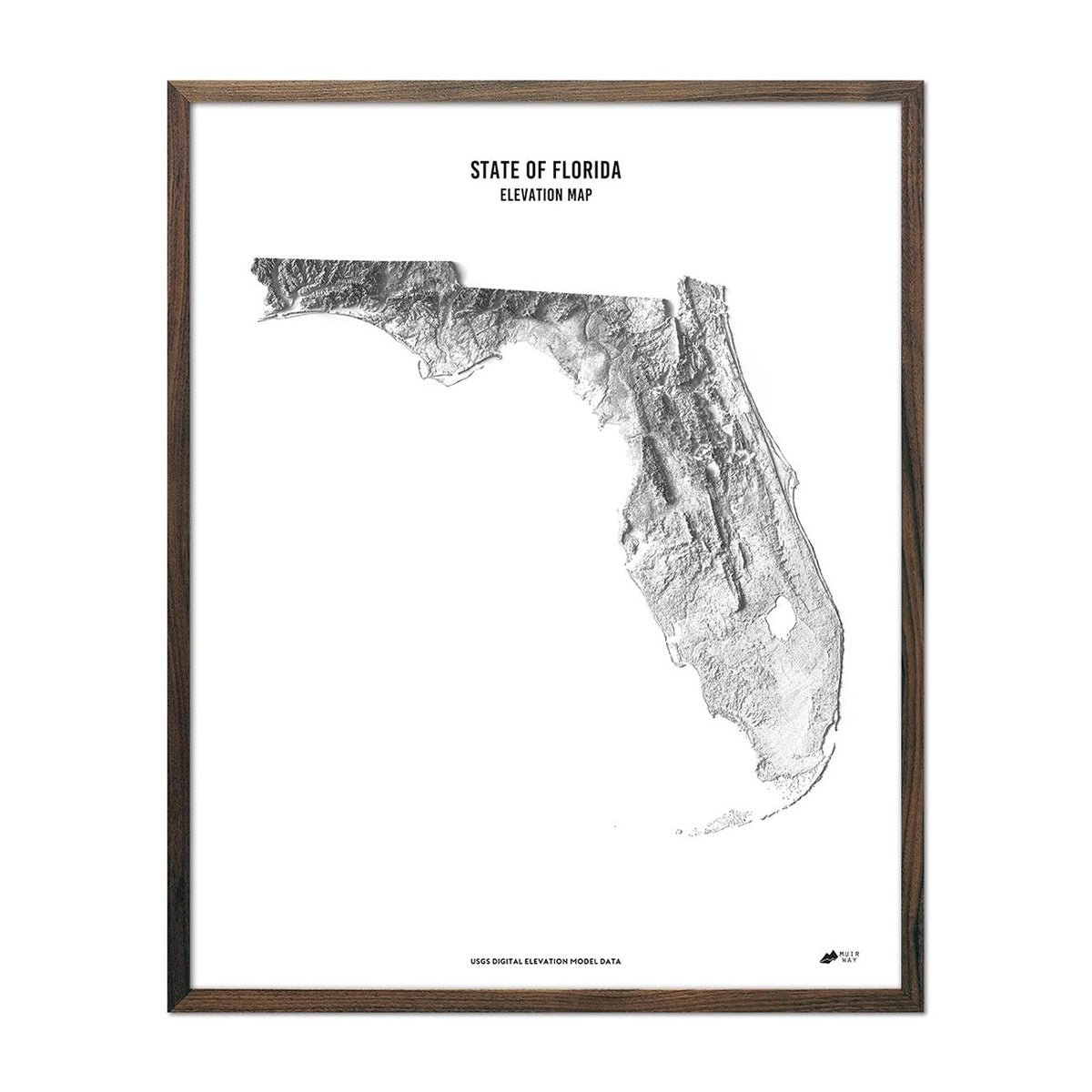
Florida elevation maps - Our state of Florida elevation map uses Digital Elevation Data from the USGS and hand-shaded relief to create a high-contrast 3-dimensional effect in stunning black and white.
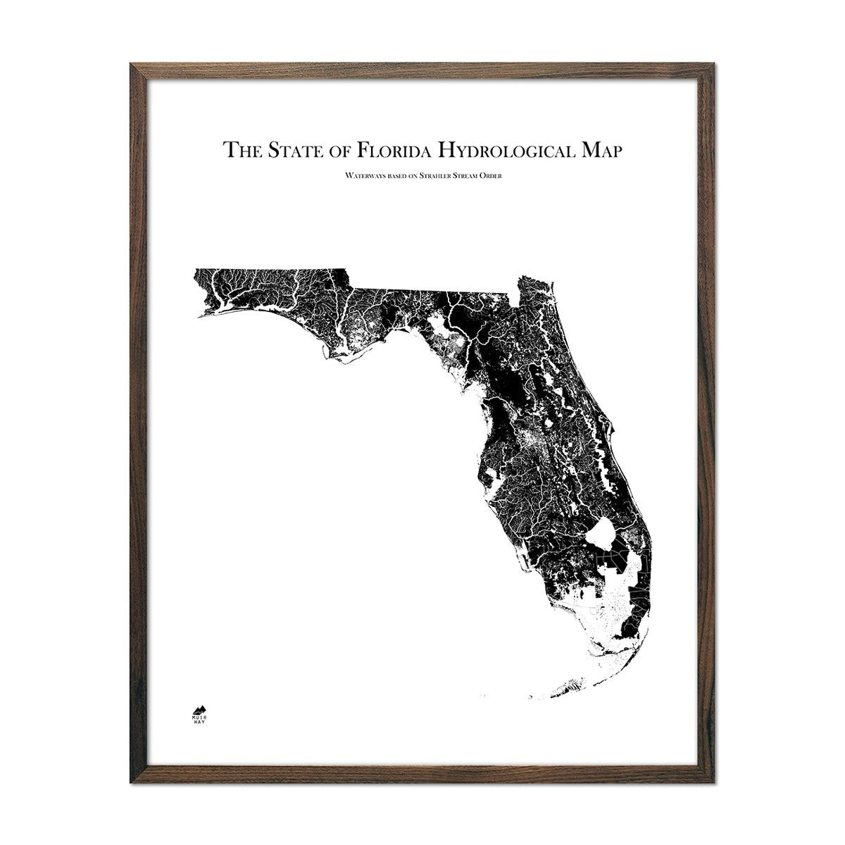
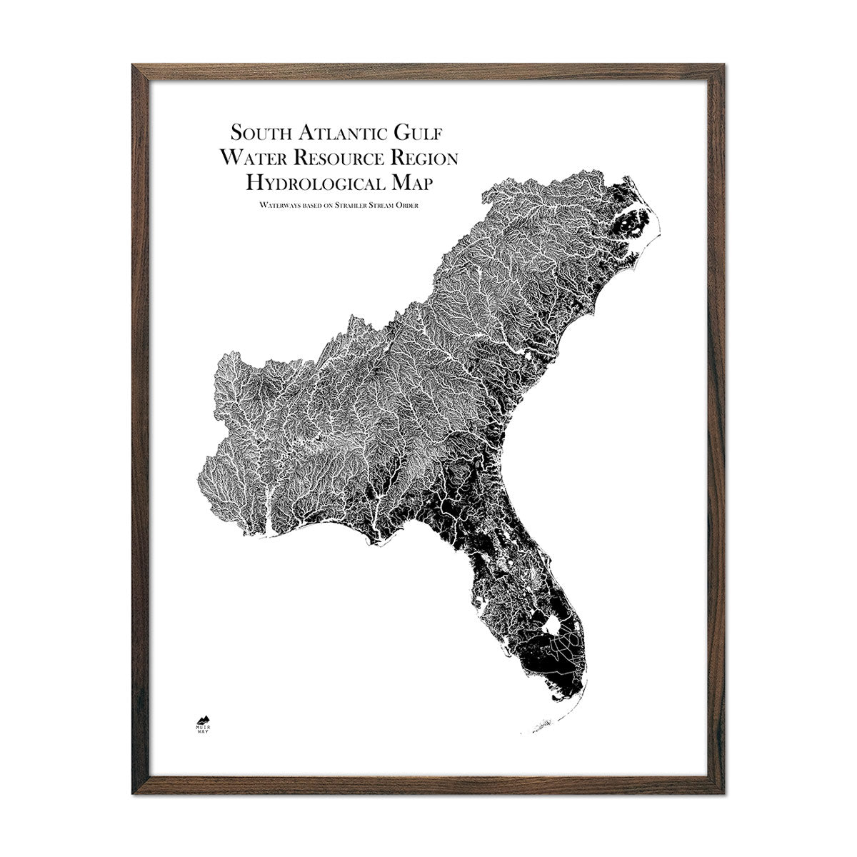
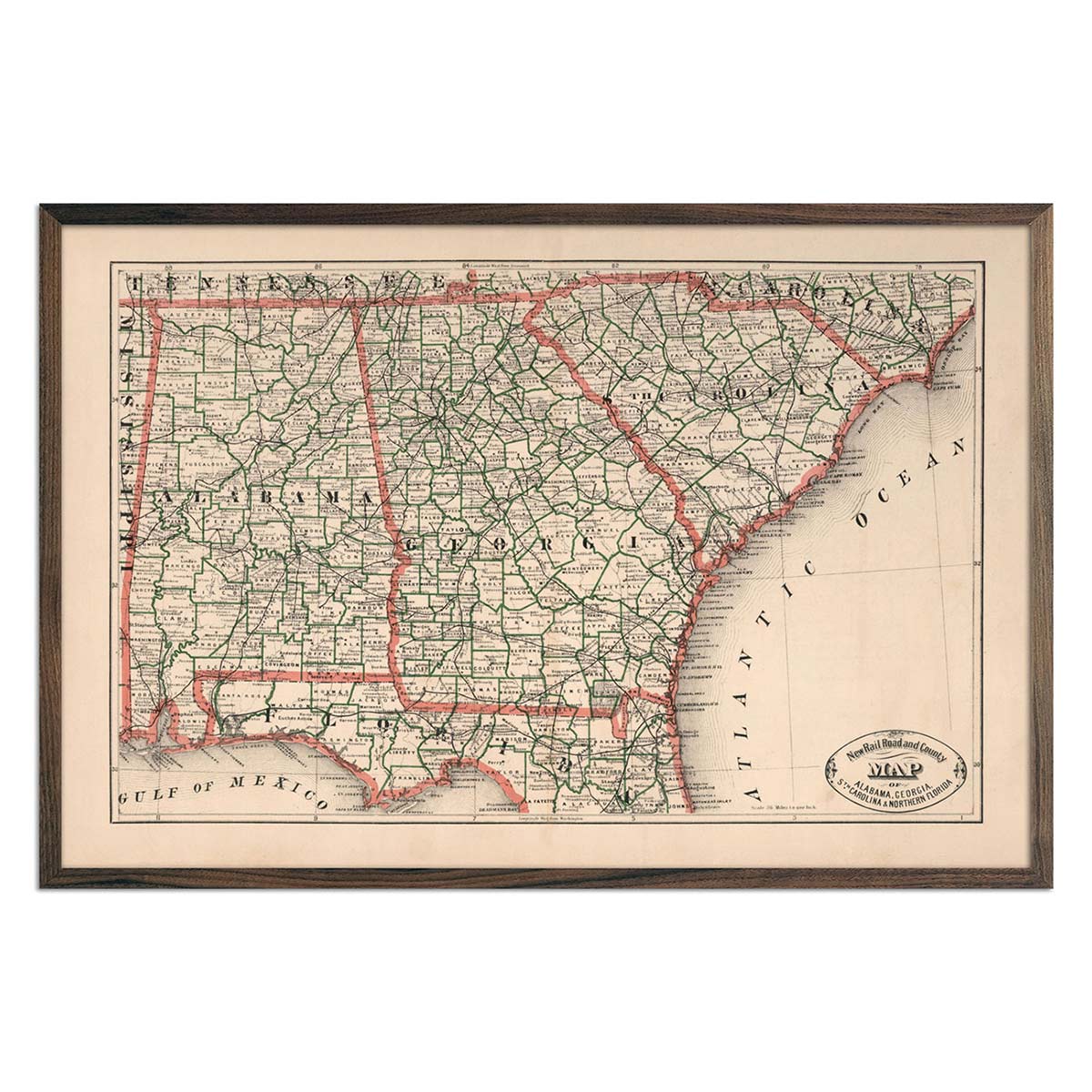
Florida hydrological maps - Florida is loaded with bodies of water and wetlands, from rivers and lakes to the famous Florida Everglades. Our hydrological maps showcase the intricate network of waterways, from the widest river to the smallest tributaries. Trace rivers and lakes on our Florida hydrological map and you’ll see every single river and intermittent stream, as well as all bodies of water greater than 0.2 mi in diameter. What makes our hydrological maps even more special? We apply a method called the Strahler Stream Order to show the hierarchy of streams as they flow from their source, with rivers shown thicker as they acquire the flow of tributaries. Map available in black, blue, or green. Want to see the ‘big picture’? See our South Atlantic-Gulf regional hydrological map for Florida and its neighboring states.
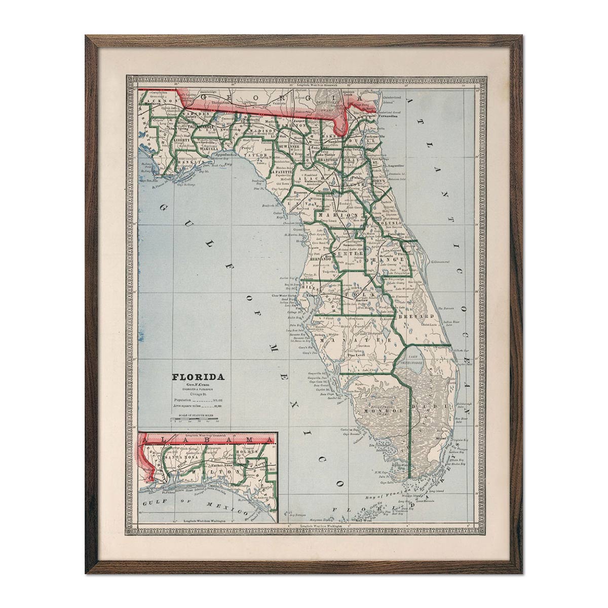
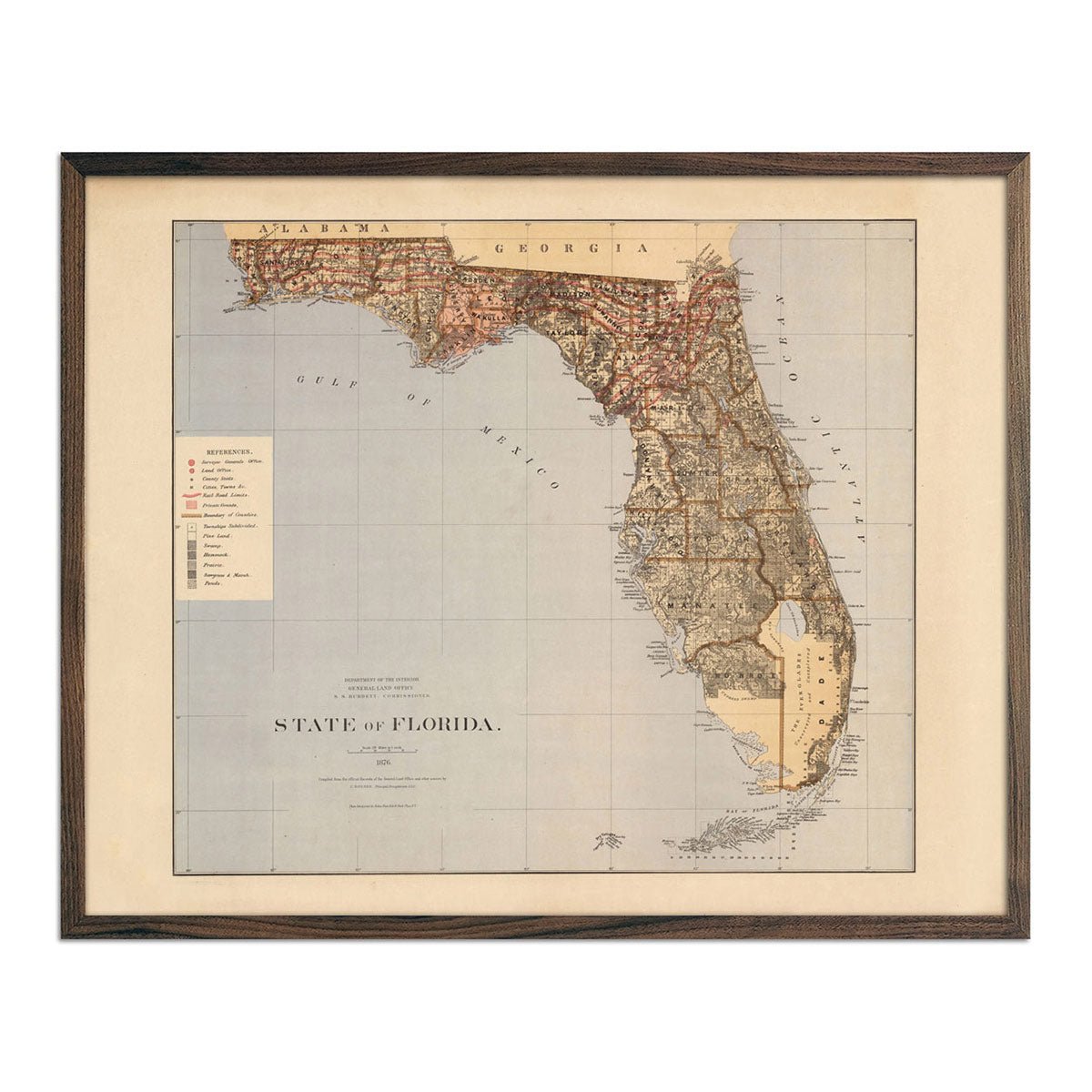
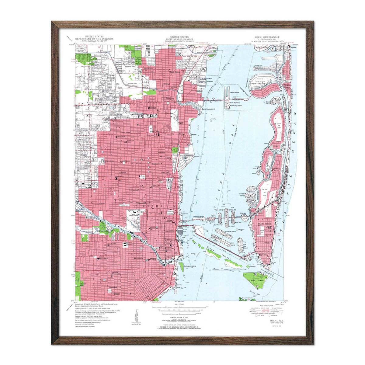
Enhanced vintage Florida maps - If you like the history and charm of vintage maps, you’ll love our 1883 map of Florida and our 1950 map of Miami. Unlike our elevation maps, Muir Way historical maps don’t feature enhanced elevation effects, but they do feature a record of history beautifully restored to retain its vintage charm without the wear & tear. Our vintage Florida maps are custom printed just like our other maps using archival materials.
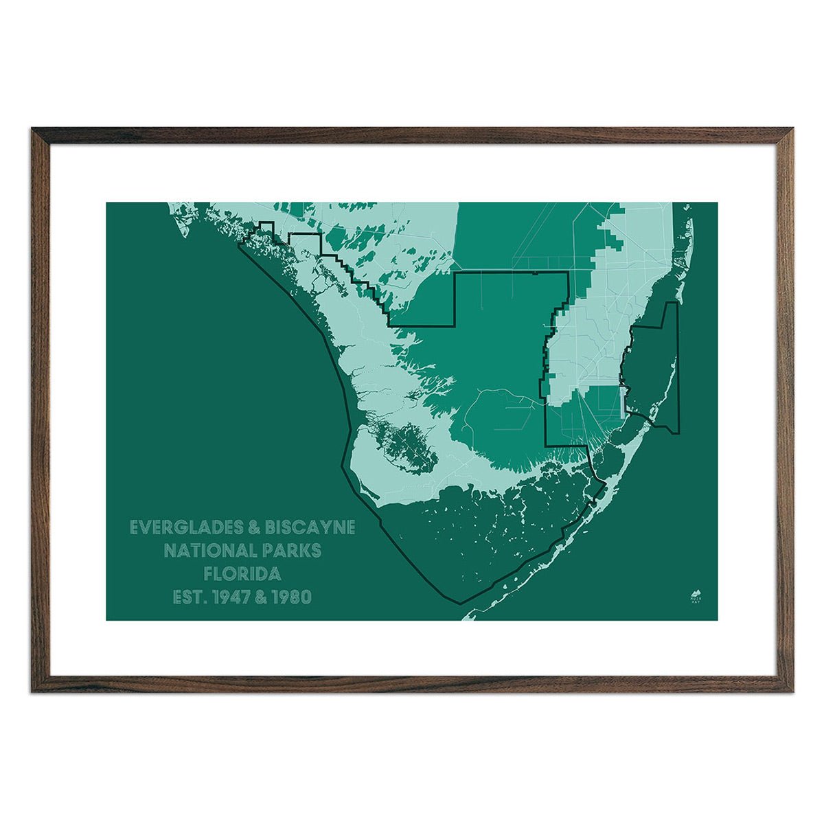
Florida National Parks maps - Florida is home to the beautiful Everglades and Biscayne National Park. See both on our Florida National Park map.
What are some prominent features on the map of Florida?
Florida is the third wettest state in the United States (behind Alaska and Michigan), with 11,761 square miles of its 65,758 square miles covered by water, including prominent lakes like Lake George and rivers like the St. Johns River. Florida is also surrounded by water on three sides, with the Atlantic Ocean to the south and east, and the Gulf of Mexico to the west.
Florida is also a very flat state with elevations very close to sea level. Florida’s highest point is Britton Hill located in Walton County and is only 345 feet above sea level. Florida’s lowest point is sea level where the coastline meets the ocean and the gulf waters.
What are the regions in Florida?
Florida has three main geographical regions:
- Atlantic Coastal Plain - The Atlantic Coastal Plain extends over 2,200 miles from Cape Cod in Massachusetts to the Gulf of Mexico on the Mexican border, and covers the entire eastern part of Florida. Southern Florida’s portion of the Atlantic Coastal Plain includes the Big Cypress Swamp and the Florida Everglades, as well as the Florida Keys.
- East Gulf Coastal Plain - A sub-section of the Atlantic Coastal Plain, this region of Florida appears in two sections of Florida divided by part of the Florida Uplands. Similar to the Atlantic Coastal Plain, the East Gulf Coastal Plain runs along the western side of Florida and includes swamp lands, parts of the Everglades and Big Cypress Swamp and barrier islands.
- Florida Uplands - The Florida Uplands extend 275 miles west to east along the northwestern corner of the state. Unlike its more water-saturated counterparts, the Florida Uplands contains rolling hills of red clay and is thick with hard and softwood forests.
If you like our collection of Florida maps, you may also be interested in maps of other Southeast states. Click below to browse:
