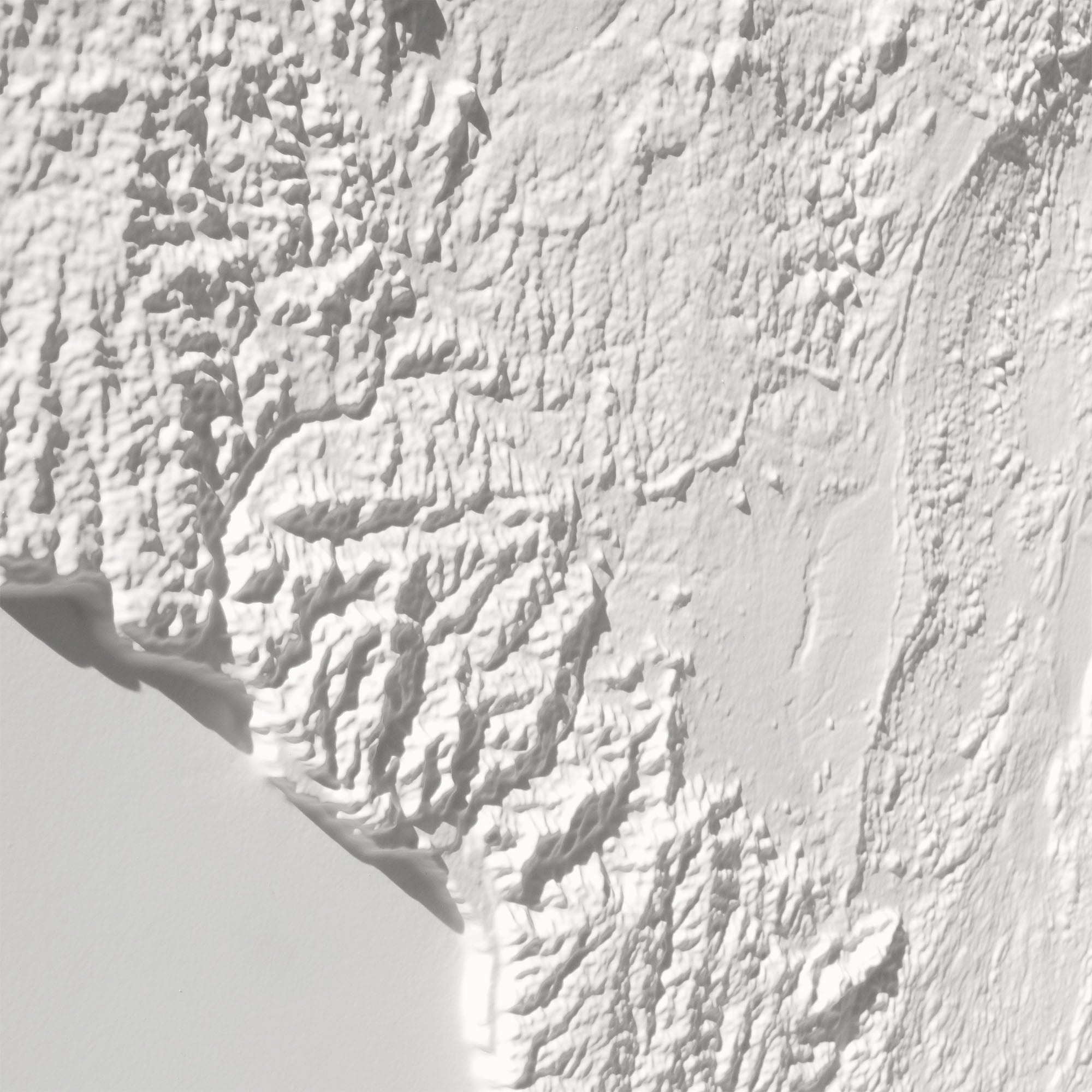
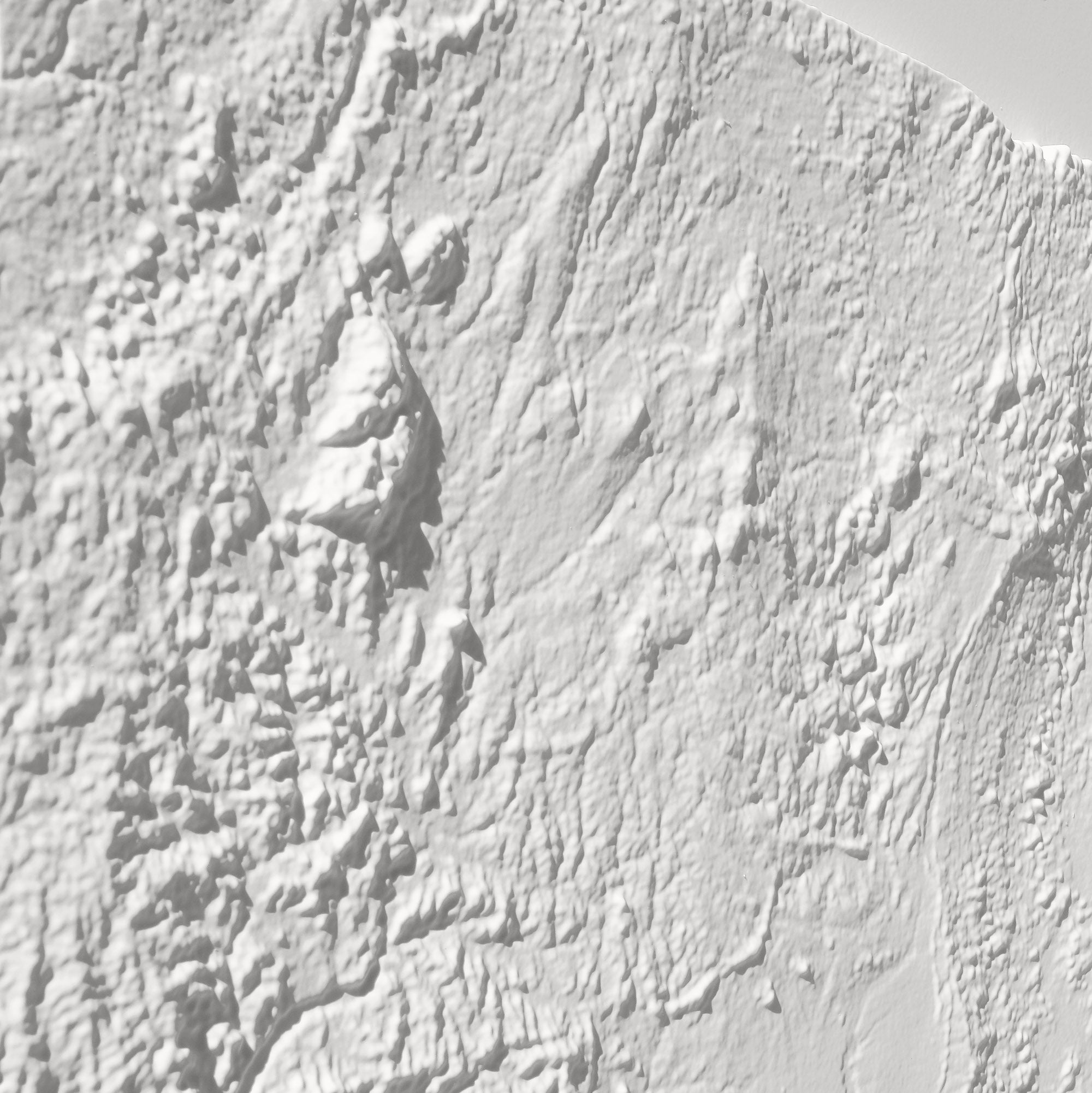
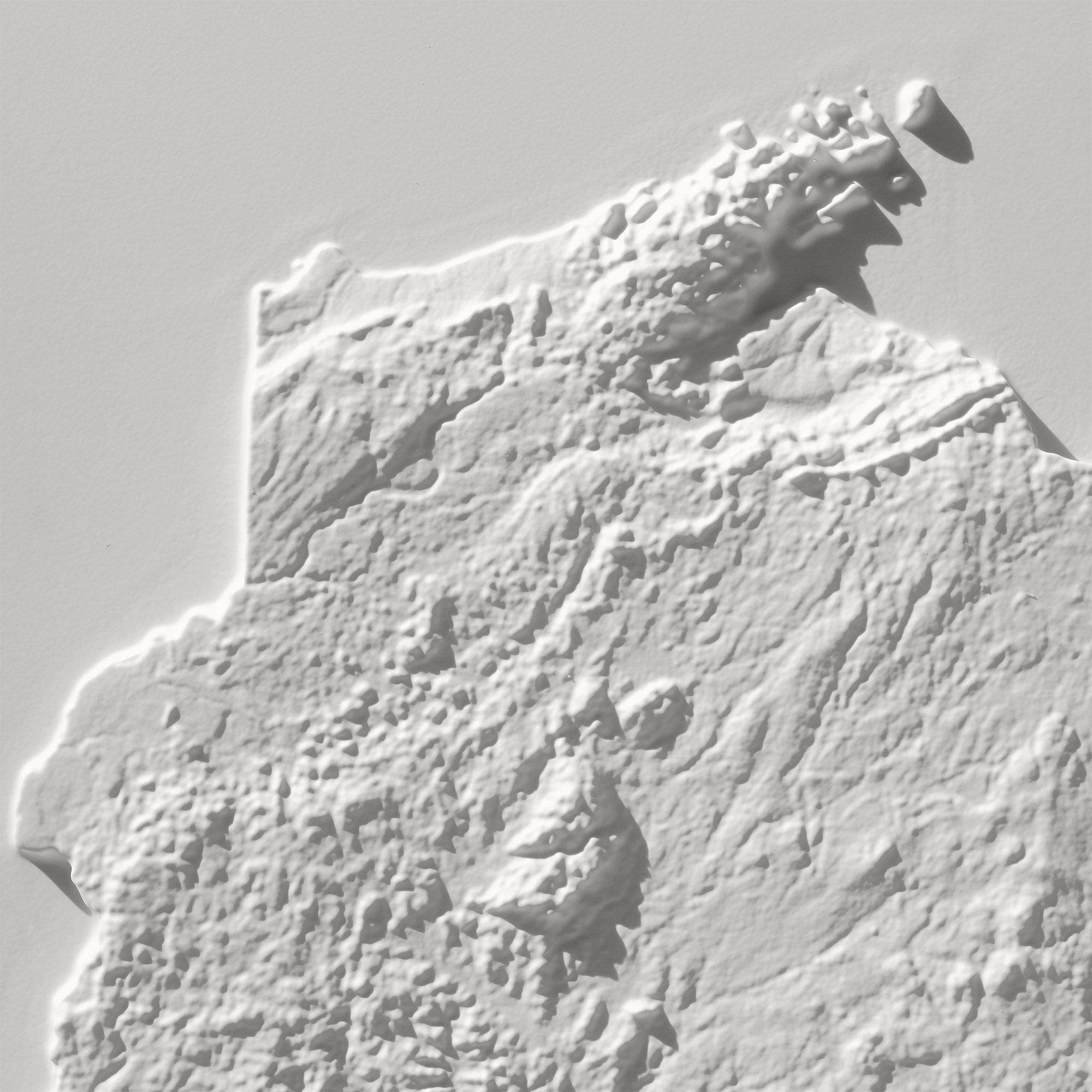
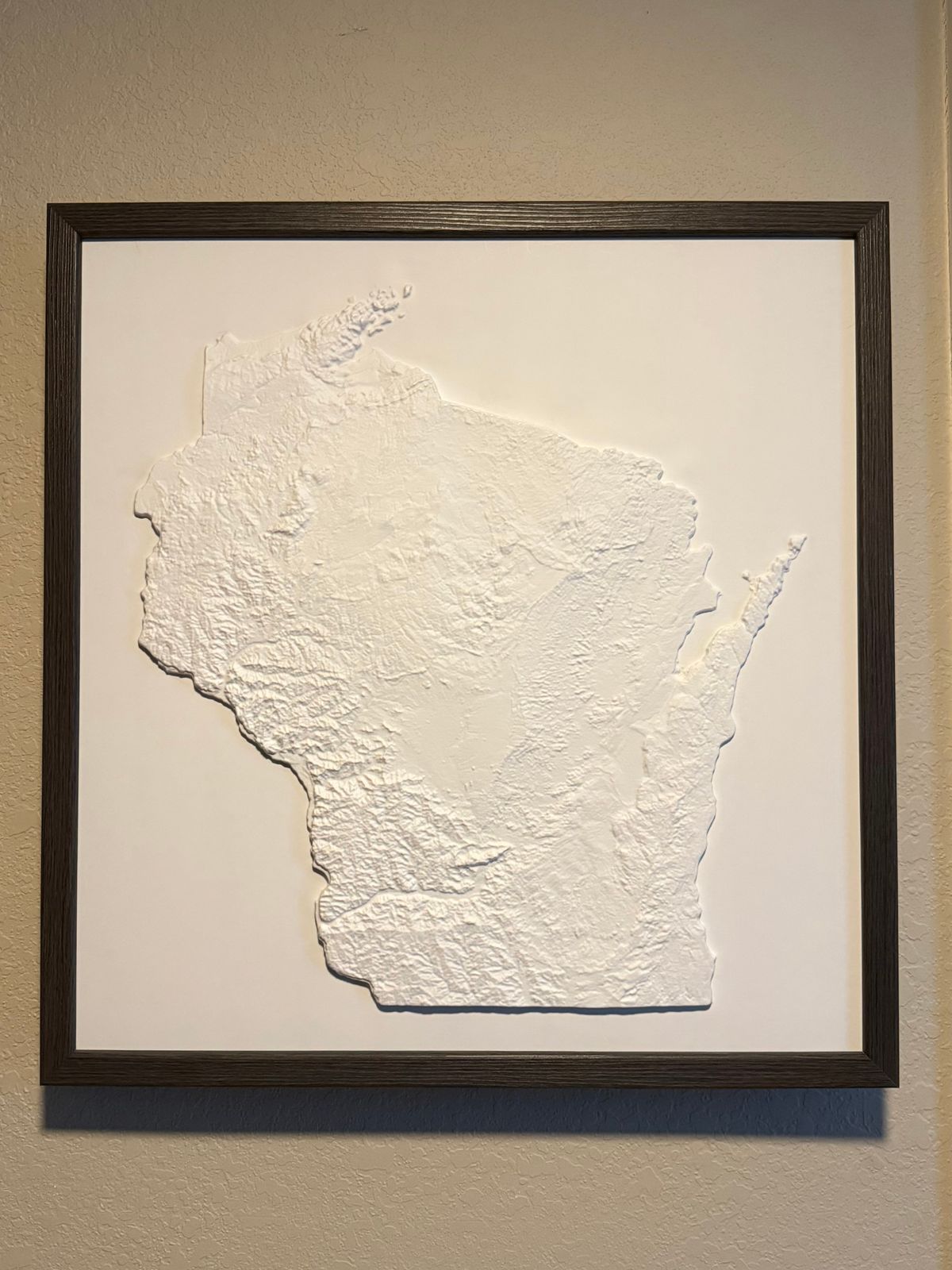
A Muir Way original, our 3D Raised Relief Map of Wisconsin brings the state's understated topography to life — from Timms Hill, the state's highest point at 1,951.5 feet, up in the Northern Highland, down through the Apostle Islands along Lake Superior, to the Driftless Area in the southwest, a region the last ice age's glaciers never touched, leaving a landscape of valleys and ridges found nowhere else in the Midwest.
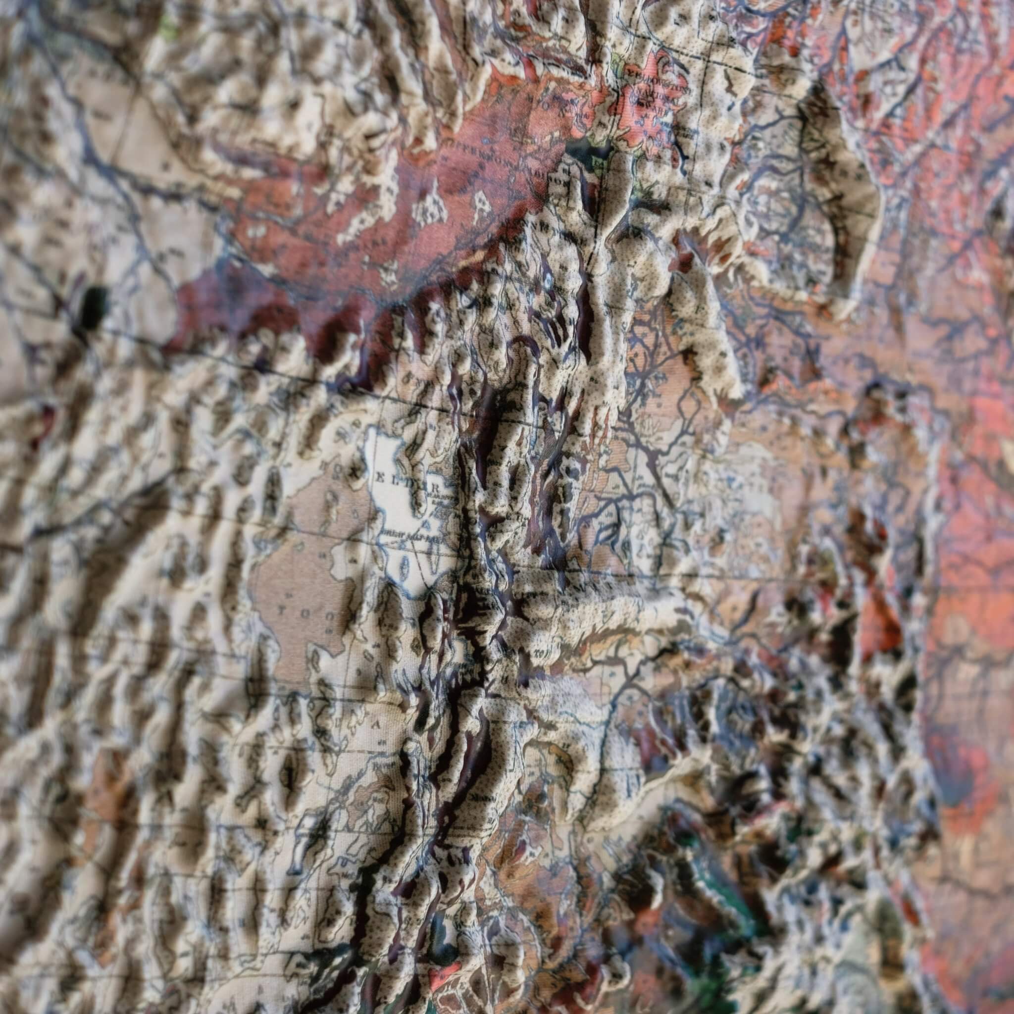
Formed by heating durable plastic and vacuum-forming it over a precisely sculpted 3D mold built from modern digital elevation data, this map lets you see — and feel — Wisconsin's terrain in a way no flat print can match.
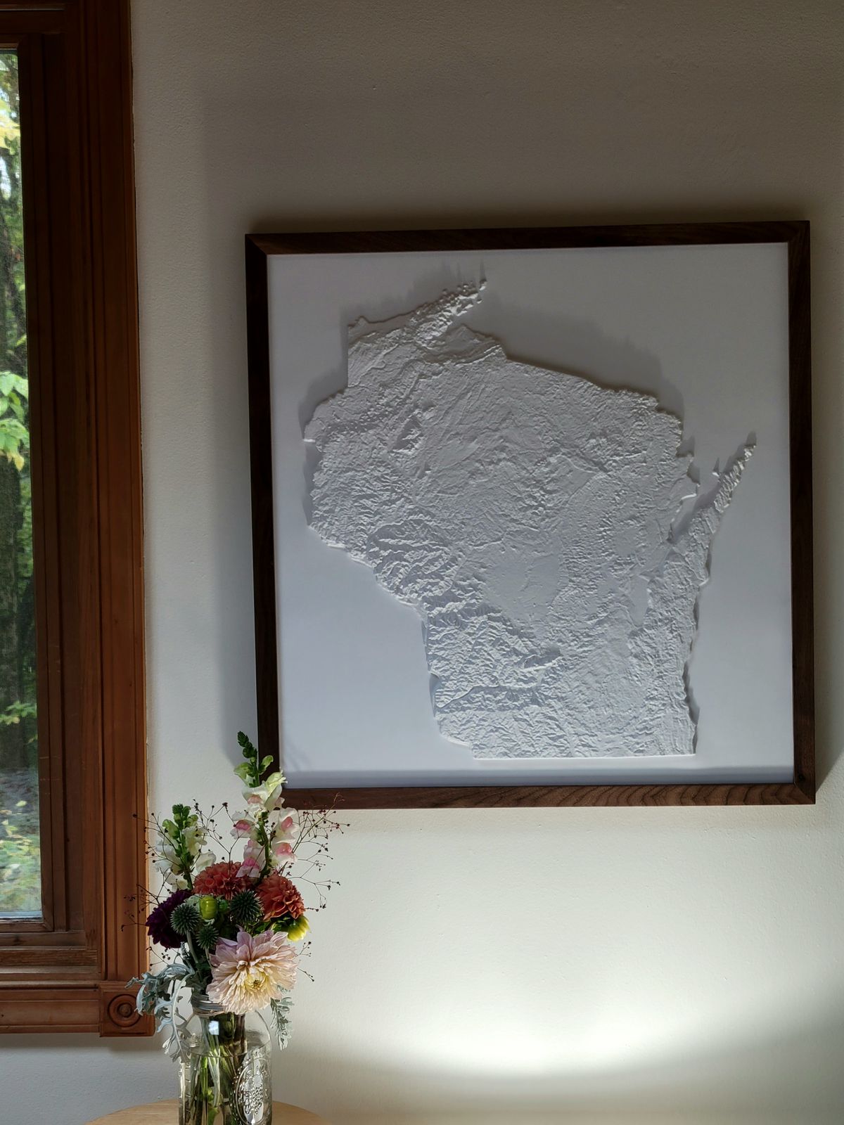
Simplicity at its finest, the map is left completely white with no print or text, the better to highlight the complexity of the terrain itself. It's best viewed near a light or window that can shine across it at an angle — the lower and more angled the light, the deeper the shadows and the more dramatic the terrain appears.
Framed versions skip the glass or acrylic entirely, so you can run your hands over the landscape and explore its texture firsthand.
- Size - unframed 24x25 inches
- Size - framed 25x26 inches
- White plastic mounted on foamboard
- Handmade real Walnut frame available
- Individually made in our San Diego, CA shop