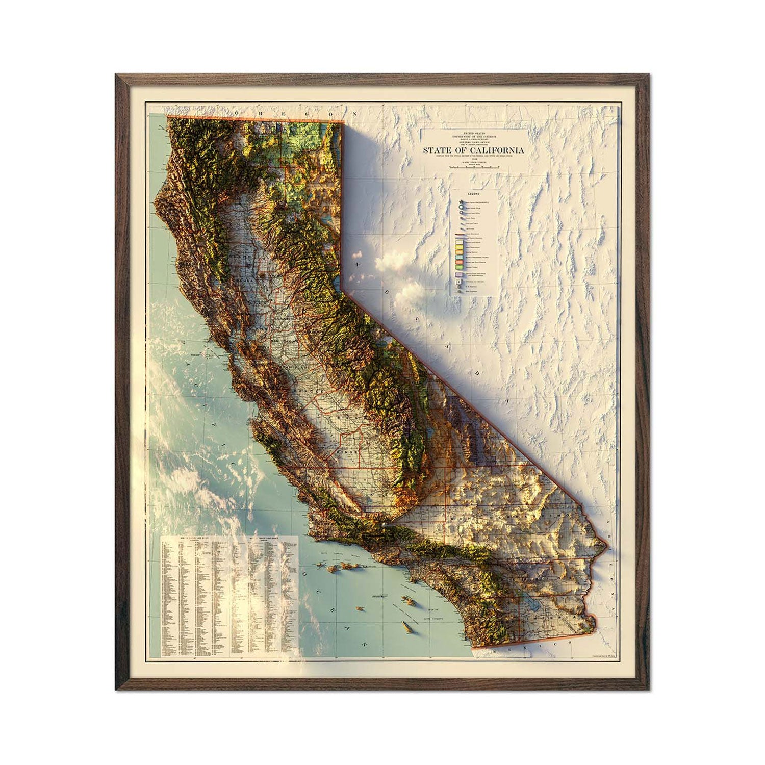
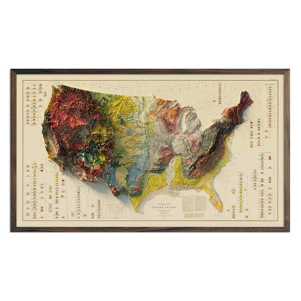
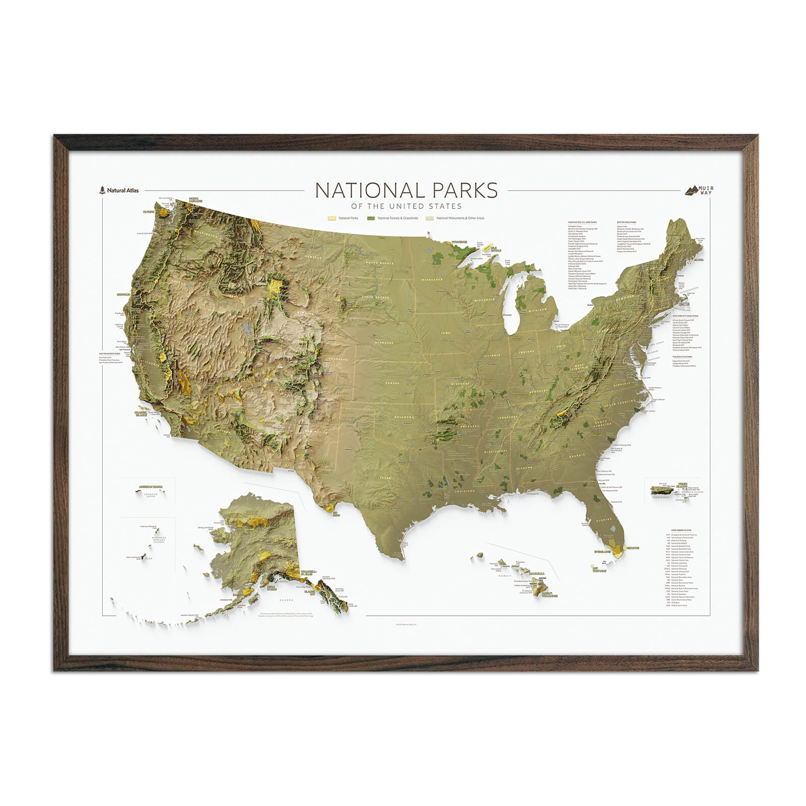
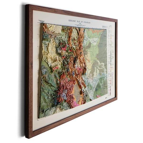
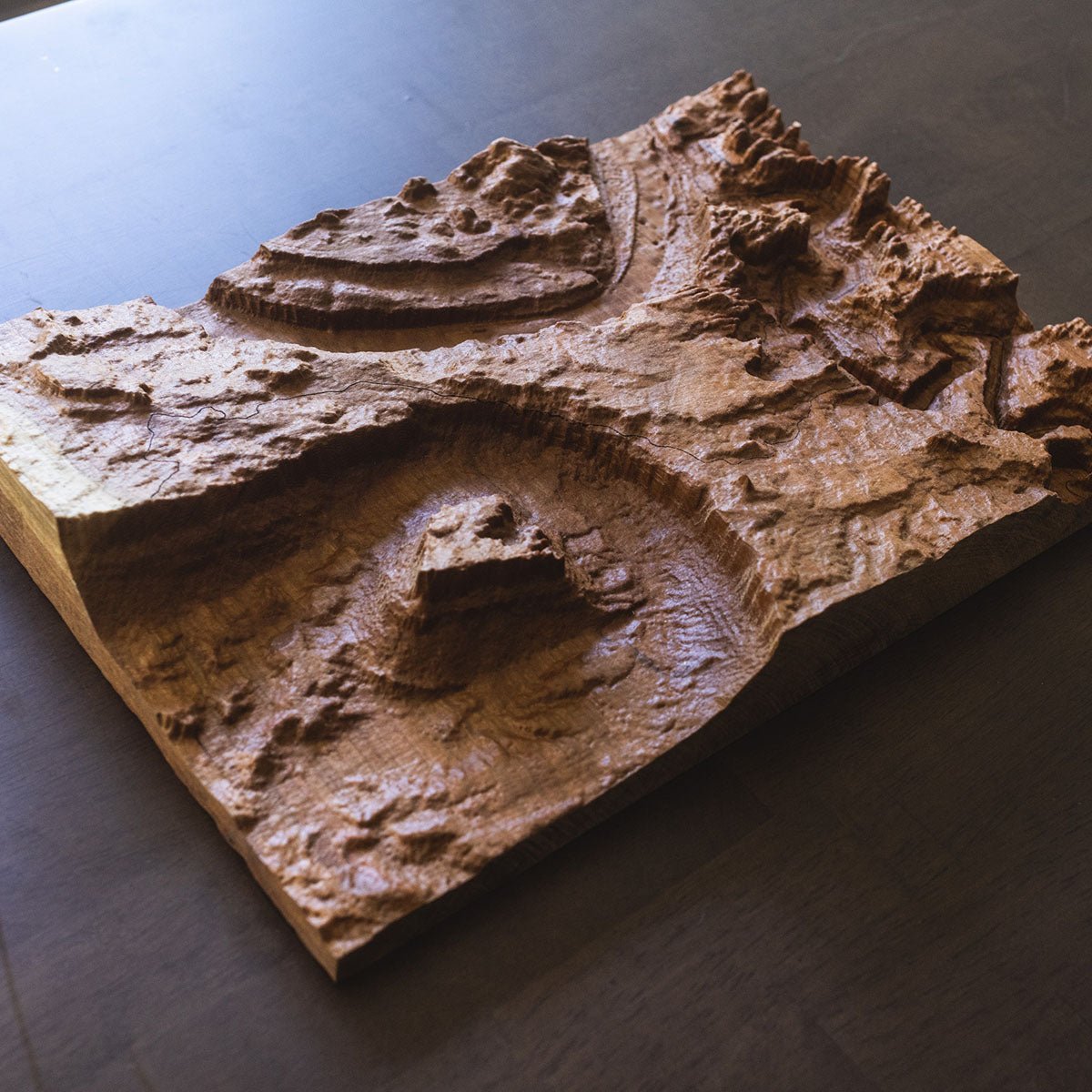
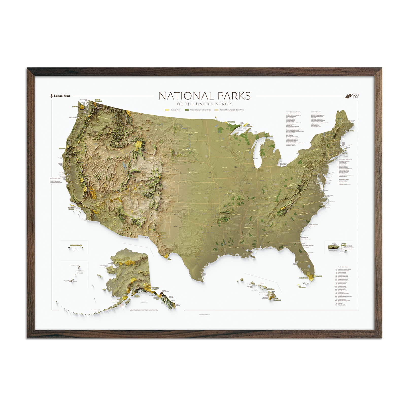
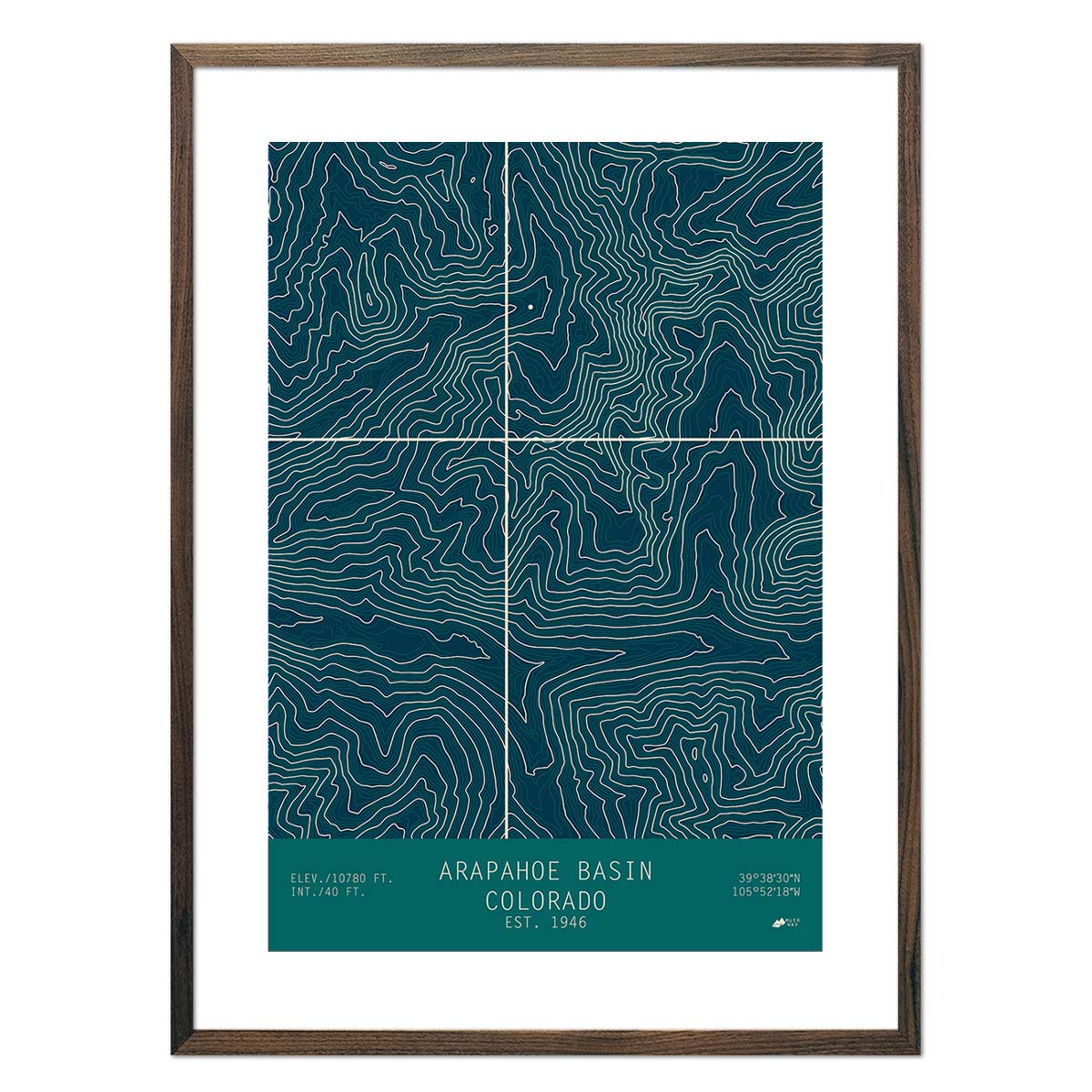
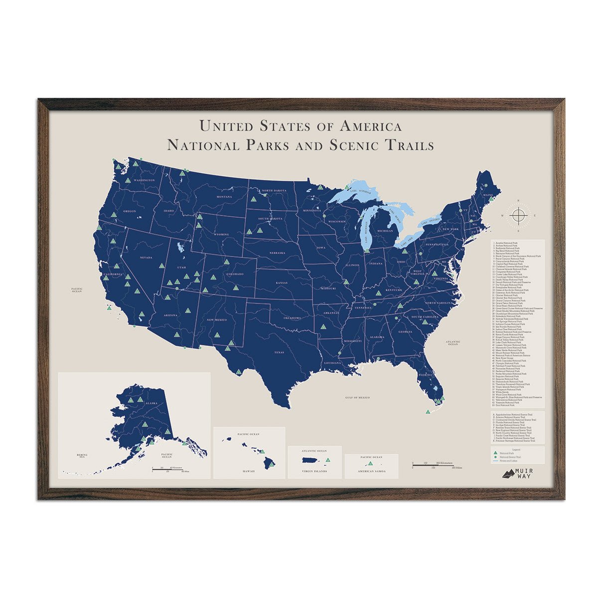
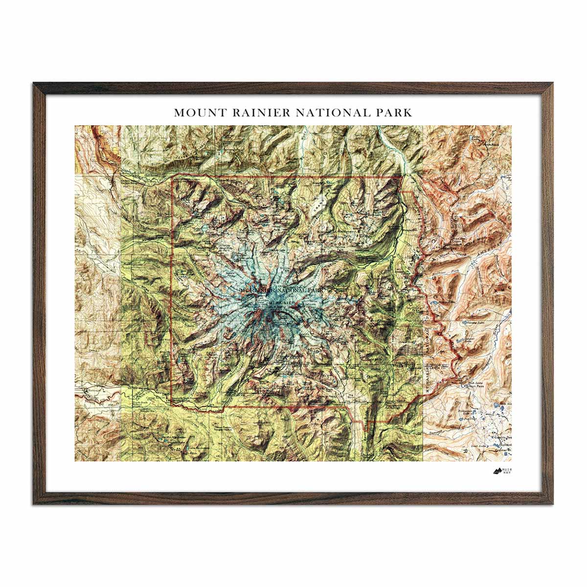
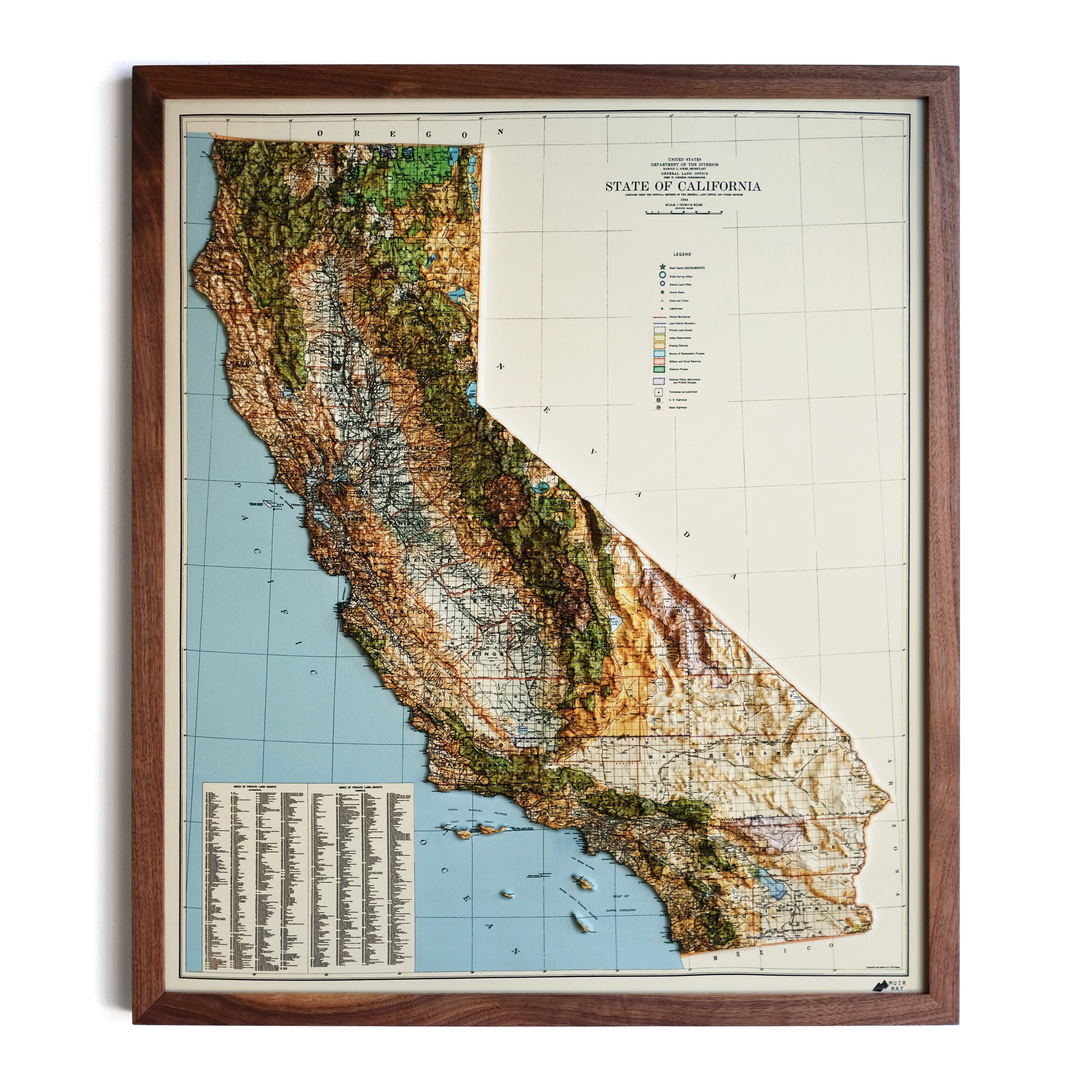
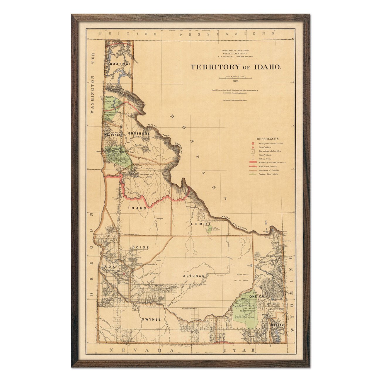
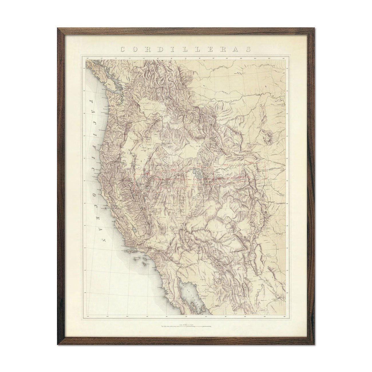
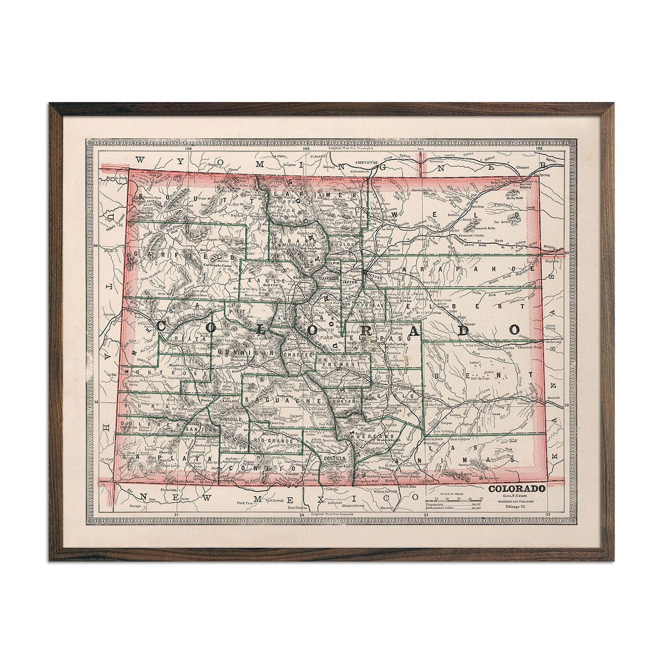
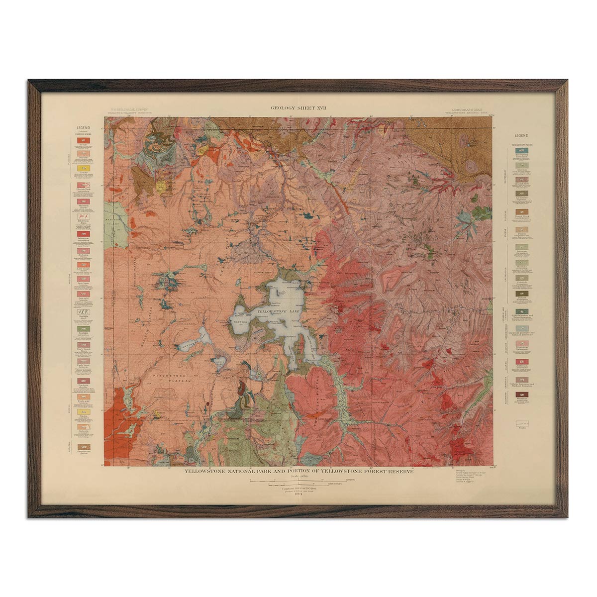
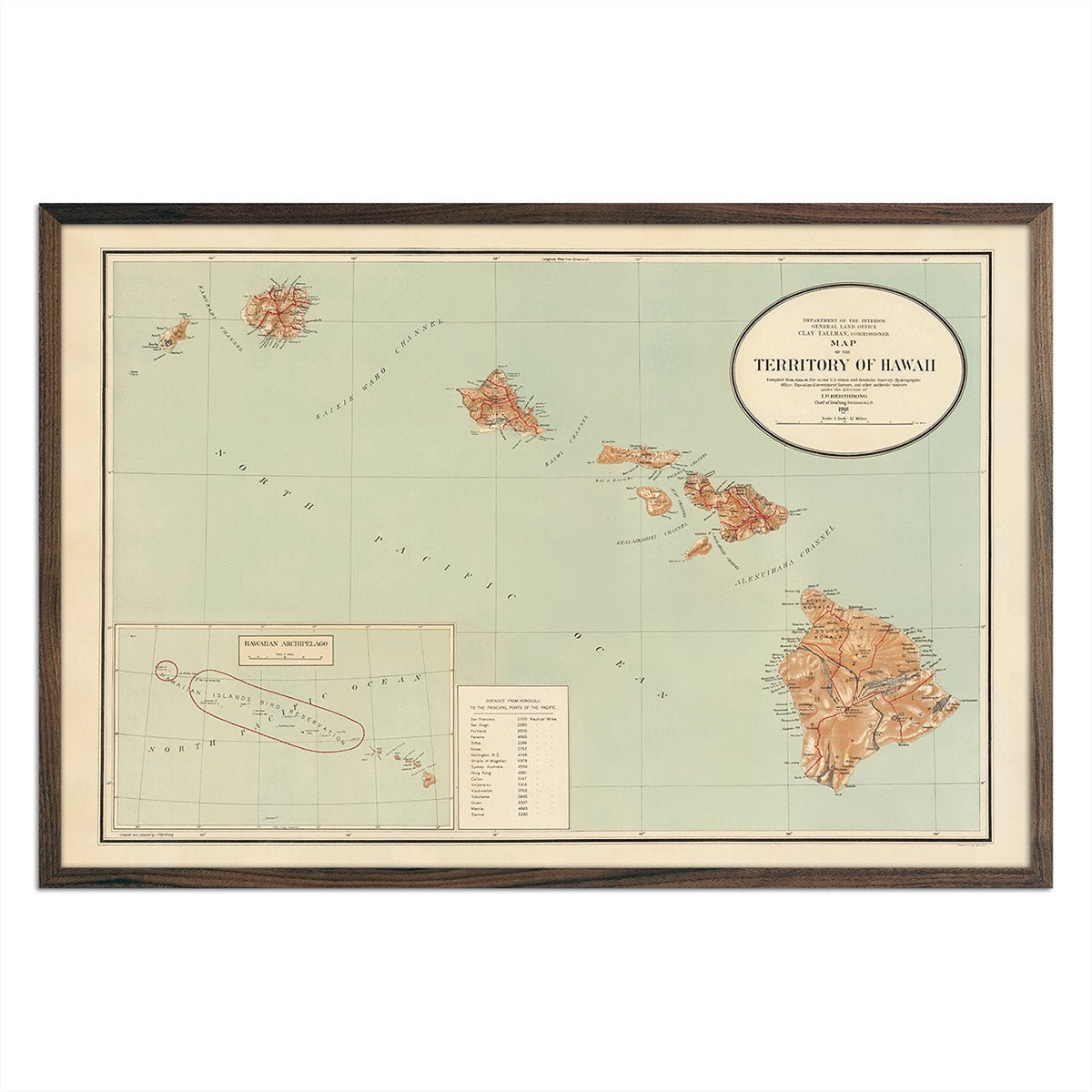
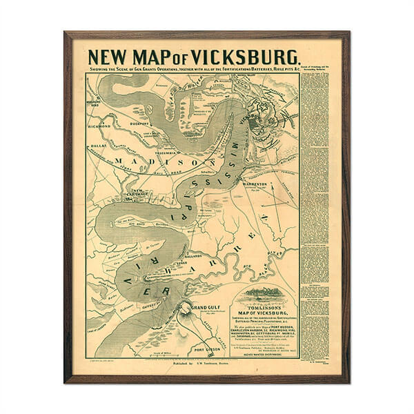
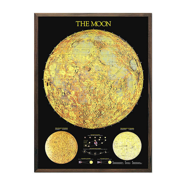
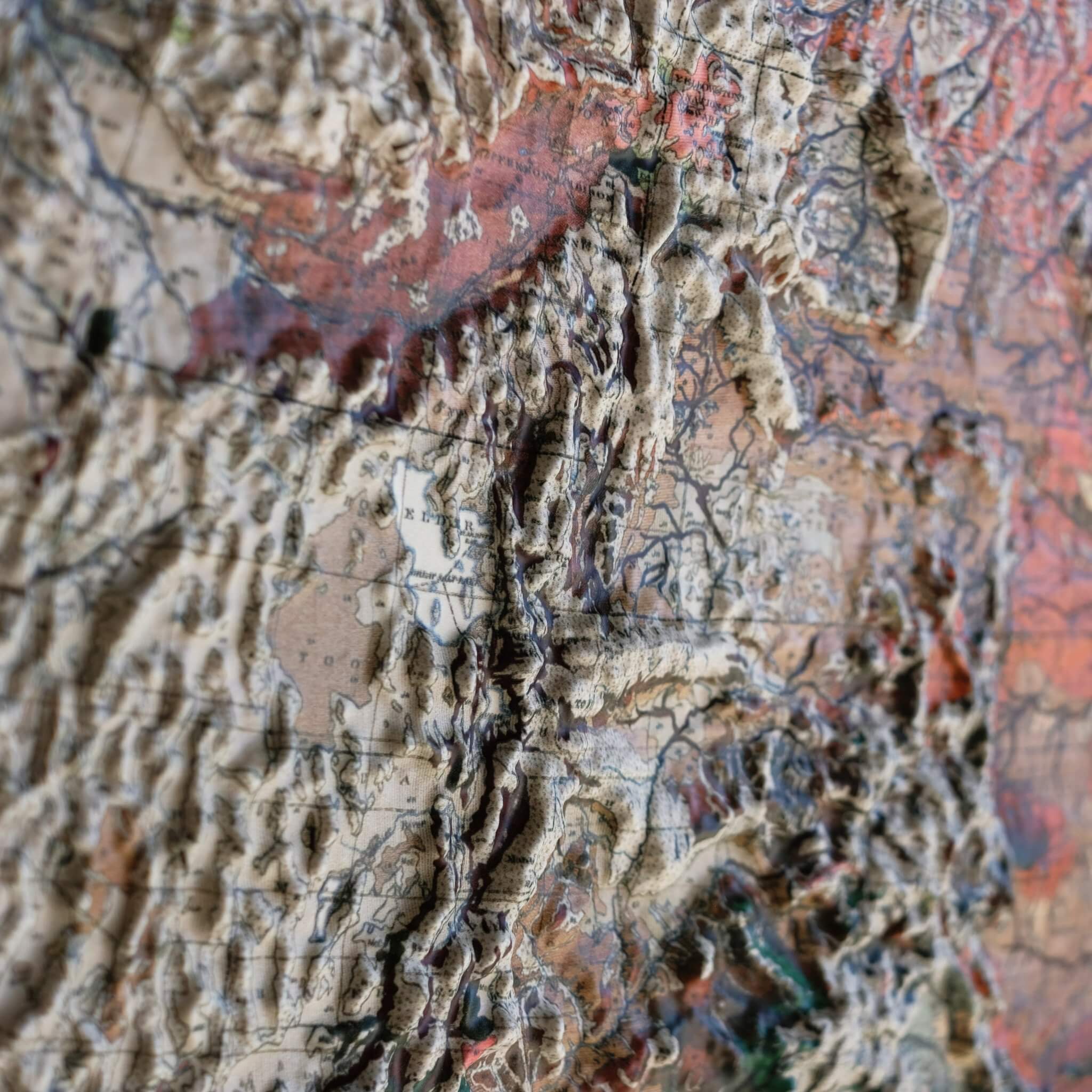
Real raised relief to explore through touch and feel.
- Size - unframed 31x22 inches
- Size - framed 32x23 inches
- Material - plastic mounted on foamboard
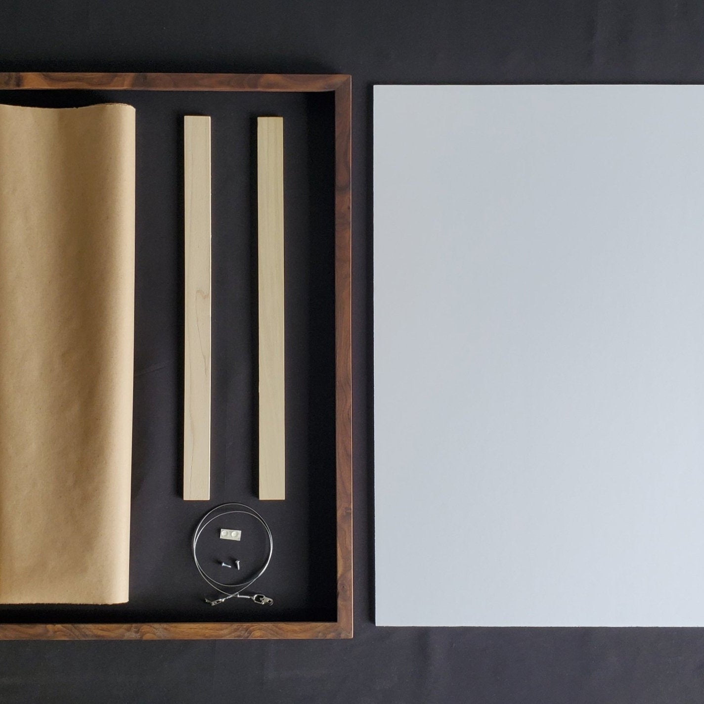
- Handmade real Walnut frame available
- Individually made in our San Diego, CA shop
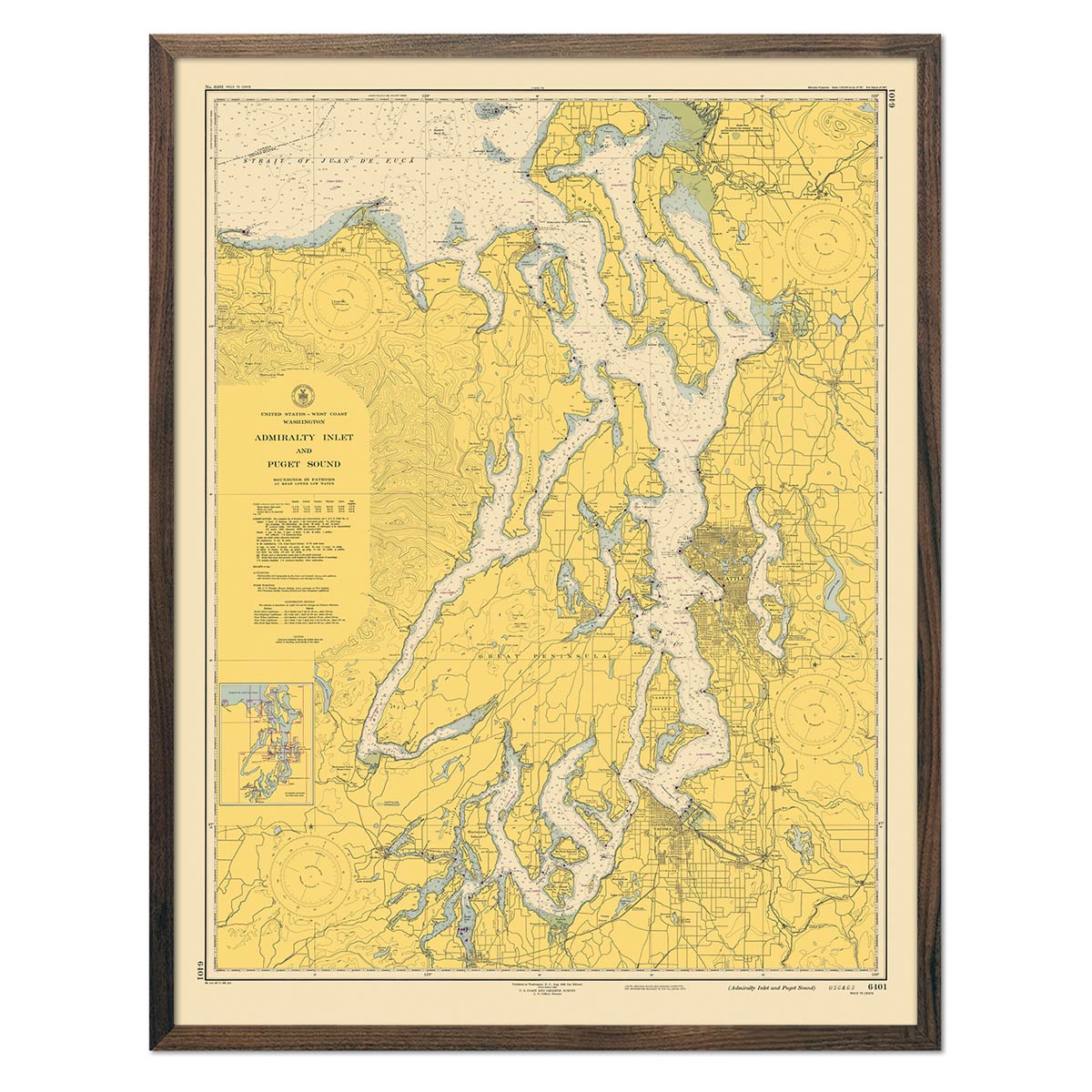
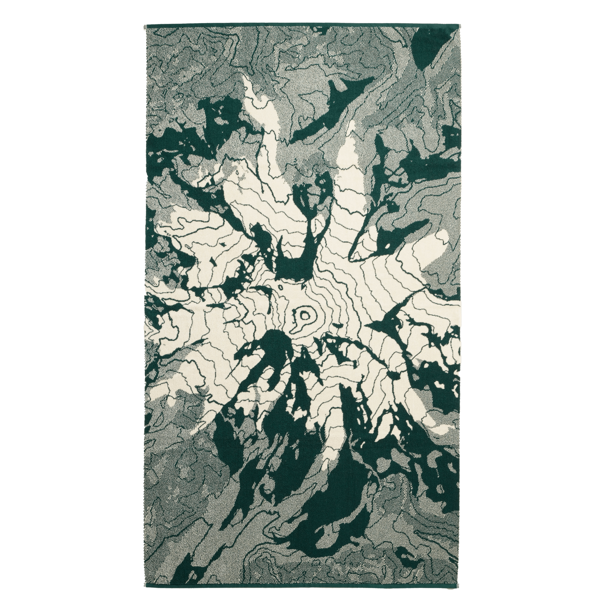
This 1982 USGS topographic map captures Washington State at full geographic range: the volcanic peaks of the Cascade Range, crowned by Mount Rainier at over 14,400 feet, the tallest point in the range; the sweeping flood-basalt plateau of the Columbia Basin, built up over millions of years by some of the largest lava flows in Earth's history; and the Olympic Peninsula, home to one of only a handful of temperate rainforests anywhere in the world. Muir Way has reimagined this classic survey in physical dimension — each map is printed, heat-formed, and vacuum-pressed to lift the original cartography off the flat page, turning every contour line into tangible terrain.
Trace the volcanic peaks of the Cascades, the carved channels of the Columbia Plateau, and the rugged coastline of the Olympic Peninsula — all in one tactile, wall-worthy piece.
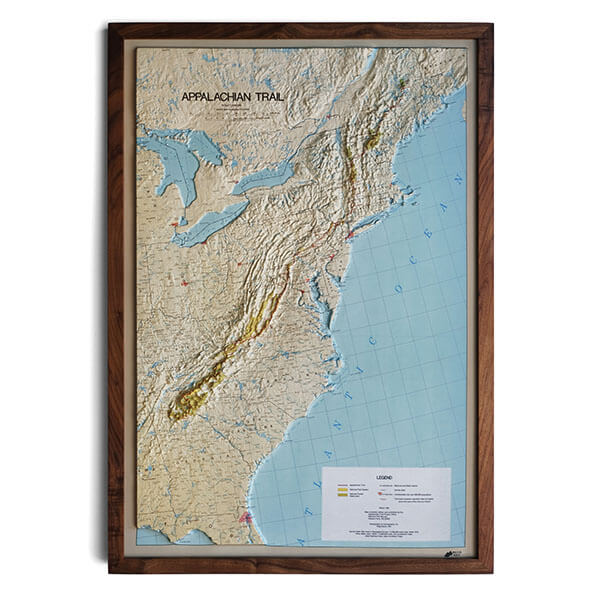
Framed maps do not have glass or acrylic over them, so you can touch them and explore their intricacies.
PLEASE NOTE
You will love this map if you embrace its anomalies. When the plastic is heated and stretched over the 3D mold, the image may be altered, causing warped lines and text around higher elevations. The fine print on plastic is not as sharp as on paper, sometimes rendering very small text illegible.