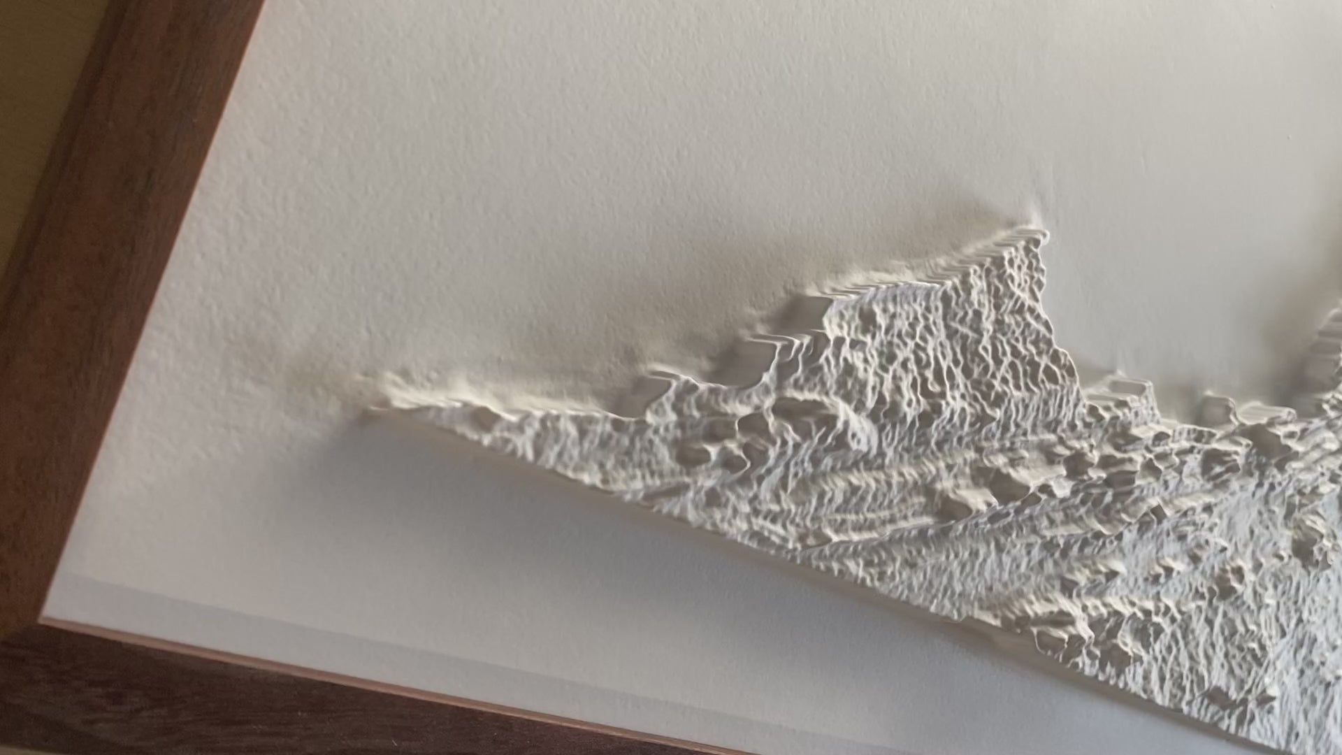
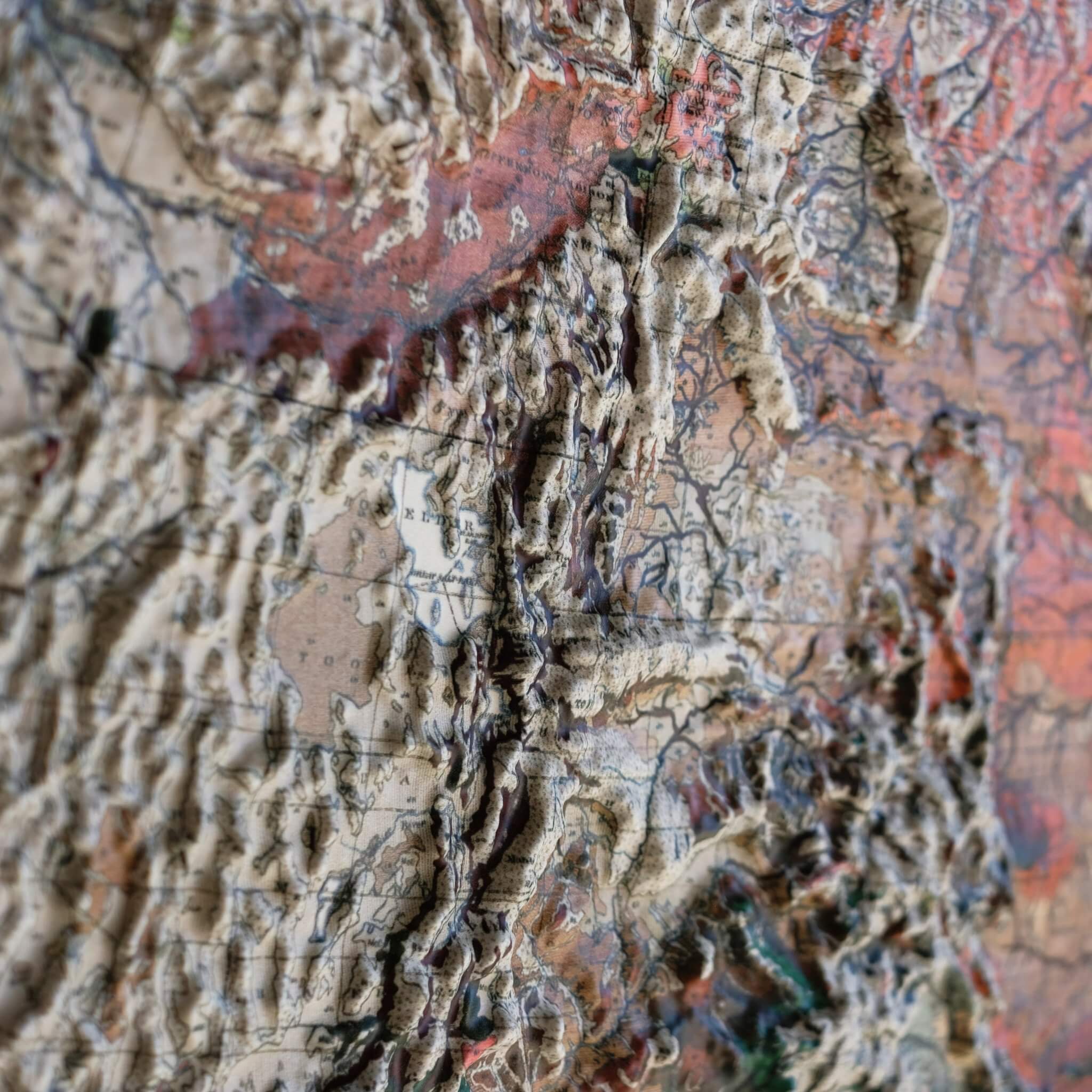
This 3D Raised Relief Map of Virginia is a Muir Way original, built around one of the Commonwealth's most striking geographic facts: Mount Rogers, Virginia's highest point, rises to 5,729 feet in the rugged Blue Ridge Mountains of the southwest. From that Appalachian high country the terrain rolls down through the broad Shenandoah Valley and out to the tidal flats of the Chesapeake Bay—the largest estuary in the United States—and every foot of that transition is heated and vacuum-formed over a precisely sculpted 3D mold, so the elevation change is something you can actually feel, not just see.
Every Muir Way relief map starts as a flat sheet of durable plastic. We heat it until pliable, then vacuum-form it over a custom mold sculpted from modern digital elevation data—so the terrain you see is a genuine three-dimensional sculpture, with real height and texture in every ridge, not a flat printed image like our 2D Vintage Relief paper maps.
There's no printed map, no labels, and no text anywhere on the piece—it's left entirely white. With nothing else competing for your eye, the terrain itself becomes the whole point. Set it near a window or a lamp and view it at an angle; the shadows raking across the surface are what bring out the detail in the relief.
Framed versions are built without glass or acrylic over the terrain, so the map stays fully touchable. Run your hand across the Blue Ridge, down into the Shenandoah Valley, and out to the Tidewater coastline, and you'll feel the actual shape of Virginia's landscape, not just see it.
- Size - unframed 34x16 inches
- Size - framed 35x17 inches
- White plastic mounted on foamboard
- Handmade real Walnut frame available
- Individually made in our San Diego, CA shop