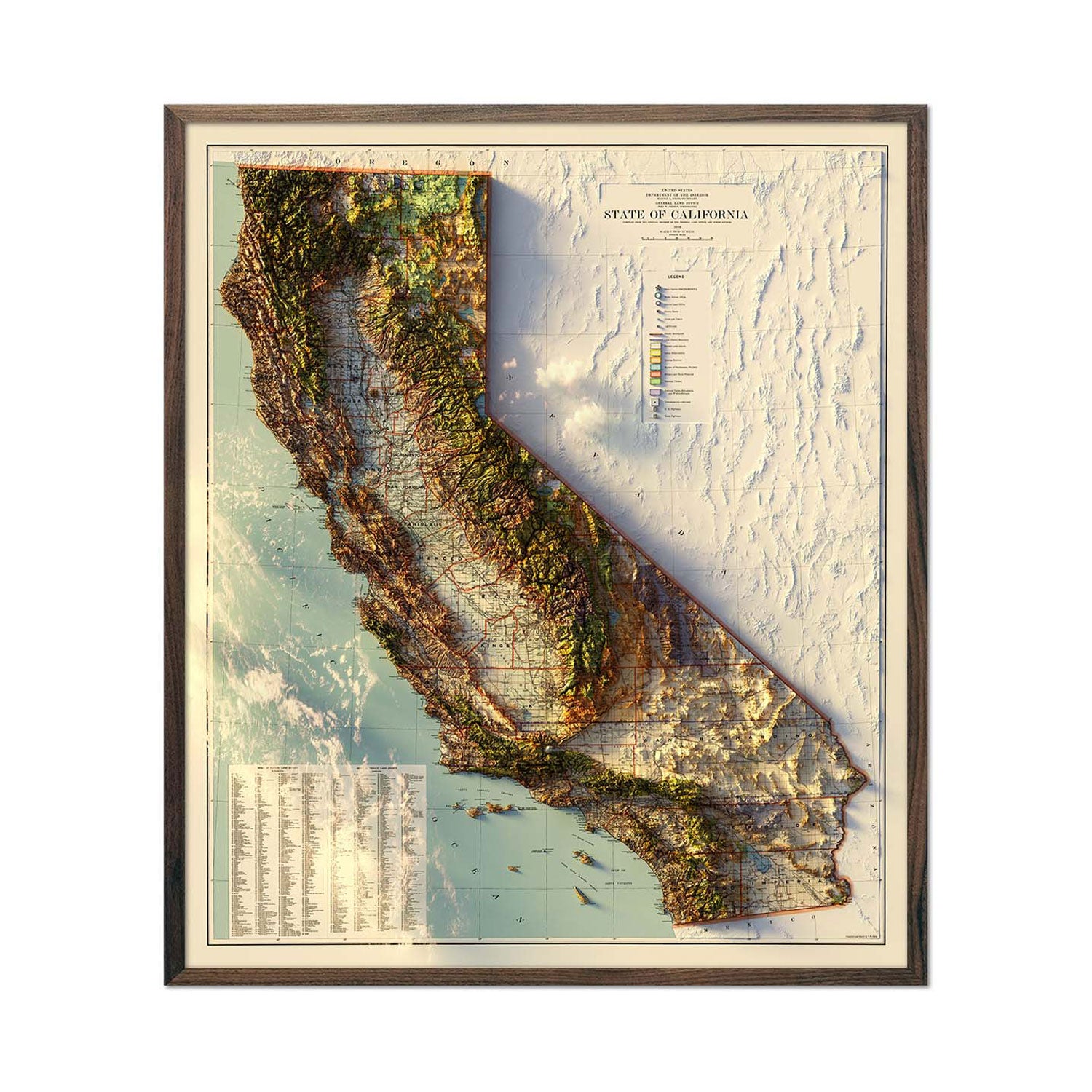
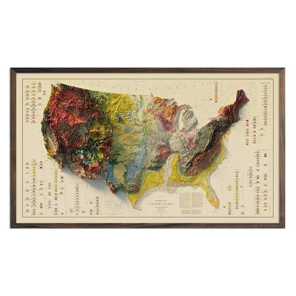
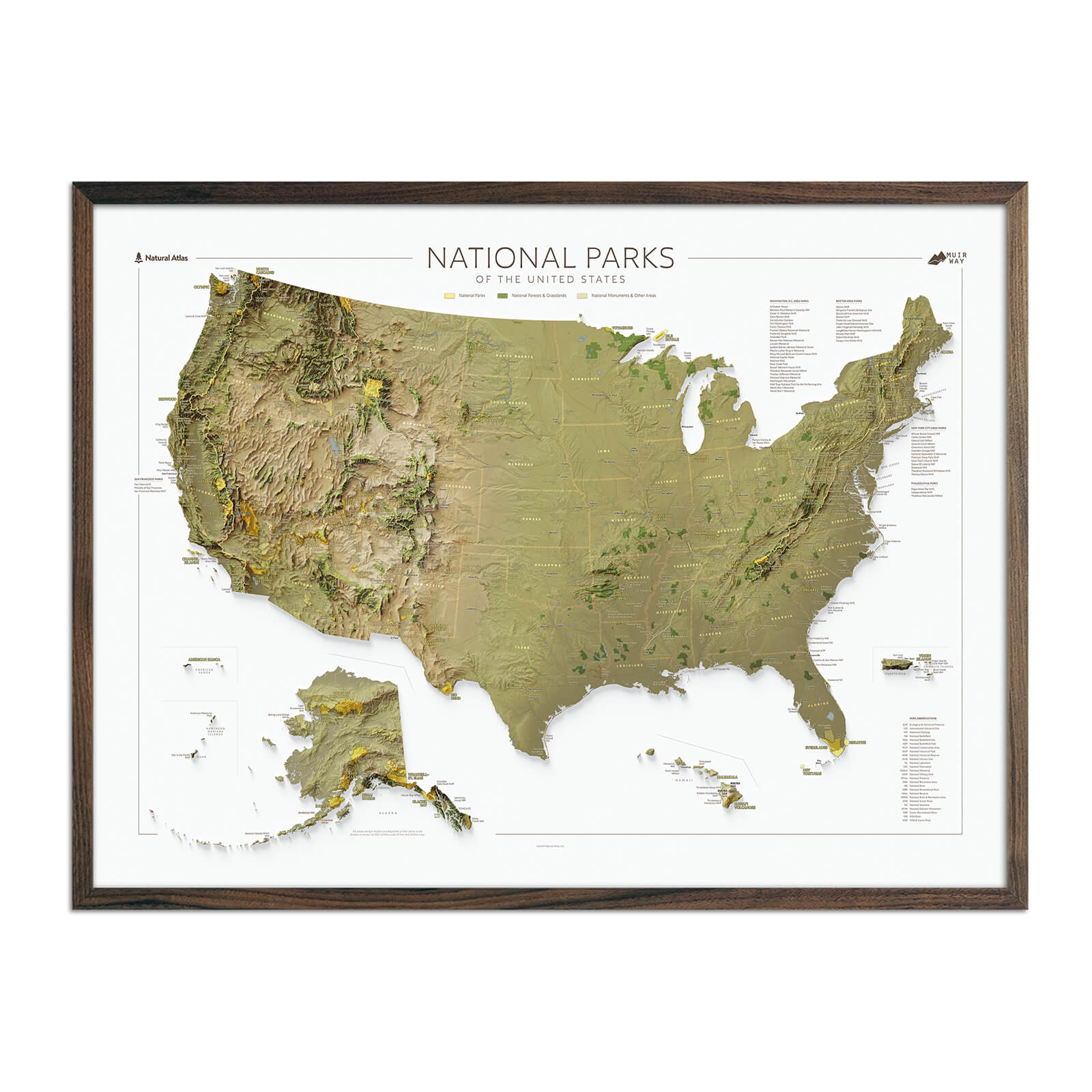
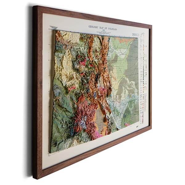
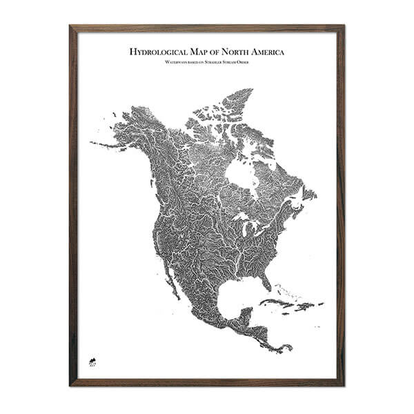
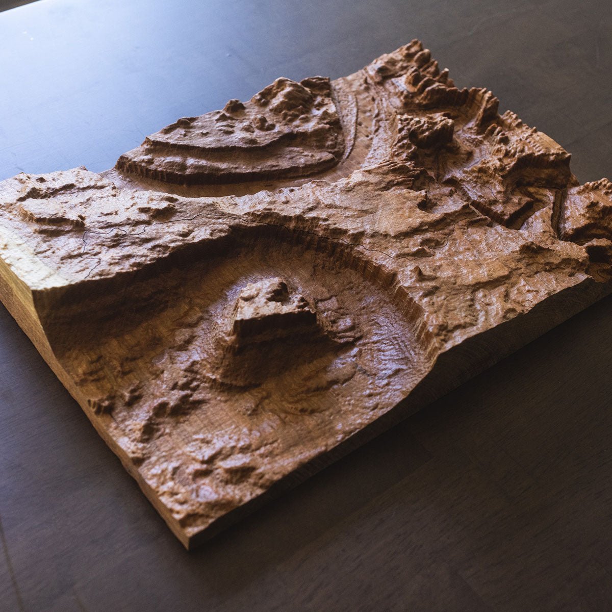
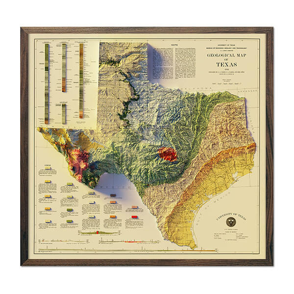
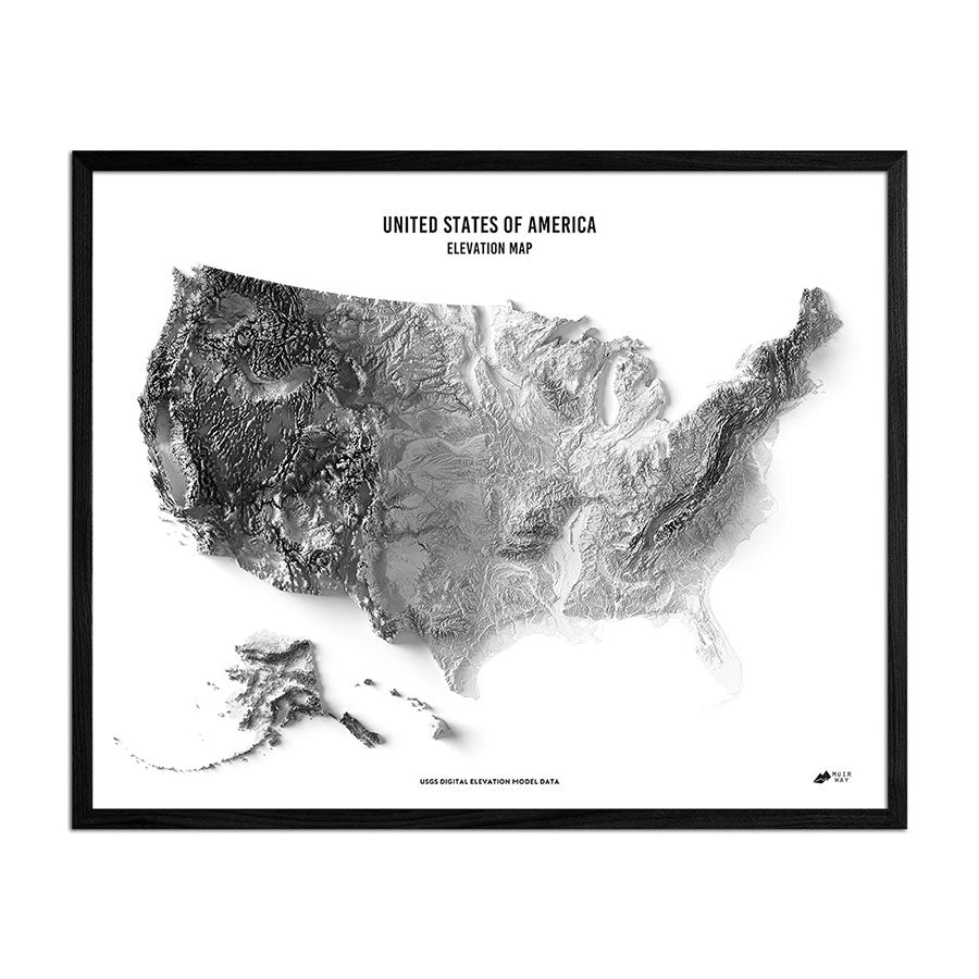
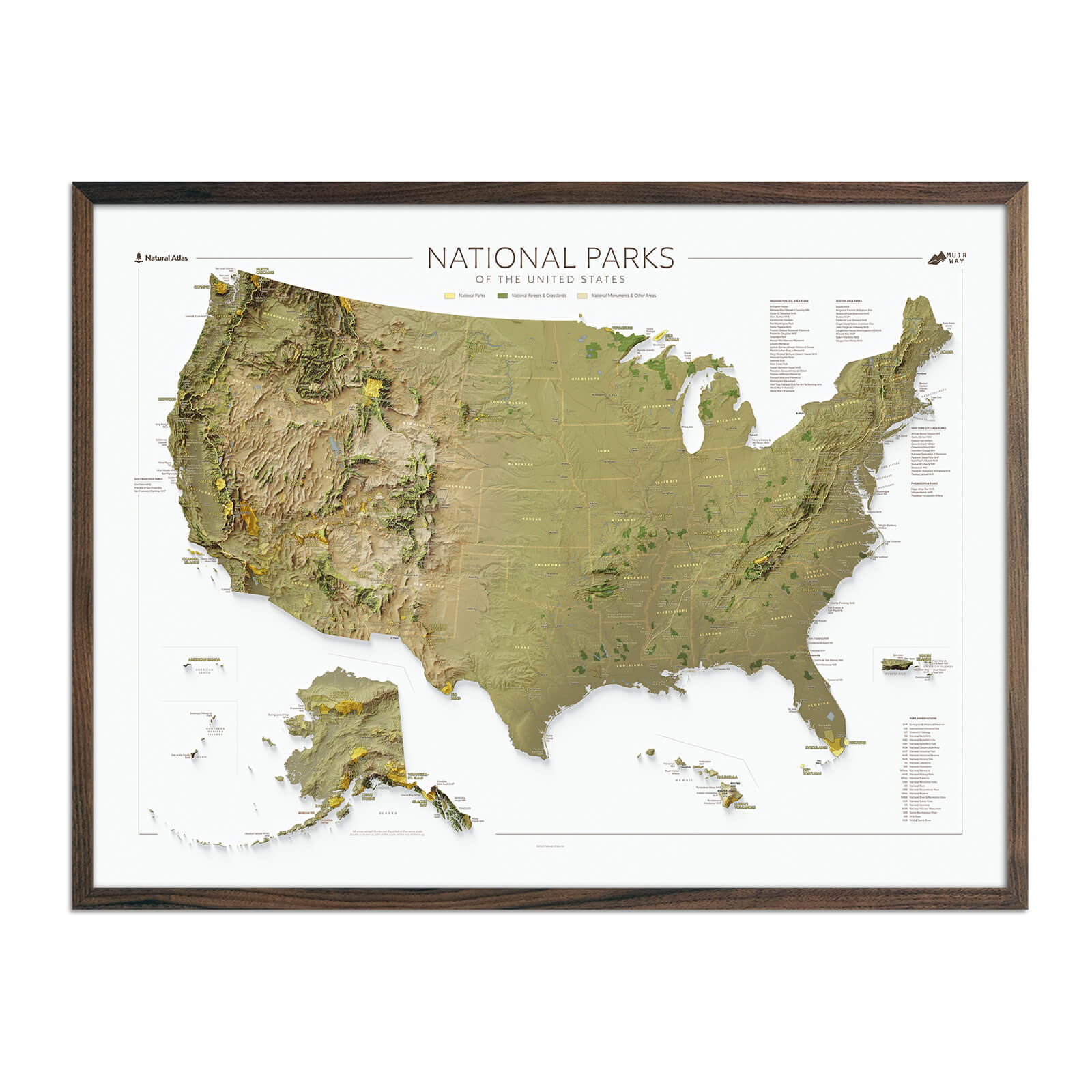
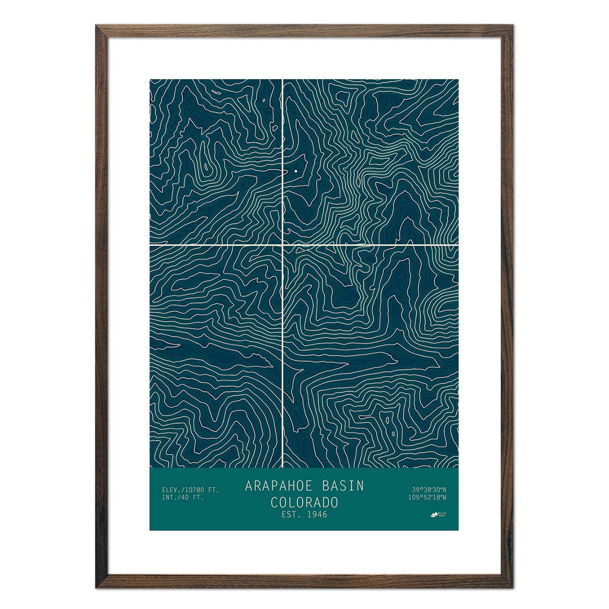
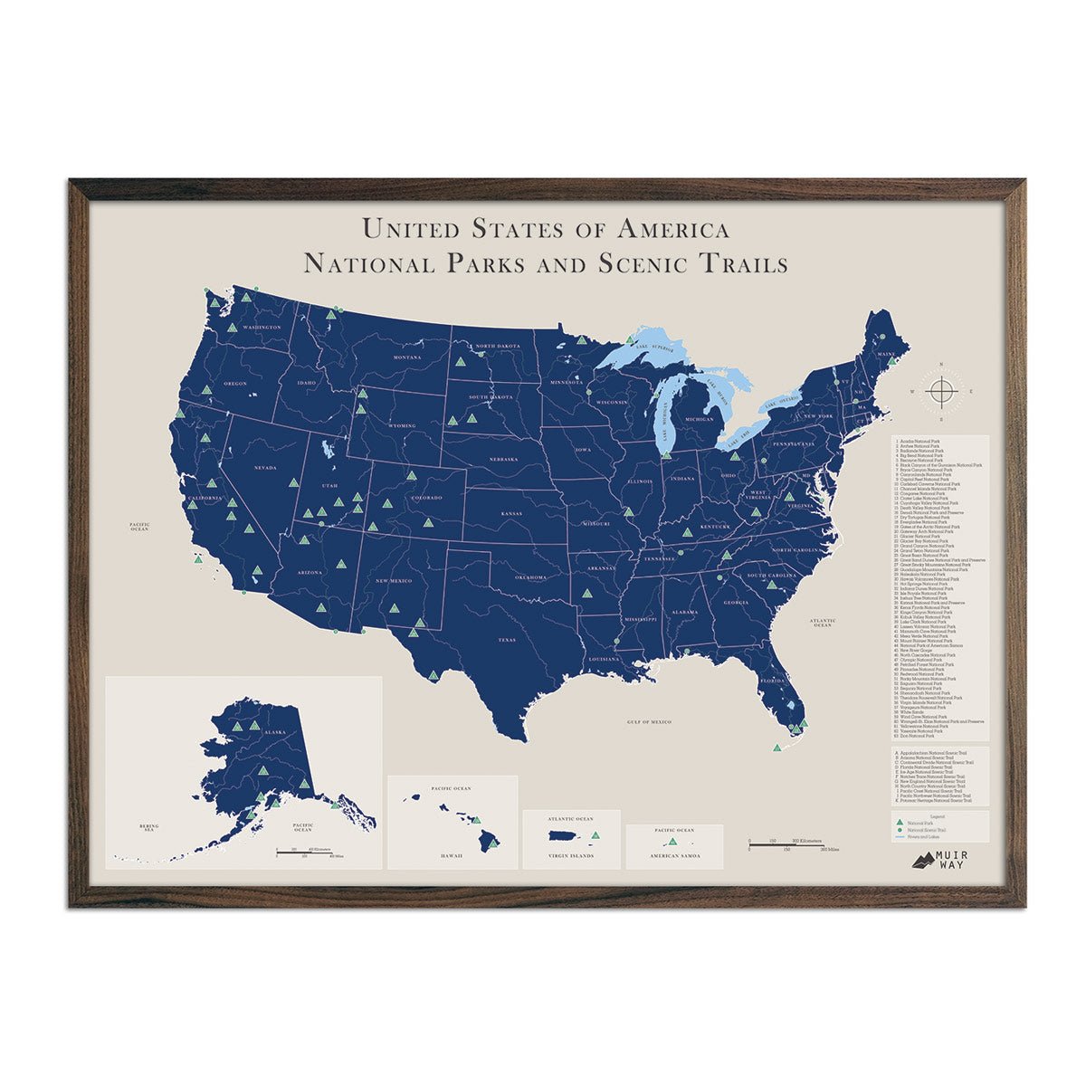
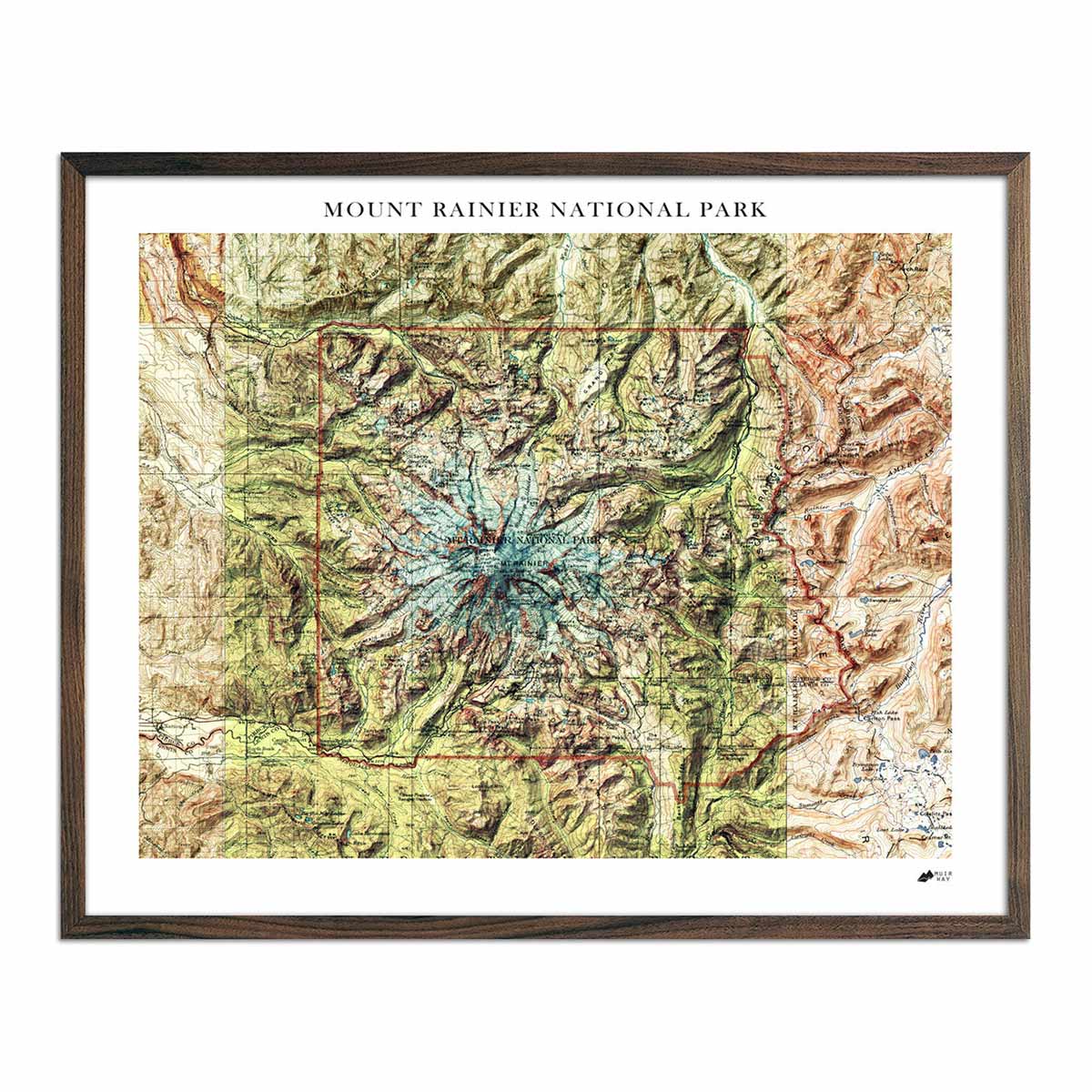
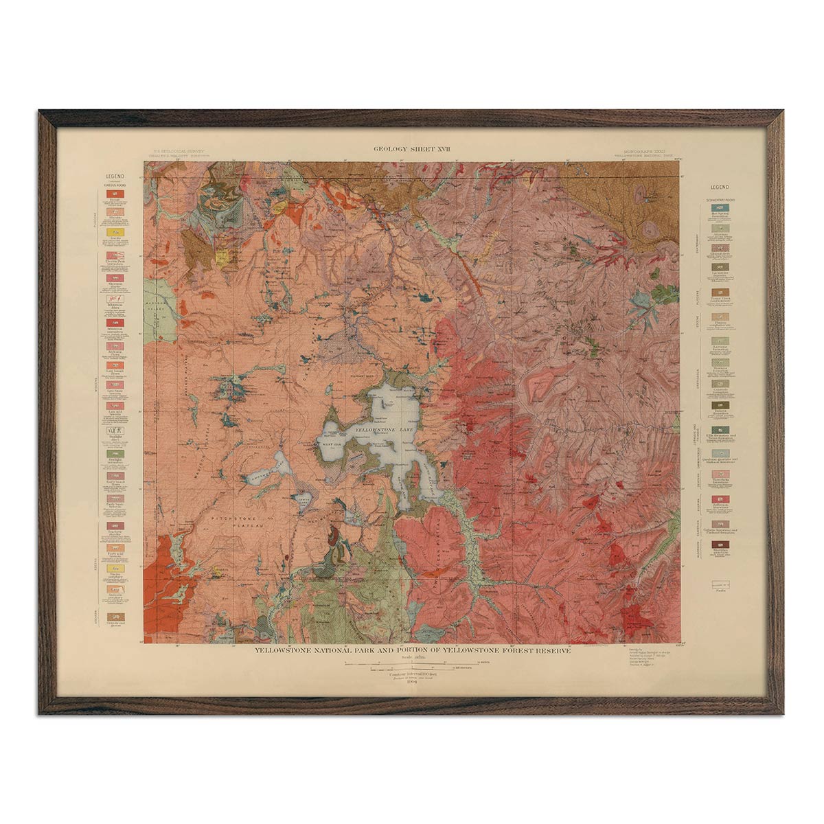
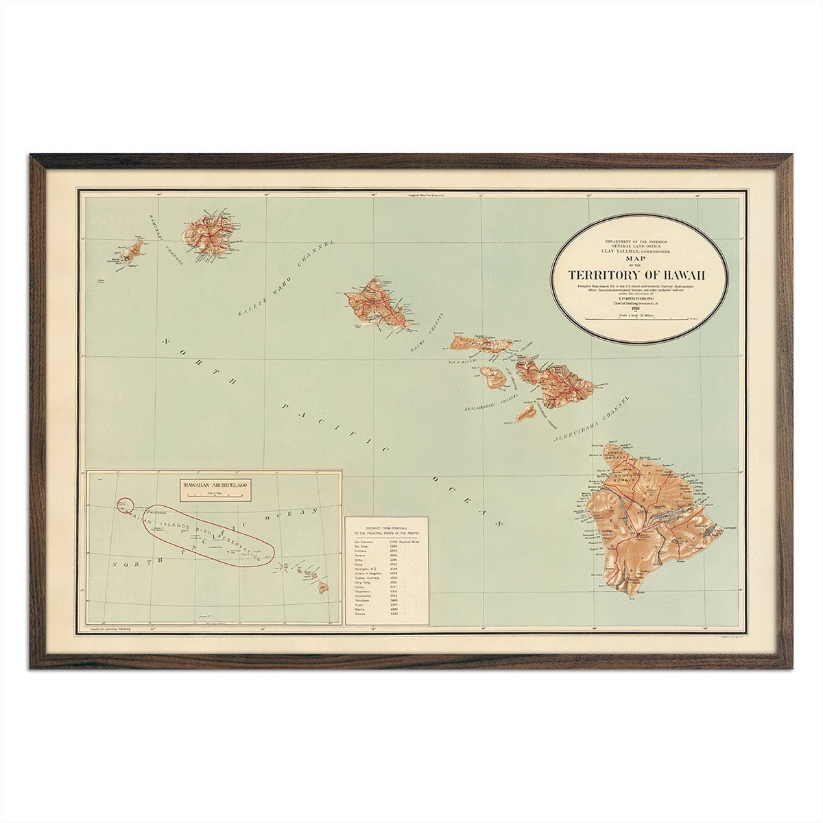
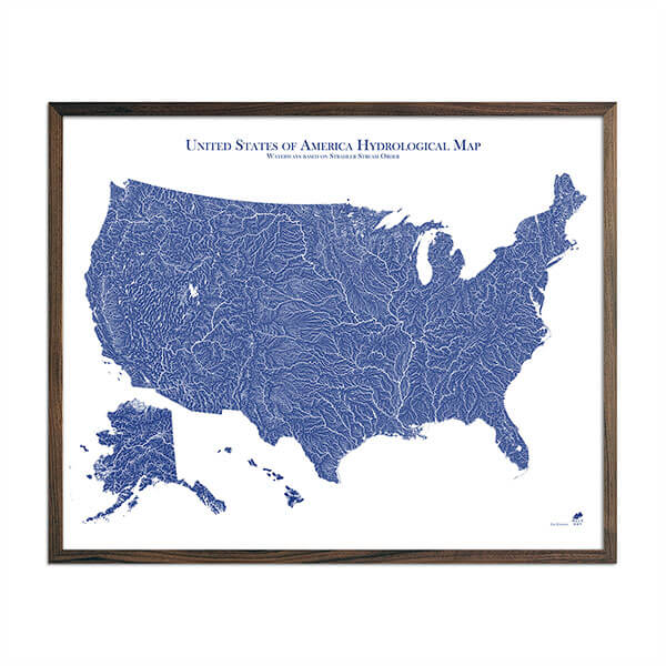
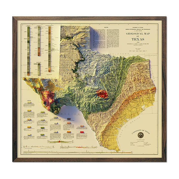
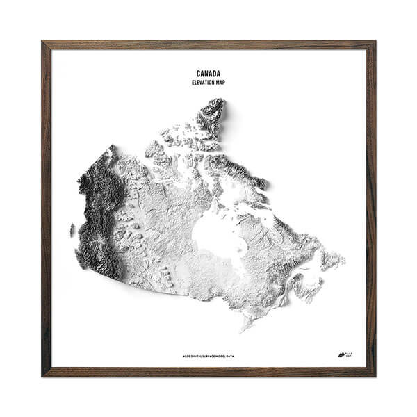
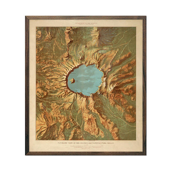
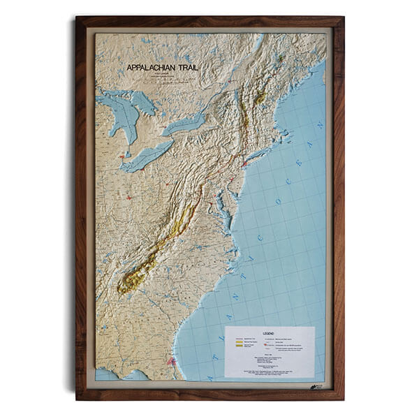
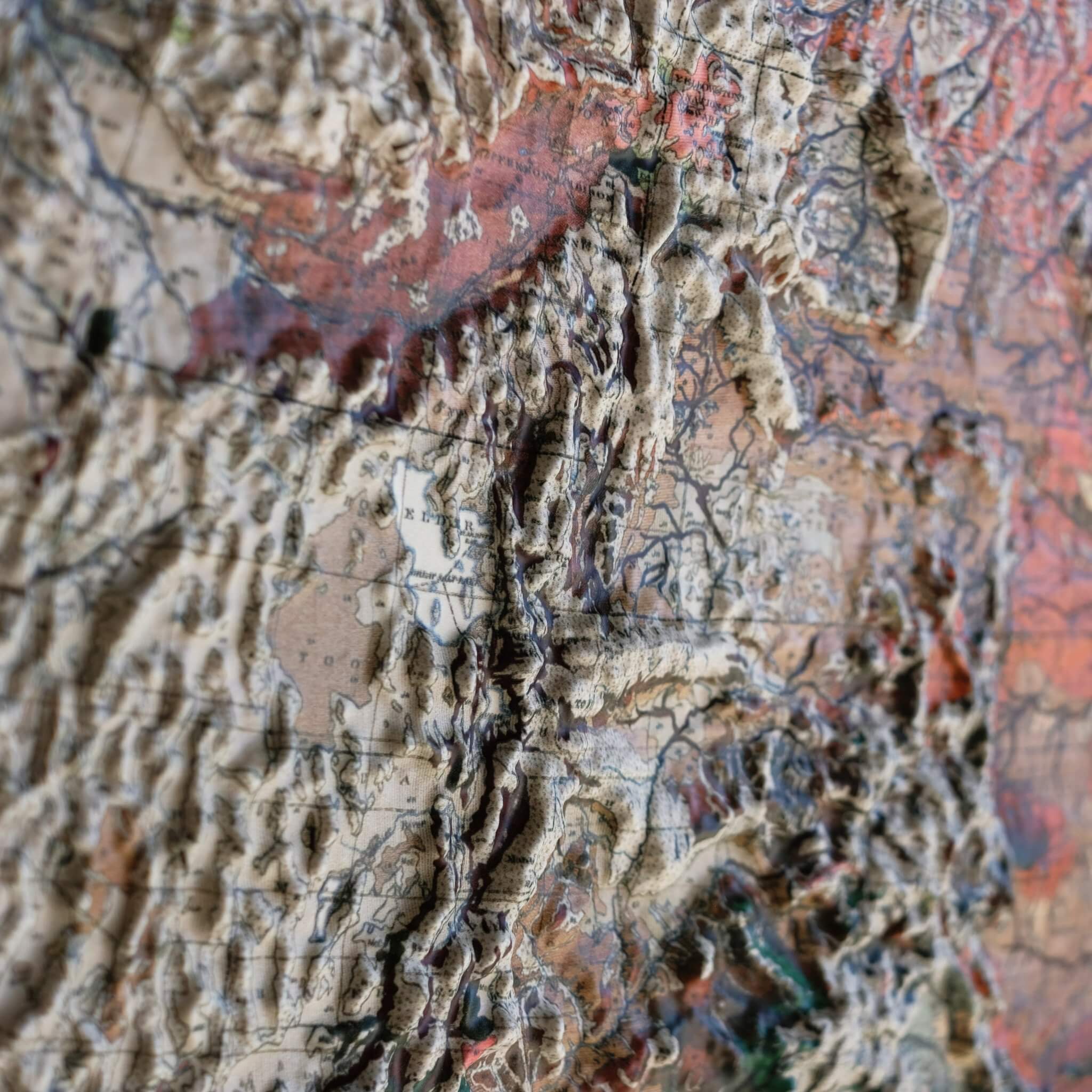
Real raised relief to explore through touch and feel.
- Size - unframed 22x32 inches
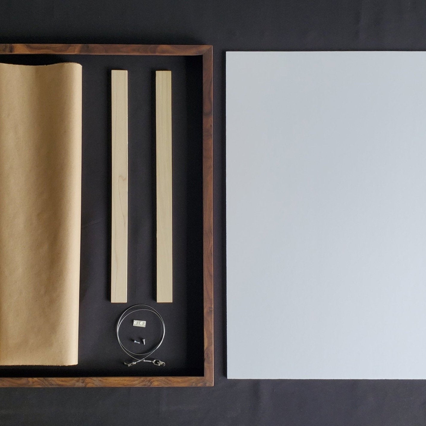
- Size - framed 23x33 inches
- Material - plastic mounted on foam board
- Handmade real Walnut frame available
- Individually made in our San Diego, CA shop
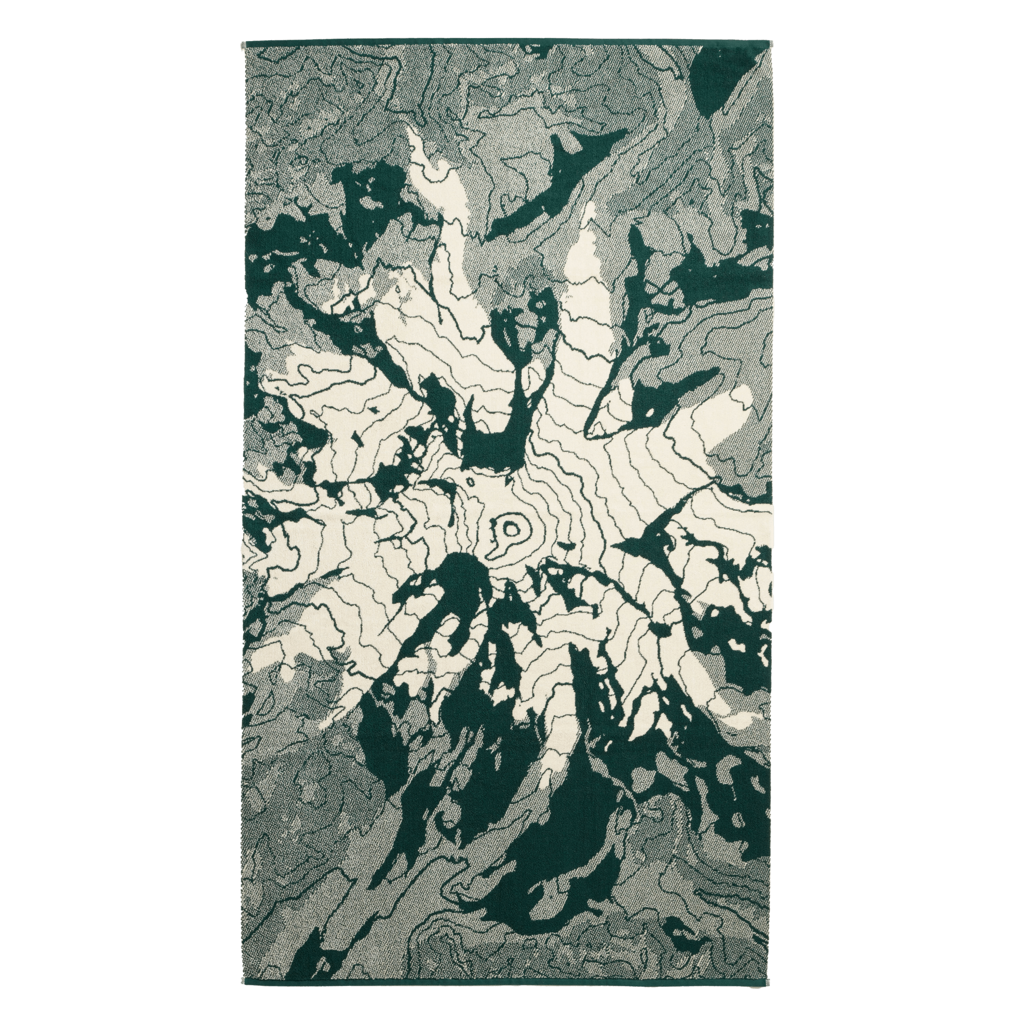
Most geologic maps trace ancient bedrock, but Vermont's 1970 Surficial Geology Map captures something more recent: the handiwork of the glaciers that carved the Green Mountains. Its colors are chosen for information — marking where ice sheets dropped sand and gravel, where meltwater rivers wound through the valleys, where ancient glacial lakes once pooled — but laid across the state, they curl and drift like the ice and water that left them, tracing the same valleys the Long Trail climbs today.
The map comes from Charles Doll, Vermont's State Geologist from 1947 to 1976, who also produced the 1961 Centennial Geologic Map. Long before the Appalachian Trail existed, Vermont's Green Mountain Club was already building its own: the Long Trail, constructed between 1912 and 1930 along the spine of the Green Mountains. At 273 miles, it's the oldest long-distance hiking trail in the United States, and its southern stretch so impressed early trail planners that it directly inspired the Appalachian Trail — the two trails still share about 100 miles through southern Vermont today.
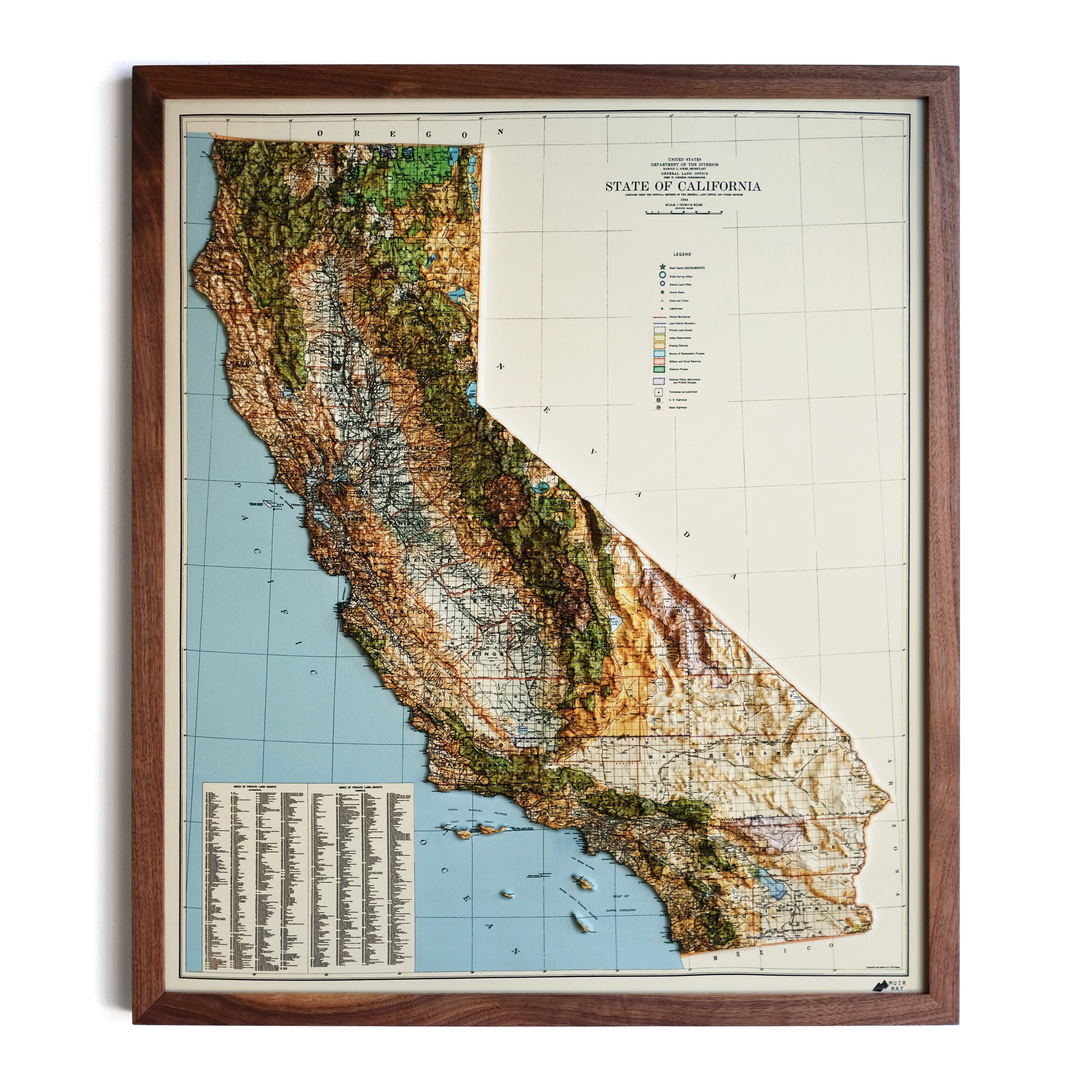
We brought this map to life in 3D Raised Relief, an original creation from Muir Way: printed, heated, and vacuum-formed over an intricately detailed 3D mold, so you can see and feel the Green Mountains and the Long Trail's terrain rise right off the wall.
Framed maps do not have glass or acrylic over them, so you can touch the map and explore its intricacies.
PLEASE NOTE
You will love this map if you embrace its anomalies. When the plastic is heated and stretched over the 3D mold, the image may be altered, causing warped lines and text around higher elevations. The fine print on plastic is not as sharp as on paper, sometimes rendering very small text illegible.