






















































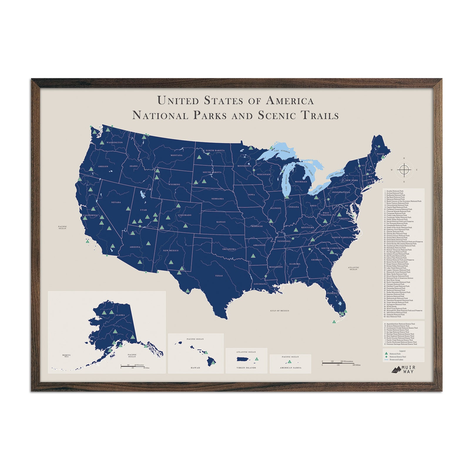
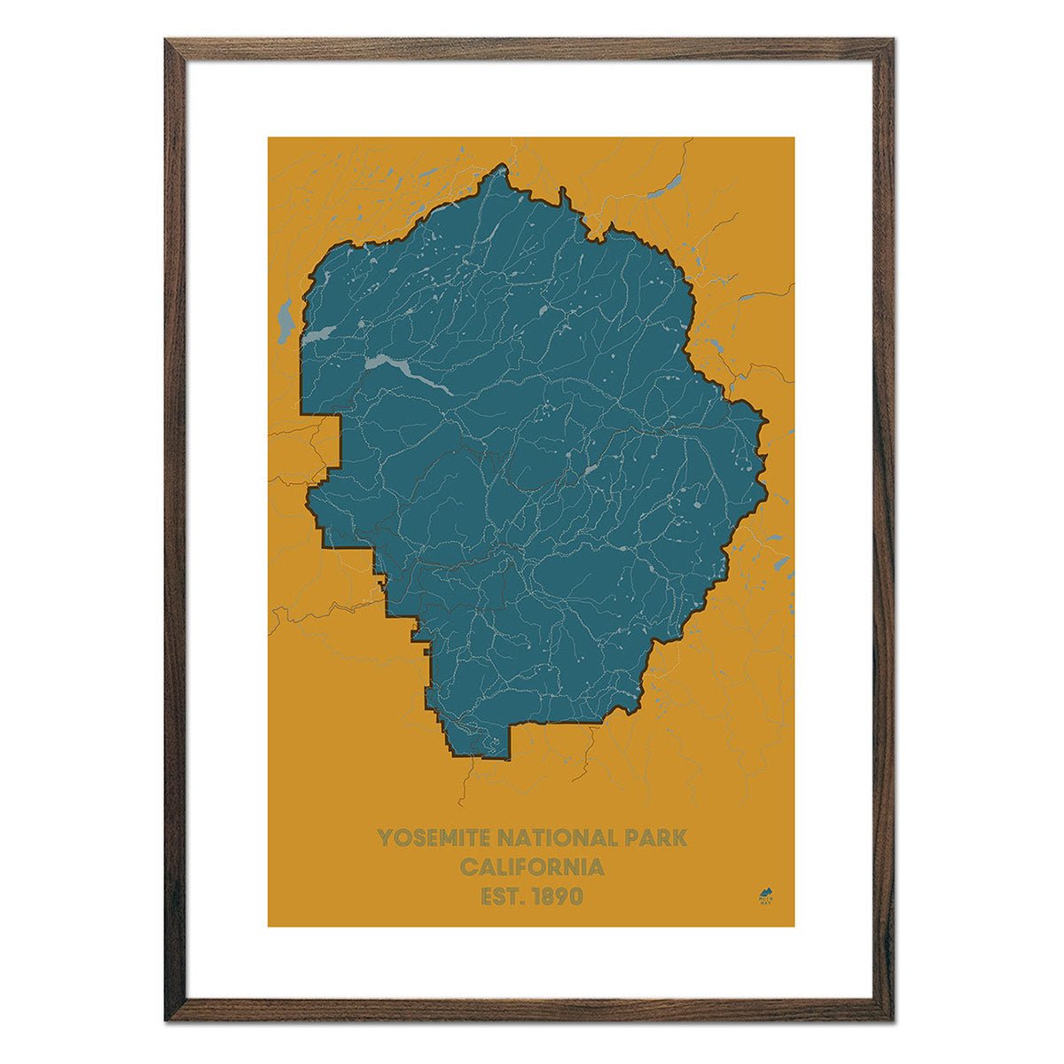
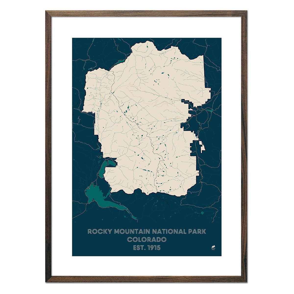
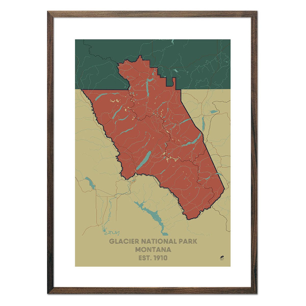
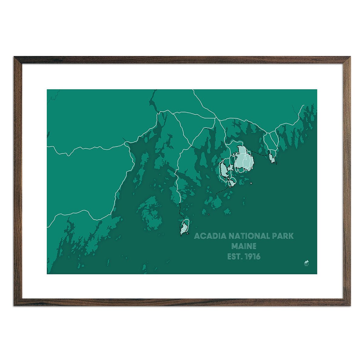
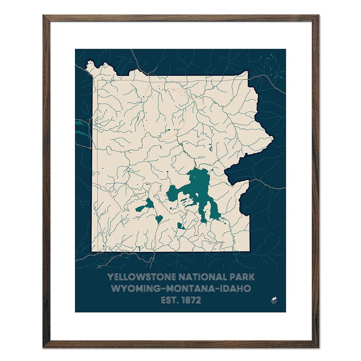
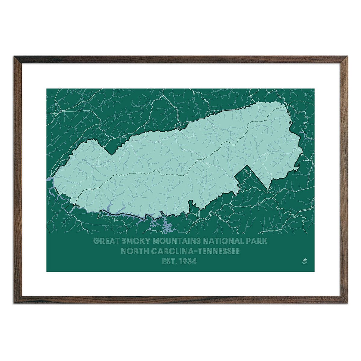
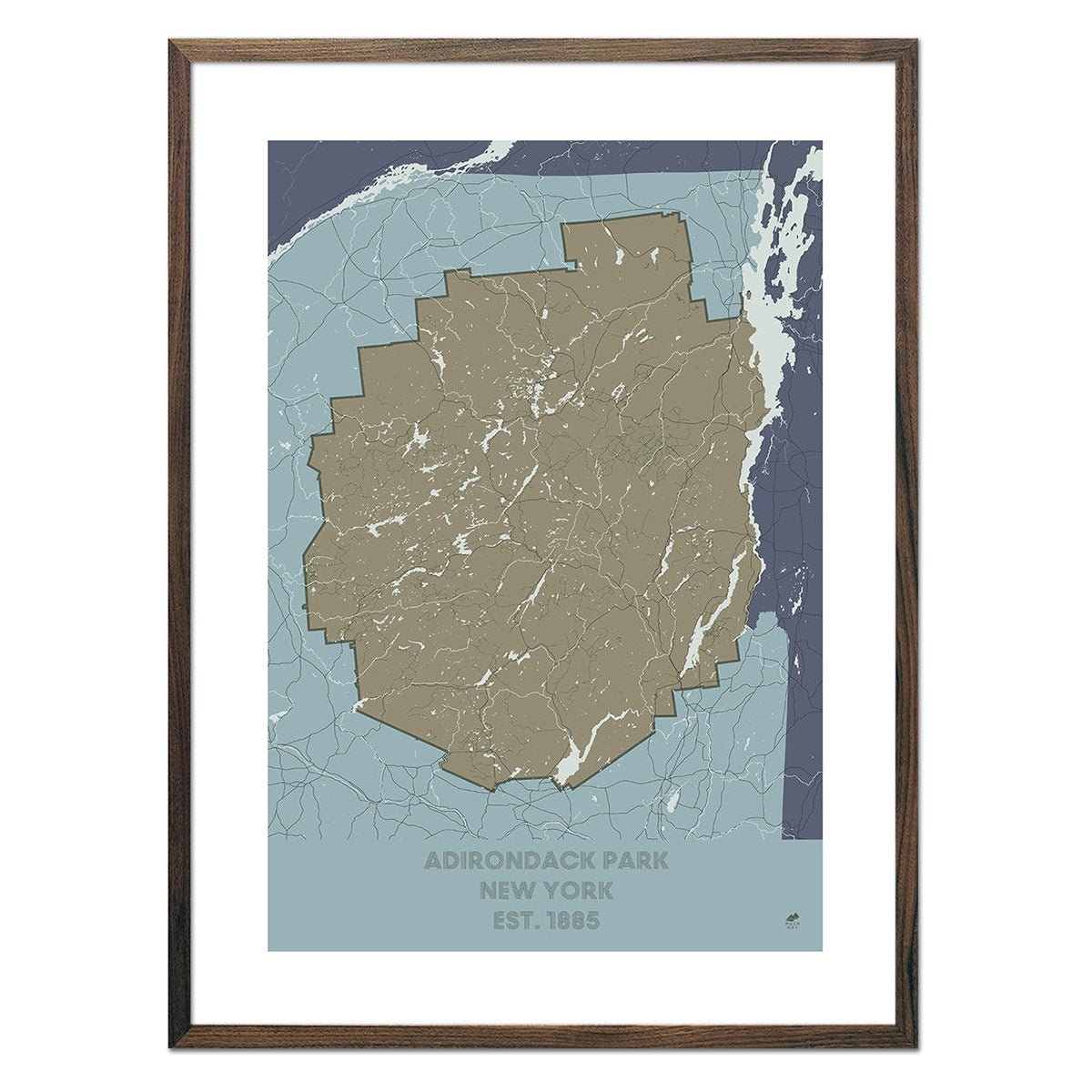
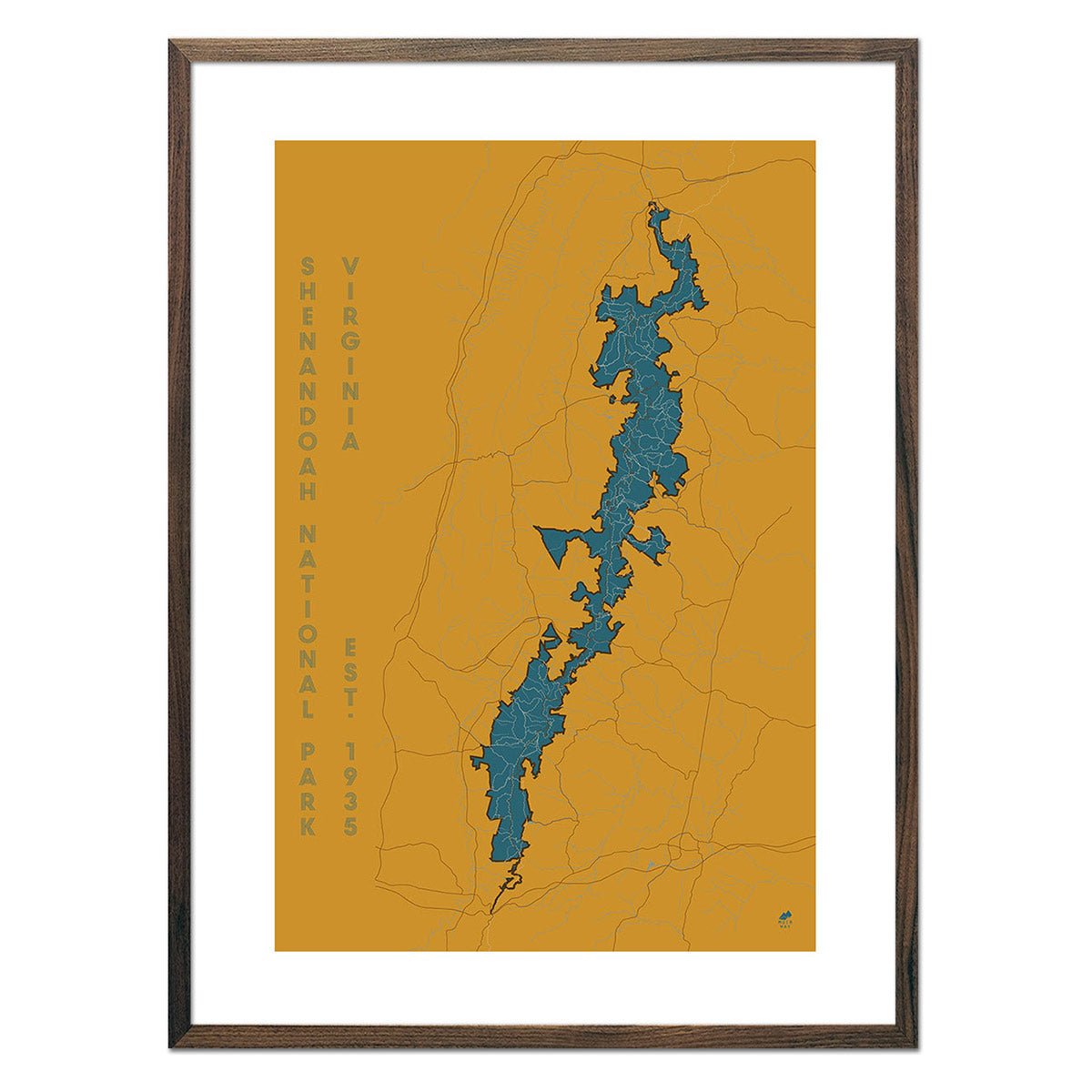
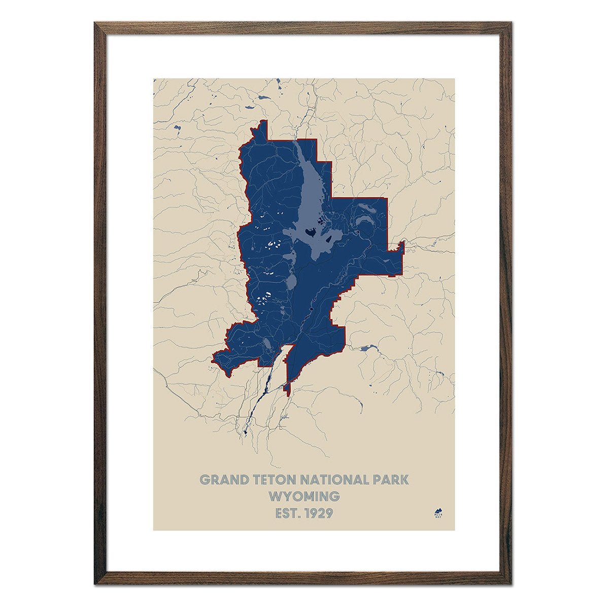
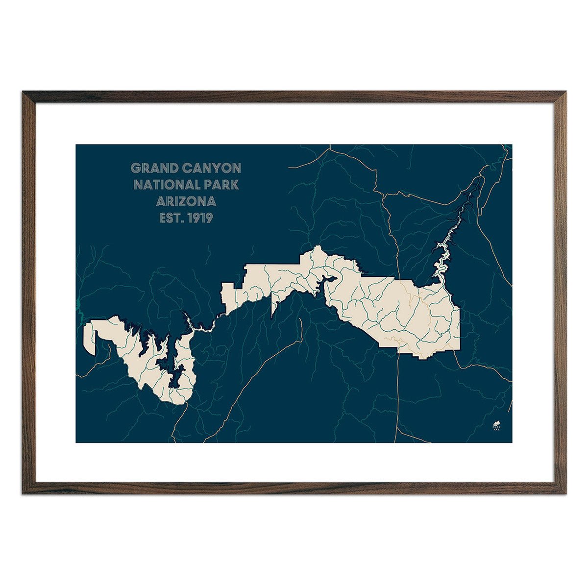
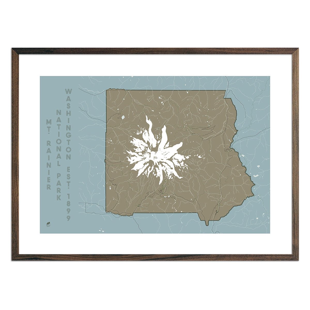
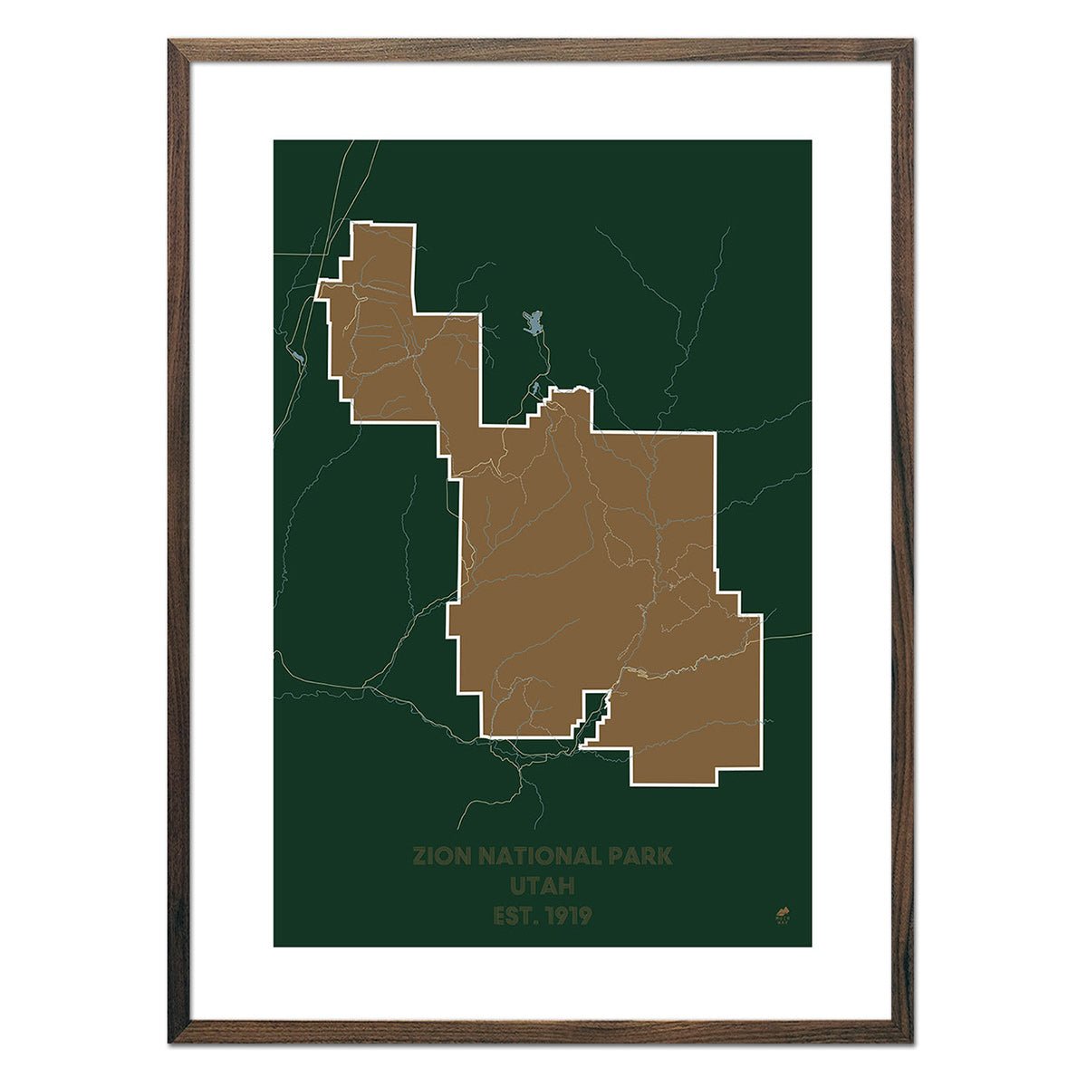
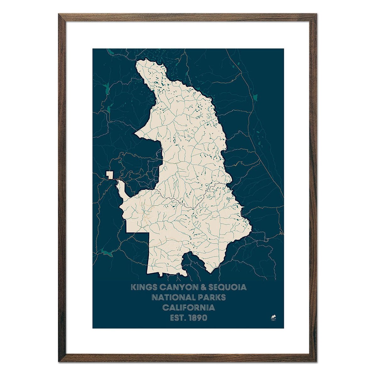
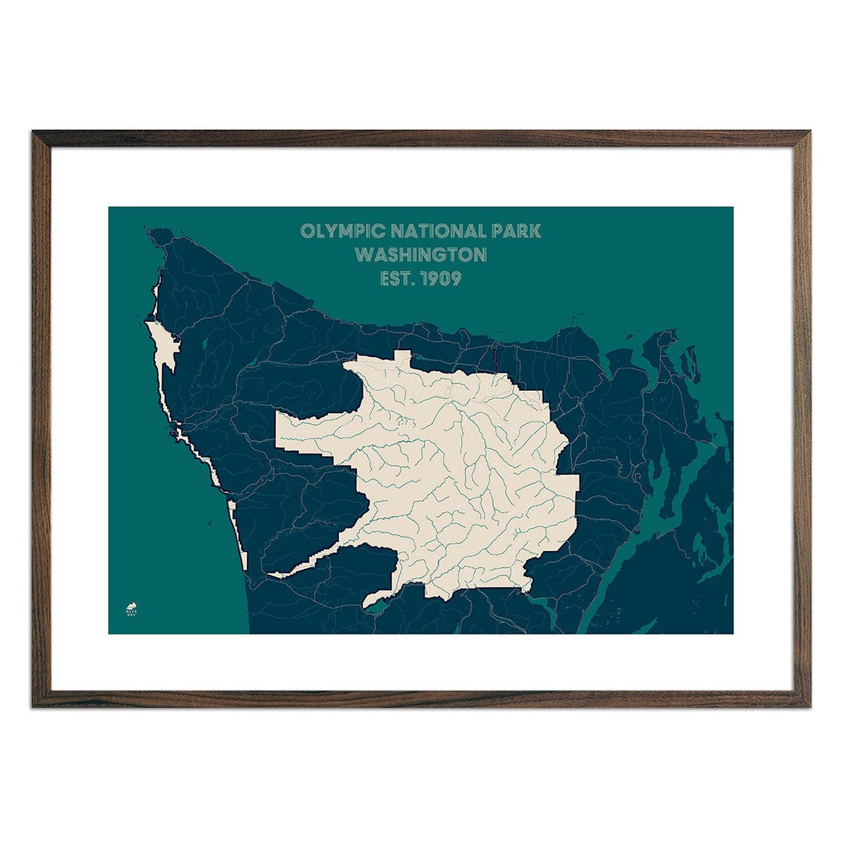
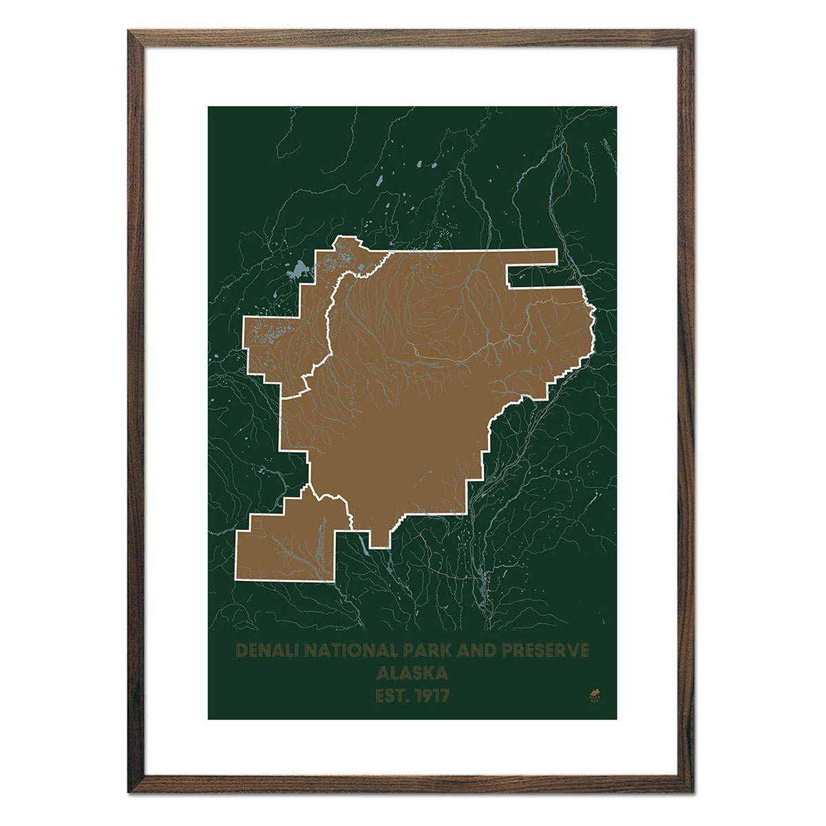
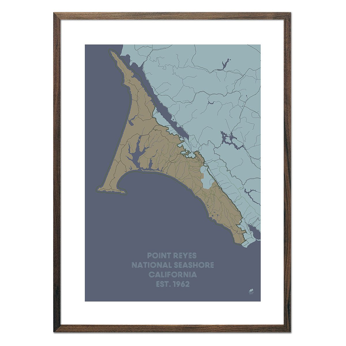
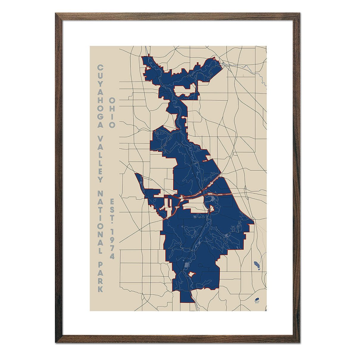
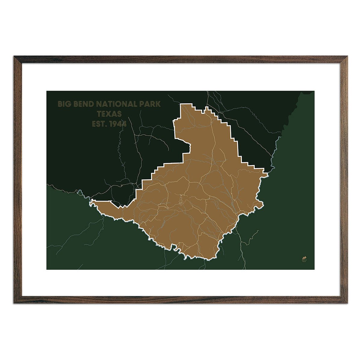
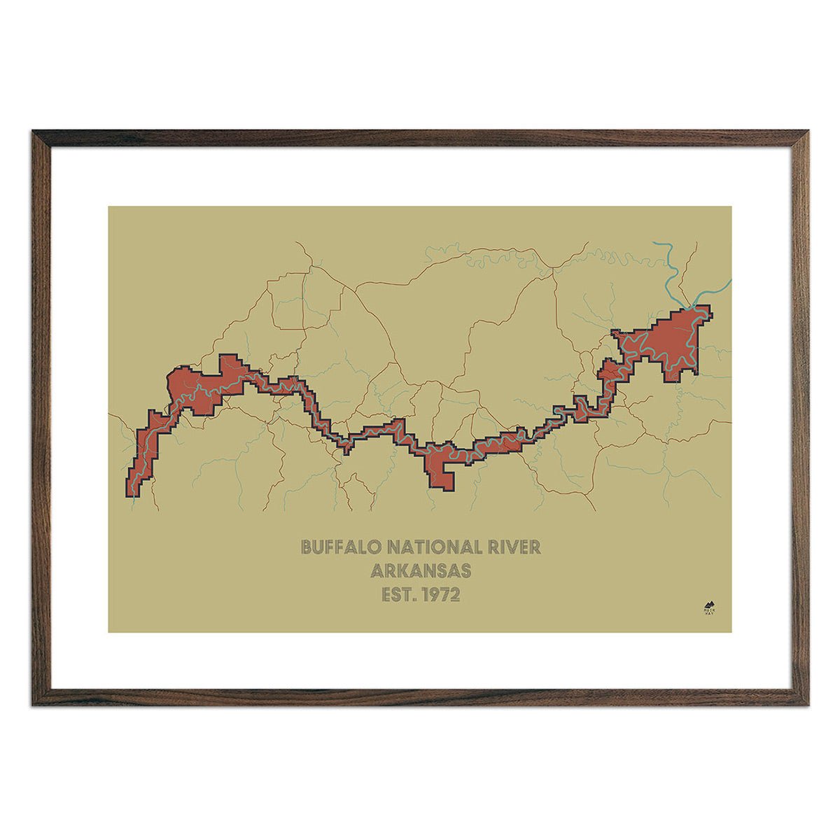
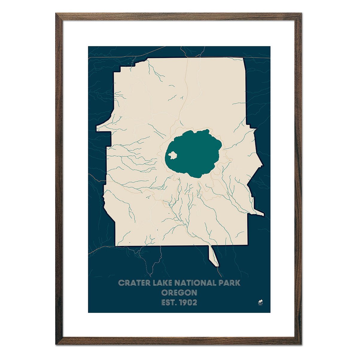
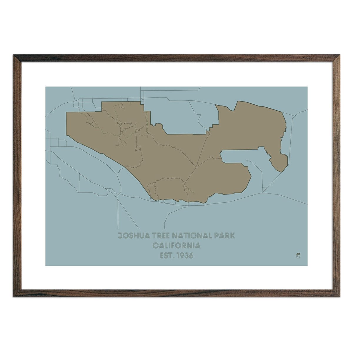
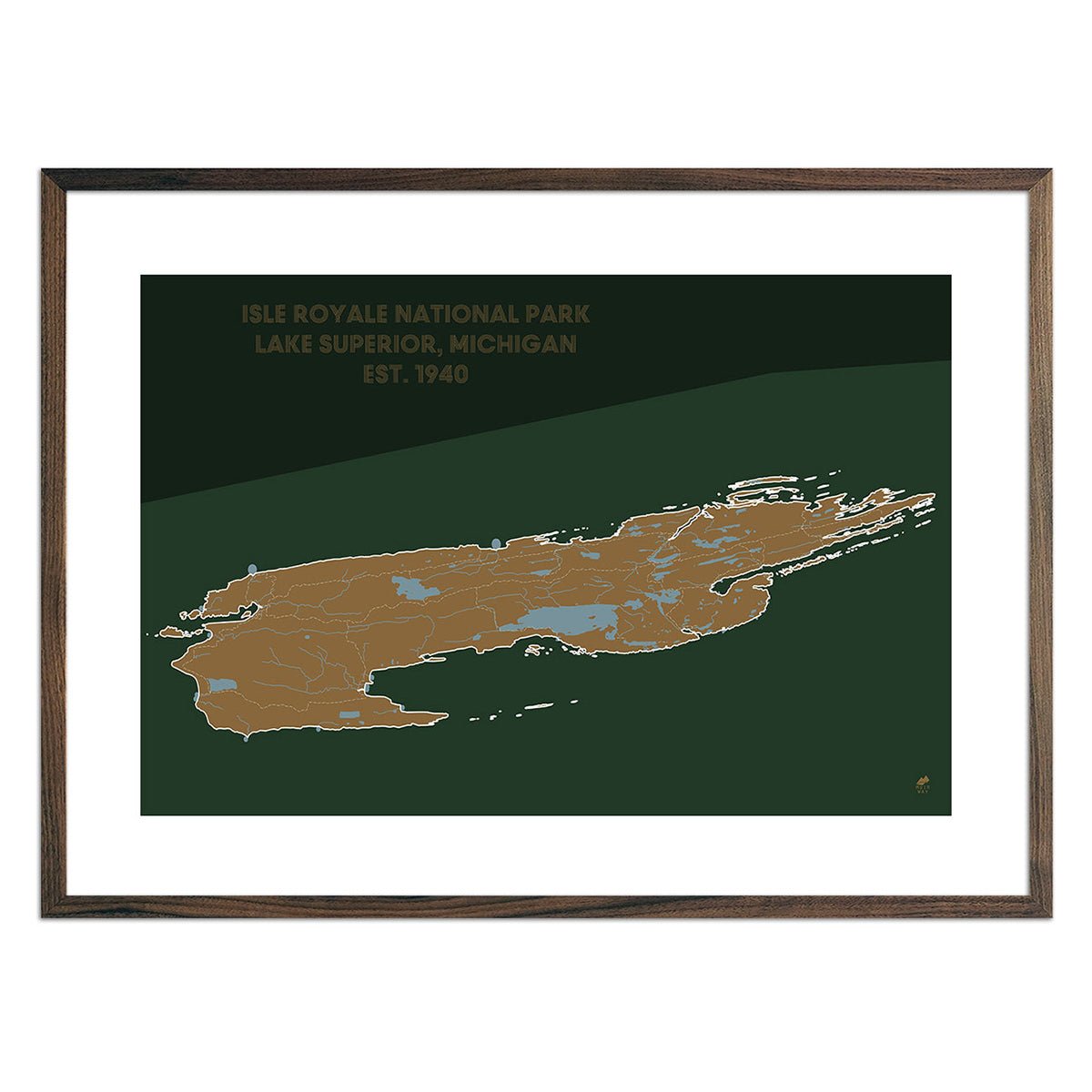
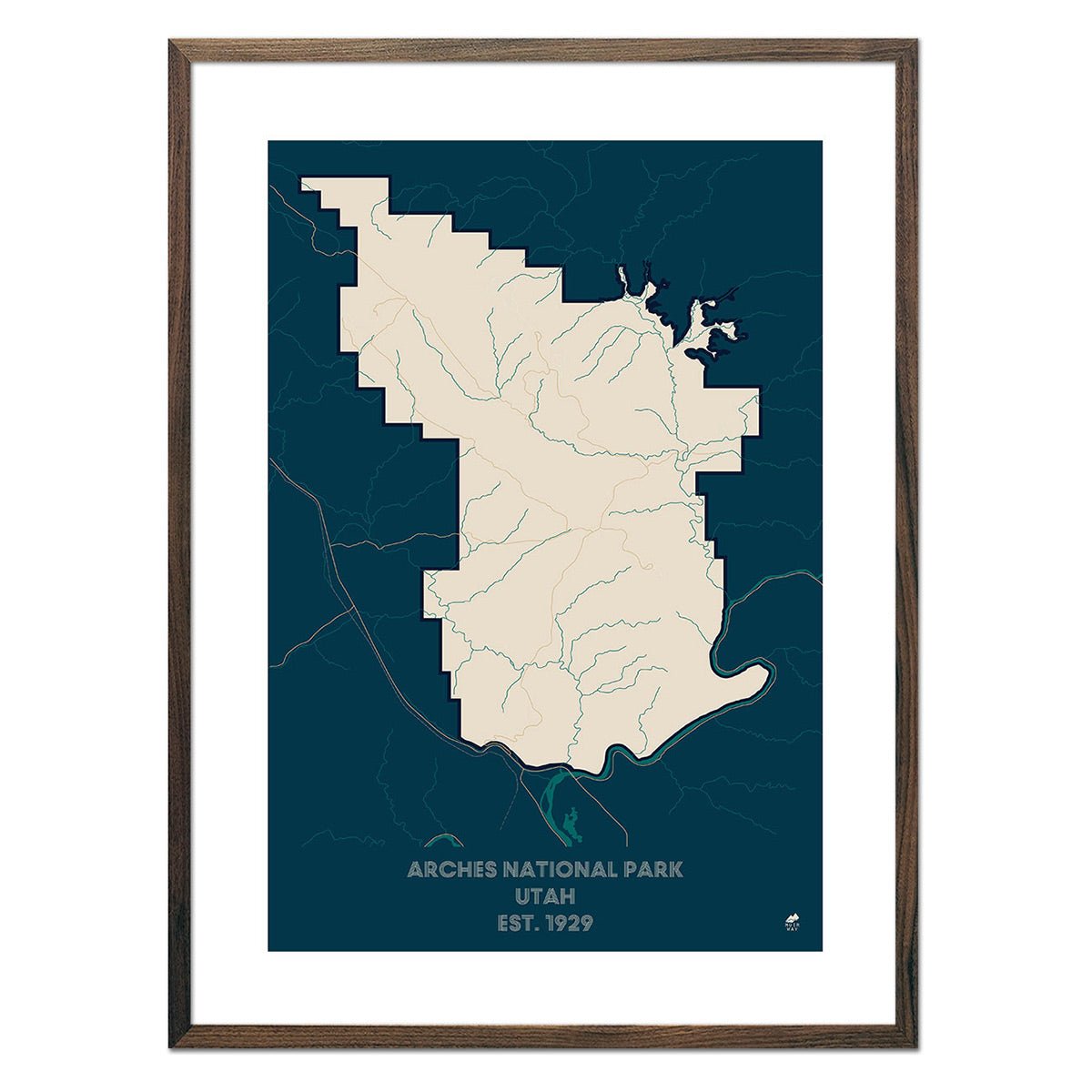
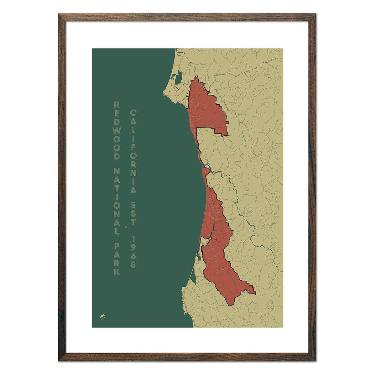
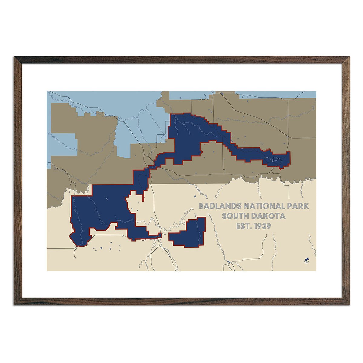
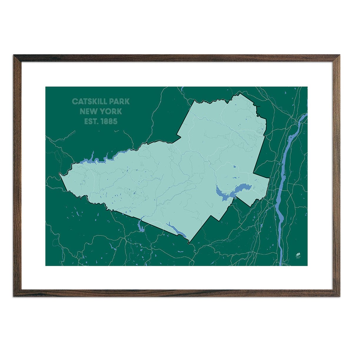
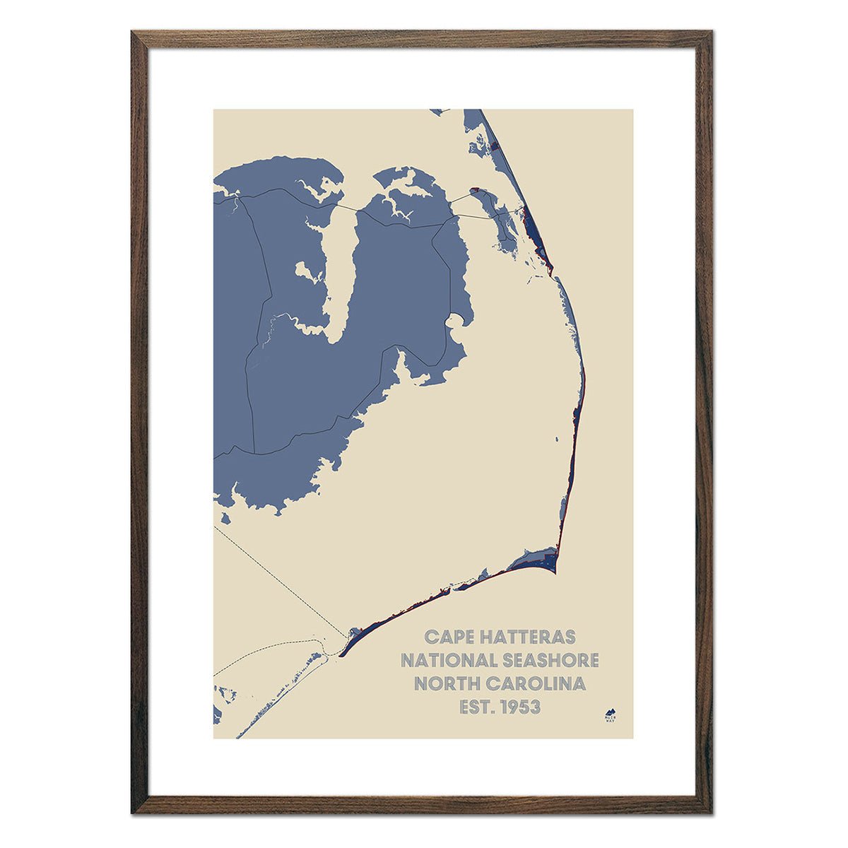
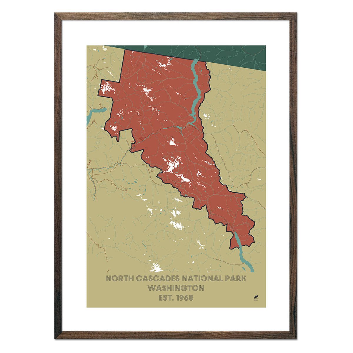
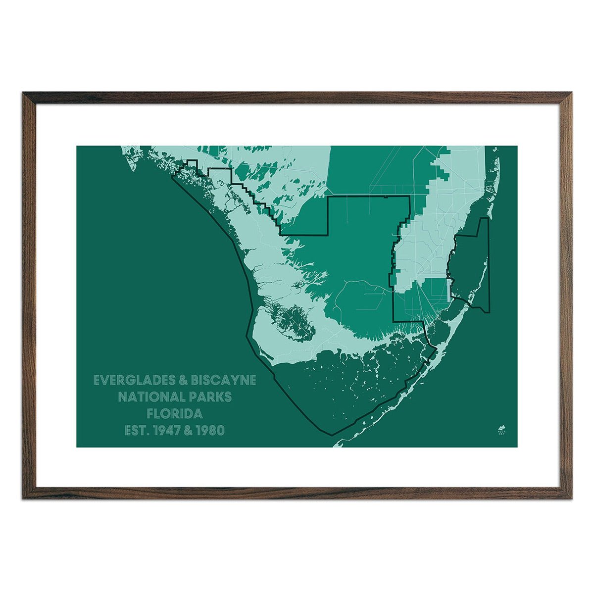
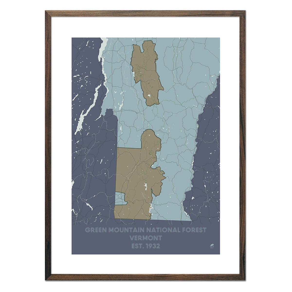

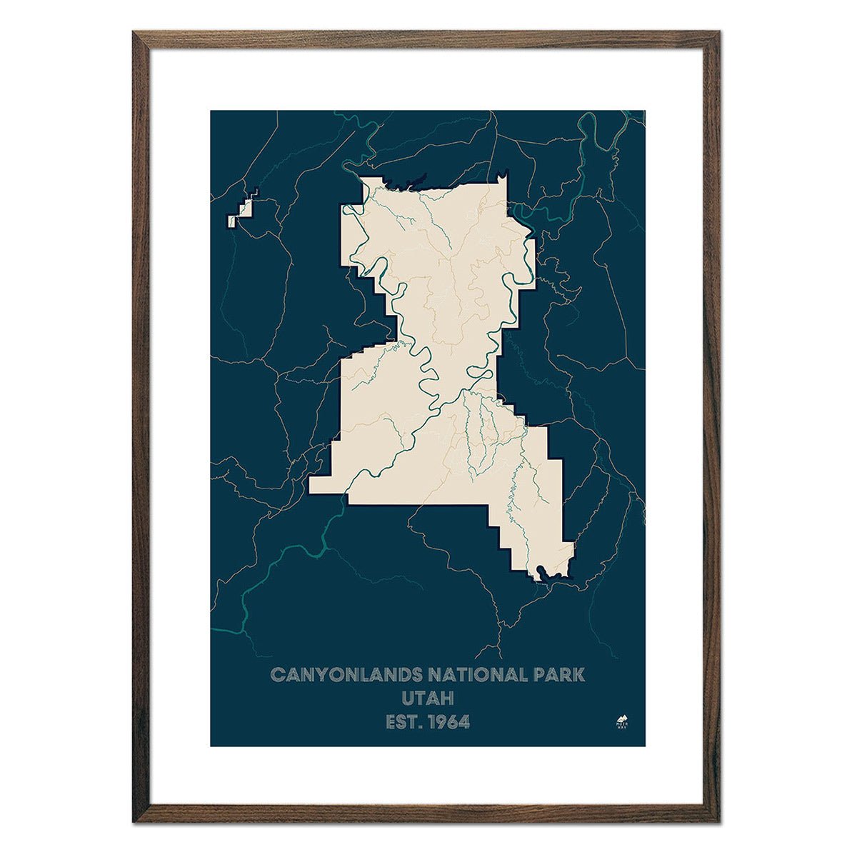
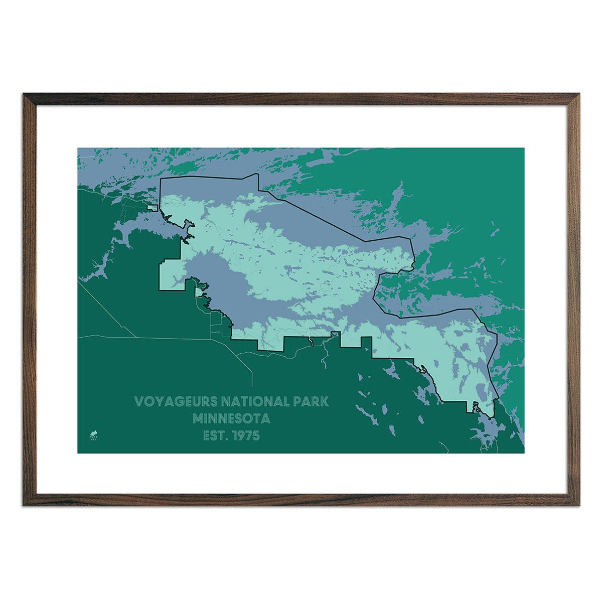
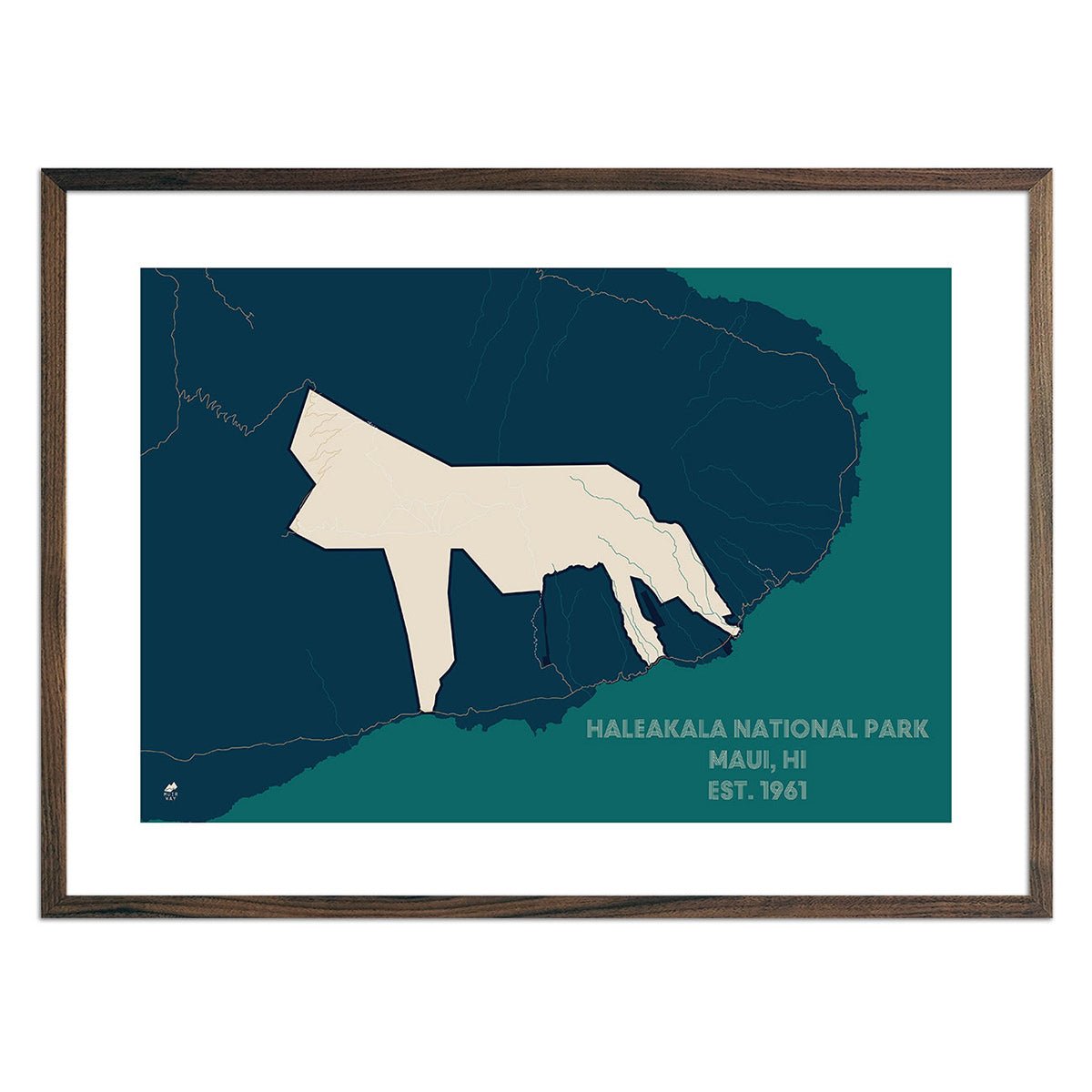
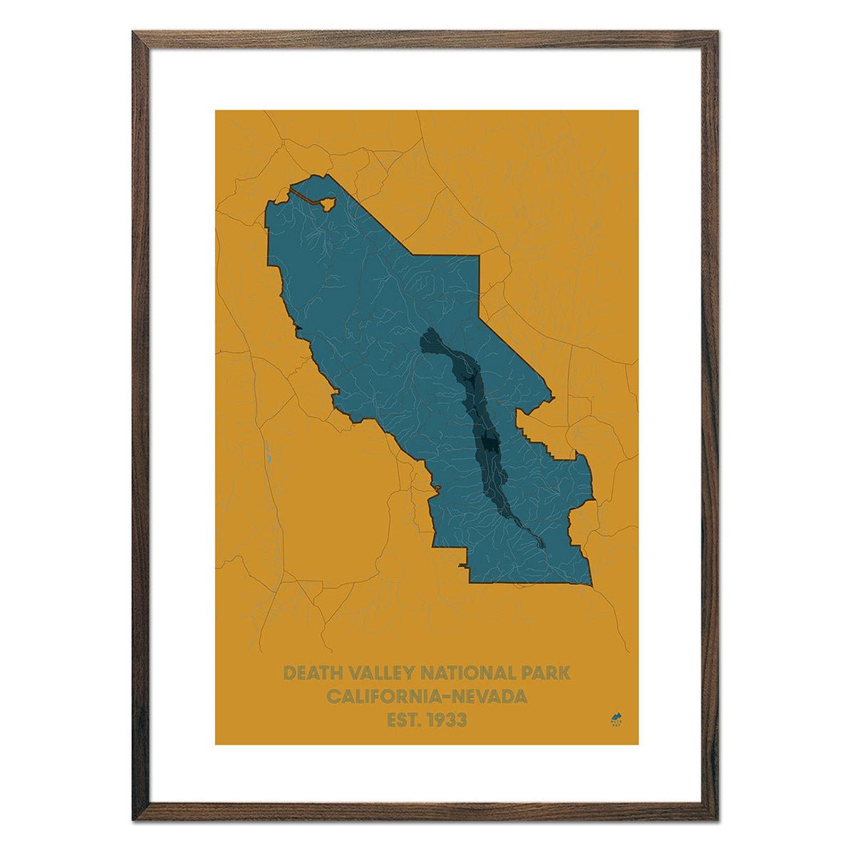
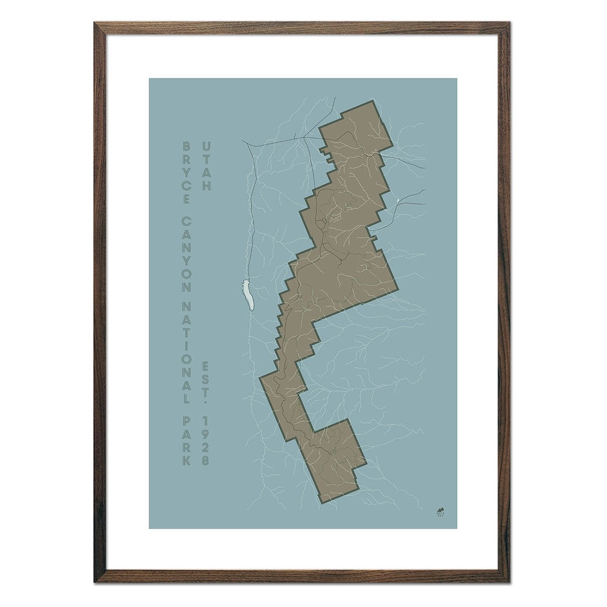
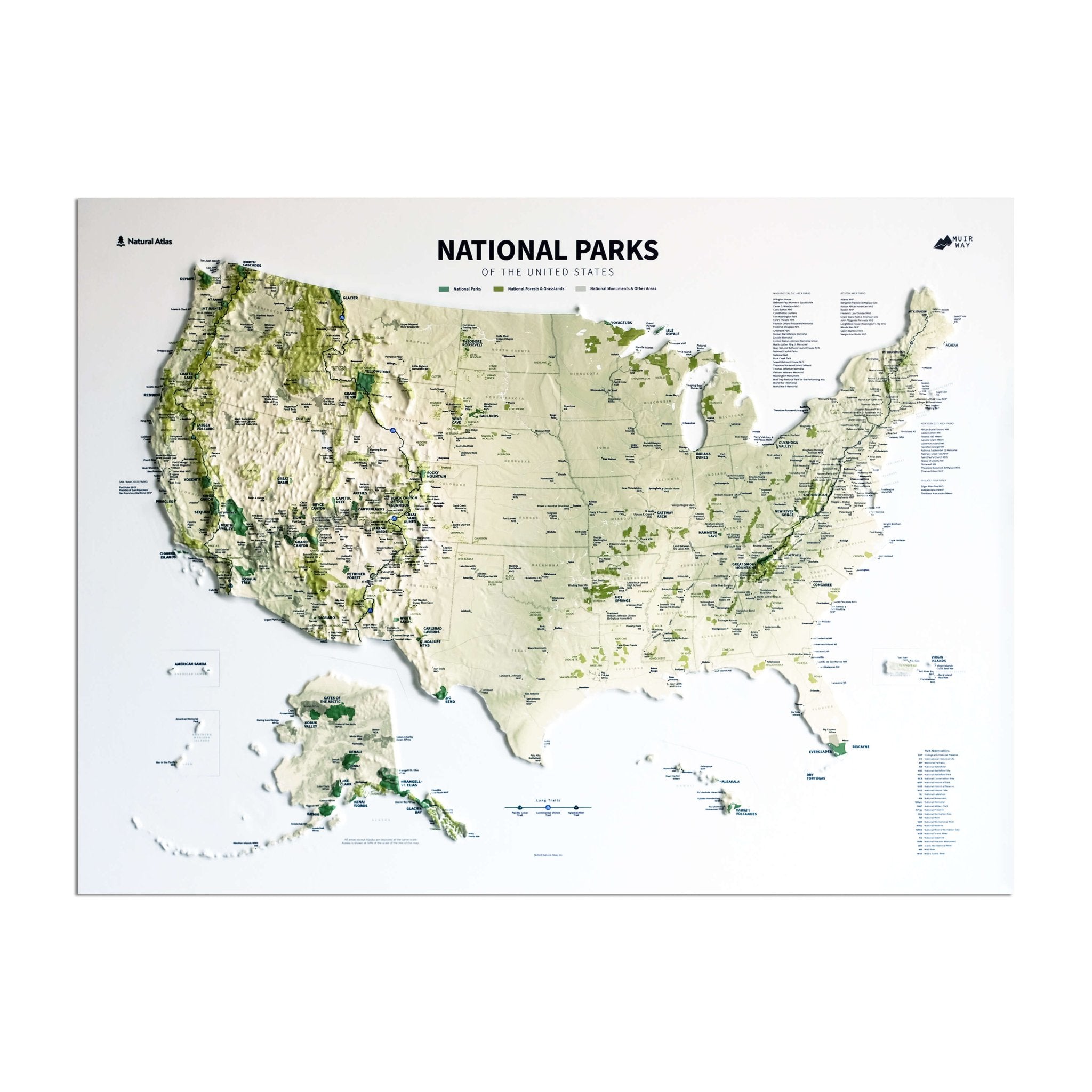
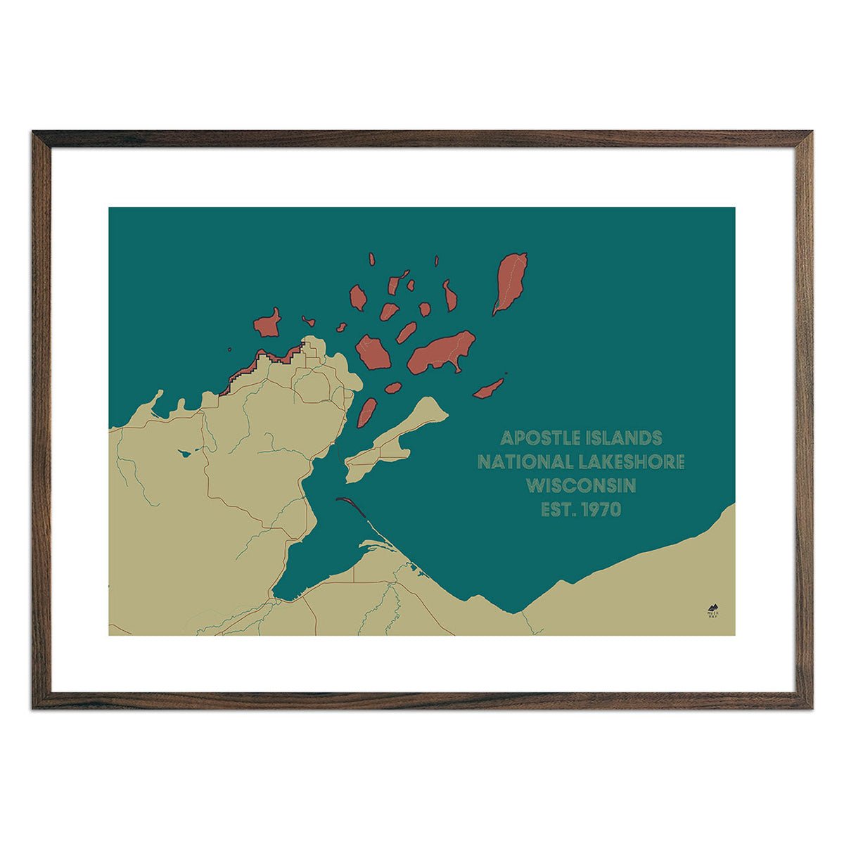
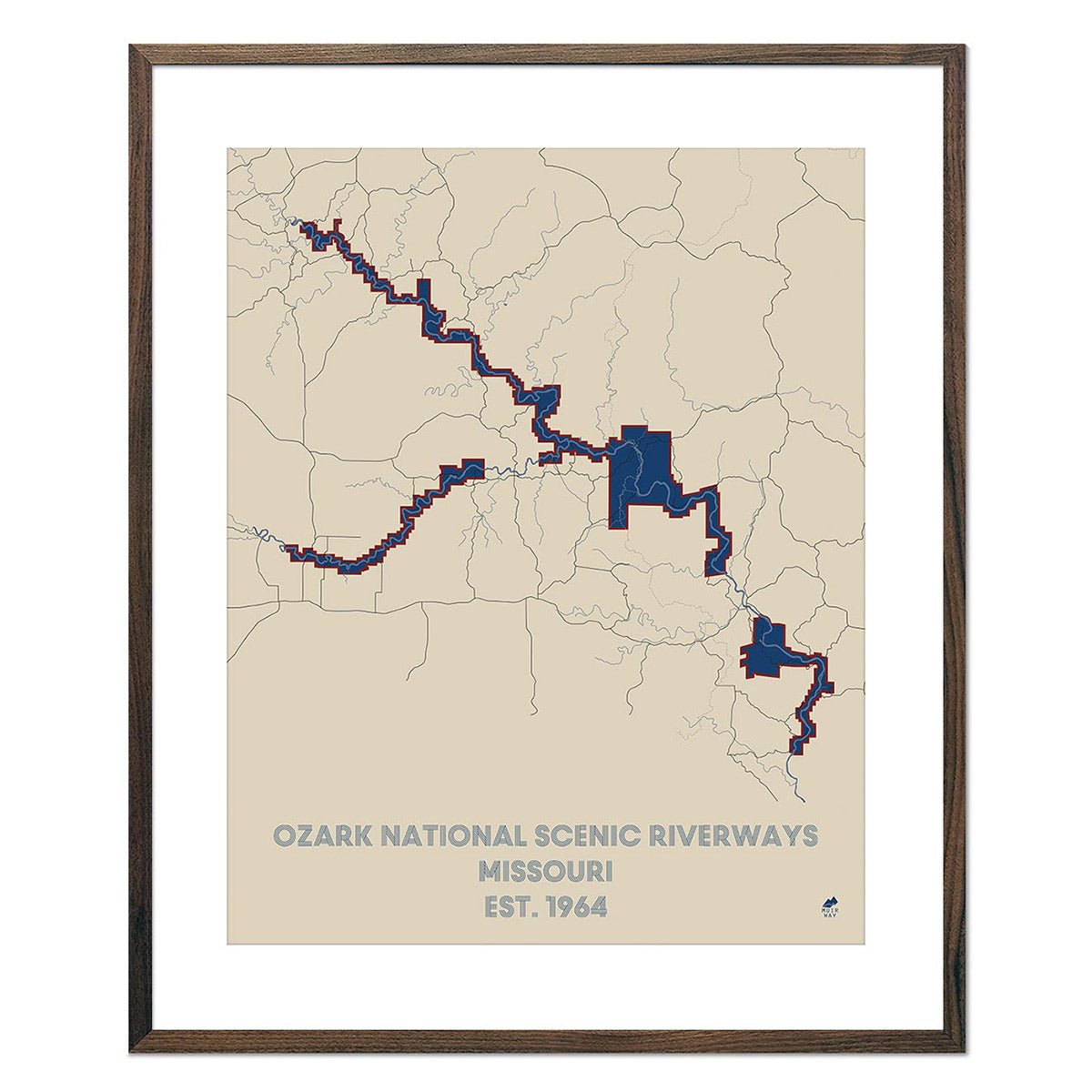
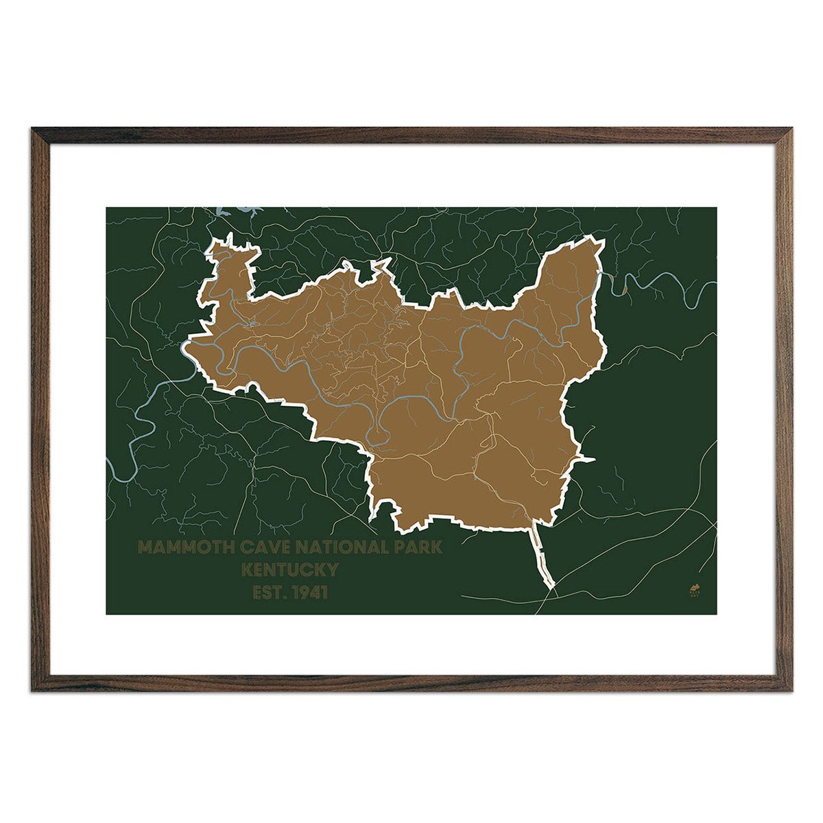
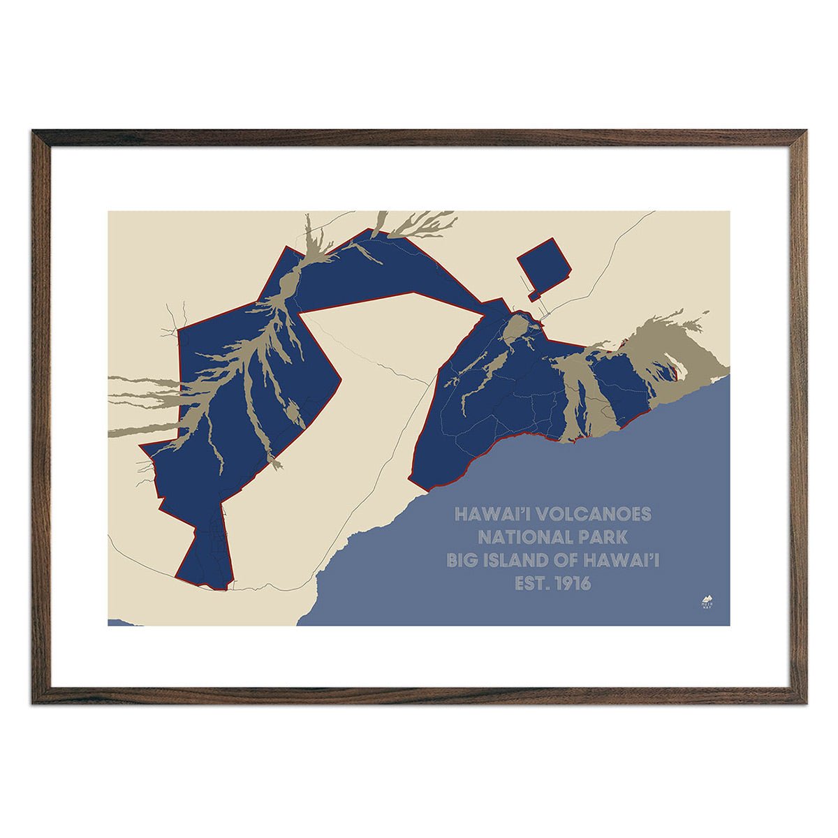
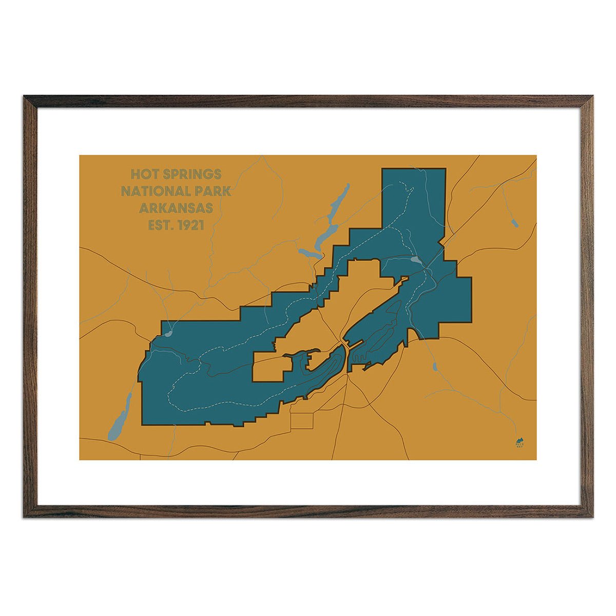
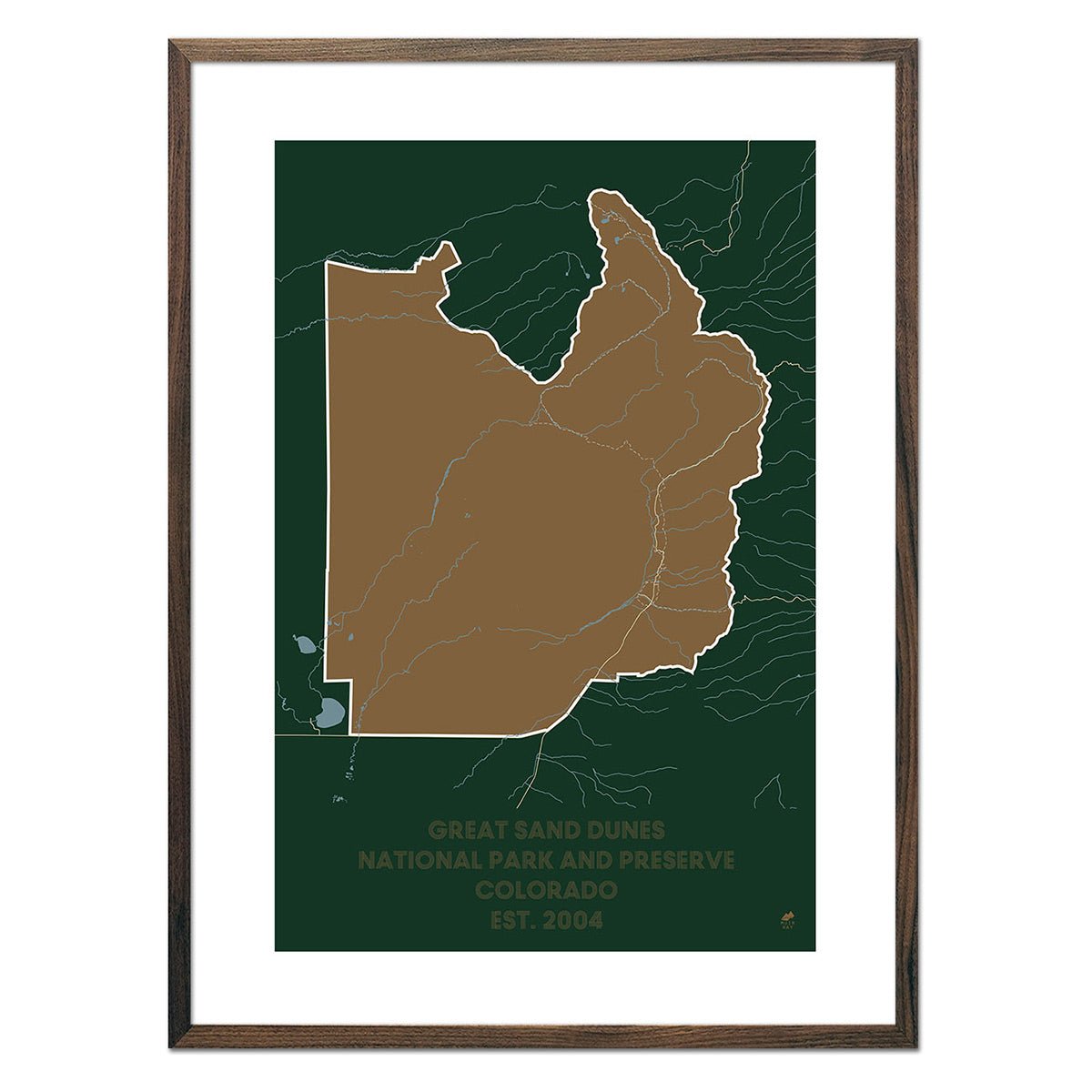
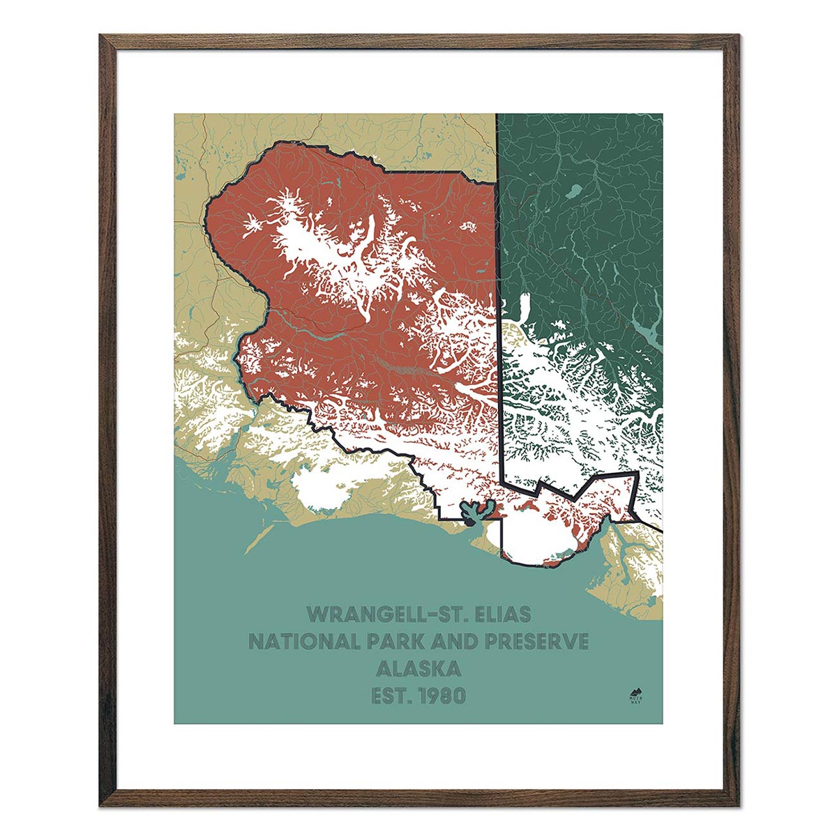
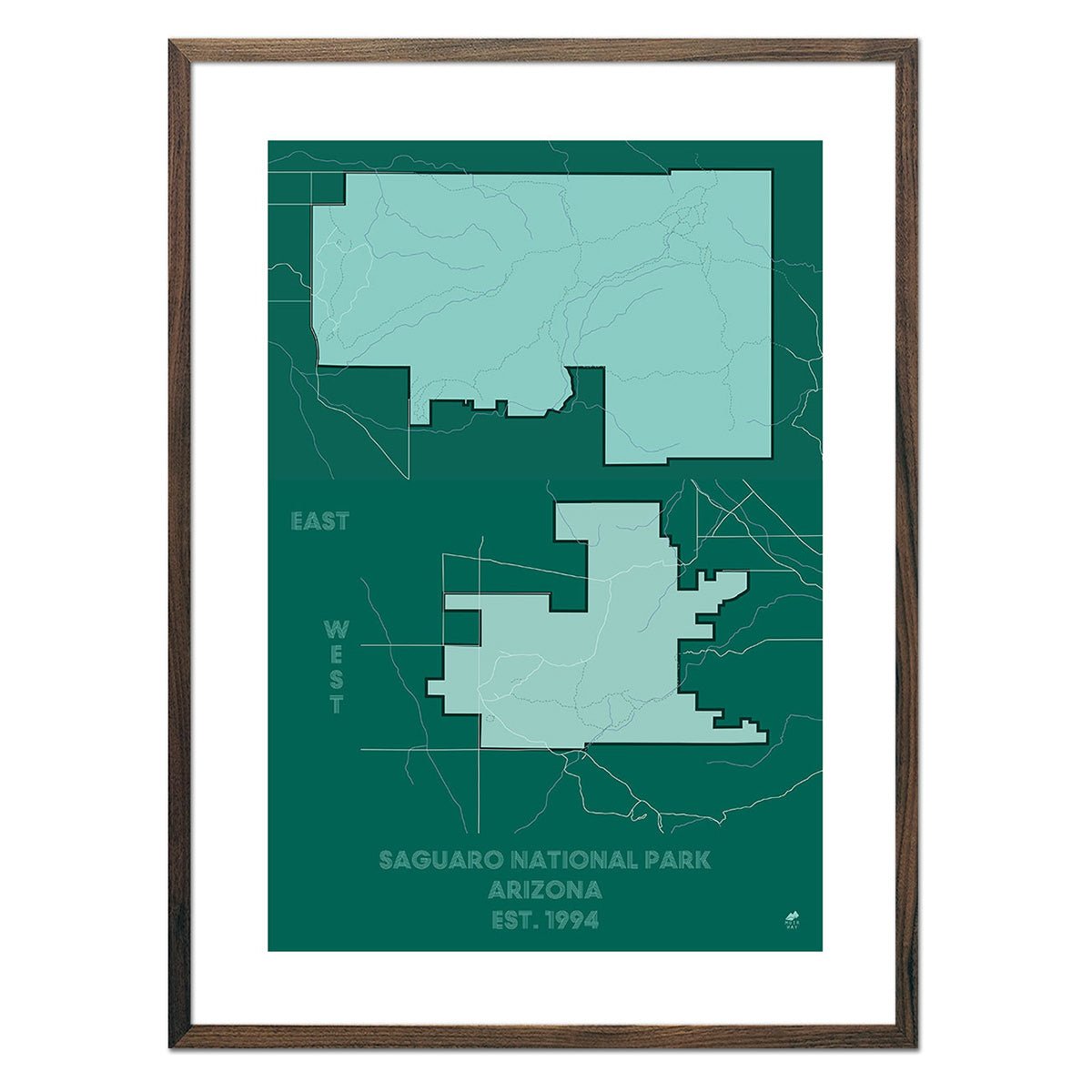
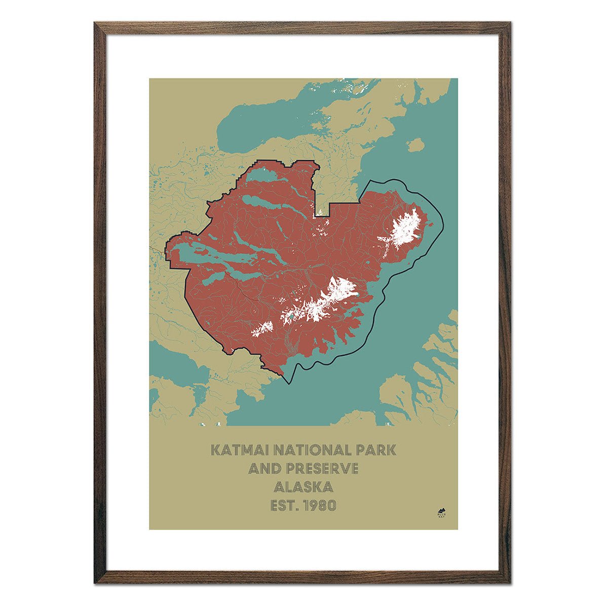
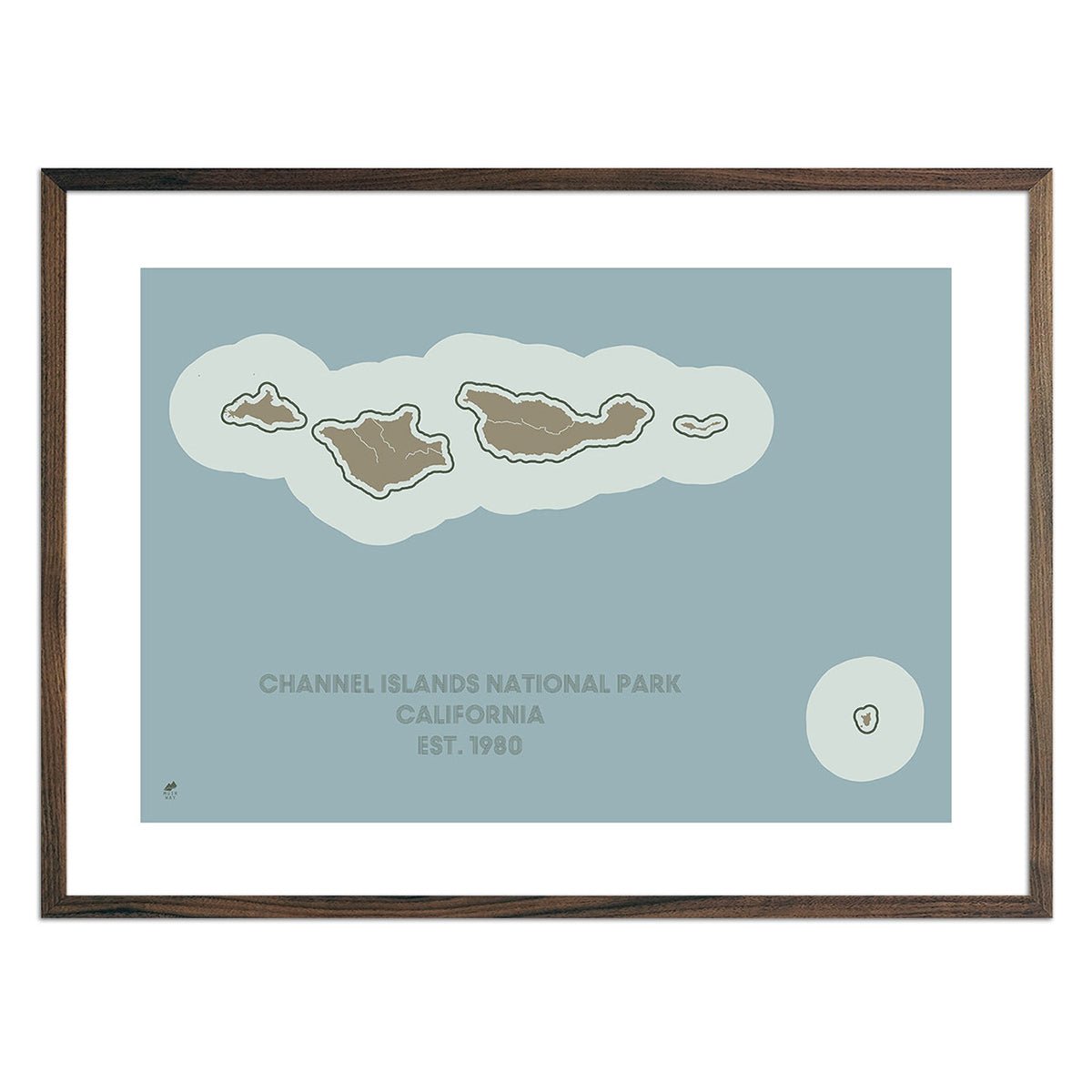
Every national park tells its story through terrain — the ridgelines of Glacier, the canyon walls of Zion, the calderas of Yellowstone. Our national park maps collection turns that terrain into wall art: shaded relief and 3D raised-relief prints built from real elevation data, so the mountains you hiked and the valleys you camped in are rendered with the same accuracy a park ranger's topo map would use, just made for display. Whether you're commemorating a trip or planning the next one, these maps put the park's actual landscape — not a stylized illustration of it — on your wall.
Muir Way's national park map collection currently includes shaded relief and 3D raised-relief maps of parks such as Yellowstone, Glacier, Zion, and Grand Canyon, each produced from digital elevation model (DEM) data and available on fine art paper, gallery-wrapped canvas, or framed in walnut or black. Maps are printed in-house on archival materials rated for decades of color retention. For a broader U.S. national park reference, see also Muir Way's dedicated guides to individual parks and regions on the Muir Way blog.