Real raised relief to explore through touch and feel.
- Size - unframed 24x28 inches
- Size - framed 25x29 inches
- Material - plastic mounted on foamboard
- Handmade real Walnut frame available
- Individually made in our San Diego, CA shop
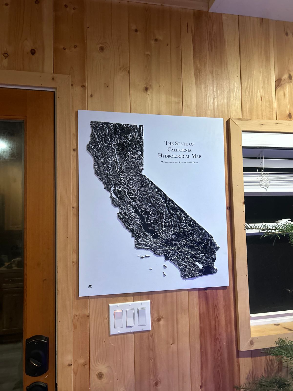
Our California Hydrological Map - now in 3D, combines the state's raised topography with the state's rivers, streams, and lakes.
Water is the lifeblood of any state, and its flow reveals the story of a place. Our California Hydrological Map illustrates, in striking detail, the state’s rivers and streams—how they merge, diverge, and sustain the land.
Every river, even intermittent streams, is mapped, along with bodies of water over 0.2 miles wide. We use the Strahler Stream Order to show stream hierarchy, thickening rivers as they gain tributaries—highlighting both the beauty and interconnectedness of California’s waterways.
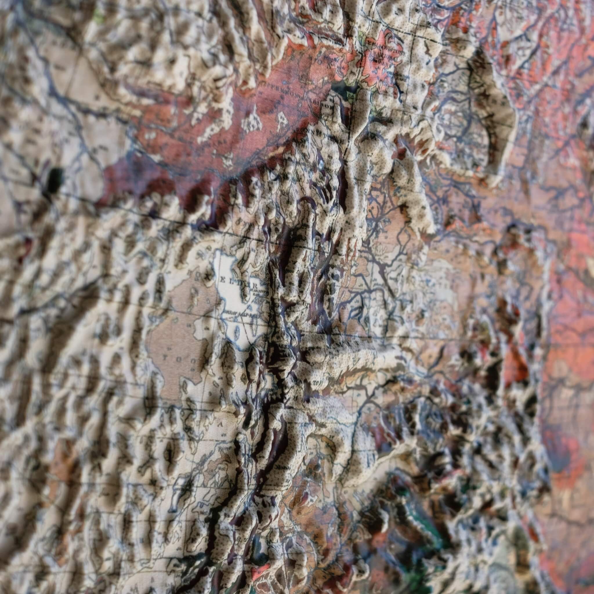
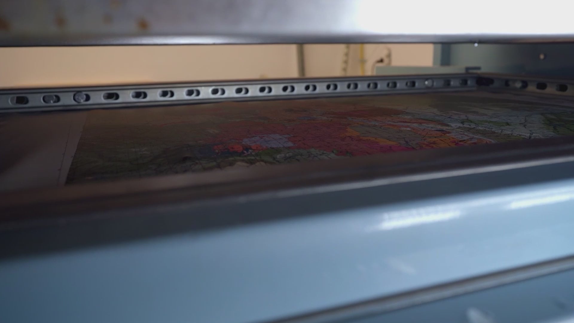
This unique map undergoes a meticulous process where it is printed, heated, and vacuum-formed over an intricately detailed 3D mold. The result is a map that allows you to visually and tactilely explore the diverse terrain of the state, from the Sierra Mountains to the Channel Islands.
Framed maps do not have glass or acrylic over them, so you can touch the map and explore its intricacies.