


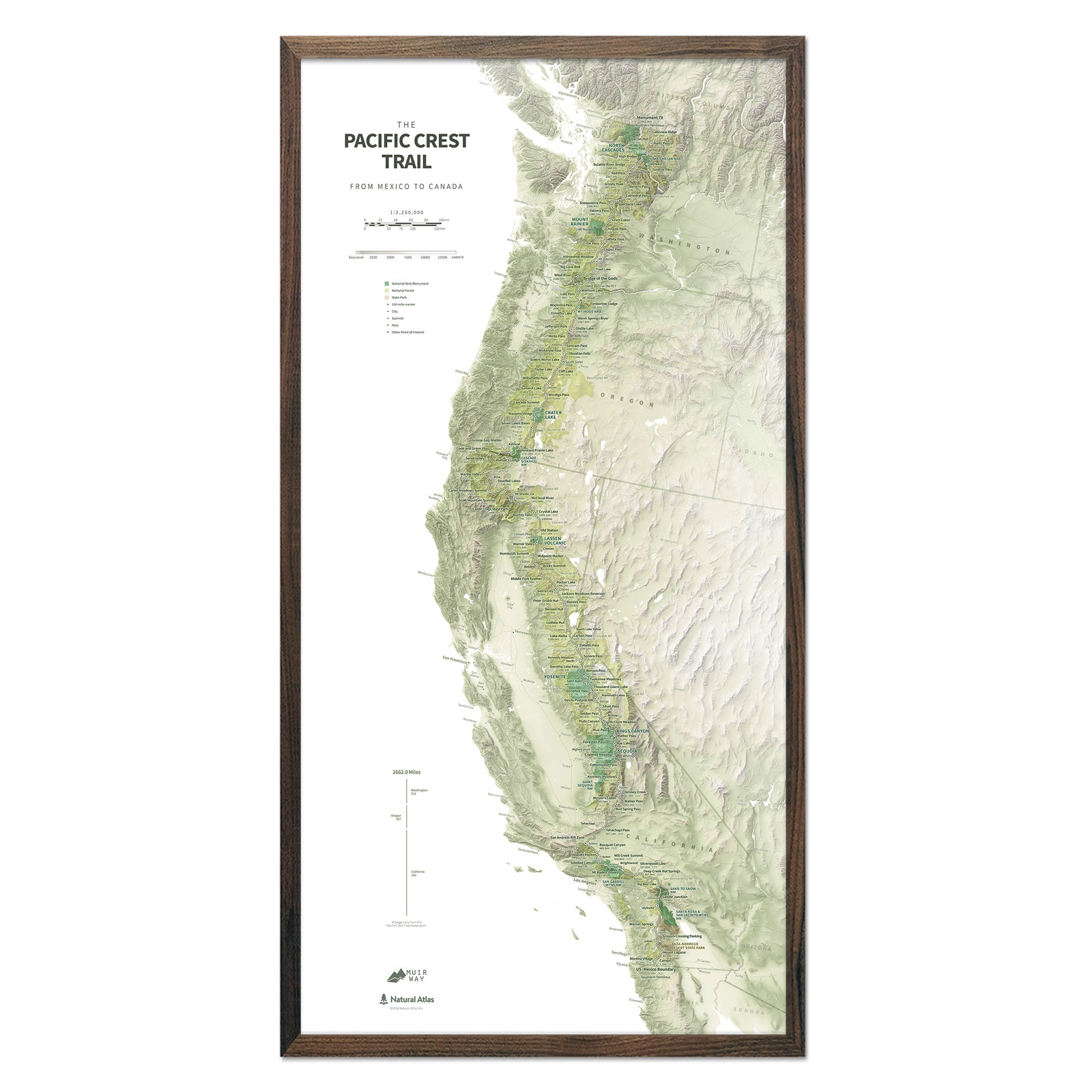

Pacific Crest Trail Map Wall Art
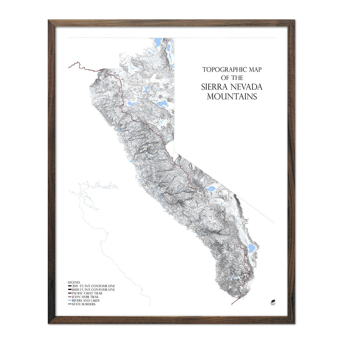
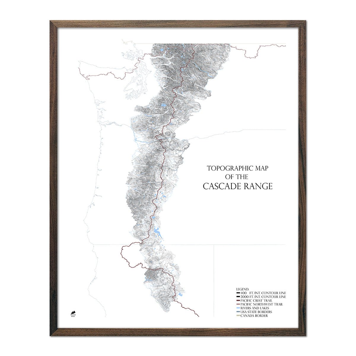
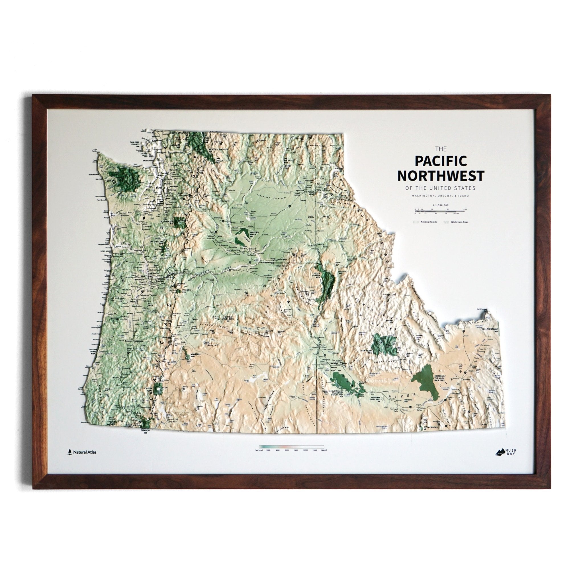
The Pacific Crest Trail runs 2,650 miles from the Mexican border at Campo, California to Manning Park, British Columbia. Muir Way's PCT map collection features topographic relief art and elevation prints that span the Sierra Nevada, Cascades, and high desert landscapes of the American West.
The PCT passes through 25 national forests, 7 national parks, and some of the most dramatic terrain in North America — including the John Muir Trail corridor through the Sierra Nevada. Each map is printed on archival fine art paper to last generations.
About the Pacific Crest Trail
Designated a National Scenic Trail in 1968, the PCT gained international recognition as the subject of Cheryl Strayed's Wild. The trail's California section alone — 1,700 miles — traverses terrain that inspired John Muir to write: "The clearest way into the Universe is through a forest wilderness."
