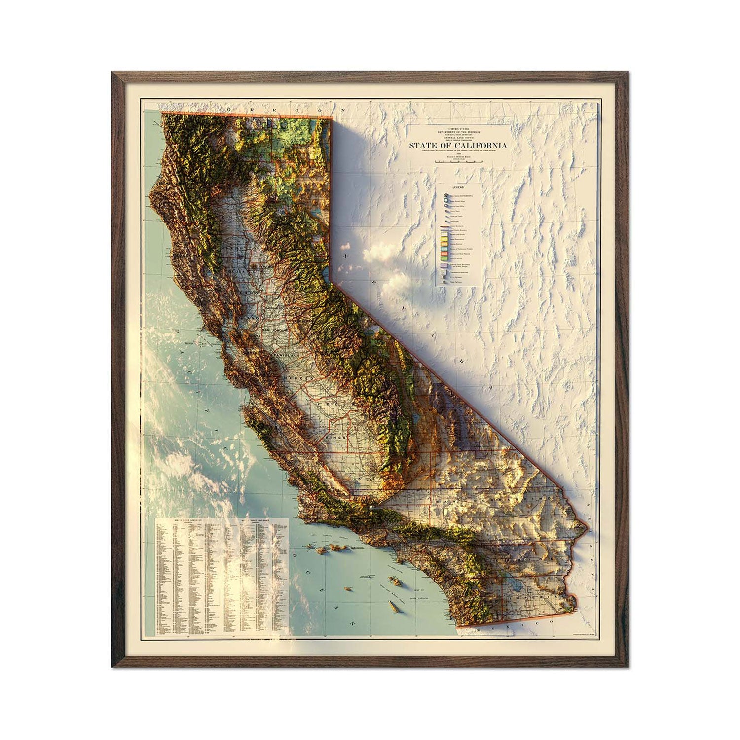
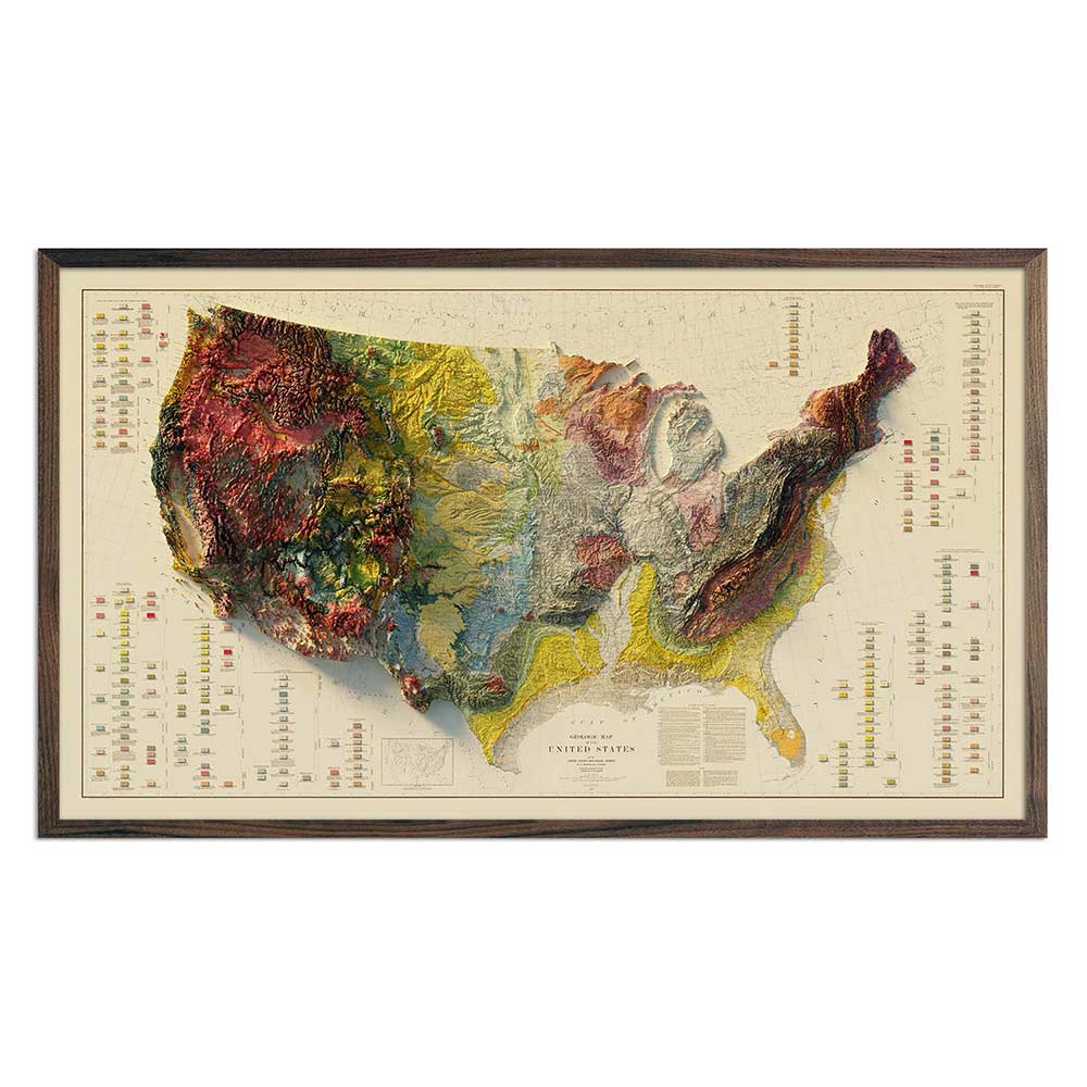
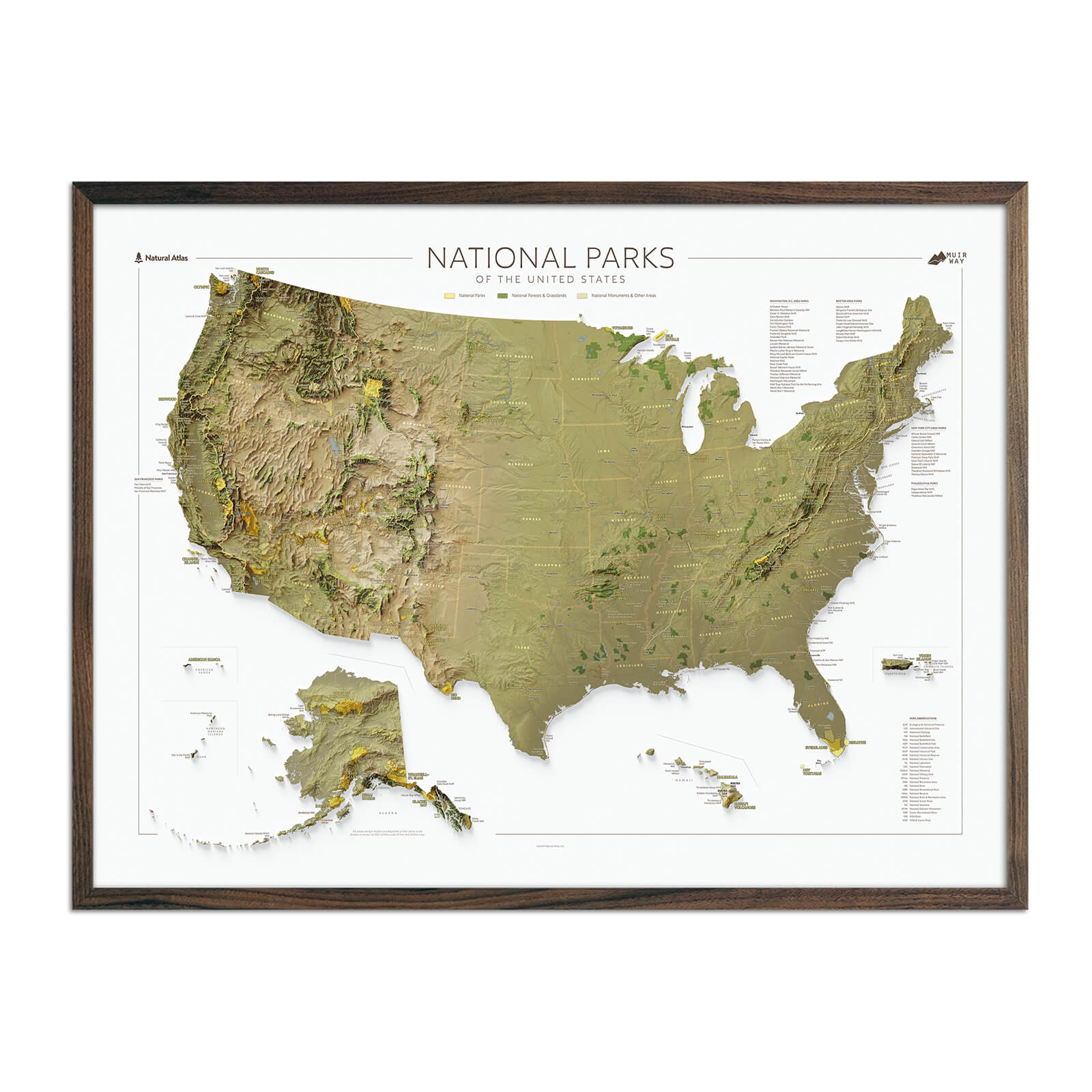
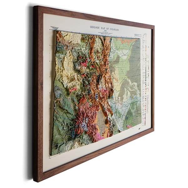
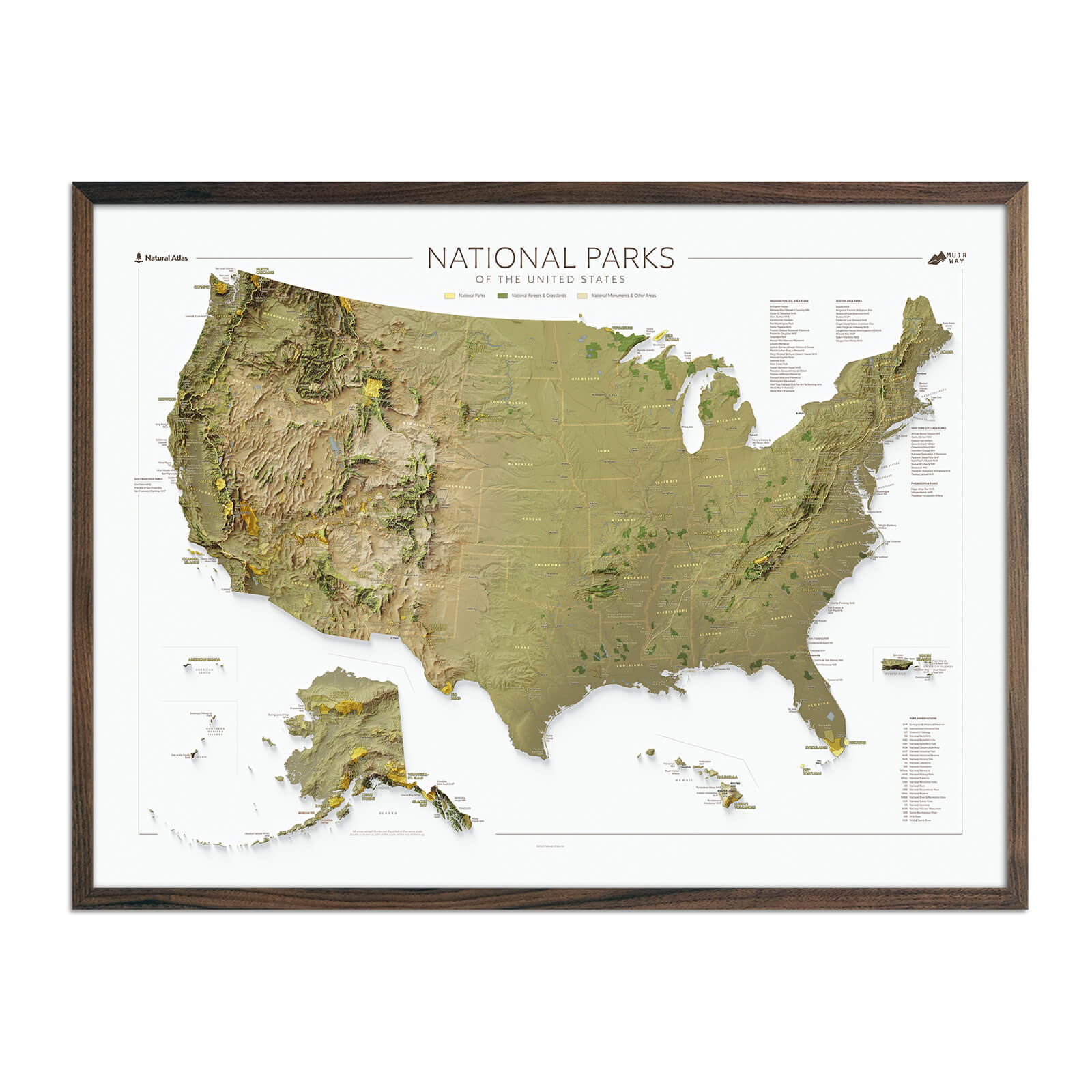
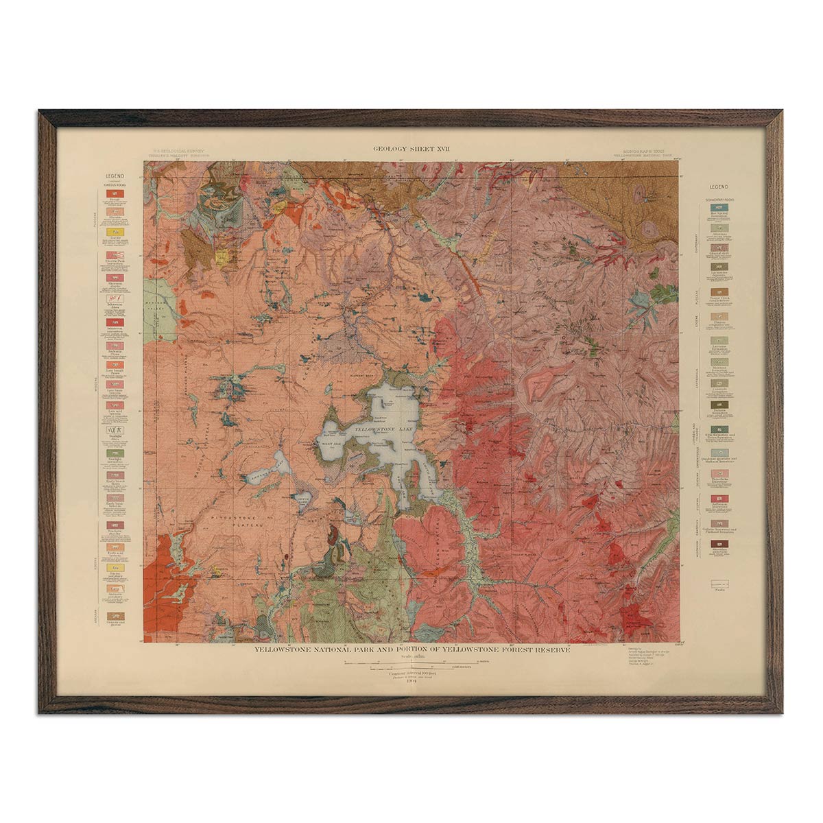
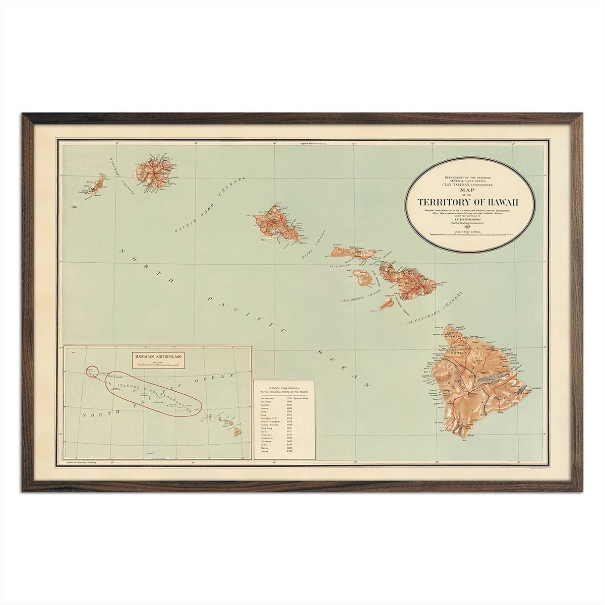
Real raised relief to explore through touch and feel.
- Size - unframed 24x32 inches
- Size - framed 25x33 inches
- Material - plastic mounted on foamboard
- Handmade real Walnut frame available
- Individually made in our San Diego, CA shop
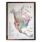
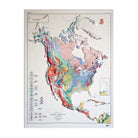
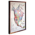
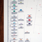
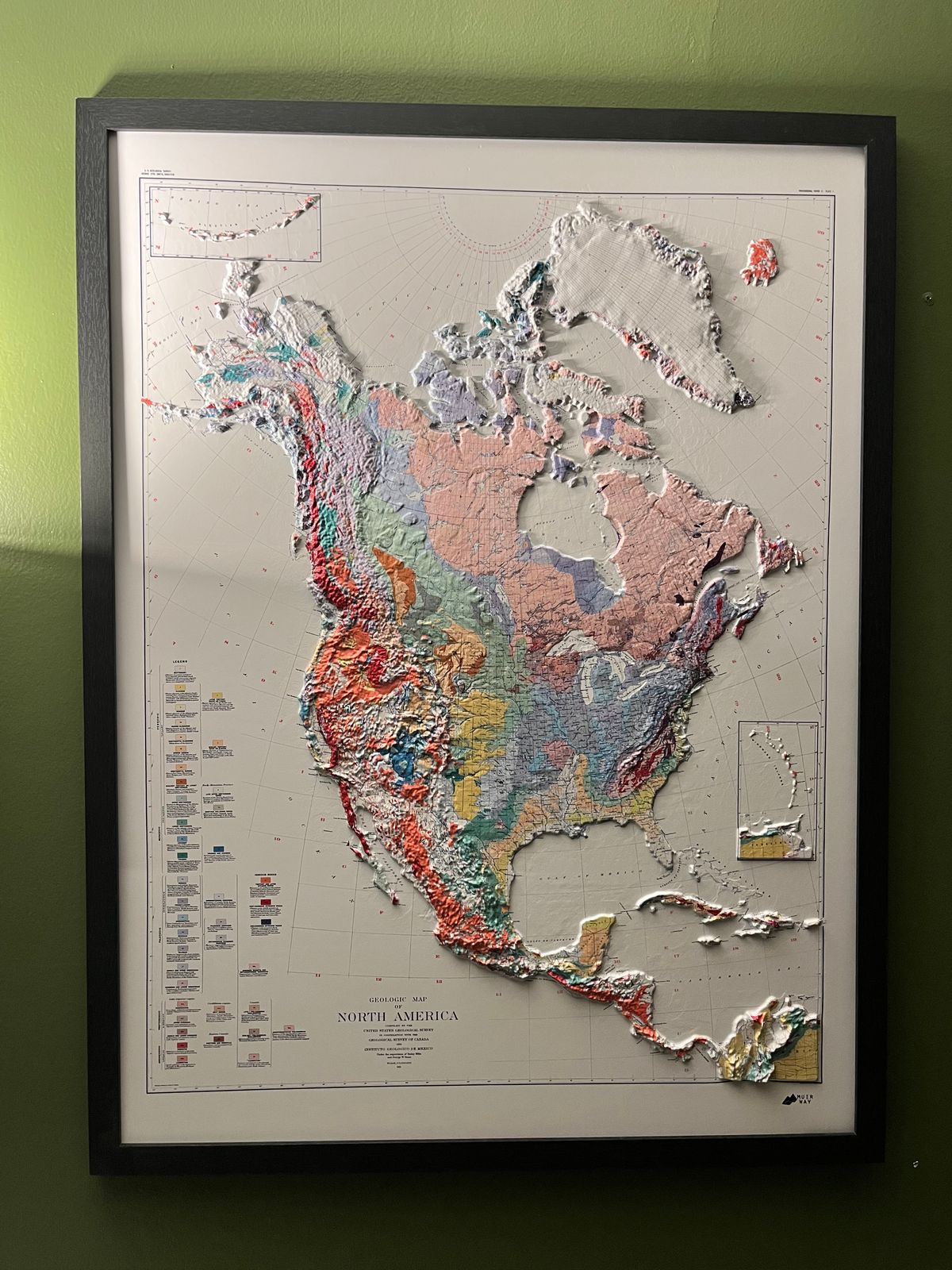
The colors crossing this map aren't decoration — they're a plain-language key to the rock beneath your feet, each hue standing for a different era and type of bedrock the U.S. Geological Survey mapped across the continent. It happens that the same scientific color-coding that tells a geologist where granite gives way to sedimentary basin also produces one of the most striking compositions in our collection: at the heart of the continent sits the Canadian Shield, a vast core of some of the oldest exposed rock on Earth, rendered as a broad, steady field of color that the younger, more vividly banded mountain belts of the Rockies and Appalachians seem to wrap around on either side. This 1911 map was the U.S. Geological Survey's effort to bring decades of 19th-century survey work — expeditions that had pushed across the American West and the Canadian north — together into a single, unified portrait of North America's geology for the first time.
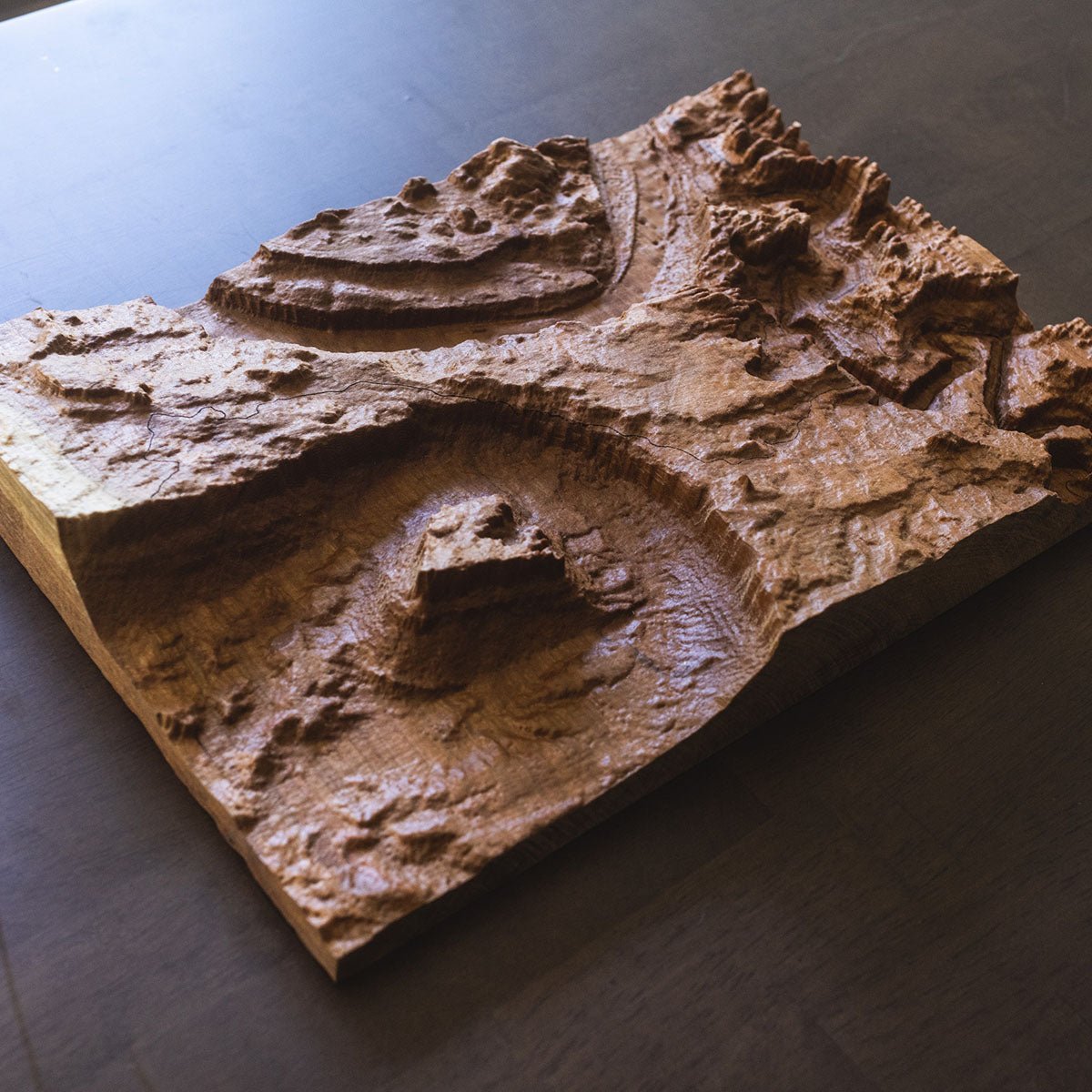
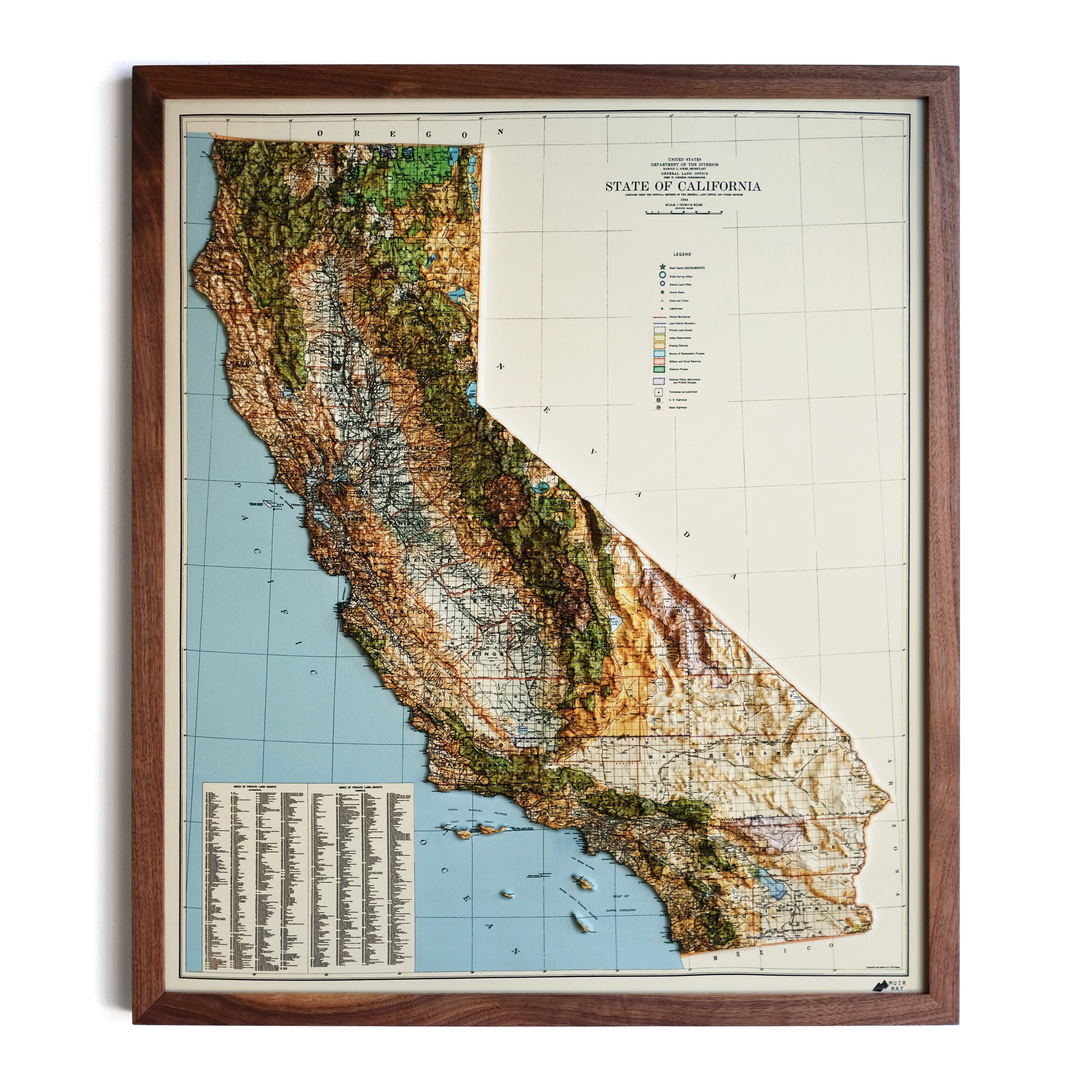
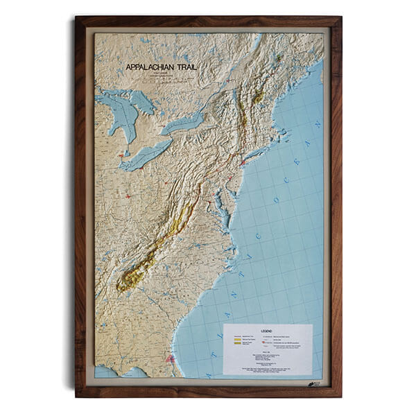
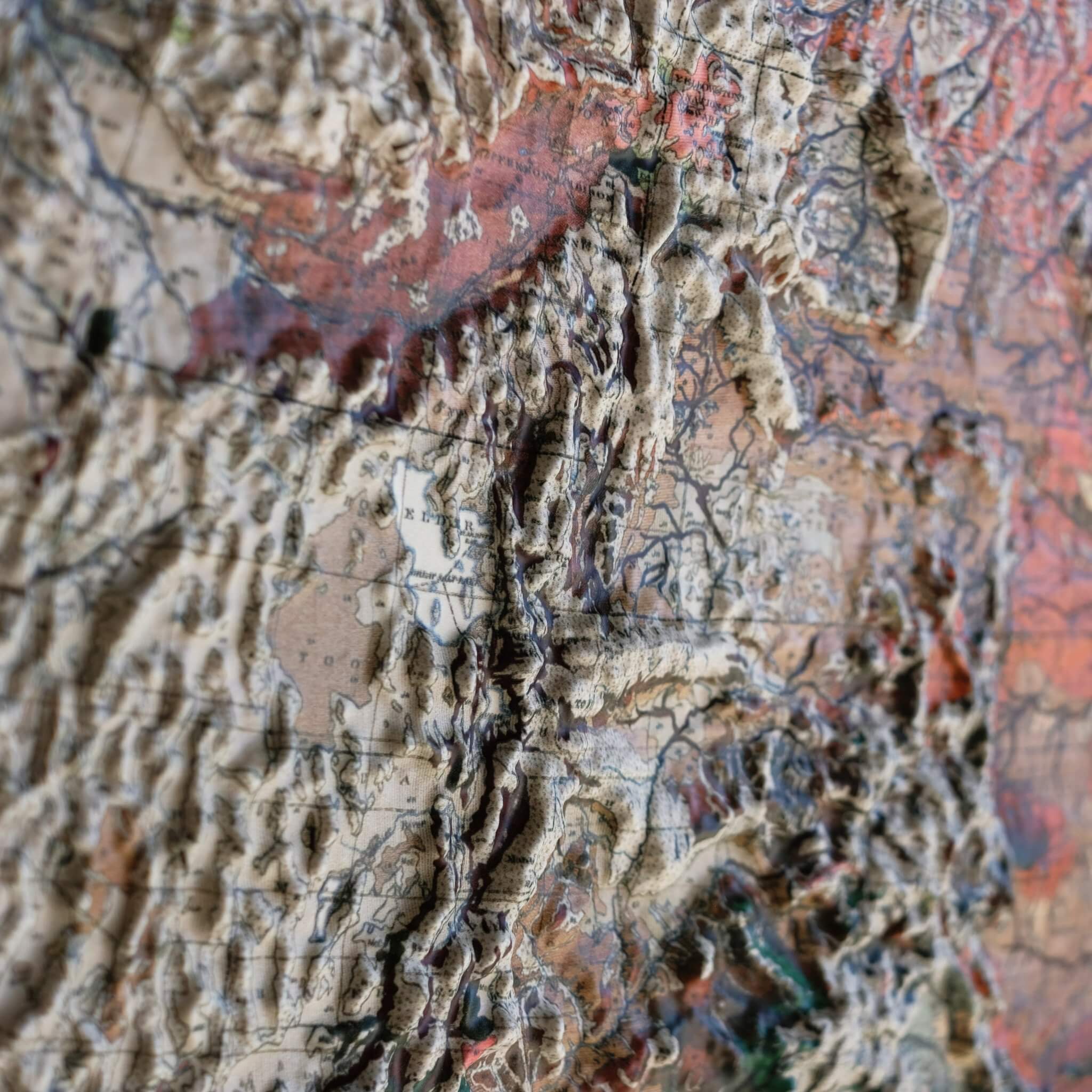
This 3D version of the map is an original creation by Muir Way: the printed map is heated and vacuum-formed over an intricately detailed 3D mold, so the continent's mountain ranges and lowlands rise in genuine, touchable relief rather than staying flat on the page.
Framed maps do not have glass or acrylic over them, so you can touch the map and explore its intricacies.
Prefer this continent without the geologic color key? We also make a 1965 Shaded Relief Map of North America in our flat Vintage Relief collection.
PLEASE NOTE
You will love this map if you embrace its anomalies. When the plastic is heated and stretched over the 3D mold, the image may be altered, causing slightly warped lines and text around higher elevations. Additionally, the modern data we used for the raised relief is much more accurate than the mapping techniques available at the time this map was originally produced. You will see differences in the Canadian Arctic Archipelago and Greenland.