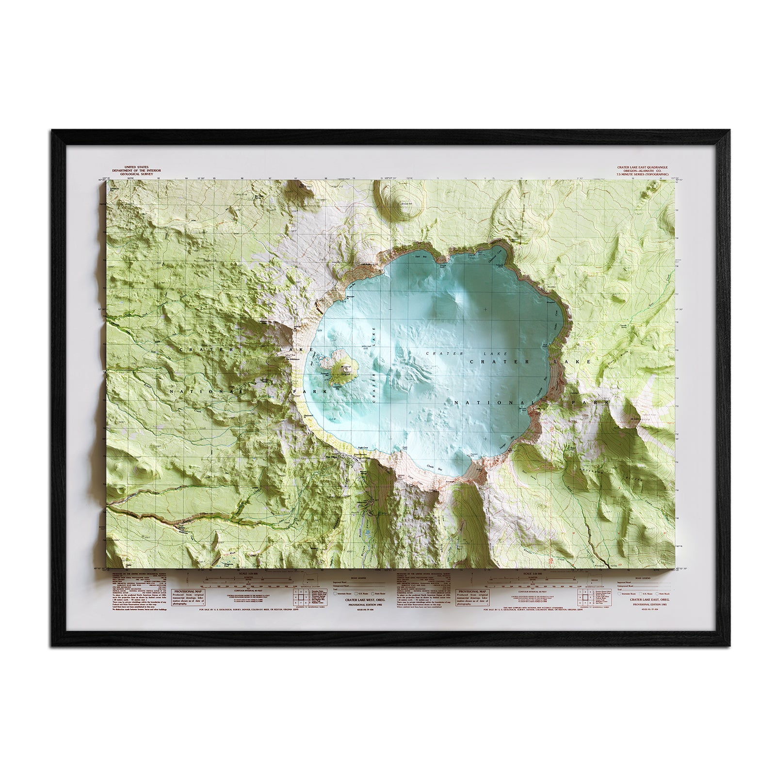
Crater Lake owes its existence to the collapse of Mount Mazama roughly 7,700 years ago, when a massive eruption emptied the volcano's magma chamber and its summit caved in on itself, leaving a caldera that slowly filled with rain and snowmelt. At 1,943 feet, it's the deepest lake in the United States. The site became a national park in 1902 after a seventeen-year campaign led by local journalist William Gladstone Steel, who first saw the lake in 1885 and spent the rest of his life fighting to protect it.
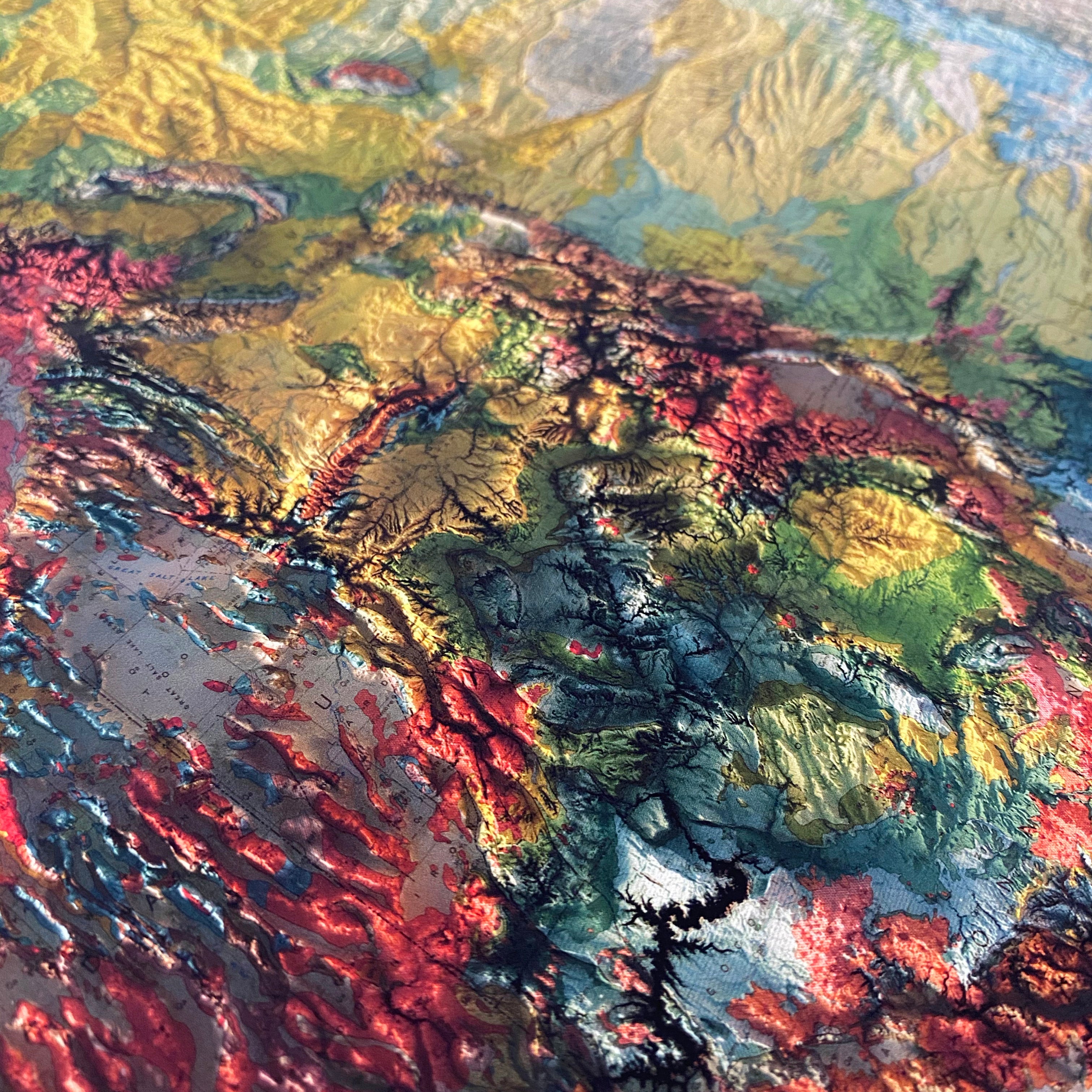
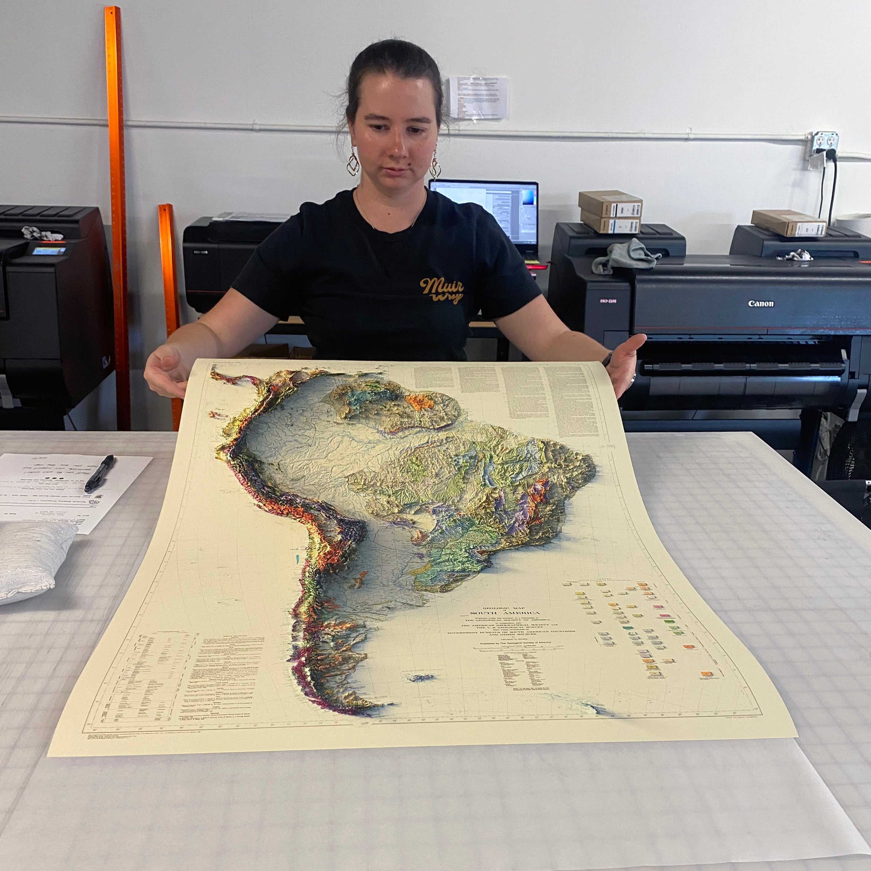
We georeferenced the original 1985 survey and applied modern digital elevation data to add true shaded relief to Crater Lake's caldera rim and surrounding forest. The shading is printed flat on the paper — not raised or textured — so it frames and hangs like any fine art print.
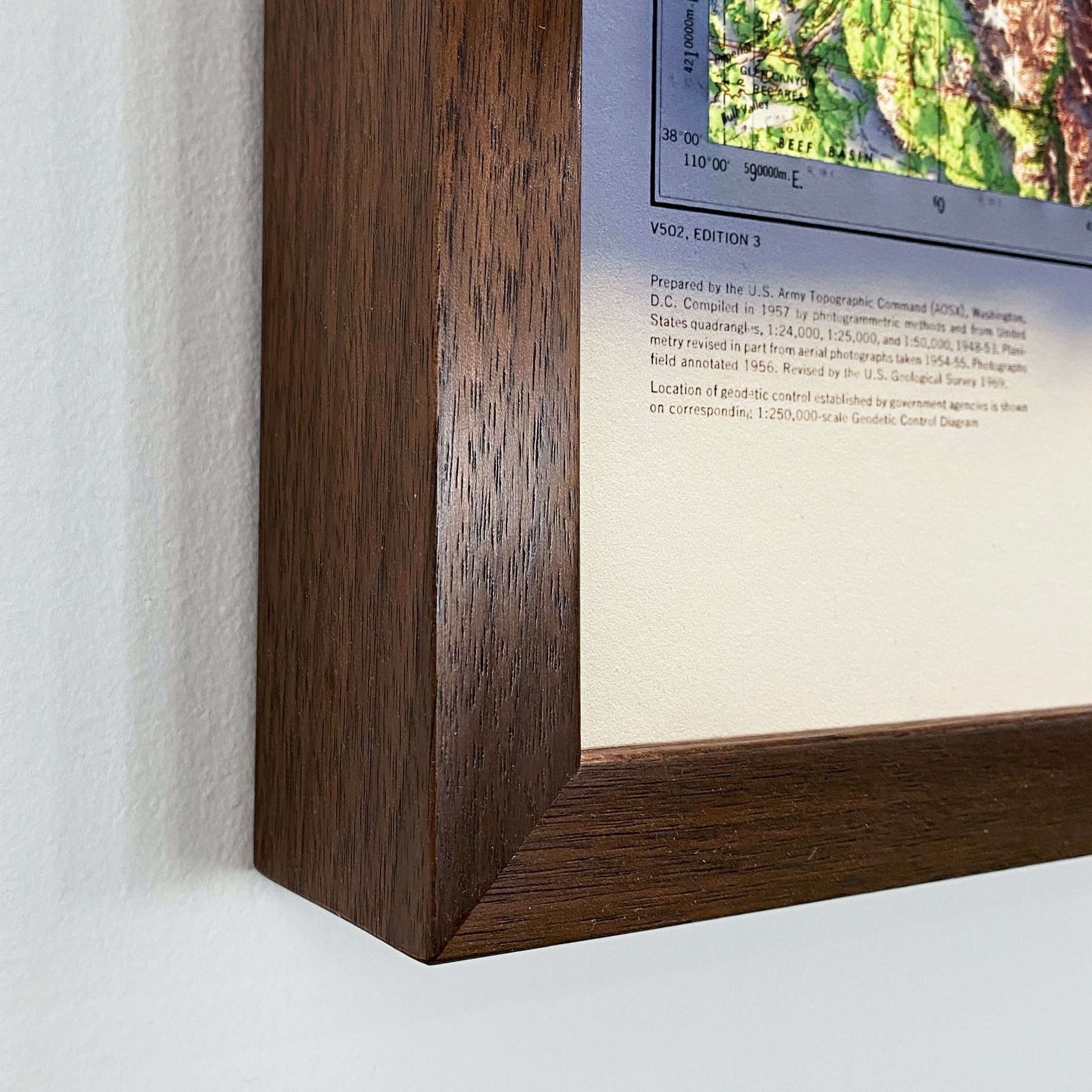
Available unframed, or framed in black or walnut.
Note on legibility: text on the original map is small and can be difficult to read given the map's age. In areas where the relief shading is darkest, the underlying labels are not legible. We recommend the largest available size for the best detail.