

























































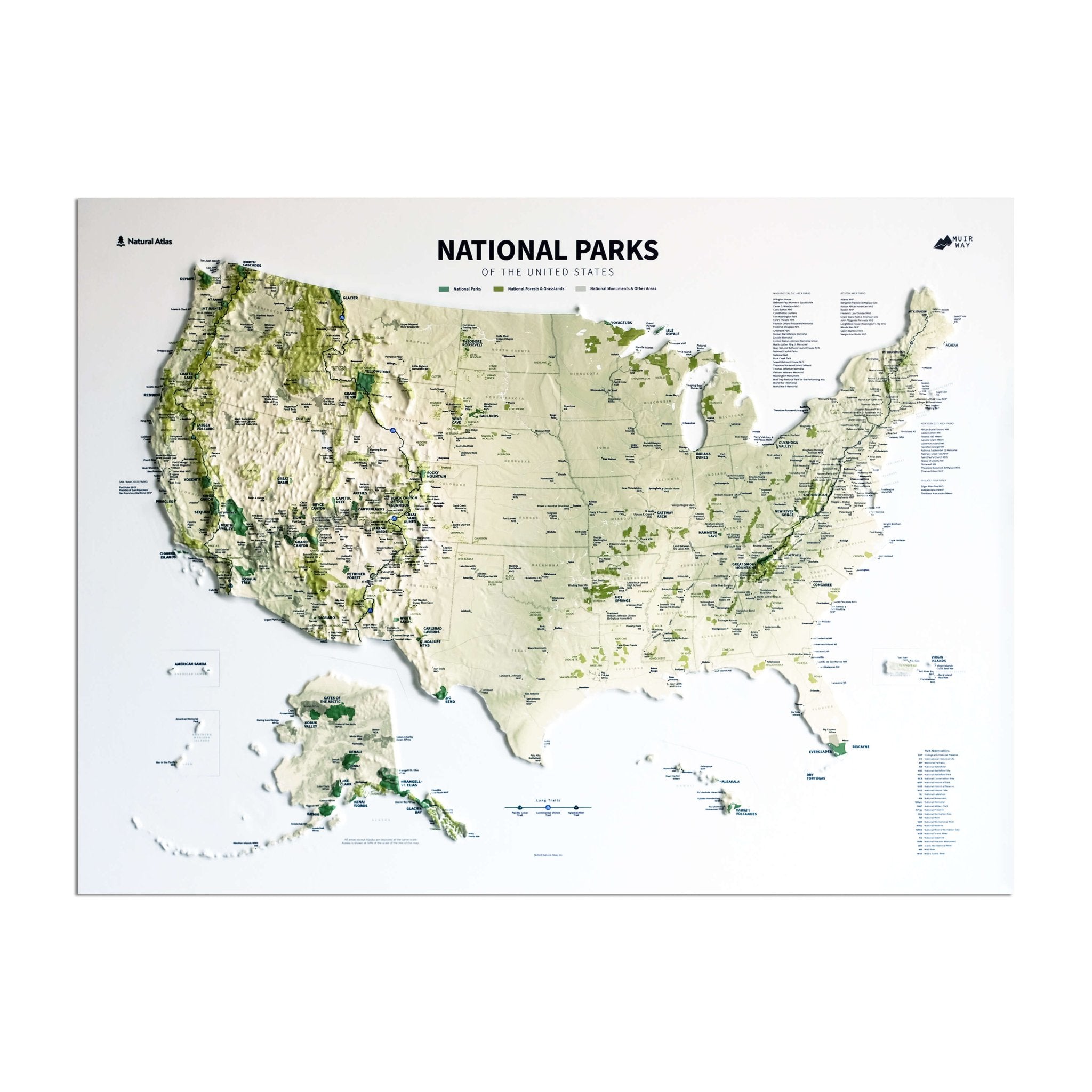

Explore America's National Parks in Map Form
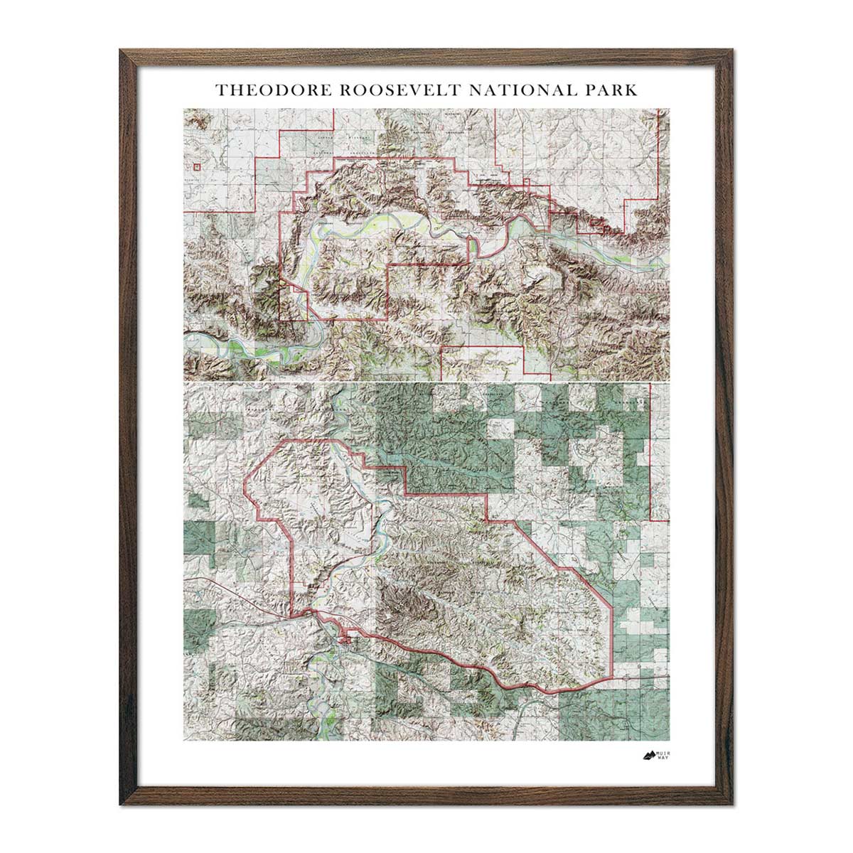
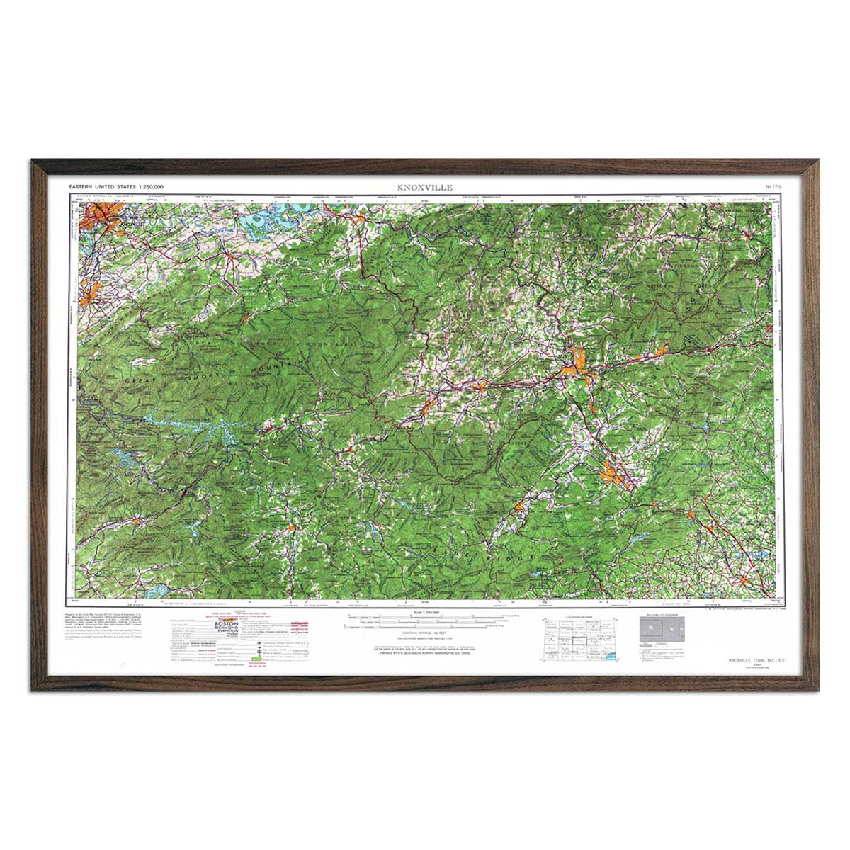
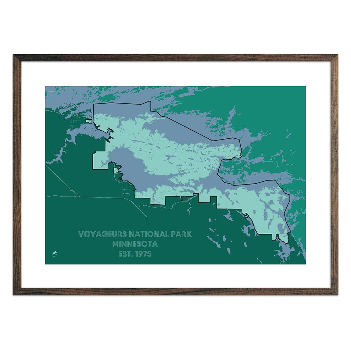
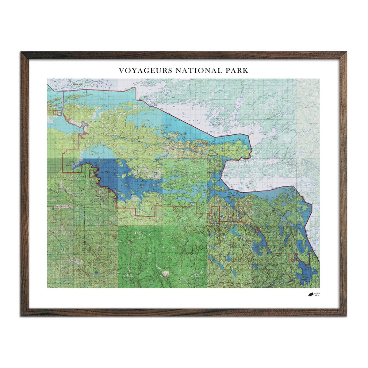
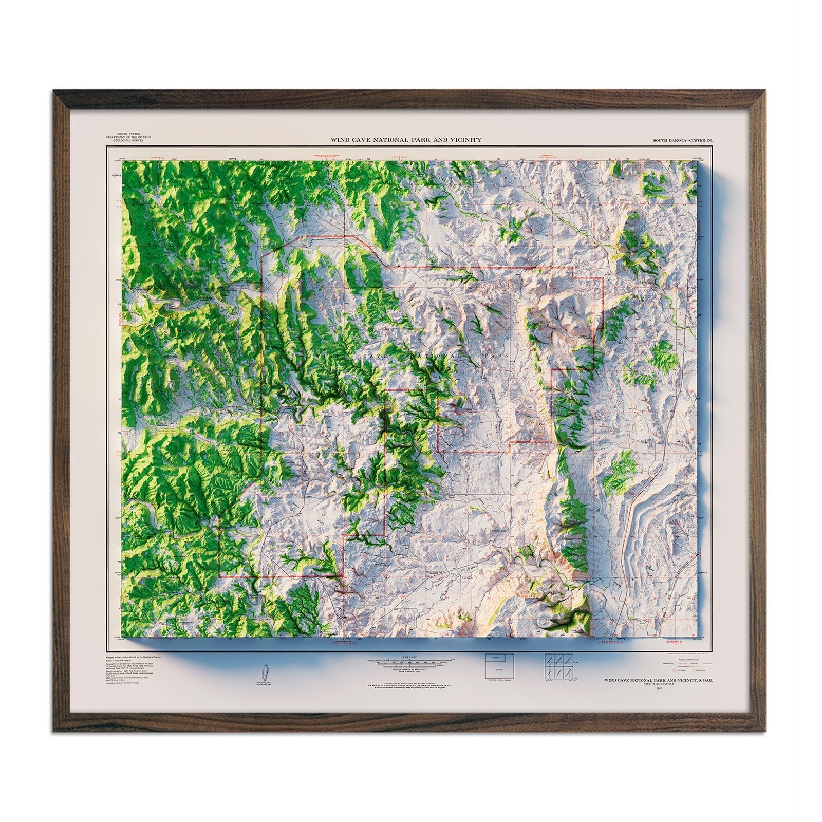
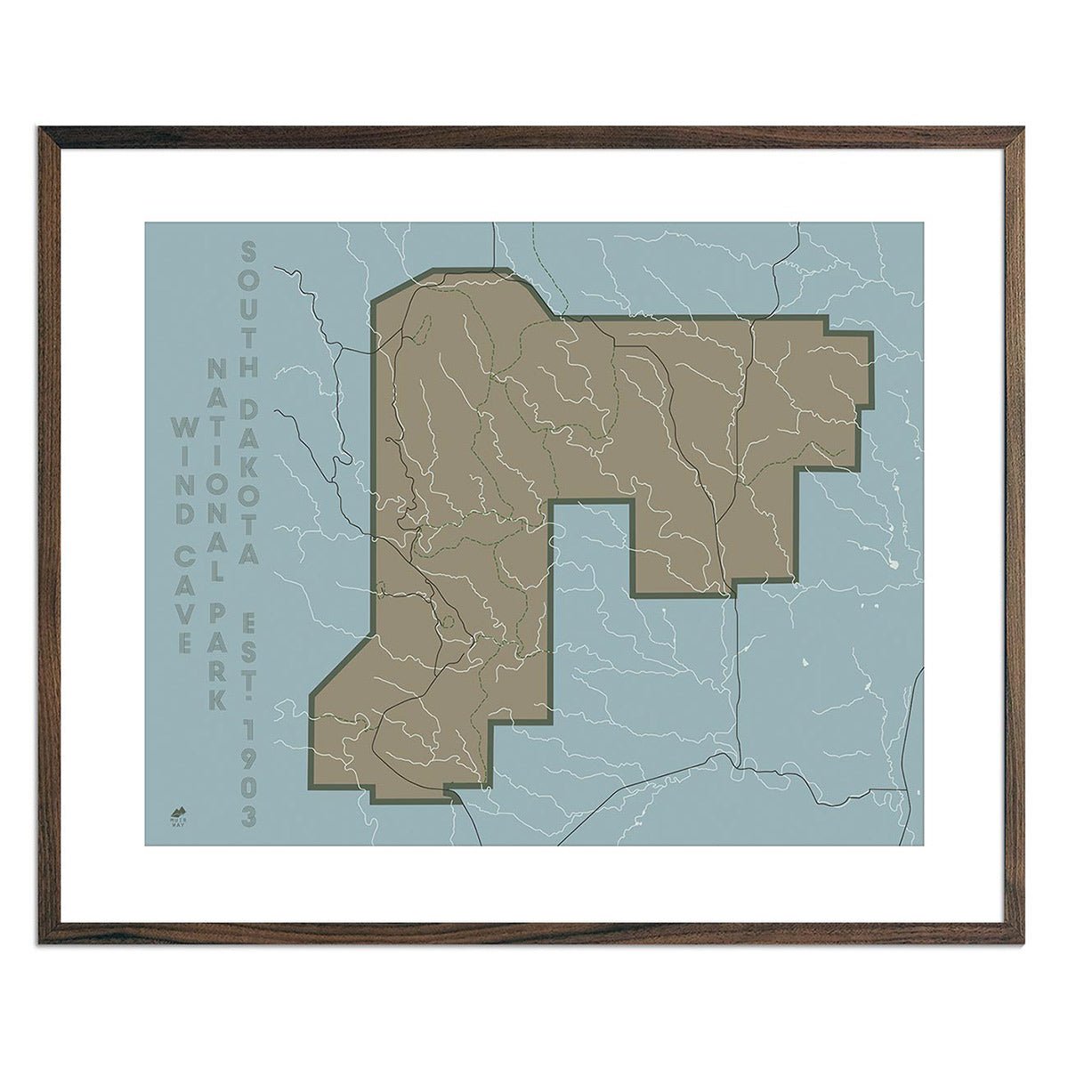
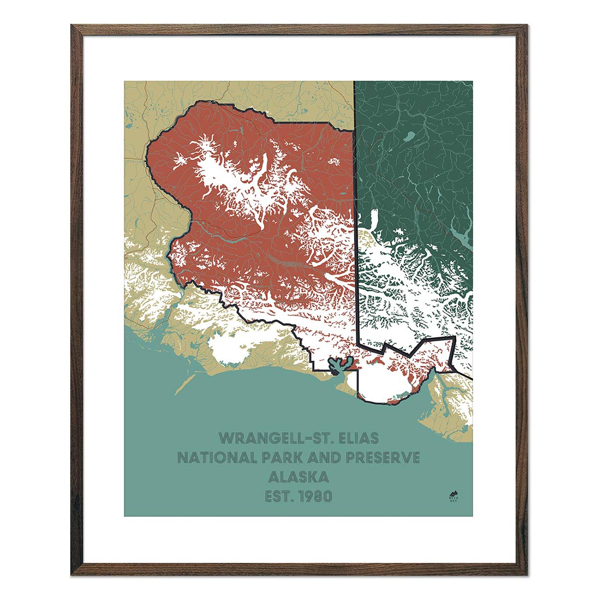
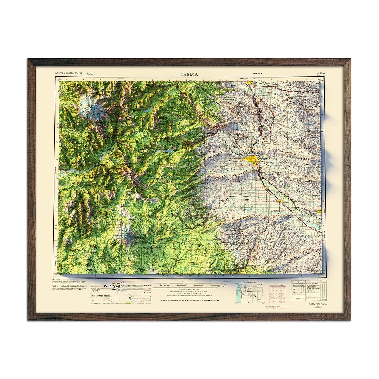
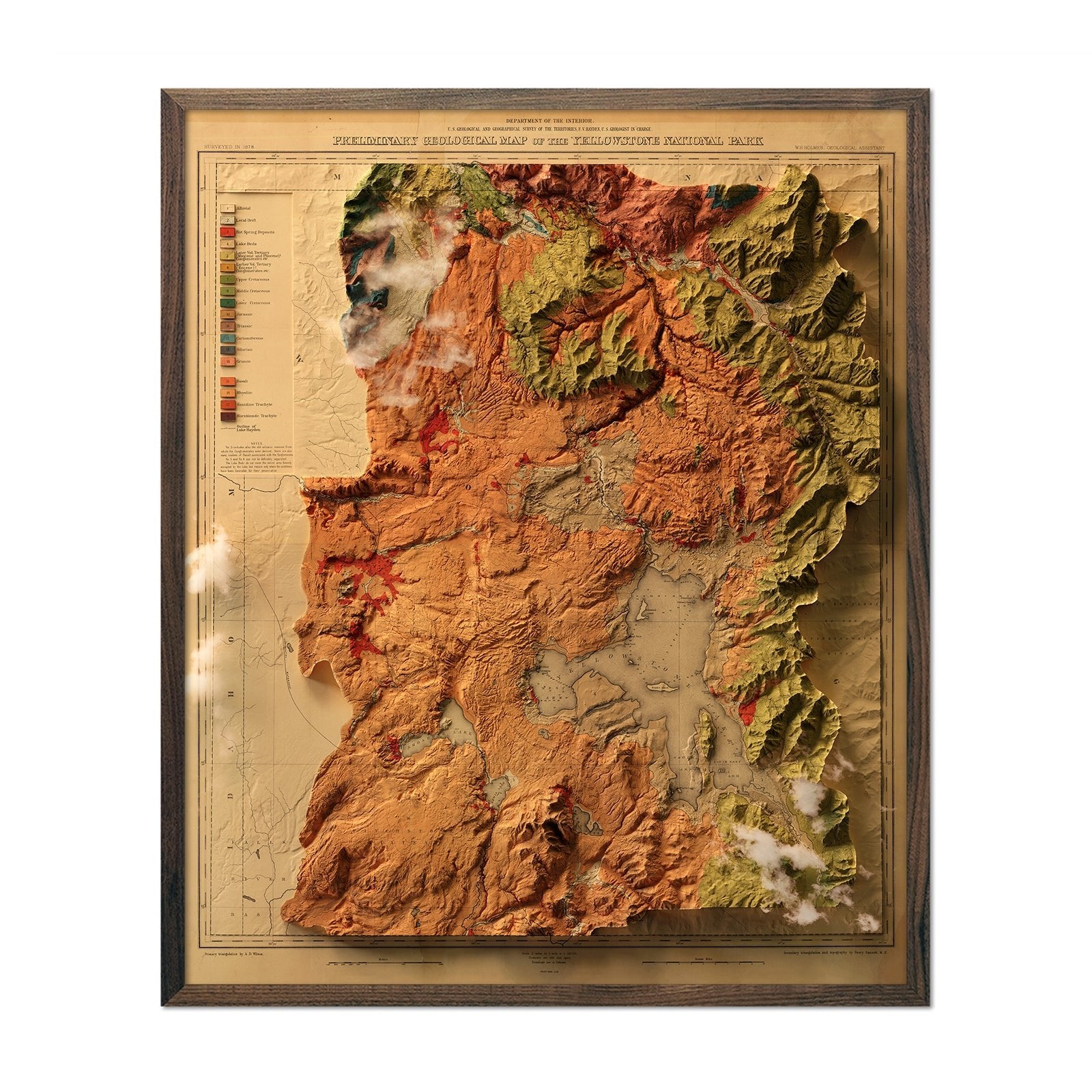
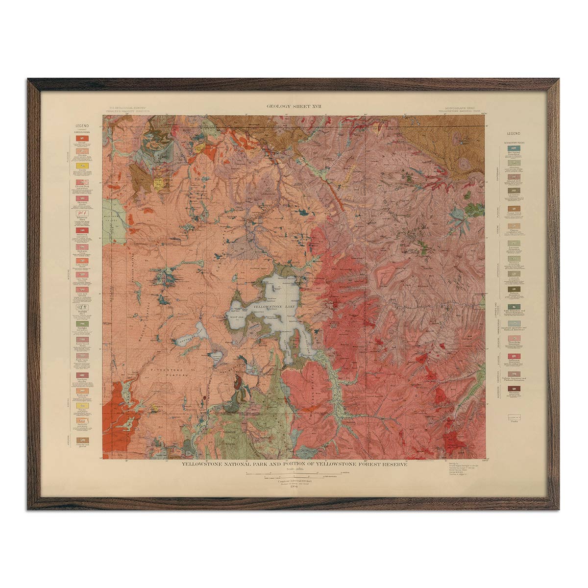
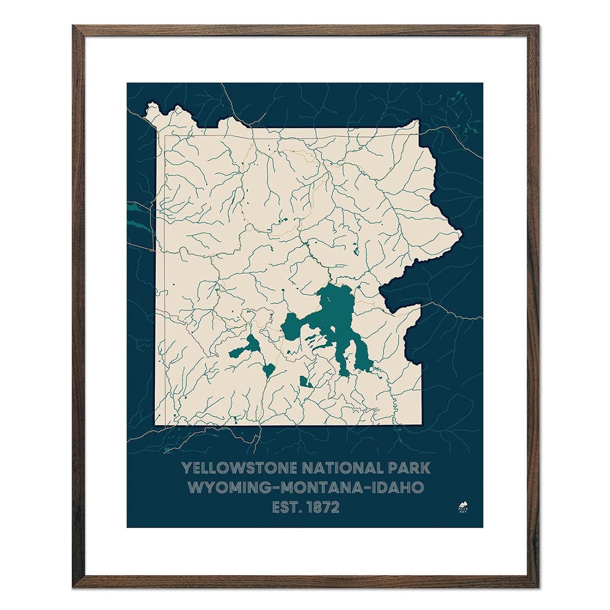
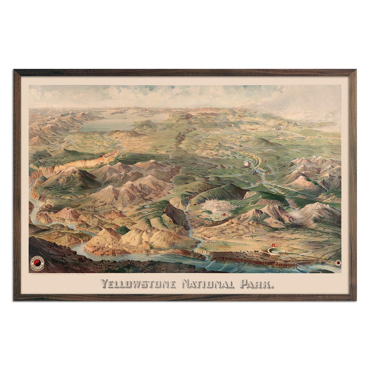
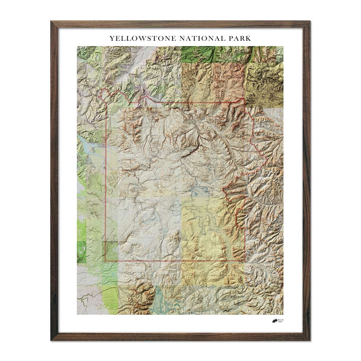
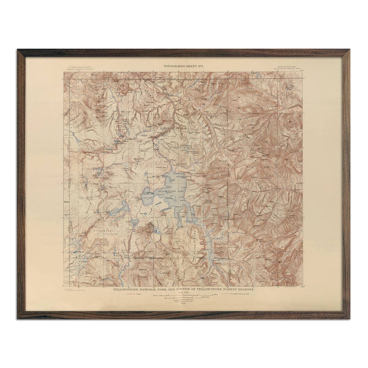
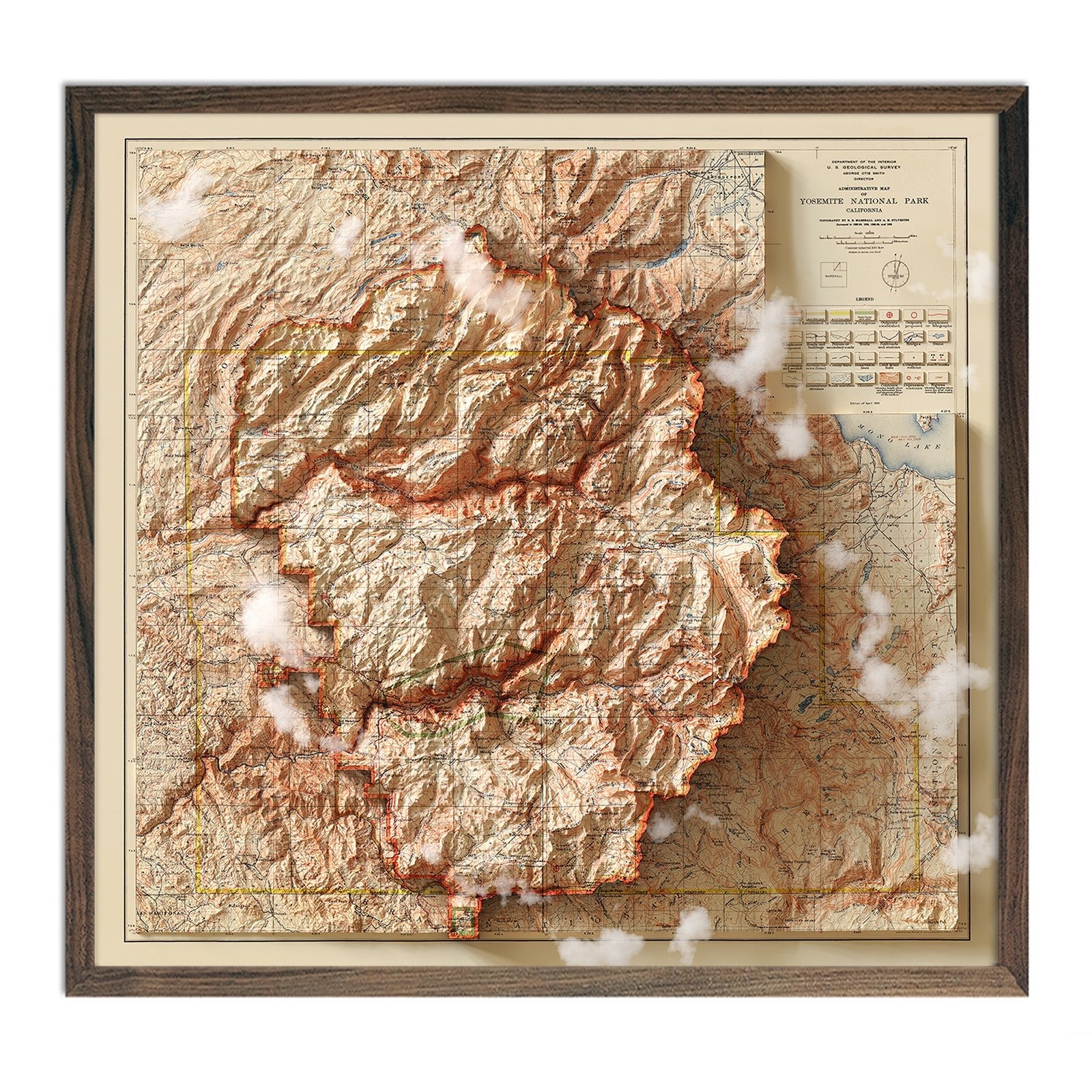
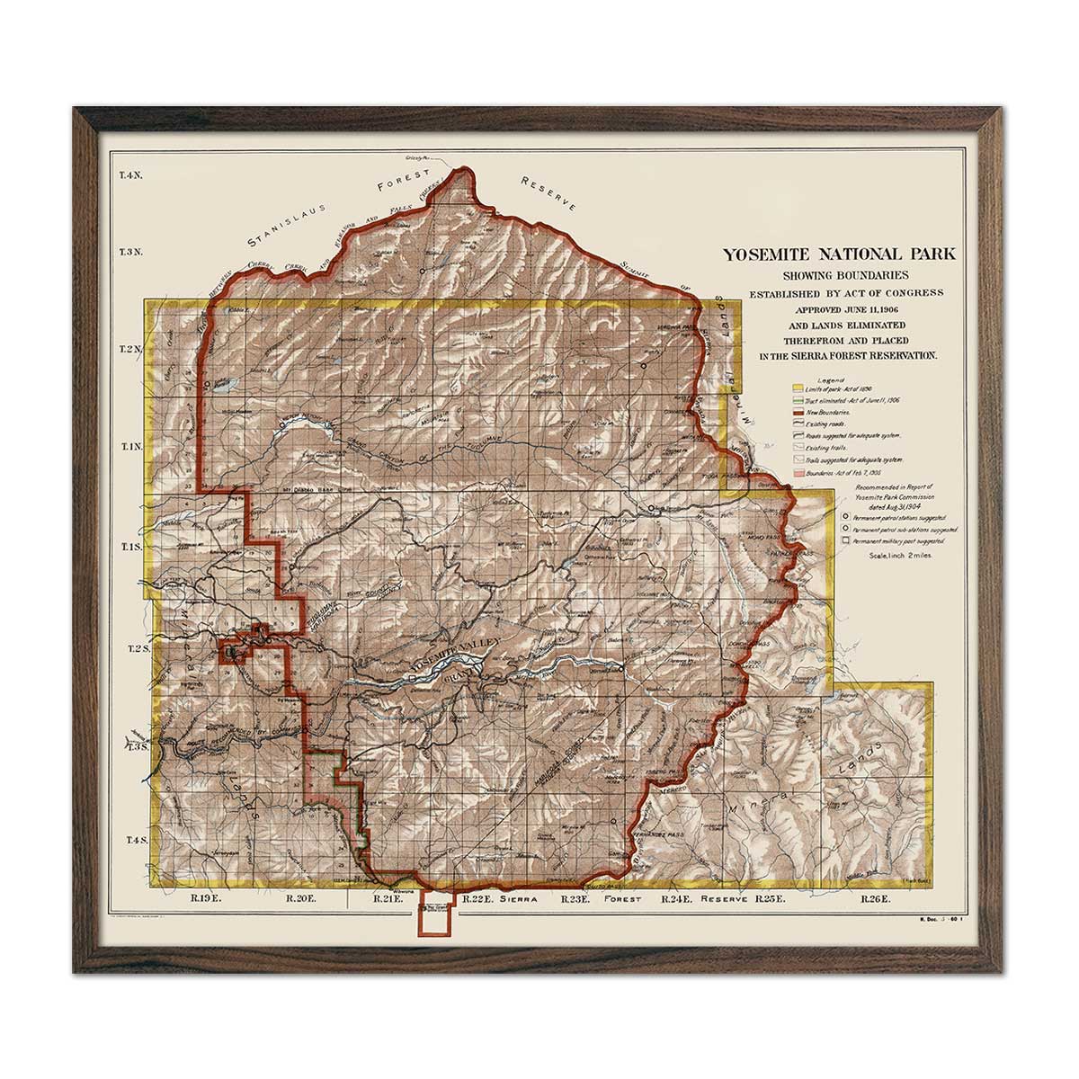
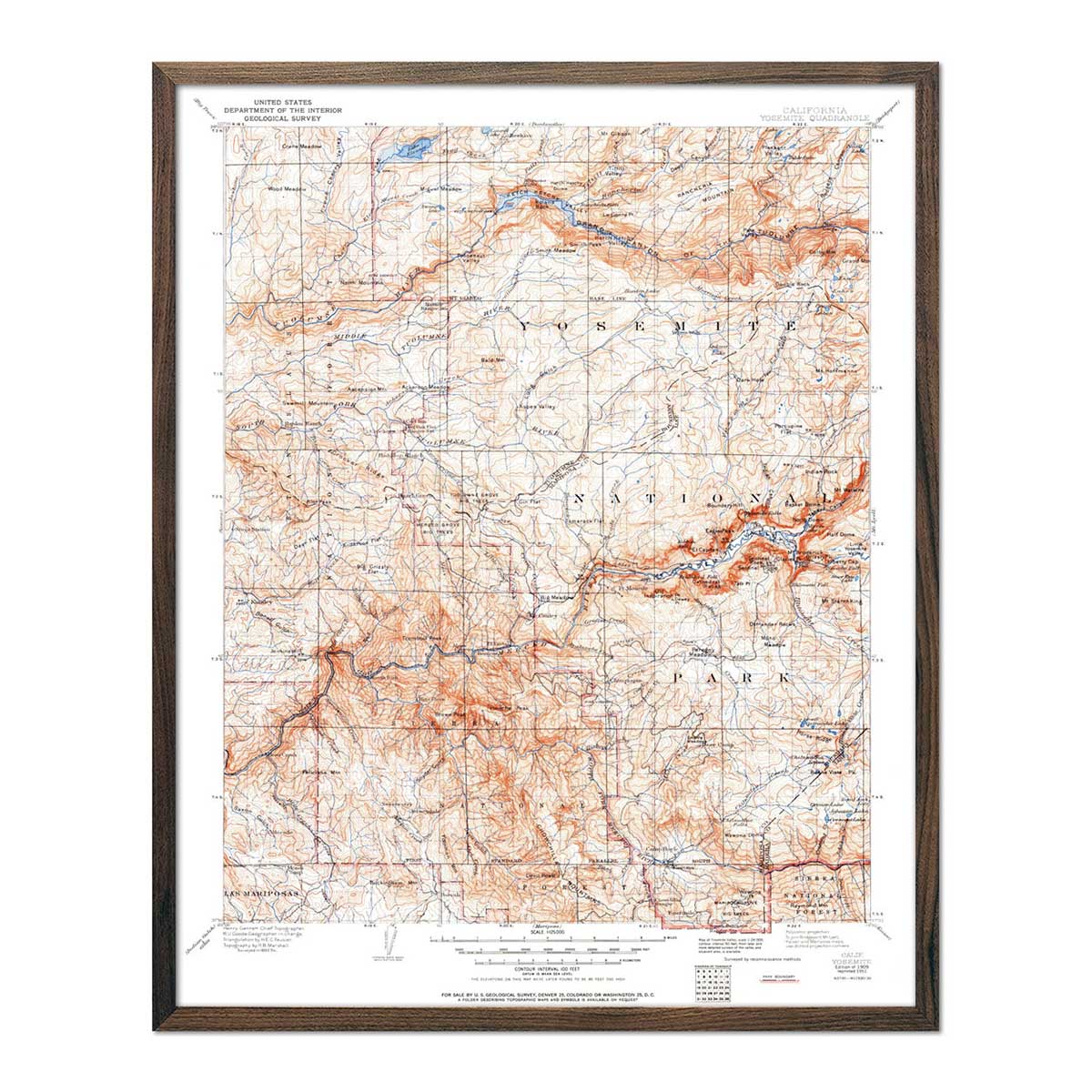
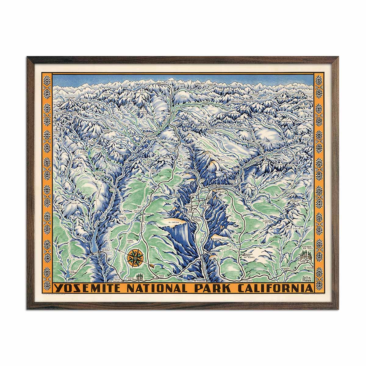
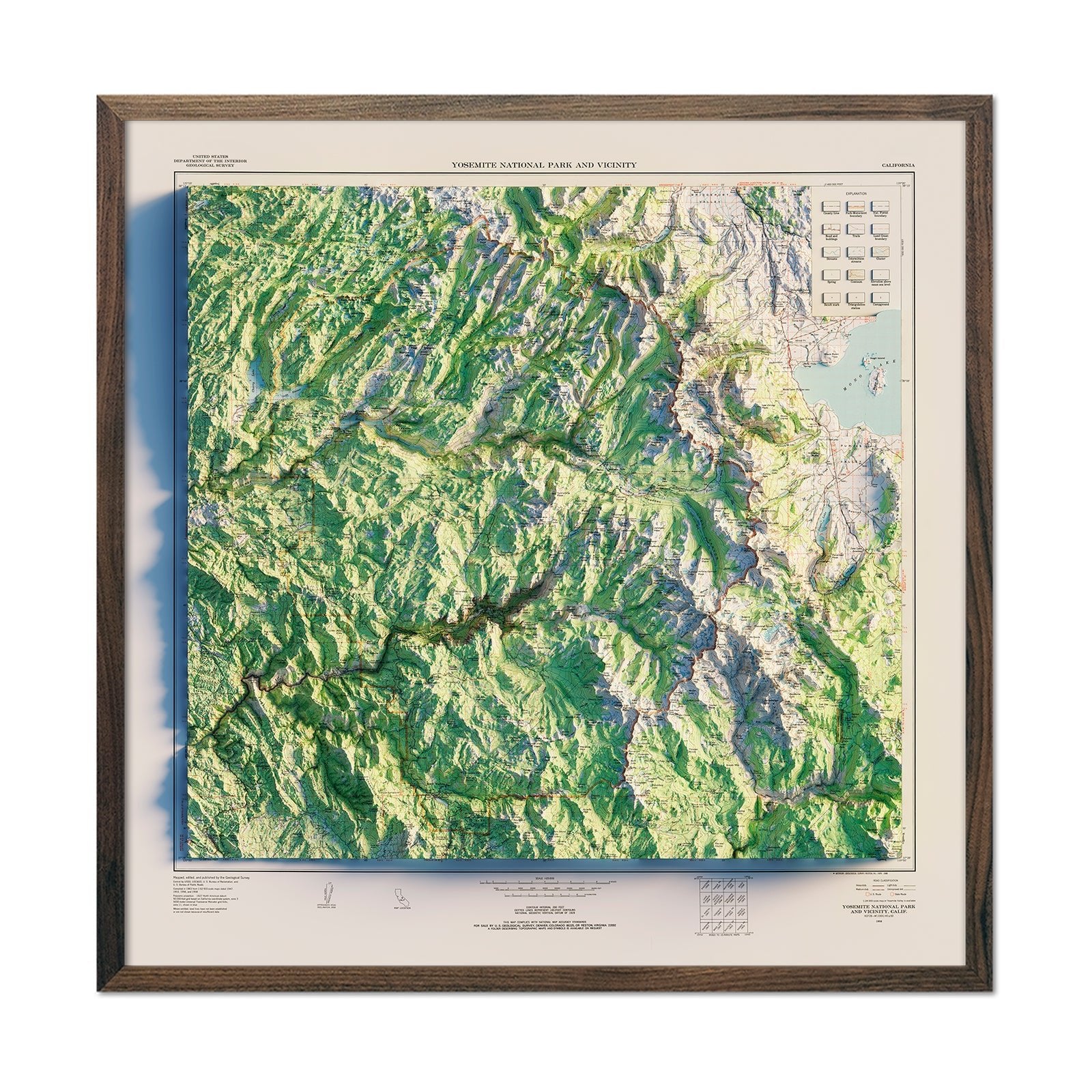
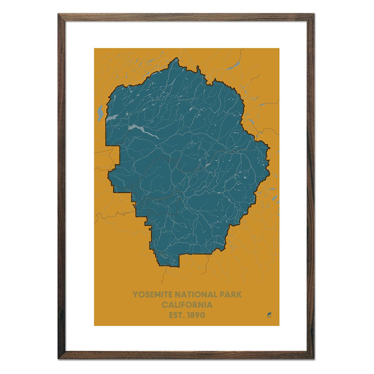
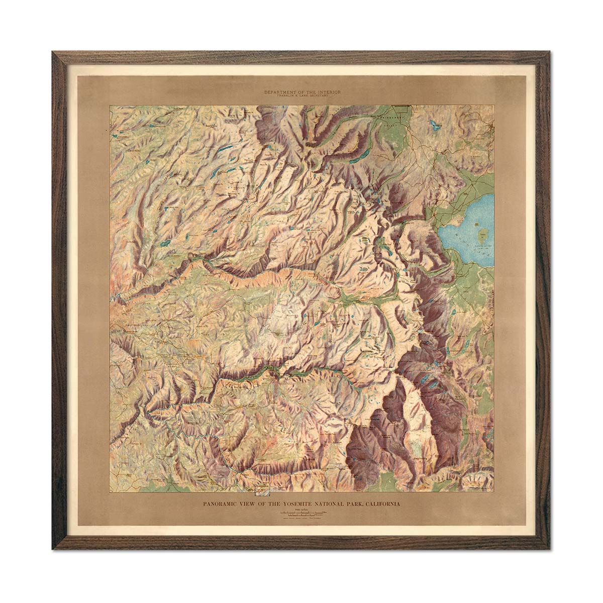
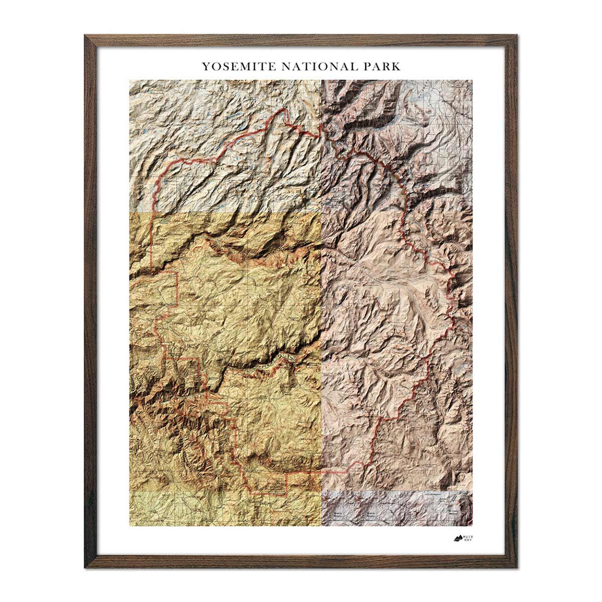
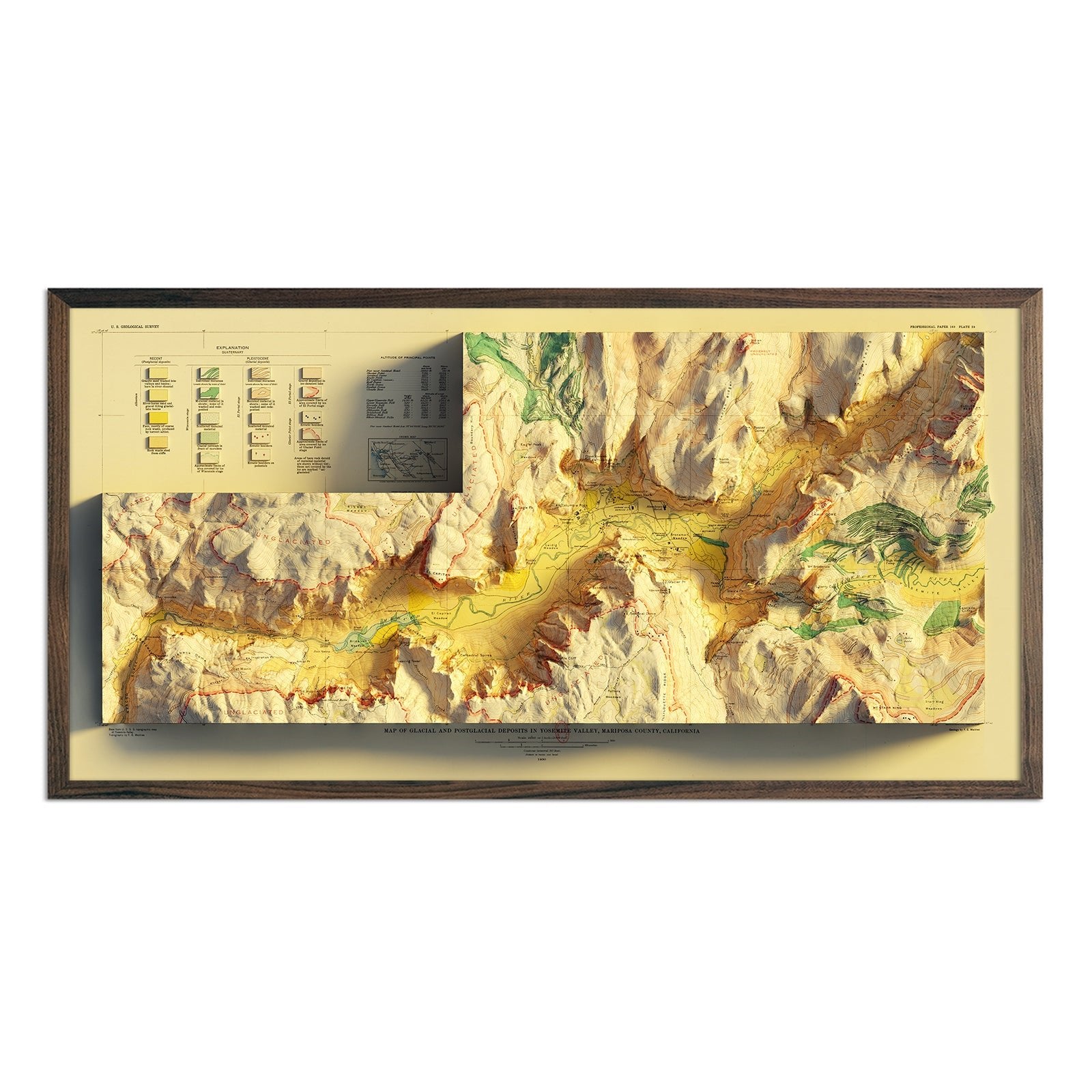
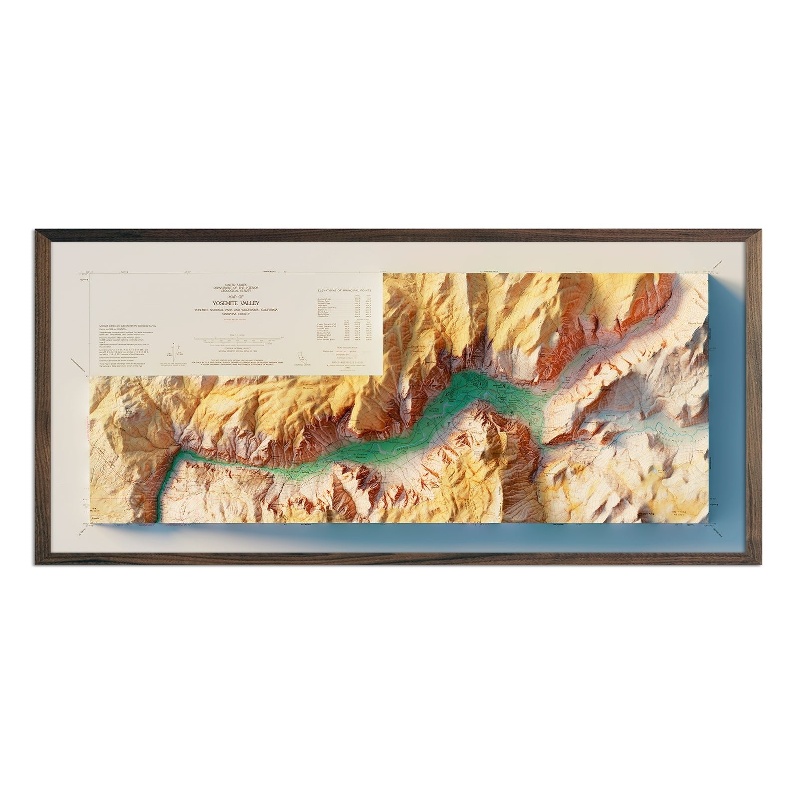
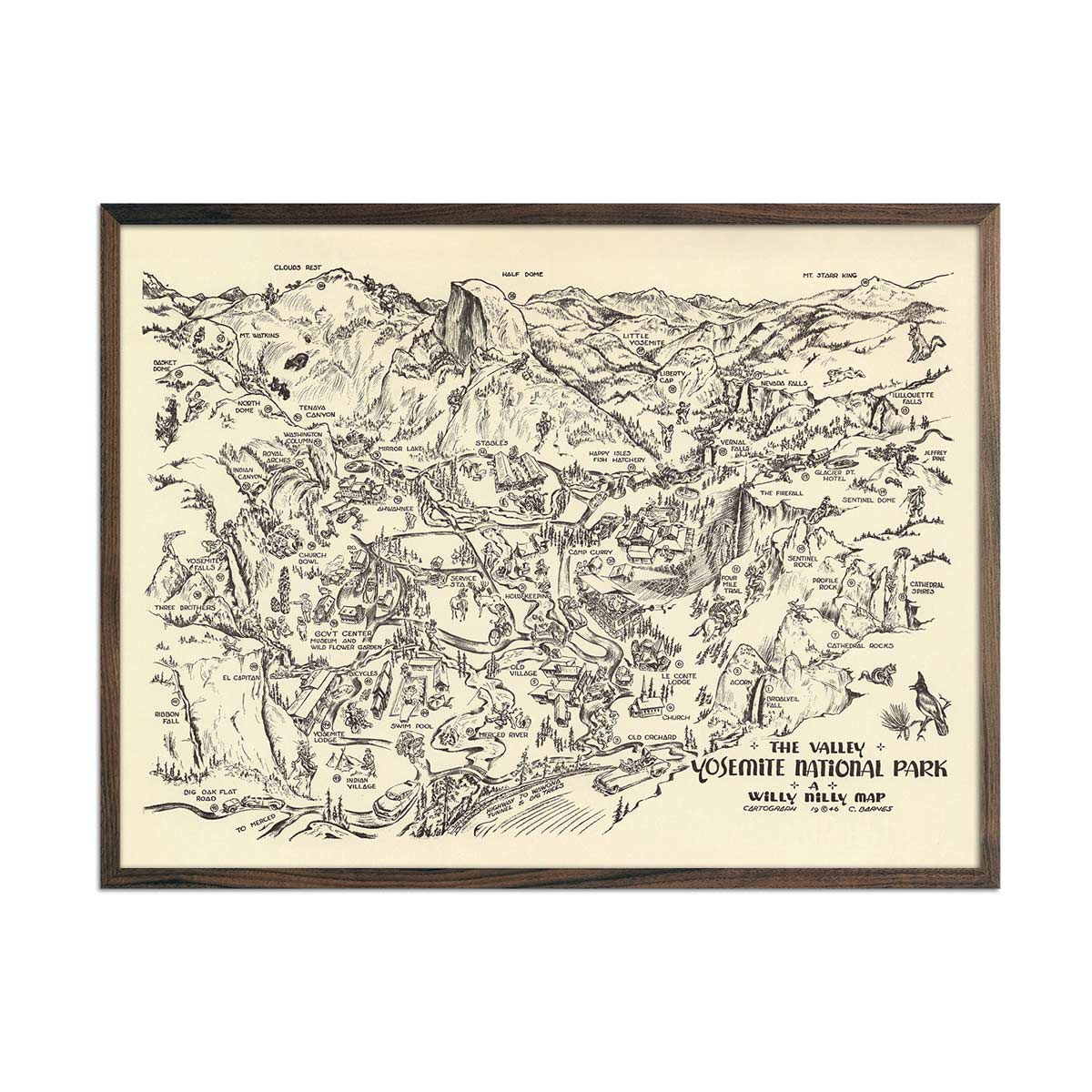
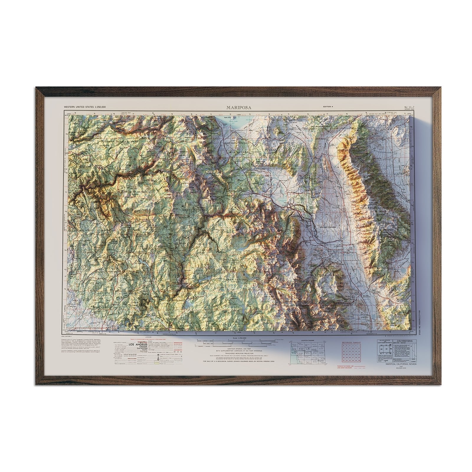
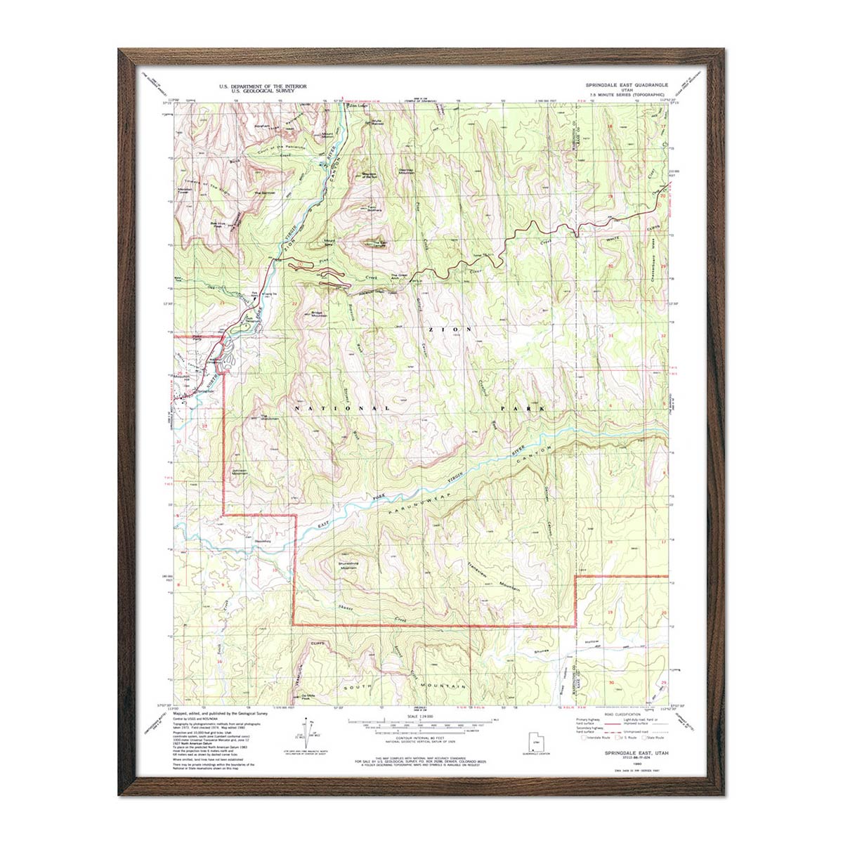
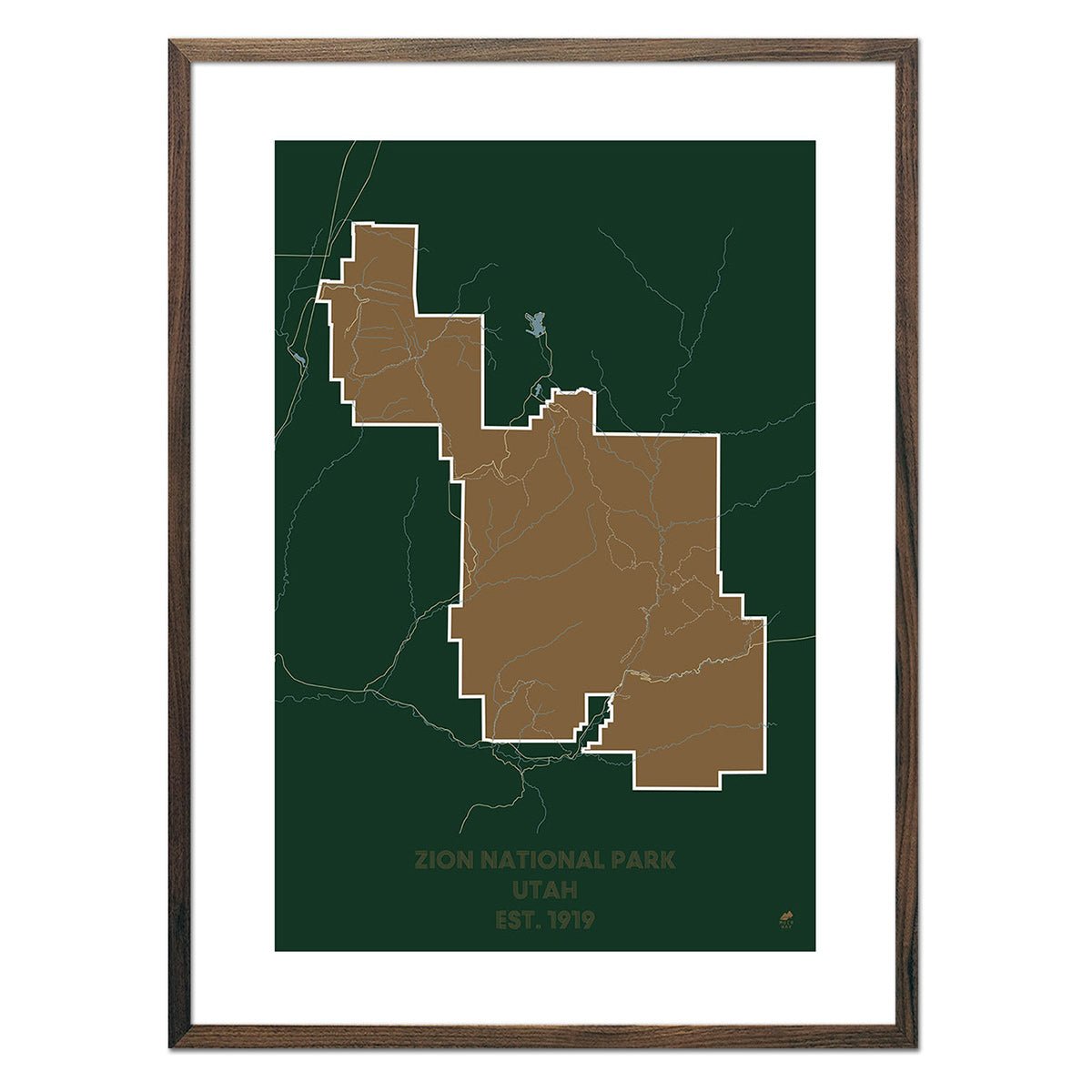
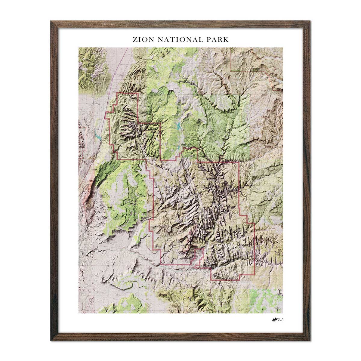
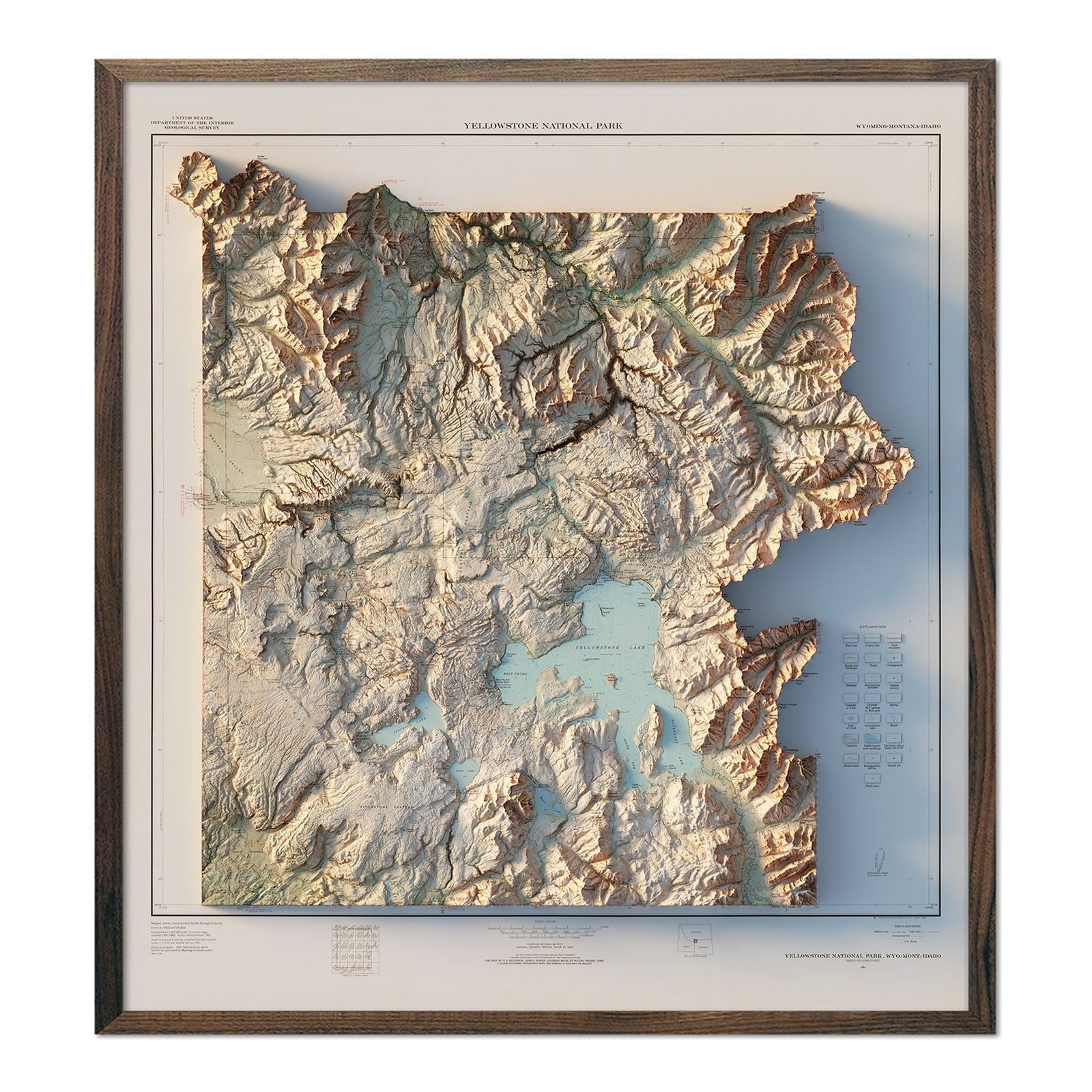
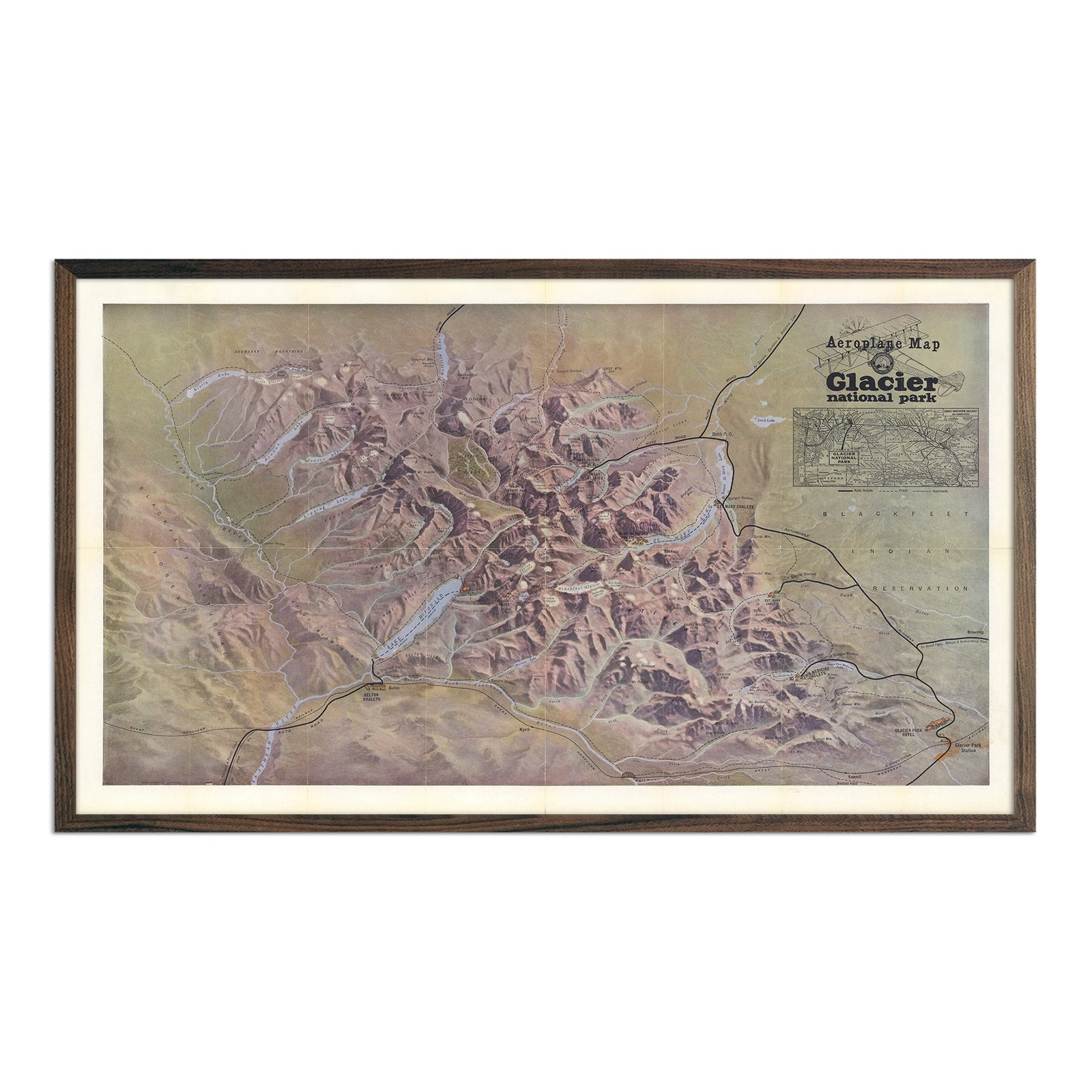
From the granite peaks of Yosemite to the layered canyons of the Grand Canyon, our National Park Maps collection brings the country's most iconic landscapes to your wall. Choose from 3D raised relief, historical USGS shaded relief, and modern topographic styles — including our USA National Parks Map and USA National Parks 3D Raised Relief Map for the full-country view, or dive into individual parks like Yosemite, Rocky Mountain, Glacier, and Grand Canyon National Parks. Every map is handcrafted in our San Diego workshop using archival-grade materials, so it's built to last as a piece of art, not just a reference.
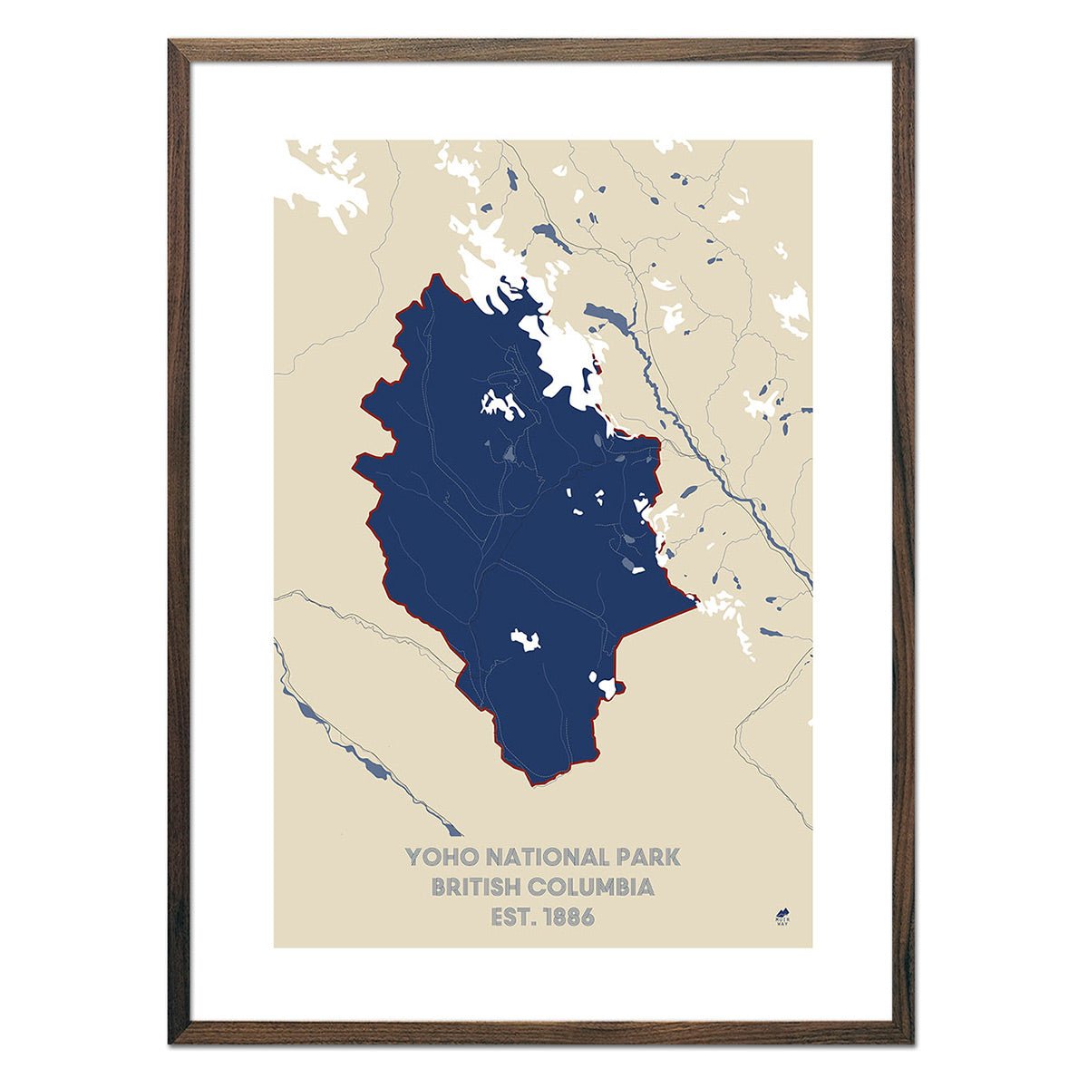
Muir Way's National Park Maps collection includes 200+ products spanning three formats: 3D raised relief maps (physically sculpted terrain), shaded relief maps (2D prints with a dimensional look derived from digital elevation data), and USGS-sourced topographic maps. Individual park maps include Yosemite, Rocky Mountain, Glacier, Grand Canyon, and Acadia National Parks, alongside two collection-wide options covering all US national parks at once. All prints are made to order in the USA and ship with a range of framing options.