




















































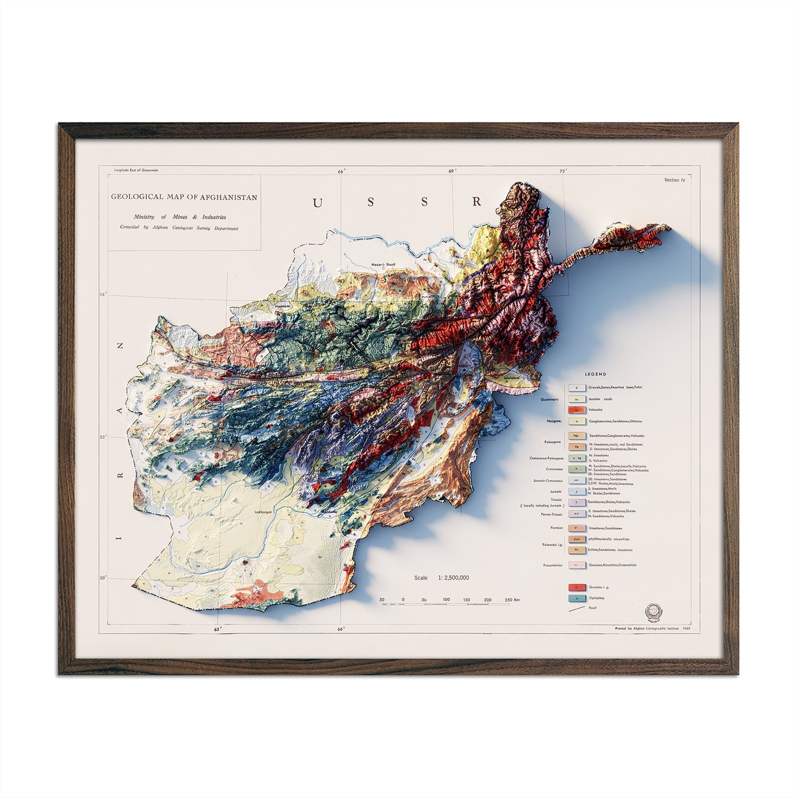

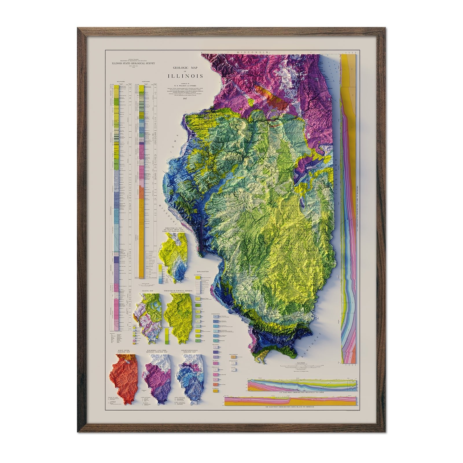
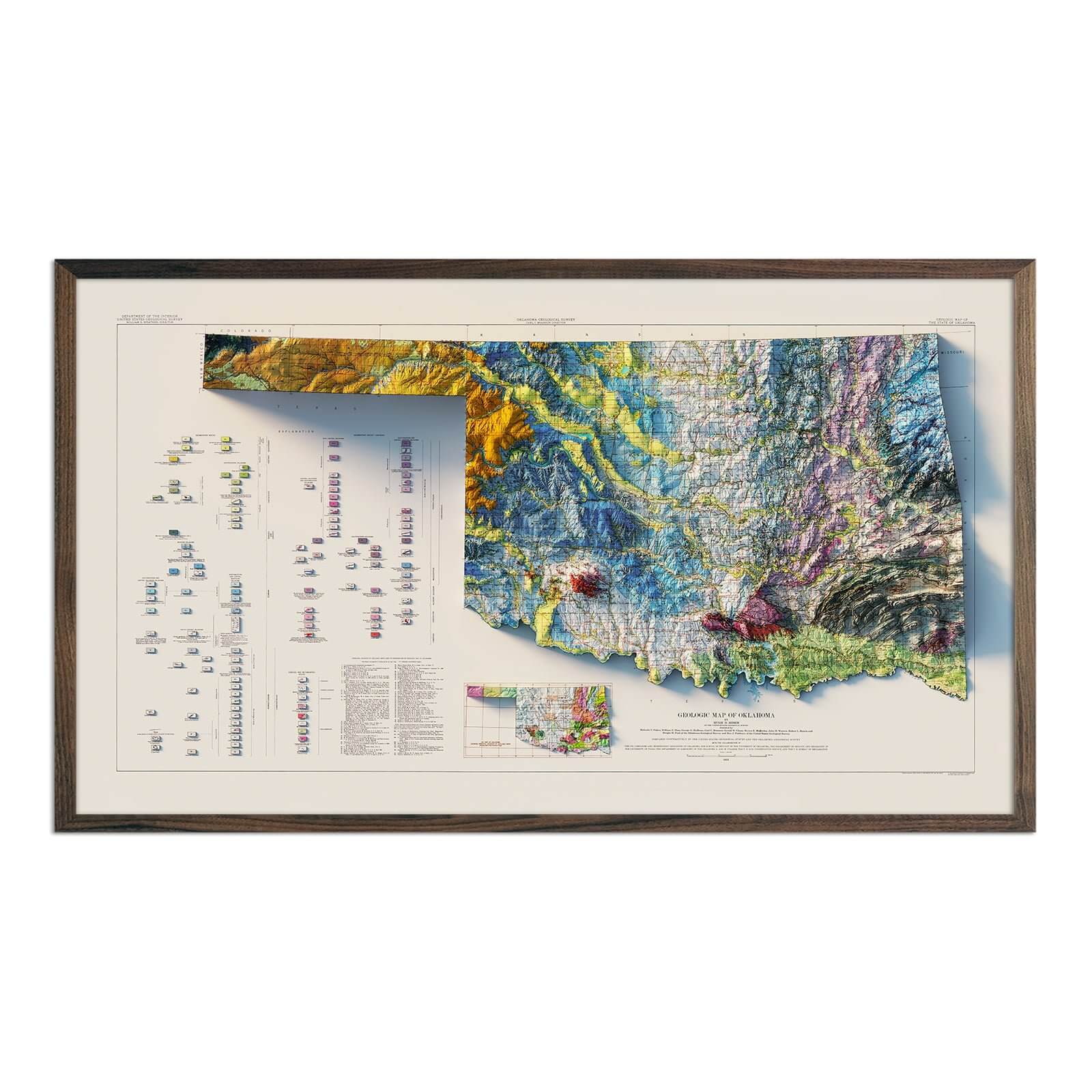
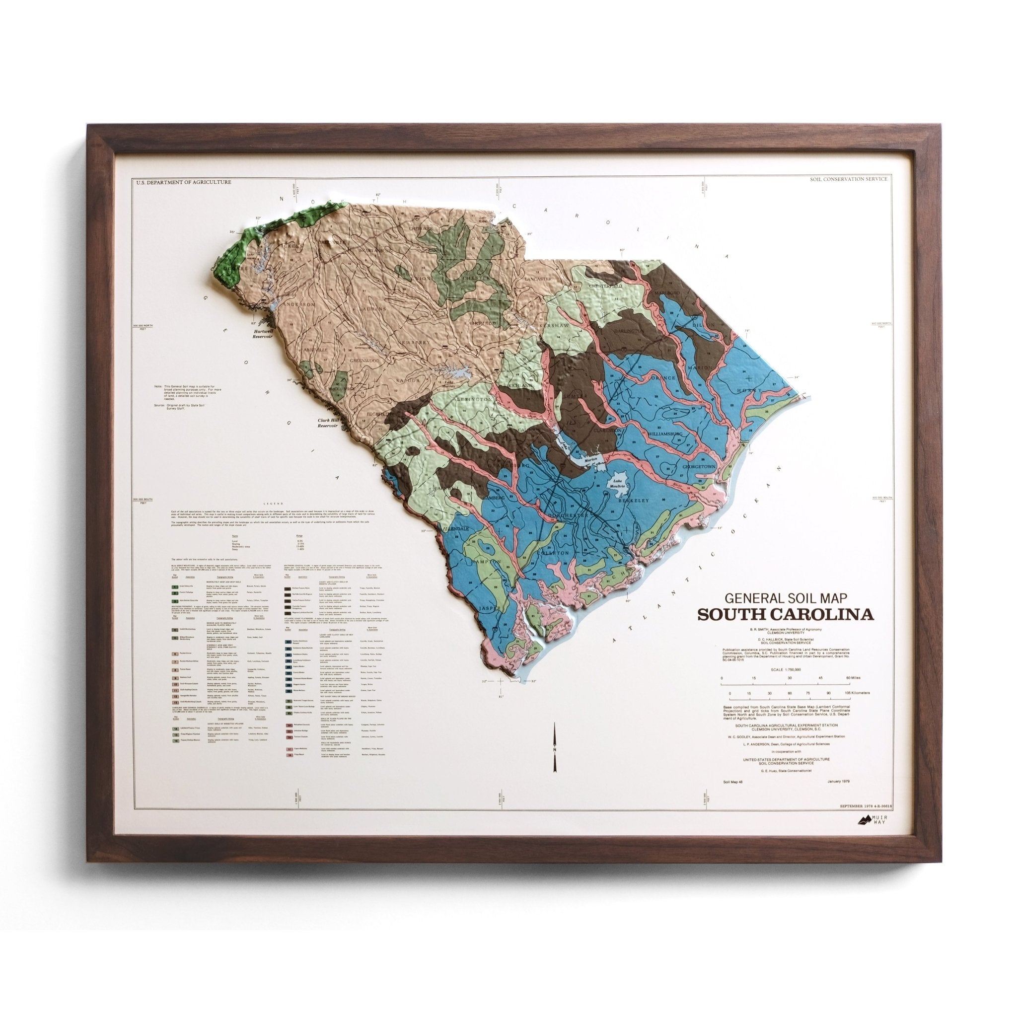

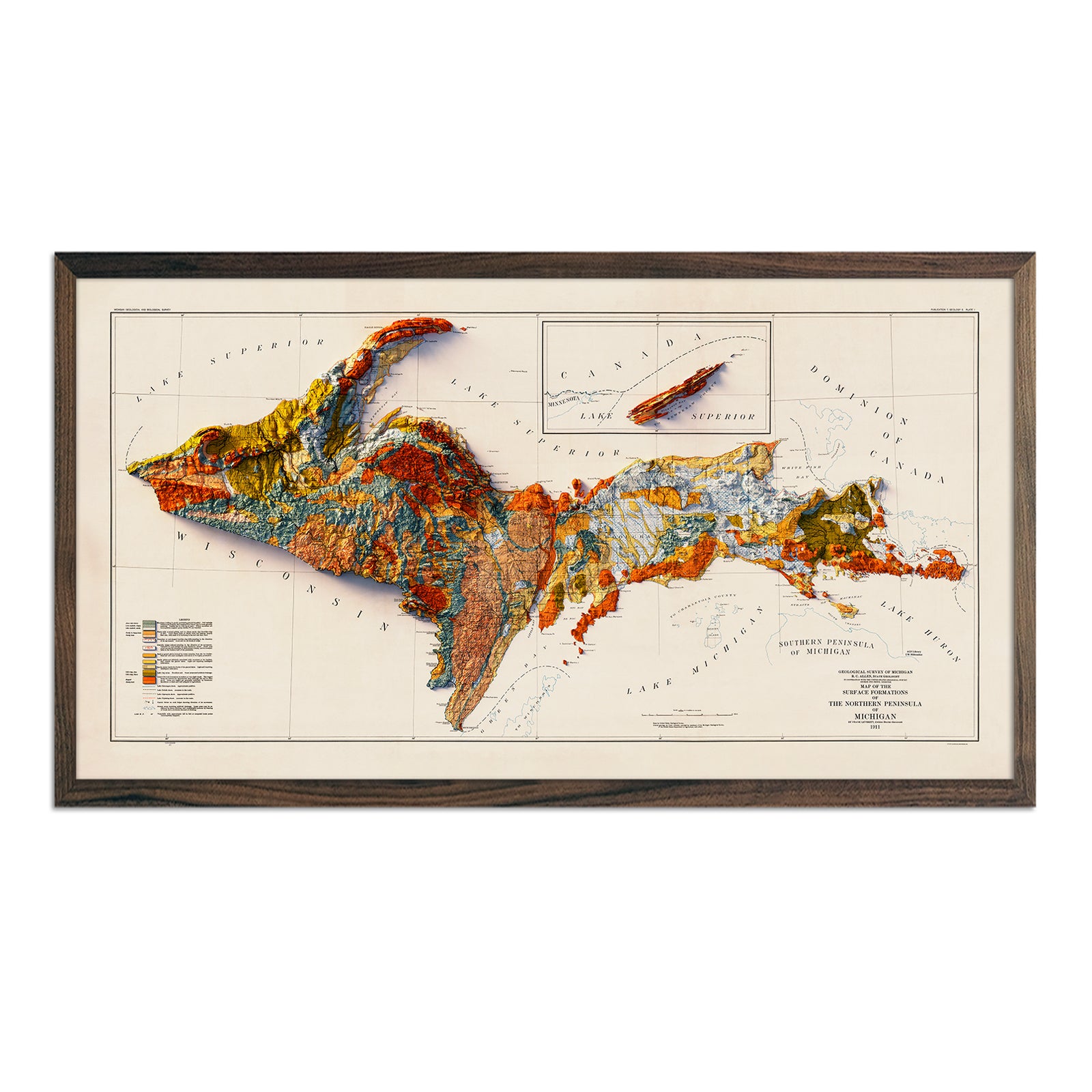
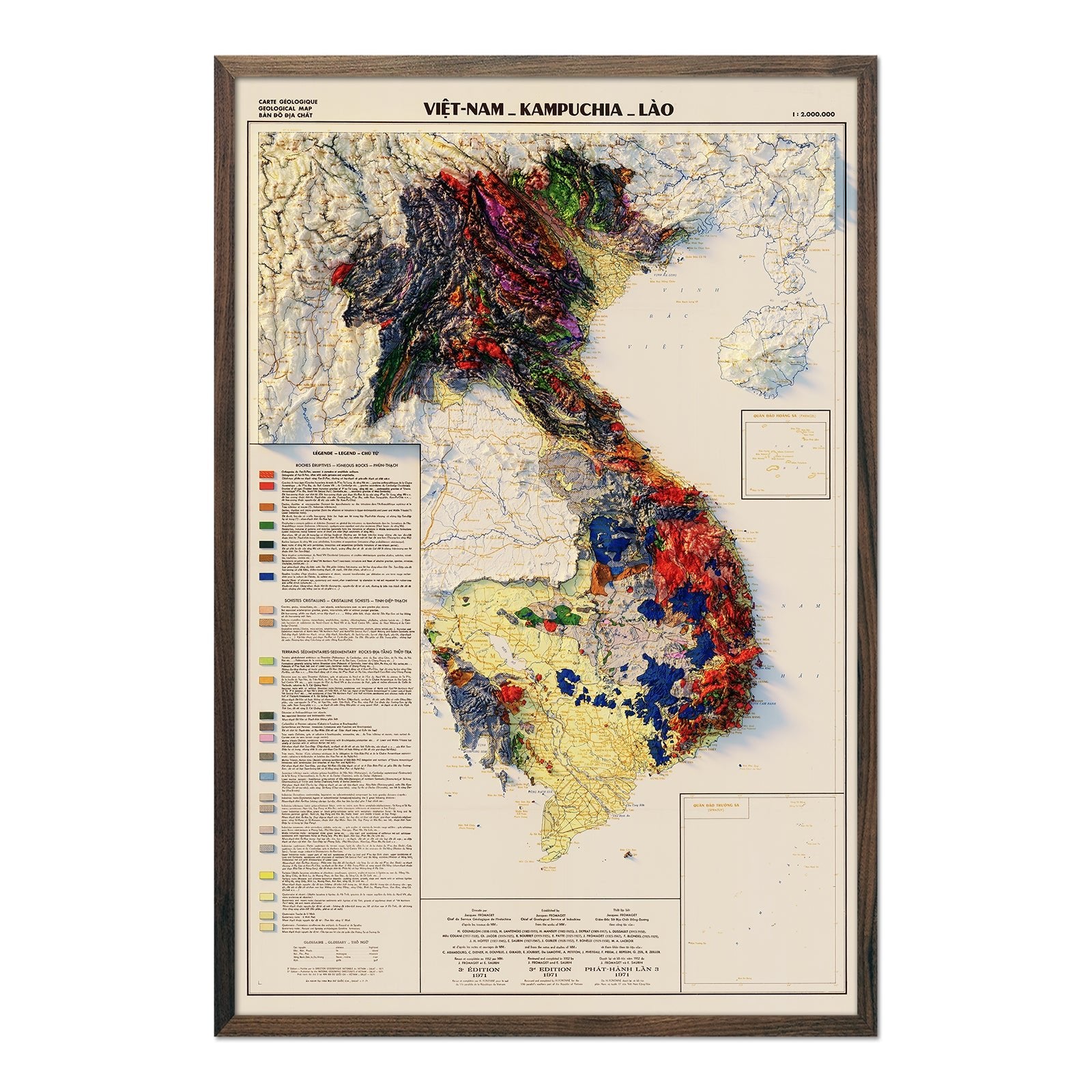
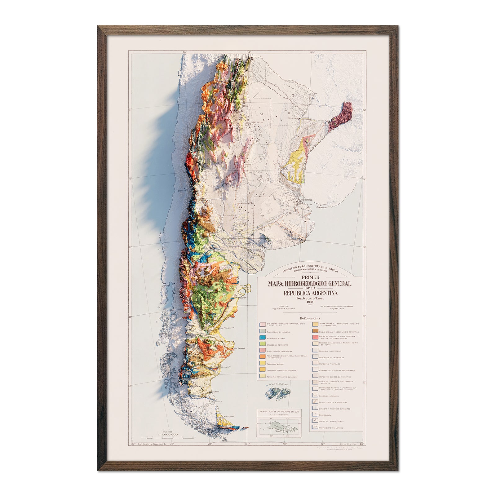
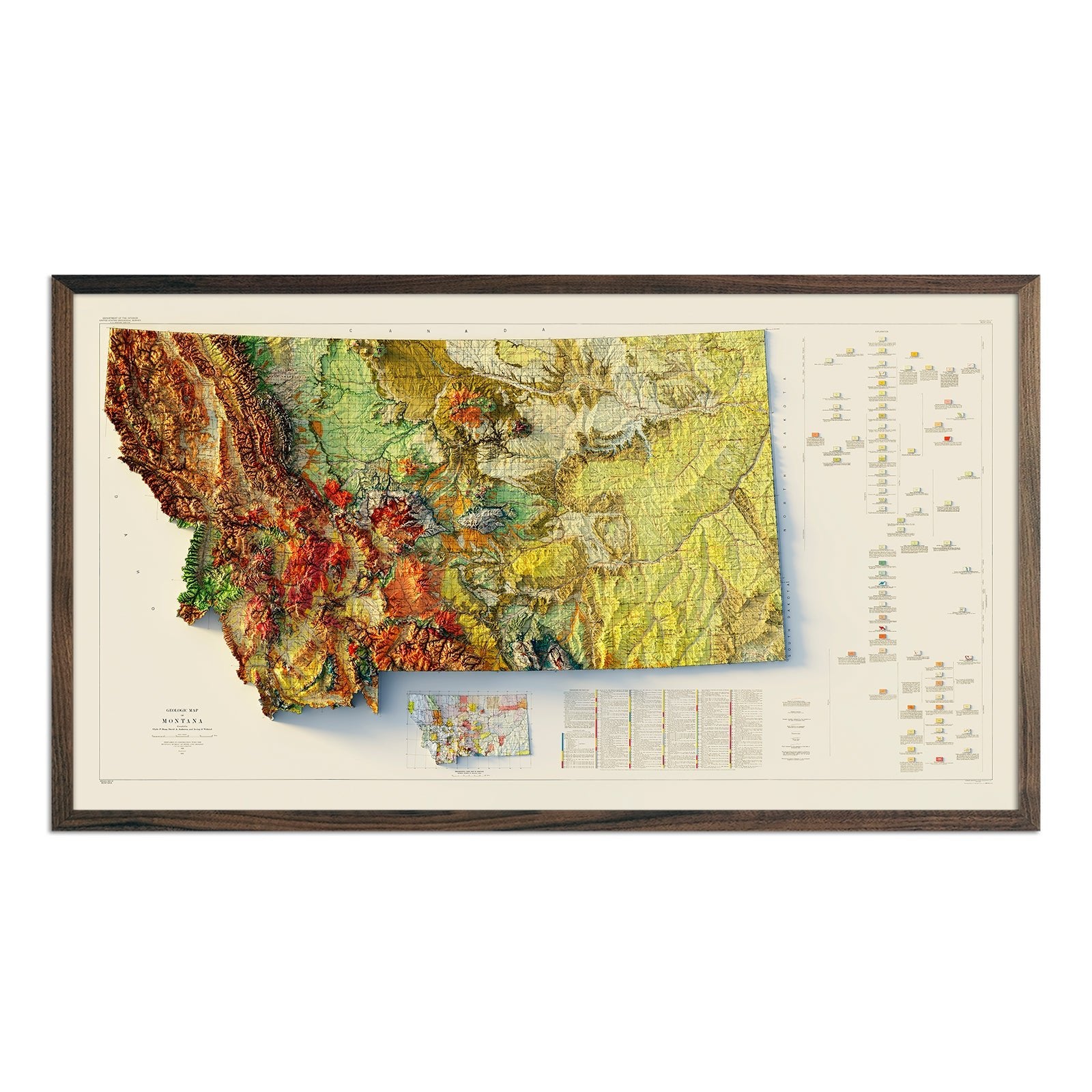
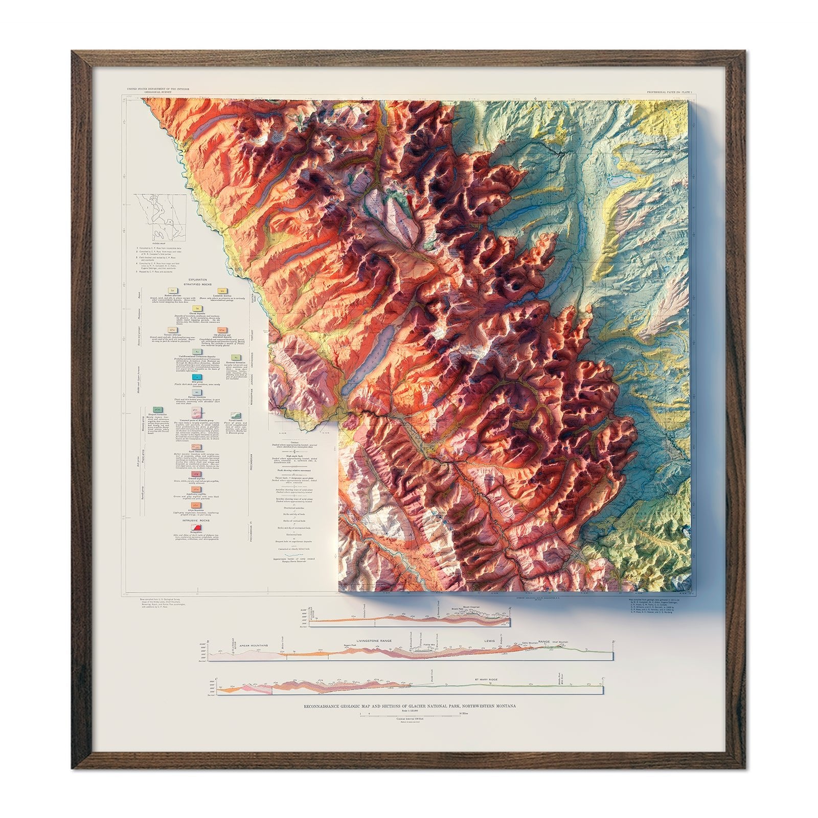
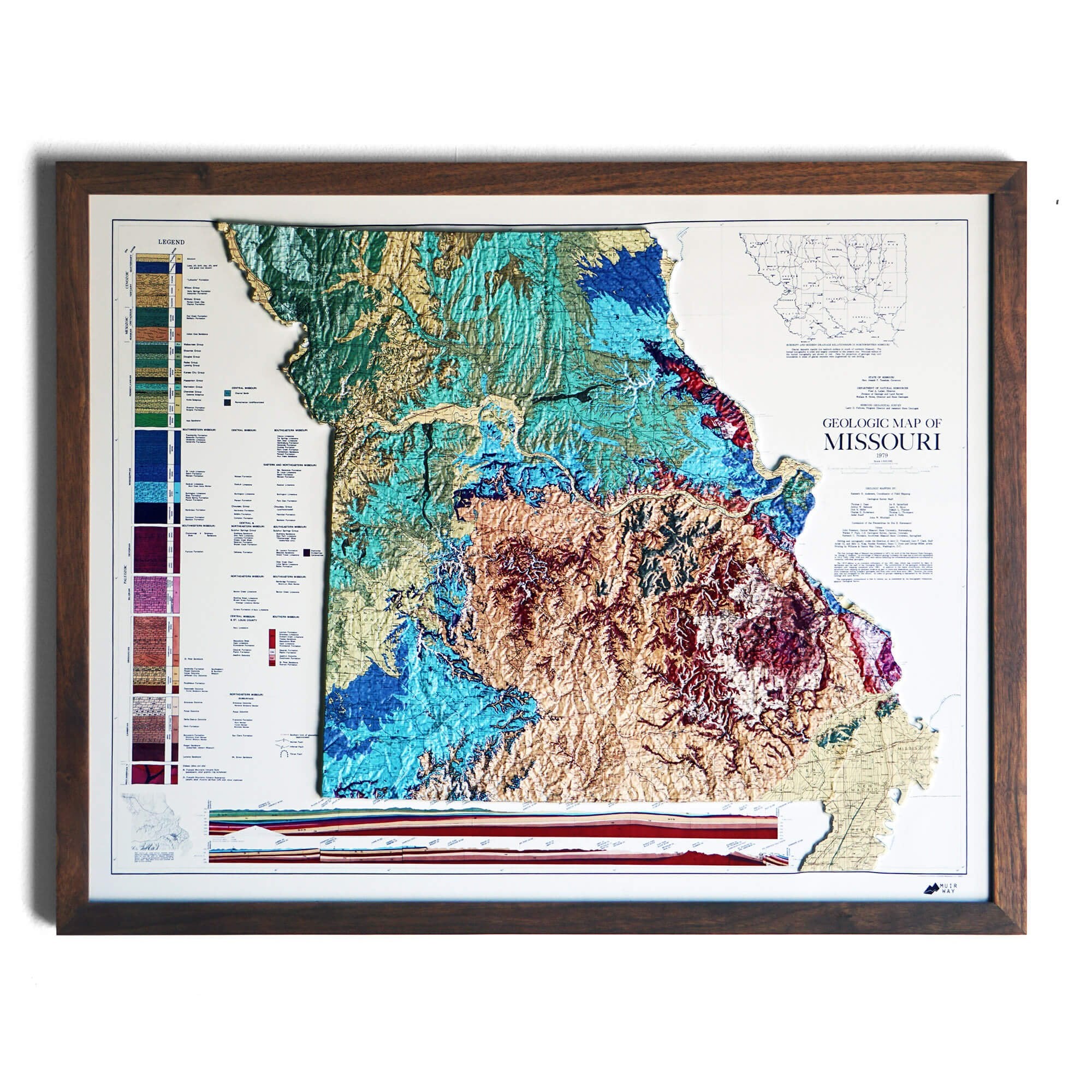
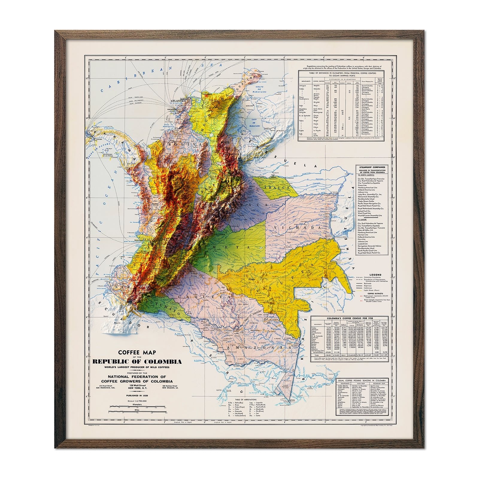

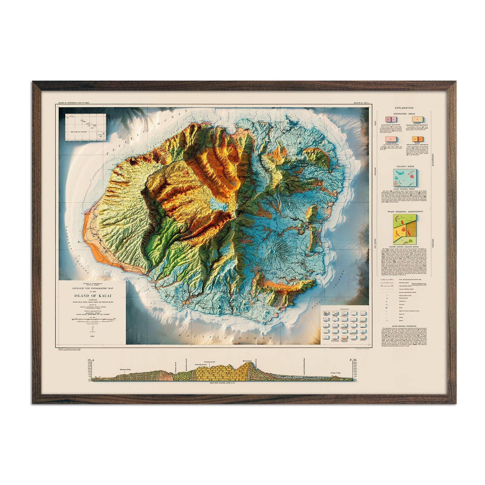
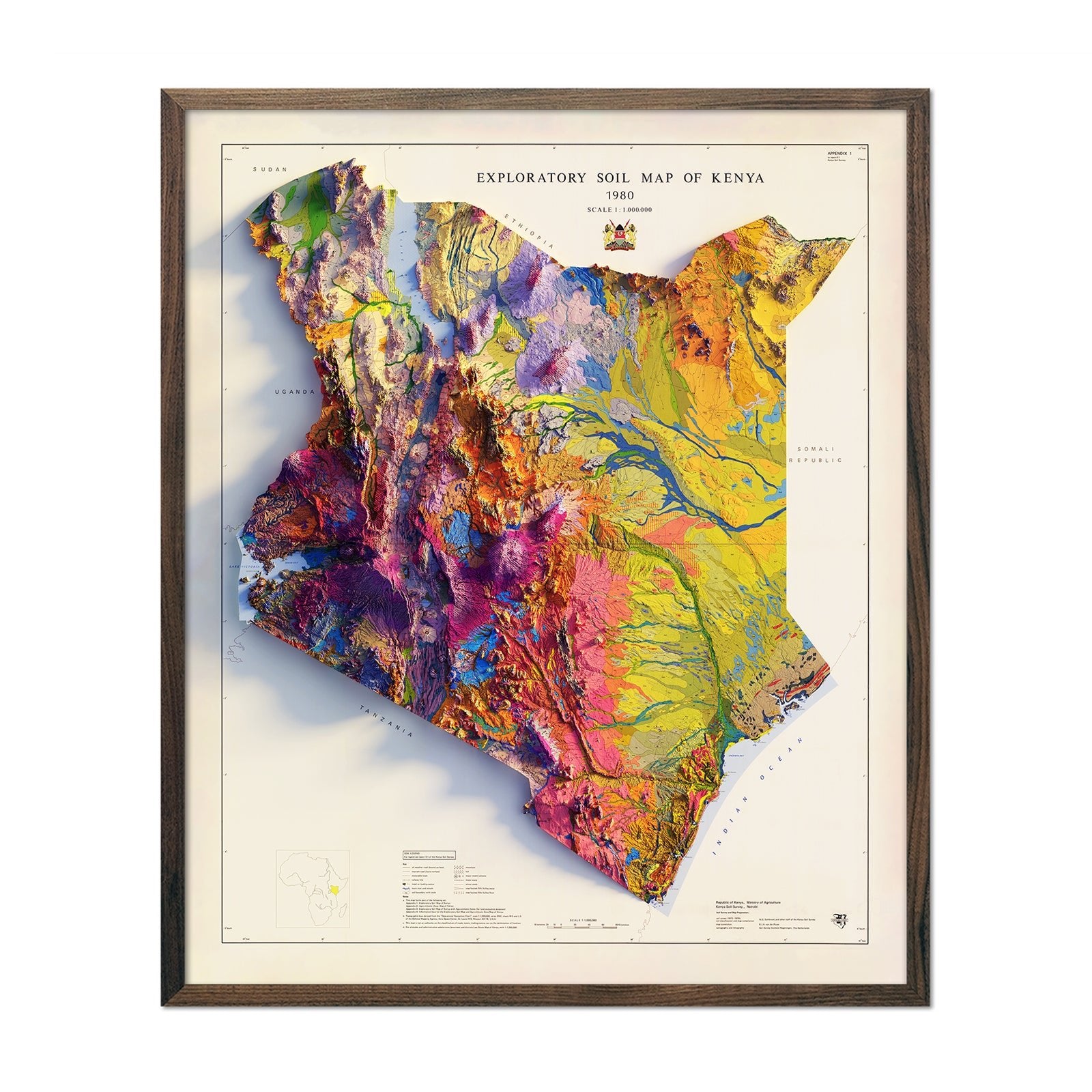
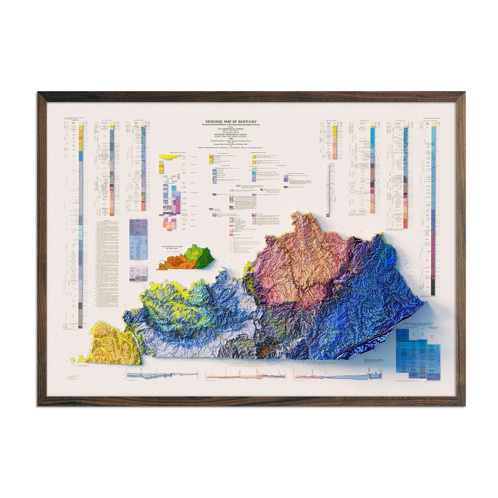
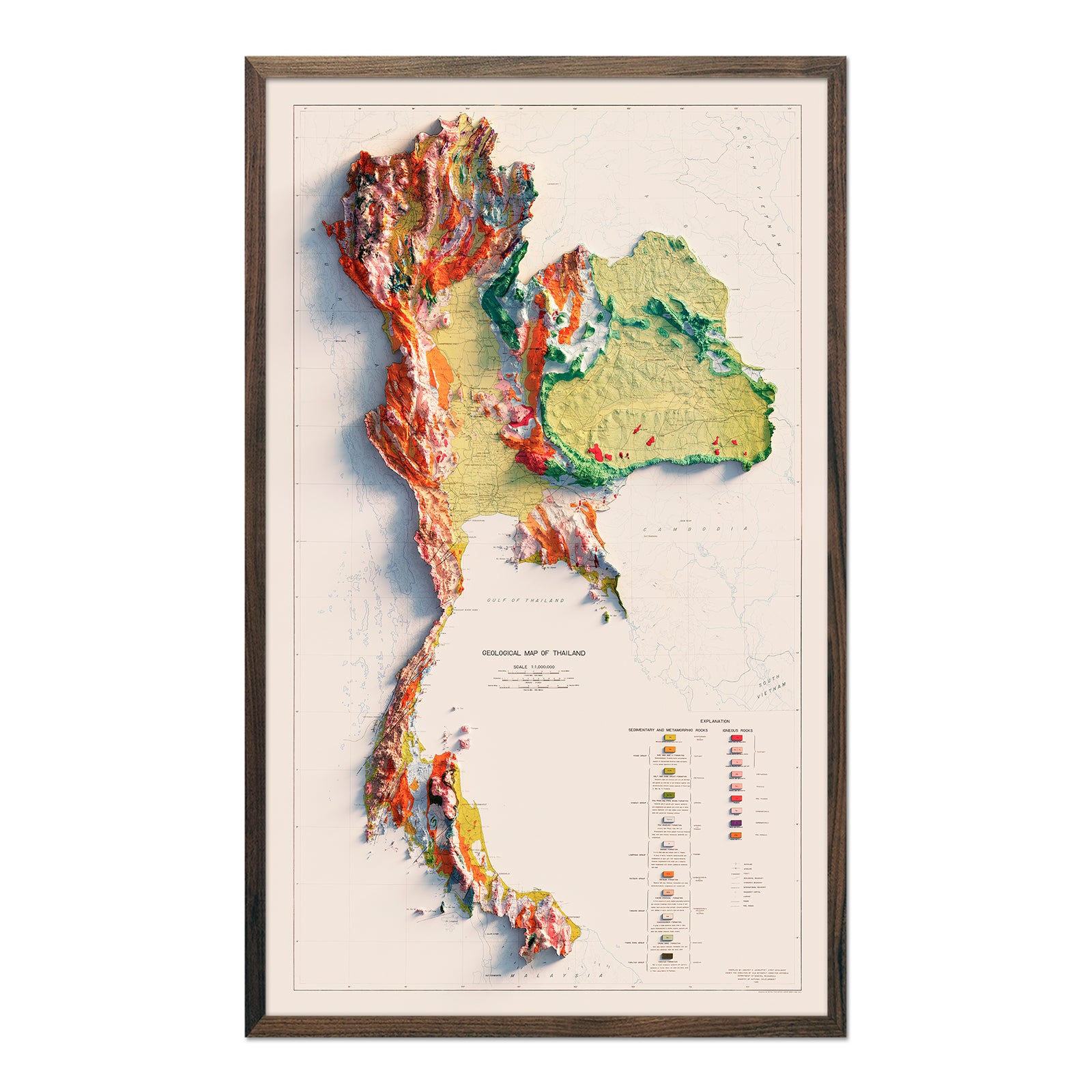
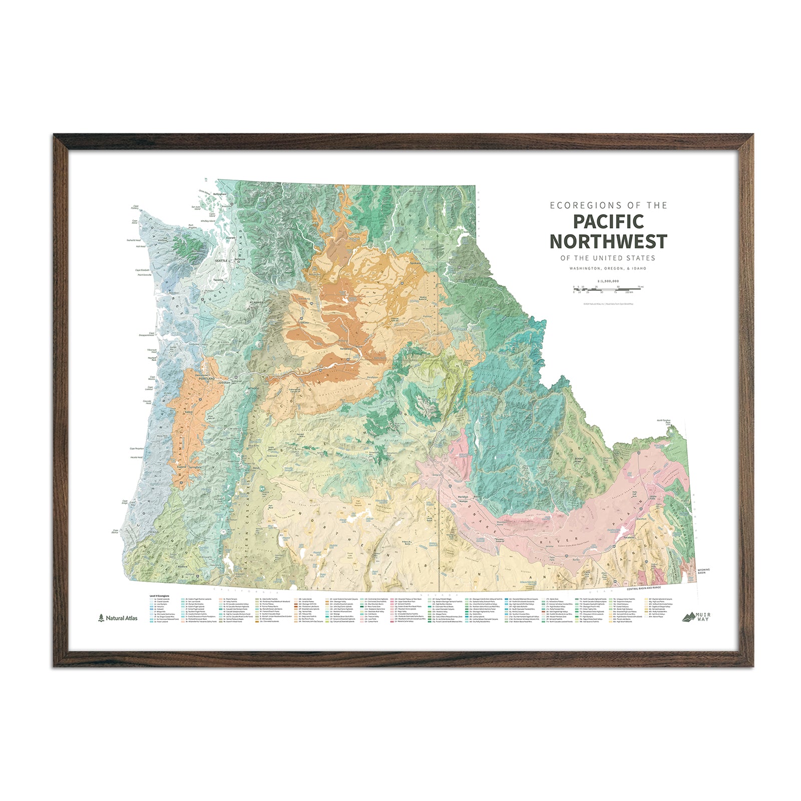
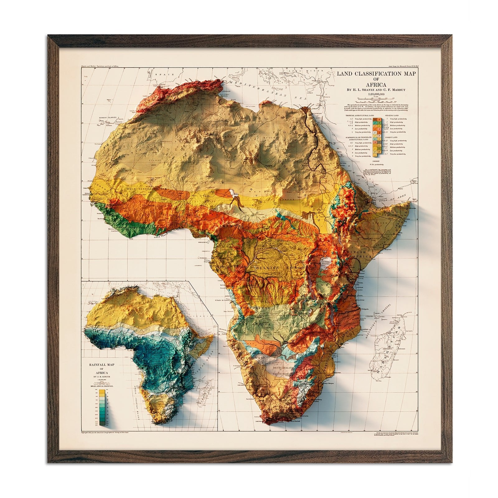
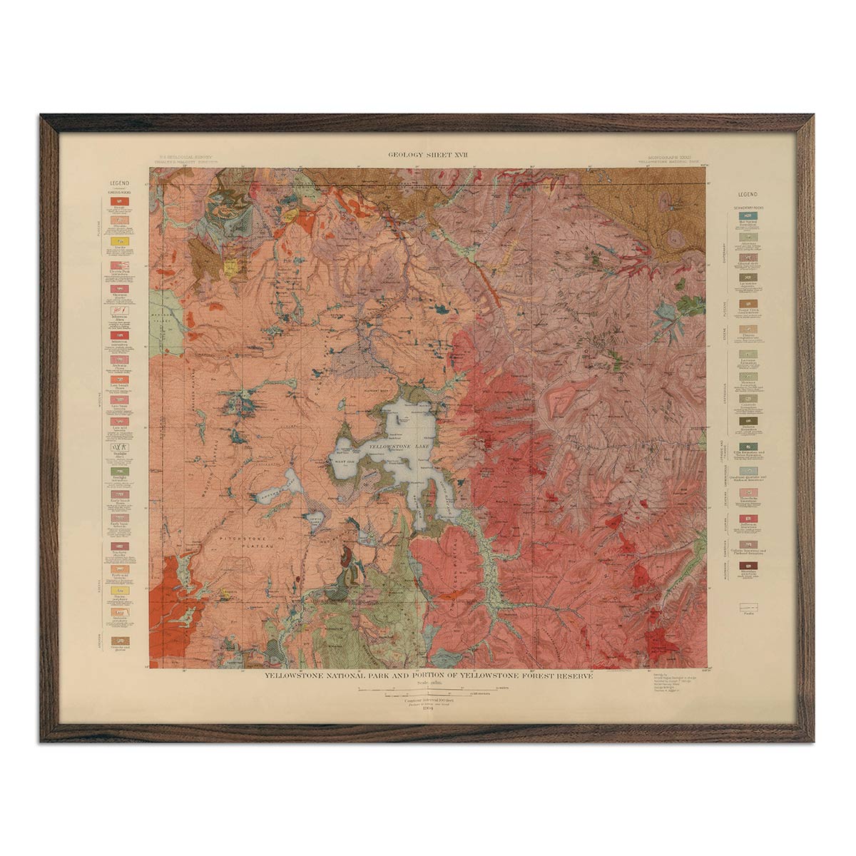
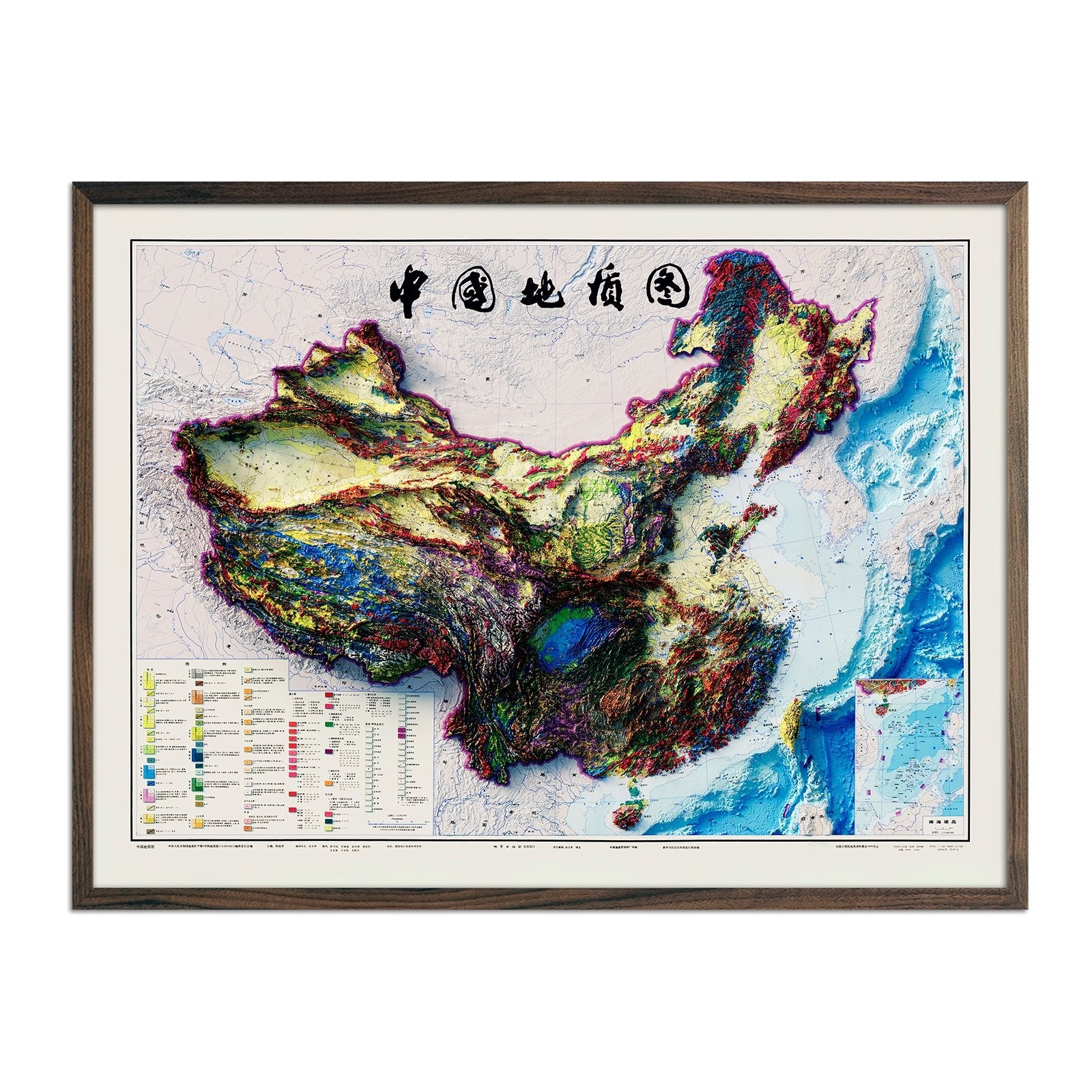
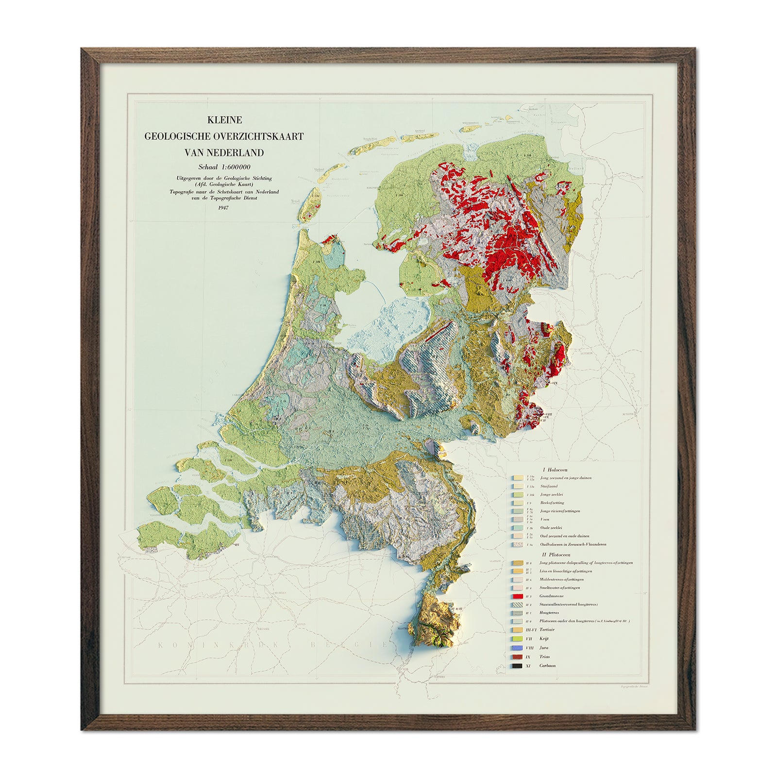

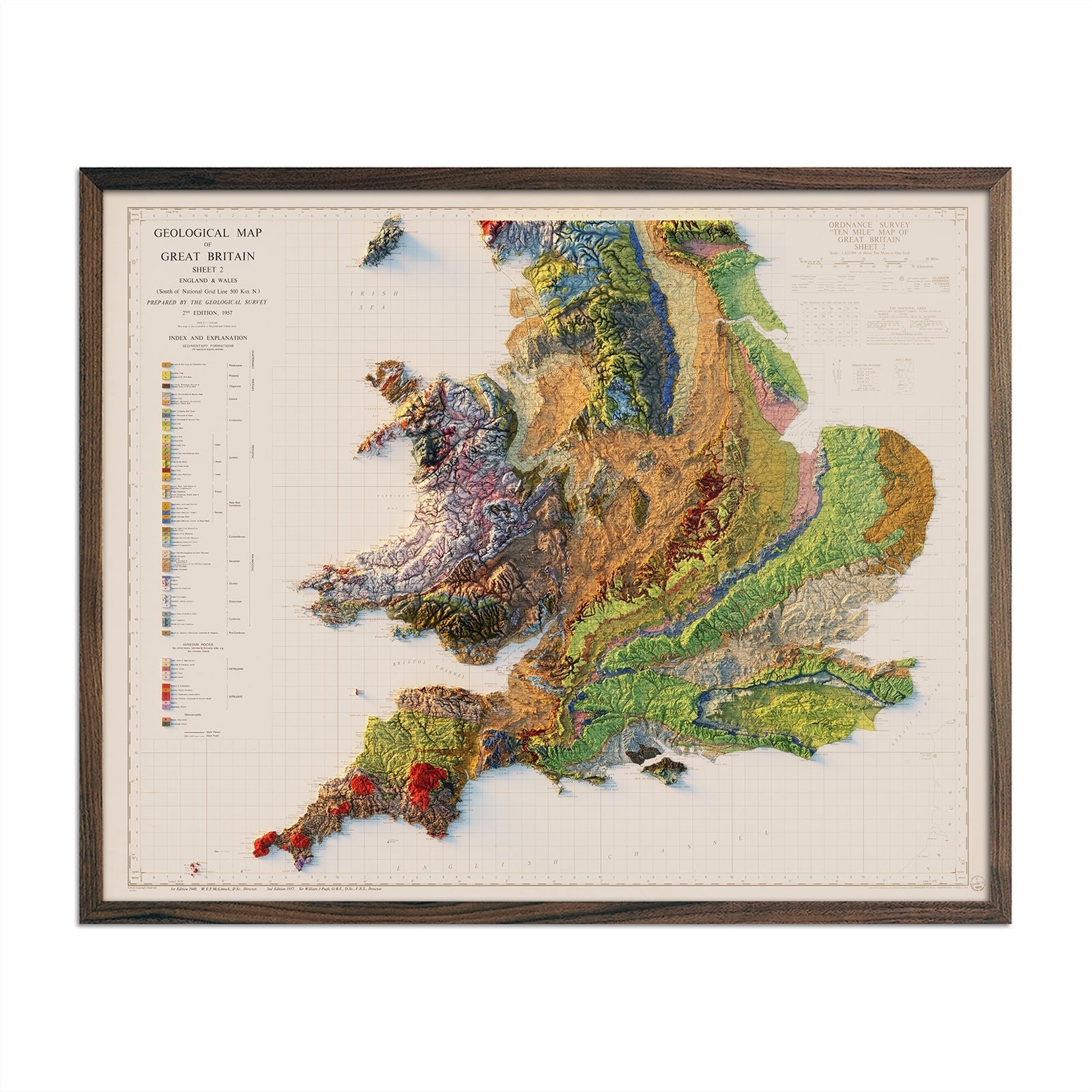

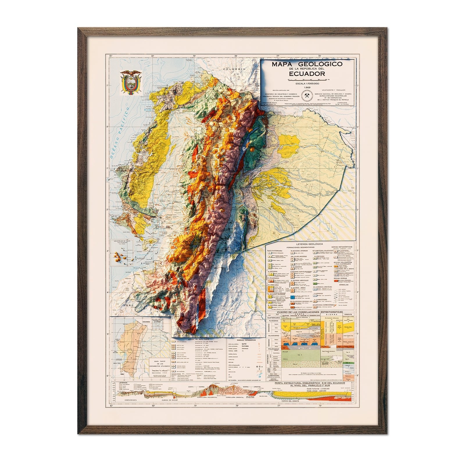
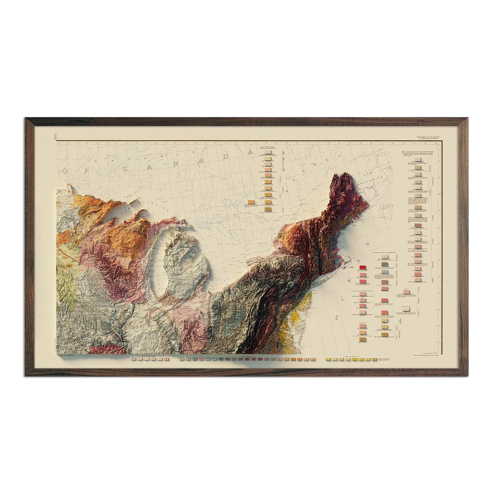
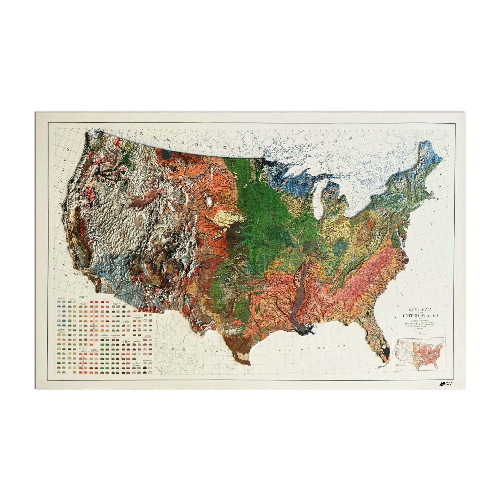
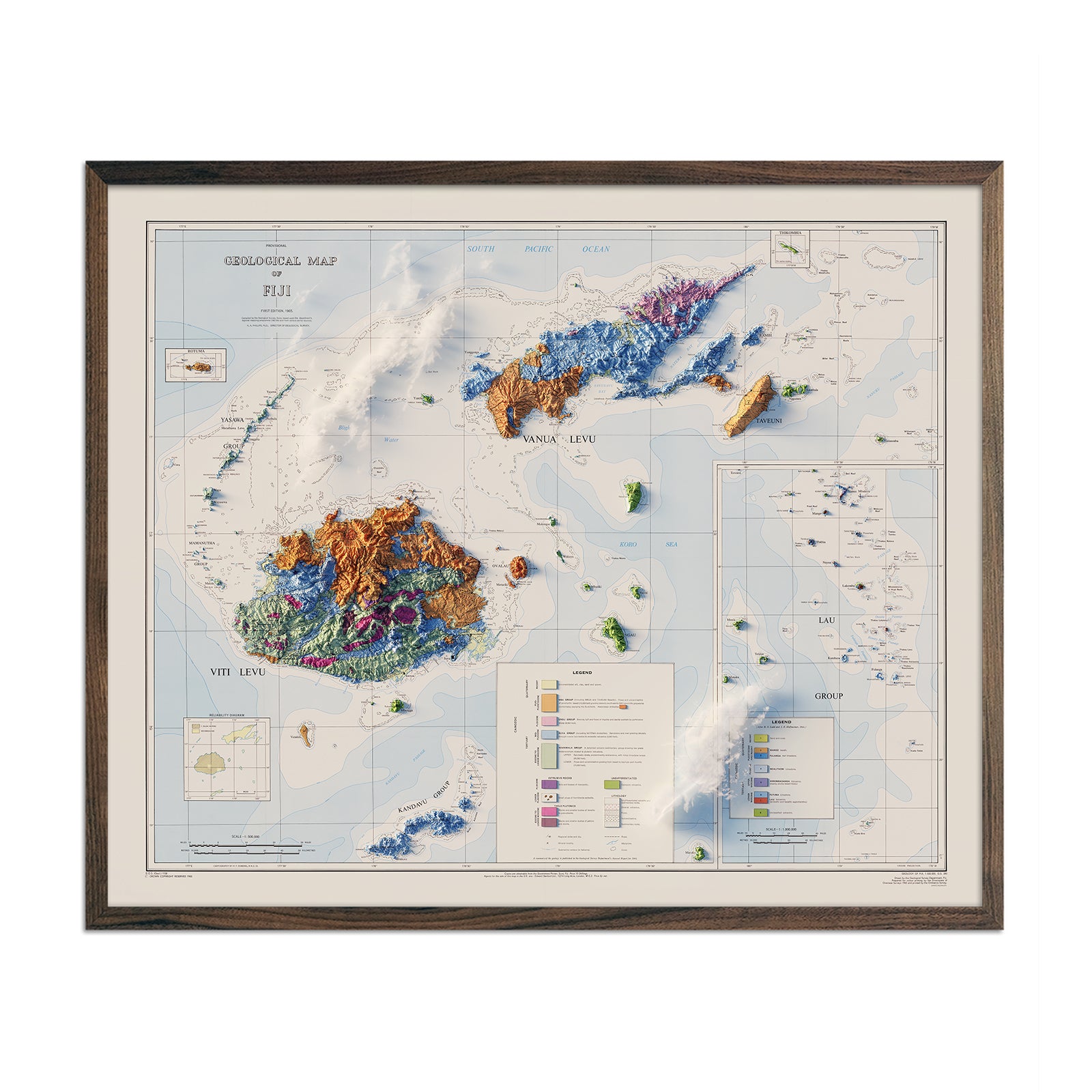
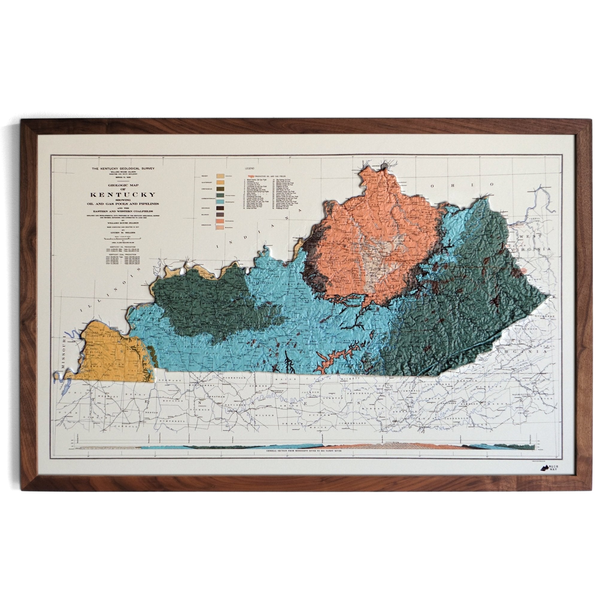
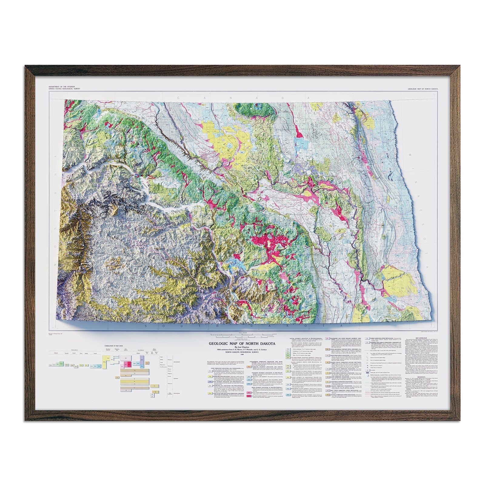
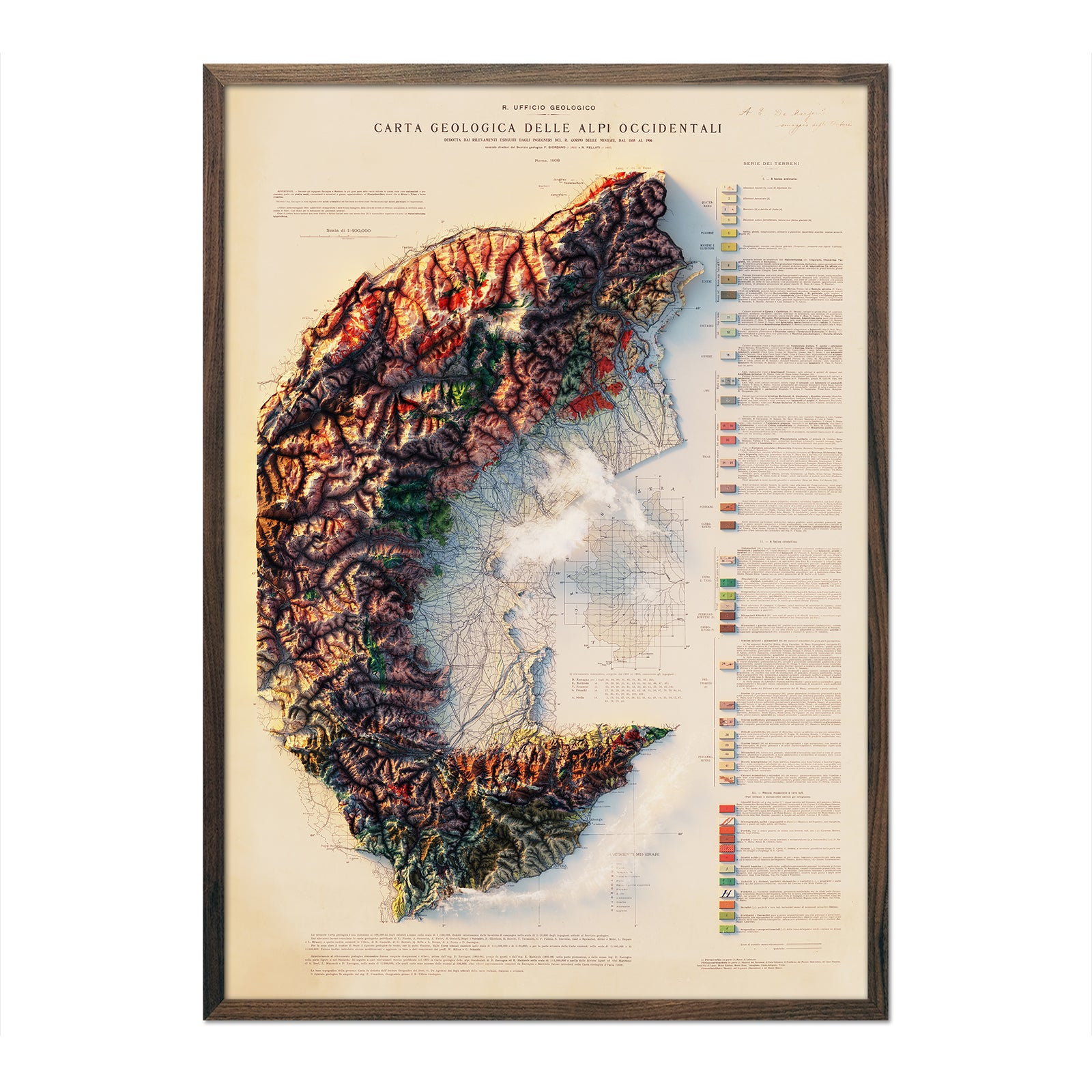
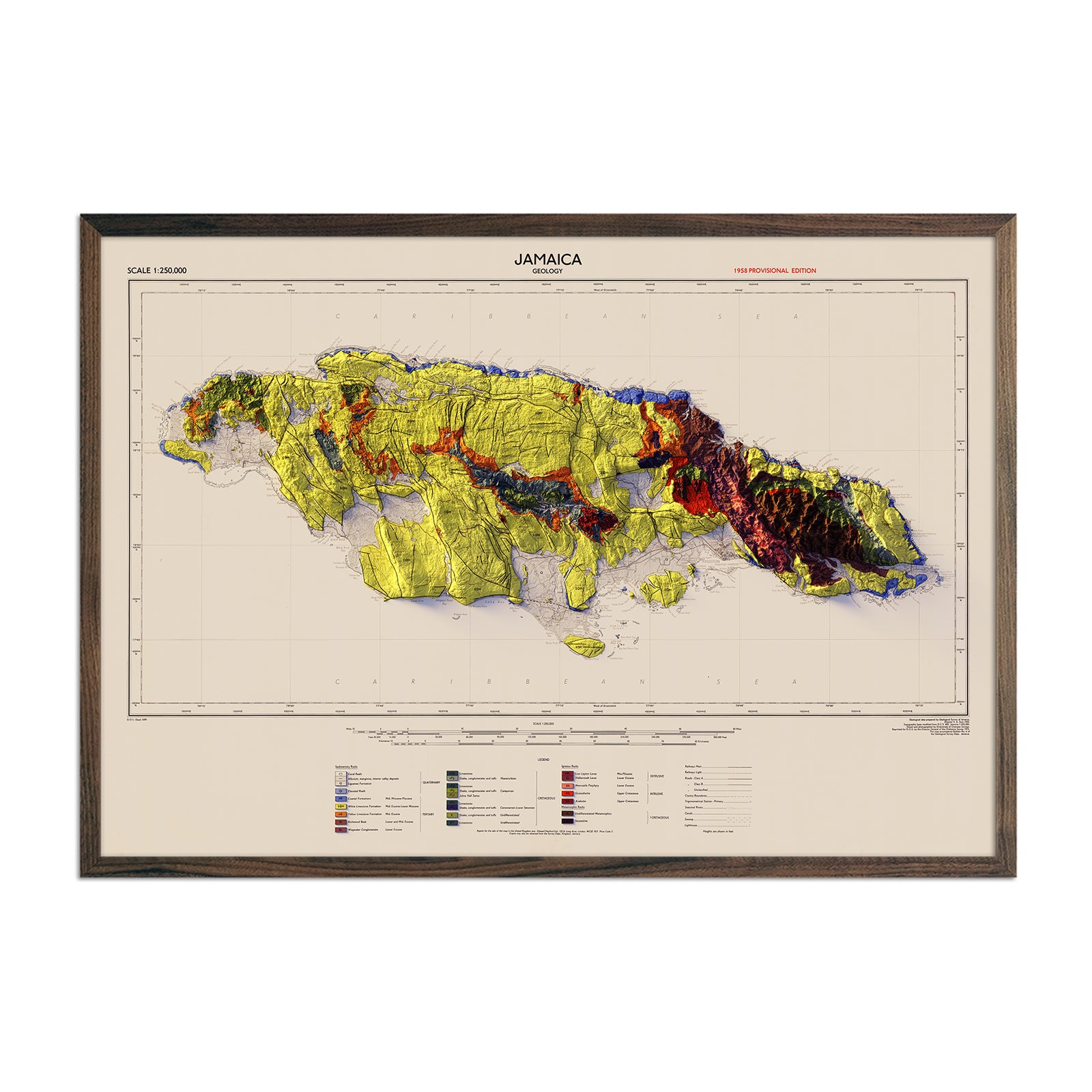
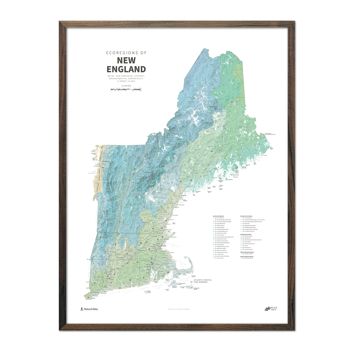
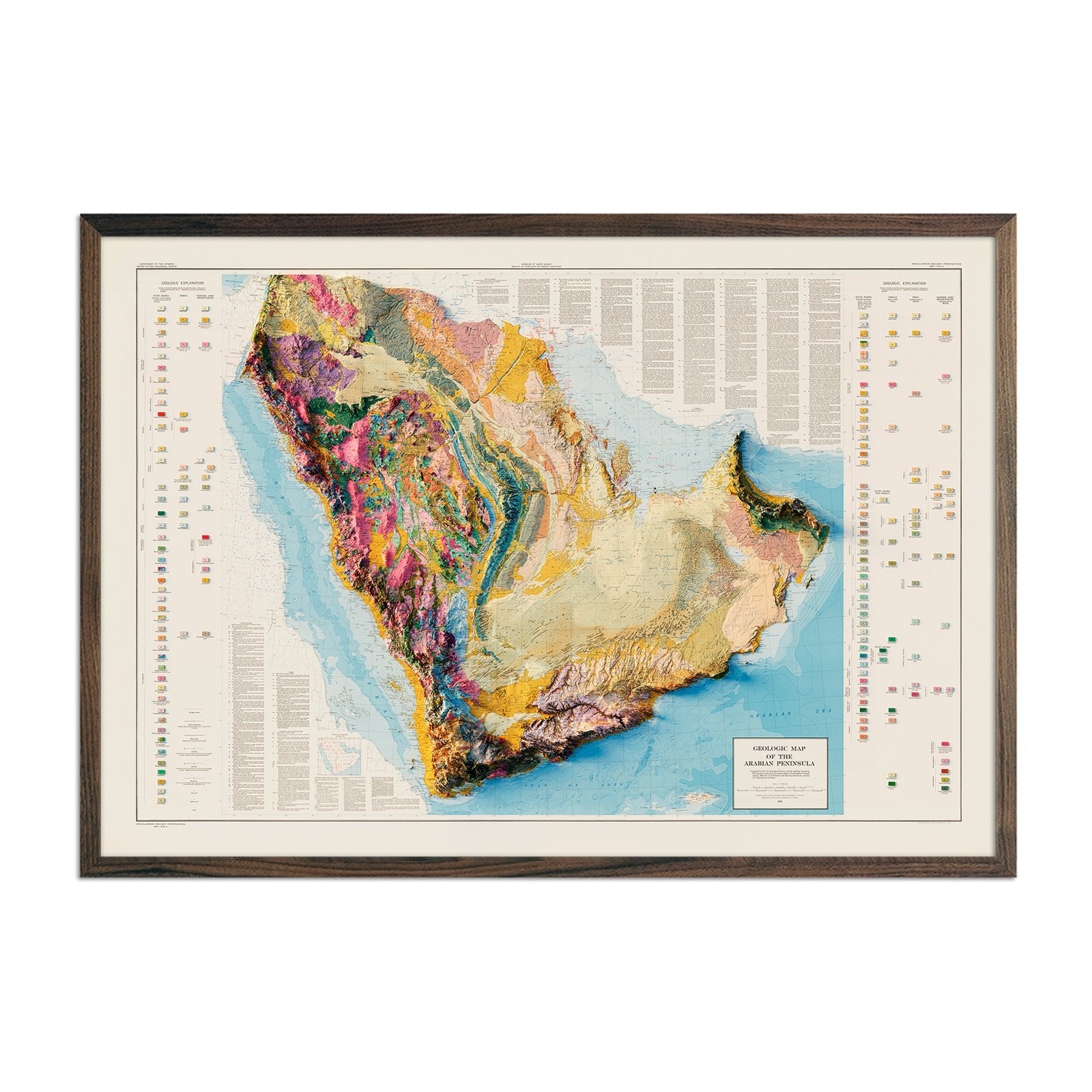
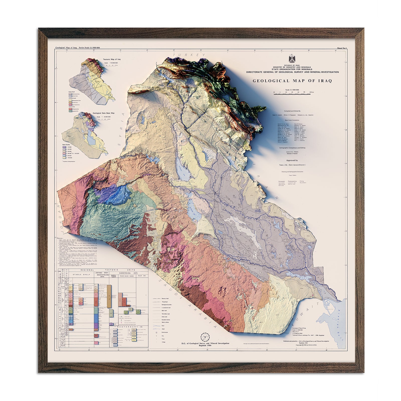
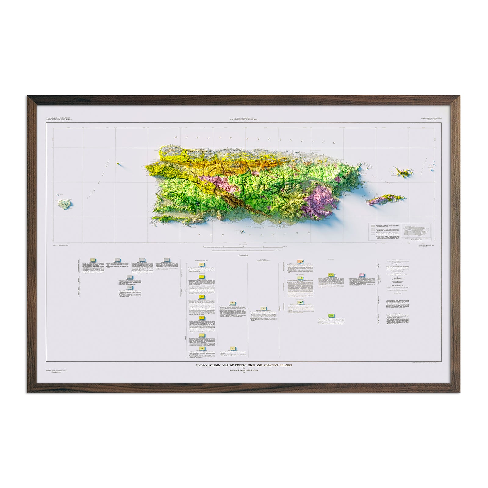

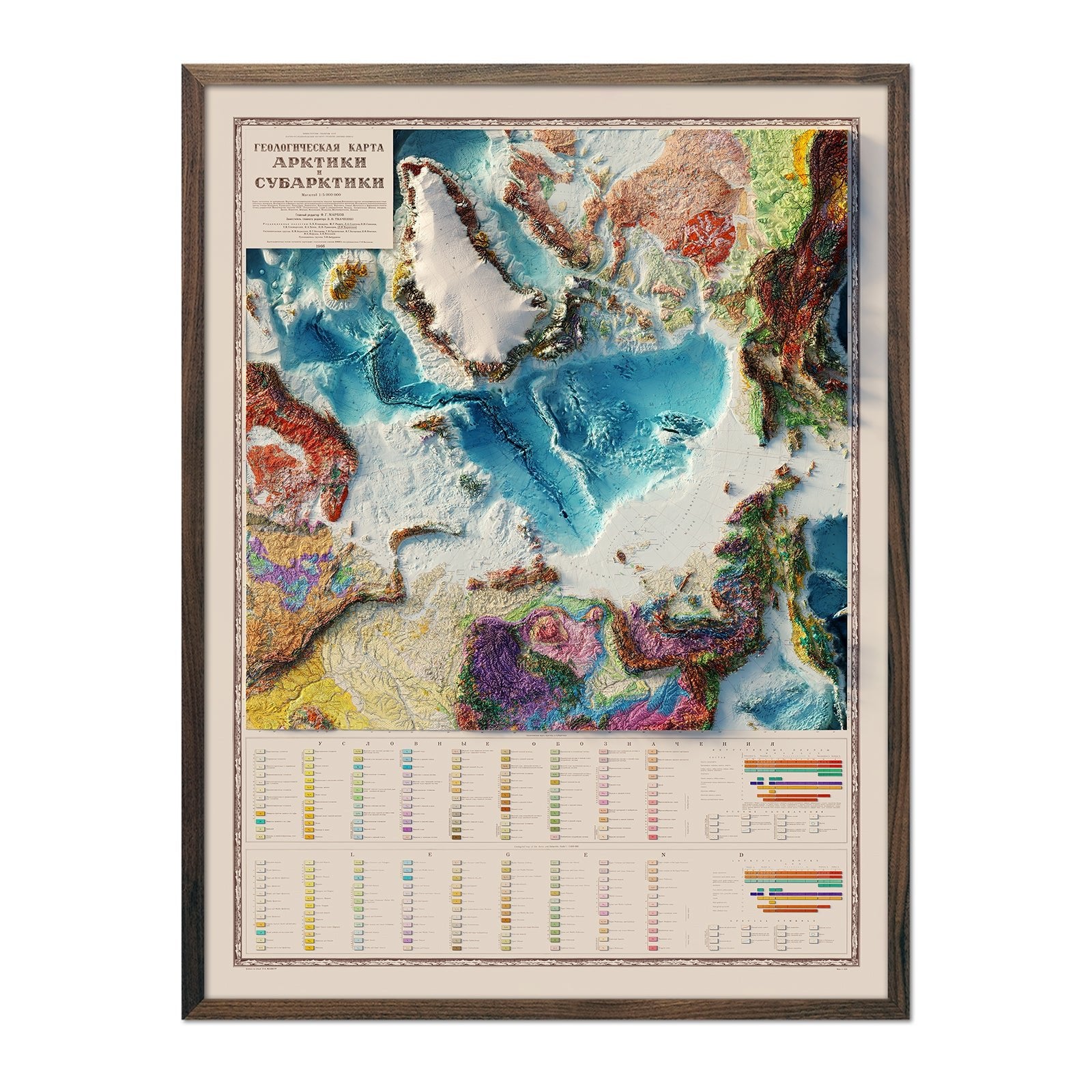
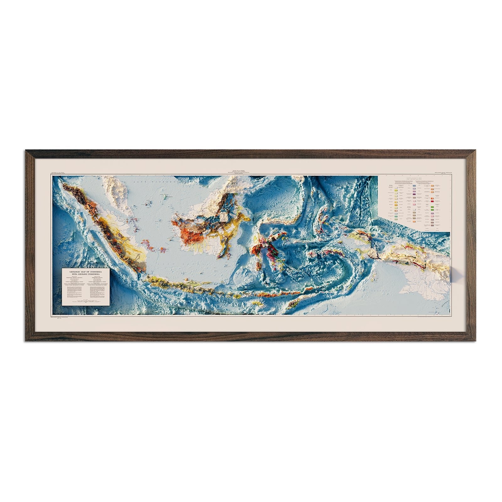
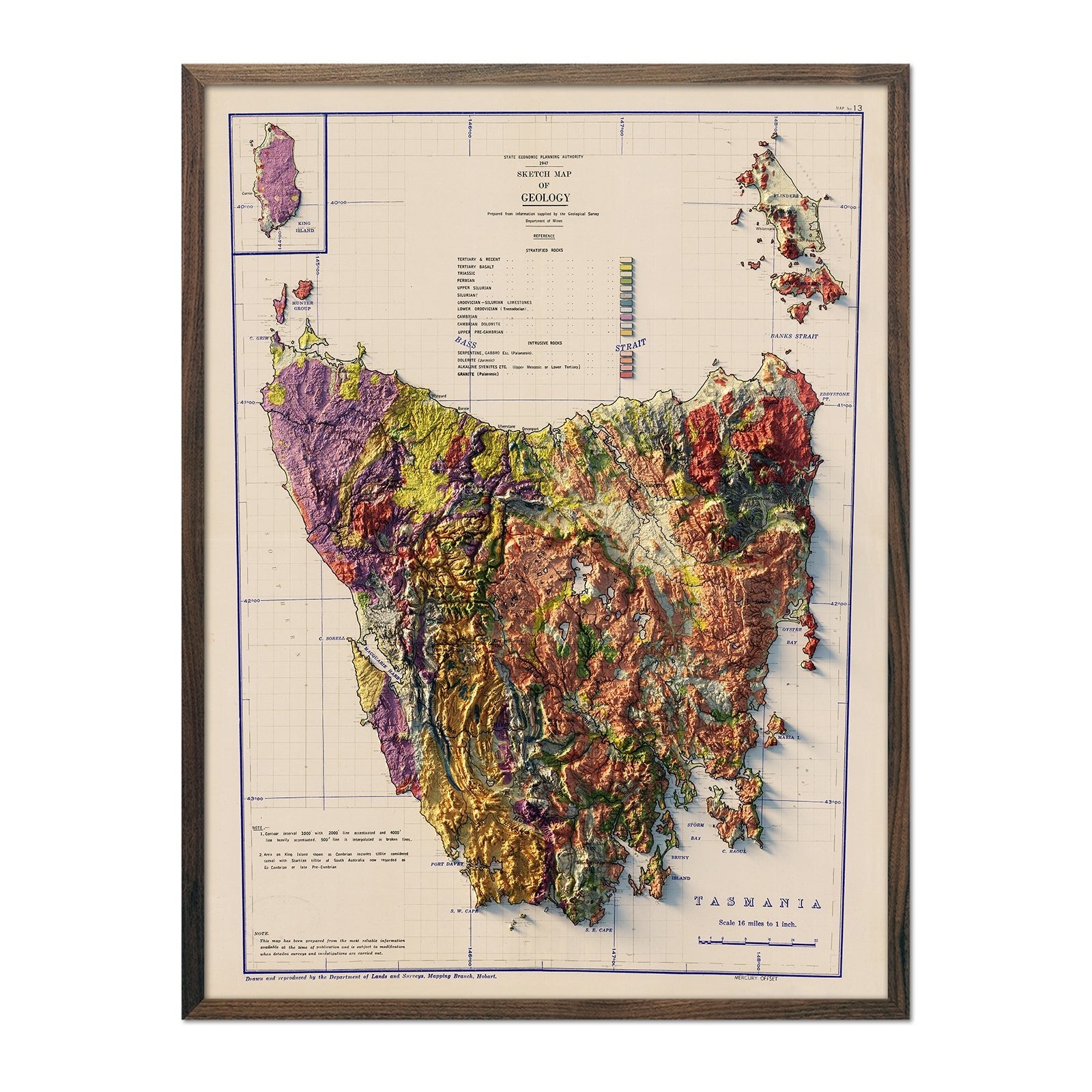
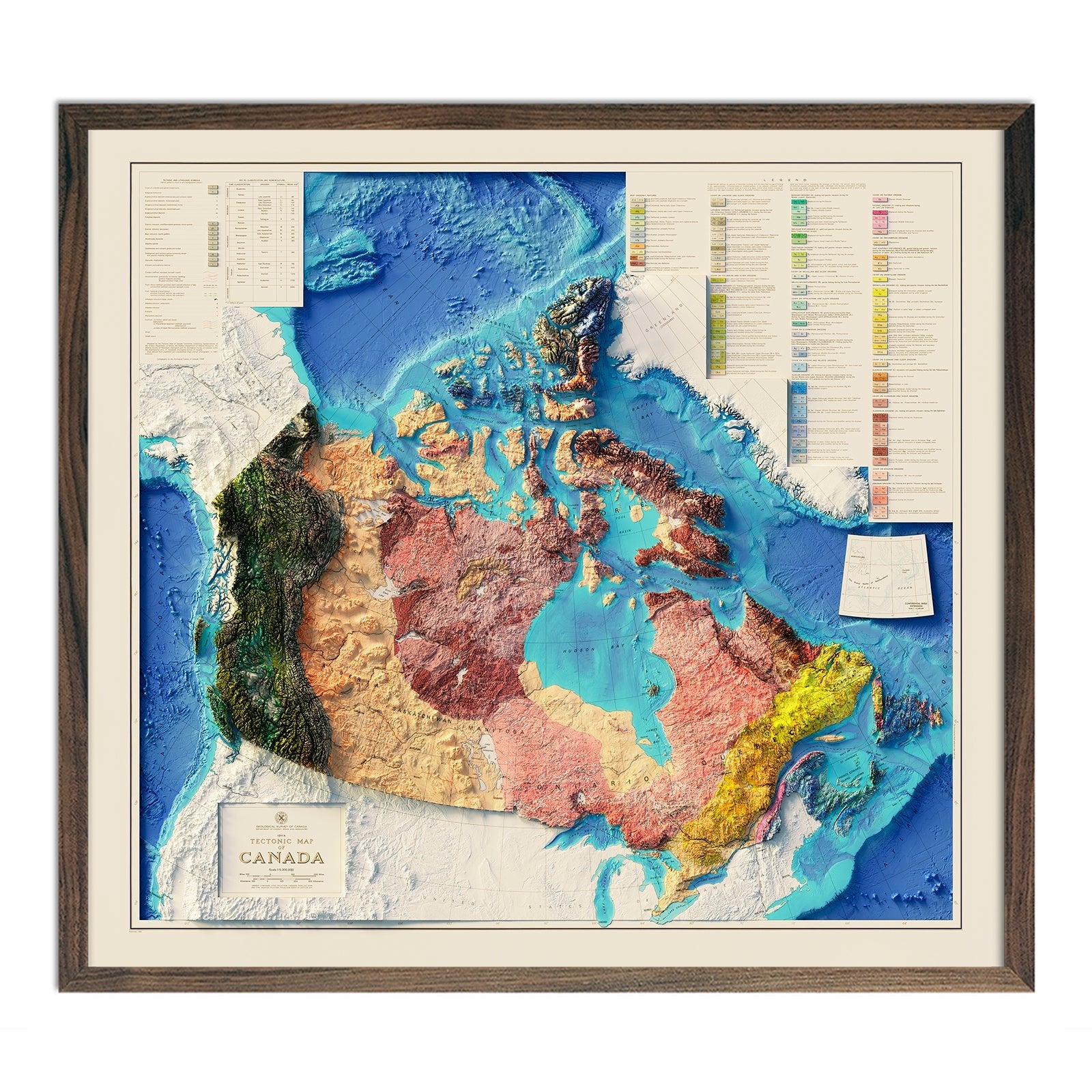
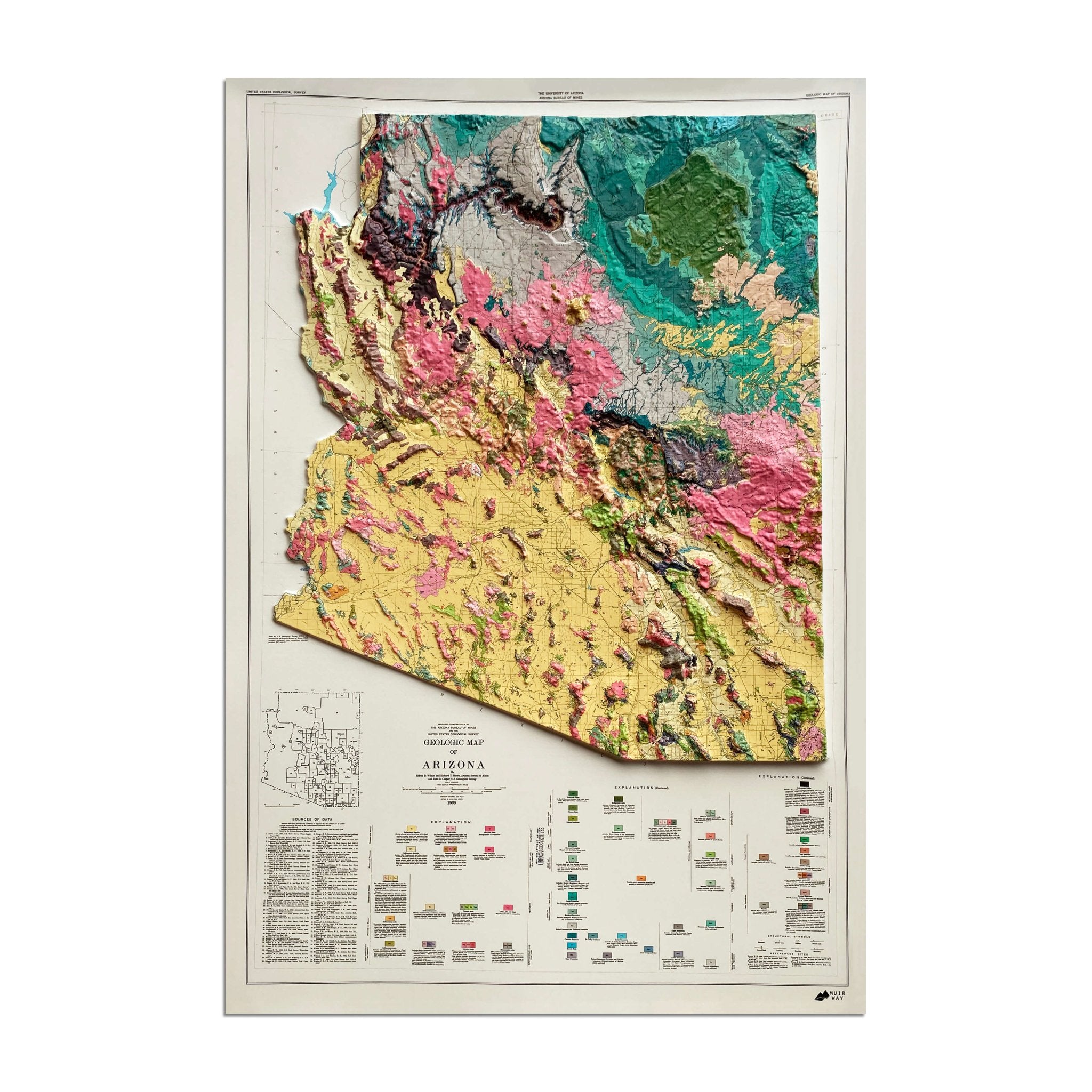
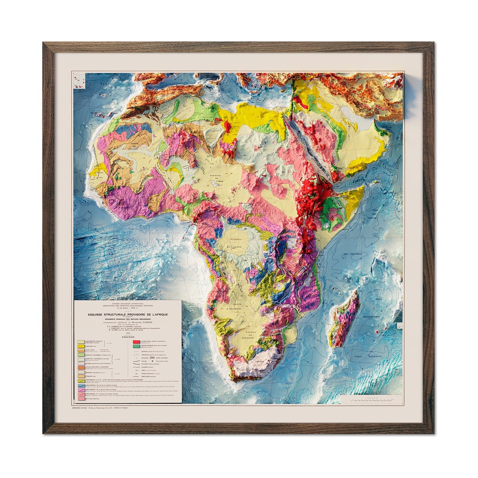
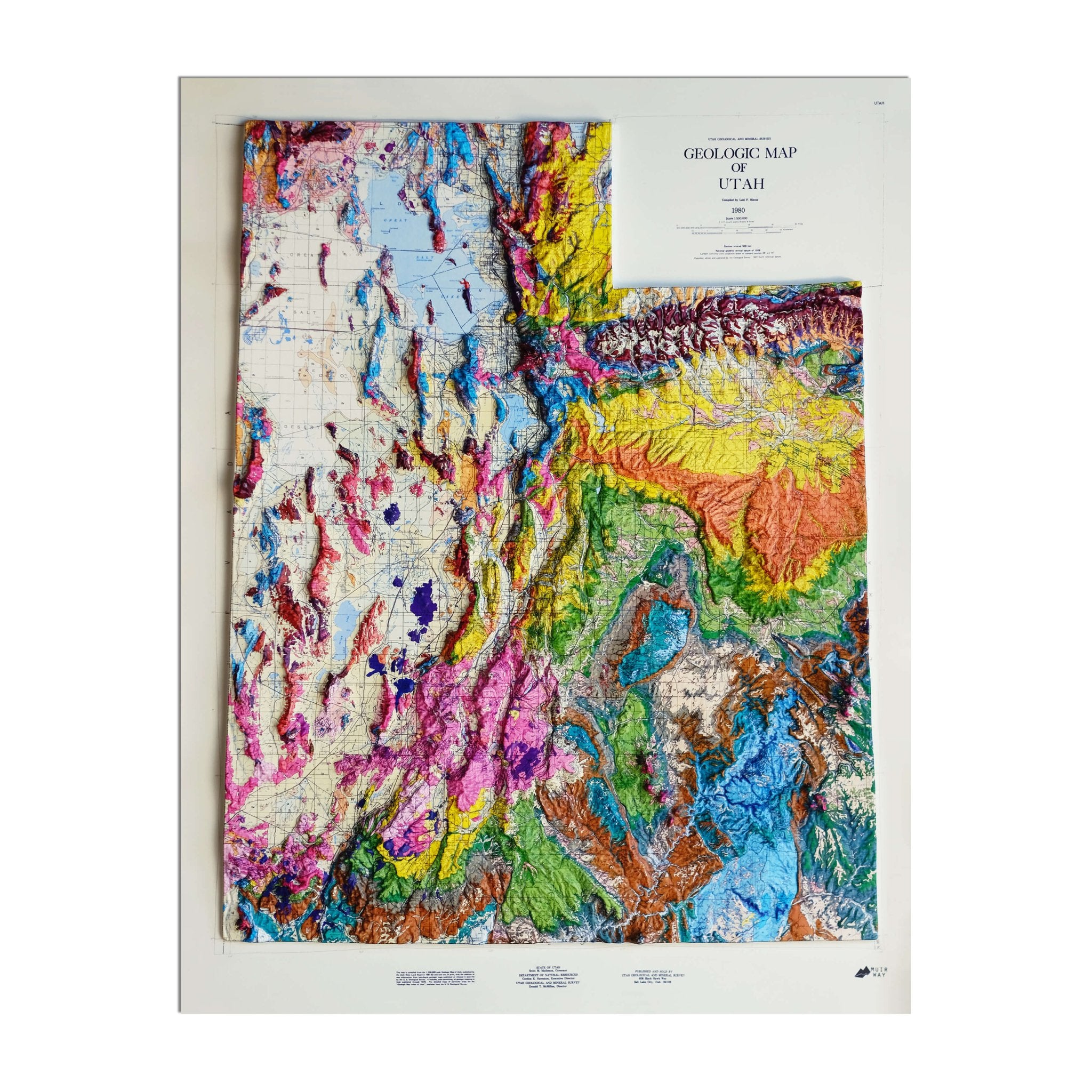
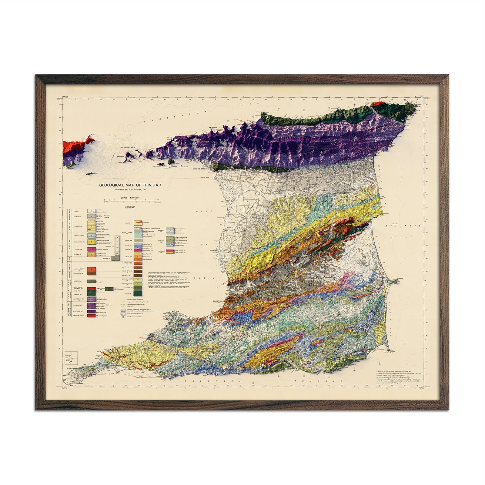
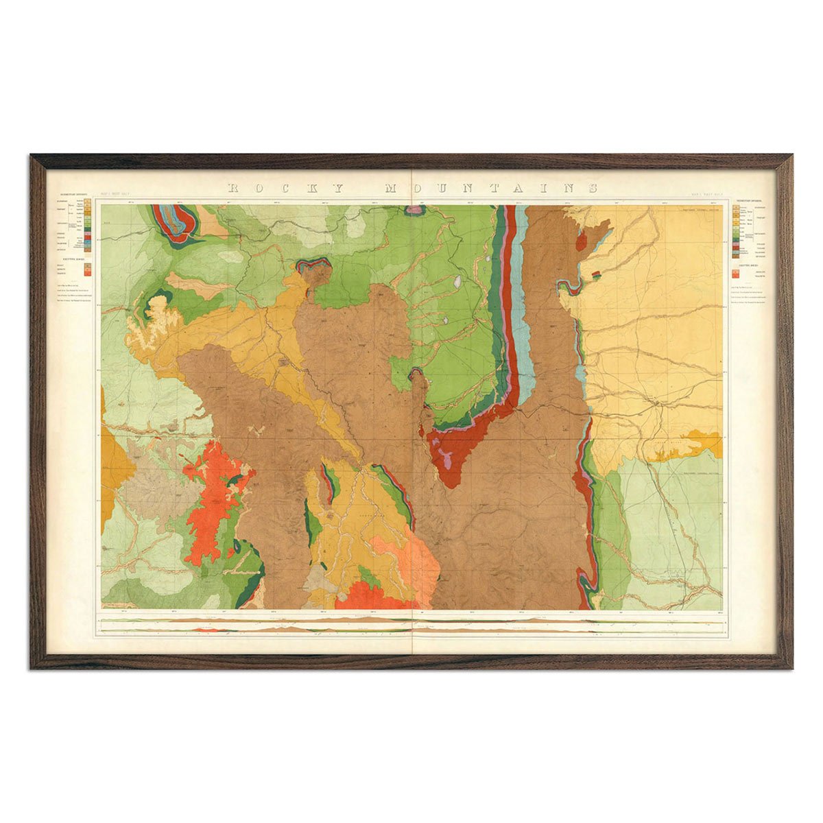
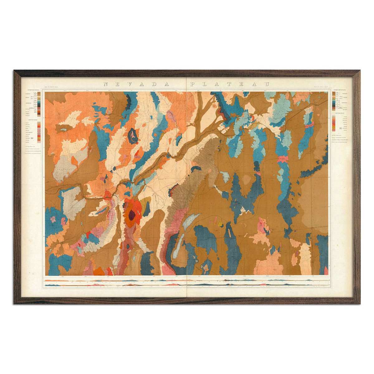
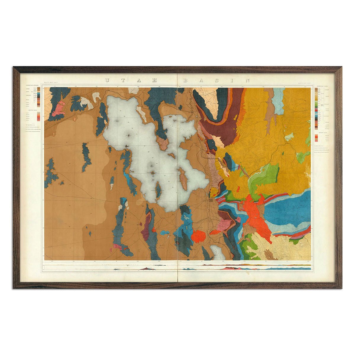
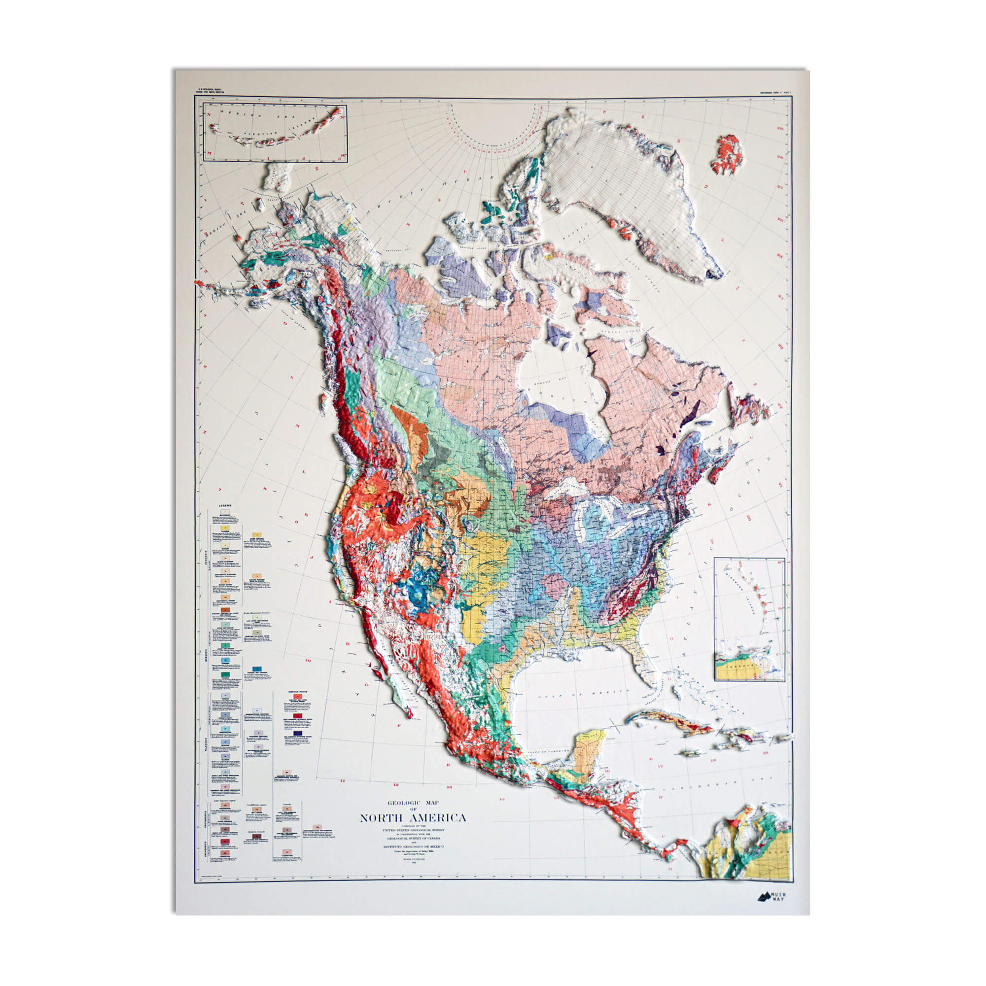
A geological map is a portrait of time. Instead of roads and borders, it records what's actually beneath the surface — the rock formations, fault lines, mineral deposits, and ancient seabeds that built a landscape over millions of years. Where a road map shows you how to get somewhere, a geological map shows you why that place looks the way it does: why a canyon cuts where it does, why one ridge is granite and the next is sandstone, why a valley was once the floor of an inland sea. Geologists have surveyed the ground this way for over a century, walking the terrain and hand-coloring formations onto topographic base maps — and those original surveys are the source material behind every print in this collection.
Why ours are different
We work from historic and modern geological survey data, then reproduce it with a level of color accuracy and print quality that most scans and reprints don't bother with. Fine details — thin fault lines, subtle shifts between rock units, small-scale mineral deposits — stay crisp rather than muddying together, so the map is as legible as it is beautiful. Every piece is produced in-house on archival materials built to hold their color for decades, not fade in a sunny room after a year.
What we offer
Shaded relief maps — printed on premium fine art paper, these capture the full palette of a geological survey in fine detail: every formation boundary, fault line, and color-coded rock unit rendered sharp enough to read up close. Available unframed, or framed in walnut or black to hang ready-to-go.
3D Raised relief maps — the same geological data, sculpted into physical topography. Mountains genuinely rise off the surface and canyons genuinely drop away, so you can see and feel the terrain's contours, not just its colors. These arrive unframed, or framed, finished, and ready to hang.
Whether you're a hiker who wants the range you climbed on your wall, an earth scientist who appreciates the accuracy, or someone who's simply always wondered what's underneath a mountain, these maps turn geology into something you can live with — a quiet, detailed record of how a landscape came to be.