


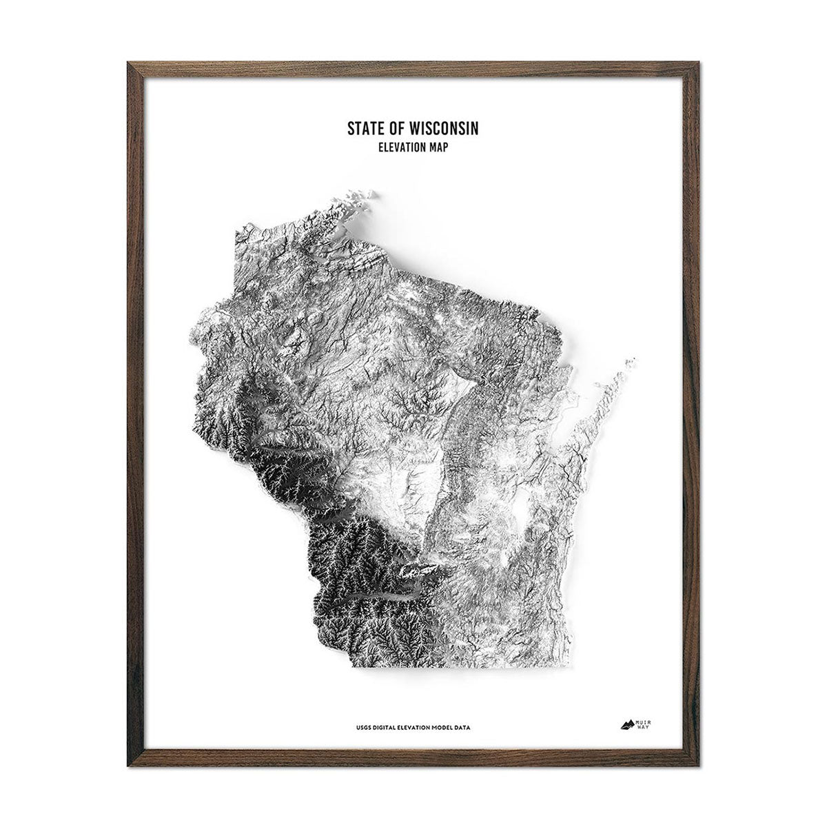
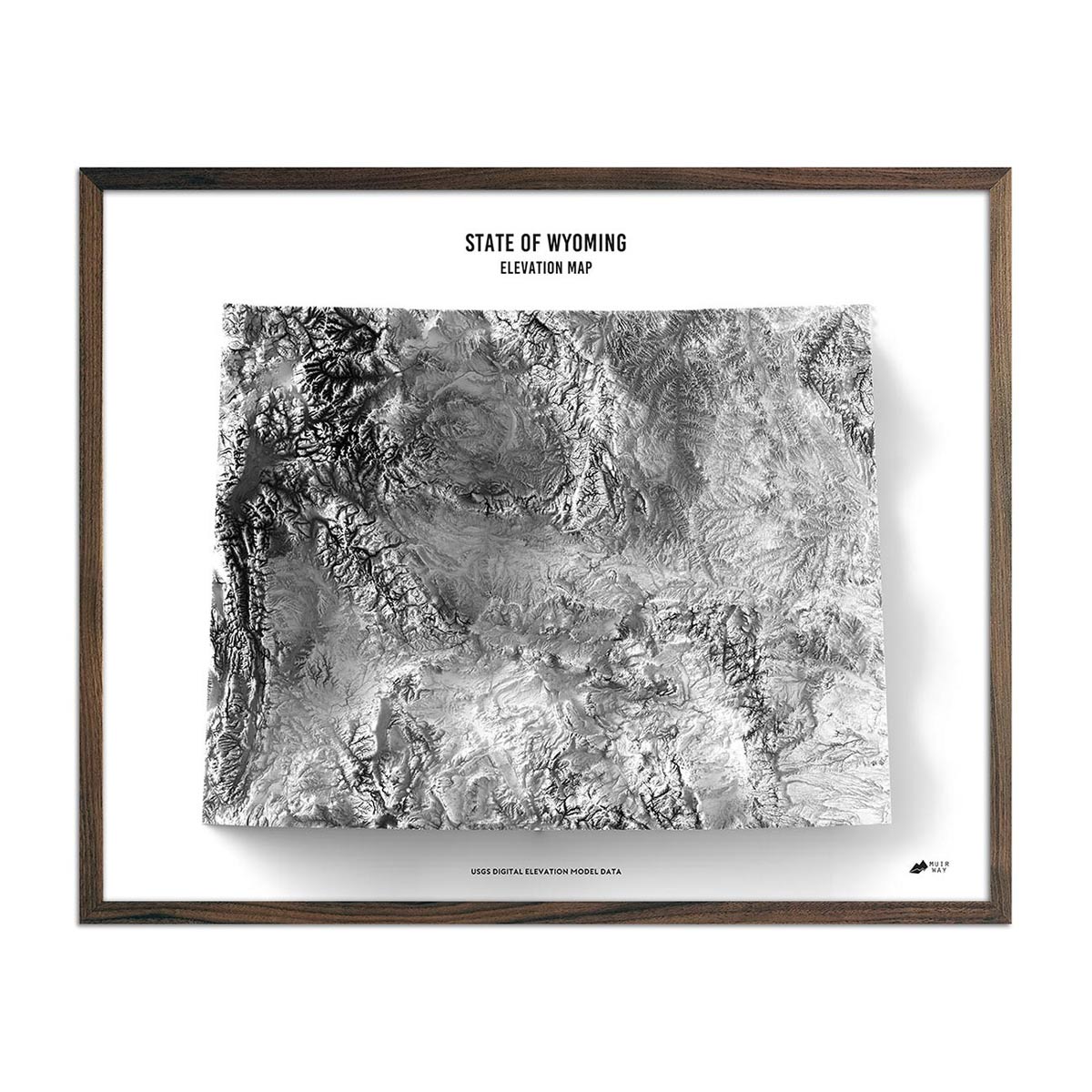
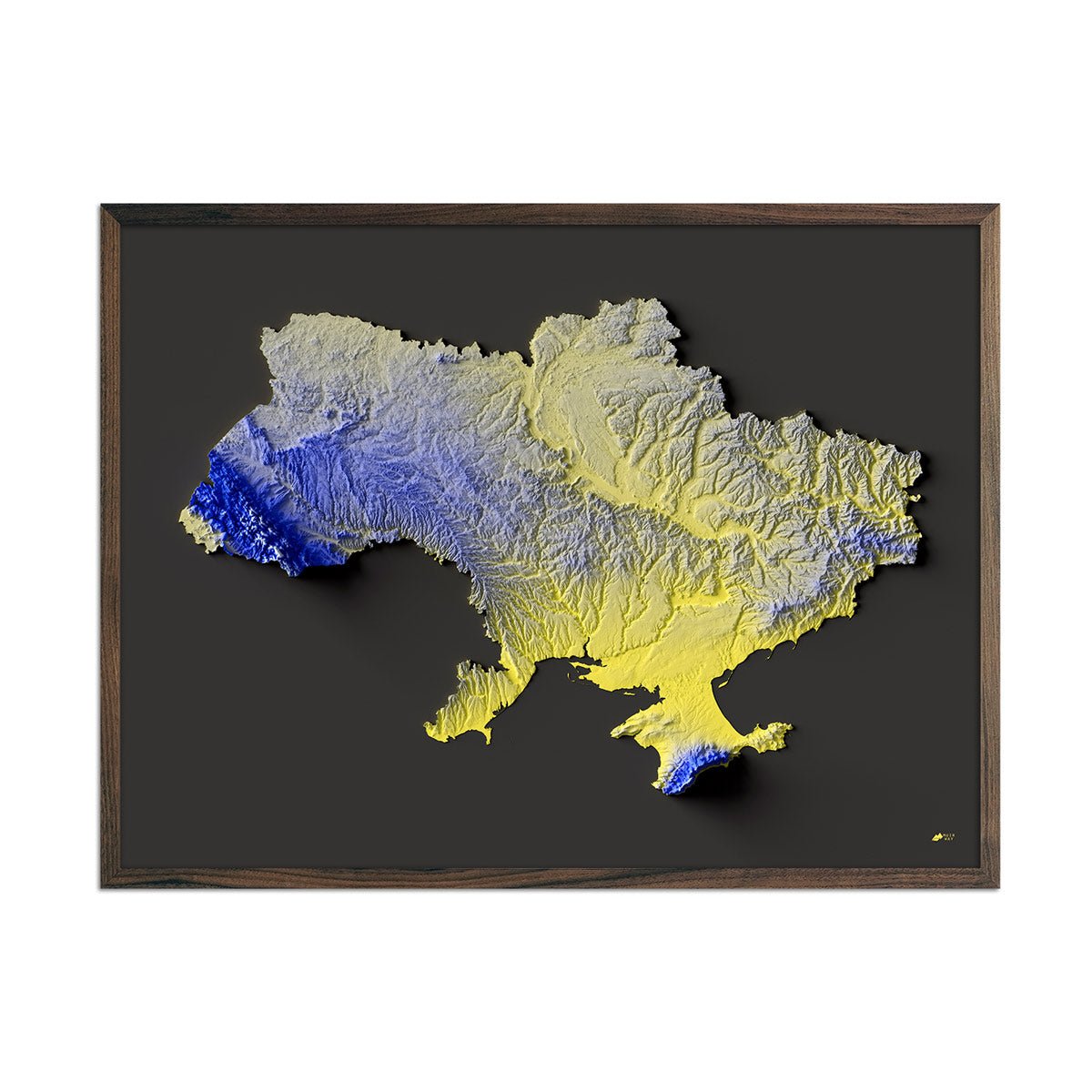
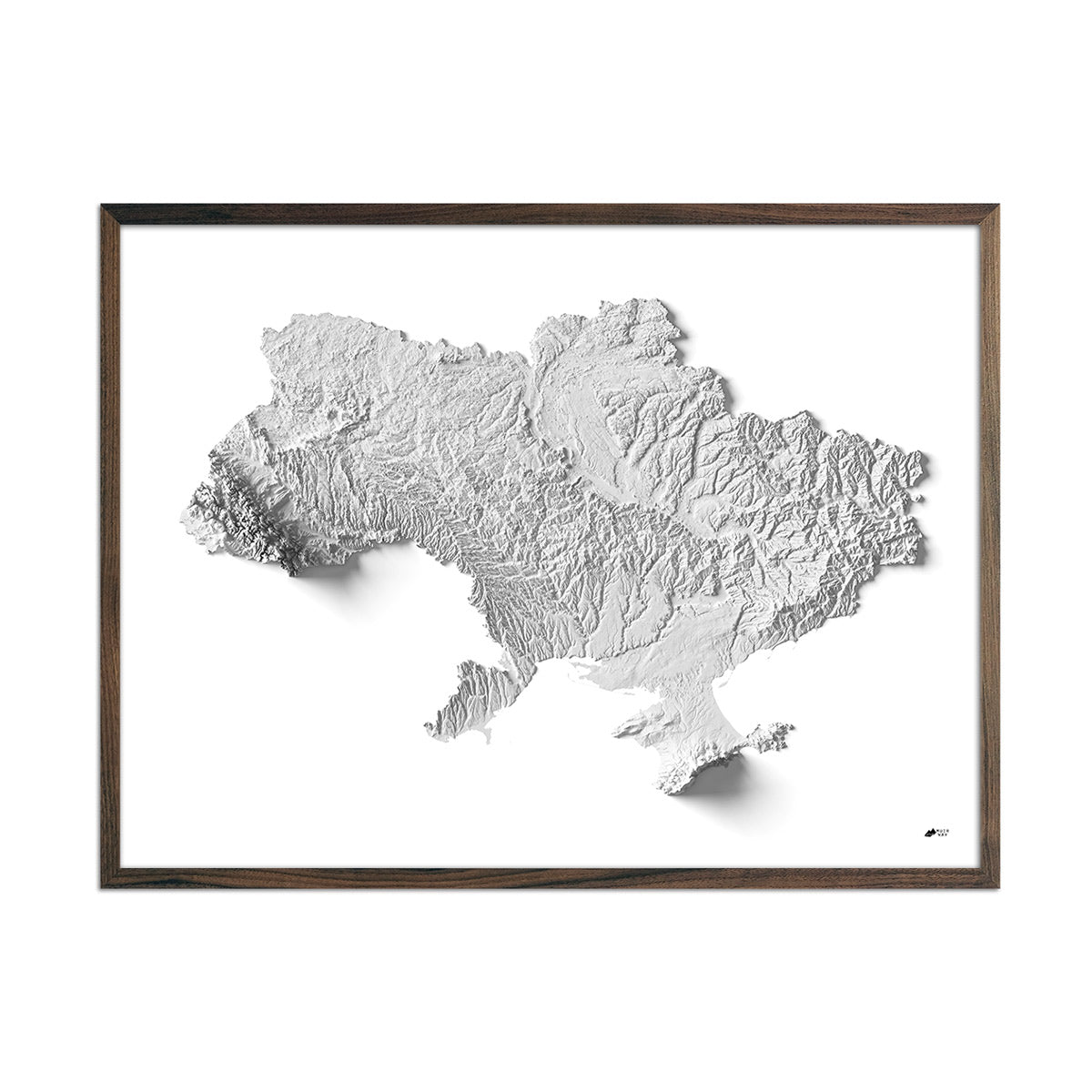
What is an Elevation Map?
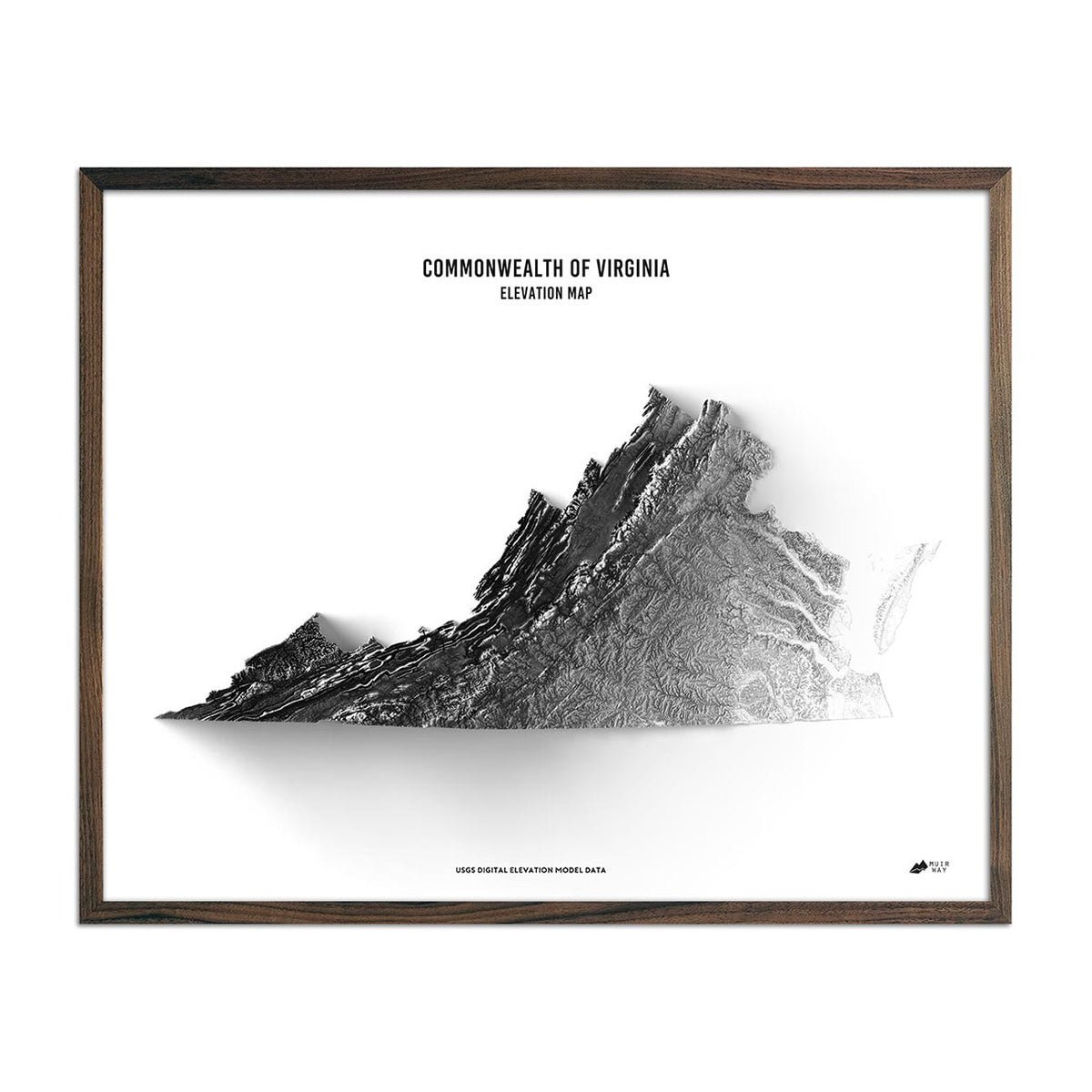
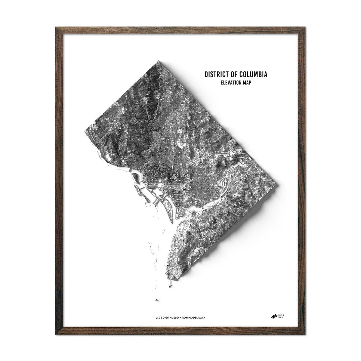
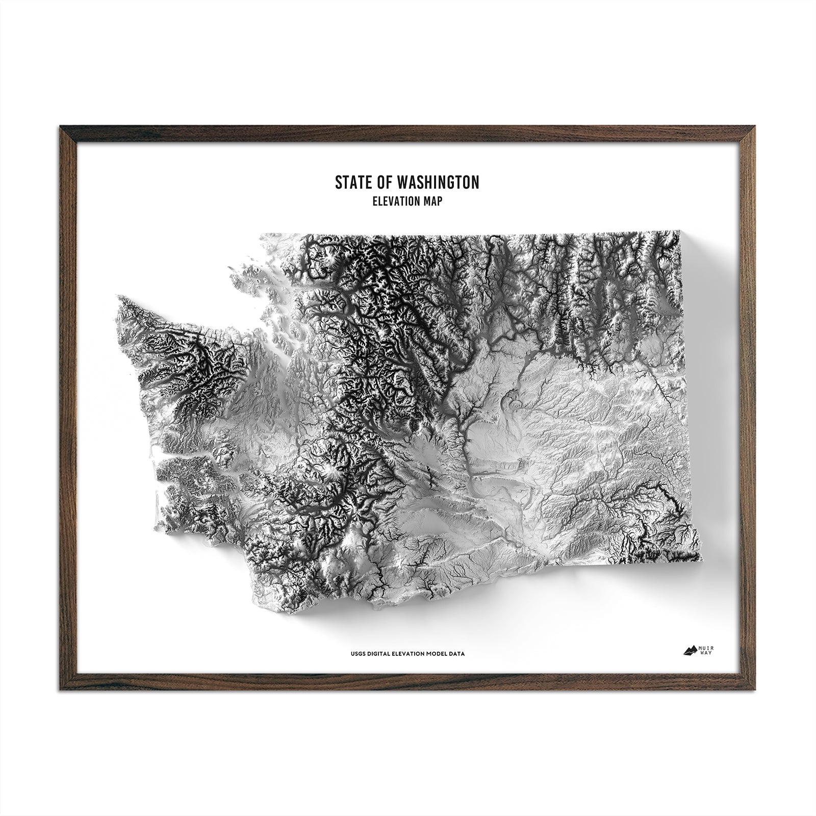
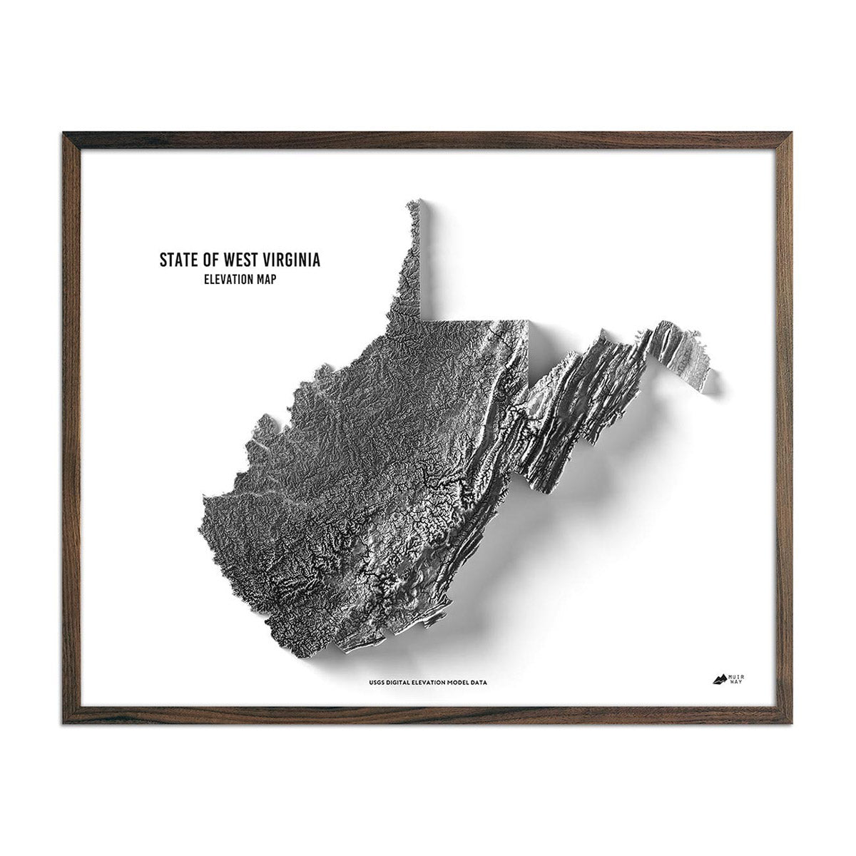
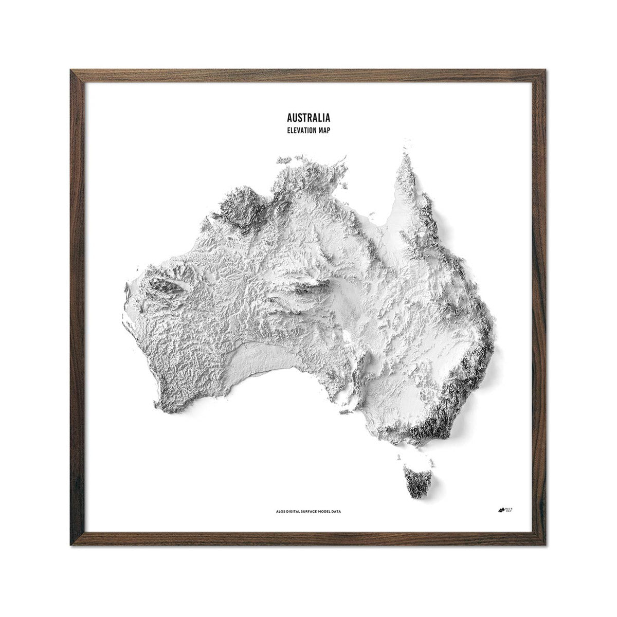
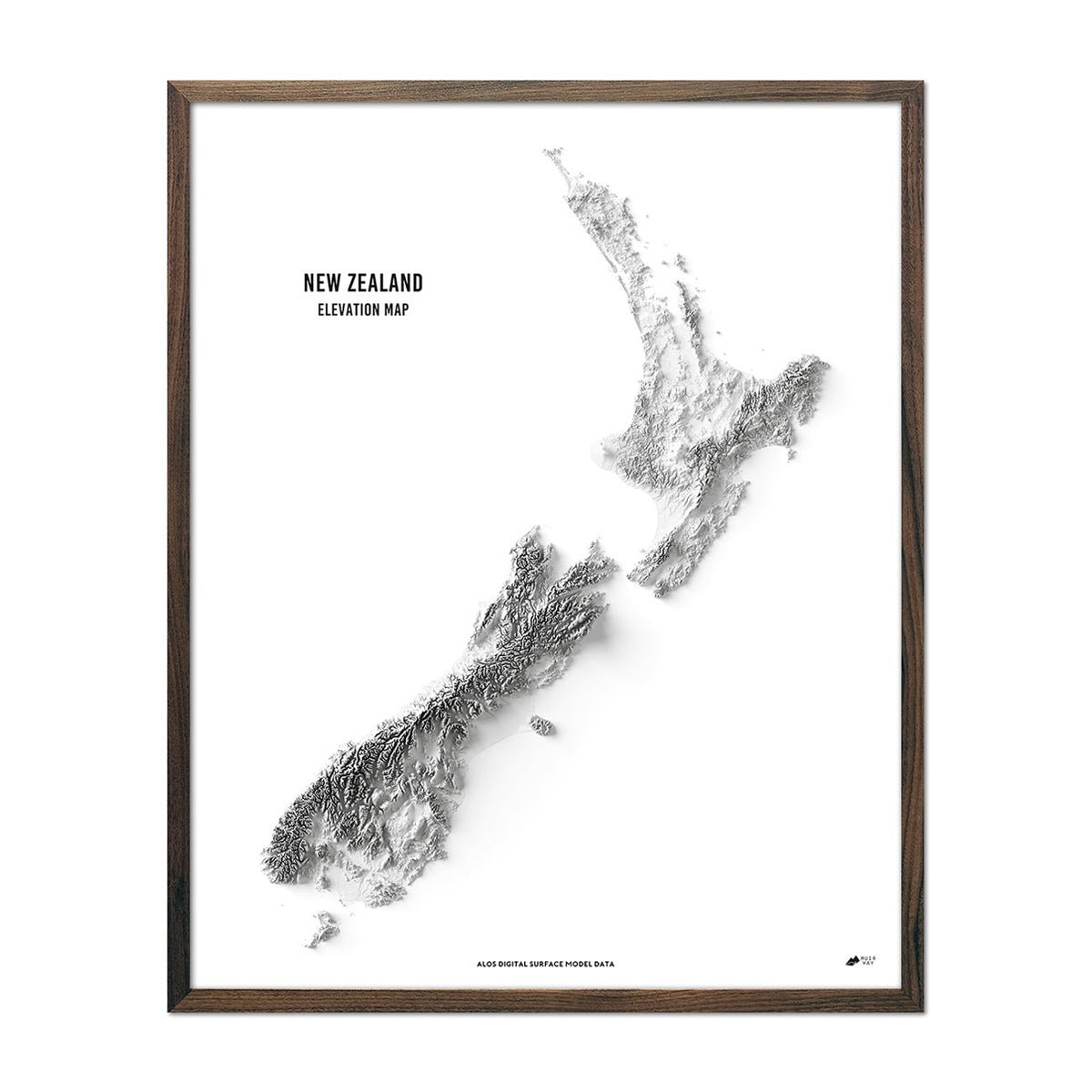
Our elevation maps are some of our most detailed and artfully created maps. They take digital elevation models (DEM), exaggerate their features for best effect, based on the height variation of the natural relief, then are hillshaded by placing a hypothetical light source at an angle somewhere above the map surface. The result is a black and white map that creates a 3D illusion effect whilst being printed in 2D on quality paper. We have a wide selection of US elevation maps of all states and territories, including Mexico and Canada.
Where can I find Elevation Data?
Global elevation data has become easier to obtain in recent years, particularly open source data.
Sources of data, including the Space Shuttle Radar Topography Mission 10-meter resolution digital elevation models (DEM):
- EarthExplorer (usgs.gov)
- GIS Data Download (usgs.gov)
- https://www.eorc.jaxa.jp/ALOS/en/aw3d30/ (ALOS Global Digital Surface Model)
- OpenTopography - Find Topography Data
- National Lidar Dataset (United States) - Wikipedia
Free, online contour and/or topographical maps without having map making or geospatial data analysis software:
What is the Difference between our Elevation Maps and traditional Topographic Maps?
Traditional topographic maps are akin to those made by the US Geological Survey (USGS), displaying all major natural and manmade features and a selection of large and small scale formats. Scale will determine the level of detail. Our elevation maps are black and white allowing the natural relief to shine through. Our elevation maps combine digital elevation modeling (DEM) tech-savvy and hillshading artistry. The DEM is elevation data obtained to represent mountains, hills, and valleys on the ground. Hillshading is the placement of a hypothetical light to illuminate those peaks and valleys. Lastly, the DEM can be exaggerated to display small variations in elevation more clearly. We balance all these factors to create maps with the illusion of being 3D on the quality, 2D paper they’re printed on. You get the ease of framing that comes from flat, 2D printing with the effect of a map that jumps off the page.
