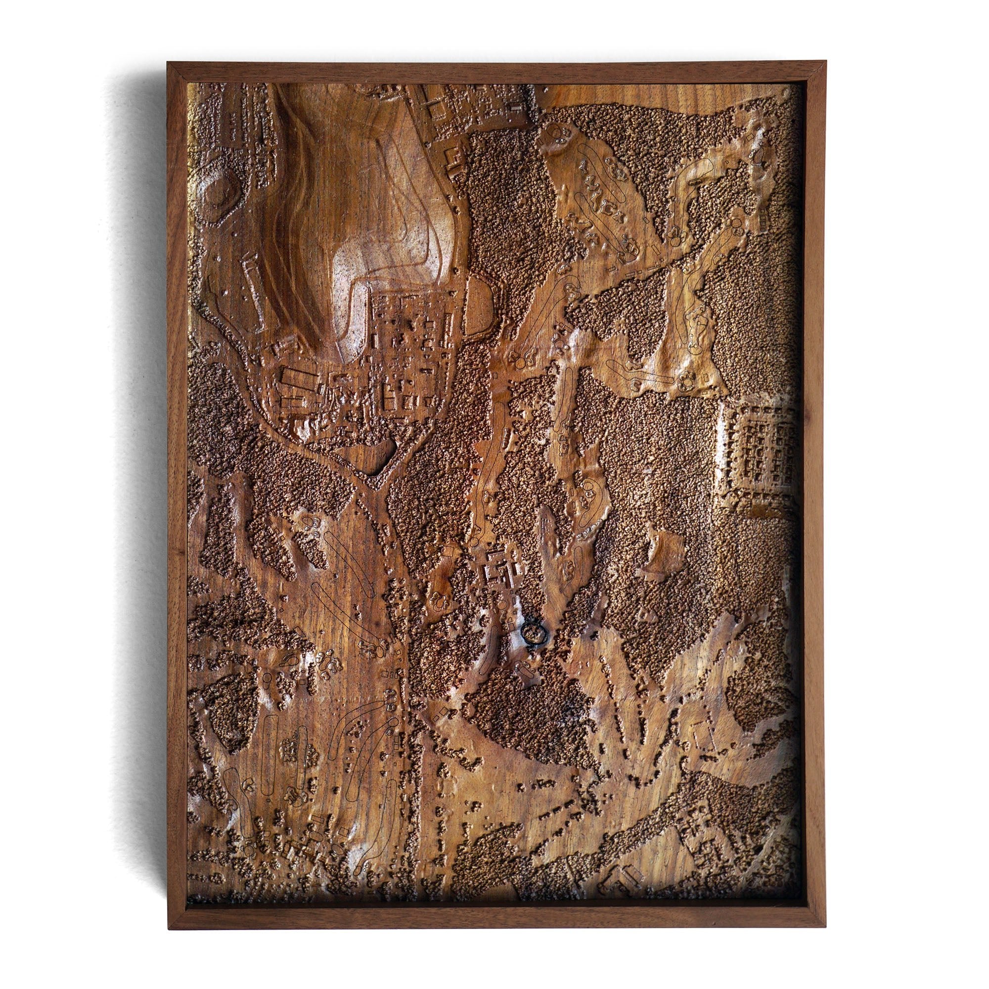
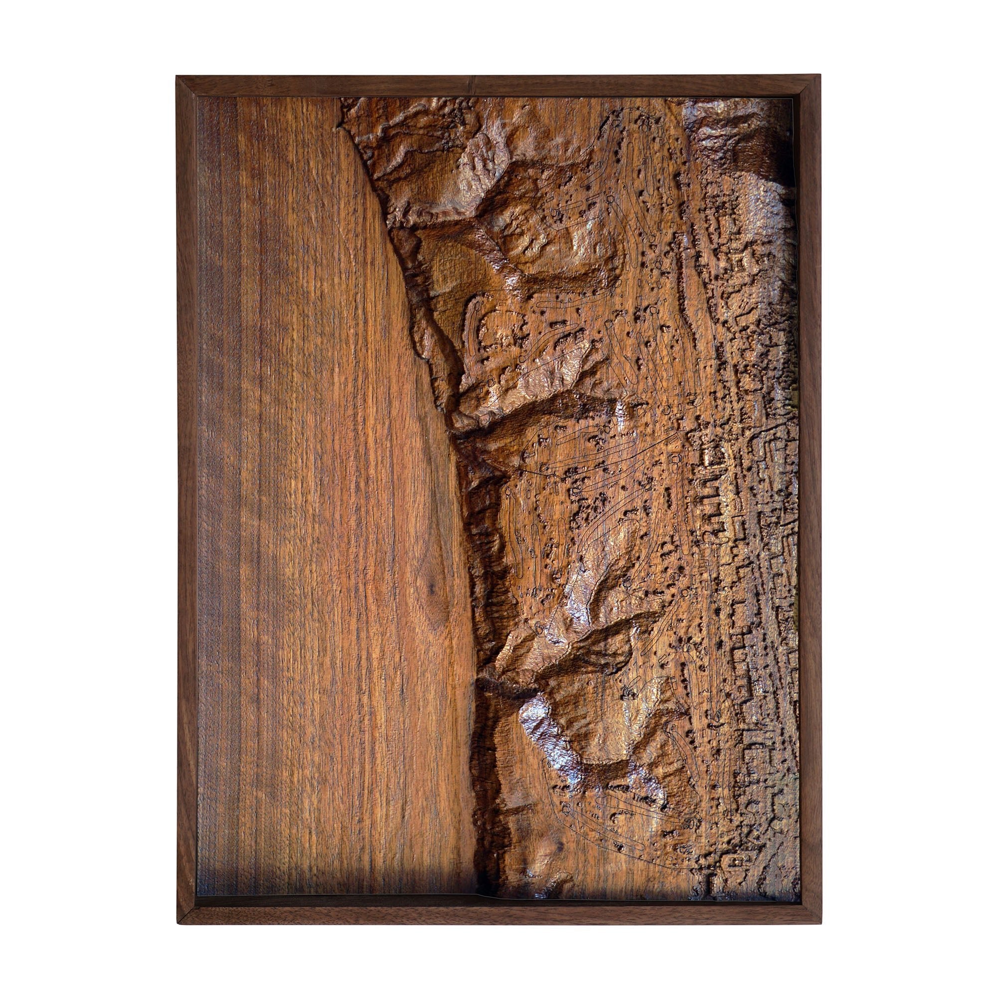
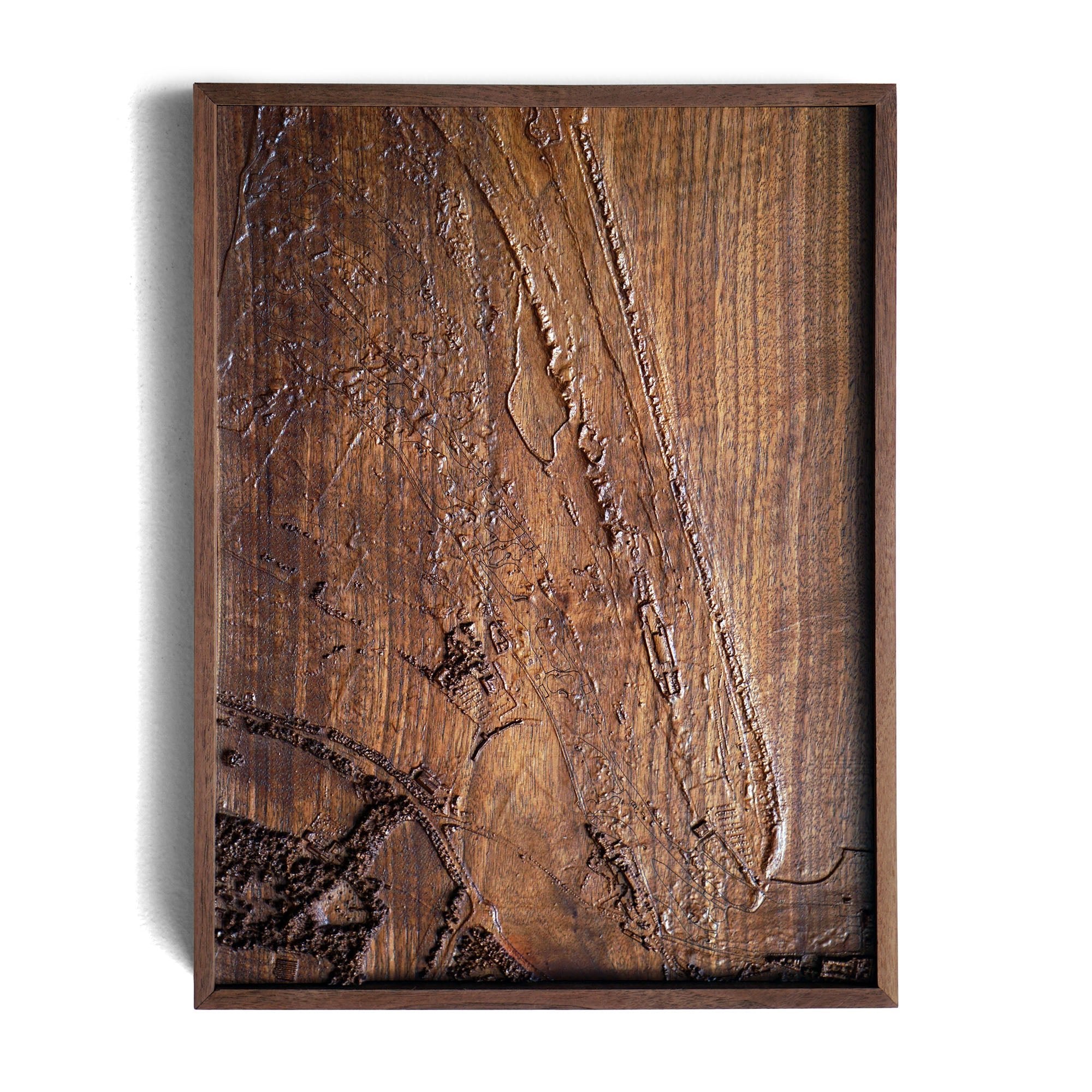
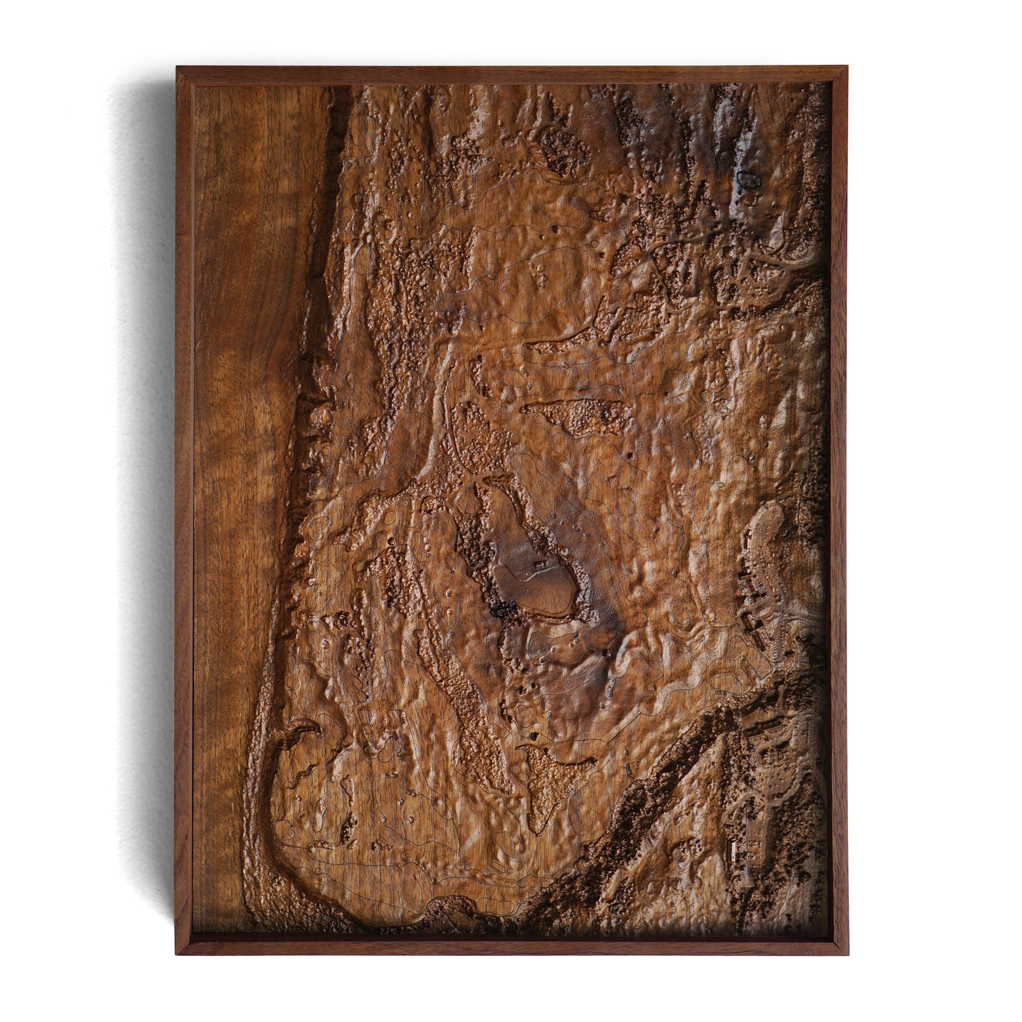
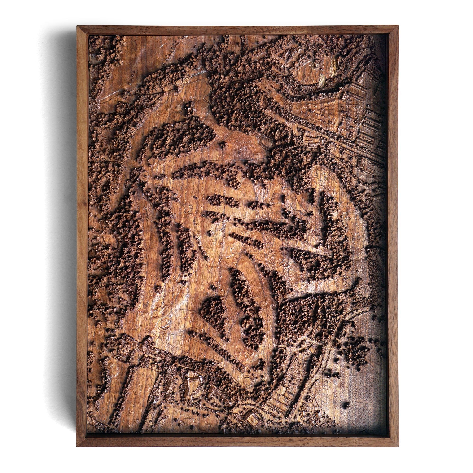
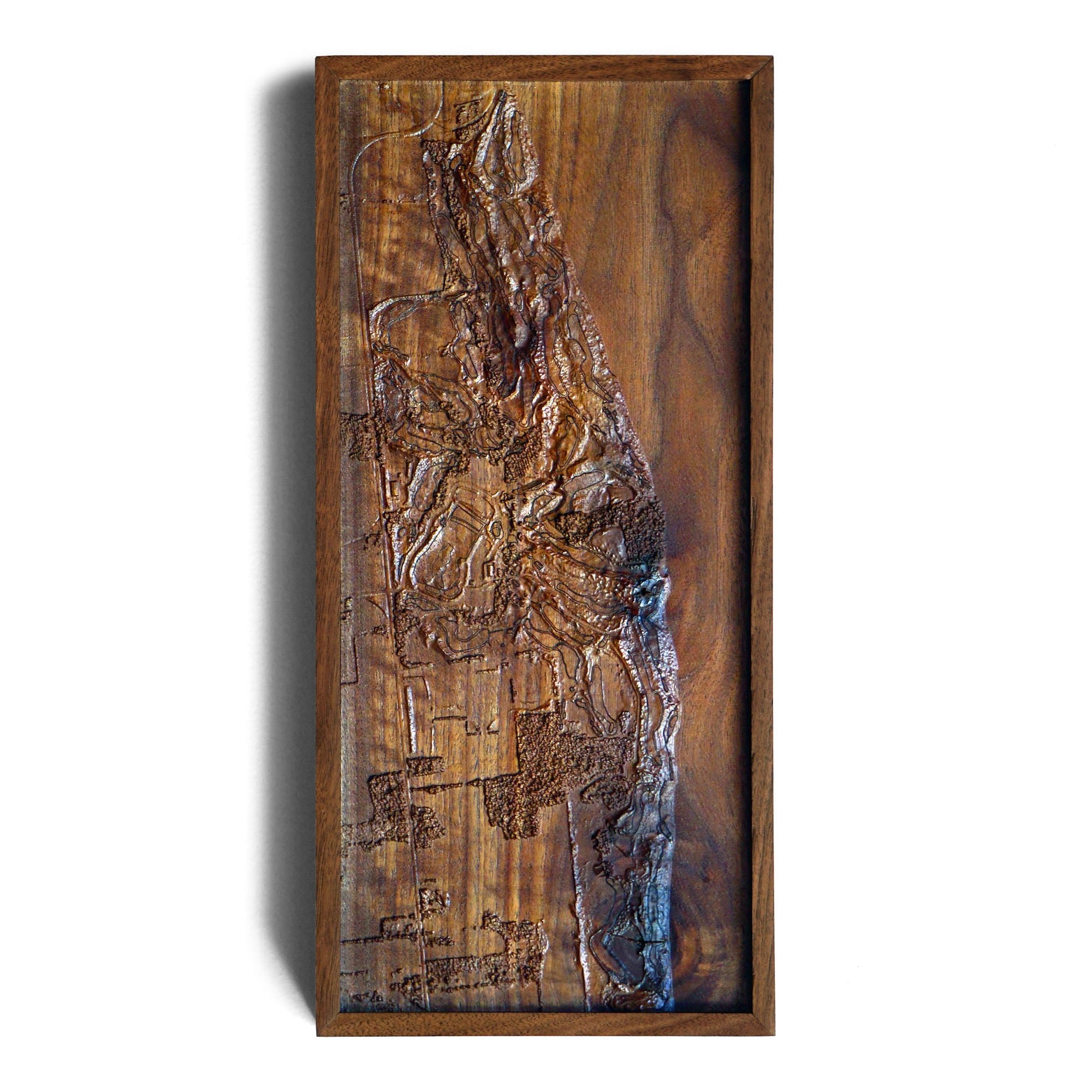
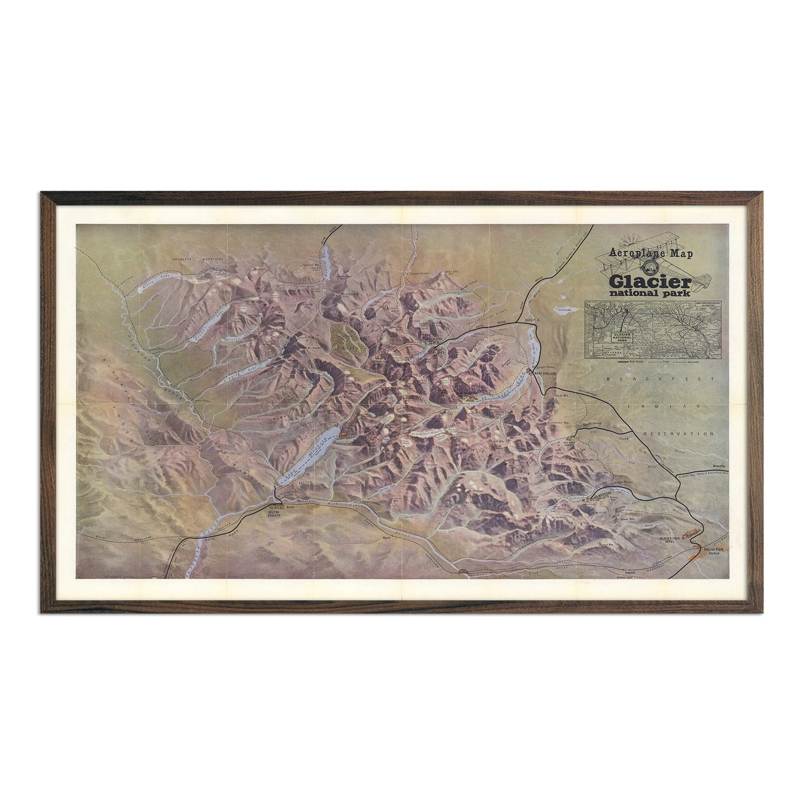
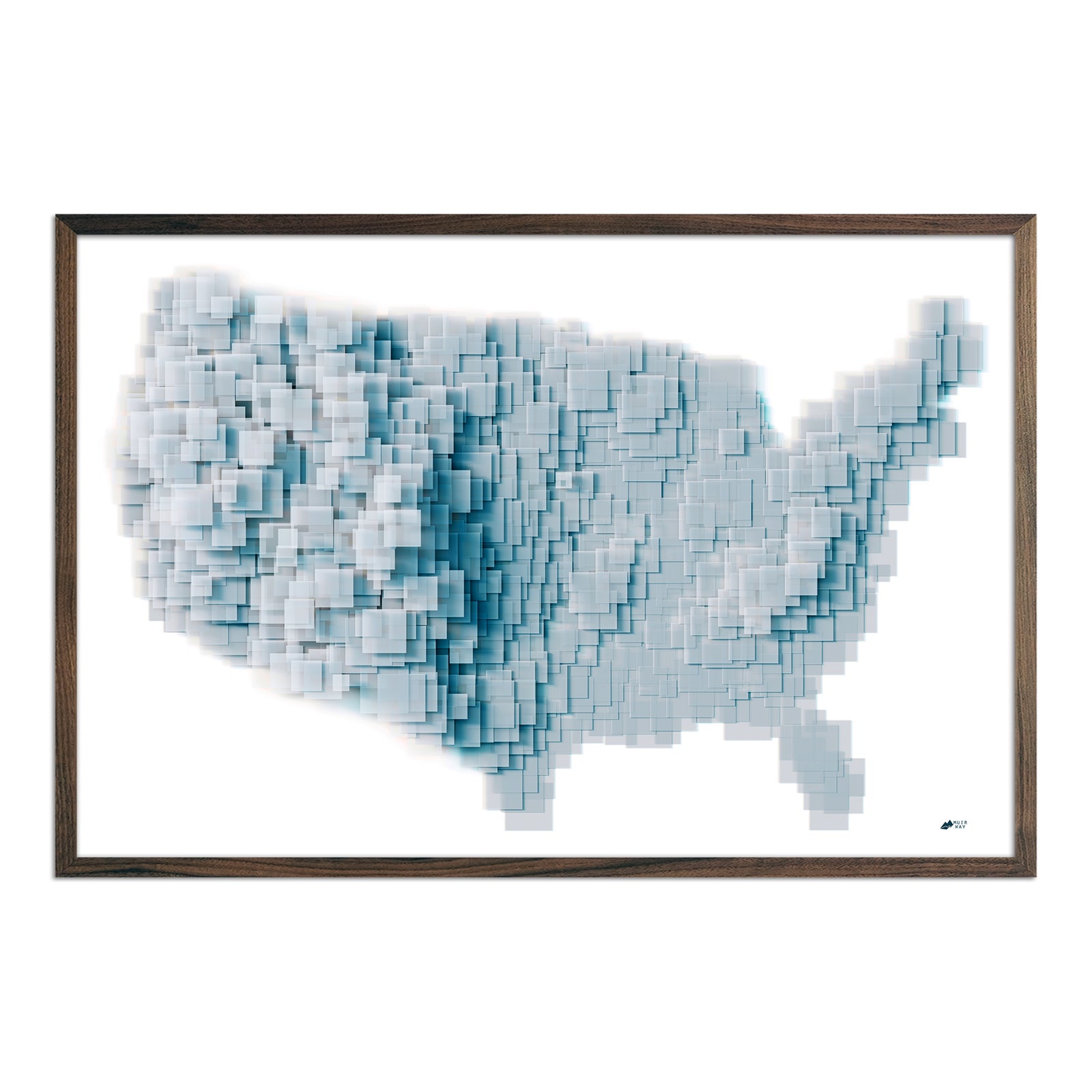
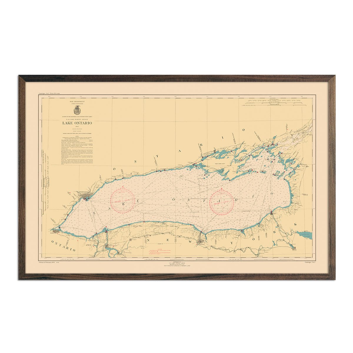
Skip to content
Facebook
Instagram
Pinterest
Country/Region
United States (USD $)
Search
Account
Search
Cart
Popular Collections
3D Raised Relief Maps
Vintage Shaded Relief Maps
Hydrological Maps
Apparel
Best Sellers
Shop by Region
USA Maps
State Maps
International Maps
National Park Maps
Shop by Type
Collections
3D Raised Relief
Hydrology Series
2D Vintage Shaded Relief
2D Elevation Relief
Natural Atlas Maps
TOPO Series
National Park Series
2D Shaded Relief
Mountain Range
Gift Cards
"Factory Seconds" Walnut Frames
3D Raised Relief Maps
Shaded Relief Maps
Hydrological Maps
Historical Prints
Illustrations and Photographs
1884 Fish Drawings
1875 Zoology Drawings
1868 Yosemite Photos
1873 Yellowstone Photos
1874 Moon Photos
Historical Maps
Astronomy
Civil War Maps
Nautical Maps
Assorted Vintage
USGS Quadrant Maps
1876 State Maps
1876 Geologic/Topographic
1883 State Maps
1904 Yellowstone Maps
1906 Hawaii Maps
1884 Fish Drawings
Astronomy
Civil War Maps
Apparel/Home Goods
Mountain Glasses
Books
Tees
Hats
Topo Blankets
Walnut Frames
Mountain Glasses
Tees
Books
About Us
Our Story
Reviews
FAQs
Shipping and Returns
Contact Us
Best Sellers
USA Maps
US States
National Parks
North America
World Maps
Continent Maps
Africa
Asia
Europe
Oceanic
South America
USA Maps
Alabama
Alaska
Arizona
Arkansas
California
Colorado
Connecticut
Delaware
Florida
Georgia
Guam
Hawaii
Idaho
Illinois
Indiana
Iowa
Kansas
Kentucky
Louisiana
Maine
Maryland
Massachusetts
Michigan
Minnesota
Mississippi
Missouri
Montana
Nebraska
Nevada
New Hampshire
New Jersey
New Mexico
New York
North Carolina
North Dakota
Ohio
Oklahoma
Oregon
Pennsylvania
Puerto Rico
Rhode Island
Saipan
South Carolina
South Dakota
Tennessee
Texas
USA
Utah
Vermont
Virginia
Washington
Washington DC
West Virginia
Wisconsin
Wyoming
National Parks Map
Acadia
Adirondack
Apostle Islands
Appalachian Trail
Arches
Badlands
Big Bend
Black Canyon
Bryce Canyon
Buffalo River
Canyonlands
Cape Hatteras
Capitol Reef
Carlsbad Caverns
Catskill
Channel Islands
Congaree
Crater Lake
Cuyahoga
Death Valley
Denali
Everglades and Biscayne
Gates of the Arctic
Glacier
Grand Canyon
Grand Teton
Great Basin
Great Sand Dune
Great Sand Dunes
Great Smoky Mountains
Green Mountain
Guadalupe
Haleakala
Hawaii Volcanoe
Hot Springs
Isle Royale
Joshua Tree
Katmai
Kings Canyon
Lake Clark
Lassen
Mammoth Cave
Mesa Verde
Mount Rainier
Mt Rainier
North Cascades
Olympic
Ozark
Pacific Crest Trail
Petrified Forest
Pinnacles
Point Reyes
Redwood
Rocky Mountain
Saguaro
Sequoia
Shenandoah
Snoqualmie
St Elias
Theodore Roosevelt
Virgin Islands
Voyageurs
Wind Cave
Wrangell
Yellowstone
Yosemite
Zion
Grand Tetons
Canada
Central America
Cuba
Jamaica
Mexico
North America
Panama
USA
World Map
Africa
Europe
North America
South America
1885 Africa
1923 Africa
1958 Africa
East Africa
Kenya
Kilimanjaro
Afghanistan
Arabian Peninsula
Borneo
China
East Africa
Hong Kong
Indonesia
Iran
Iraq
Isreal
Japan
Kenya
Kilimanjaro
Korea
Mt Everest
Pakistan
Philippines
Taiwan
Thailand
Vietnam
1962 Europe
Alps
Austria
Cyprus
France
Germany
Great Britain
Greece
Iceland
Ireland
Italy
Netherlands
Portugal
Scandinavia
Spain
Switzerland
Ukraine
Antartica
Australia
Fiji
New Zealand
Tasmania
1943 Air Lines Map
1922 South America
1950 South America
Argentina
Brazil
Chile
Colombia
Ecuador
South America Hydrology
Trinidad
Filter
Sort by
Featured
Featured
Best selling
Alphabetically, A-Z
Alphabetically, Z-A
Date, old to new
Date, new to old
Filters
USA Maps
USA Maps
US States
Alabama
Alaska
Arizona
Arkansas
California
Colorado
Connecticut
Delaware
Florida
Georgia
Guam
Hawaii
Idaho
Illinois
Indiana
Iowa
Kansas
Kentucky
Louisiana
Maine
Maryland
Massachusetts
Michigan
Minnesota
Mississippi
Missouri
Montana
Nebraska
Nevada
New Hampshire
New Jersey
New Mexico
New York
North Carolina
North Dakota
Ohio
Oklahoma
Oregon
Pennsylvania
Puerto Rico
Rhode Island
Saipan
South Carolina
South Dakota
Tennessee
Texas
USA
Utah
Vermont
Virginia
Washington
Washington DC
West Virginia
Wisconsin
Wyoming
National Parks
National Parks Map
Acadia
Adirondack
Apostle Islands
Appalachian Trail
Arches
Badlands
Big Bend
Black Canyon
Bryce Canyon
Buffalo River
Canyonlands
Cape Hatteras
Capitol Reef
Carlsbad Caverns
Catskill
Channel Islands
Congaree
Crater Lake
Cuyahoga
Death Valley
Denali
Everglades and Biscayne
Gates of the Arctic
Glacier
Grand Canyon
Grand Teton
Great Basin
Great Sand Dune
Great Sand Dunes
Great Smoky Mountains
Green Mountain
Guadalupe
Haleakala
Hawaii Volcanoe
Hot Springs
Isle Royale
Joshua Tree
Katmai
Kings Canyon
Lake Clark
Lassen
Mammoth Cave
Mesa Verde
Mount Rainier
Mt Rainier
North Cascades
Olympic
Ozark
Pacific Crest Trail
Petrified Forest
Pinnacles
Point Reyes
Redwood
Rocky Mountain
Saguaro
Sequoia
Shenandoah
Snoqualmie
St Elias
Theodore Roosevelt
Virgin Islands
Voyageurs
Wind Cave
Wrangell
Yellowstone
Yosemite
Zion
Grand Tetons
North America
Canada
Central America
Cuba
Jamaica
Mexico
North America
Panama
USA
World Maps
World Map
Continent Maps
Africa
Europe
North America
South America
Africa
1885 Africa
1923 Africa
1958 Africa
East Africa
Kenya
Kilimanjaro
Asia
Afghanistan
Arabian Peninsula
Borneo
China
East Africa
Hong Kong
Indonesia
Iran
Iraq
Isreal
Japan
Kenya
Kilimanjaro
Korea
Mt Everest
Pakistan
Philippines
Taiwan
Thailand
Vietnam
Europe
1962 Europe
Alps
Austria
Cyprus
France
Germany
Great Britain
Greece
Iceland
Ireland
Italy
Netherlands
Portugal
Scandinavia
Spain
Switzerland
Ukraine
Oceanic
Antartica
Australia
Fiji
New Zealand
Tasmania
South America
1943 Air Lines Map
1922 South America
1950 South America
Argentina
Brazil
Chile
Colombia
Ecuador
South America Hydrology
Trinidad
Sort by
Featured
Best selling
Alphabetically, A-Z
Alphabetically, Z-A
Date, old to new
Date, new to old
Apply
Carte Polaire Sud Nautical Chart 1992
From
$ 79.00 USD
Carte Officielle des Stations Radiotelegraphiques of the Indian Ocean 1925
From
$ 79.00 USD
Carte Officielle des Stations Radiotelegraphiques of the Atlantic Ocean NW 1925
From
$ 64.00 USD
Carte Officielle des Stations Radiotelegraphiques of the Atlantic Ocean NE and Mediterranean 1925
From
$ 64.00 USD
Bering Sea - Eastern Part Nautical Chart 1923
From
$ 64.00 USD
Arctic Regions Showing Explorations Towards the North Pole 1907
From
$ 89.00 USD
San Diego Bay Approaches Nautical Chart 1979
From
$ 79.00 USD
Air Lines in South America with Avianca Routes 1943
From
$ 79.00 USD
FLAT
2D
Ft. Knox, Kentucky 2022 Shaded Relief Map
From
$ 79.00 USD
1874 Wargentin Crater Print
From
$ 64.00 USD
1874 Tycho Moon Crater Print
From
$ 64.00 USD
1874 Triesnecker Moon Crater Print
From
$ 64.00 USD
1874 Terrestrial and Lunar Volcanic Areas Compared Print
From
$ 64.00 USD
1874 Ptolemy, Alphons, and Arzachael Lunar Craters Print
From
$ 64.00 USD
1874 Gassendi Moon Crater Print
From
$ 64.00 USD
1874 Copernicus Moon Crater Print
From
$ 64.00 USD
1874 Aristotle and Eudoxus Moon Craters Print
From
$ 64.00 USD
1874 Aristarchus and Herodotus Moon Craters Print
From
$ 64.00 USD
View in Bridger Canyon, Near Fort Ellis, Yellowstone 1873
From
$ 35.00 USD
5.0 / 5.0
10 reviews
Crater of the Grotto Geyser, Yellowstone 1873
From
$ 35.00 USD
5.0 / 5.0
10 reviews
Crater of the Architectural Geyser, Lower Basin, Yellowstone 1873
From
$ 35.00 USD
5.0 / 5.0
10 reviews
Cap of Liberty, Mammoth Hot Springs, Yellowstone 1873
From
$ 35.00 USD
5.0 / 5.0
10 reviews
Yellowstone Topographic Map of Shoshone Section 1904 Map
From
$ 64.00 USD
Yellowstone Geologic Map of Shoshone Section 1904 Map
From
$ 64.00 USD
Yellowstone Geologic Map of Shoshone Geyser Basin 1904 Map
From
$ 64.00 USD
Yellowstone Geologic Map of Norris Geyser Basin 1904 Map
From
$ 69.00 USD
Yellowstone Topographic Map of Lake Section 1904 Map
From
$ 64.00 USD
Yellowstone Geologic Map of Ishawooa 1904 Map
From
$ 64.00 USD
Yellowstone Geologic Map of Gallatin 1904 Map
From
$ 64.00 USD
Yellowstone Geologic Map of Firehole Geyser Basin 1904 Map
From
$ 64.00 USD
Yellowstone Geologic Map of Crandall 1904 Map
From
$ 64.00 USD
Yellowstone Topographic Map of Canyon Section 1904 Map
From
$ 64.00 USD
Summit of Mt. Hoffmann, Yosemite 1868
From
$ 35.00 USD
4.9 / 5.0
18 reviews
North Dome, Royal Arches and Washington Column, Yosemite 1868
From
$ 35.00 USD
4.9 / 5.0
18 reviews
Nevada Basin 1876 Topographic Map
From
$ 69.00 USD
5.0 / 5.0
4 reviews
Daces and Chubs Art Print
From
$ 35.00 USD
Spinedace, Woundfin, and Dace Art Print
From
$ 35.00 USD
Butterflies - 3 Art Print
From
$ 35.00 USD
5.0 / 5.0
24 reviews
Beetles Art Print
From
$ 35.00 USD
Whitetail, Pennsylvania
From
$ 49.00 USD
Cranmore, New Hampshire
From
$ 49.00 USD
Spotted Black Rockfish Art Print
From
$ 35.00 USD
Sea Snails, Periwinkles, Drills, and Borers - Set 3 Art Print
From
$ 35.00 USD
Various Sea Creatures - Set 1 Art Print
From
$ 35.00 USD
Cutting Humpback Whale Art Print
From
$ 35.00 USD
Slime Eel (Hag) Art Print
From
$ 35.00 USD
Conger Sea Eel Art Print
From
$ 35.00 USD
Spiny-Back Eel Art Print
From
$ 35.00 USD
Spotted Moray Art Print
From
$ 35.00 USD
Fall-Fish (Silver Chub) and Horn Dace Art Print
From
$ 35.00 USD
« Previous
·
1
…
28
29
30
31
·
Next »
Your cart
Close
Close
Your cart is empty
Start shopping
Added to your
Cart