FREE SHIPPING on orders to the contiguous US over $49 with UPS ground or USPS to PO Boxes.
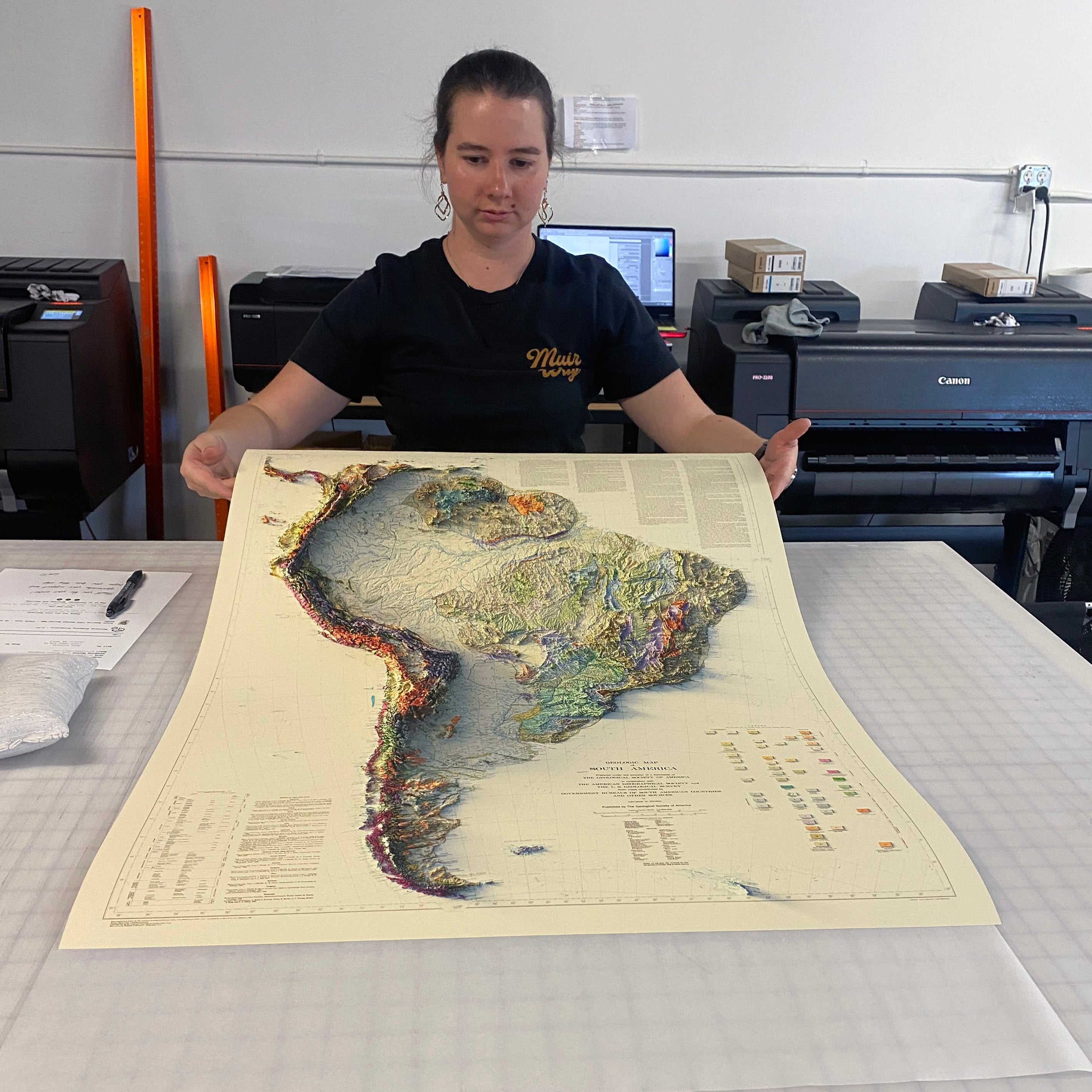
Unframed prints - Printed to order and shipped within 2-3 business days
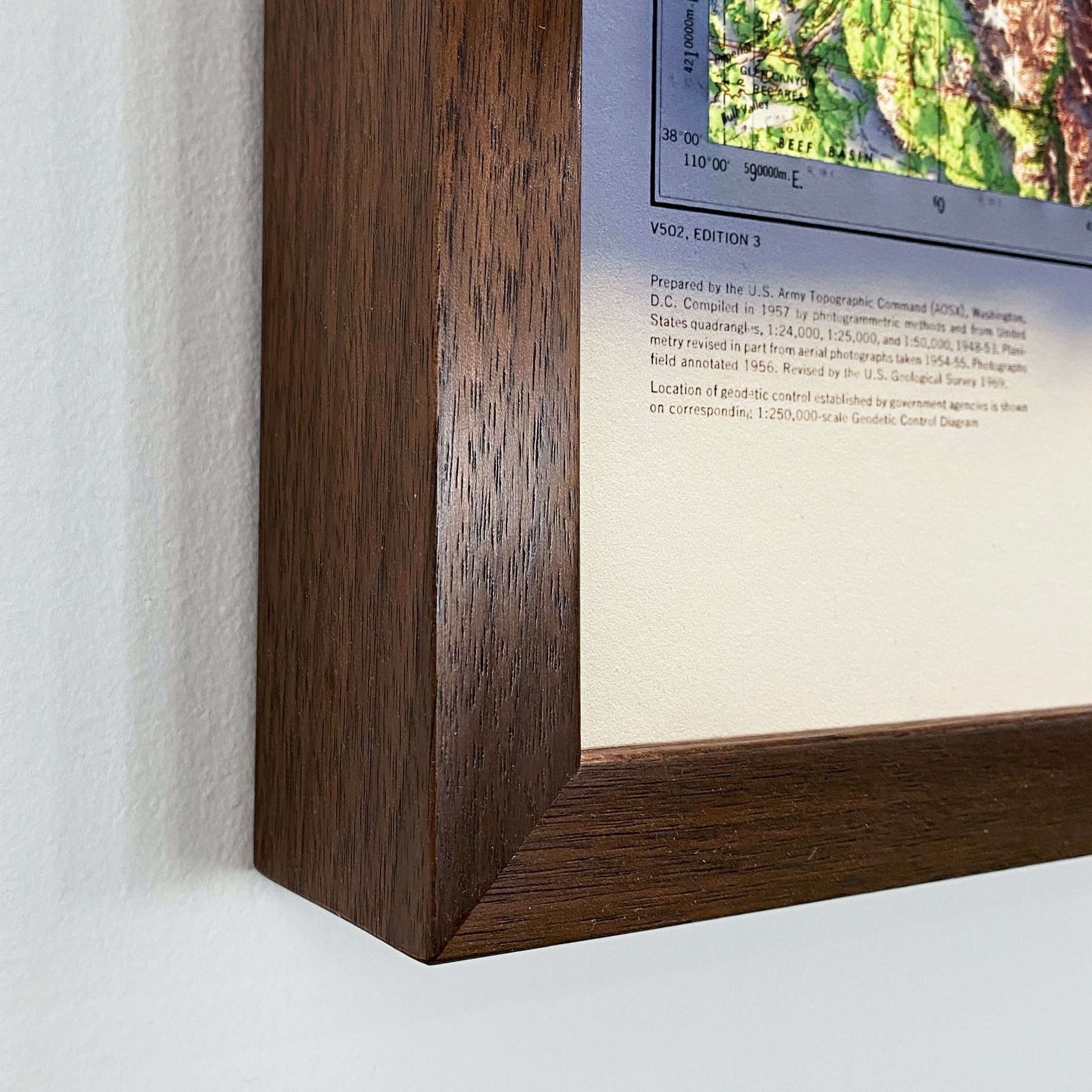
Framed prints - Custom framed and will ship in 3-4 weeks
Full refund on returns of unframed paper prints within 30 days of purchase. Prints must be returned in NEW condition without creases or damage. Please email us at info@muir-way.com for instructions.
If prints are shipped back to us and are not in new condition, we offer a store credit or can return them to you.
We do NOT ACCEPT returns or exchanges on framed prints or canvas wraps because they are made to order.
Click HERE for more information on shipping and returns.


