A portion of the proceeds from this map will be donated to the Nature Conservancy of Canada.
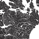
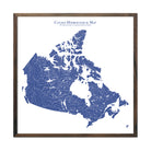
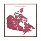
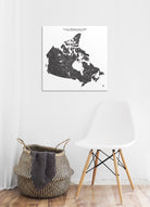
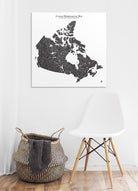
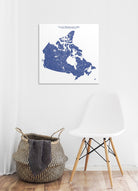
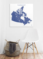
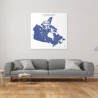
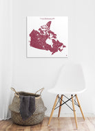
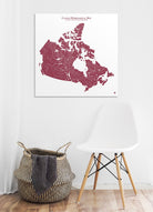
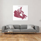
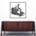
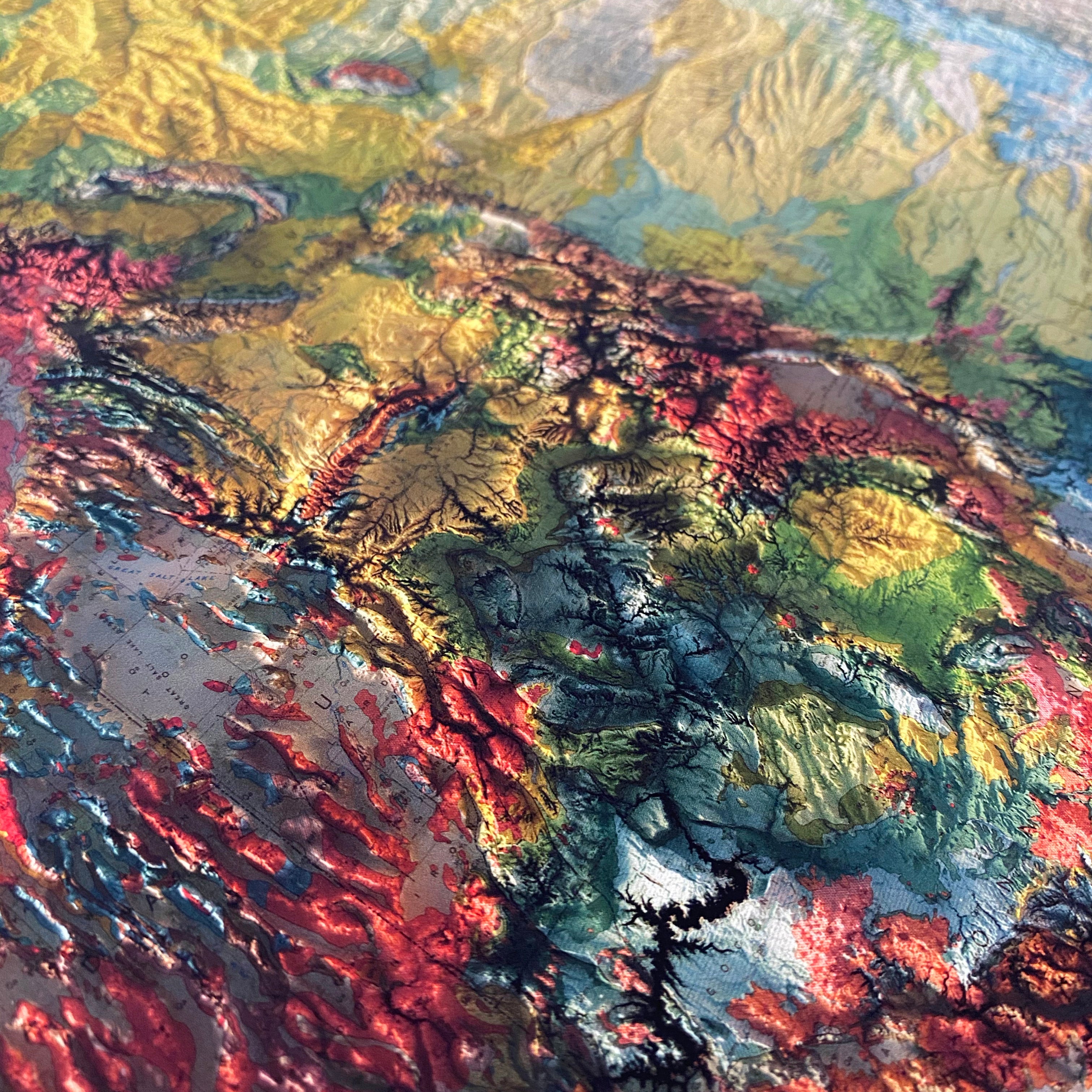
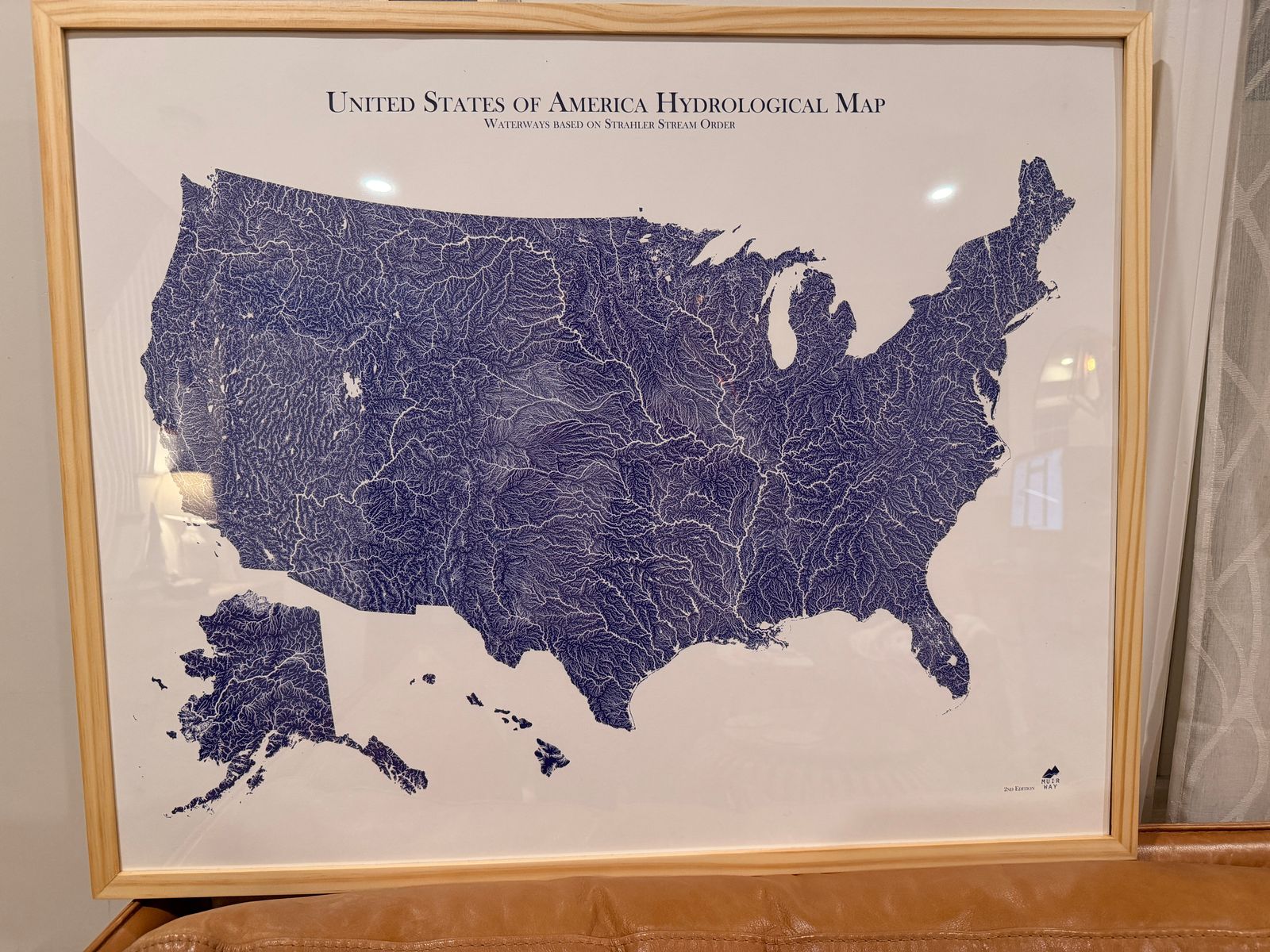
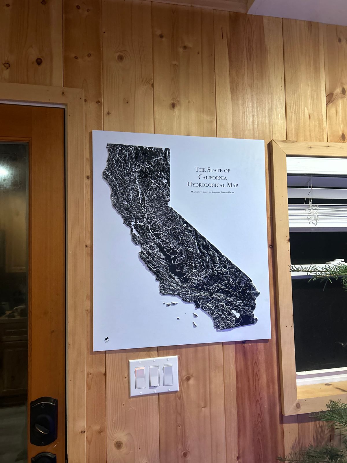
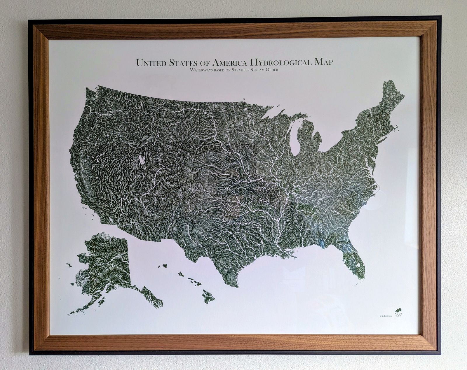
Water is literally the lifeblood of any country. If you’re drawn to water, you know that how and where it flows tells the story of a place. Our Canada Hydrological Map shows in fascinating detail how the country’s rivers and streams flow and interconnect, merge and diverge, carrying life to the land. The flow of water also has an inherent aesthetic elegance that our map captures beautifully.
It’s all in the details. Our map depicts every river in the country—even intermittent streams—and every body of water with a diameter greater than 6 miles. For an extra aesthetic touch, we apply a method called the Strahler Stream Order to show the hierarchy of streams as they flow from their source—rivers are shown thicker as they acquire the flow of tributaries. We think it enhances a sense of the interconnectedness of our waterways.
In our Hydrology Series, you’ll not only find your favorite rivers and lakes, but you’ll also be able to trace their origins and outflow and appreciate the beauty of their connections.
Printed by our partners in Canada
Ground Shipping within Canada
Paper Prints-2 to 3 weeks
Canvas Gallery Wraps-2 to 3 weeks