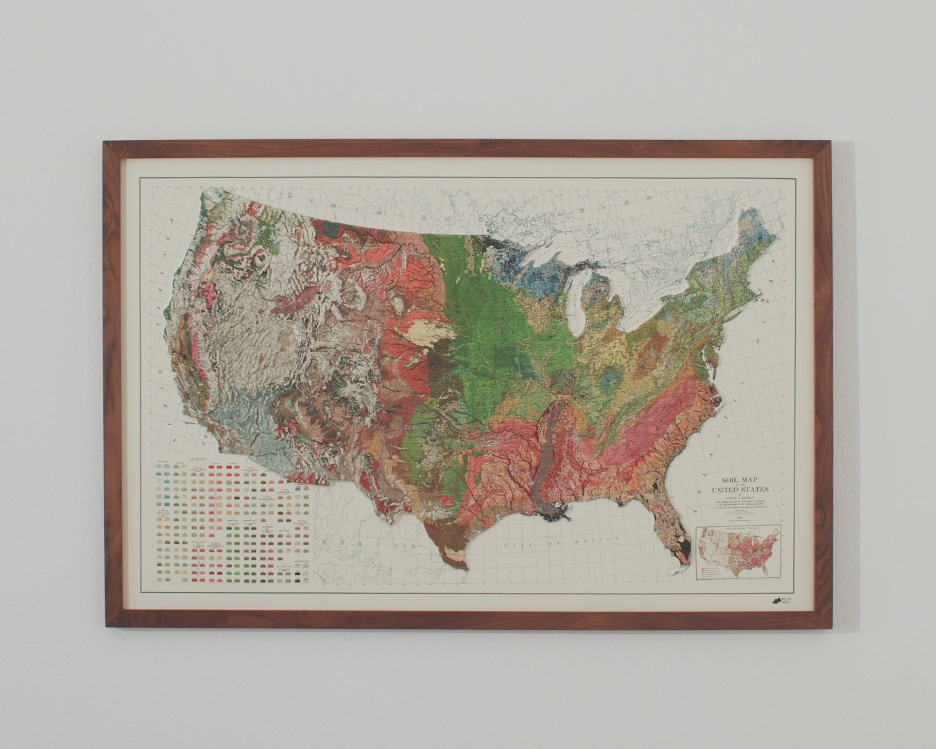
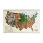
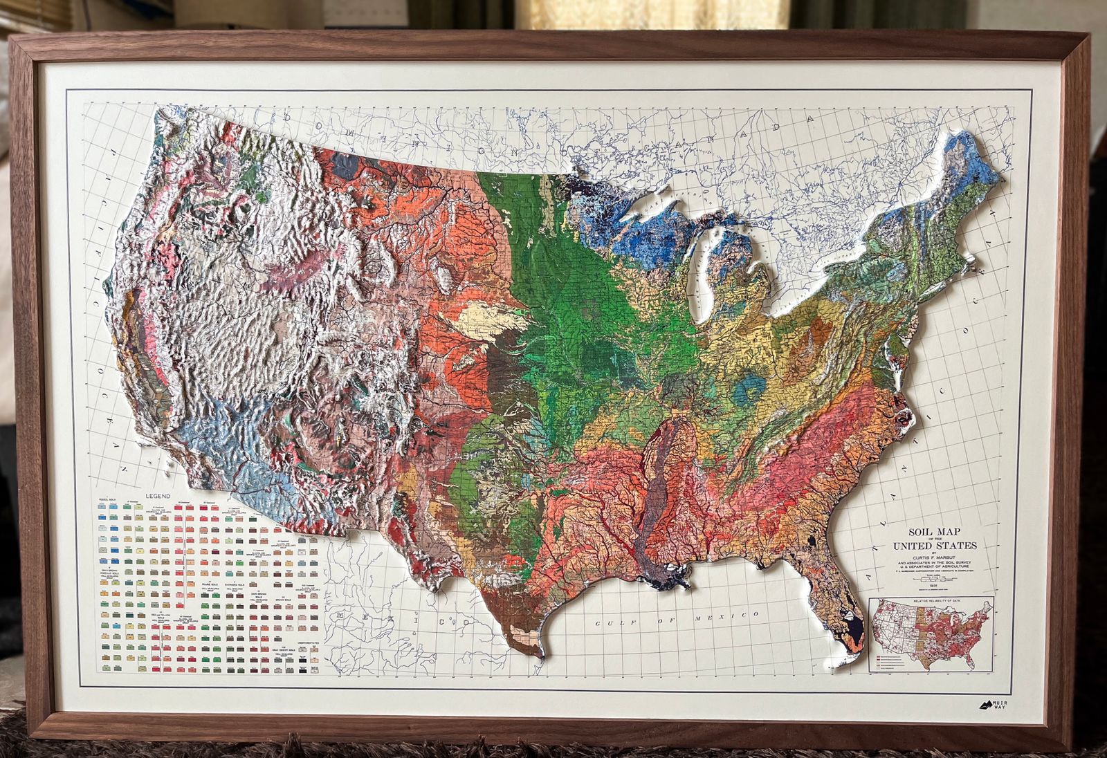
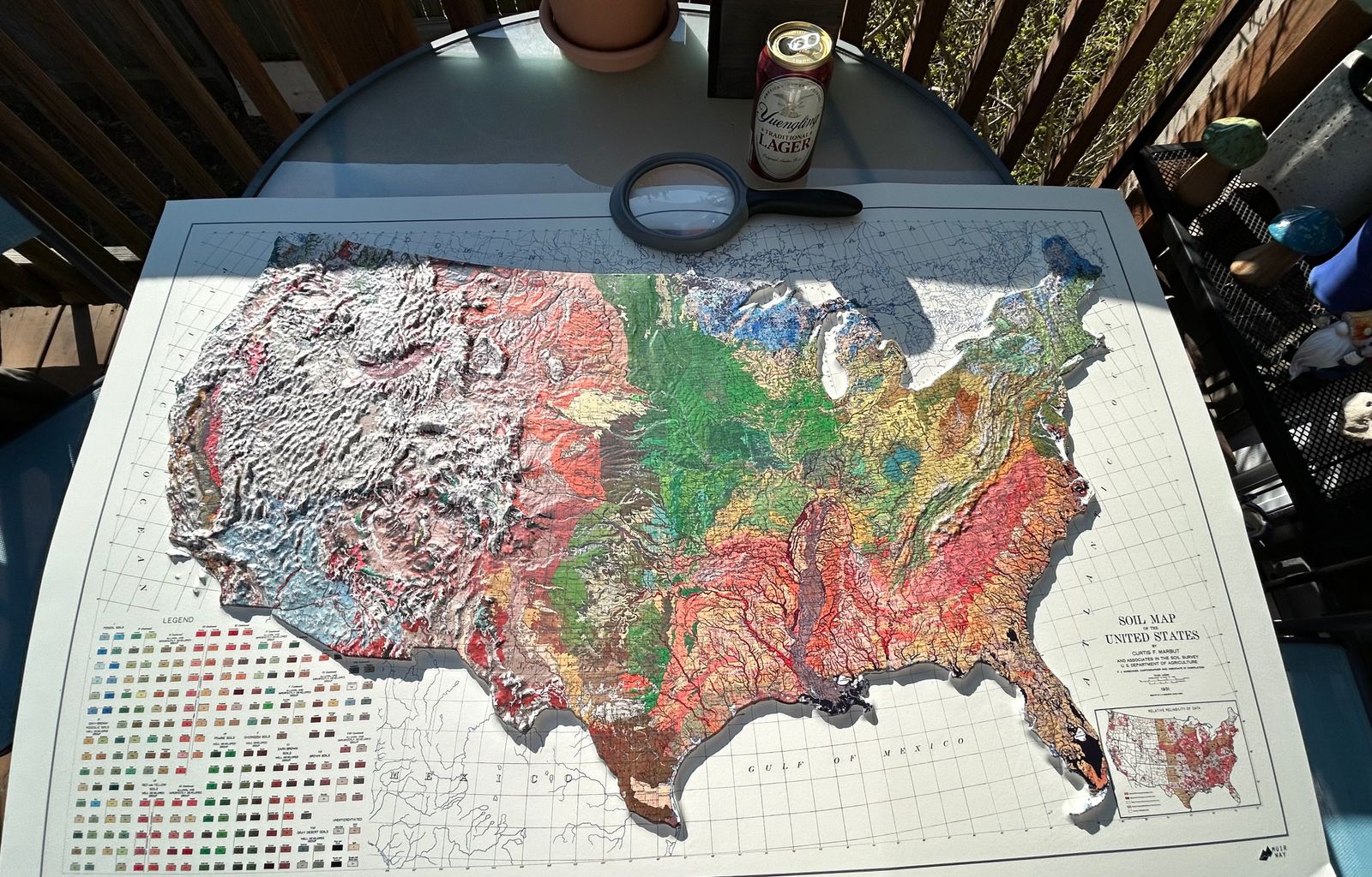
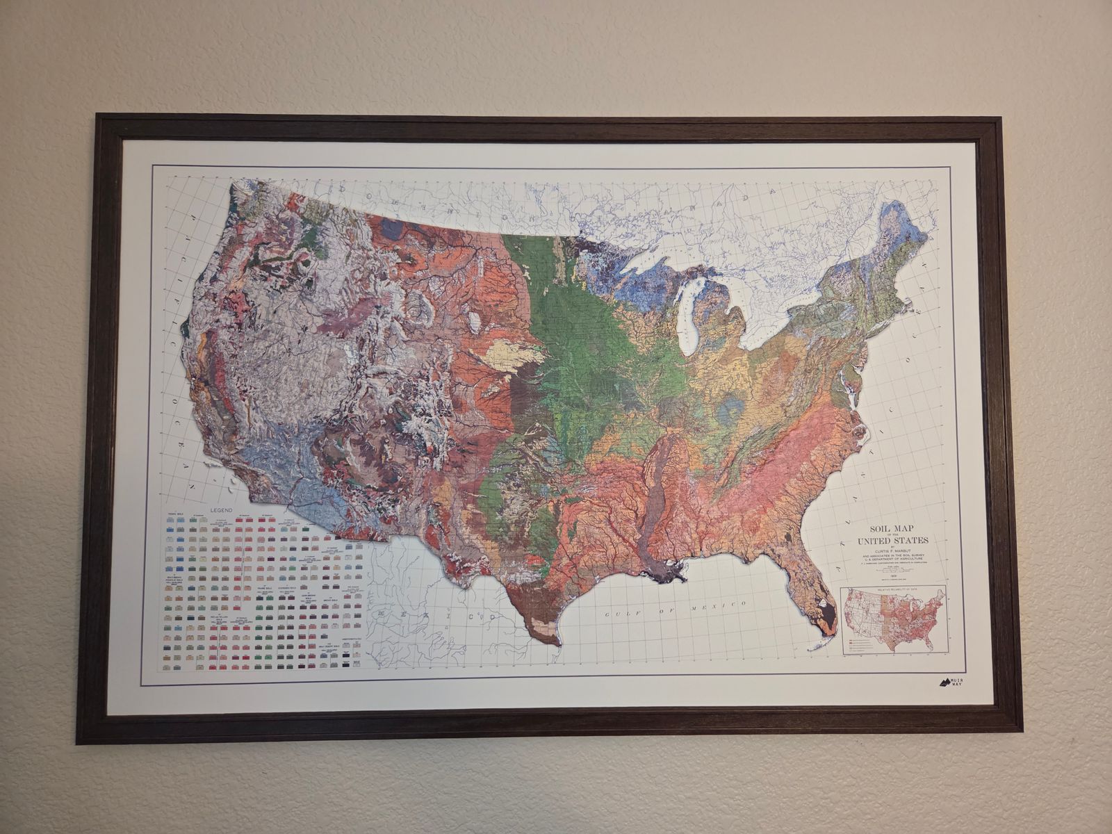
Published in 1931 as Plate 5 of the landmark Atlas of American Agriculture, this soil map was compiled under the direction of Curtis F. Marbut, who led the USDA's Soil Survey and developed an influential national soil classification system. Cartographer F.J. Marschner compiled the map under the supervision of the Bureau of Agricultural Economics, and it was lithographed by A. Hoen & Co. The map represents the culmination of decades of fieldwork surveying soil types across the continental United States — from the Great Plains to the Rocky Mountains — work undertaken to help American farmers and agricultural scientists better understand the ground beneath them. Hawaii and Alaska are not included on this map.
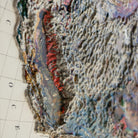
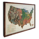
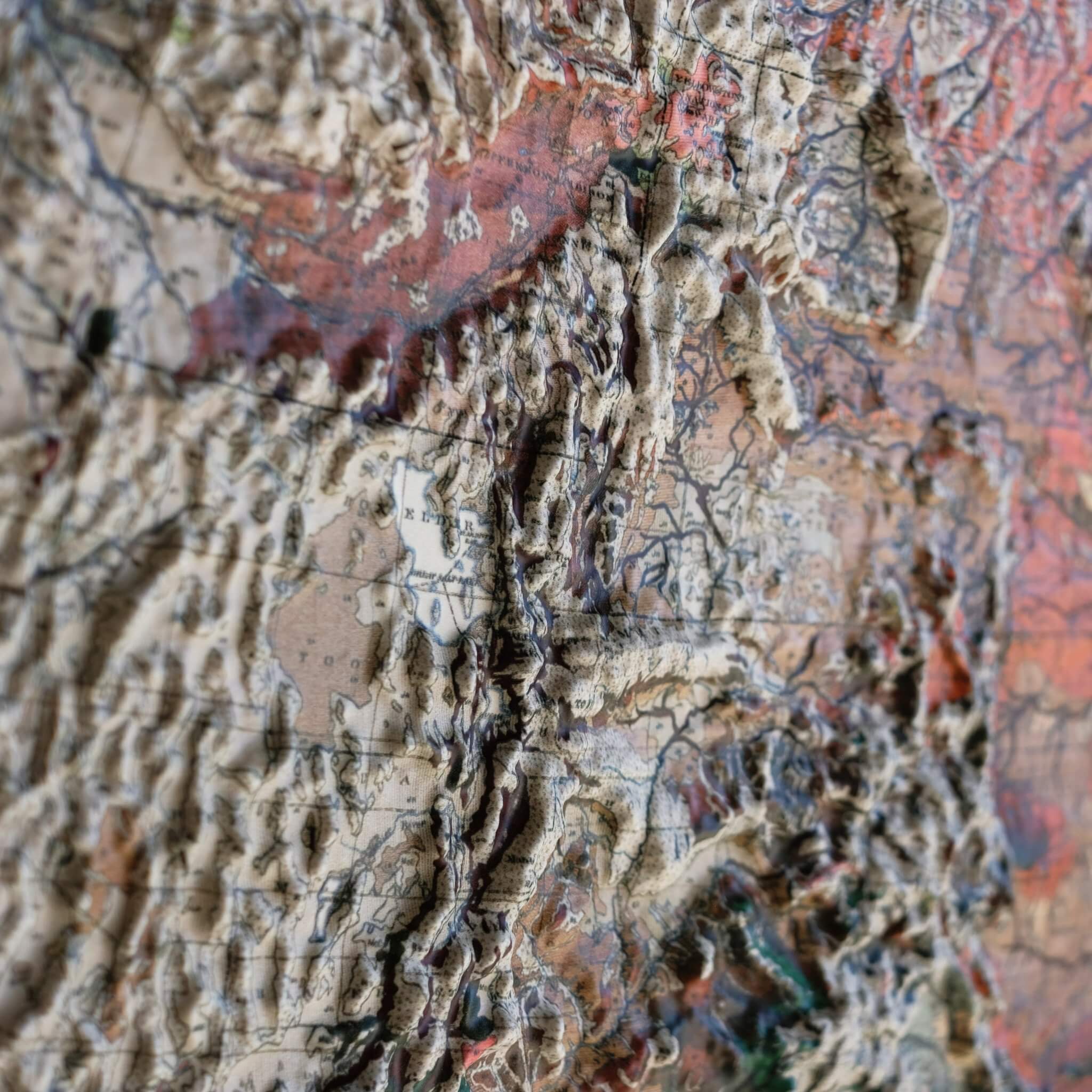
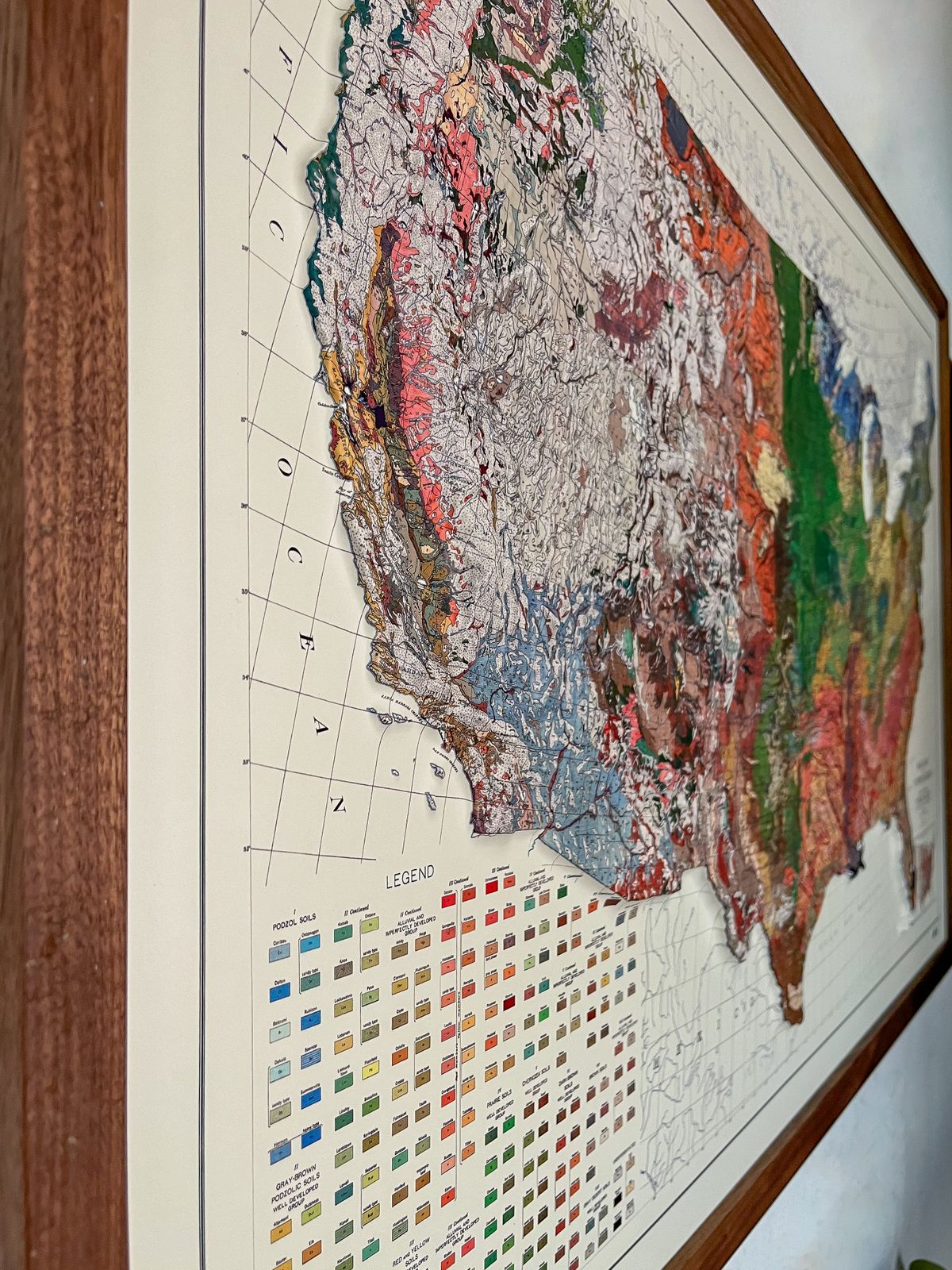
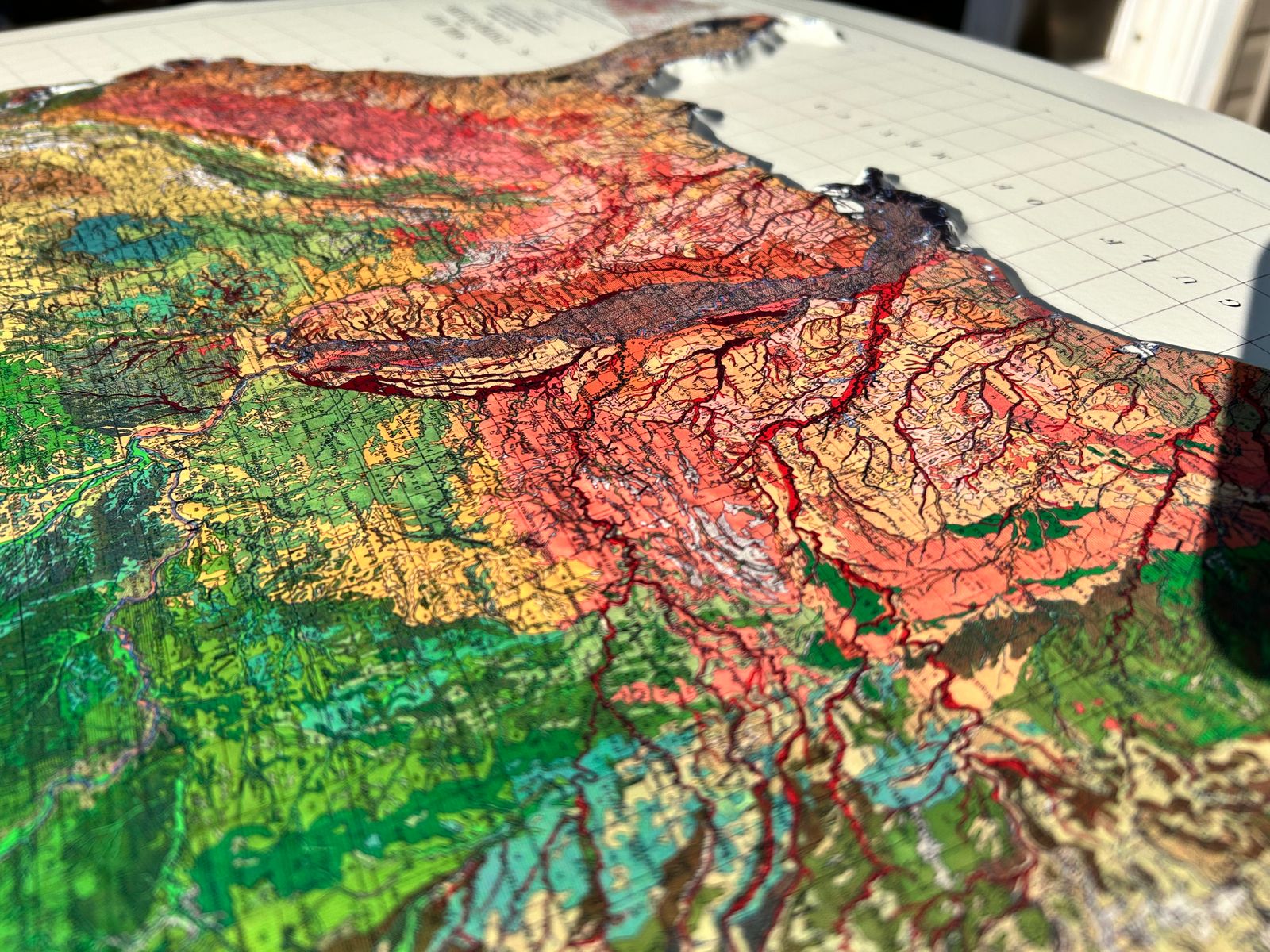
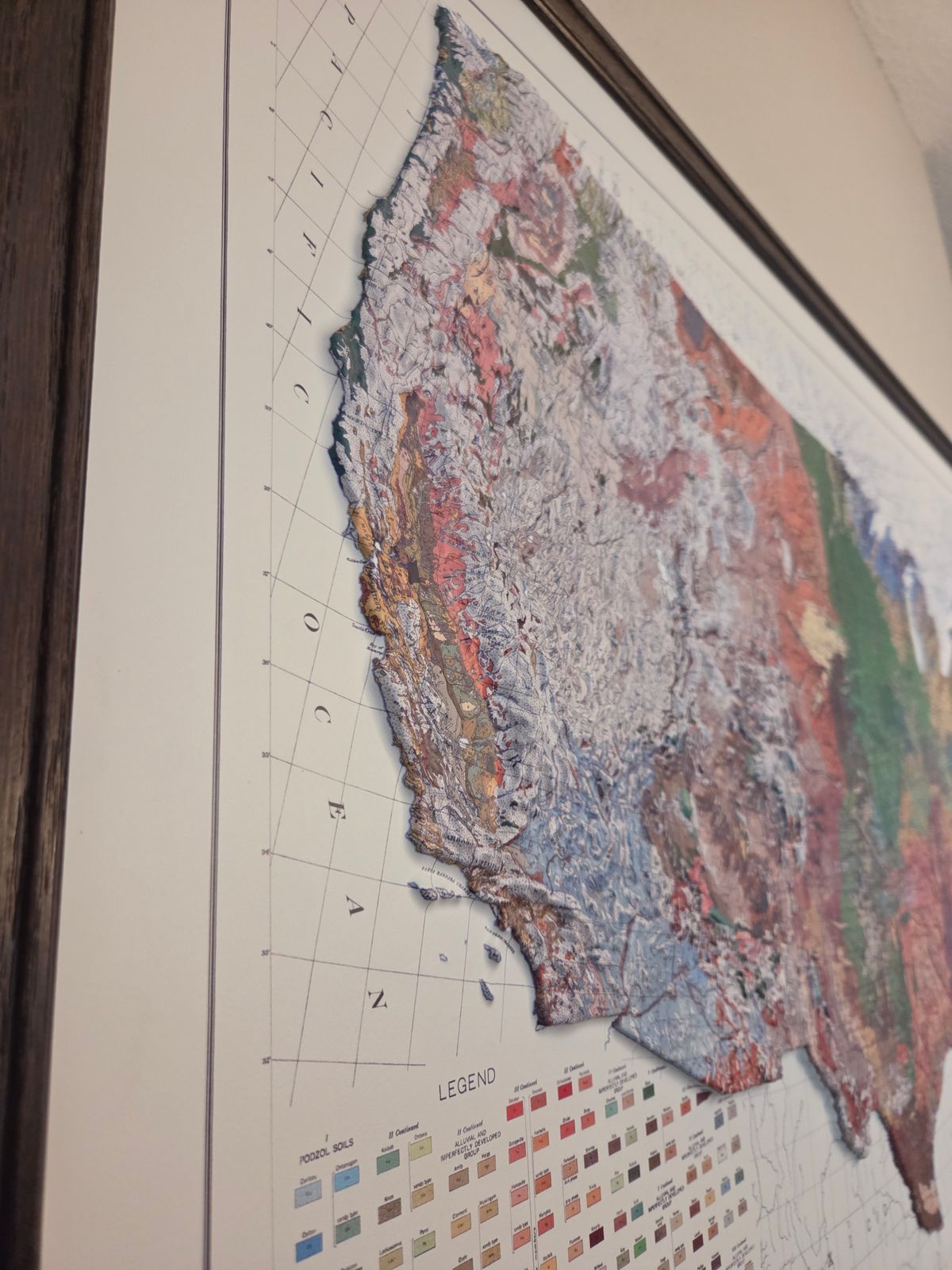
To create this piece, the original 1931 map is printed in full color, then heated and vacuum-formed over a precisely sculpted three-dimensional mold. That mold is built from modern digital elevation data, so every mountain range and valley you see is genuine raised, textured topography — not a flat illustration, but terrain you can actually feel.
Our framed maps have no glass or acrylic covering them, so you're free to reach out and touch the map, tracing the terrain and exploring its intricacies with your fingertips.
PLEASE NOTE: You will love this map if you embrace its anomalies. When the plastic is heated and stretched over the 3D mold, the image may be altered, causing warped lines and text around higher elevations. The fine print on plastic is not as sharp as on paper, sometimes rendering very small text illegible.
- Size - unframed 38x25 inches
- Size - framed 39x26 inches
- Material - plastic mounted on foamboard
- Handmade real Walnut frame available
- Individually made in our San Diego, CA shop